 |
|
Today we returned to the Pequannock Watershed for at least the sixth time in as many weeks. As previously mentioned, a permit is required for hiking in this area, and
the permit can only be purchased in person at the office which is closed on Saturdays and Sundays until sometime in either April or May. In other words, it's not easy,
and because it's not easy the hiker traffic is light. We have seen a grand total of five hikers in the half dozen trips here this year. So if you're after some real
solitude, you can't go wrong with getting a permit.
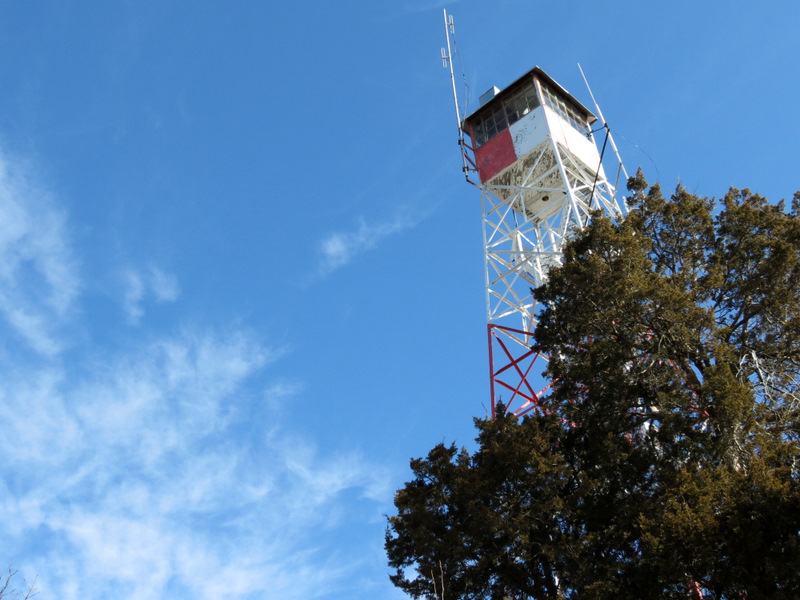
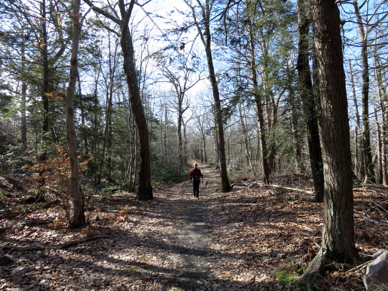
Today we parked in parking pull-off P-4 at the lovely trail head of the fantastically picturesque Two Brooks trail, easily one of the prettiest trails in the entire watershed. The trail head on Clinton Road is itself very pretty and inviting with a bench and a sturdy kiosk displaying a large NYNJTC map. This is not common in the watershed which is quite rugged and where trail heads merely begin without fanfare. From the trail head we headed east traveling the entire one-mile Two Brooks trail, then headed north on the yellow Fire Tower West trail. At the blue-blazed Newark Connector trail we headed east further climbing the ridge, then north to the fire tower on the Fire Tower Ridge trail. After taking in the spectacular views, we headed north on yellow all the way to Stephens Road and then turned back taking yellow all the way back to the Two Brooks trail which we then retraced back to the car. Total distance hiked today was 5 miles, in just over 3 hours.
|
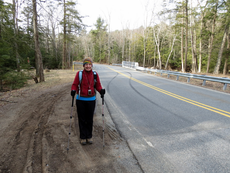 P-4 on Clinton Road looking south |
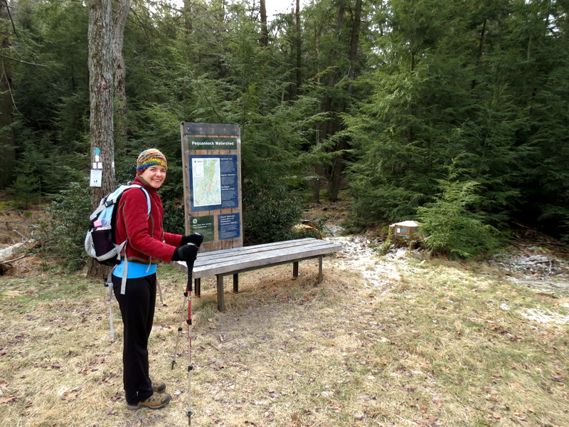 Bench and NYNJTC kiosk |
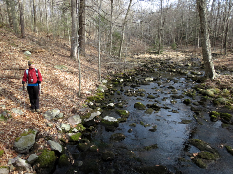
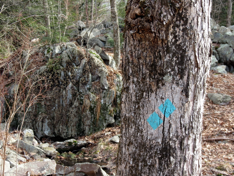
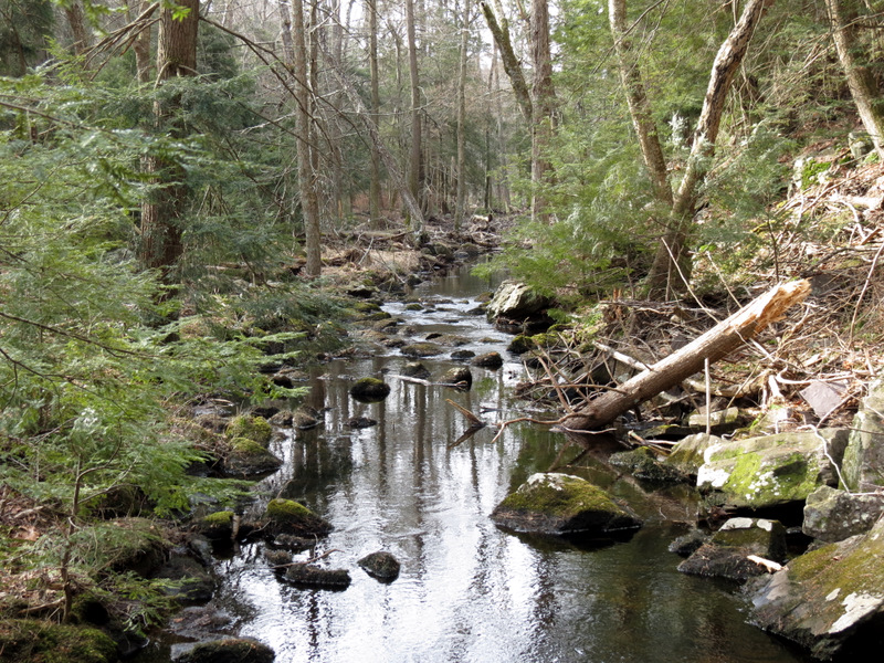
 Mossmans Brook |
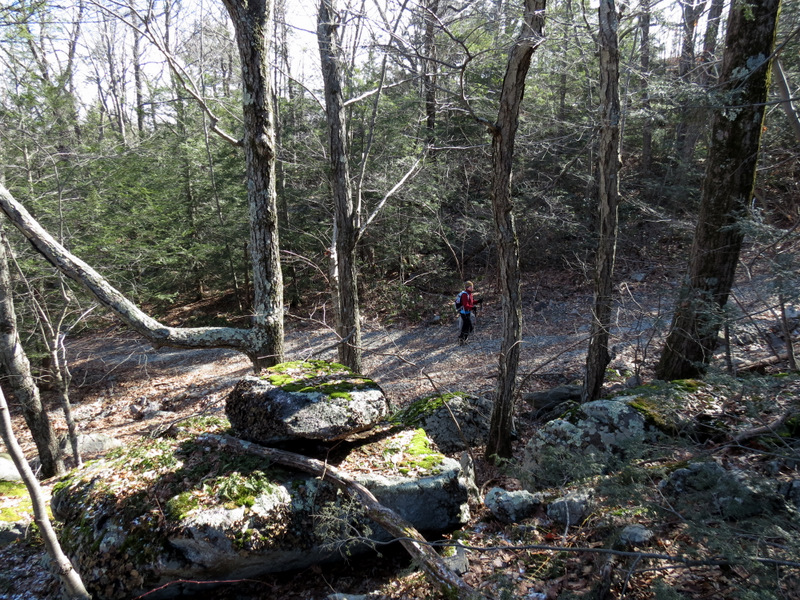
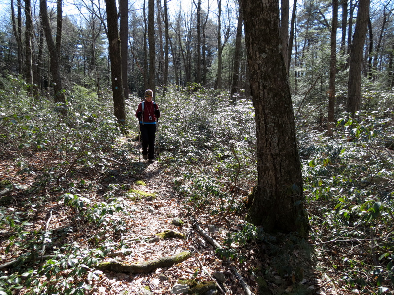
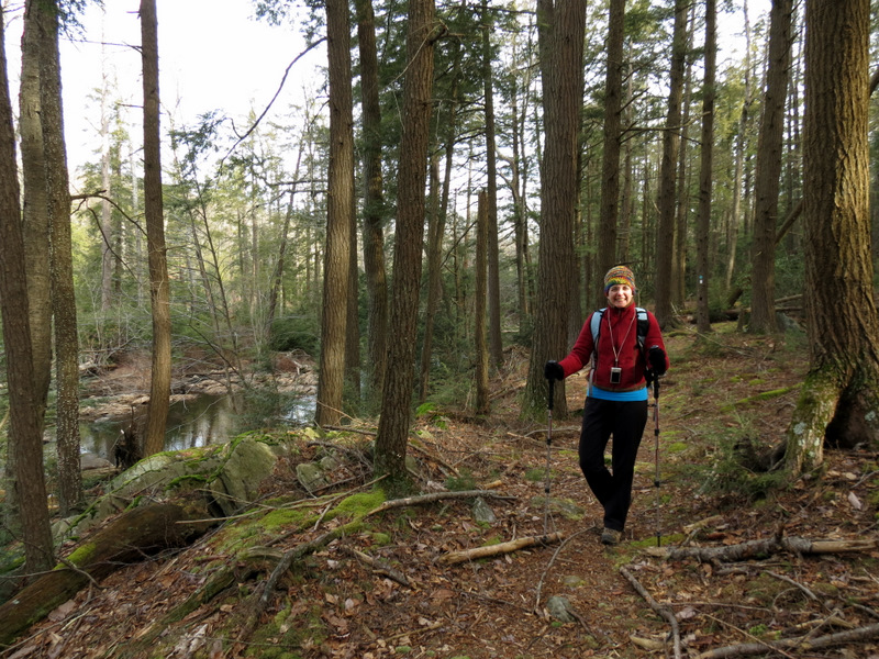 Trail parallels brook |
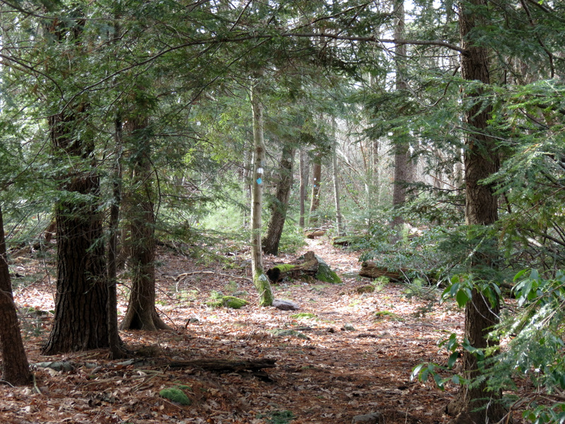
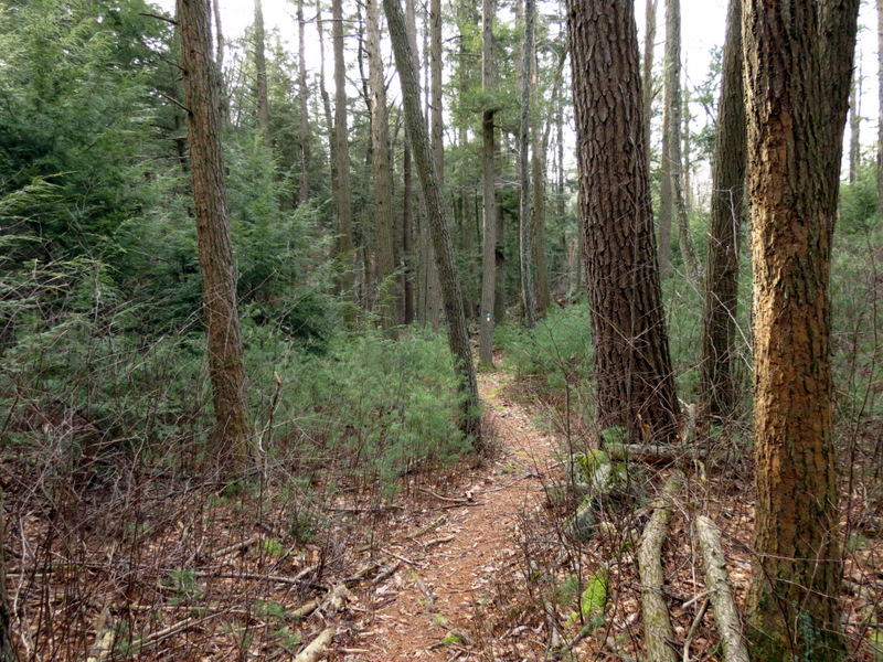 Pines |
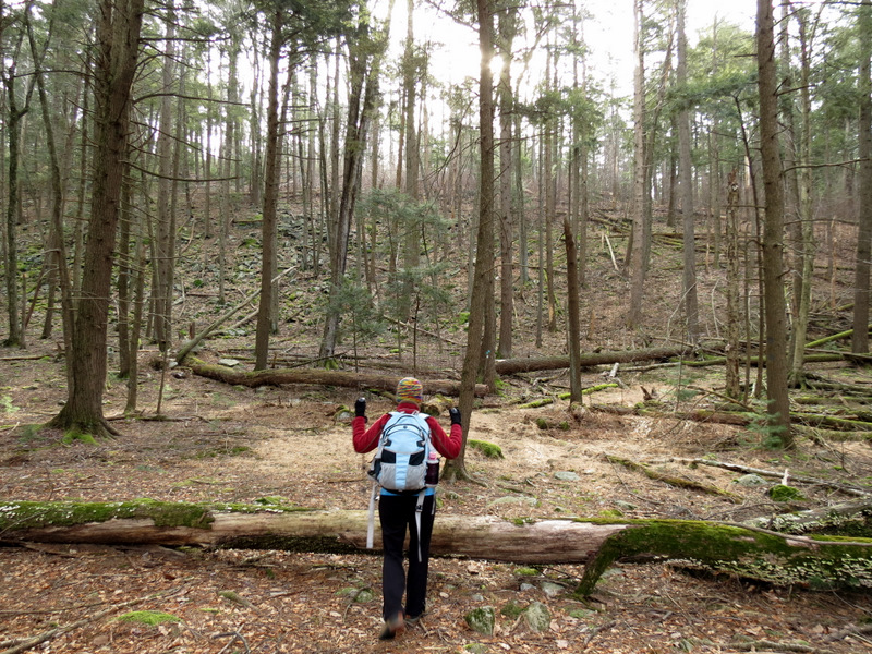 |
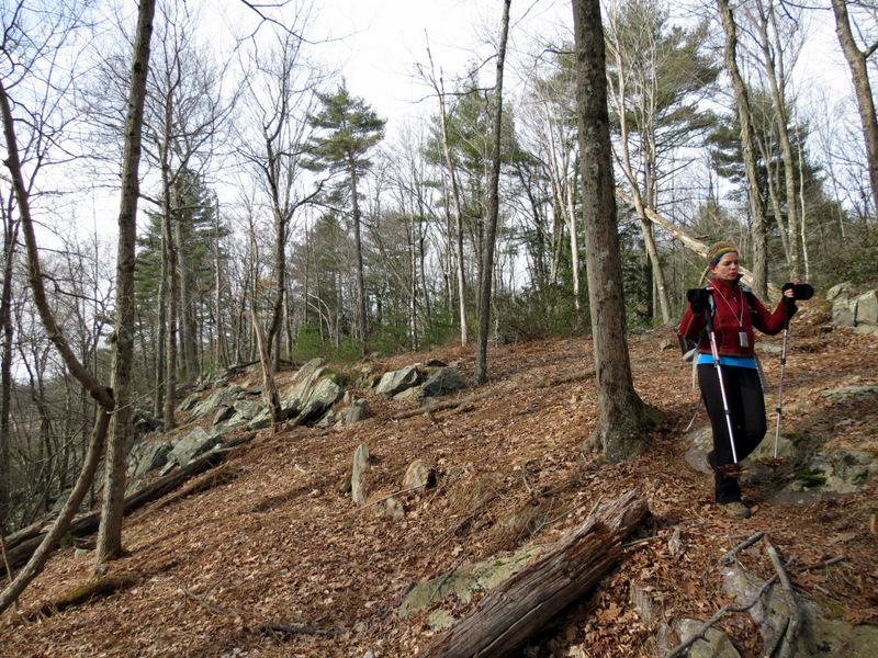
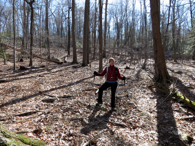
 Getting ready ... |
 ... to climb |
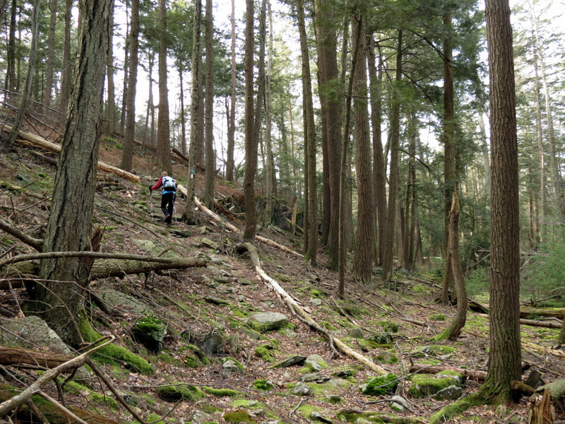
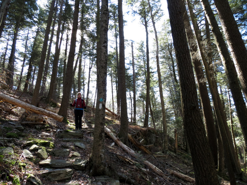
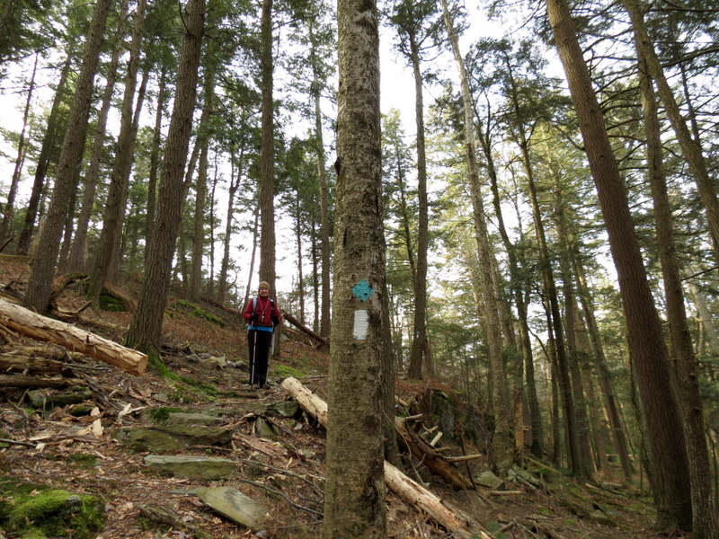 Beautiful pines |
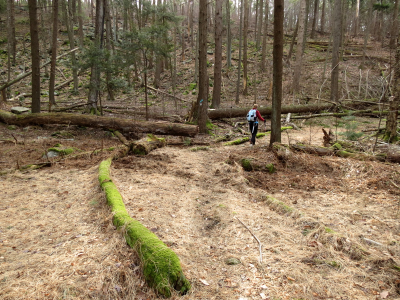
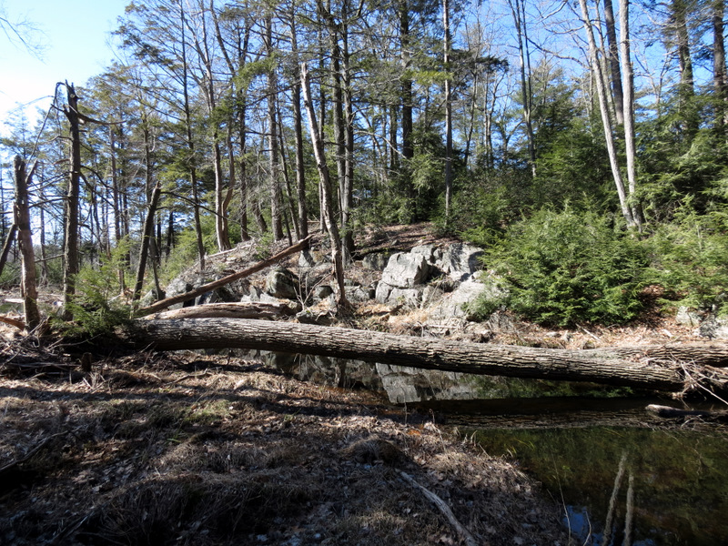
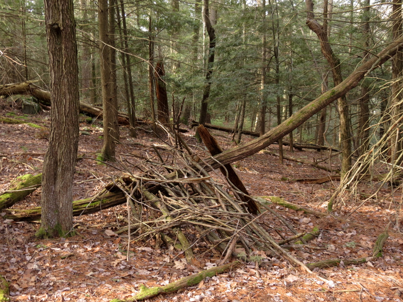 Lean-to |
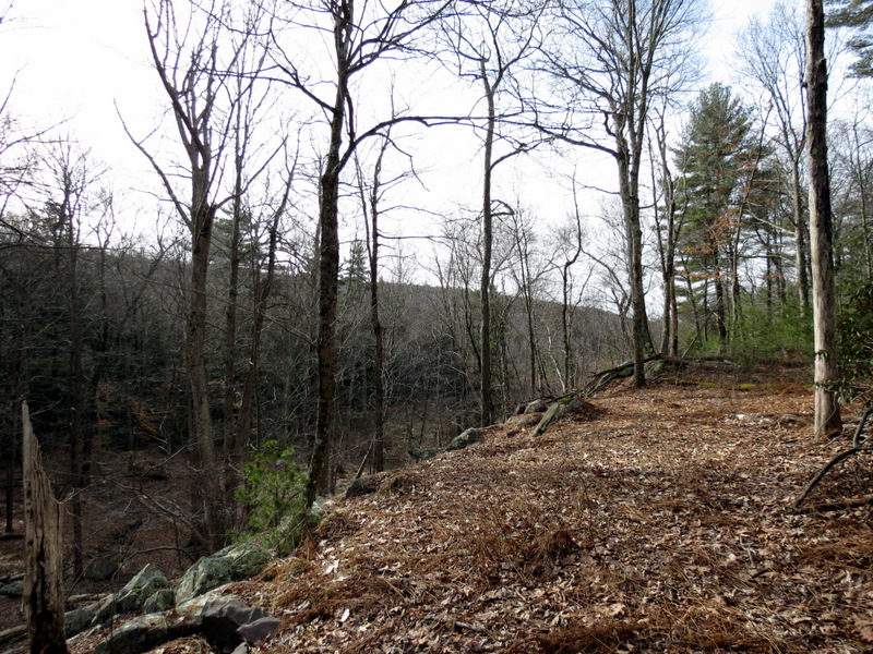
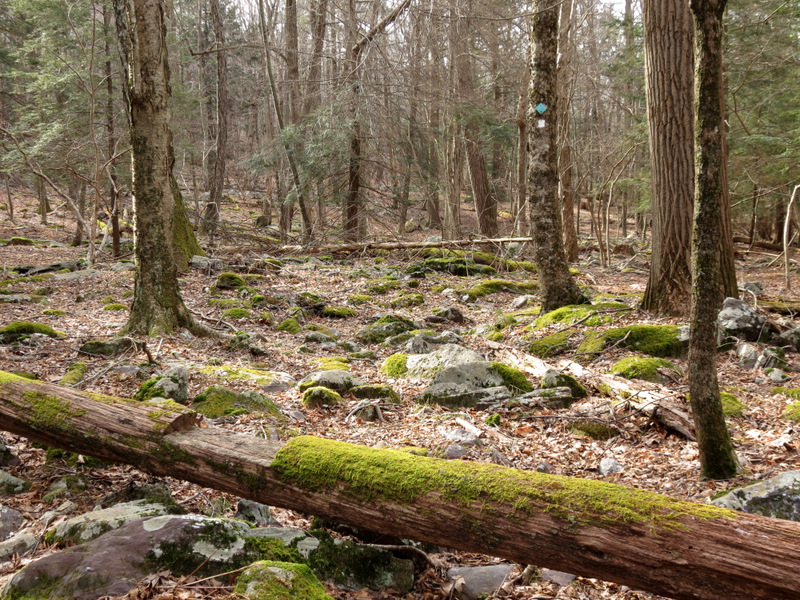
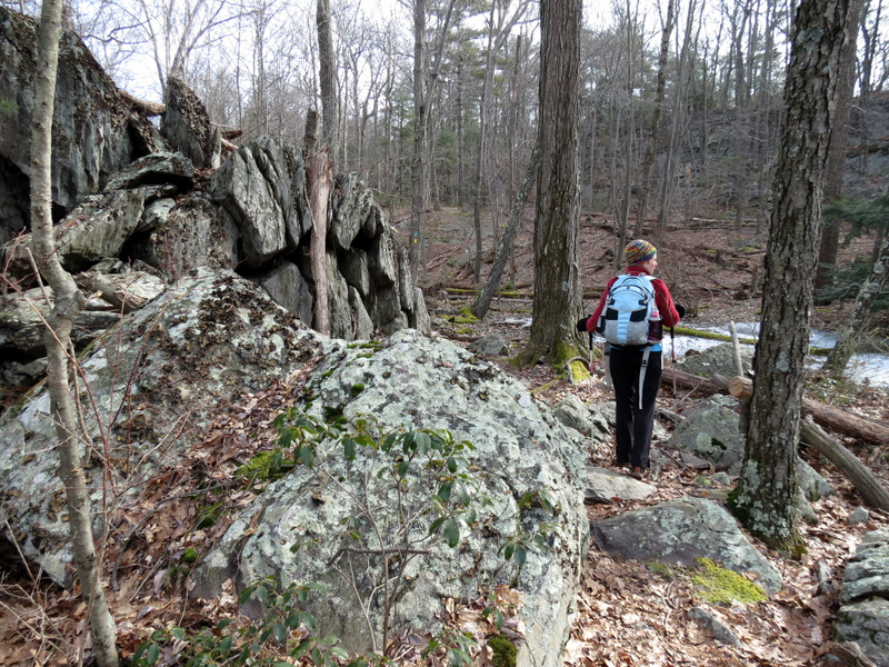
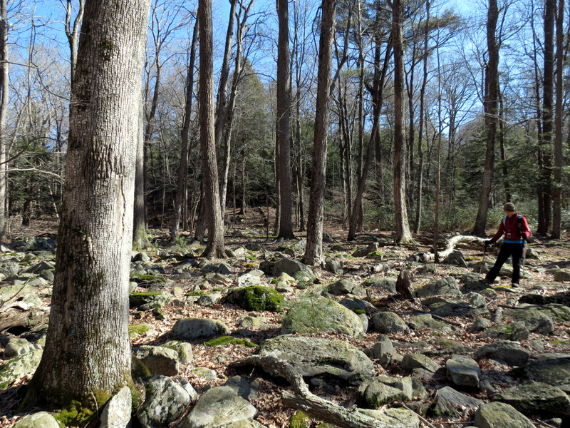
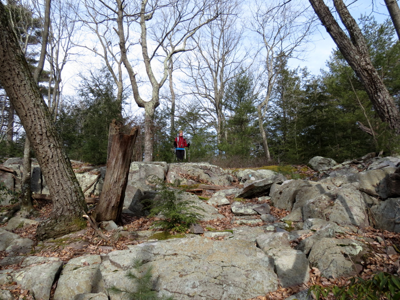 First ridge |
 [Photo by Laura] |
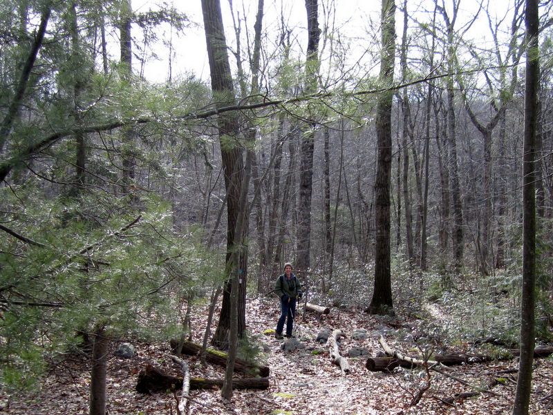
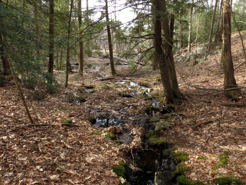
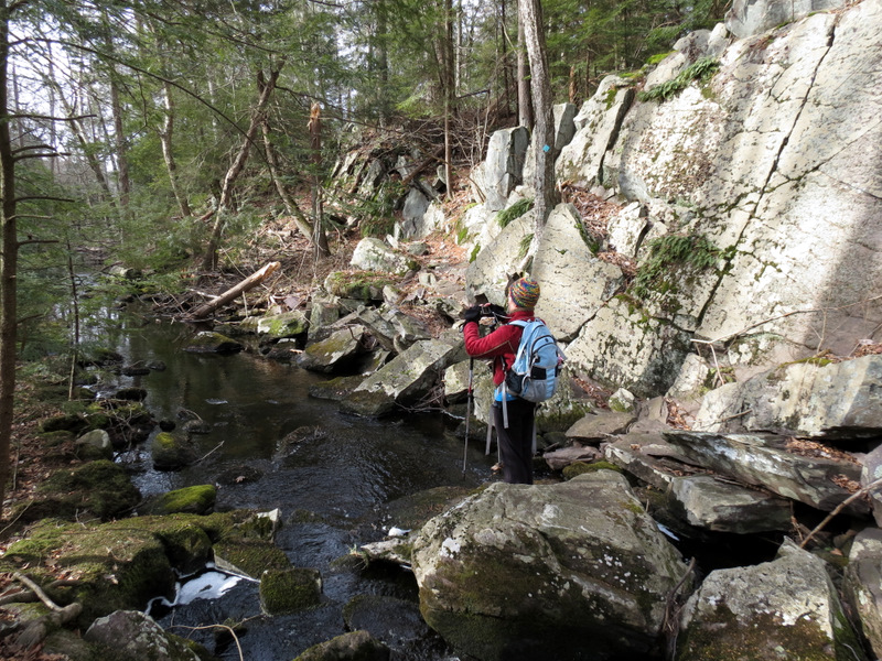
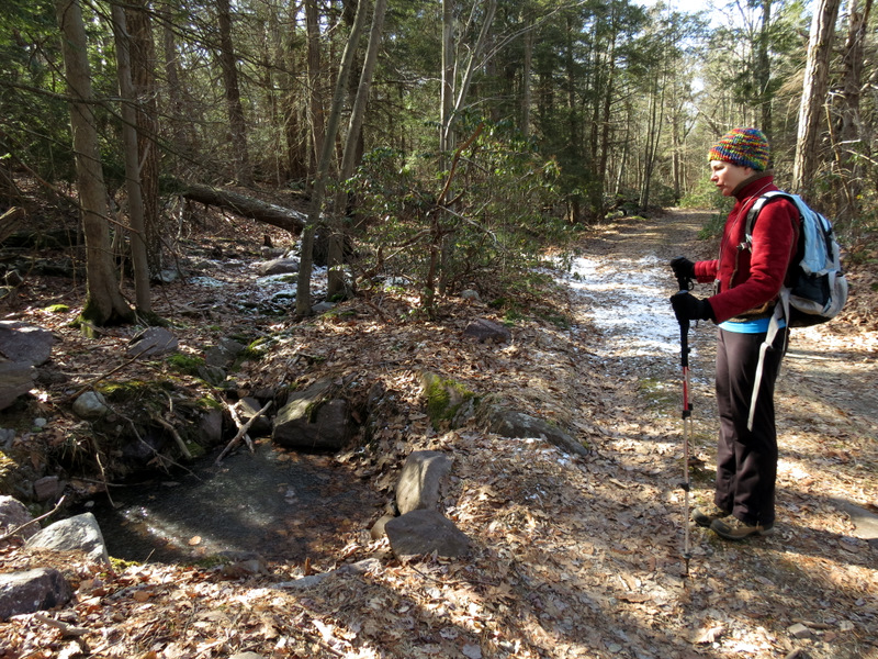
 Trail parallels Cedar Brook |
 [Photo by Laura] |
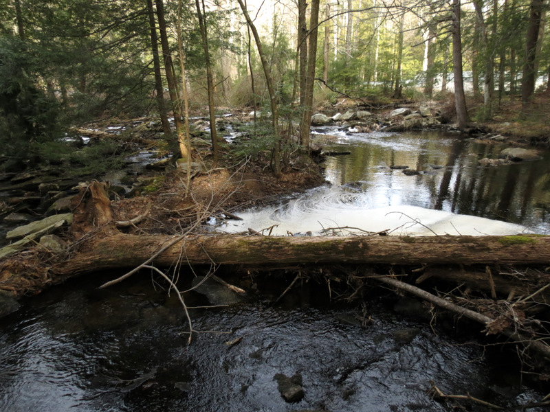
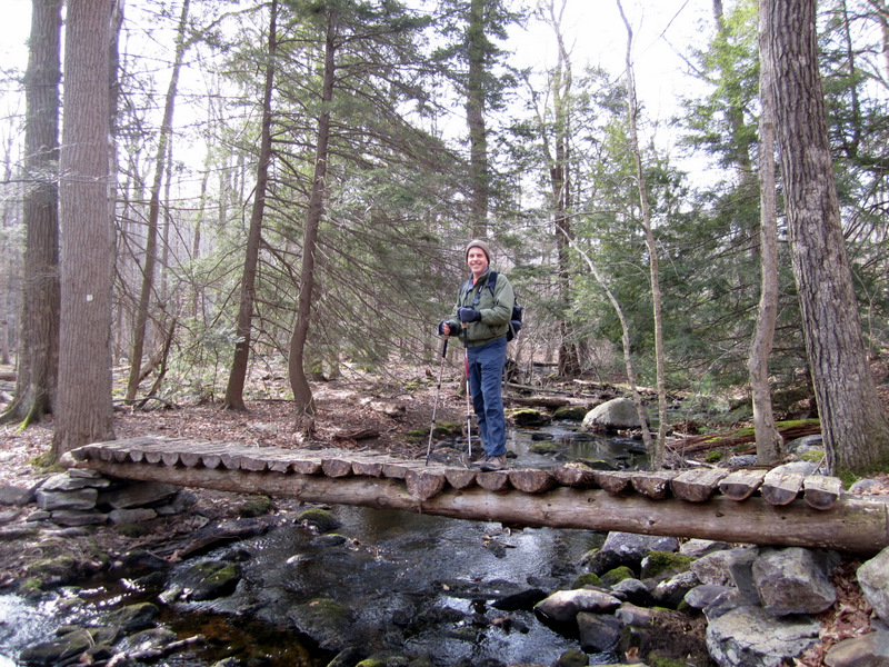
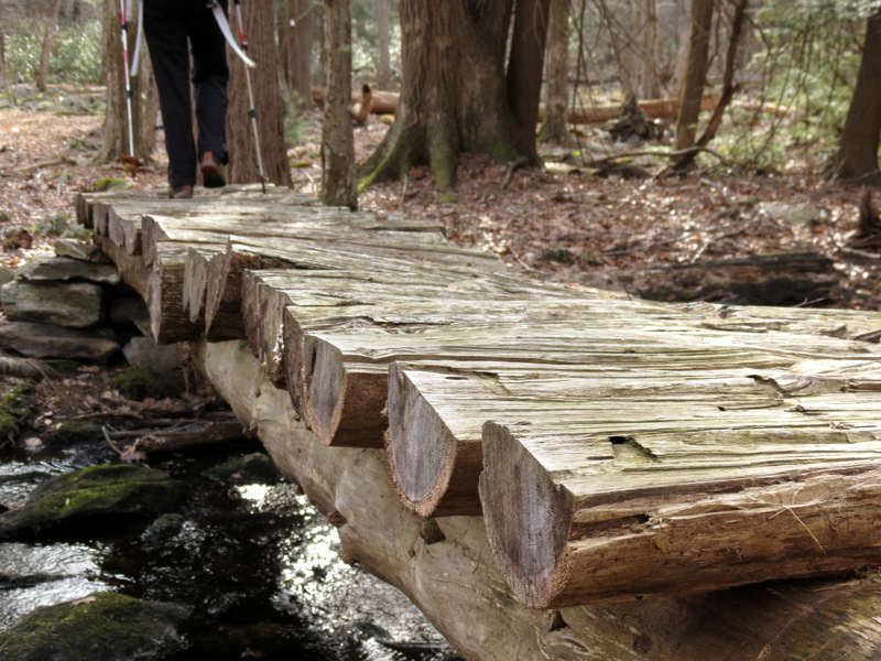 Awesome log bridge ... |
 ... over Cedar Brook |
 |
 |
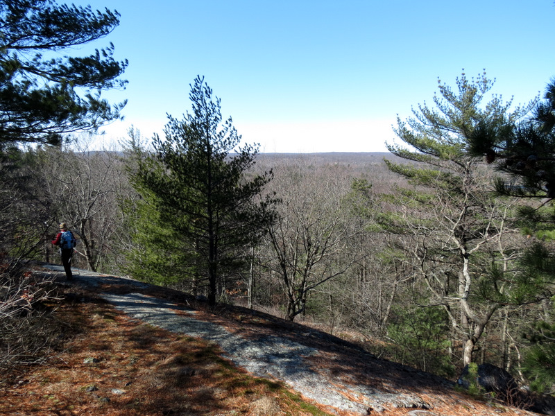
 Partial views south |
 Descending again |
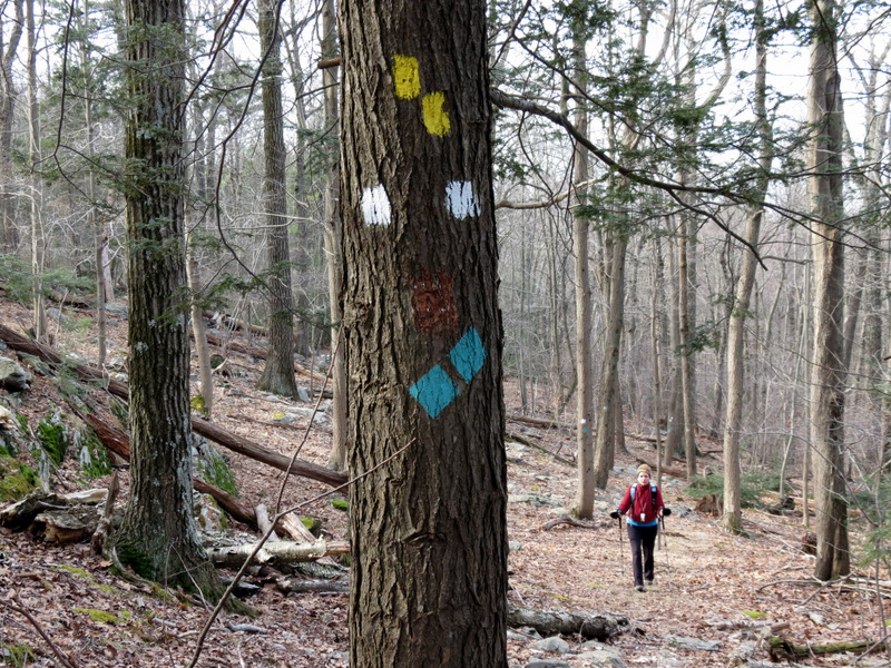
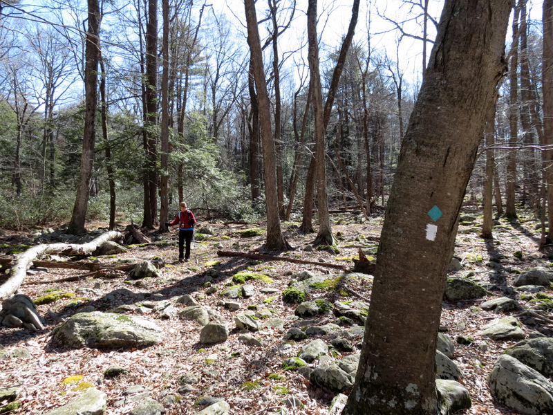
 Highlands trail co-aligns |
 |
 |
 |
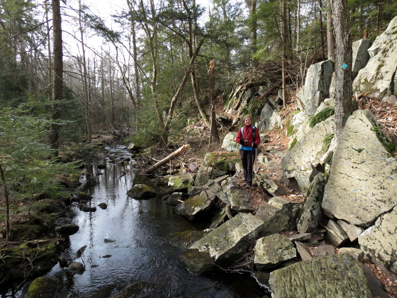 Trail parallels Clinton Brook |
 |
 On narrow re-routed path |
 [Photo by Laura] |
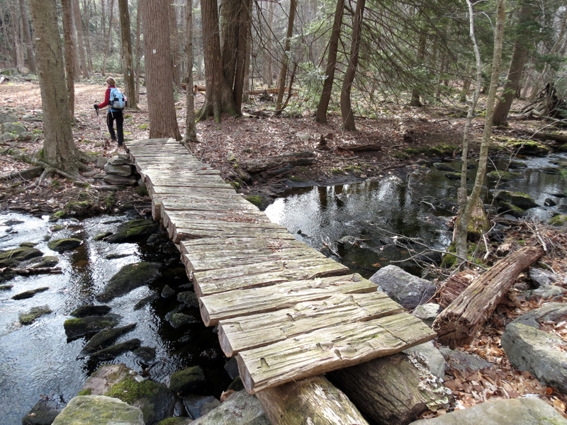
 Crosses brook on huge rock |
 |
 |
 End of Two Brooks trail |
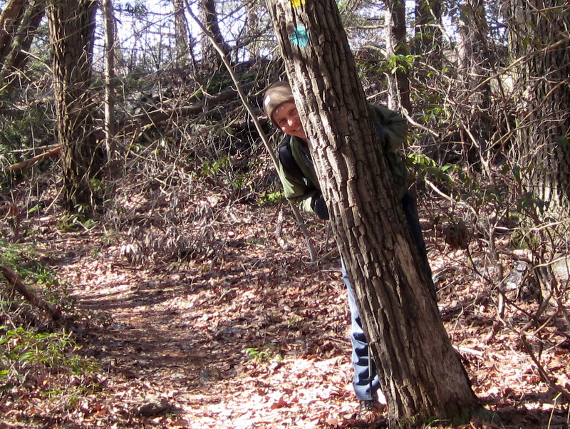
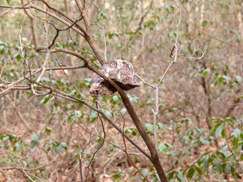 What the? |
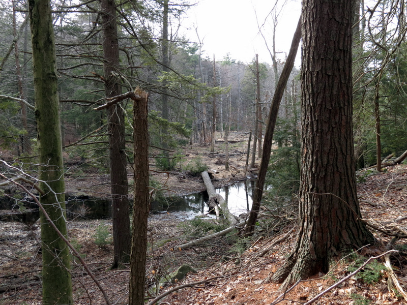
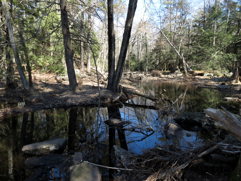
 Swamp on Yellow |
 |
 On the final ridge |
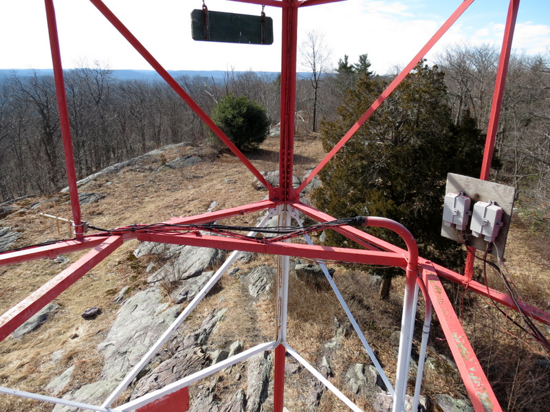
 View of fire tower and fireplace |
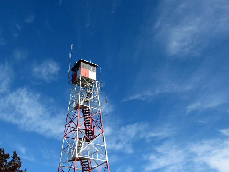 |
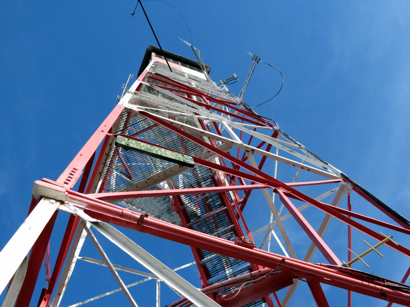 Photo from below |
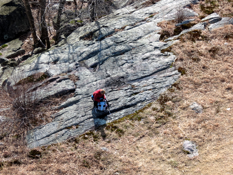
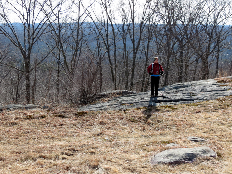
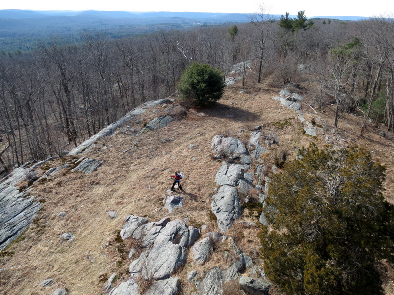 See Laura? |
 Laura way down below! |
 Wind vane |
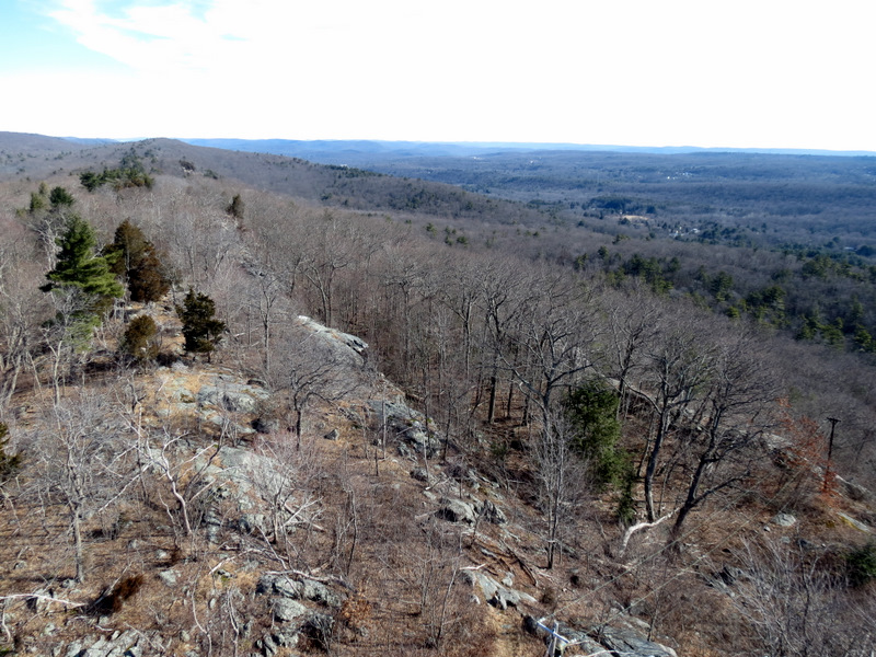 View north |
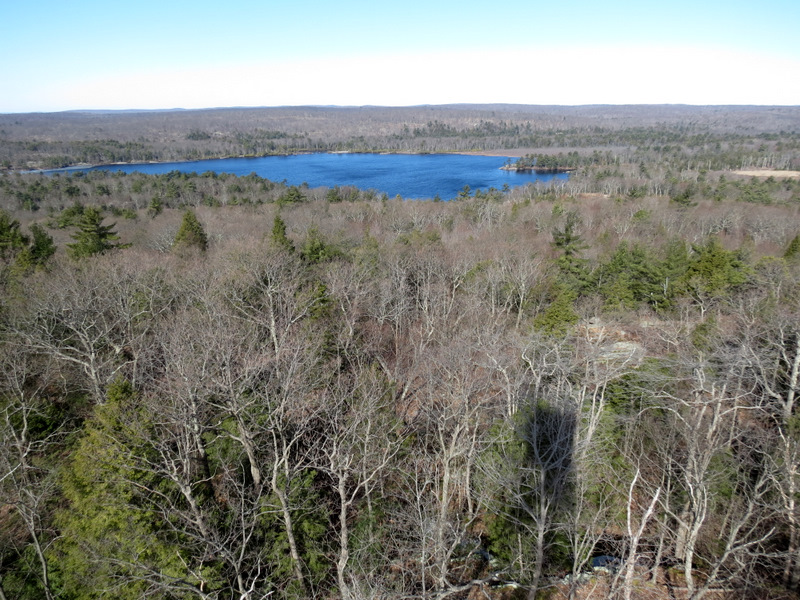 Cedar Pond |
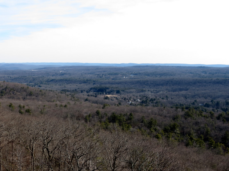
 View south |
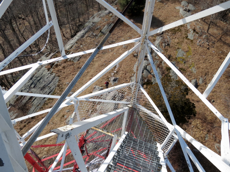 Can you find Laura? |
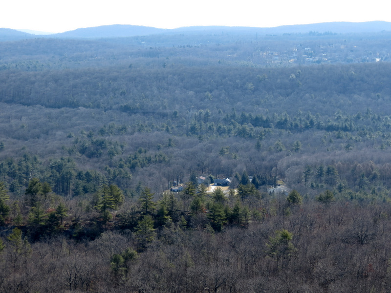 View east |
 View NE |
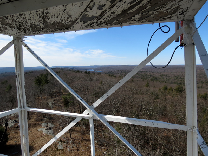
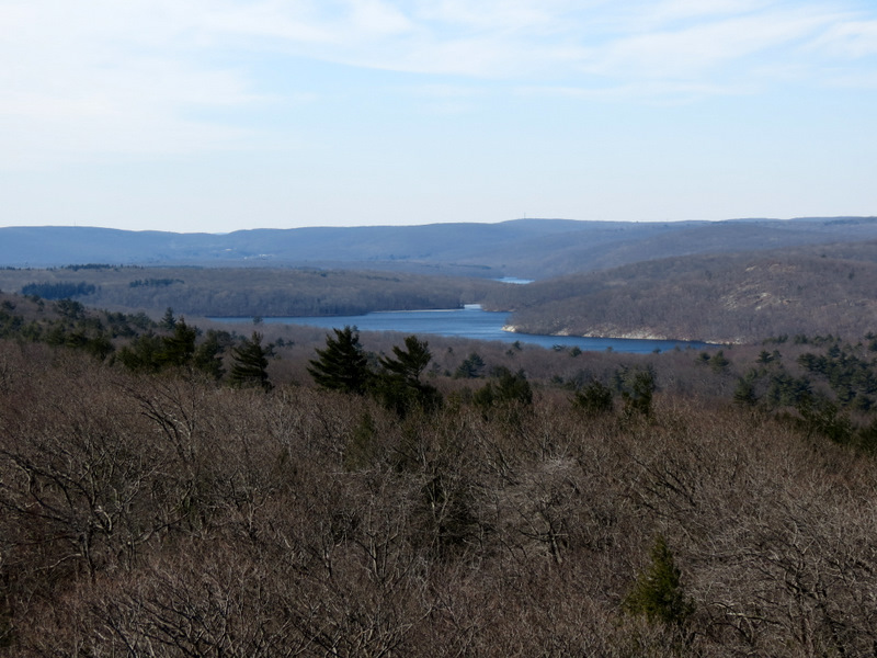 View south to Clinton Reservoir |
 Mountain gap far south |
 Laura checking her iPhone ... |
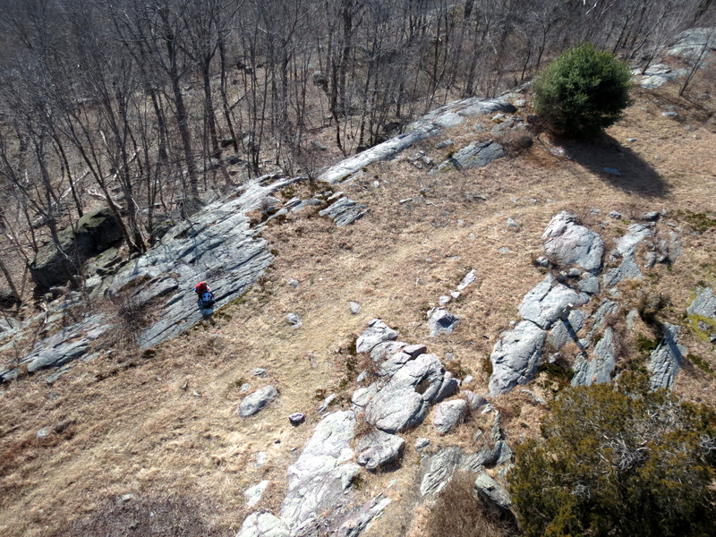 ... far below |
 |
 |
 Back to earth |
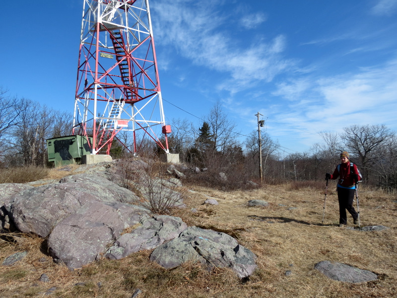 |
 Fire tower looms over us |
 View north on Yellow |
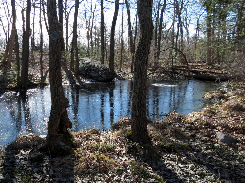
 Frozen water hole |
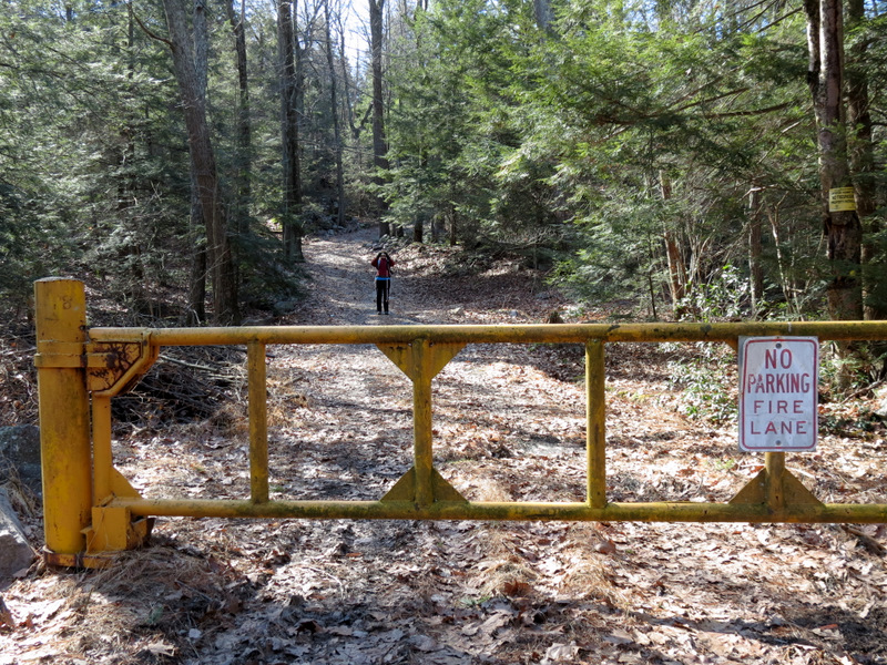
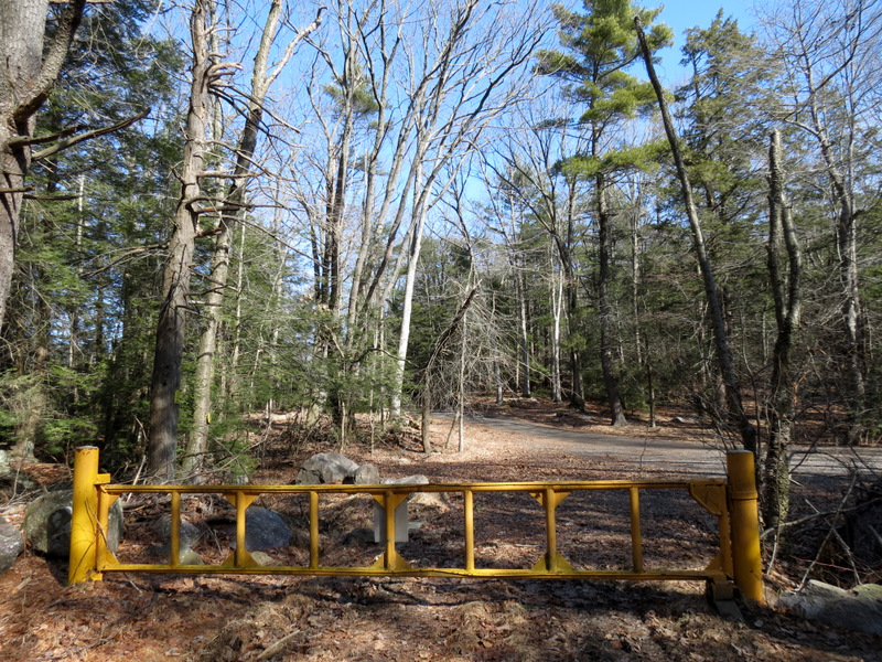 Gate on Stephens Road |
 View south from Stephens Road |
 Laura below on Yellow |
 Swamp off trail |
 Cedar Pond from Yellow |
 Heading south on the ridge |
 [Photo by Laura] |
 Highlands blaze |
 |
 Back to Clinton Brook |
 I crossed on old trail |
 |
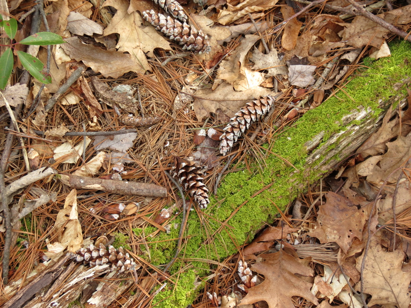
 Mountain Laurel |
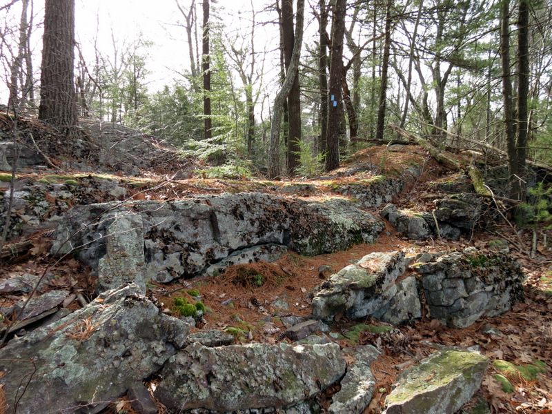
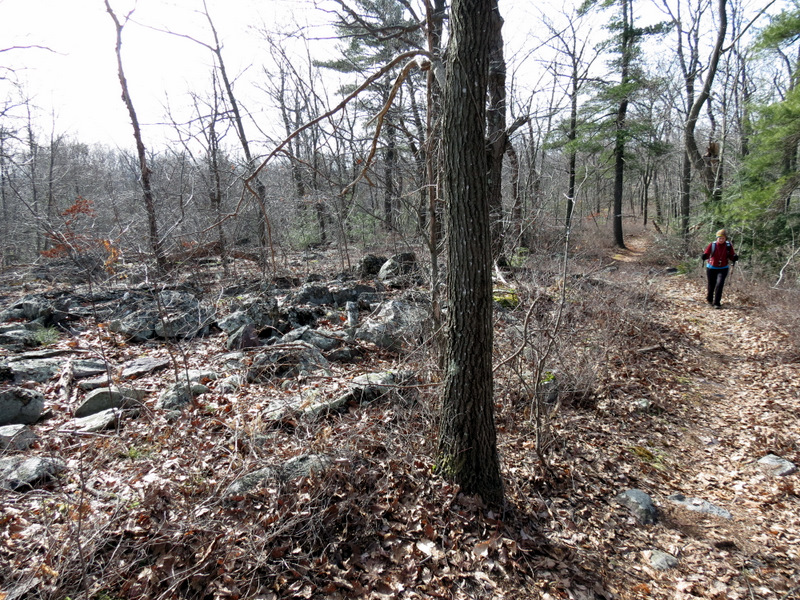
 Rocky jumble ... |
 ... on Two Brooks trail |
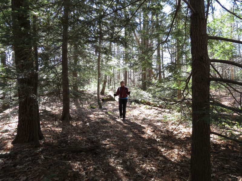
 Now descending the ridge |
 Dwarfed by pines |
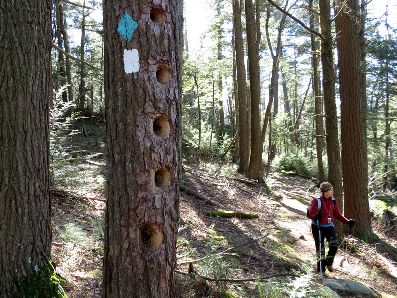 Woodpecker hotel |
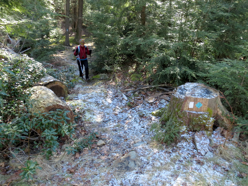 A bit of snow at trail head |
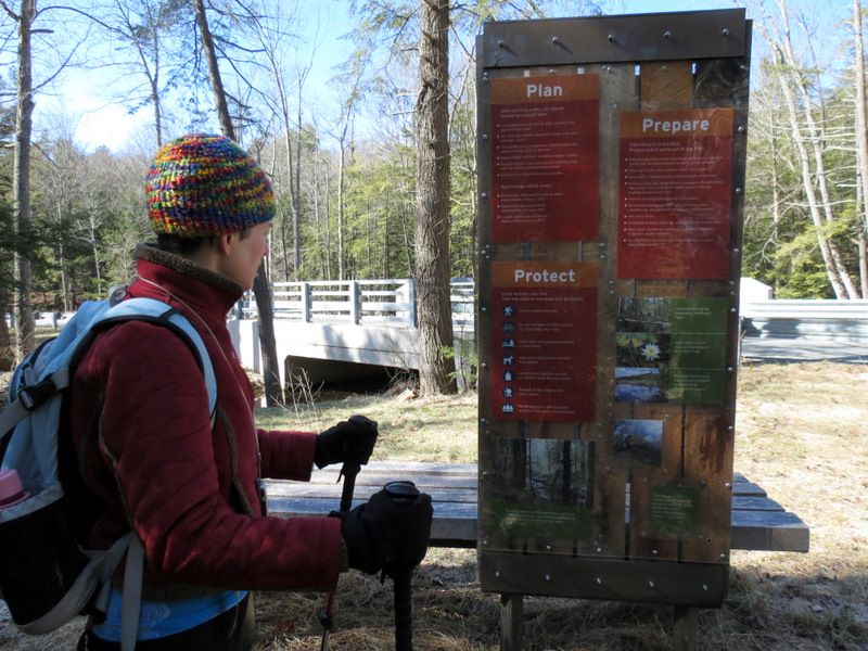 More info on back |
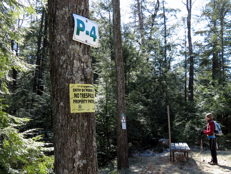 Sign for P-4 |

|
|
Photographs and content copyright © Dan Balogh Web design by Dan Balogh |