 |
|
Since Hurricane Sandy, we've been hiking lots of sections of the Delaware & Raritan Canal which, while damaged to a great degree in many places, has been open in its
entirety for quite some time. Adjacent to the canal near Blackwells Mills is this beautiful reserve, which we hiked way back in
2006. Coincidentally, this park has also been open since Sandy. So off we headed today for a re-look.
Back in 2006, we were following a description in a book that started at Canal Road and headed east on Red, crossing the Six Mile Run and then headed back west on Blue.
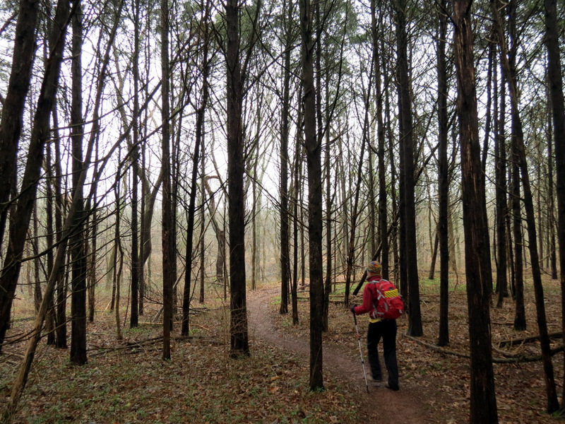
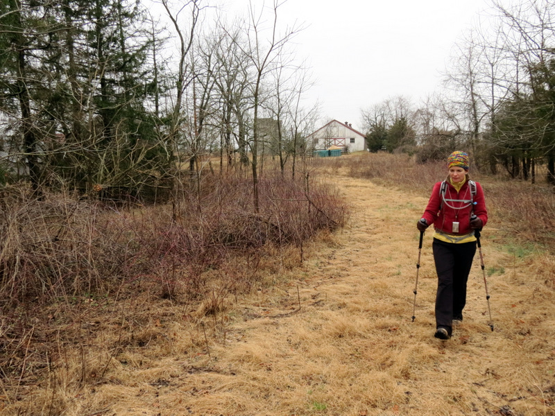
Today we started on Jacques Lane and, using this JORBA map, we did a
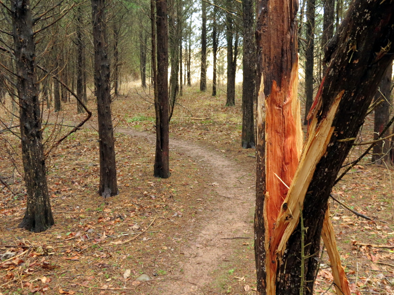
completely different set of trails, many of which probably didn't even exist seven years ago.
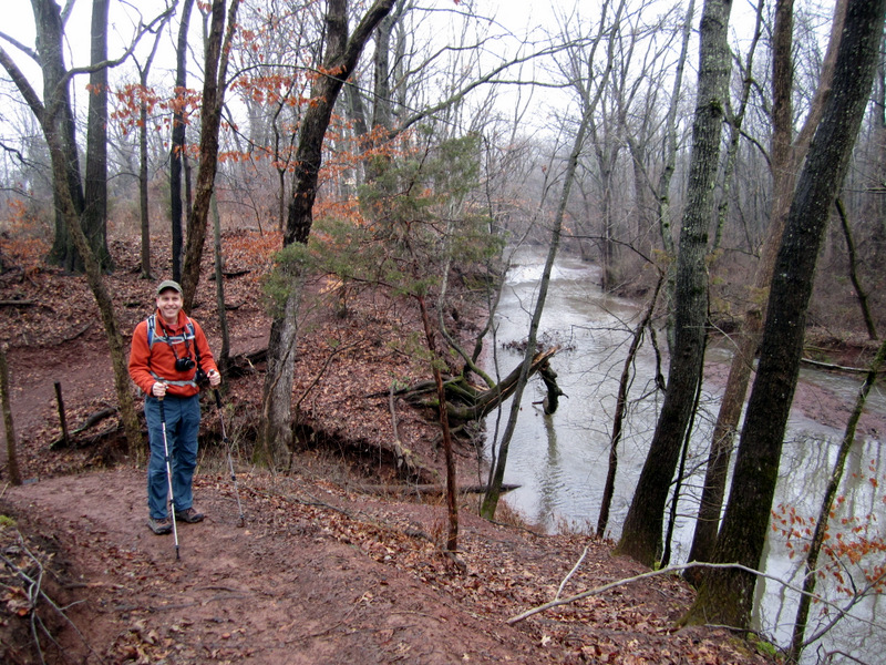
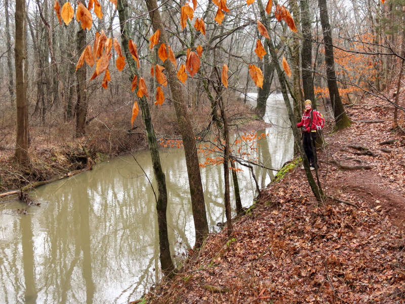
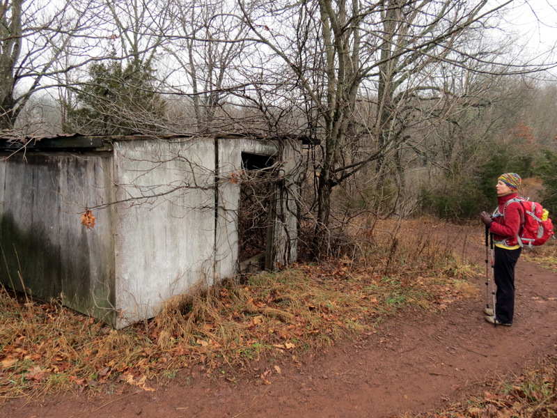
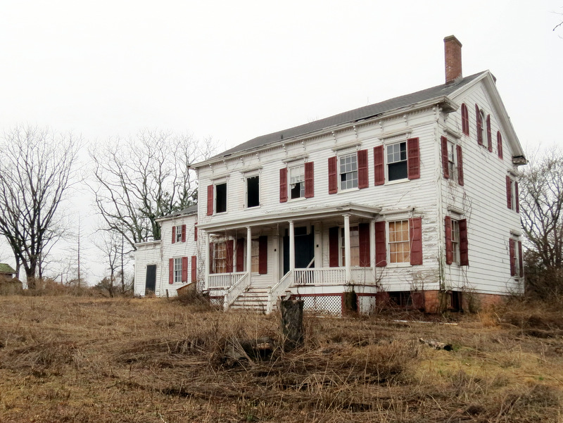
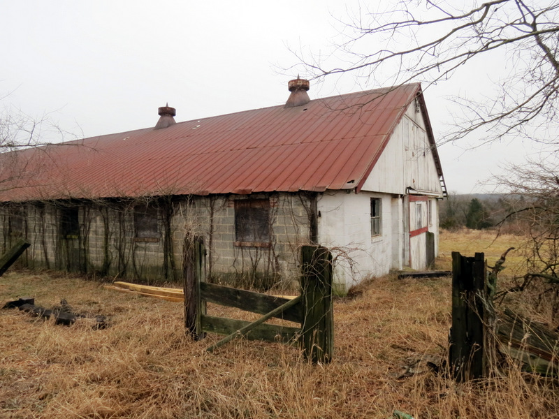
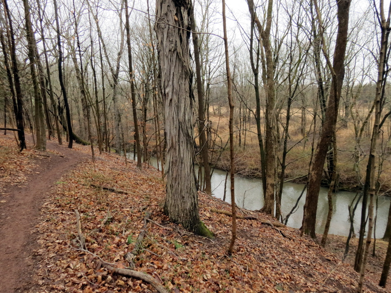
We first headed north on Red until we got to Six Mile Run and turned right (the trail wand at this point told us to head west, and we did for a bit, for a nice view from above of Six Mile Run, before continuing east). The stretch of Red heading east is beautiful, parallelling Six Mile Run from above. There are a small handful of informative signs along the way. We took Red all the way to the point marked "Concrete Bridge" on the map before heading back. But when we got to the abandoned farm where the trail crosses S. Middlebush Road, we went off-trail and explored a bit. It appears to have been inhabited within the last decade or so (there was a satellite dish on the main house) but now it's completely in disrepair. There are at least five buildings here, and two silos for good measure, with trees growing in each. It's clear that it's all been abandoned for some time, inherited by the park service. Back on Red we turned left on White and zig-zagged south, then west back to our car. All in all, it was a lovely hike. There were many many side paths, many of which seemed to be lanes between endelss lines of beautiful trees. Much of this area could have been an orchard. I've got some Googling to do! Total distance hiked today was 5.2 miles in almost exactly 3 hours.
|
 That's us |
 Wildflower |
 Large parking lot |
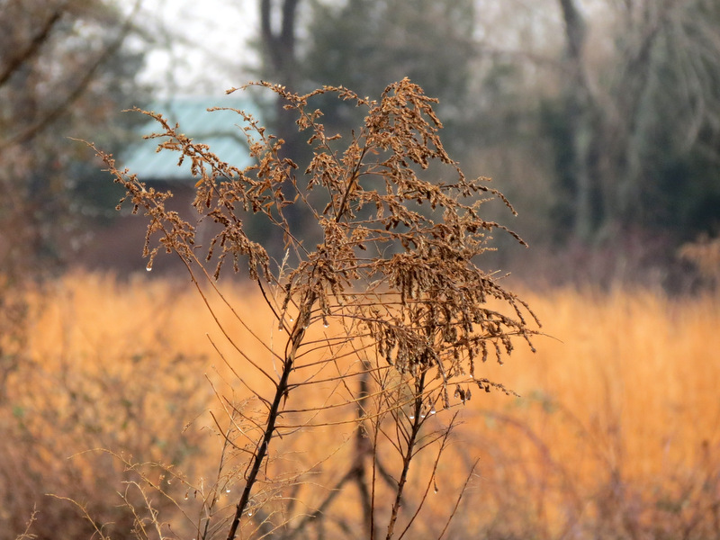
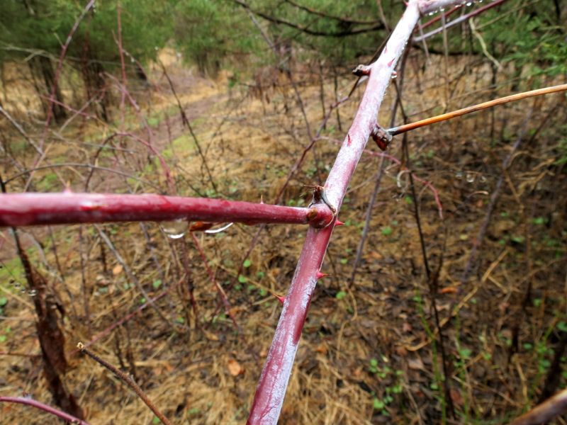
 Love that color! |
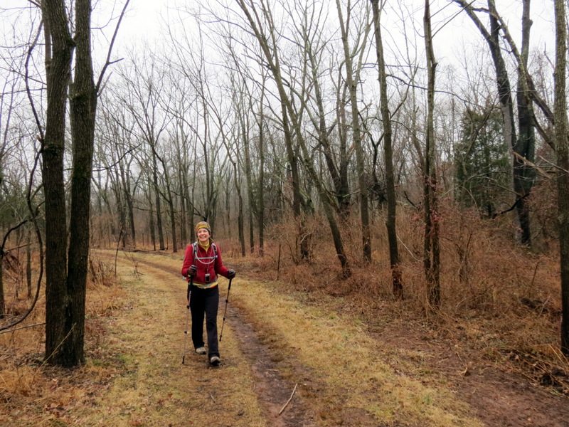
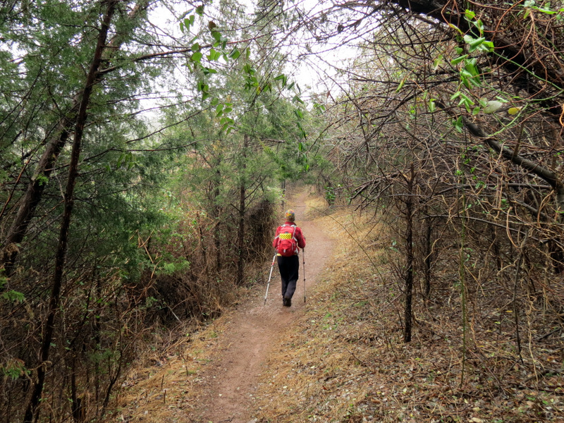
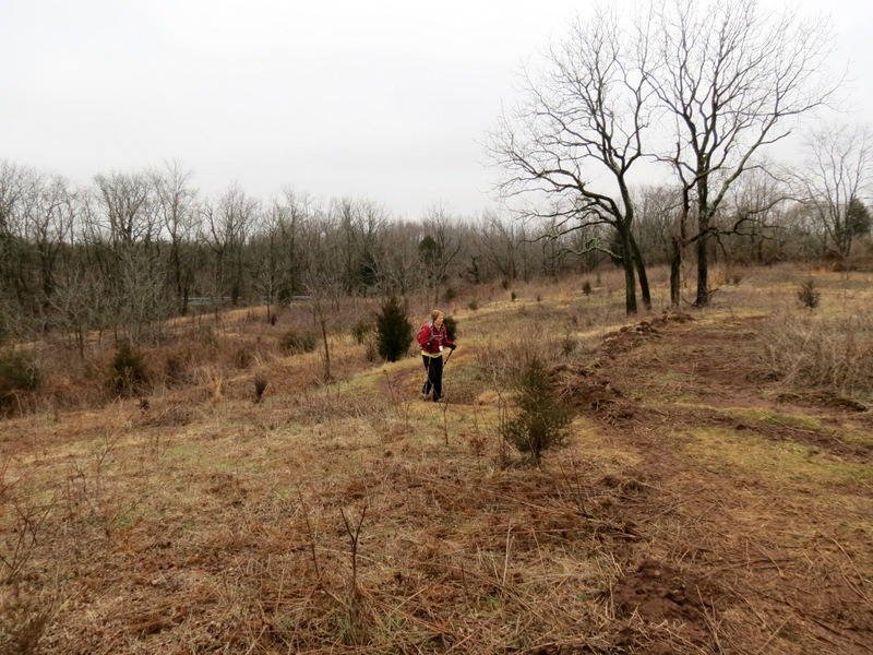
 Heading north |
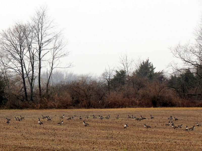 Field of Canada Geese |
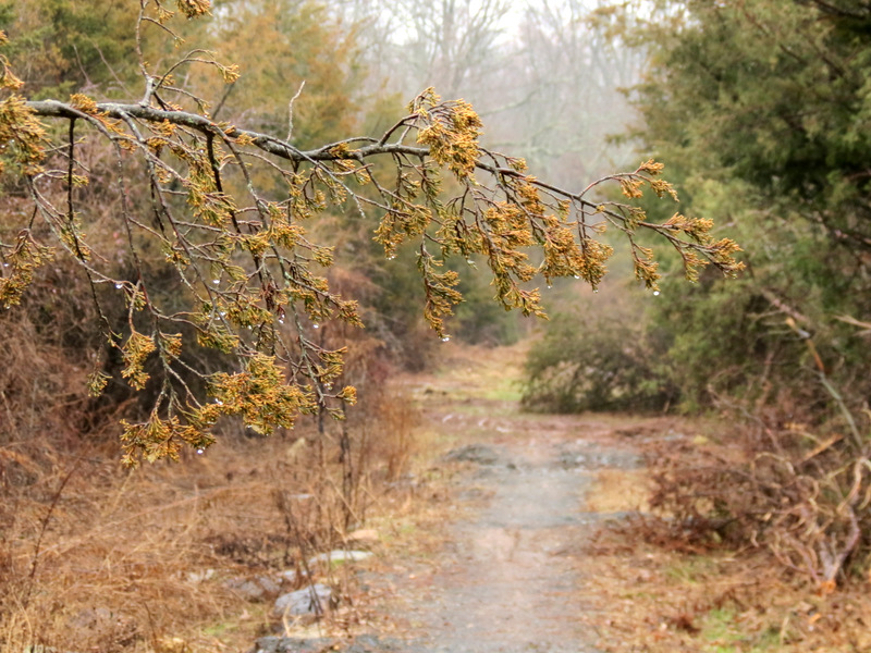
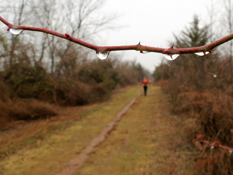 Fresh droplets |
 |
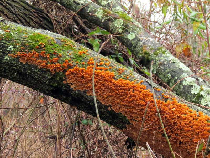 Striking lichen |
 Climbing |
 One type of blaze |
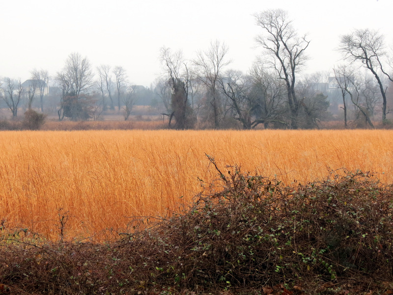
 Fog over farm field |
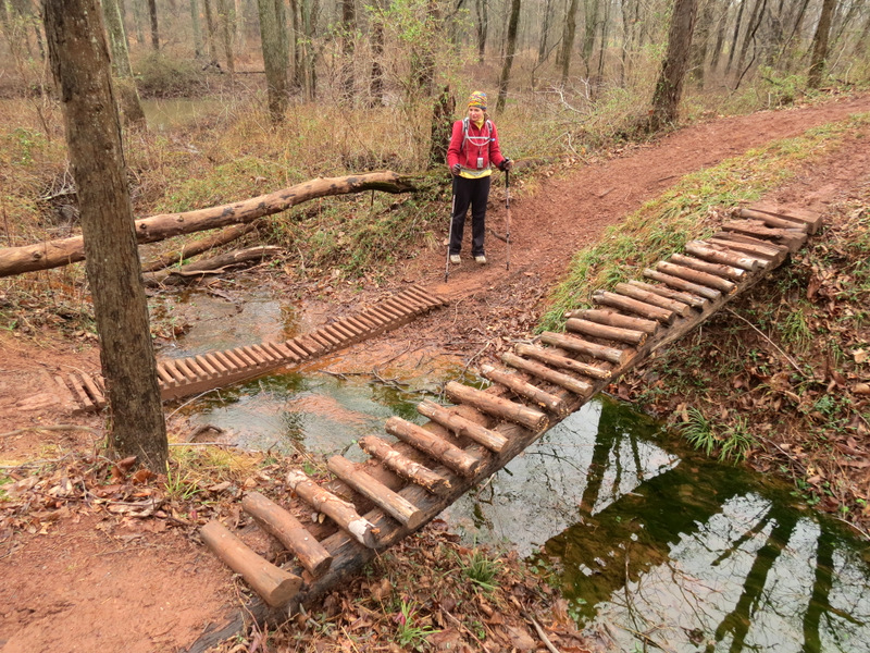
 JORBA obstacle |
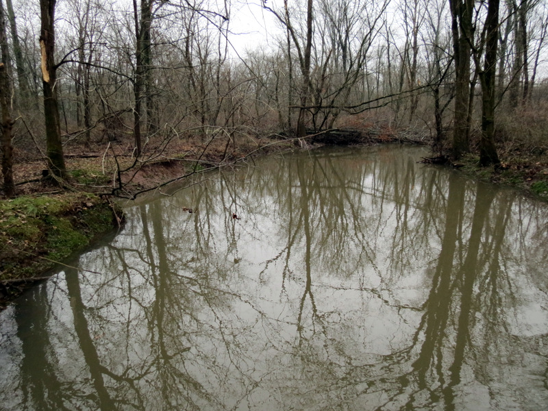
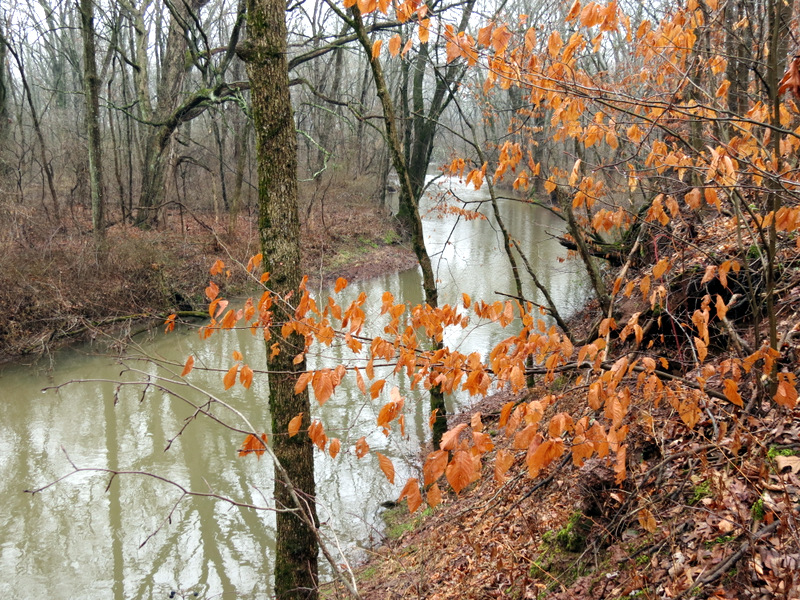 Six Mile Run |
 [Photo by Laura] |
 View east |
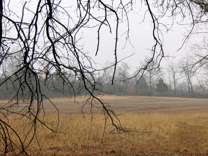 Open field |
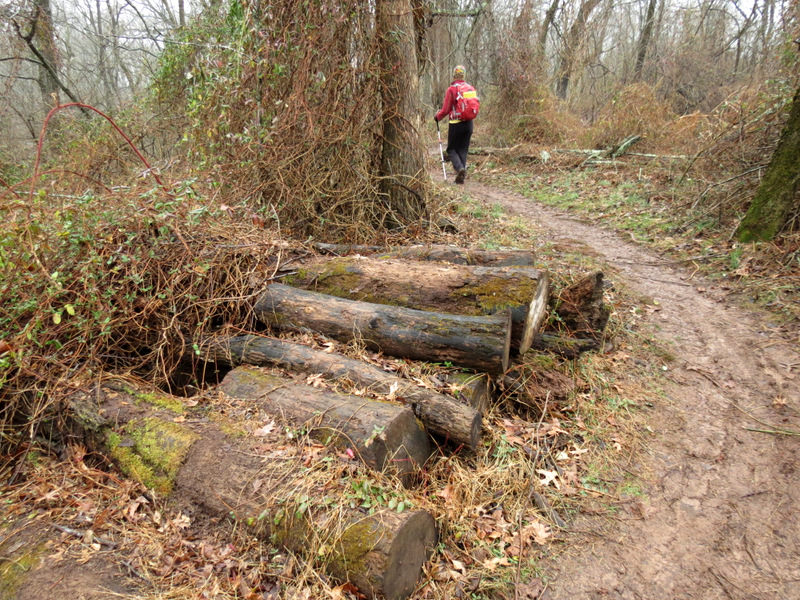 JORBA obsctacle |
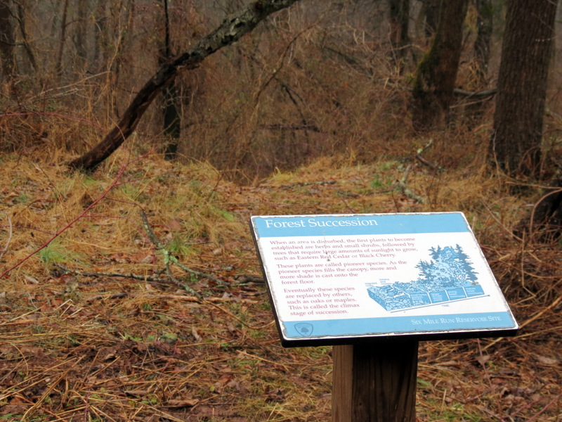 Information sign |
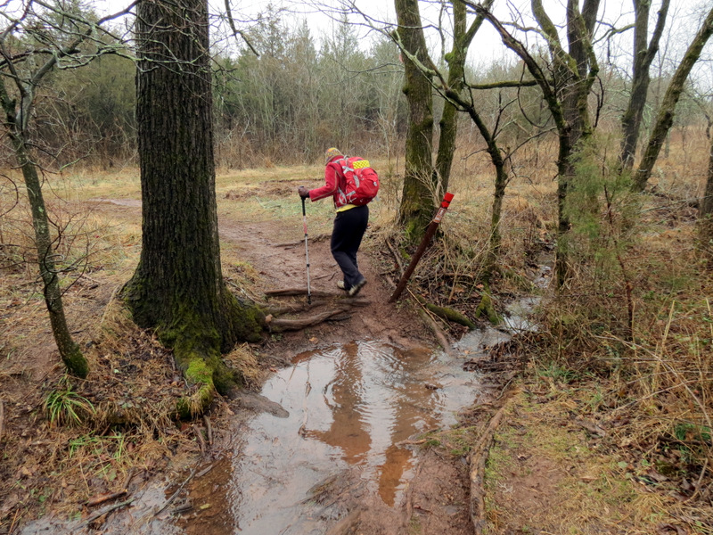 A bit wet |
 |
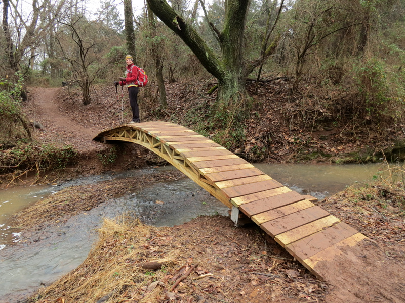
 Impressive bridge |
 And another |
 That's one neat bridge |
 [Photo by Laura] |
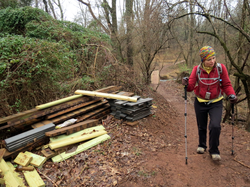 And JORBA isn't finished |
 Invasive species |
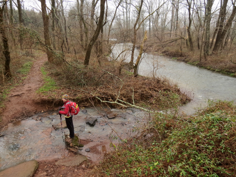 Six Mile Run |
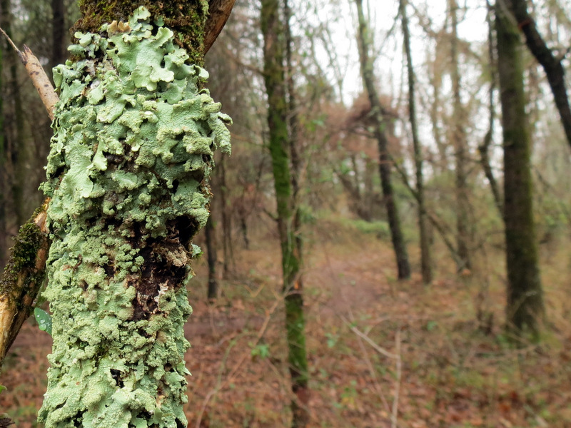 I'm likin' the lichen |
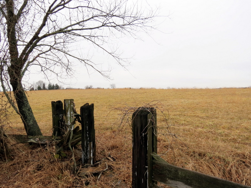
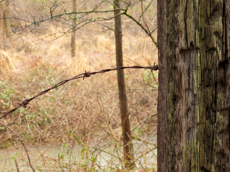 Old post & barbed wire |
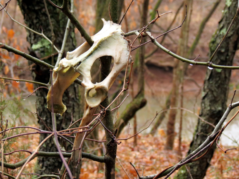 Sacrum bone? |
 Cedars |
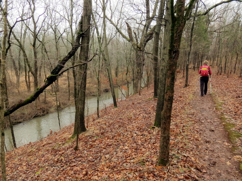 Paralleling the run |
 |
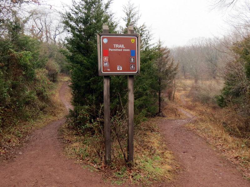 Intersection with Blue |
 Abandoned chicken house |
 Sandy damange west of S.Middlebush Rd |
 |
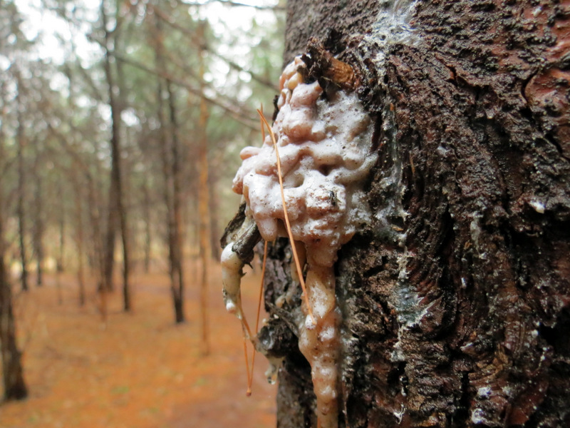 Sap |
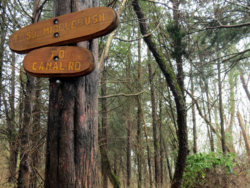 Nice trail signs |
 |
 Two bridges |
 Cones |
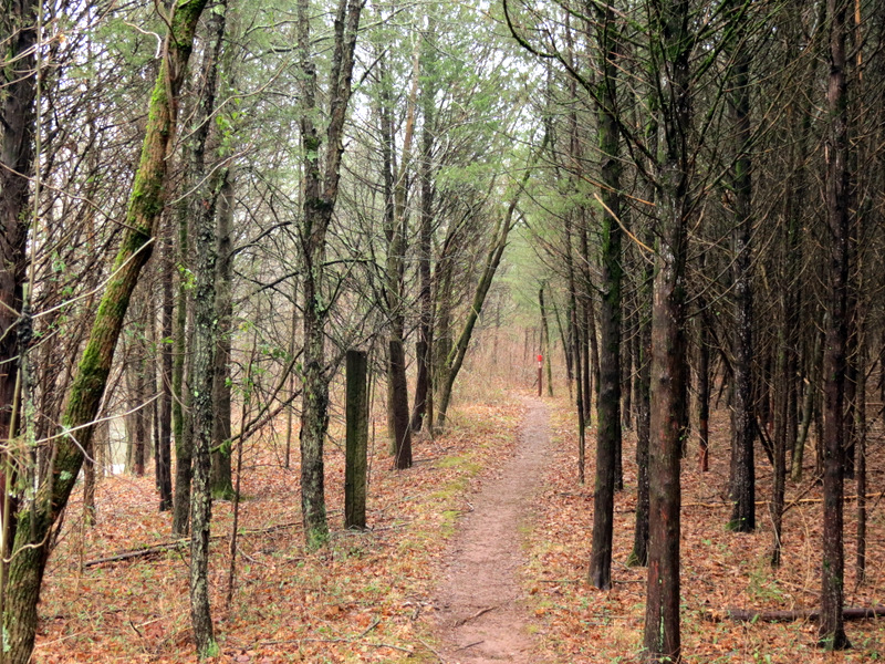
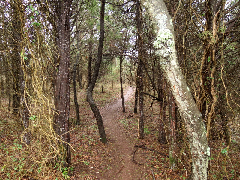
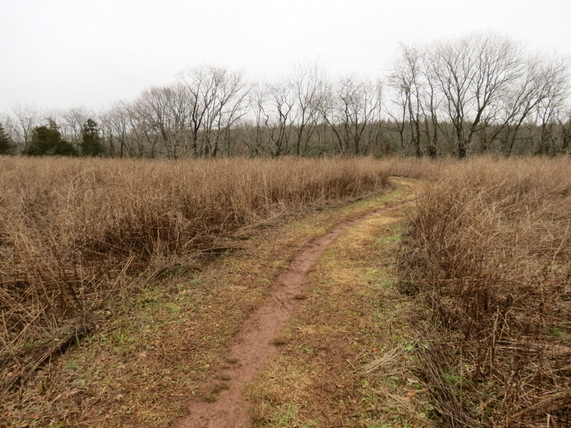
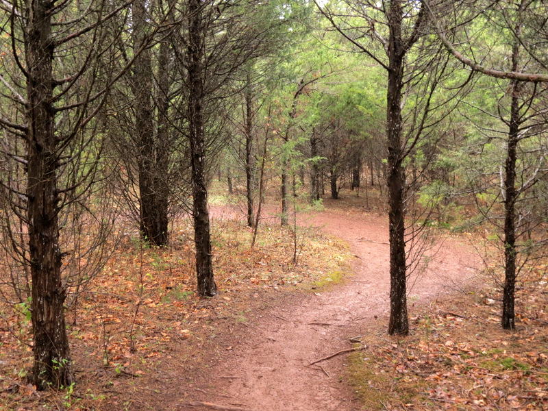 Beautiful path |
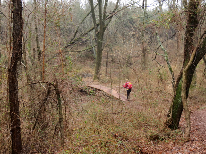
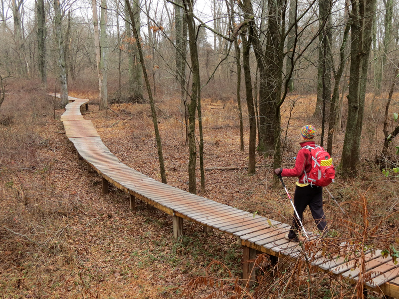 Long boardwalk |
 Six Mile Run at ... |
 ... Concrete bridge |
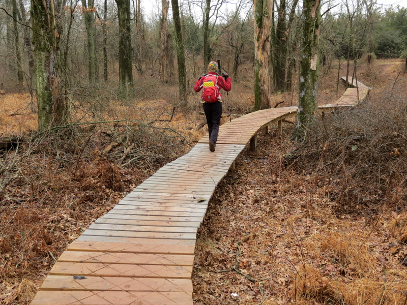 Back on boardwalk |
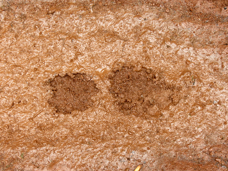 Muddy boot print |
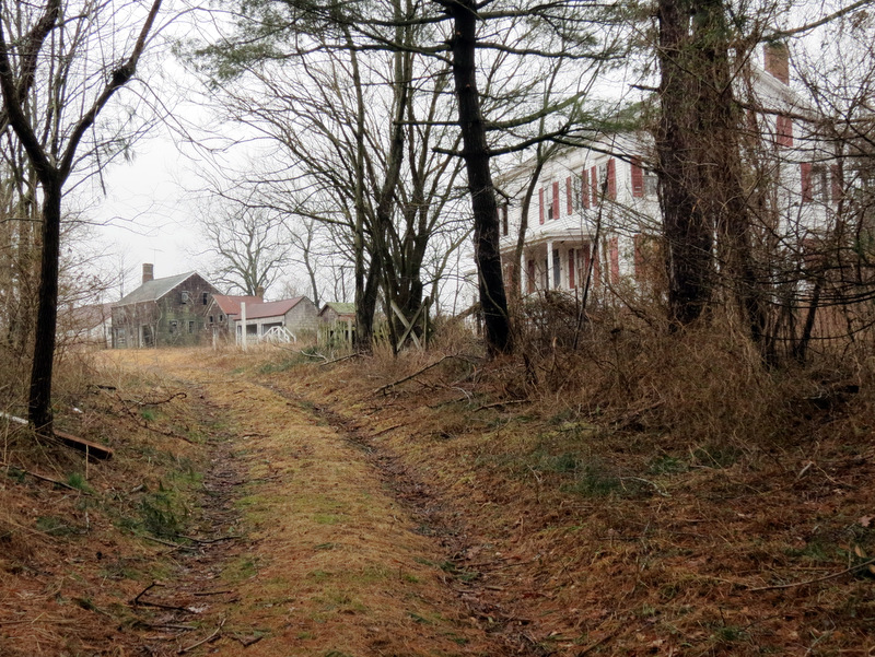 Driveway to ... |
 ... abandoned farmstead |
 Curtain still hangs |
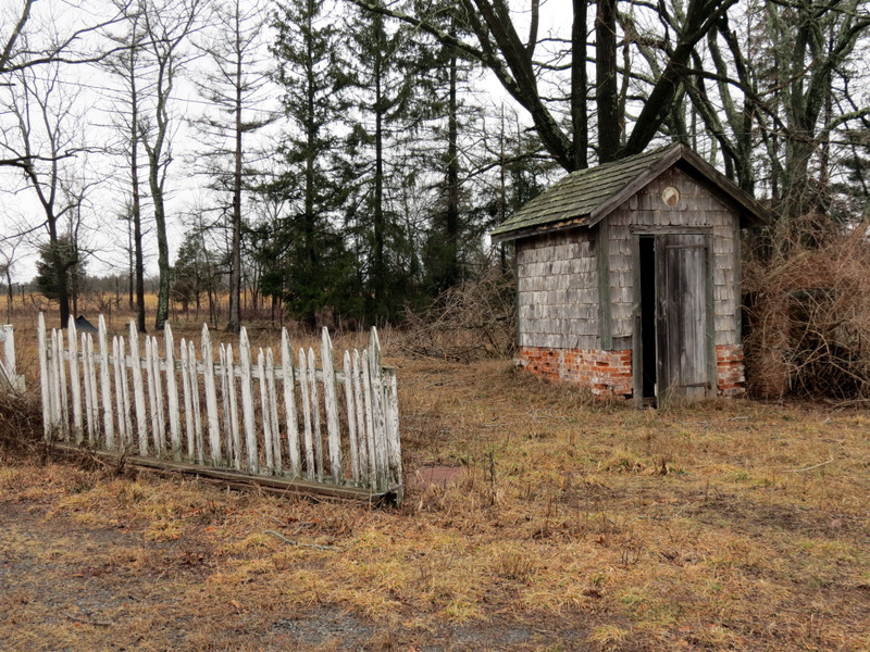 Picket fence and shed |
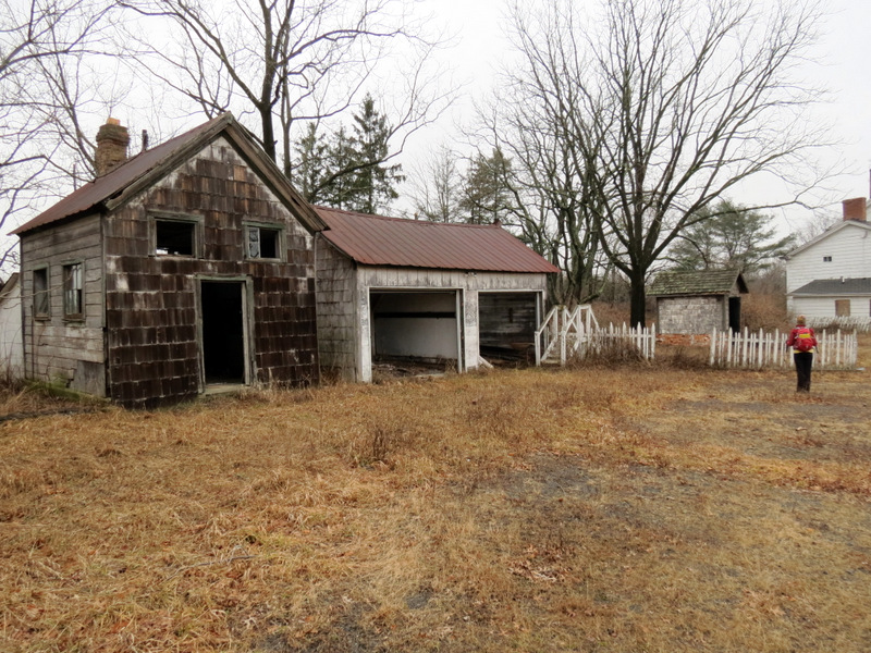 Small house and garage |
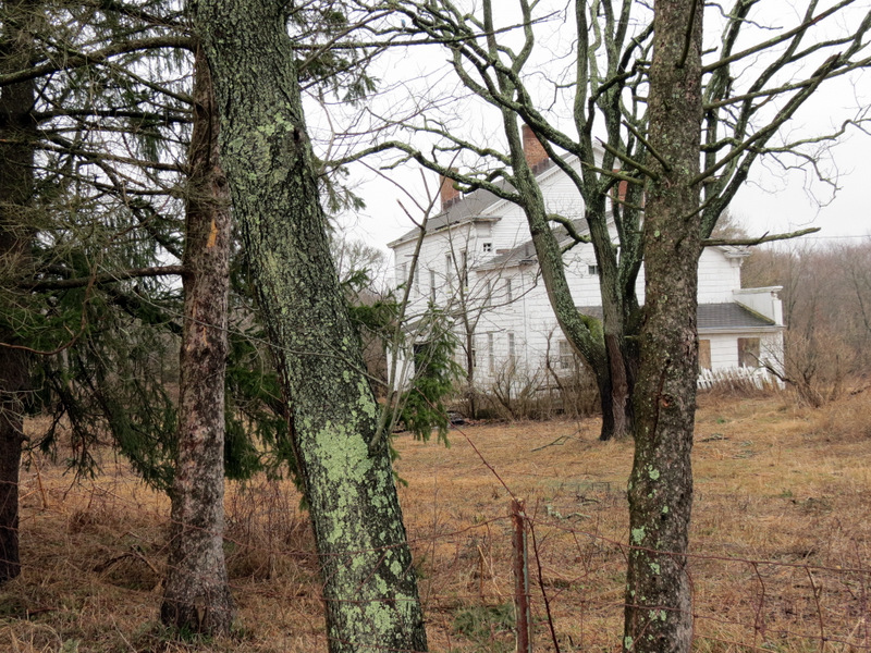
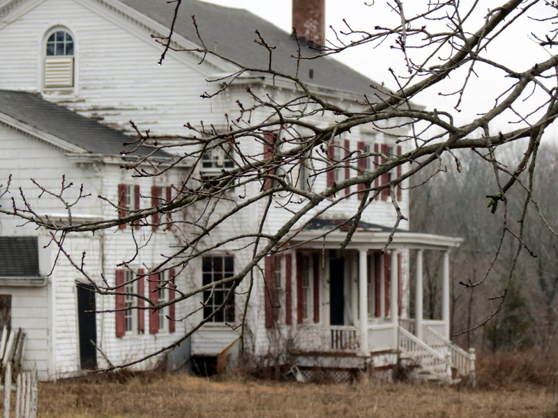 Main house |
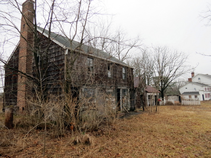 Large barn |
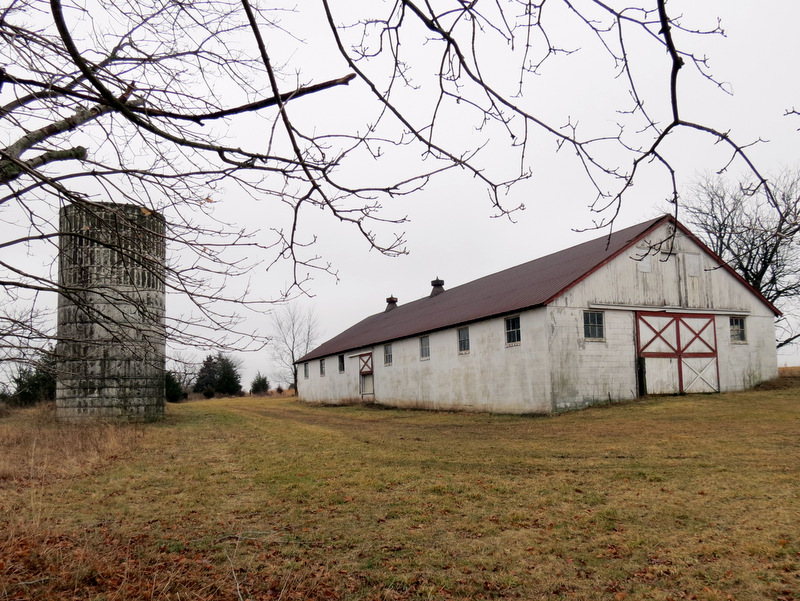 Silos and barn |
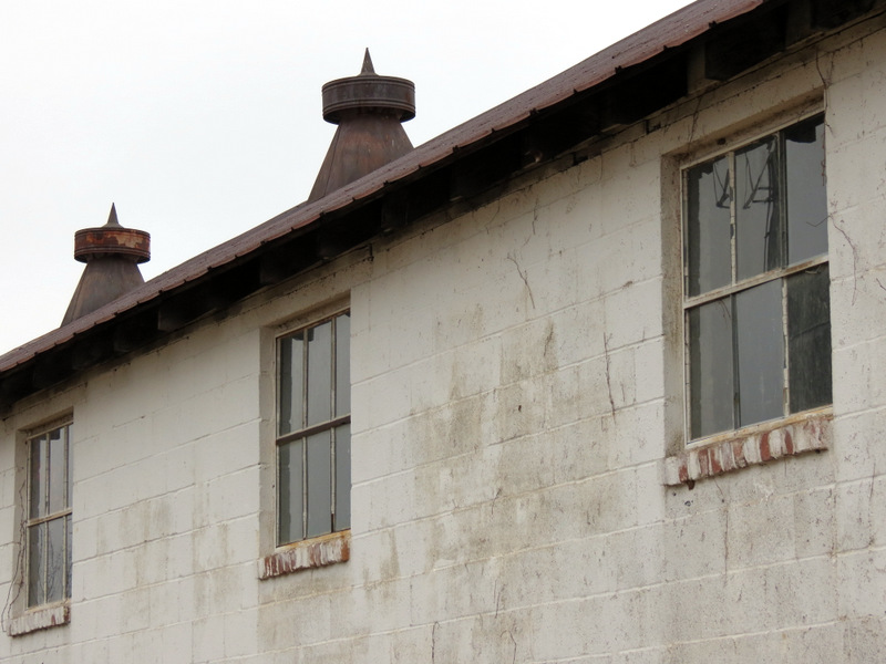 Windows |
 Silo ladders |
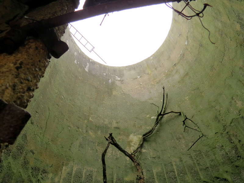 Inside silo |
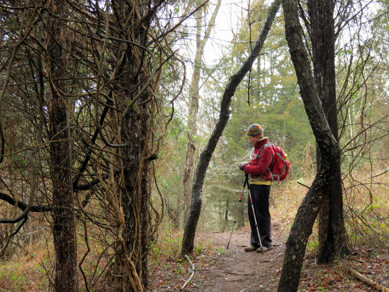
 Laura dwarfed |
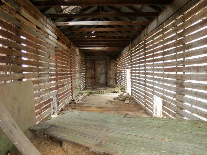
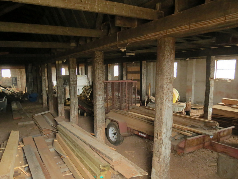 View into one building |
 Fields out back |
 |
 Inside another building |
 Walking outside fence |
 |
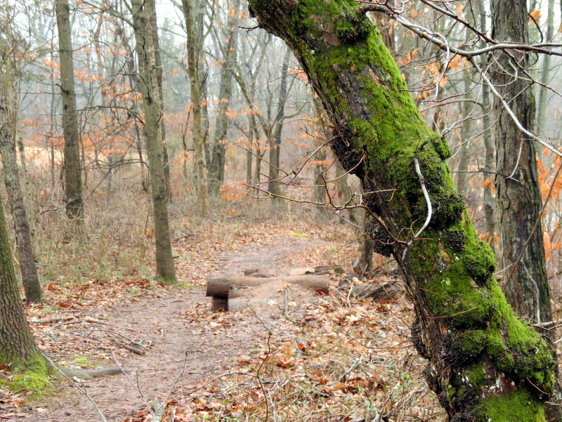
 Heading back to Red |
 Tree roots |
 Shagbark Hickory |
 Rain drops |
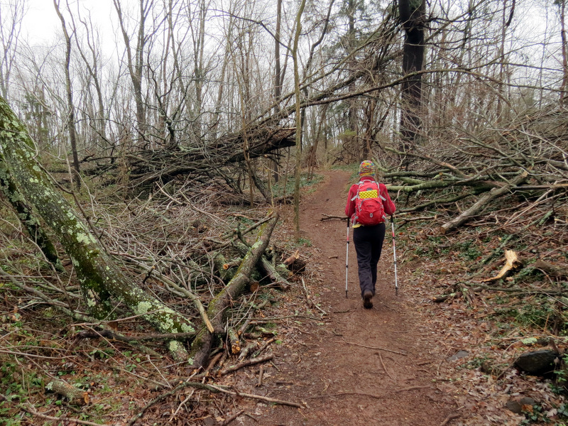
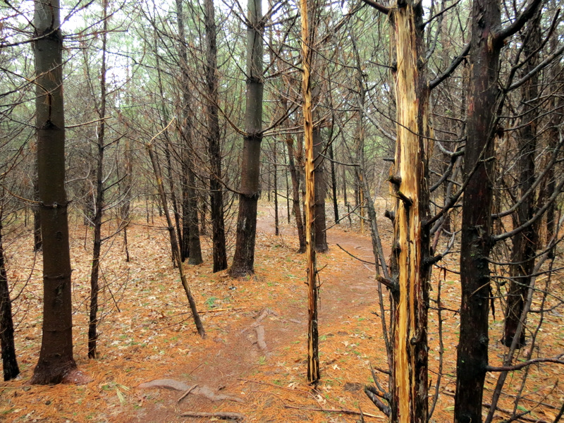
 Colorful Sandy damage |
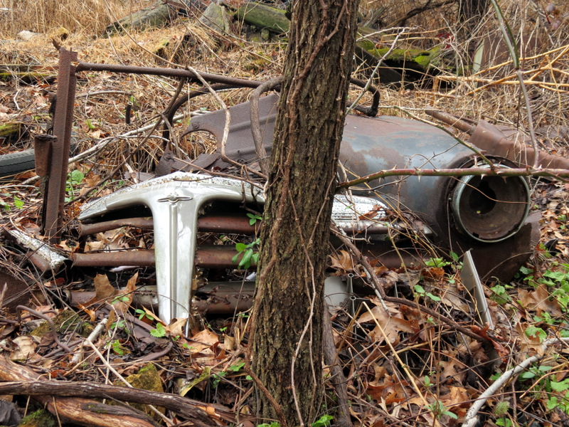 Abandoned car |
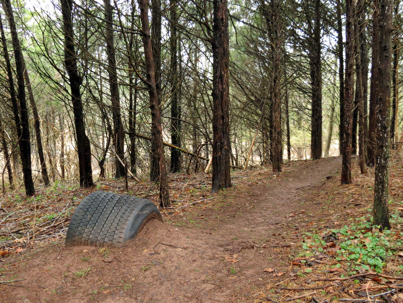 Tire as bike obstacle |
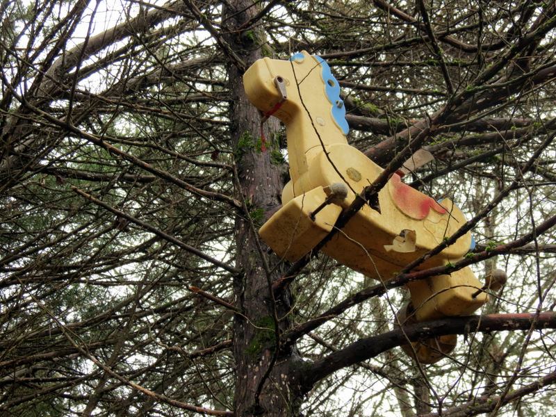 Damned kids |
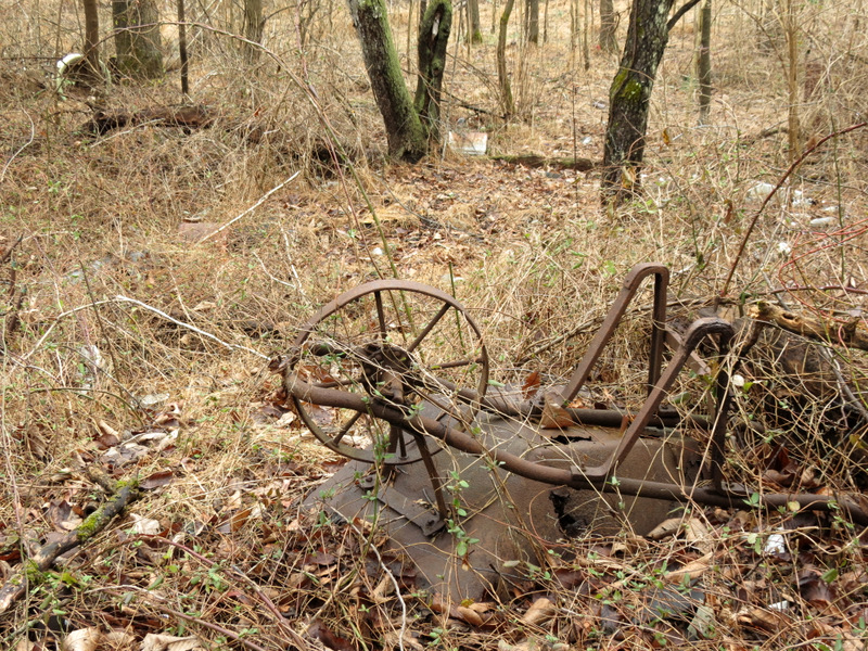 Old wheelbarrow |
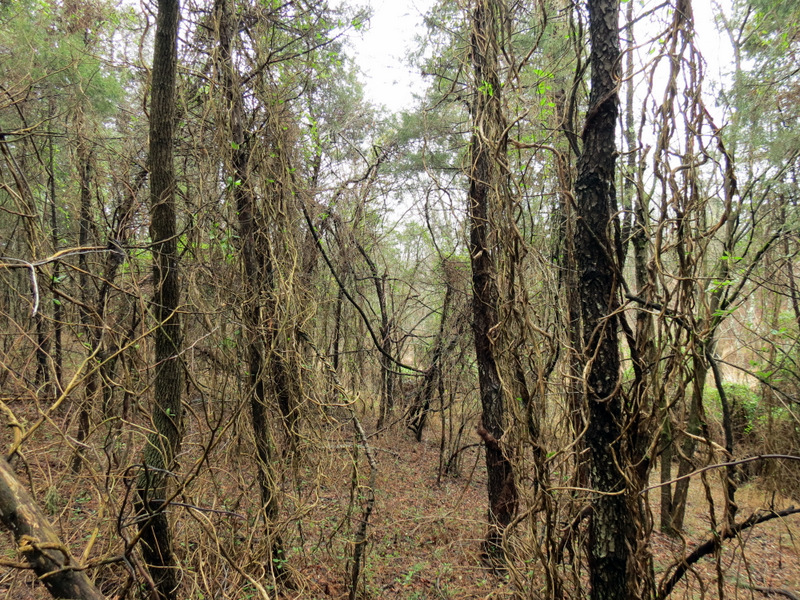 Vines |
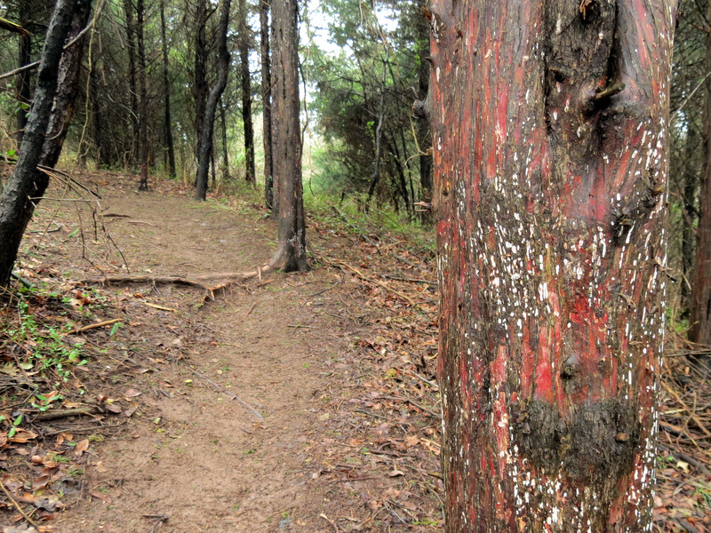 Colorful bark |
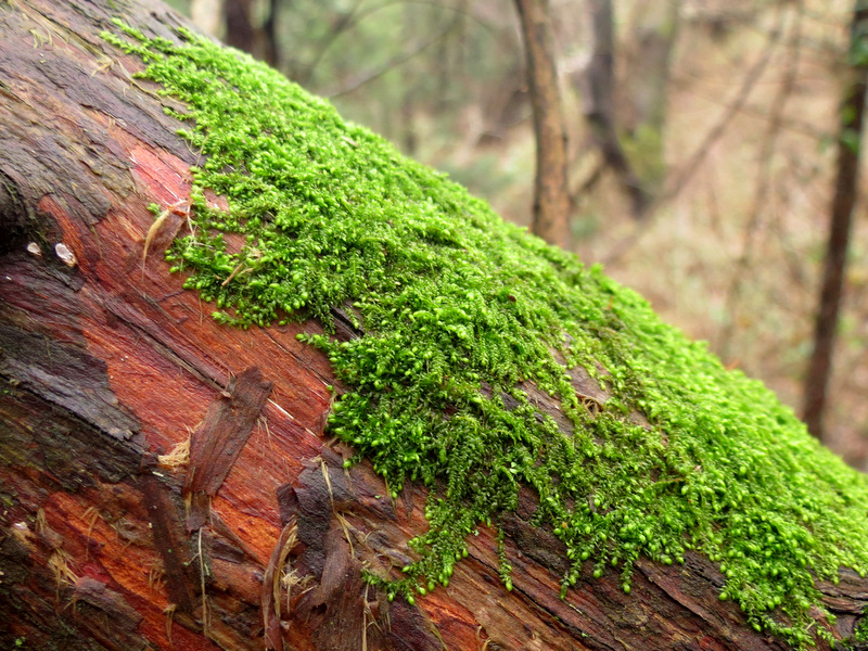 Bright green moss |
 |
 Quite a tangle |
 |
 Bridge & picnic bench on White |
 Open field |
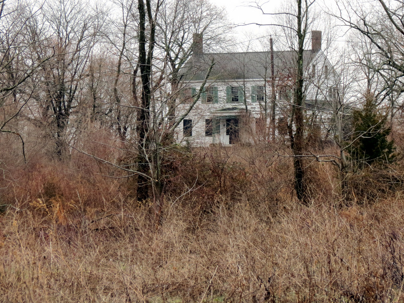 Abandoned house on Jacques Lane |
 Abandoned silos on Jacques Lane |
 White winds ... |
 ... through orchard? |

|
|
Photographs and content copyright © Dan Balogh Web design by Dan Balogh |