 |
|
This is the third month in a row that we've hiked in this beautiful, varied area. Six months after Hurricane Sandy, many of the parks up in Northern NJ are still either
completely closed or mostly closed. But Central Jersey is open, and so that's where we've been going. Today spring was in the air, and with temperatures in the 40s, after
a day of 5-6" of snow, the area was one big mud slick. I never saw so much mud on a hike (not counting one of our hikes through the Amazon rain forest in Perú last year
where the mud was so thick it kept trying to take my Wellington boots away from me). Nearly every step we took today was in mud of one consistency or another, all dirty.
At one point I slipped and fell on my backside. Less than an hour later it was Laura's turn. But it was a lovely day, and we managed to see some incredible birds.
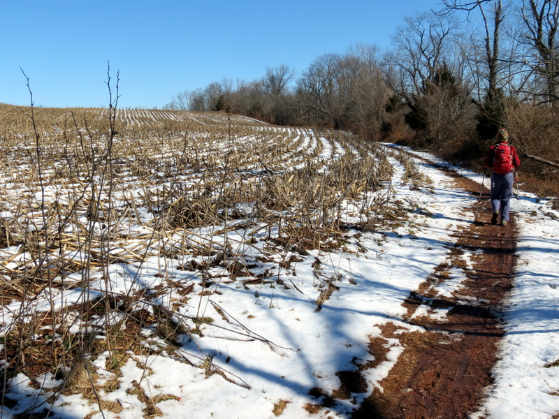
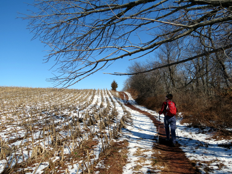
Following this JORBA map, we parked at the large parking lot on Canal Road and took the winding Blue trail through open fields, woods, along the edge of corn fields to where it meets Red. At this point we headed west on Red, on the part considered an official trail and on the JORBA map. But when the official Red turns south, we continued west. Though Red is no longer indicated on the map at this point there were lots of prints (both human and animal), lots of bike tire tracks, bike obstacles constructed by JORBA (presumably), wands with red blazes and blazes along the trees the entire length all the way to Canal Road. And it was one of the loveliest legs of the entire hike. So why isn't it on the map? Well, the biggest surprise of the day was when we got to the western end of the unofficial Red trail to find (at the very end) signs that indicated that the place we just came through was closed to the public! Amazingly there were no such warnings at the other end. On the contrary, there was an inviting wand with a big red blaze a few yards within the unofficial path at the point where the official Red turns south to Jacques Lane! And to make matters worse, there was no left-hand turn blaze for the official Red at this point, thus ensuring that others will make the same mistake and end up hiking into an area closed to the public. In any event, a very small road walk along the very narrow Canal Road got us back to our car. Total distance hiked today was 5.7 miles in just over 3 hours.
|
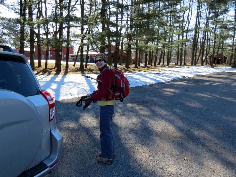 Canal Road parking lot |
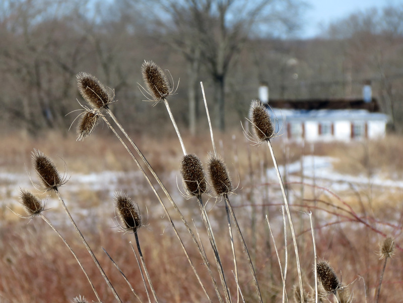
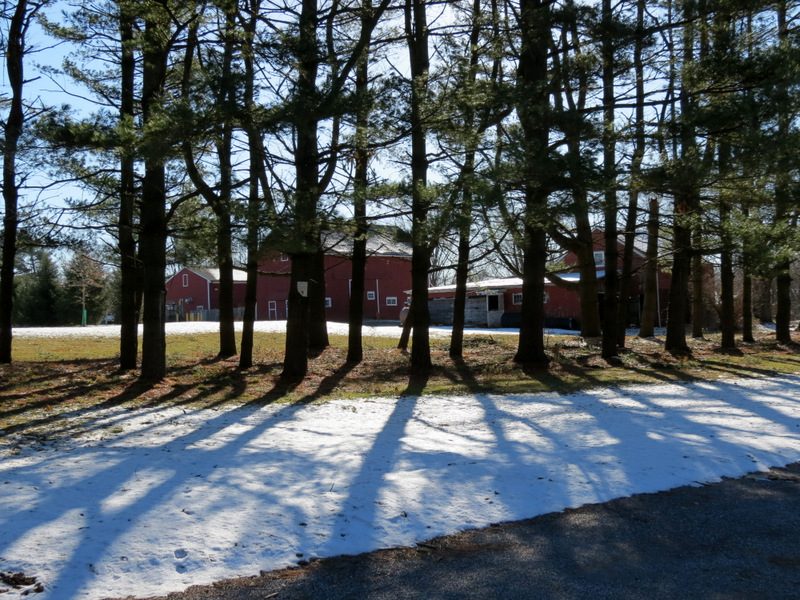 Park buildings |
 At Blue trail head |
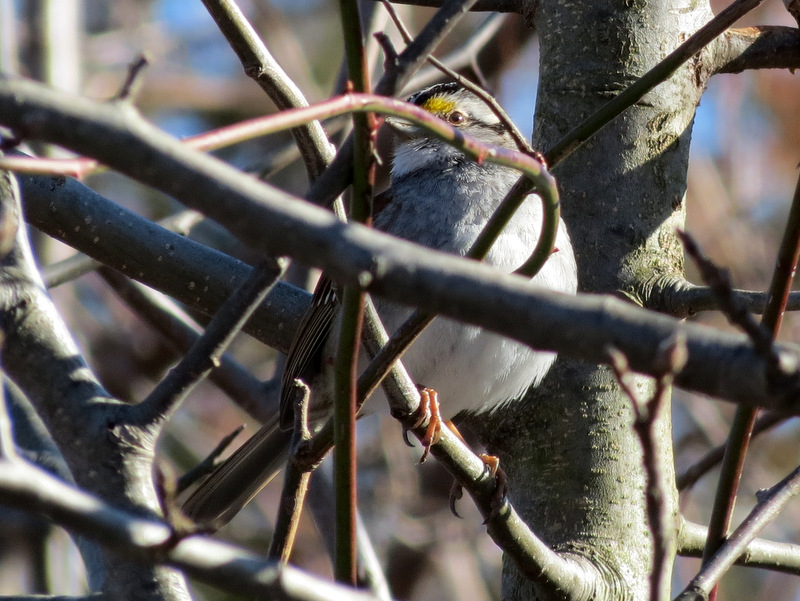 White-throated Sparrow |
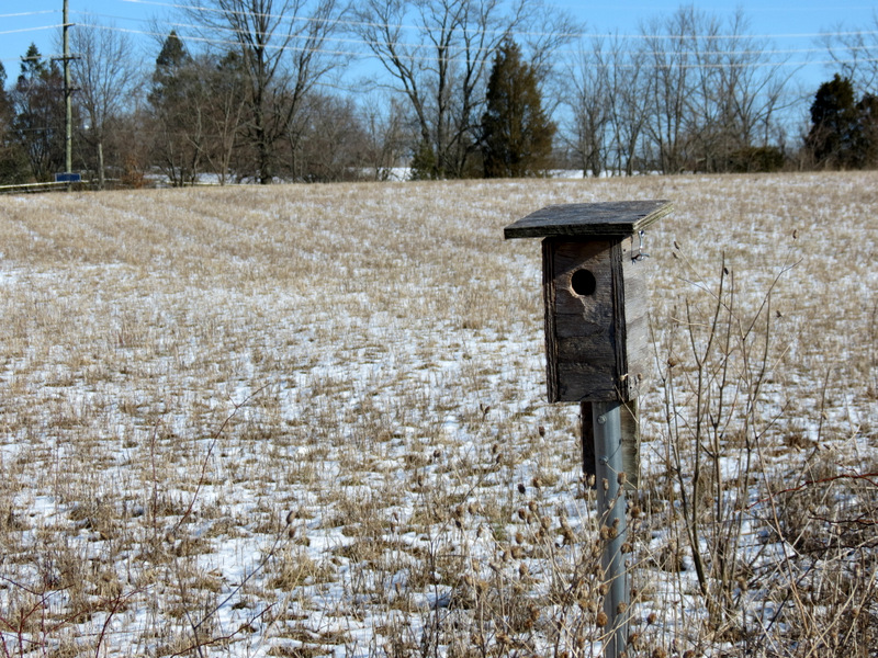
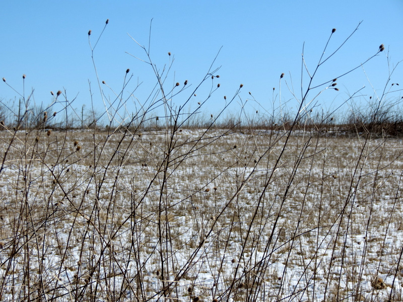 Open field |
 One of many |
 [Photo by Laura] |
 |
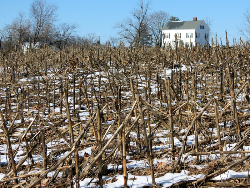
 Beautiful house on Canal Road |
 Winding, muddy Blue |
 |
 |
 |
 |
 Two Eastern Bluebirds |
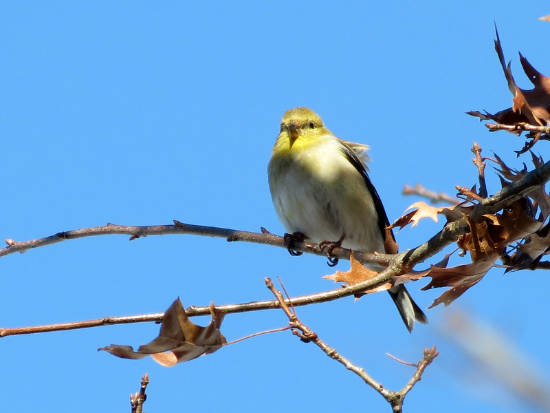 American Goldfinch (winter male) |
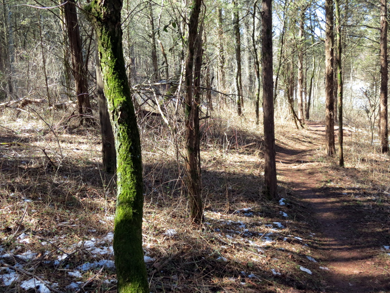
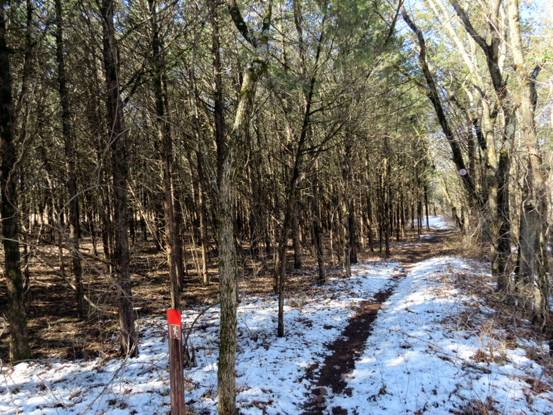
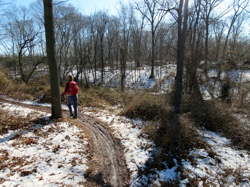 Into the woods |
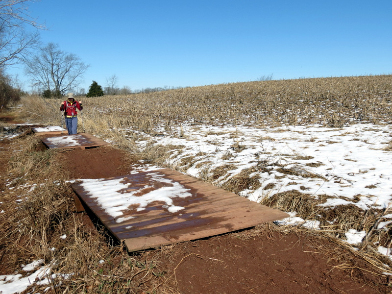
 JORBA bridges ... |
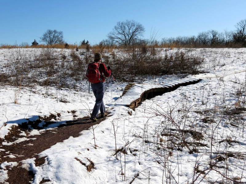 ... abound |
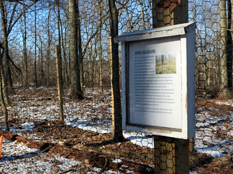 Deer Exclosure |
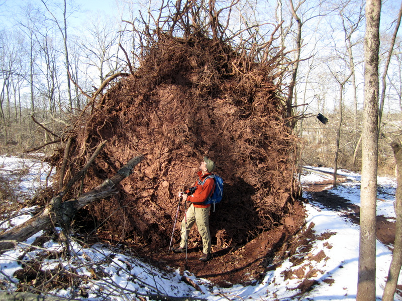 What a root! [Photo by Laura] |
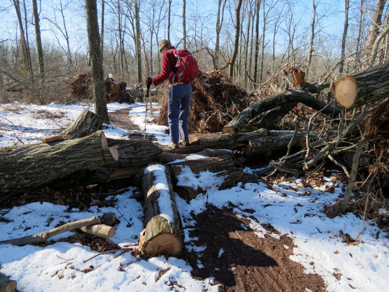 Blow-down becomes bike obstacle |
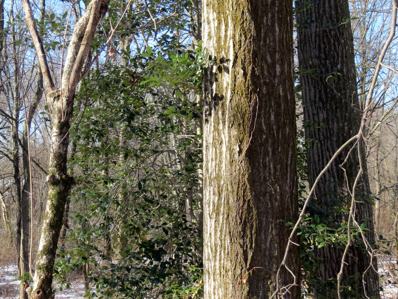 Holly |
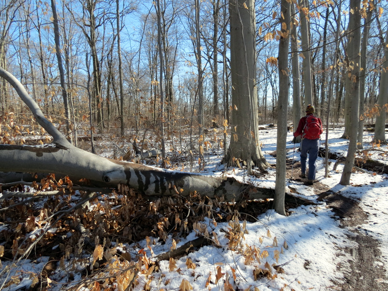 Cleared Sandy blow-down |
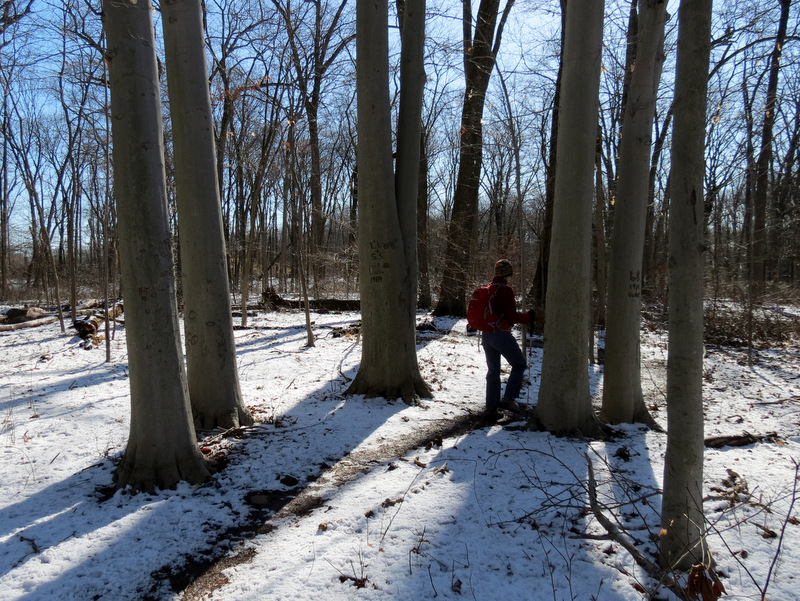 Beeches like Greek columns |
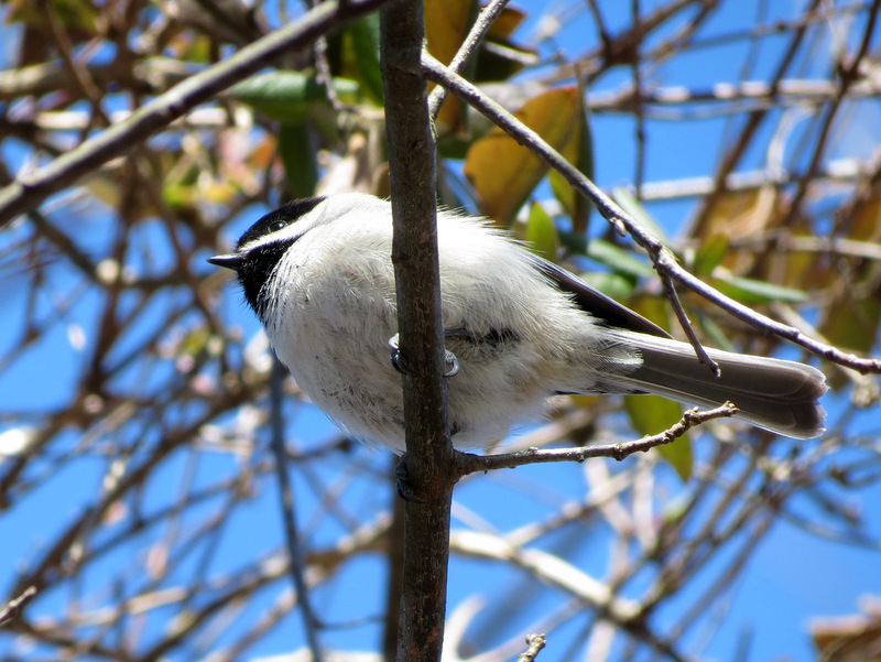 Chickadee from below |
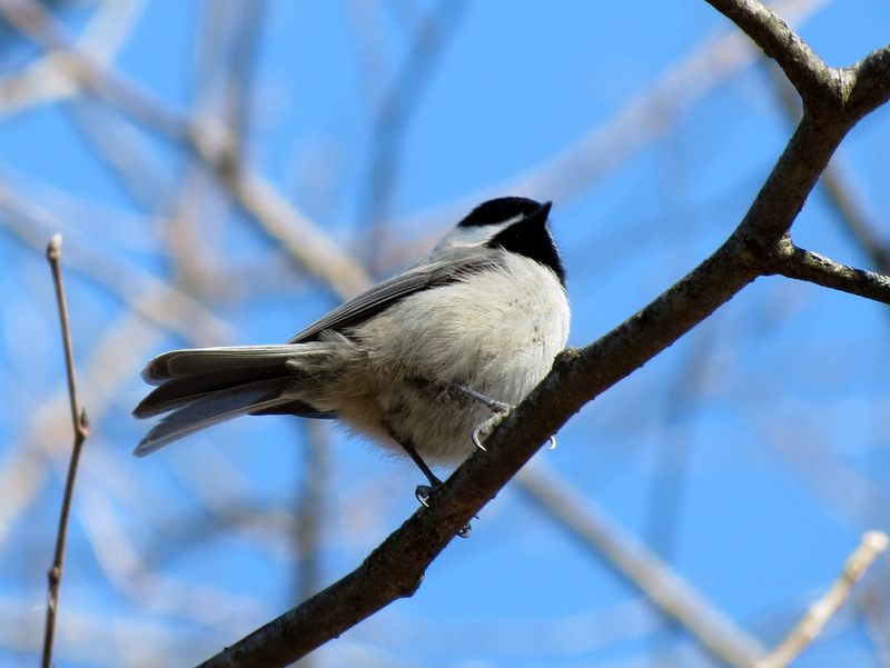 Another Chickadee |
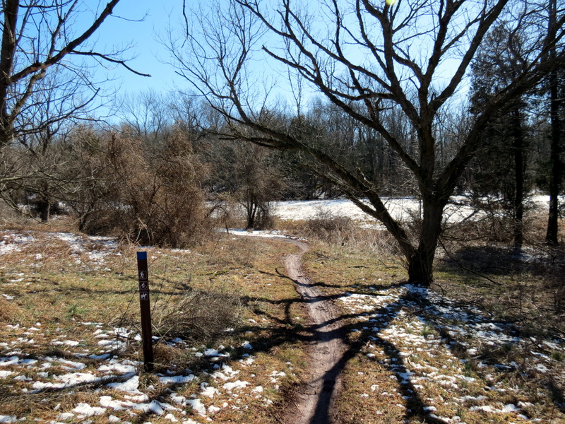
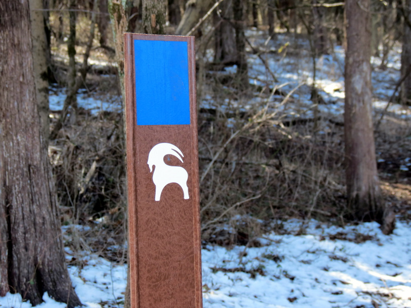
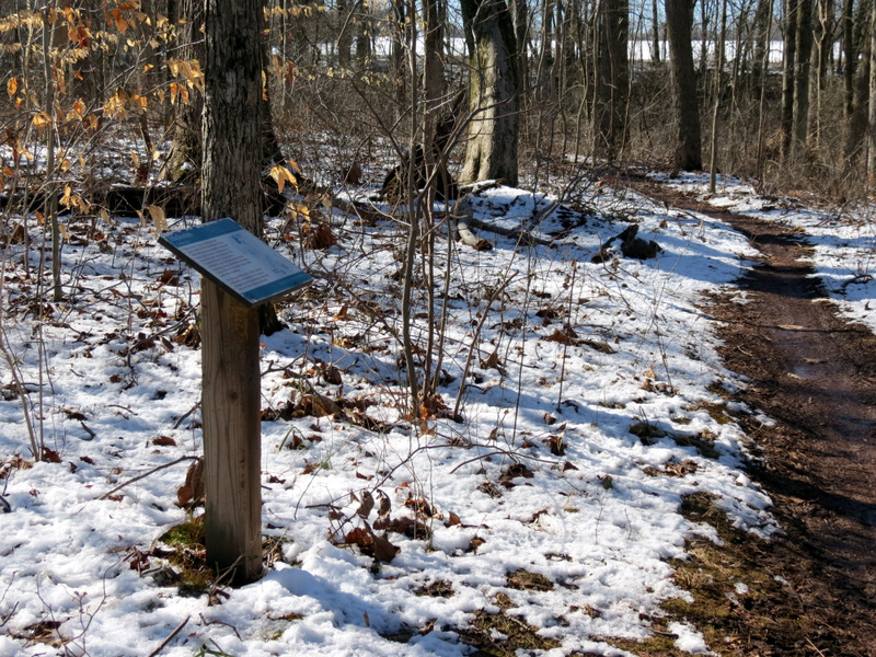 Informative sign |
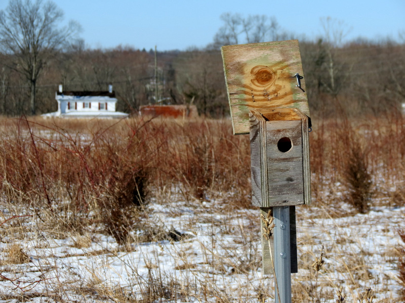
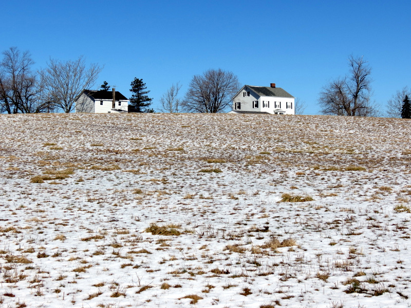 Houses on the hill |
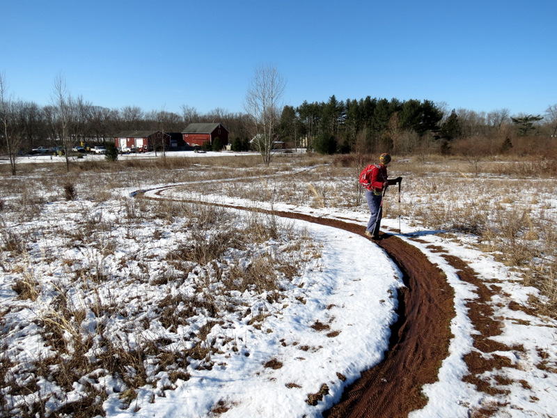
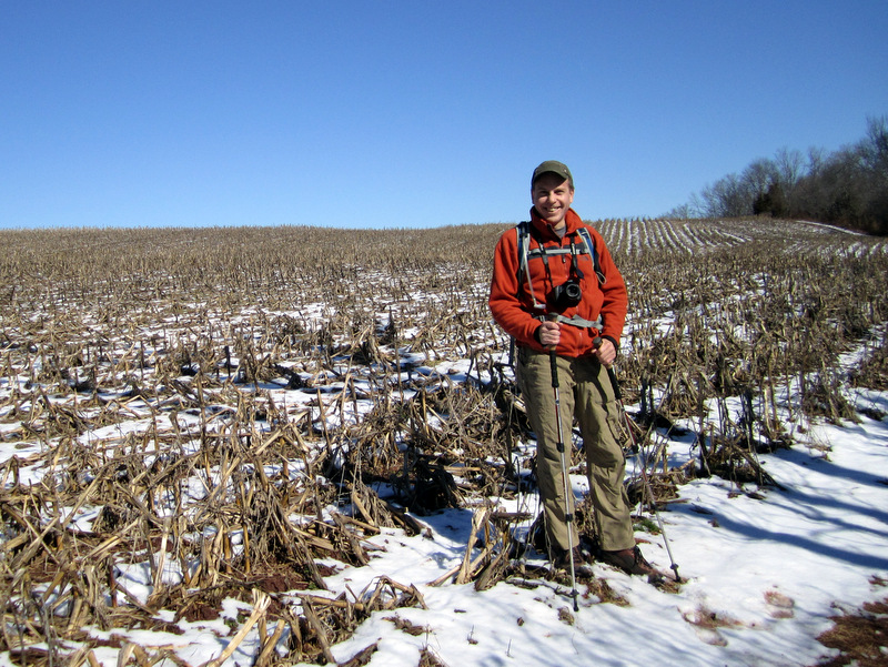
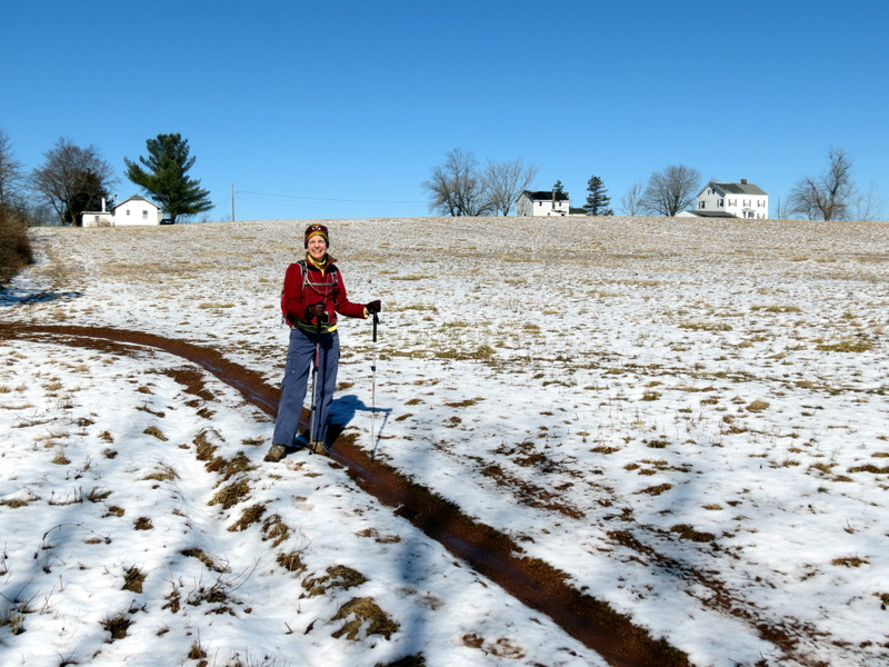 Laura on edge of field |
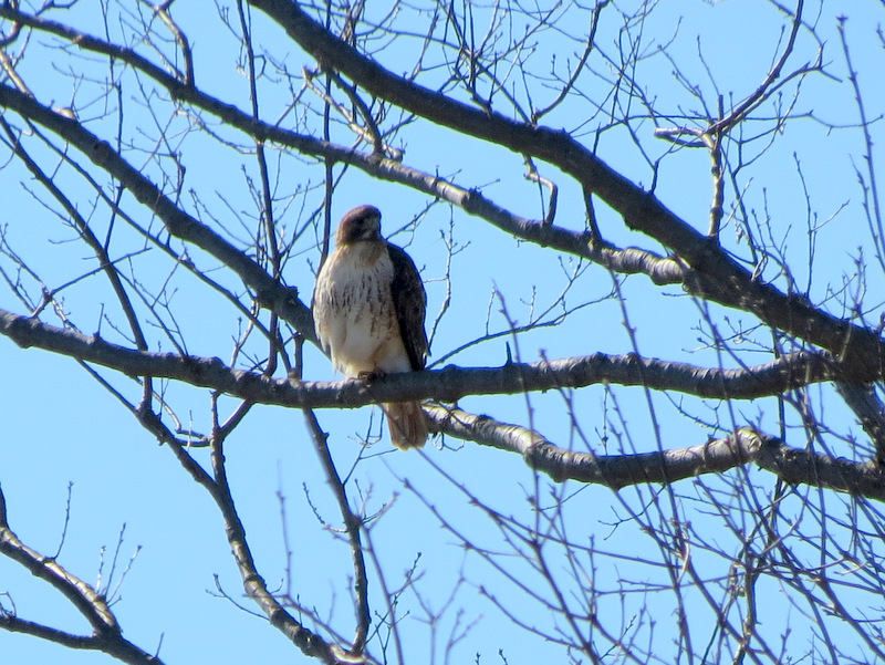
 Red-tailed Hawk ... |
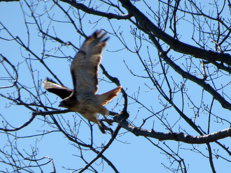
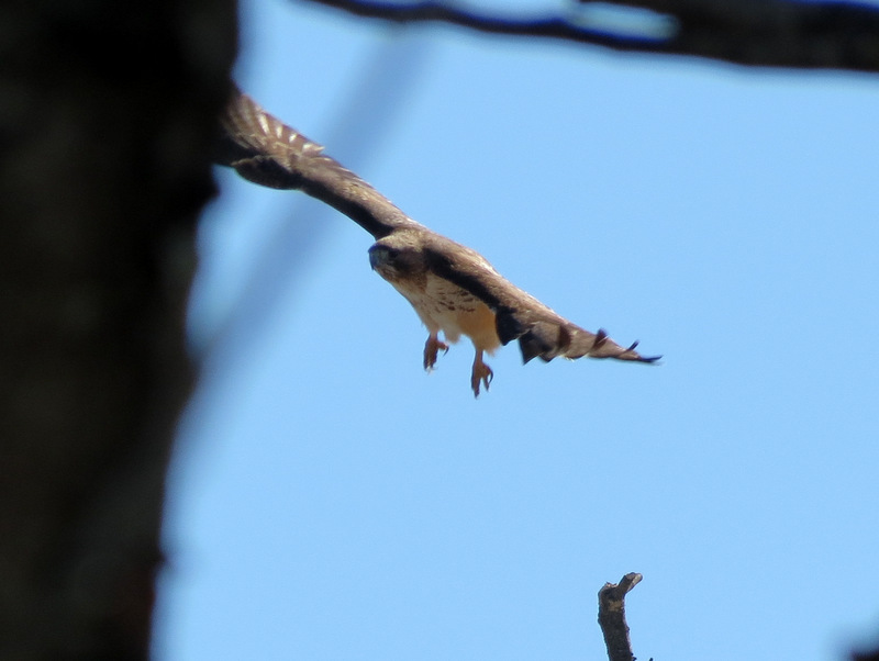 ... taking off |
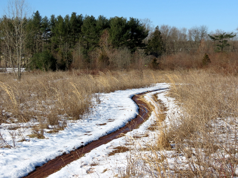
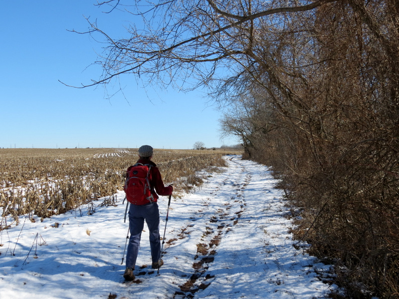
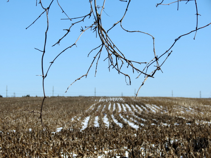
 Path along ... |
 ... edge of cornfield |
 Child of the Corn [Photo by Laura] |
 |
 |
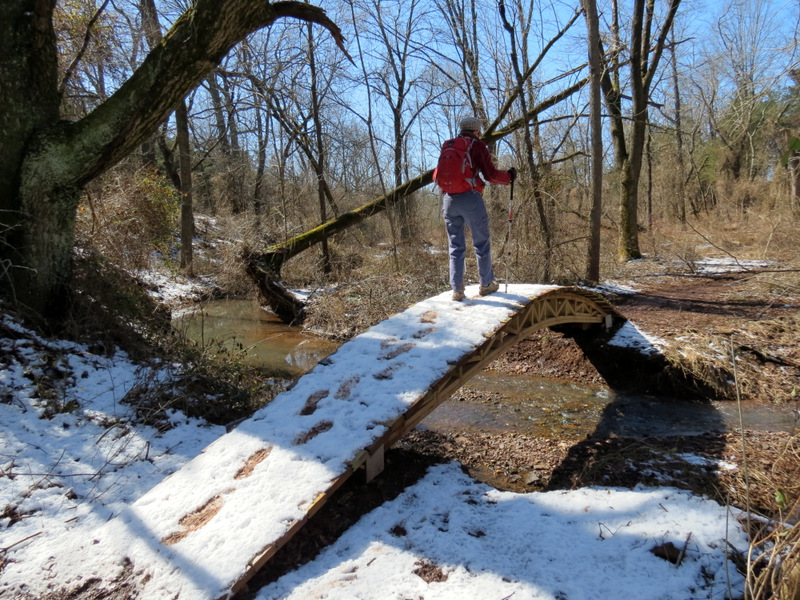
 Steep Hill Brook |
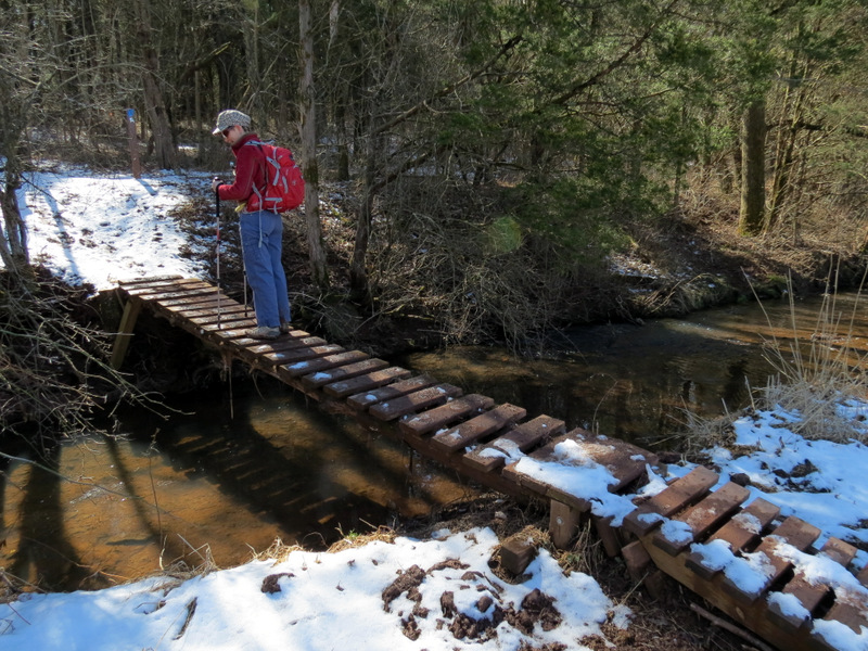
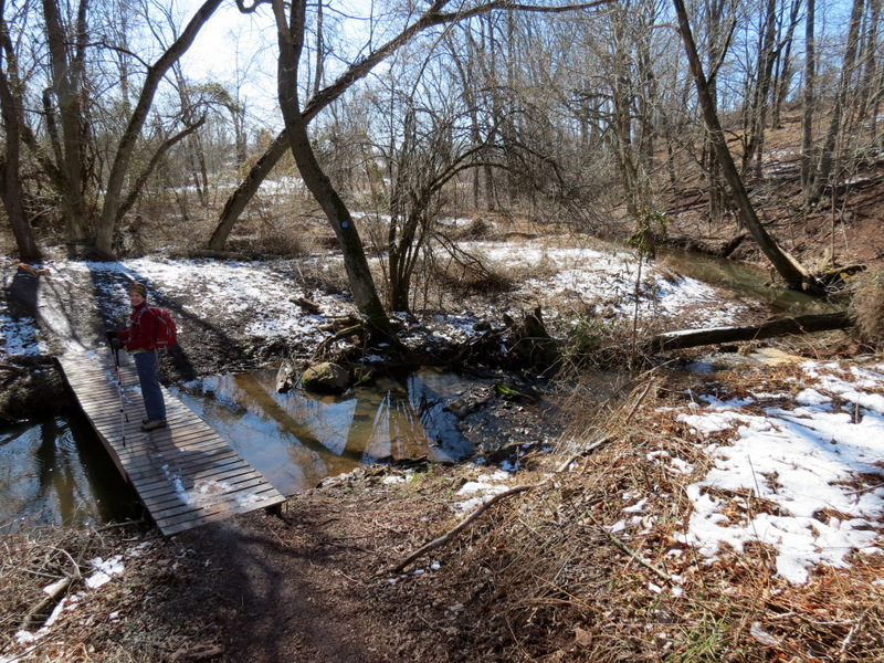 Crossing over ... |
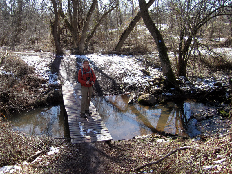 ... Steep Hill Brook [Photo by Laura] |
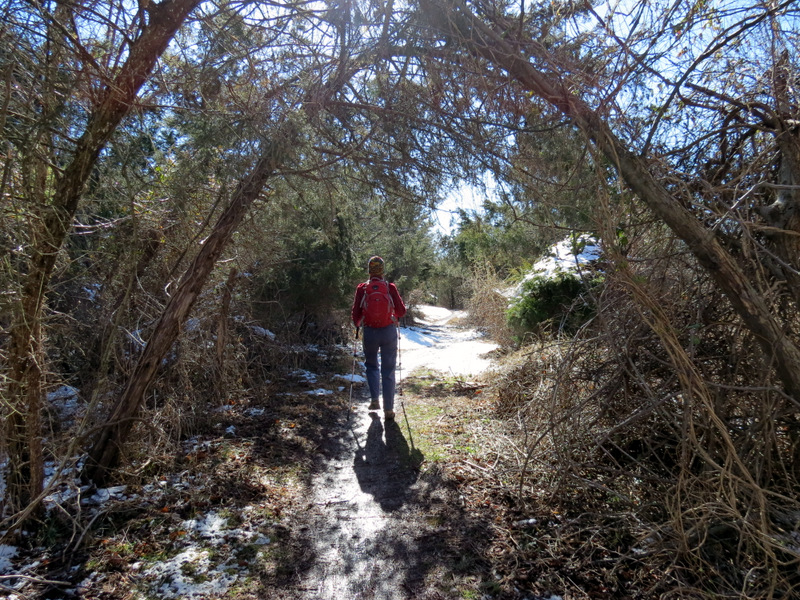 Green tunnel |
 More cool JORBA bridges |
 Another Red-tailed Hawk ... |
 ... taking off |
 |
 |
 |
 |
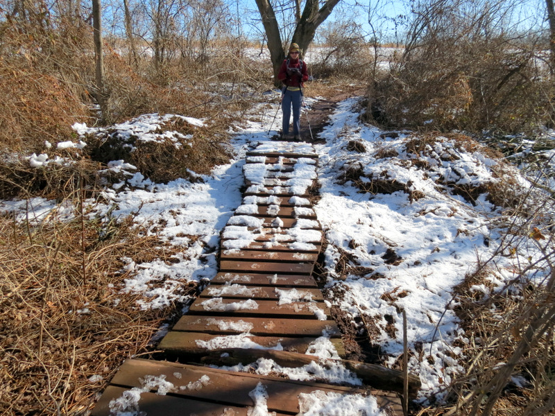
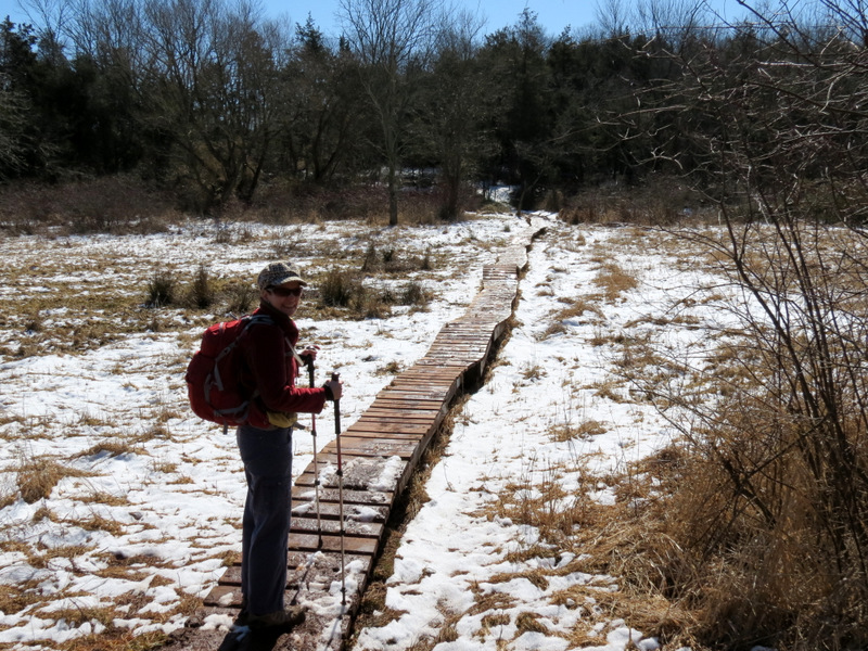 Boardwalk through swamp |
 Middle Bush Brook crossing |
 What the? |
 |
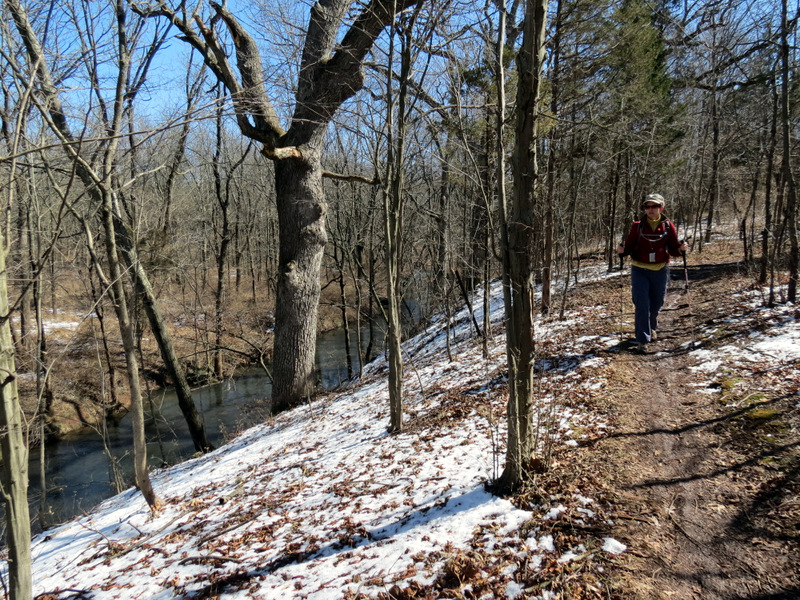
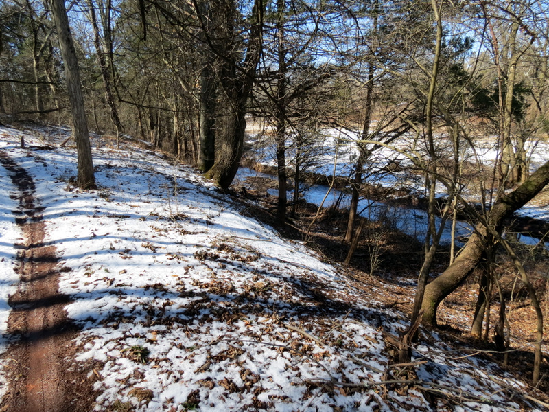 Blue parallels Six Mile Run below |
 Colors in water |
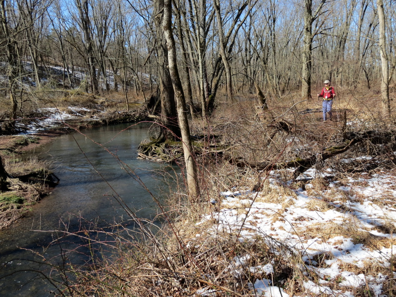 Six Mile Run |
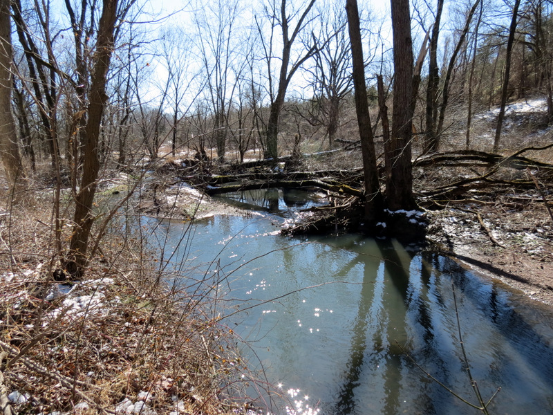 Six Mile Run |
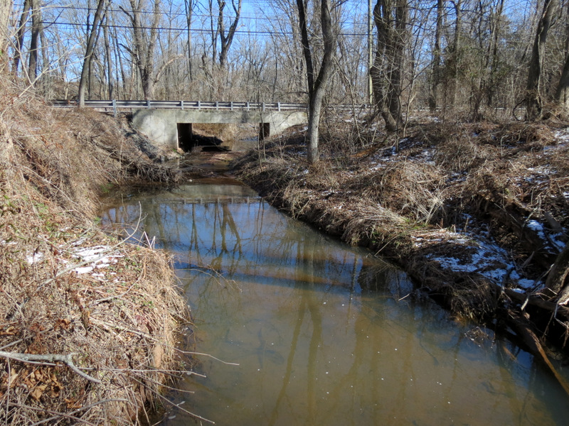
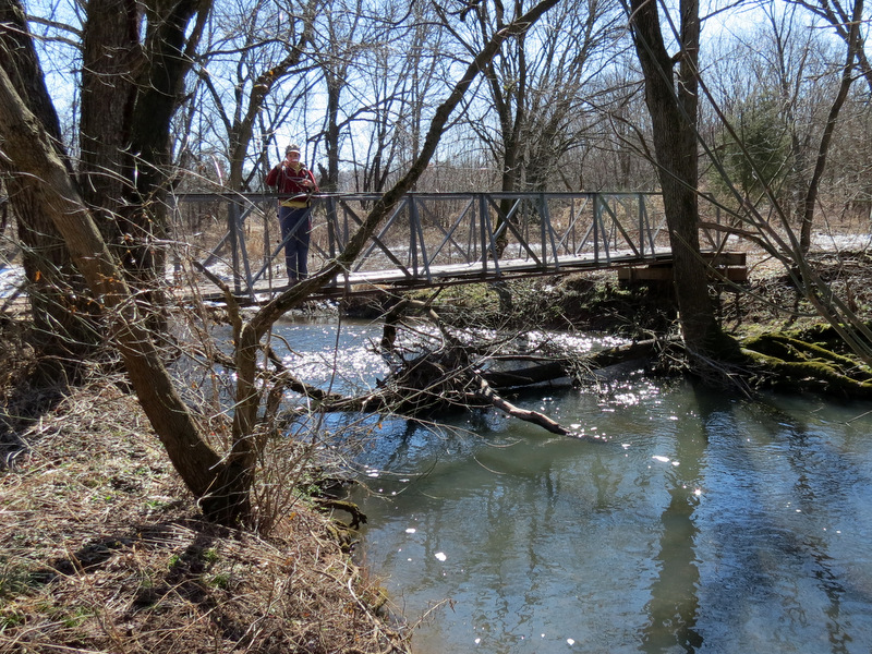 Bridge over ... |
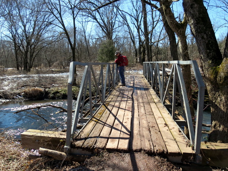 ... Six Mile Run |
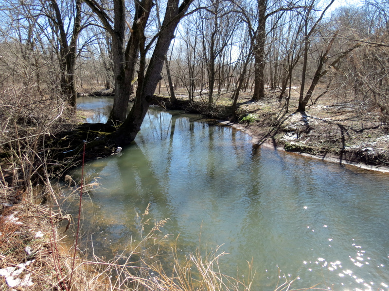 Six Mile Run |
 On Red heading west |
 Red above the Run |
 Heading west on Red |
 JORBA bridge |
 Natural twist |
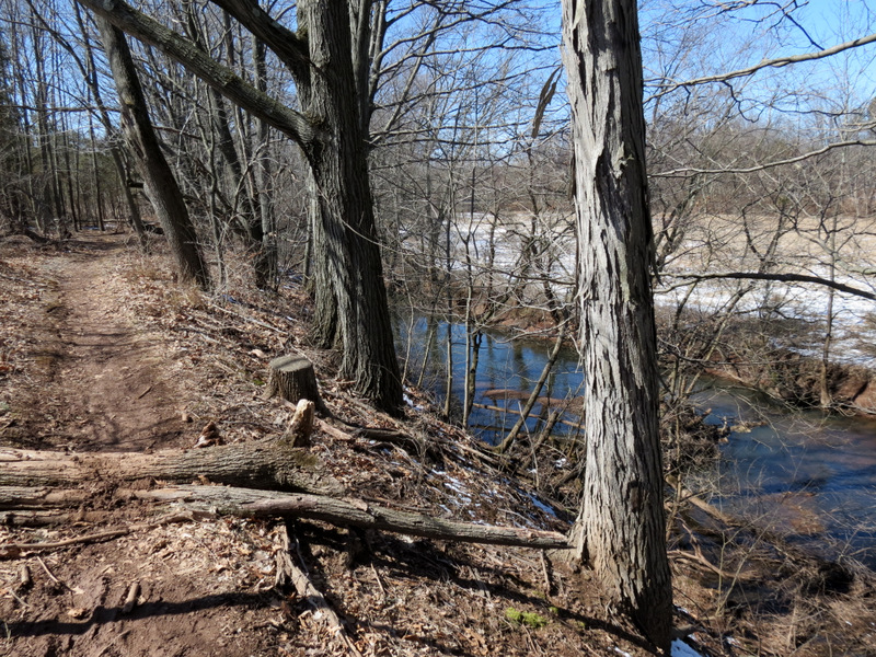
 Unofficial Red above the Run |
 |
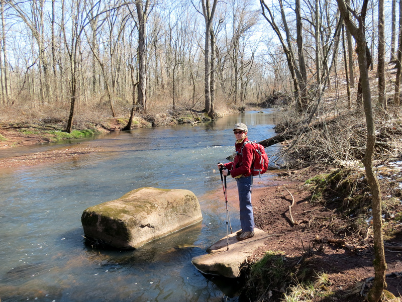 Six Mile Run looking east |
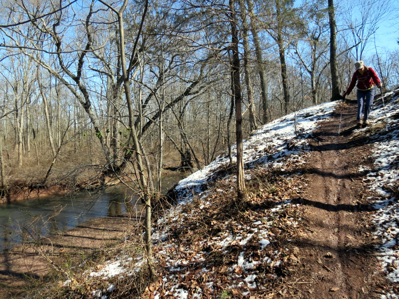 Very slippery mud in spots |
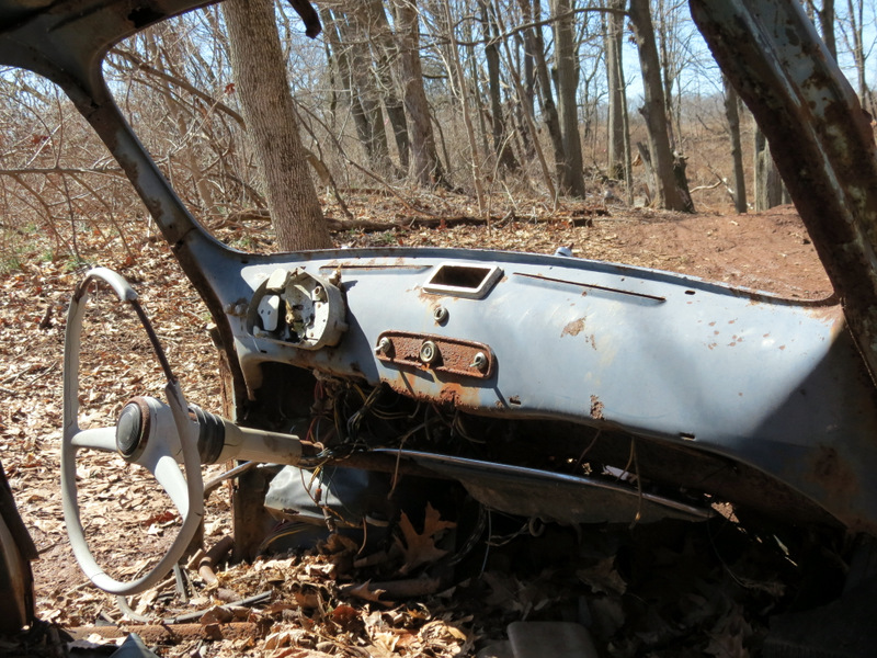 Dashboard of ... |
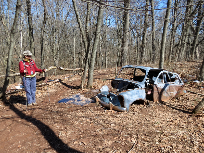 ... abandoned car |
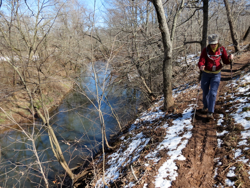 Narrow and slippery |
 Unofficial Red looking west |
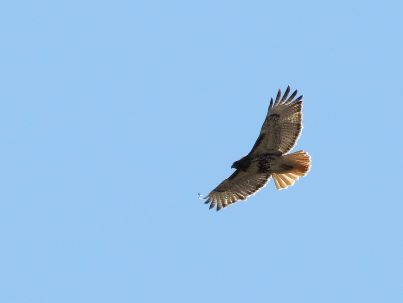 Red-tailed hawk in flight |
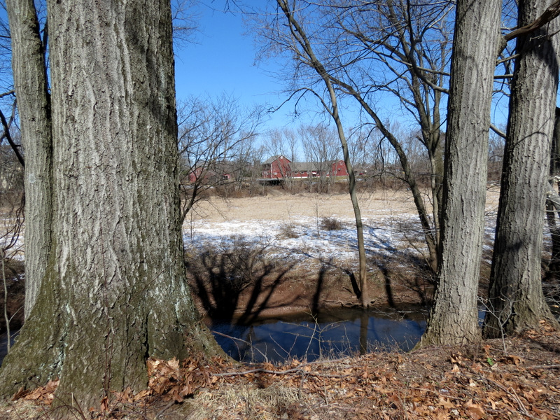 Park buildings across the Run |
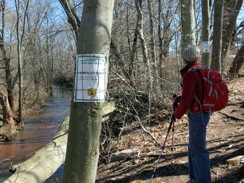 Uh-oh! |
 Heading north on Canal Road |

|
|
Photographs and content copyright © Dan Balogh Web design by Dan Balogh |