 |
|
We hiked the western network of trails in this lovely rugged area nearly five years ago.
Today we returned to hike the network of trails to the east.
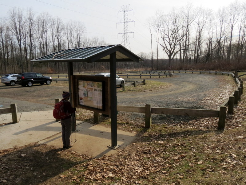
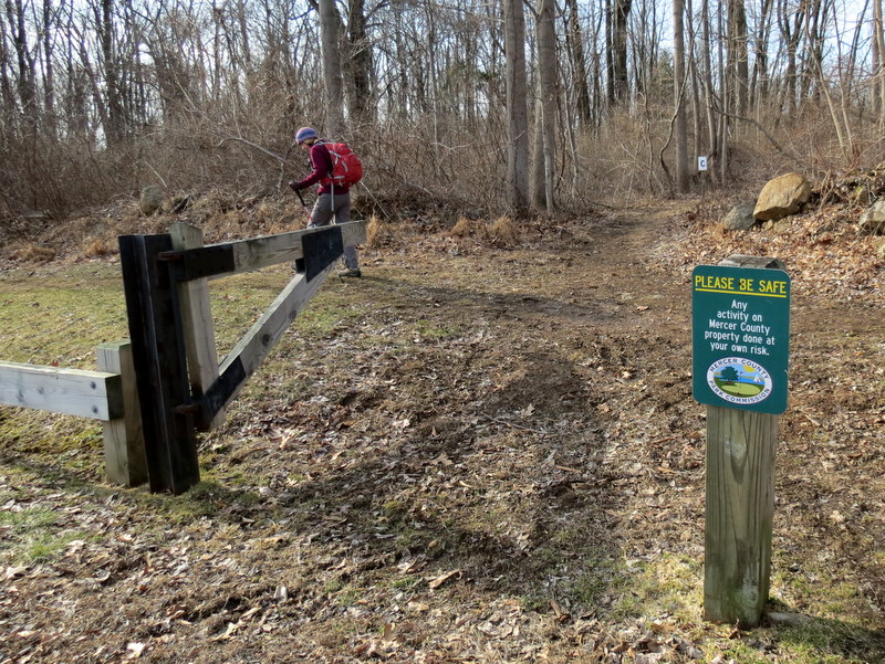
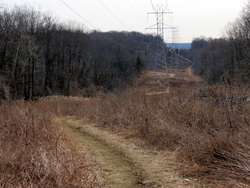
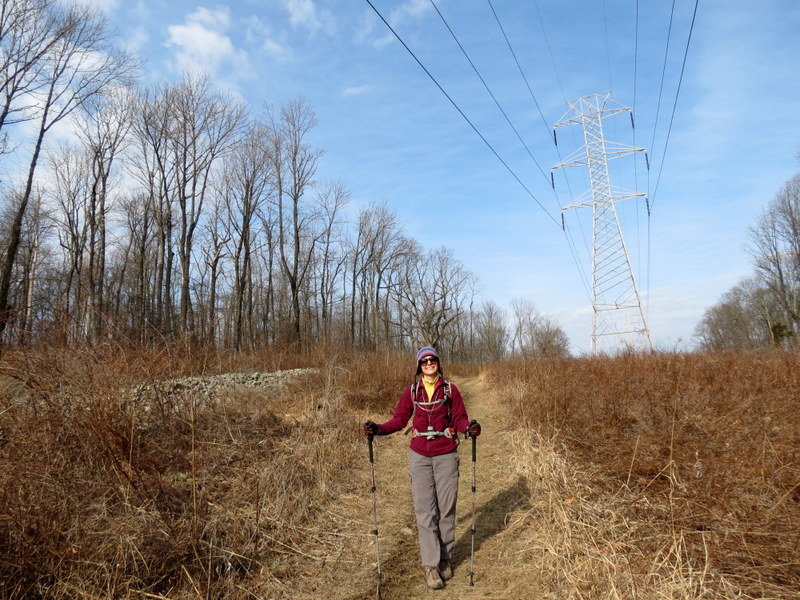
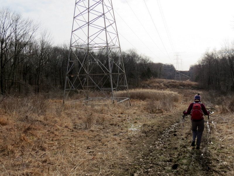
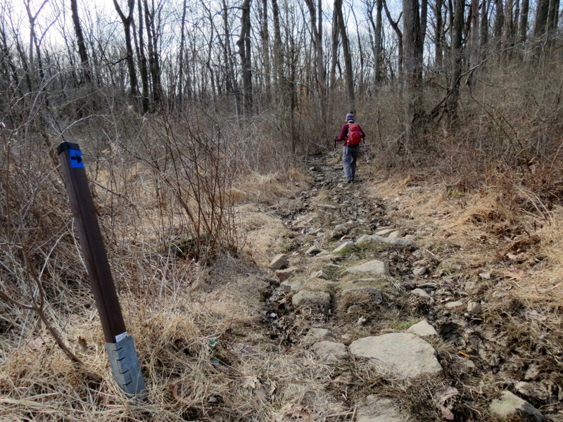
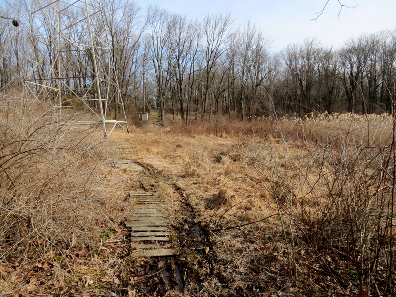
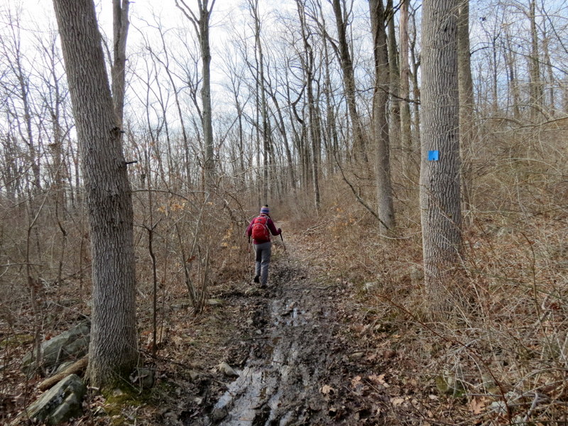
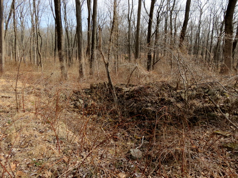
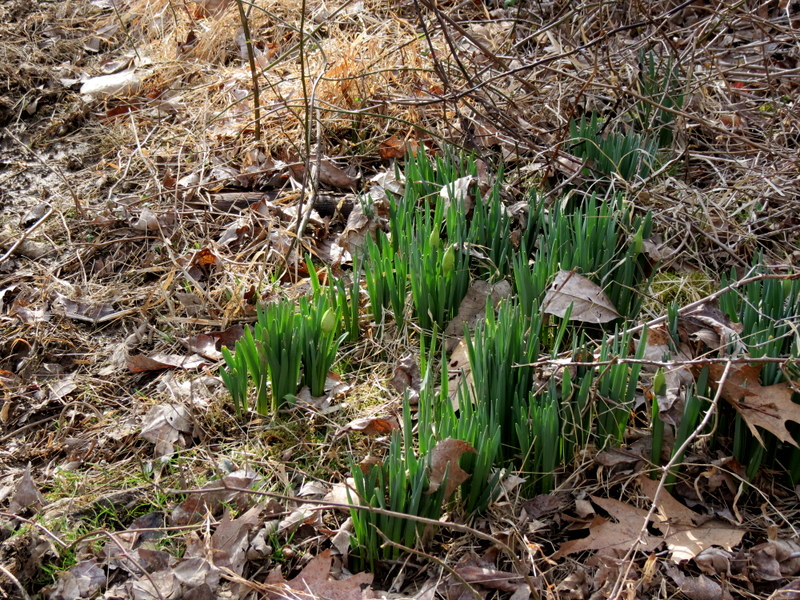
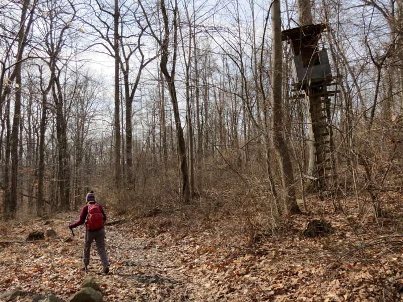
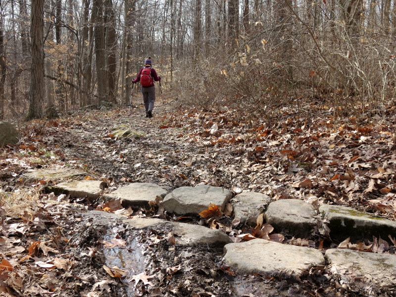
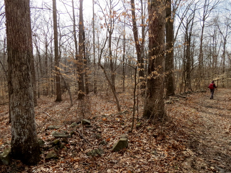
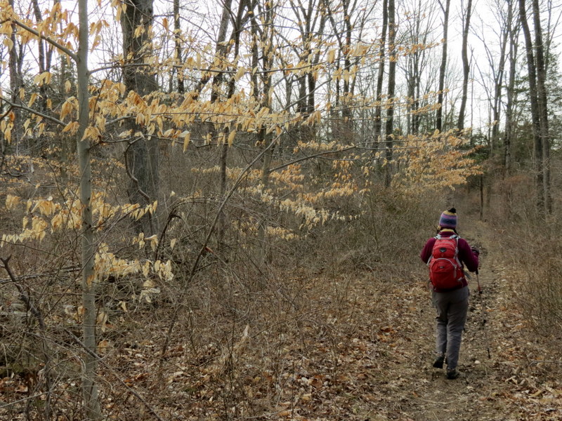
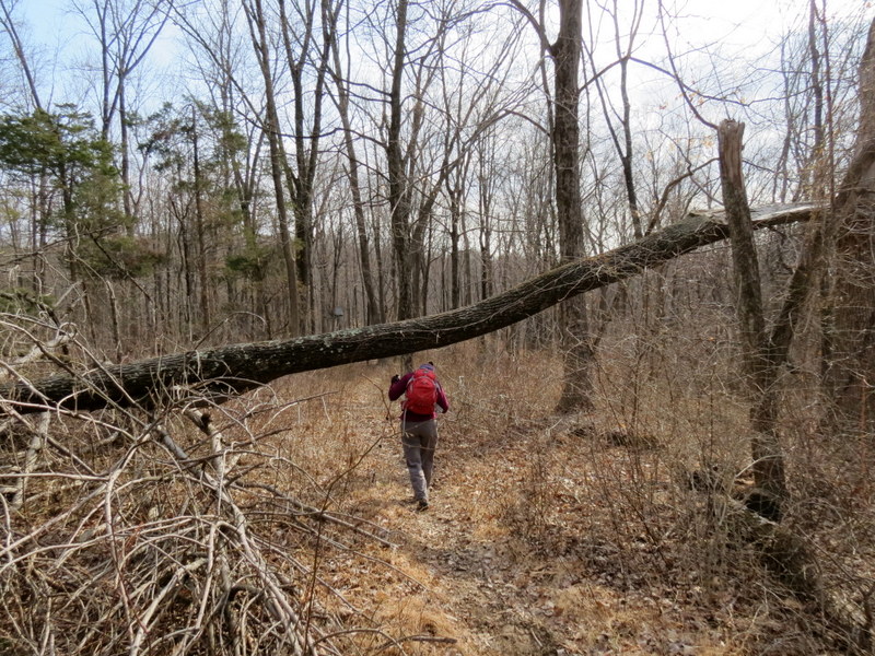
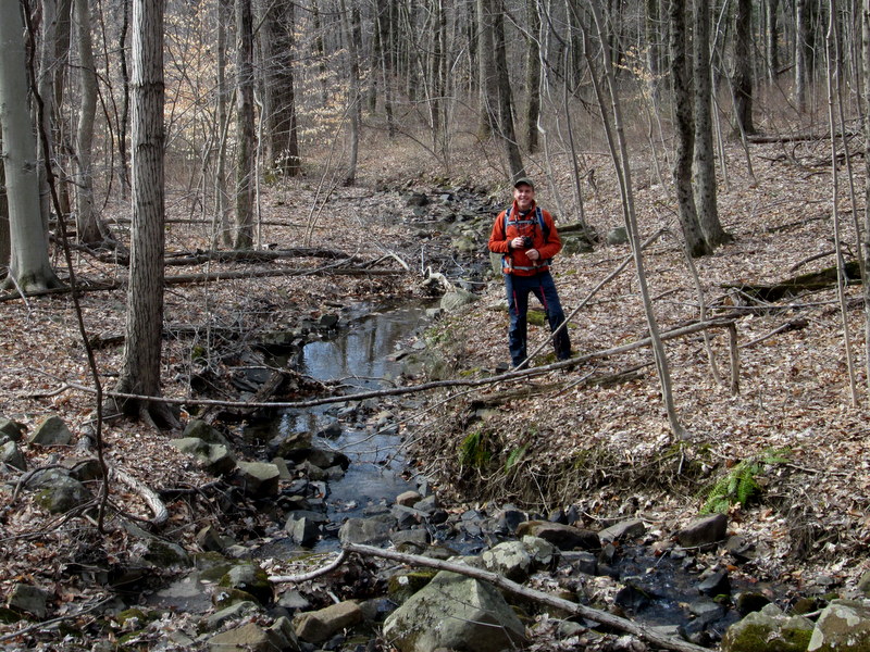
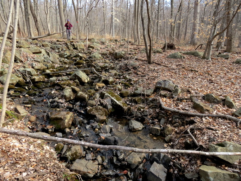
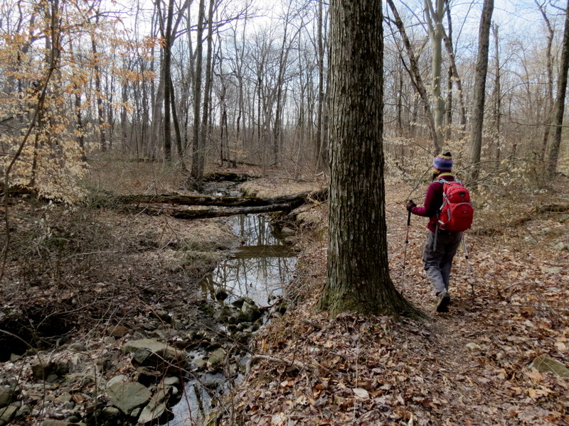
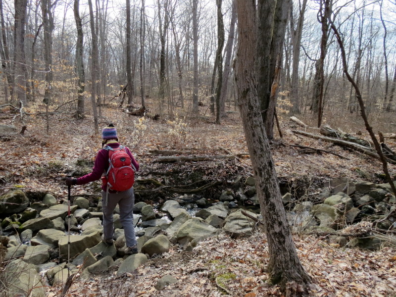
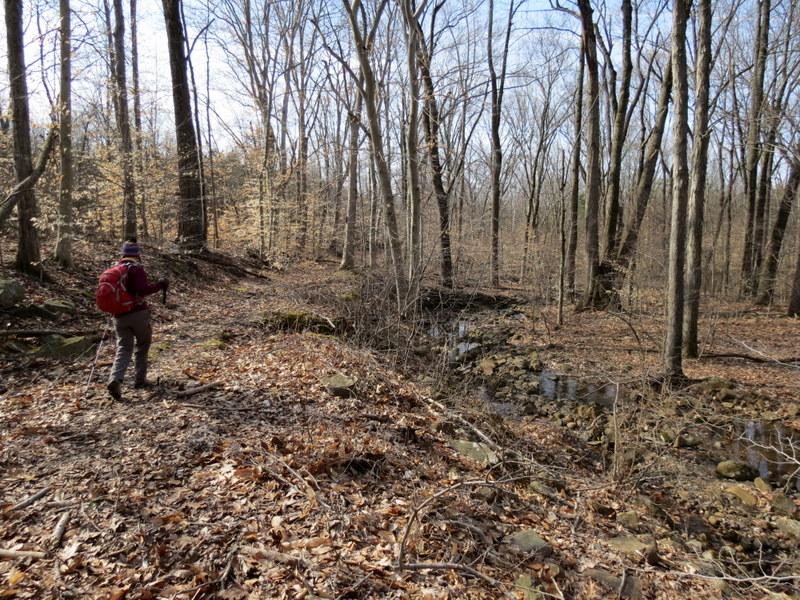
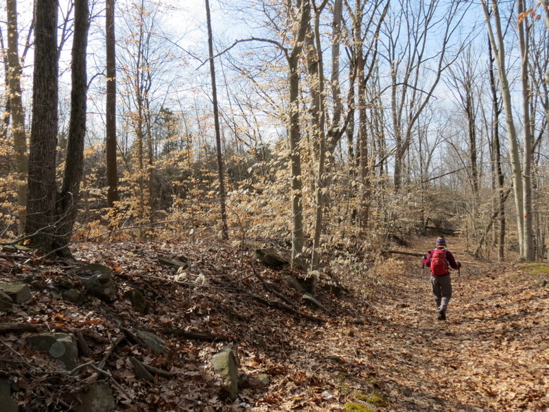
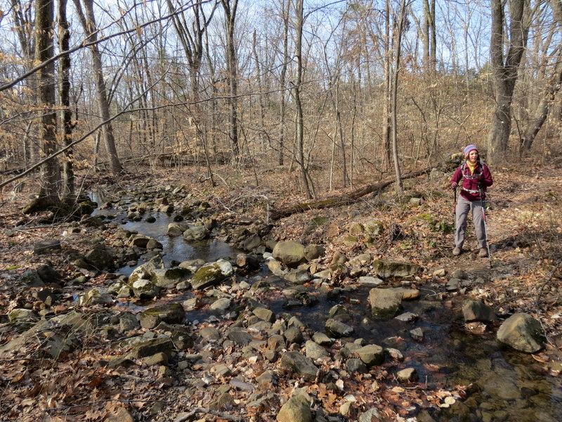
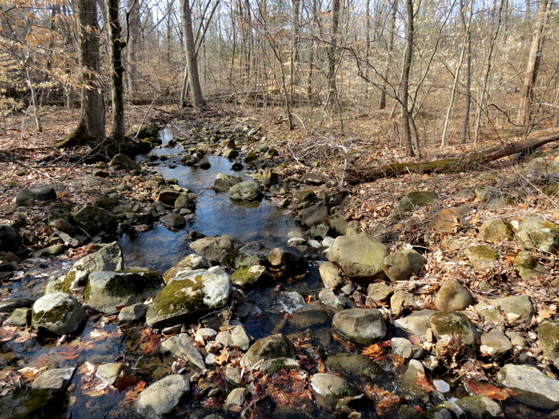
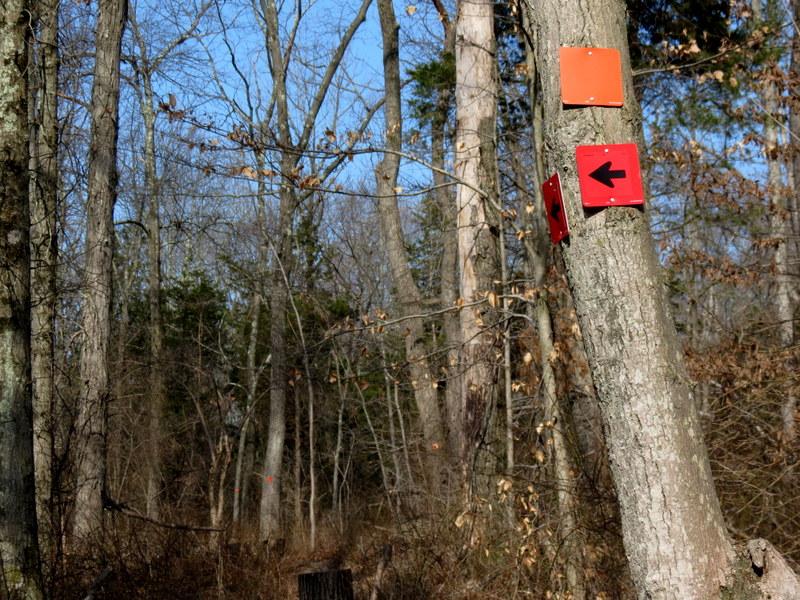
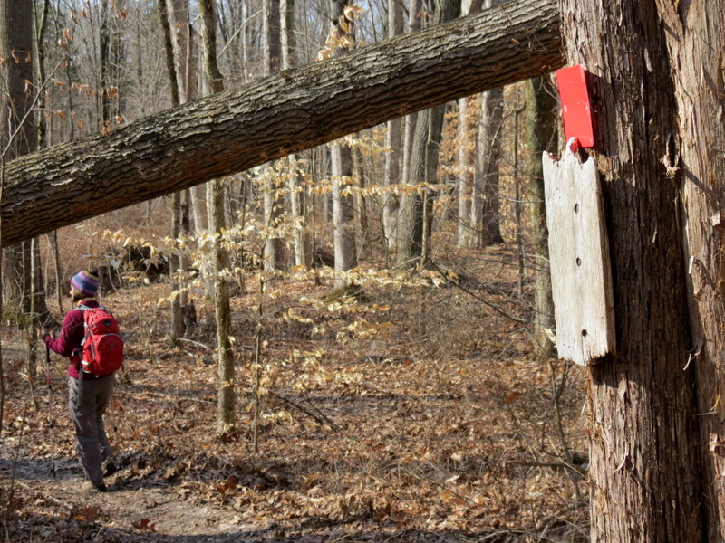
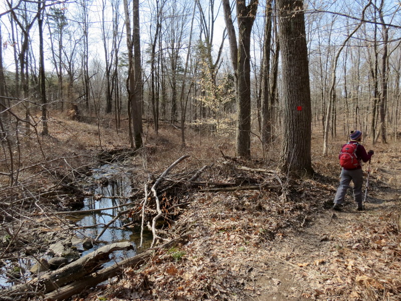
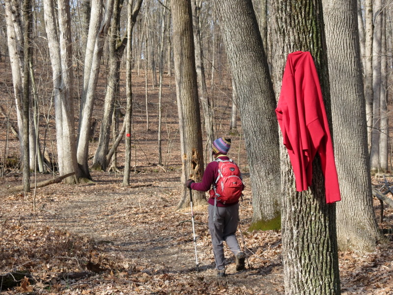
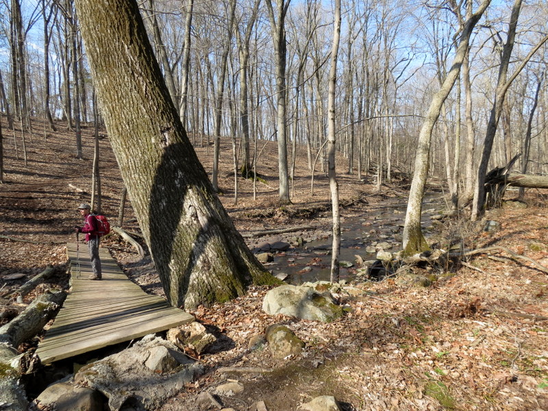
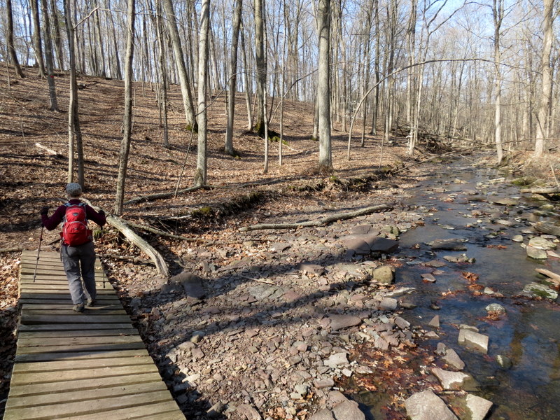
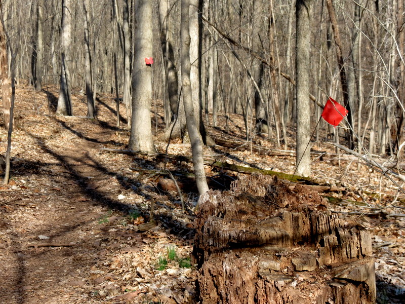
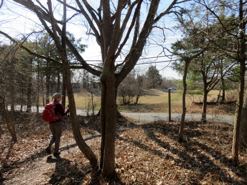
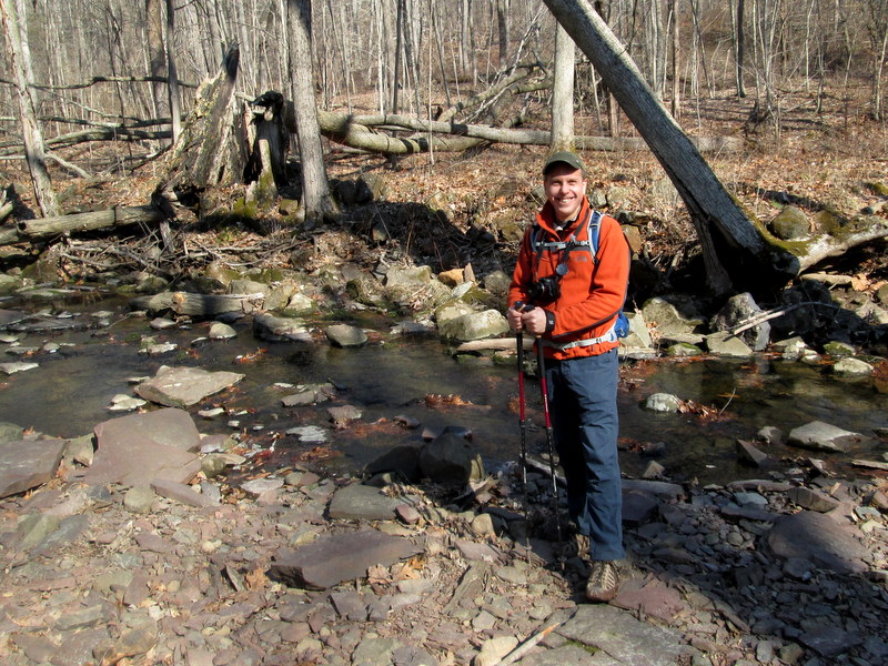
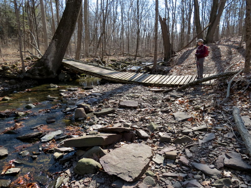
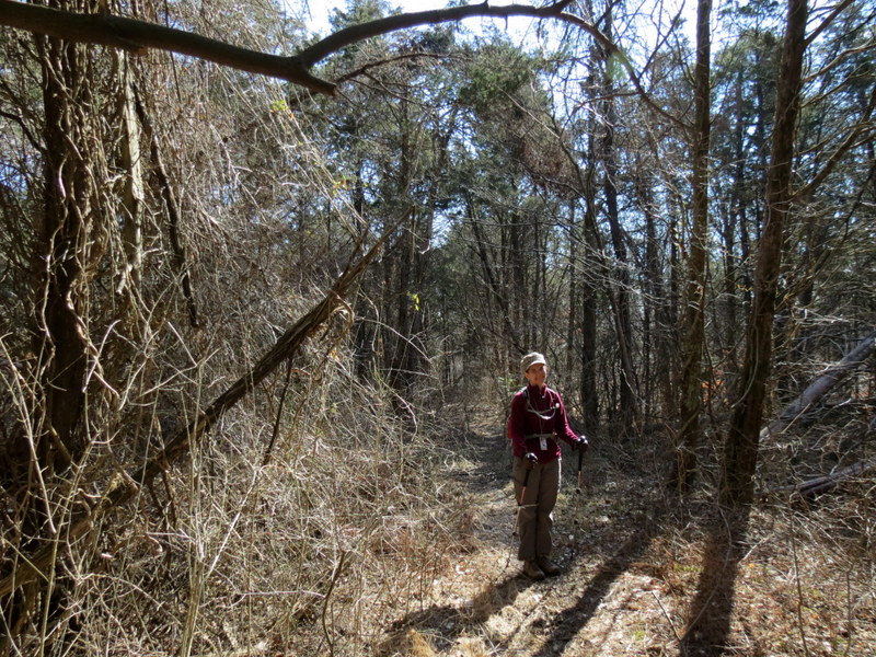
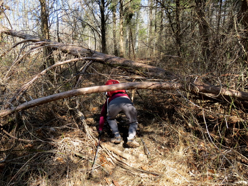
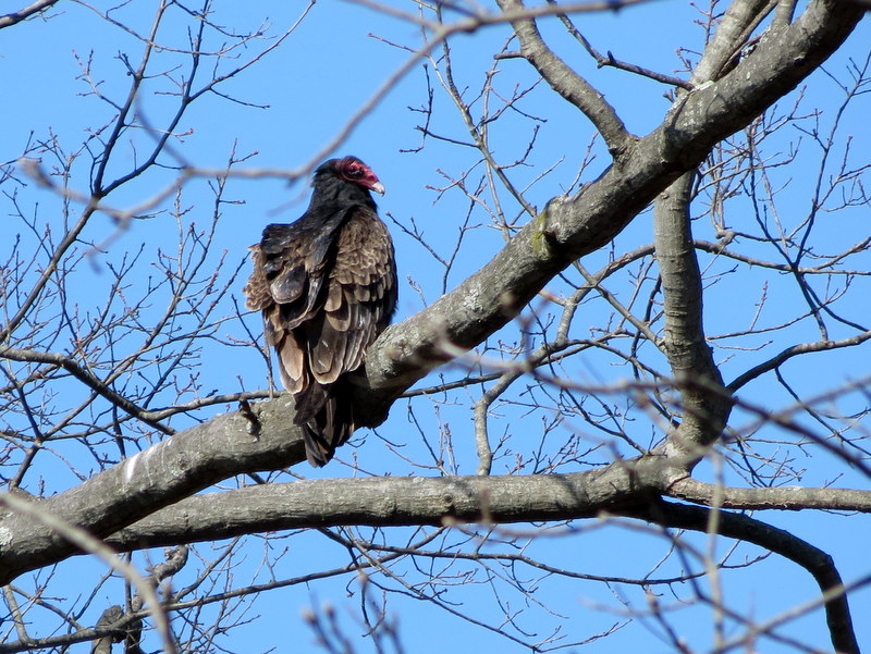
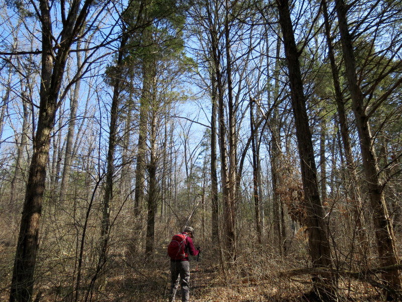
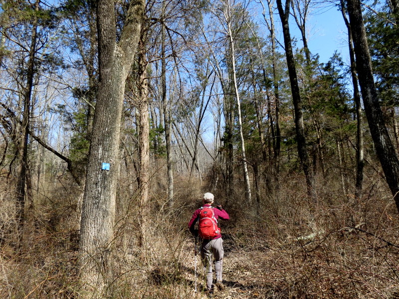
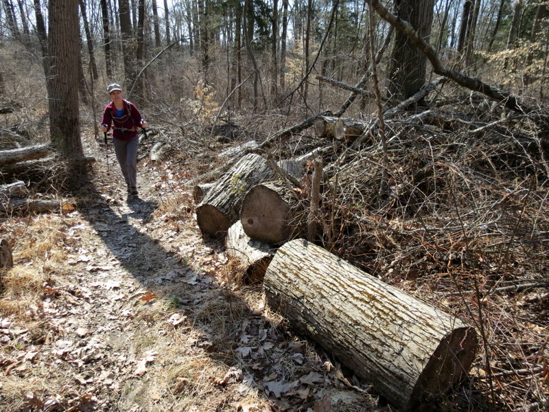
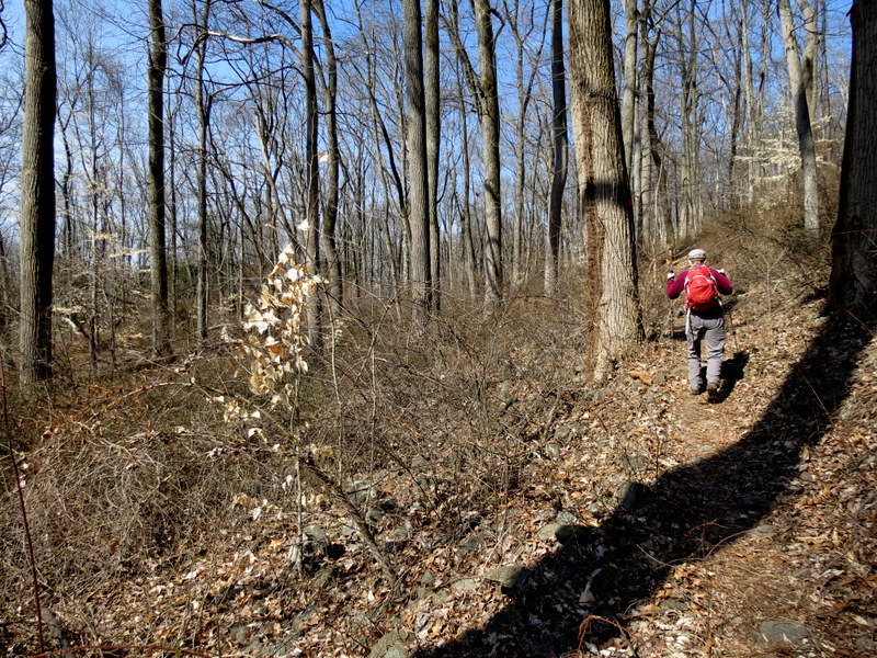
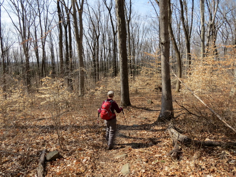
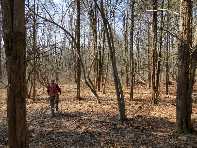
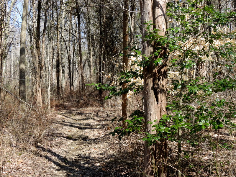
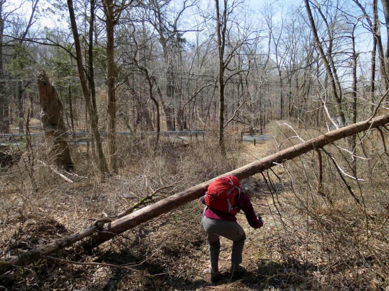
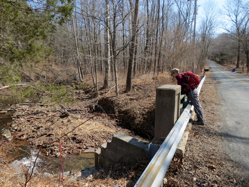
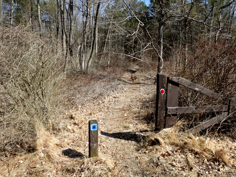
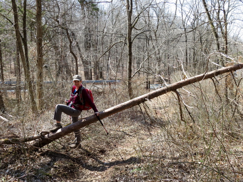
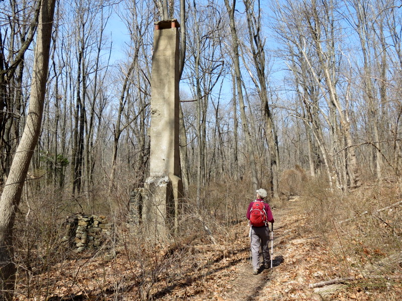
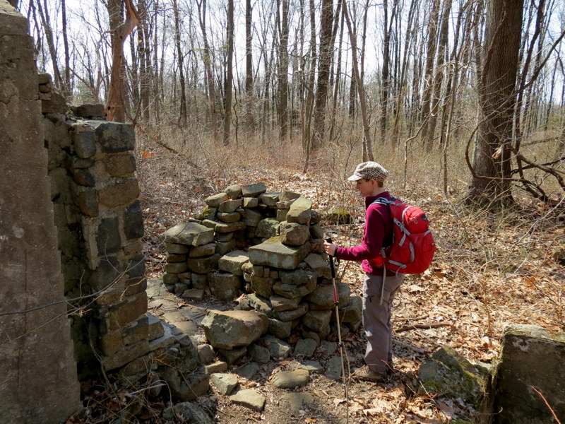
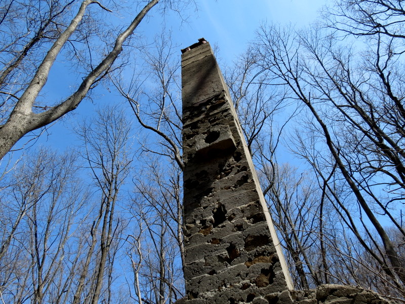
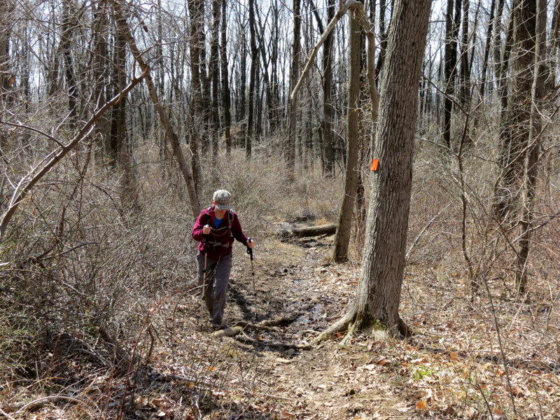
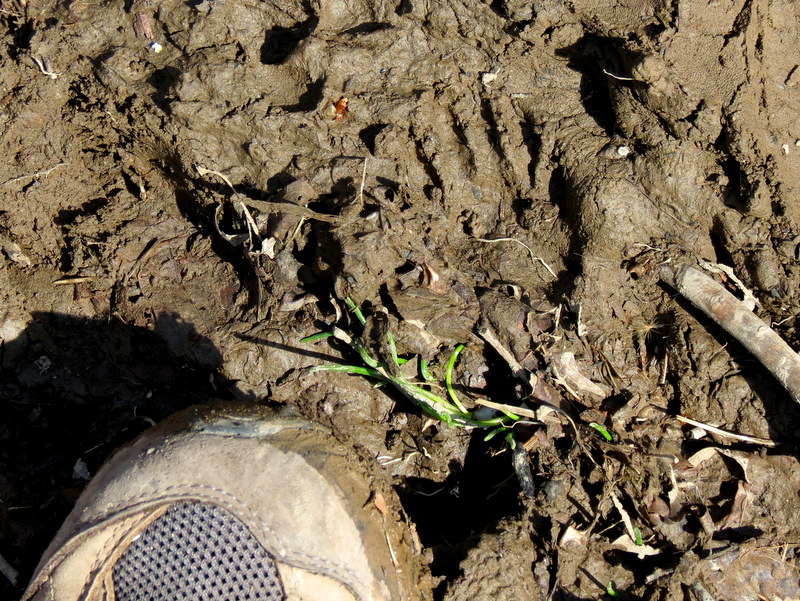
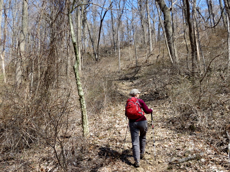
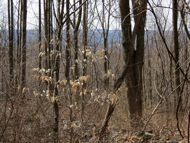
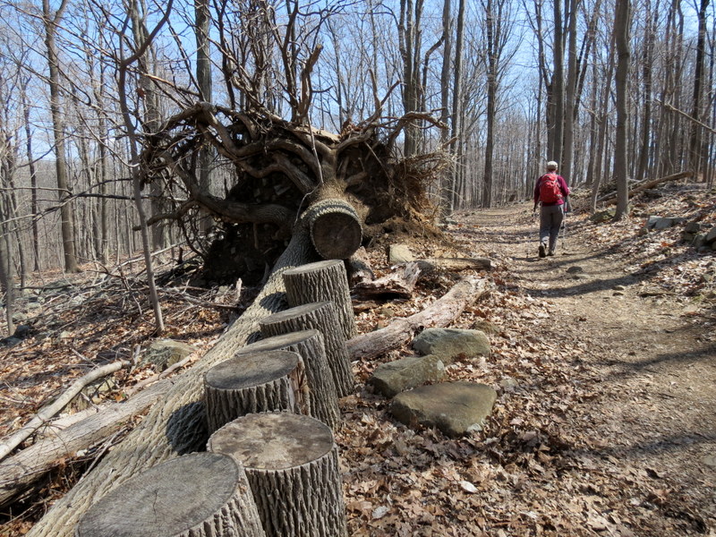
We parked in the lot (enough for at least a couple of dozen cars) off Pleasant Valley road. Then using this map, and more importantly, this detailed map, we headed east on the orange Power Line Trail, then SE on the blue Kuser trail. We continued south on the red Honey Hollow Trail for a very short stretch before heading doing the loop east (Stone Bridge and Hollow Road trails). We continued south on the red Honey Hollow Trail and took it all the way to Church Road. Next we retraced red to the orange Cedar trail which we took north to blue Kuser (littered with blow-downs, all navigable) and finally Honey Hollow for the last time. At its end we headed west on the Cooper Hill Trail then took the Creek Spur trail to its end at Fiddler's Cree Road. Retracing this spur we took Cooper Hill to the Ridge trail (the main trail in the area which conntect the western and eastern sections) and took that east back to the car. Total distance hiked today was 4.1 miles in 2 hours and 45 minutes. And we didn't see ANY snow!
|
 |
 |
 |
 |
 |
 |
 |
 |
 |
 |
 |
 |
 |
 |
 |
 |
 |
 |
 |
 |
 |
 |
 |
 |
 |
 |
 |
 |
 |
 |
 |
 |
 |
 |
 |
 |
 |
 |
 |
 |
 |
 |
 |
 |
 |
 |
 |
 |
 |
 |
 |
 |
 |
 |
 |
 |
 |
 |
 |
 |
 |
 |
 |
 |
 |
 |
 |
 |
 |
 |
 |
 |

|
|
Photographs and content copyright © Dan Balogh Web design by Dan Balogh |