 |
|
This is Hike 1 ("The Army Tunnels")
from the book
Hiking the Road to Ruins with the addition of a 2-3 mile loop to a park high point and a jaunt back using other blazed trails.
The highlight of this hike is undoubtedly the exploration of the abandoned Camp Bluefields, which was built in 1910 as a training rifle range
for the National Guard. It was abandoned for this purpose in 1913 but then used by the YWCA as a camp until 1918 when it once again became a training
facility, this time for soliders during World War I.
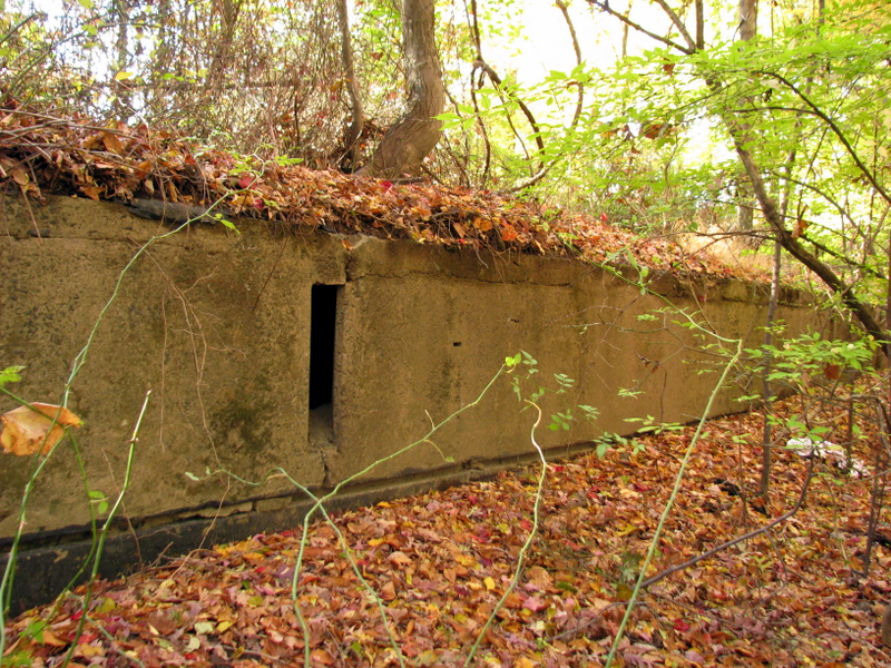
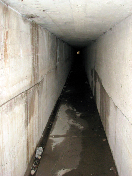
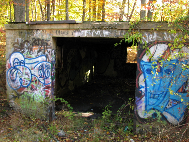
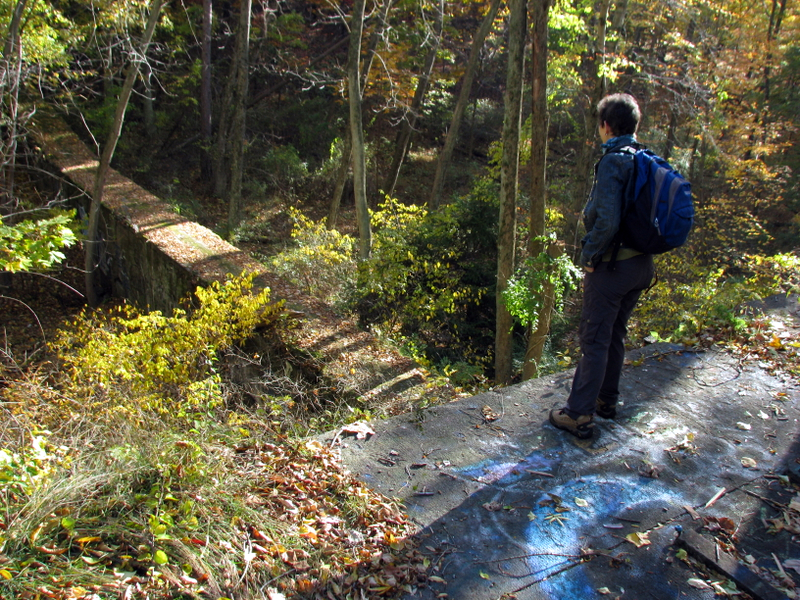
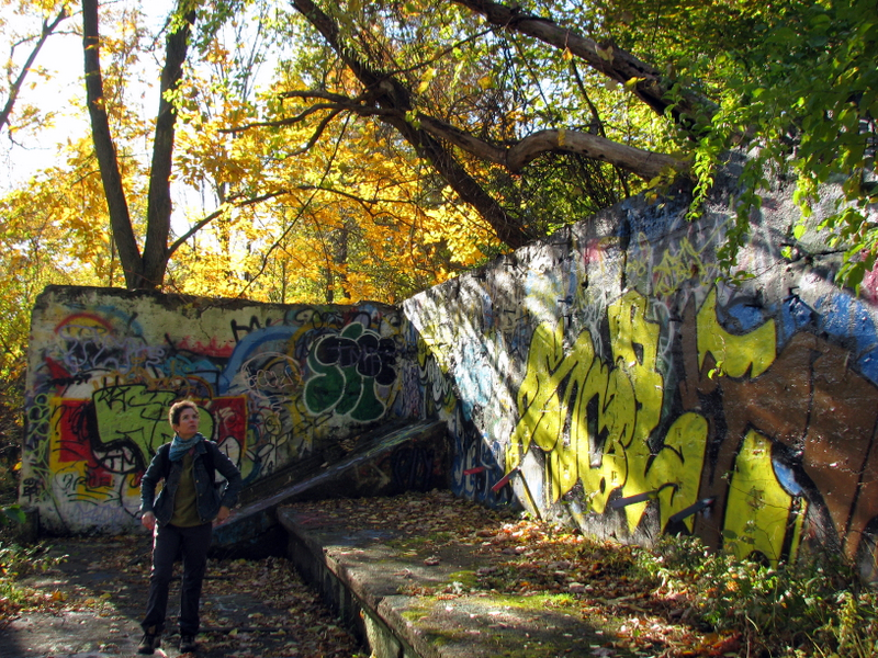
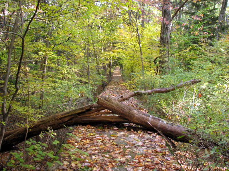
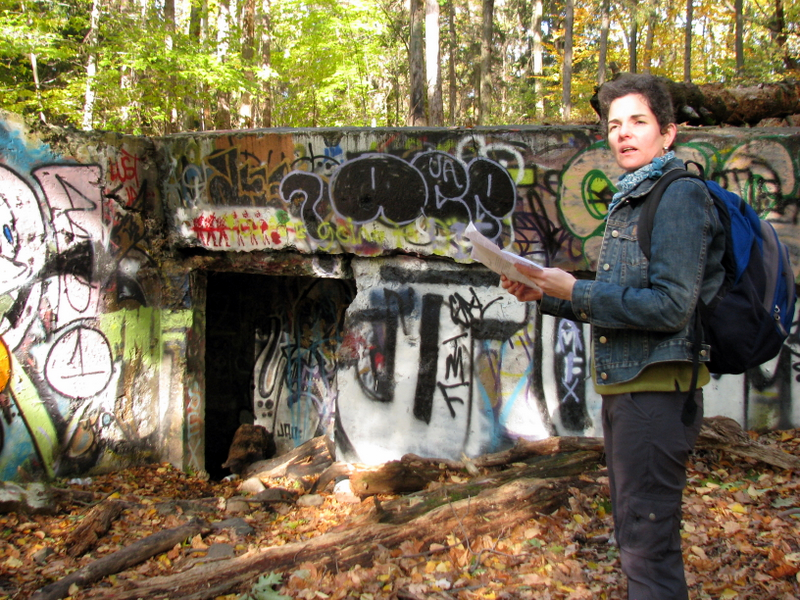
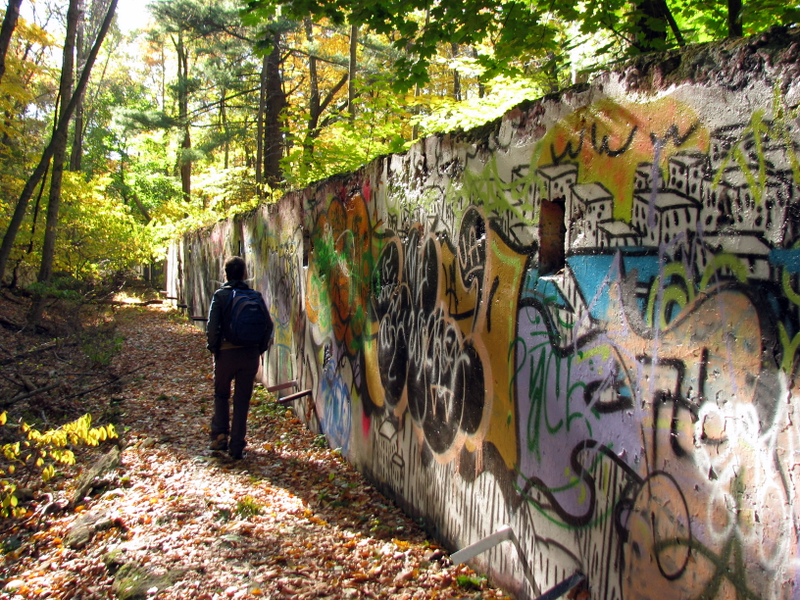
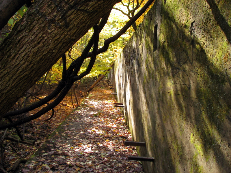
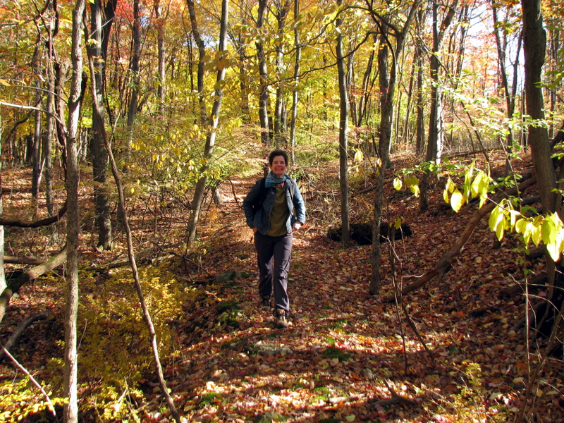
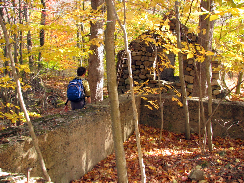
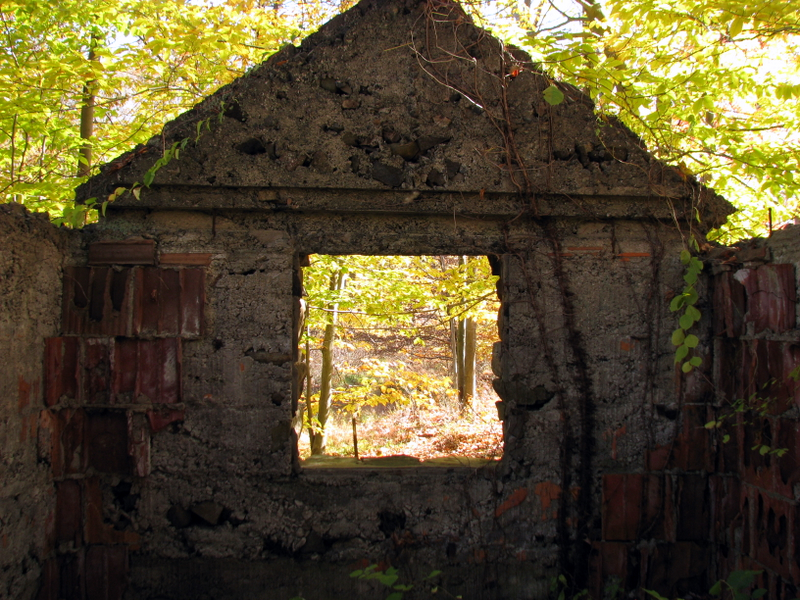
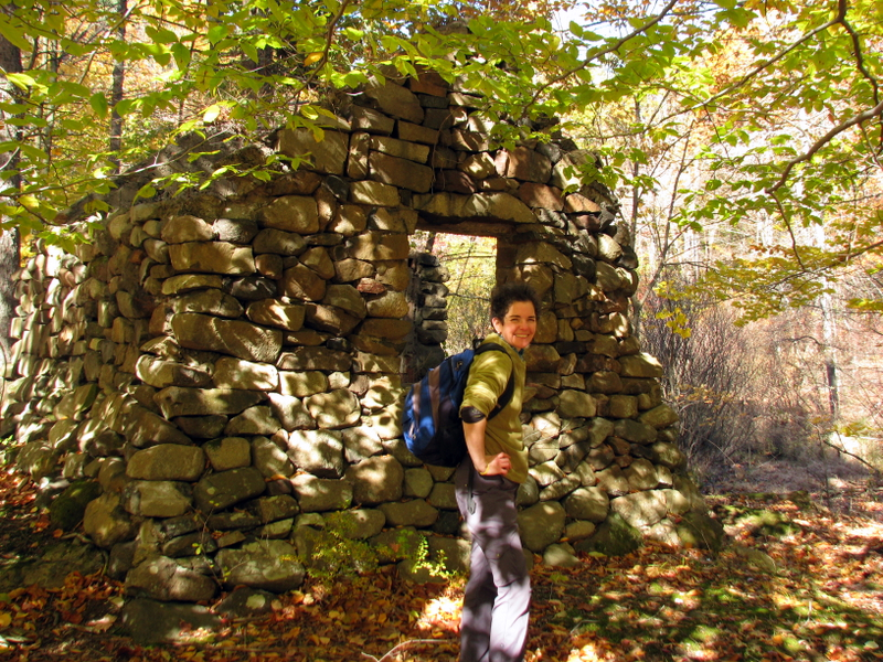
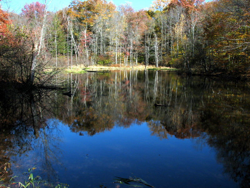
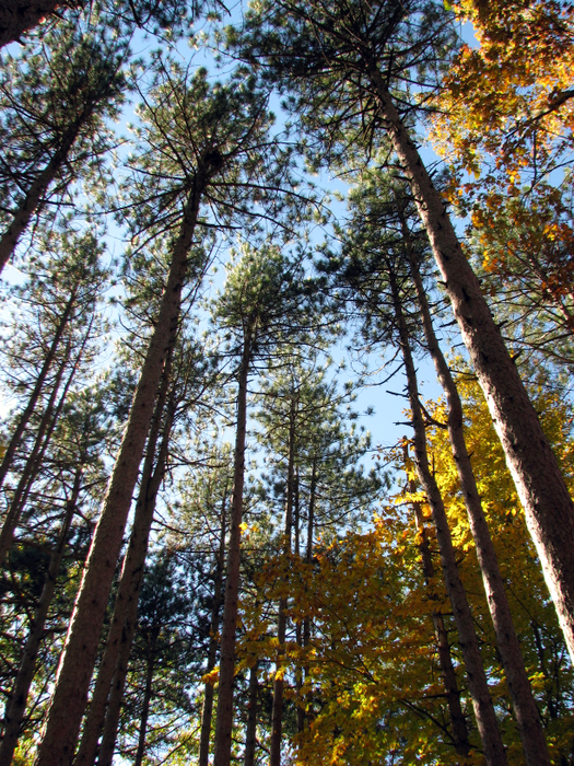
The most fascinating parts of what now remains are the several long target walls, where targets were raised on rails and then shot at, and three tunnels of varying length, built to allow soldiers to get from one area to another without being shot. All the tunnels can still be entered and two of them can actually be walked end-to-end. At points, you can also walk on top of the tunnels which is easier than bushwacking from one point to another. The longest tunnel is at least a quarter mile long, and in almost complete darkness during its entire extent (so bring a flashlight). David Steinberg gives an excellent description of how to explore this area, and we were able to follow his instructions perfectly, spending at least two hours wandering for miles among the ruins. After exploring these ruins, we took the Long Path north about a mile to the high point just east of Tweed Boulevard. We returned via the Red trail (from near the high point), and then the White trail back to the Long Path to the parking area. The trails can be seen on this hand-drawn park map. Total distance traveled was probably seven miles in about 4.5 hours (much of that exploring the ruins).
|
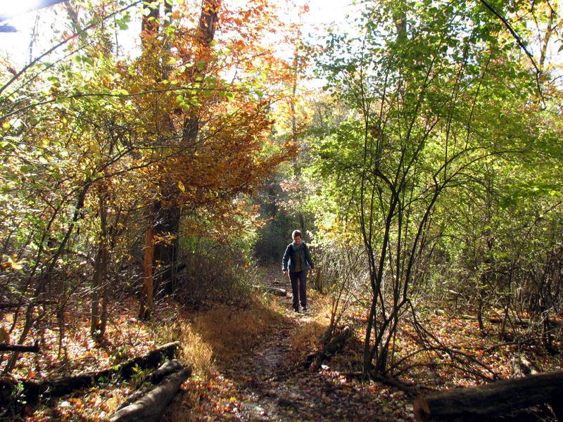
 What a pleasant start! |
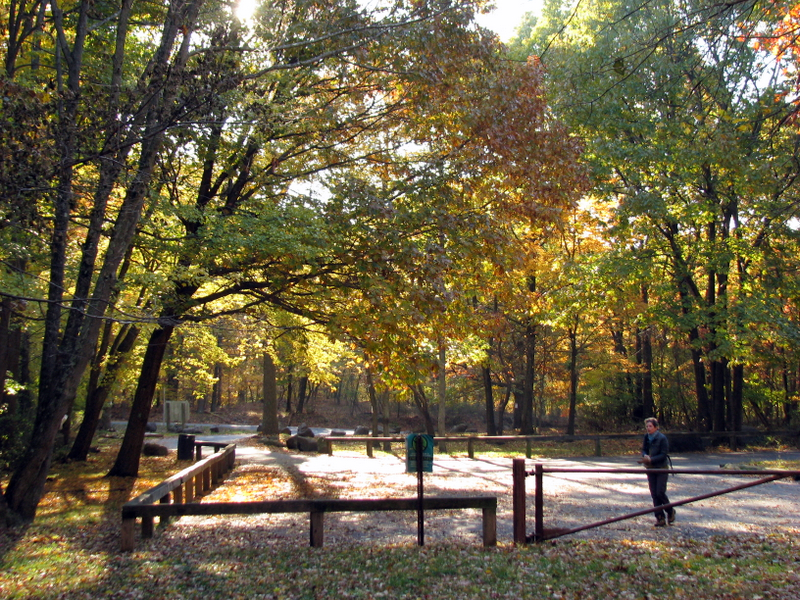 Parking area |
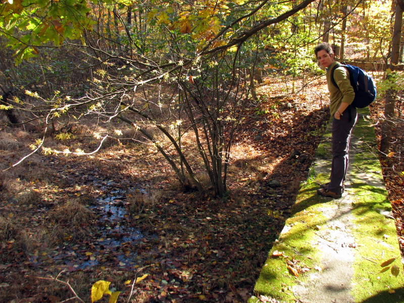
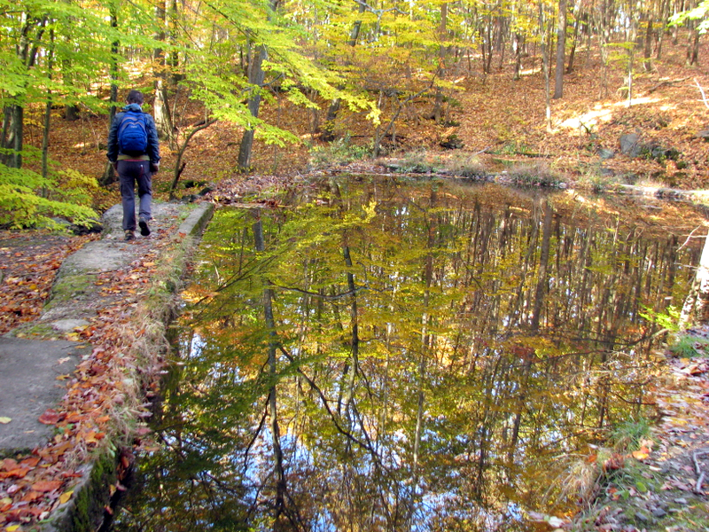 Damned pond |
 |
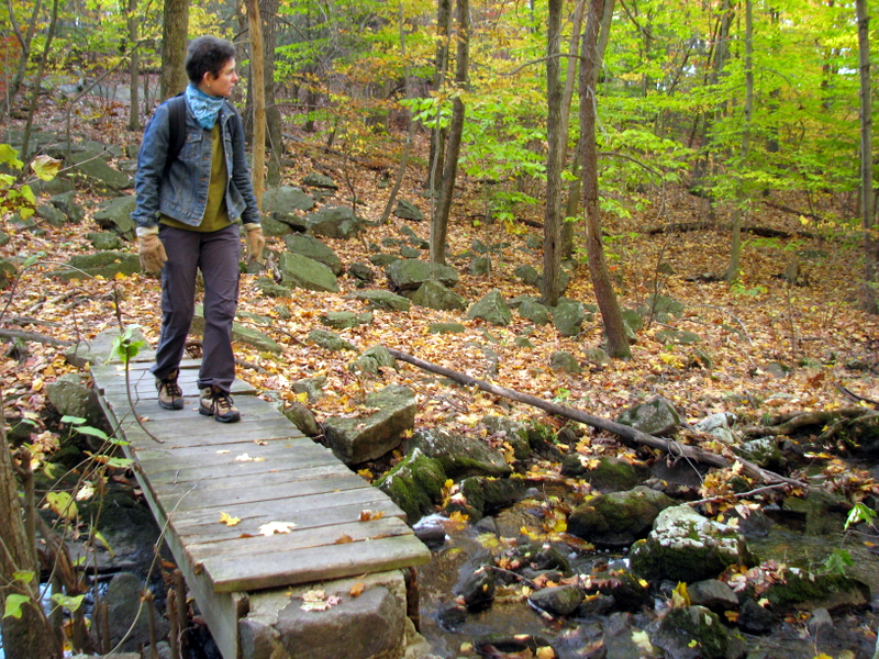
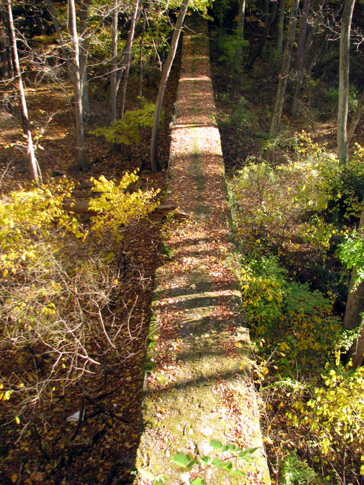
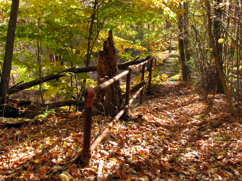
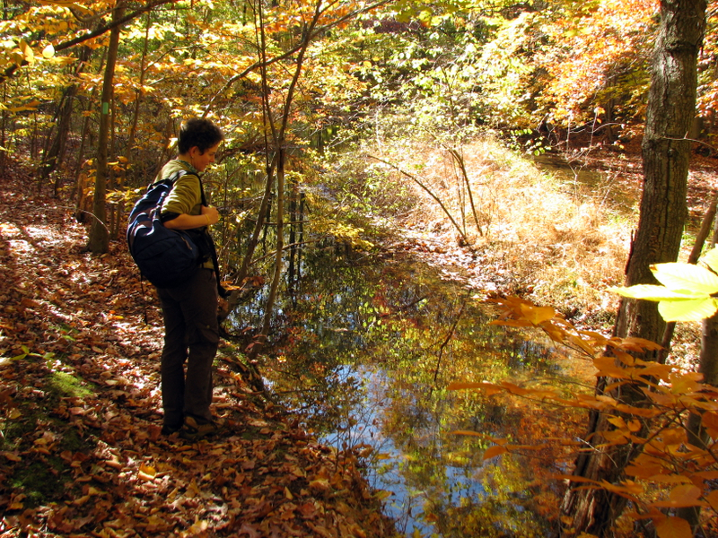
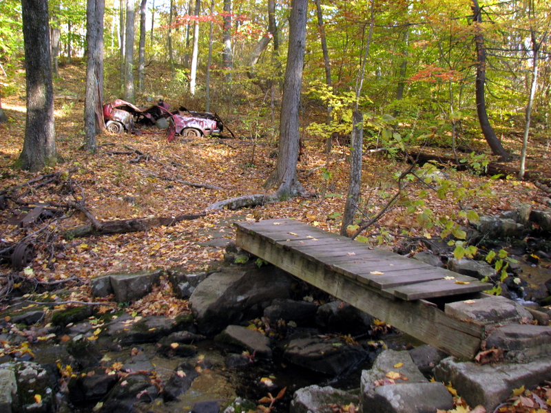 Bridge over creek |
 |
 Abandoned car |
 |
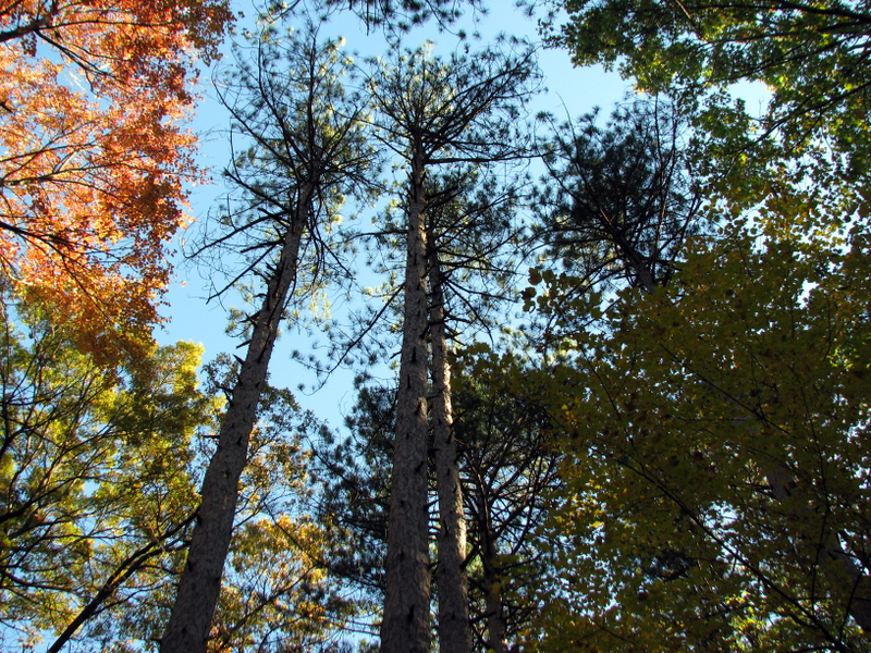
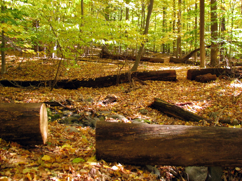
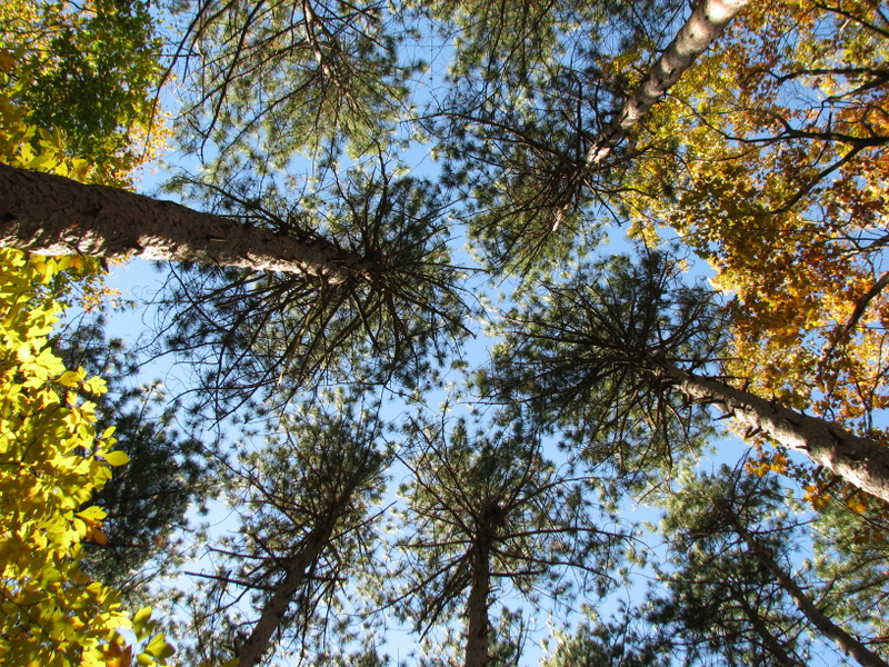
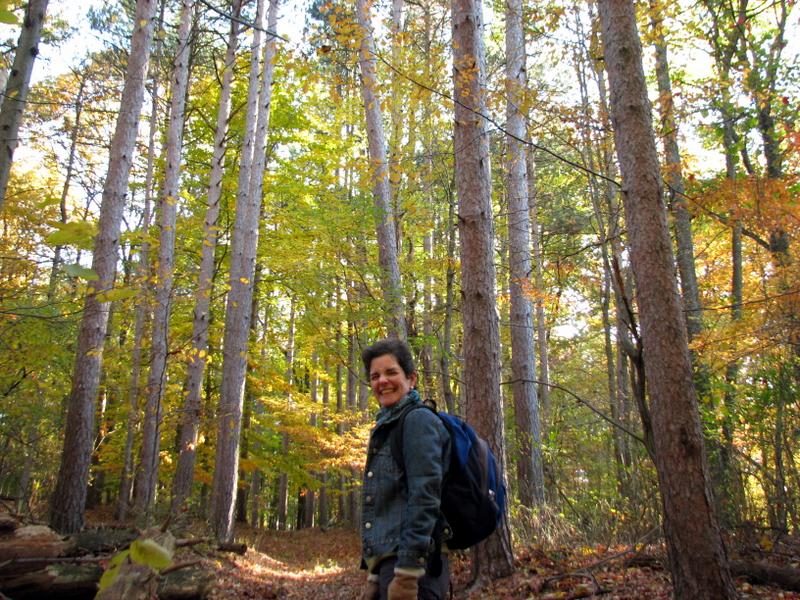 Beautiful pine forest |
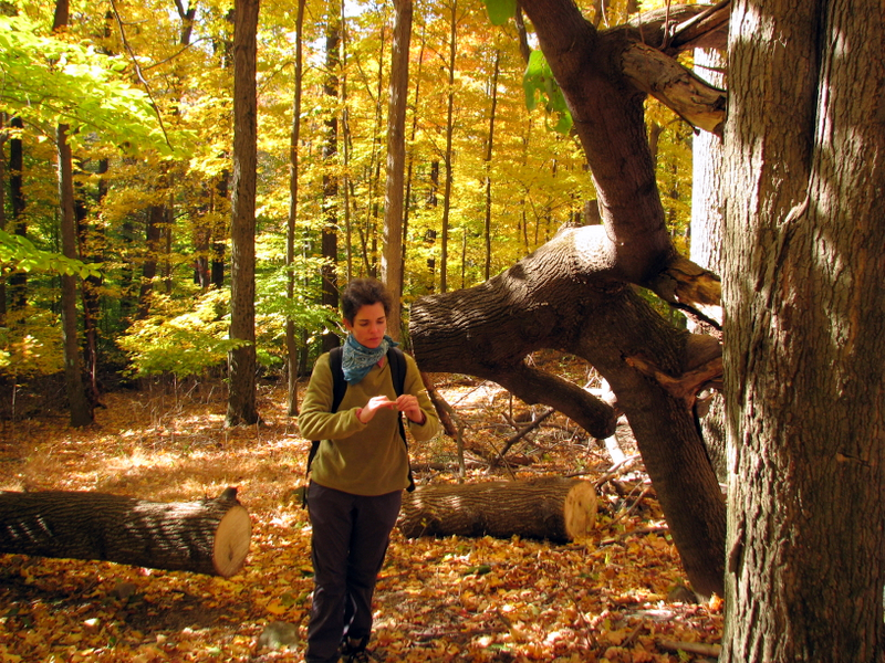
 My favorite tree ... |
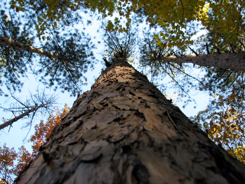 ... the majestic pine |
 |
 First glimpse of middle tunnel |
 Entrance to middle tunnel |
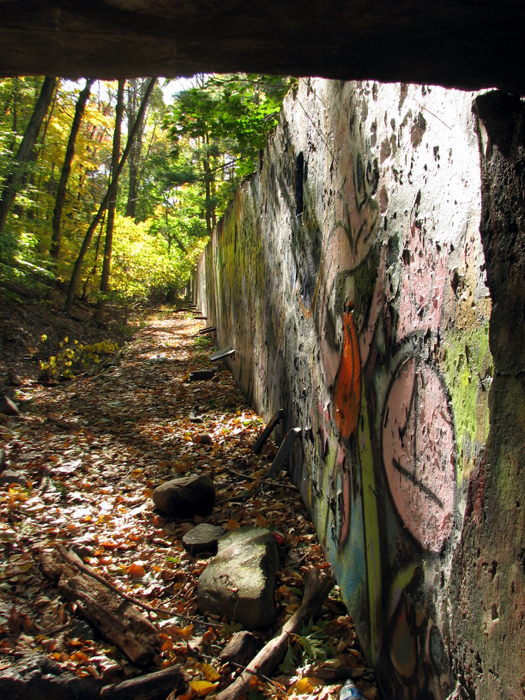
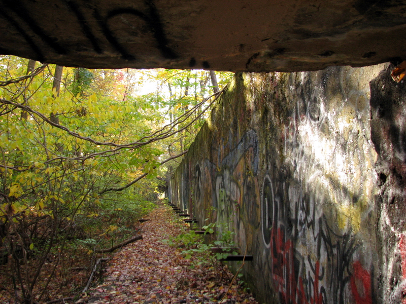 View of target wall from entrance |
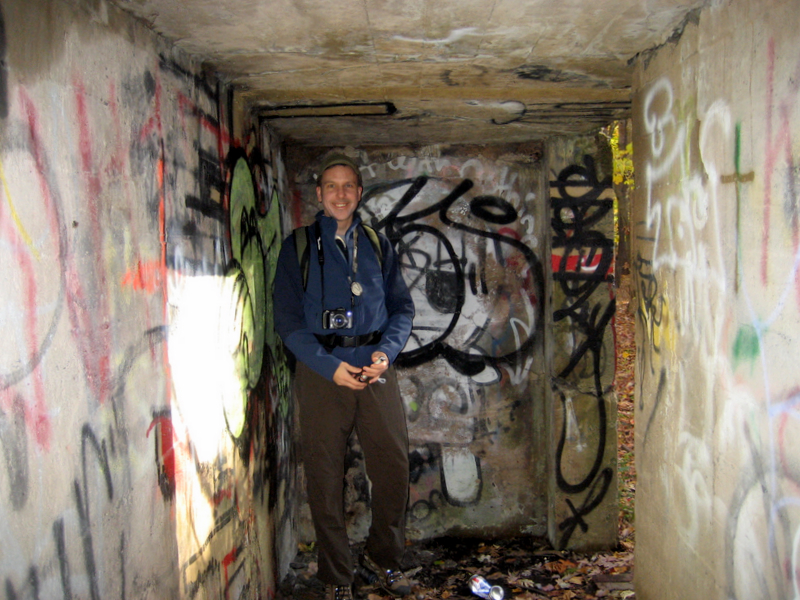
 Laura in middle tunnel |
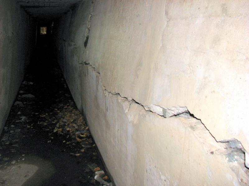
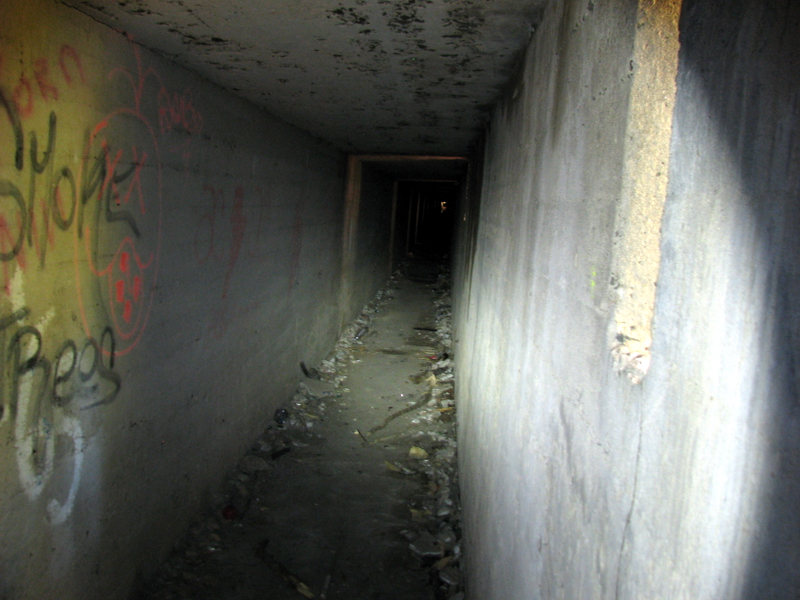 In middle tunnel |
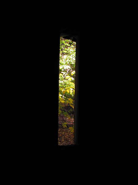 Small slits in tunnel |
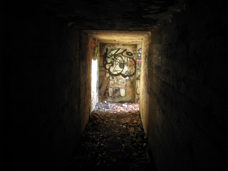 View to the entrance |
 Woah! That spider is huge! |
 Tunnel crickets abound |
 Proceeding down middle tunnel ... |
 ... we encountered a flooded collapse ... |
 ... so we went back to the entrance |
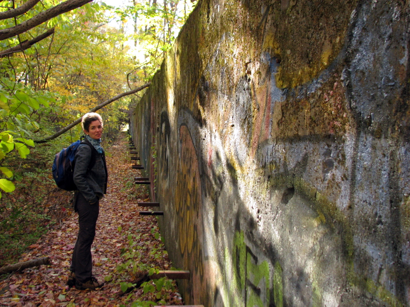 Target wall outside middle tunnel |
 Blockhouse opposite middle target wall |
 Near eastern tower looking down to tunnel |
 View of eastern tunnel from tower |
 |
 Below first target wall |
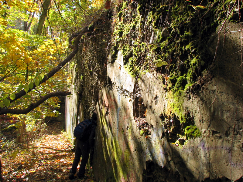 Laura peering inside wall hole |
 Eastern tower from below |
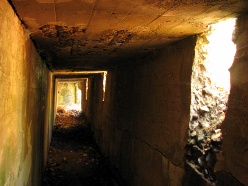
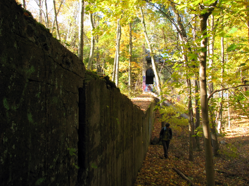 Walking along eastern tunnel |
 On top of eastern tunnel |
 Huge tree crashed on tunnel |
 At entrance to eastern tunnel |
 Eastern tunnel entrance |
 Eastern tunnel target wall |
 |
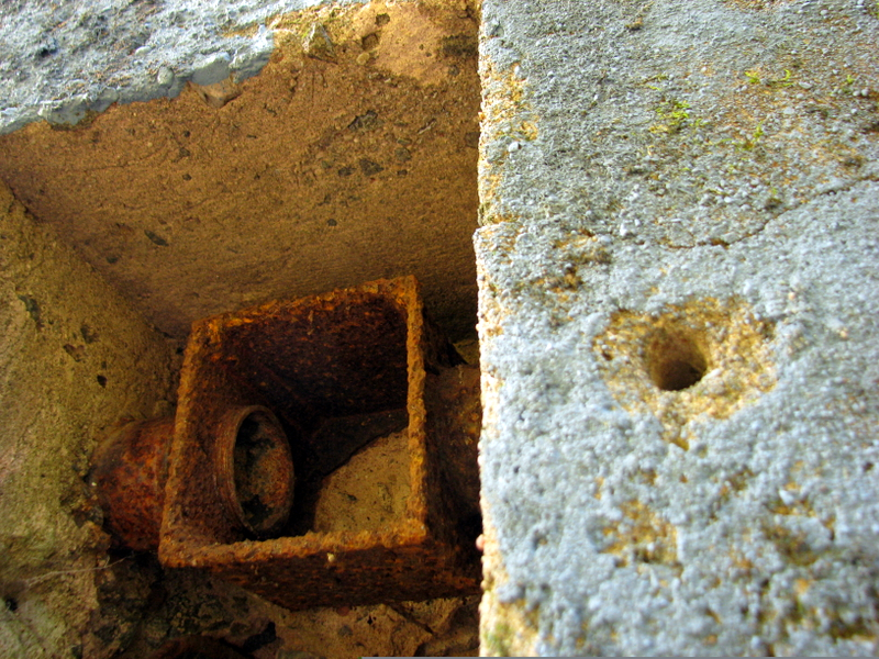 Close-up of electrical recess |
 |
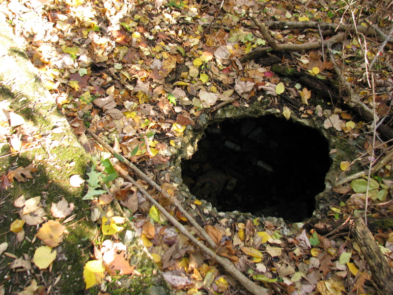 Hole in ground ... not today! |
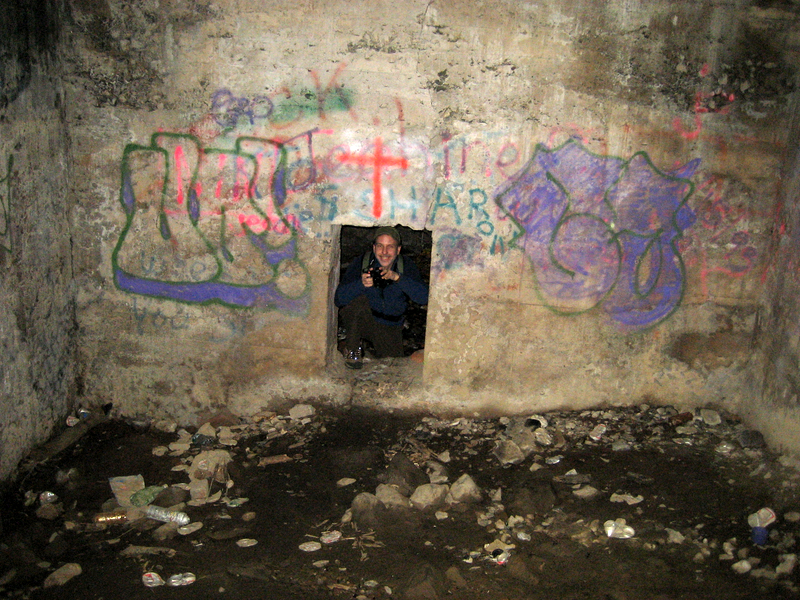
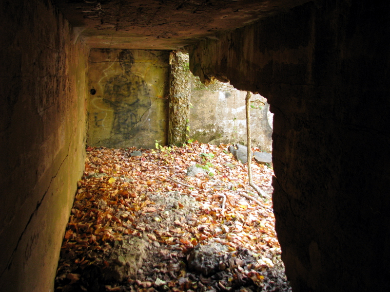
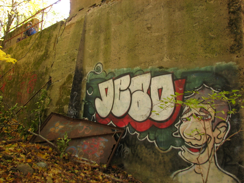
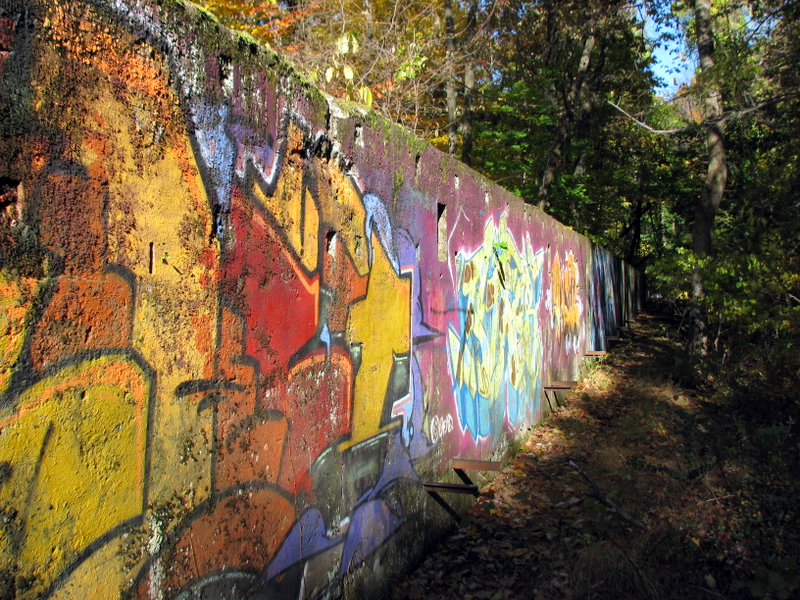 Graffiti is all over |
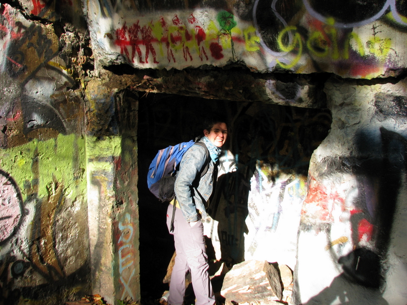 Entering eastern tunnel |
 In eastern tunnel [photo by Laura] |
 View of target wall from eastern tunnel |
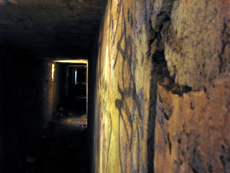 Inside eastern tunnel |
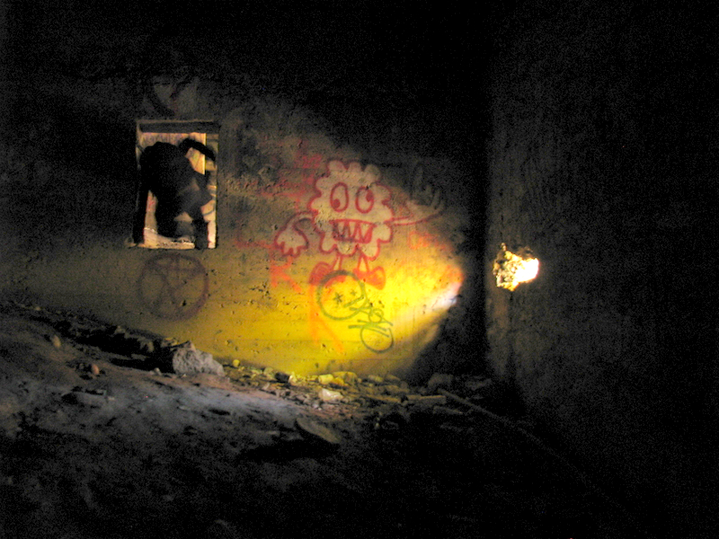 Laura climbing into room under eastern tower |
 Another room below tower |
 [Photo by Laura] |
 Northern-most room under eastern tunnel |
 Climbing out of wall hole |
 Laura on top of western tunnel |
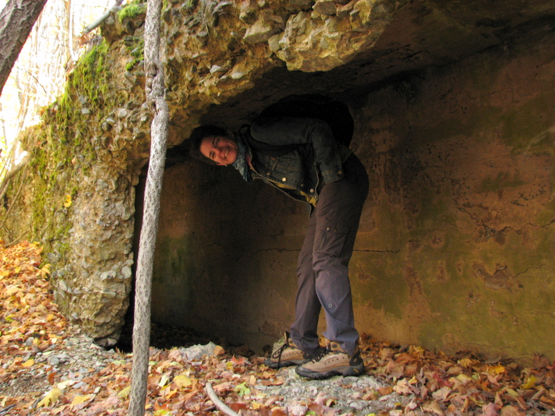
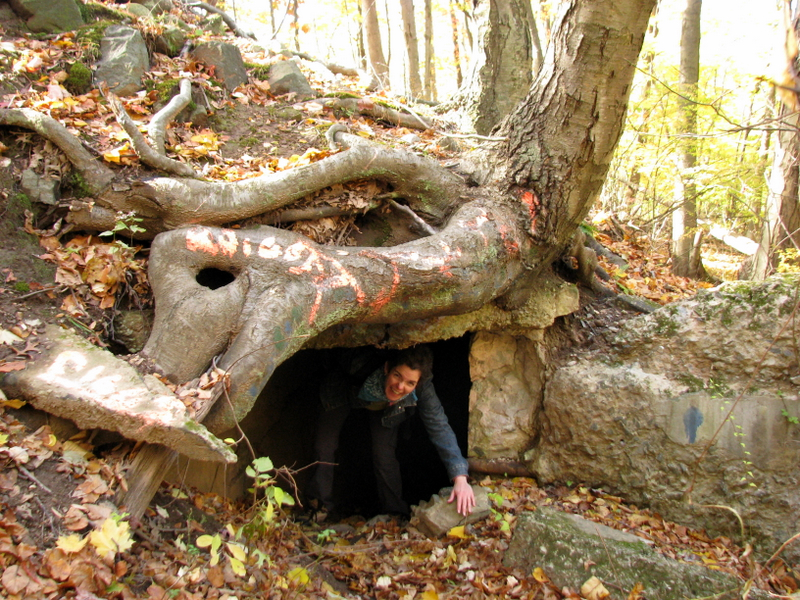
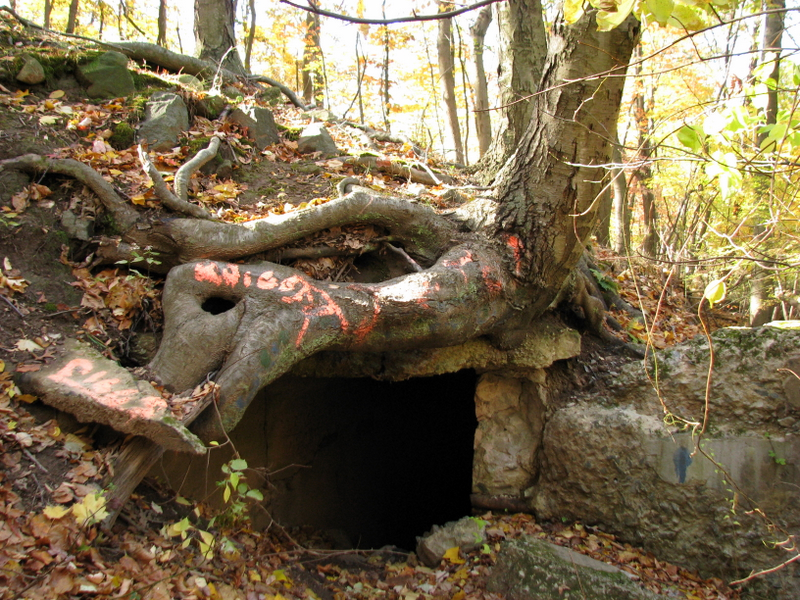 Root entrance to western tunnel |
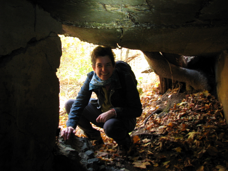 Laura about to enter western tunnel |
 Western tunnel is about to implode |
 View to end of western tunnel |
 Exit of western tunnel |
 Laura at exit |
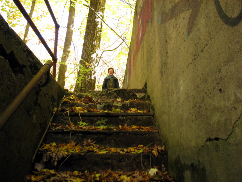
 Stairs to first pit |
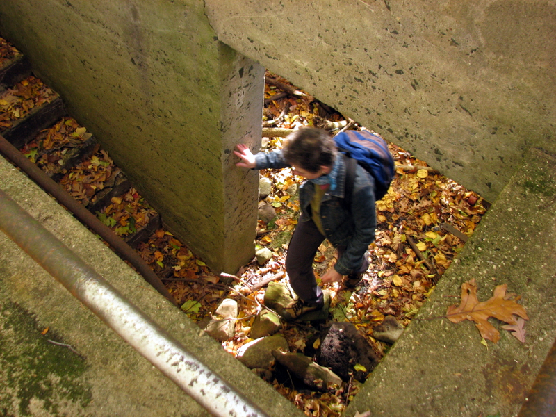
 Looking up from first pit |
 Inside first pit |
 View from above |
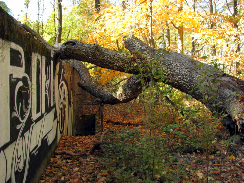 Collapsed tree near second pit |
 Graffiti on wall near pits |
 Beneath western tower |
 View from below |
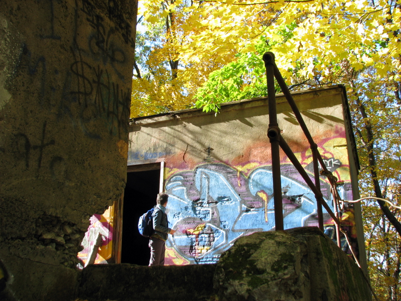
 Western tower |
 Back through western tunnel |
 Laura climbing out of western tunnel |
 On the western tunnel |
 Done exploring, back on Long Path |
 |
 |
 |
 High Point on Long Path |
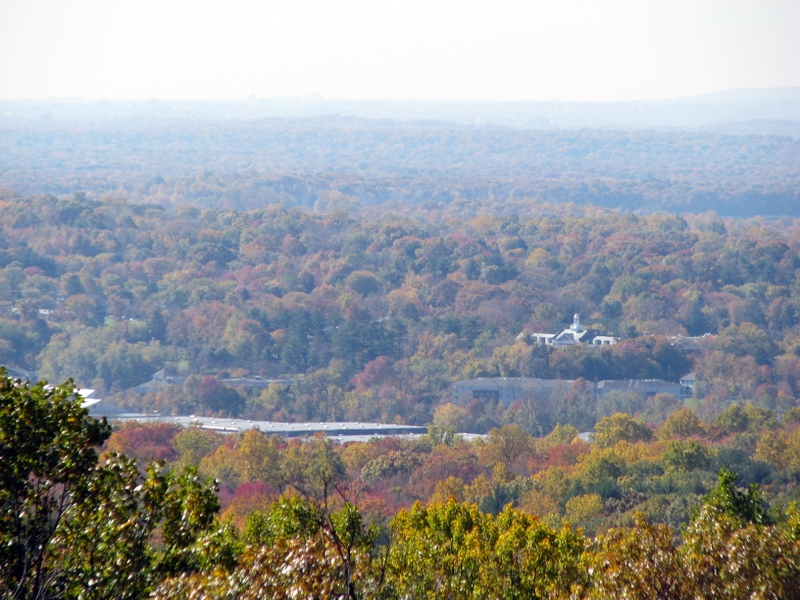 View west from Long Path |
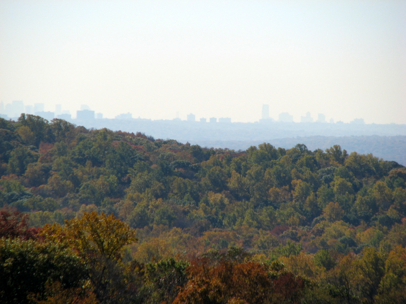 Manhattan skyline |
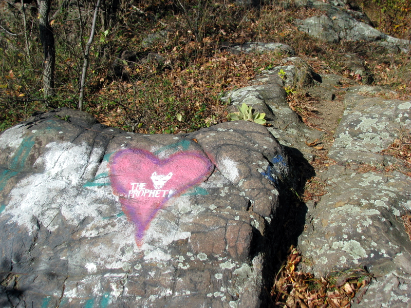 Graffit at high point |
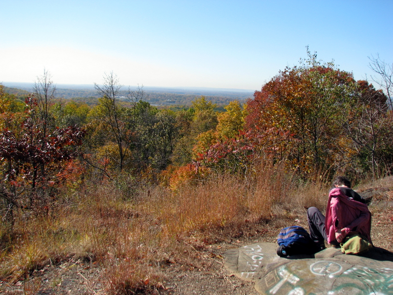 Our lunch spot |
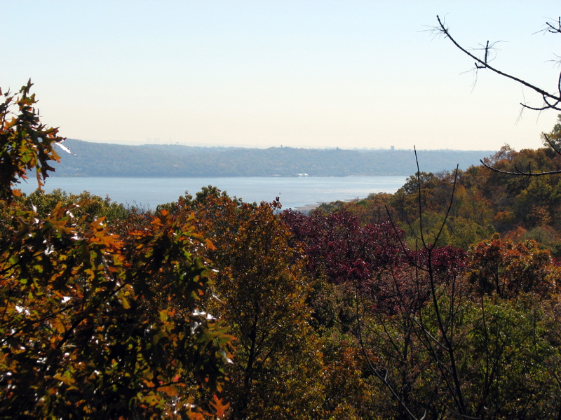 View of Hudson River |
 On the White trail |
 |
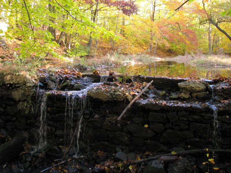
 Damn crossing on Orange trail |
 On top of Orange trail damn |
 Ruins ... |
 ... on Orange trail ... |
 ... which suddenly ends |
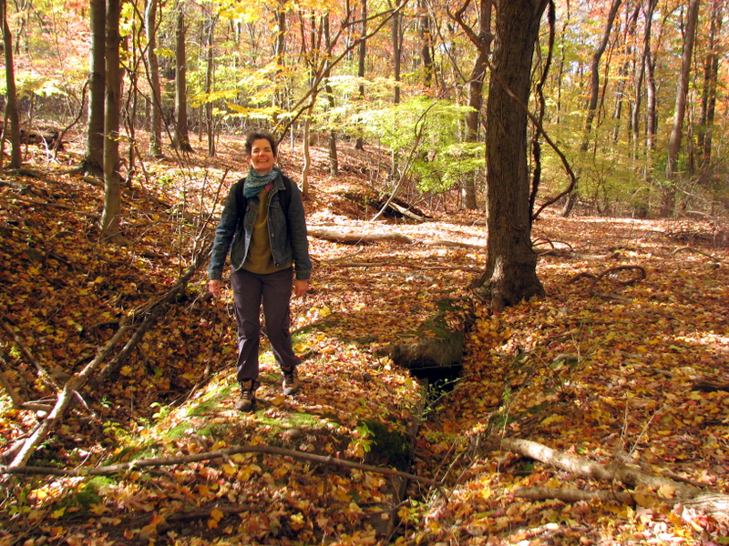
 Pond on Orange trail |
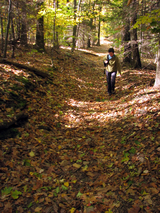
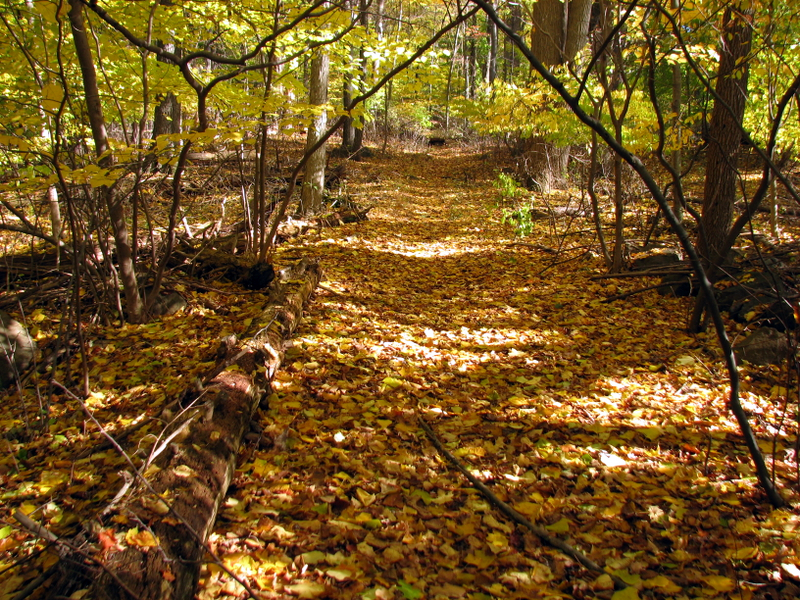
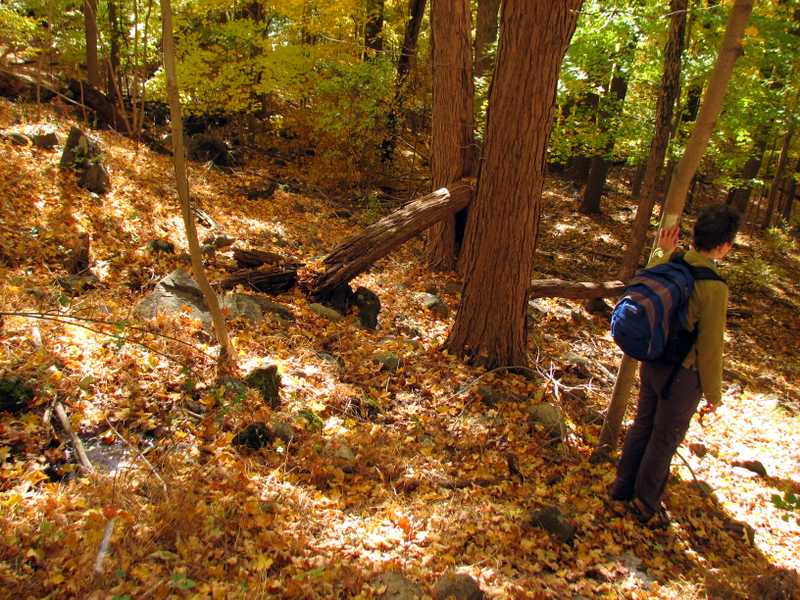
 Back to the pines of the LP |
 |
 |

|
|
Photographs and content copyright © Dan Balogh Web design by Dan Balogh |