 |
|
It was totally overcast this morning, without the slightest hint of sun. In addition, the trails and trees were soaked after the rains, heavy at times, from
the past few days. What's the result of all of this? Answer: the absolute best conditions for outdoor photography you can imagine! Oh my, how the forest comes alive
in such conditions: diffuse lighting bouncing from wet reflective surfaces. I posted nearly 80 photos for a hike that took a bit over 90 minutes. I don't know
if the Burnett Brook Natural Area is normally this beautifiul, but this morning it was an absolute jewel!
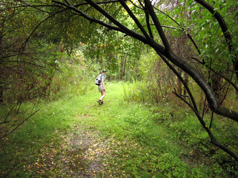
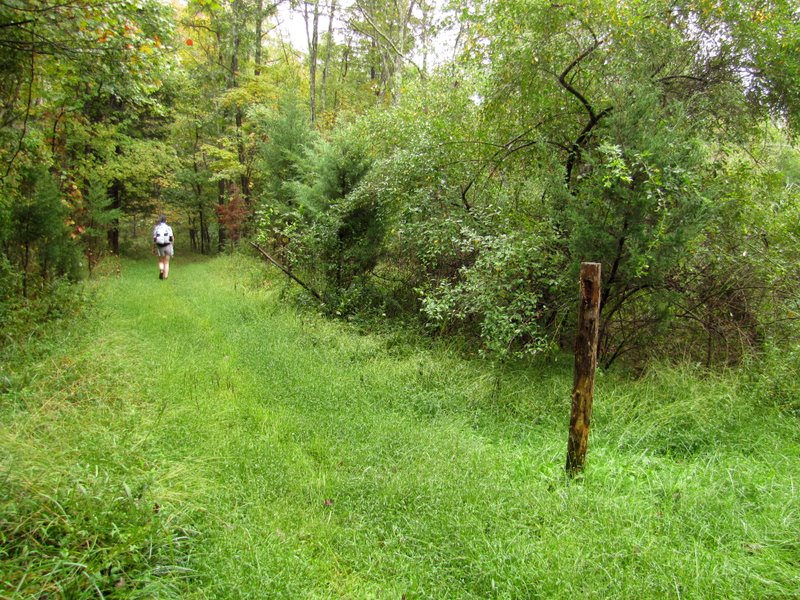
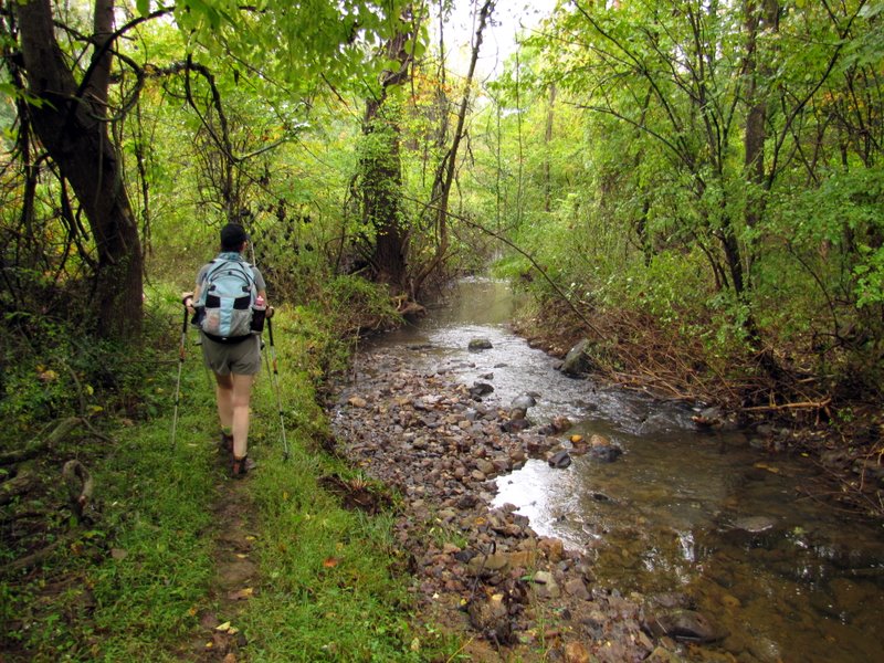
Using this map, we did the barbell-shaped hike covering nearly every inch in the park (except for less than 0.1 mile along the northern bank of Sterling's Pond). We parked on Mt. Paul Road and headed to Sterling's Pond on the eastern leg. This was the most scenic part of the hike, since it parallels Burnett Brook which flows (at times) along both sides of the path! We then continued south on Mt. Paul Road where not a single car passed, since the narrow road serves merely as access to a small handful of residences further in. We took the southern loop in a counter clockwise direction, visiting the fascinating Shale Pit (marked on the map) before returning to Mt. Paul Road. We then continued north completing the northern loop back to the car. One of the highlights of the area is the fact that many many trees have idenfication signs on them. There's no better way to learn which tree is which than by seeing it right there in front of you. Total distance hiked today was just over 2.2 miles in about 1.75 hours.
|
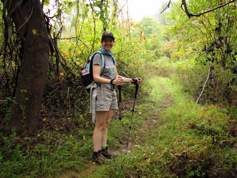
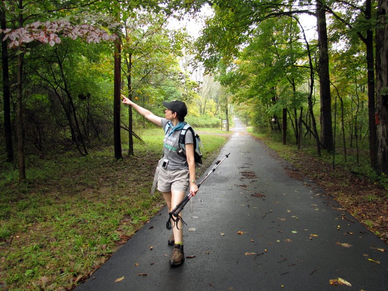
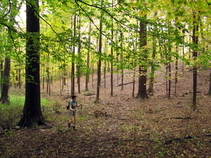
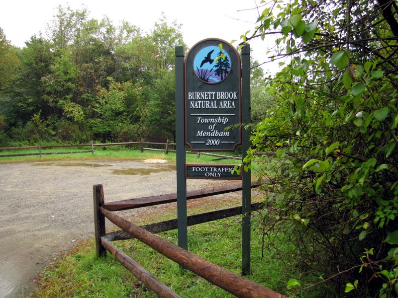 Mt. Paul Road trail head |
 |
 |
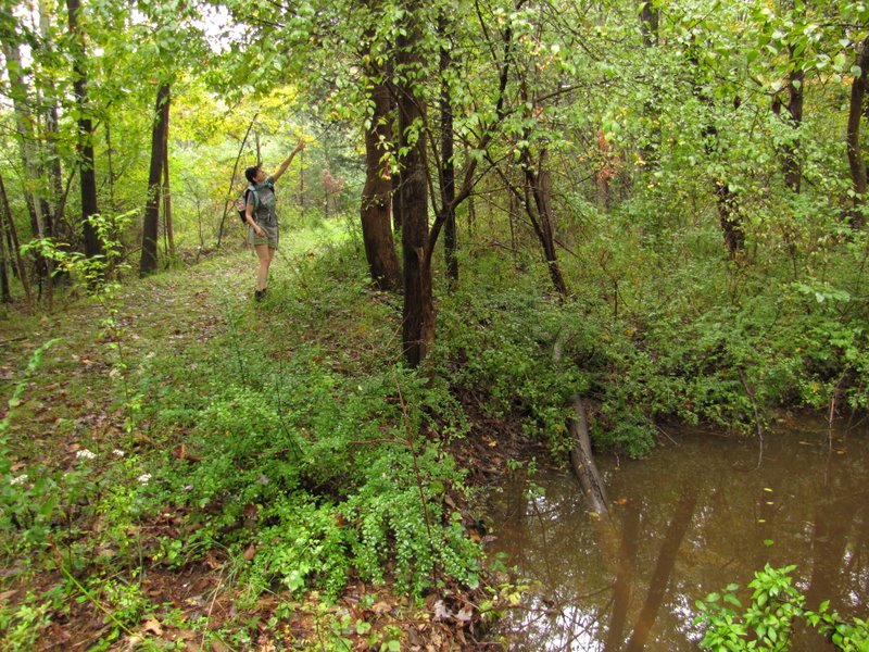
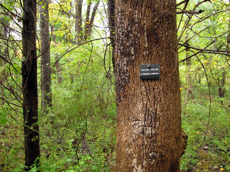 Yellow Poplar |
 Small swamp |
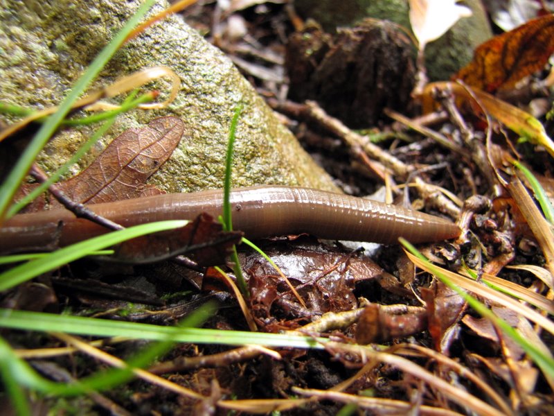 Large worm |
 |
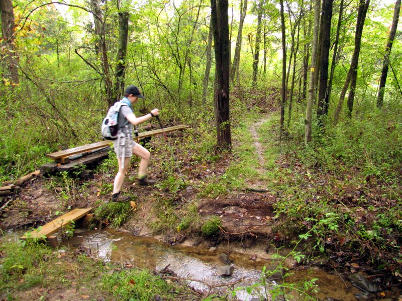
 Bridge remains? |
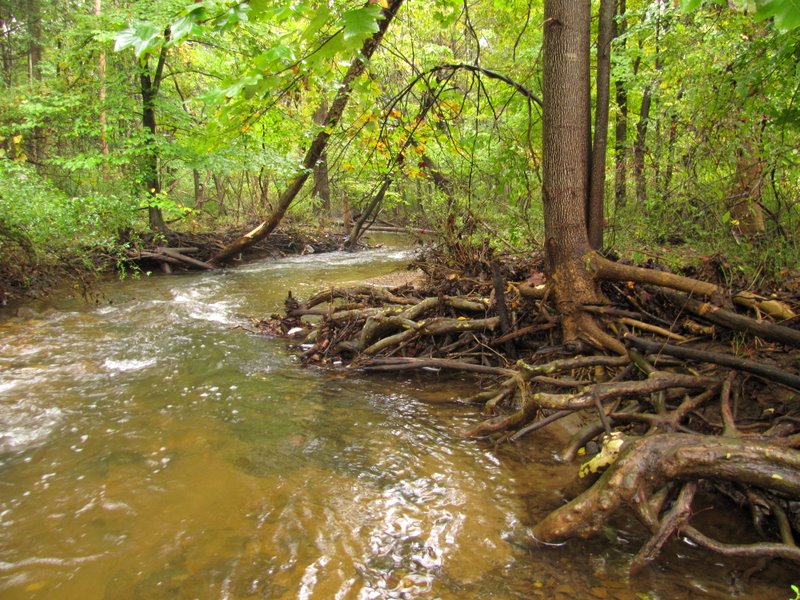
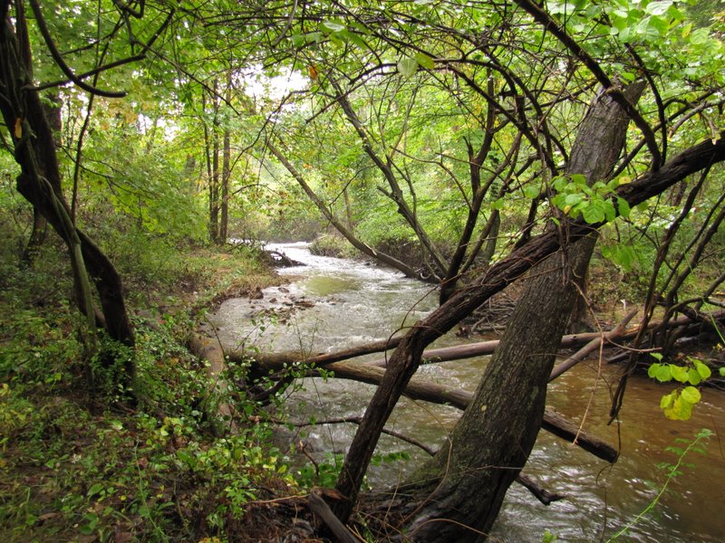
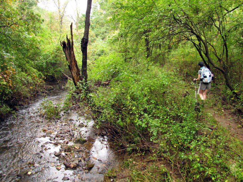
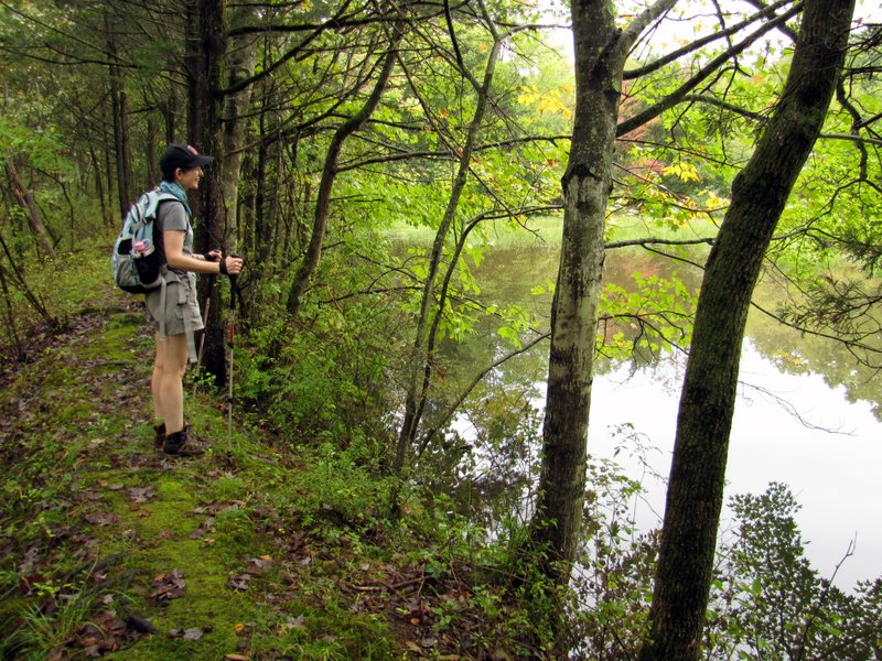
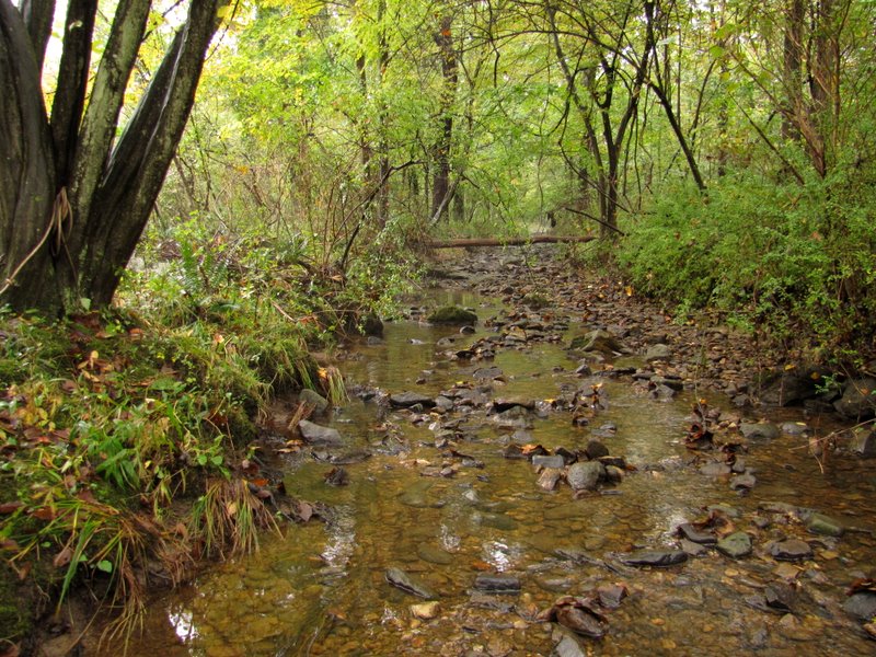 Burnett Brook ... |
 ... parallels the trail |
 |
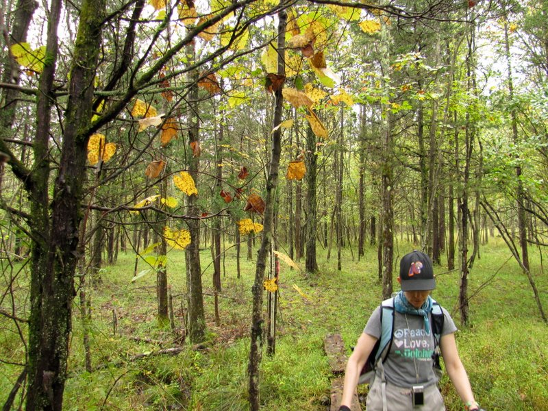
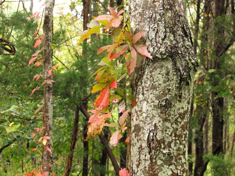
 Very early ... |
 ... fall foliage |
 |
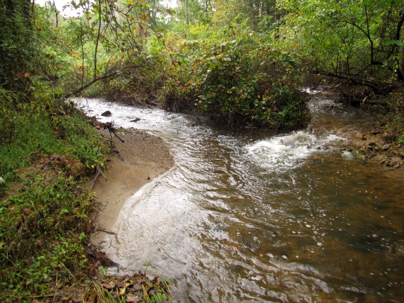 Two flows converge |
 Burnett Brook |
 |
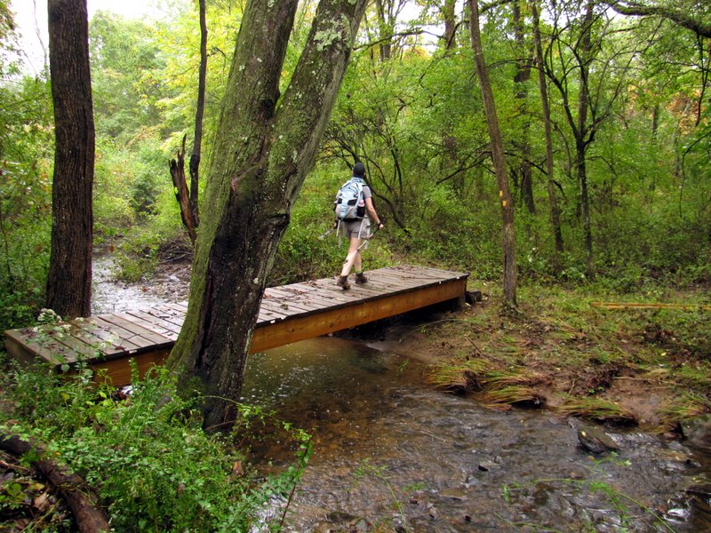 Sturdy bridge |
 |
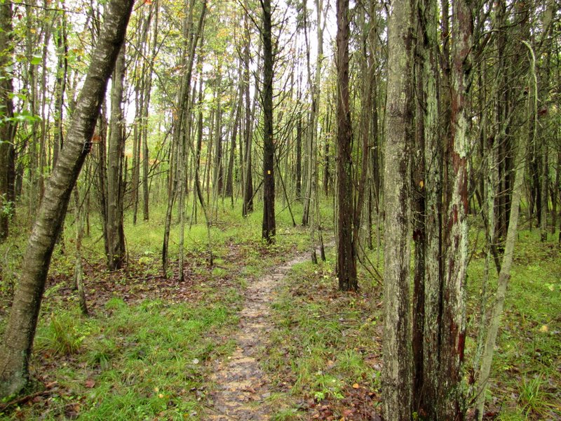
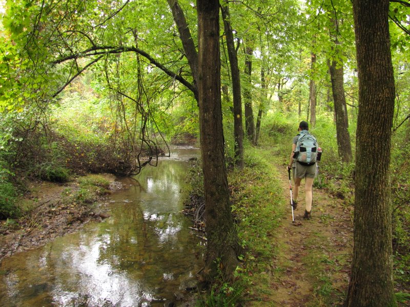 Beautiful trail |
 Beautiful brook |
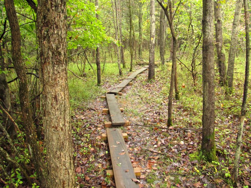
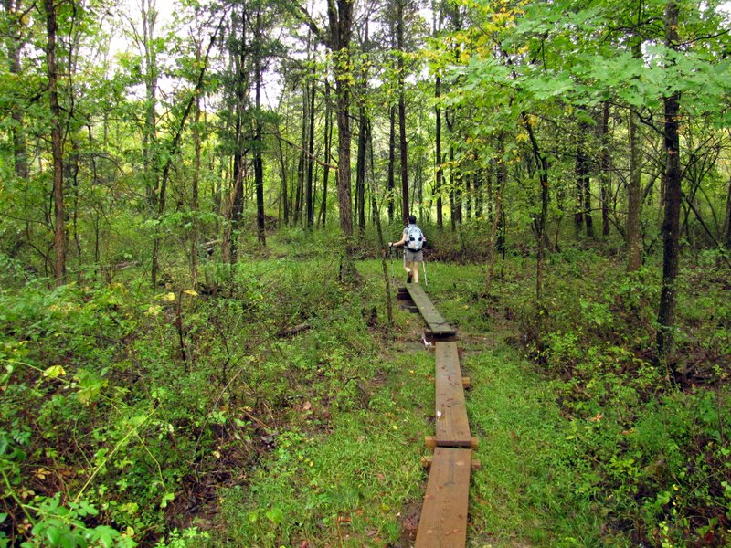 Boardwalks along wetter parts |
 |
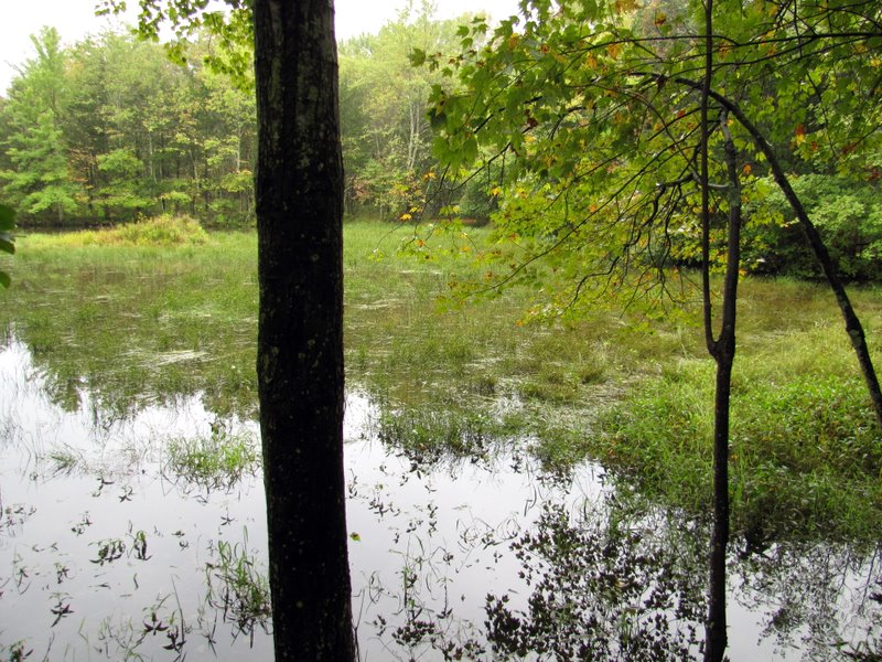 Stirling's Pond ... |
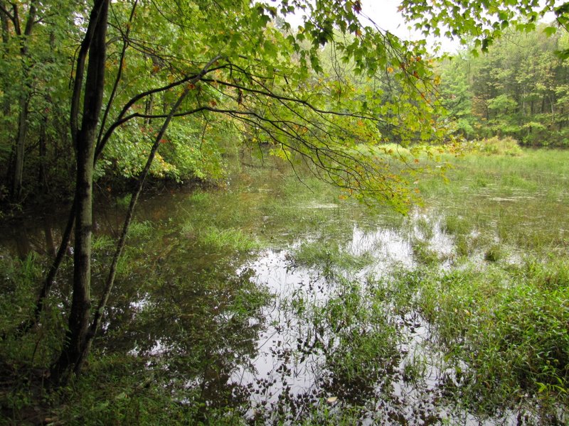 ... was created ... |
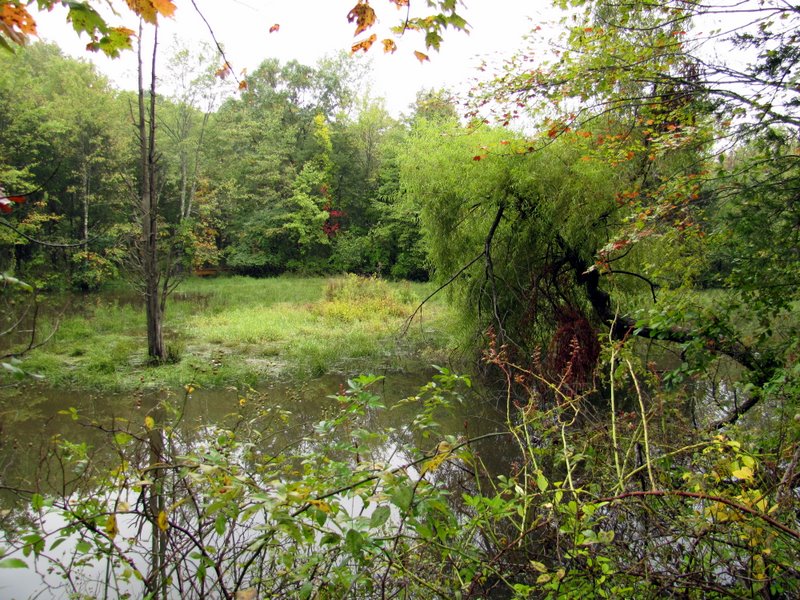 ... for ice skating |
 Rain drops |
 |
 On southern bank |
 Lovely red cedars |
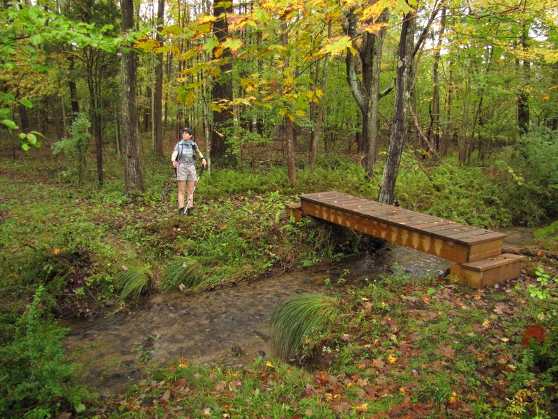
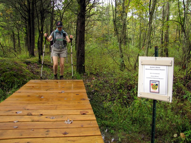 Another sturdy bridge |
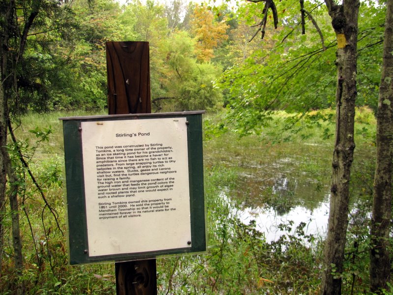 Story of the pond |
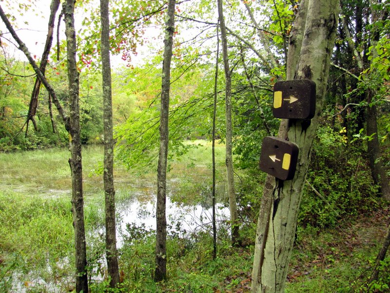 Trail intersection |
 |
 |
 |
 Another red cedar |
 |
 Mt. Paul Road fork |
 A PP spur begins here |
 The very narrow Mt. Paul Road |
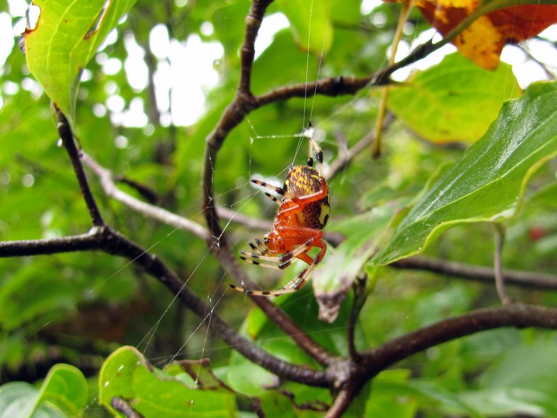 A beautiful Marbled Orb ... |
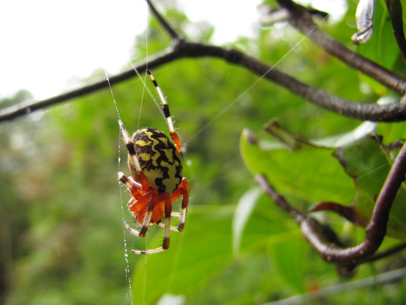 ... Weaver Spider |
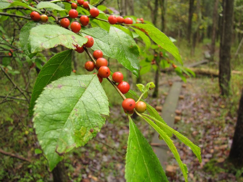
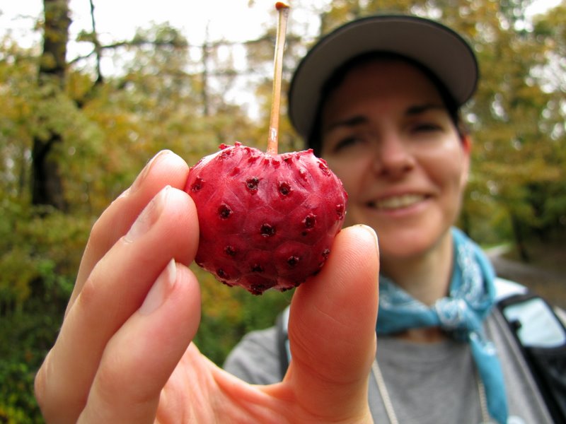 Prickly cherry? |
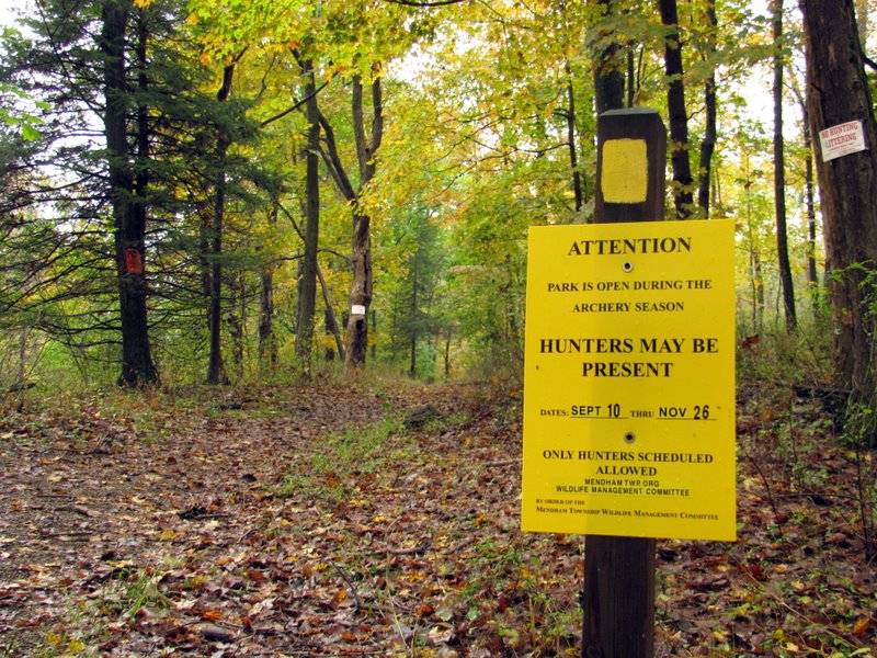 We saw and heard none |
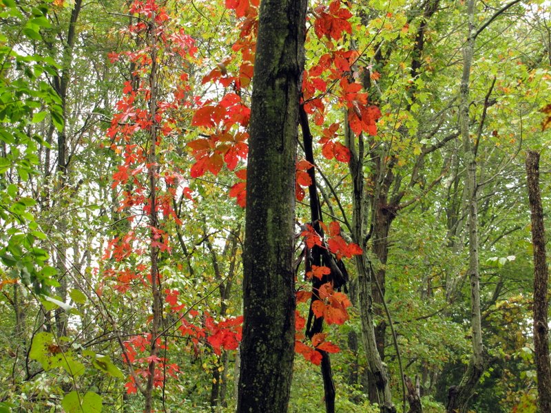
 Very early color |
 White Ash |
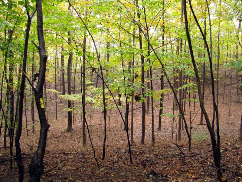
 In a natural bowl |
 |
 Lots of saplings |
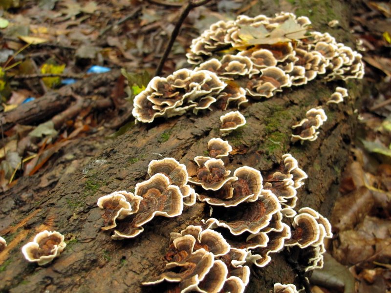 Gorgeous mushrooms |
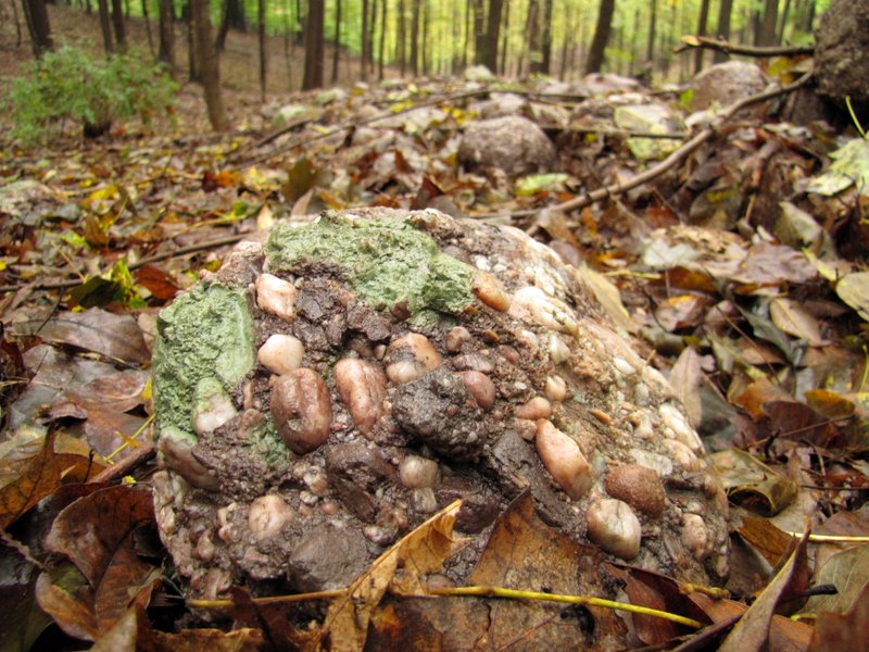 Puddingstone! |
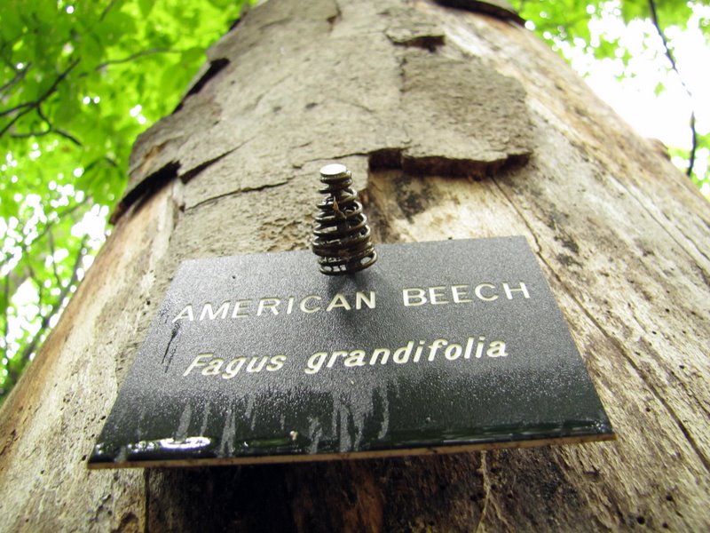 American Beech |
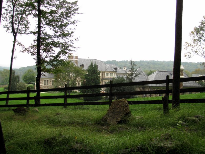 Huge mansion at end of Pine Hollow Lane |
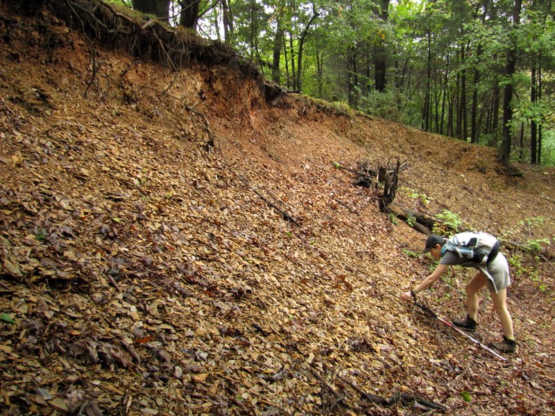 Loads of shale in shale pit! |
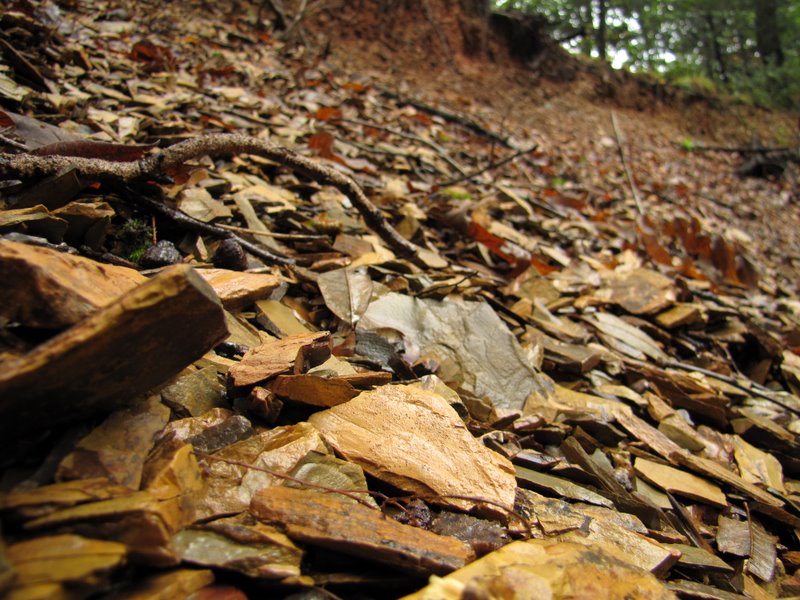 Shale close-up |
 Shotgun shell |
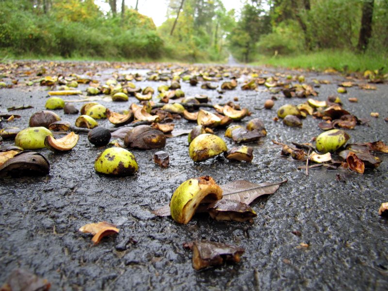 Nut shells on Mt. Paul Road |
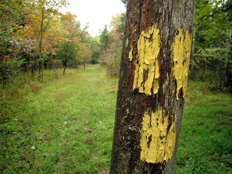 Trail blazes |
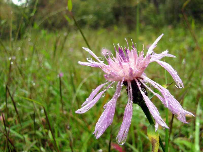 Gorgeous wildflowers ... |
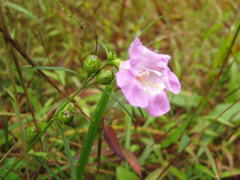 ... along the trail |
 |
 Fall foliage! |
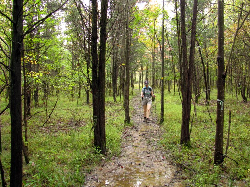 Narrow, wet trail |
 Lovely cedars |
 |
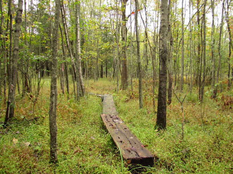 Boardwalks |
 Early color |
 Beautiful trees |
 More color |
 |
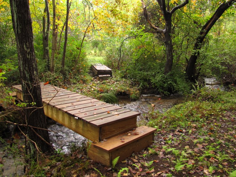 More sturdy bridges |
 |
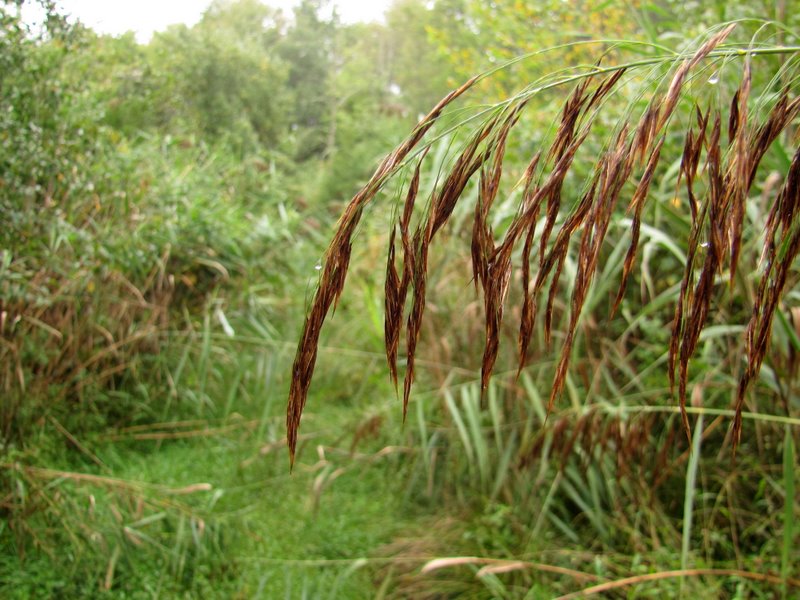 Phragmites ... |
 ... hanging onto the trail |
 |

|
|
Photographs and content copyright © Dan Balogh Web design by Dan Balogh |