 |
|
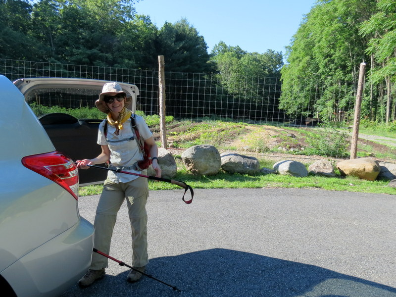
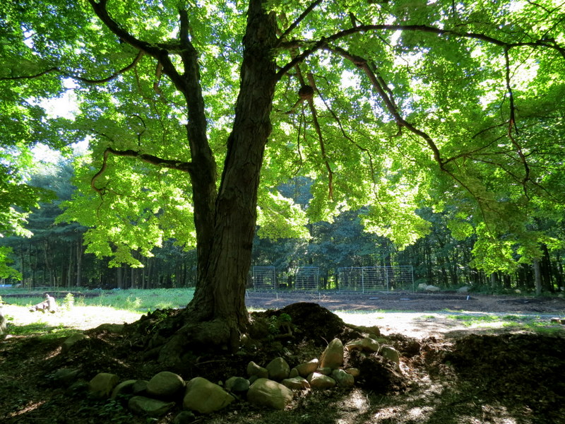
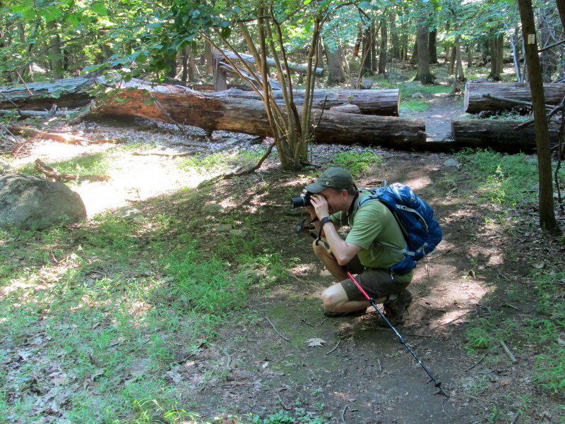
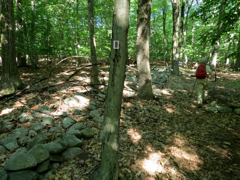
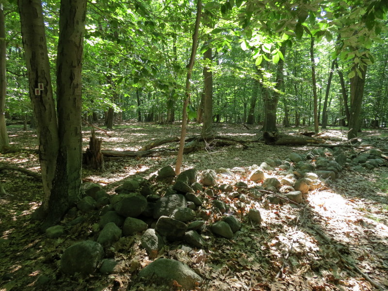
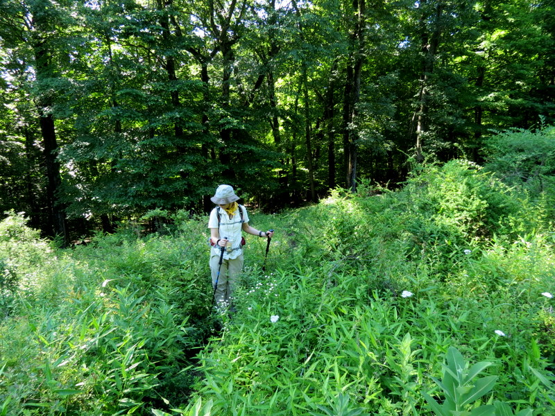
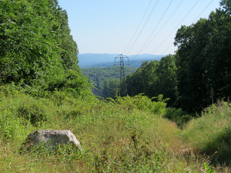
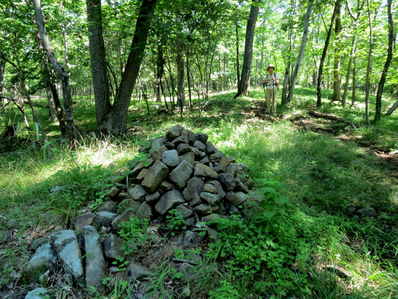
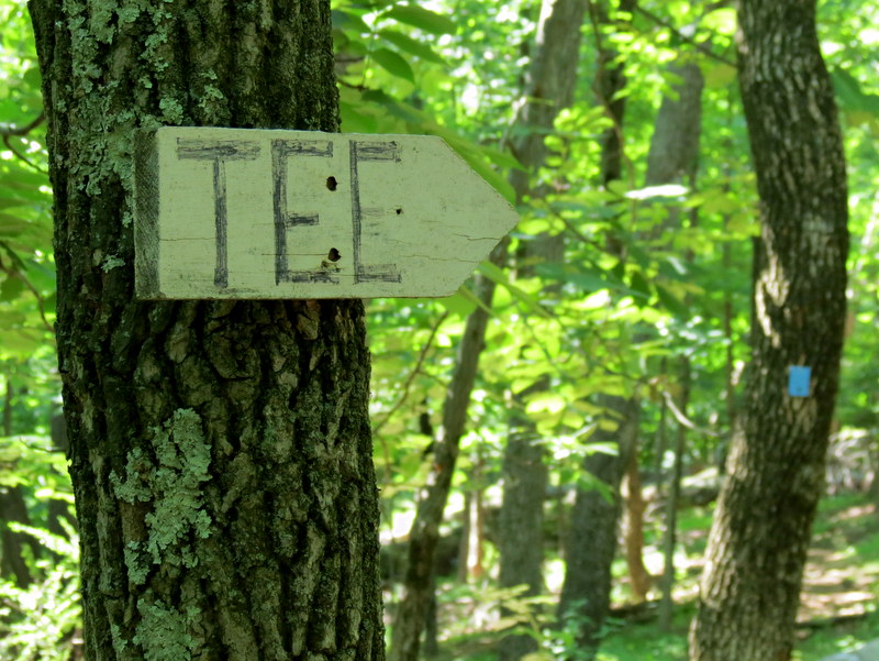
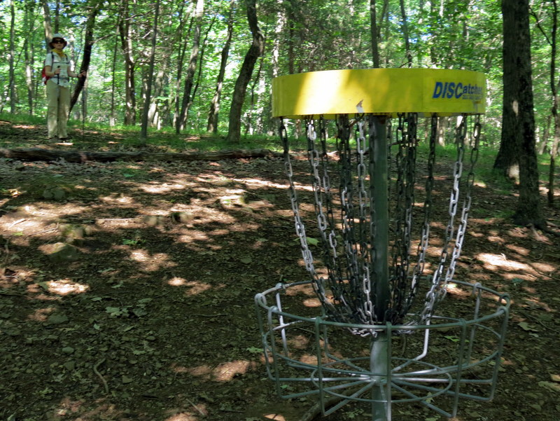
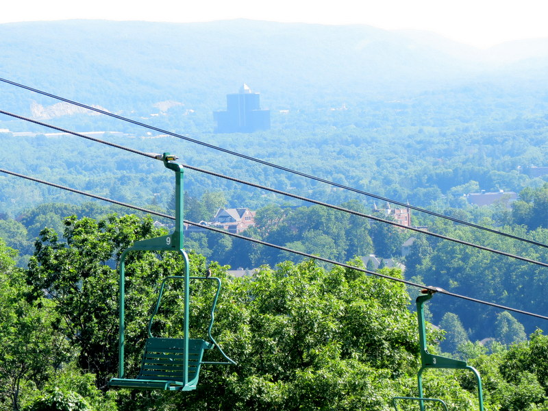
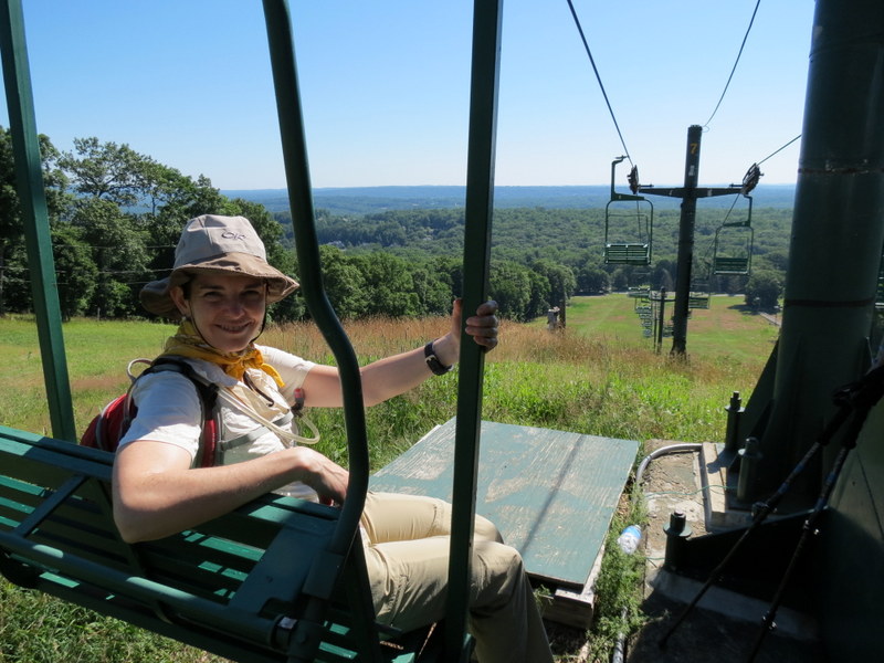
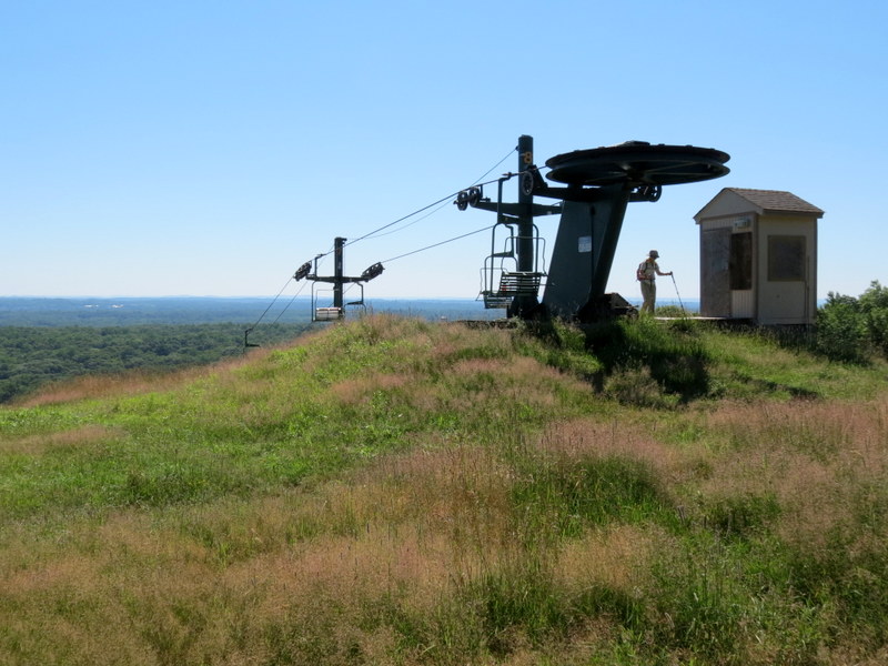
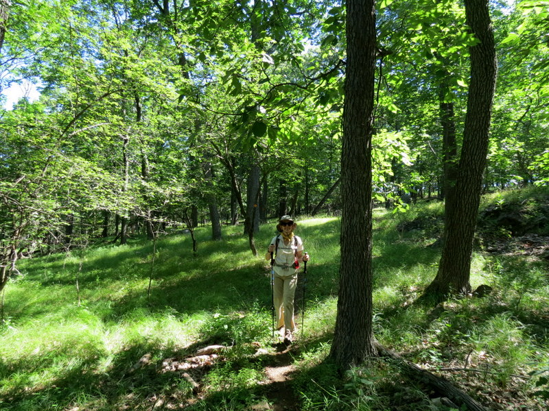
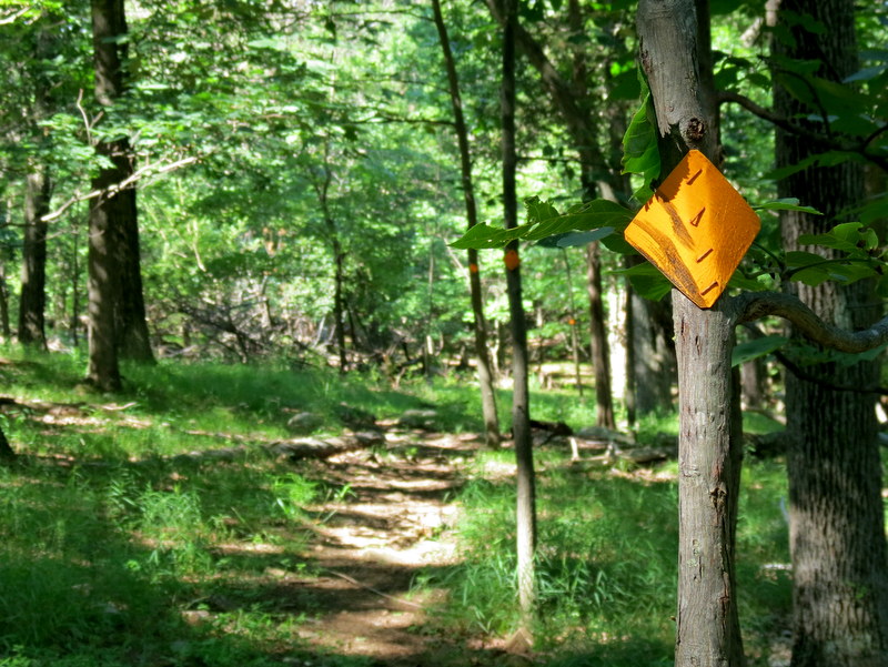
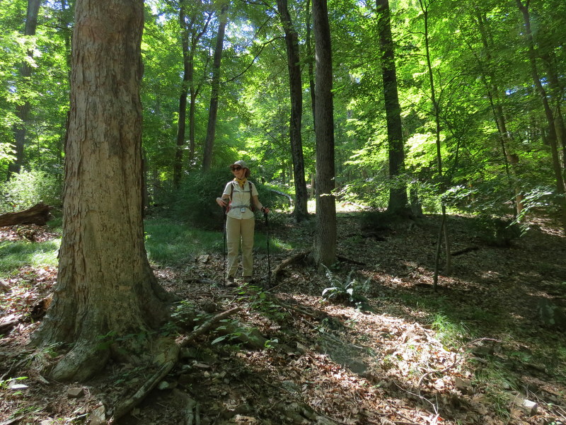
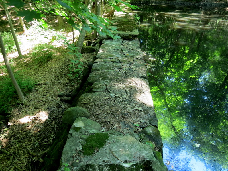
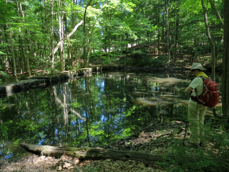
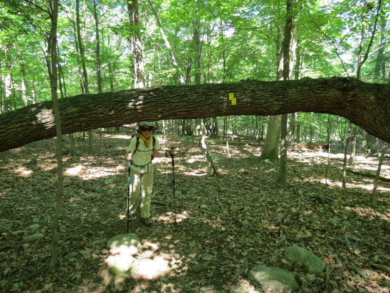
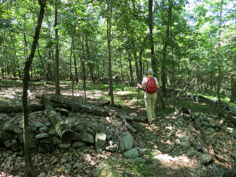
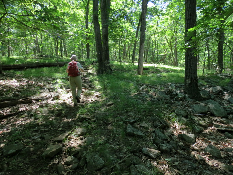
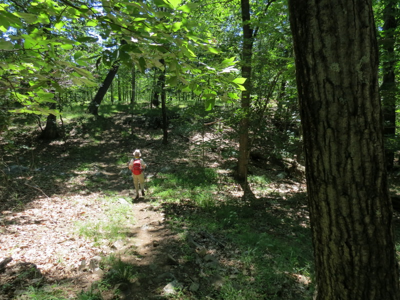
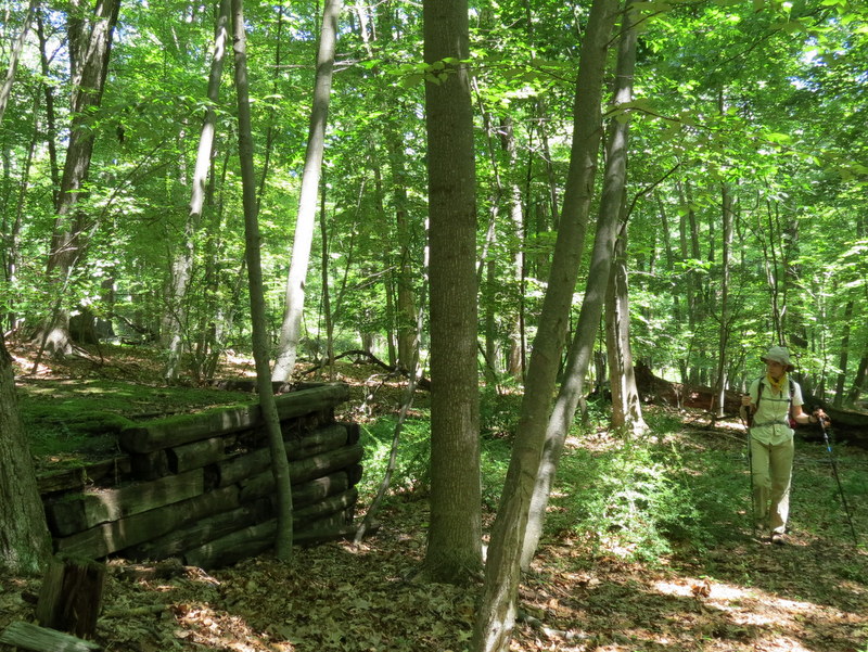
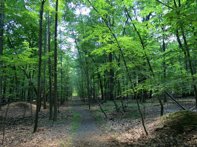
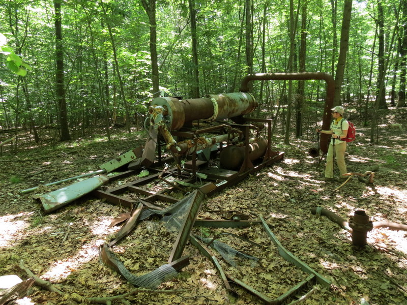
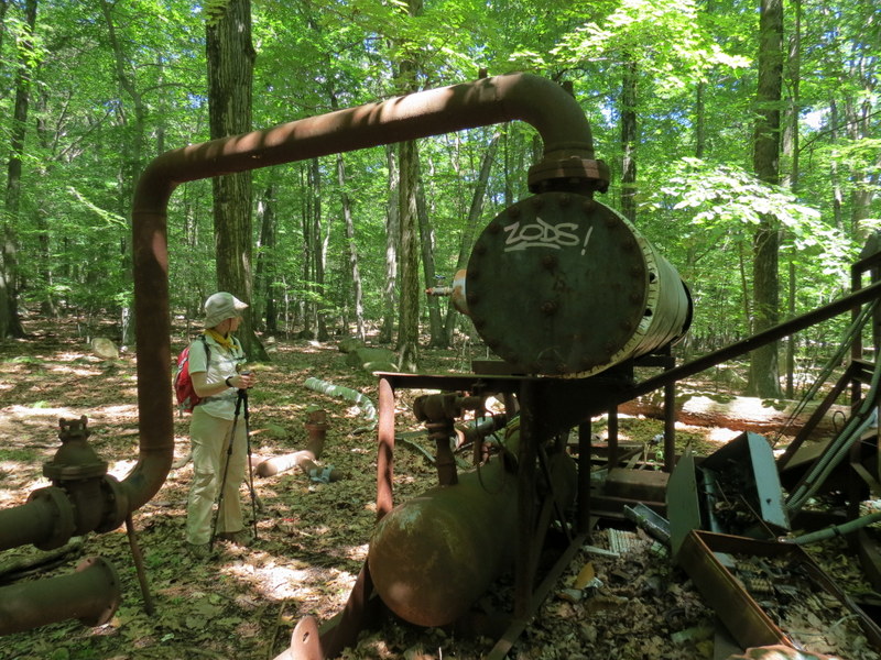
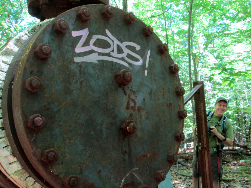
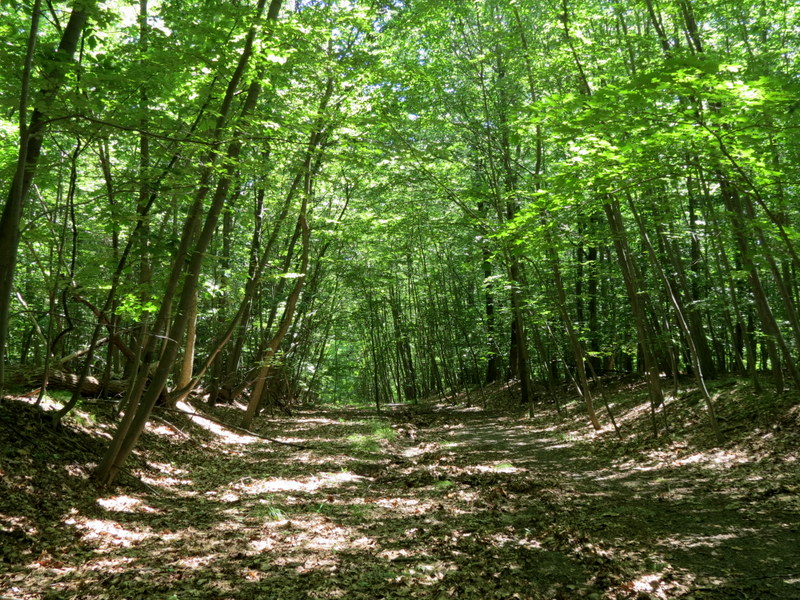
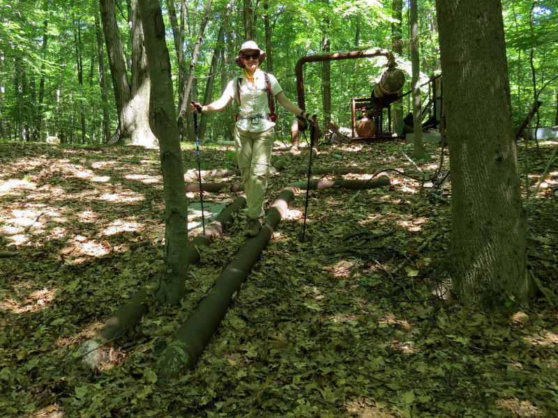
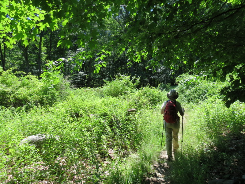
We've hiked this rugged mountain in the Ramapo mountain range two times in the past, the first time back in 2005 and the last time in 2009. The newest trail
map showed more blazed trails since then, so we headed there today, on Independence Day, to hike just about every other trail that we hadn't hiked in the past.
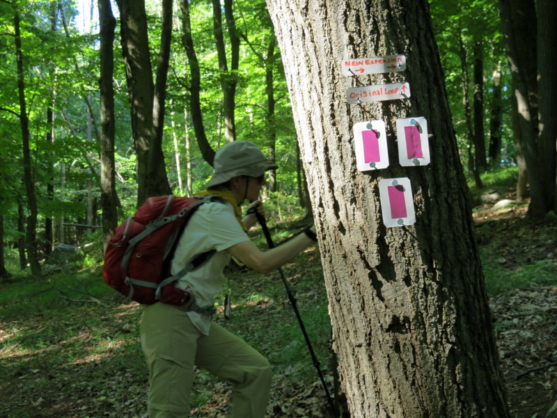
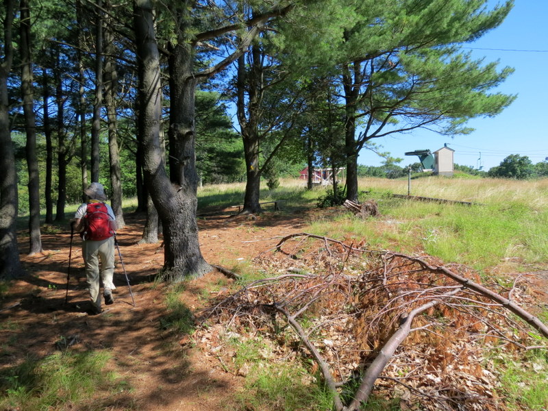
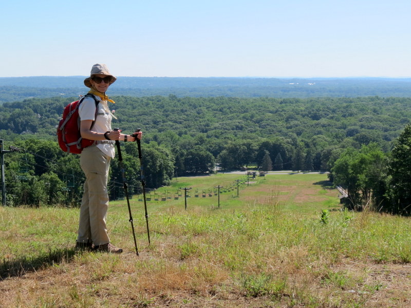
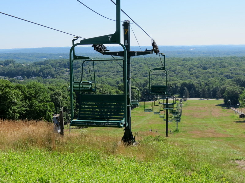
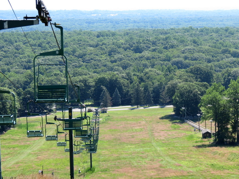
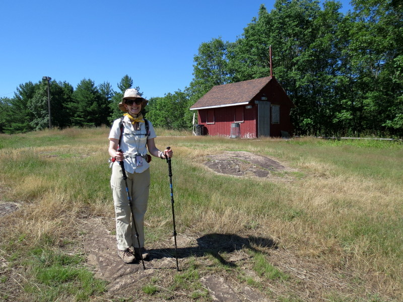
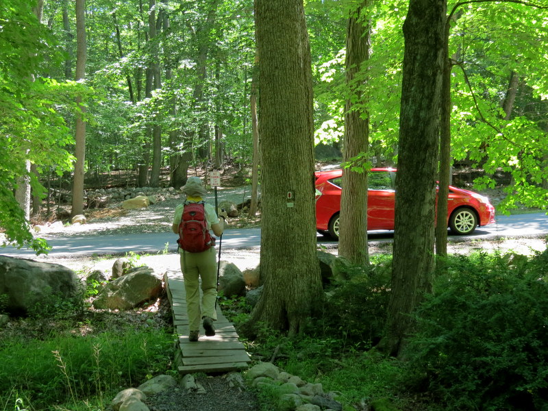
Using this updated map from 2016, we parked at the
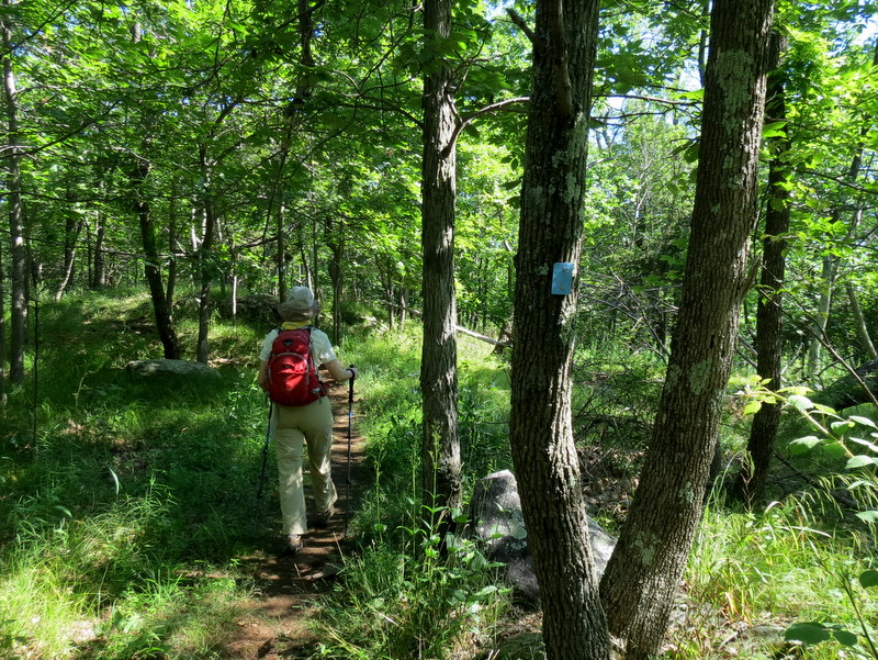
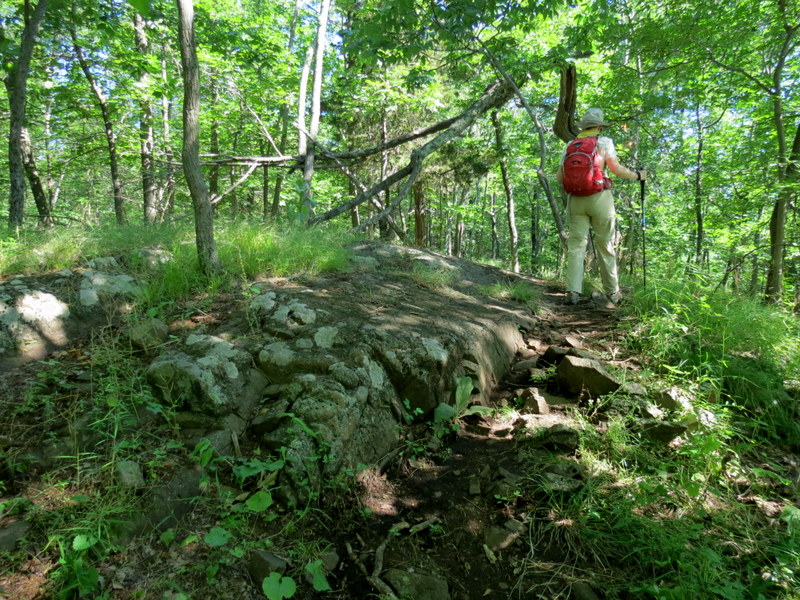
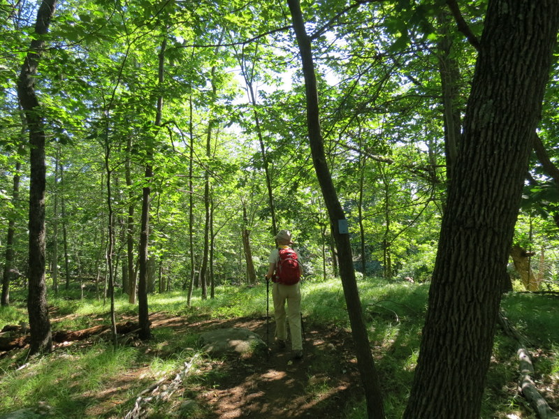
southern end of Park Drive (the map doesn't denote this as a parking area but there is sufficient parking in the circular cul-de-sac), and hiked a combination
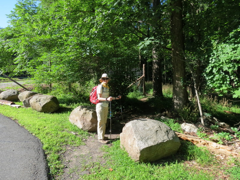
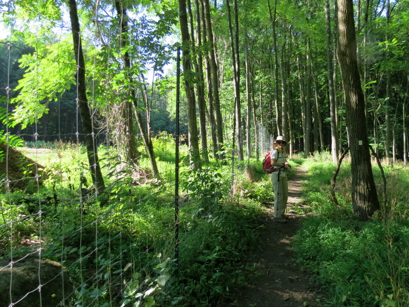
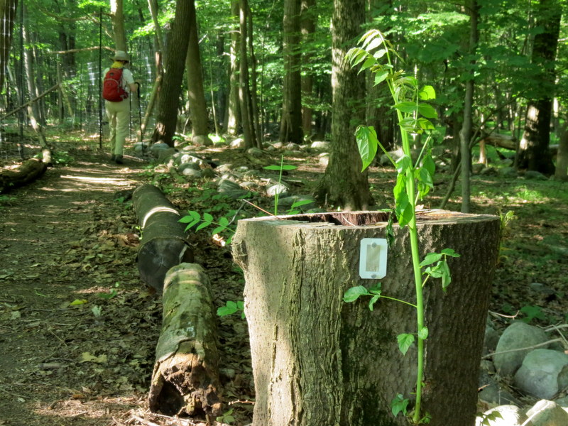
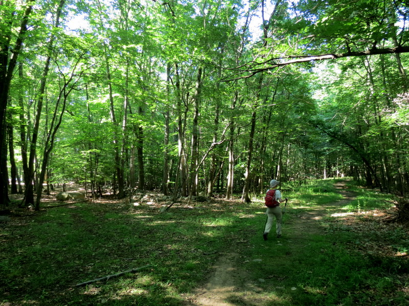
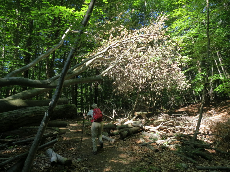
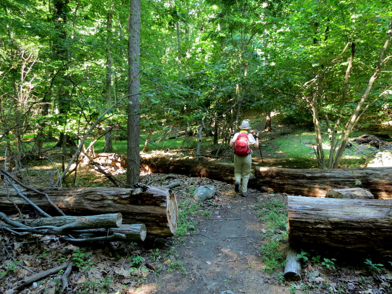
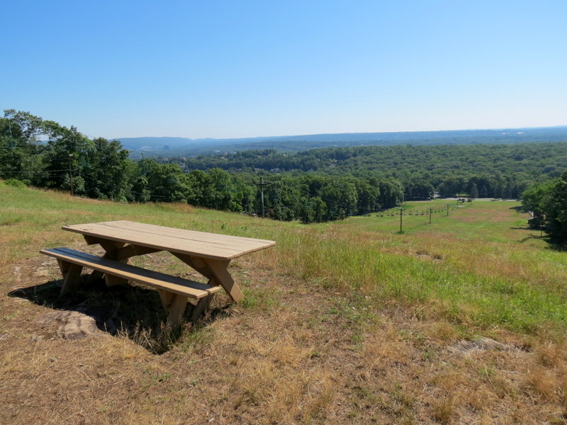
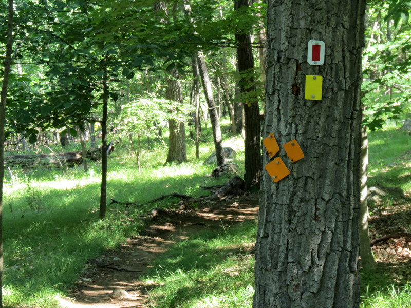
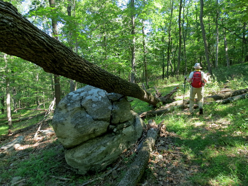
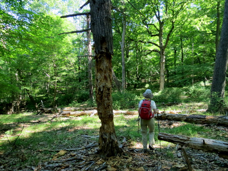
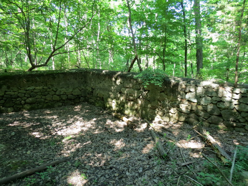
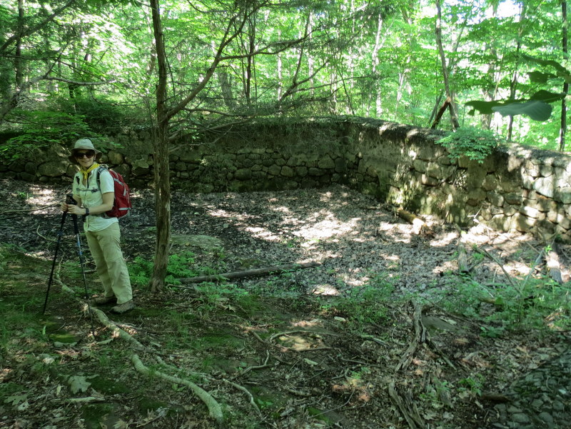
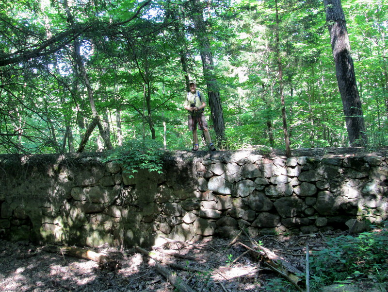
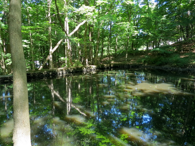
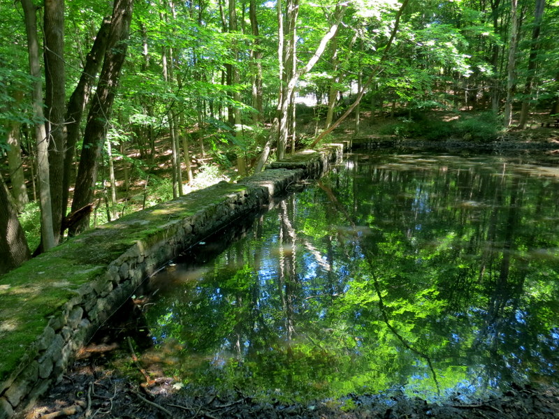
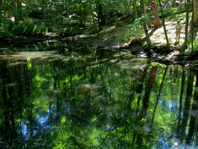
of the Silver trail, the Backslope trail, visiting two cisterns, and several trails in between. You can see our somewhat complicated track
here.
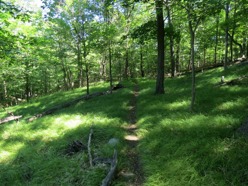
Total distanced hiked today was 4.5 miles in 2 hours and 45 minutes.
|
 |
 |
 |
 |
 |
 |
 |
 |
 |
 |
 |
 |
 |
 |
 |
 |
 |
 |
 |
 |
 |
 |
 |
 |
 |
 |
 |
 |
 |
 |
 |
 |
 |
 |
 |
 |
 |
 |
 |
 |
 |
 |
 |
 |
 |
 |
 |
 |
 |
 |
 |
 |
 |
 |
 |
 |
 |
 |
 |
 |
 |
 |
 |
 |
 |
 |
 |
 |
 |
 |
 |
 |
 |
 |
 |
 |

|
|
Photographs and content copyright © Dan Balogh Web design by Dan Balogh |