 |
|
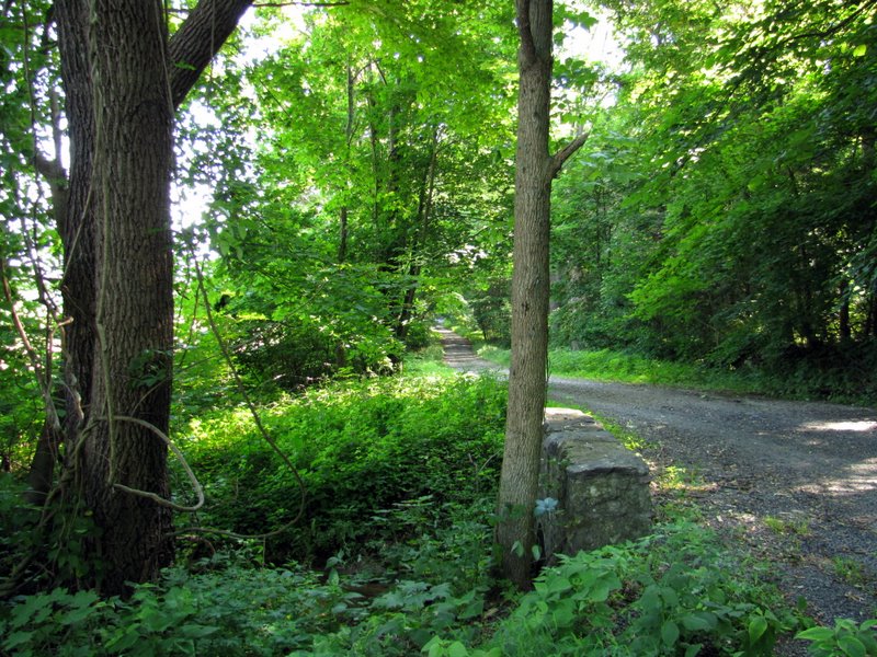
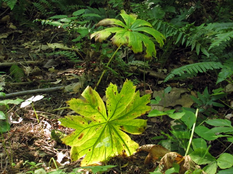
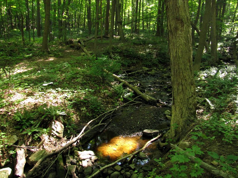
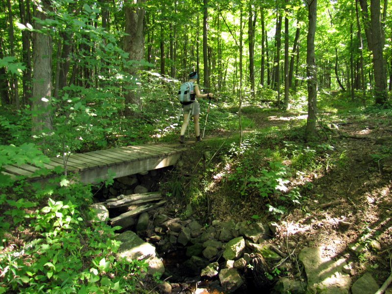
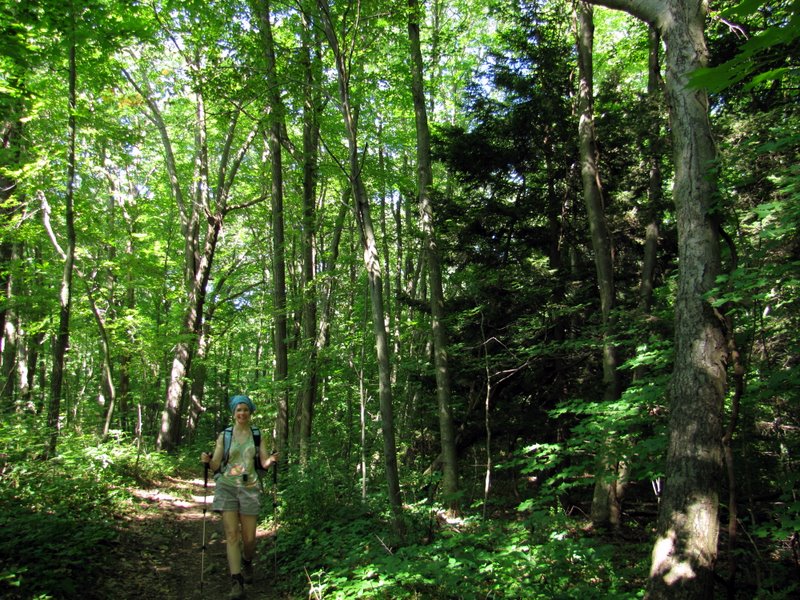
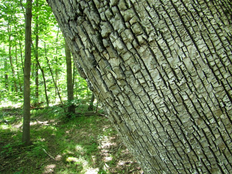
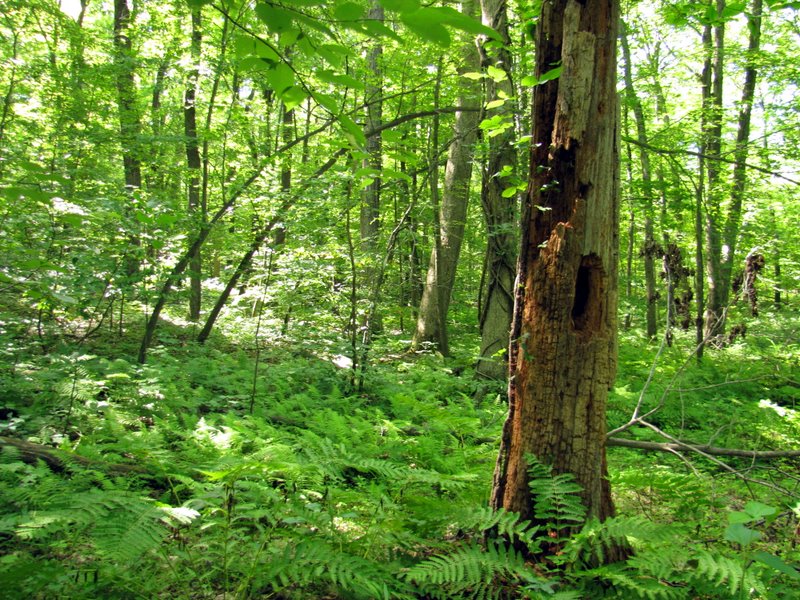
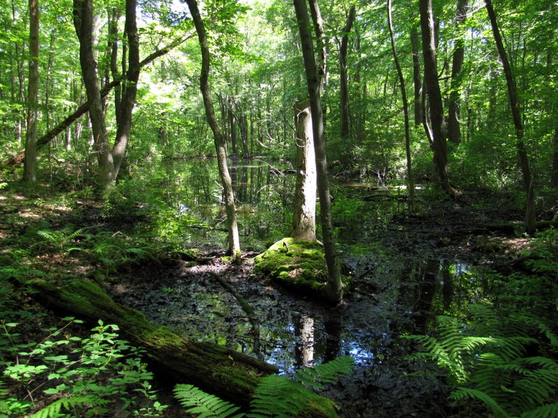
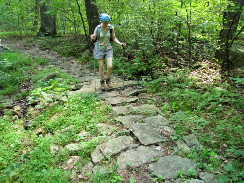
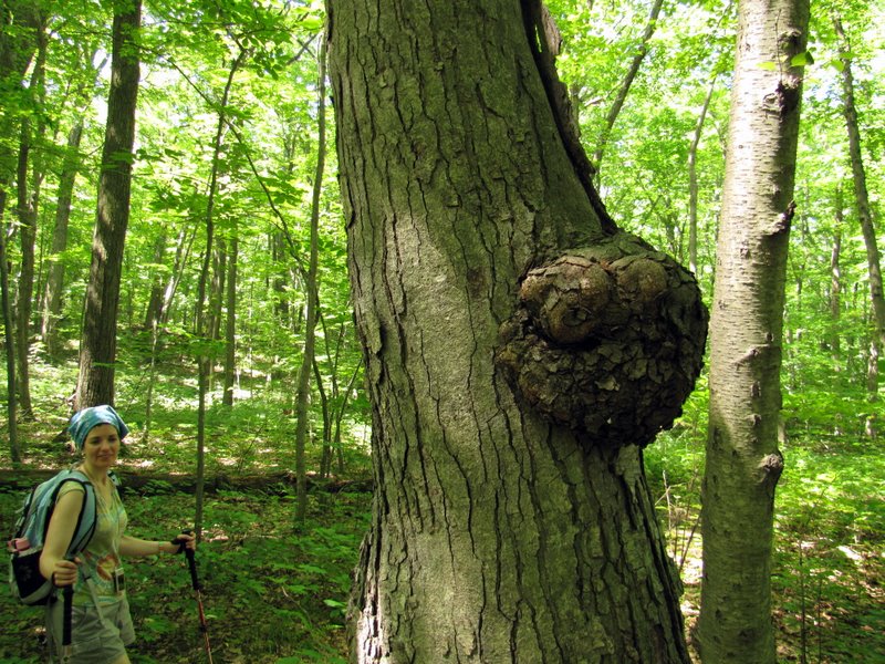
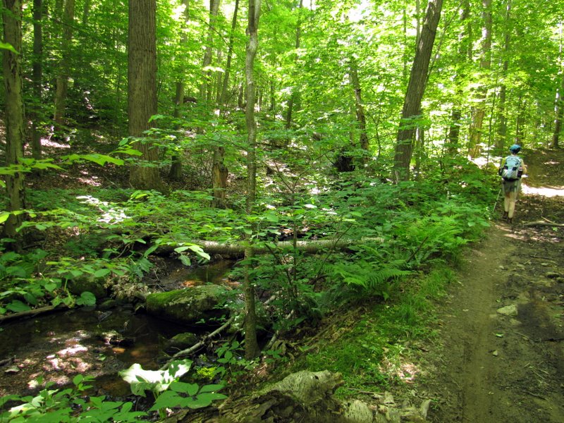
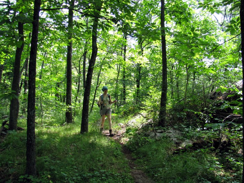
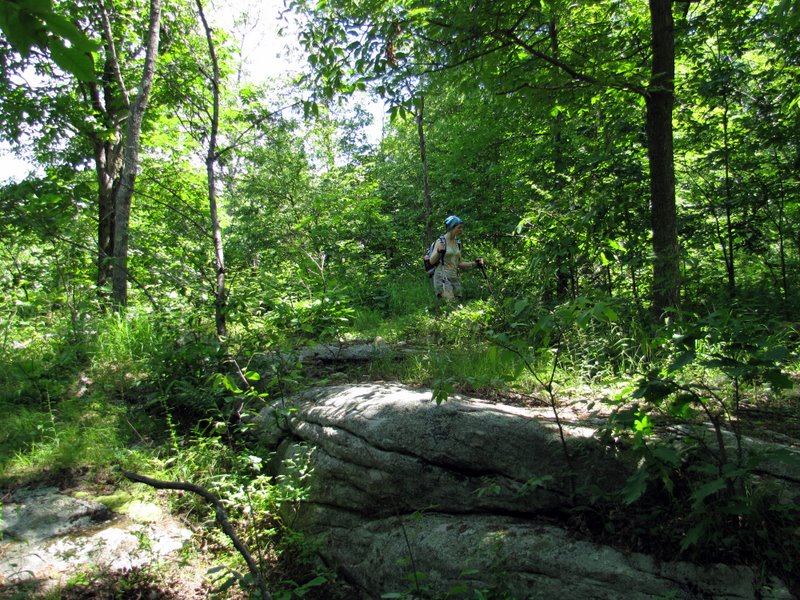
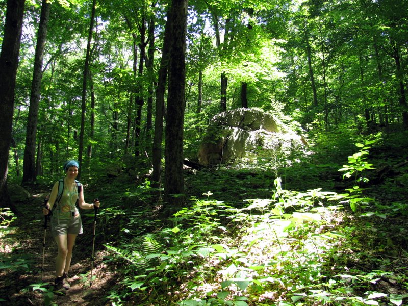
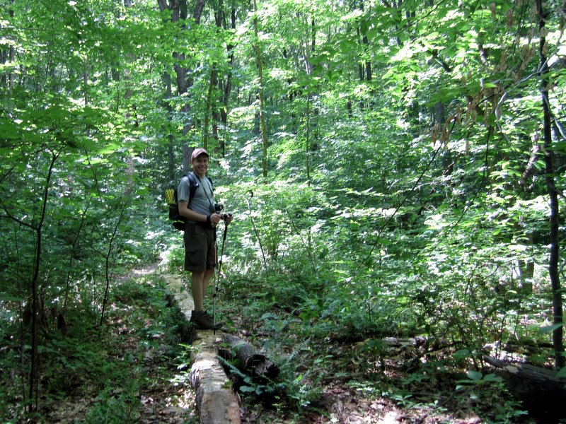
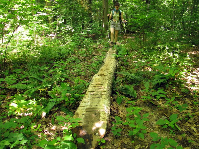
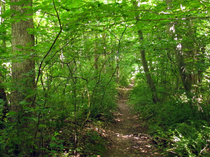
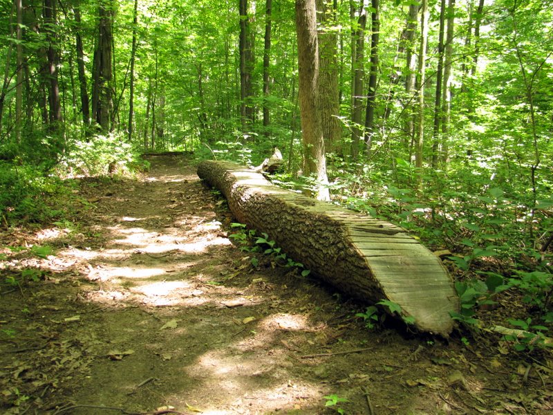
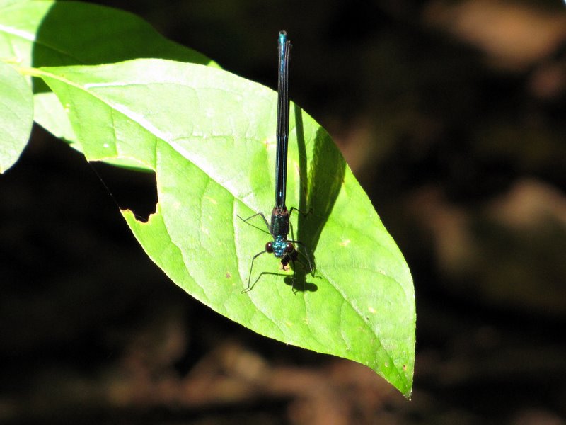
In late May we hiked the northeastern part of Allamuchy. It was the first time we ever hiked this part of the park (north of Interstate 80). Today we returned to hike in
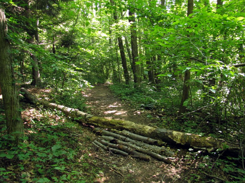
the northwestern part (once again north of Route 80). Using this terrific map produced
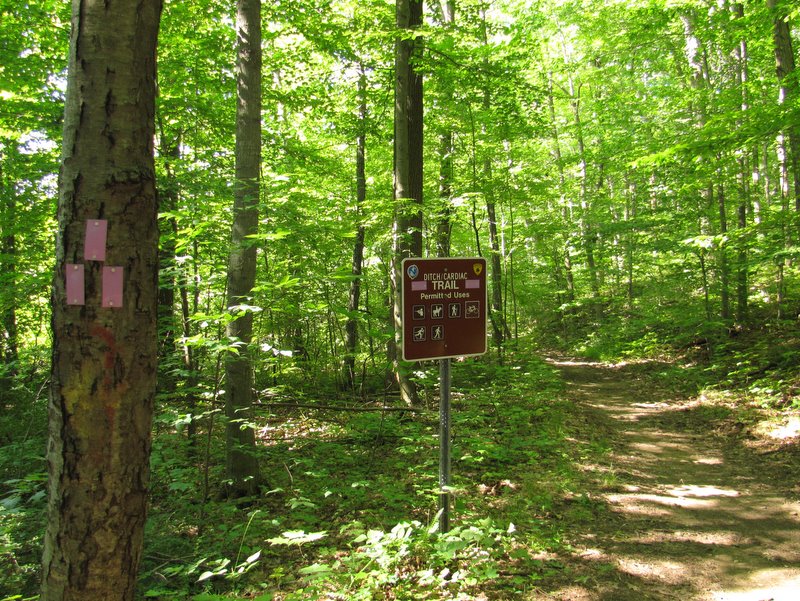
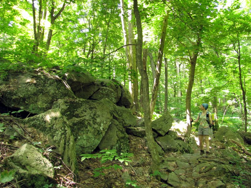
by a JORBA member, I designed a loop which incorporates parts of the Waterloo/517 trail, the Ditch/Cardiac trail, the Switchback Loop, as well as a group of woods roads.
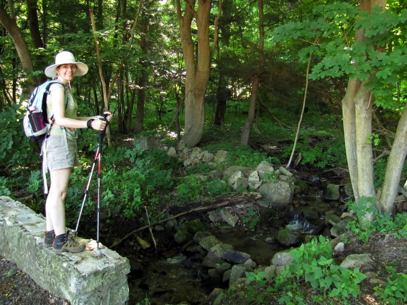
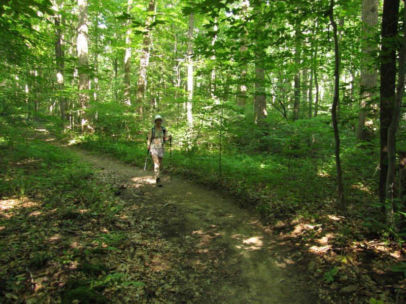
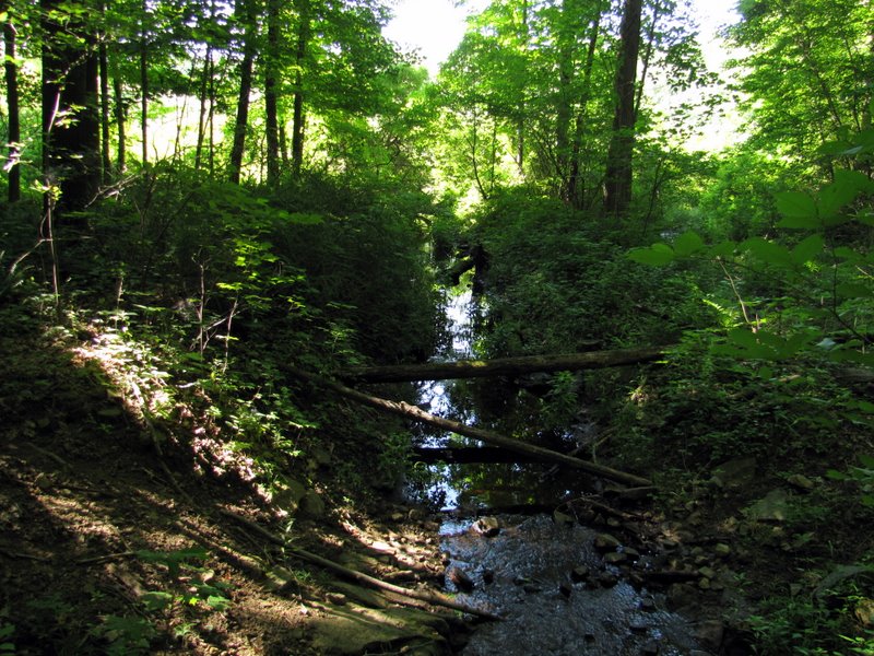
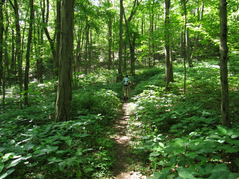
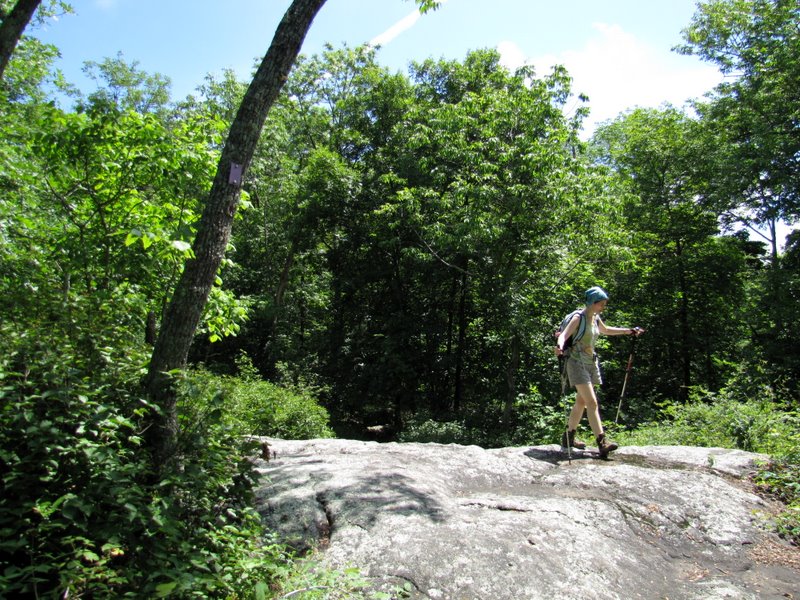
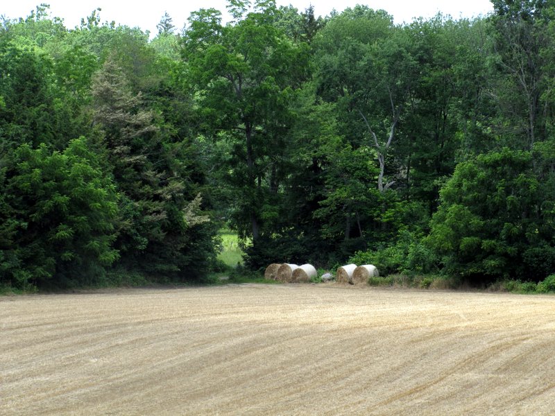
My goal was to see the two "vistas" denoted on the map: the first on a woods road which runs parallel to the Waterloo/517 trail denoted "EL 1100" on the map, the second
the vista on the Ditch/Cardiac denoted "EL 1160" at just about its southern-most point. Unfortunately we didn't see a view in either spot. Either the views were on spurs
(which we weren't really looking for, since the map didn't show any necessary spurs), or the views are seasonal. Oh well, it was still a very lovely hike with the weather
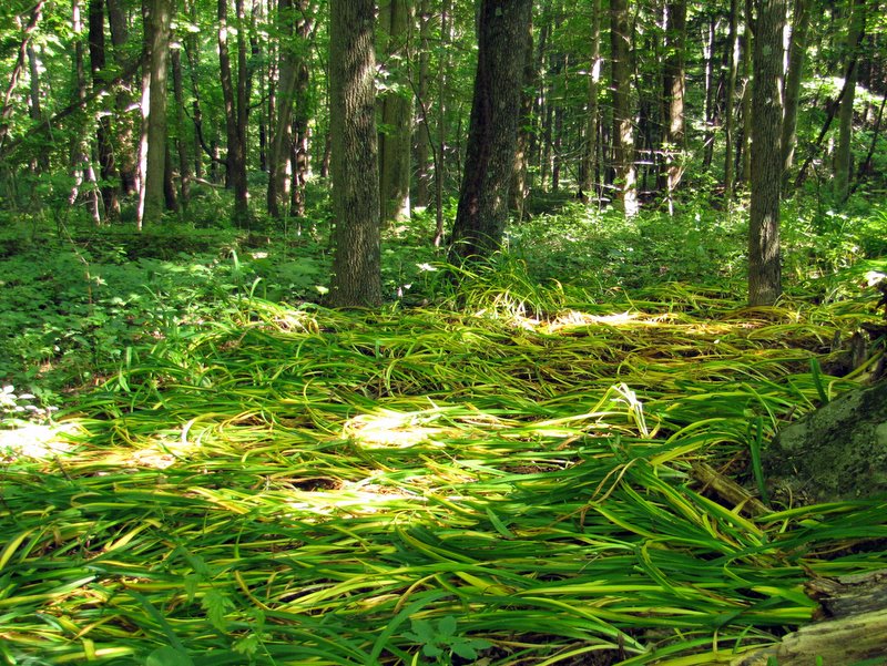
being perfect: relatively low humidity and a temperature mostly in the high 70s during the entire extent.
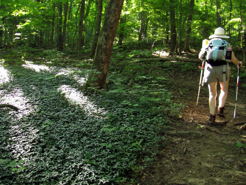
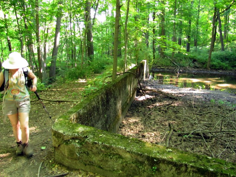
This map (a small piece of the aforementioned map) shows the course we took today, highlighted in yellow highlighter. Total distance hiked today was 6.3 miles in 3.5 hours.
|
 |
 |
 |
 |
 |
 |
 |
 |
 |
 |
 |
 |
 |
 |
 |
 |
 |
 |
 |
 |
 |
 |
 |
 |
 |
 |
 |
 |
 |
 |
 |
 |
 |
 |
 |
 |
 |
 |
 |
 |
 |
 |
 |
 |
 |
 |
 |
 |
 |
 |
 |
 |
 |
 |
 |
 |

|
|
Photographs and content copyright © Dan Balogh Web design by Dan Balogh |