 |
|
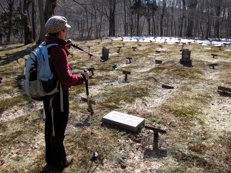
I've always been intrigued by a parcel of land on the NYNJTC's Southern Harriman map identified as the Cheesecote Mountain Town Park, and especially with the cemetery
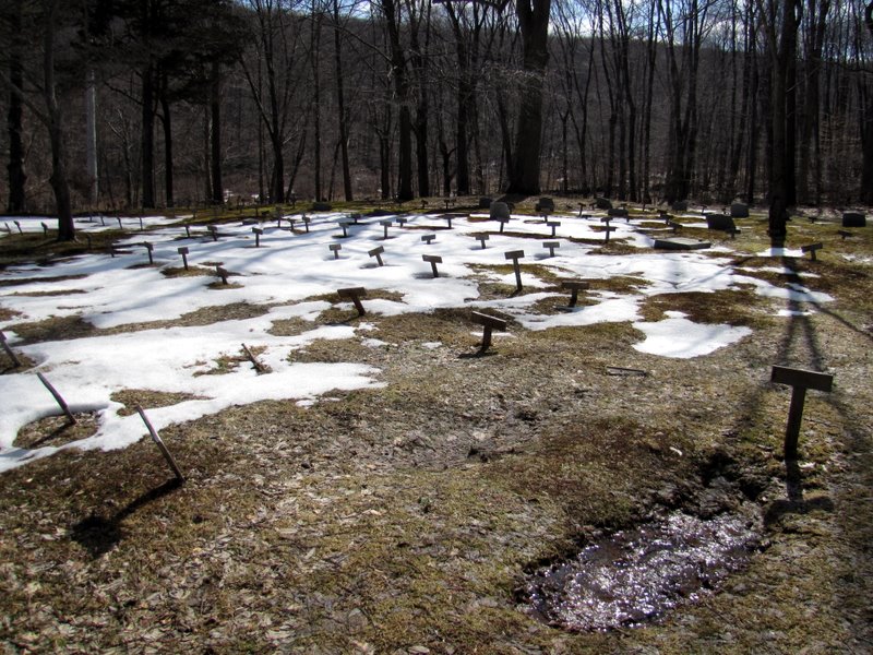
denoted on the map just east of Call Hollow Road. Internet reserach revealed this to be the cemetery for residents of Letchworth Village, described by its
superintendant in 1912, Charles S. Little, as "The Newest State Institution For The Feeble-minded And Epileptic". In The New York Times from
December 13, 2007, Peter Applebome writes, "There was no reason to think that
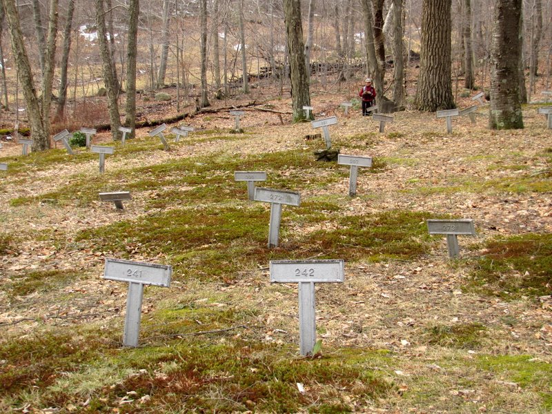
anyone would ever care to remember the 910 or so anonymous souls buried in a distant sloping glade under the T-shaped metal markers with no names, just numbers. They
had, after all, been almost invisible in life. Why try to glimpse them now?"
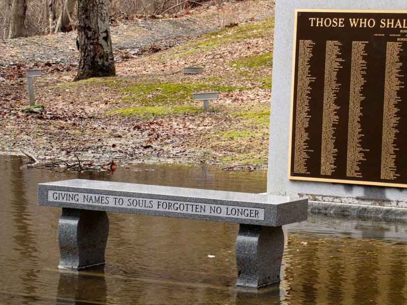
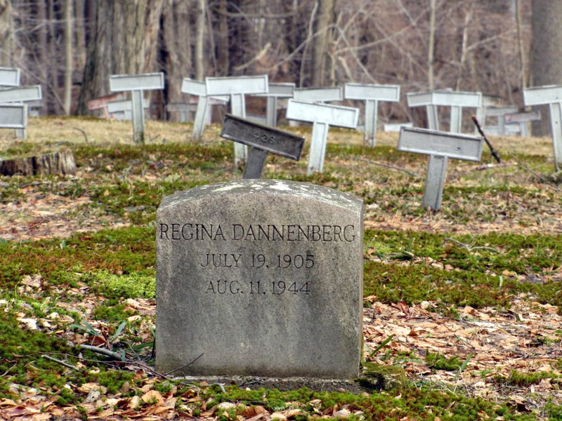
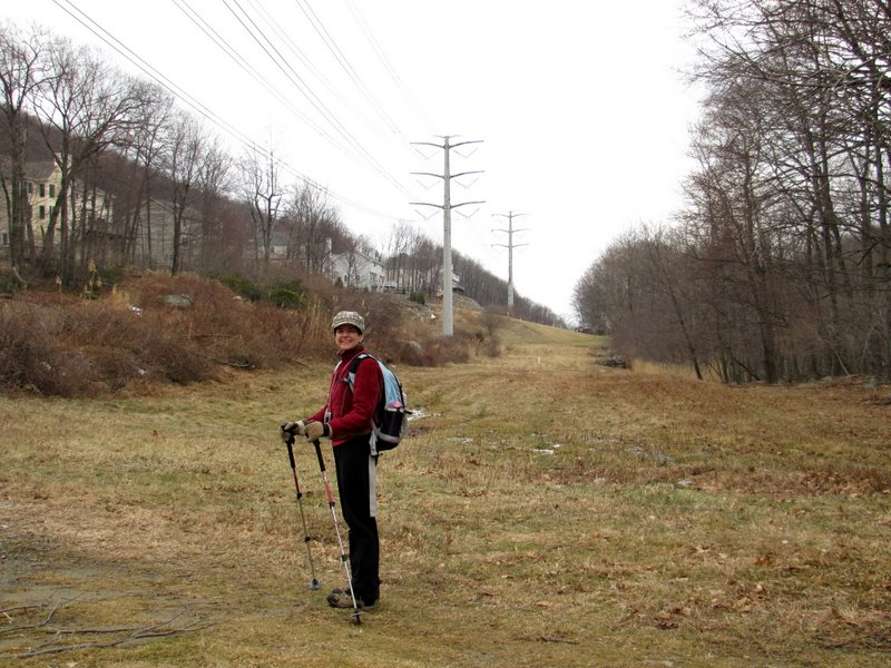
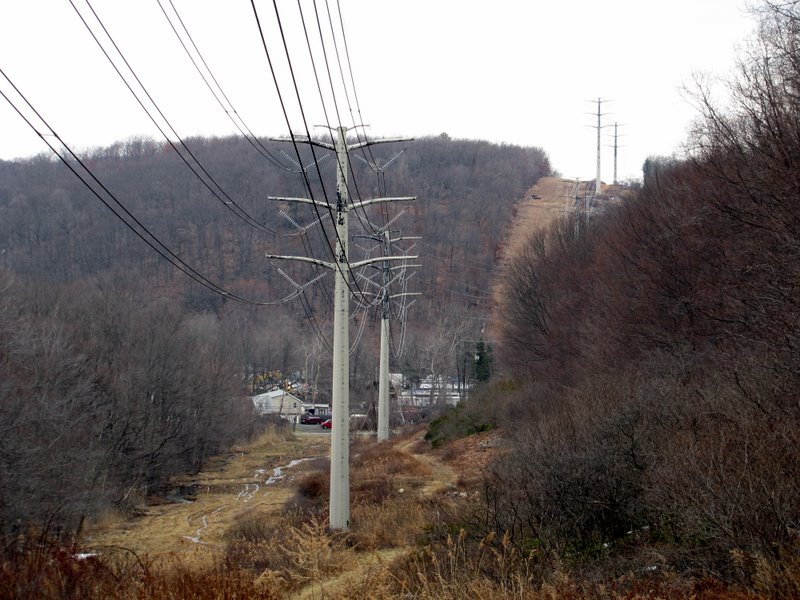
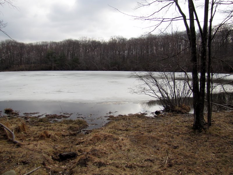
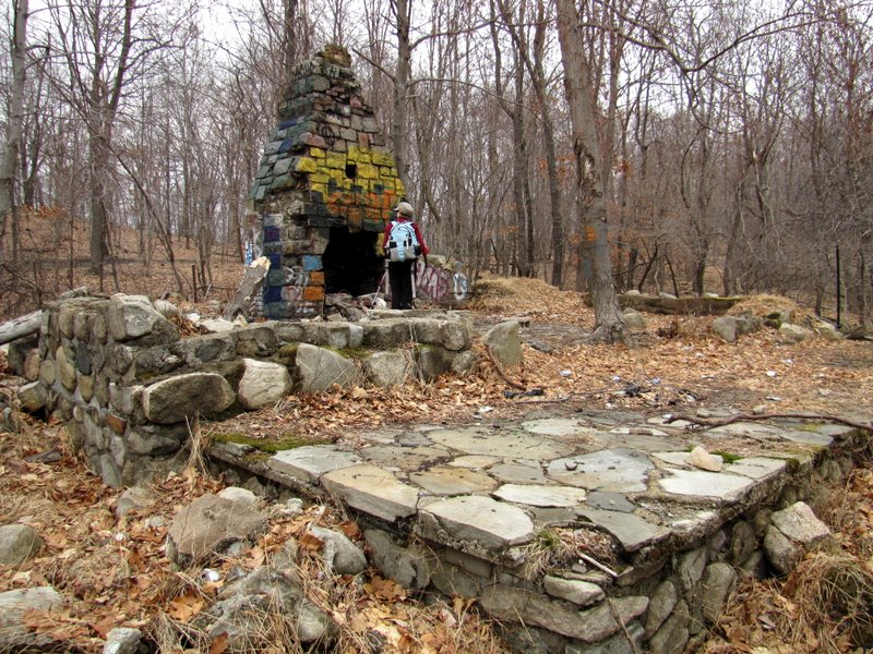
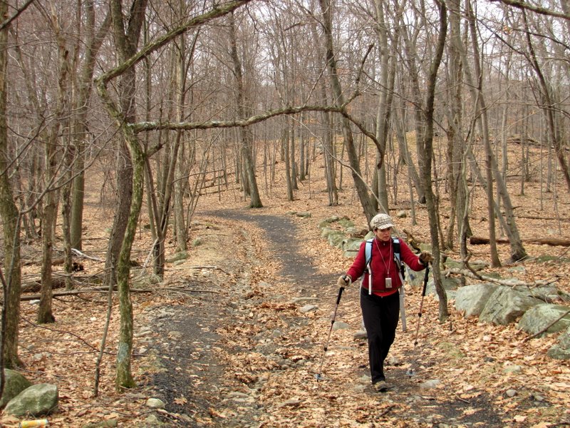
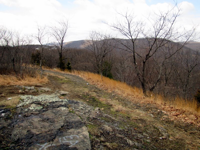
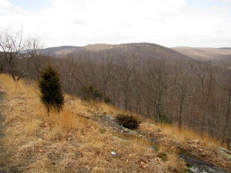
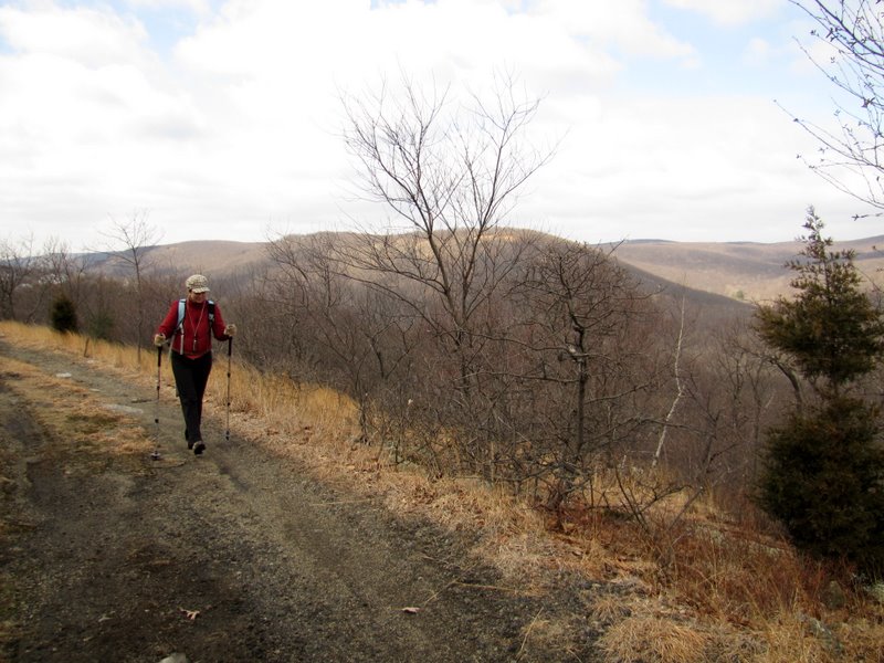
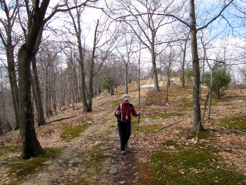
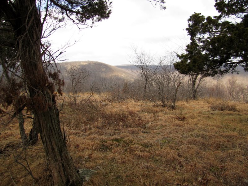
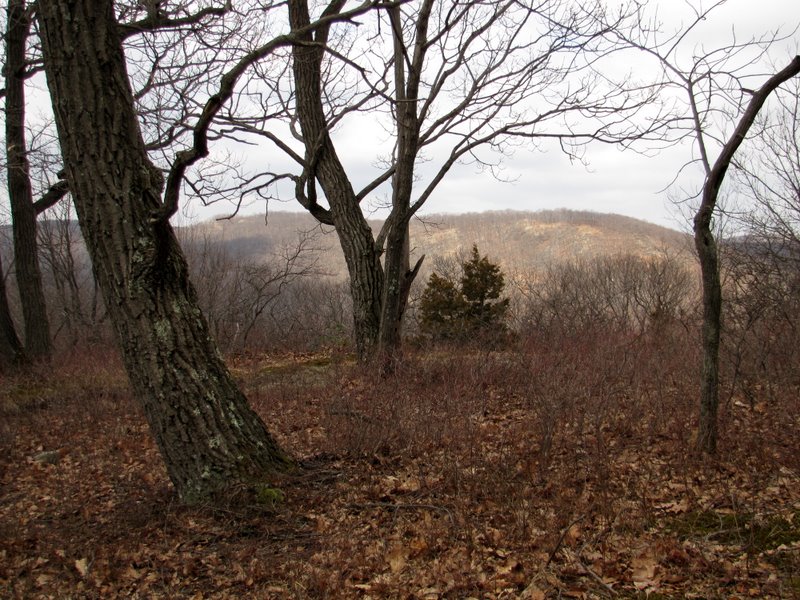
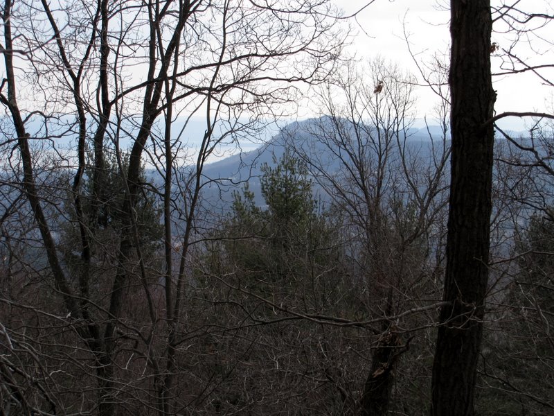
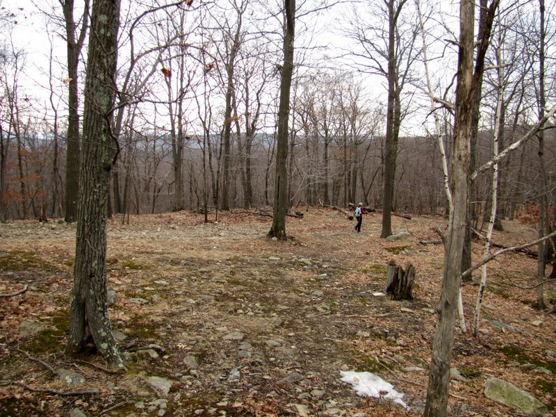
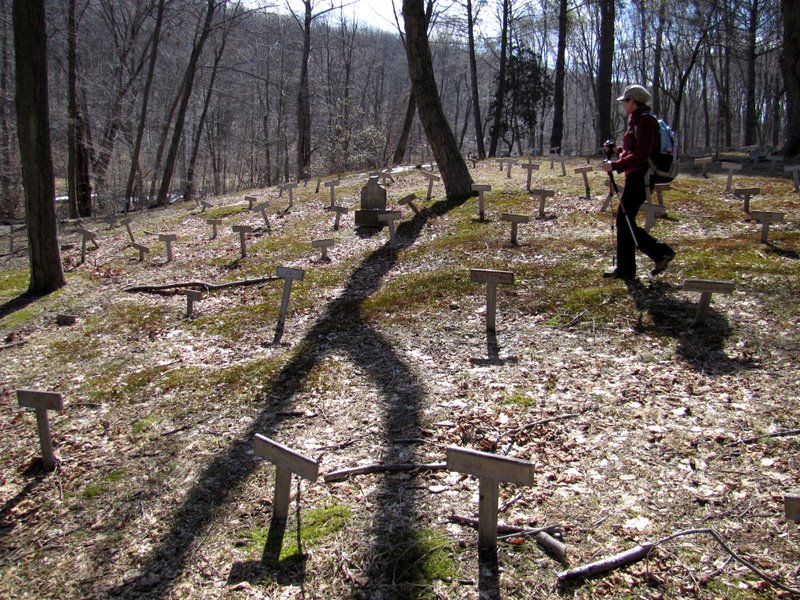
Families were often ashamed of relatives who suffered from mental disabilities, and burying them in anonymous graves was a way to continue hiding them even after death. As the Times article indicates, a few years ago a brand new bronze marker was added to the cemetery to remember 625 of those buried here. It's a haunting place to visit armed with this understanding. So today we visited the Letchworth Cemetery, and then continued east along the Long Path to Cheesecote Pond. We then explored two woods roads. The first road west of the pond heads north past a graffiti-ridden ruin of a home overlooking the pond on a cliff, and then continues ascending to a spectacular view looking north. Ironically, this spot is not marked by the usual vista "star" on the NYNJTC map. When we got to the top we were greeted by a lone beagle who nonchalantly noticed us before getting back to sniffing the peak vigorously. No human beings were anywhere to be seen, so the pooch, wearing a collar, must have lived nearby. The second woods road west of the pond also headed north but descended to a T where going either east or west led to a huge drop. So we backtracked to the LP and then headed west back to the car, passing through the cemetery once more. Total distance hiked today was 4.2 miles in nearly 3 hours.
|
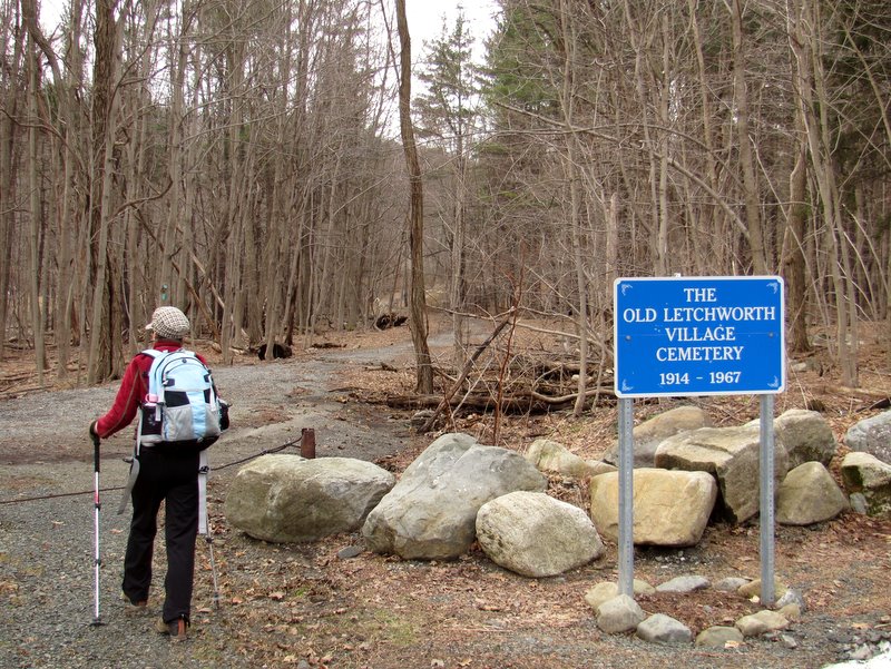 Long Path at cemetery entrance |
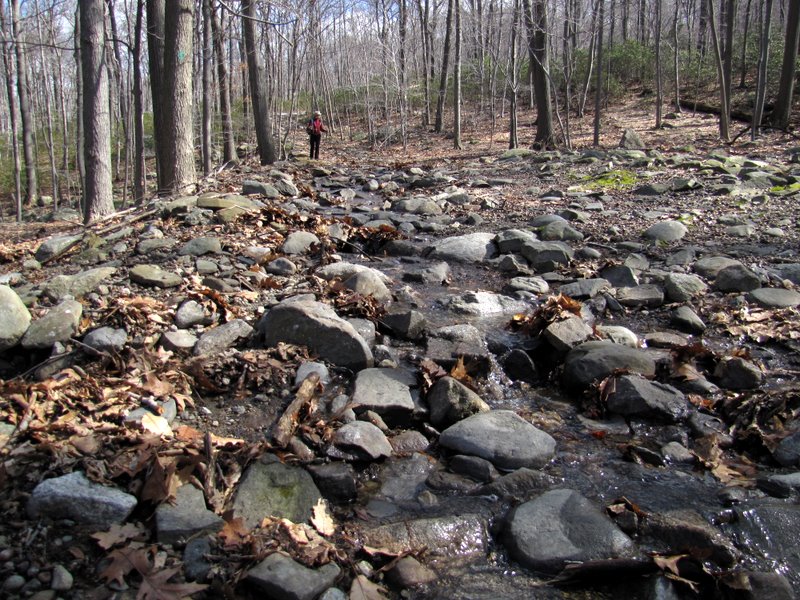
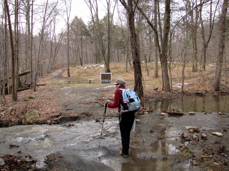 Lots of rushing water ... |
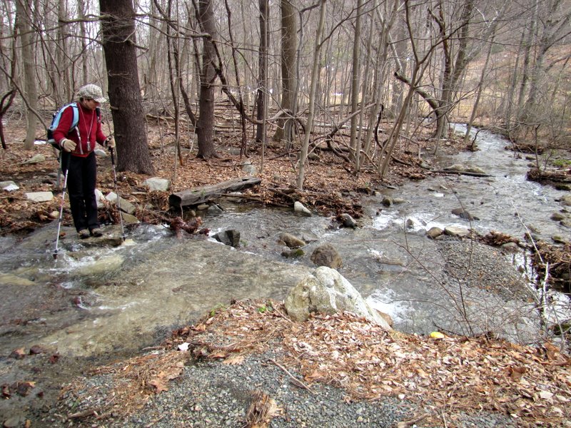 ... after the recent rains |
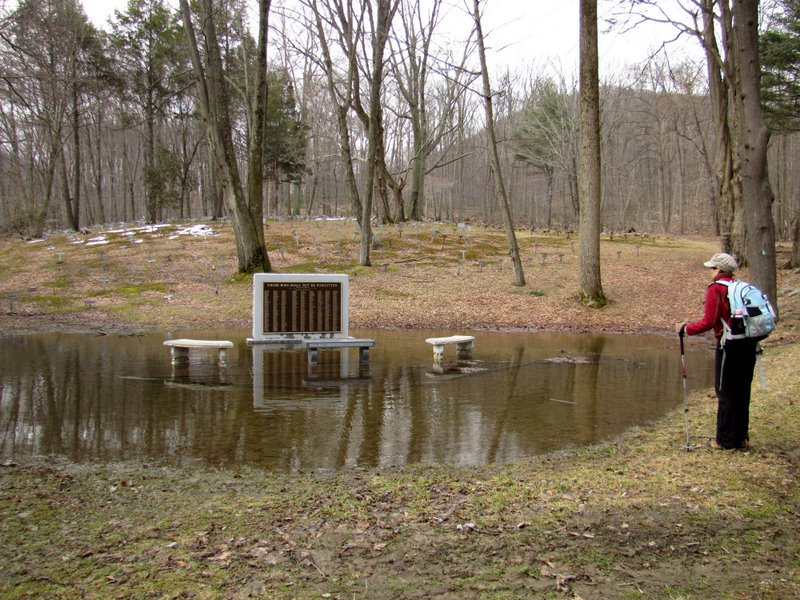 Monument and benches ... |
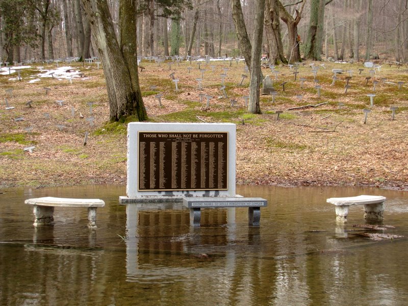 ... are flooded ... |
 ... and inacessible |
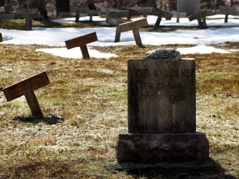
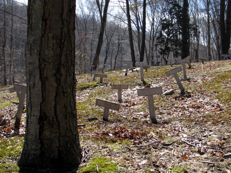
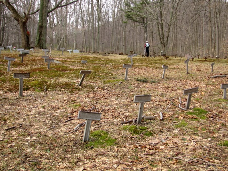 First view of the graves |
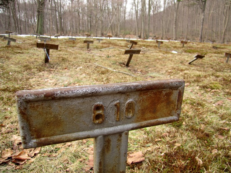 Just numbers |
 Nearly 1,000 are buried here |
 Some have named markers ... |
 ... paid for by their families |
 LP crosses powerline cut |
 This is the same cut ... |
 ... that extends from Route 87 |
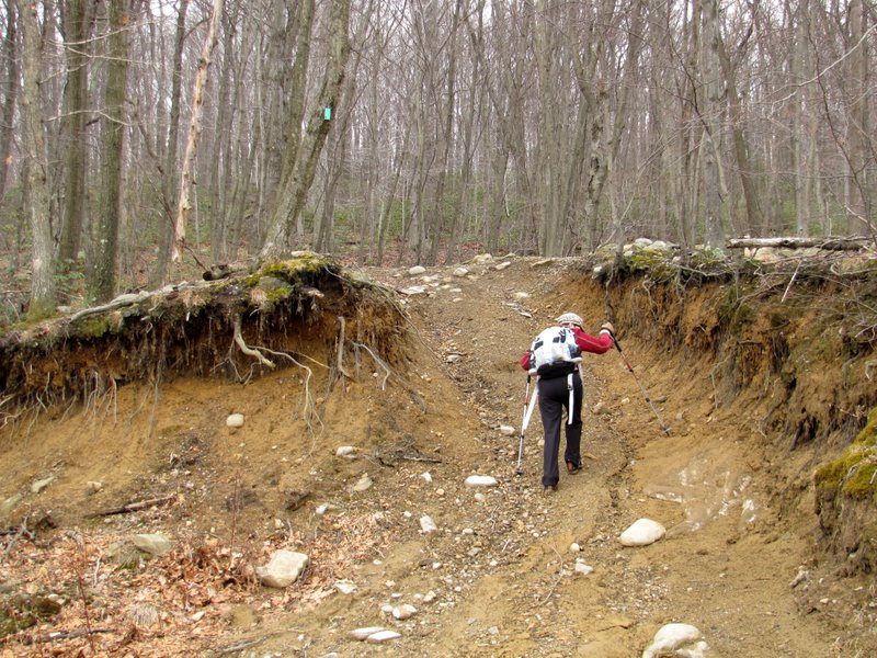 Washed out part of LP |
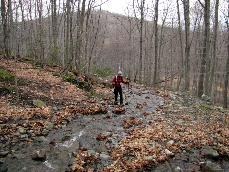 LP is a stream in parts |
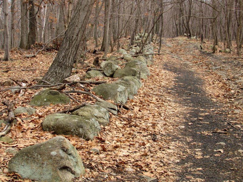
 Interesting stones line path |
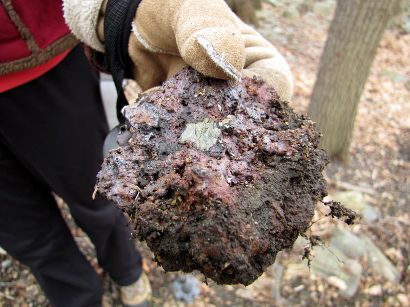
 And old tools |
 |
 |
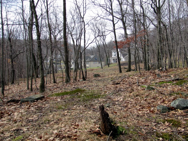 Houses near Cheesecote Pond |
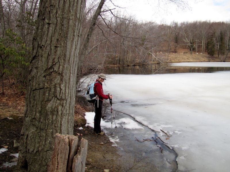
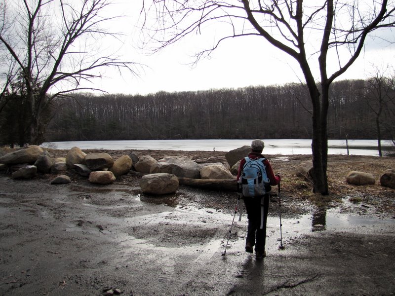 Cheesecote Pond |
 From western bank |
 |
 Cheesecote Pond |
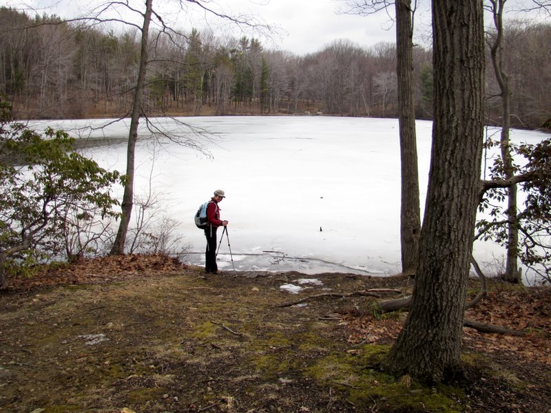 It's still quite frozen |
 |
 Colorful garbage can |
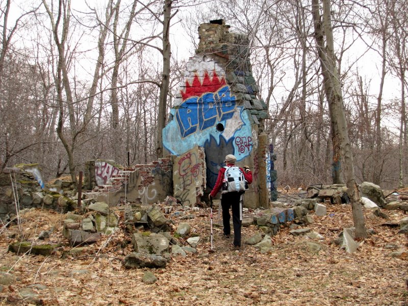 Graffiti-ridden ruins |
 Foundation |
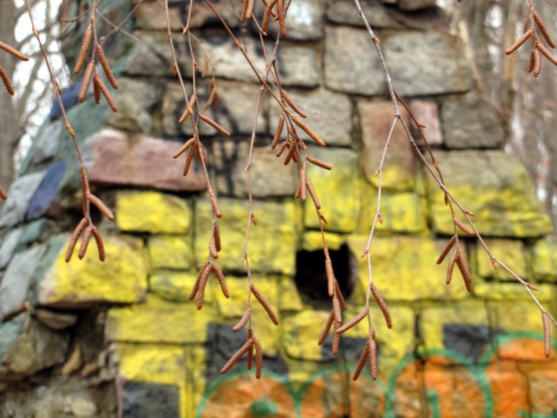 Colorful chimney |
 |
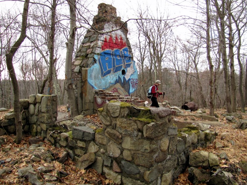 View from front |
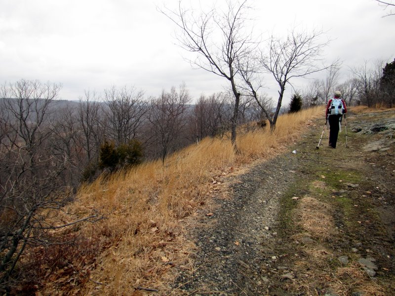
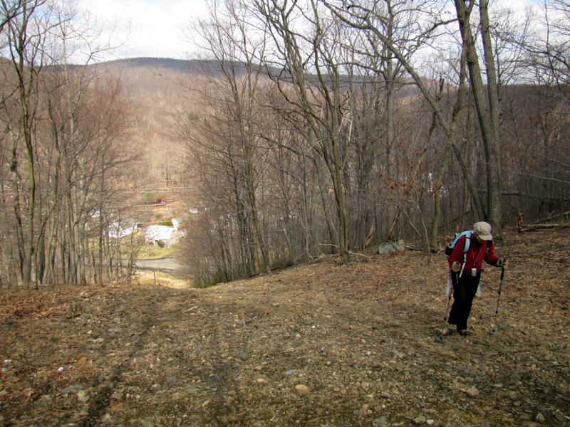
 Continuing north on woods road |
 Looking south |
 It winds as it ascends |
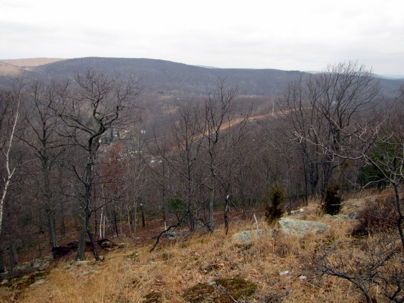
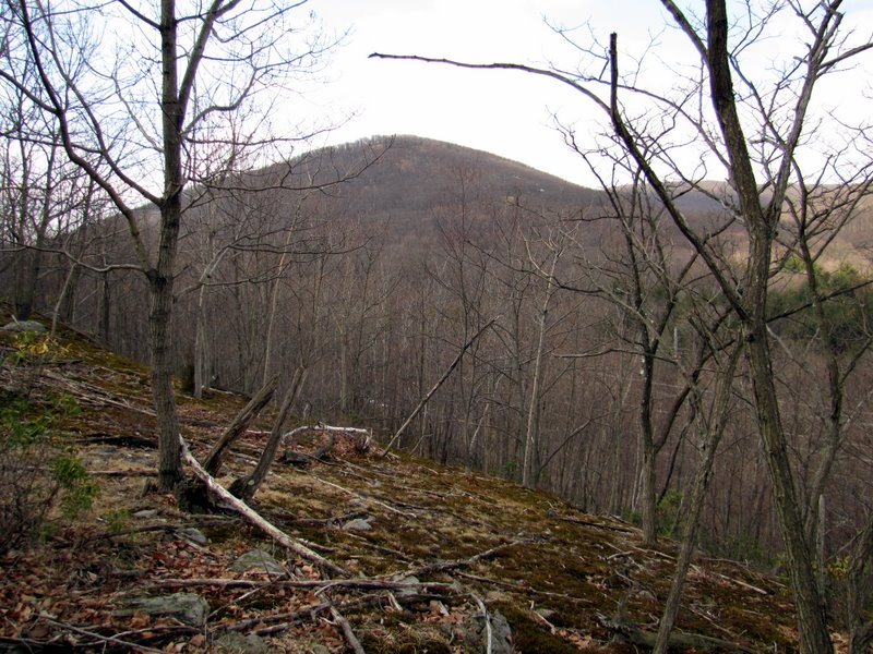
 At the top |
 The views are NW |
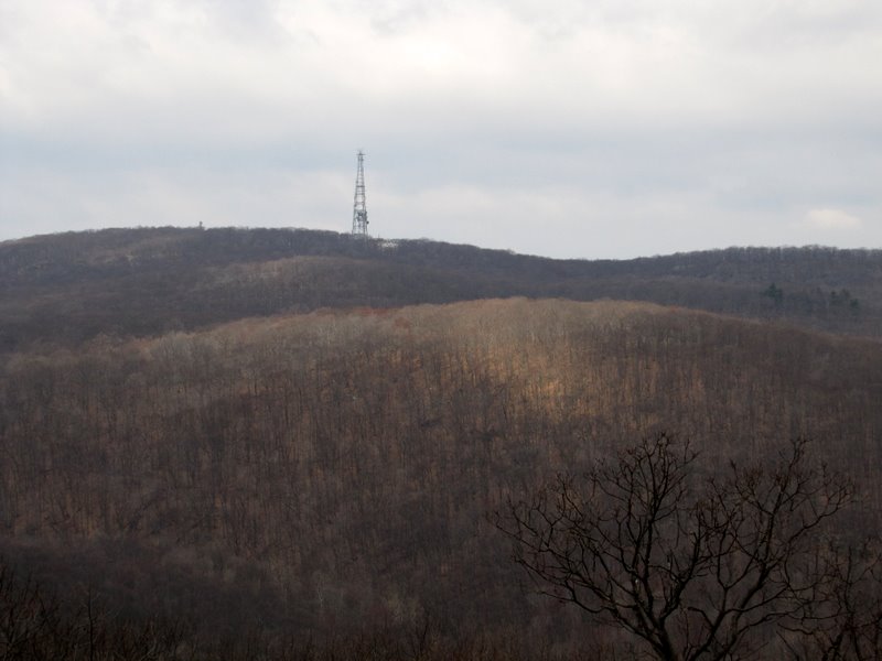 Aerial on Jackie Jones Mountain |
 View west |
 Looping at the top |
 |
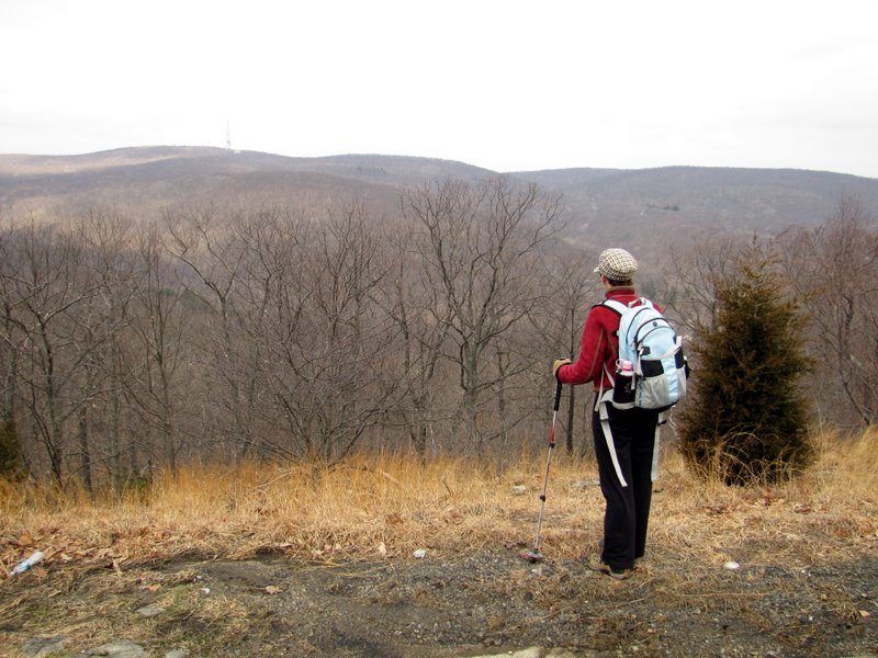 View NW to Harriman mountains |
 |
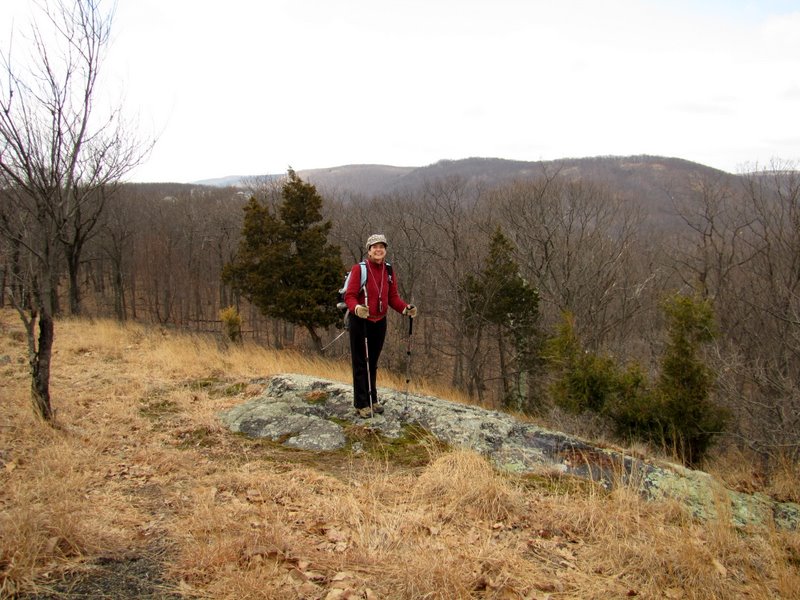
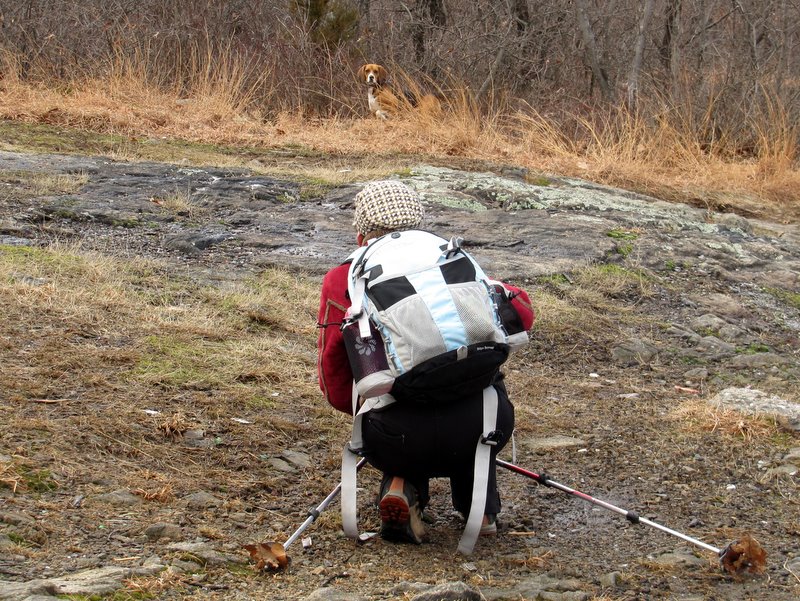 Laura and the beagle |
 View north to powerline cut |
 |
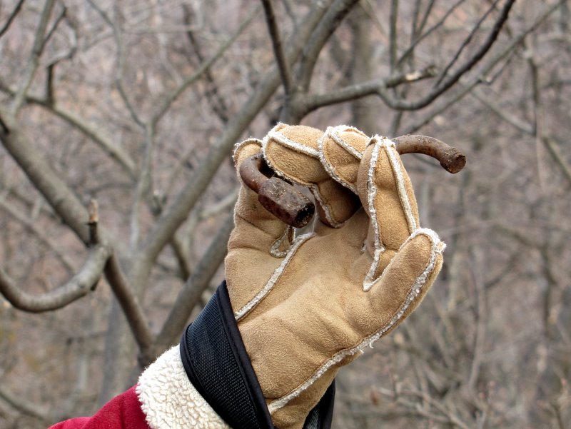 Remains of pipe? |
 |
 Continuing east from peak |
 |
 Another view north |
 Distant mountains north |
 |
 |
 View of the Tor |
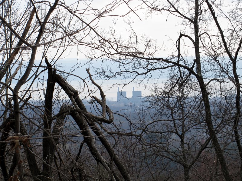 Power station (?) in Haverstraw |
 Ascending |
 |
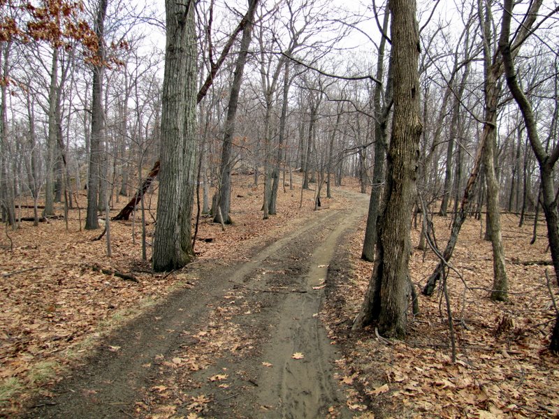
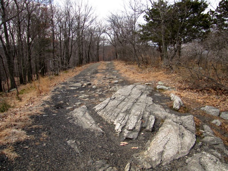
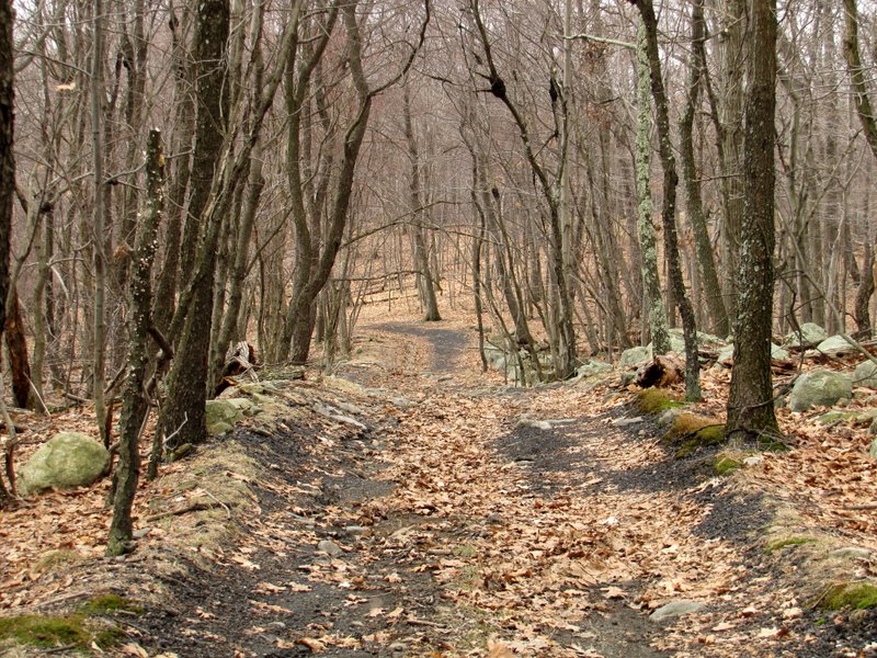 Inviting woods road |
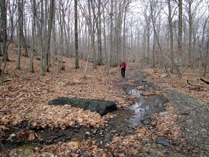
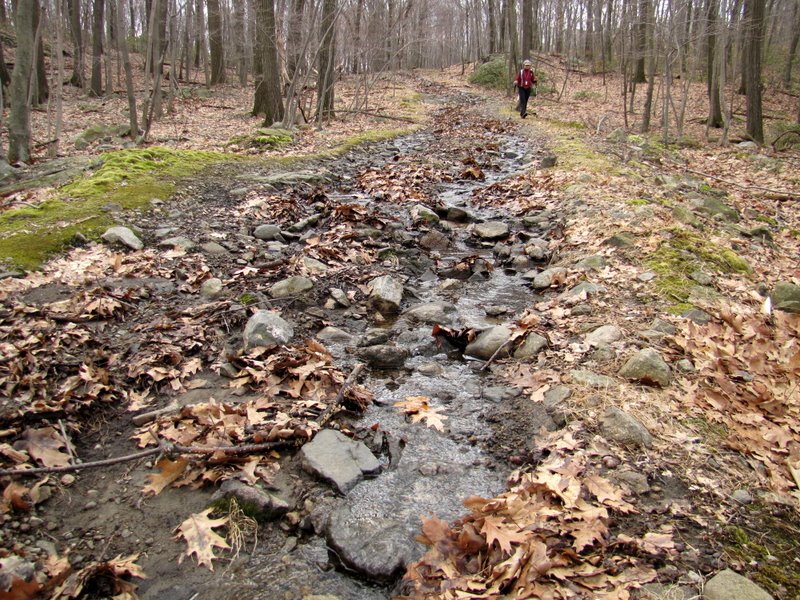 Back on the watery LP |
 Spring |
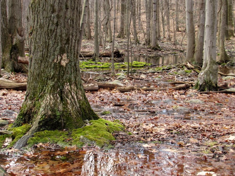 Swampy area |
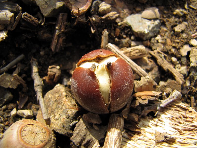 Acorn |
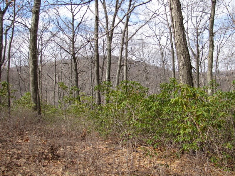 Green! Spring is coming! |
 Laura and her new friend ... |
 ... a skull car ornament |
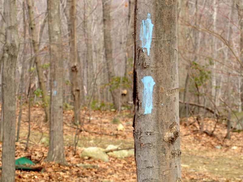 Blue trail? Not on map |
 View to Horse Chock Moutain |
 Deep drop to Call Hollow Road |
 |
 Grave is sagging |
 Letchworth Village Cemetery ... |
 ... looks a bit less solemn ... |
 ... in the sunshine |
 |

|
|
Photographs and content copyright © Dan Balogh Web design by Dan Balogh |