 |
|
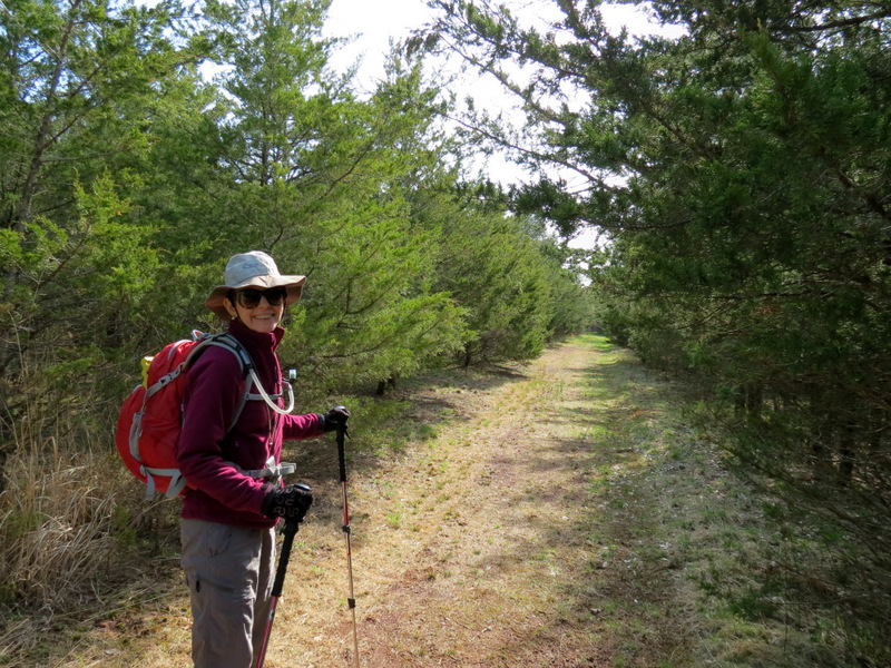
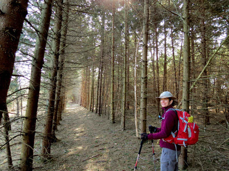
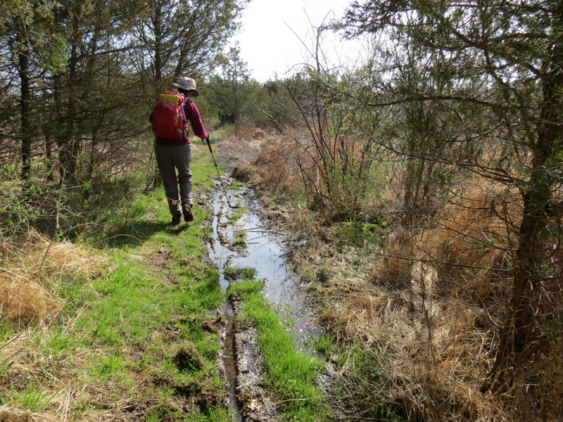
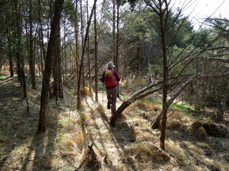
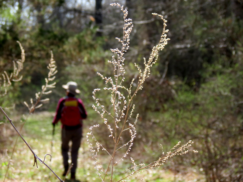
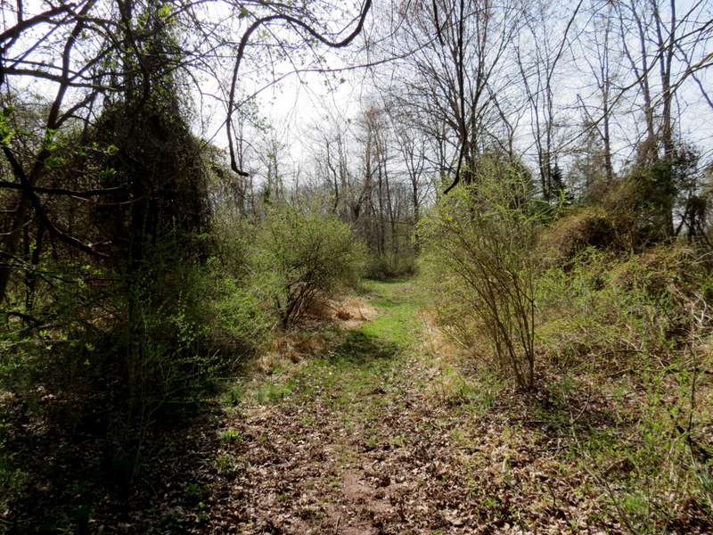
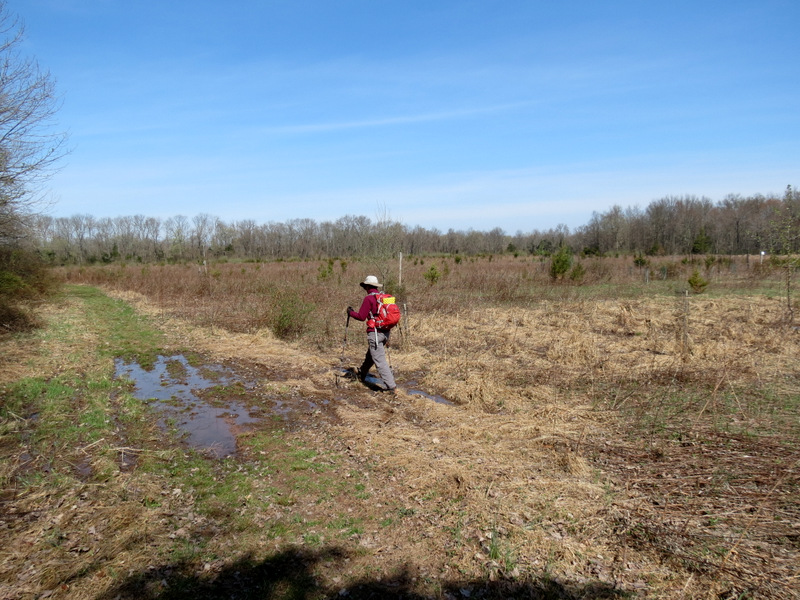
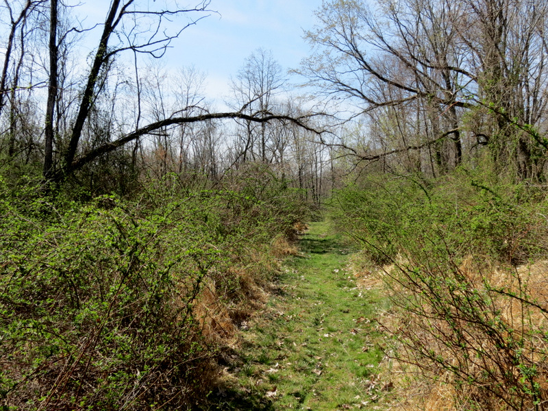
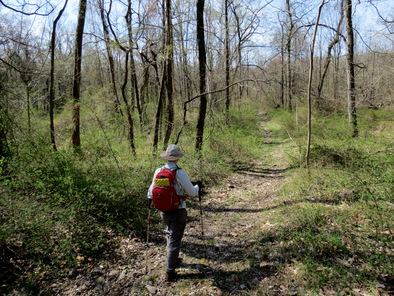
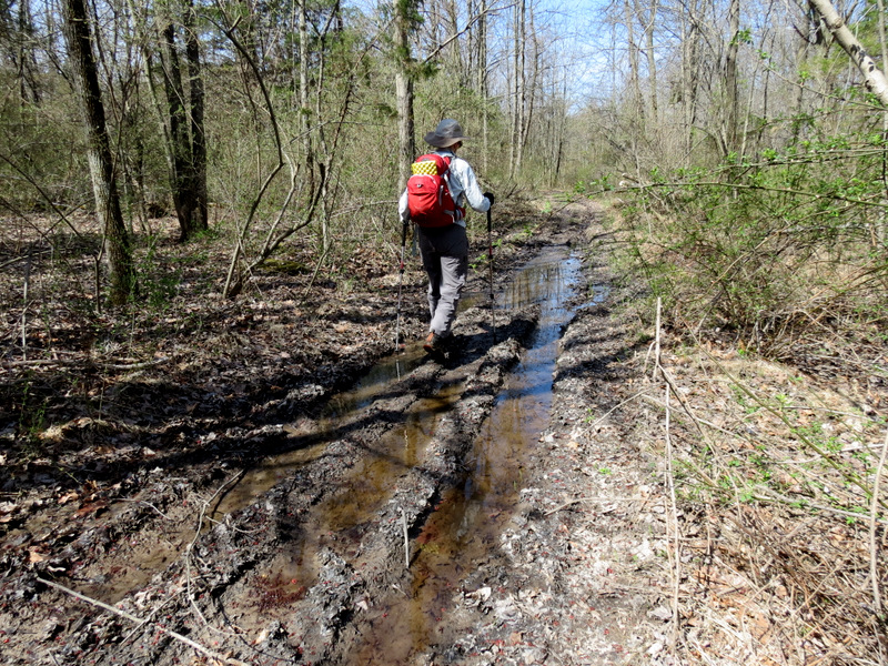
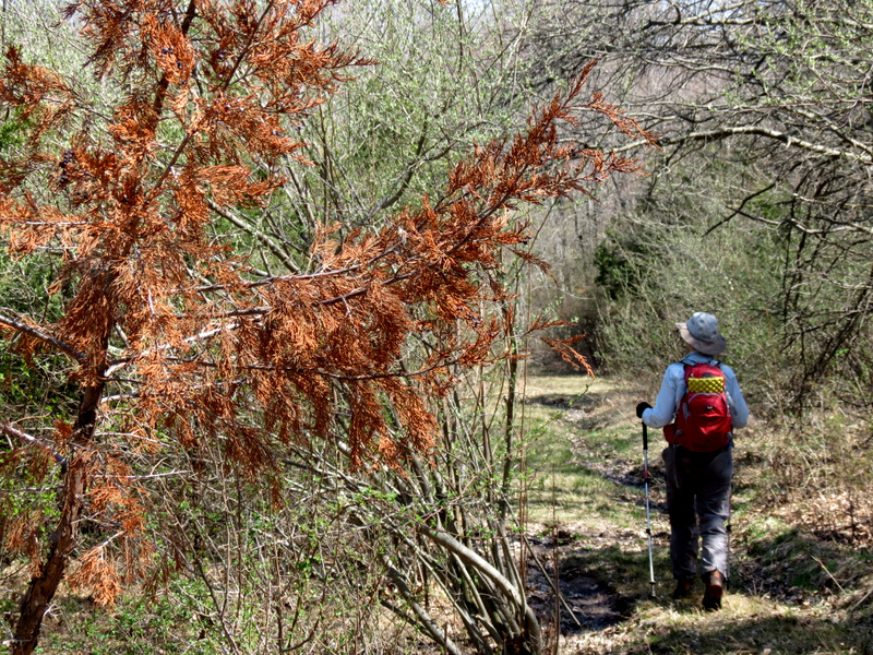
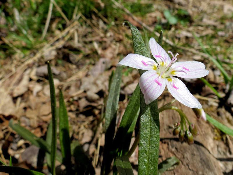
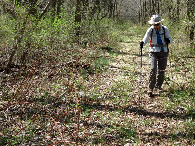
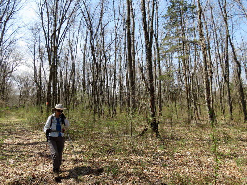
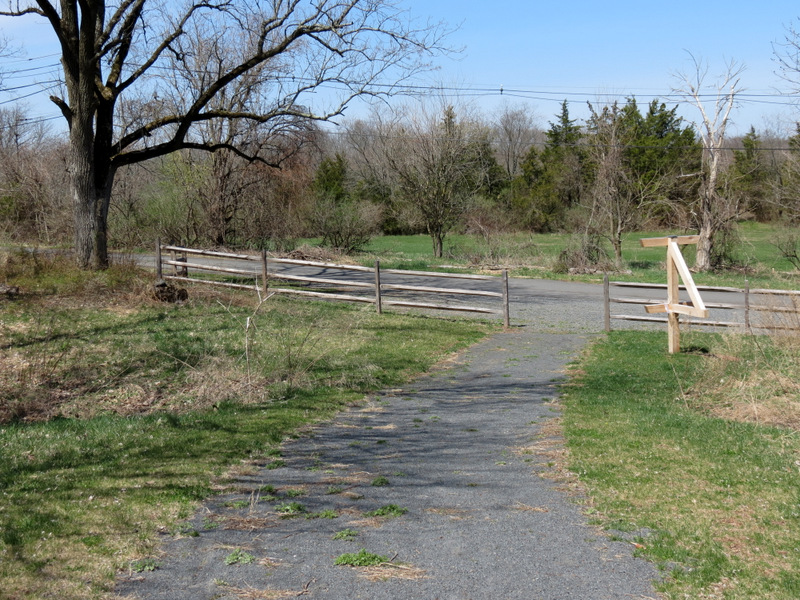
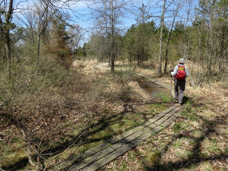
After a few unseasonably cold days, today was a perfect spring day. We headed west to this relatively small preserve which happened to contain a wide variety
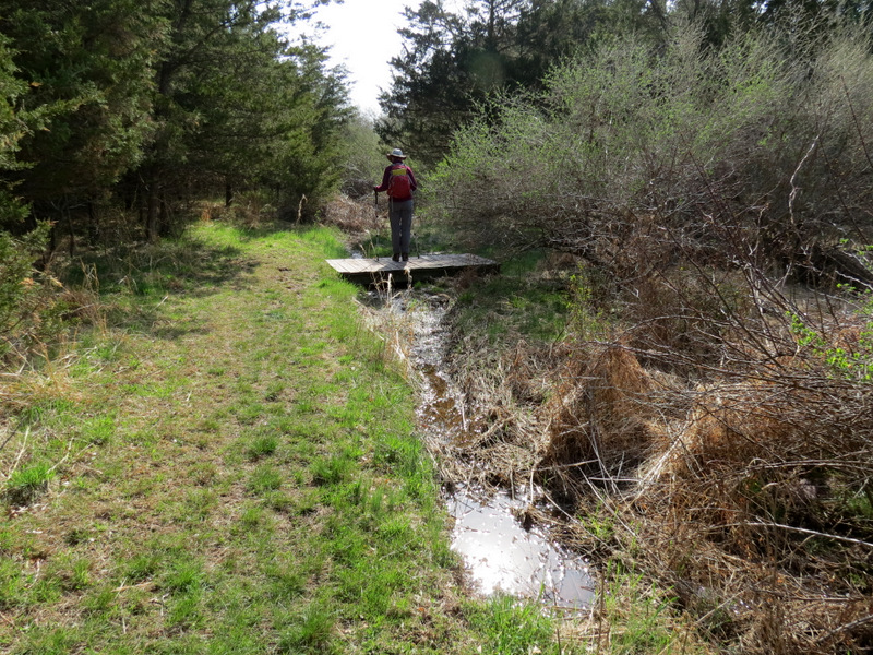
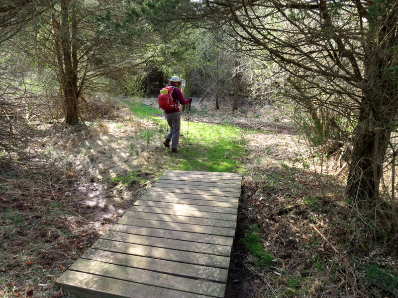
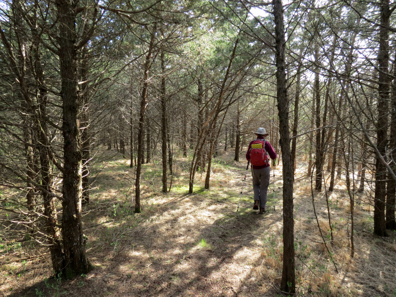
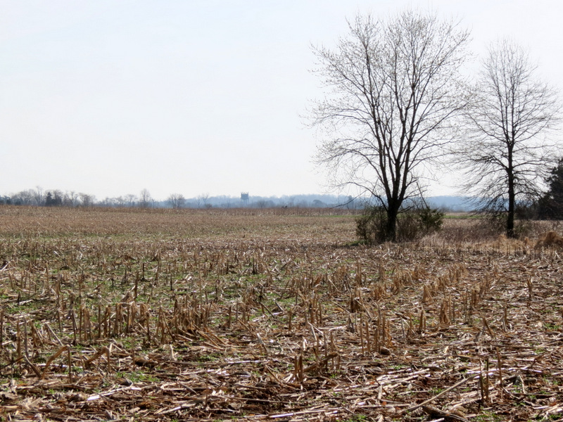
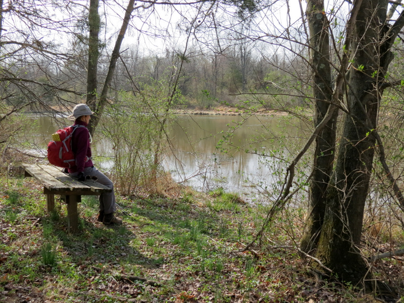
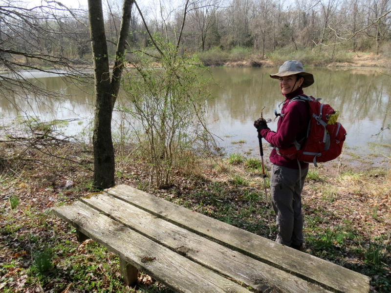
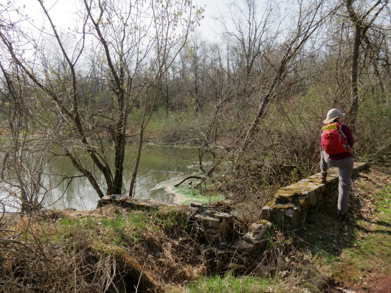
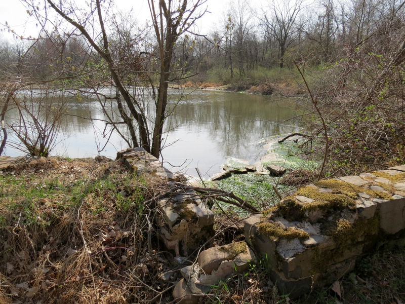
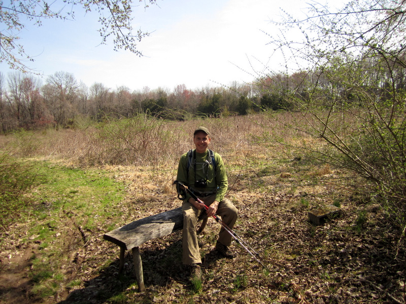
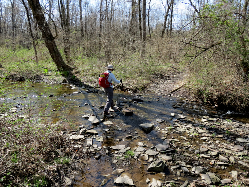
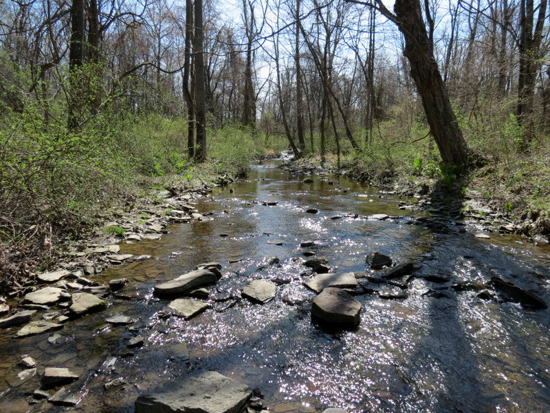
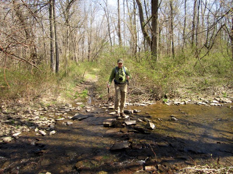
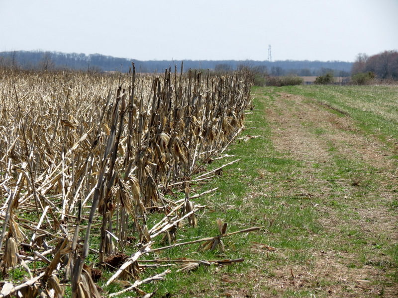
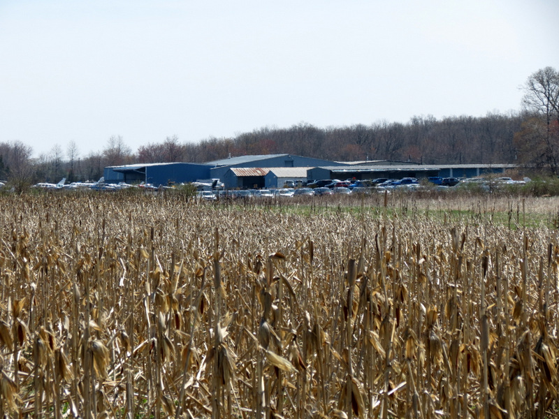
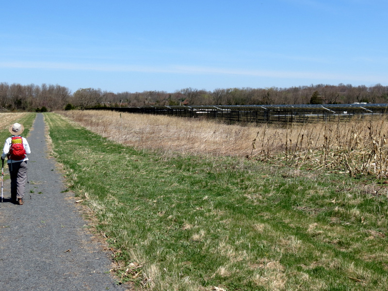
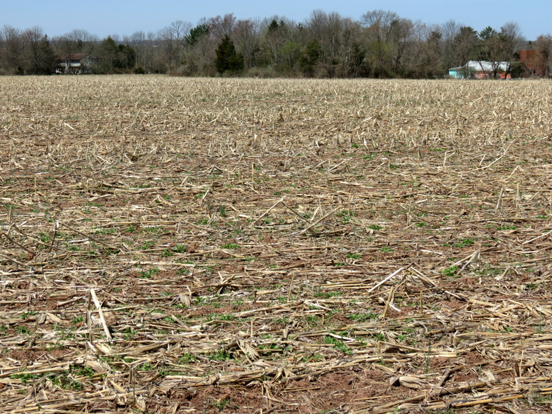
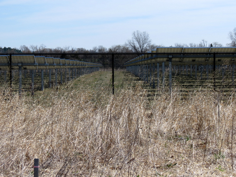
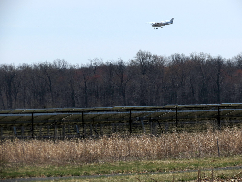
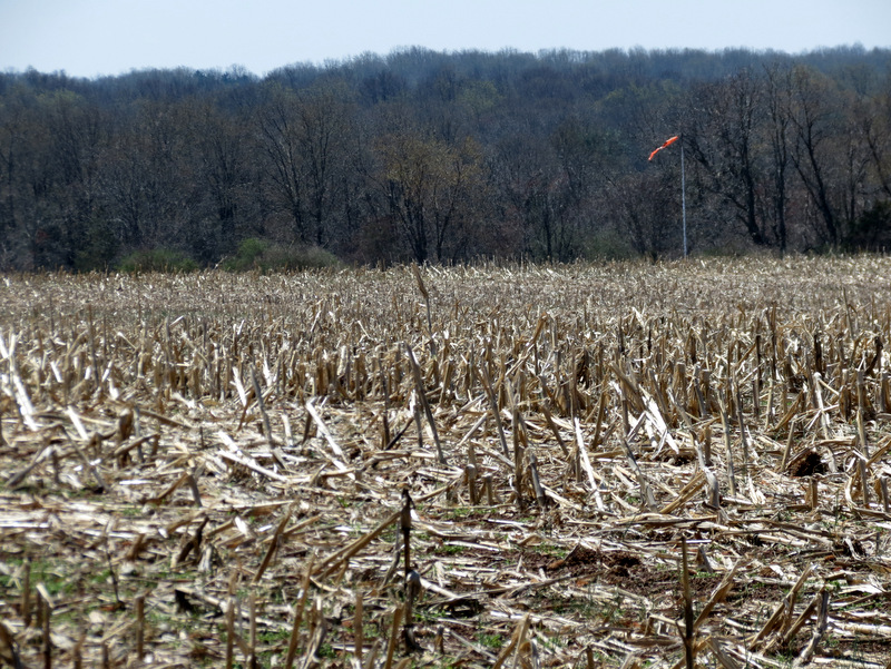
of scenery, including a stunningly beautiful pine-lined lane (near the very beginning), a picturesque little lake with wooden benches on both sides, a large corn
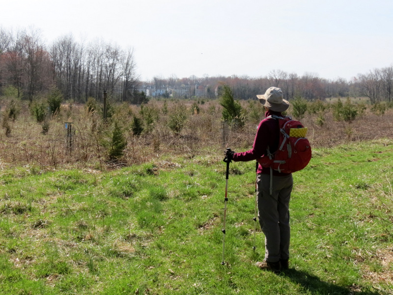
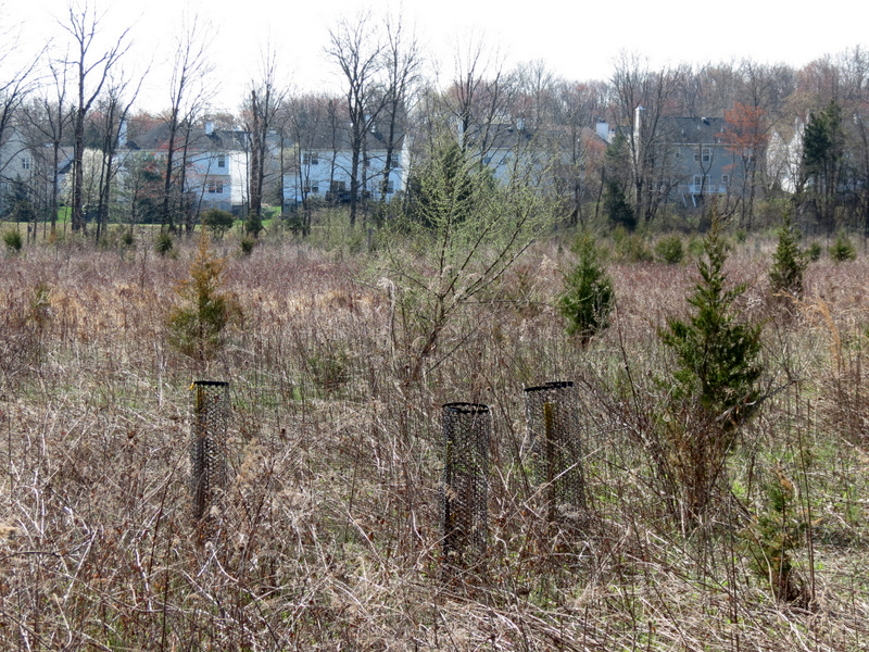
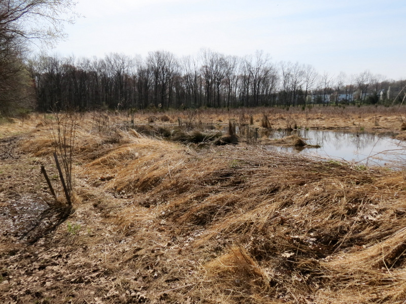
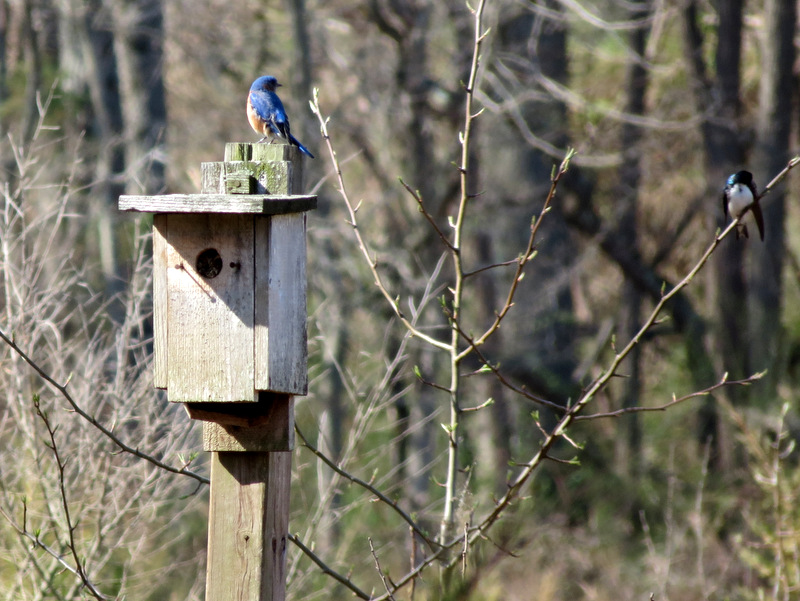
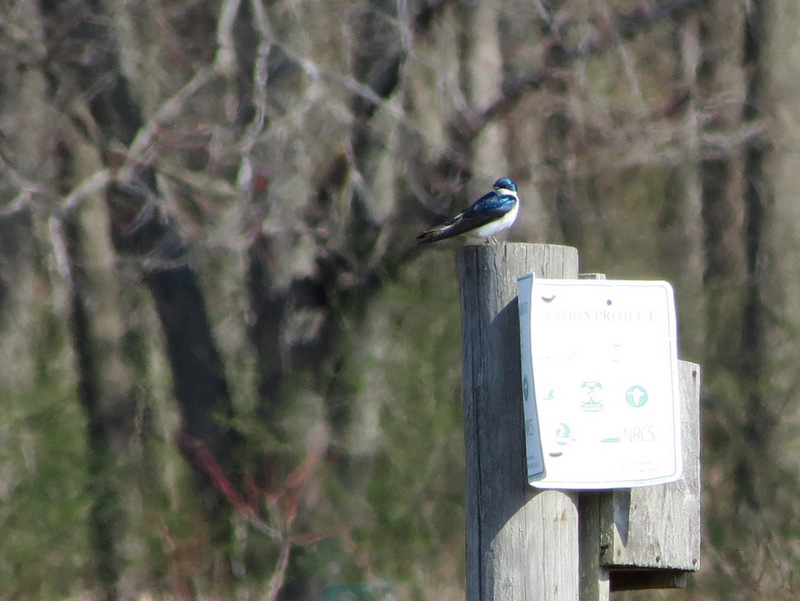
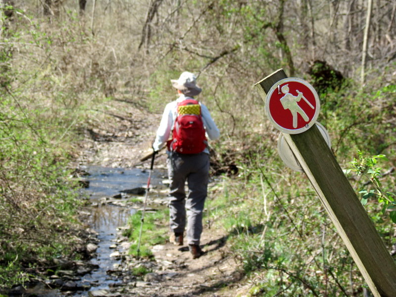
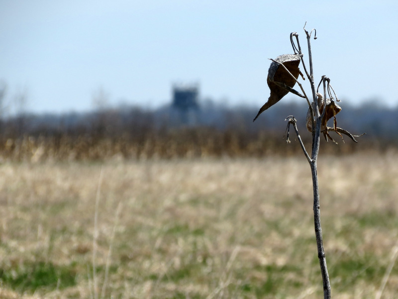
field with the adjacent Princeton airport and a large solar energy panel field, a couple of streams, an open field with birdhouses and swamps (and some very loud
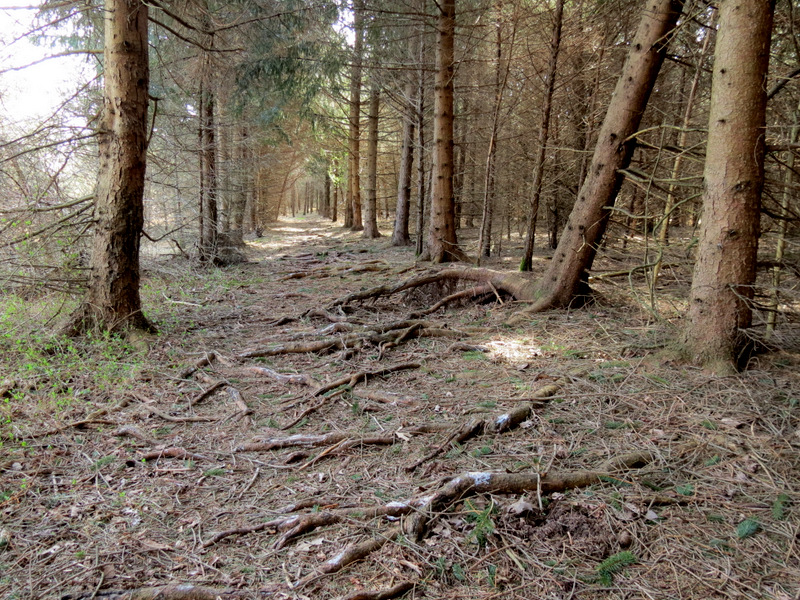
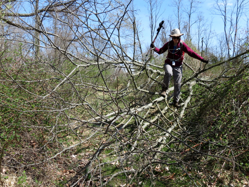
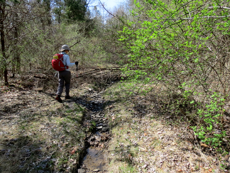
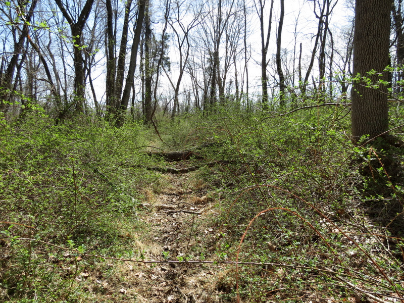
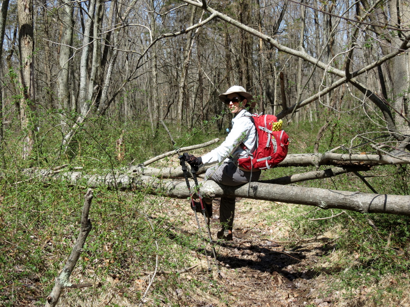
frogs) and just plain old forest. Some of the trails had some pretty nasty nasty brambles (don't try this with shorts) and there was at least one difficult blow-down
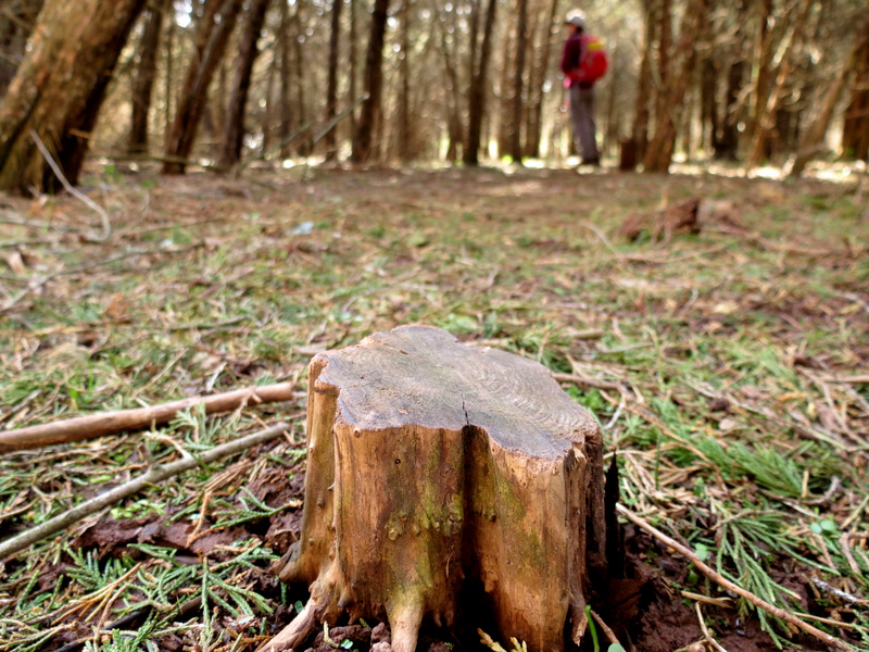
to get past (twice), but the hiking was fun and very varied.
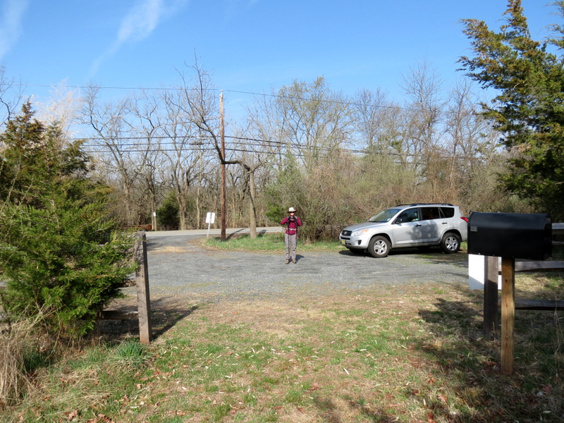
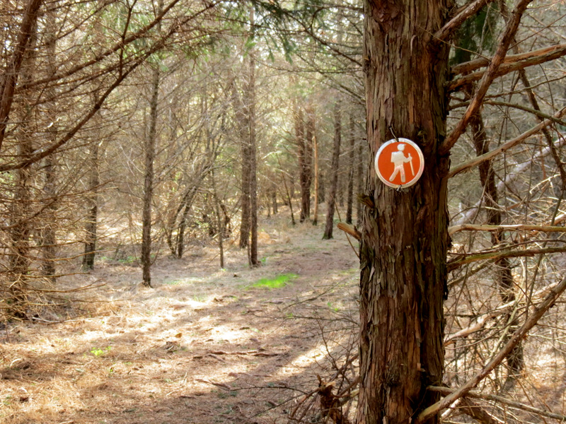
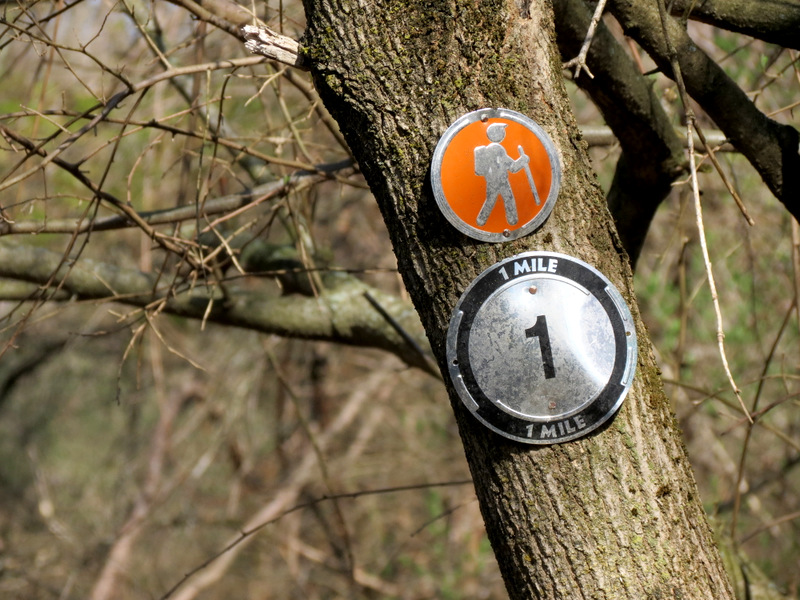
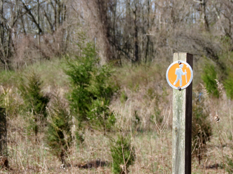
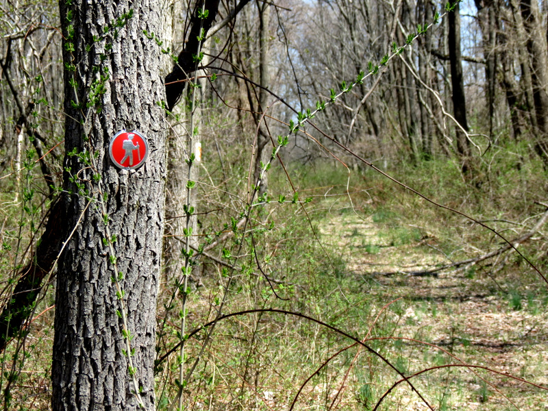
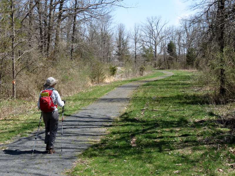
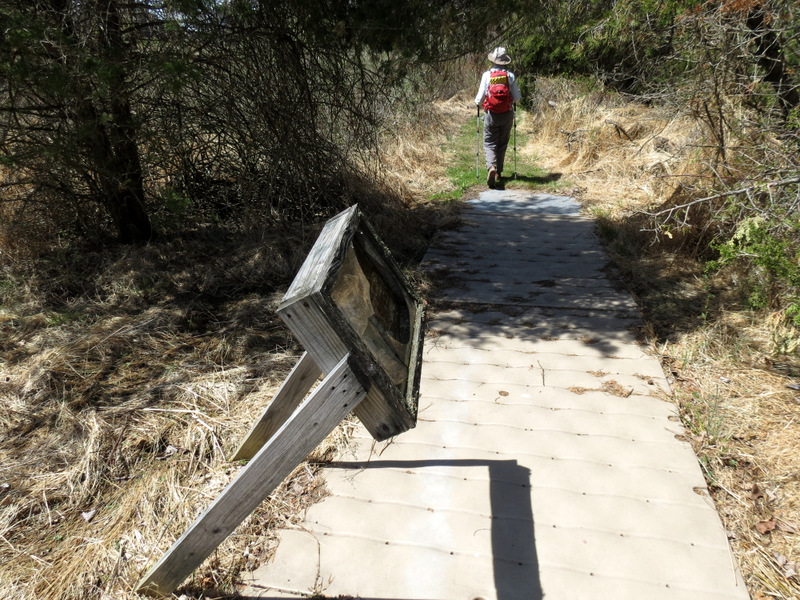
We parked in the lot on Cherry Hill Road and headed east, hiking just about every trail on this map. And not all the tracks are even on this map! We saw only one other person all morning. Despite the fact that it's close to an air field, and a huge condo complex, it felt remote for a good part of the time. Total distance hiked today was 4.9 miles in 3 hours and 15 minutes.
|
 |
 |
 |
 |
 |
 |
 |
 |
 |
 |
 |
 |
 |
 |
 |
 |
 |
 |
 |
 |
 |
 |
 |
 |
 |
 |
 |
 |
 |
 |
 |
 |
 |
 |
 |
 |
 |
 |
 |
 |
 |
 |
 |
 |
 |
 |
 |
 |
 |
 |
 |
 |
 |
 |
 |
 |
 |
 |
 |
 |
 |
 |
 |
 |
 |
 |
 |
 |
 |
 |
 |
 |

|
|
Photographs and content copyright © Dan Balogh Web design by Dan Balogh |