 |
|
Three years ago we hiked this area east of Edison Road, exploring the expansive remains of Thomas Edison's
Edison Concentrating Works. Today we decided to head back and hike the area west of the road.
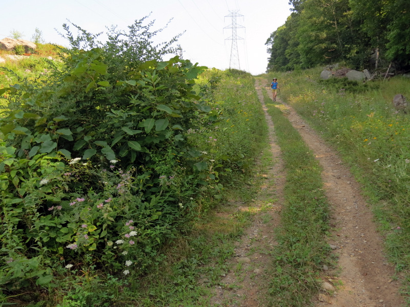
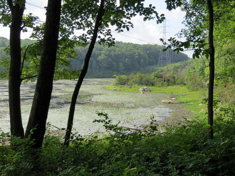
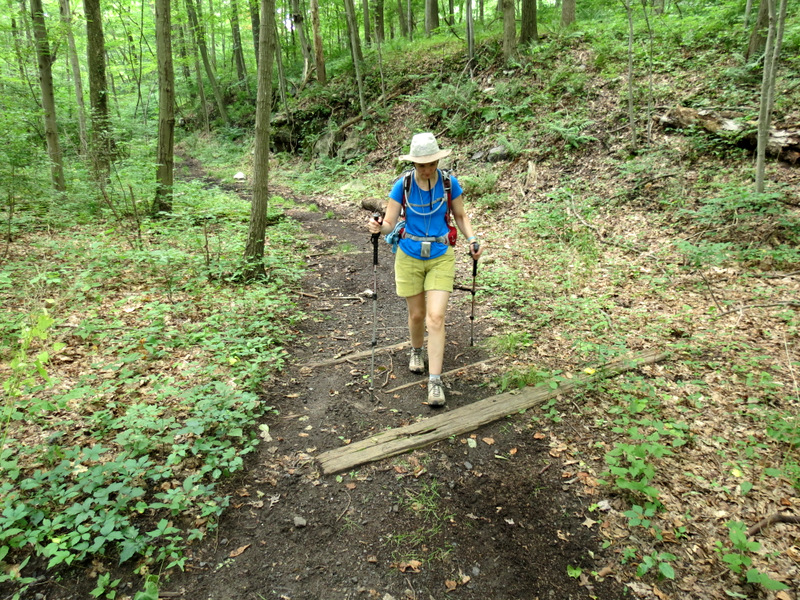
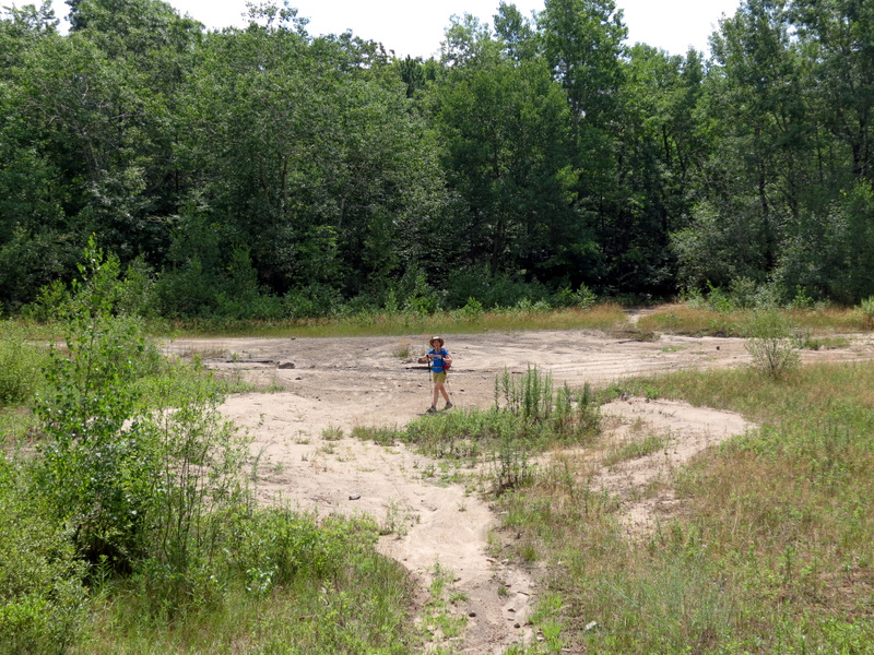
We parked at the Edison Monument and then headed past it north on a woods road, exploring a bit of the ruins and gaping open mines before crossing Edison Road continuing on the western side. The woods road, though a bit difficult to find from Edison Road, is easy to follow heading west. After getting to the power line cut we turned left, taking in some nice views NW, albeit obstructed by the pylons and powerlines. We took the meandering path in the cut south to Collins Lake, a large and incredibly beautful lake that sits for the most part below the power lines. But you hardly notice them. What you do notice is the solitude. It feels as if you are in the middle of nowhere. We spotted a beaver or an otter swimming to the bank towards us but, as luck would have it, he submerged as soon as I readied my camera and began zooming. After reaching the southern bank of the lake we continued south along the cut next taking a woods road east until we reached yet another woods road, indicated as Ridge Road on Google Maps, which we took north. We took several spurs west to abandoned mines that were fenced in because of the danger they presented. We next turned right on the woods road labeled Triangle Road on Google Maps, crossed Edison Road and then descended to the abandoned RR bed which we took north back to the car. Total distance today was 5.2 miles in 3.5 hours. The heat and humidity were a bit onerous so we're glad that the hike was mostly level, with just a few climbs along the powerline cut and on Ridge Road.
|
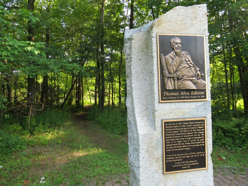 Edison Monument |
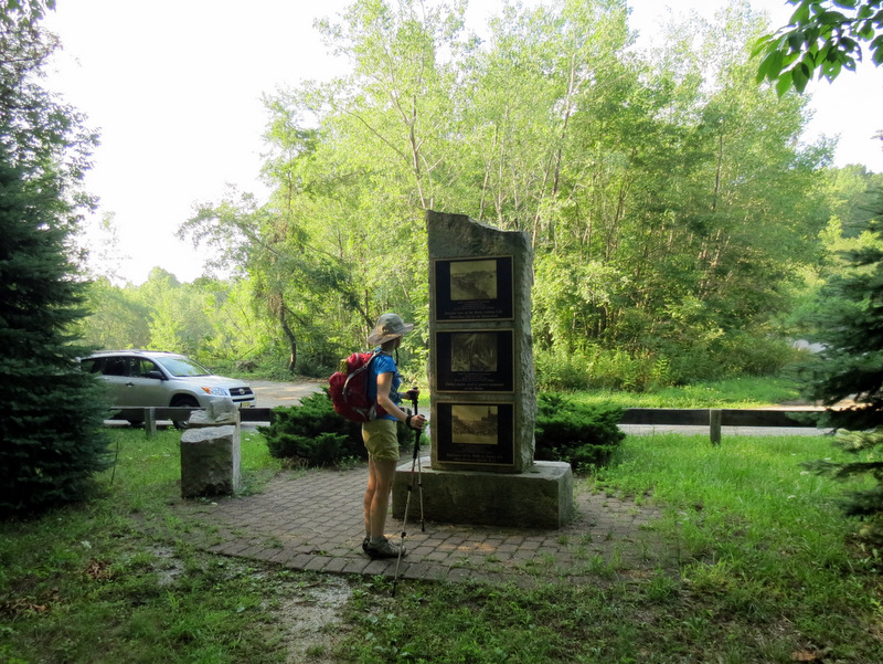 Rear view |
 Kids! At least they got the top hat right |
 Ruin of Corliss Engine House |
 Sink hole at Corliss Engine House |
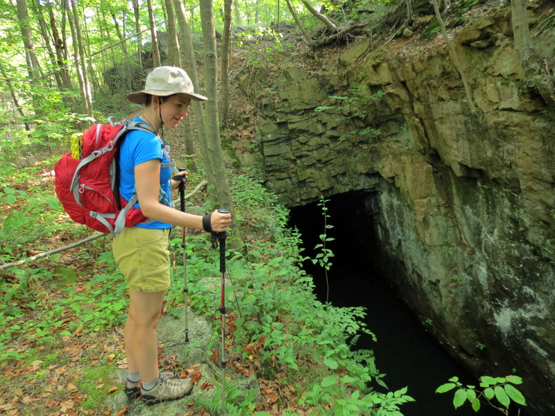 Gaping hole of Roberts Mine |
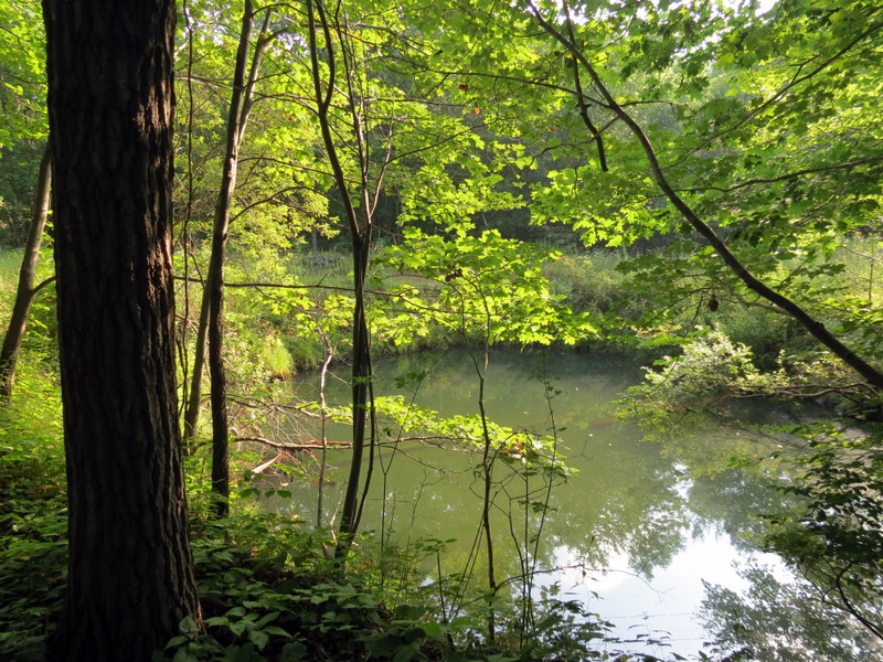
 Water in quarry |
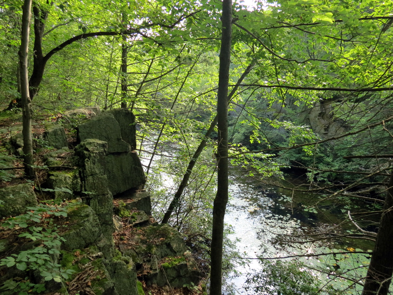 View to quarry |
 |
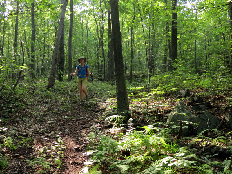
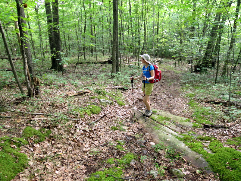
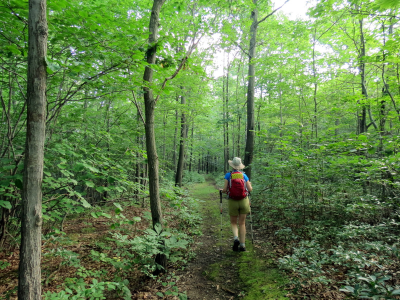 Woods road |
 |
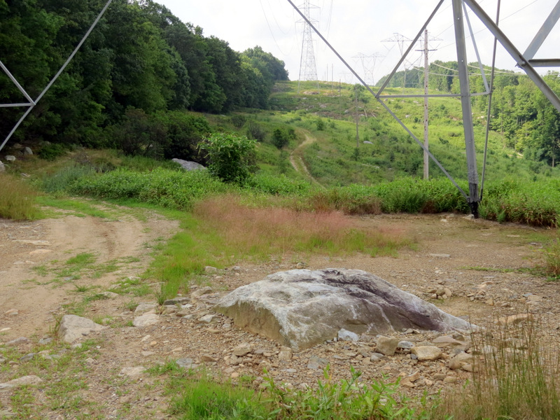
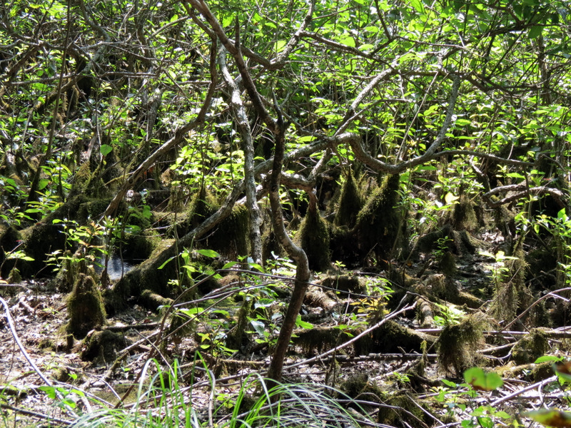
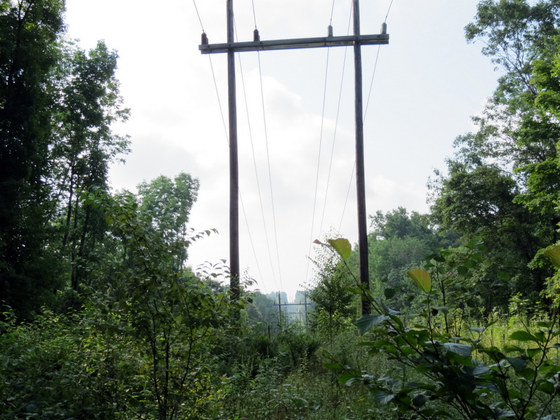 Old powerline cut |
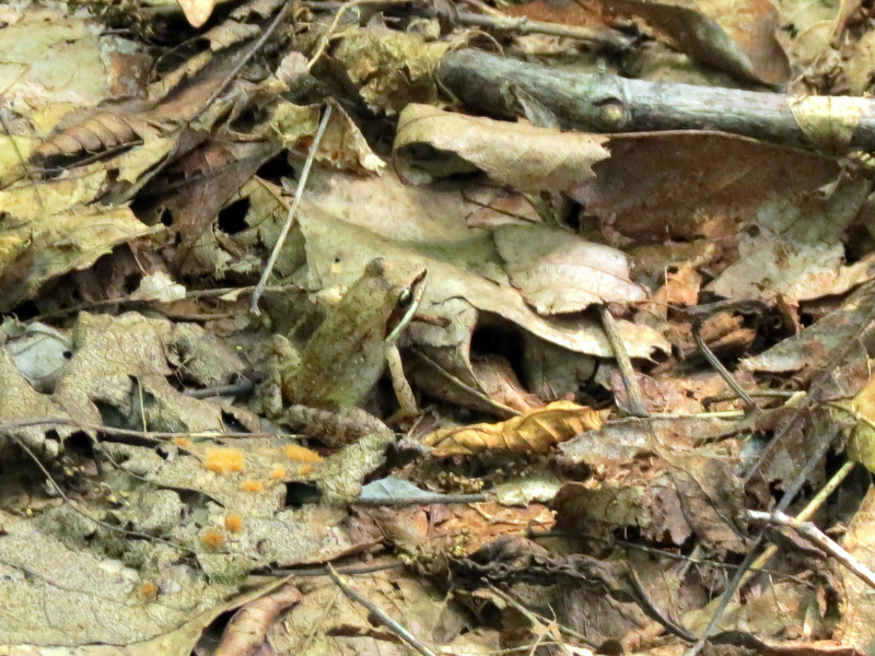 Tiny frog |
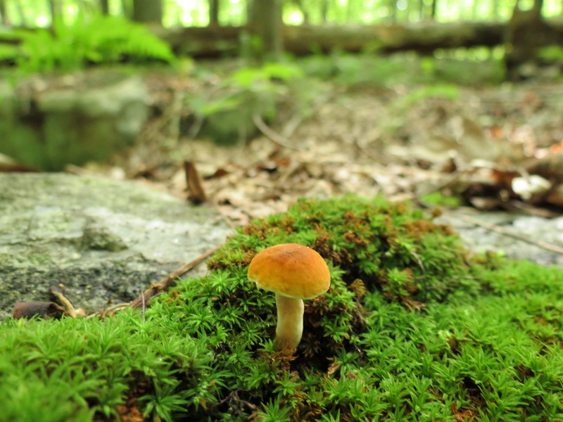 Tiny mushroom |
 |
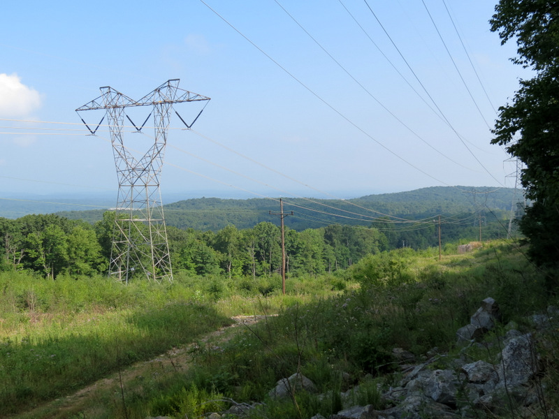 View NW from cut |
 |
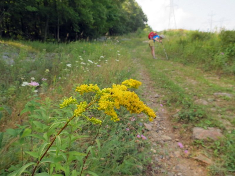 Goldenrod in cut |
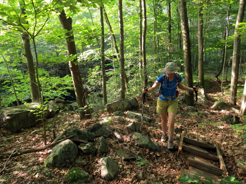
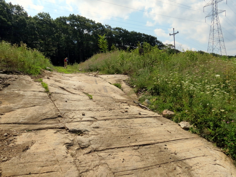
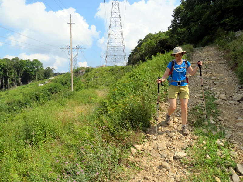
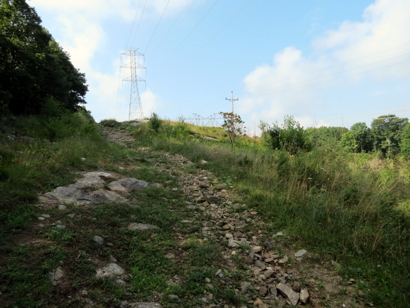 Rocky climb in the cut |
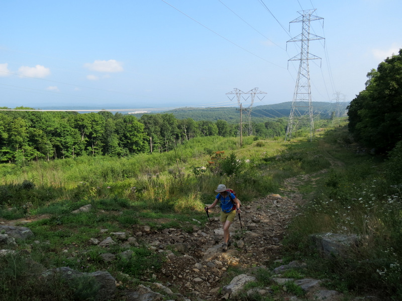 View north |
 Zoom to quarry |
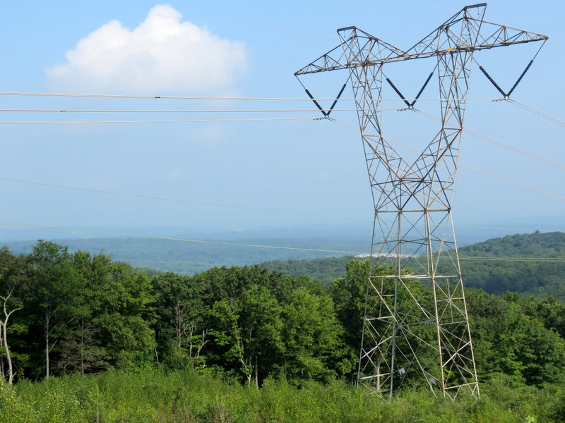
 Pylon pollution |
 View south |
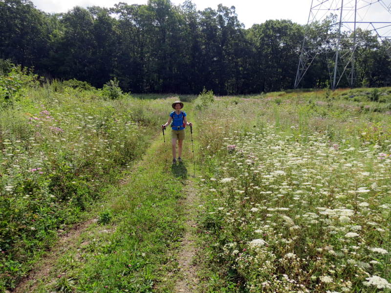
 Wildflowers abound |
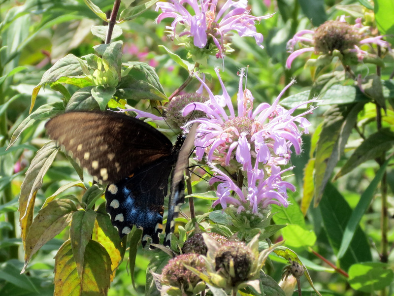 Black swallowtail |
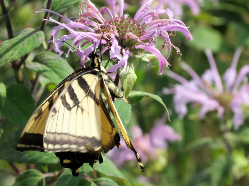 Yellow swallowtail |
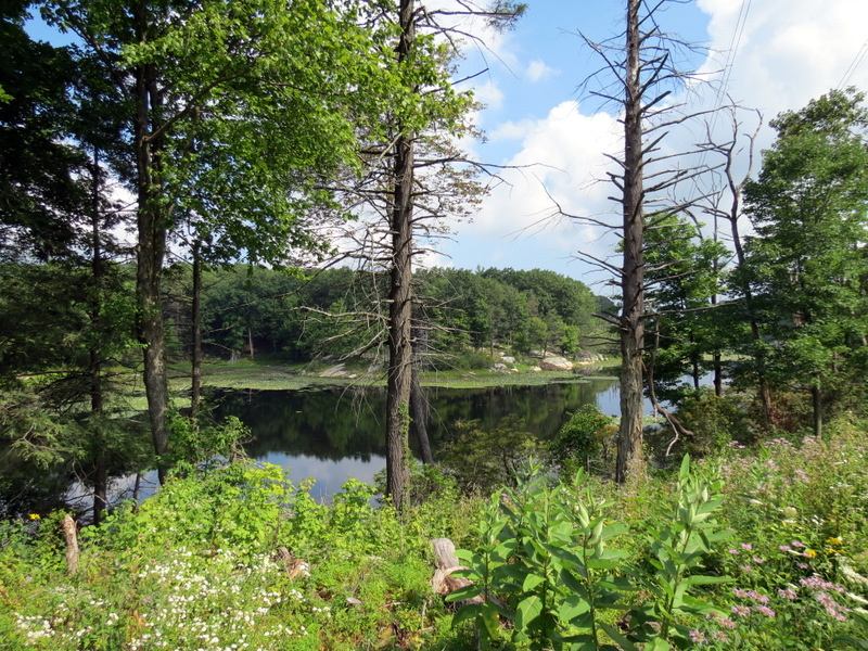
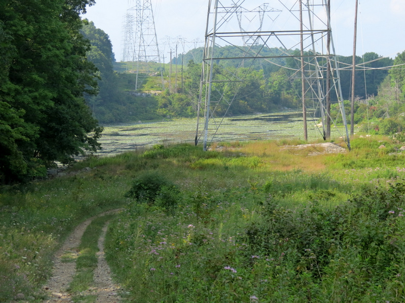 First glimpse of Collins Lake |
 |
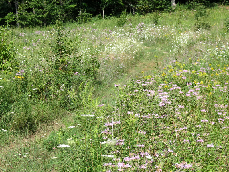 Look at all ... |
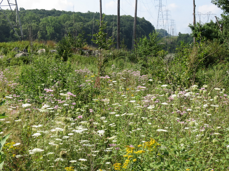 ... of those ... |
 ... flowers! |
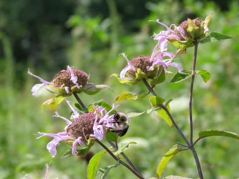 Busy bee |
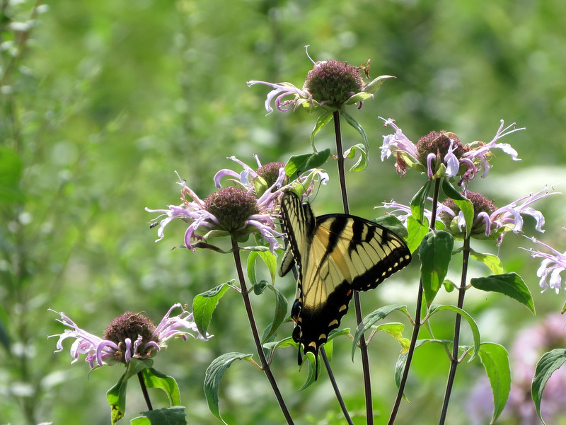 Busy swallowtail |
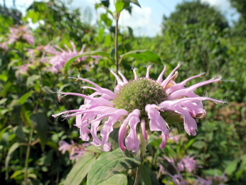 Flower macro |
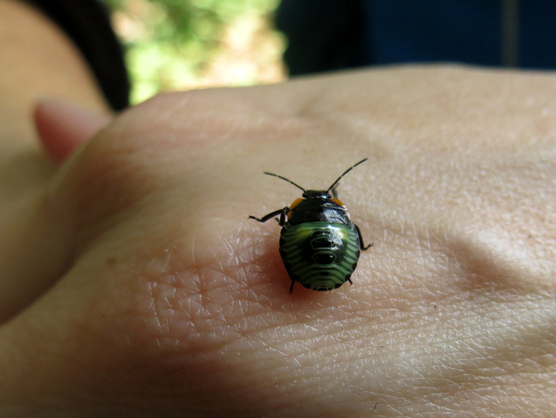 Beetle |
 |
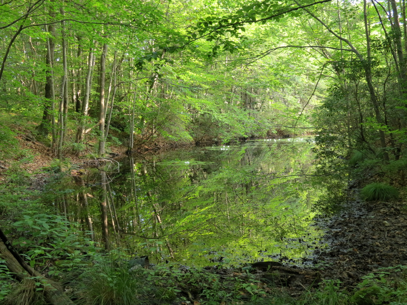
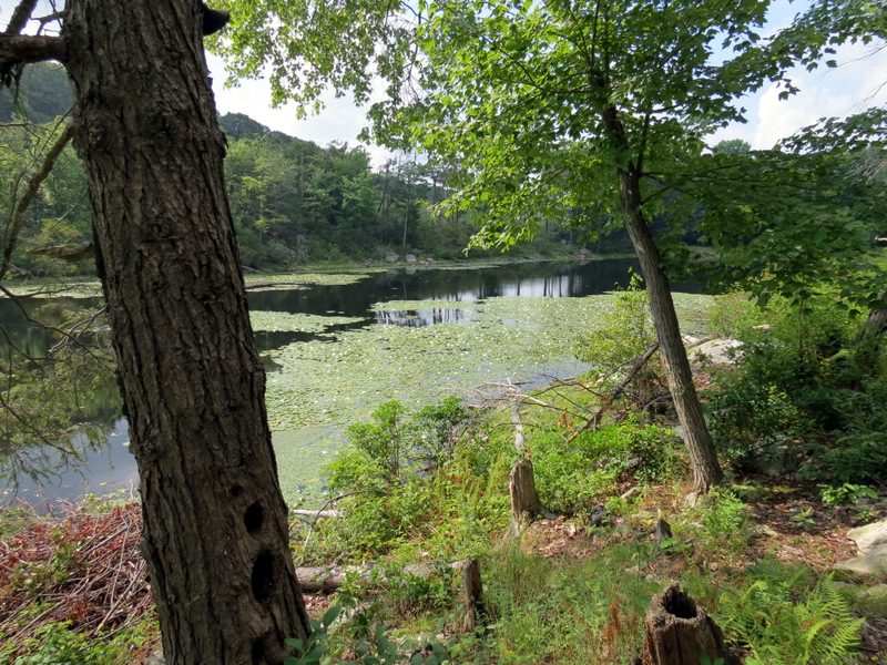
 Lake through trees |
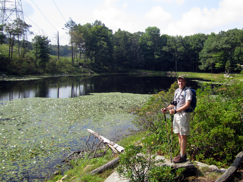
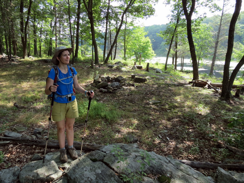
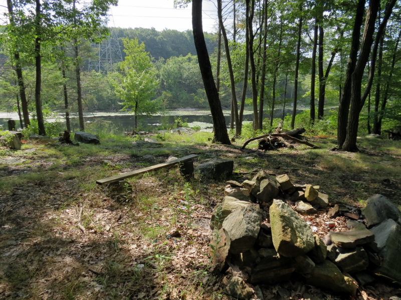 Fire ring and bench |
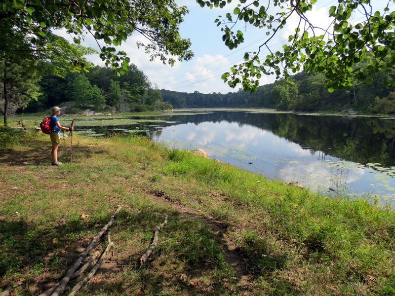
 View south |
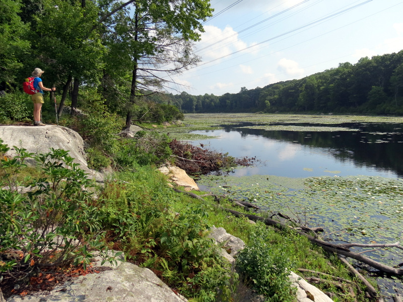 View north |
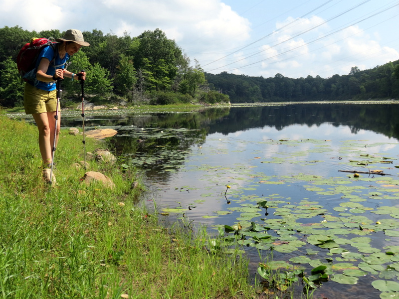
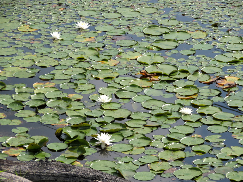 Lily pads |
 [photo by Laura] |
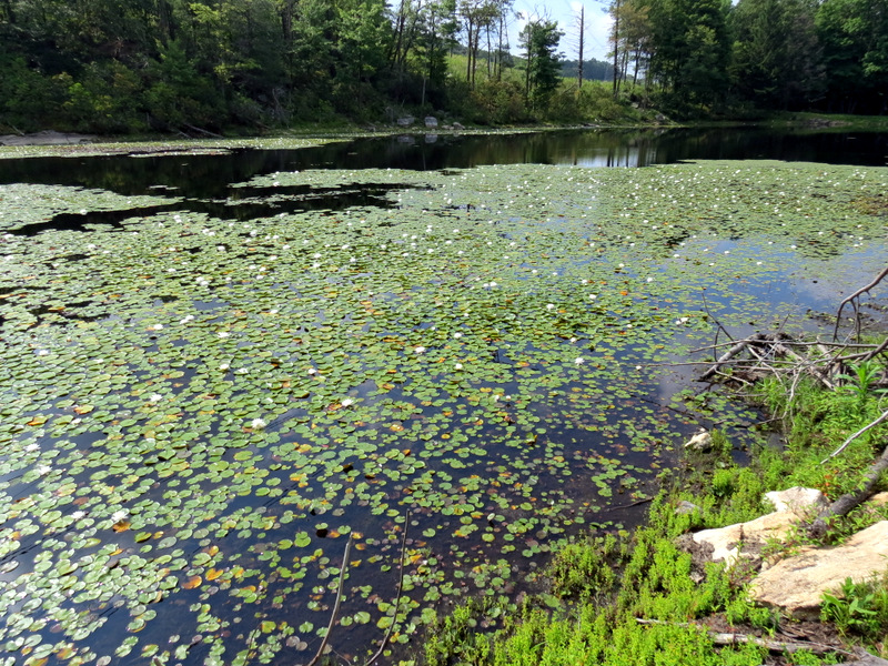 Gorgeous blanket of lily pads |
 |
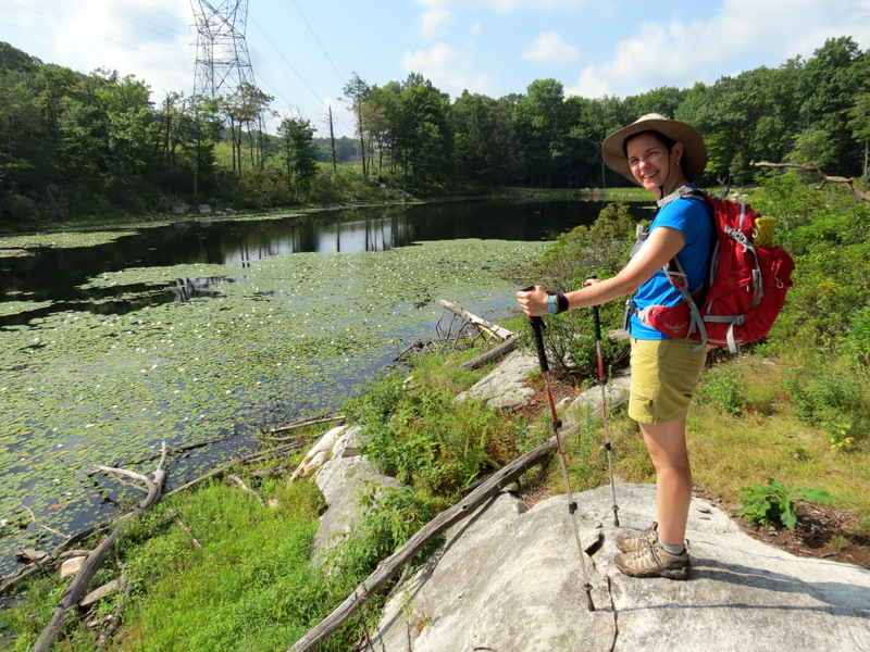
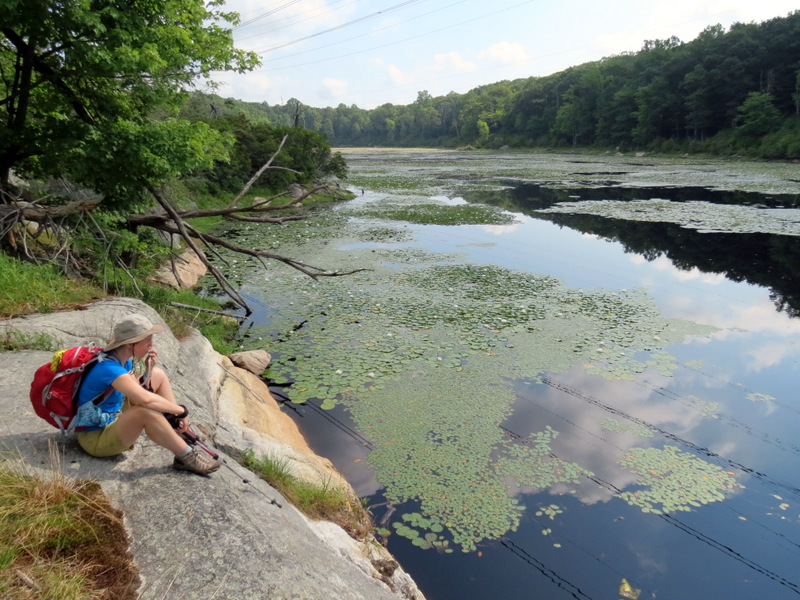 Taking ... |
 ... a breather |
 Southern tip |
 |
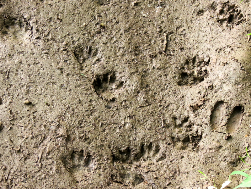 Critter tracks in mud |
 Near southern tip |
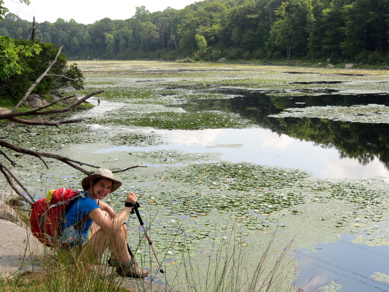
 Collins Lake ... |
 ... from southern tip |
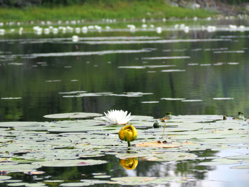 Lotus flower and bud |
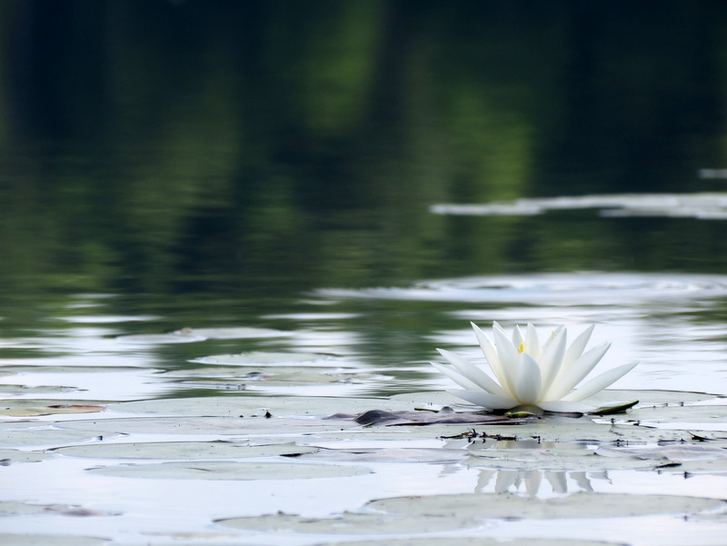 Lotus flower |
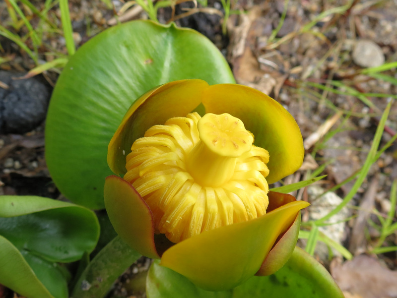 Bud |
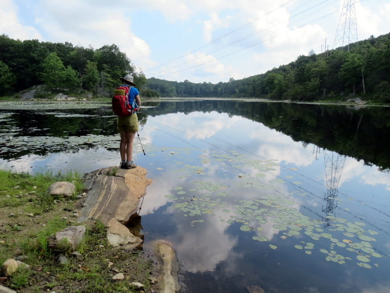 View north from southern tip |
 View of dam |
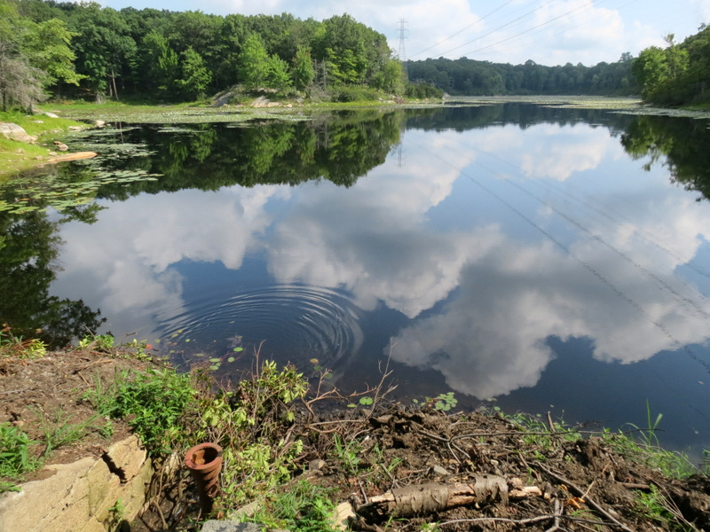 Reflections |
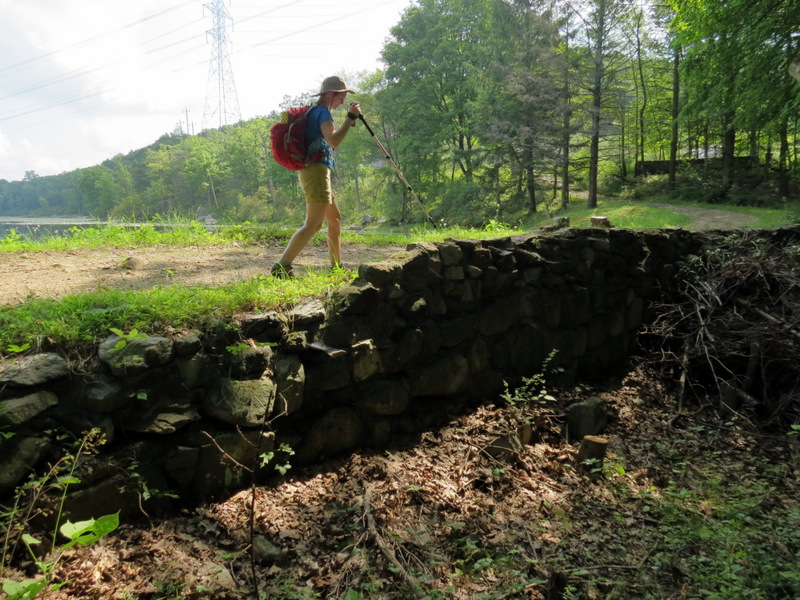
 Ruins south of lake |
 |
 Back into cut |
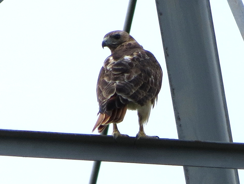 Red-tailed hawk on pylon |
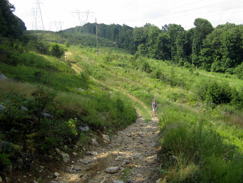
 Meandering path through pylons |
 Rocky descent |
 Dan in cut [photo by Laura] |
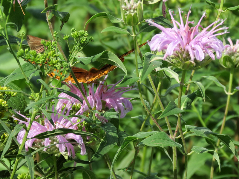 Gorgeous butterfly |
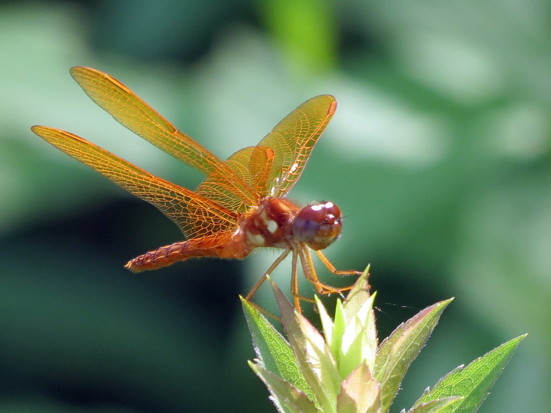 Tiny dragonfly |
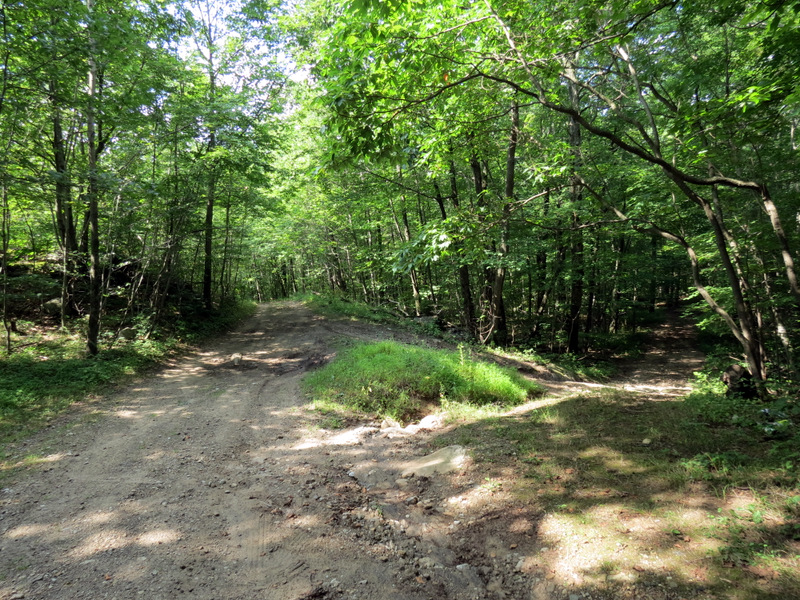 Ridge road & another woods road |
 |
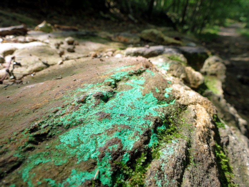 Striking aqua moss |
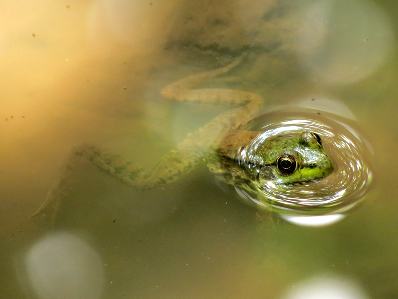
 Puddle frog |
 |
 Woods road spur |
 Another puddle frog |
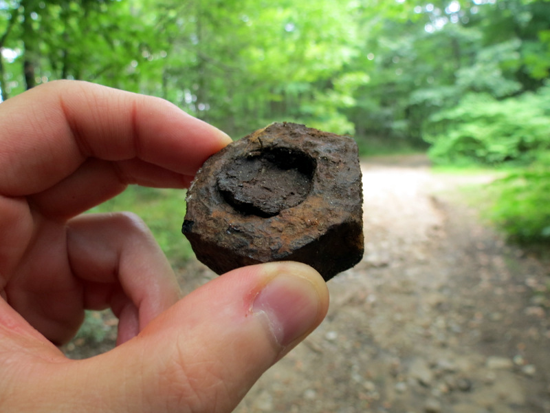
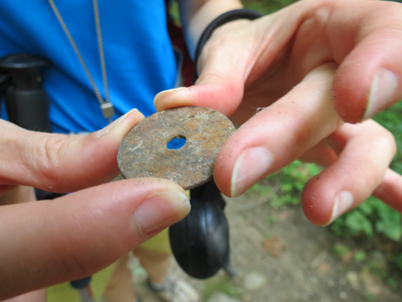 Washer? |
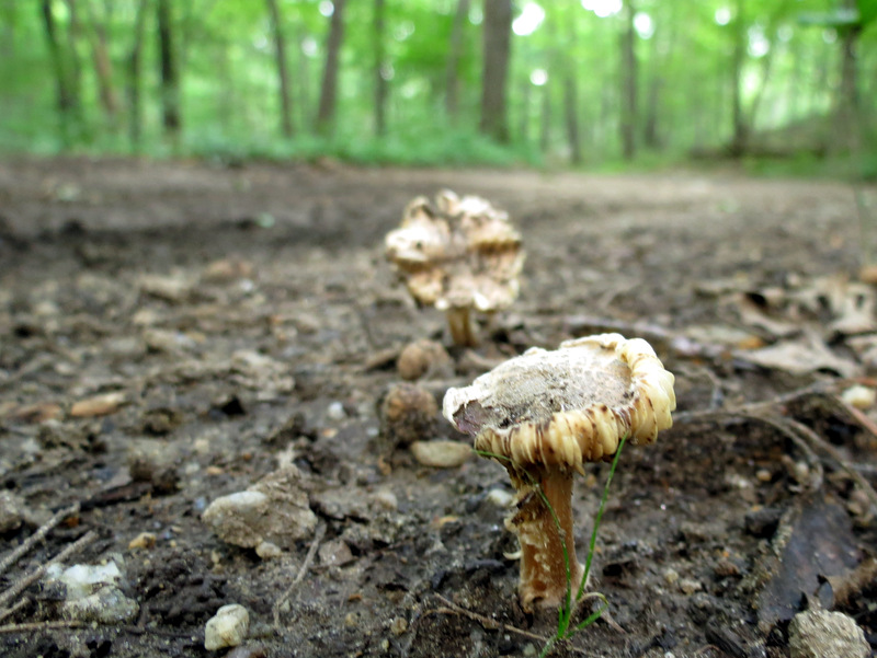 Mushrooms |
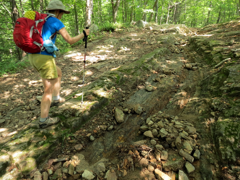
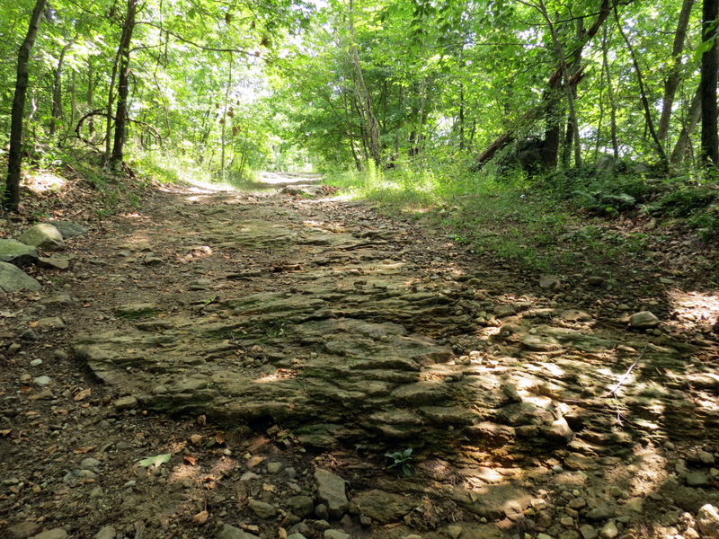 A rocky Ridge Road |
 [photo by Laura] |
 Nut |
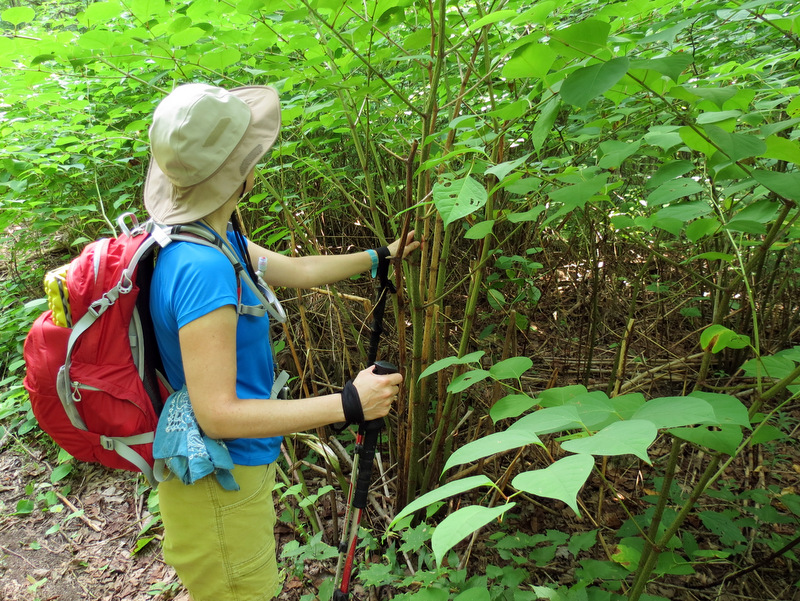 Bamboo |
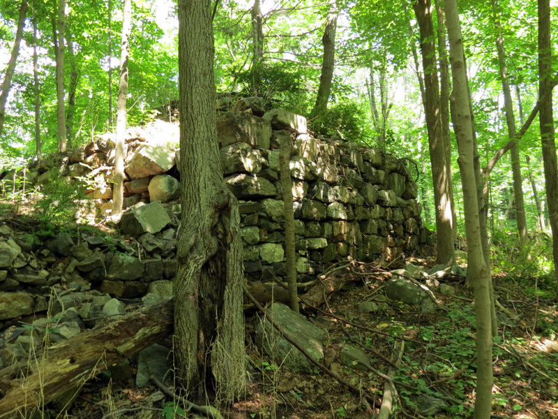 Ruins on Triangle Road |
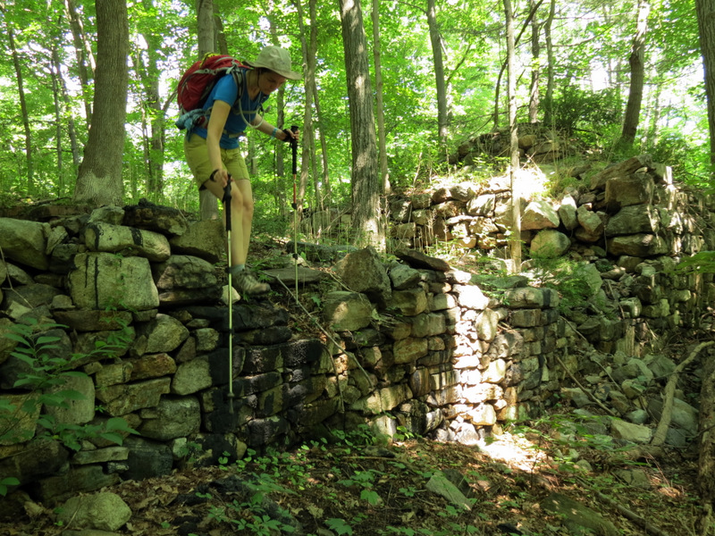 Solid wall |
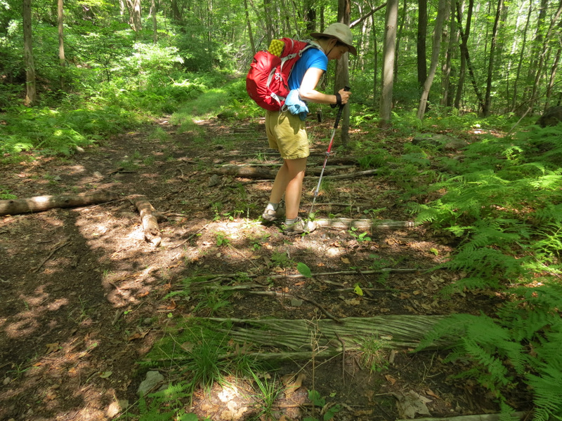
 On RR bed |
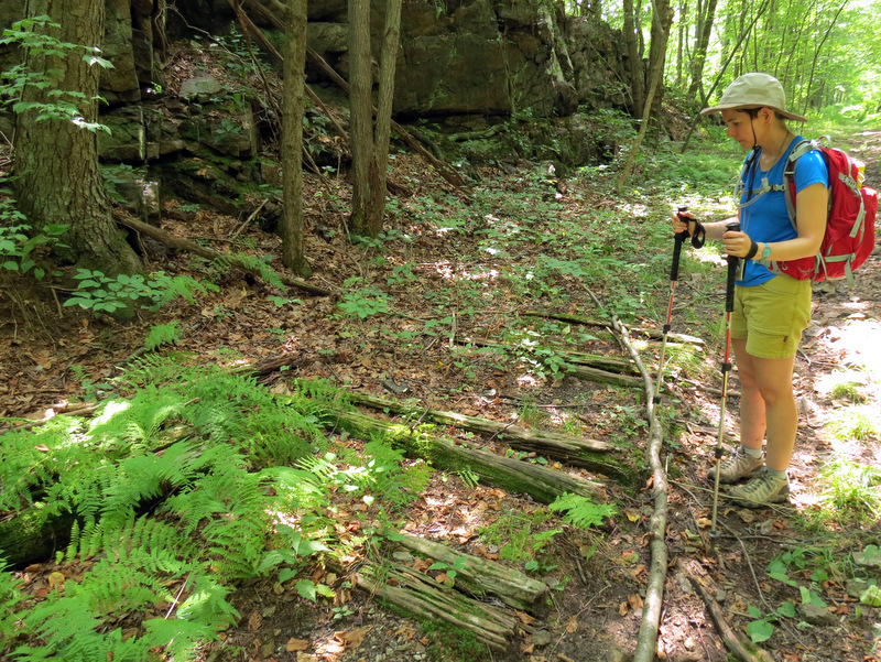 Ties still in place |
 Remaining ties |
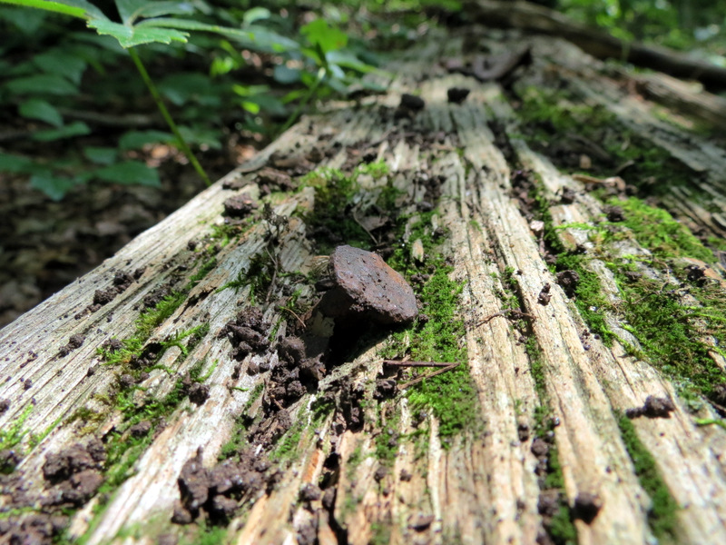 Spike in tie |
 RR bed with tie |
 Field near monument |

|
|
Photographs and content copyright © Dan Balogh Web design by Dan Balogh |