 |
|
Just this month the New York-New Jersey Trail Conference began releasing PDF versions of their awesome maps which (because they have detailed GPS information embedded
in them) allow one to see exactly where one is on the map when using the free app named PDF Maps. I purchased the Southern Harriman trail map last night and
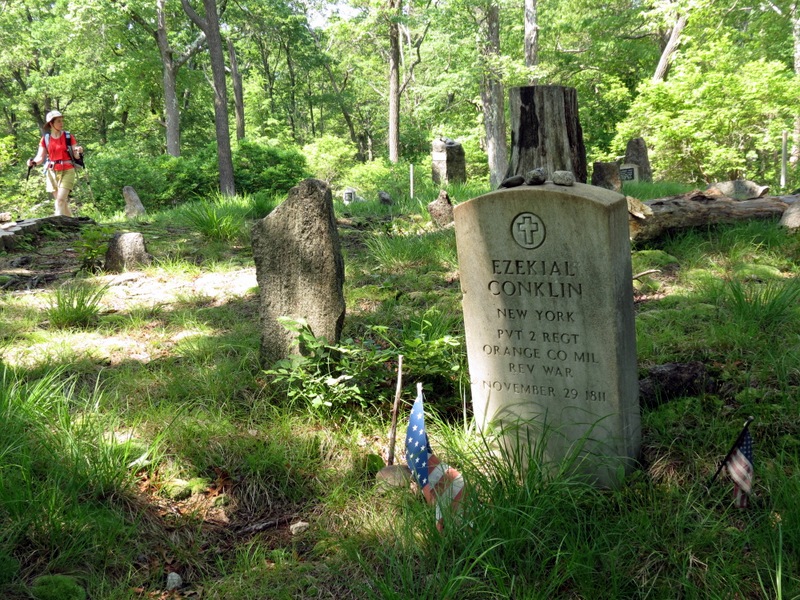
decided to give it a try today, knowing that Conklin Cemetery was not on any given trail and could require some bushwacking. Well, the app and map worked as advertised!
I knew, within feet, exactly where I was, and found the cemetery without any problems -- and we did need to make our way through lots of overgrown vegetation
to get to it! But the Conklin Cemetery was just one part of the amazing hike we did today, Memorial Day 2012.
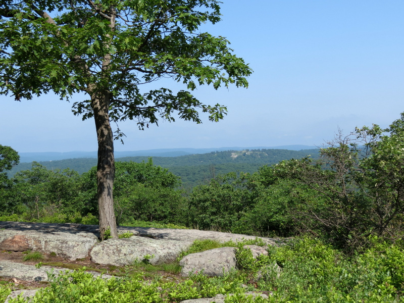
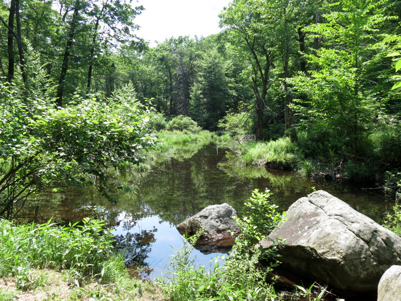
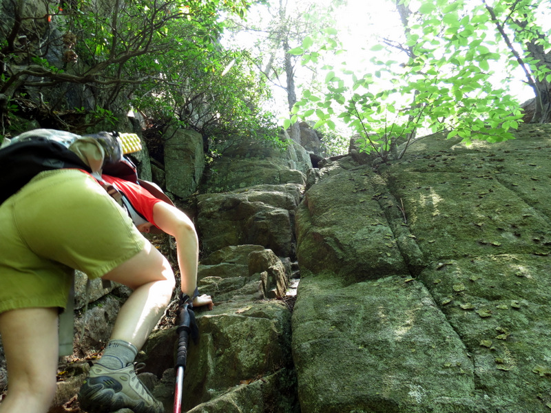
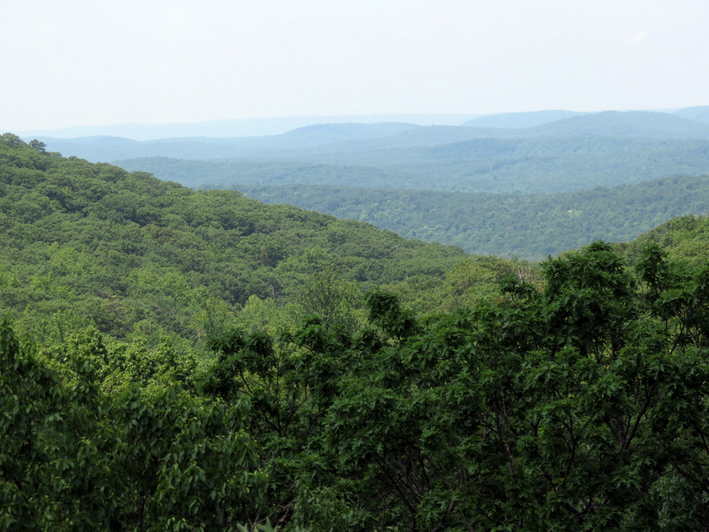
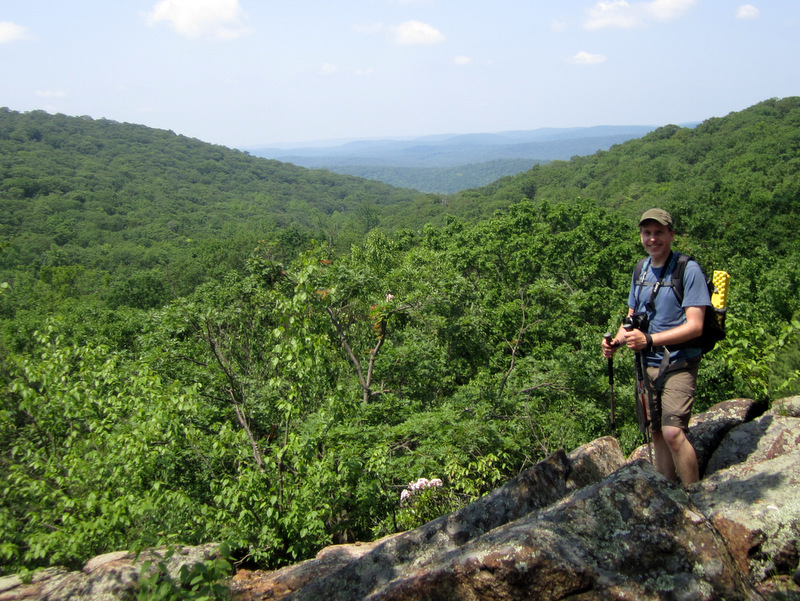
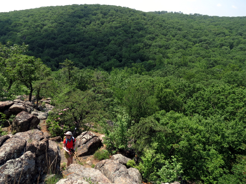
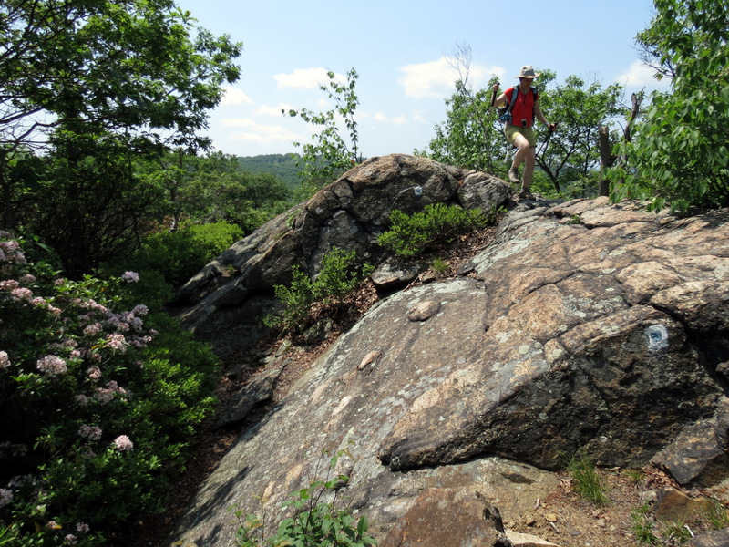
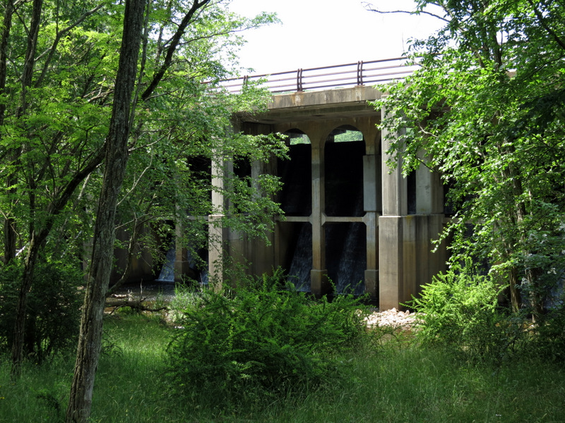
We parked at the Lake Sebago boat launch, which was already getting crowded before 9 AM, no surprise. Crossing Seven Lakes Drive, we began climbing the Seven Hills Trail and took it all the way to the Diamond Mountain Tower trail. On this trail I found ruins of an unfinished dam (off the trail) which was started in the 1930s to create a lake called Oonotookwa. Further along was the remains of an old concrete septic tank, built to serve camps that were to be built here. When then headed west on Pine Meadow trail and then south on the unblazed Pine Meadow woods road which skirts lovely Pine Meadow Lake at its western bank. We sort of bushwacked to the cemetery from this road. After our cemetery visit, we circled back to the Pine Meadow Trail using the arc-shaped road south of the cemetery. We then took the Pine Meadow trail west to the Seven Hills trail. An interesting aside about this: on the 2012 version of the map, there are three vista stars on this short stretch of the trail, but on the previous version no stars were noted! That clearly was an oversight, because this part of Seven Hills trail is not only one of the steepest trails in the entire park, but it has some of the most expansive views (we avoided this trail in the past because its apparent lack of views didn't warrant the climb)! We continued on this trail all the way to the H-T-S trail which we took to its end at the Tuxedo-Mt Ivy trail, which we then took to Seven Lakes Drive. We walked the road for just a bit before hopping a barrier to a lovely narrow trail which skirted Sebago Lake. This took us back to our car at the boat launch. Total distance hiked today was about 8 miles in about 4.5 hours.
|
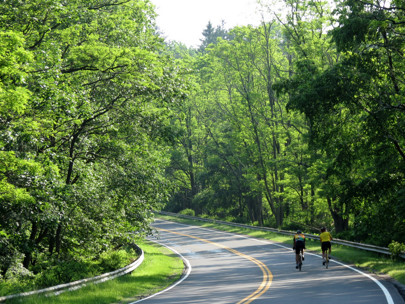 Bicycles on Seven Lakes Drive |
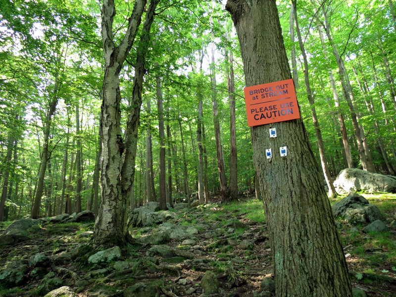 Uh-oh |
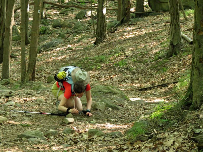 Bug photography |
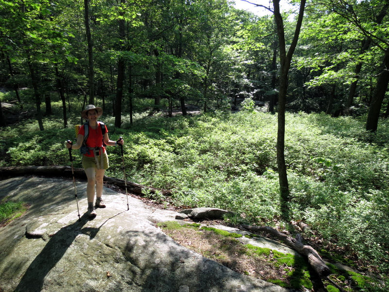
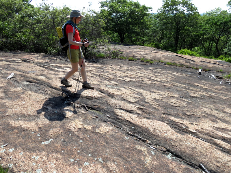
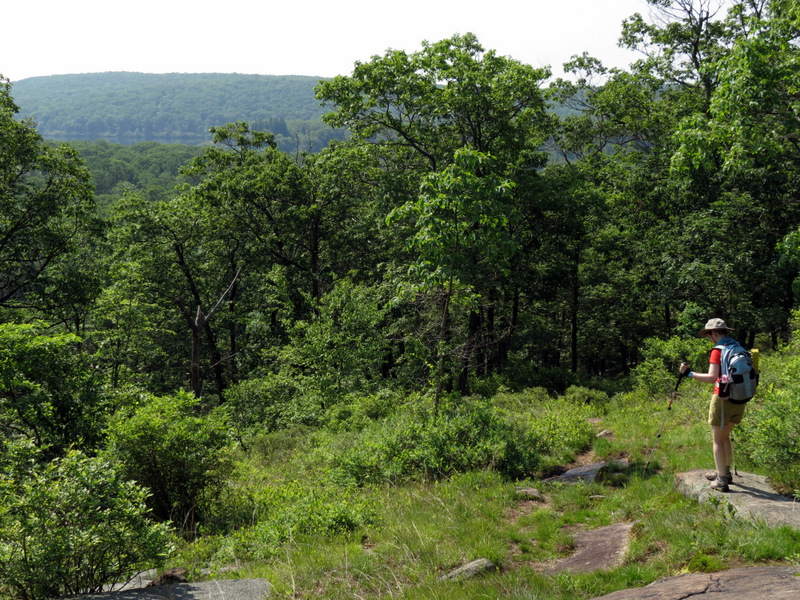
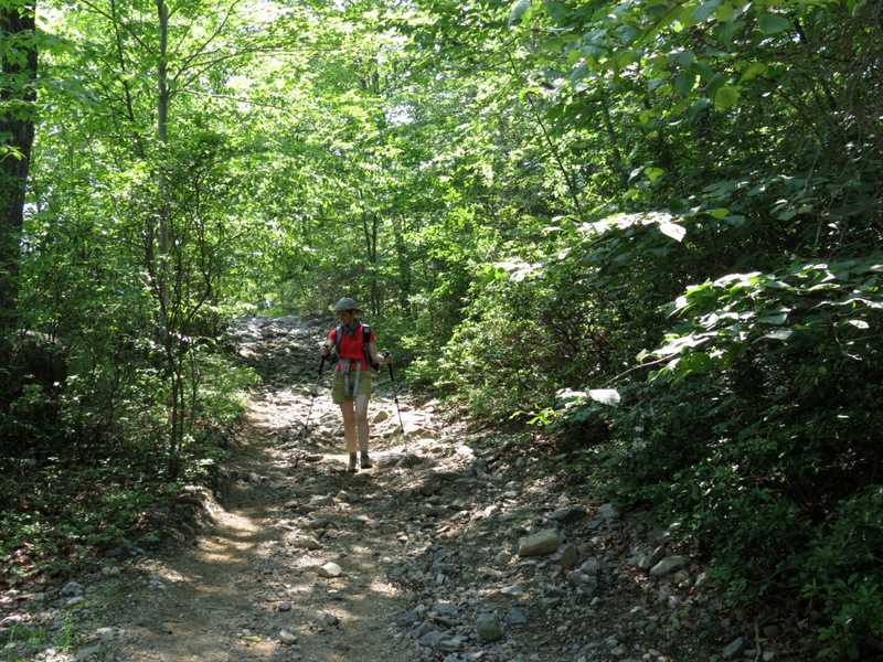
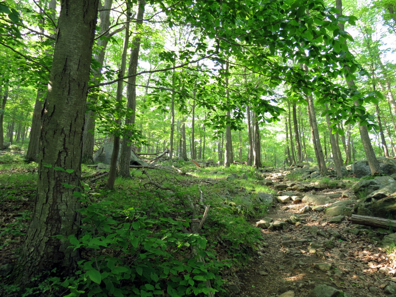 Climbing Seven Hills Trail |
 Cairn at Buck trail turn-off |
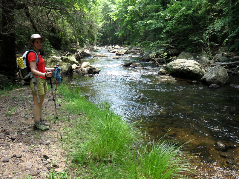
 Cascades at Diamond Creek |
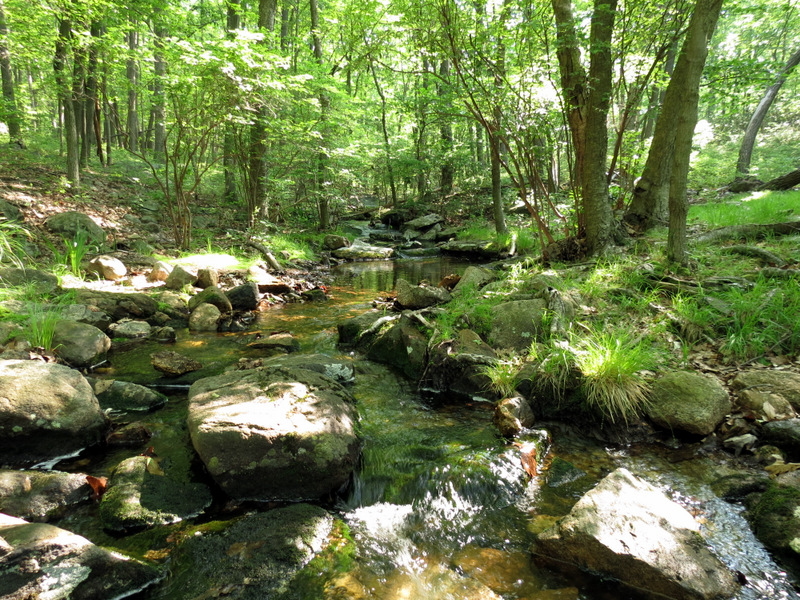 Diamond Creek |
 Climbing |
 |
 |
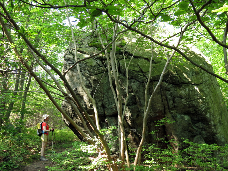 Huge glacial erratic |
 |
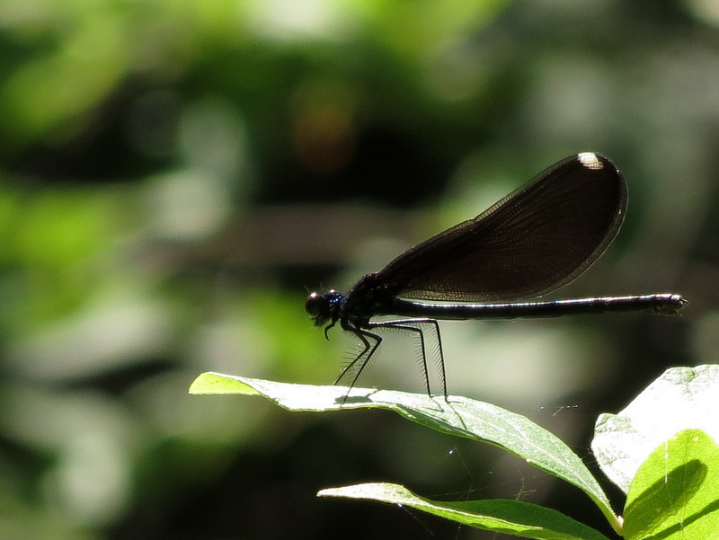 Damselfly |
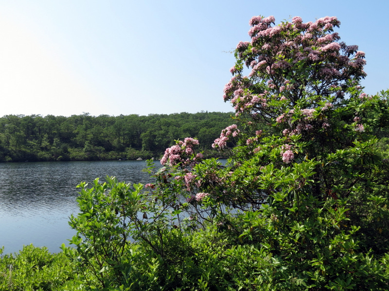
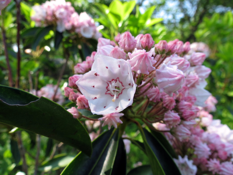 Mountain Laurel |
 Views over ... |
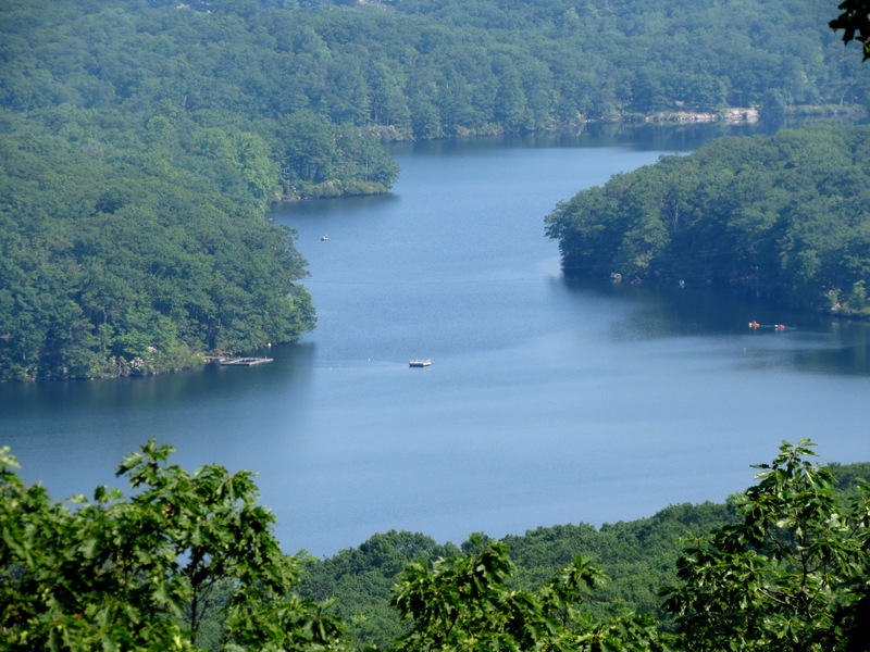 ... Lake Sebago |
 |
 |
 Ferns |
 Views from ... |
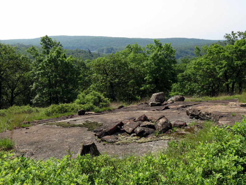 ... Diamond Mountain Tower trail |
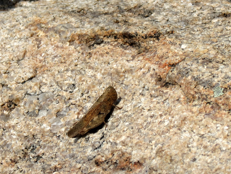 Grasshopper |
 |
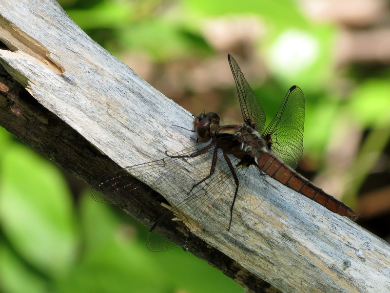 Dragonfly |
 Begin to descend |
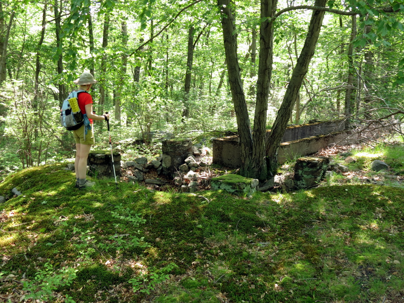
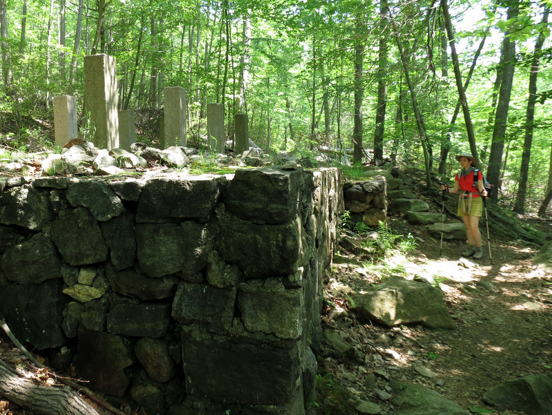
 Remains of ... |
 ... unfinished dam |
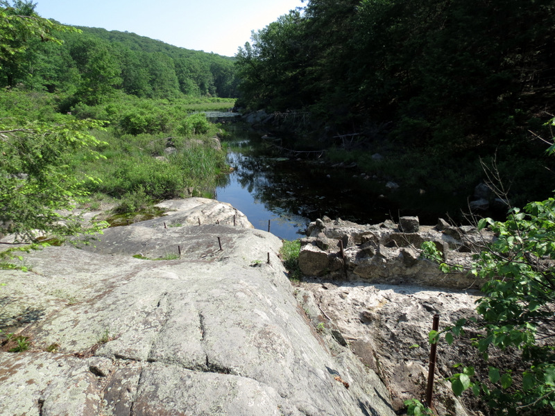 The lake would have been there |
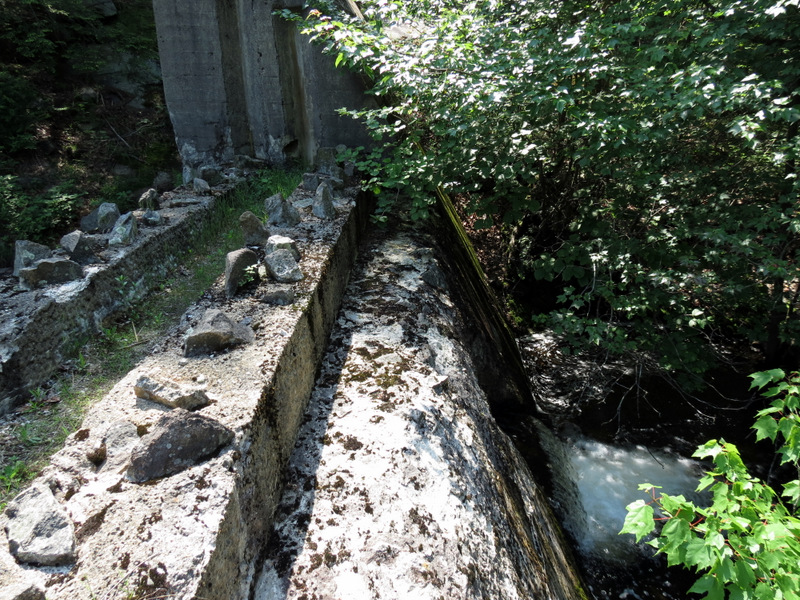 Waterfall behind dam |
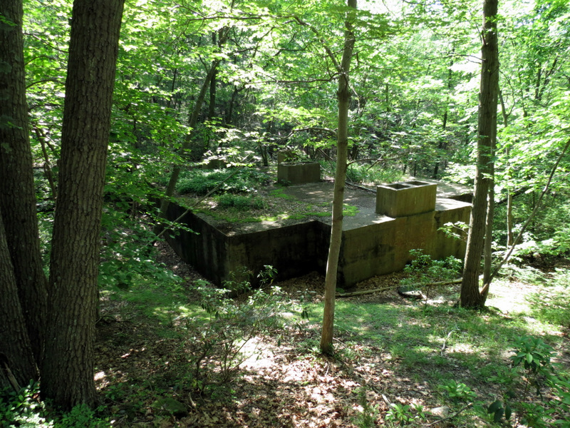 Septic tank |
 Canada geese on Pine Meadow Lake |
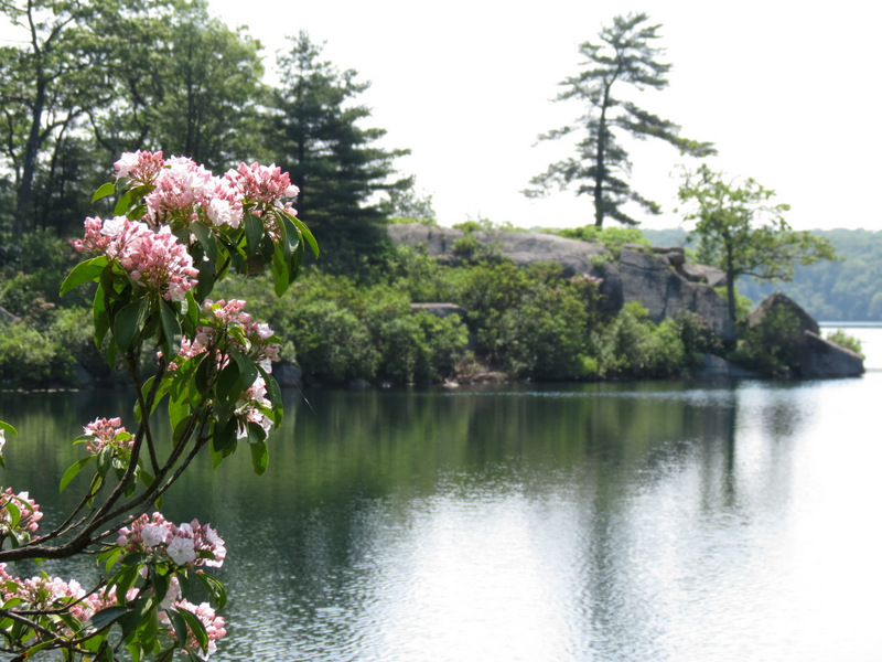 Mountain Laurel on lake bank |
 |
 |
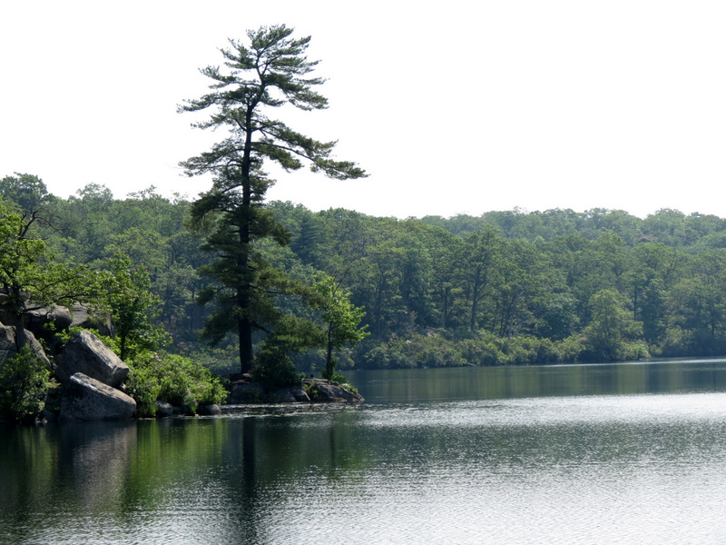
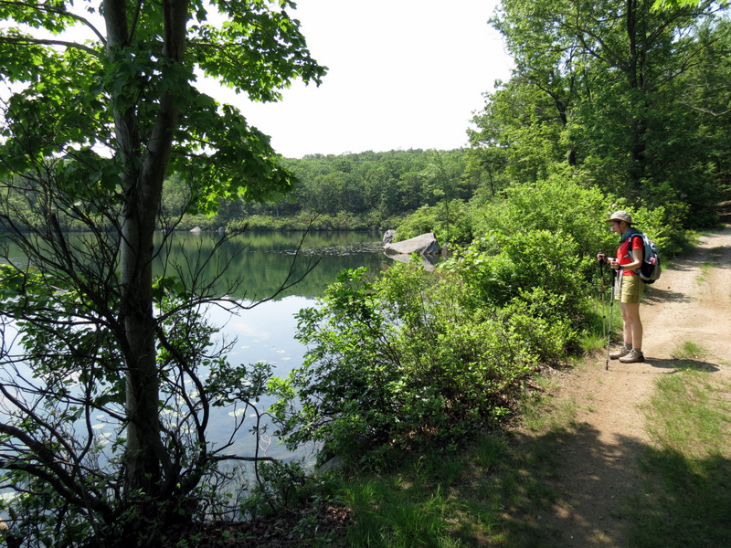
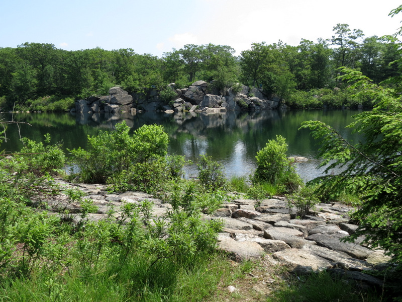
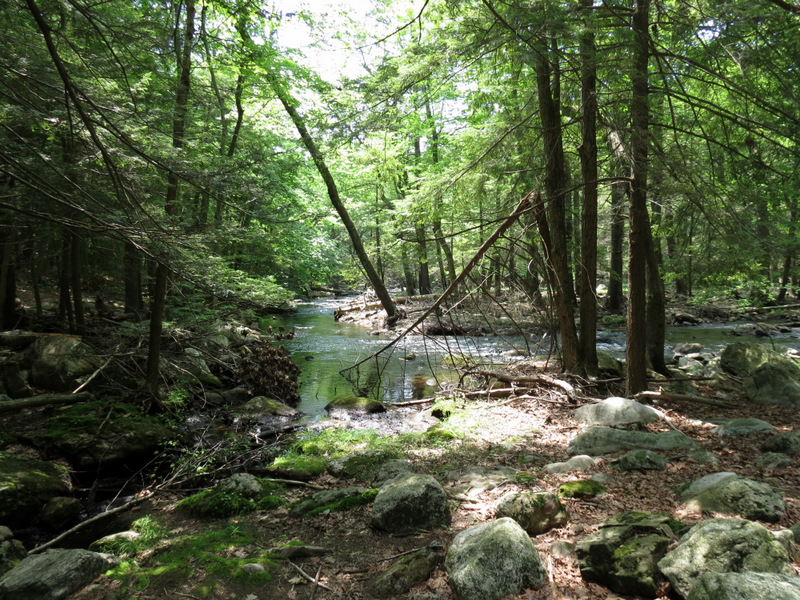
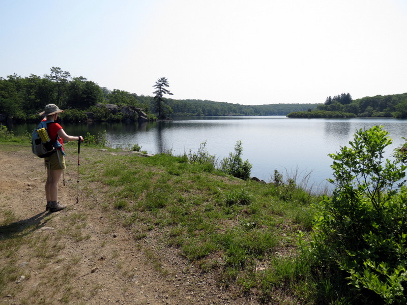 Pine Meadow Lake |
 |
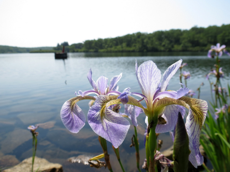 Irises on lake bank |
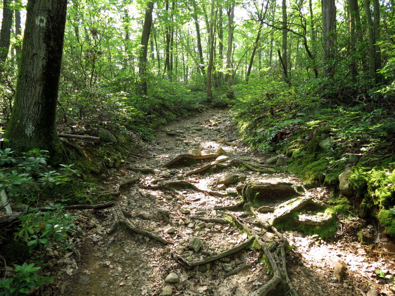
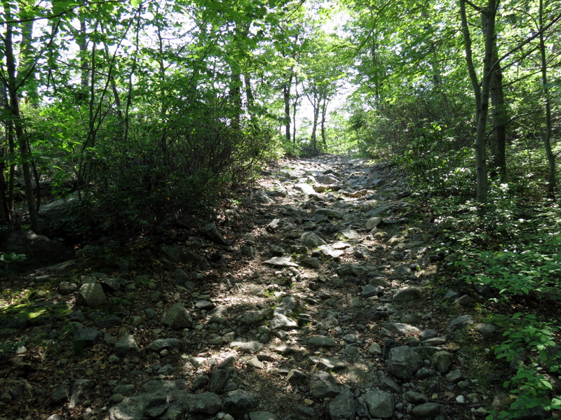
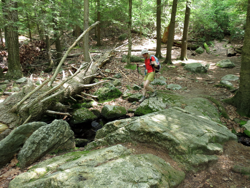
 On Pine Meadow woods road |
 Climbing to cemetery |
 Sort-of bushwacking |
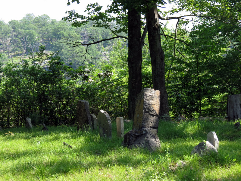 Photos ... |
 ... of gravestones ... |
 ... in Conklin ... |
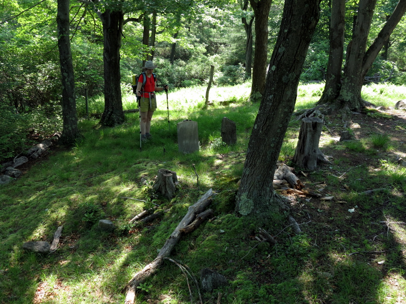 ... Cemetery |
 Joseph Conkin gravestone |
 |
 Ruins along way |
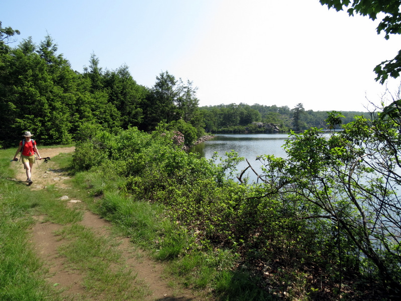
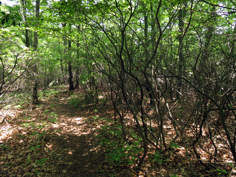
 Pine Meadow woods road |
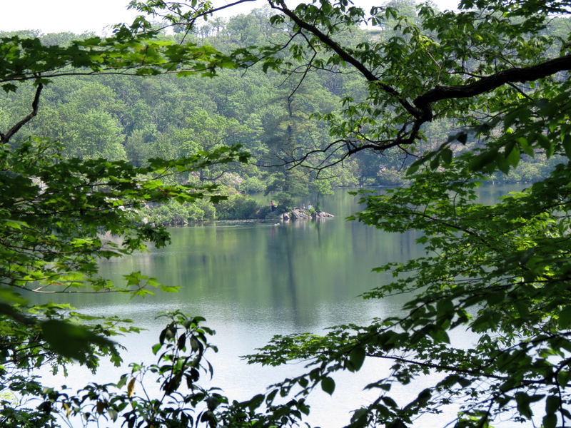 Pine Meadow Lake |
 Zoom in |
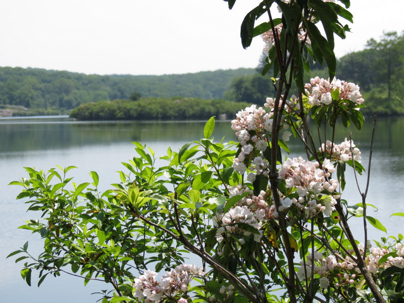 Mountain Laurel |
 |
 |
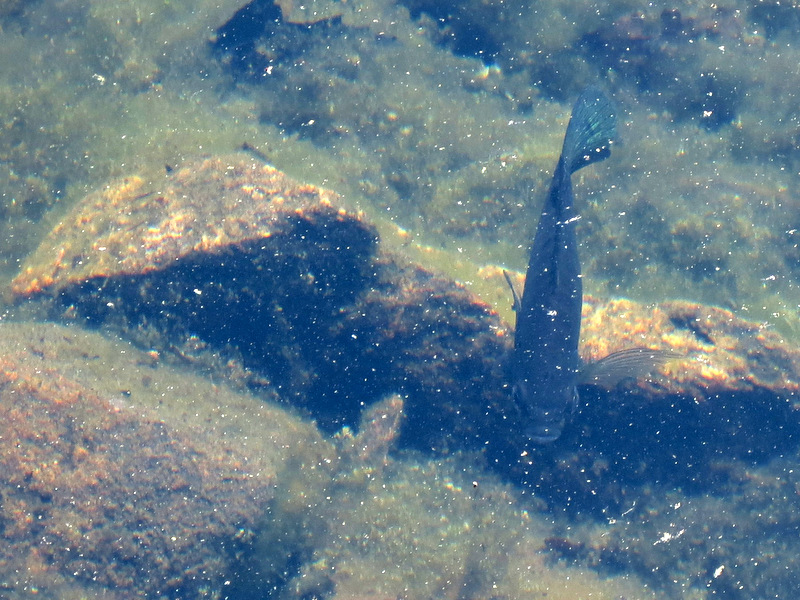 Fish in lake |
 |
 Ruins on Pine Meadow trail |
 |
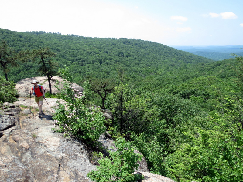
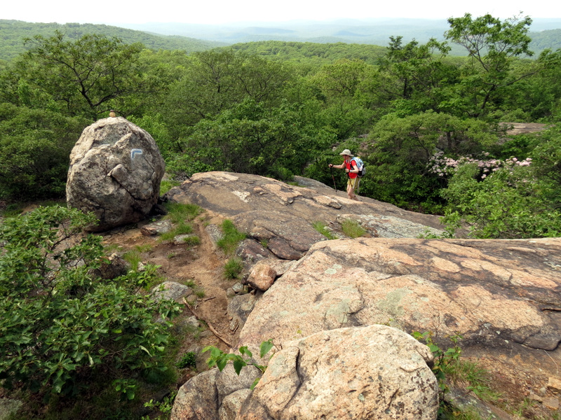
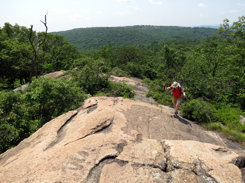
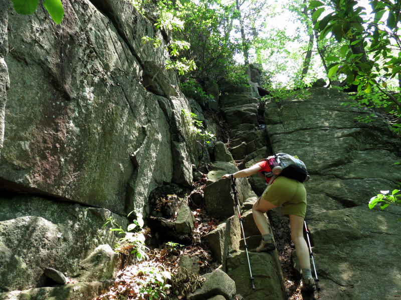 Steeply climbing ... |
 ... Seven Hills trail |
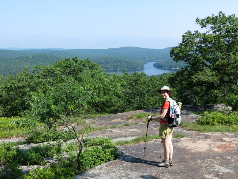
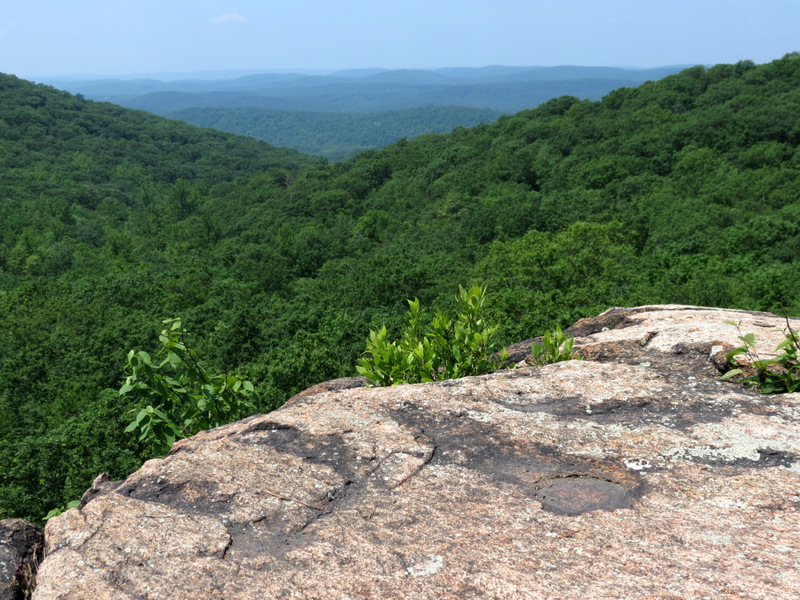
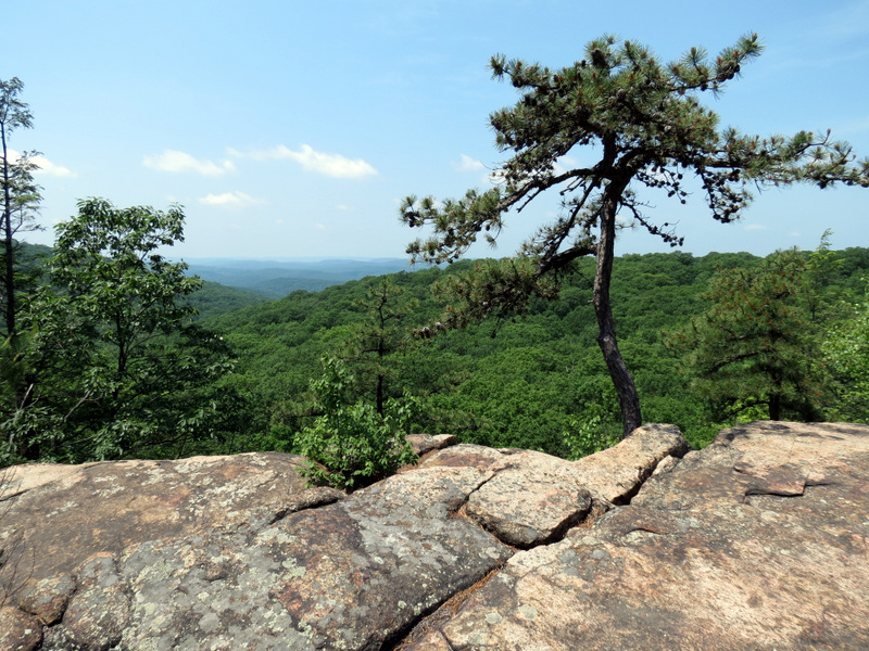
 View from near top |
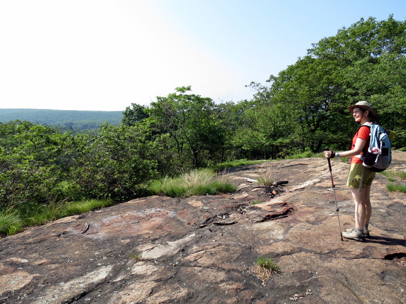
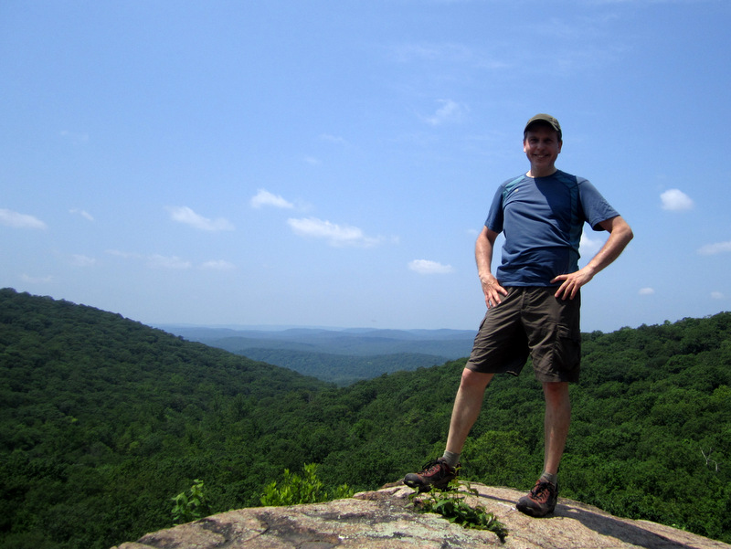
 Taking a breather |
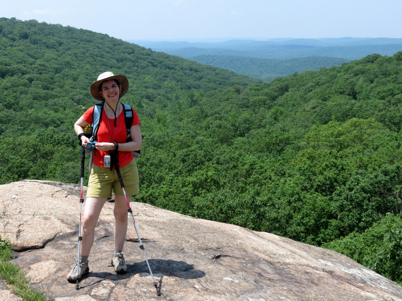
 Expansive view |
 [Photo by Laura] |
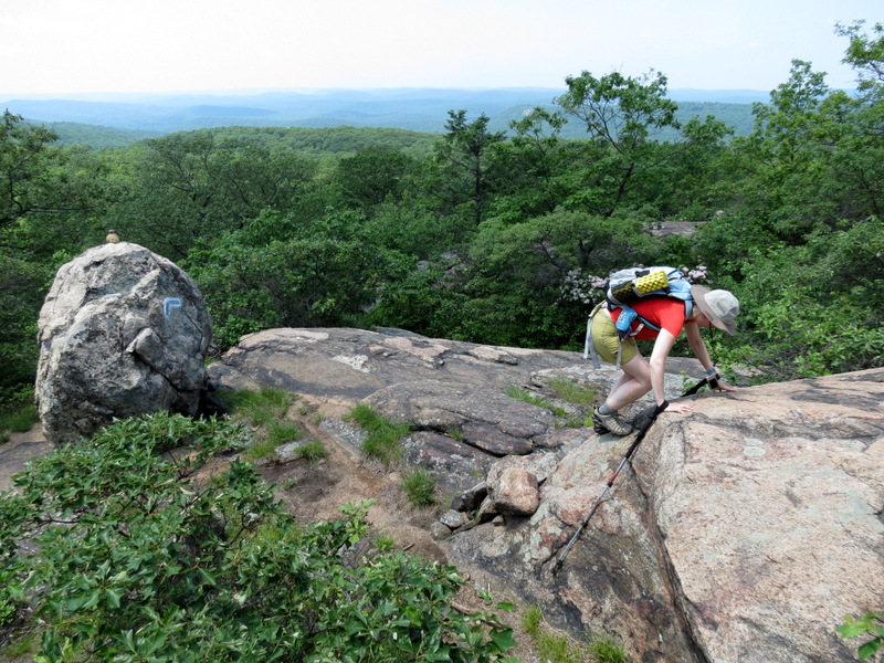
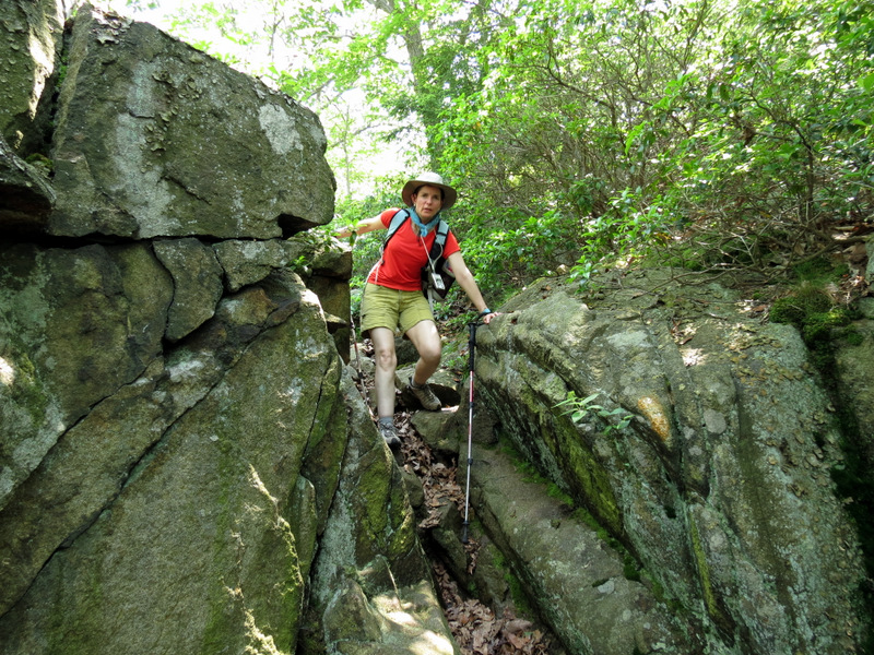
 More climbing |
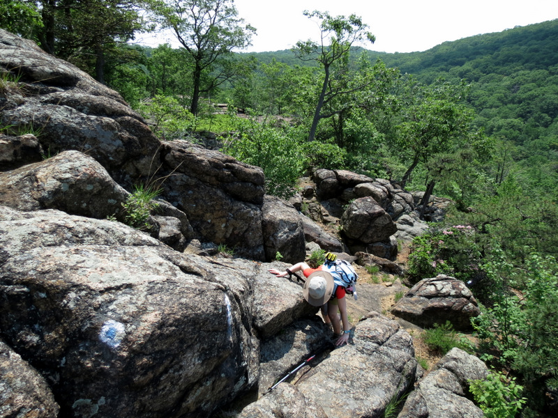 Some scrambling |
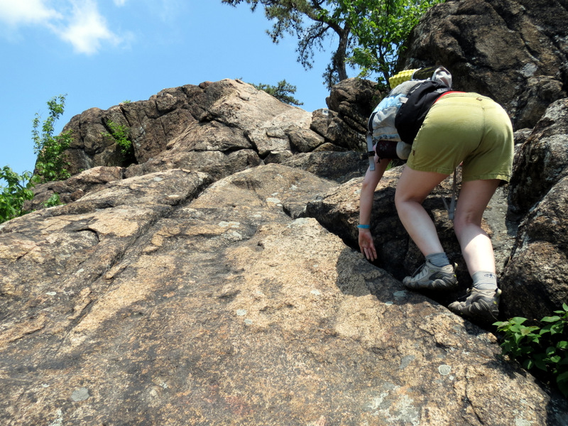 Hand over foot |
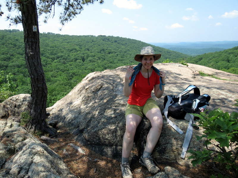 Resting |
 Our lunch spot |
 |
 [Photo by Laura] |
 |
 |
 |
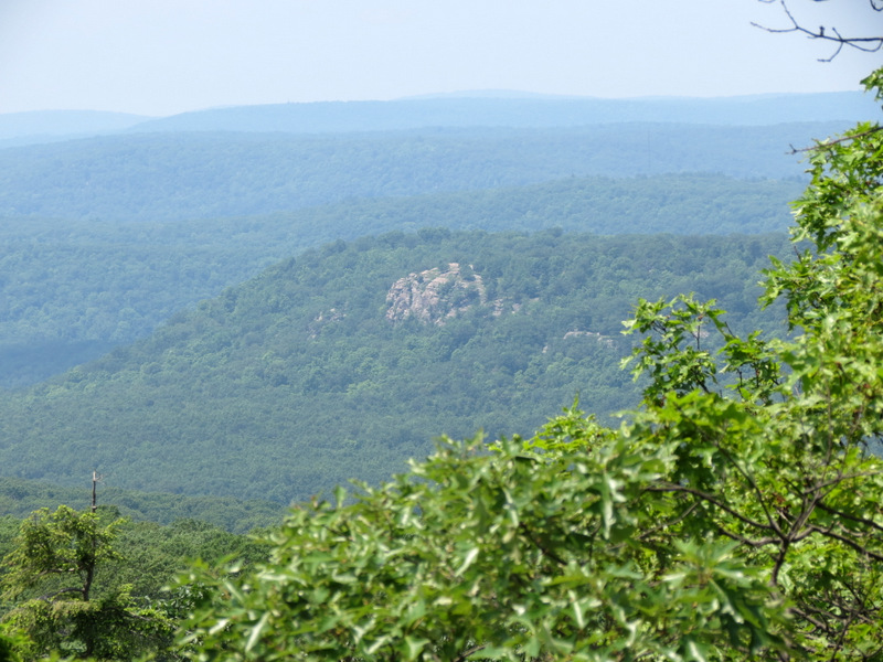
 Whaleback |
 Rhododendron thicket |
 More climbing on ... |
 ... Seven Hills trail |
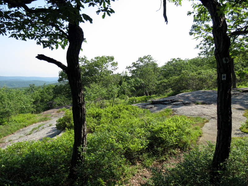
 Views |
 Whaleback |
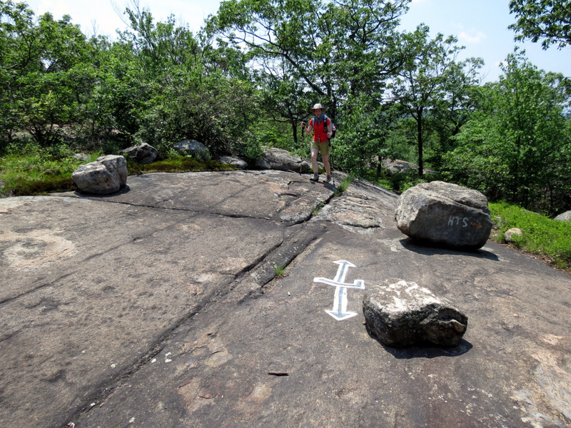 Trail intersection |
 Now on H-T-S |
 |
 Stony Brook |
 Stony Brook |
 |
 Below |
 Seven Lakes Drive |
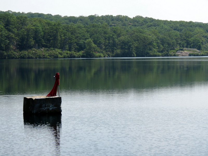
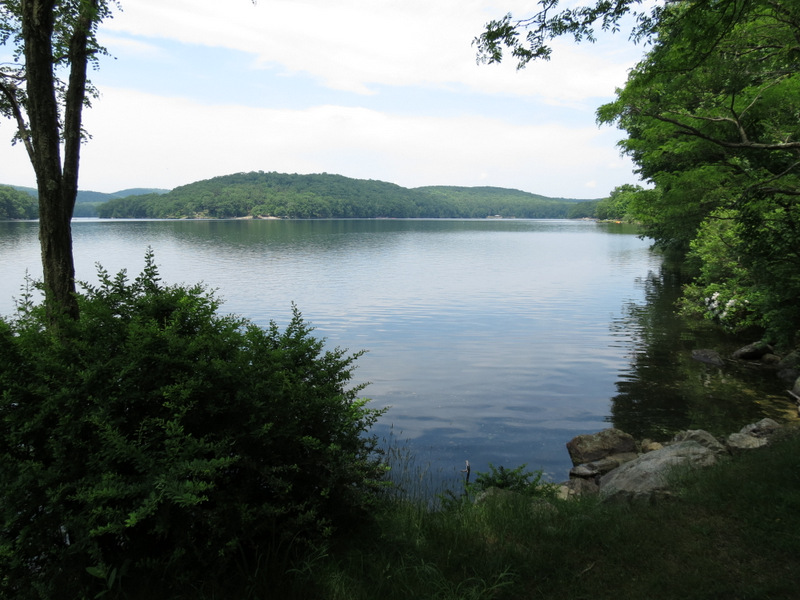 Sebago Lake |
 Narrow trail along lake |
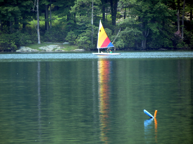 Sailboat on Sebago |
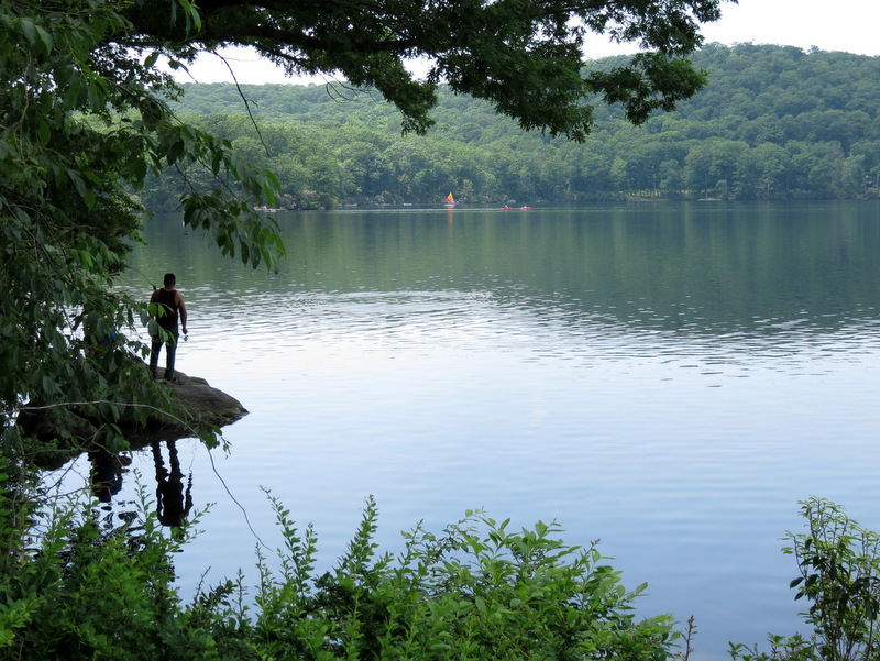 Fishing |
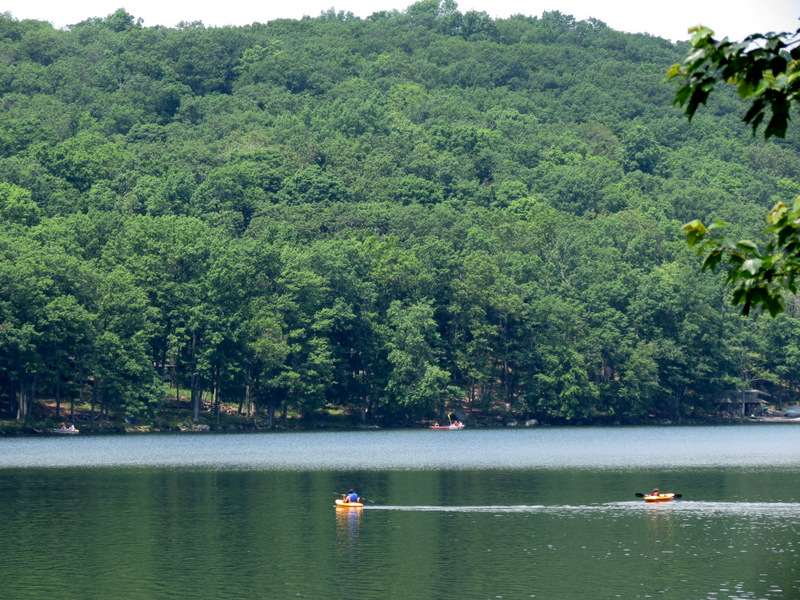 Paddling |

|
|
Photographs and content copyright © Dan Balogh Web design by Dan Balogh |