 |
|
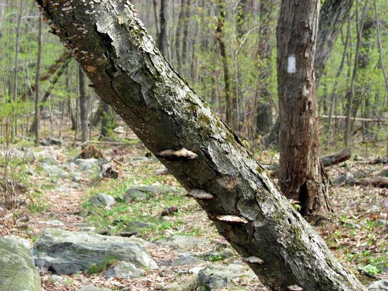
In our continuing attempt to hike every inch of the AT in New Jersey and New York, we decided to do an out-and-back starting at the parking area
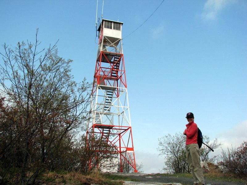
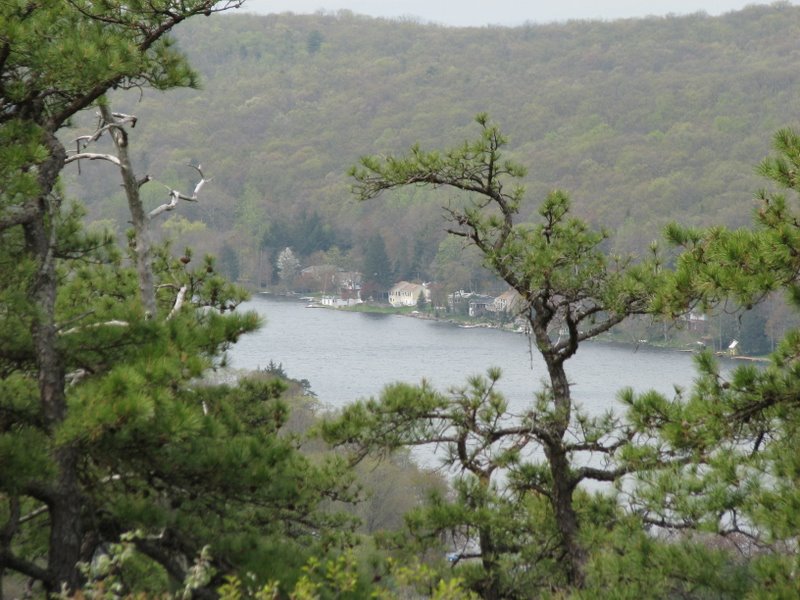
on Route 636. We hiked NE along the AT, glimpsing Kittatinny and Culvers Lakes, and passing the Normanook Lookout Tower, before reaching
Stony Brook and turning back. Spring is here, and the bugs were out in droves, making lunch a constant struggle!
This 6-mile hike took us about 3.5 hours. The only challenging part was the steady uphill climb to the ridge near the beginning. (Click on the thumbnail to bring up a bigger image in a pop-up window)
|
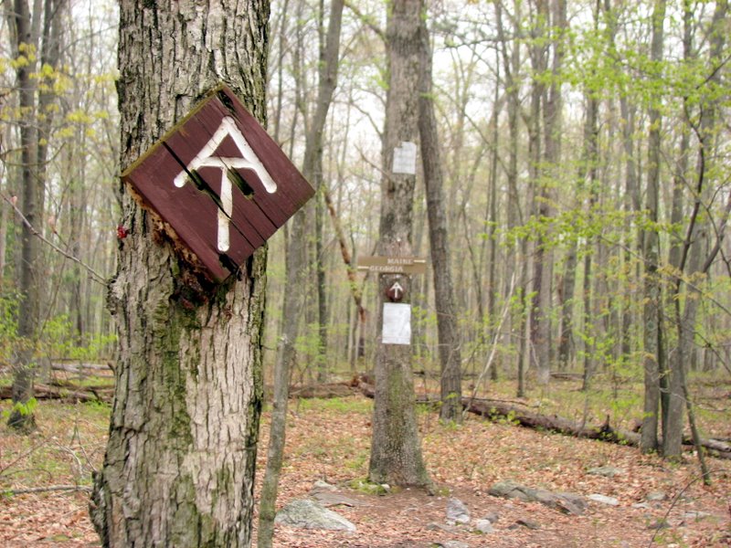 Trailhead at Sunrise Mountain Road |
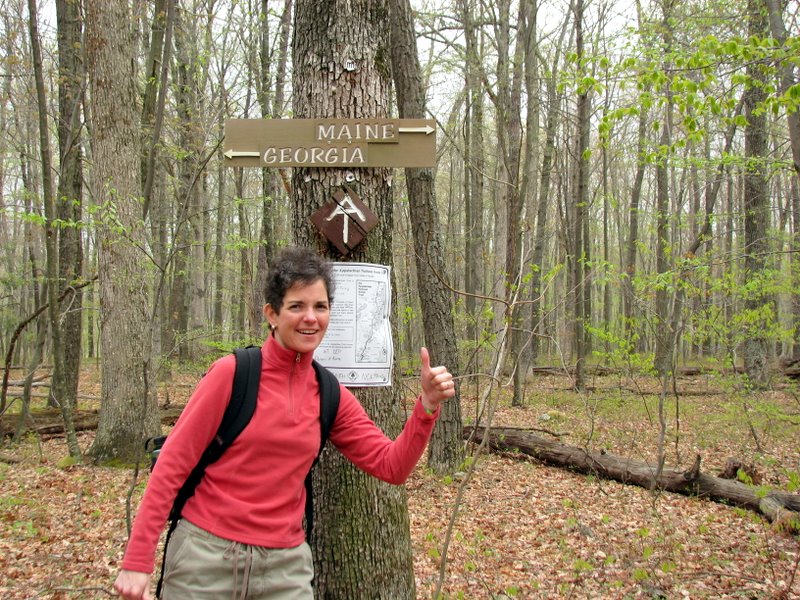 We're heading for Maine today |
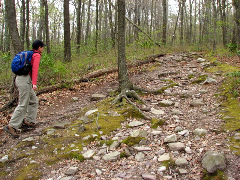 |
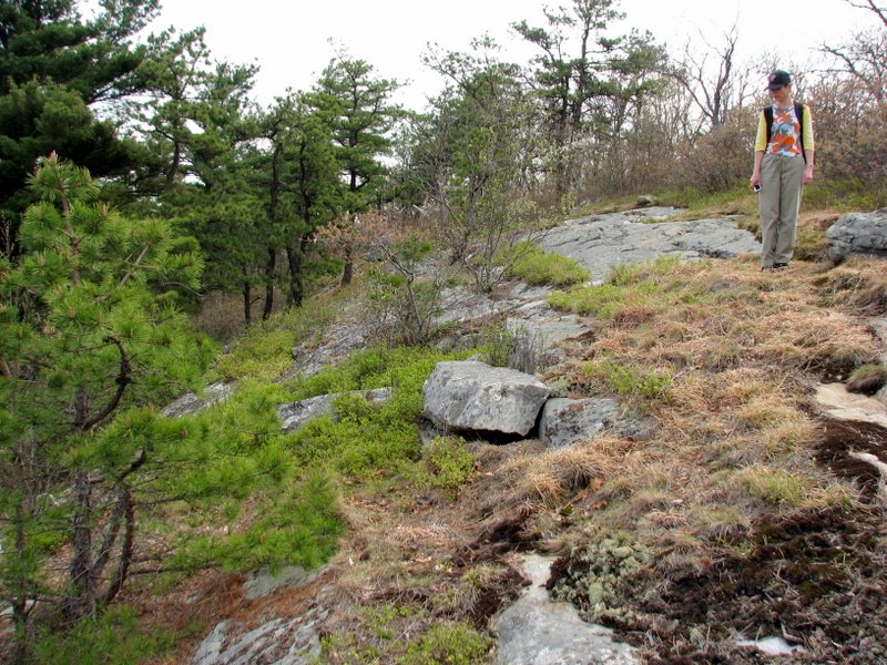
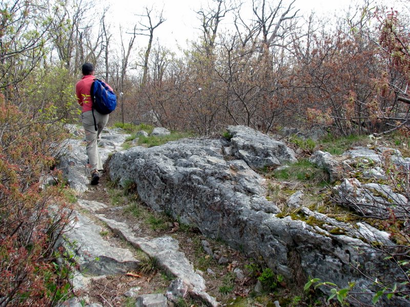
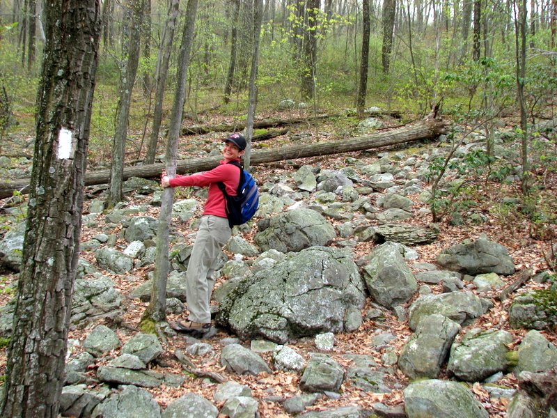 Rocky climb to the Kittatinny ridge |
 Steady uphill |
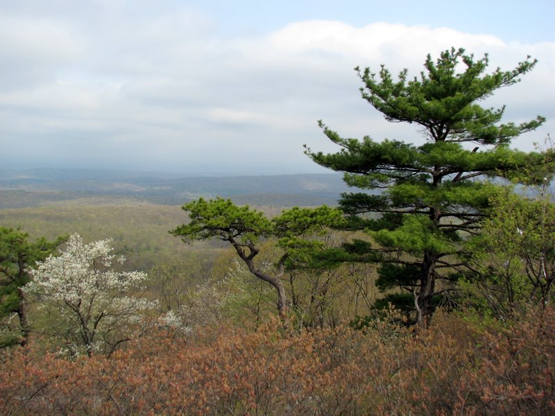
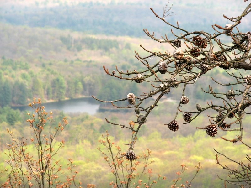
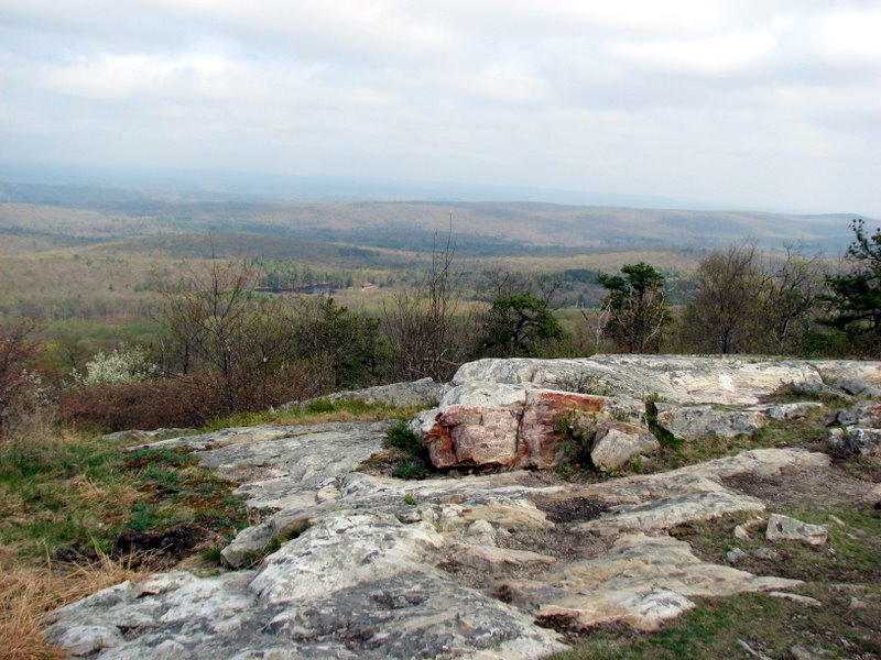
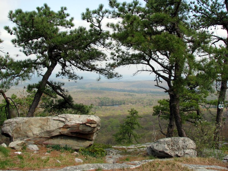
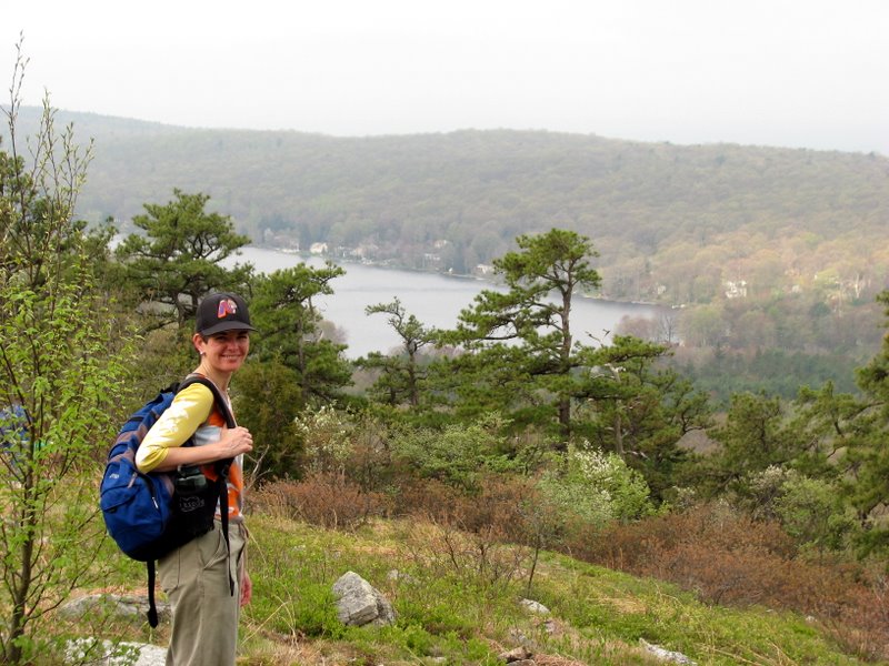 View of Kittatinny Lake to the west |
 |
 Partial view of Culvers Lake |
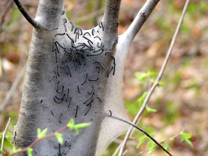 Hatching larvae |
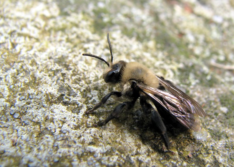 Lethargic bumble bee |
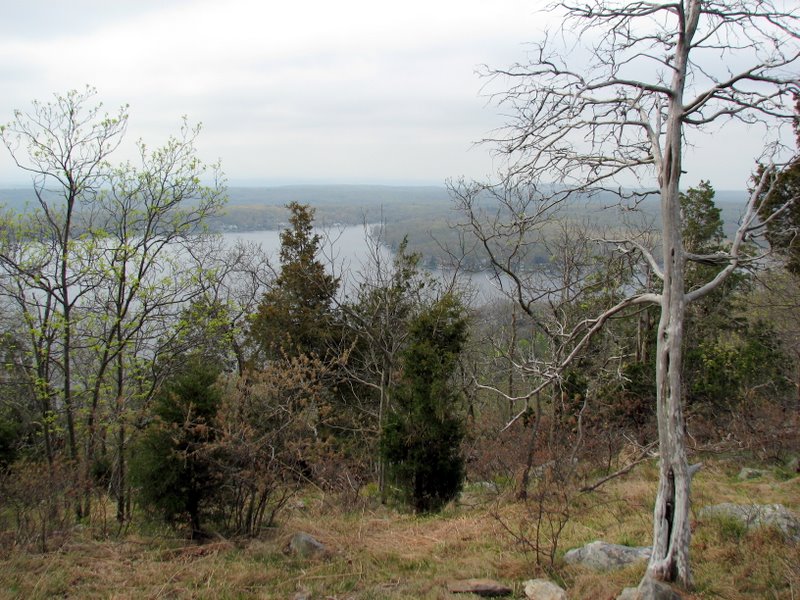
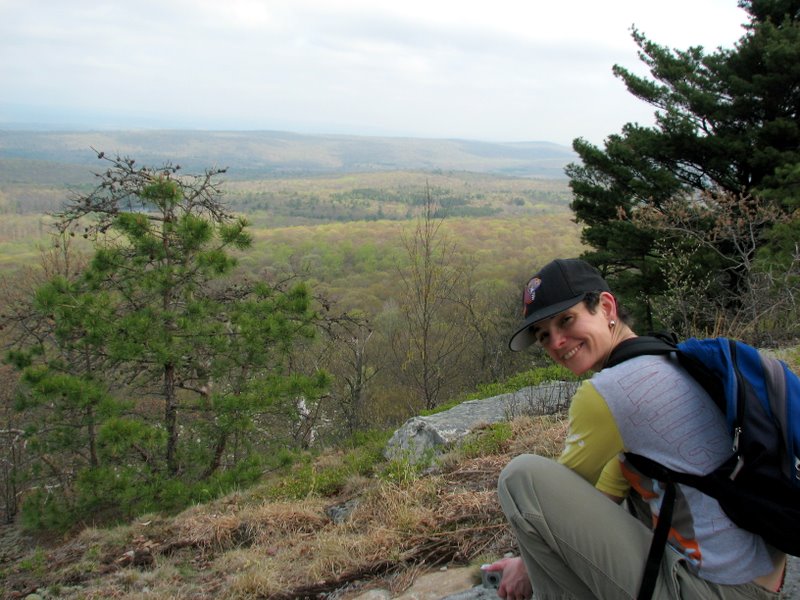
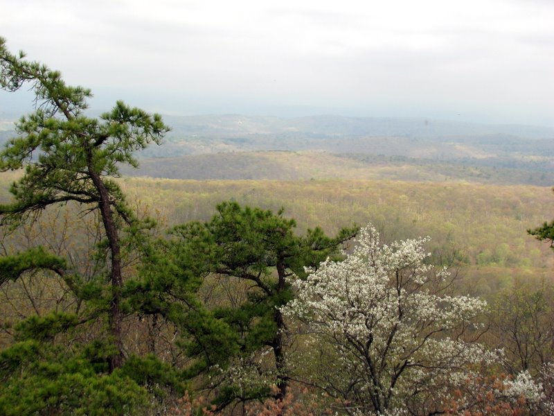 View west from ridge |
 |
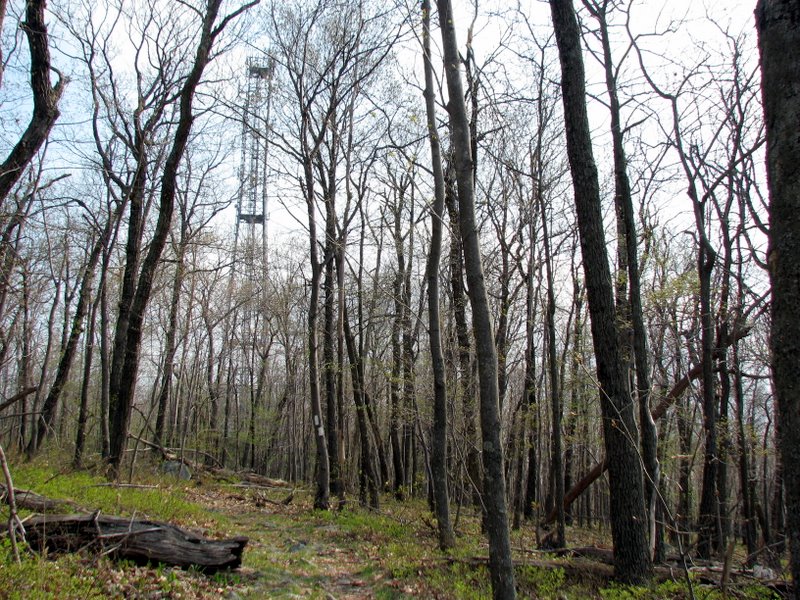 Aerial tower through trees |
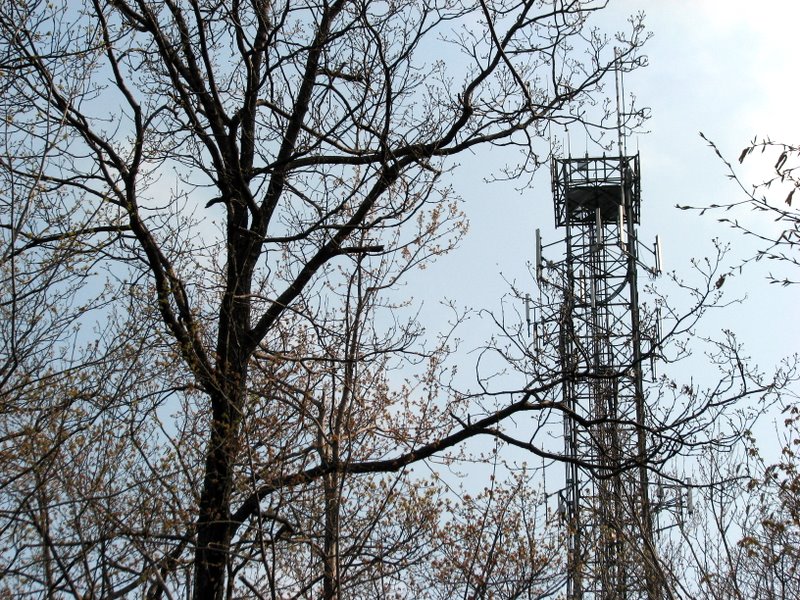 Aeril tower on ridge |
 |
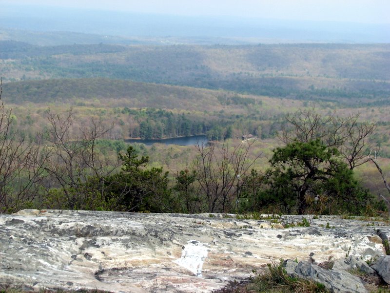
 Stony Lake from ridge |
 House far off to the west |
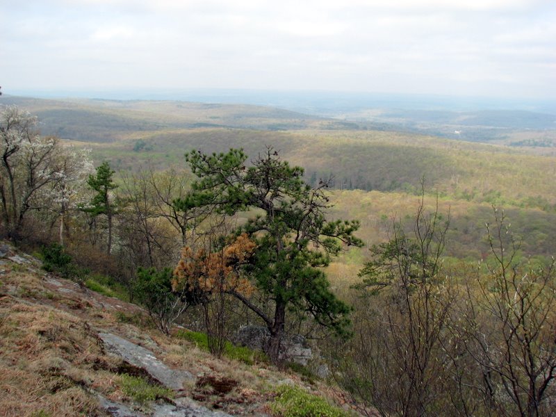 View SW |
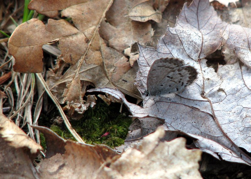
 Malasana |
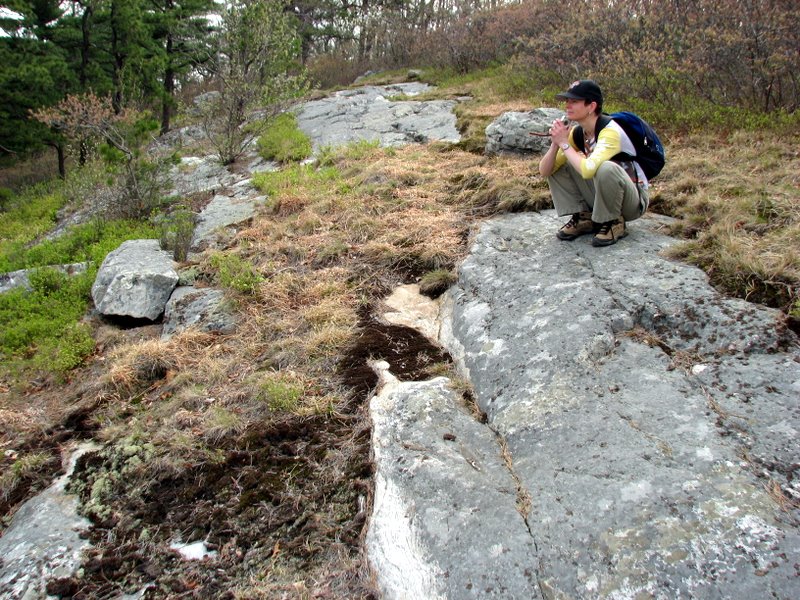
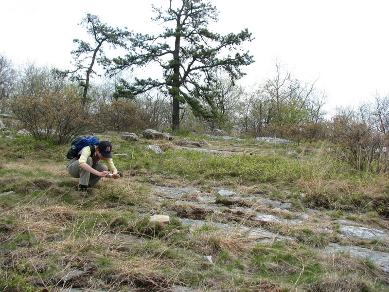
 Our lunch spot |
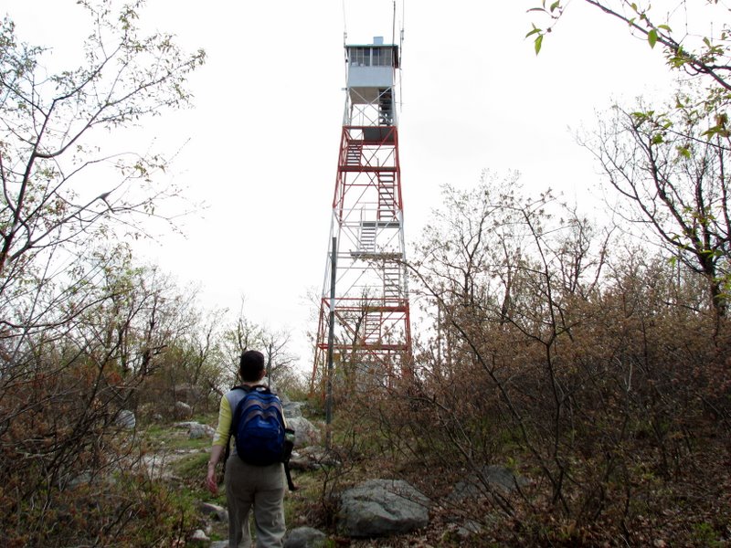 Normanook Lookout Tower |
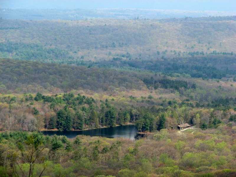 Stony Lake |
 |
 View west |
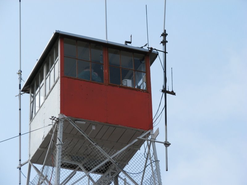 Someone's inside |
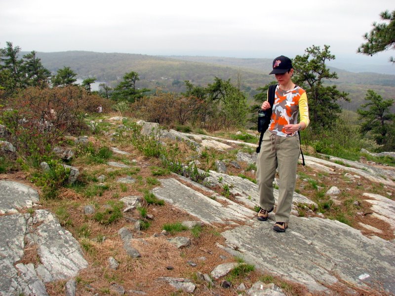
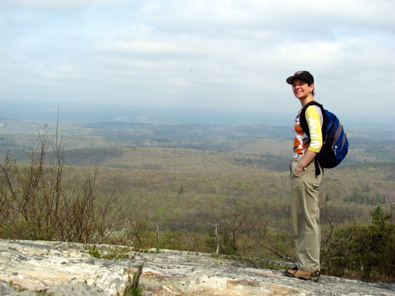
 Laura and the tower |
 |
 |
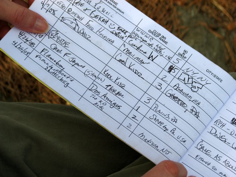
 Laura loves sign-in stations |
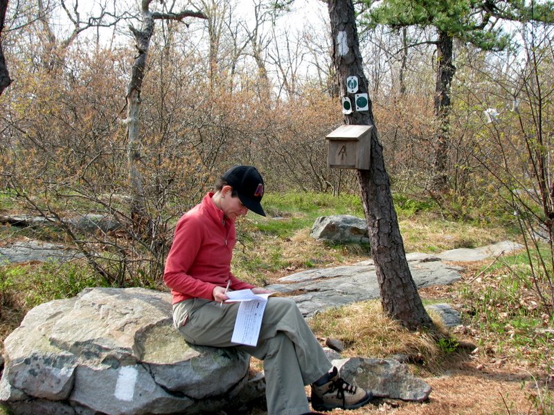 Signing in |
 |
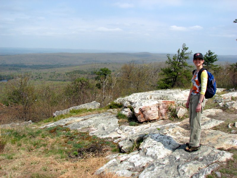
 Mountain Goat & Shutterbug ... that's us |
 |
 |
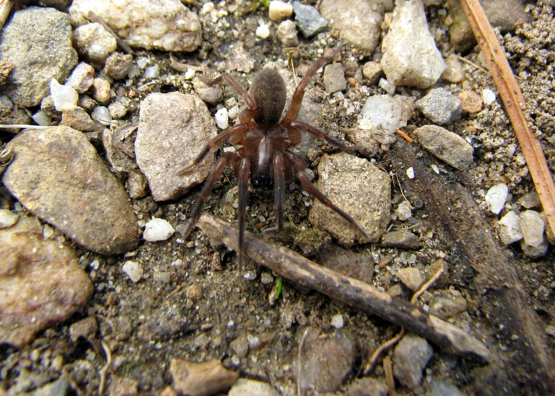 Scared spider |
 |
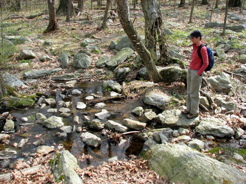 Stony Brook |
 |
 Moth |
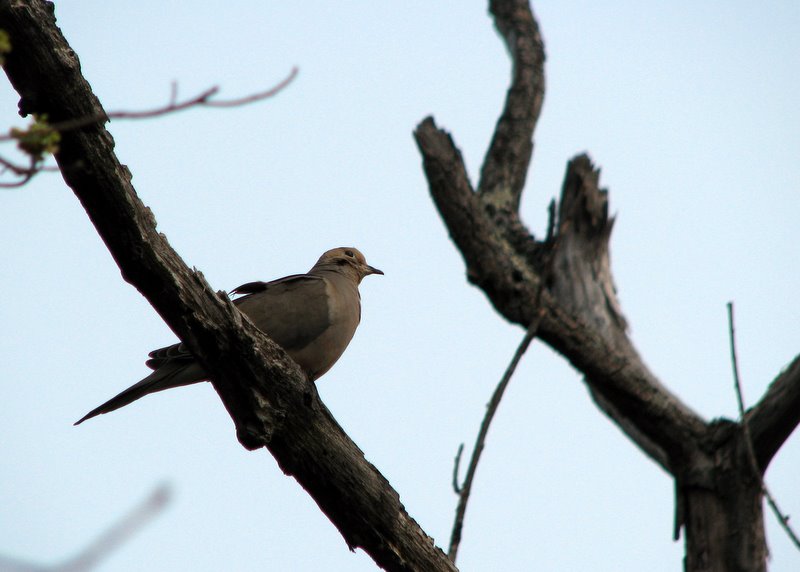
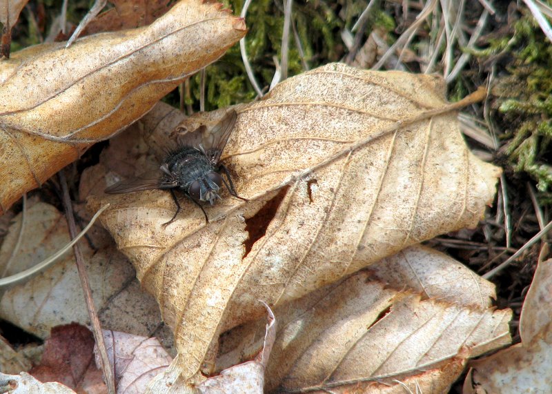 Fly |
 |
 |
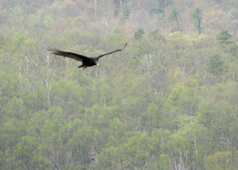
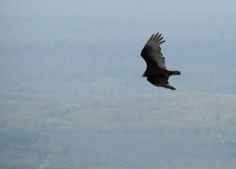
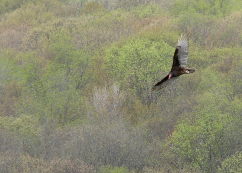
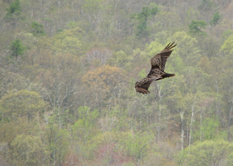 Turkey vultures were in abundance |
 |
 |
 |
 |
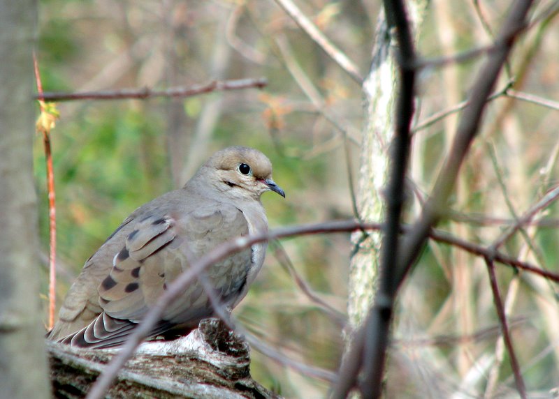
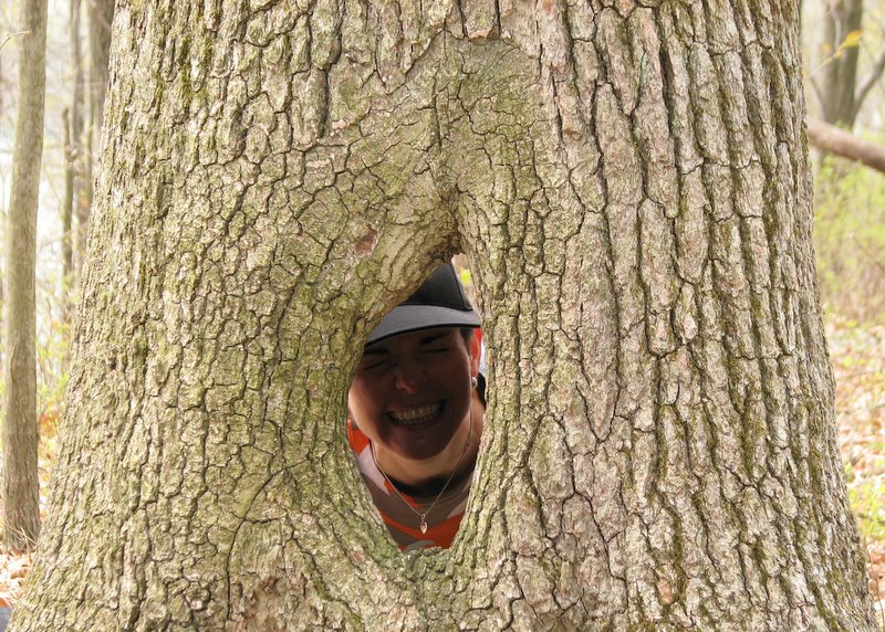 Peek-a-boo |
 Culvers Lake |
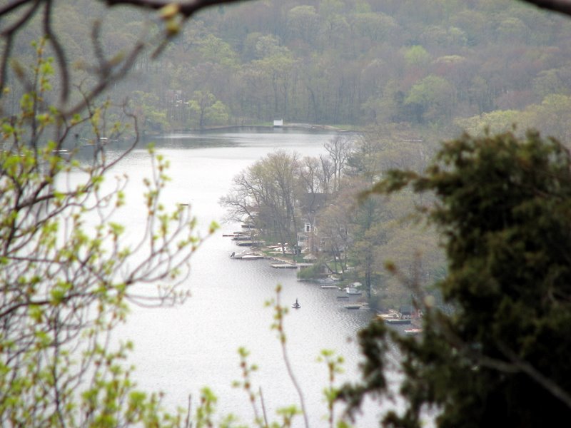
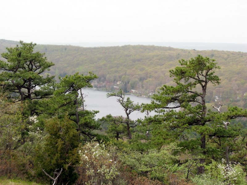 Kittatinny Lake |
 |
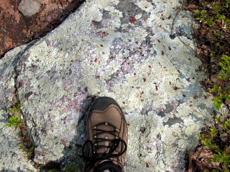
 Macro photography |

|
|
Photographs and content copyright © Dan Balogh Web design by Dan Balogh |