 |
|
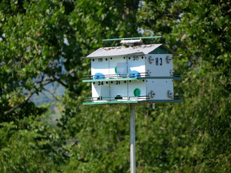
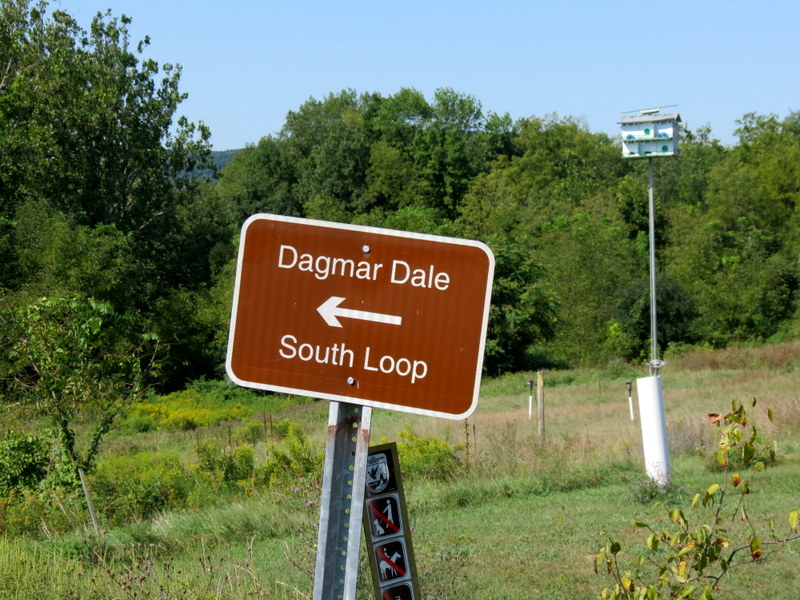
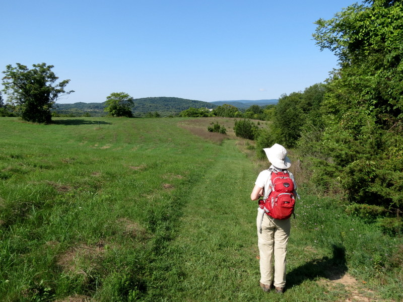
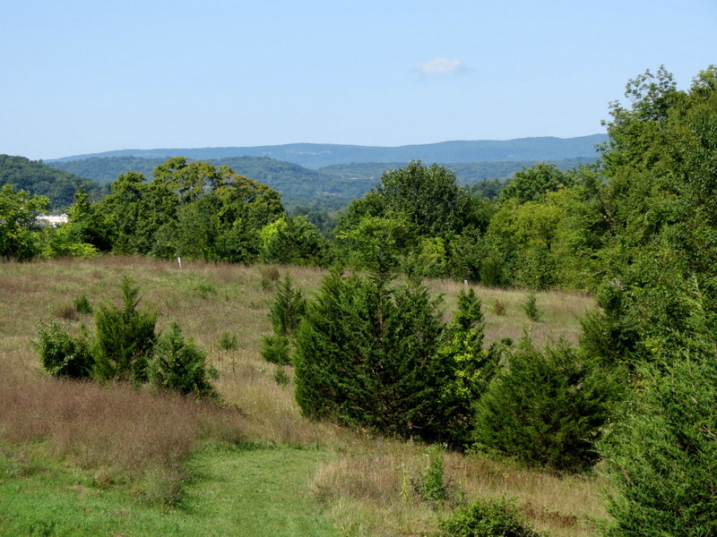
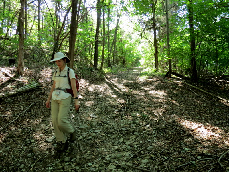
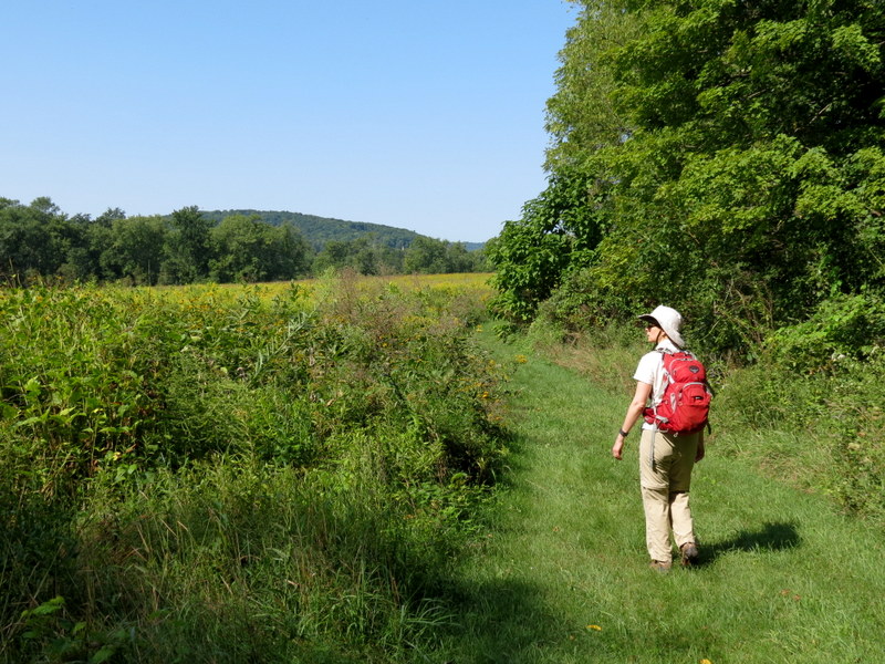
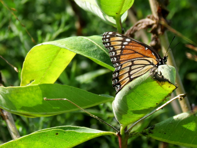
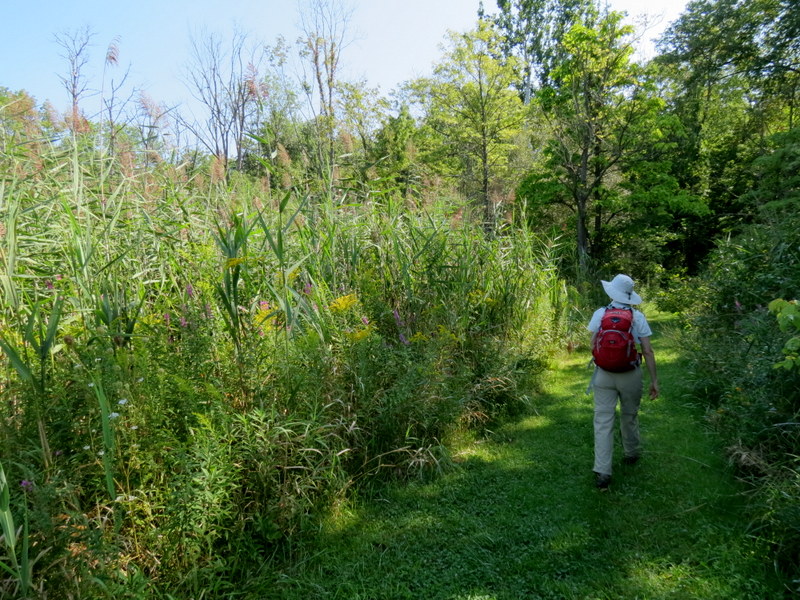
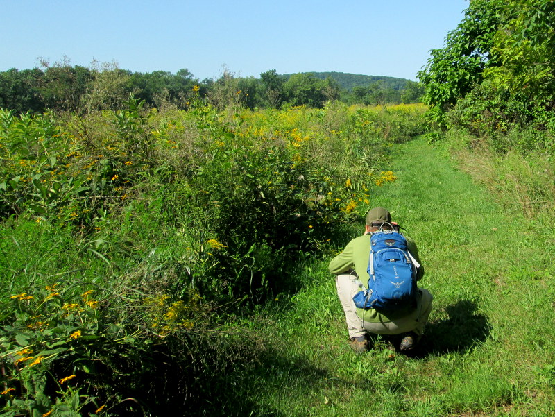
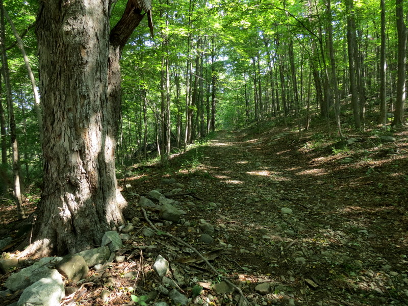
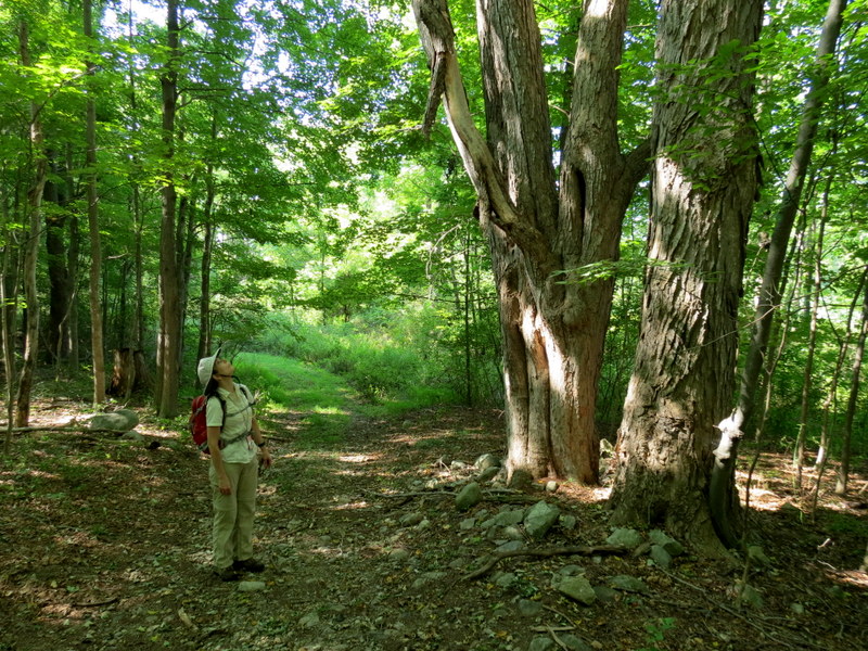
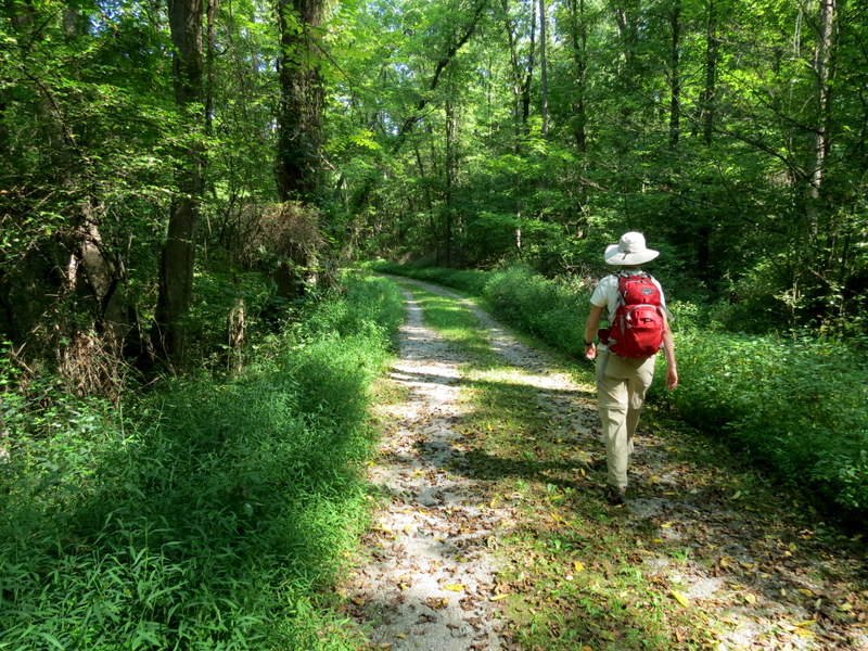
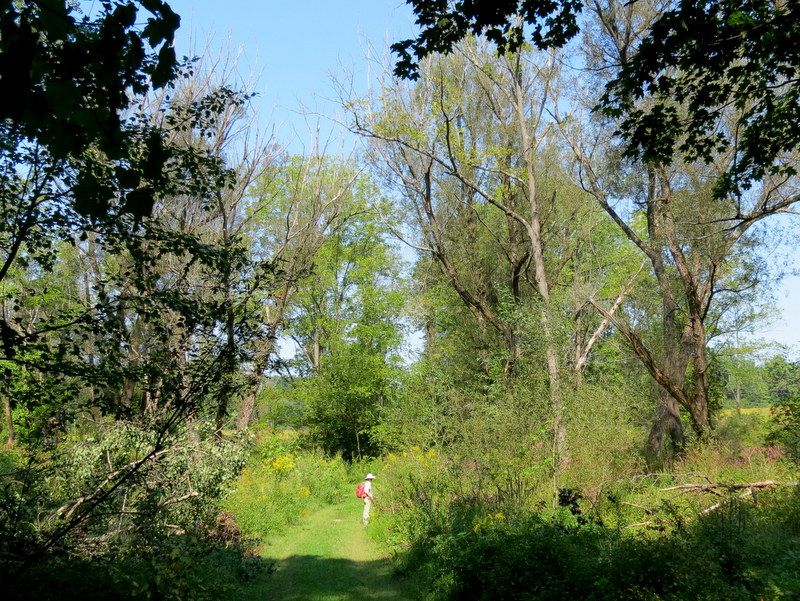
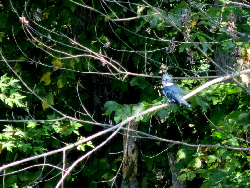
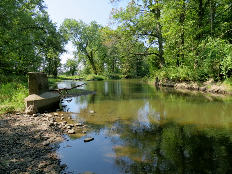
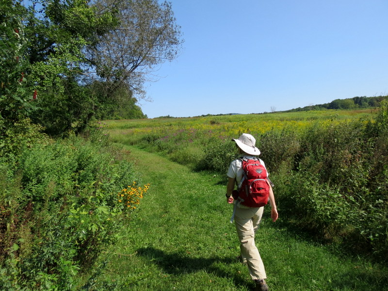
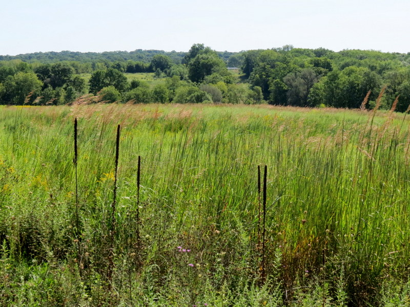
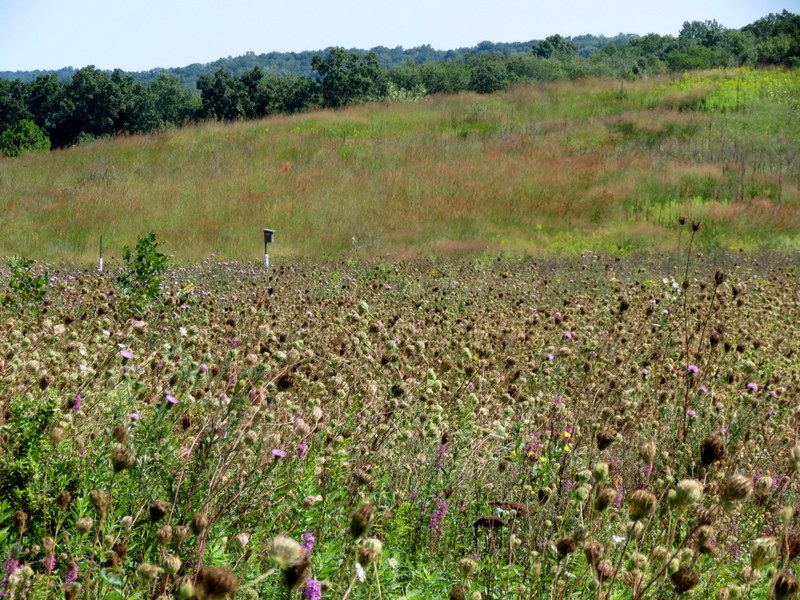
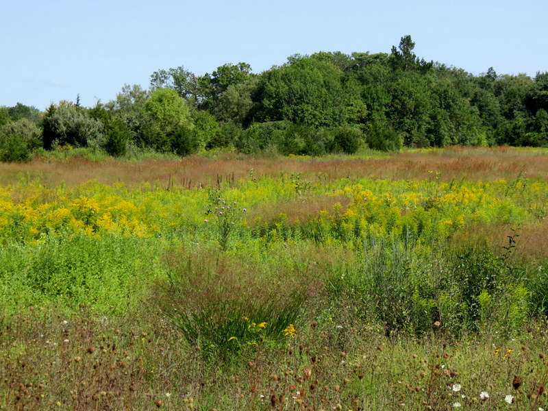
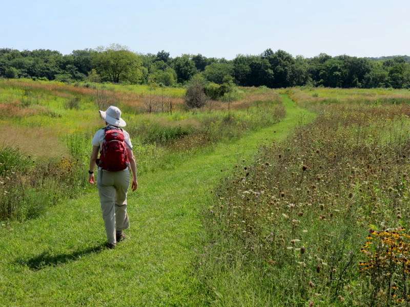
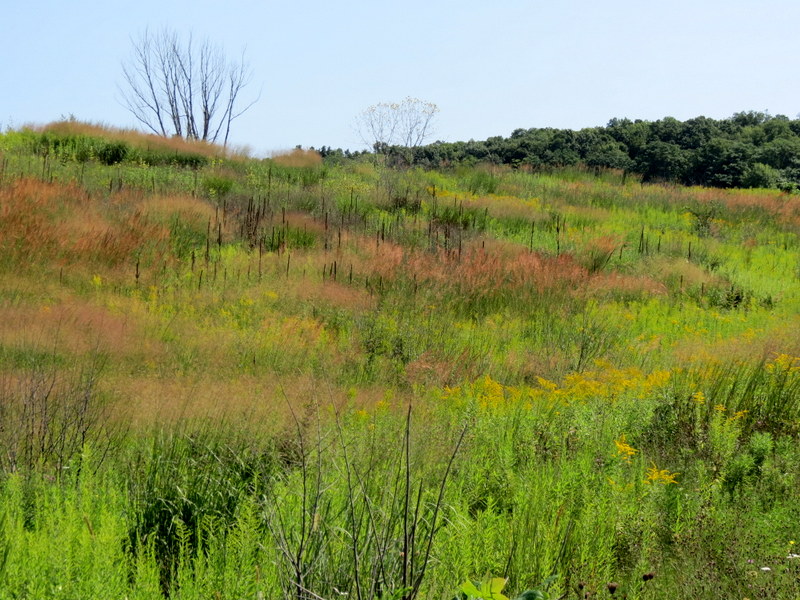
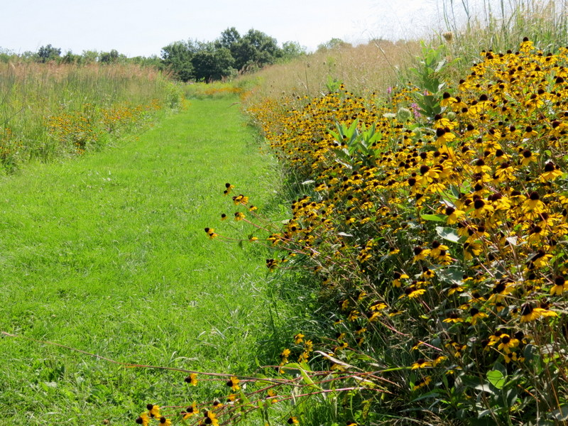
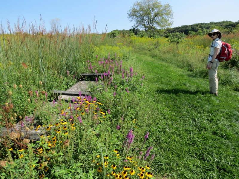
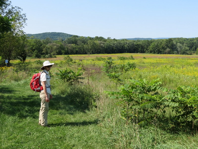
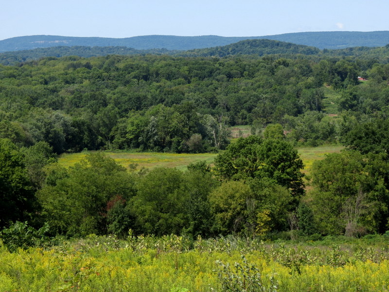
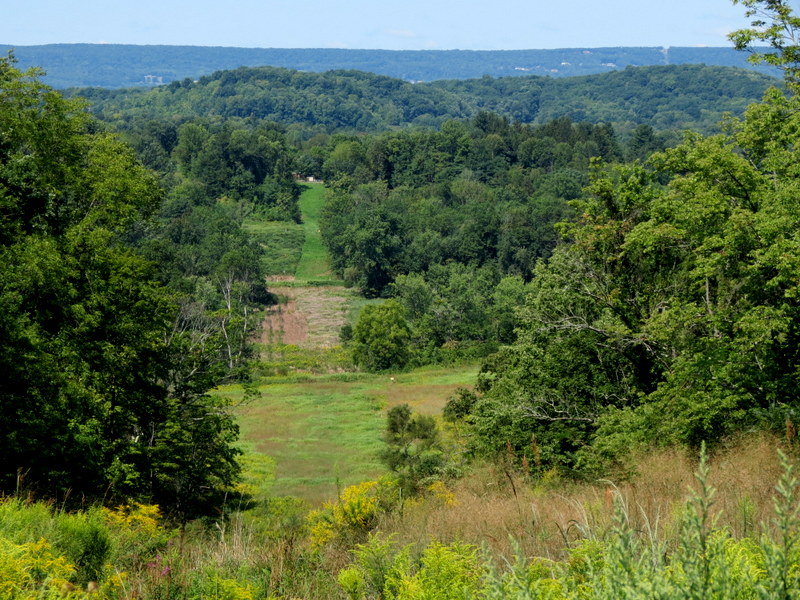
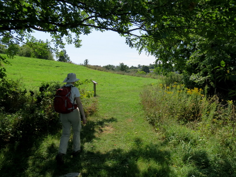
This is the second hike of two that we did today, the third weekend in a row in this beautiful refuge. We hiked this trail back in
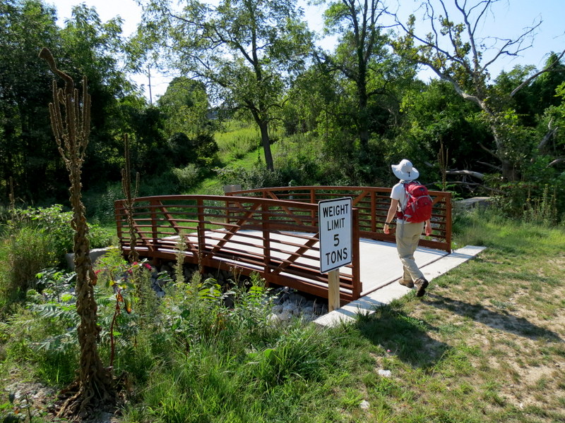
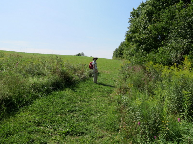
2009, in the counter clockwise direction. It rained so hard at that time that I could
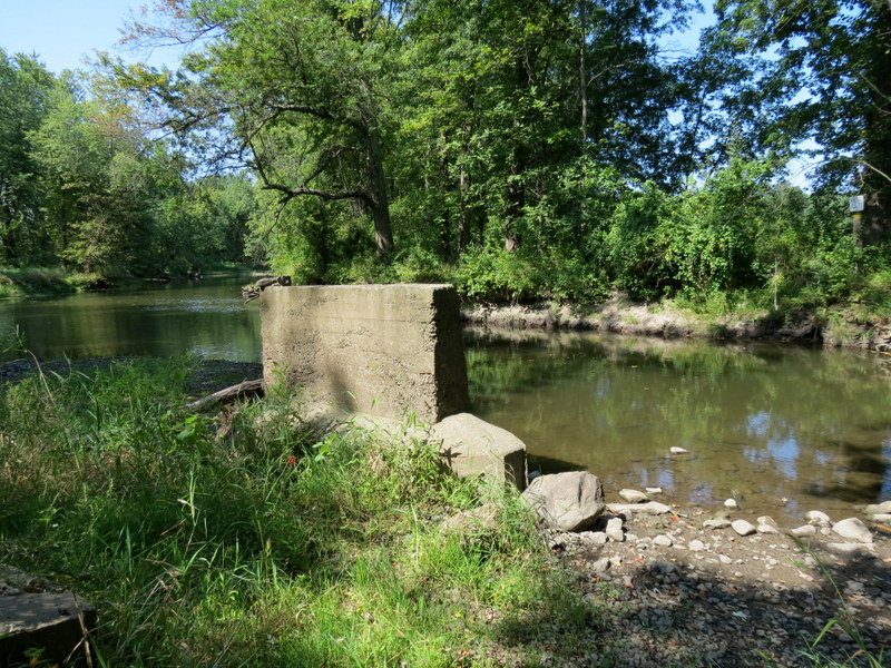
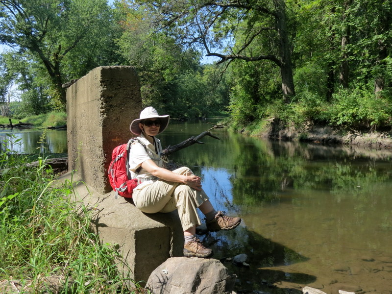
barely take photos for most of the hike. Looking at those photos it appears that there was a large wooden bridge over the Wallkill River back then. It's \
no longer there. Maybe it was destroyed by Hurricane Sandy?
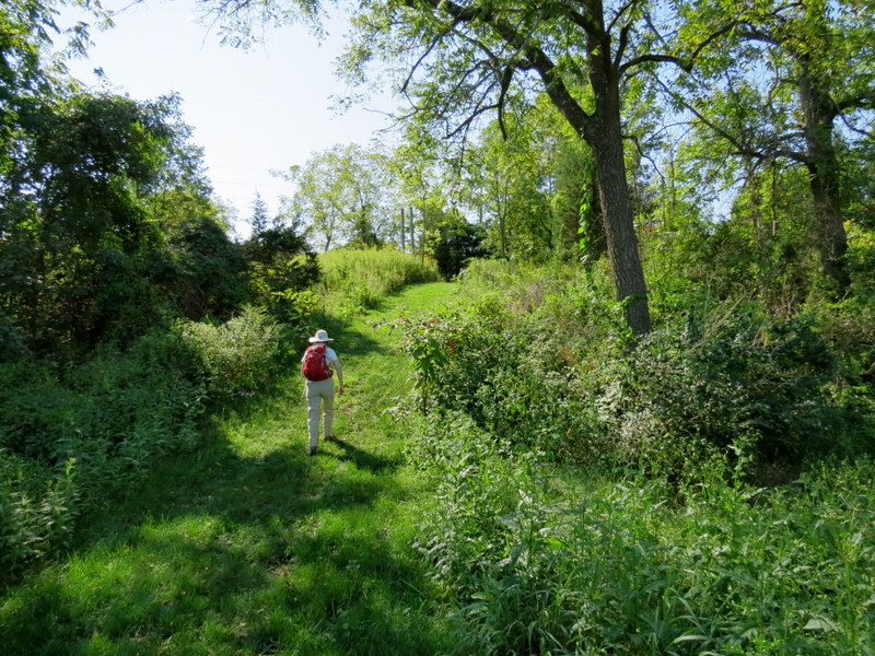
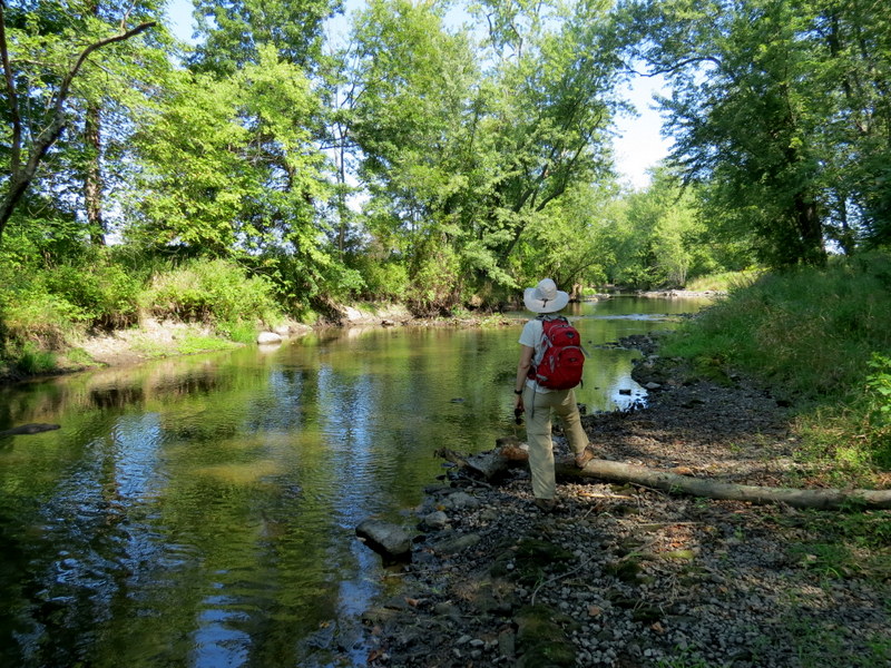
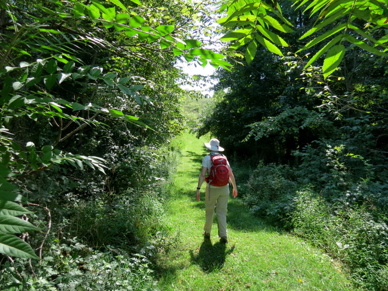
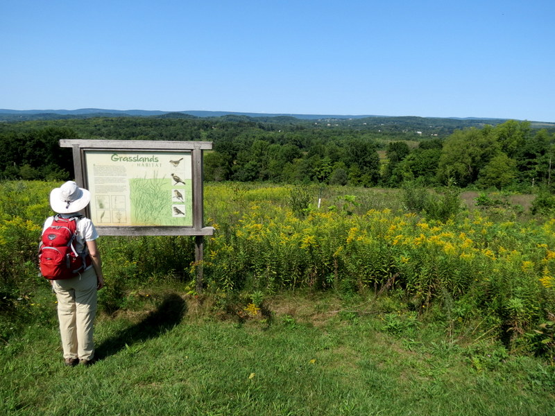
Using this map, we parked in the large paved lot at the Refuge headquarters and did the Yellow-Blue loop in a clock-wise direction. Total distance for this hike was 3.5 miles in about 75 minutes.
|
 |
 |
 |
 |
 |
 |
 |
 |
 |
 |
 |
 |
 |
 |
 |
 |
 |
 |
 |
 |
 |
 |
 |
 |
 |
 |
 |
 |
 |
 |
 |
 |
 |
 |
 |
 |
 |
 |
 |
 |
 |
 |
 |
 |
 |
 |
 |
 |
 |
 |
 |
 |
 |
 |
 |
 |

|
|
Photographs and content copyright © Dan Balogh Web design by Dan Balogh |