 |
|
We took vacation days from work the two days following Labor Day, giving us a five-day weekend. But it rained all of Tuesday and it was pouring when we woke up today (Wednesday). We thought
it was going to be a wash-out, but then the forecast indicated a smaller chance of rain after 1 PM. So we decided to hit a trail that wasn't too far from home. This area
is only 20 minutes away, and it rained during the entire drive. Miraculously, though, it stopped when we got to the trailhead, and didn't rain a single drop during the next
2.5 hours!
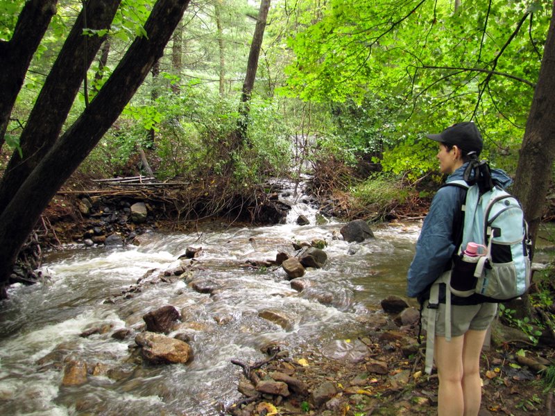
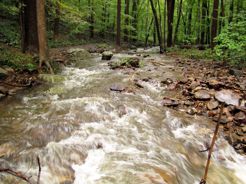
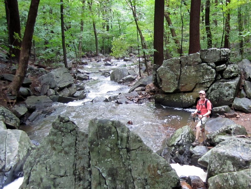
This nature area is an absolute gem! What a surprise! Dismal Brook was roaring after days of nearly constant rain. Using this map, we did the lollipop with the loop in the clock-wise direction. Total distance hiked today was 3.5 miles in less than 2.5 hours.
|
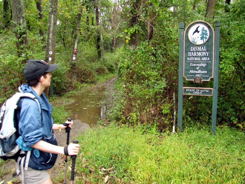 The trailhead on East Main Street in Mendham ... |
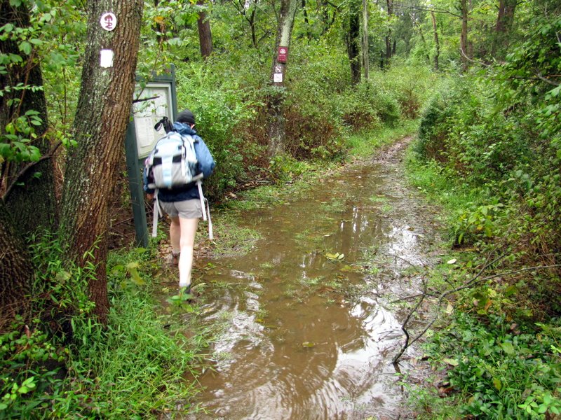 ... was the only part flooded |
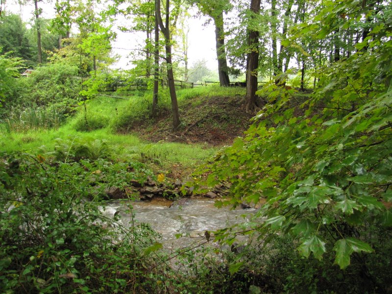
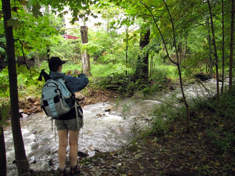 Dismal brook near trailhead |
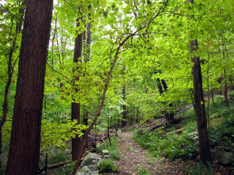
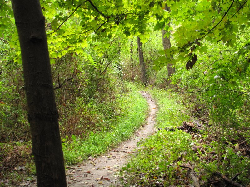 Nice narrow path |
 |
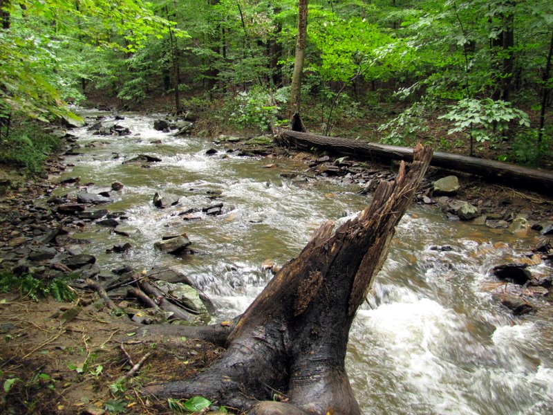
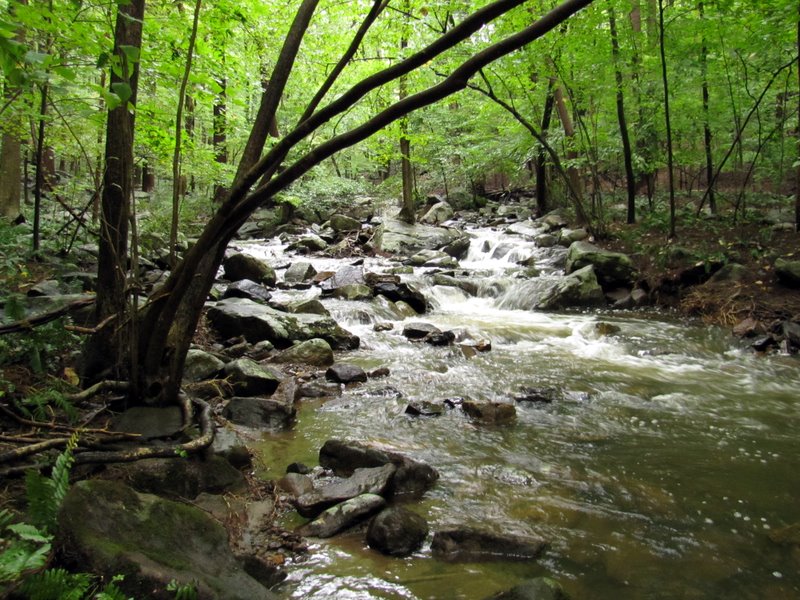
 Dismal Brook |
 |
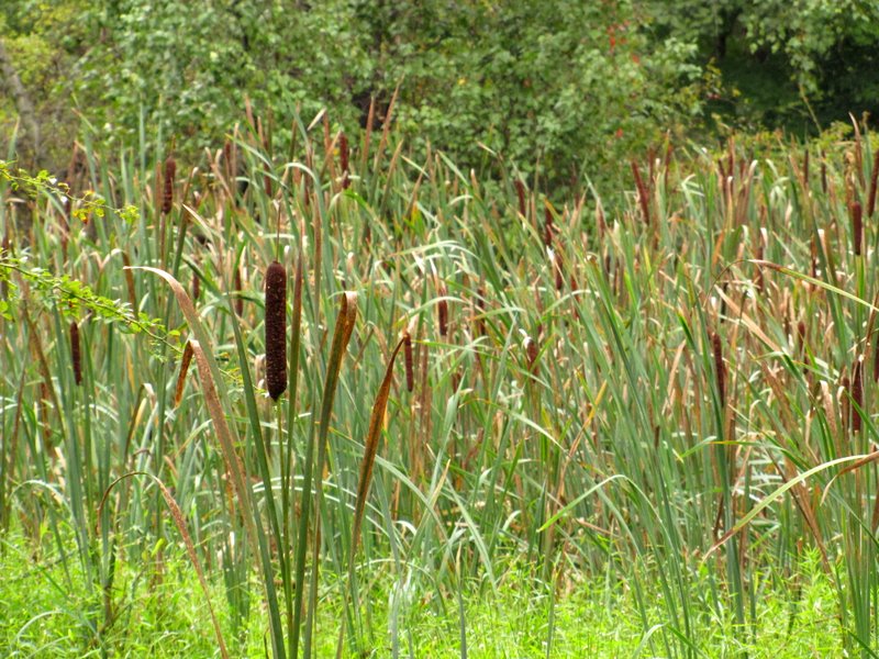 Swampy area off trail |
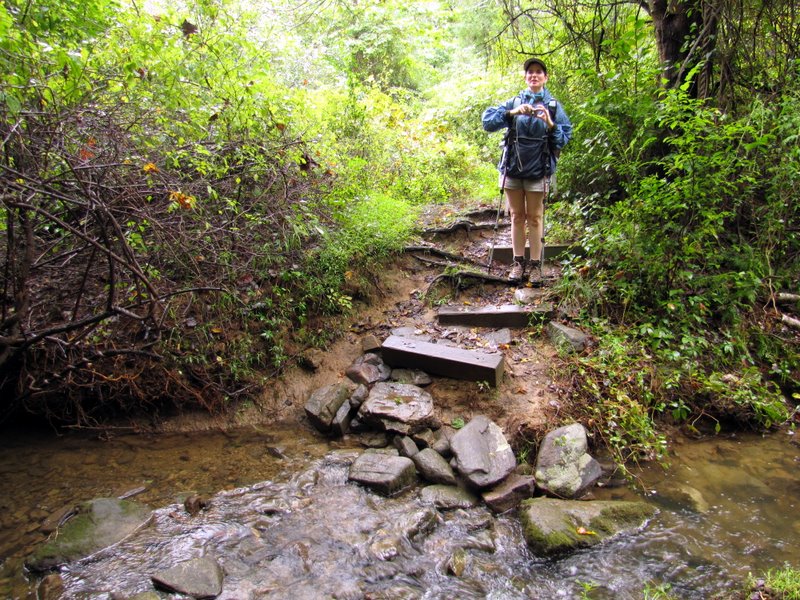
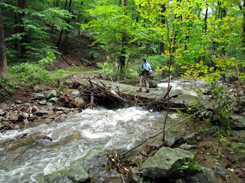
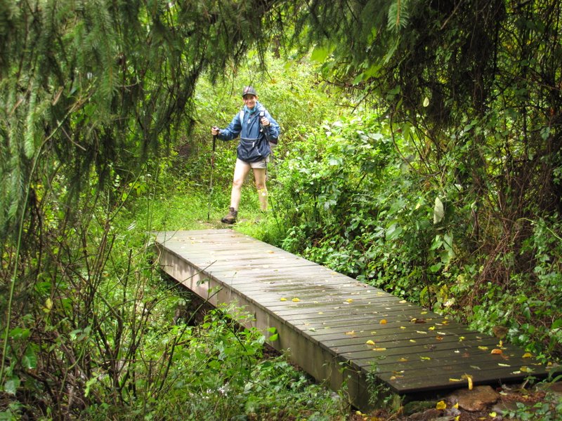 First bridge over brook |
 |
 |
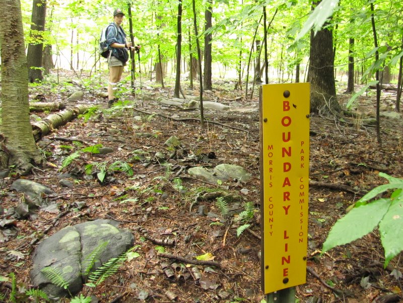
 Patriot's Path |
 |
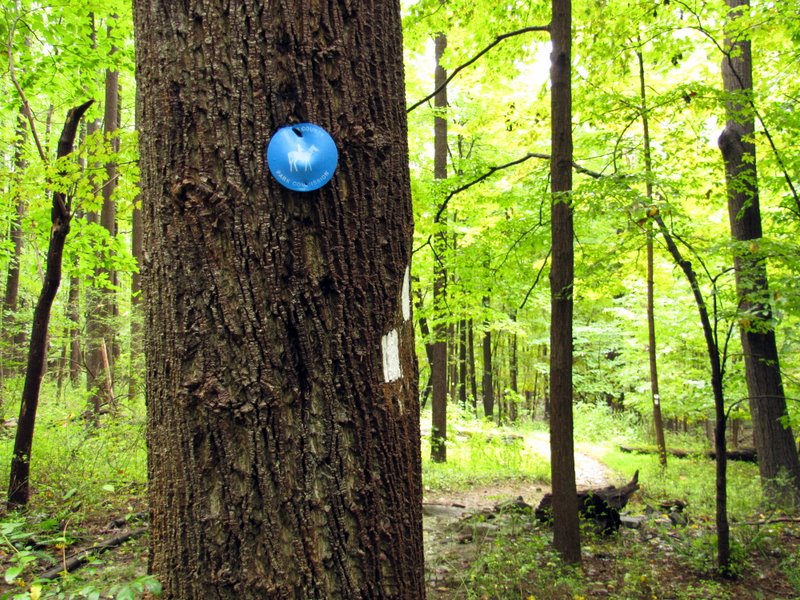 Bridle path |
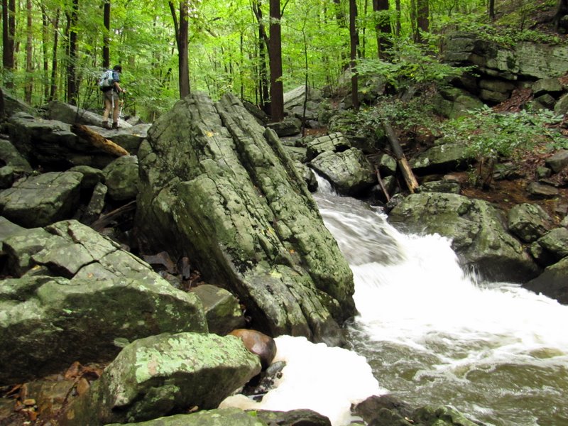
 Dismal Brook ... |
 ... was far ... |
 ... from dismal |
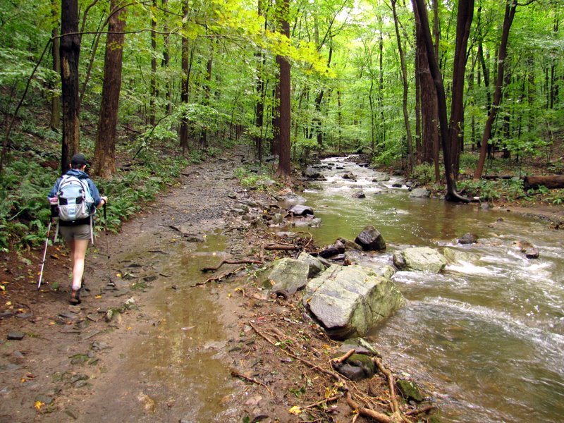 Heading upstream |
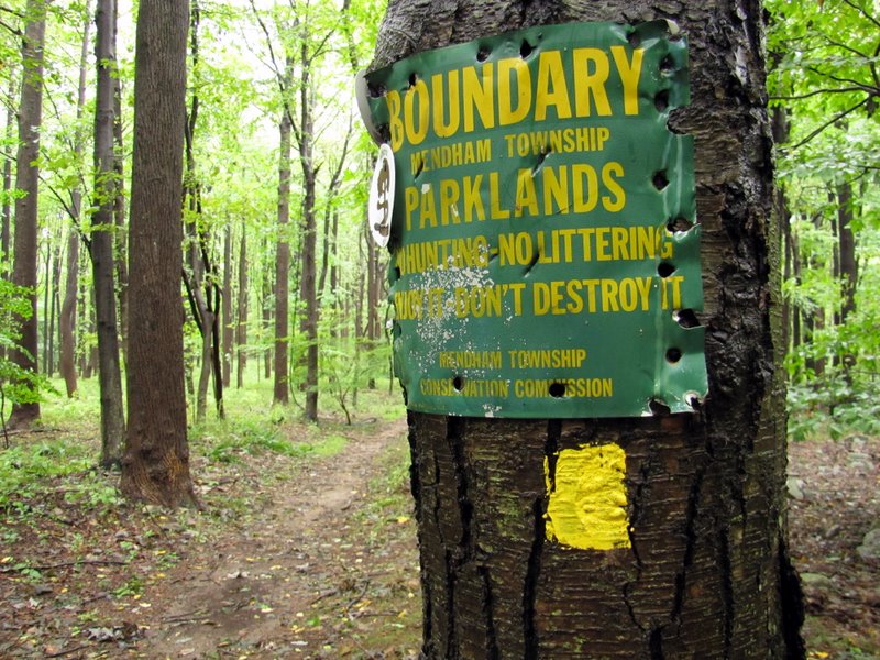
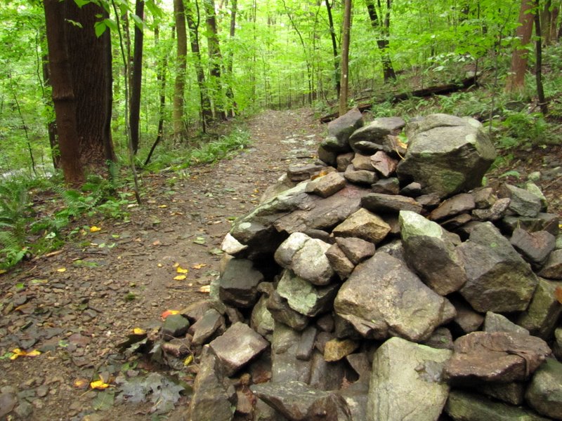
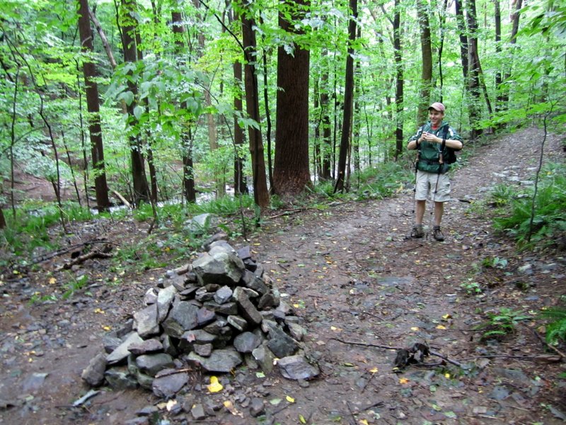 Large cairn at ... |
 ... intersection with Yellow |
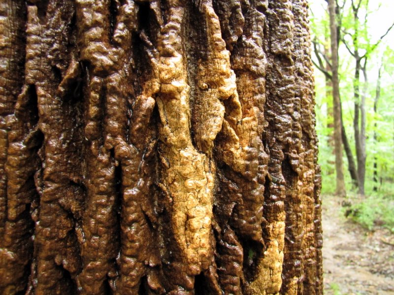 Bark of White Ash |
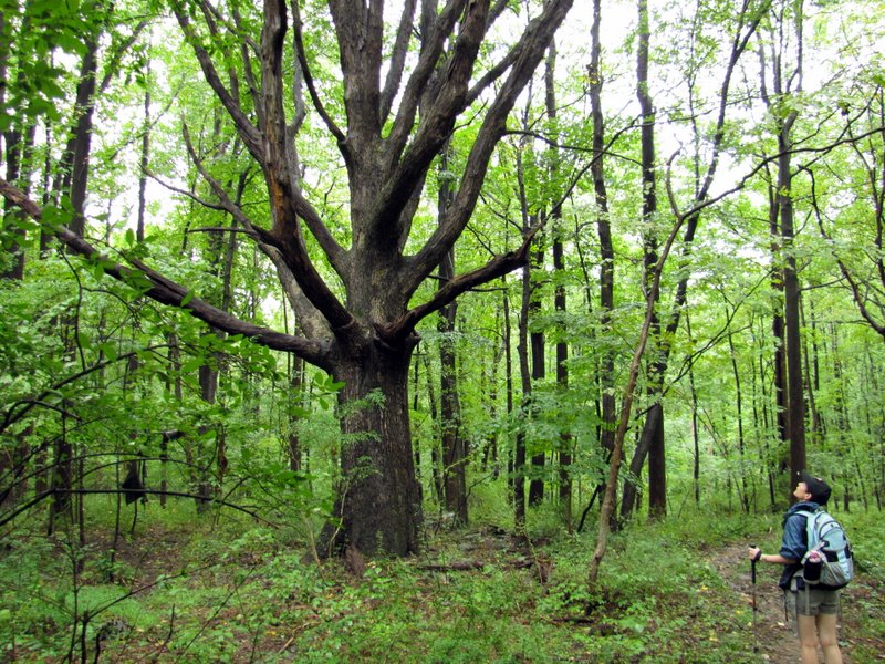 Regal old tree |
 |
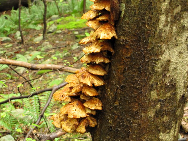
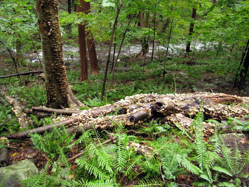
 Huge colorful mushroom |
 Approaching Legend Rock |
 Laura below |
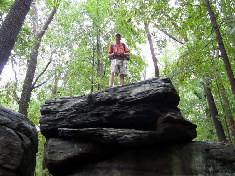 Dan above [photo by Laura] |
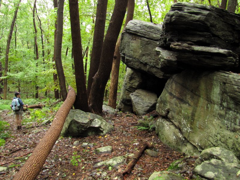 Legend Rock ... |
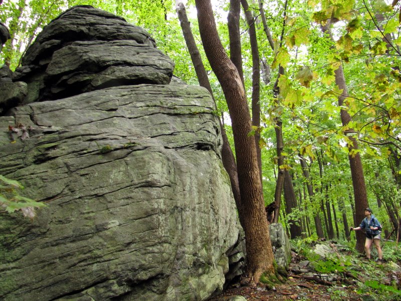 ... a huge rock outcrop |
 Back to ... |
 ... Dismal Brook |
 |
 Trail along the bank |
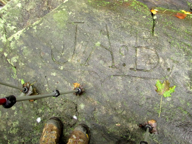 1907 graffiti! |
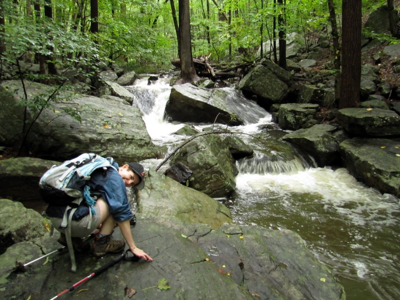 Laura loves old graffiti |
 Dan likes cascades [photo by Laura] |
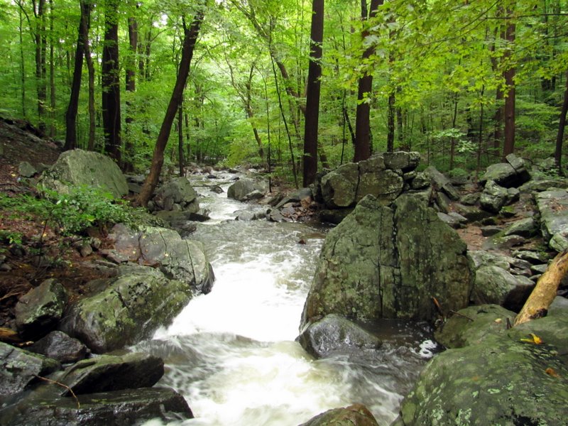 A roaring Dismal Brook |
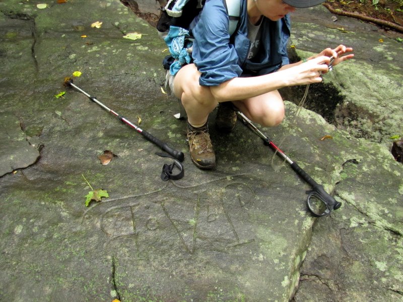 Graffiti photography |
 [photo by Laura] |
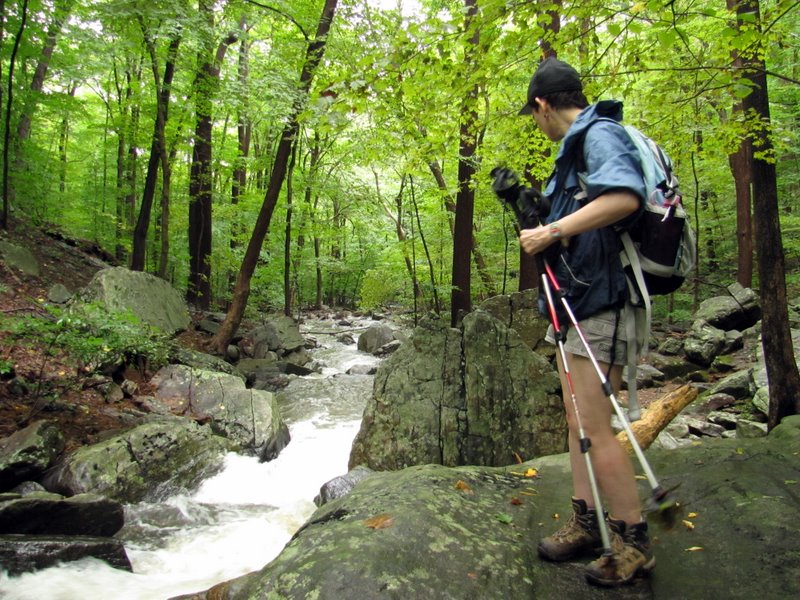 View downstream |
 View upstream, see Laura? |
 [Photo by Laura] |
 |
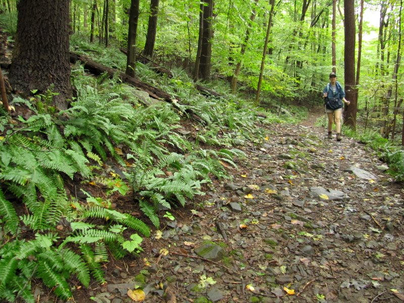 Abundant ferns |
 Back to the cairn |
 Back to second bridge crossing |
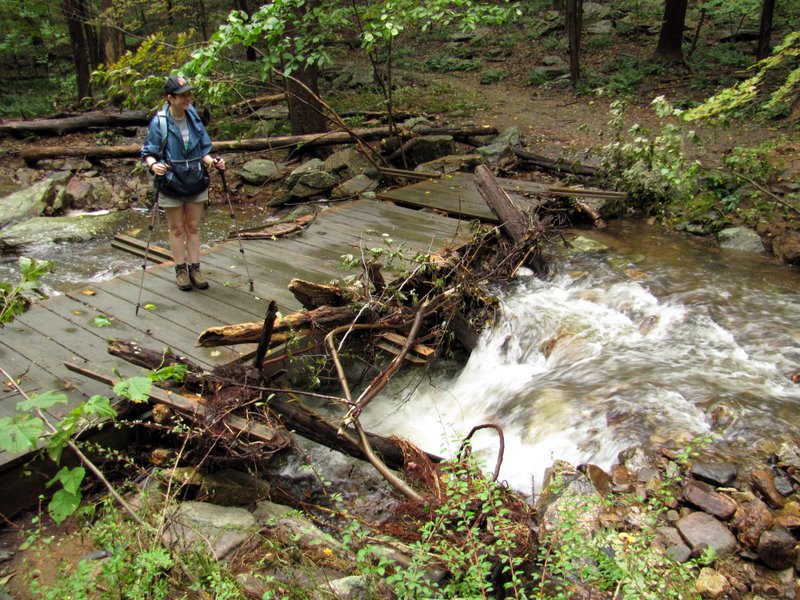 Look at that rushing water! |
 |

|
|
Photographs and content copyright © Dan Balogh Web design by Dan Balogh |