 |
|
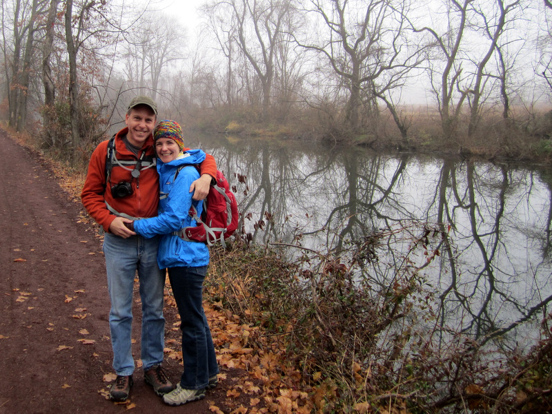
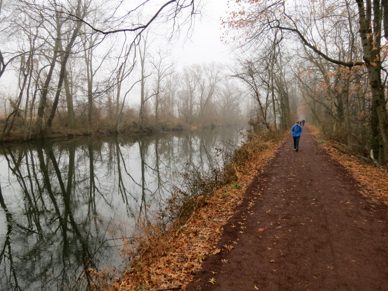
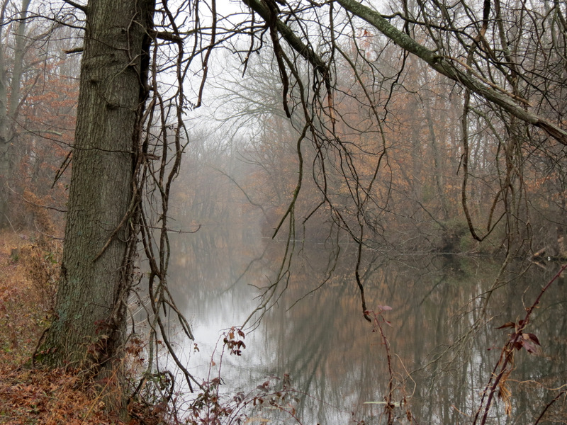
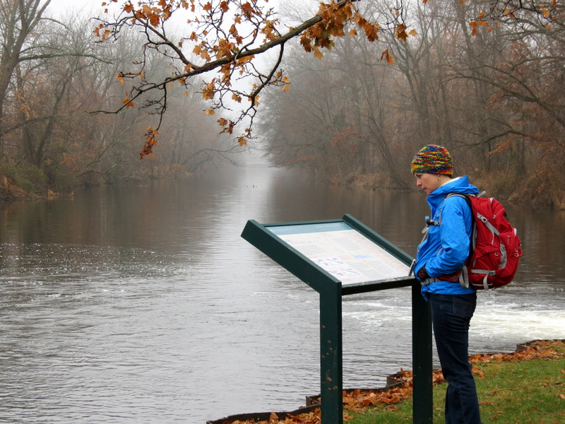
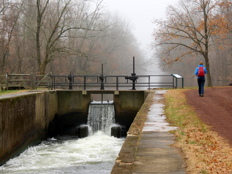
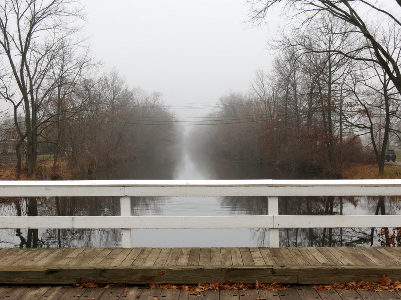
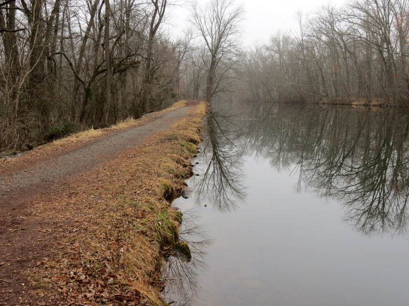
It was very foggy this morning as we drove south to visit the D & R Canal, the first time in over three years. And when we got to the East Millstone access point on
Amwell Road, a glorious stubborn fog still hung over the canal adding an ethereal beauty to an already lovely area. With an overcast sky, my favorite lighting for taking
photos, I knew I'd be getting some very pretty photos.
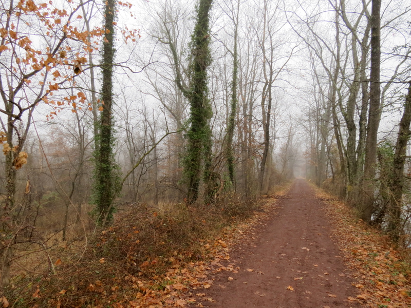
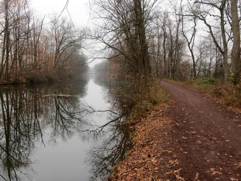
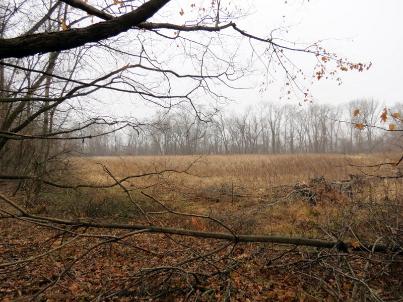
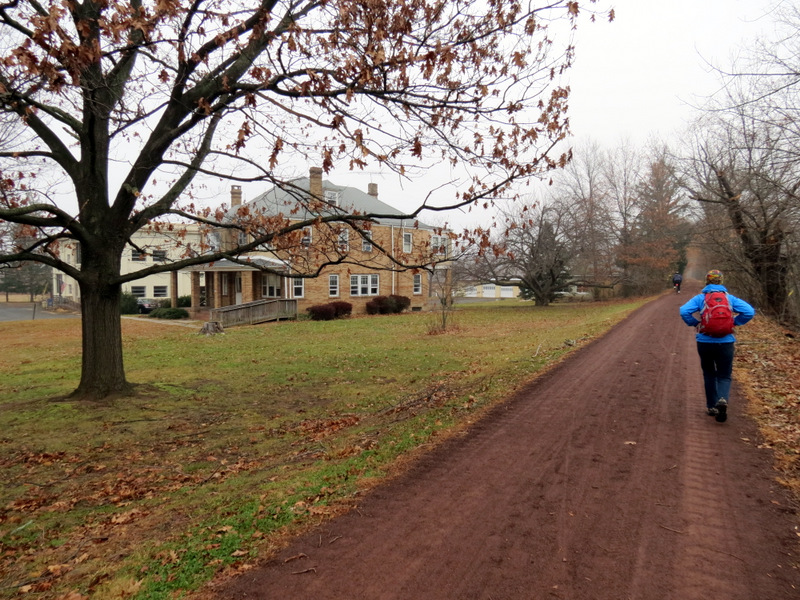
Hike #36 ("D&R Canal, Weston to East Millstone") in Hiking New Jersey: A Guide to 50 of the Garden State's Greatest Hiking Adventures (1st edition) covers a 2.1-mile stretch of the hike we did today. That hike has you beginning in Weston, hiking south to East Millstone, and then turning around. Today we started in East Millstone, hiked north passing Weston and continued past Zarephath all the way to Lock 10 before heading back, with a side trip into Colonial Park on the way back. It seems that the canal path was hit hard by Hurricane Sandy but a yeoman's job was done to bring it back into shape. Dozens of tree stumps now line the way, where large trees used to stand. Before heading home, we grabbed a nice lunch at the quaint East Millstone Antiques & Cafe, within eyesight of the canal parking lot. Doubting they'd have anything substantial for two vegetarians we were amazed to find that the very first two items on the lunch menu were vegetarian (maybe even vegan): a black bean burger and a veggie burger. Laura got the former while I got the latter. Total distance covered was nearly 7.5 miles in 2 hours and 45 minutes.
|
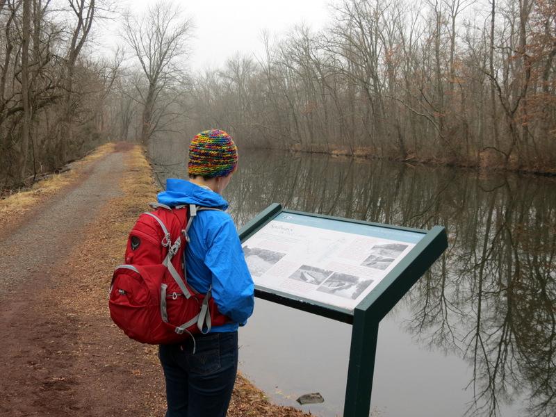
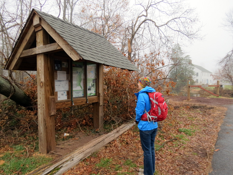 Kiosk at East Millstone |
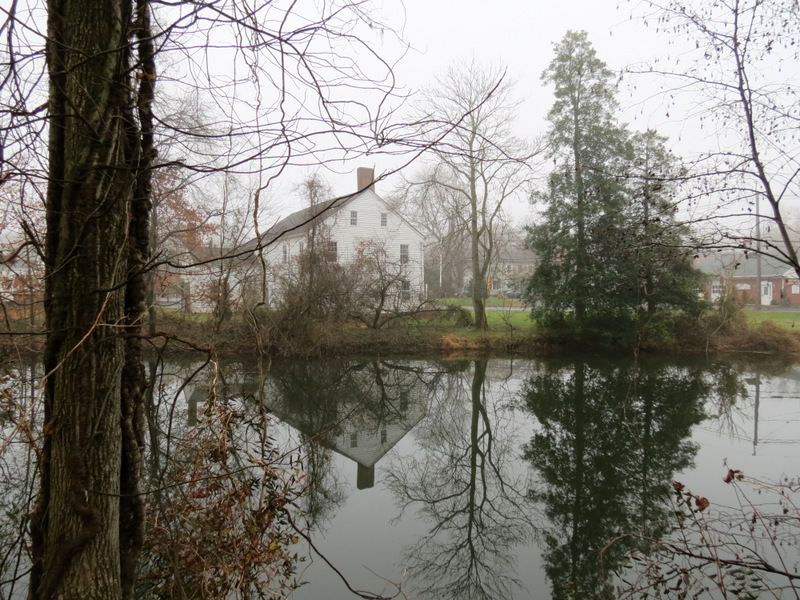
 East Millstone in the fog |
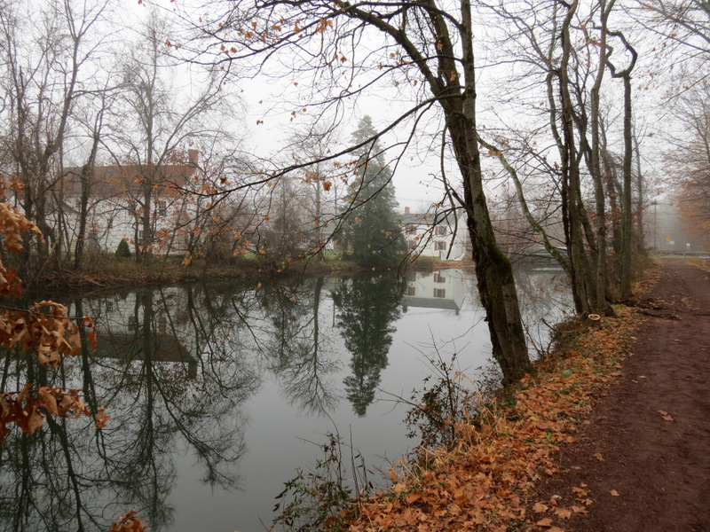
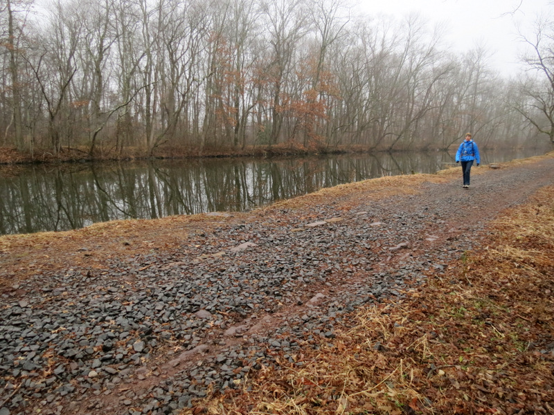
 First view of the canal |
 Our lunch spot is on the right |
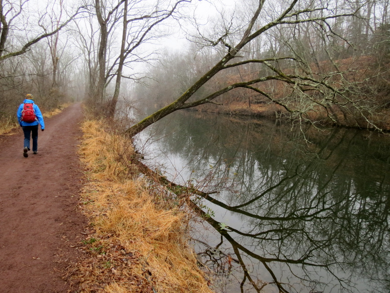
 Heading north |
 |
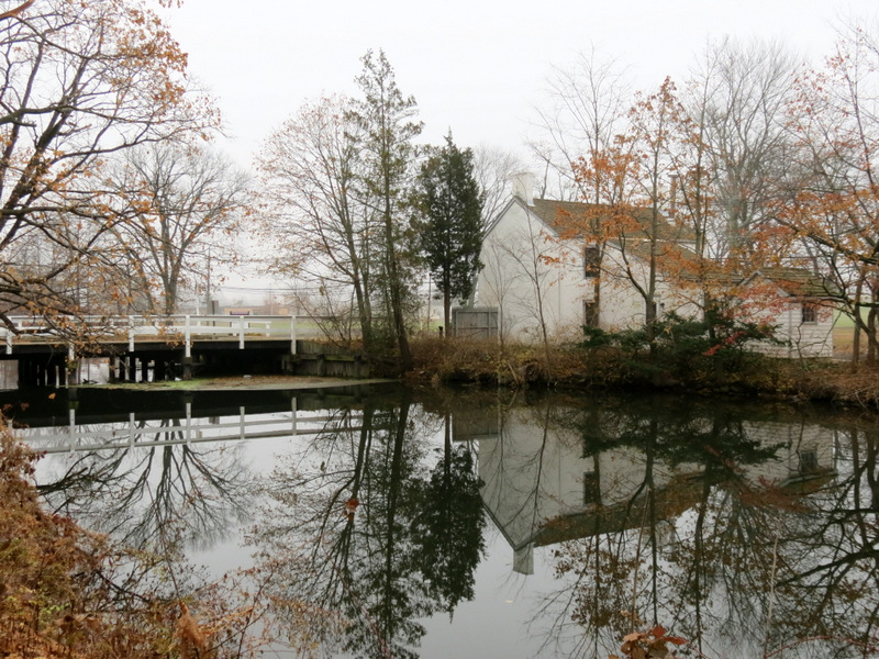
 Historic Franklin Inn |
 |
 |
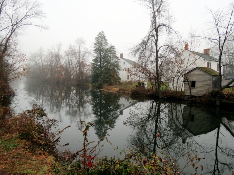
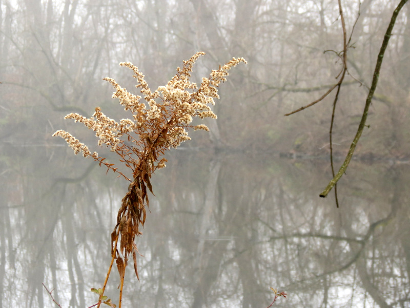
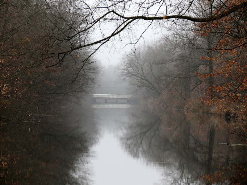
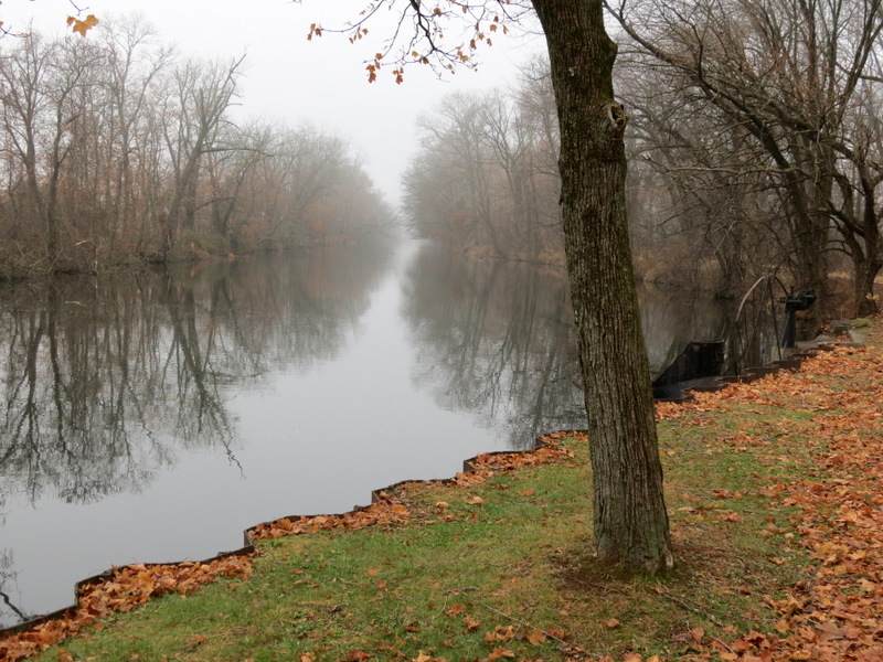
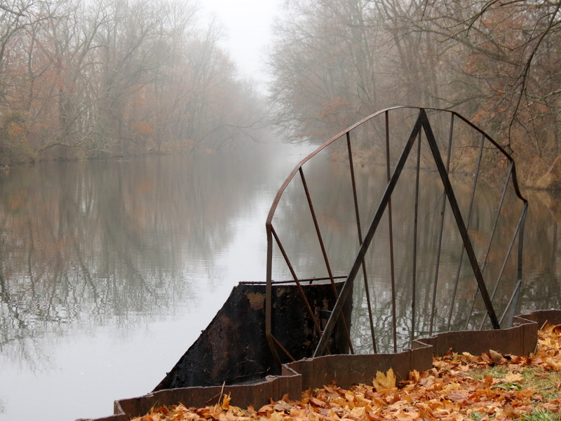
 Foggy reflections |
 |
 |
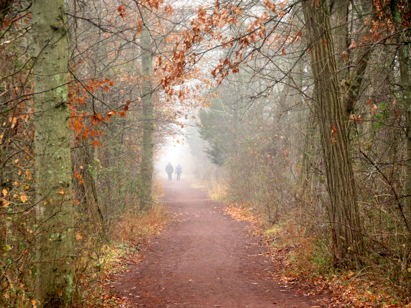
 Two others in the far distance |
 Awwwww [photo by ?] |
 |
 |
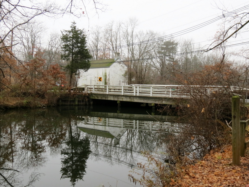
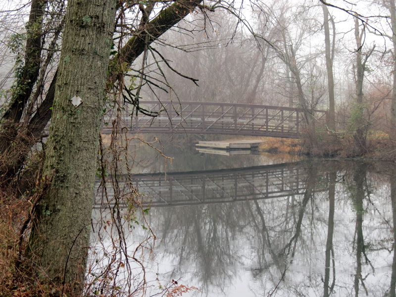 Bridge to ... |
 ... Colonial Park |
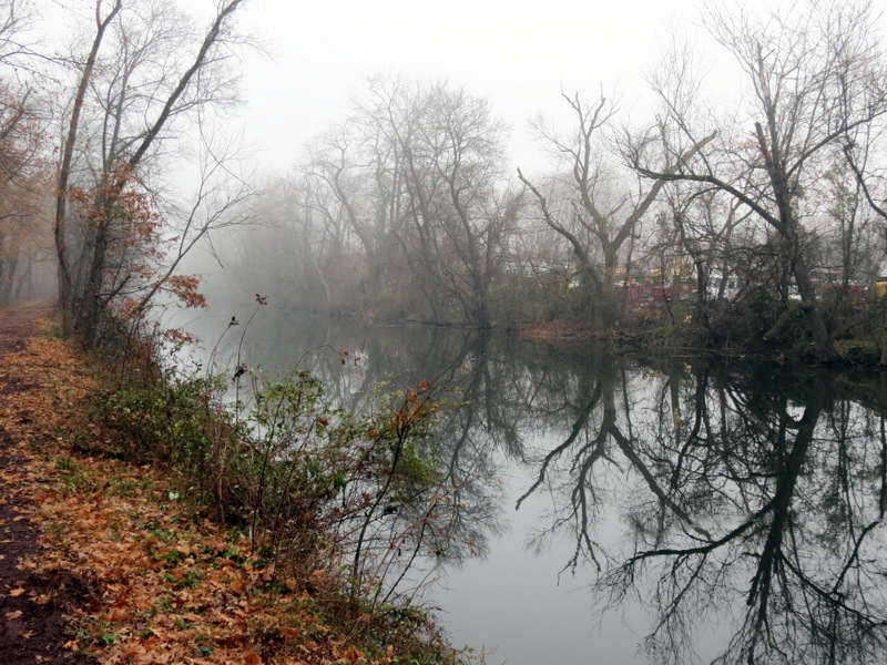
 Reflections |
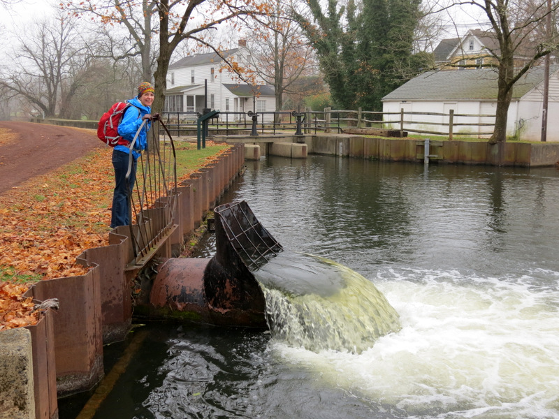
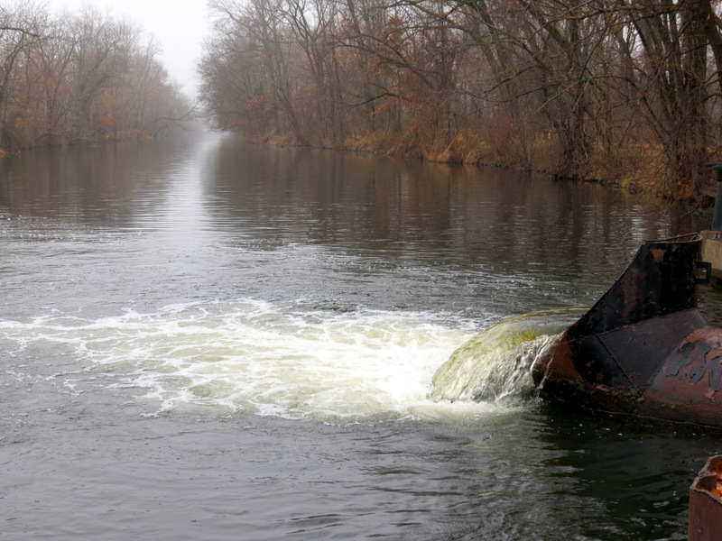
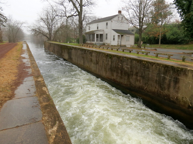
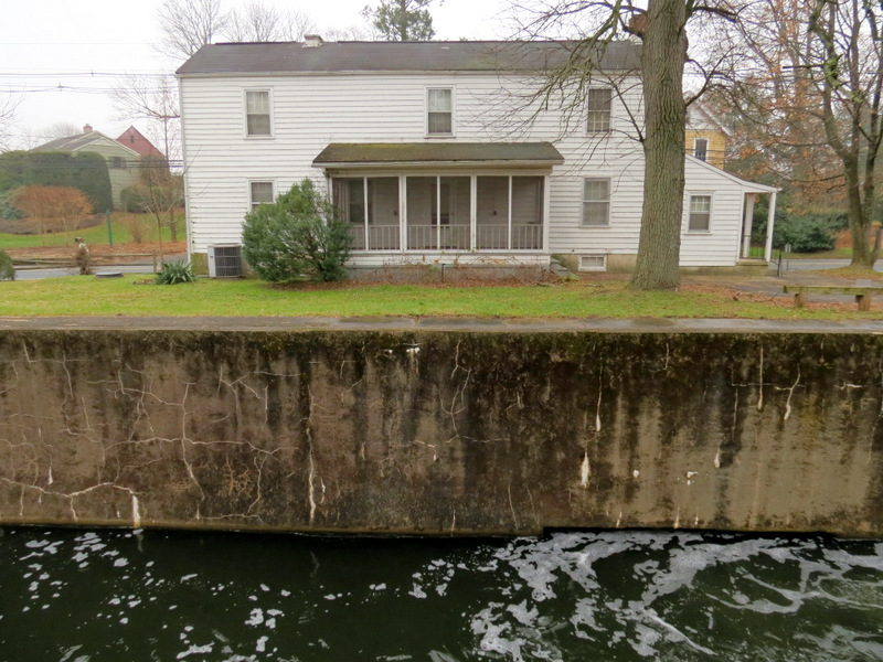
 Near the spillway |
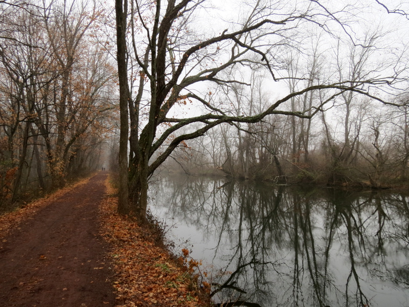
 Millstone River on left |
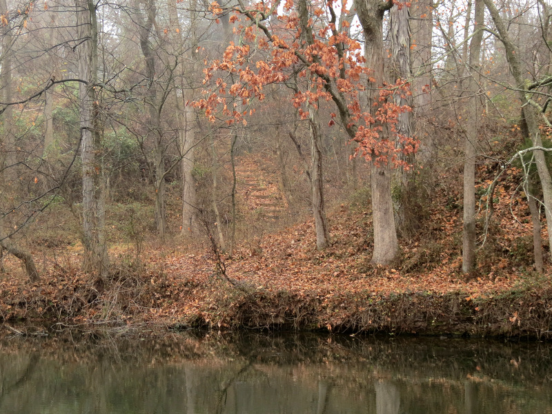 Steps on other bank |
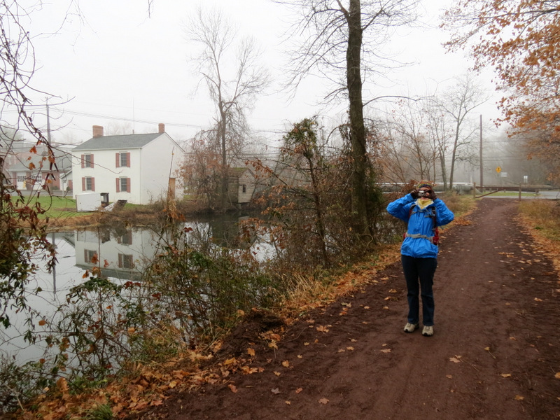
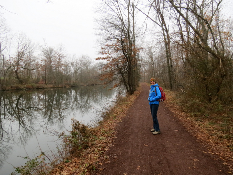
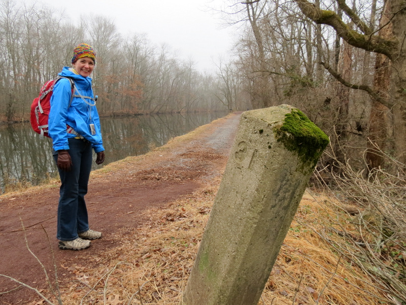
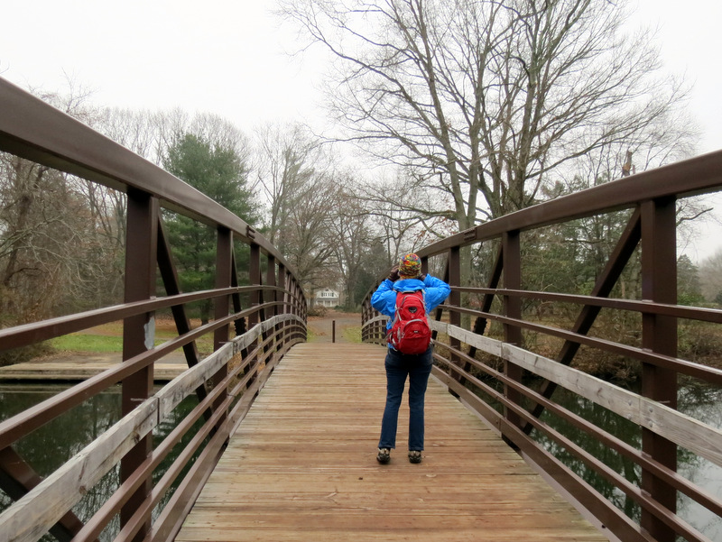
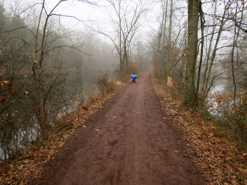 Laura de-layers |
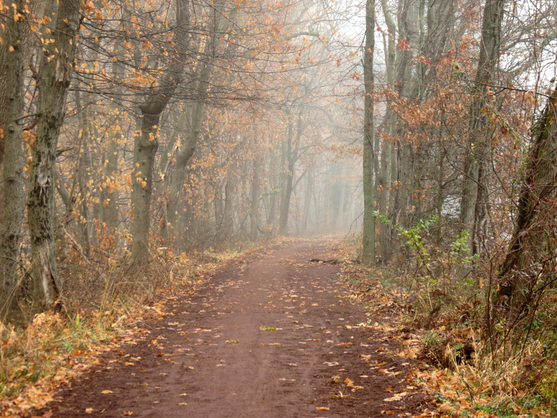
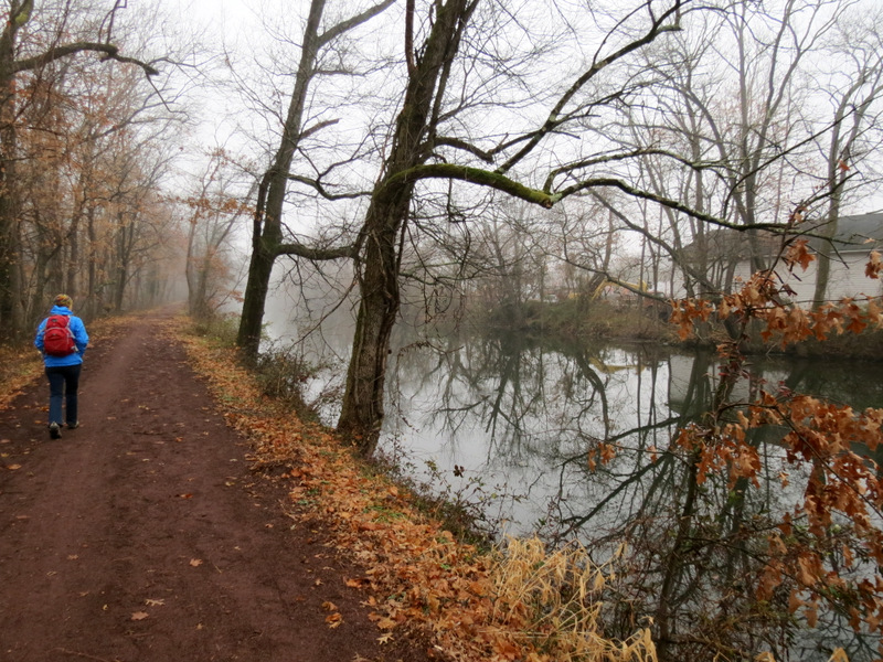
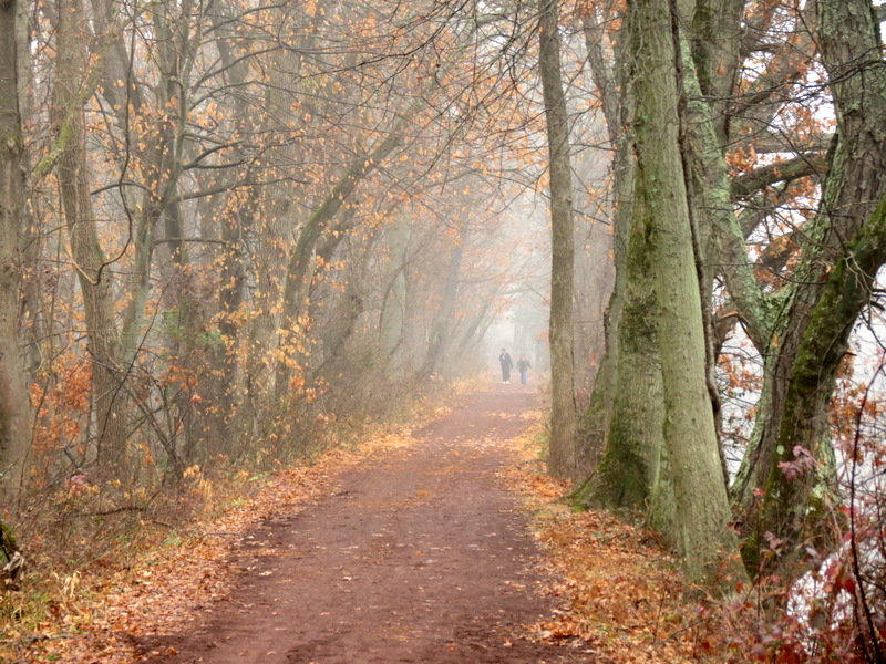
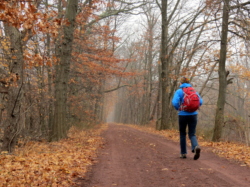
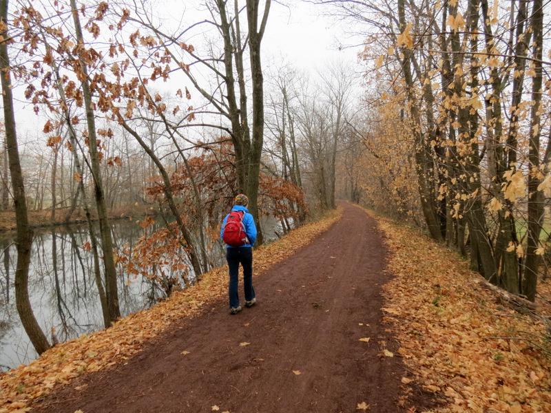
 A misty morning walk |
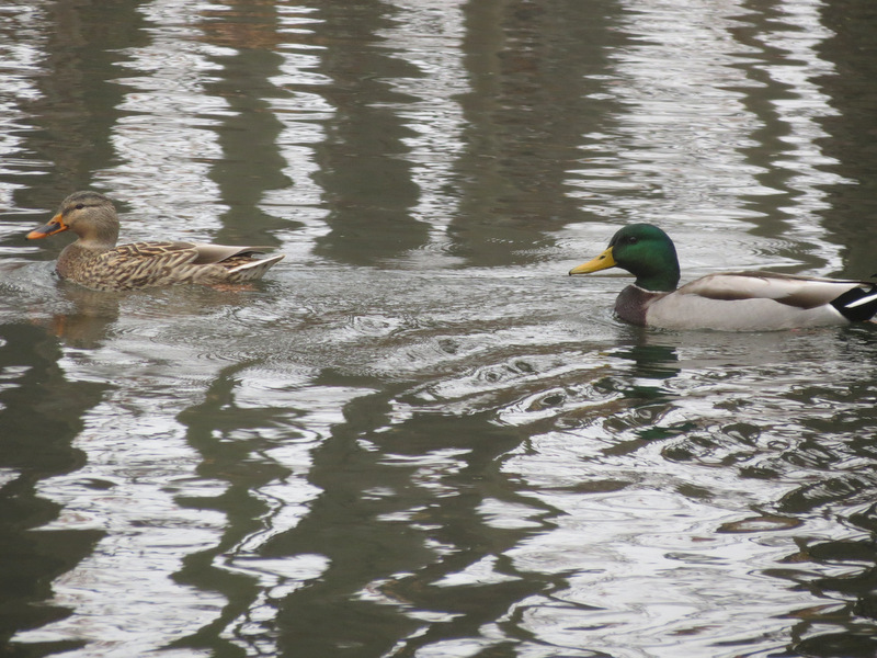
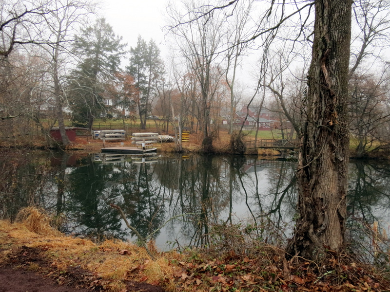 Boats |
 View north |
 View south |
 |
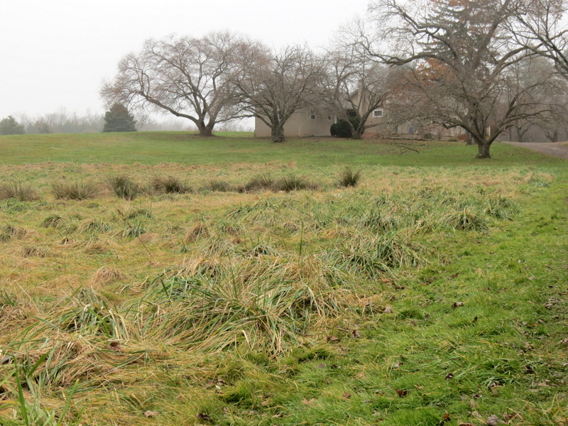
 Lots of new stumps |
 |
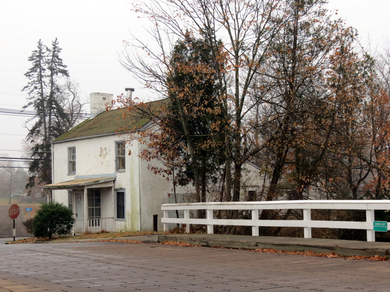
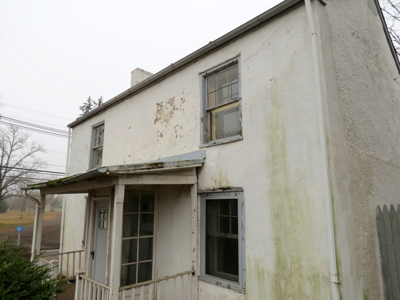
 Weston bridge tender's house (1831) |
 |
 |
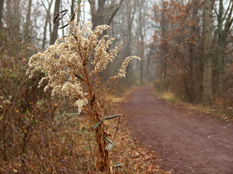
 Path north of Weston |
 View to bridge at Weston |
 Corn fields west |
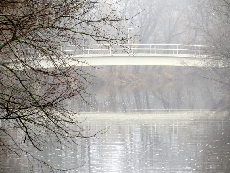
 Misty bridge in distance |
 |
 Historical building ... |
 ... at Zarephath |
 Pillar of Fire church |
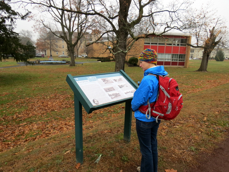 Informational sign about Zarephath |
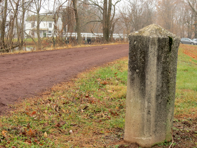 33 miles to Bordentown |
 |
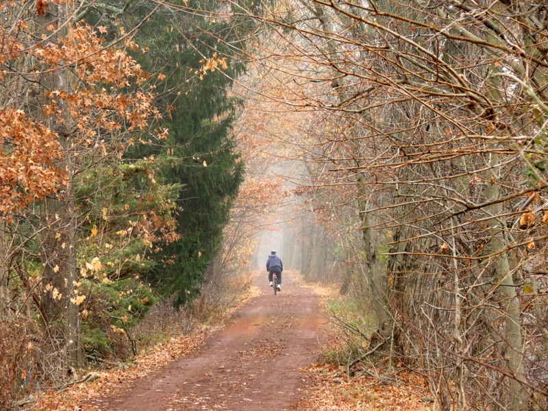 Biker |
 Heading north of Zarephath |
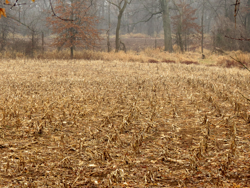 Corn rows west |
 Milepost photography [Photo by Laura] |
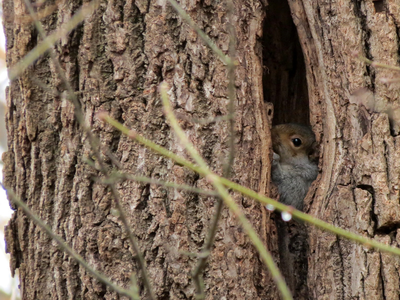 Shy squirrel |
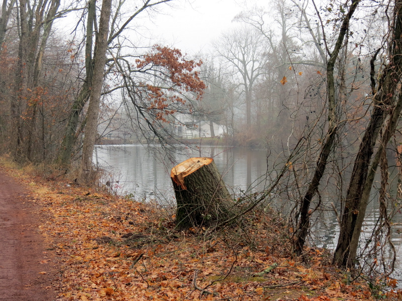 Stump near Lock 10 |
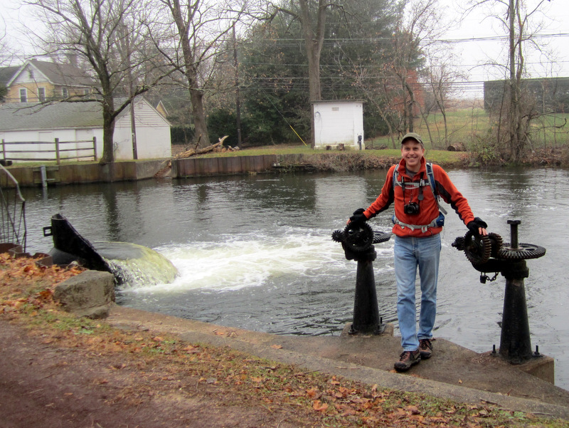
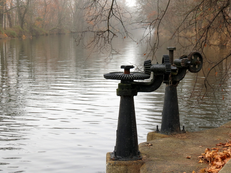
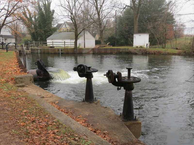 Gears at Lock 10 |
 [Photo by Laura] |
 |
 |
 |
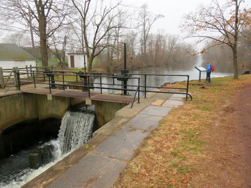
 Informational sign at Lock 10 |
 Lock 10 |
 |
 Lock 10 tender's house |
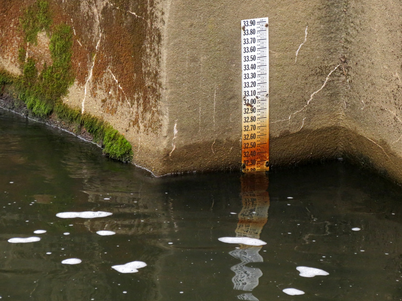 Water level |
 Bridge north of Lock 10 |
 |
 |
 View south from Lock 10 |
 |
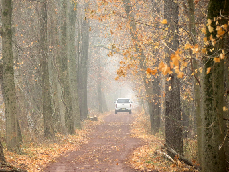 Park vehicle heading south on path |
 Heading back |
 |
 Zarephath bridge tender's house |
 View north from Zarephath bridge |
 |
 Heading back south |
 Weston bridge tender's house |
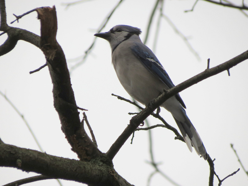 Blue jay |
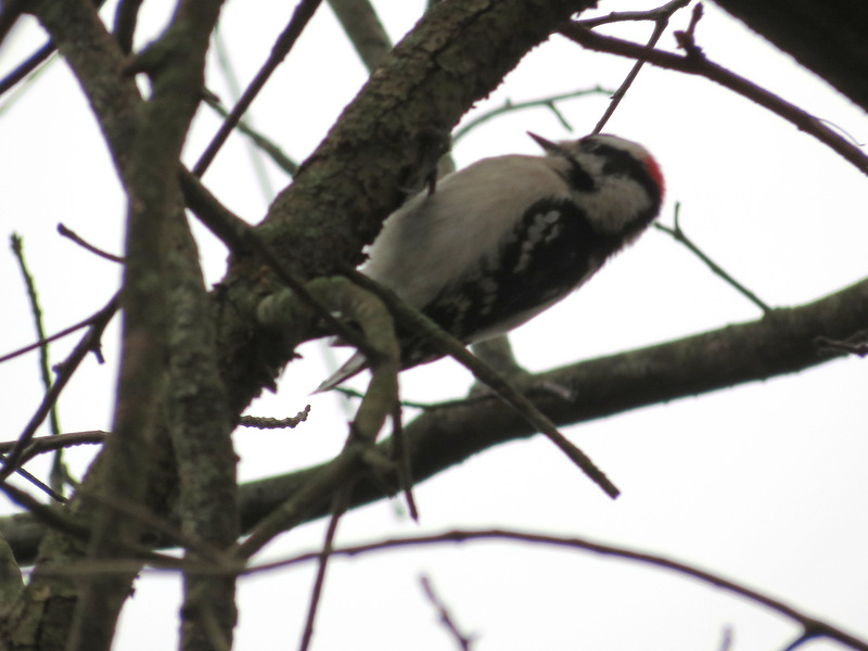 Downy woodpecker |
 |
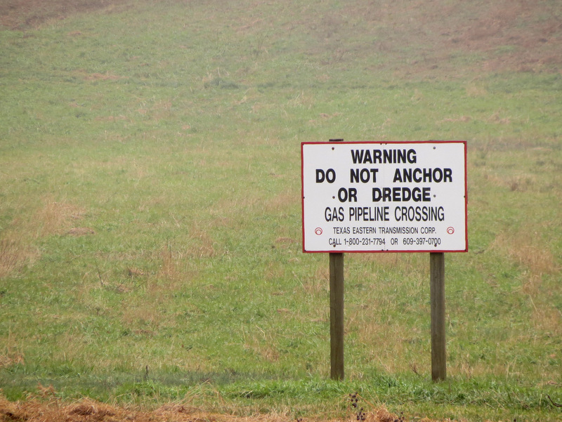
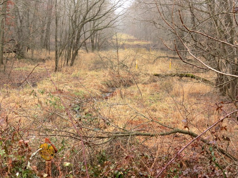 Gasline cut |
 31 miles to Bordentown |
 Informational sign at spillway |
 |
 Birdhouse west |
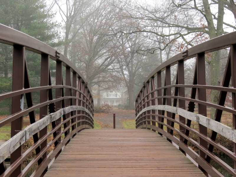
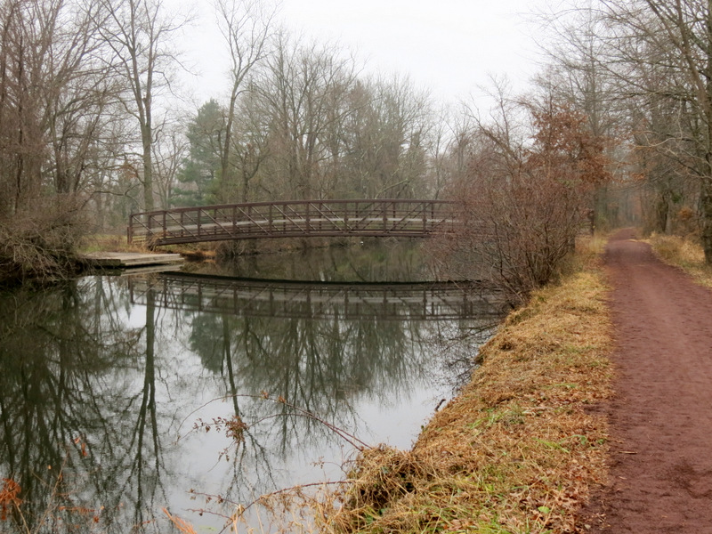 Bridge to Colonial Park |
 Sign at Millstone River |
 On bridge to park |
 In Colonial Park |
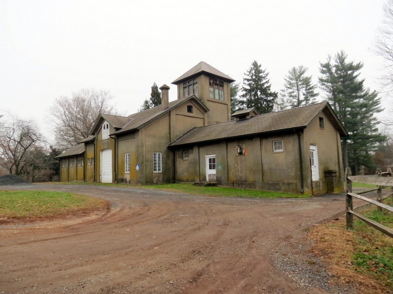 Horticulture building |
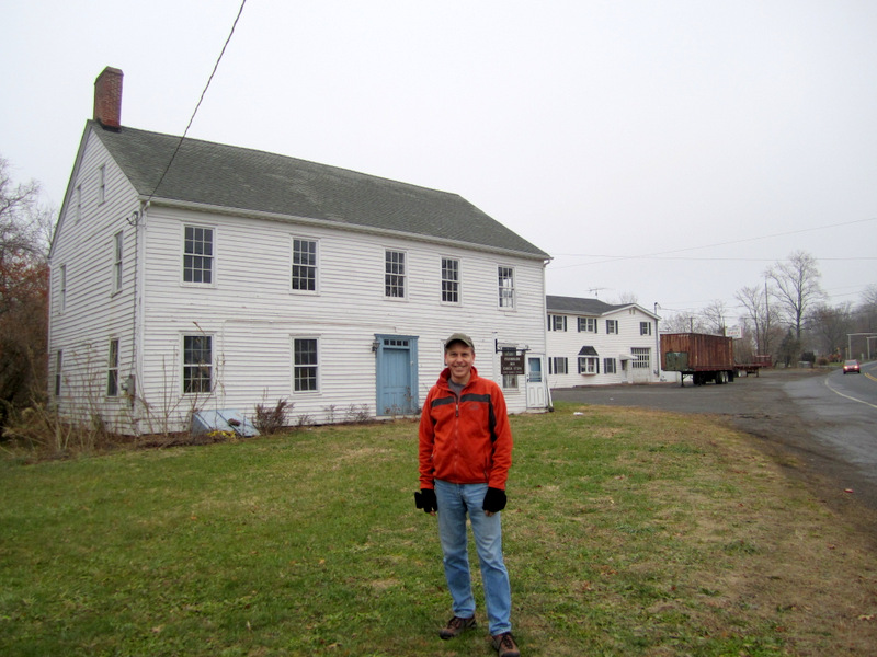 Franklin Inn (1752) [photo by Laura] |
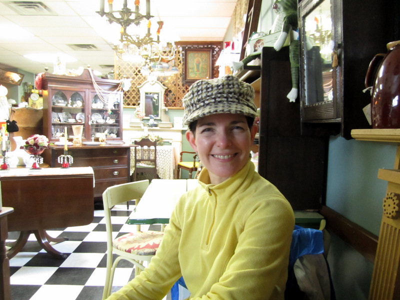 Inside East Millstone Antiques & Cafe |

|
|
Photographs and content copyright © Dan Balogh Web design by Dan Balogh |