 |
|
Just over three months ago, we walked the 4 mile stretch (twice) between Kingston Lock and Alexander
Road. Today, Independence Day, in our pursuit of section-walking the entire D & R Canal, we returned to continue south from Alexander Road with the intent of making it to
Route 1 before returning. But when we got to about a
quarter of a mile of Route 1, we were surprised to see a trail heading west called the "Brearley-Great Meadow Trail. It had a nice prominent sign and looked promising,
so we took that, believing that perhaps it formed a loop with the D & R and would come out near Route 1. But it went directly west to the Brearley House (dating from 1761,
and now the headquarters of the Lawrence Historical Society). Continuing a bit west from there, we realized that the trail was not going to get to the D & R at Route 1 so
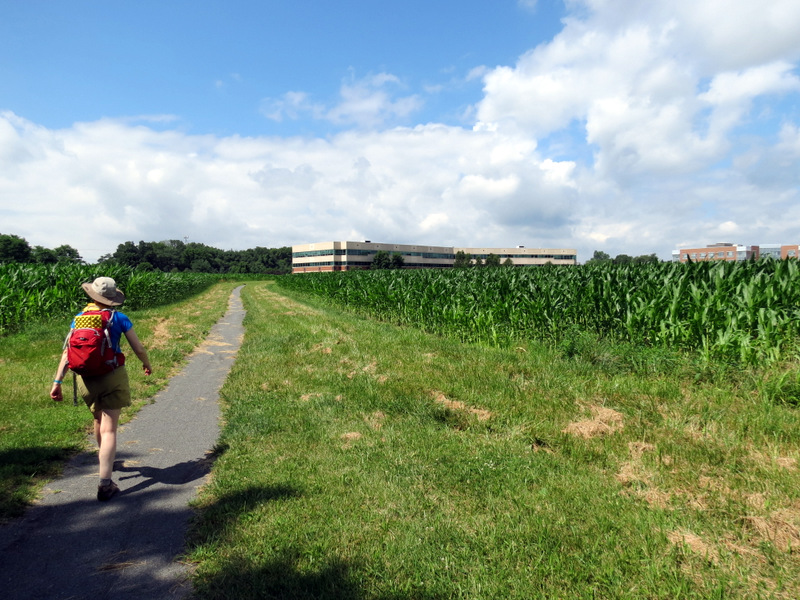
we backtracked along the Brearley-Great Meadow Trail to the canal (adding an additional 3/4 of a mile). Hot (it was in the 90s) and humid (my camera lens kept fogging up)
we decided not to head to Route 1 (which would have added at least another half mile) so we headed back to Alexander Road.
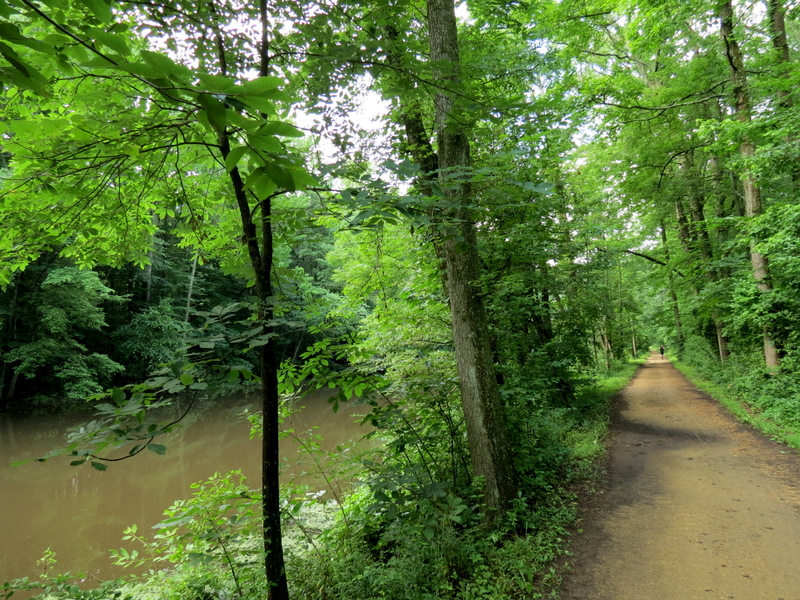
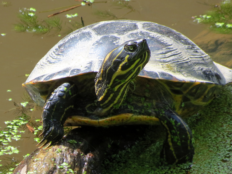
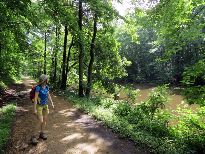
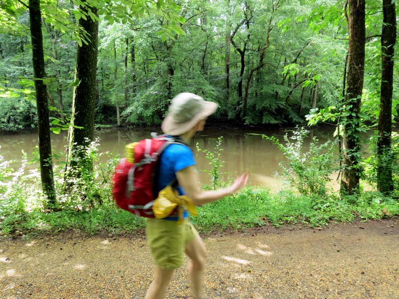
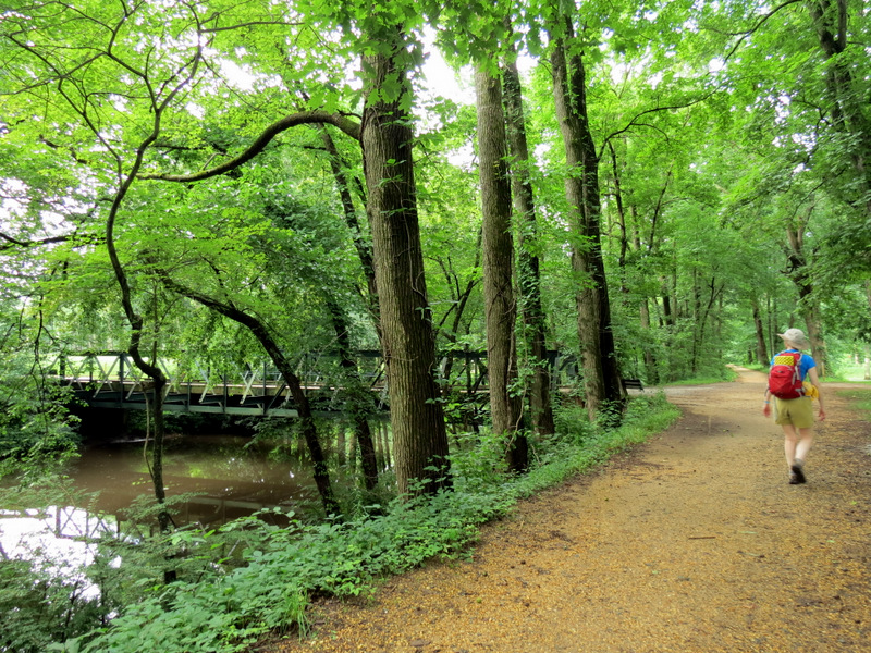
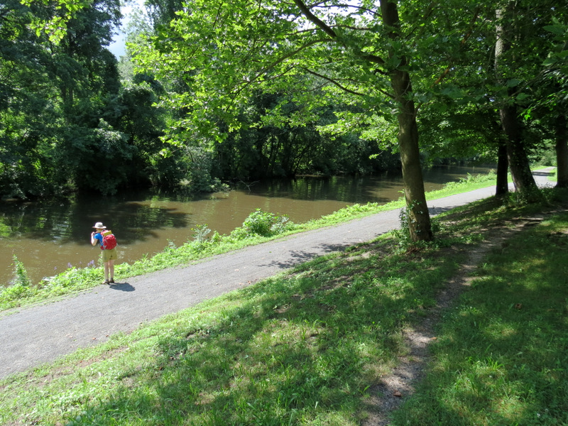
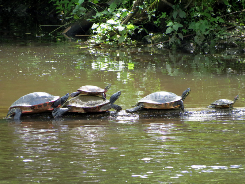
This section, though mostly bereft of interesting historical canal buildings (though there is one) and locks, is perhaps the most tranquil of all of the segments, without any parallel roads for nearly its entire length (only at Quaker Bridge Road is there noise). The turtles were out in force today! And though I had no idea it would be, today's July 4th walk actually had historical interest! Along the way we passed an obelisk marking Washington's march from Trenton to Princeton in 1777, during the Revolutionary War and (as already mentioned) there was the Brearsley House dating back from colonial times (1761). With today's segment we have walked nearly 30 contiguous miles (twice) of the still remaining main canal from Landing Lane in New Brunswick to near Route 1. An examination of Bing Maps reveals that the last four miles of the main canal mostly parallels Route 1 after crossing under the NJ Turnpike and other super highways, before unceremoniously ending near a Salvation Army building on Mulberry Street in Trenton. Because of this, I'm not sure I will return to do the rest. Total distance covered was just shy of 9 miles in just under 3.5 hours.
|
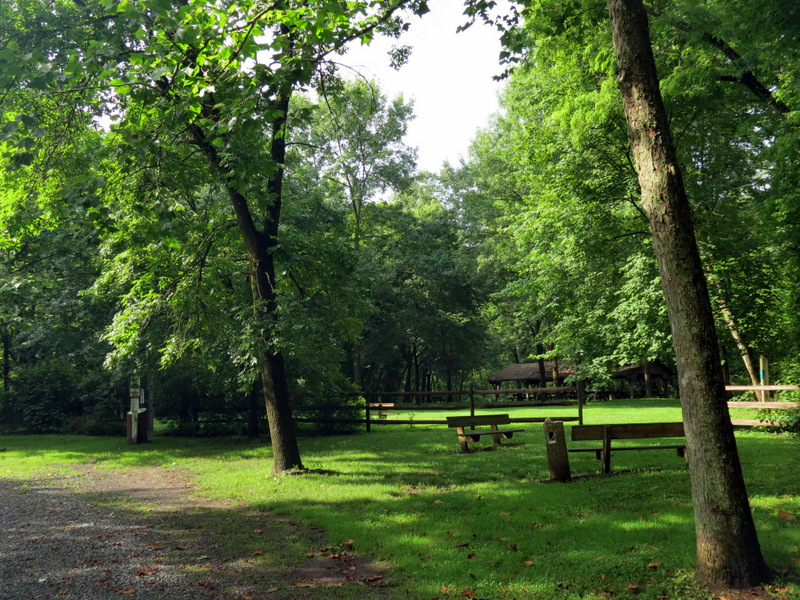 Parked at Turning Basin Park |
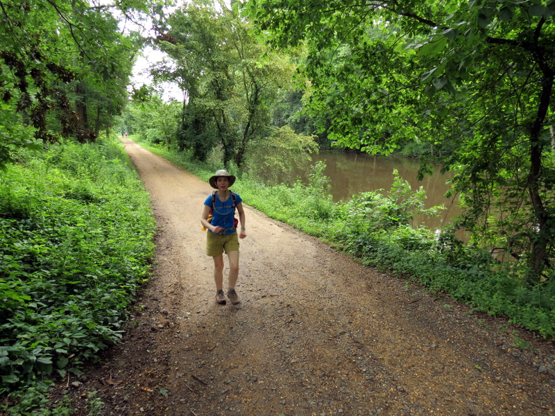
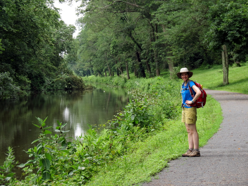
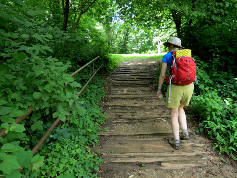
 At the start |
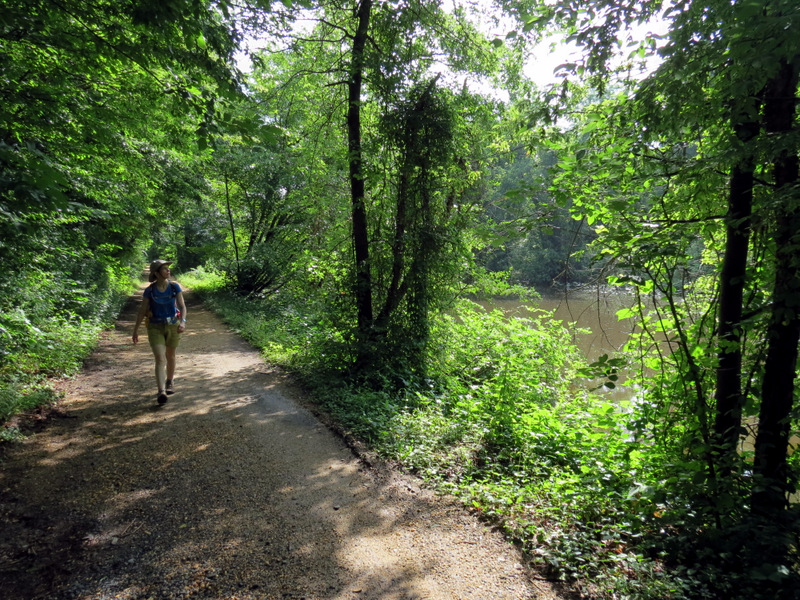
 Heading south |
 [Photo by Laura] |
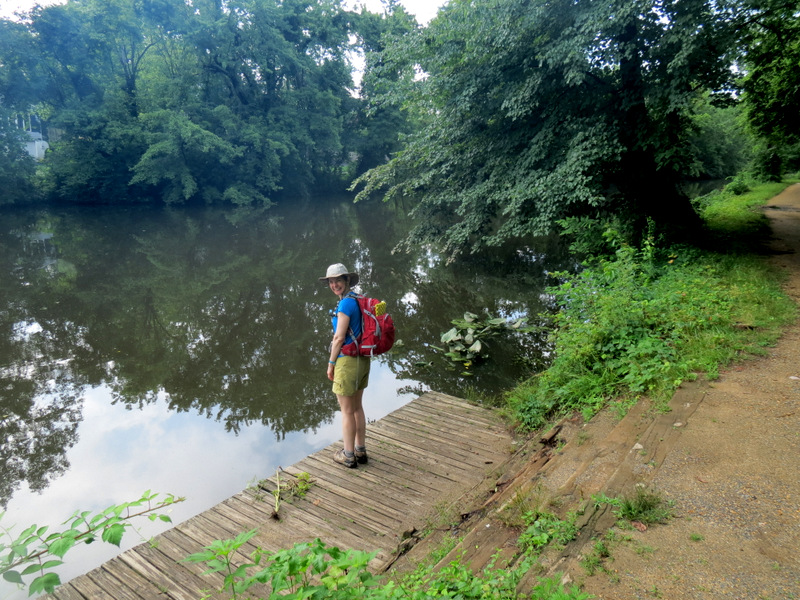 Boat launch at Turning Basin |
 |
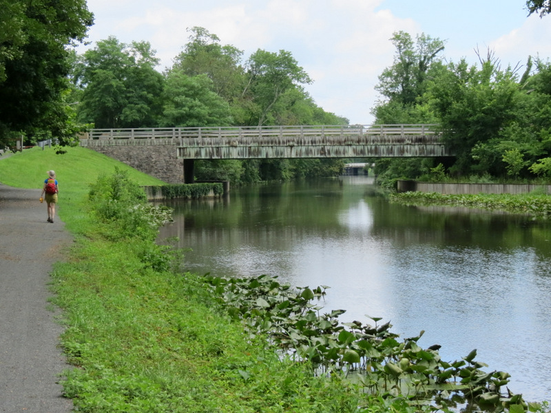
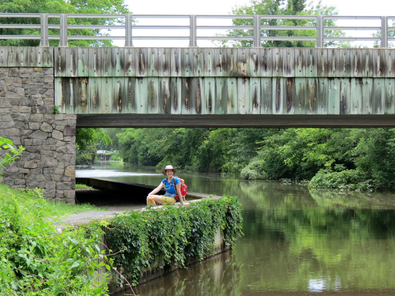
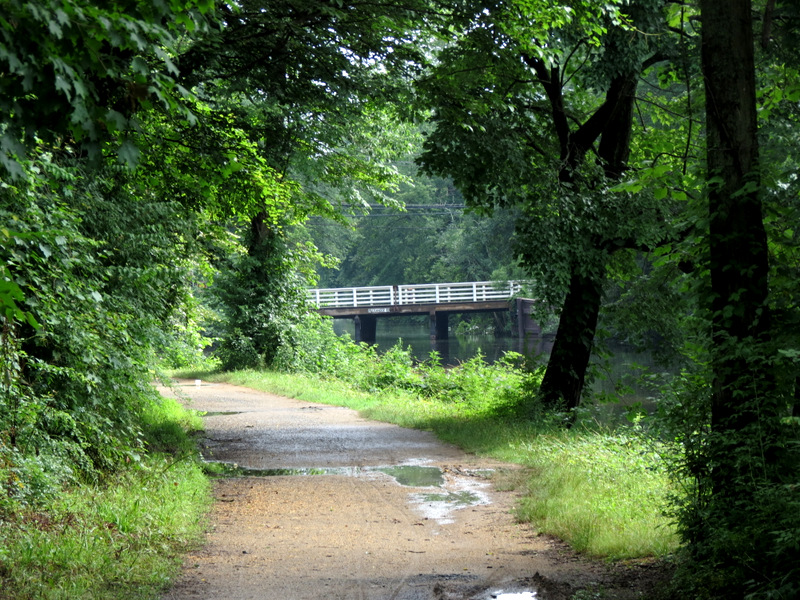 Alexander Road bridge |
 |
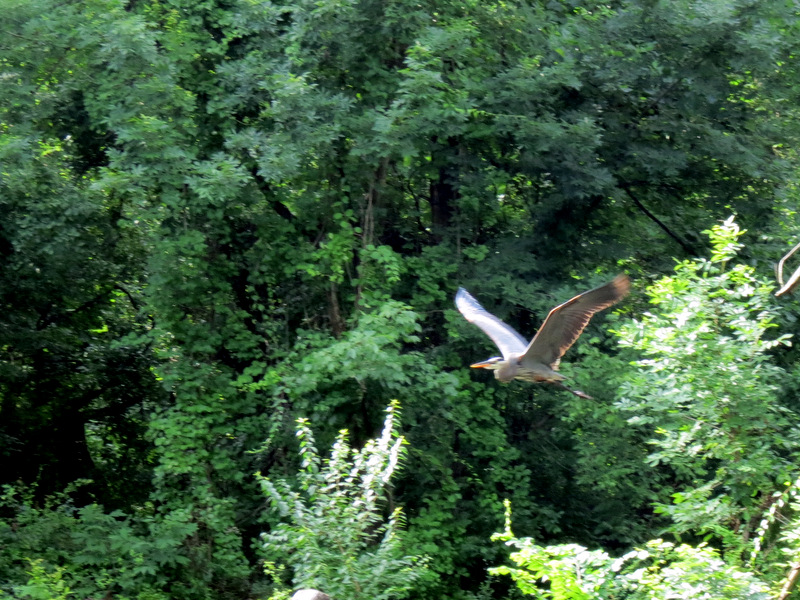 Egret in flight |
 Preening bird |
 |
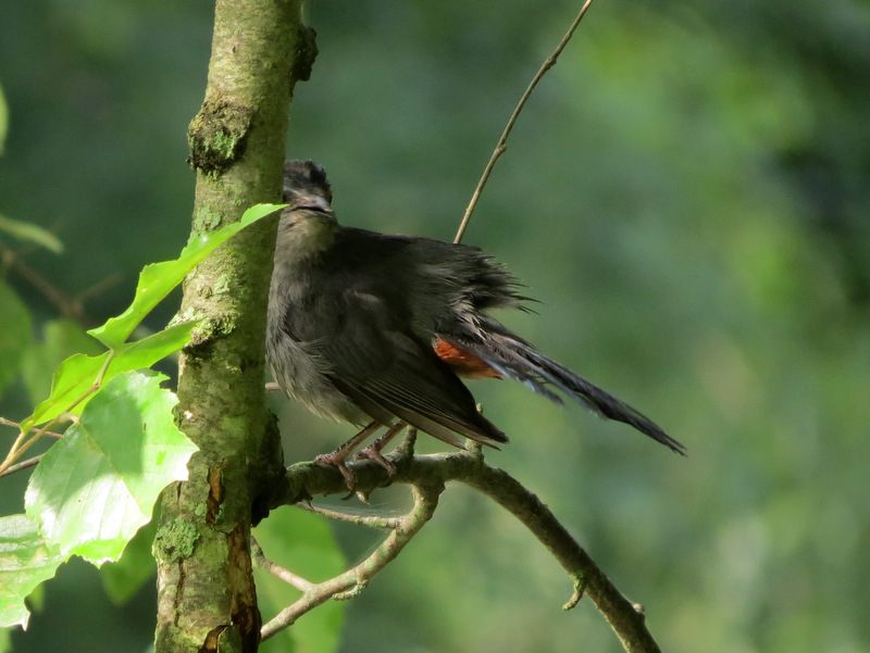
 Robin red-breast |
 |
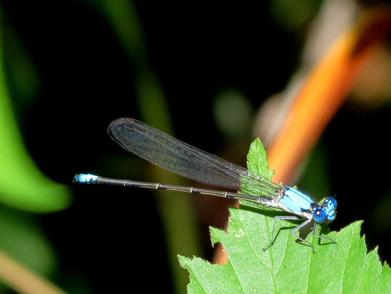 Damselfly |
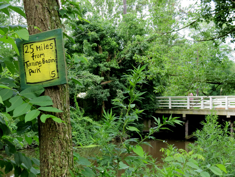
 15 Miles to Bordentown |
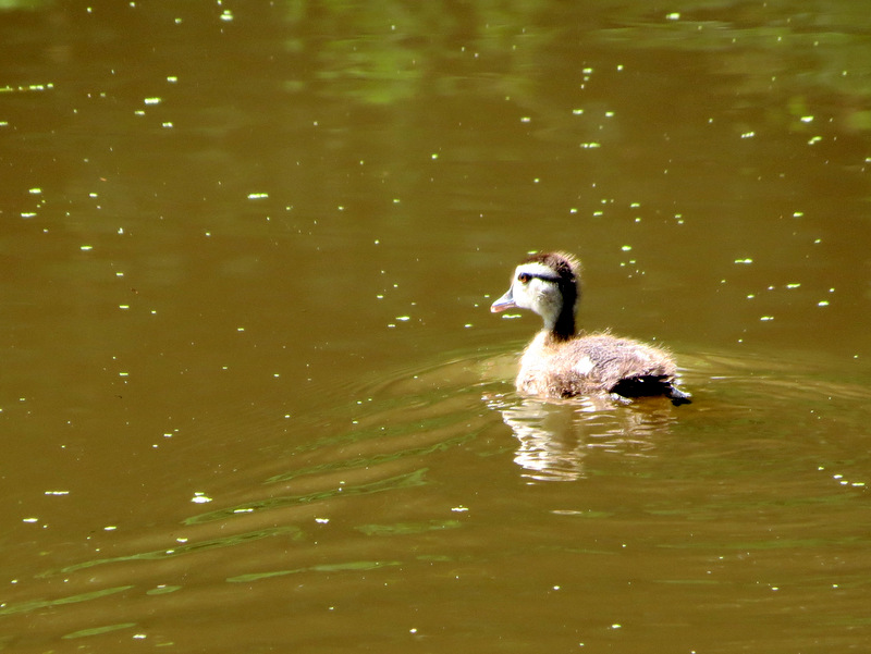 Young duck |
 |
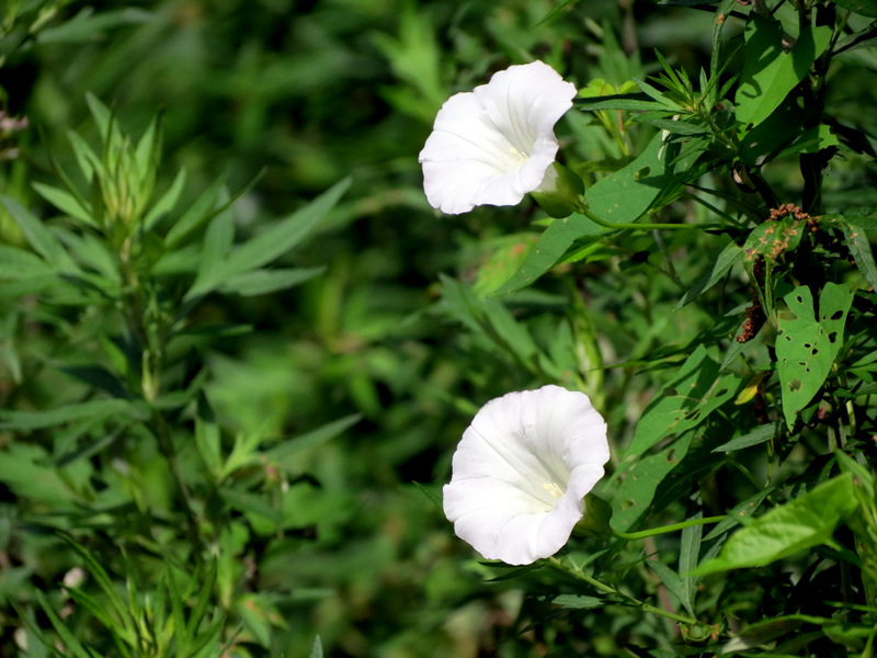 Towpath flowers |
 |
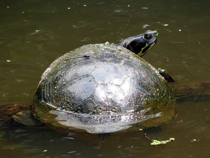
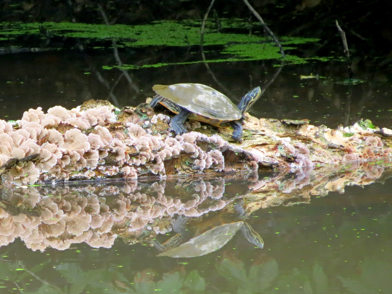 Turtle on lichen-covered log |
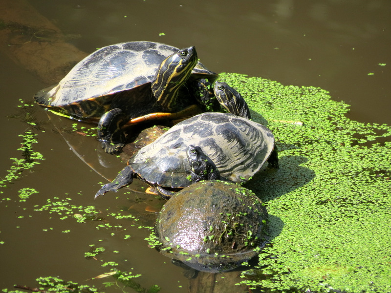 Three's a crowd! |
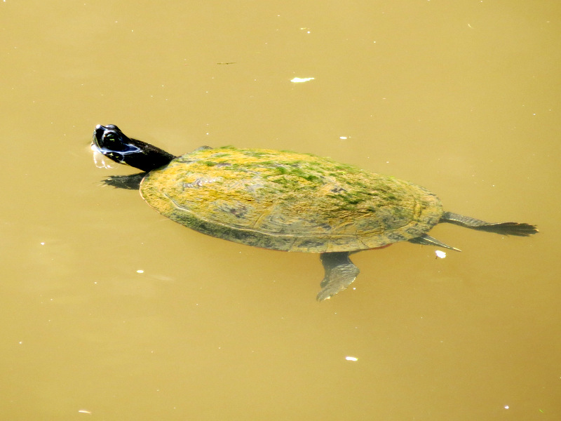 One swimming away |
 |
 |
 |
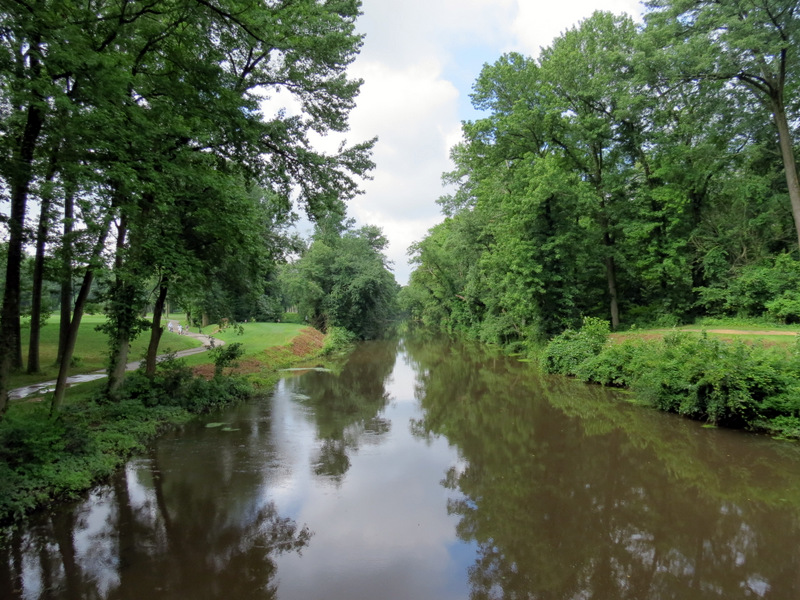
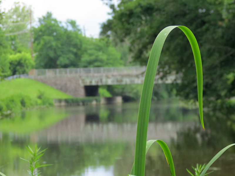
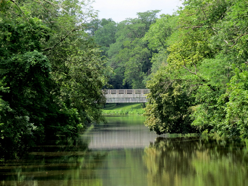
 Golf course bridge |
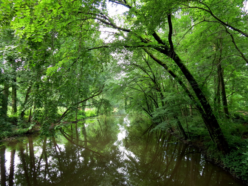 View south ... |
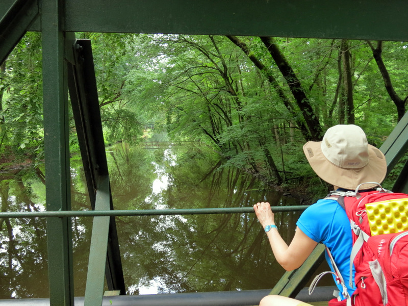 ... from bridge |
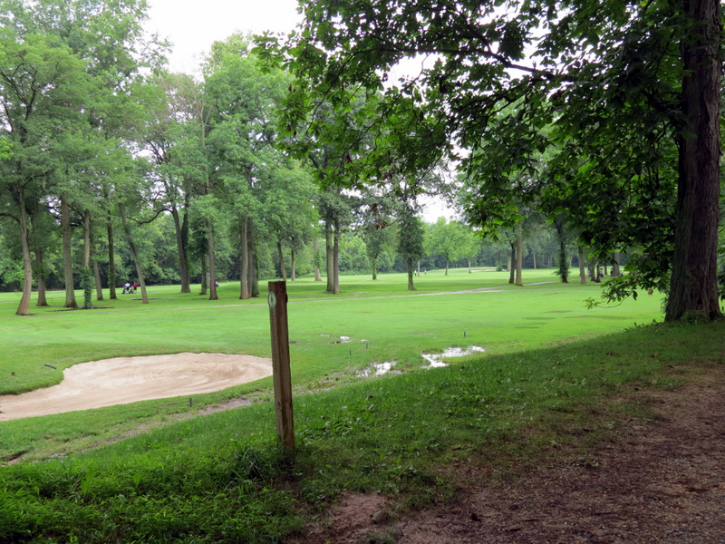 Princeton Country Club |
 Club across canal |
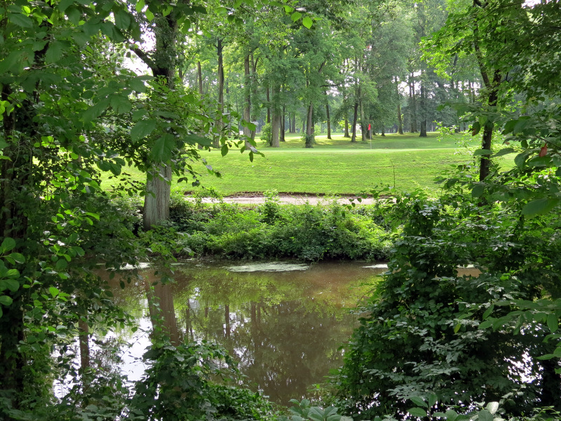
 View south from ... |
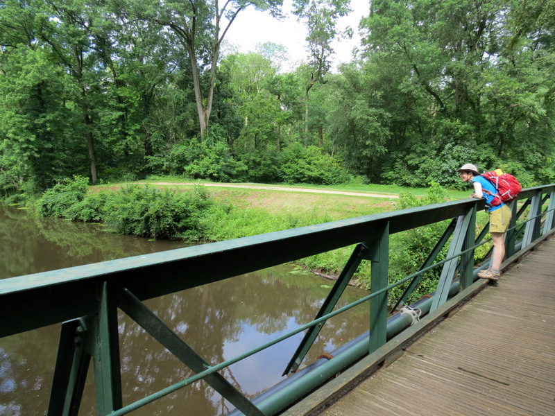 ... another golf course bridge |
 |
 |
 Dragonfly |
 |
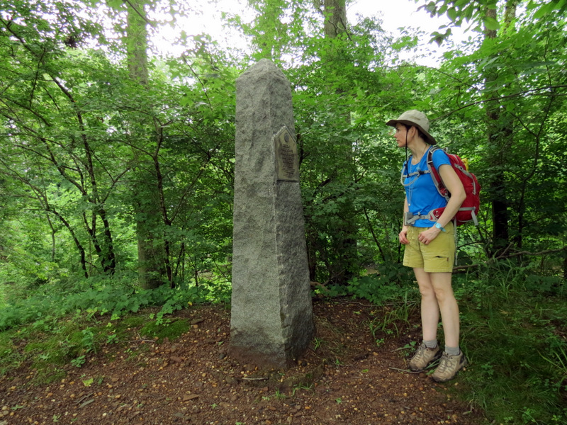 Obelisk marking ... |
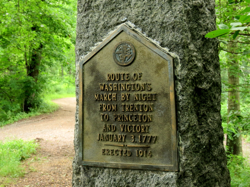 ... Washington's March (1777) |
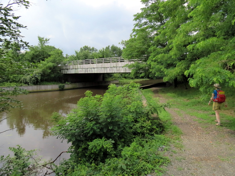
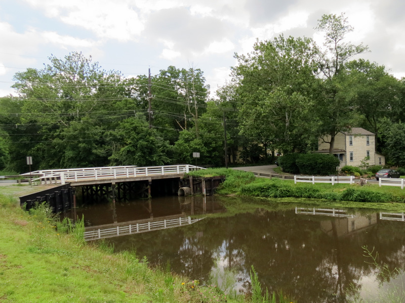
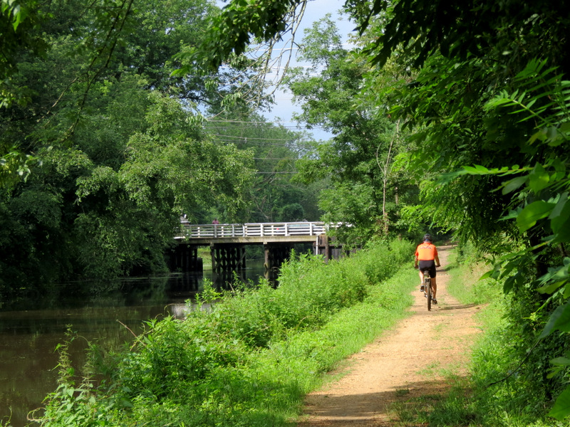 Bridge at ... |
 ... Quaker Bridge Road |
 Crossing ... |
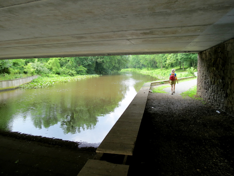 ... under ... |
 ... Province Line Road |
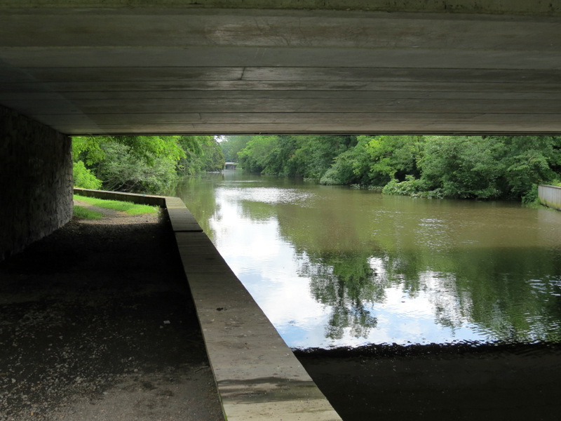
 View south |
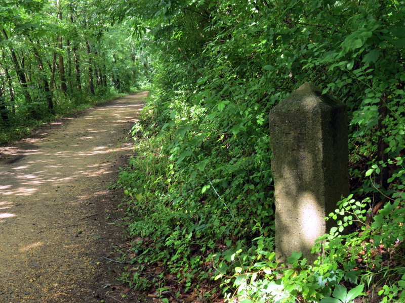
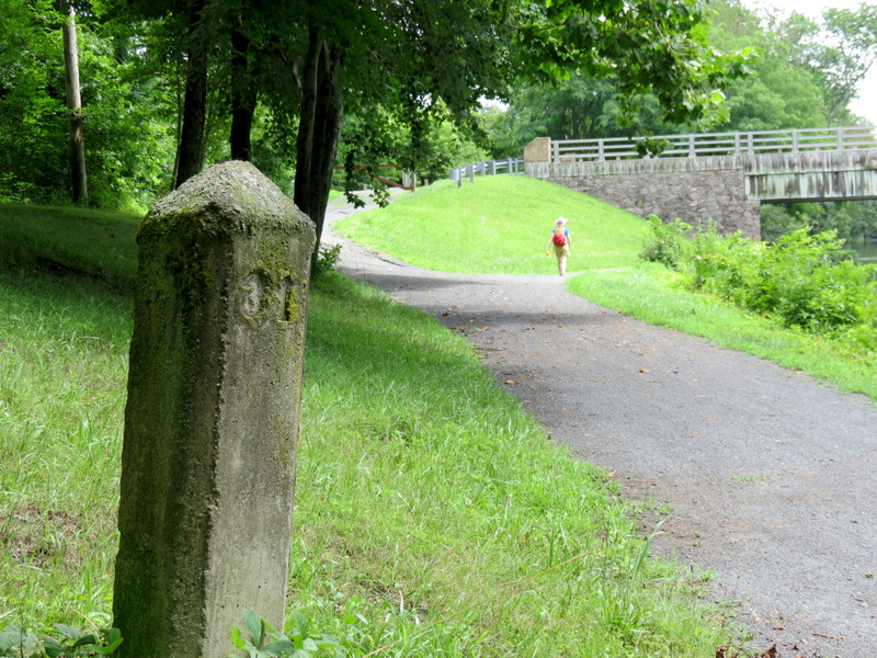
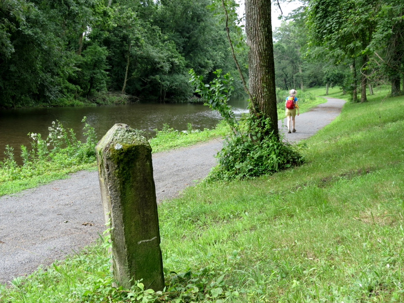 Another mile marker |
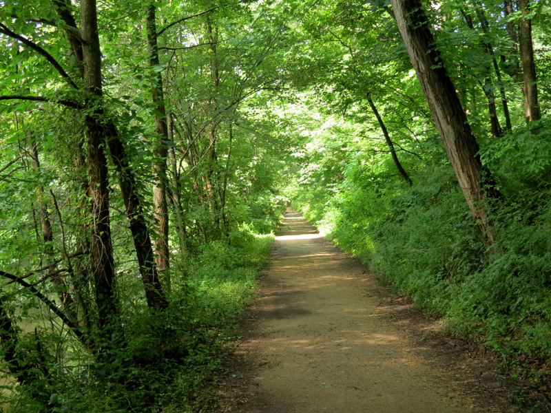
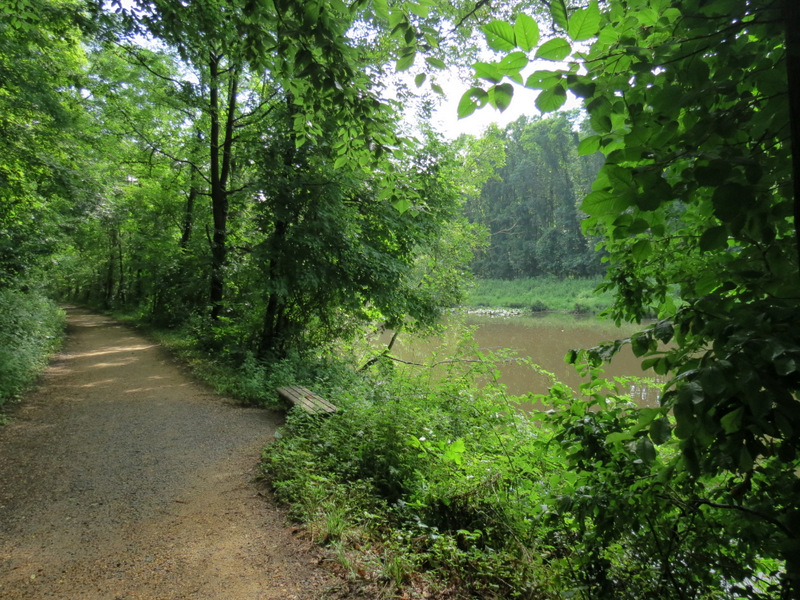
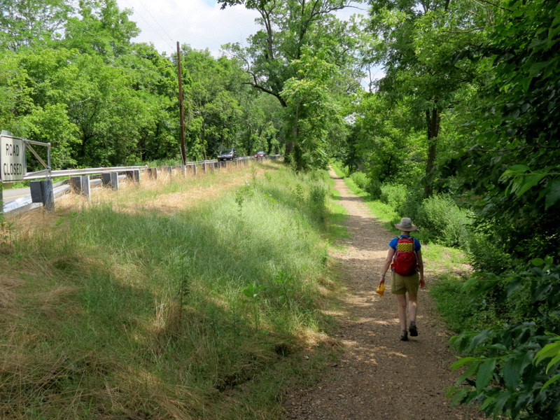
 Tranquil path here ... |
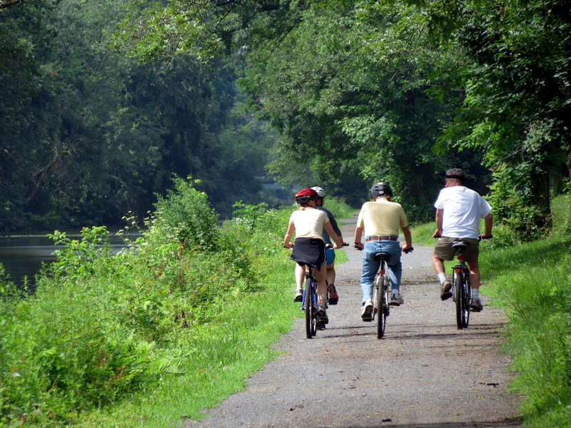 ... even with bicycles |
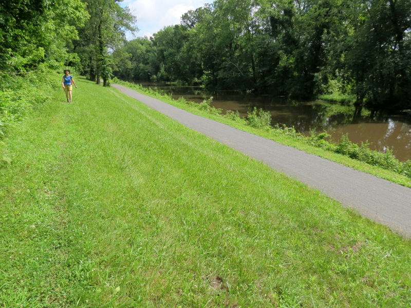 Path along the hill |
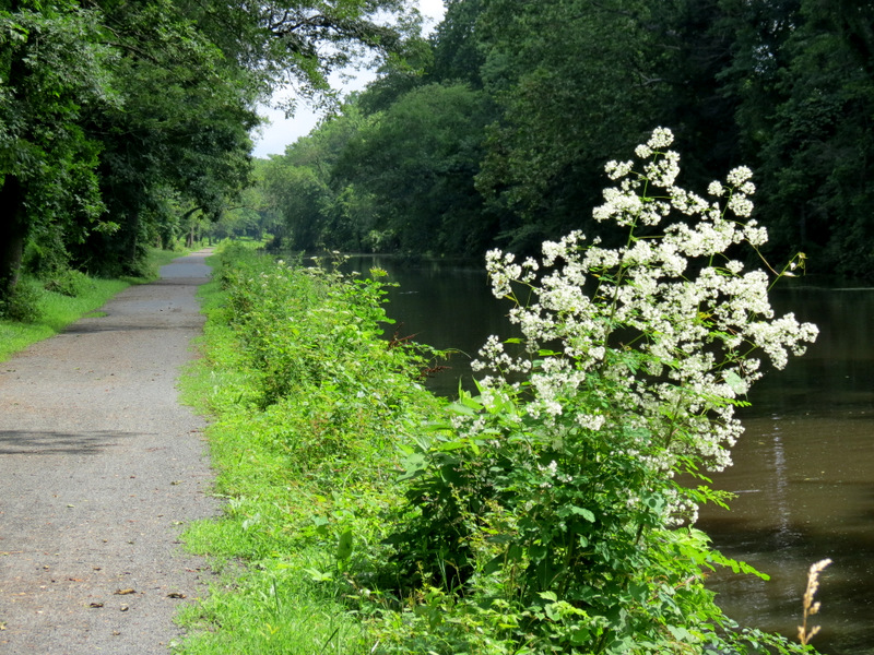 Canal wildflowers |
 View from above |
 Brearley-Great Meadow Trail |
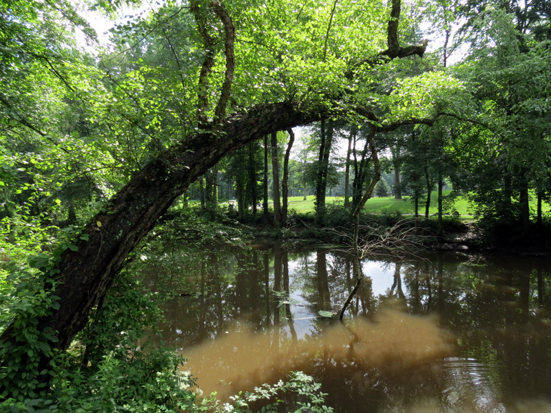
 Swamp observation deck |
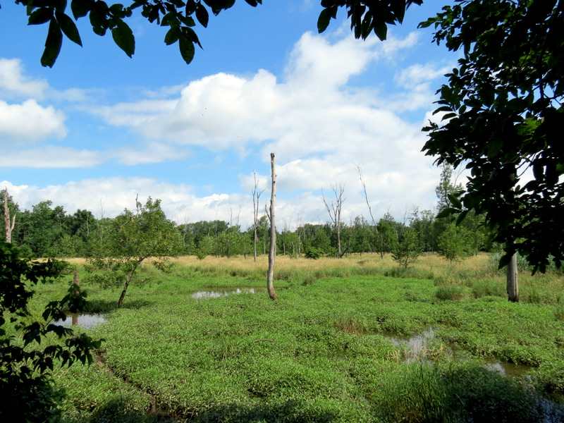 View from deck |
 Brearley trail |
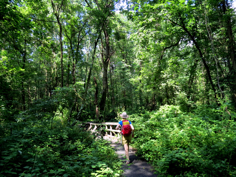 Bridge |
 Brearley House |
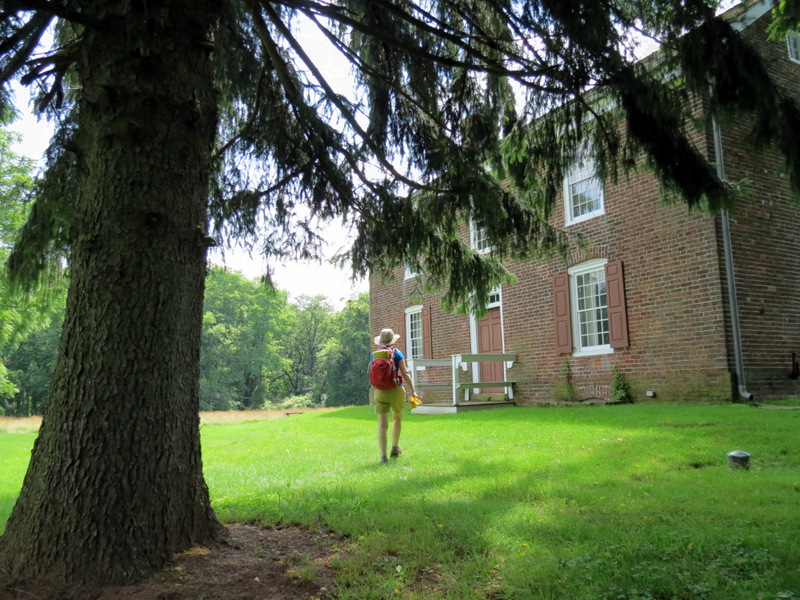 Front of Brearley house |
 Continuing west |
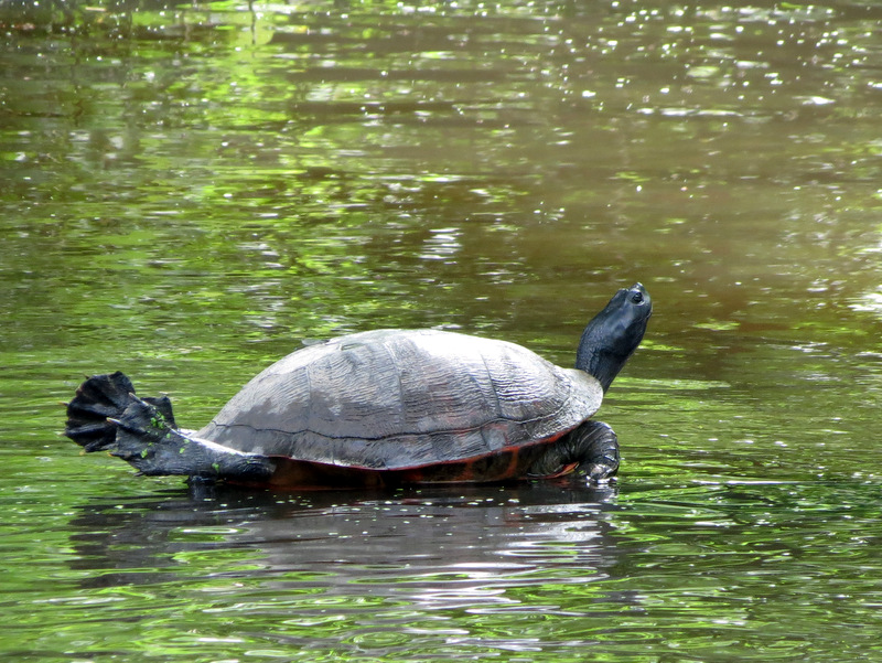 Turtle stretching & sunning in canal |
 Baby riding piggy-back |
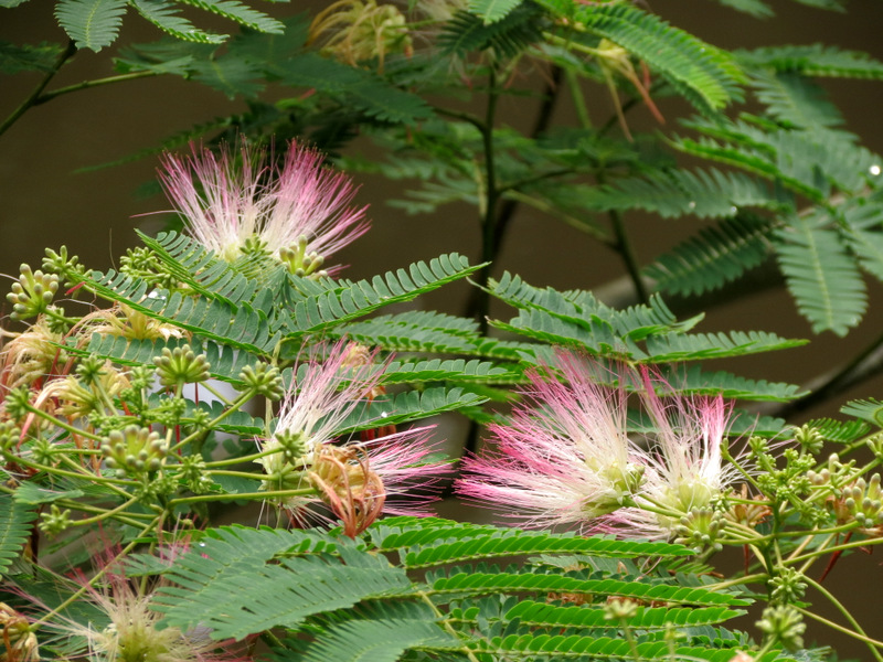
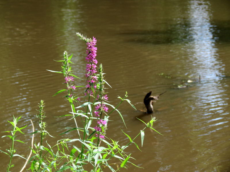 Wildflowers |
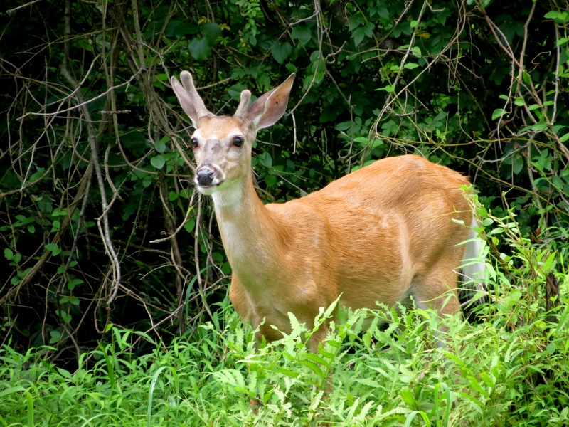 Young deer across |
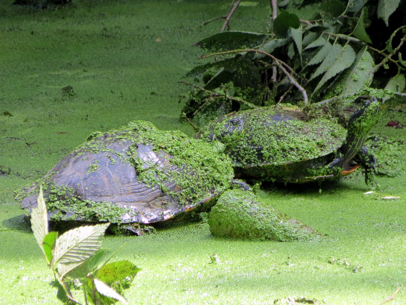 Turtles camouflaged |
 Green on his nose |
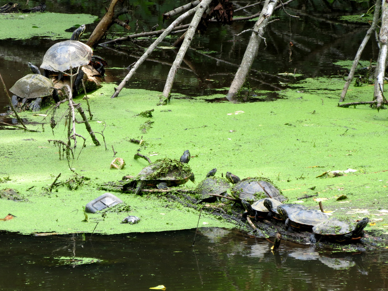
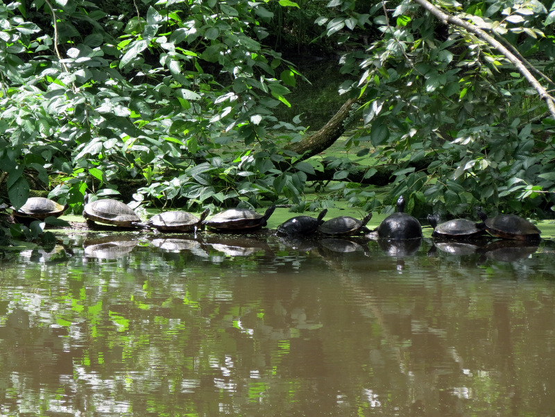 Nine turtles on one log! |
 Bridge at Province Line Road |
 Heading north |
 Two bridges in view |
 31 miles to New Brunswick |
 Under Province Line Road |
 Quaker Bridge Road & Canal house |
 View north from Quaker Bridge |
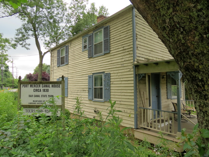 Canal House from 1830 |
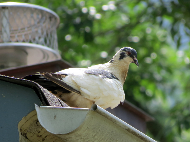 Pigeon on roof |
 View north to Province Line Road |
 Path parallels Quaker Bridge Road |
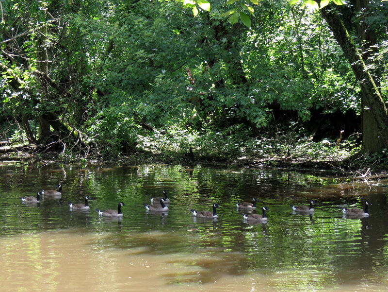 Gaggle of Canada Geese |
 Picking raspberries |
 More crowding |
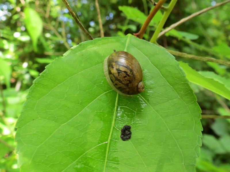 Snail on leaf |
 Raspberries |
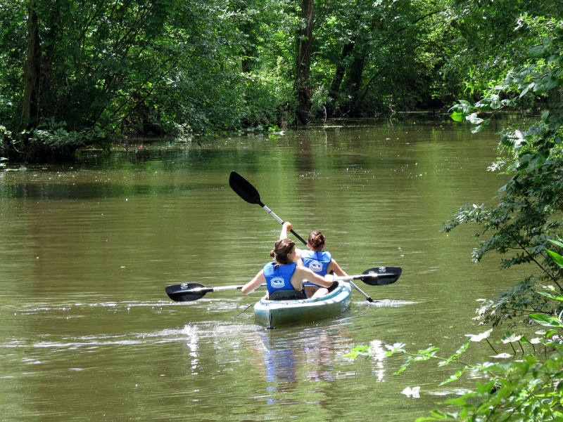 Kayakers |
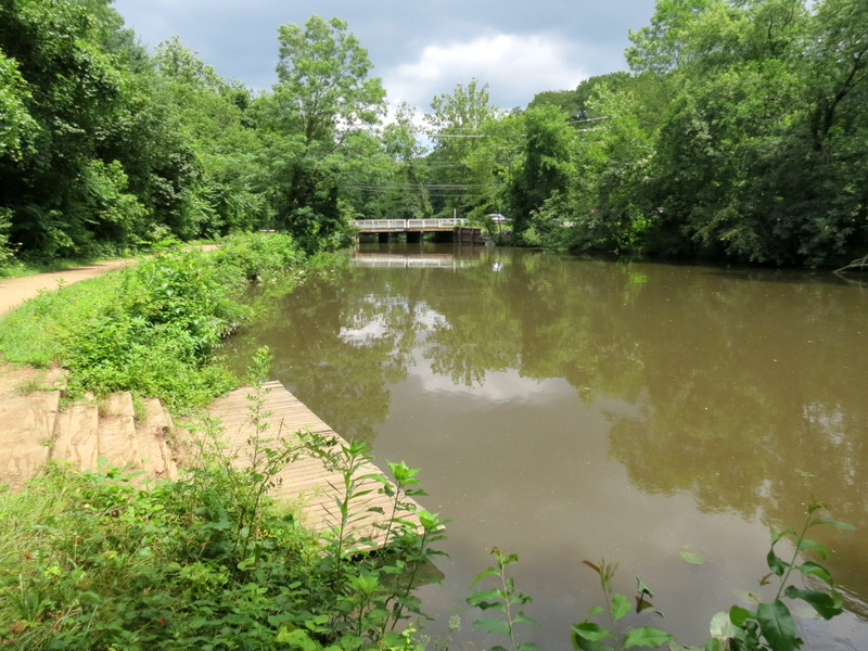 Boat Launch at Turning Basin |
 Ramp back to Turning Basin park |

|
|
Photographs and content copyright © Dan Balogh Web design by Dan Balogh |