 |
|
Last year, in warm, green, sunny July, we continued section-hiking the D&R main canal heading
south. On that day we added a stretch to bring the total to about 30 miles from Landing Lane in New Brunswick to near Route 1 outside Princeton. Today we returned
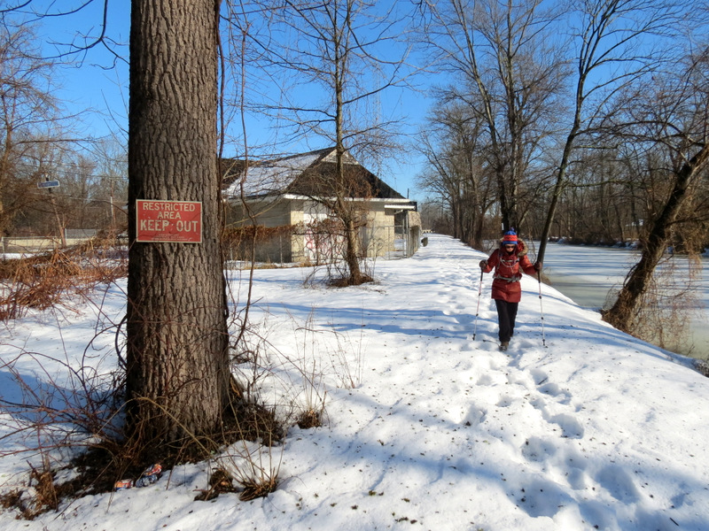
to attempt completion of the main canal, from Route 1 to Mulberry Street, on the condition that the path was plowed. Well, it wasn't plowed. The tiny parking area
(for four cars) wasn't even plowed. So the going was as slow as last week. When we reached Carnegie Road (1.1 miles south of Route 1) we decided to turn back. When
we got back to the parking area we decided to add the small section between Route 1 and the Brearley House trail (a part we hadn't done in July). That turned out
to be as long as the stretch between Route 1 and Carnegie Road, and just as slow-going!
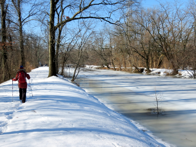
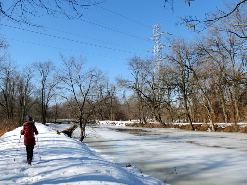
We noticed that south of Basin Road (the first street crossing south of Route 1), it seems possible to hike on both sides of the canal. There are gates on both sides but along every stretch one side is more accessible than the other. For instance, between Route 1 and Basin Road we were on the western side of the canal, but south of Basin street we were on the eastern side. When we reached Carnegie Road we decided to cross the canal and return along the western path, but within minutes encountered overgrowth (even though the entrance had a park gate with the D&R sign). So we headed back to Carnegie and retraced our steps all the way back. Total distance covered was 4.1 miles in deep, slushy snow in just over 2.5 hours.
|
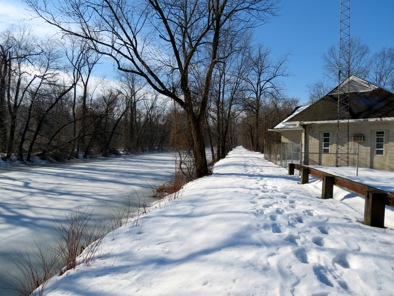
 Parking lot on Route 1 |
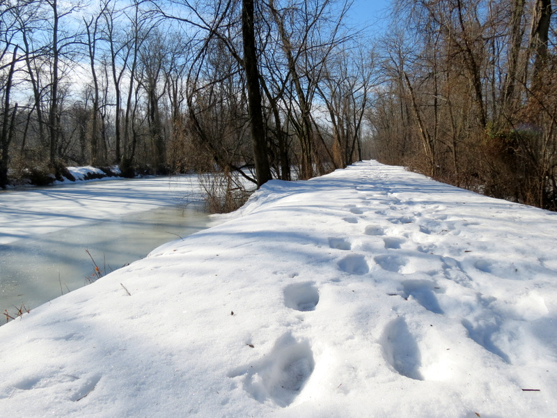
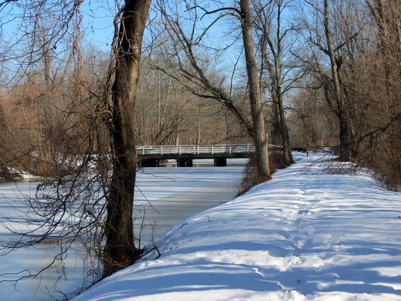
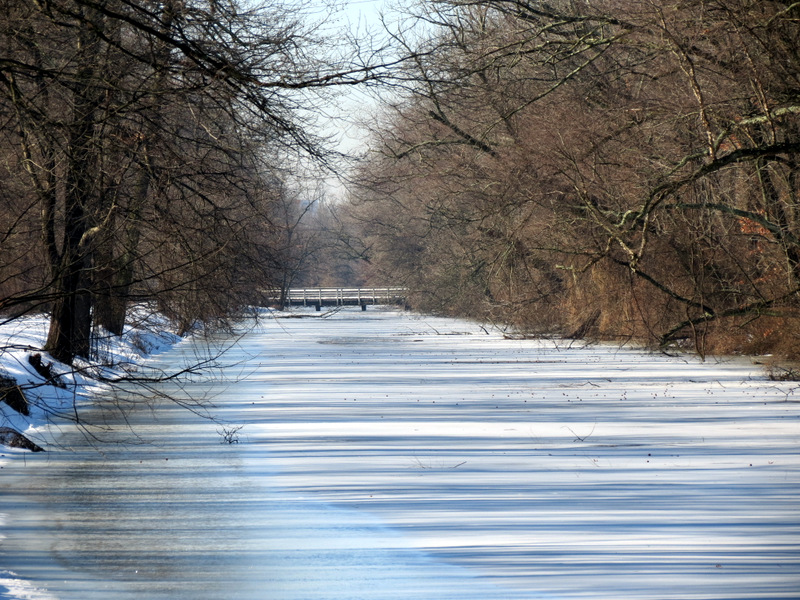
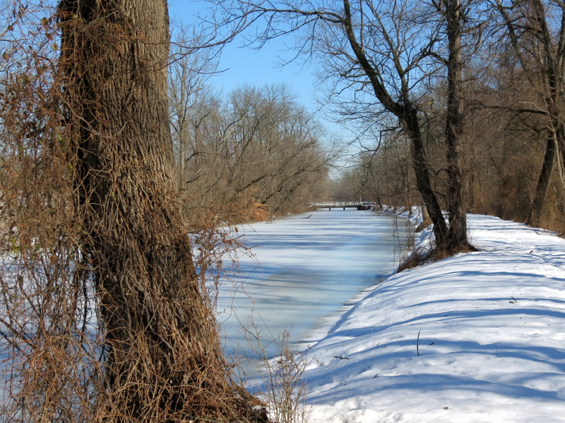
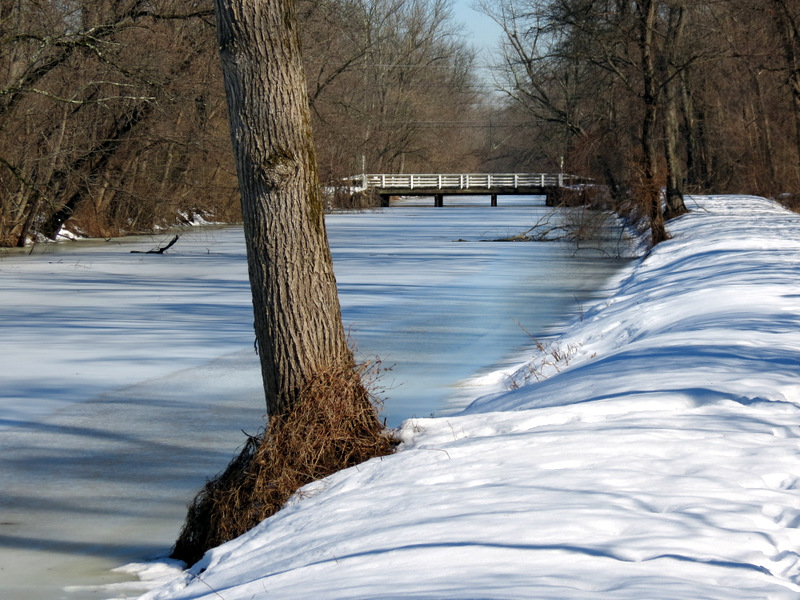
 Frozen canal ... |
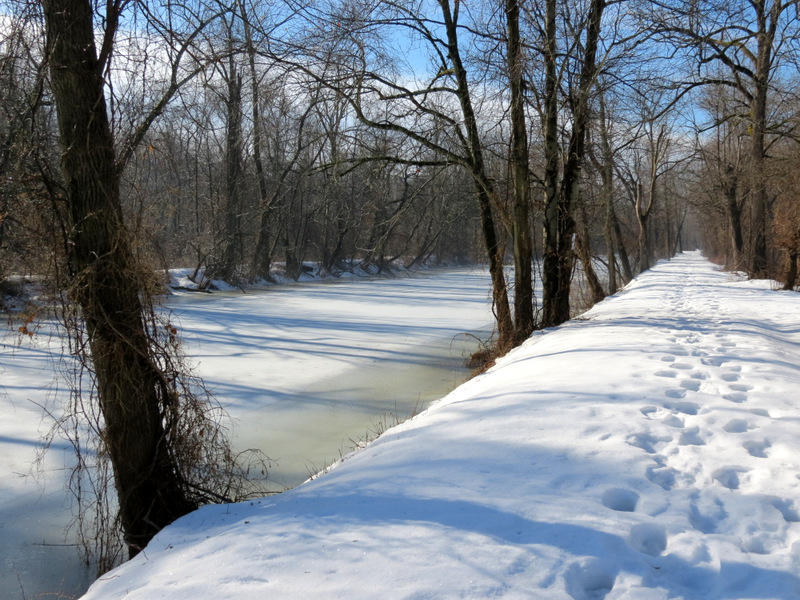 ... looking south |
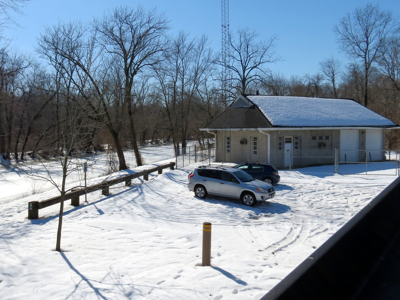
 Antenna building at car lot |
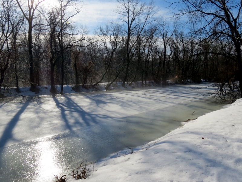 Partially frozen here |
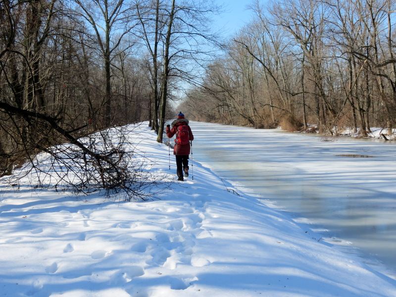
 Deep, semi-frozen snow |
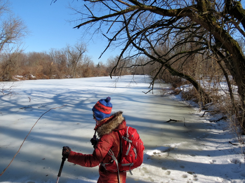
 Laura likes it! |
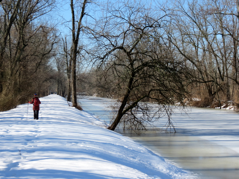
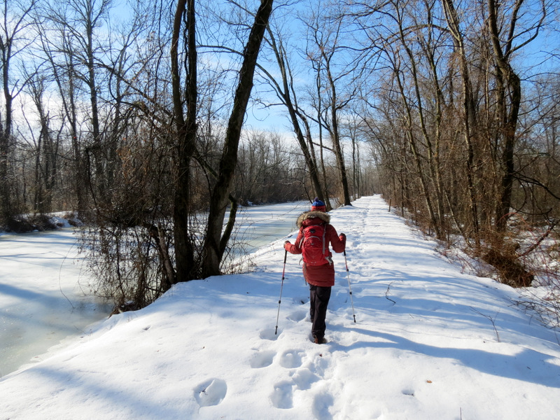 Heading south |
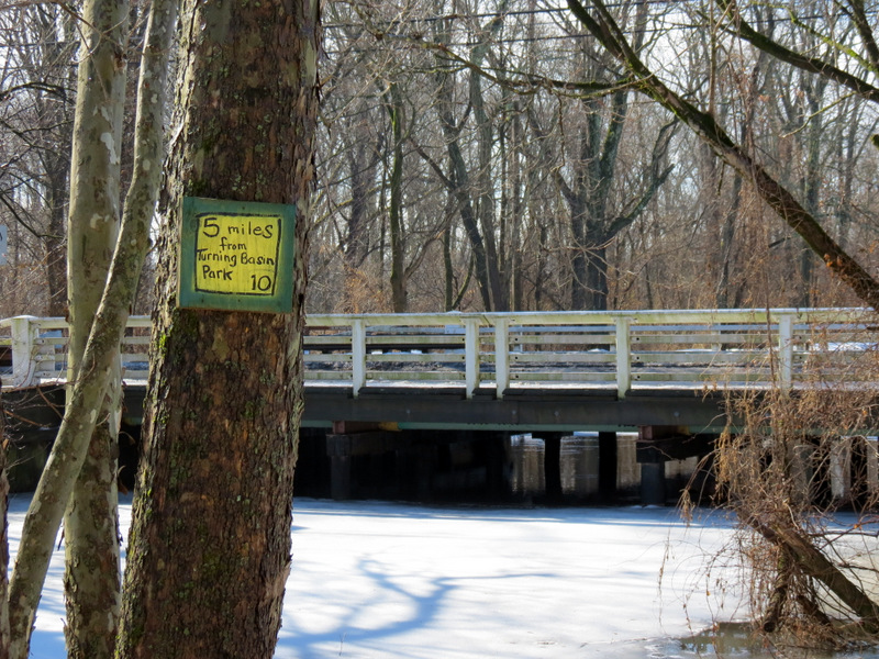
 5 miles to the very end |
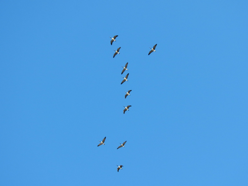 Canada geese overhead |
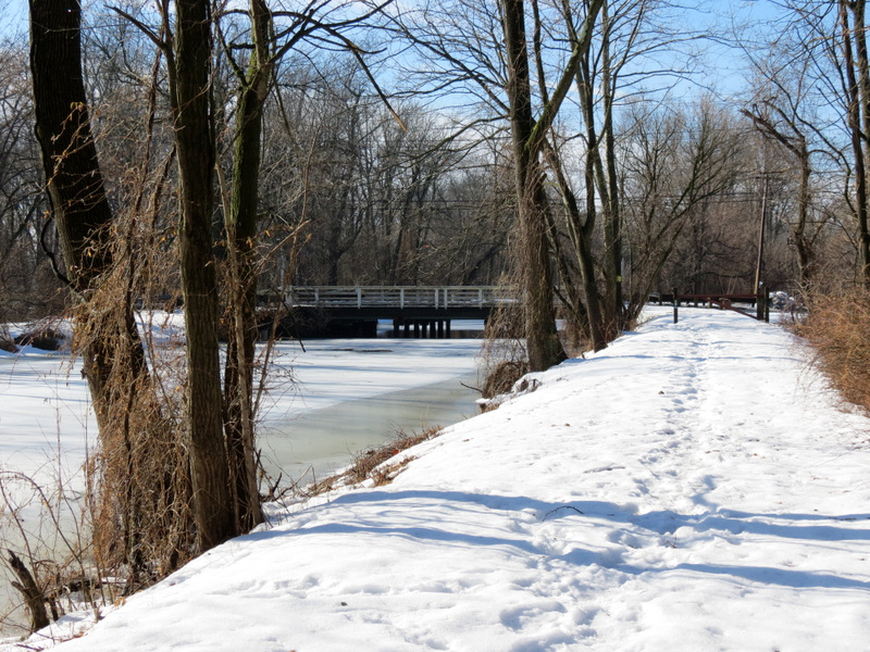 Basin Road bridge |
 Interior of hornet's nest |
 Basin Road bridge |
 View of frozen canal north |
 On Basin Road bridge |
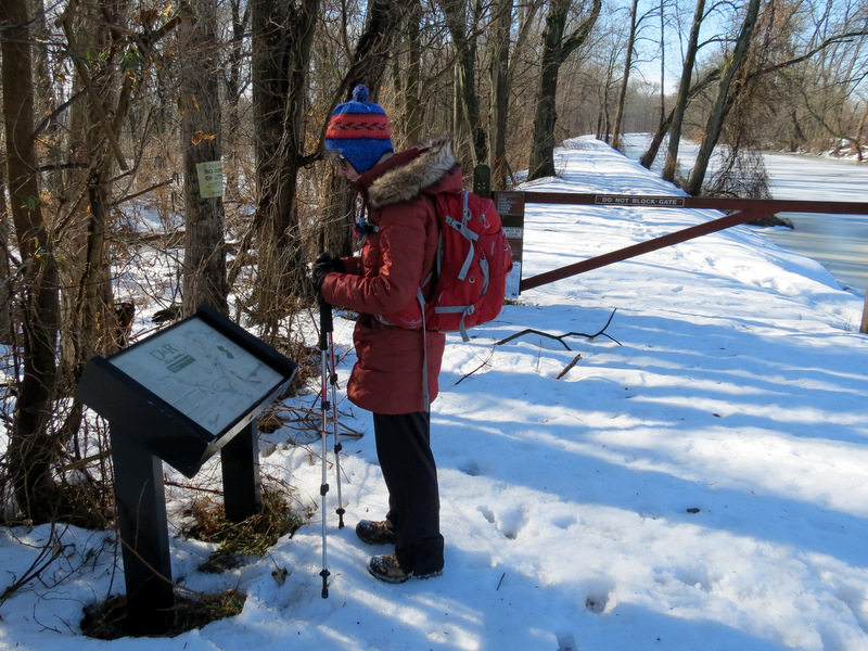 Info sign on eastern bank |
 View north of Basin Road |
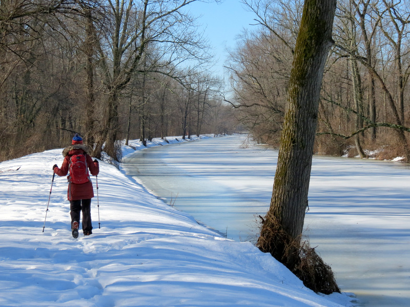 Continuing south |
 Zoom of Carnegie Road bridge |
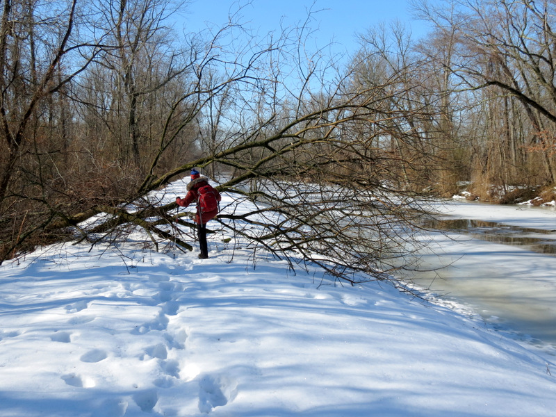
 Blow-down |
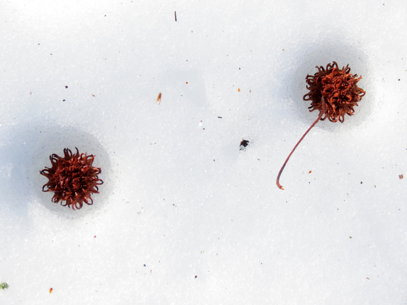
 Sweetgum balls on canal |
 Two on path |
 Big blow-down |
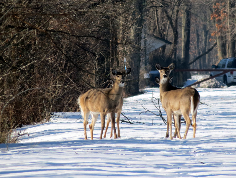 Four curious deer |
 |
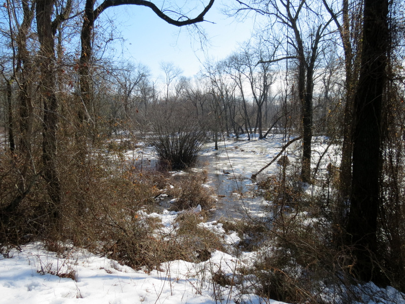 Swamp east |
 |
 Tiny tree in canal |
 Phragmites east |
 Approaching powerline cut |
 Powerline cut, view east |
 Powerline cut, view west |
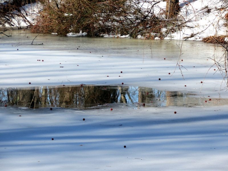
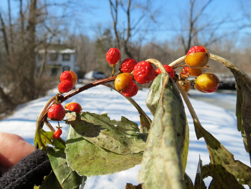 Berries |
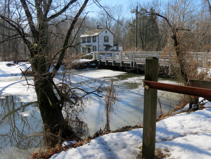
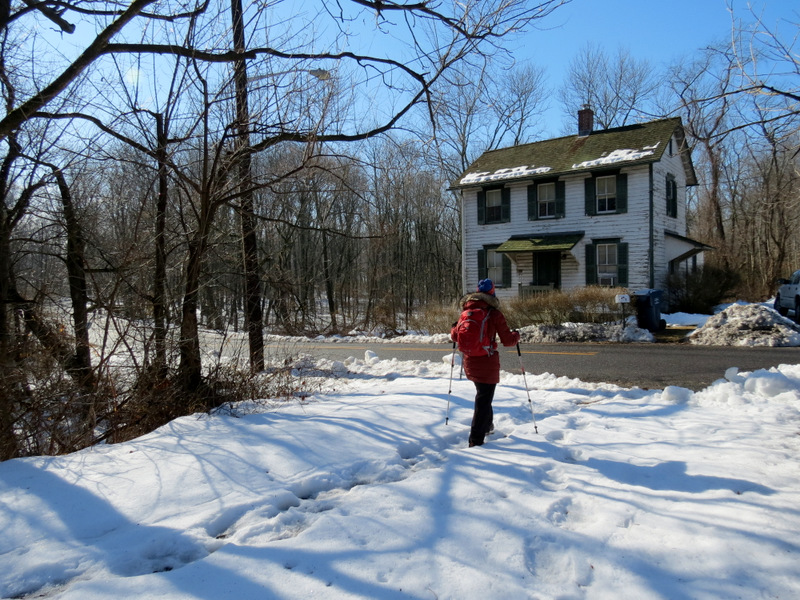 Canal house at Carnegie Road |
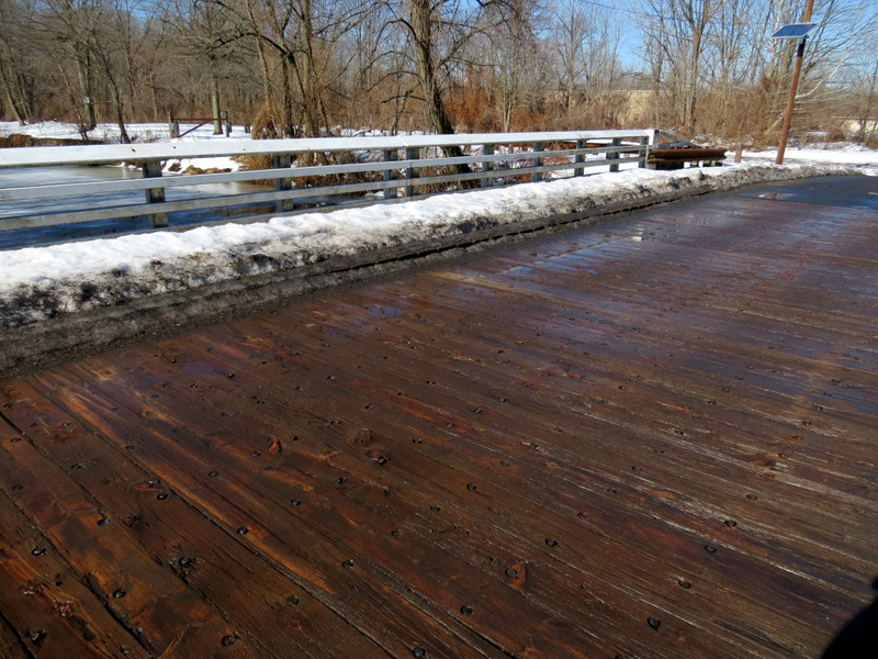 Surface of bridge |
 View of canal north |
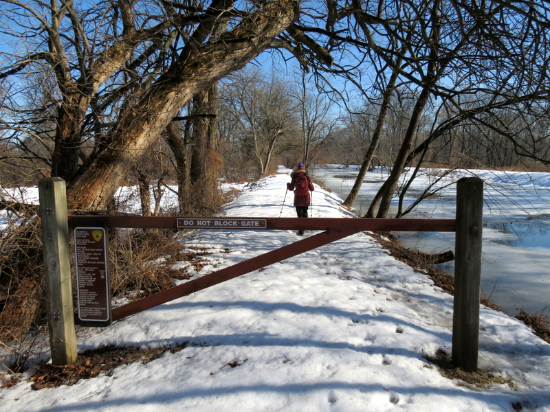 Gate on western bank heading north |
 View of canal house from western bank |
 Small reservoir of run-off water west |
 Towpath with water on both sides |
 Pipe for run-off west of canal |
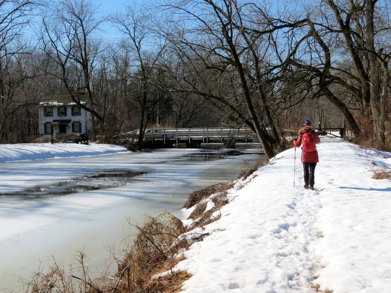 Heading back to Carnegie Road |
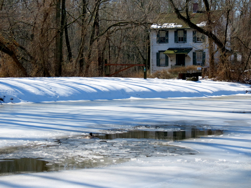 Broken ice in canal |
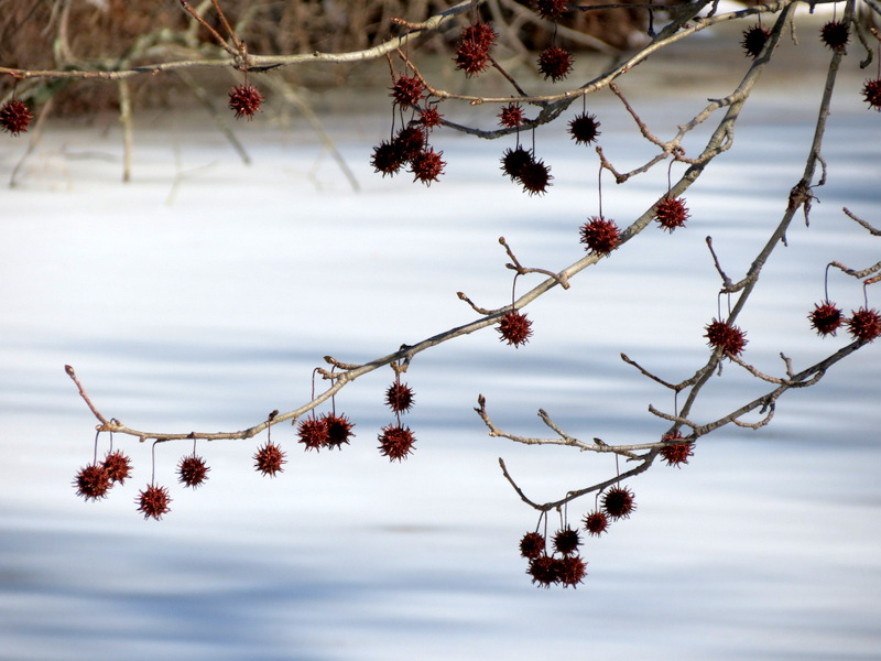 Sweetgum balls |
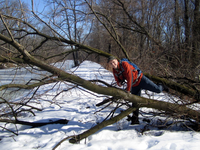 Blow-down hopping [photo by Laura] |
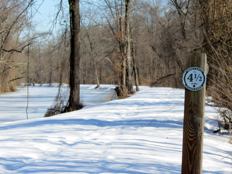 4.5 mile marker looking north |
 Views to ... |
 ... Basin Road bridge |
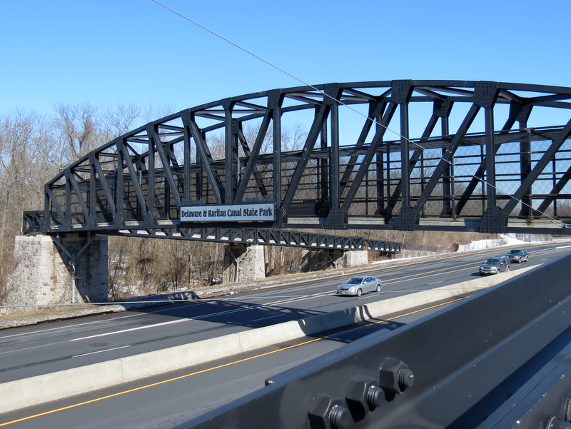
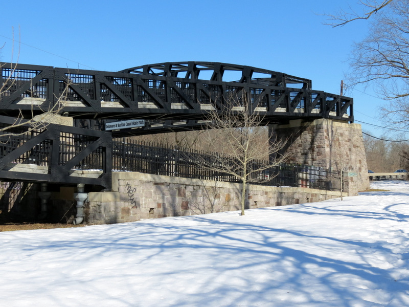 The D&R over Route 1 |
 Heading up |
 View of car lot |
 Path goes over Route 1 |
 View south |
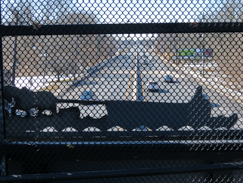 Horse and boat silhouette |
 Heading down on western side |
 Indeed? |
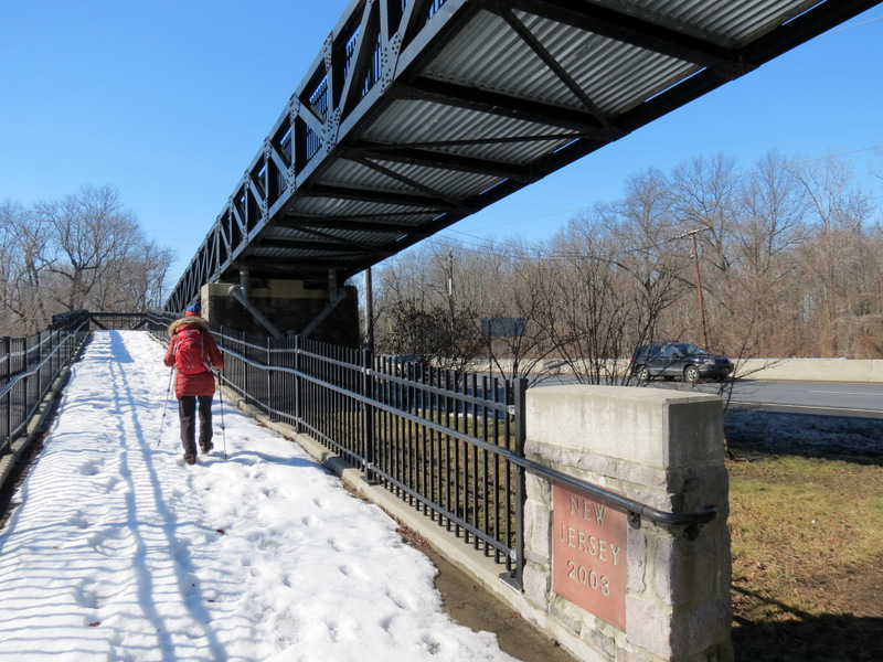
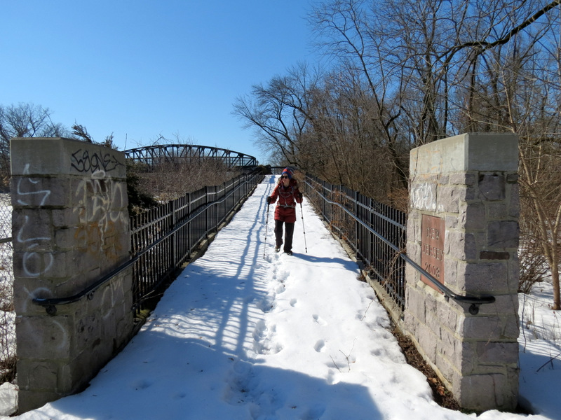 Built in 2003 |
 Canada geese |
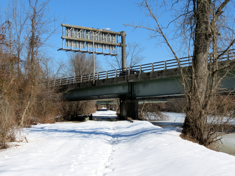 Under an entrance ramp for Rt. 1 south |
 Heading under I-95 |
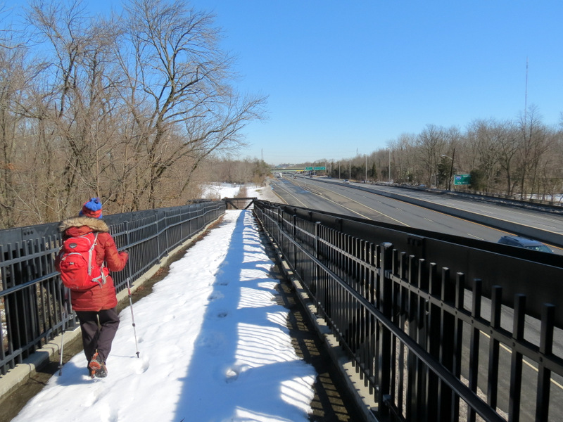
 View south to Laura |
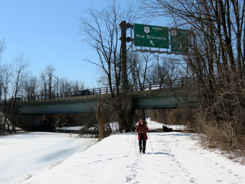 I-95 exit signs above |
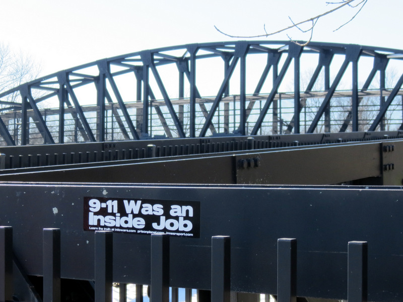
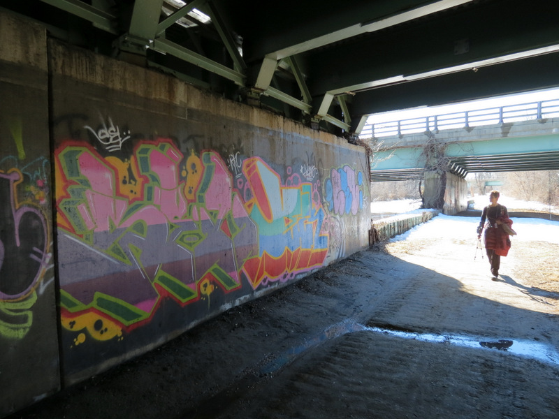 Graffiti art |
 Entrance ramp to I-95 west |
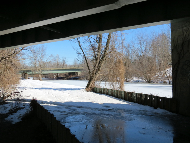
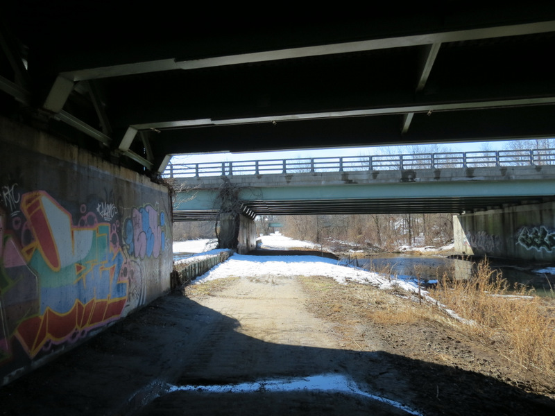 Lots of underpasses |
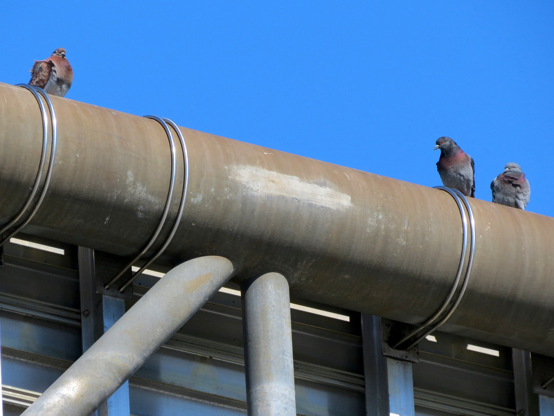 Pigeons sunbathing |
 D&R sing at Route 1 |
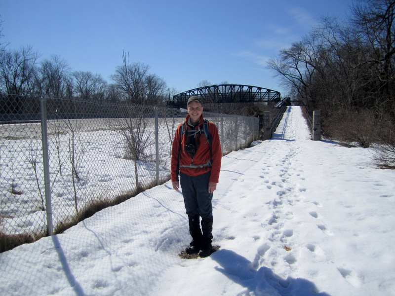 On dry ground! [photo by Laura] |

|
|
Photographs and content copyright © Dan Balogh Web design by Dan Balogh |