 |
|
This 'figure-8' is something I put together after exploring the remains of the Dunderberg Spiral Railway three weeks ago. It begins at the
eastern trail head of the historic 1777 trail (there is a dirt parking area on the east side of Route 9W just south of it). Take the 1777 trail
west, turning right on the orange spray-painted Jones Road, a road graded to bring supplies to the builders of the railway. Take this road north
to its intersection with the blue-blazed Timp-Torne (T-T) trail, making a left onto that trail where a nice climb begins. At its intersection with the
Ramapo-Dunderberg (R-D) trail turn right on that trail and then right on 1777, taking that back to the car. We added an additional small leg of the
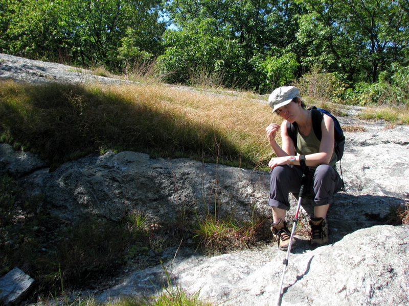
R-D in search for a viewpoint for lunch. While the latest NYNJTC map showed a star just east of its intersection with the 1777, it was hardly a
viewpoint, at least not compared to the several on the T-T earlier in the hike.
Total distance covered was 6.2 miles in about 3.5 hours. (Click on the thumbnail to bring up a bigger image in a pop-up window)
|
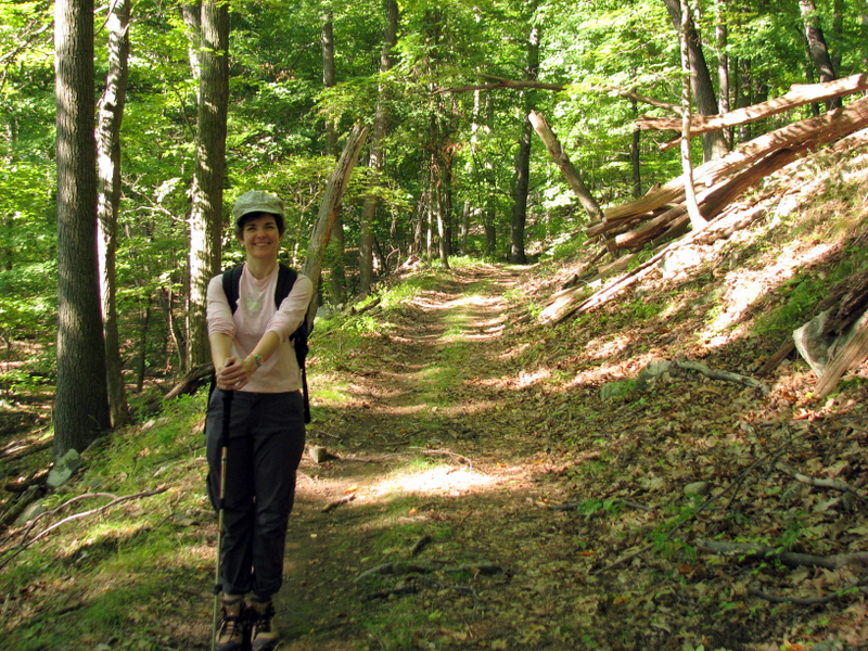
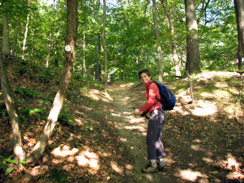 1777 trail head |
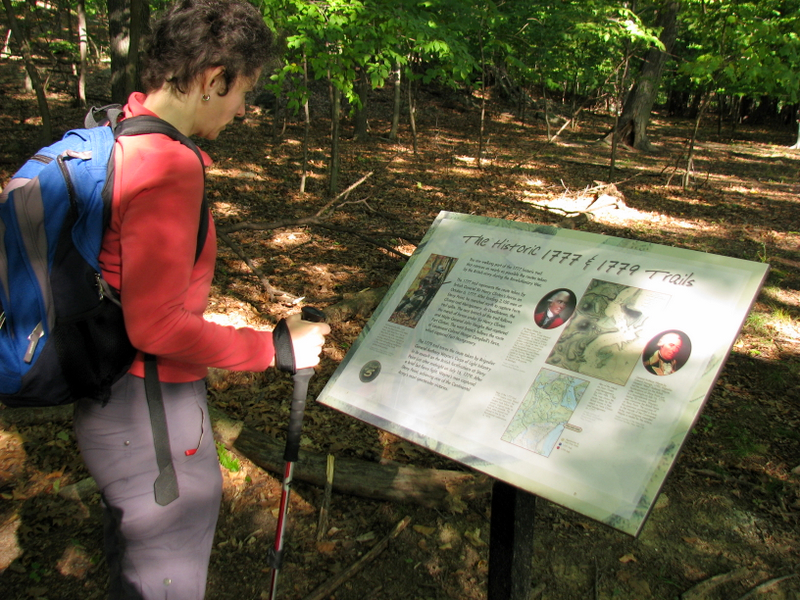 History! |
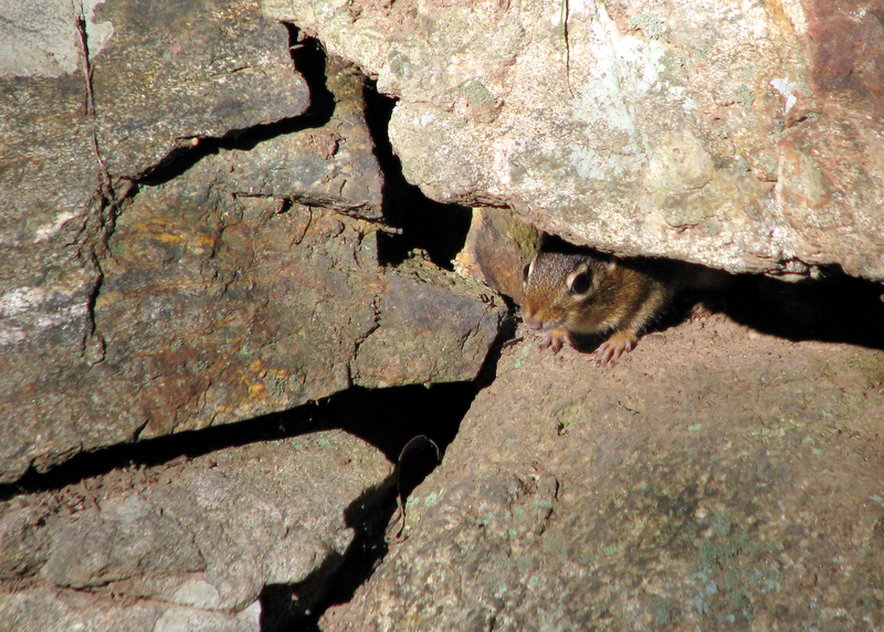 Peeking chipmunk |
 |
 Jones Road is still well worn |
 Jones Road looking south |
 |
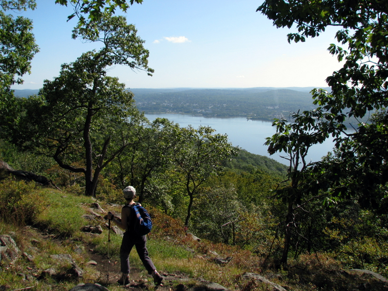
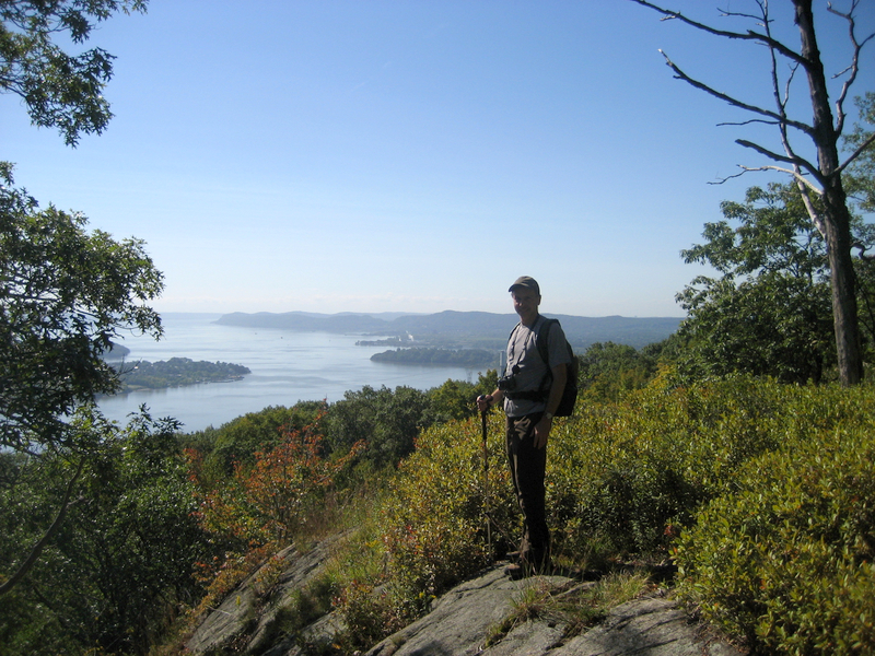
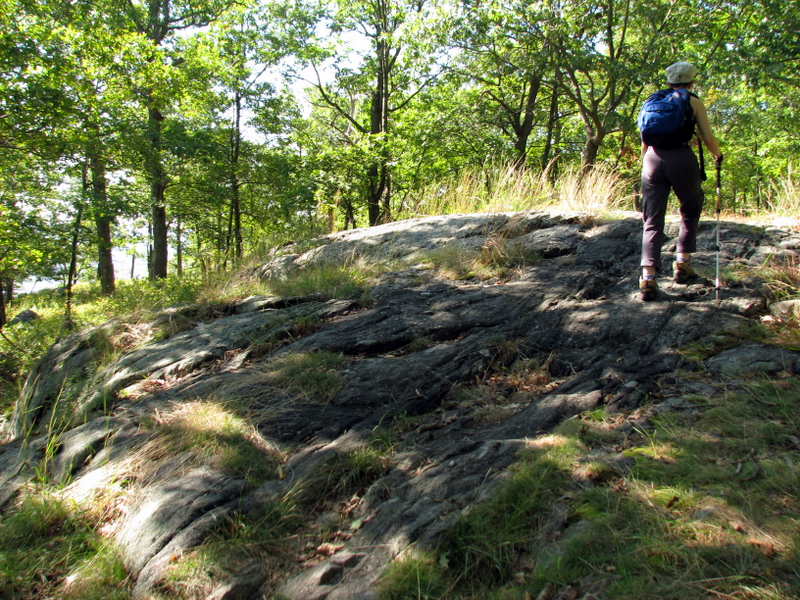
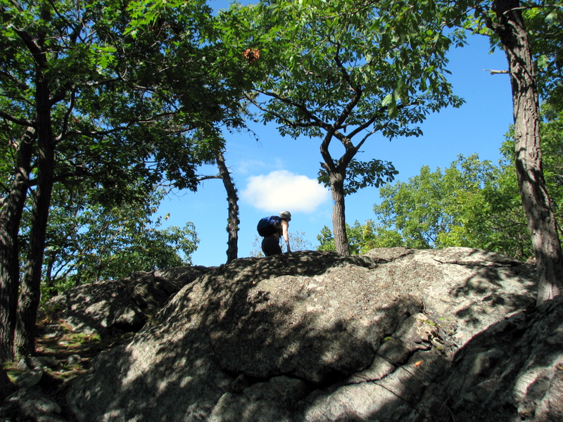
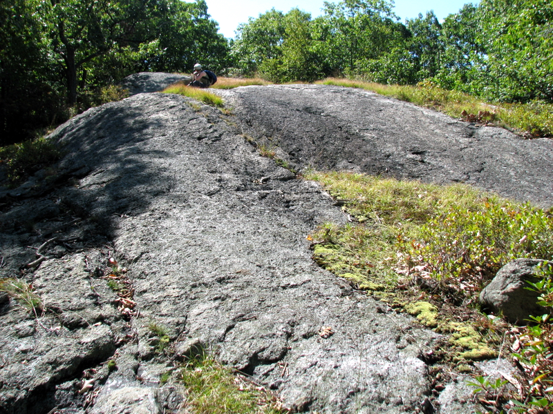
 On the Timp-Torne |
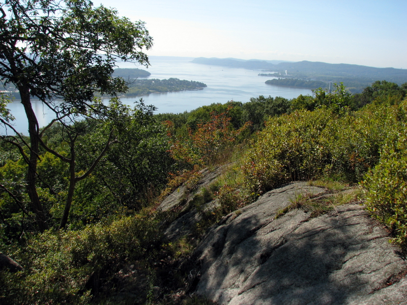
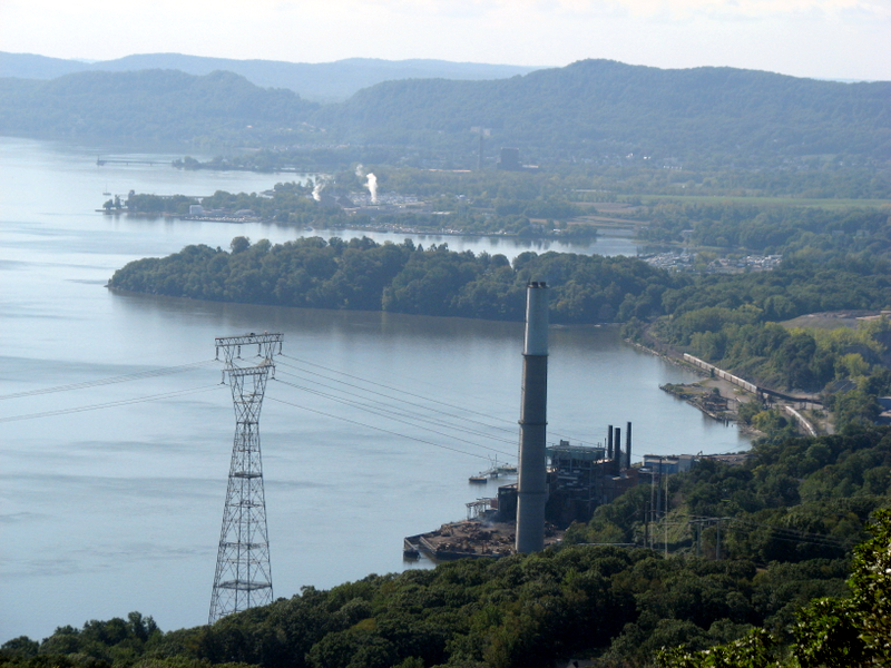
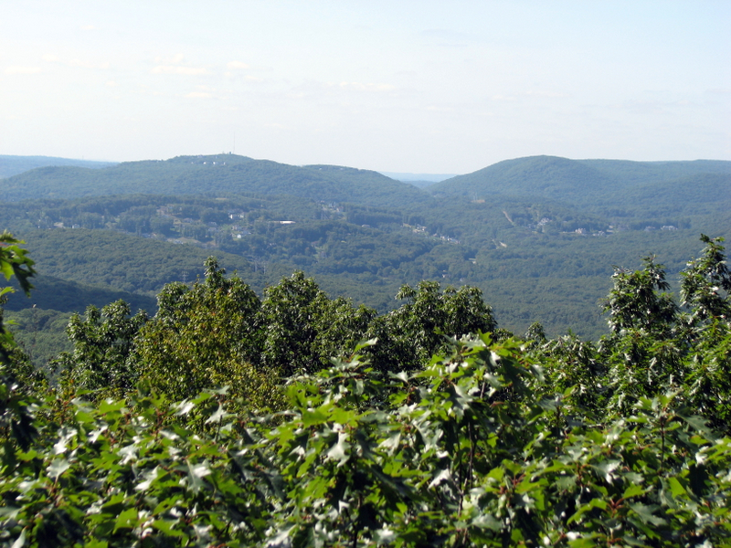
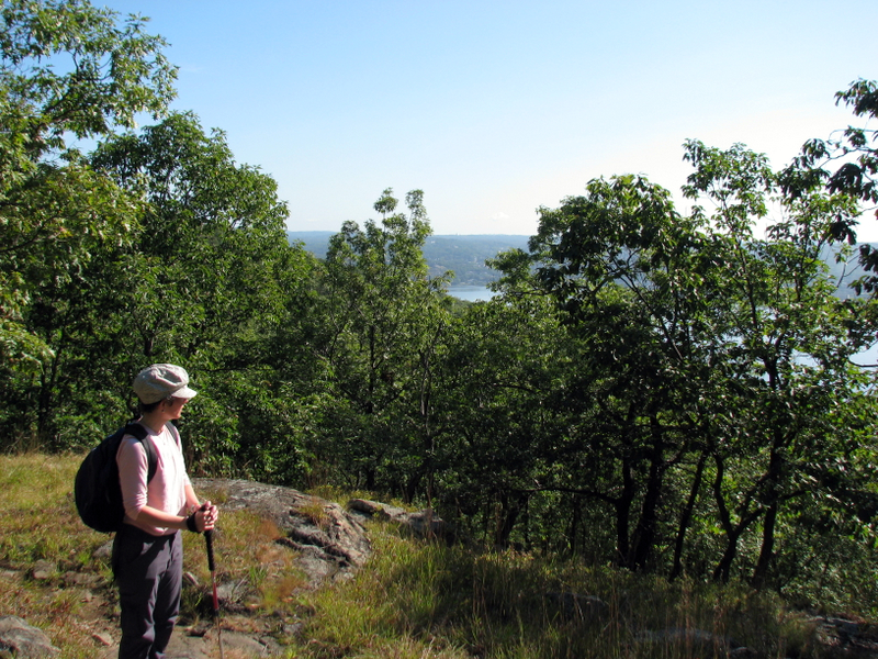 Hudson views begin |
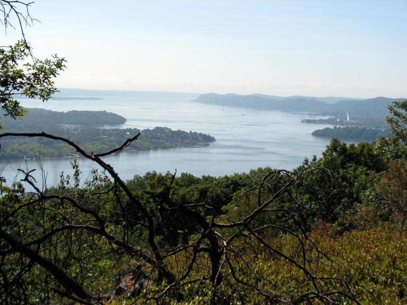
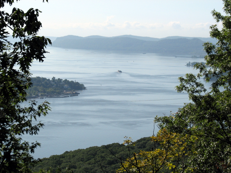 View of Hudson River looking south |
 |
 |
 |
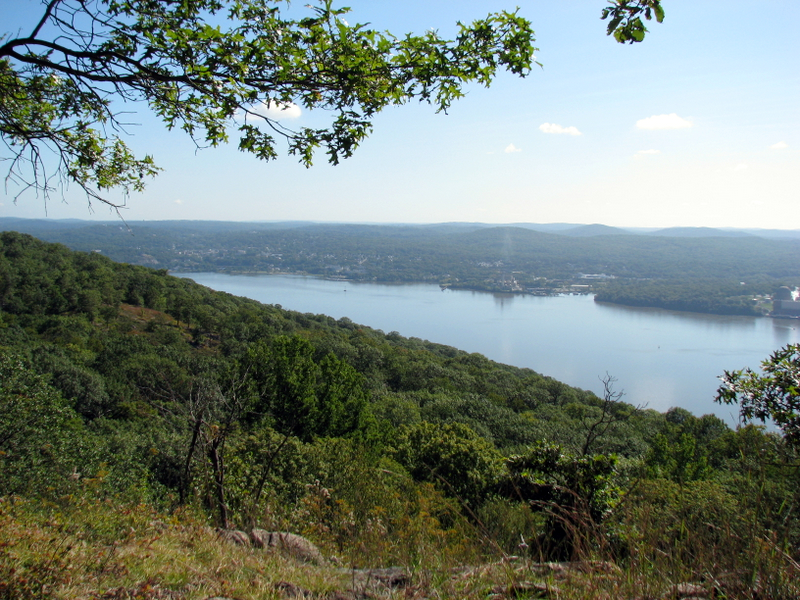
 View east |
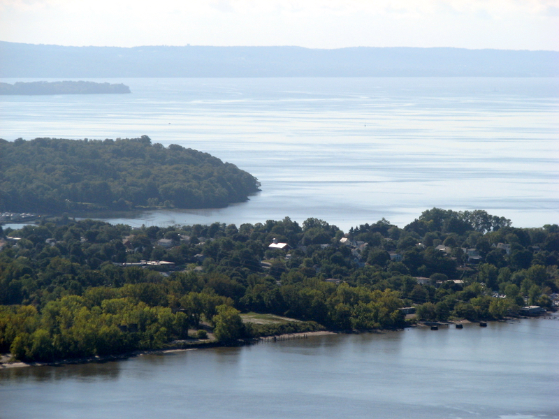
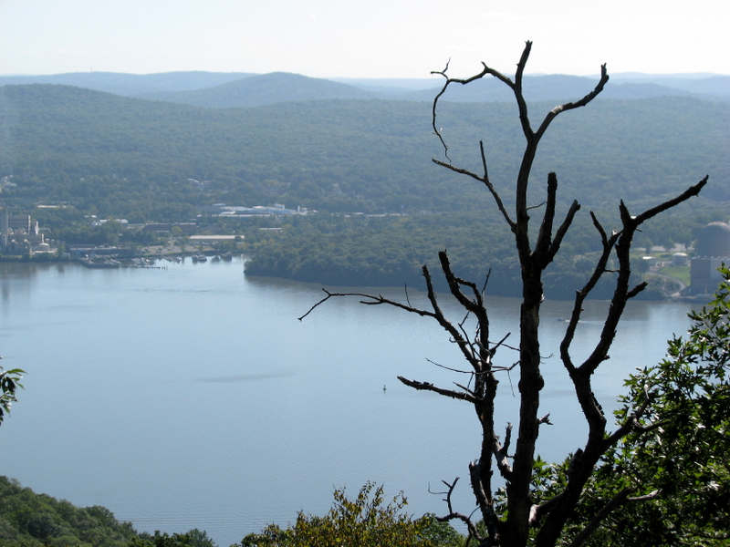
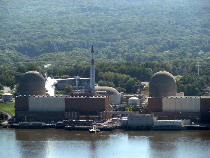 Indian Point right across the river |
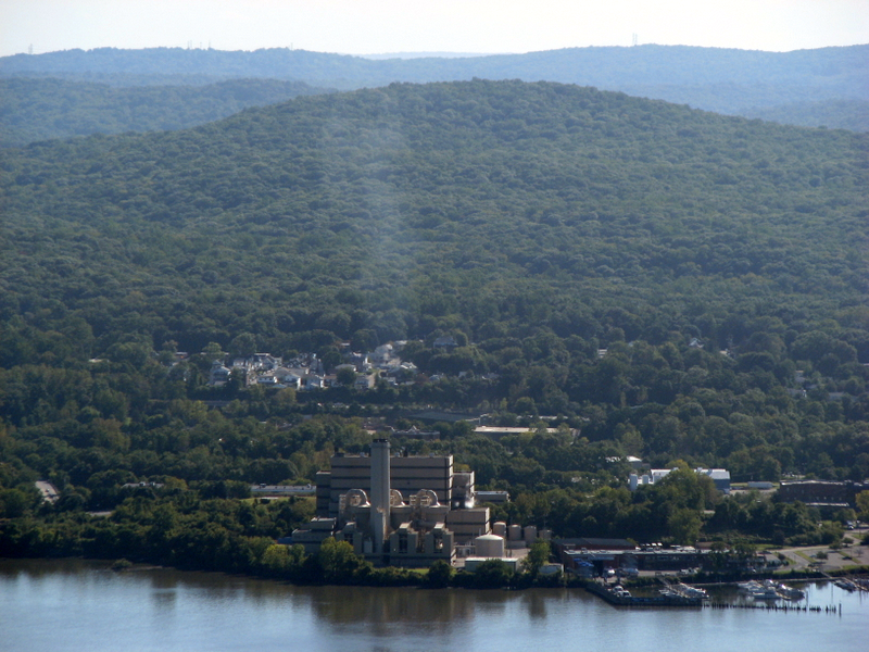
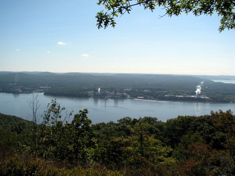 View NE |
 |
 |
 |
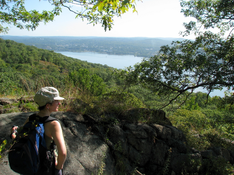
 View NE |
 [Photo by Laura] |
 |
 View south |
 View east |
 |
 |
 |
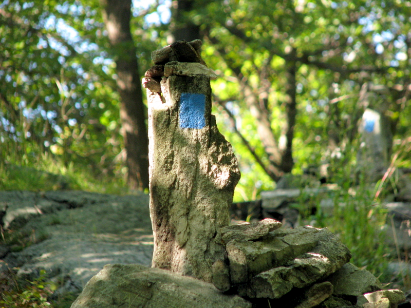 Cairns on the T-T |
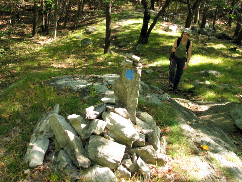 T-T cairn |
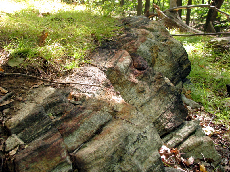 Iron in them thar rocks |
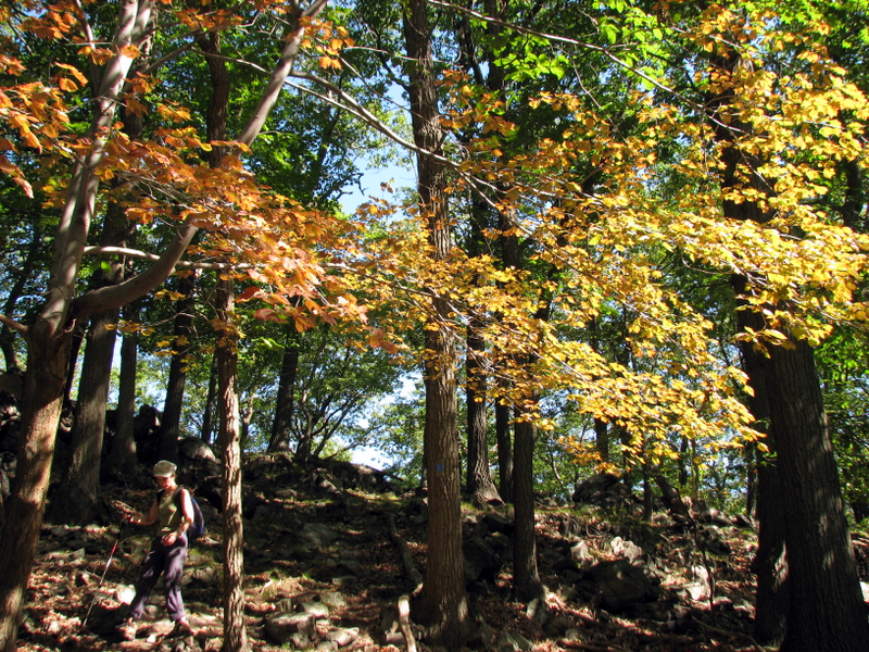 Early autumn color |
 |
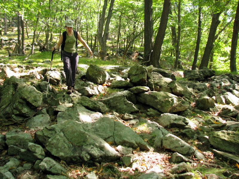
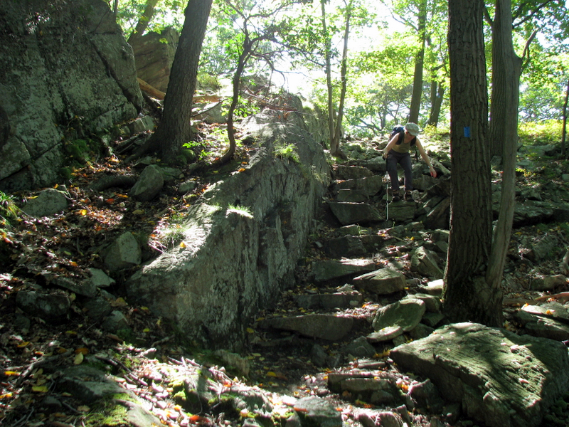 Steep descent on T-T |
 |
 |
 |
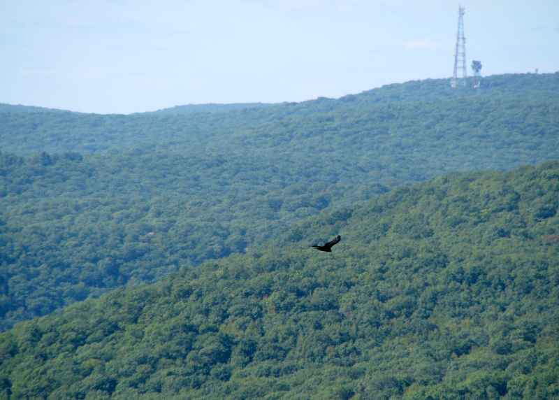 Vulture |
 |
 |
 |
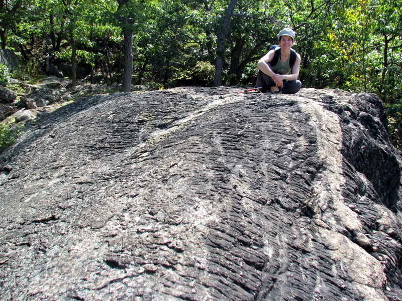
 On the Ramapo-Dunderberg |
 |
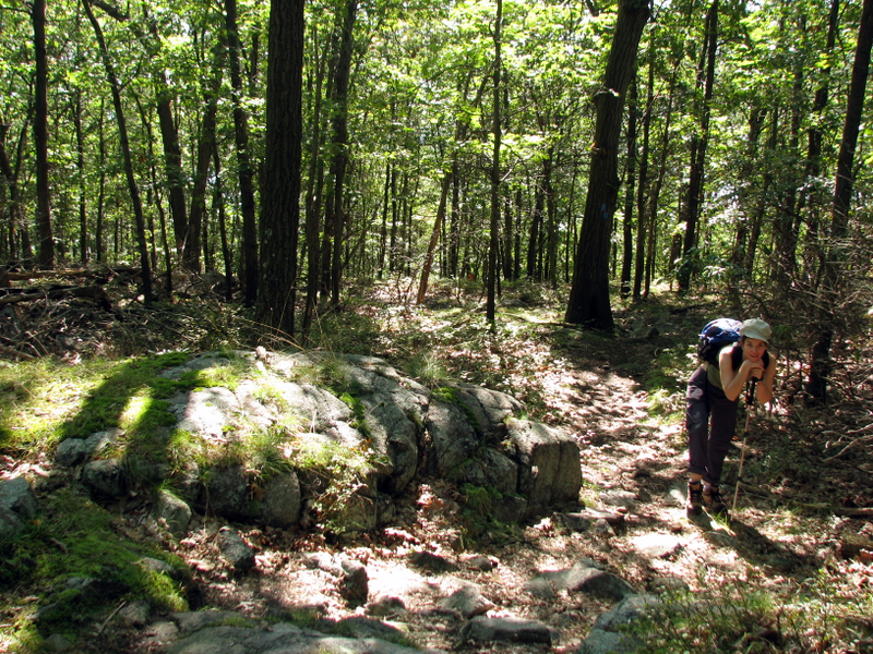
 On the 1777 heading east |
 |
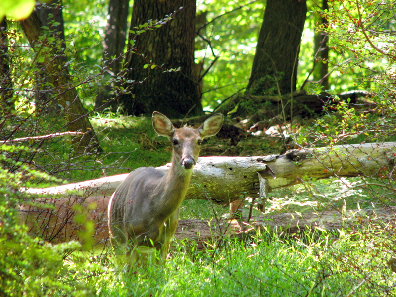 A doe ... |
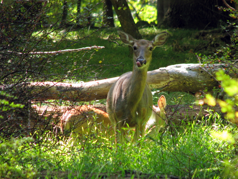 ... and her baby |
 |
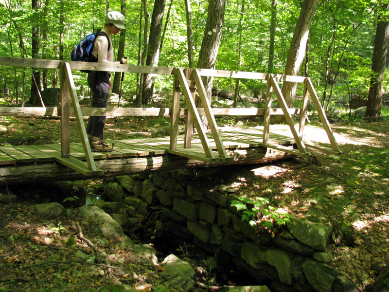 Bridge on 1777 trail |

|
|
Photographs and content copyright © Dan Balogh Web design by Dan Balogh |