 |
|
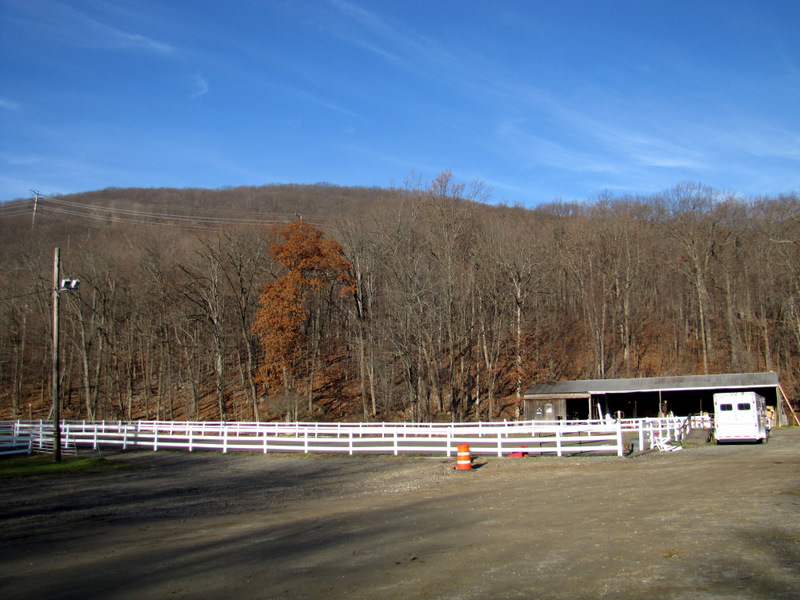
It was Black Friday today ... so off to the mountains we headed, as far away from shopping centers as we could get! Parking at the Ramapo Equestrian Center on Route 202 in Suffern,
we did a circuit hike of my own invention, comprised of about 50% unblazed and unmaintained woods road, and about 50% blazed trails. The only part we previously hiked
was the section of the Pine Meadow trail between the equestrian center and its intersection with the Suffern-Bear Mountain trail. Everything else was completely new for us.
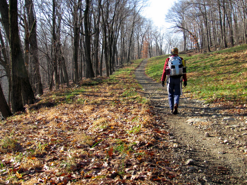
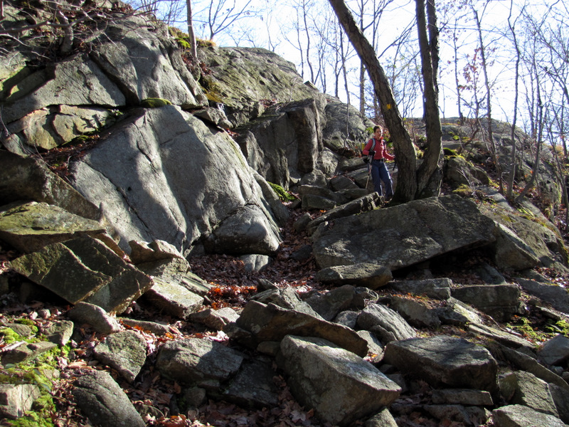
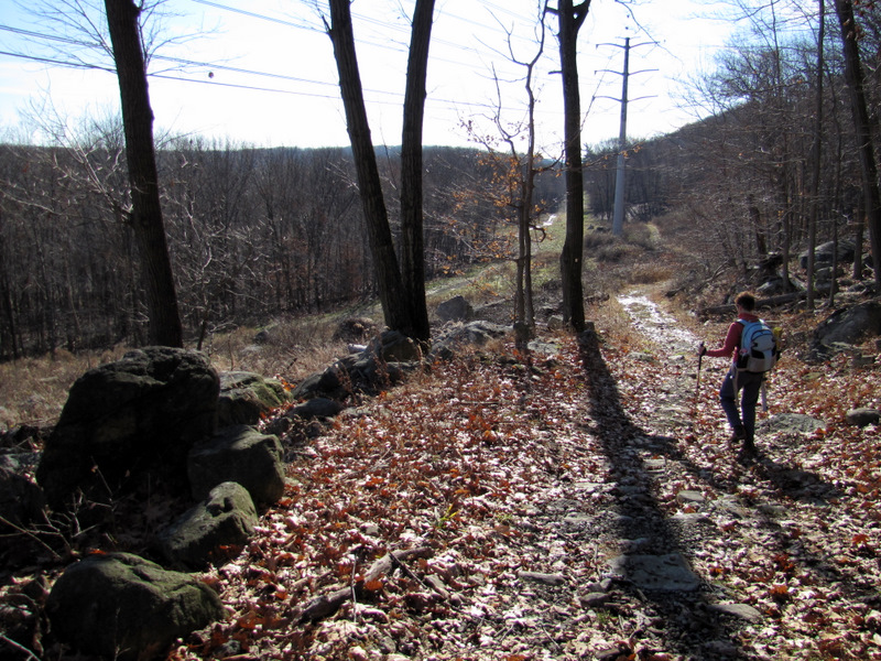
We took the Pine Meadown trail, which begins behind the horse corral, west to the gas line cut. Instead of turning right to continue on the PM trail we made a left and headed south in the cut. Eventually we veered right up Sherwood Path, a rugged, unblazed woods trail which has several other woods roads criss-cross along the way, many of which are not on the NYNJTC Harriman trail map #118 (2010 edition). My iPhone with its GPS came in very handy here. At one point, after already passing under the powerline cut, we turned left (thinking we were continuing on Sherwood) only to end up back at the power-line cut! The road we took is not on the map. No matter, since the cut was very high up at that point and I got some nice photos. We continued along Sherwood (which was just a trace in places) until we got to the Suffern-Bear Mountain trail. The Stone Memorial shelter was just west of the intersection. We headed west all the way to the Egg, which afforded some nice views from the top. Then we turned and headed east (once again passing the shelter), having lunch at Hawk Cliff (which should be renamed Vulture Cliff) enjoying its magnificent views. After lunch we continued east on the SBM all the way to where the PM joins. When the PM broke off, we took it all the way back to the equestrian center. Total distance hiked today was 5 rugged miles in 4 hours.
|
 Catamount Mountain looms behind |
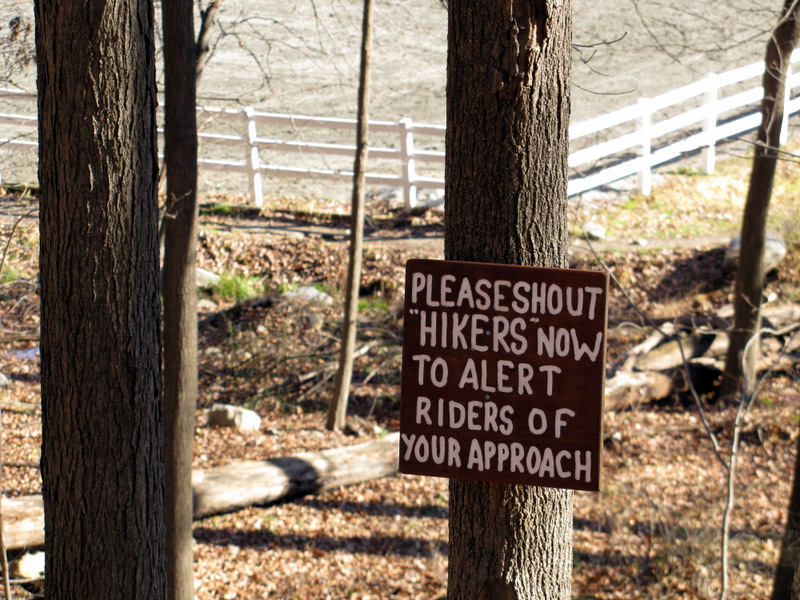
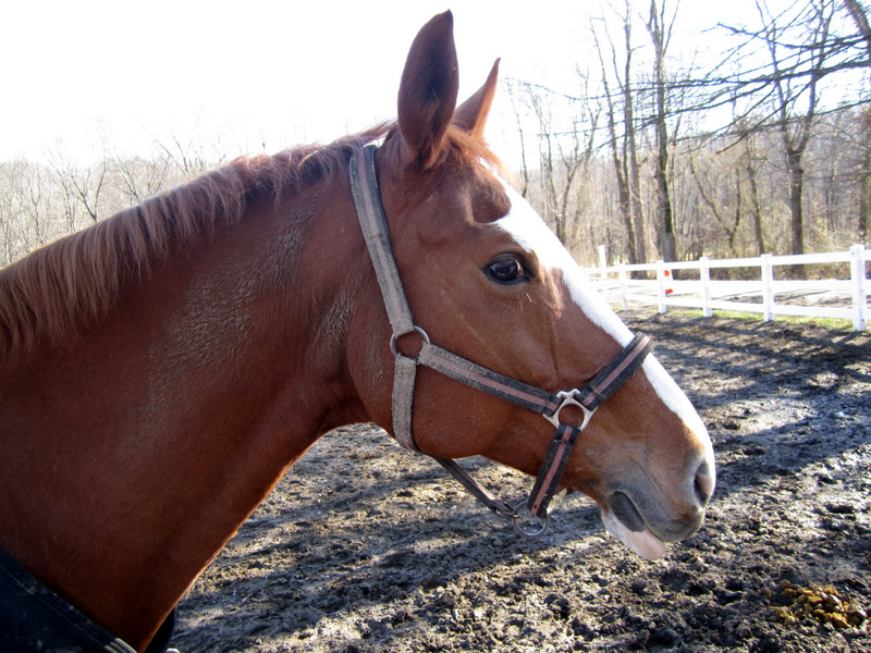
 Horsies! |
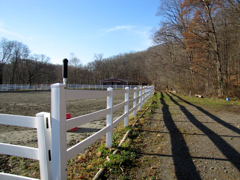 PM begins behind corral |
 View of corral from trail |
 |
 Heading south in the gasline cut |
 View north |
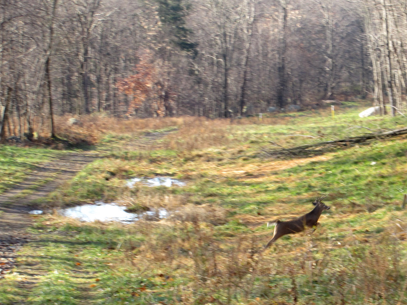 Dashing deer! |
 Wildflower |
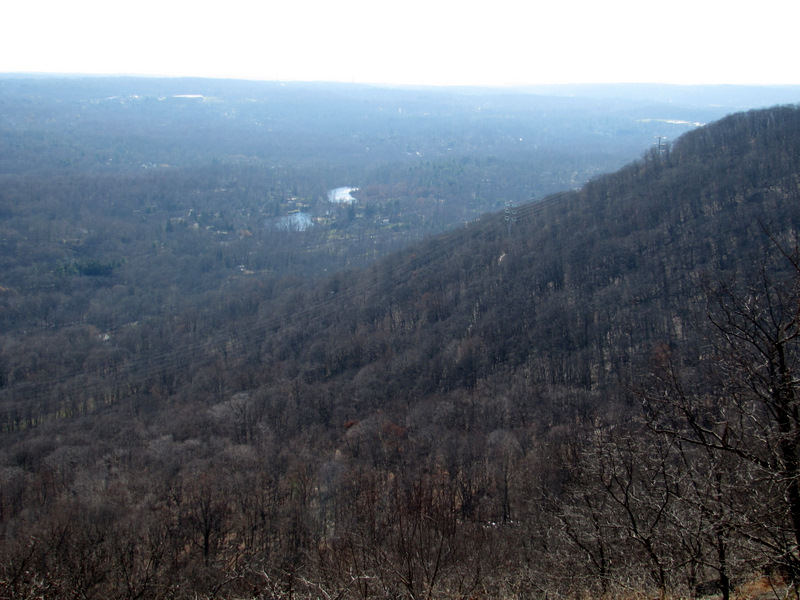
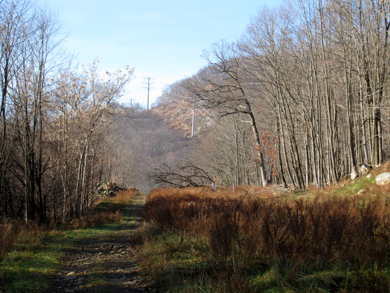 Powerline cut far above |
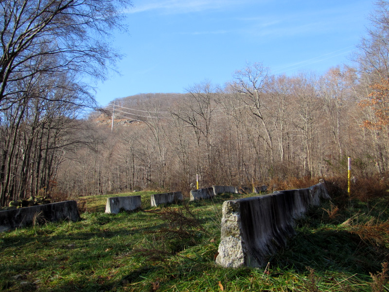 Old cement blockade in the cut |
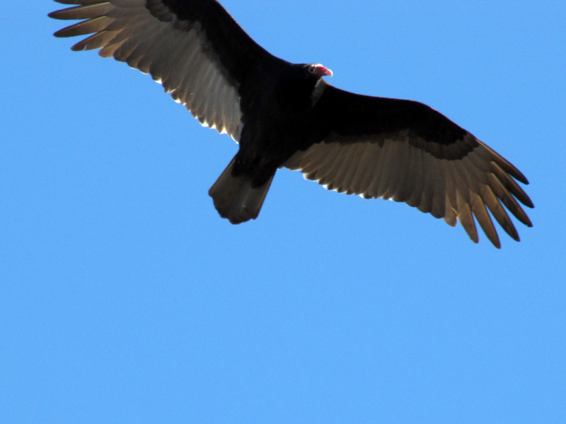
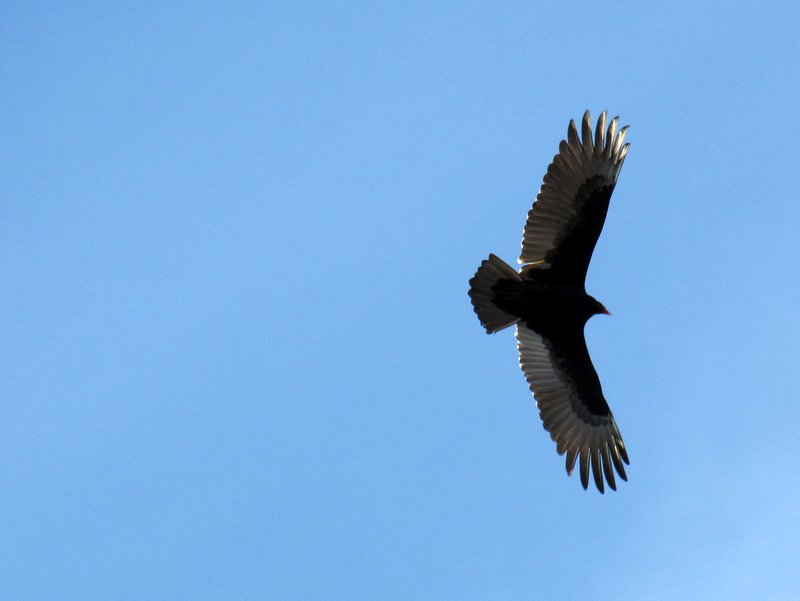 Turkey vulture |
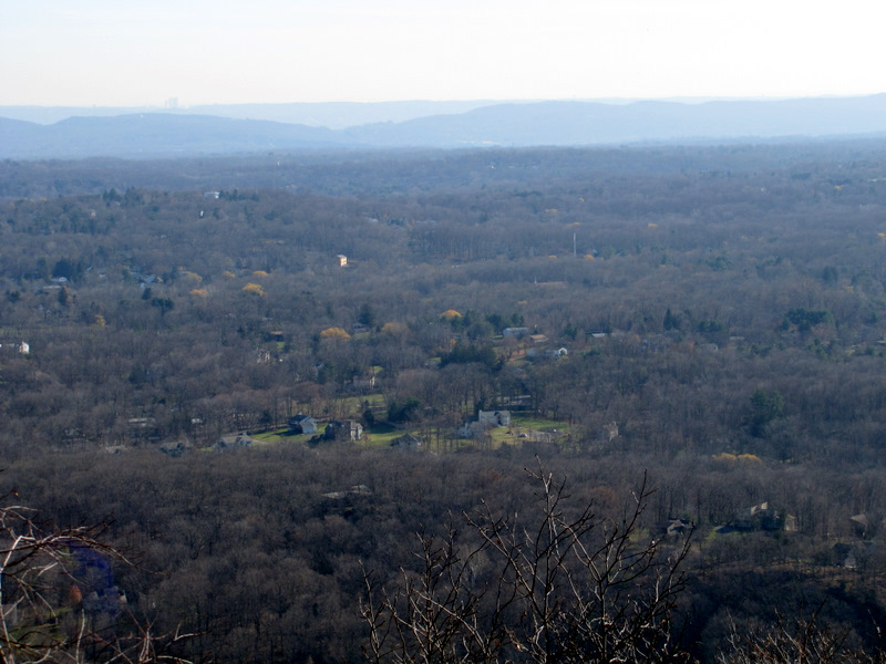
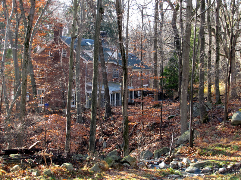 House far off Route 202 |
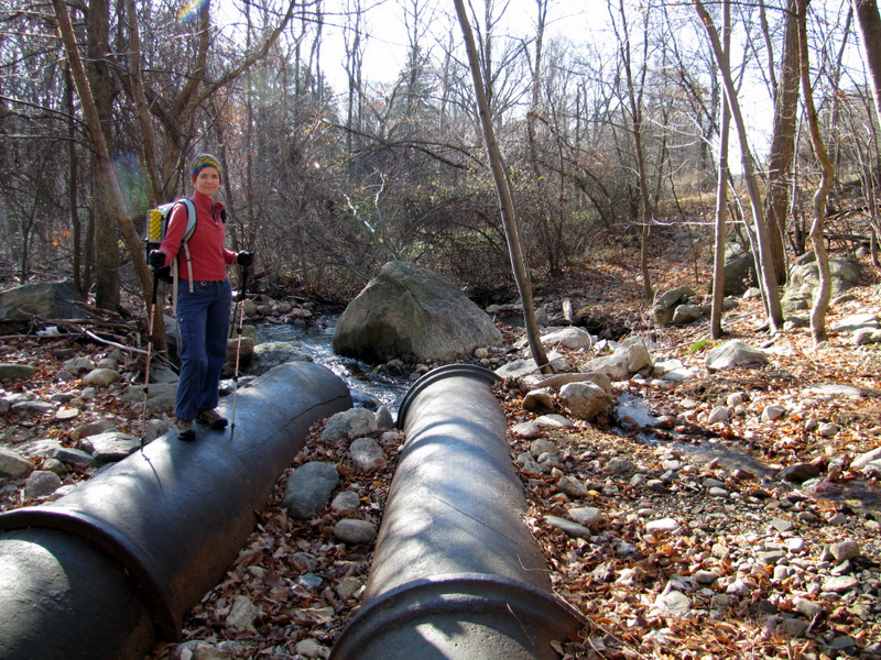 Large pipes |
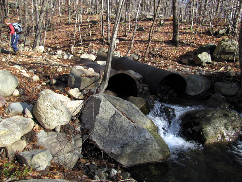 Water run-off from mountain |
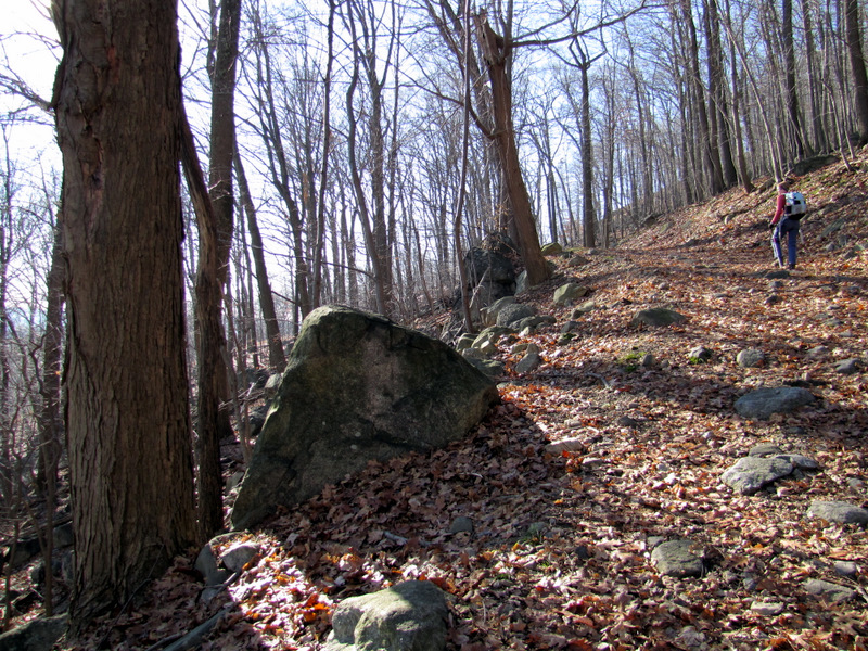
 Climbing rugged Sherwood Path |
 Passing under powerline cut |
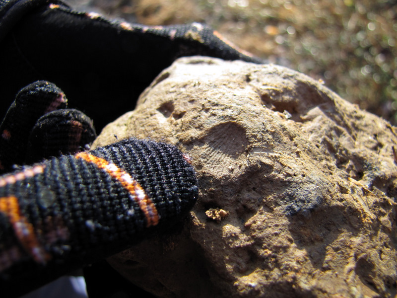 Shell fossil |
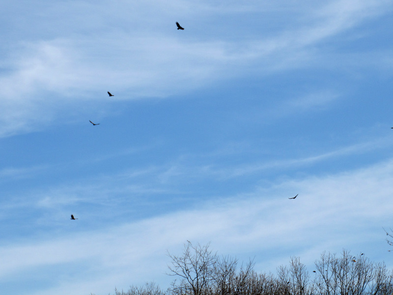 Lots of vultures |
 Two deer |
 Heading up the wrong ... |
 ... very steep road |
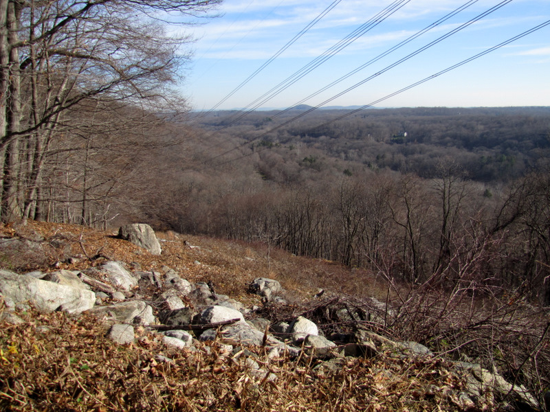 But the views ... |
 ... were great |
 View north to Cheesecote Mountain |
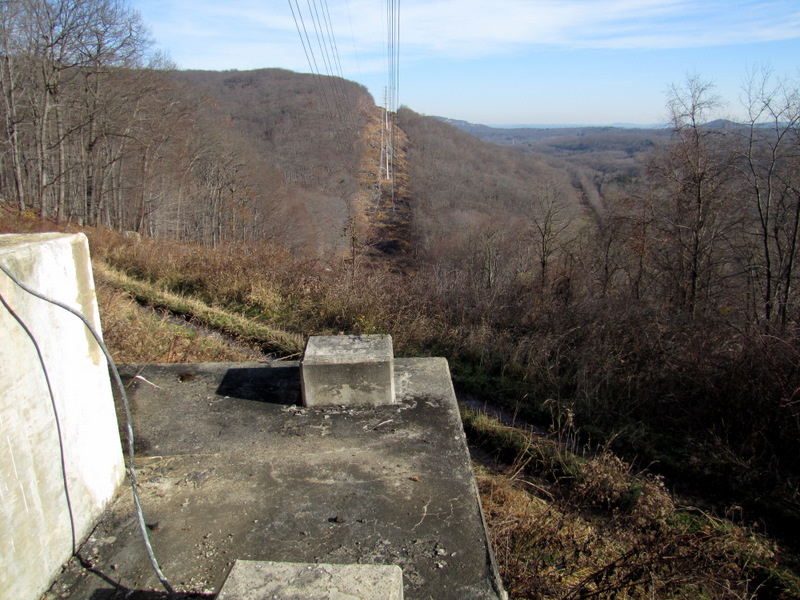 View from the pylon |
 Directly under the lines |
 Heading back down |
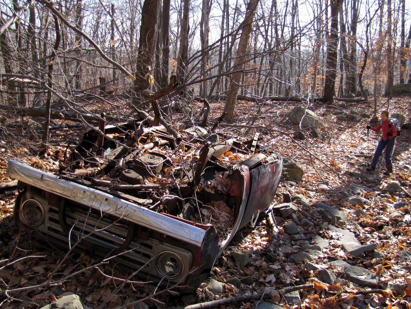 Upside down vehicle on Sherwood |
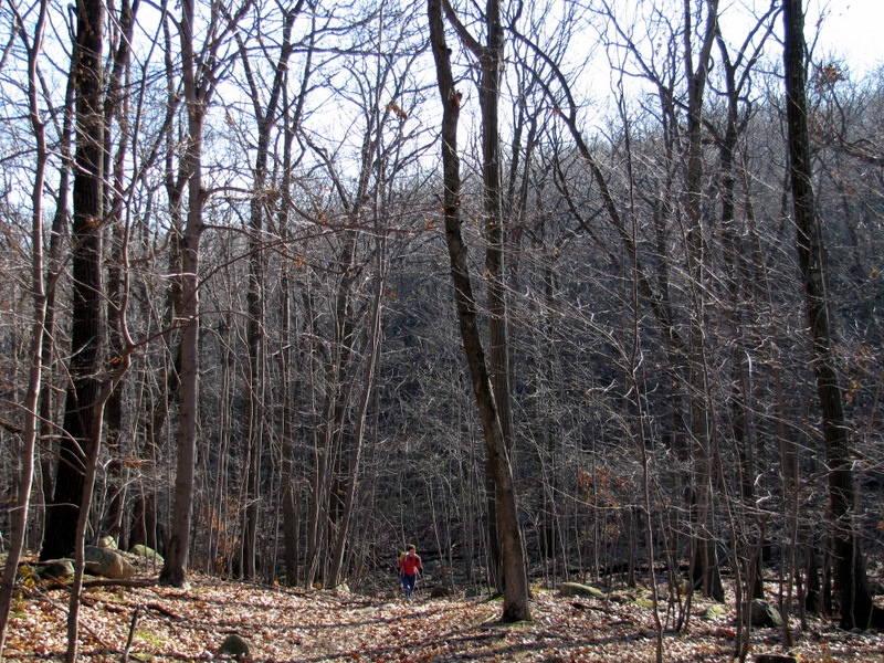
 Very rugged trail |
 |
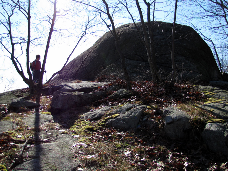
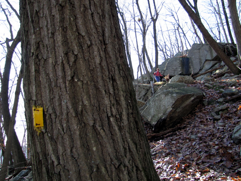
 Stone Memorial shelter |
 On Suffern-Bear Mt. trail |
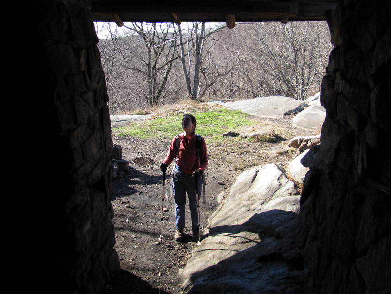 View from inside |
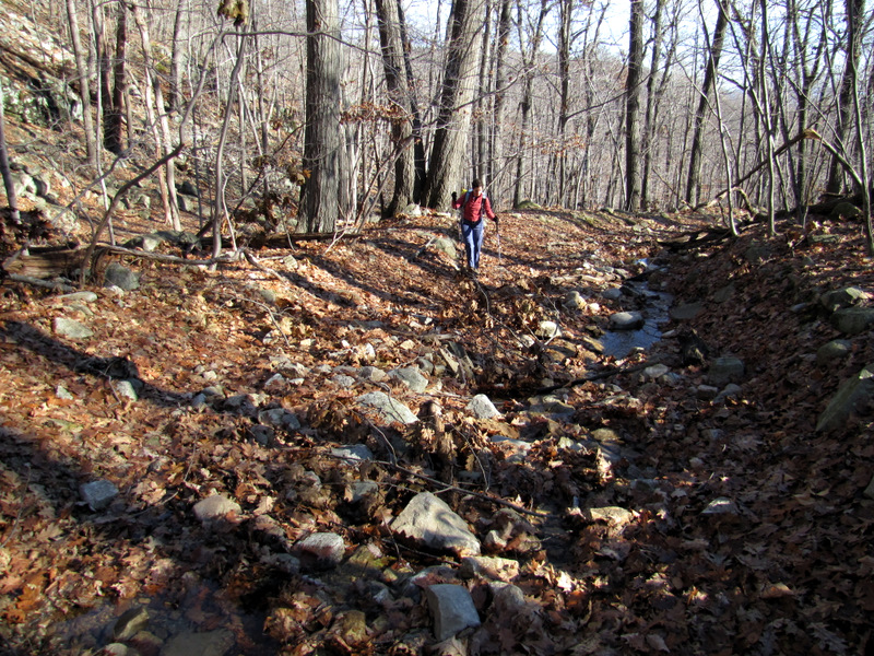
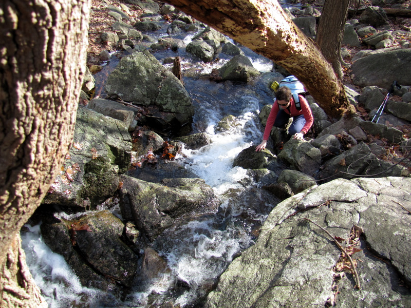
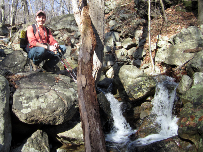
 Steep descent to creek |
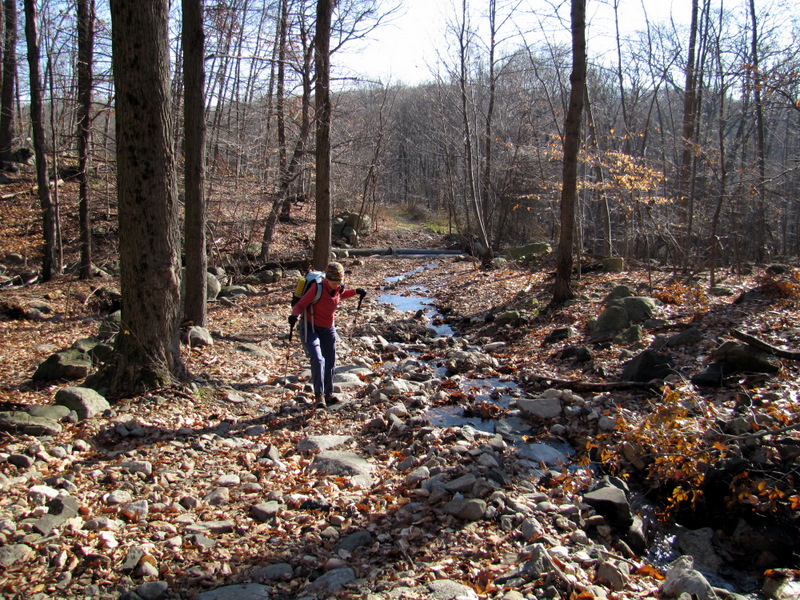
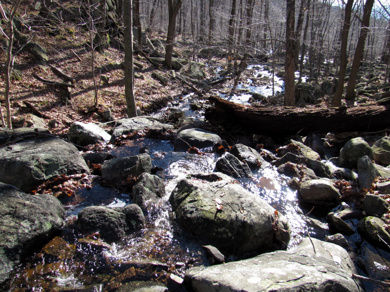 Creek not on map |
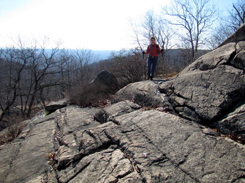
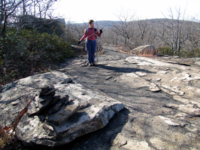
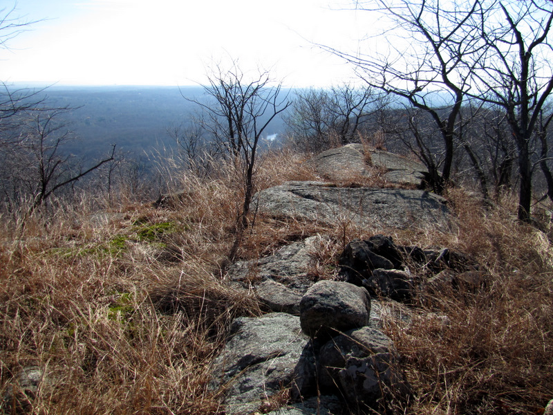
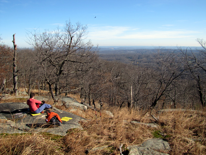
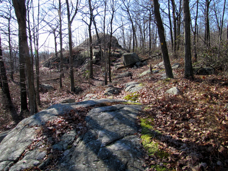 Approaching the Egg |
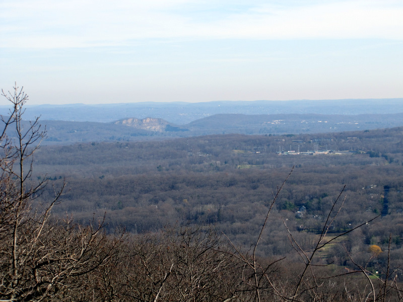
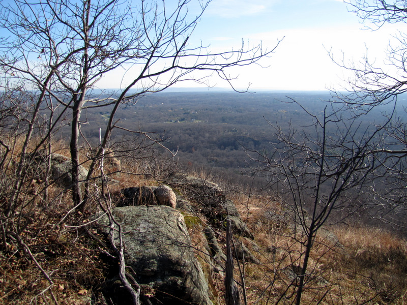
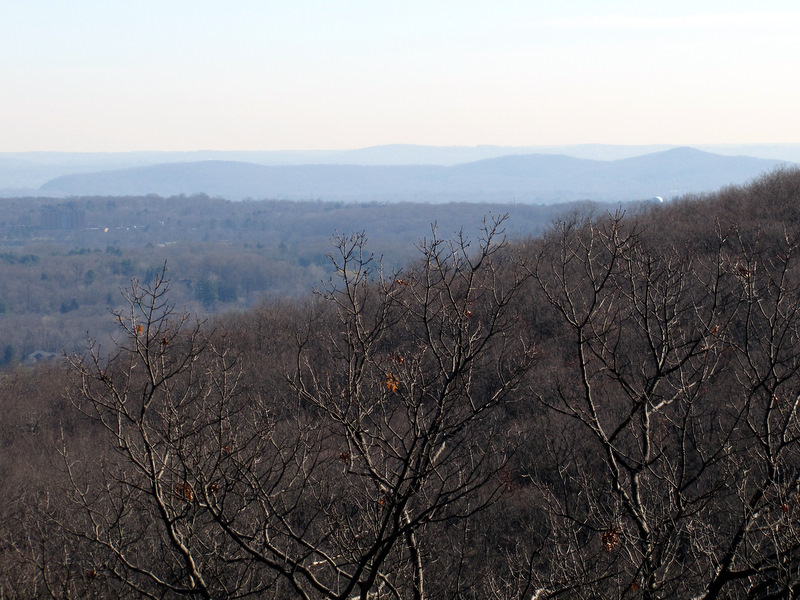 View south from the Egg |
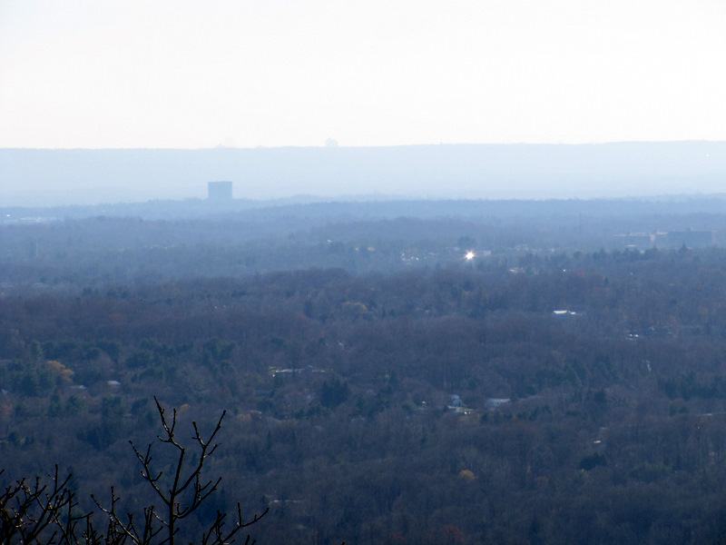
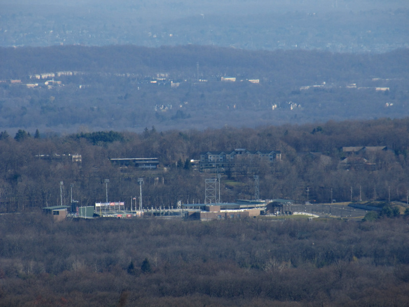
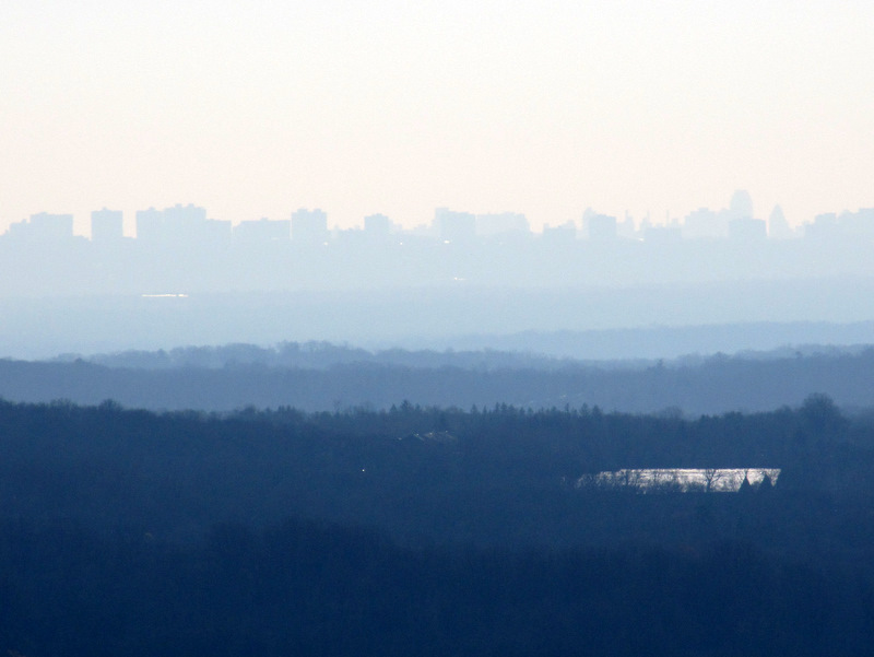 Zoom of distant skyline |
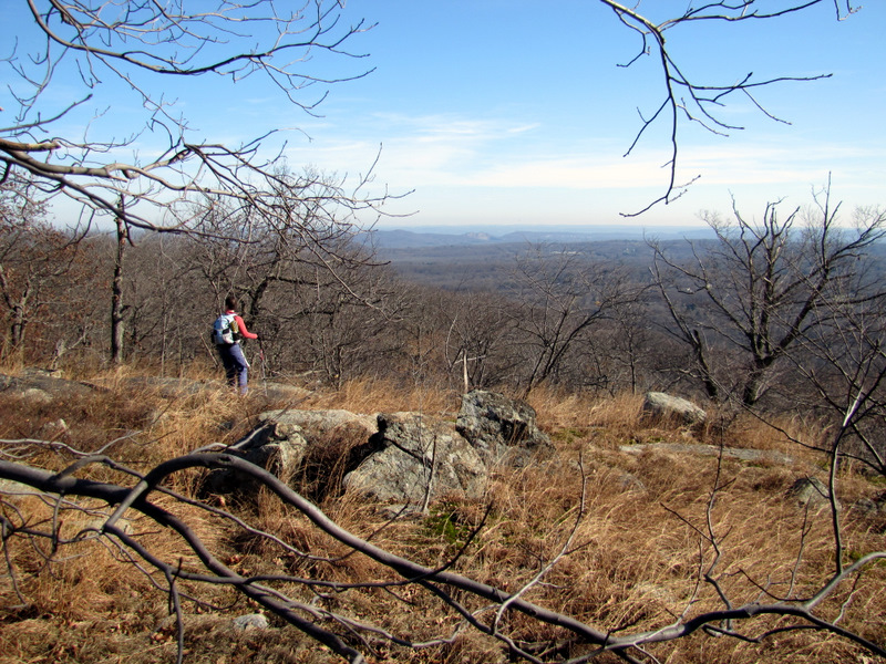
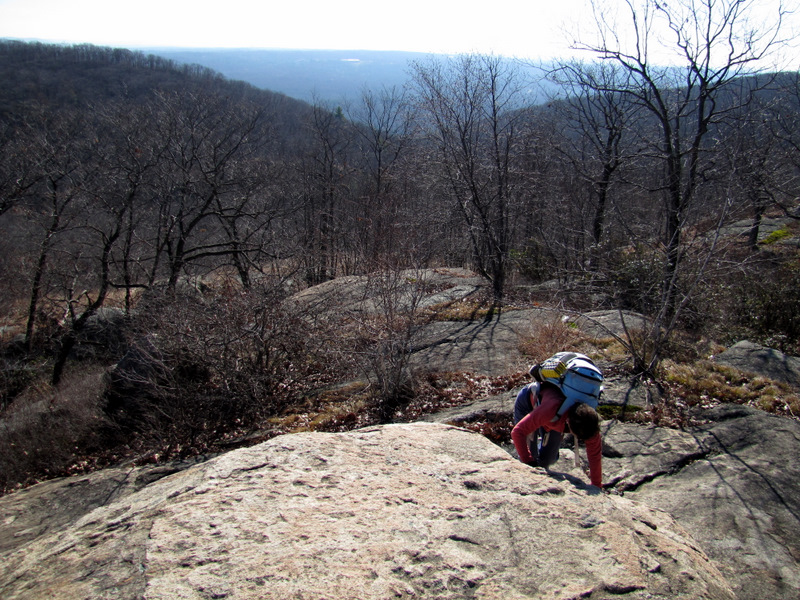 Climbing to the Egg |
 |
 View east from the Egg |
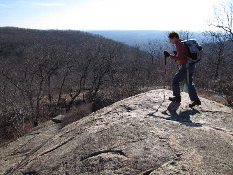
 On the Egg |
 |
 Laura and the Egg |
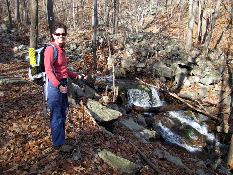
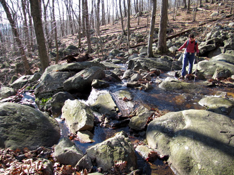 Re-crossing stream |
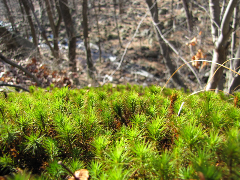 Sphaghnum moss |
 Slate surface with slate cairn on S-BM |
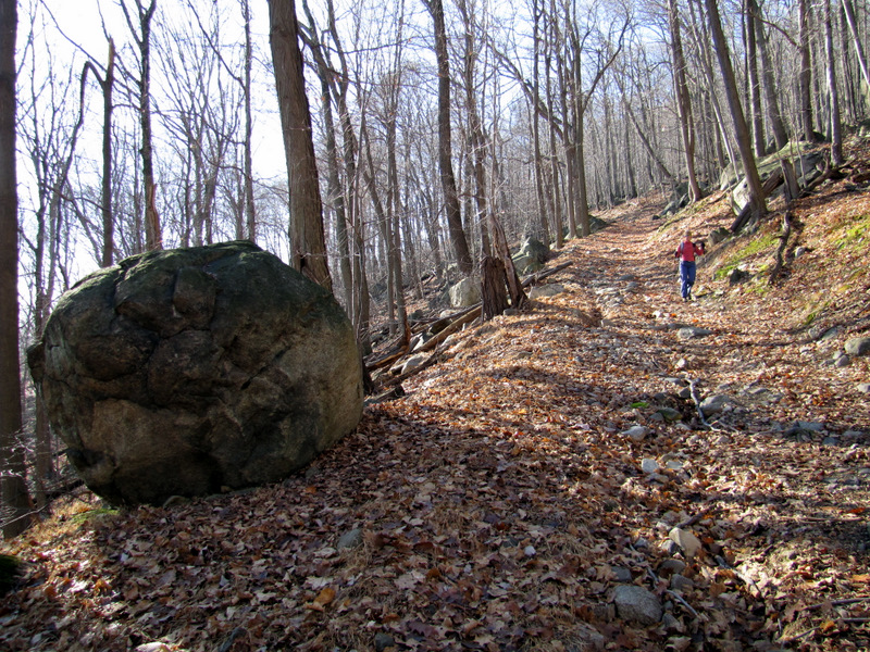
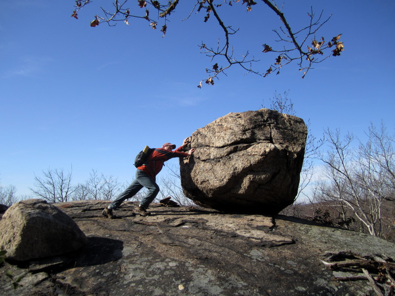
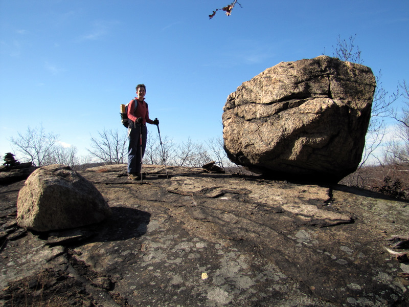 Large glacial errata |
 Cleaning up the trail [photo by Laura] |
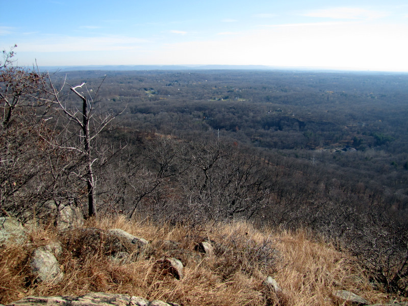
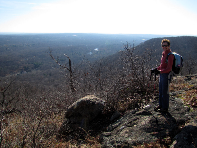
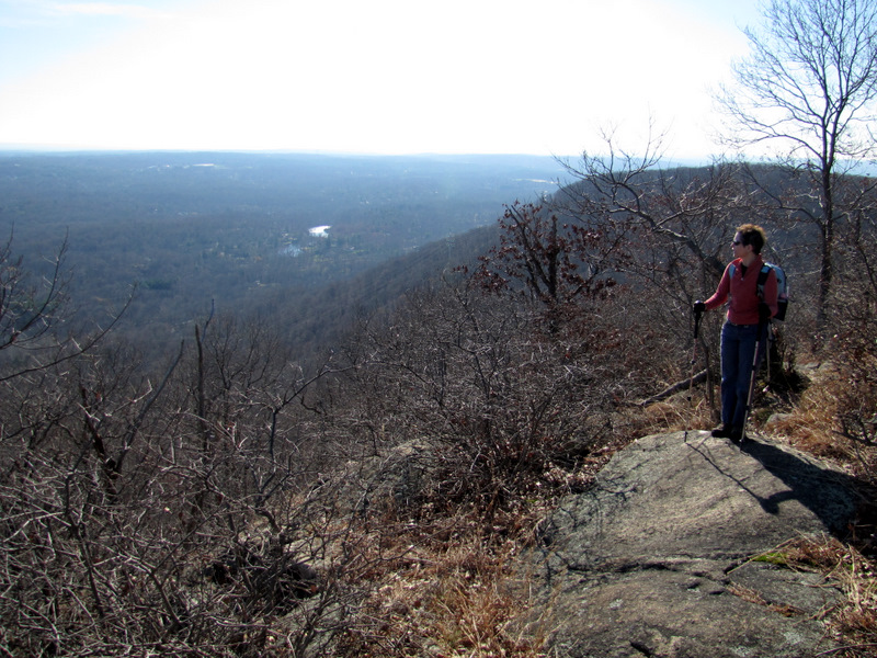
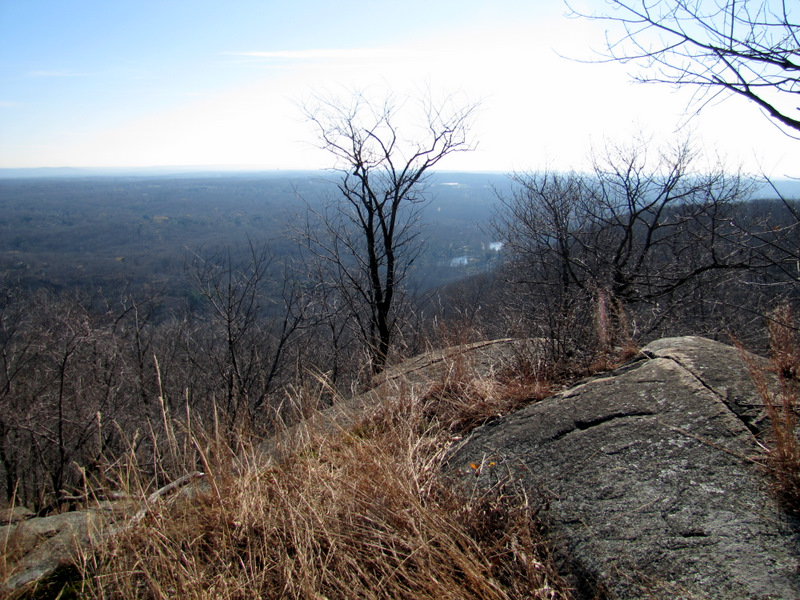 View SE from Hawk Cliff |
 View east |
 |
 |
 Finding a good lunch spot |
 Looking for lunch! |
 Our lunch spot! |
 Views ... |
 ... east from ... |
 ... Hawk Cliff |
 |
 We're above the vultures |
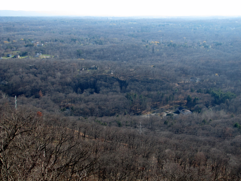
 View SE |
 View NE |
 |
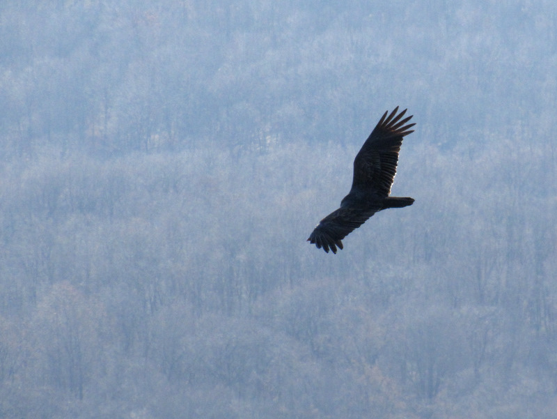 Soaring turkey vulture |
 Hawk Cliff |
 |
 |
 Ascending on S-BM |
 |
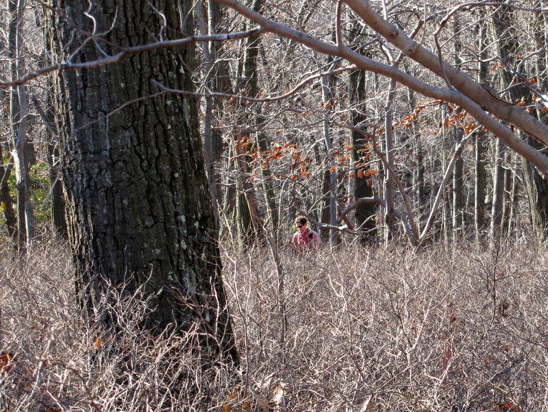 Laura behind blueberry field |
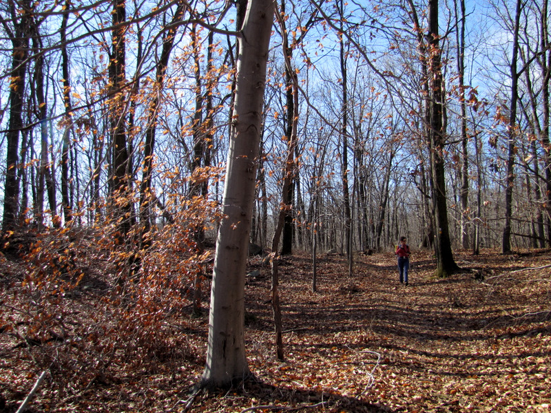 Some remaining beech color |
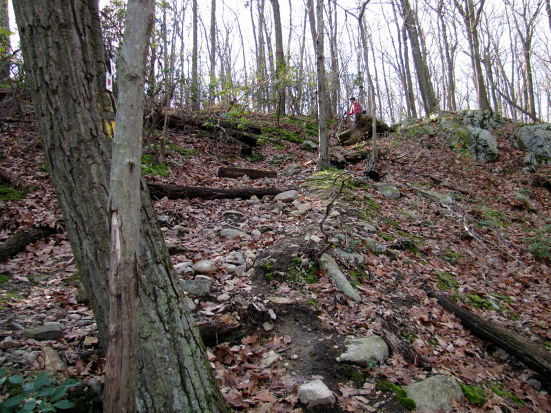 More ascending |
 Cascades in stream |
 [Photo by Laura] |
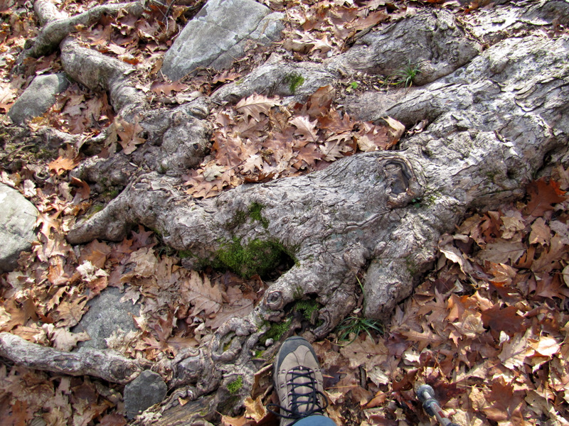 Modern art in tree root |
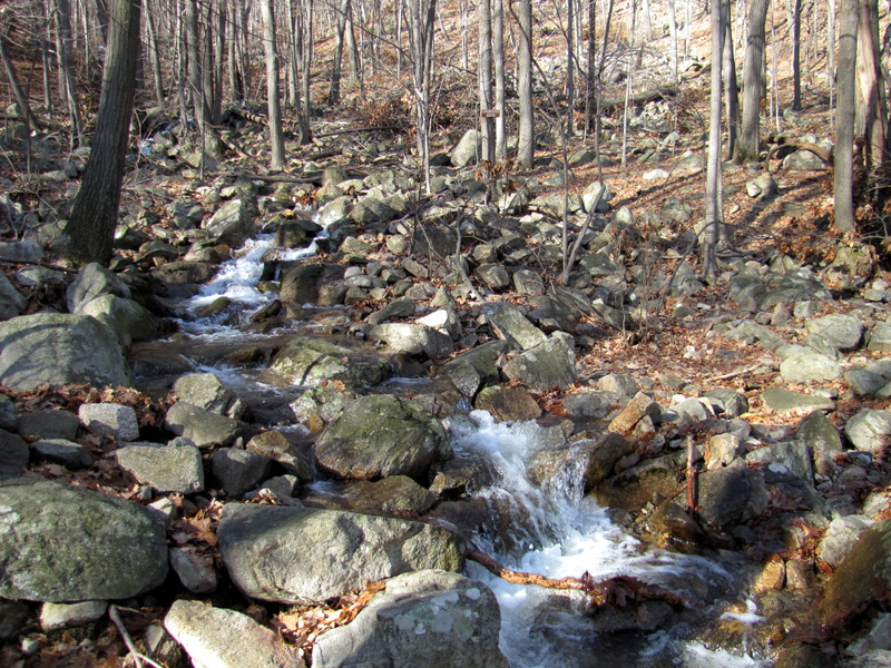
 More cascades on PM trail |
 |
 |
 Creek crossing |
 Heading into powerling cut |
 Indeed! |
 Horsie! [photo by Laura] |

|
|
Photographs and content copyright © Dan Balogh Web design by Dan Balogh |