 |
|
Like the hike just five days ago in MacGregor Preserve, this area is also located in Chester Township. Today was Christmas Day so we didn't have a whole lot of
time to go hiking, so we managed to cobble together a 2.5-mile circuit using
this map.
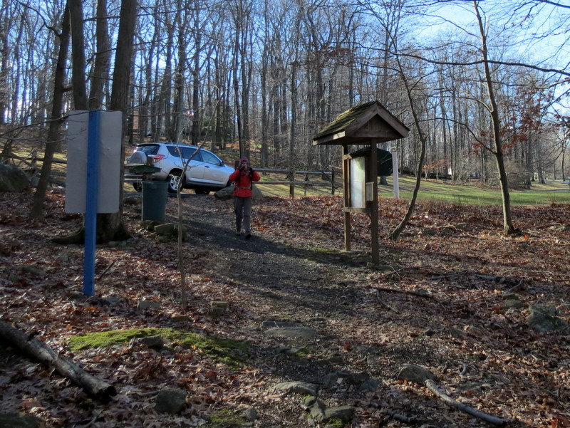
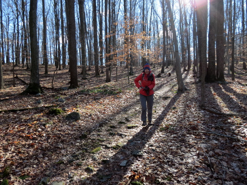
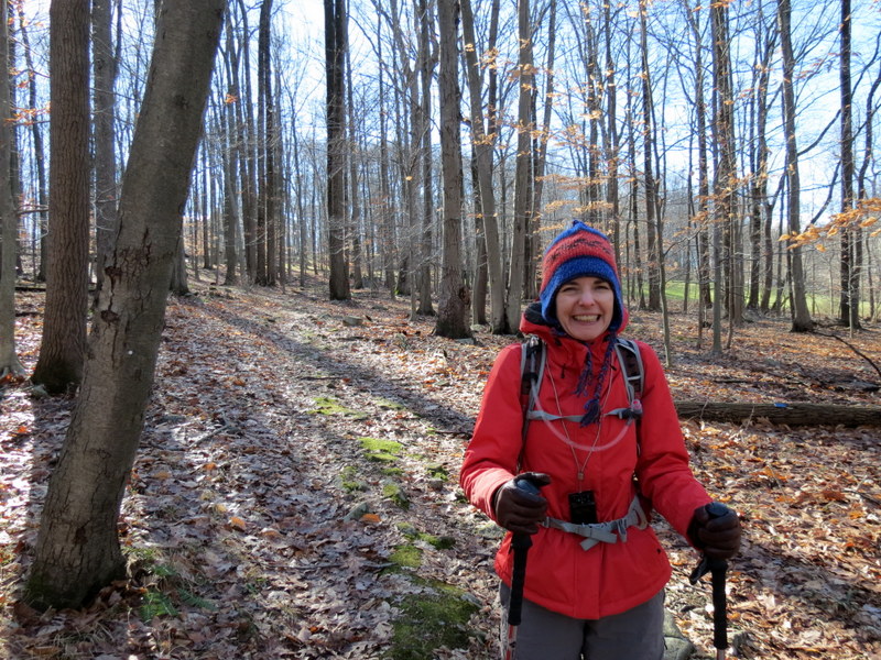
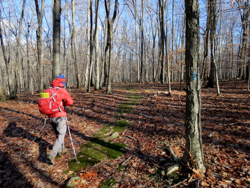
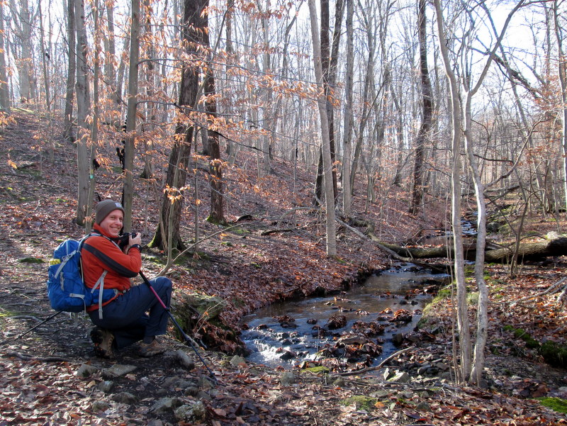
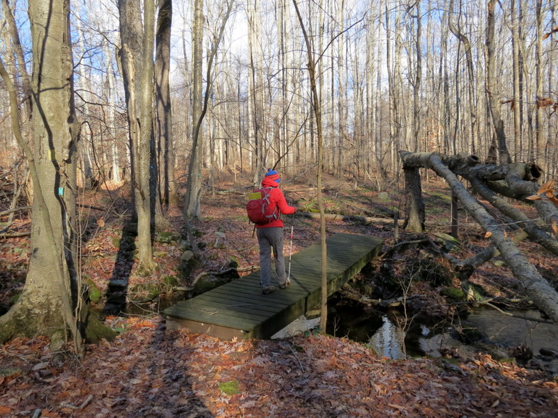
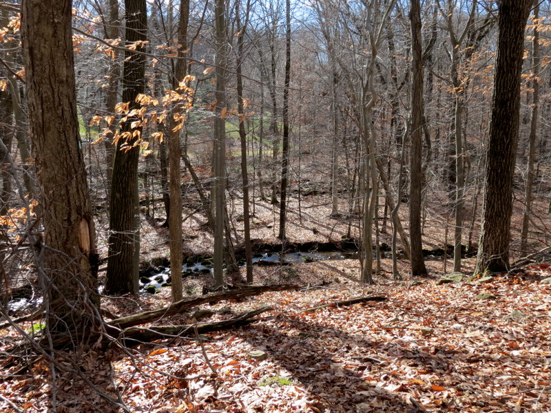
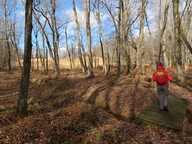
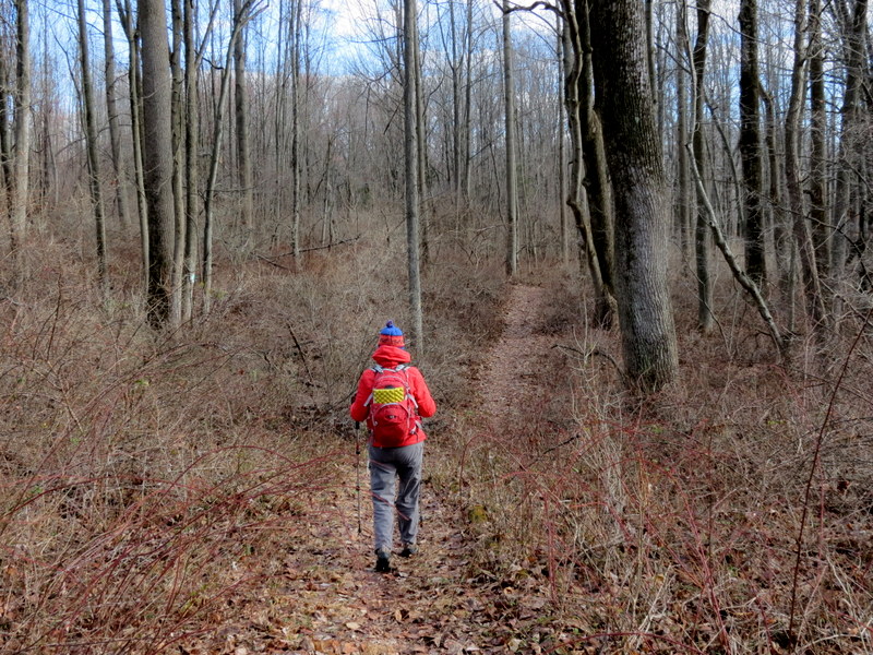
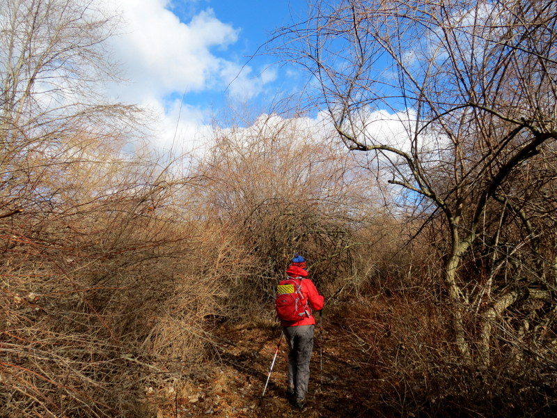
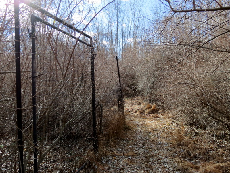
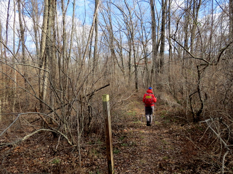
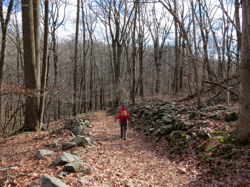
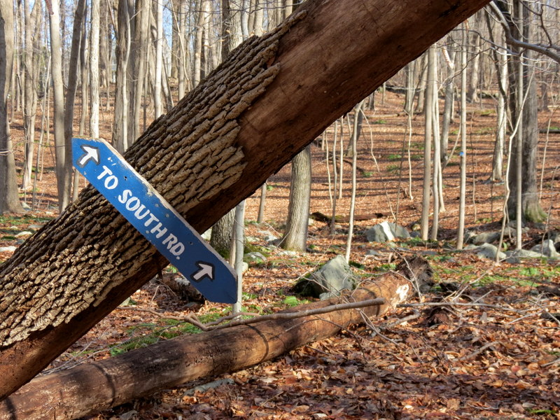
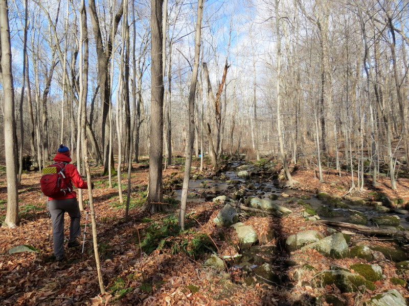
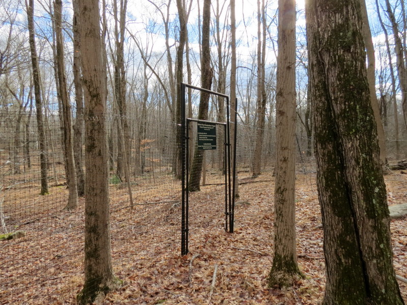
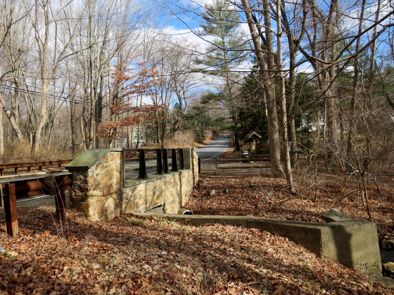
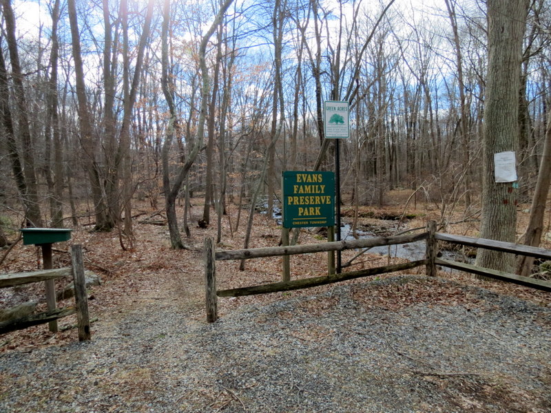
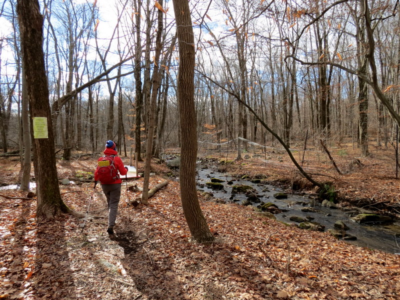
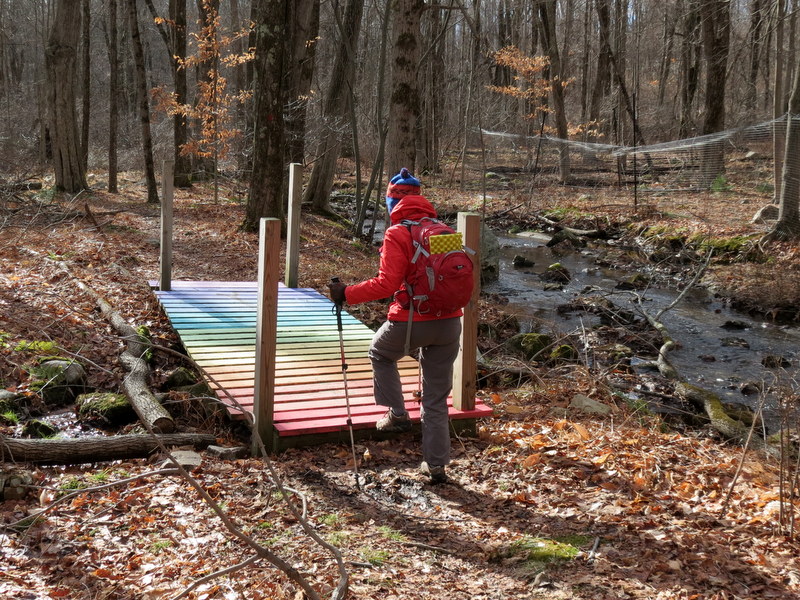
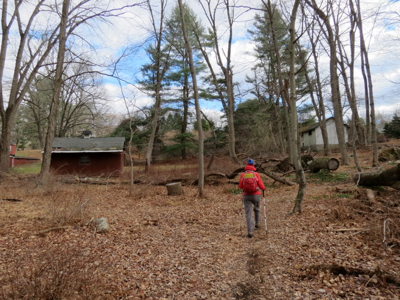
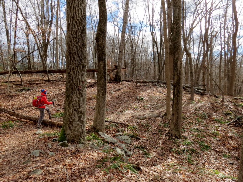
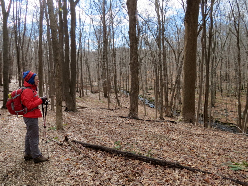
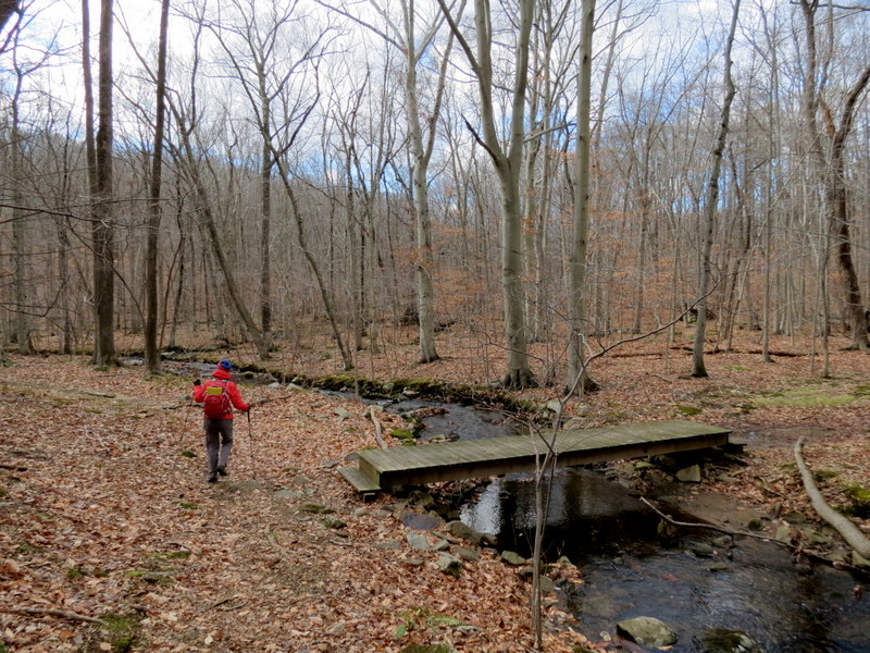
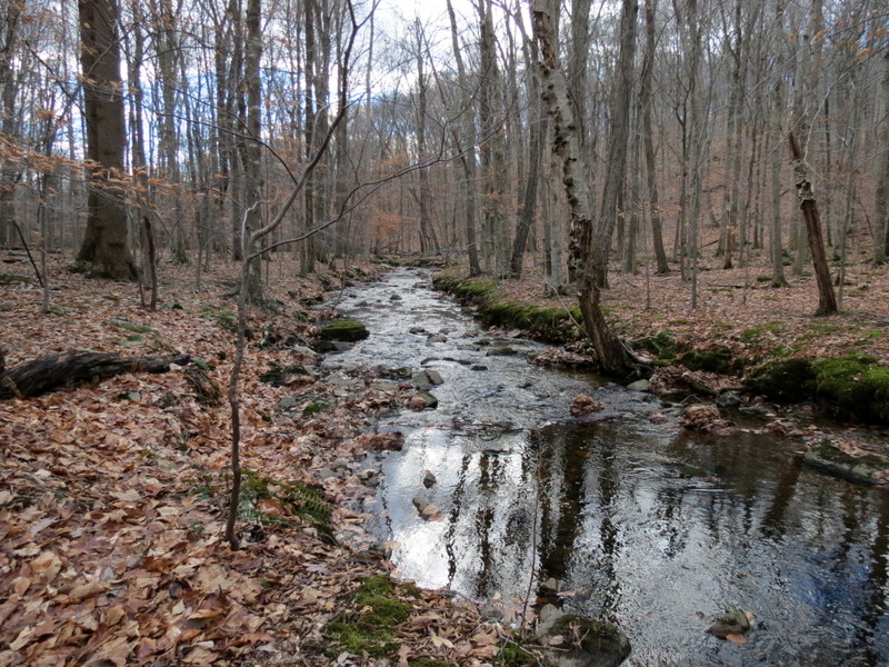
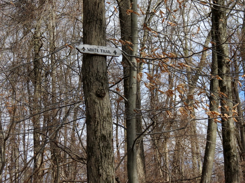
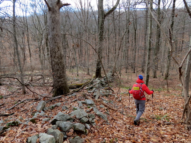
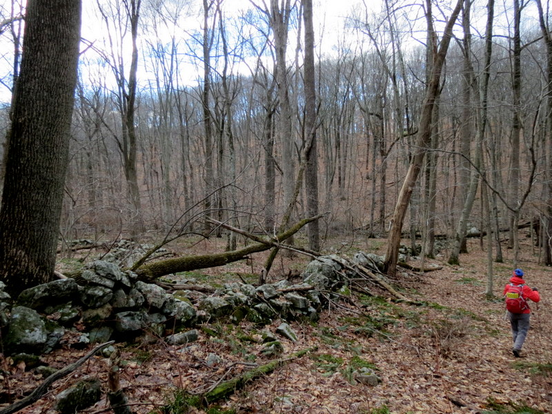
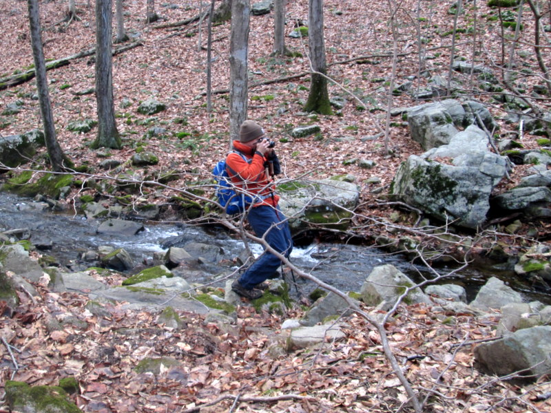
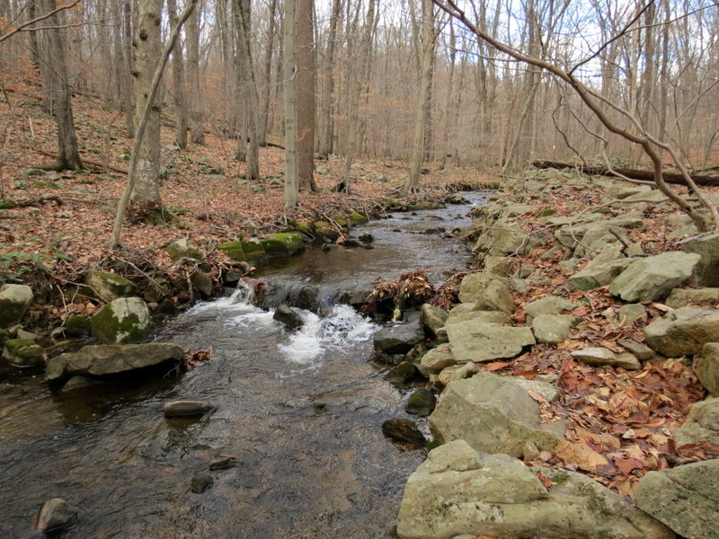
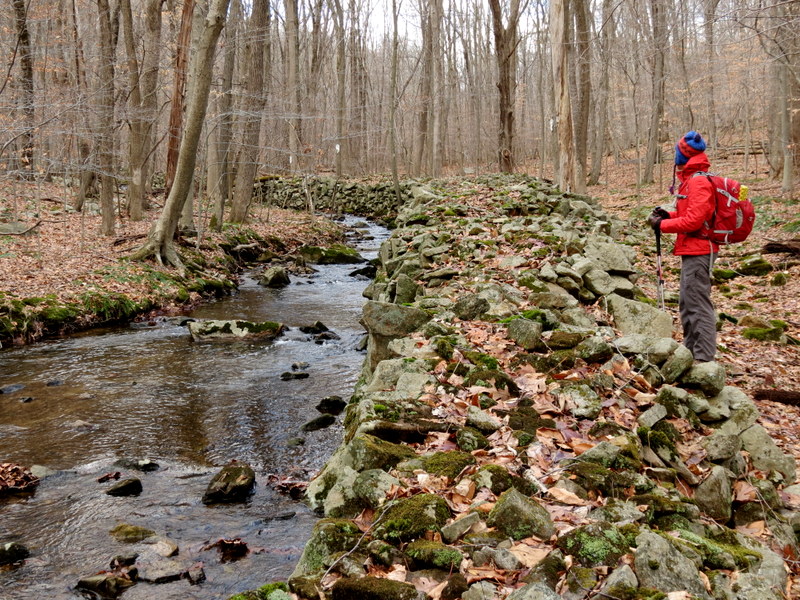
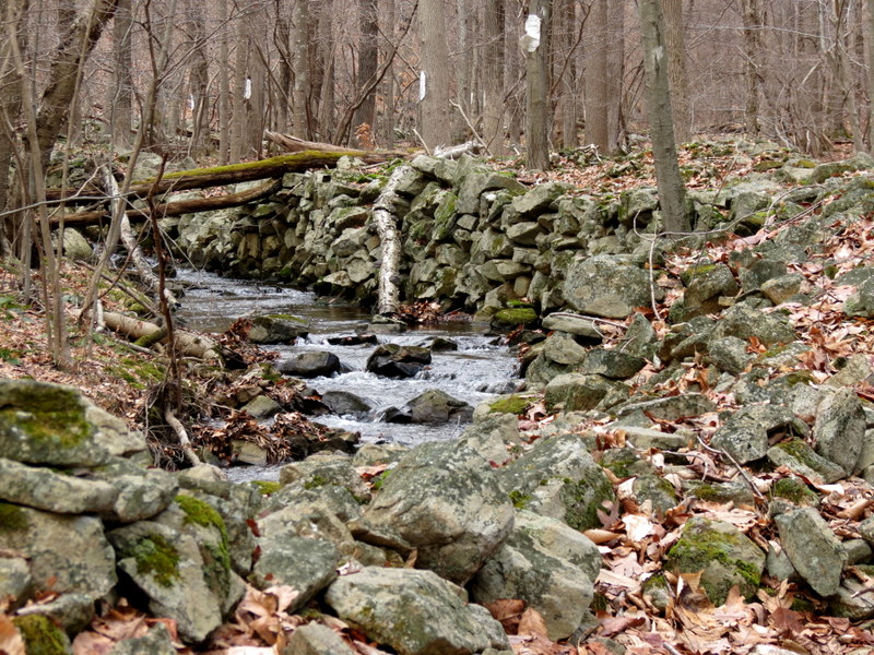
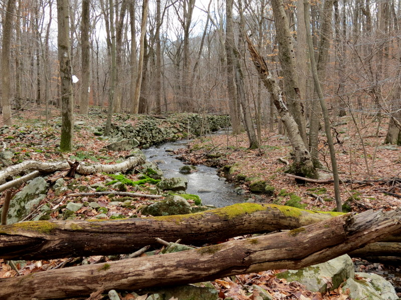
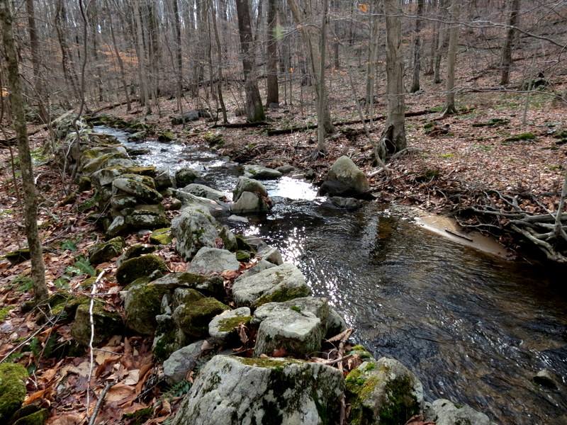
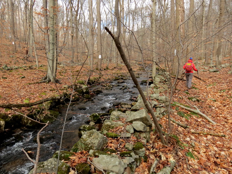
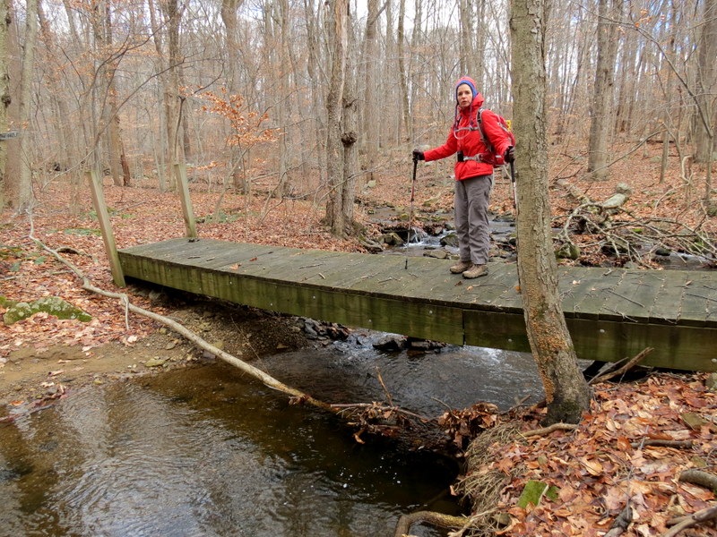
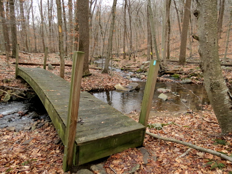
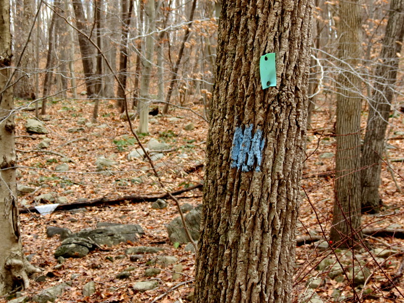
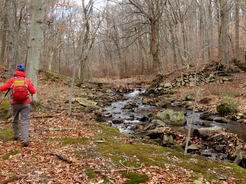
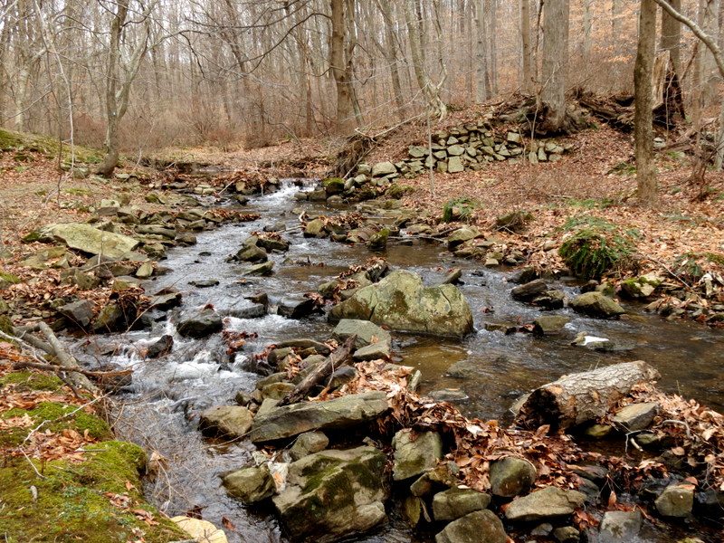
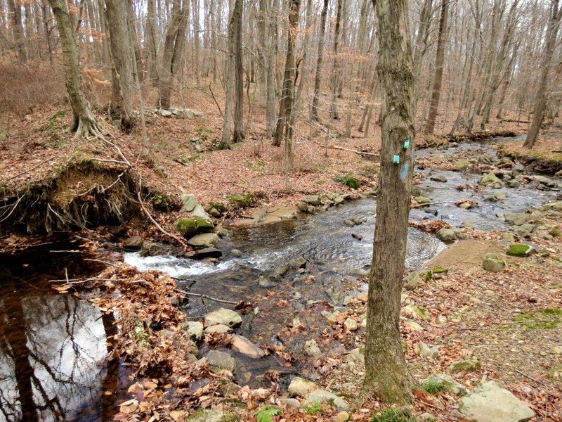
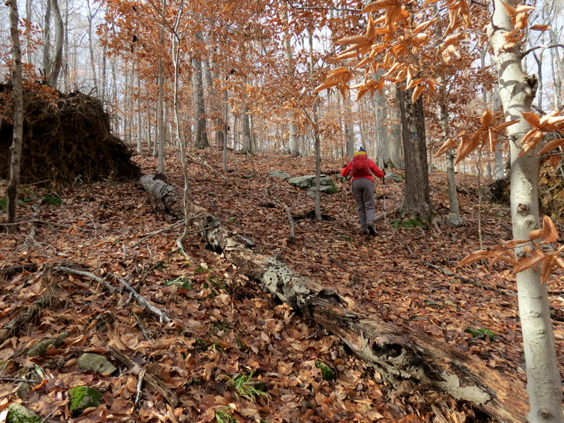
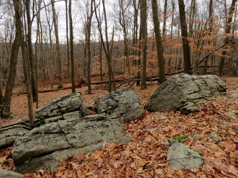
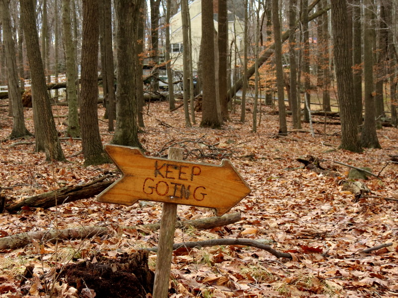
We parked at the cul-de-sac at the end of Willow Drive then headed into the forest, taking Blue north, then Yellow west and north until we came to where Yellow crosses Blue. The map shows that Blue continues here north, but the trail description on the Preserve's page describes Blue as ending here. We did manage to find a Blue blaze (and a sign on a partially downed tree pointing to South Road, which is where we wanted to go), but the path was unkempt and difficult to follow. I believe Blue is no longer supported between Yellow and South Road. Just keep the stream on your right and you'll be fine. Reaching South Road, with a nice parking area for at least three cars, we entered back into the forest following Red and again keeping the stream on our right. We took Red all the way to its end at its intersection with White. Here we took White west, then north along a beautiful boundary wall which serves to keep the stream from overflowing (it was quite unlike anything I've seen). At the end of White, we took Blue/Aqua (it's Blue on the map, Green in the hike description, but is blazed either blue or aqua depending on the tree) at the remains of an old dam. Climbing steeply, we reached the highest point in the park and then made our way back to the car. Total distance hiked today was 2.5 miles in about 90 minutes.
|
 |
 |
 |
 |
 |
 |
 |
 |
 |
 |
 |
 |
 |
 |
 |
 |
 |
 |
 |
 |
 |
 |
 |
 |
 |
 |
 |
 |
 |
 |
 |
 |
 |
 |
 |
 |
 |
 |
 |
 |
 |
 |
 |
 |
 |
 |
 |
 |
 |
 |
 |
 |
 |
 |
 |
 |
 |
 |
 |
 |
 |
 |
 |
 |

|
|
Photographs and content copyright © Dan Balogh Web design by Dan Balogh |