 |
|
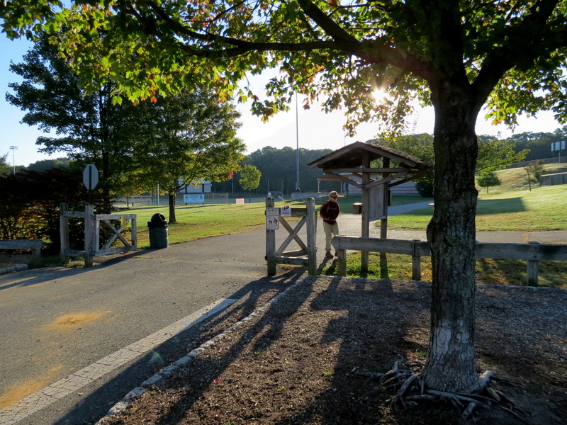
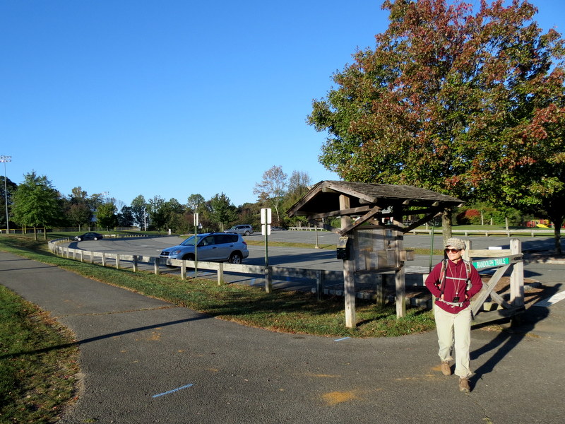
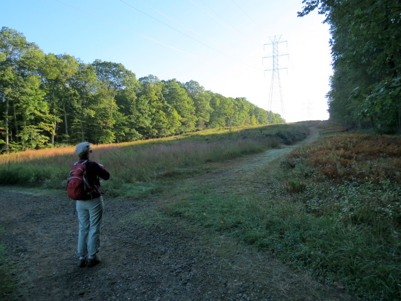
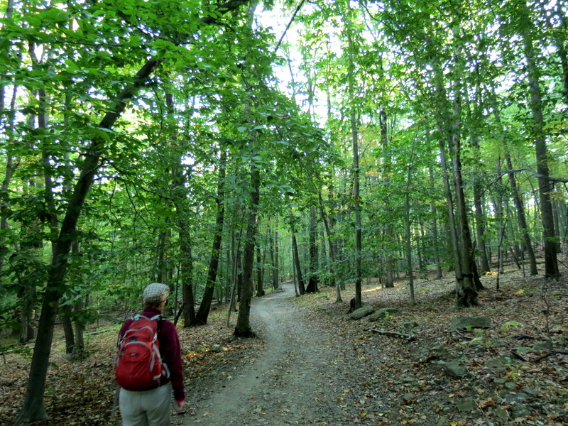
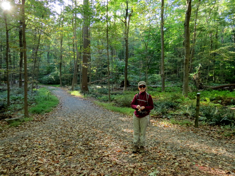
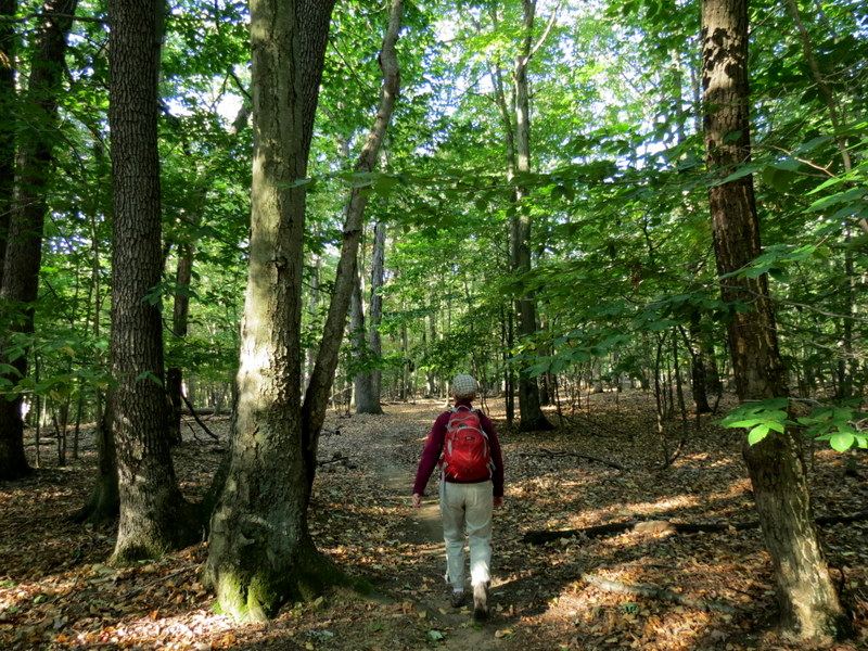
We had a couple of hours to squeeze in a hike this morning, a day we took off from work to do a few things that needed to be done, so we headed to this Randolph park, no more than
25 minutes from our house to explore some of the trails. There doesn't seem to be any map (official or otherwise) of this area, but I did find a few
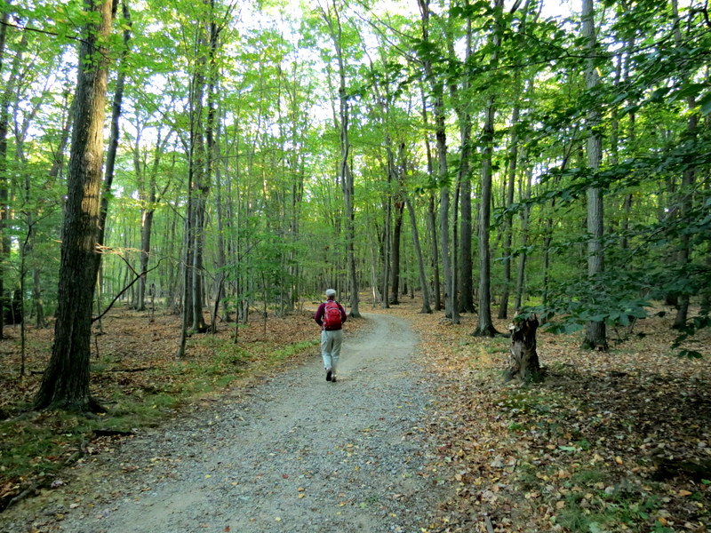
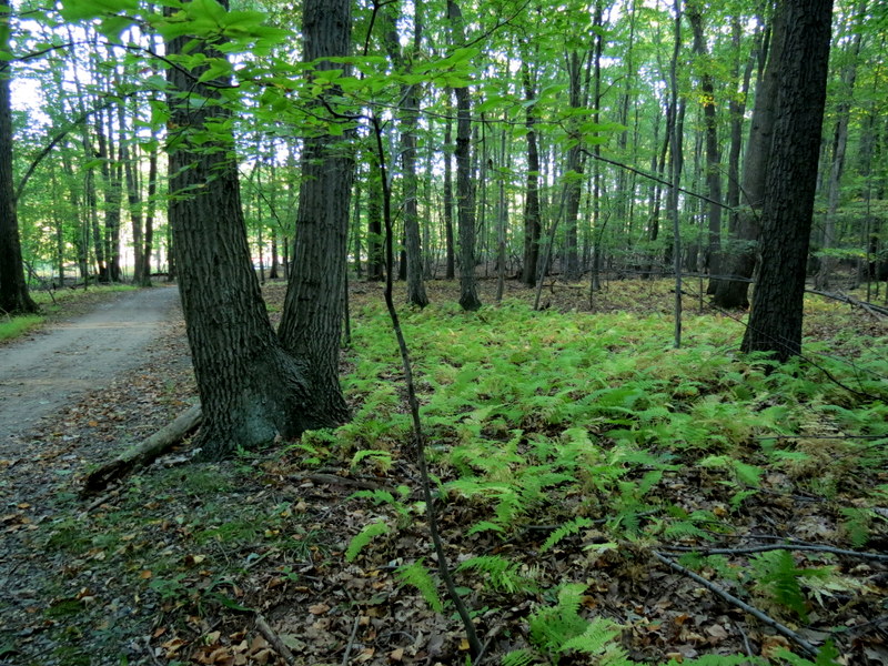
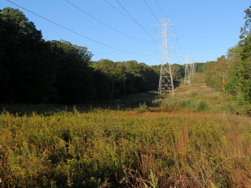
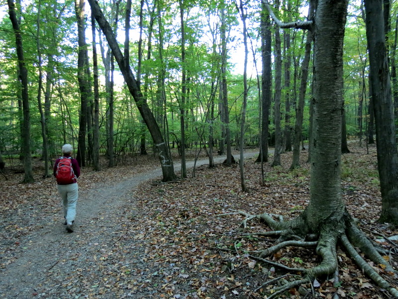
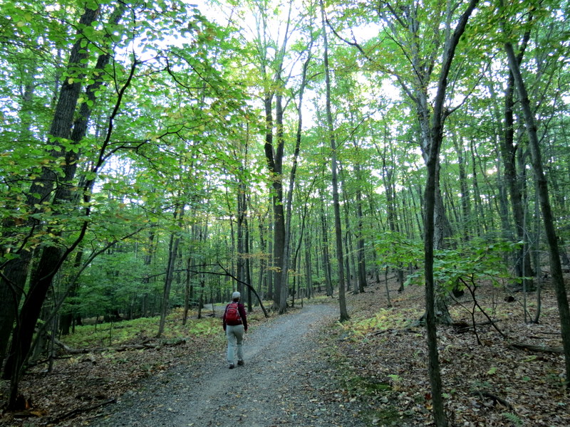
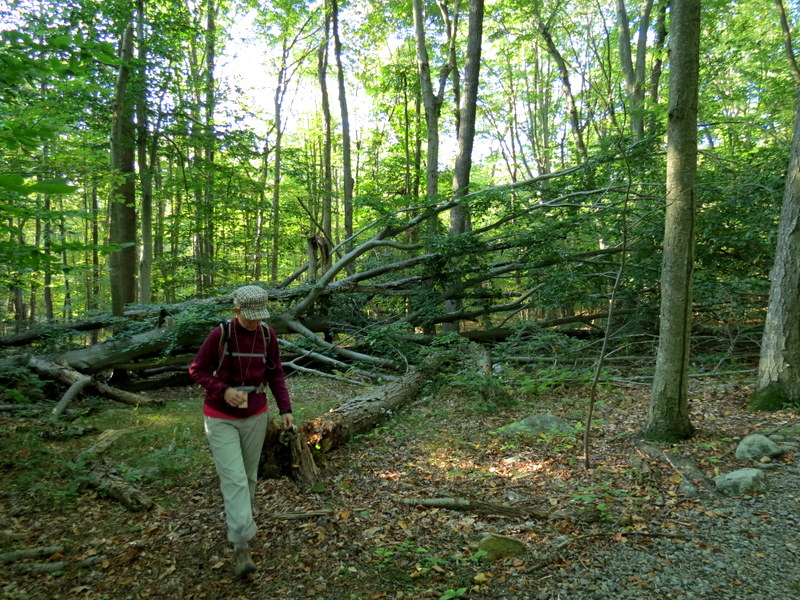
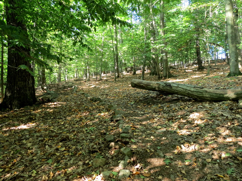
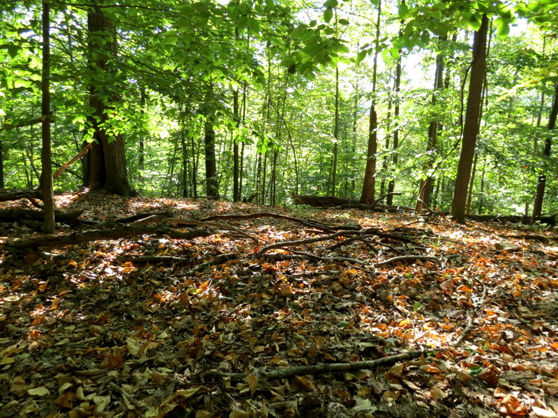
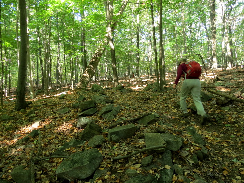
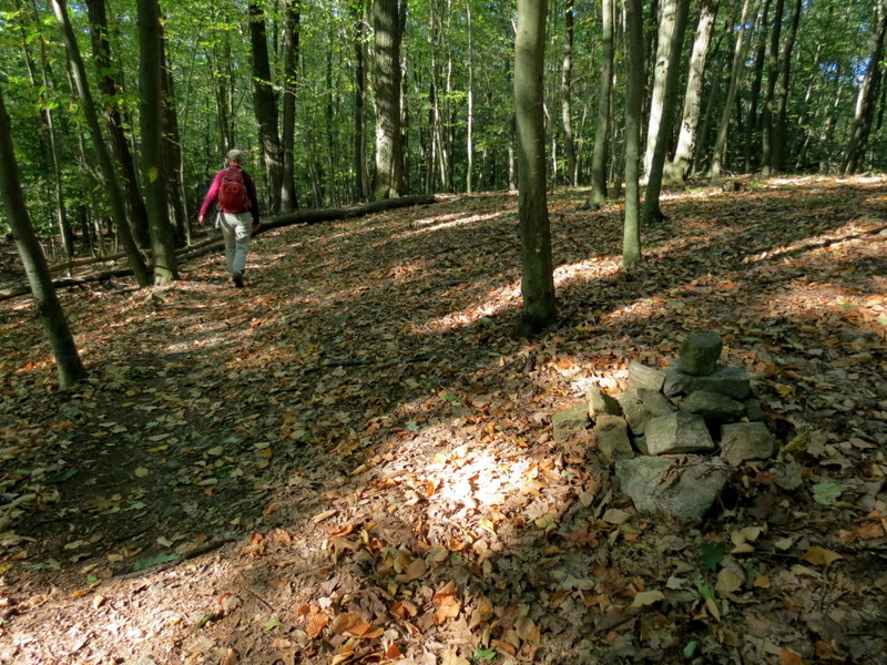
recorded hikes using various iPhone apps. Most of the trails have a gravel surface, a tiny percentage is paved and there is at least one forest trail completely wild and mostly
unblazed.
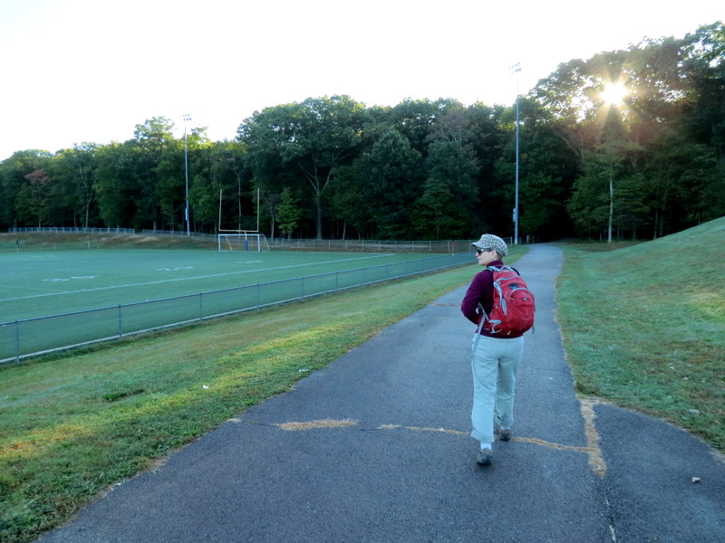
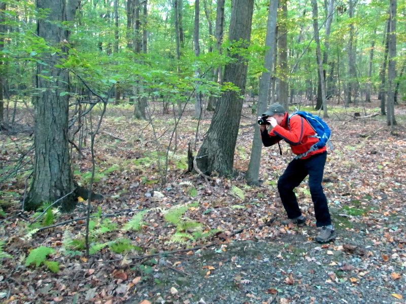
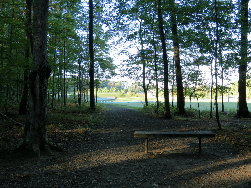
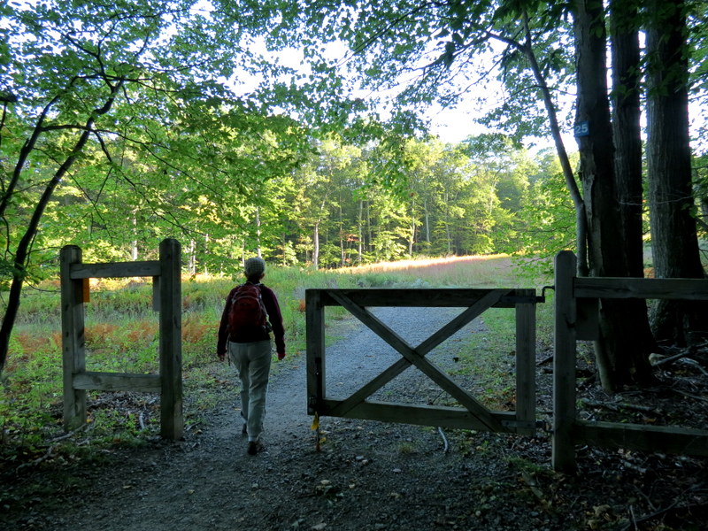
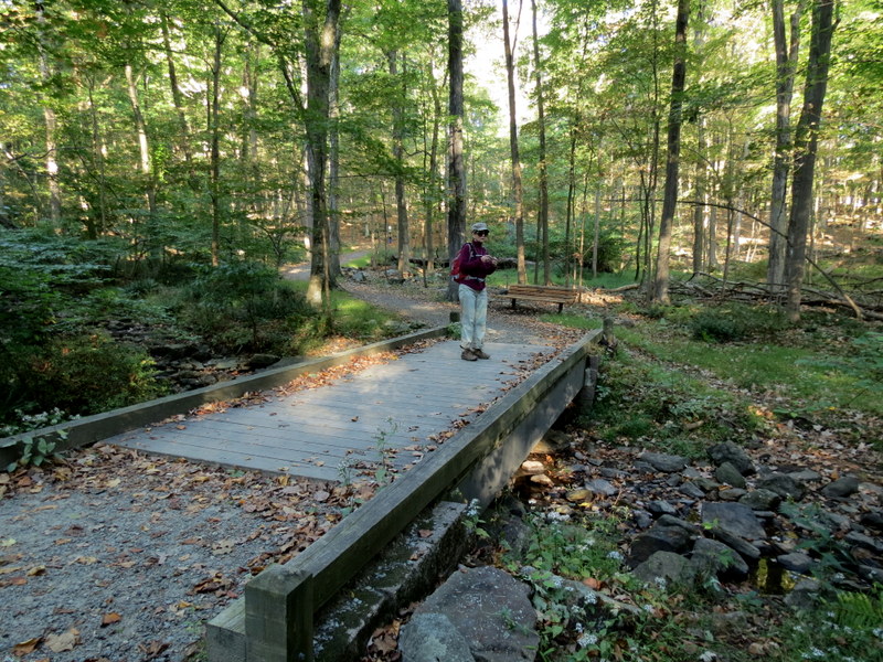
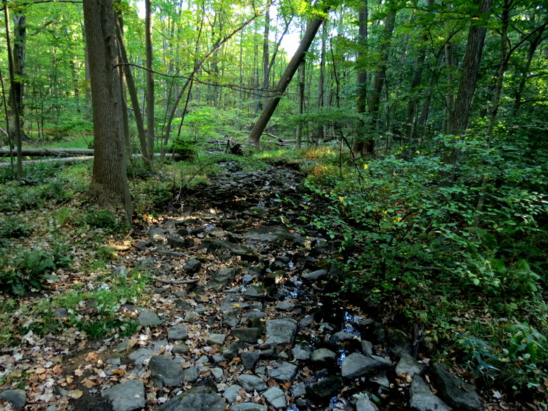
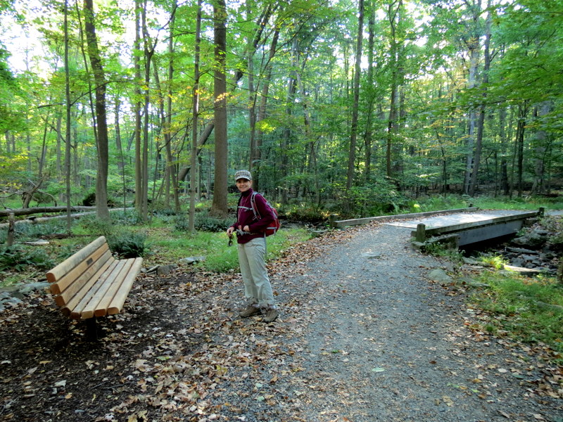
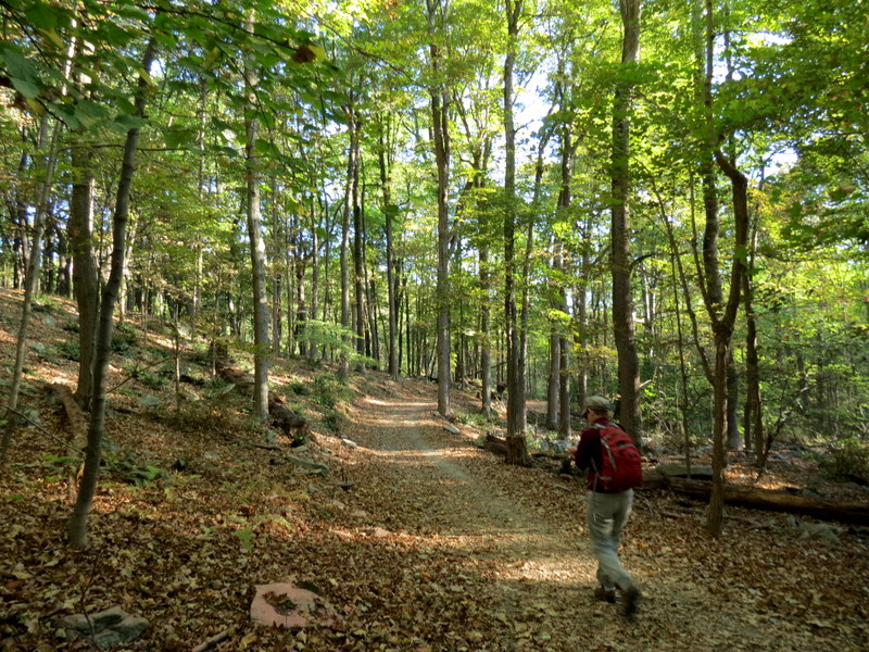
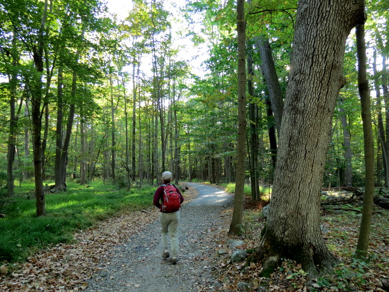
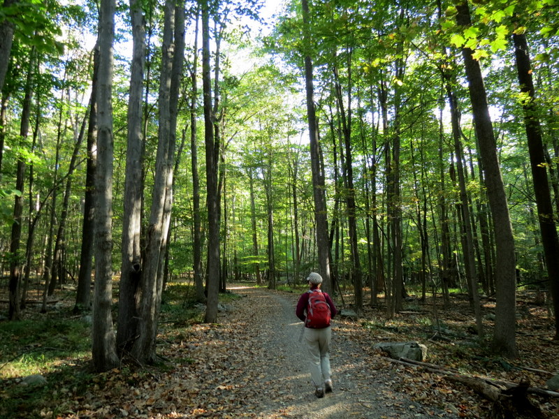
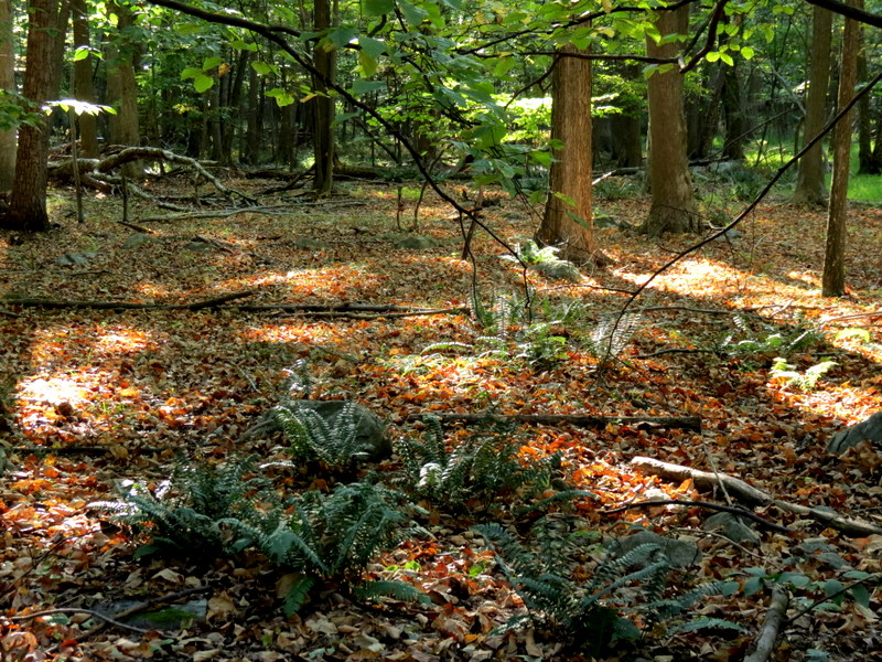
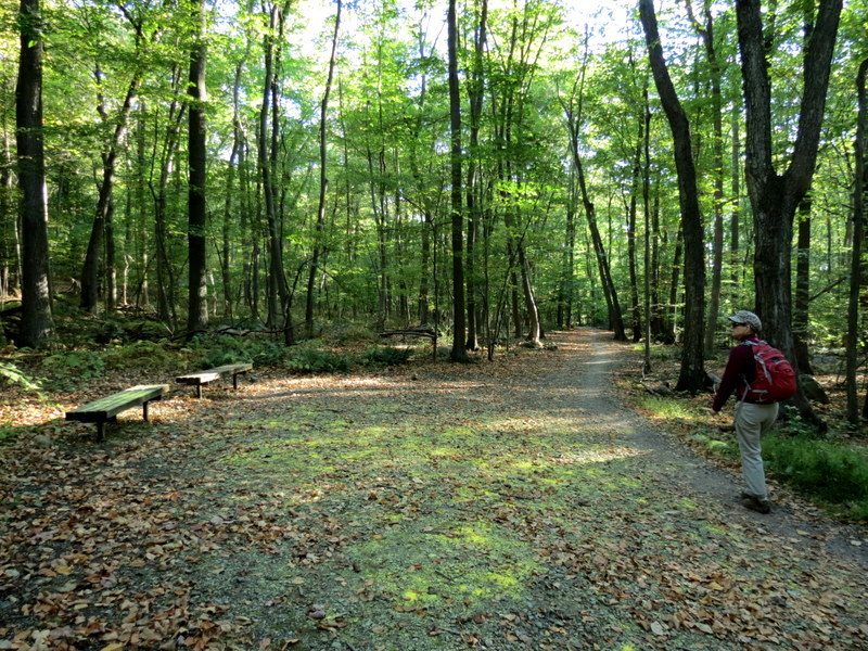
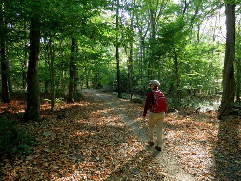
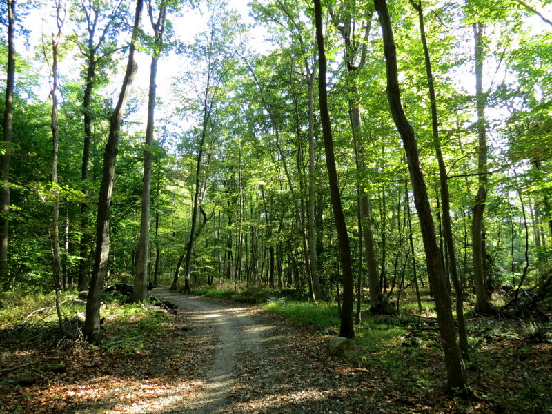
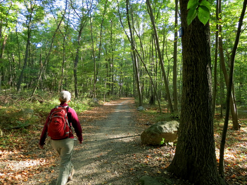
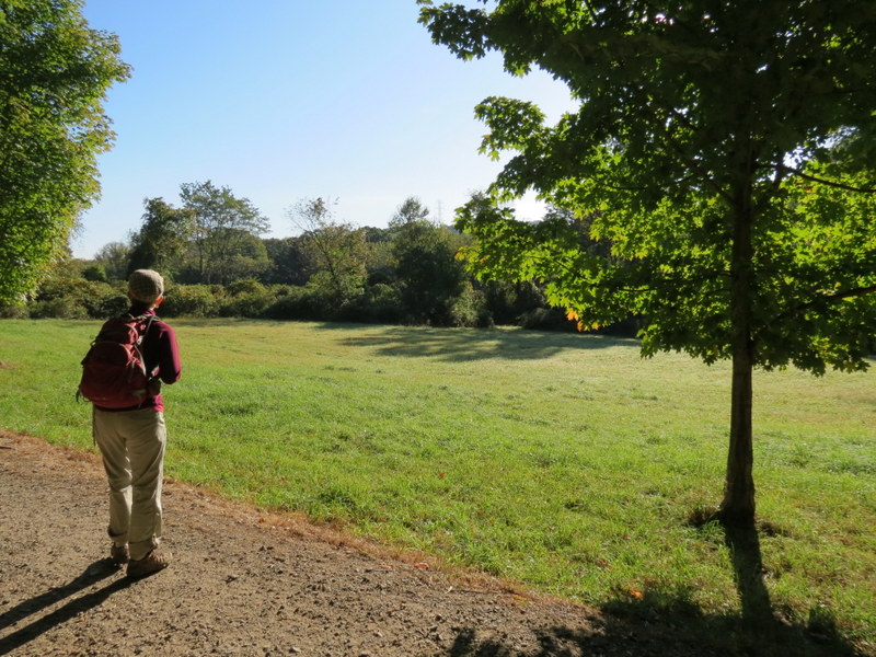
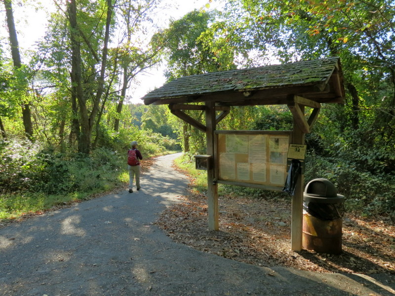
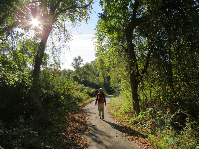
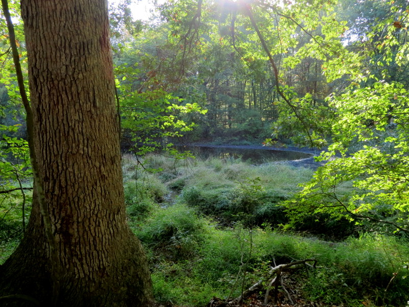
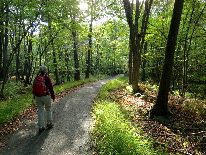
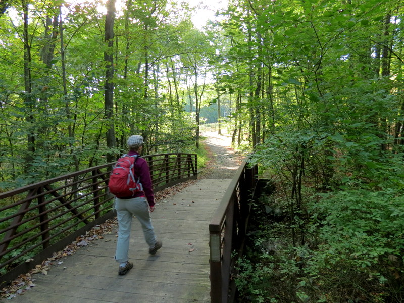
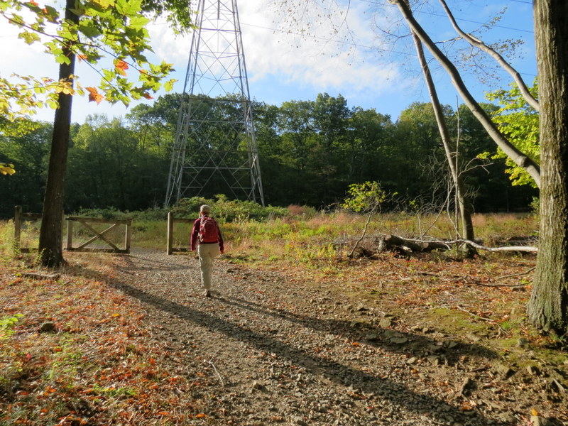
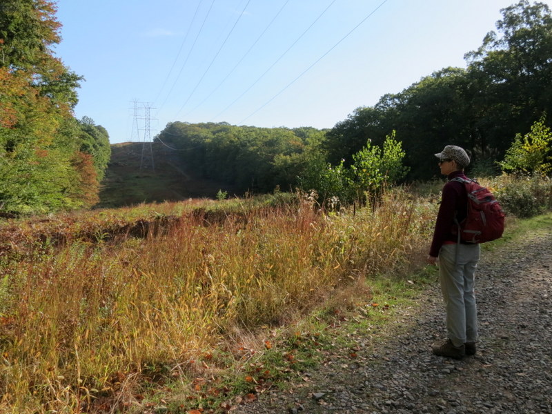
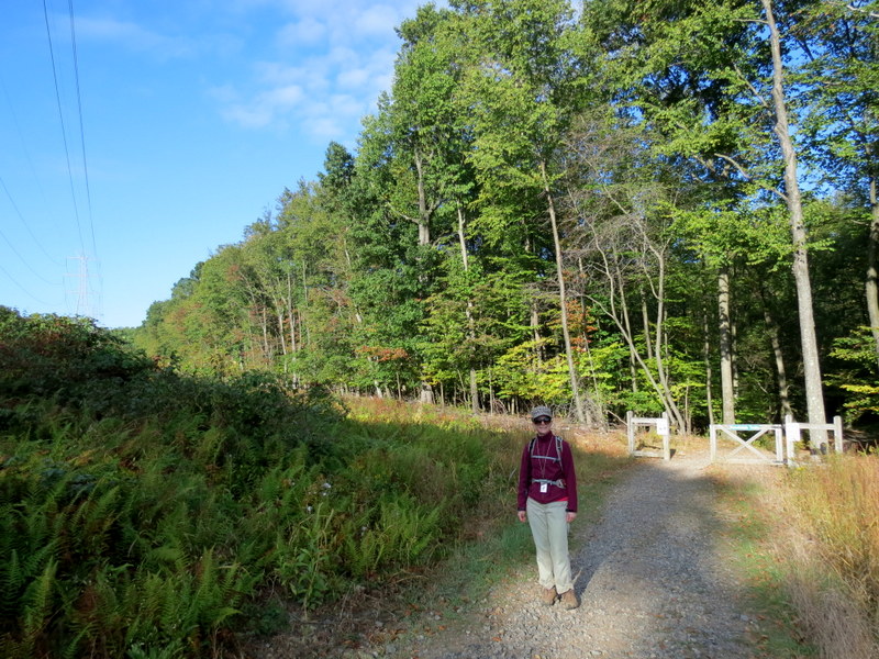
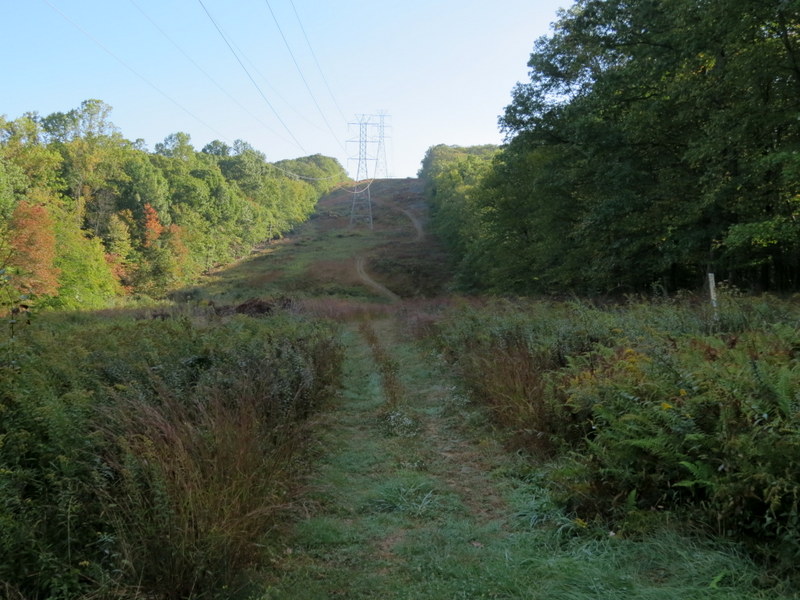
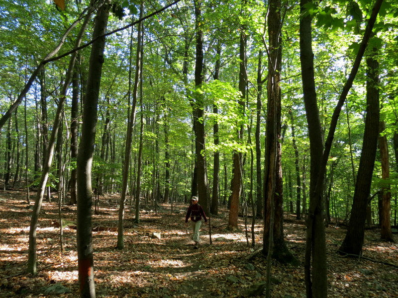
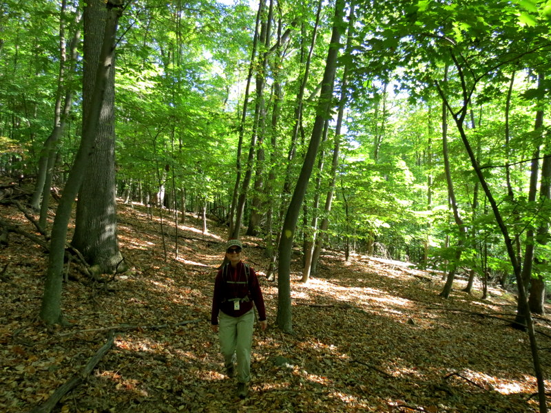
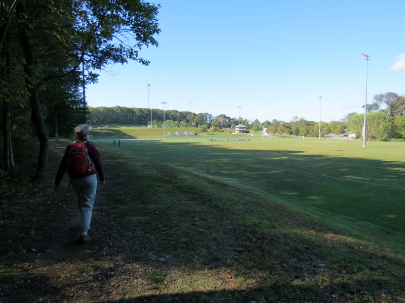
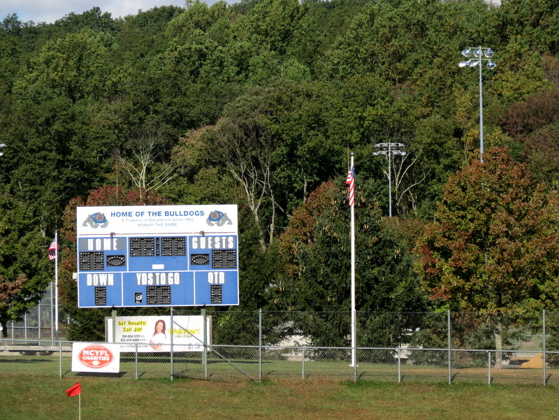
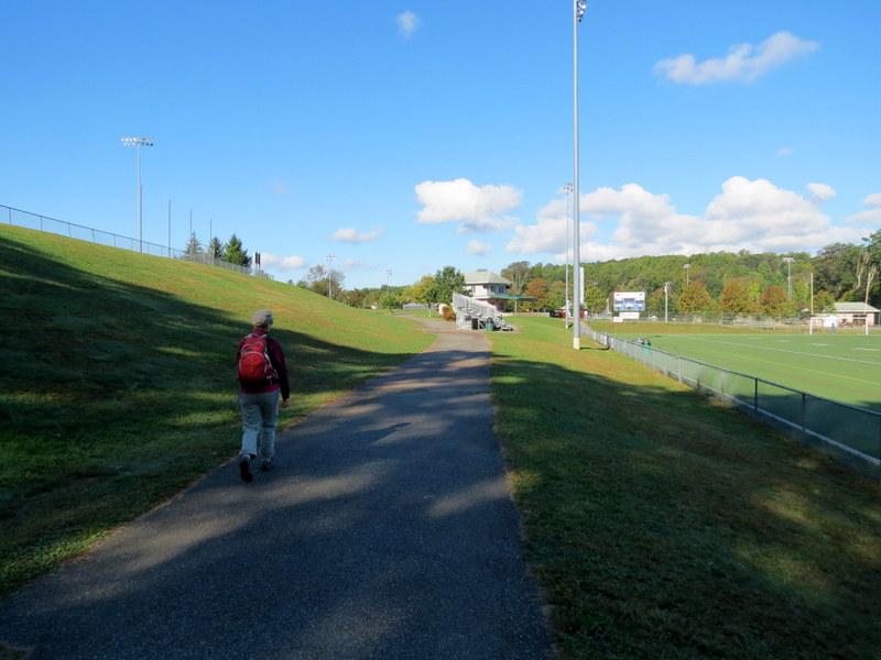
You can see our track here. We parked in the huge lot (it's a built-up park with lots of sports fields), and headed into the woods on asphalt, which quickly became gravel in the woods. The western leg of this lollipop is mostly gravel, but traverses a beautiful forest. The eastern leg is totally woods, the kind we are all used to, and somewhat blazed, though not officially. Total distance hiked was about 3.6 miles in about 90 minutes.
|
 |
 |
 |
 |
 |
 |
 |
 |
 |
 |
 |
 |
 |
 |
 |
 |
 |
 |
 |
 |
 |
 |
 |
 |
 |
 |
 |
 |
 |
 |
 |
 |
 |
 |
 |
 |
 |
 |
 |
 |
 |
 |
 |
 |
 |
 |
 |
 |
 |
 |
 |
 |
 |
 |
 |
 |
 |
 |
 |
 |
 |
 |
 |
 |

|
|
Photographs and content copyright © Dan Balogh Web design by Dan Balogh |