 |
|
Today we headed to the Wildcat Ridge WMA, a very rugged area just about 20 minutes from where we live. We have hiked in this area several times in the past but with last
year's publication of the NYNJTC Map #125 in the Jersey Highlands set, many new trails, unmaintained paths and woods roads were opened to us.
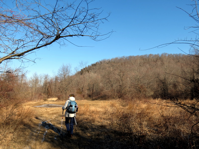
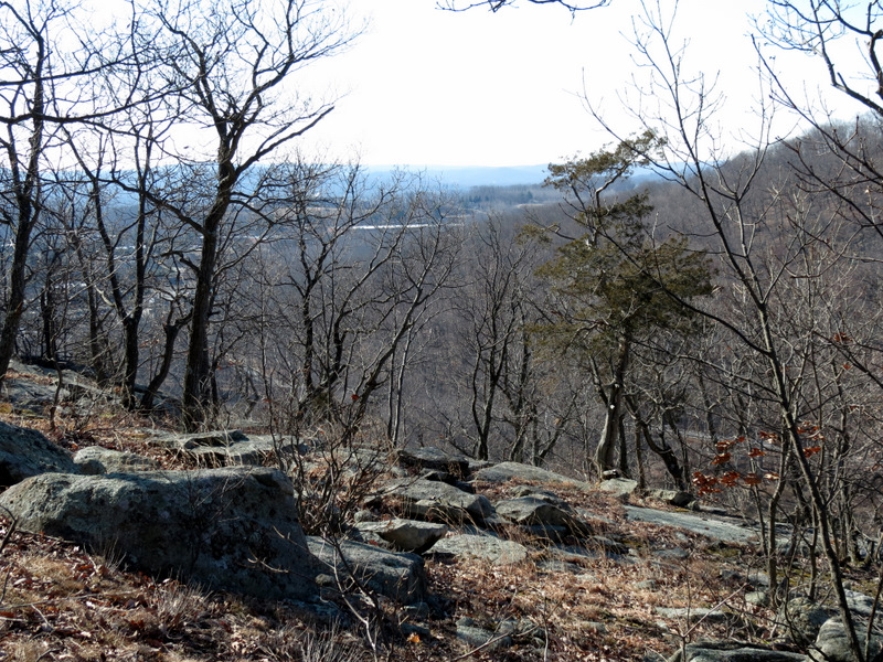
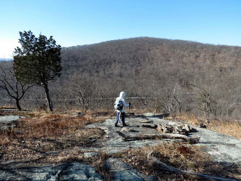
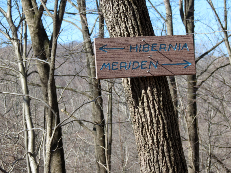
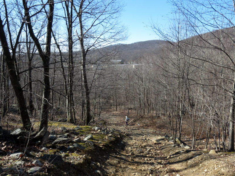
We parked at the small pull-off on the west-bound side of Meriden Road, just 0.2 miles east from Route 513 (Green Pond Road) and headed north on a woods road soon joining with the blue-blazed Beach Glen trail which (at the fork) we took left heading north. Soon Graffiti Cliffs loomed above us to the right, though the tree cover hid much of the graffiti, which is probably most noticeable from Route 513. We passed the cliffs and then headed east on a woods road which climbed steadily to the mountain ridge. Eventually we got to the white-blazed Four Birds trail, which we took southeast. Though the map doesn't show it, the path to Graffiti Cliffs is reached from this trail via a yellow-blazed trail (not an unmaintained trail as the map indicates). Granted, the blazing is relatively sparse in spots, but it's quite easy to get to the cliffs, which afford incredible 180-degree views. After taking in the views we headed back east but took a more eastern path back to within 100 yards of the Four Birds Trail, at which point we made a sharp right onto another woods roads which descended very steeply for much of its extent. At the bottom we made a right on blue (same trail as earlier) which we then took back to the car. Total distance hiked today was 4.6 miles, in less than 3 hours.
|
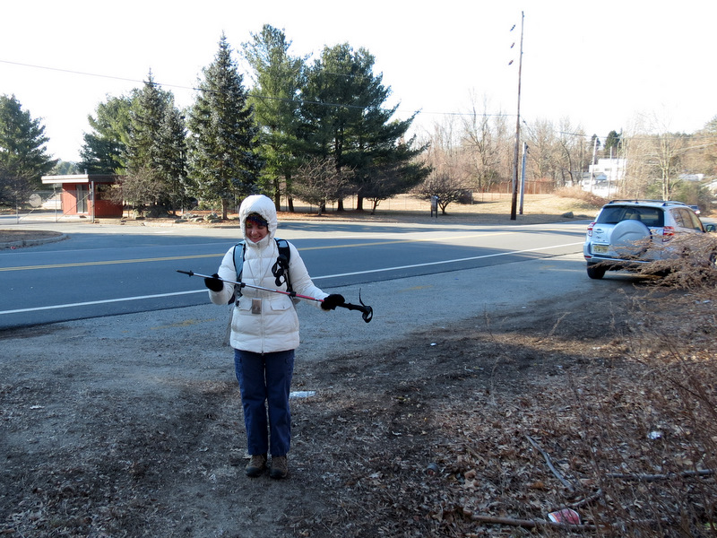 Pull-off on Meriden Road |
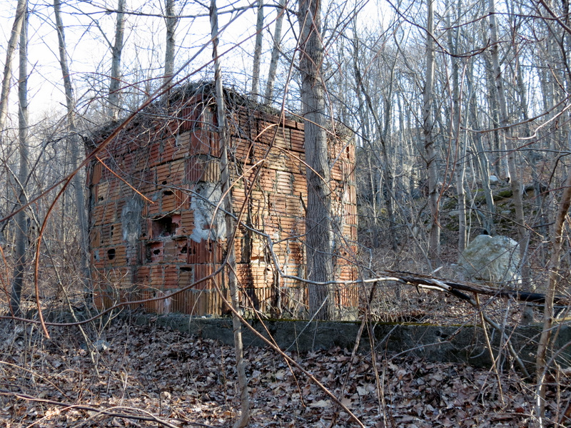 Ruins on woods road |
 [Photo by Laura] |
 Graffiti Cliffs looms ahead |
 Blaze |
 View west |
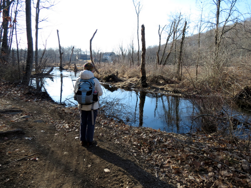
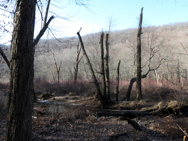
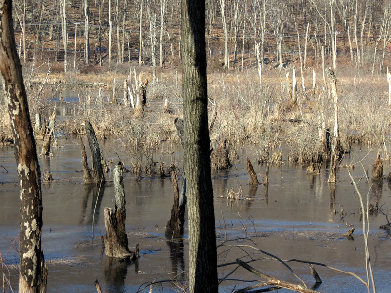 Views of swamp ... |
 ... off trail |
 Views of of ... |
 ... waterway west ... |
 ... of trail |
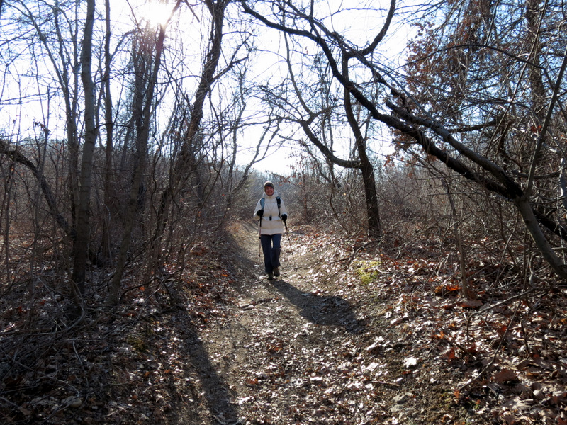
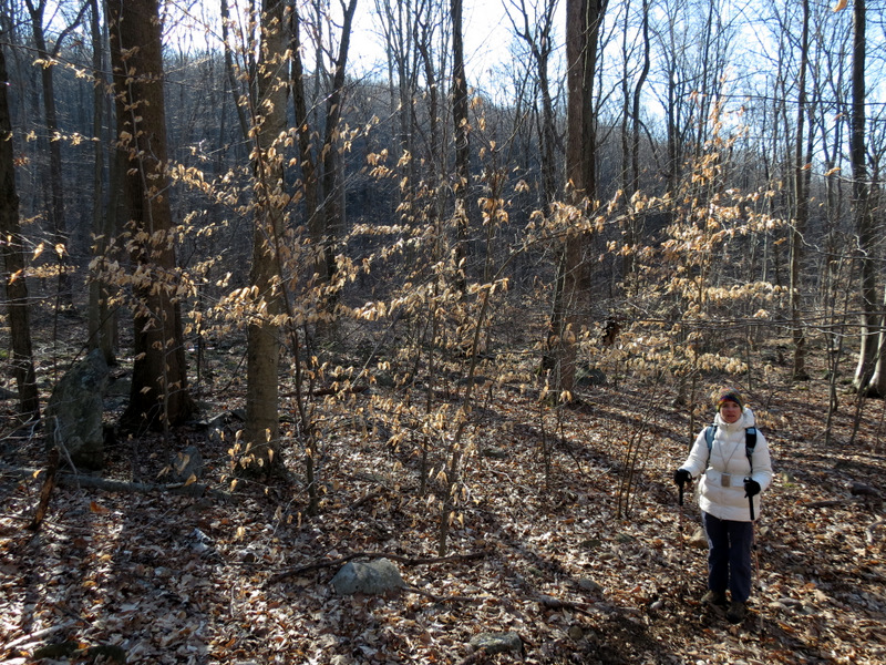
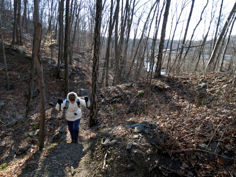 Climbing on Beach Glen |
 Atop a winding berm |
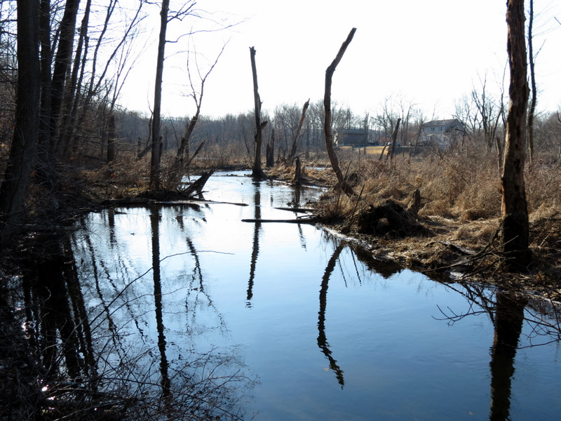
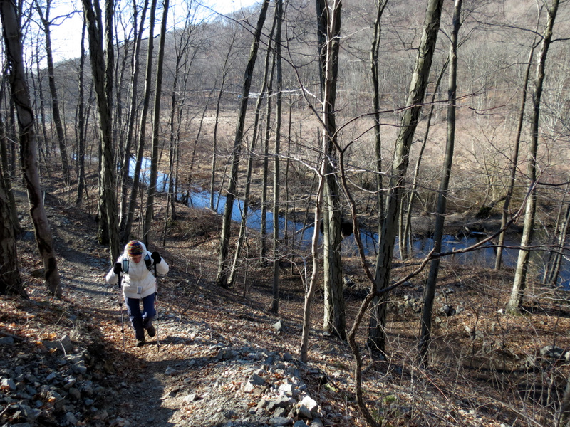 Waterway below |
 Back to ... |
 ... water level |
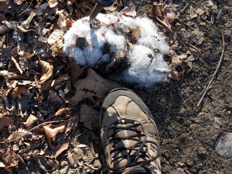 Furry remains |
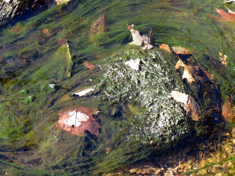
 Stream ... |
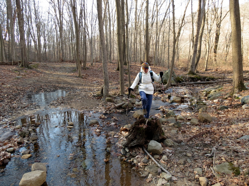 ... crossing |
 More ruins |
 View north |
 View south |
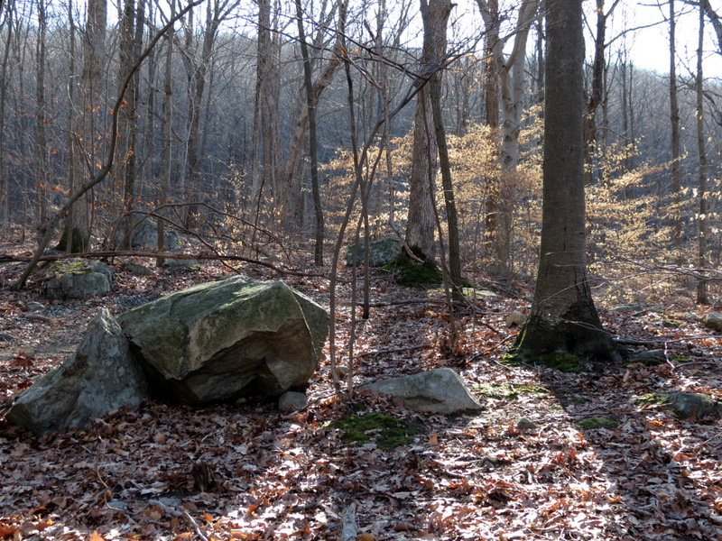 Winter color |
 |
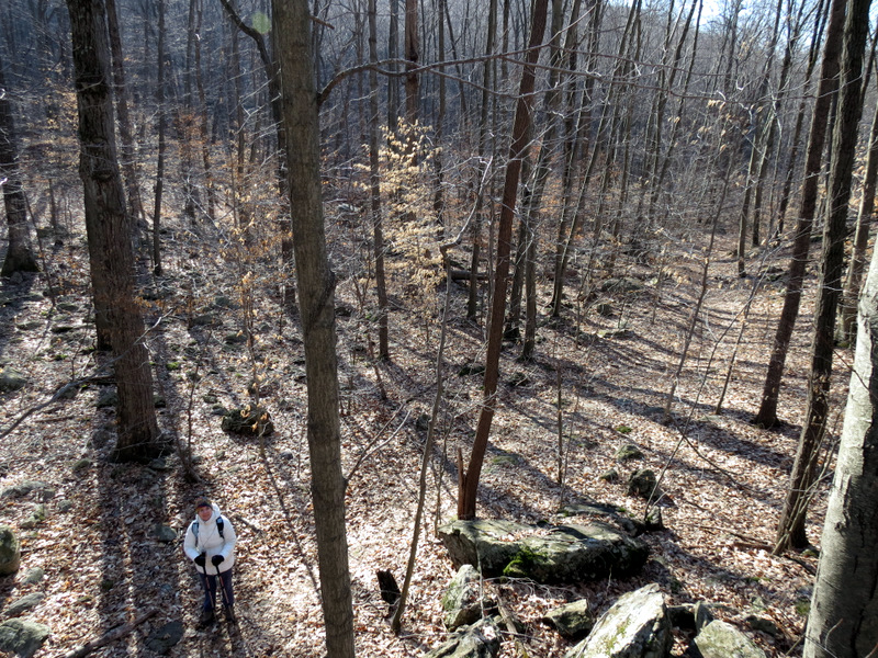 View from above |
 [Photo by Laura] |
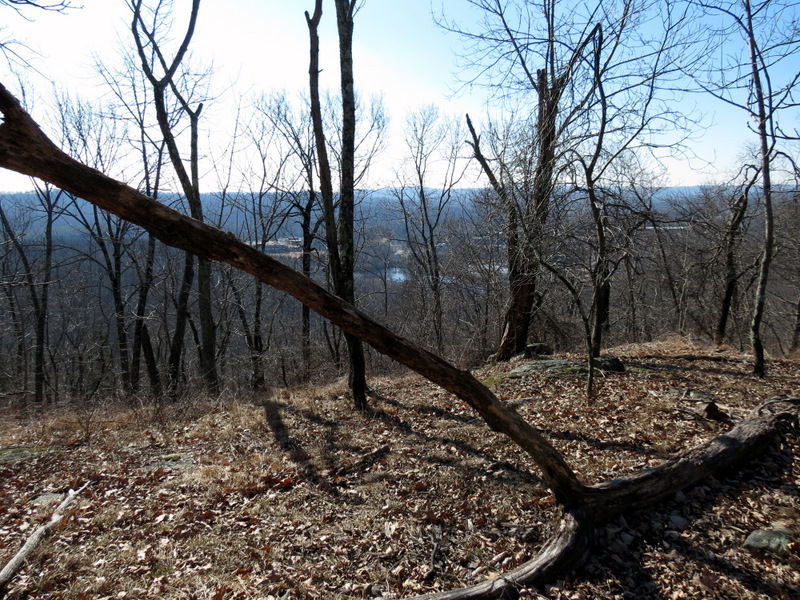
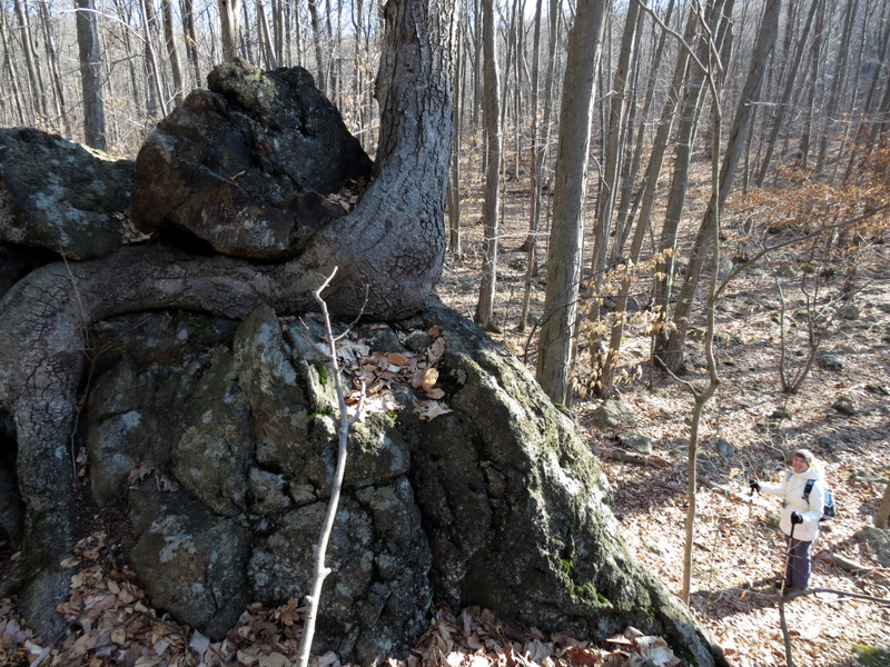 How did that tree grow? |
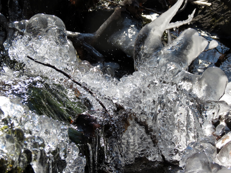
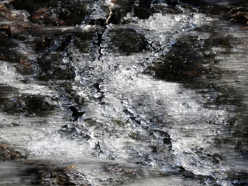
 Icy cascade |
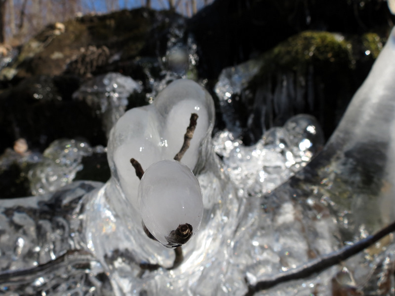 Natural ... |
 ... ice sculptures |
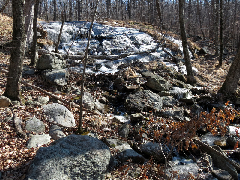
 Icy whaleback |
 |
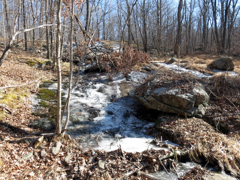
 Frozen waterfall |
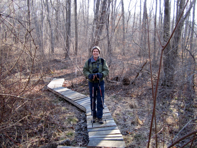
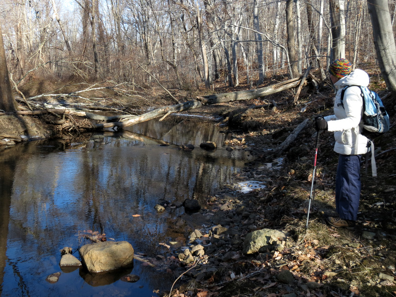
 Stream crossing |
 |
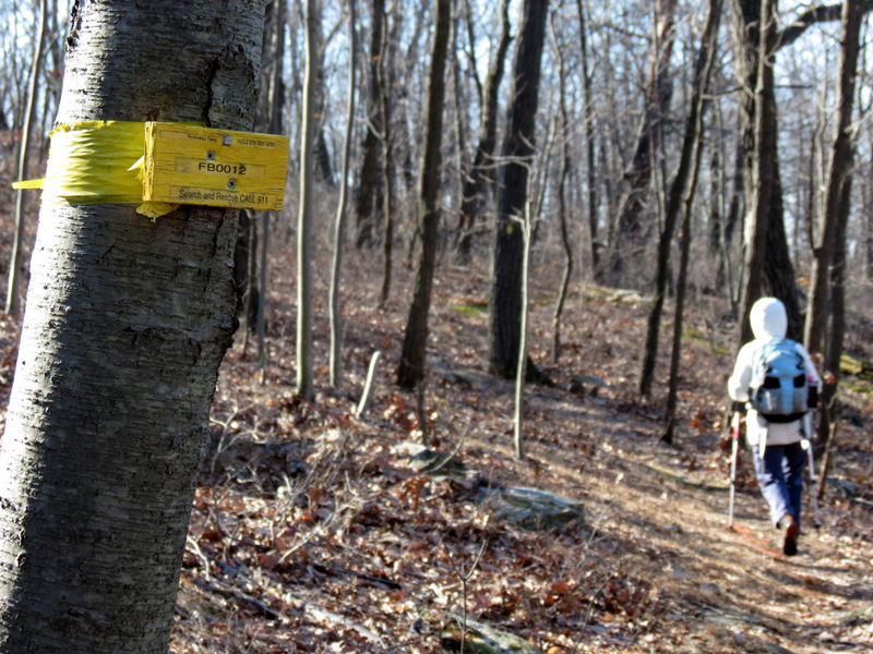 Heading south on Yellow |
 Seasonal views |
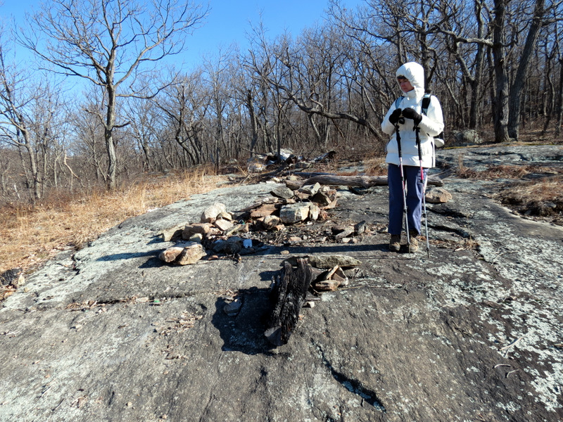
 Cairn to Graffiti Cliffs |
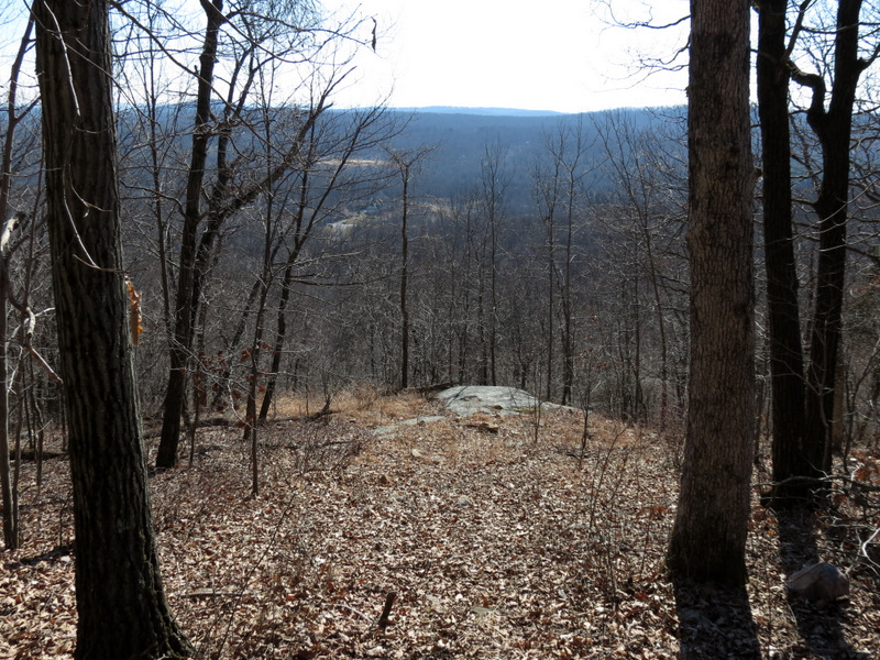
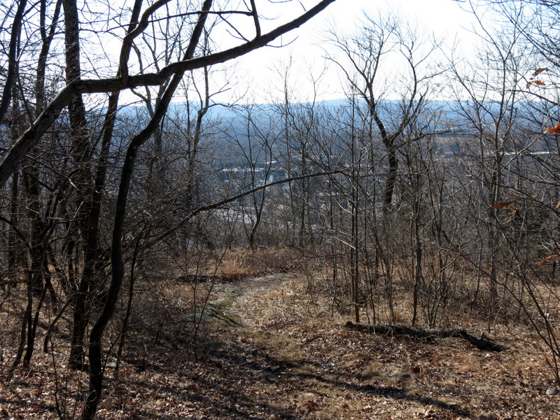 Partial views ... |
 ... south |
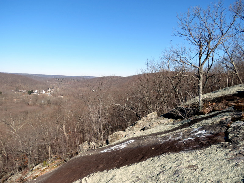
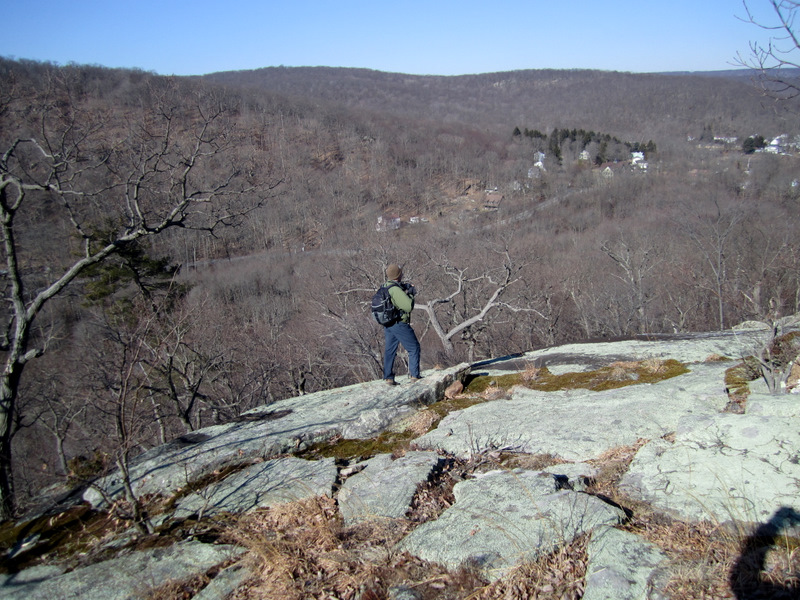
 Arriving at ... |
 ... Graffit Cliffs |
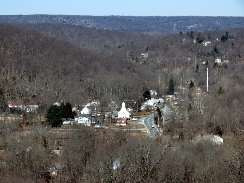
 View SW |
 Green Pond Road |
 Some graffiti |
 [Photo by Laura] |
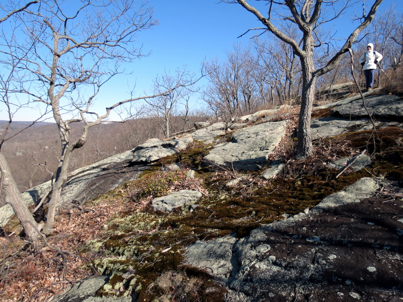 Clean Graffiti Cliffs |
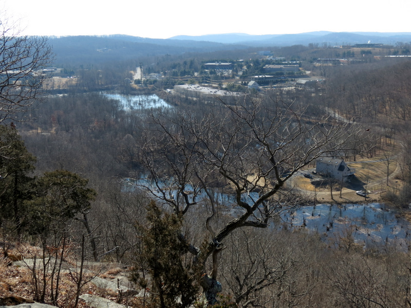
 View SE |
 |
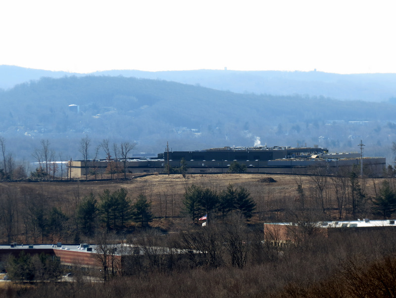
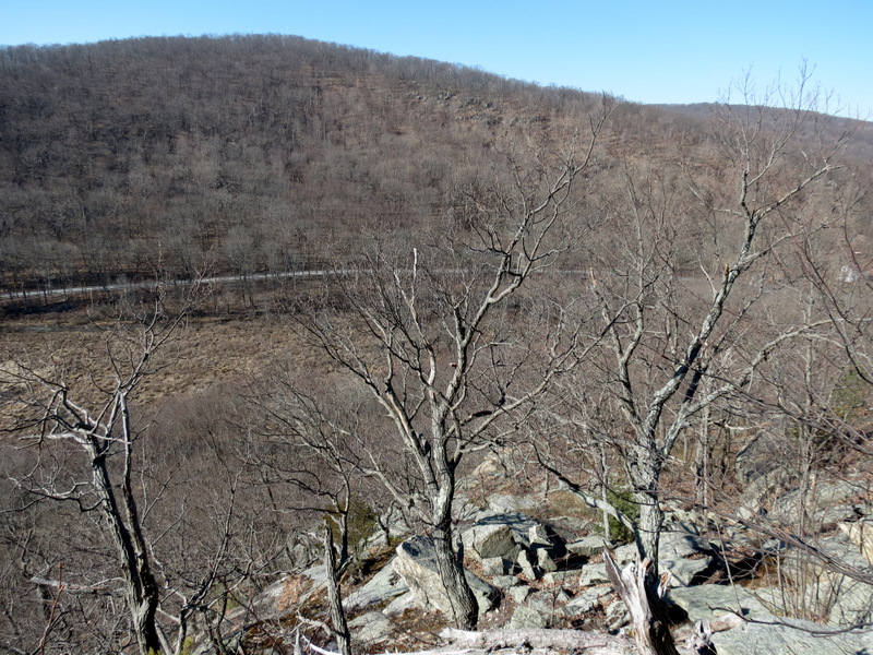 Mountain across Green Pond Road |
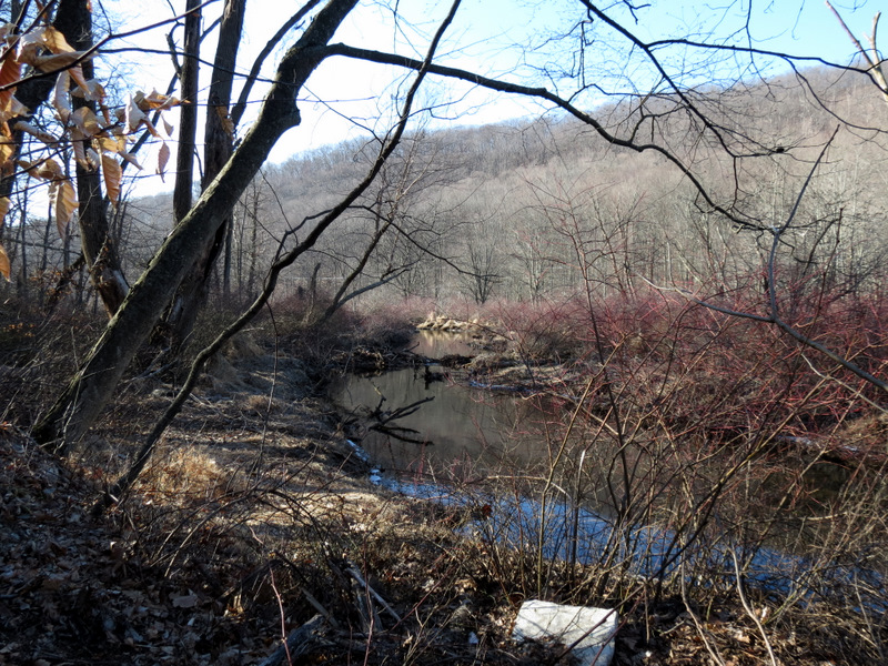
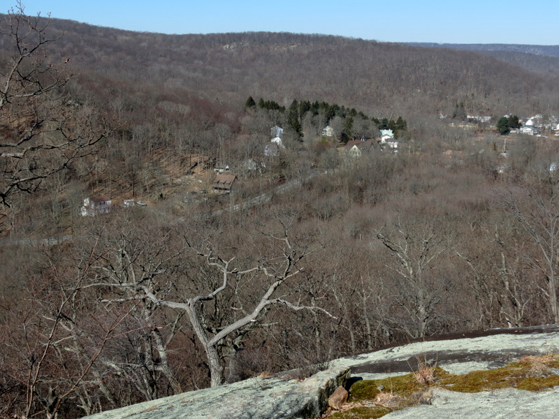
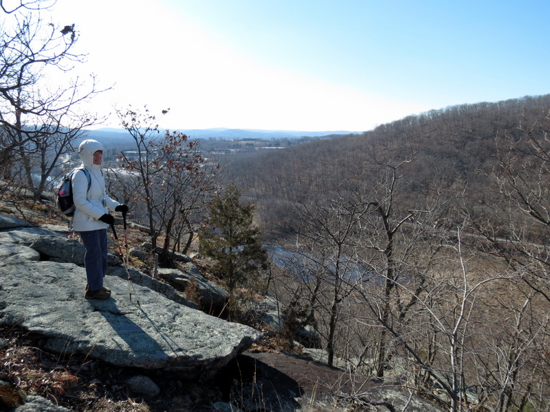
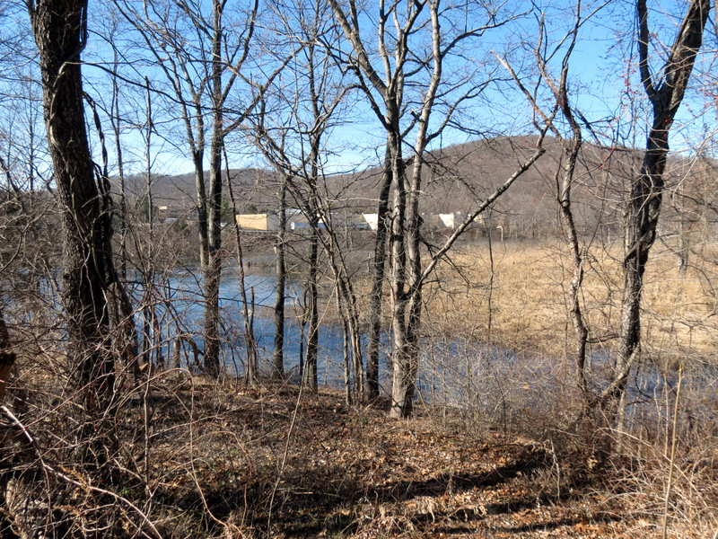
 View to earlier swamp ... |
 ... from cliffs [photo by Laura] |
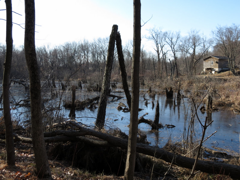
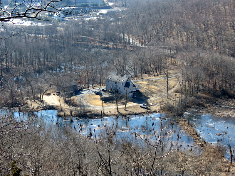 House near ... |
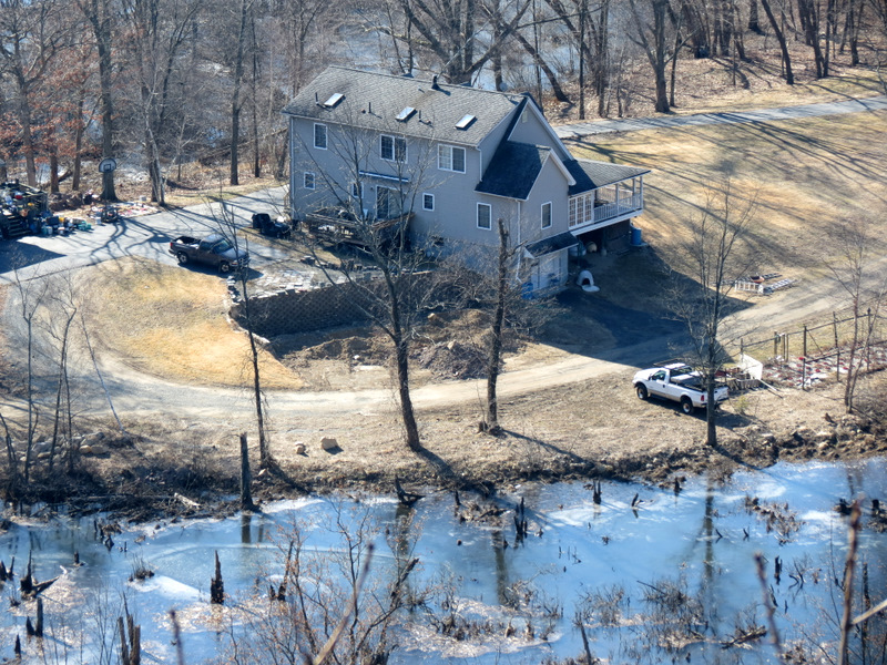 ... swamp |
 View SE |
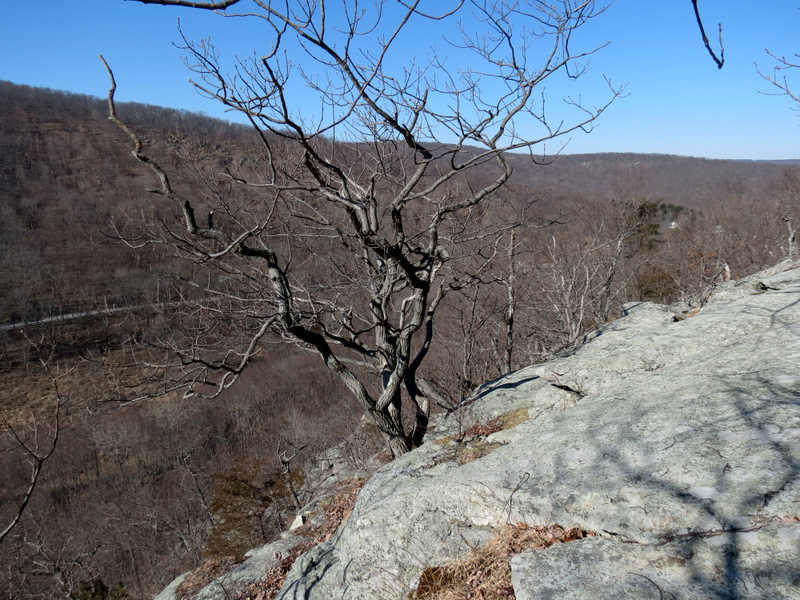 Cliffs SW |
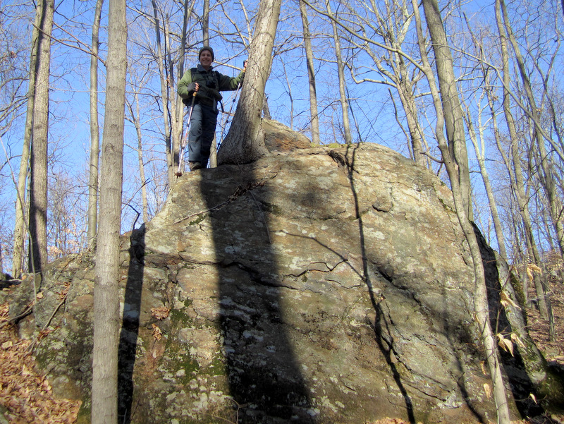
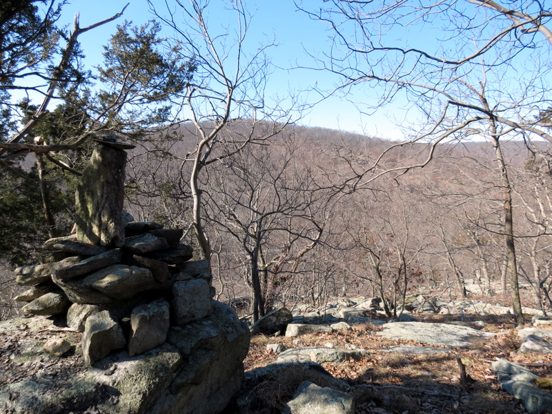 Giant cairn at cliffs |
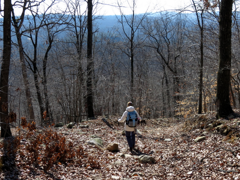 Descending steep road |
 View south |
 |
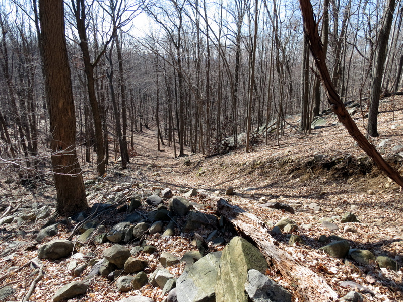 Very steep ... |
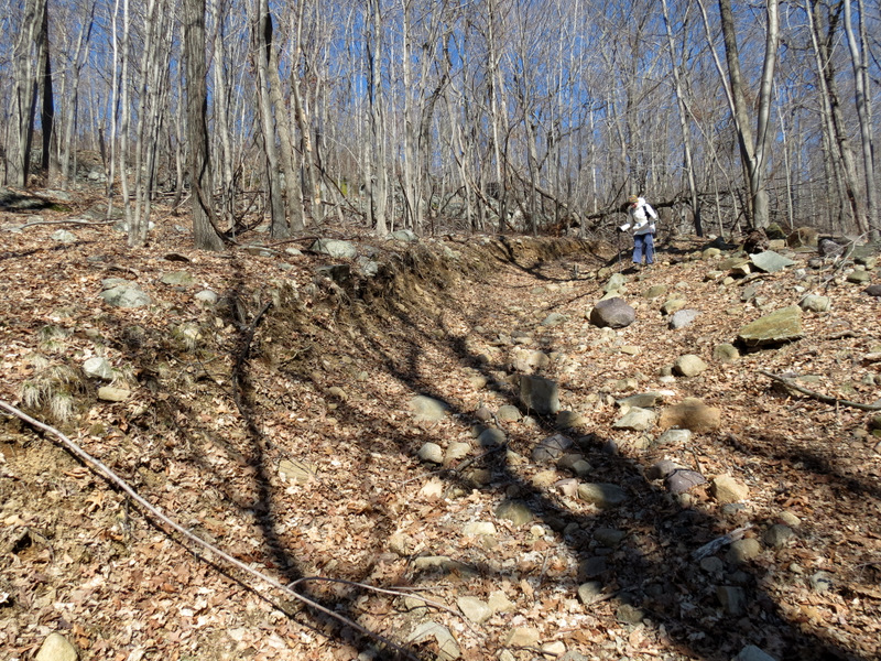 ... and eroded |
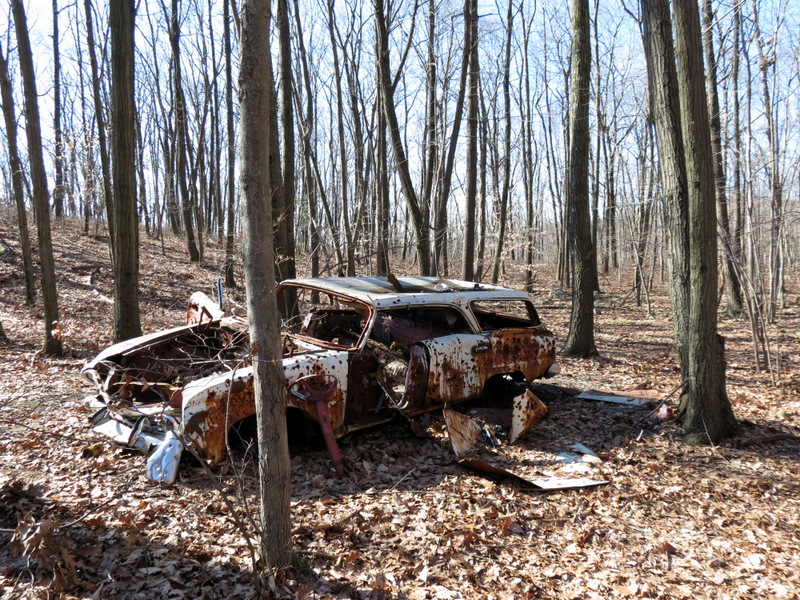 Station wagon |
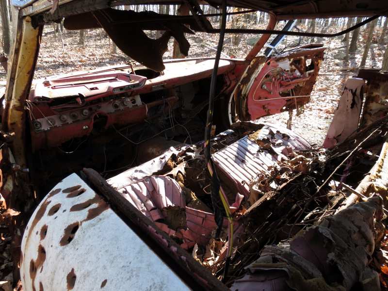 Dashboard |
 |
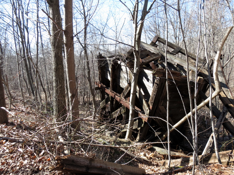 Ruins of shed |
 View west |
 Taking a break near ruins |
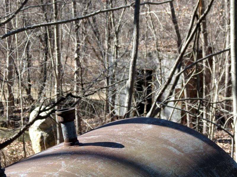 Tank closeup |
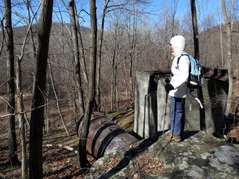 Tank and building ruins |
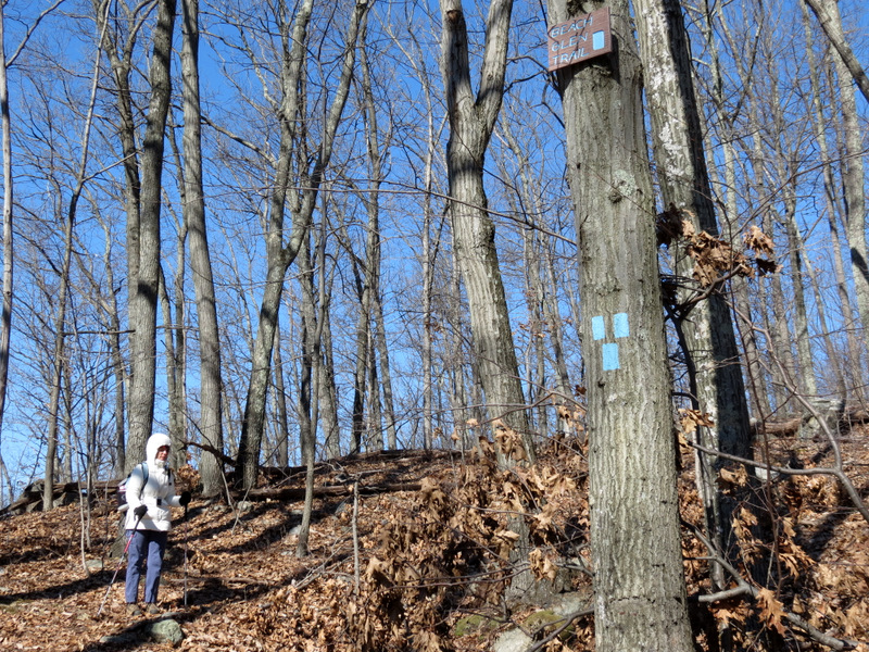 Beach Glen trailhead |
 Waterway near trailhead |

|
|
Photographs and content copyright © Dan Balogh Web design by Dan Balogh |