 |
|
Last week we did the northern section of this park in the Delaware Water Gap area of Pennsylvania. And we were wowed by that hike. Amazingly, this one was even better!
Today we saw two waterfalls, including the tallest in Pennsylvania and apparently only four feet shorter than Niagra. We walked around the lake that we merely visited last
week, and enjoyed more breathtaking views from the ridge of the mountain, this time covering the southern half of the Cliff Trail.
Following this map, we parked in the small Raymondskill Falls lot and headed down to that falls before backtracking to the car, crossing over Raymondskill Road and then taking the Hackers Trail to Hackers Falls. Continuing on that trail we made a right on the Buchanan Trail and then a left on the Pond Loop trail and looped around the pond. Back to the Buchanan trail we made a left and climbed to the Cliff Trail where we passed amazing views from spur trails and visited the two viewpoints on the map. We wanted to take the Cliff Trail back to the car but turned accidently onto the Logger Path which ended at the Hackers Trail, which we then took back to the car. But before that, we followed a narrow trail along the ridge (not on the map) all the way to the northern tip, with wonderful views the entire way, before backtracking to where we got on the Loggers Trail. Total distance hiked today was 5.4 miles in about 3 hours. (Click on the thumbnail to bring up a bigger image in a pop-up window)
|
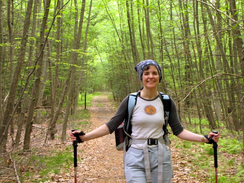
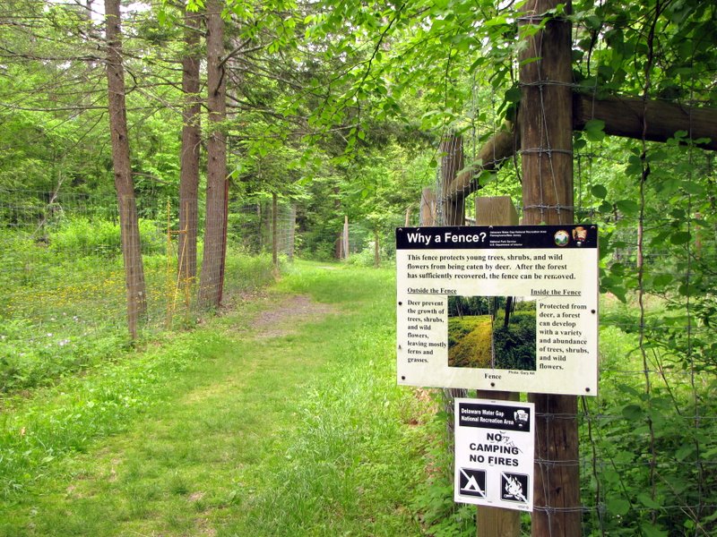 Trail head to Raymondskill Falls |
 |
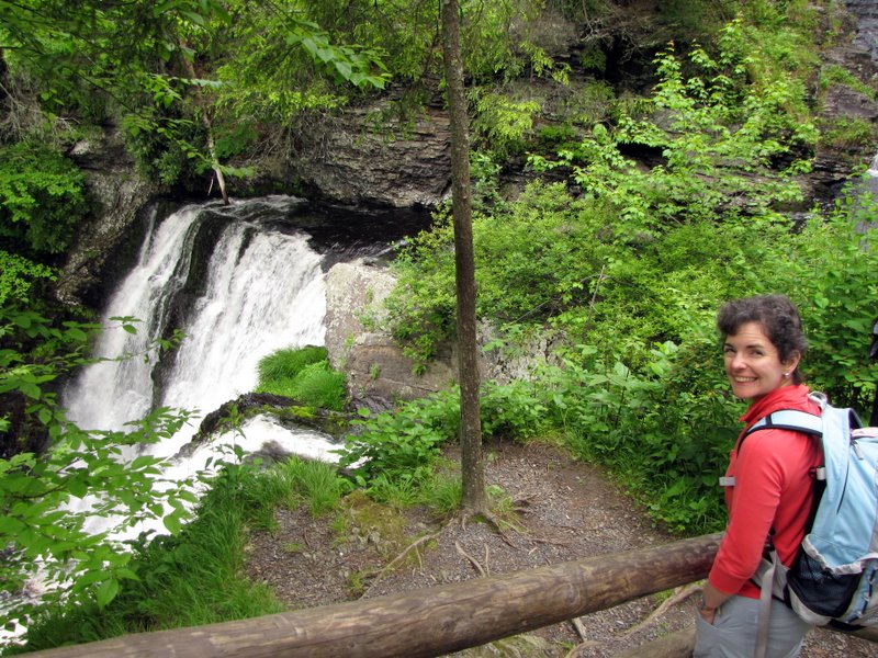
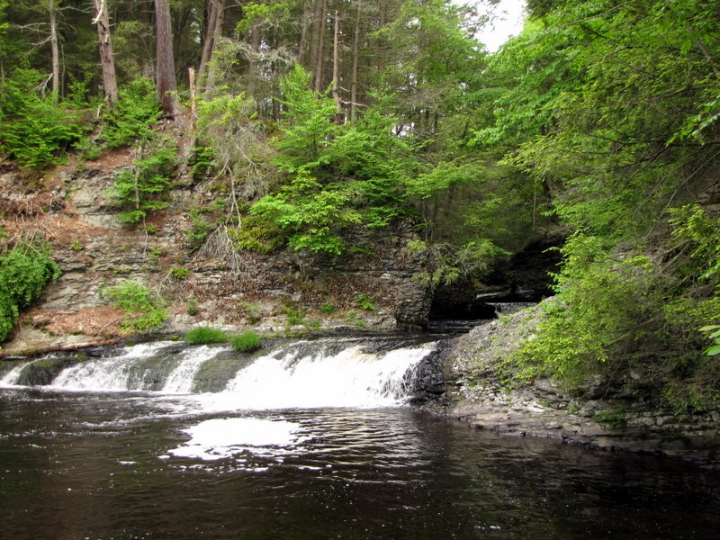
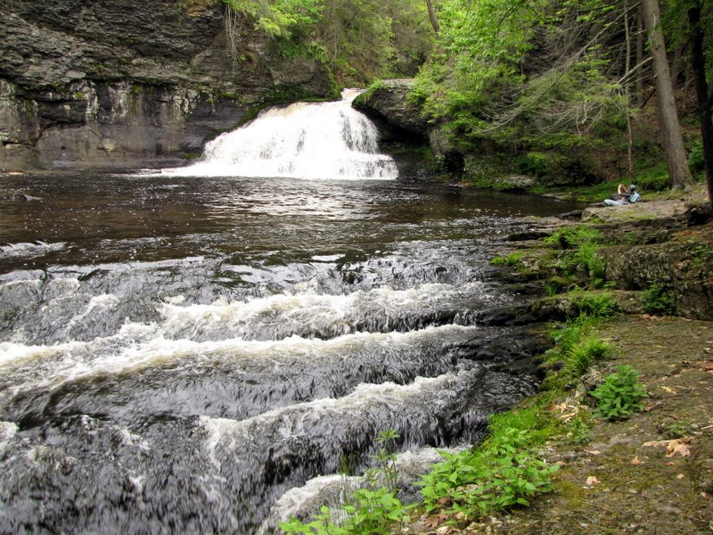
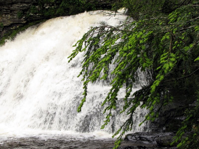
 Raymondskill Falls |
 |
 A lesser side fall |
 Path to the top |
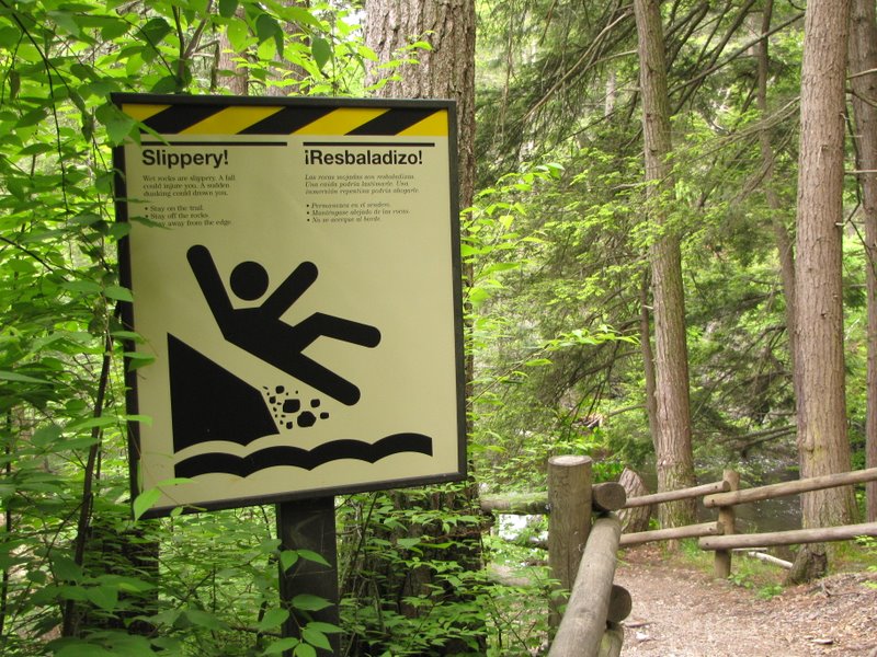 Love those warning signs! |
 A more tranquil top |
 View at the top |
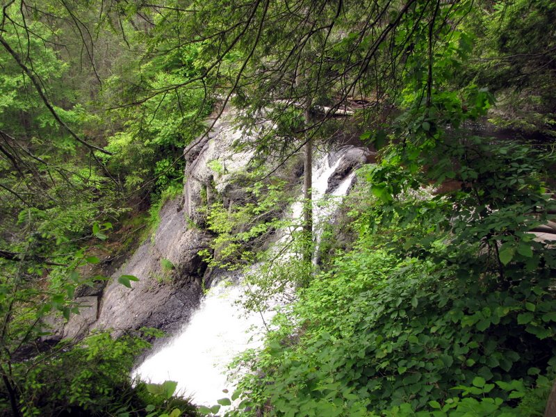 Raymondskill Falls from near the top |
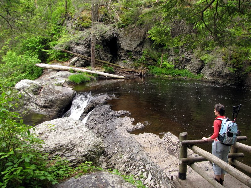
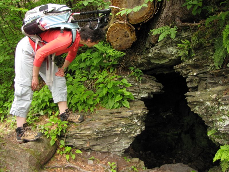 Cave |
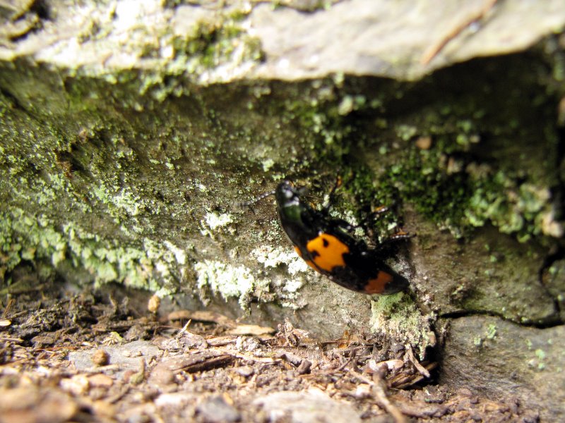 Colorful insect |
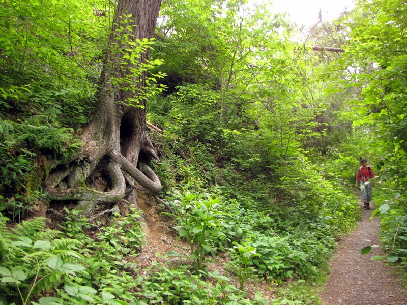
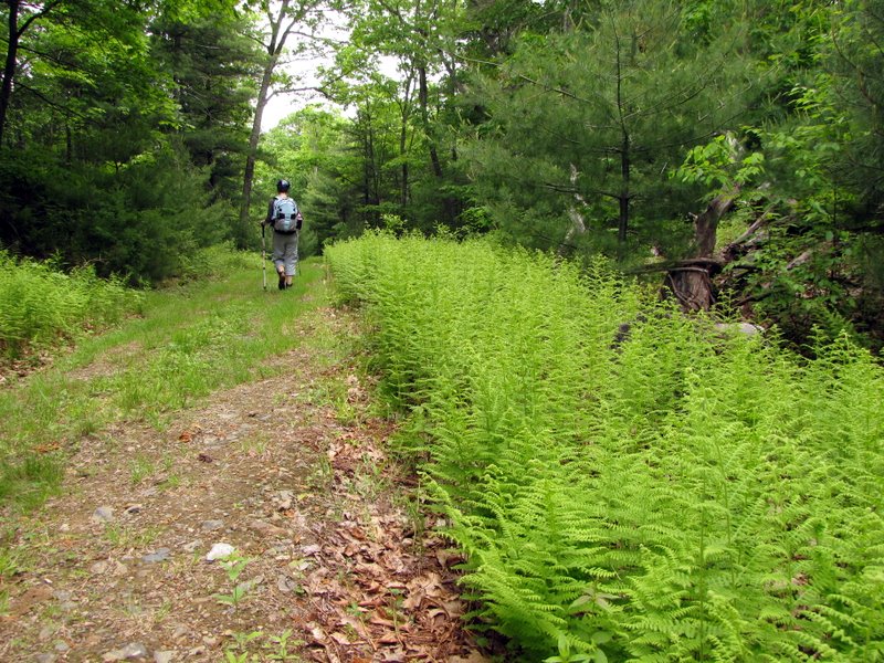
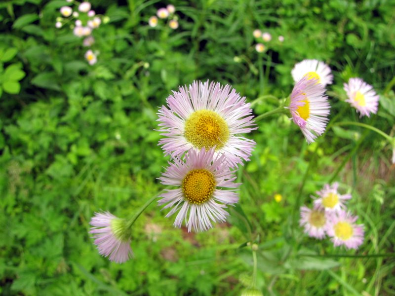 Wildflowers on Hackers Falls trail |
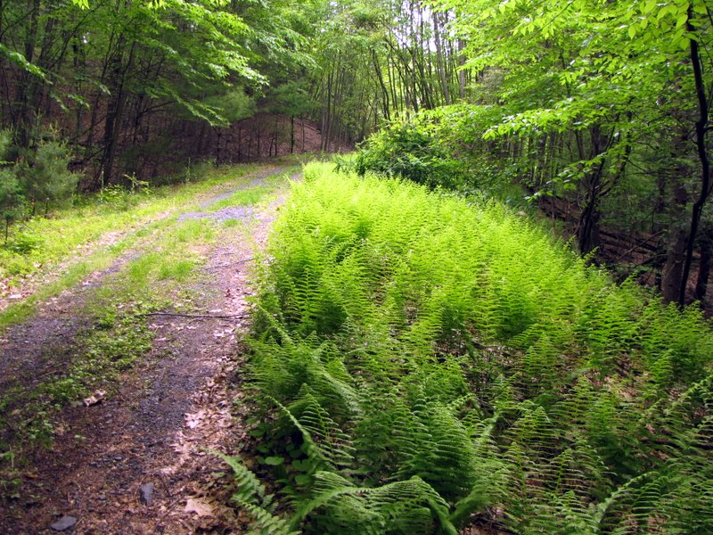 Ferns |
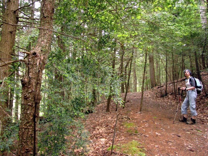
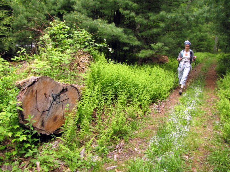
 On Hackers Falls trail |
 Juniper |
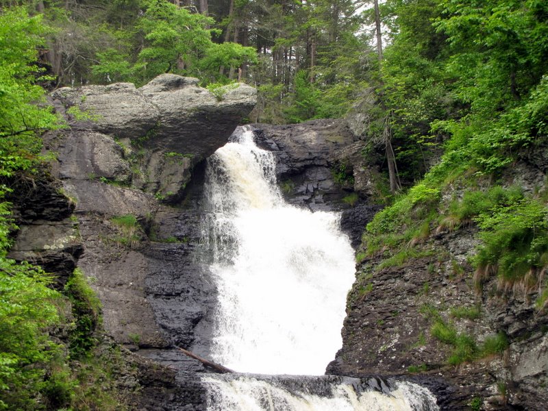
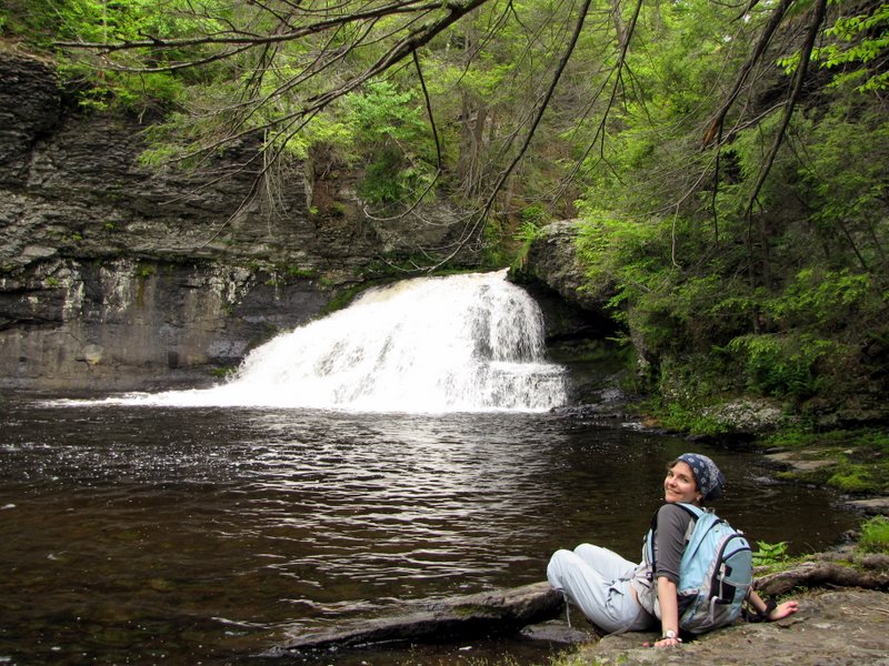
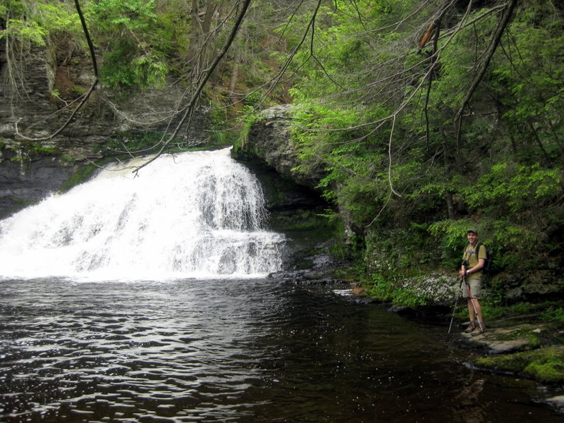
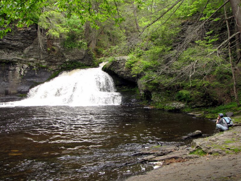 Hackers Falls |
 |
 Wide view of Hackers Falls |
 Wildflowers at the falls |
 More wildflowers |
 |
 [photo by Laura] |
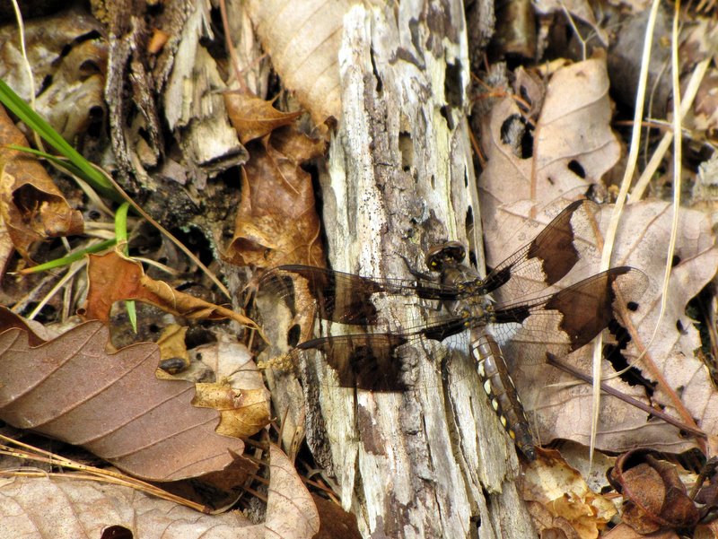 Dragonfly |
 Shed on Buchanan Trail |
 Wildflowers on Buchanan Trail |
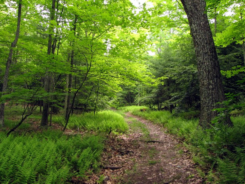
 Lots of ferns |
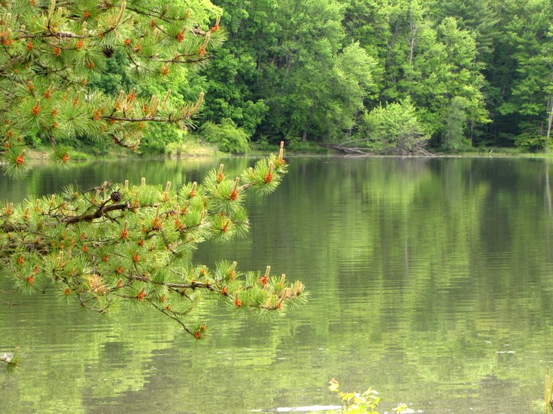
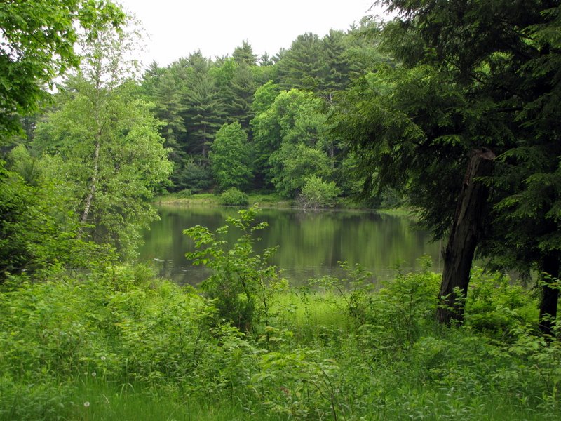 Pond |
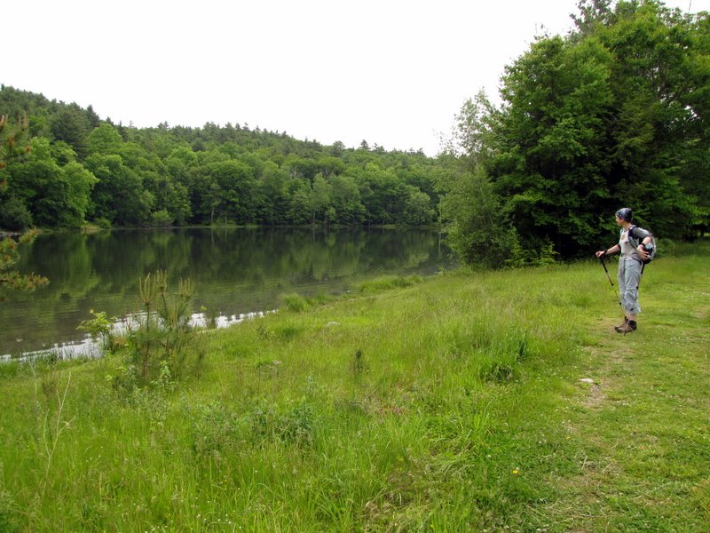
 Pond from southern bank |
 |
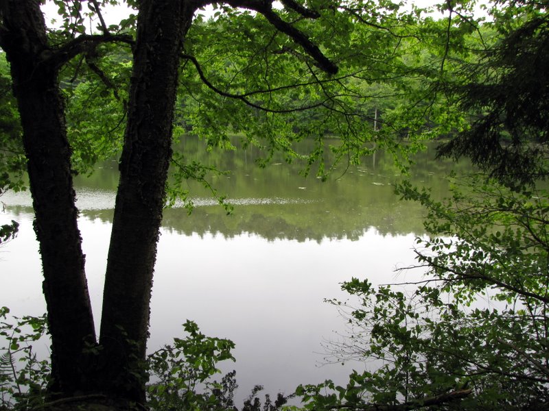 Pond from southern bank |
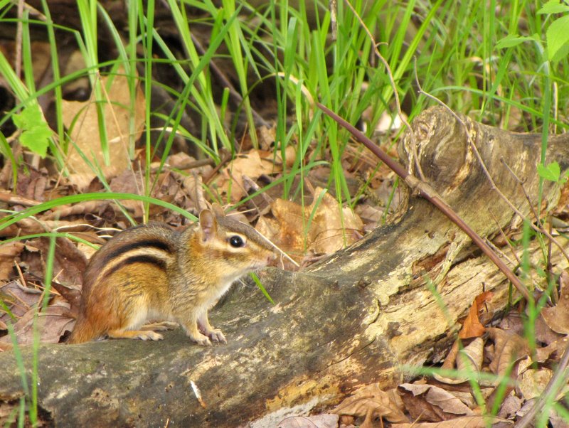 Chipmunk |
 Abandonded farm implement? |
 Pond from western end |
 |
 Pump house |
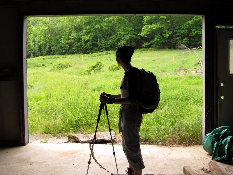 From inside pump house |
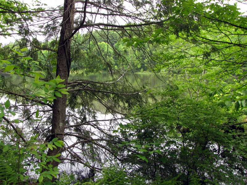
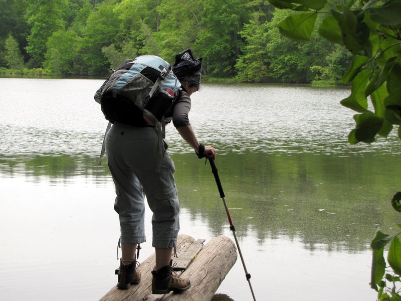 Pond from northern bank |
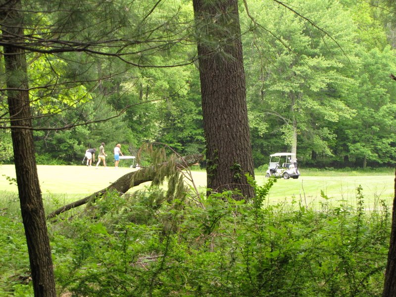 Golf course next door |
 |
 We passed this last week |
 Pebble in the shoe |
 Uphill to the Cliff trail |
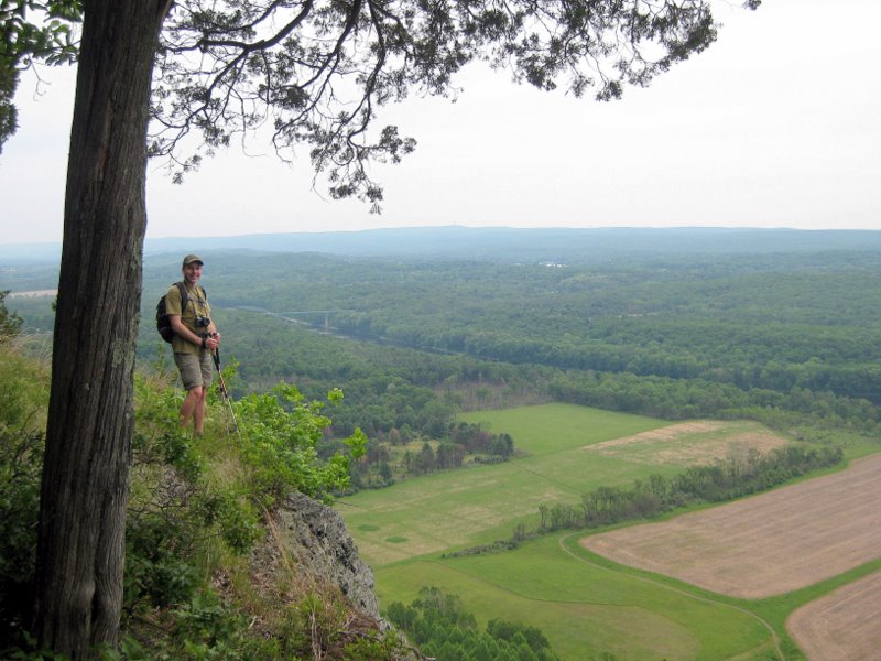
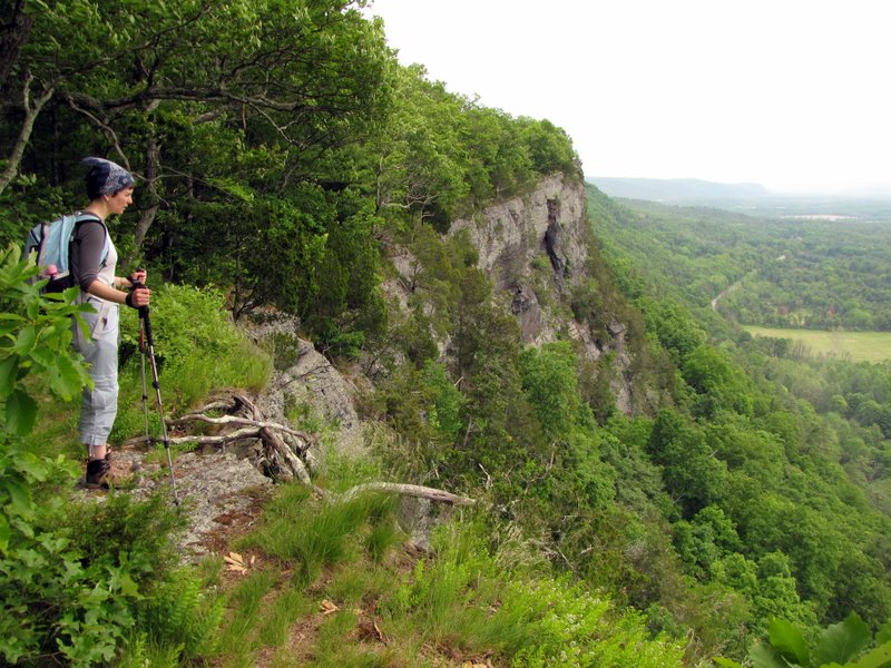
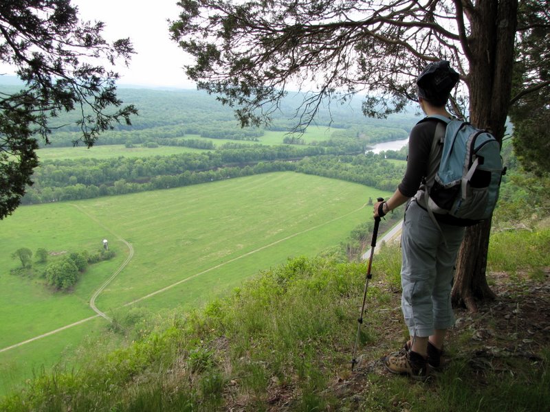 View from spur off the Cliff trial |
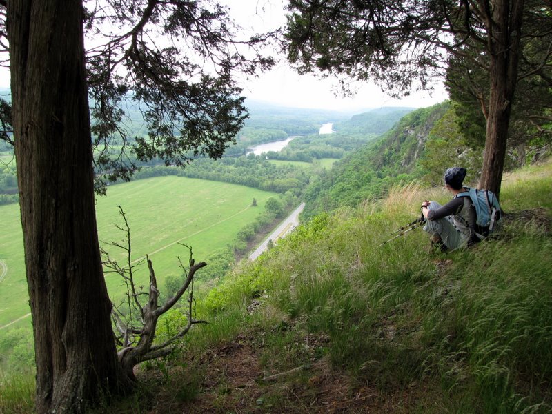 An amazing spot, view south |
 VIew north |
 |
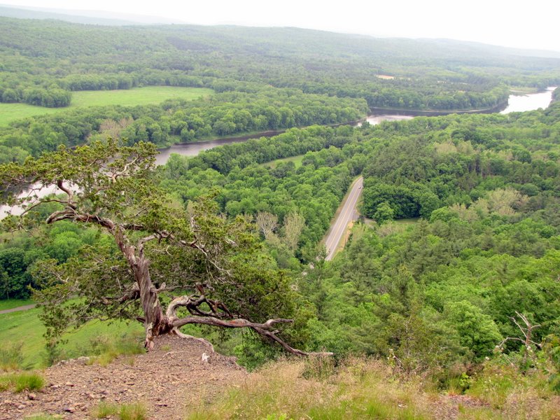
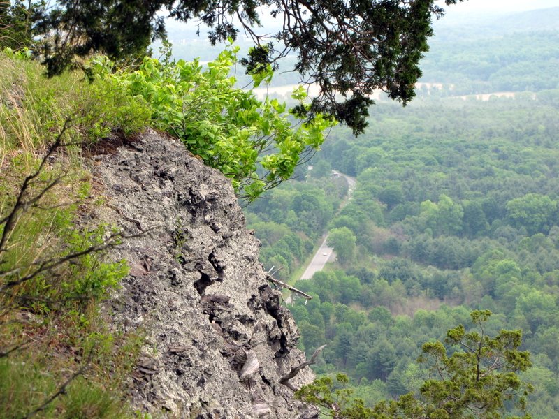 Route 209 below |
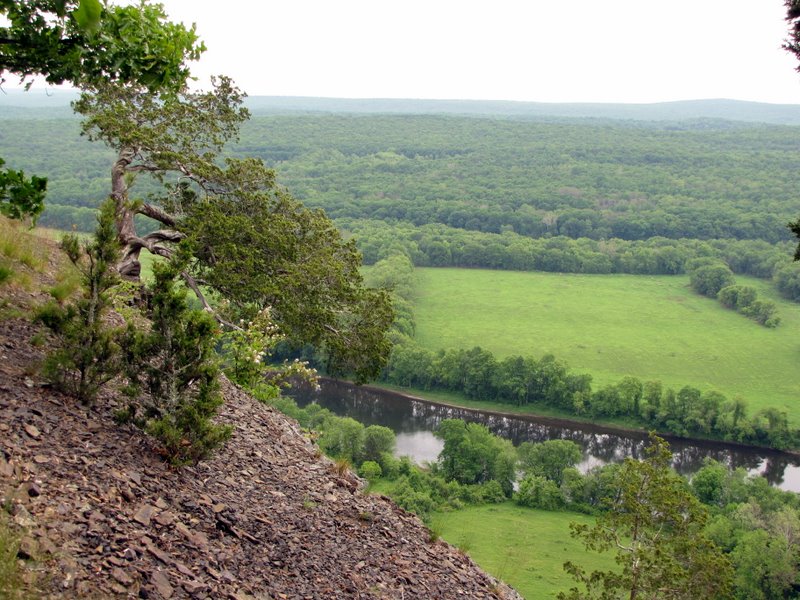
 Farmland below |
 Cedars |
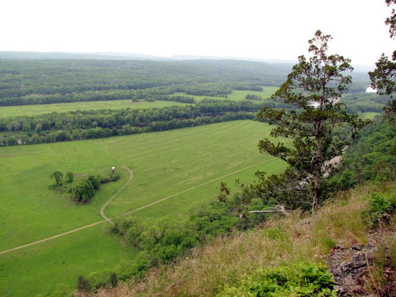
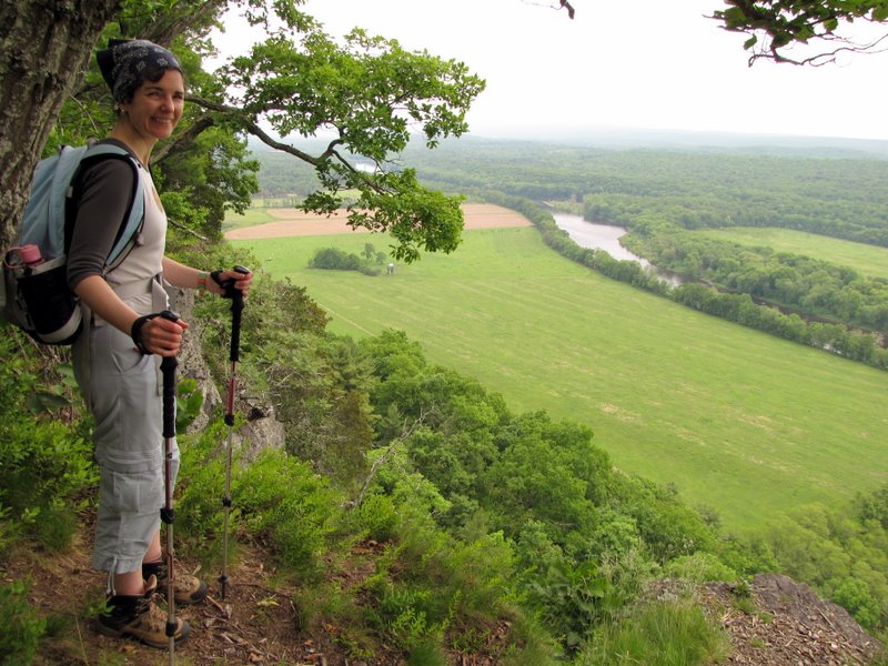
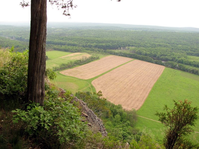 PA farms |
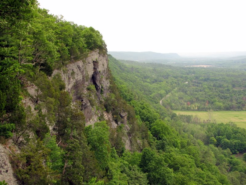
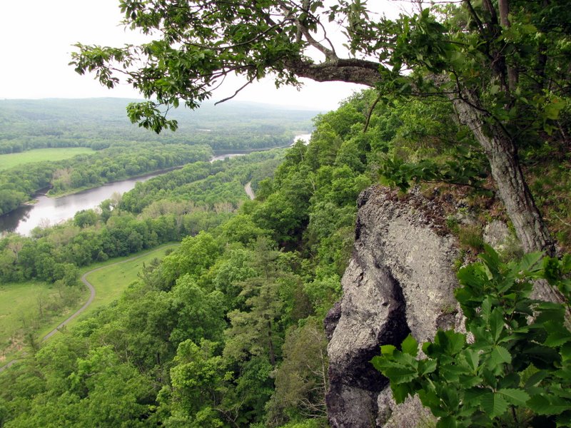
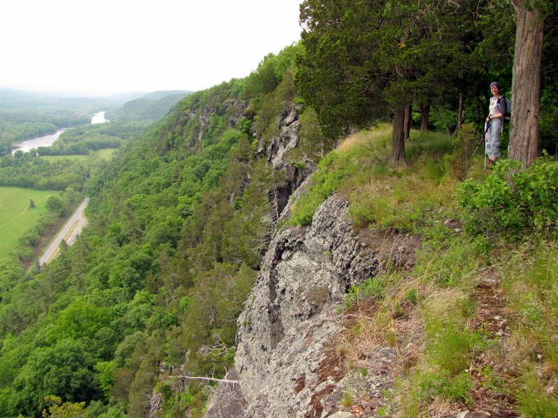 Awesome cliff |
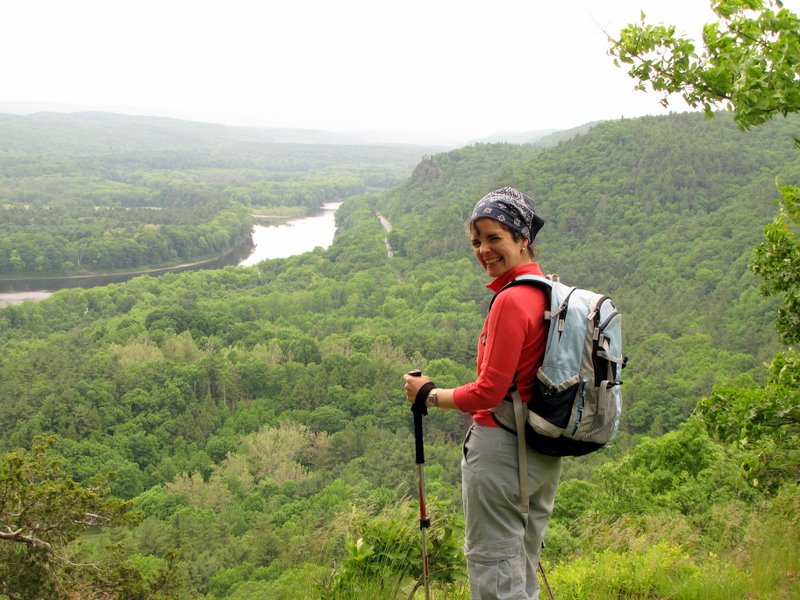
 [Photo by Laura] |
 Beautiful cedars |
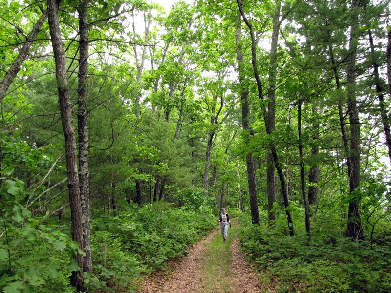 Cliff trail |
 Another amazing view |
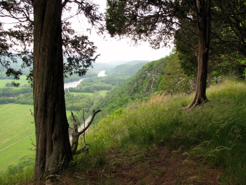
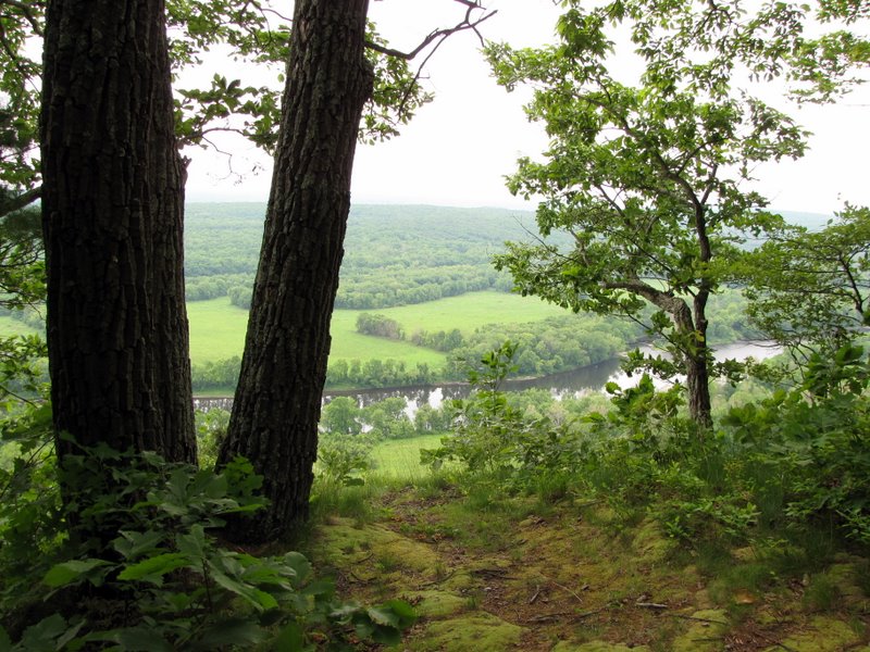
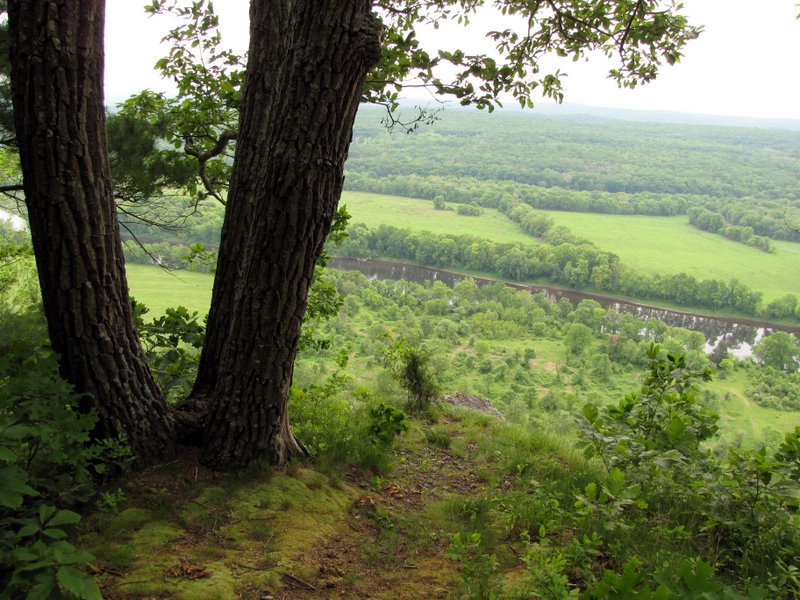
 View north |
 |
 |
 [Photo by Laura] |
 View north |
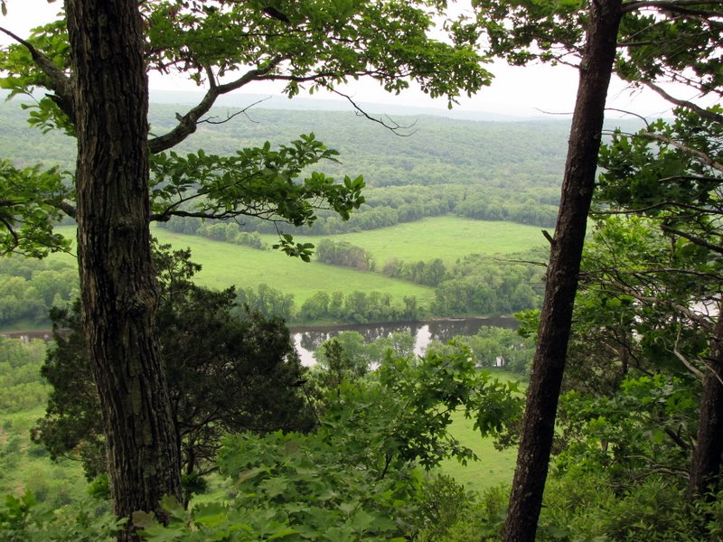
 Delaware River below |
 River looking north |
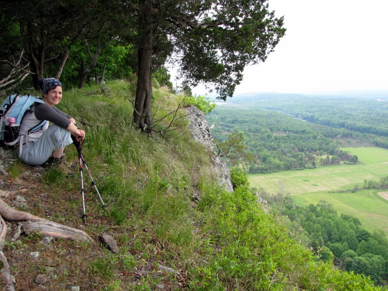
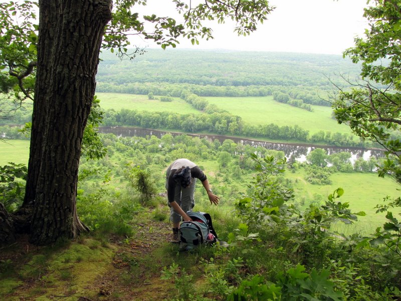 Our lunch spot! |
 McDade Recreational trail below |
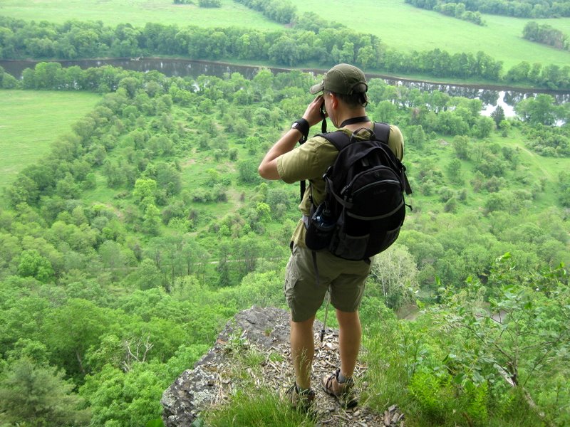
 Eagle or hawk |
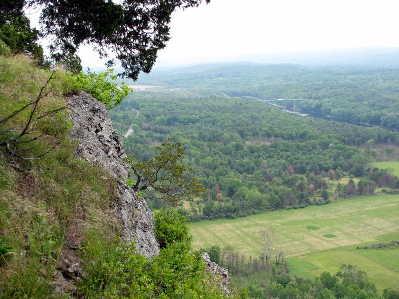
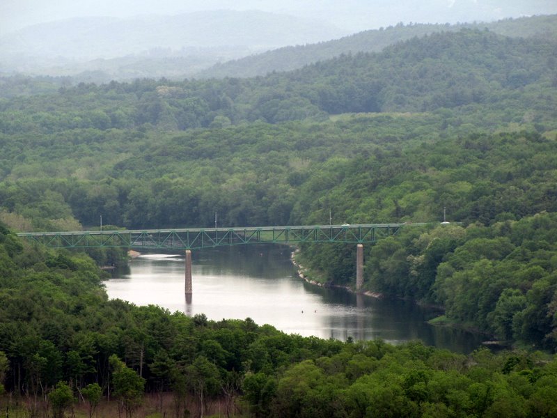 Route 206 bridge |
 |
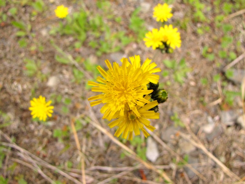
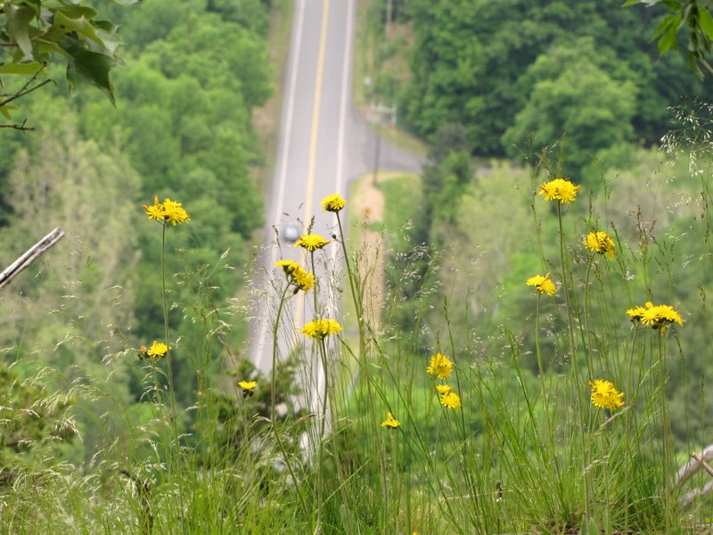 Dandelions and Route 209 below |
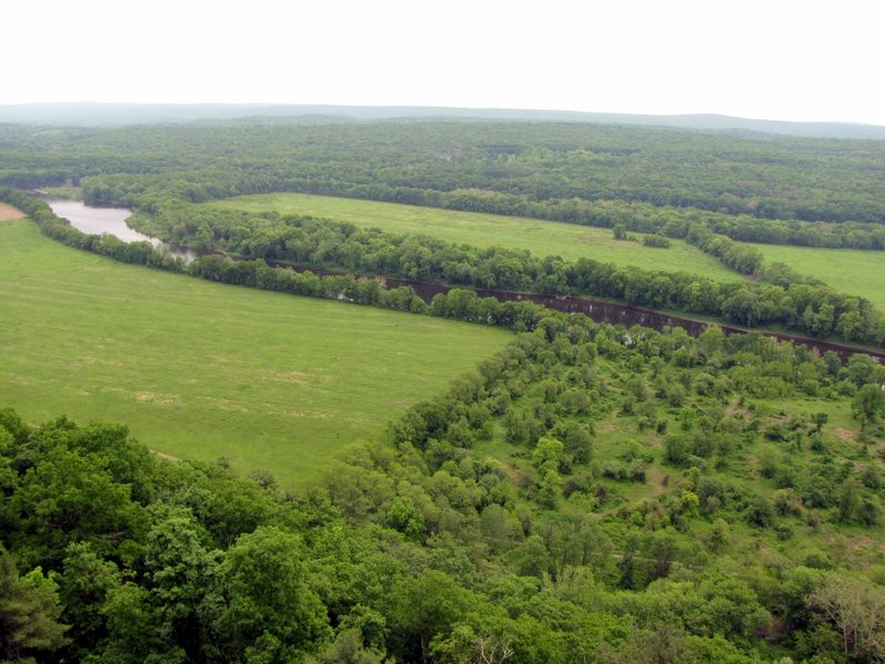
 View north |
 The winding Delaware River |
 View east |
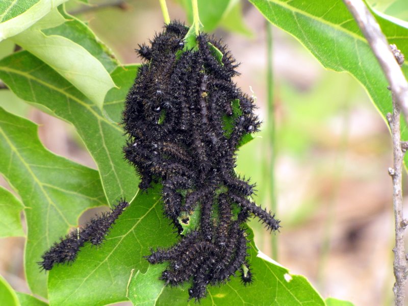 Caterpillars |
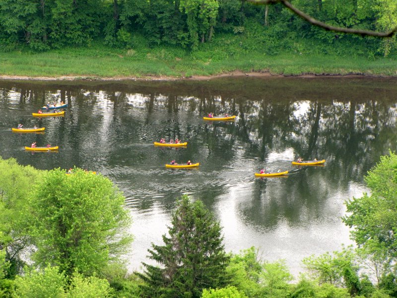 Kayakers in the river |
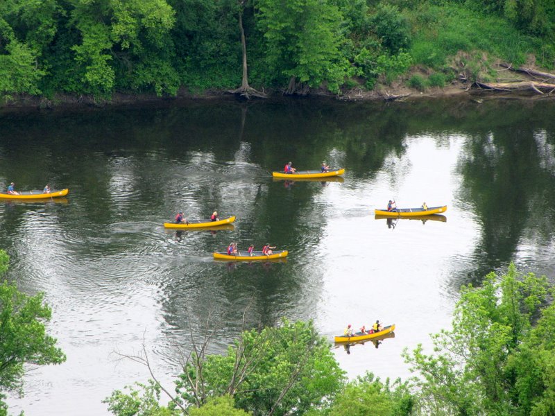 Closer view |
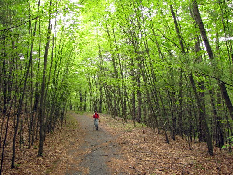 On the Logger Path |

|
|
Photographs and content copyright © Dan Balogh Web design by Dan Balogh |