 |
|
This is the second time this year we hiked in this huge, beautiful WMA. There aren't any officially blazed trails in this area, but lots and lots of trails nonetheless.
In April with the paper NYNJTC Map #116 in hand, we hiked in the Silver Lake area north of Route 23. Today we returned
to hike in the area north of Route 23 and SW of Silver Lake. The iPhone PDF version of the map was released just a couple of days ago, so this time I had the extra confidence of
knowing exactly where we were at all times. And thank goodness we had the PDF version loaded in my iPhone. The trails on the map are a small fraction of the trails
actually in this area, and trails shown as not connecting actually do connect to other trails. So the map should be used as a guideline only: if it's on the map it exists,
but there are a ton not on the map. At least a third of the time we were on unmapped
roads, able to piece together this nice figure-8 which doesn't exist on the paths
represented on the map.
We parked at the large Route 23 parking lot just west of Lake Gerard and immediately headed NE into the woods and followed the path at the link provided above. The highlight of the hike was another bear encounter (this brings the total for this year to three in the woods and two more while in the car). Heading south along the top circle of the figure-8 we heard cracking branches and off to the right saw a bear quickly backing down a tree, looking at us as if in a panic. For a moment I thought we was in a hurry to get to us (!) but luckily he was in a hurry to get away. We watched as he ran up ahead of us and then crossed over our path. It all happened so quickly that the two photos I snapped were horrible, so you won't see him here. Total distance hiked today was about 5.7 miles in 3.5 hours.
(Click on the thumbnail to bring up a bigger image in a pop-up window)
|
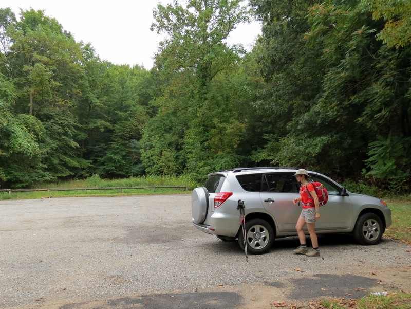 Large parking lot |
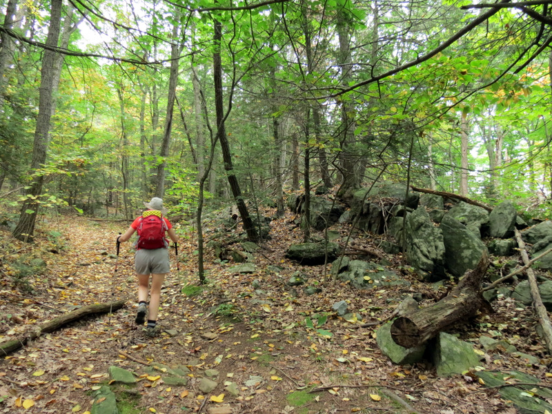
 Just inside the woods |
 [Photo by Laura] |
 Immediate climb |
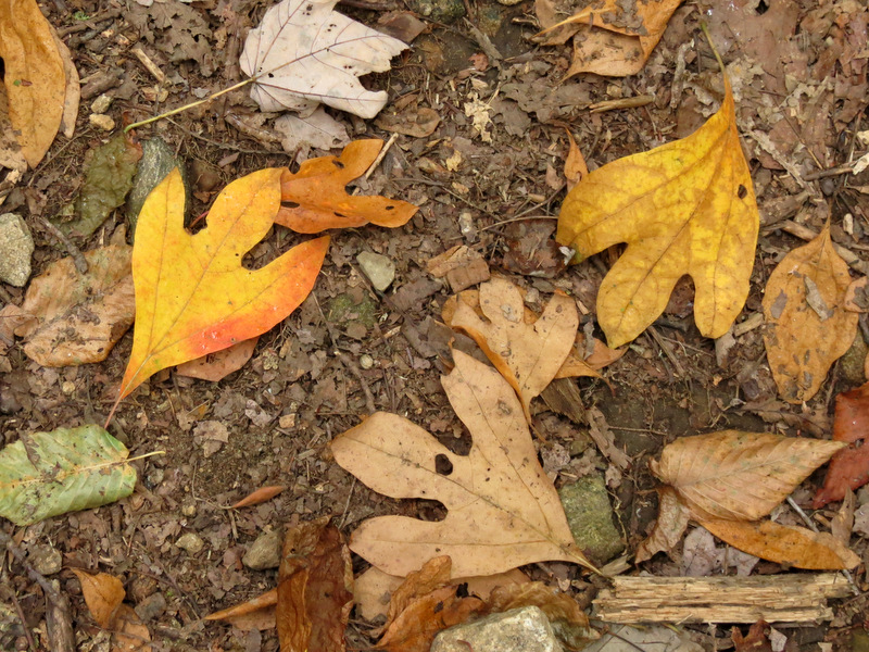 Sassafras leaves |
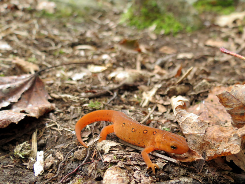 Red eft |
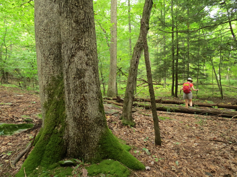
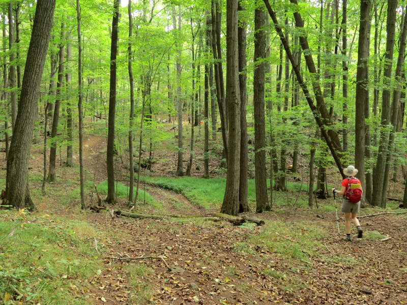
 Unmapped trail to the left |
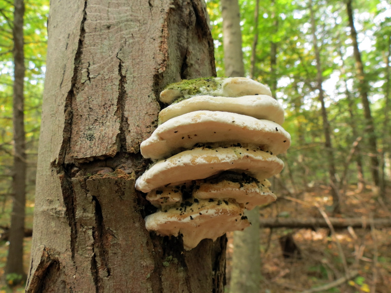
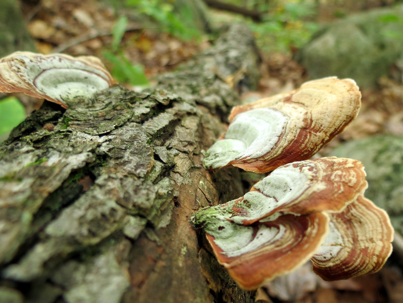
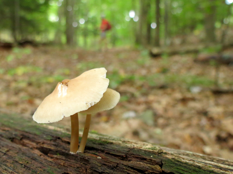 Downed tree mushroom |
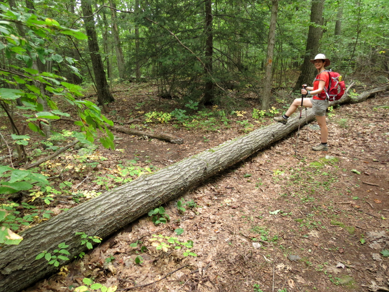
 Ladder |
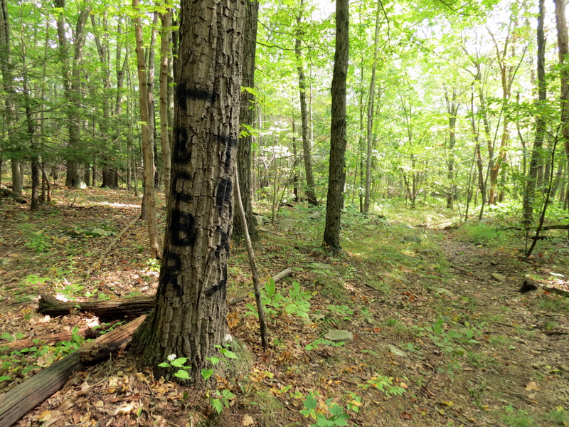
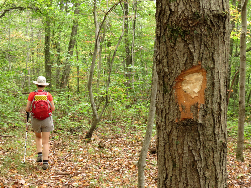 Unmapped trail blazed by ax |
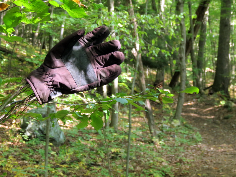
 Fresh snap |
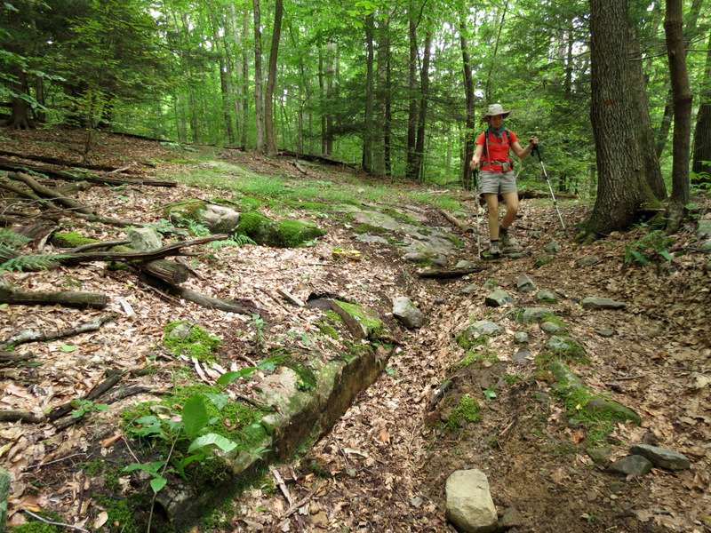
 Bushwhacking here |
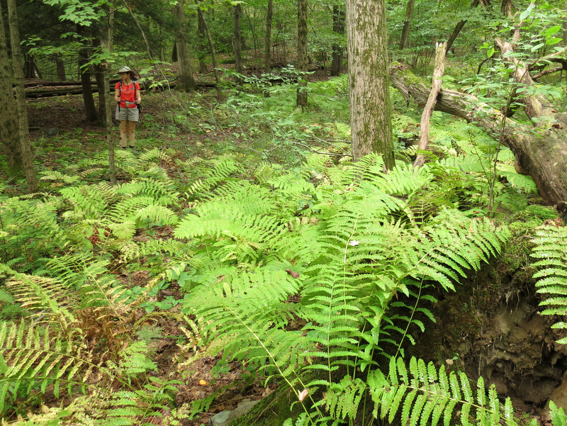 Huge ferns |
 The sun is out! |
 |
 Sassafras |
 Creepy! |
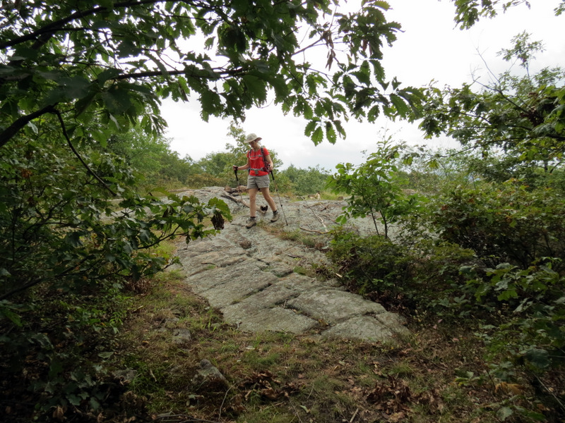
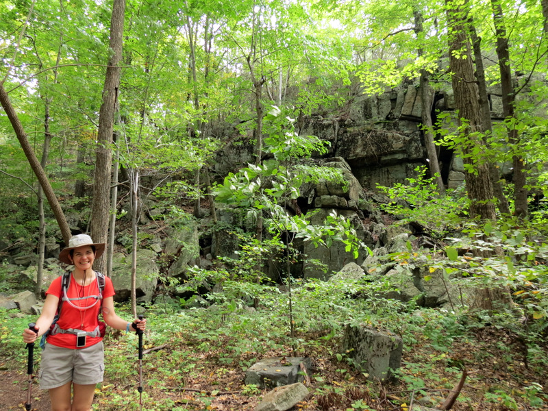
 On the upper ... |
 ... circle of the figure-8 |
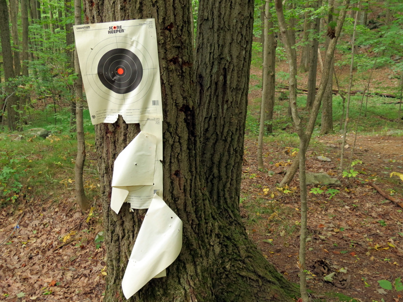 Target practice |
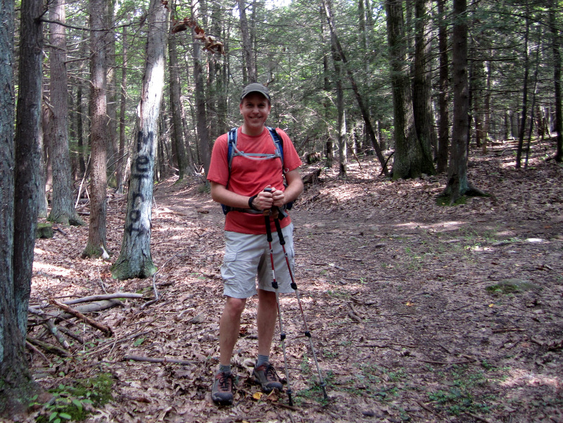
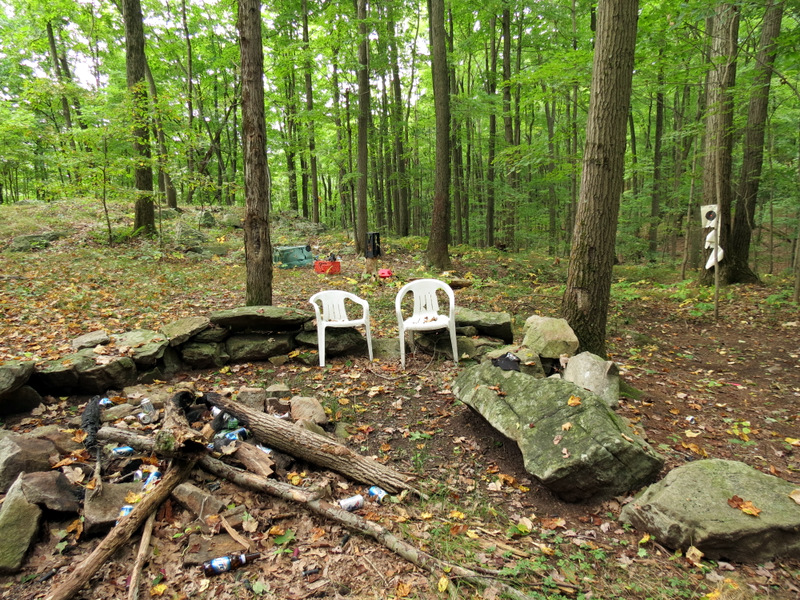 Meeting place |
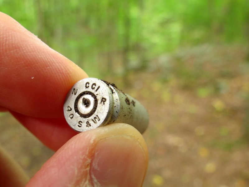 Shell |
 Ground covered with shells |
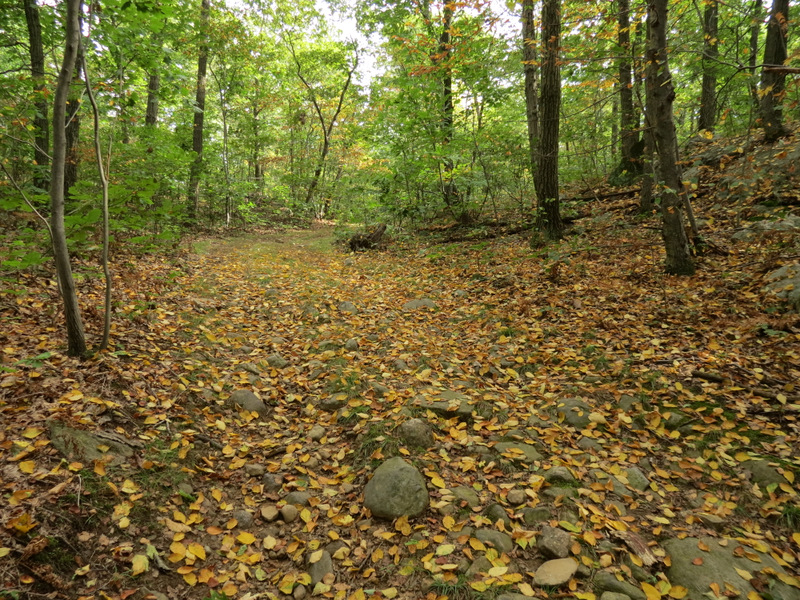 Path covered with leaves |
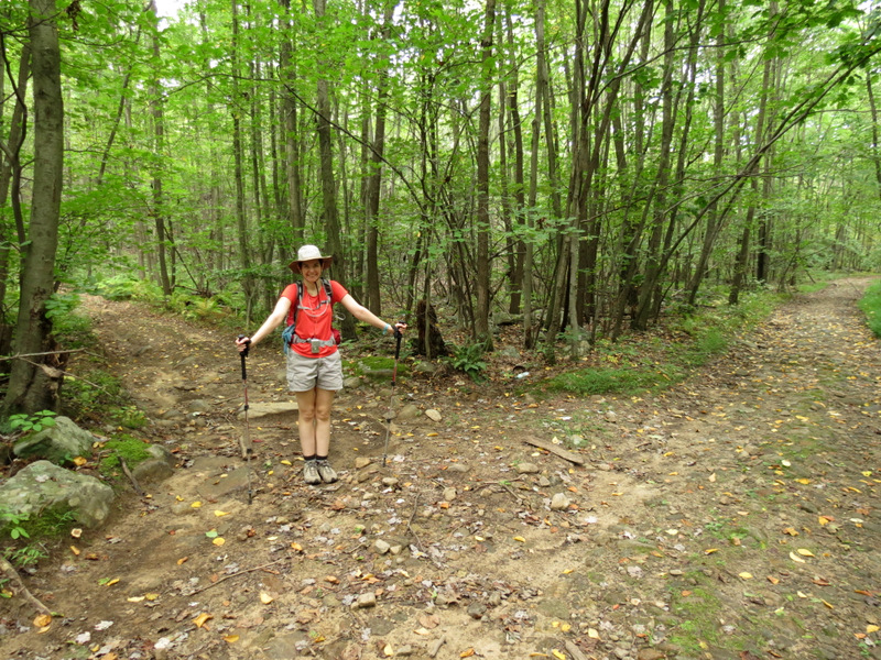 Two roads diverged |
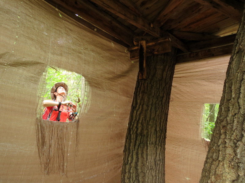 Tree house! |
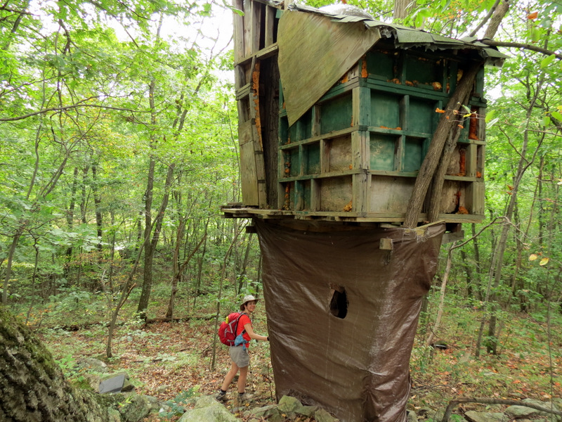 Very cool |
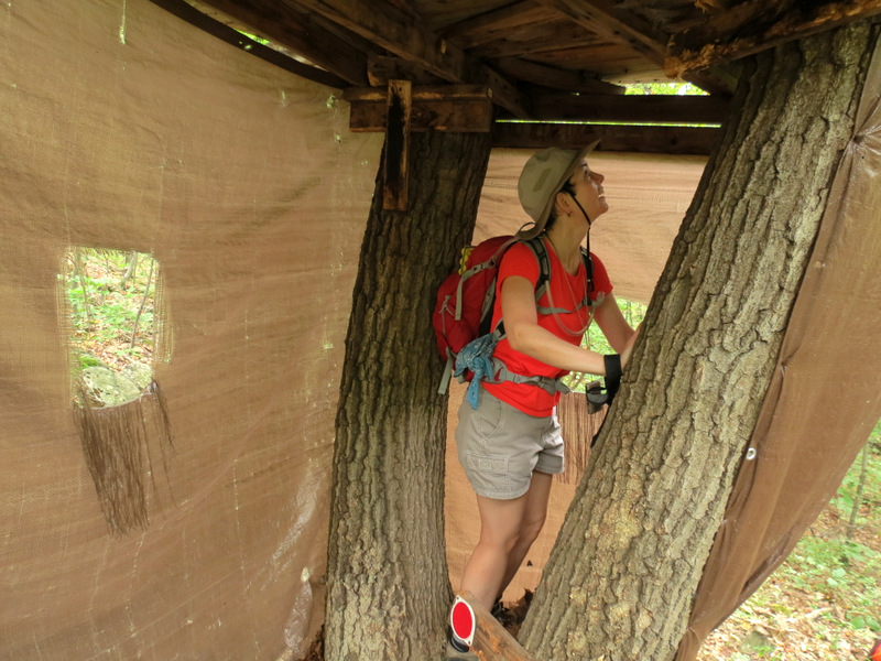 Tight inside |
 Nearby graffiti |
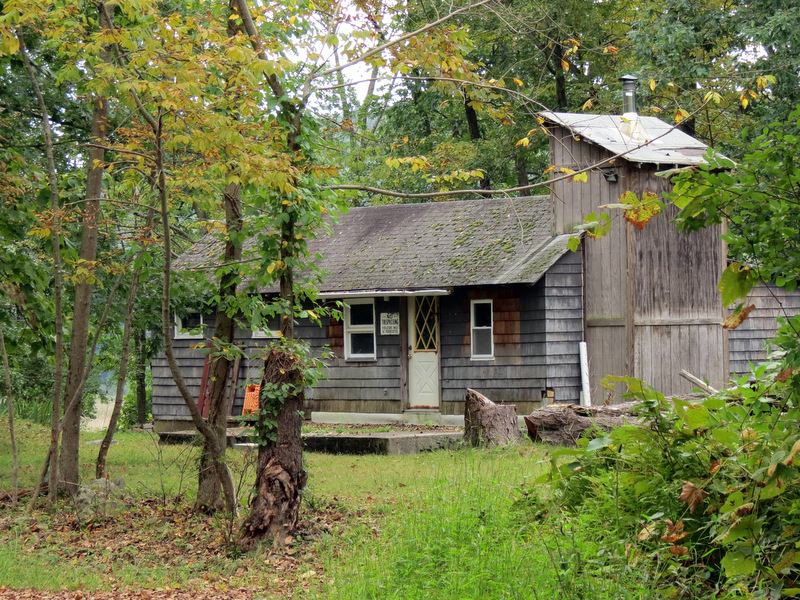 No Trespassing here |
 Swampy pond |
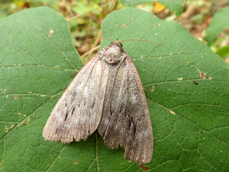 Moth |
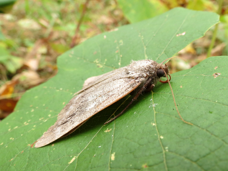 Moth sideview |
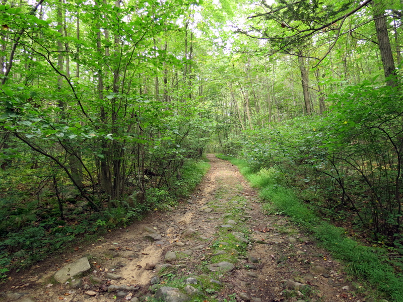 Nice woods road |
 Mushroom |
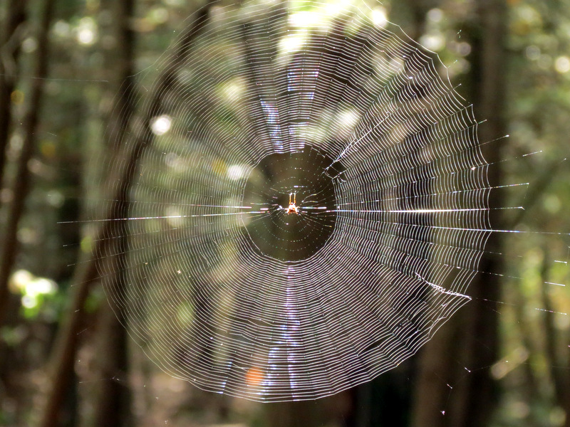 Spider web |
 [Photo by Laura] |
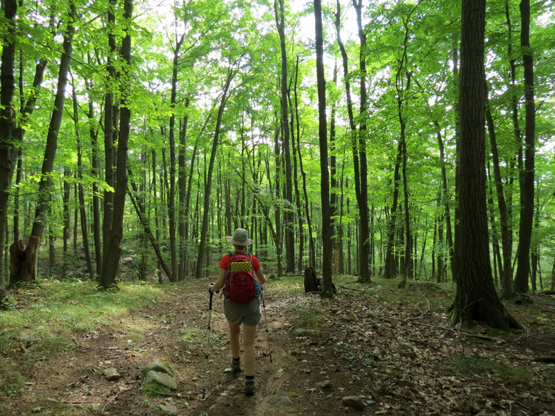
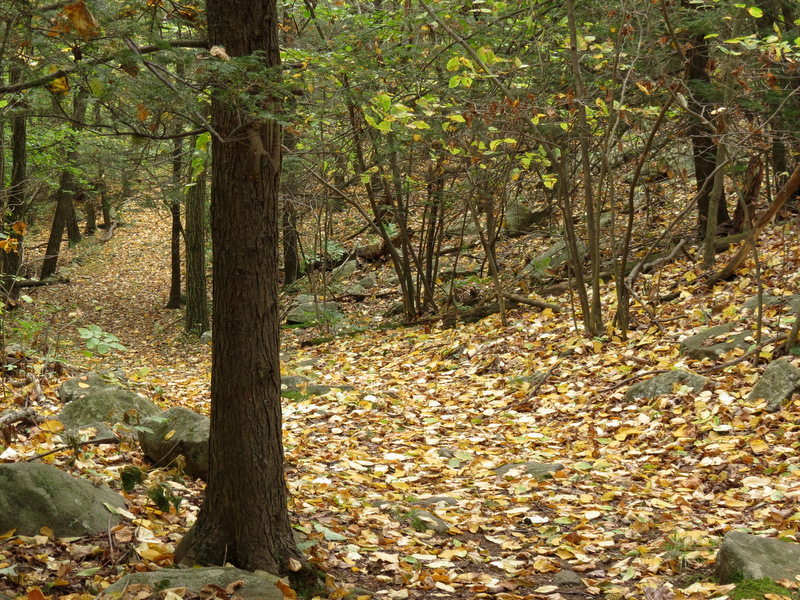
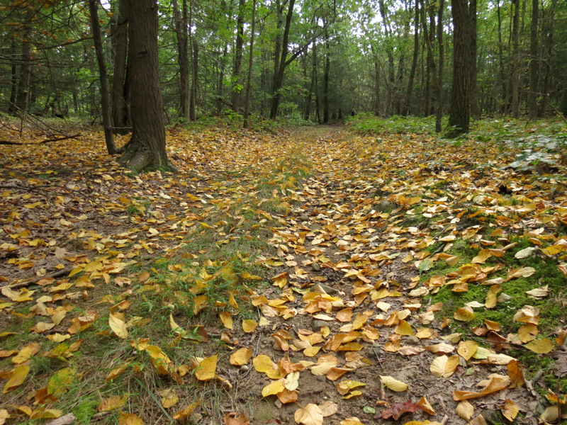 Gorgeous leafy path |
 Views east ... |
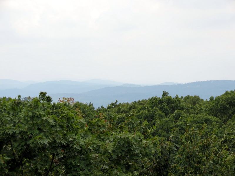 ... from high point |
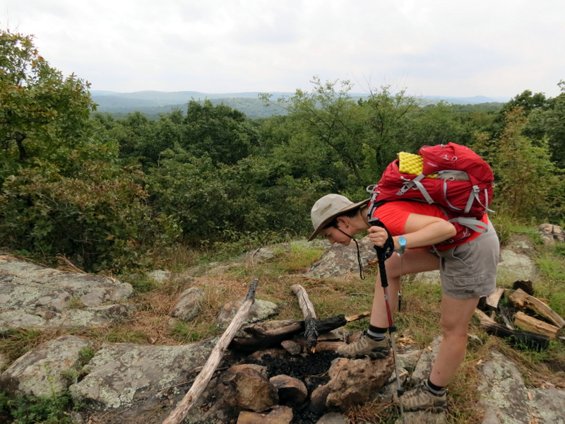 Fire ring |
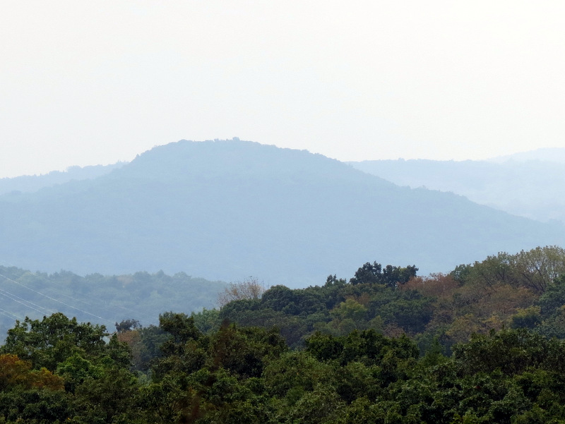 Views from ... |
 ... local peak |
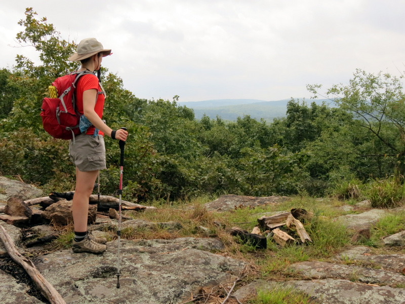 About 1270 feet |
 |
 Straight natural cuts [photo by Laura] |
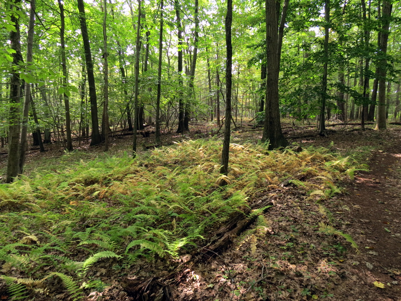 Ferns |
 Very old hunting chair |
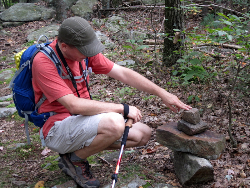
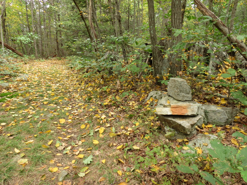 Makeshift cairn and blaze |
 [Photo by Laura] |
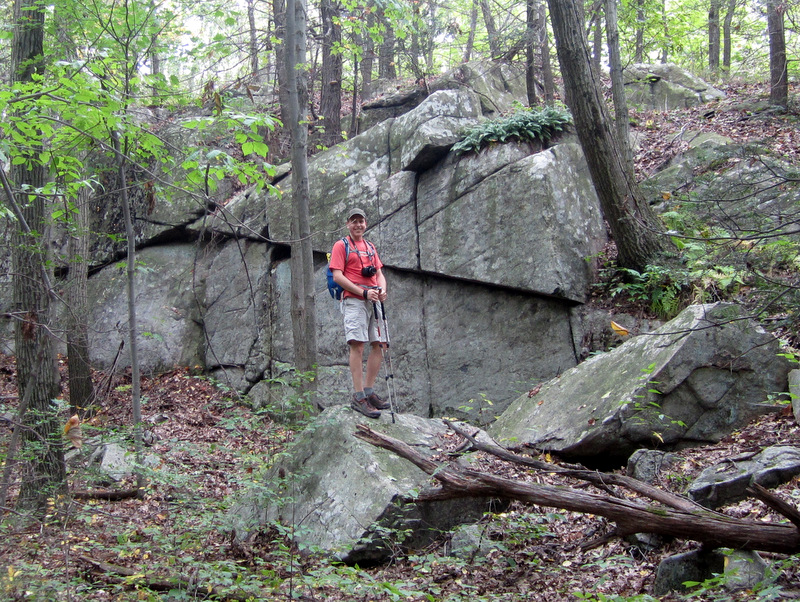
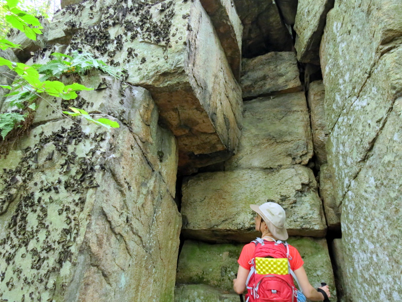
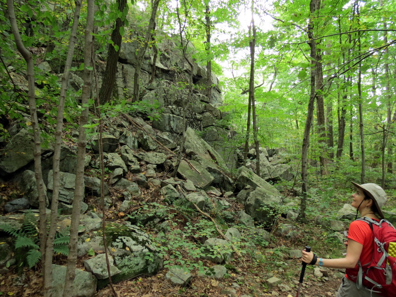 Beautiful rock formation |
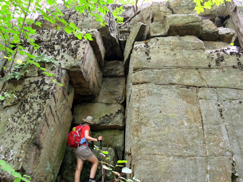 Like a temple entrance |
 |
 Found geocache inside: pad |
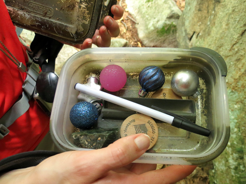 Container of Christmas balls |
 |
 It's not even fall yet! |
 Log mushrooms |
 Directions on tree |
 |
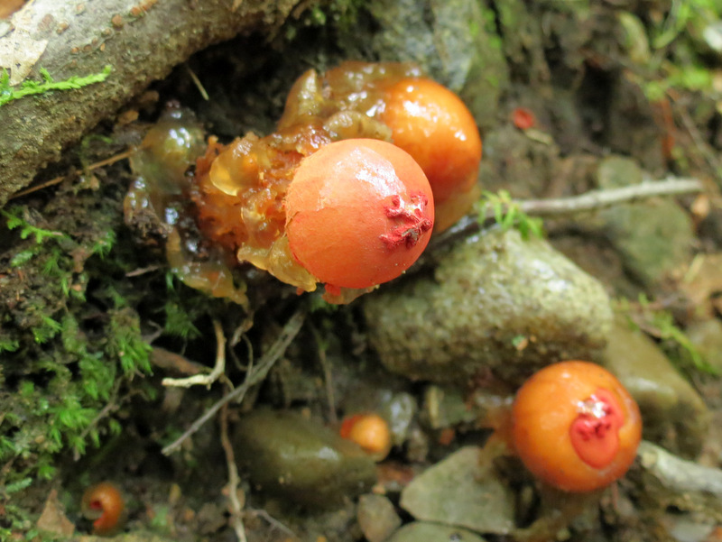 Awesome puffball mushrooms ... |
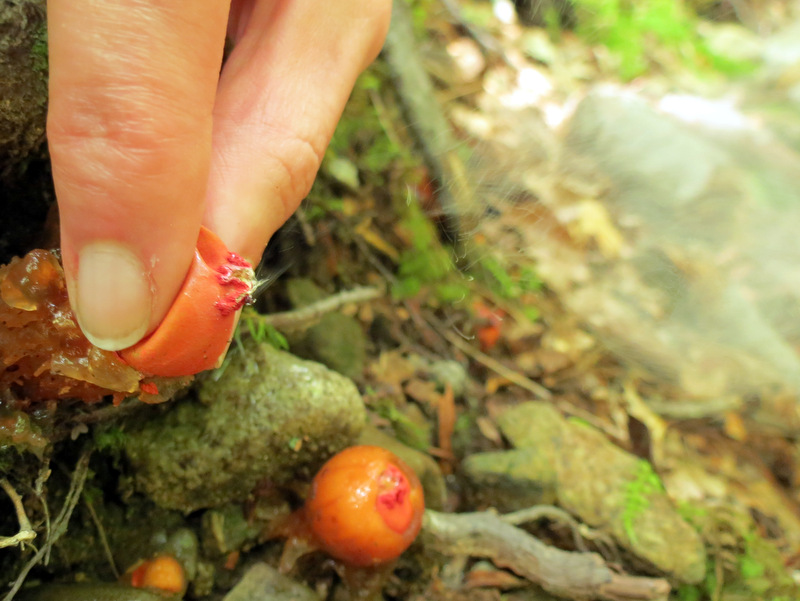 ... that spew fine spore powder ... |
 ... when pinched! |
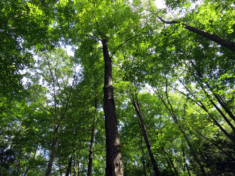 Beautiful trees |

|
|
Photographs and content copyright © Dan Balogh Web design by Dan Balogh |