 |
|
The famous Boulder Field of Pennsylvania has been on my list of hikes to do for several years now. The field is a geographic marvel, the only thing of its sort east of the
Mississippi according to sources. But a couple of years ago the Boulder Field trail was closed for reasons I can't quite remember, some sort of wildlife activity (birds or
mammals). Not wanting to take the easy and less exciting route (driving to the boulder parking lot and walking 10 feet to get to the boulders), I put the hike on the back burner.
I wanted to approach it as an early explorer may have stumbled upon it: i.e., not via a Chevy Explorer.
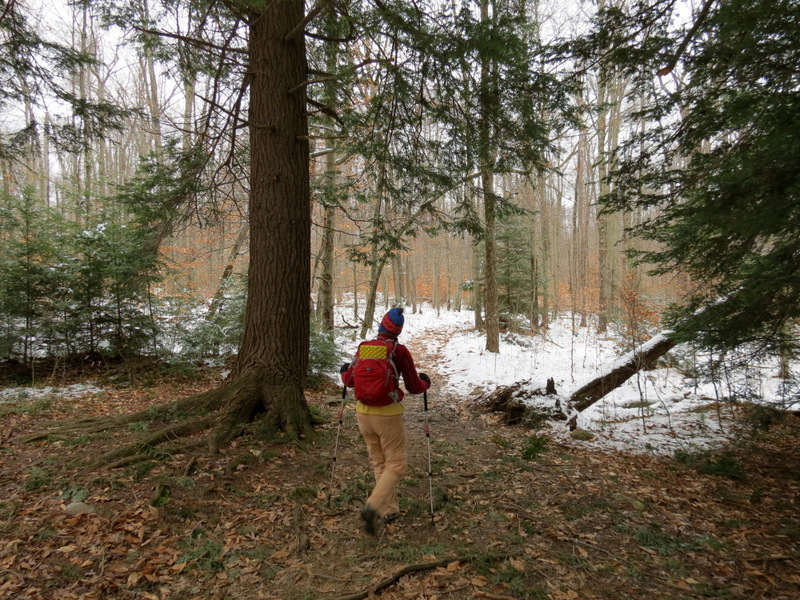
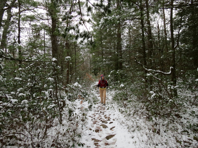
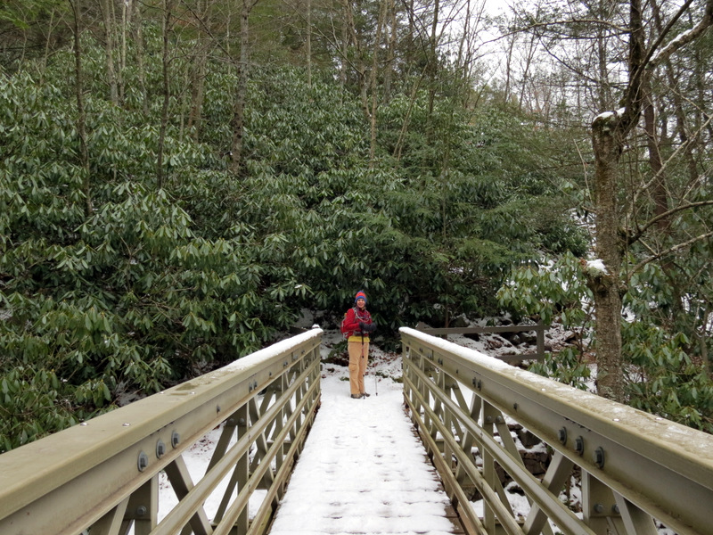
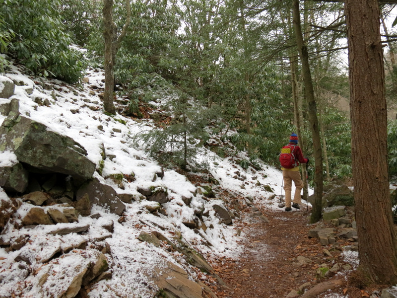
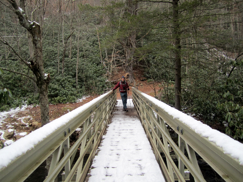
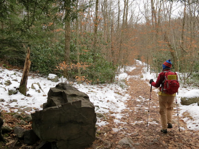
A recent visit to the park website indicated no closed trails at all, so we took the day off today and drove over 90 minutes to get to the trailhead on Route 534. What we didn't expect was the amount of snow still on the trail. We wouldn't have minded much except that the boulder field was also completely covered with snow, making any attempt at exploration very dangerous. We did stray a bit into the field, but only very slowly and carefully. We never did make it to the other side where the informational kiosks apparently stand. No cars seemed to be parked at the lot on the other side, and there wasn't another soul in the entire field. After poking around for a bit we headed back and decided to do a quick visit to Hawk Falls on the southern side of Route 534. For the boulder field we followed Hike #17 ("Hickory Run Boulder Field") in Hiking the Poconos: A Guide to the Area's Best Hiking Adventures (1st edition), though no description is really needed since it's a simple 3.4 miles in and 3.4 miles back the same way, all on the yellow trail. The next hike in the book, Hike #18 ("Hawk Falls"), incorporates a visit to Hawk Falls into a 3.1-mile loop, but we only had time to walk to falls and back. Total distance was nearly 8 miles in 4 hours.
|
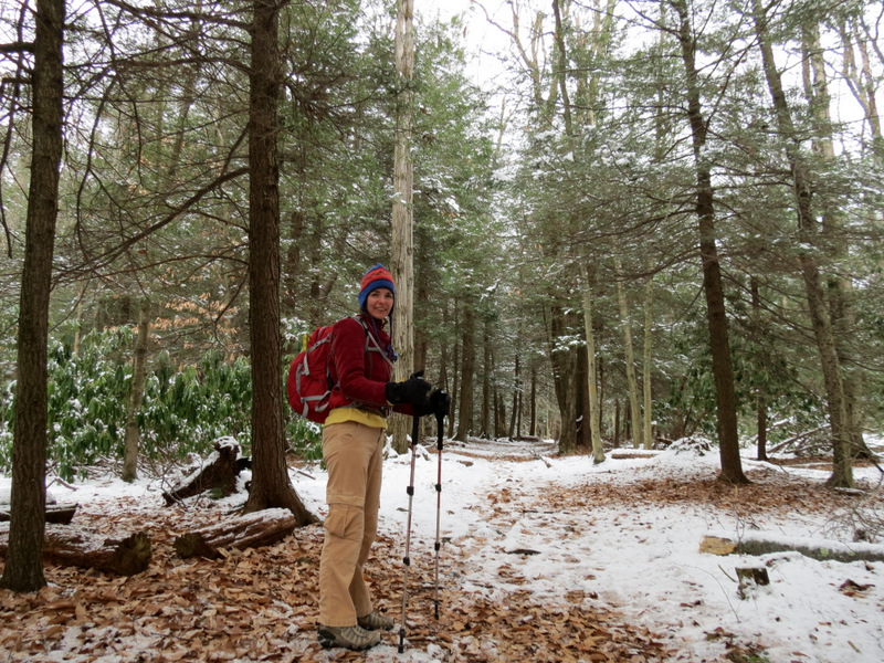
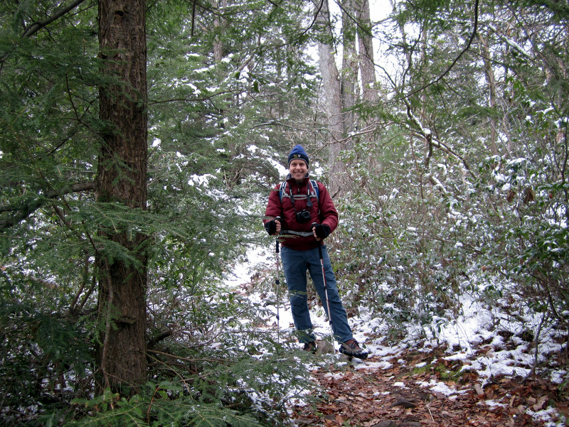
 Trail head parking |
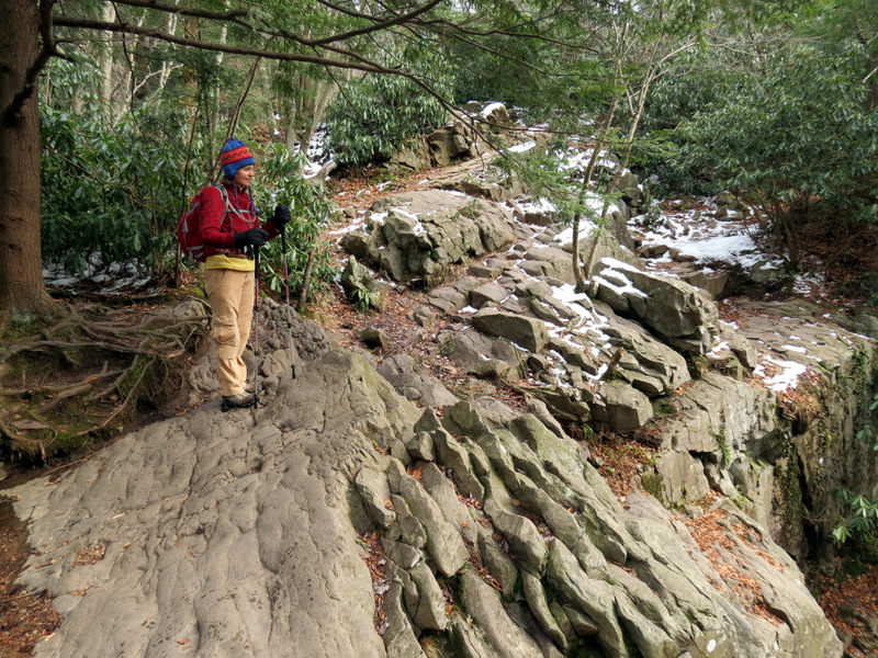
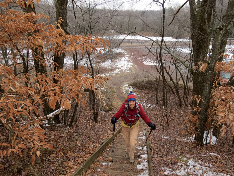 Climbing the steps |
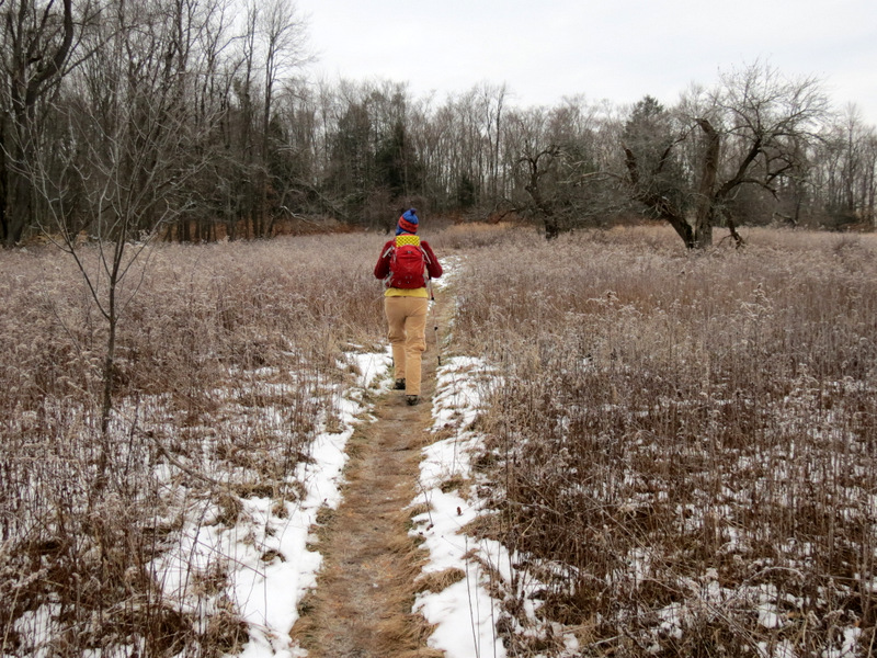
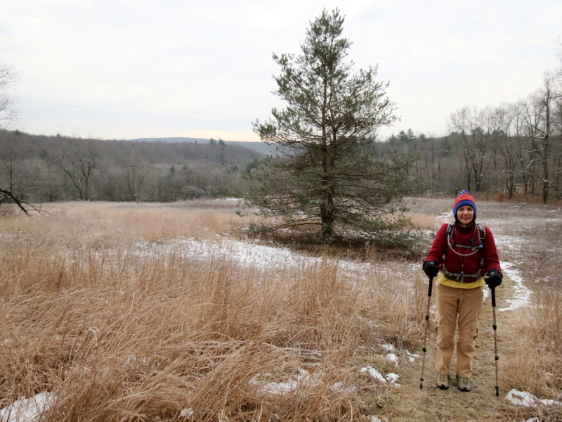
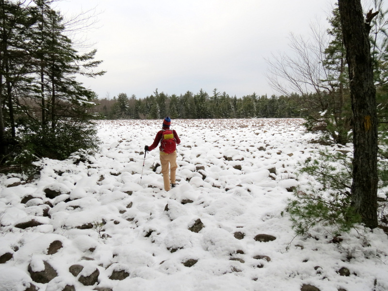
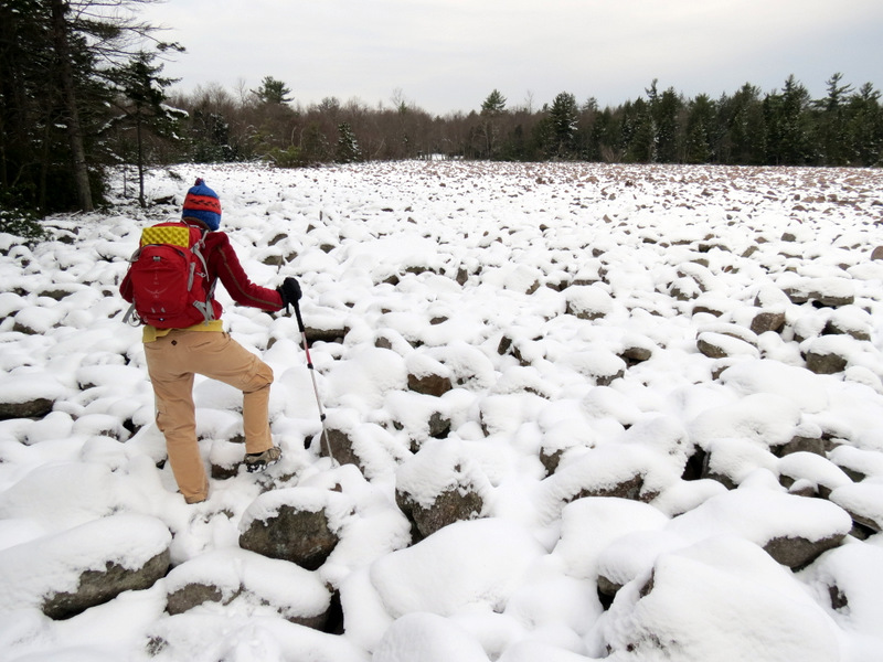
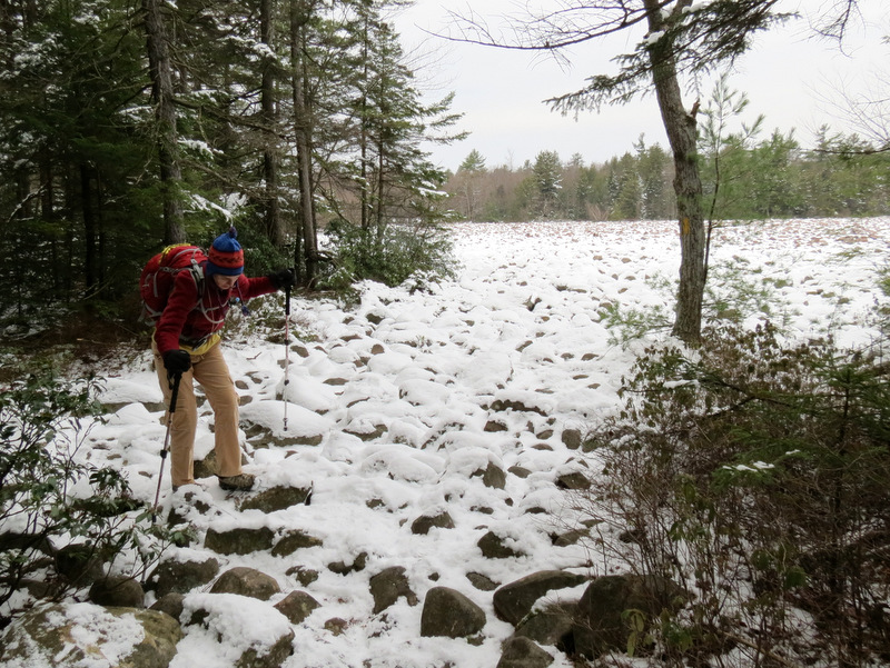
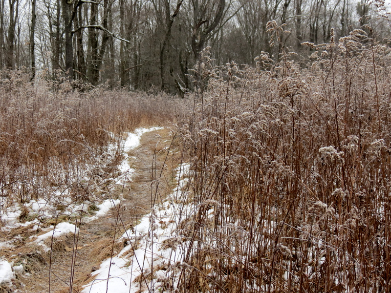 Crossing through ... |
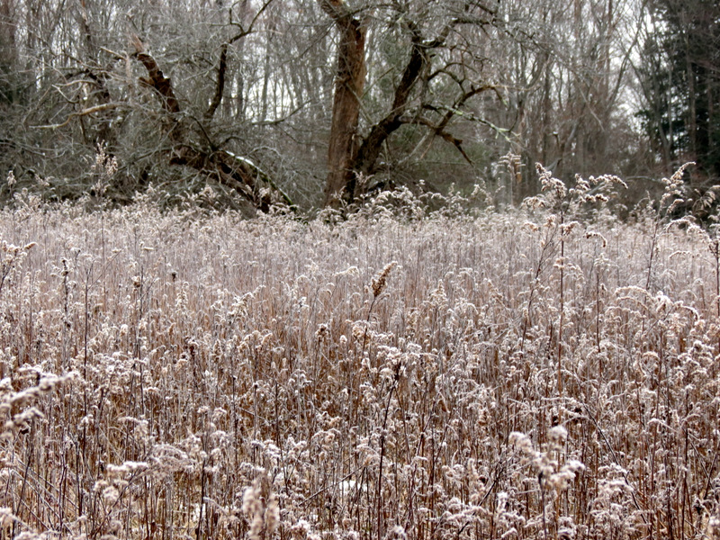 ... a frozen meadow |
 |
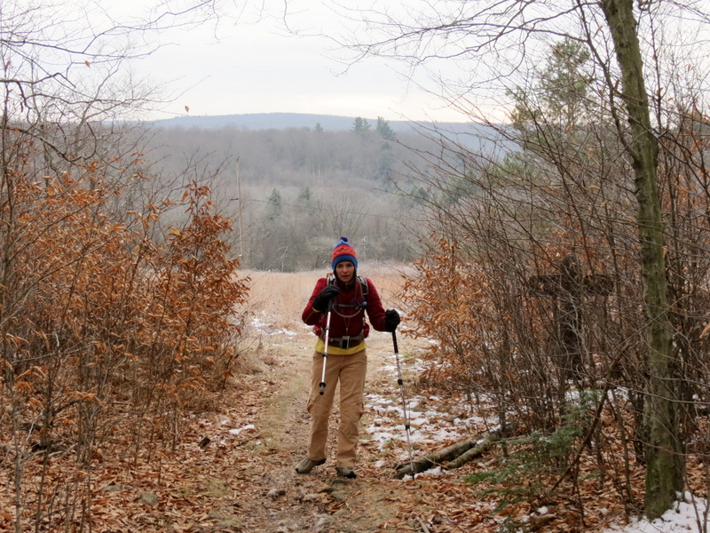
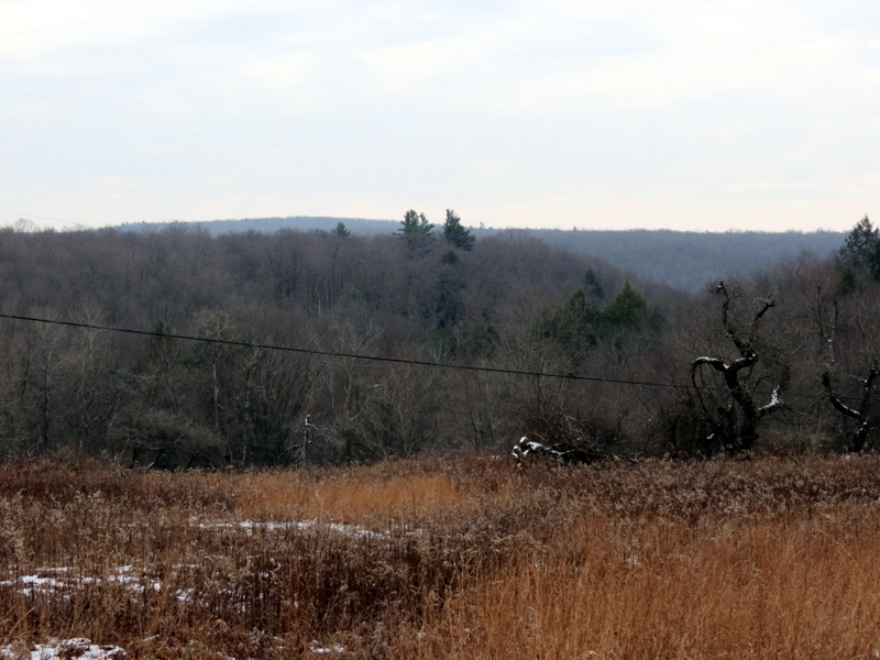
 Views south |
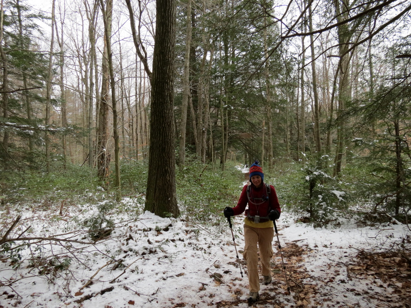
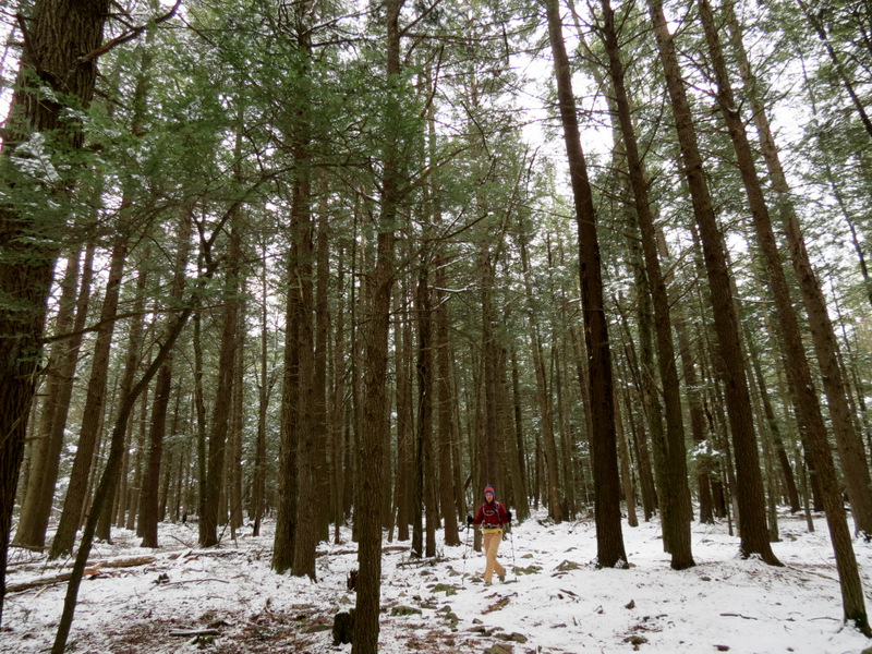
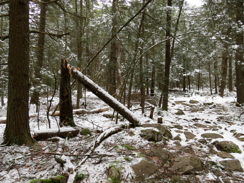
 Into the forest |
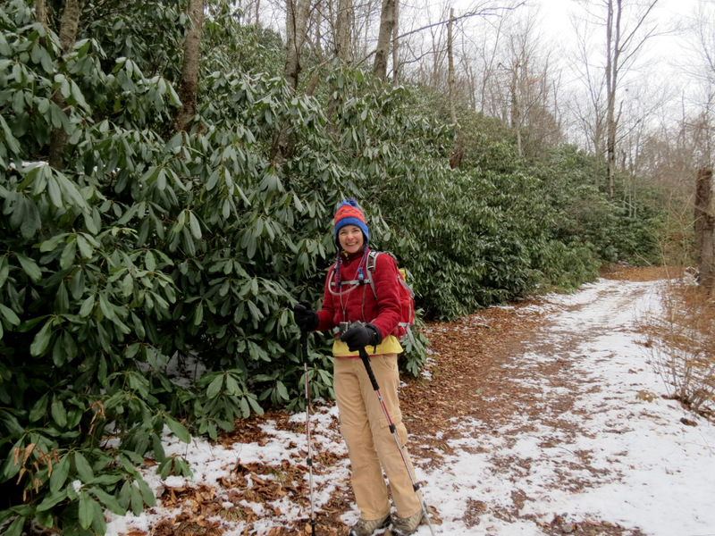
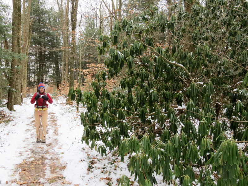 Rhododendron |
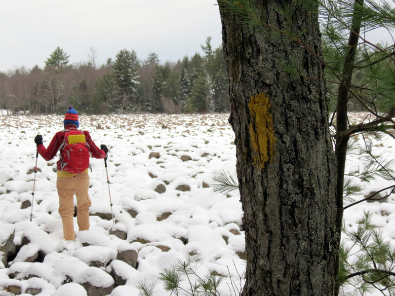
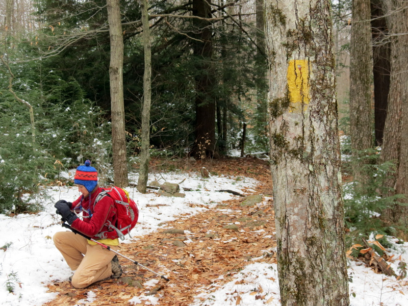 Faded yellow blaze |
 |
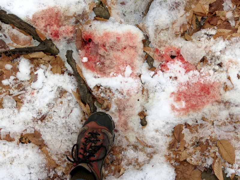 Blood from deer kill |
 |
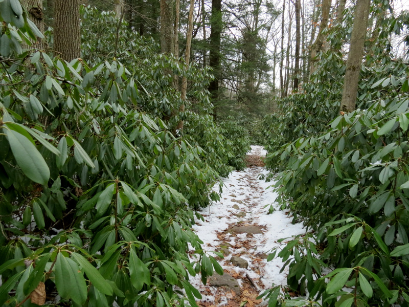
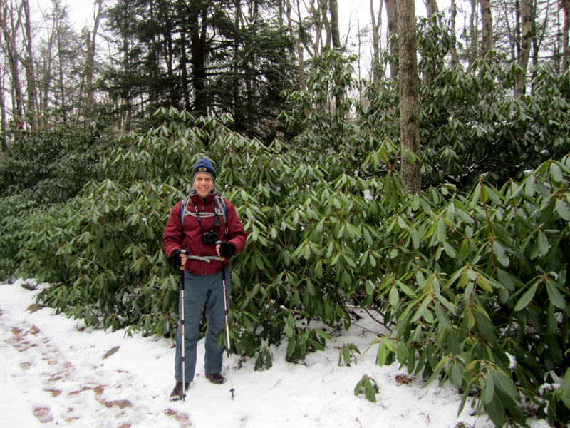
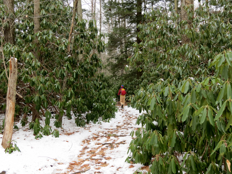 Rhododendron thicket |
 |
 Stage Trail view east |
 Stage Trail view west |
 |
 Mountain Laurel thicket |
 [Photo by Laura] |
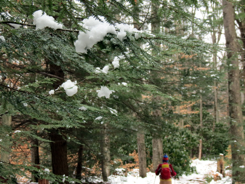
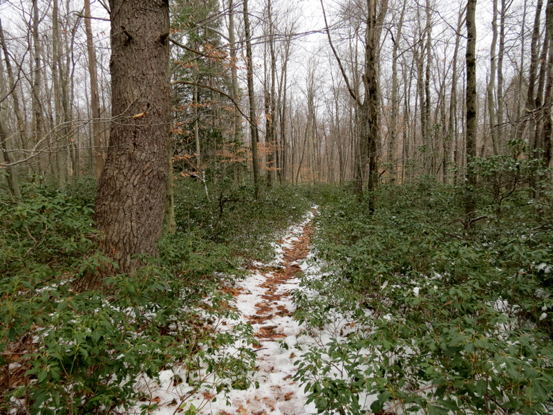
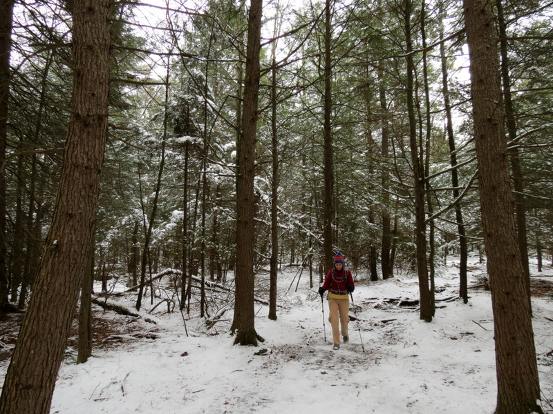
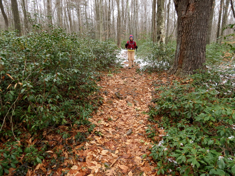
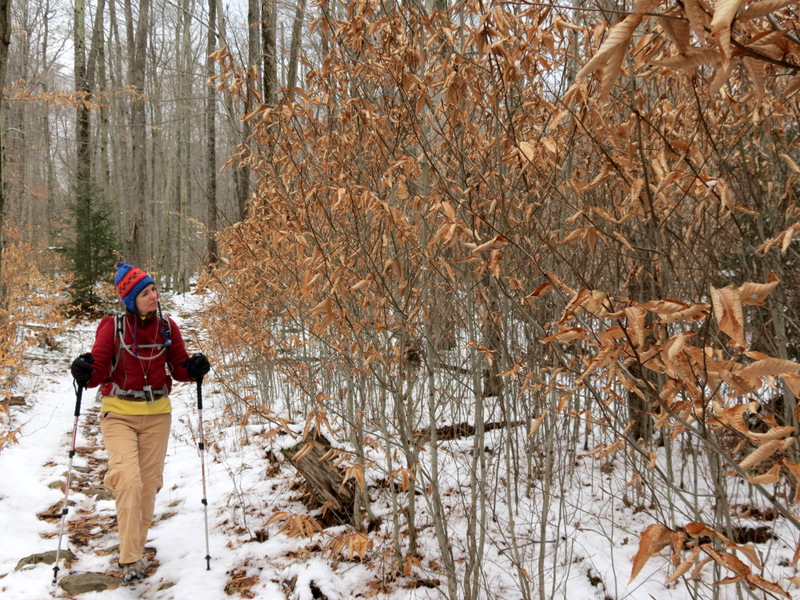
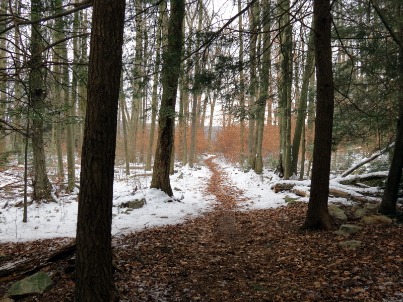
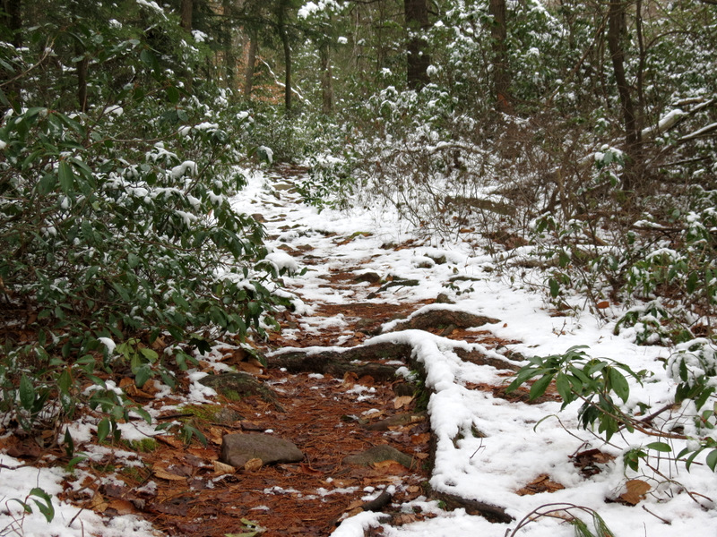 Lovely snowy trail |
 Evergreens ... |
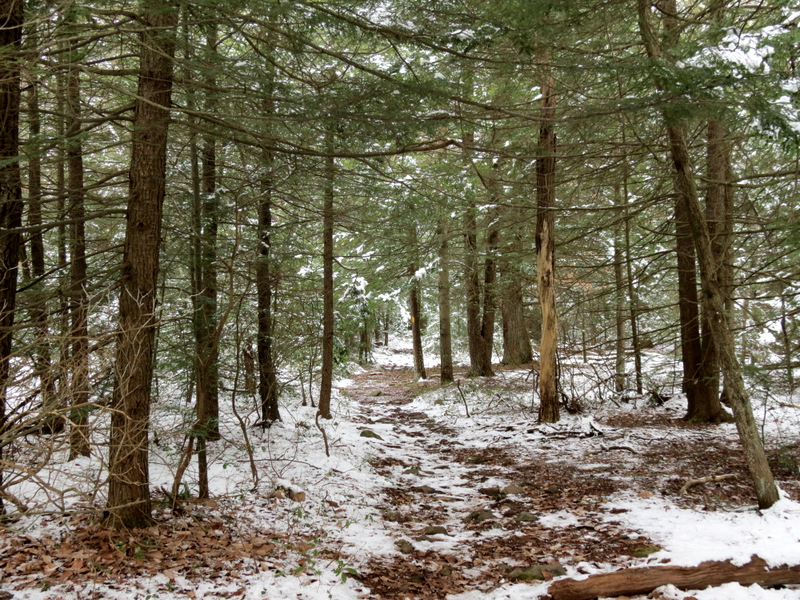 ... abound north ... |
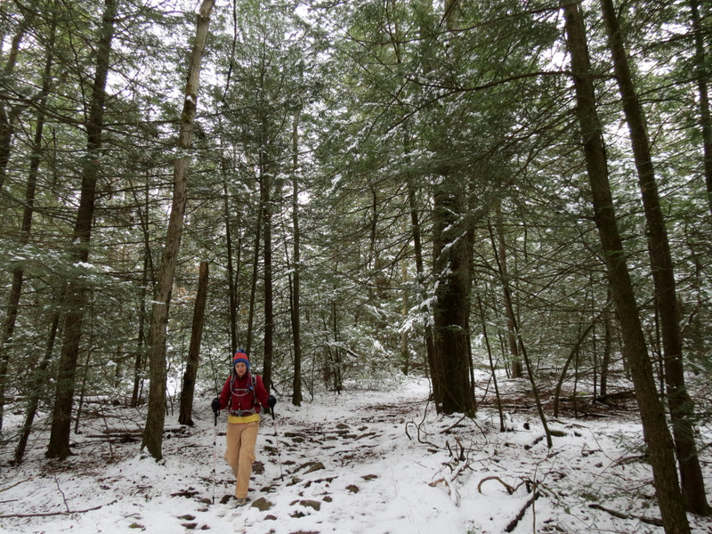 ... of the Stage Trail |
 |
 Snow resembled ... |
 ... sprinkled powdered sugar |
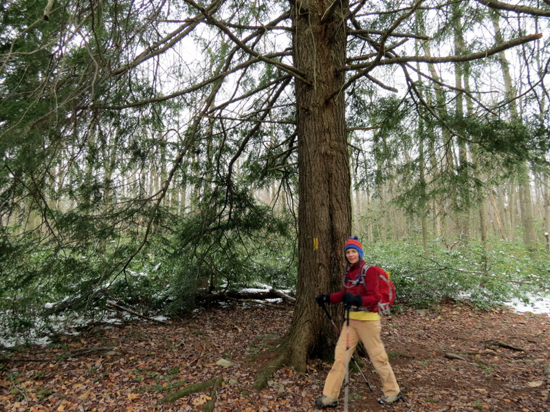
 Tall evergreens |
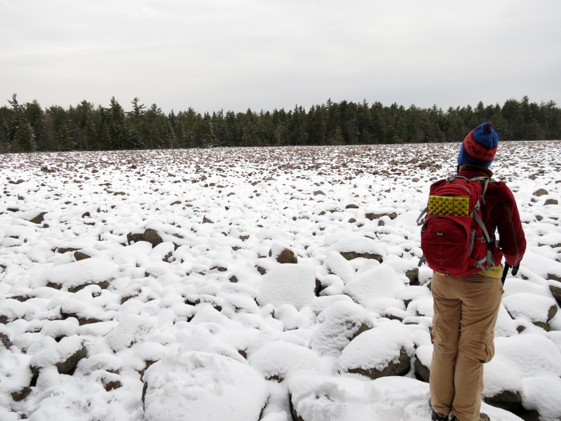
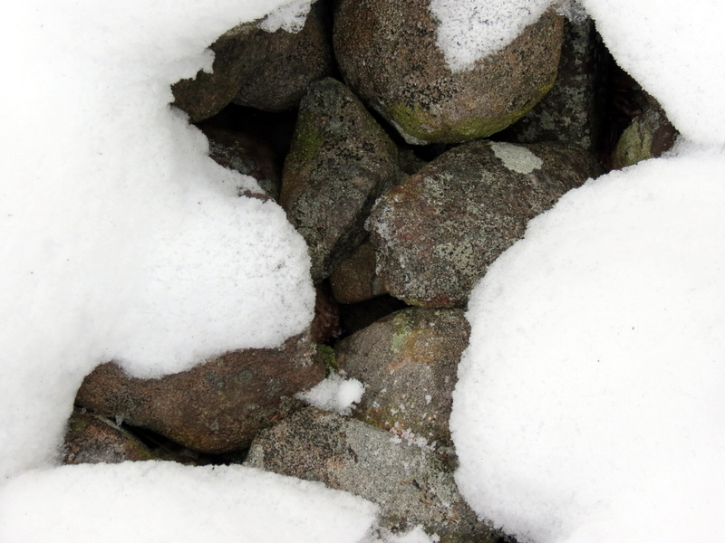
 Boulder field |
 |
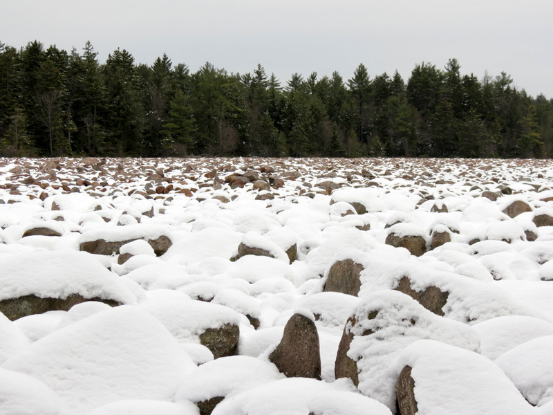
 Totally ... |
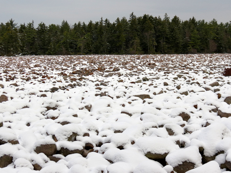 ... covered ... |
 ... in snow |
 Natural depression called a "relief" |
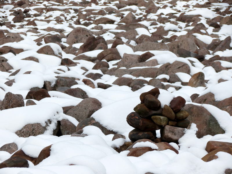 See the cairn? |
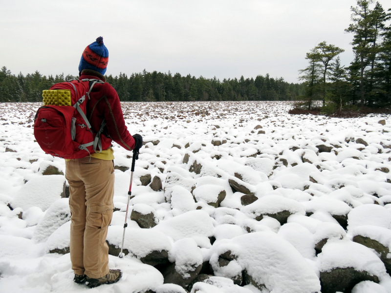
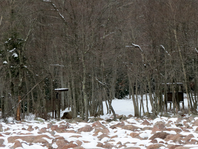 Zoom to kiosks on other side |
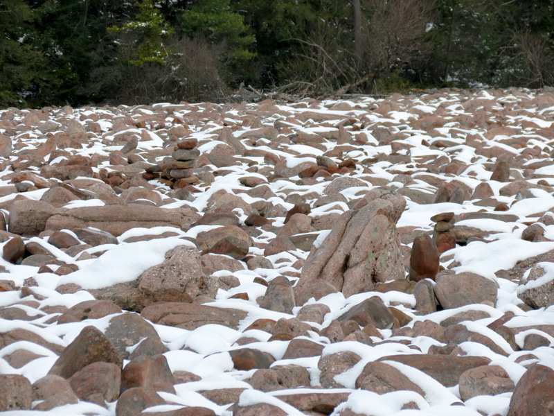 More cairns |
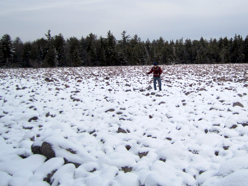 Dan straying [photo by Laura] |
 View across to the north |
 View east |
 |
 |
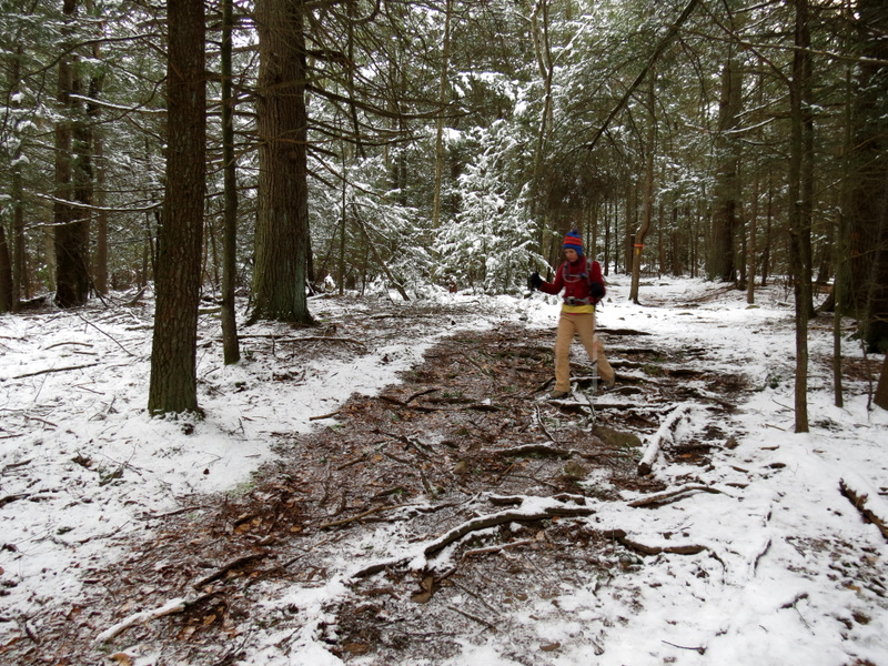
 Back to trail |
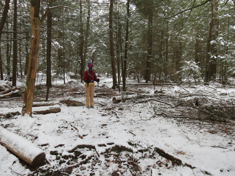
 Sandy damage |
 |
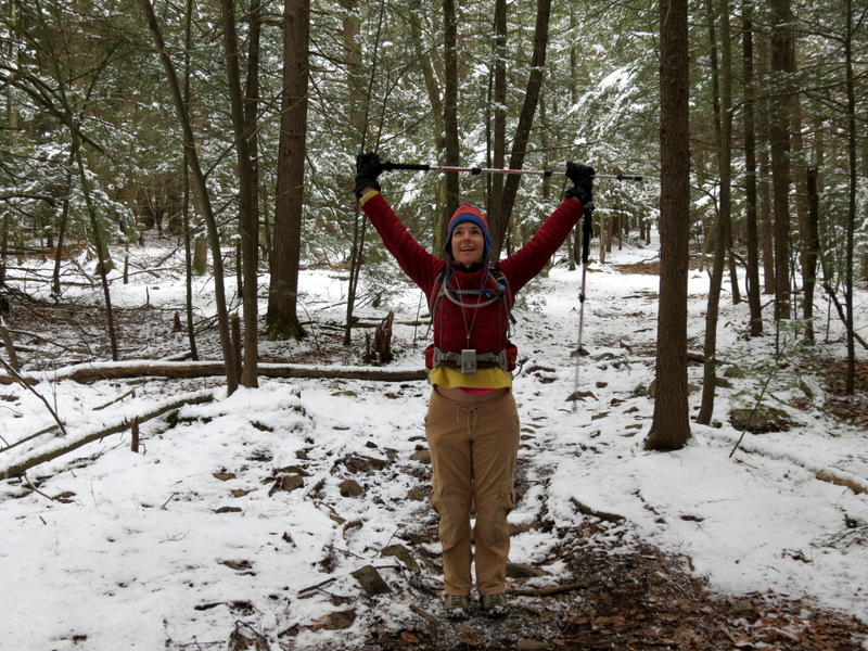 Stretching |
 Mountain Laura with Mountain Laurel |
 |
 |
 Very old growth |
 |
 [Photo by Laura] |
 |
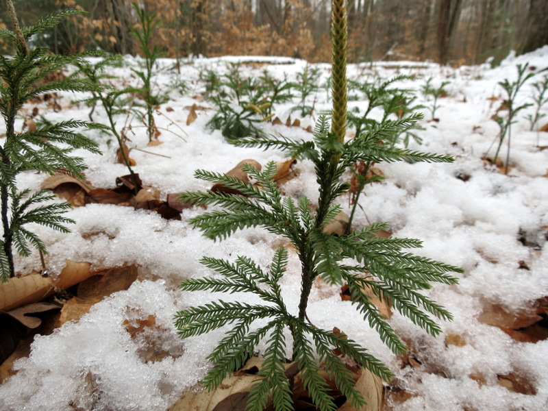 Very young growth |
 Thin saplings |
 Creek |
 |
 Deer fur |
 |
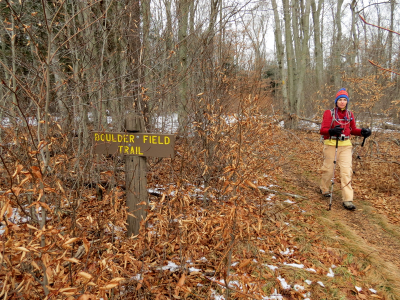 Boulder trail head |
 View across meadow |
 Parking on both sides |
 Descending steps |
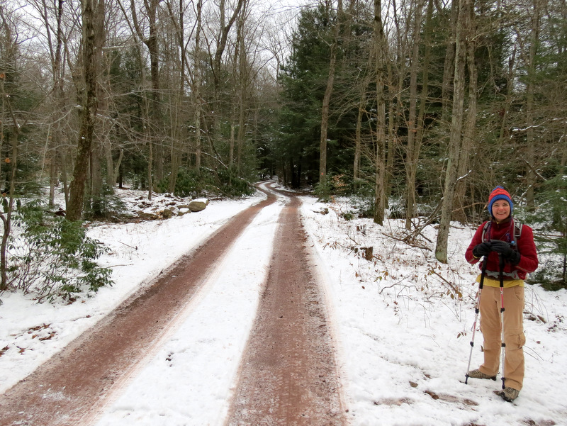
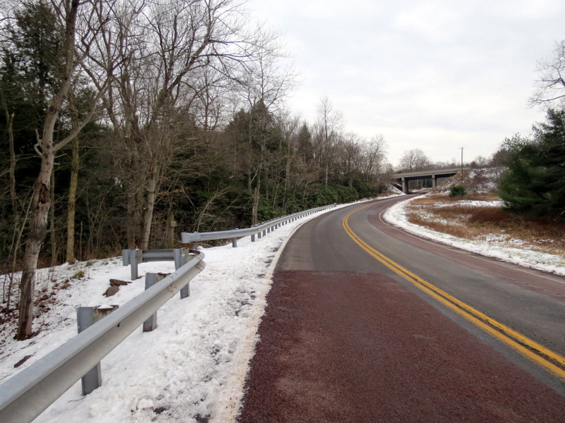 Crossing Route 534 |
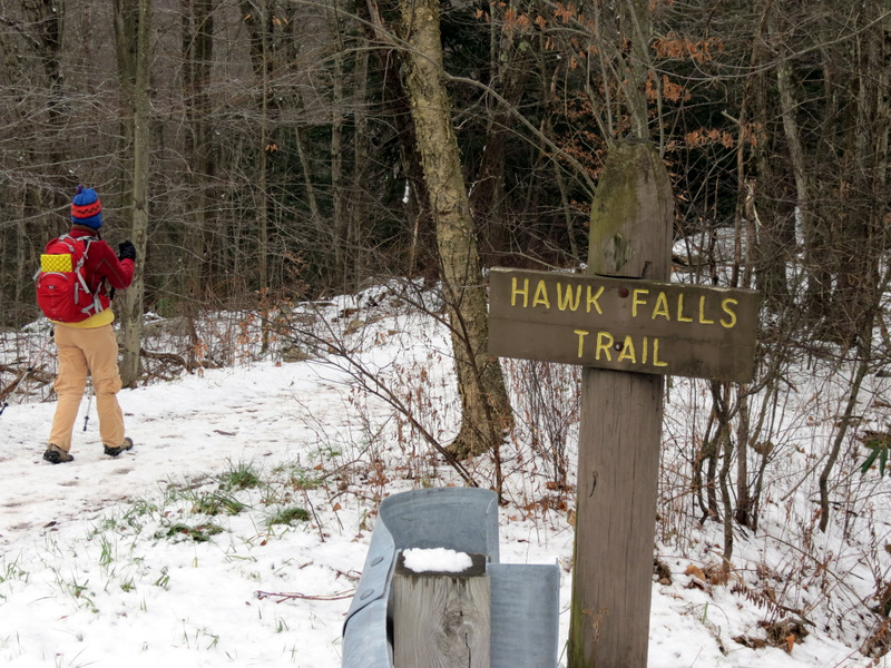 Hawk Falls trail head |
 Steep drop to left |
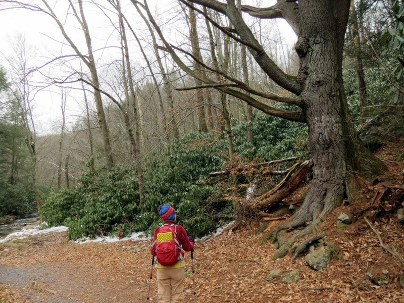
 More rhododendron |
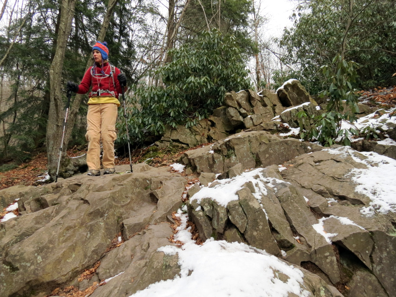
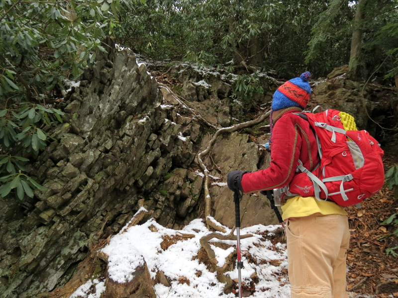 Interesting ... |
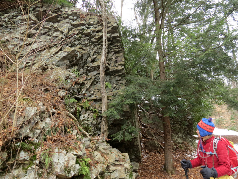 ... rock formation |
 |
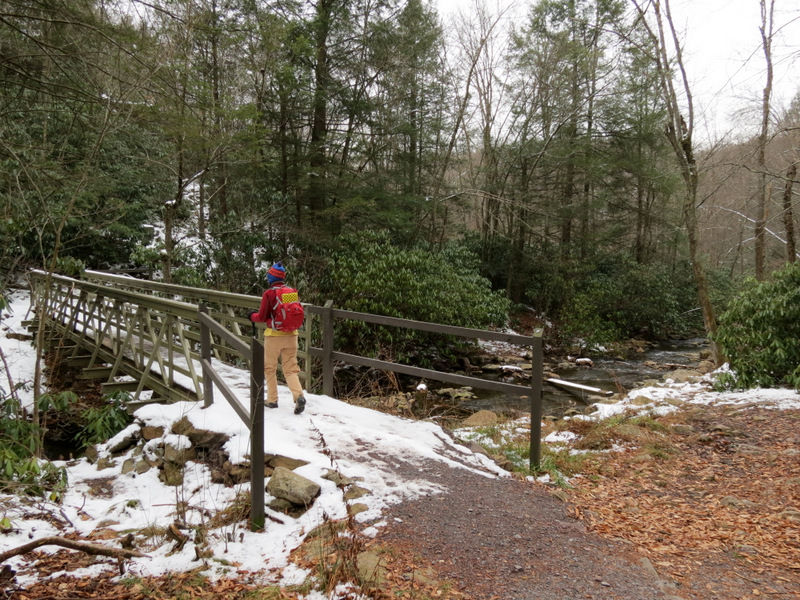 Bridge over Hawk Run |
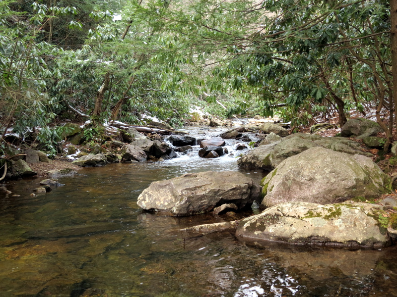
 Hawk Run |
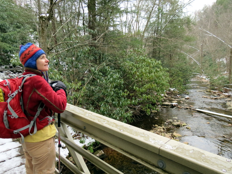 View south from bridge |
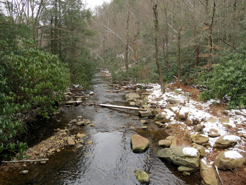 Hawk Run |
 |
 |
 [Photo by Laura] |
 |
 Graffiti tree! |
 Descending to ... |
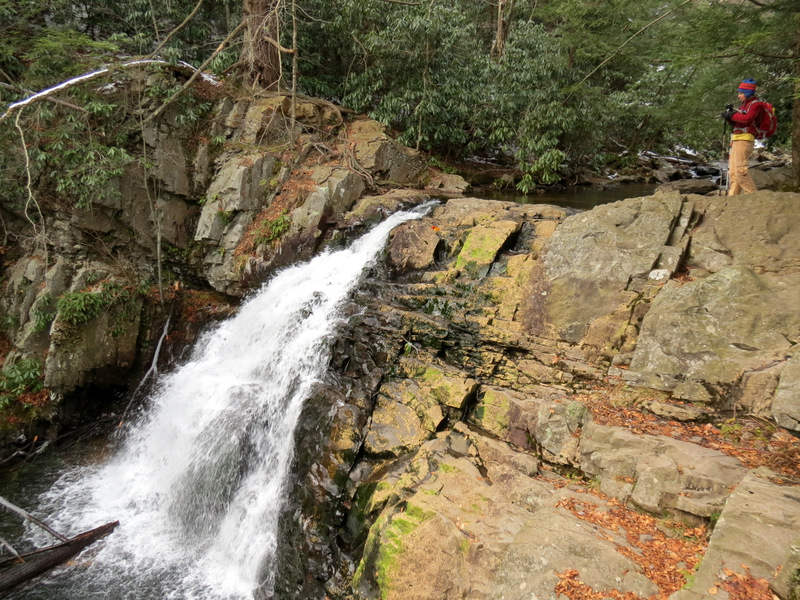 ... Hawk Falls |
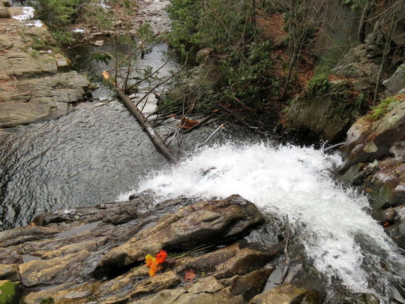
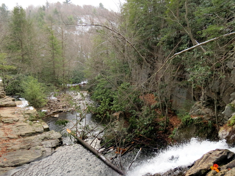 View from top of falls |
 View upstream from falls |
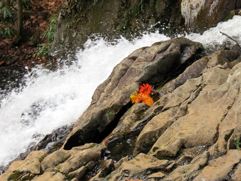 Someone placed fresh flowers |
 |
 View from the top |
 |
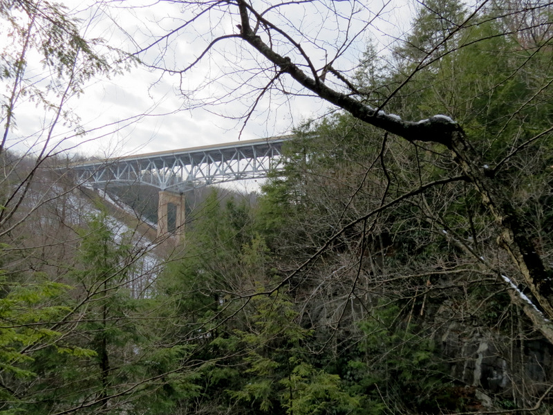 PA Parkway bridge |
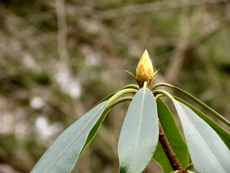 Rhododendron bud |

|
|
Photographs and content copyright © Dan Balogh Web design by Dan Balogh |