 |
|
Monk's Mountain at Monksville Reservoir is an old stand-by when we are short on time (it's not far from us and the one blazed trail takes less than 2 hours).
It was a stand-by today as well, but this time because the majority of New Jersey and New York parks are still closed two weeks after ferocious Hurricane Sandy.
Intent on stretching our legs (we missed last weekend because of the hurricane) but also intent on exploring new trails, I designed a hike which visited
trails in and around the mountain, using the white trail as little as possible, having hiked it three times in the past.
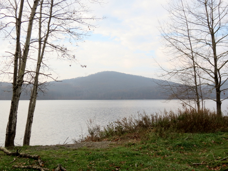
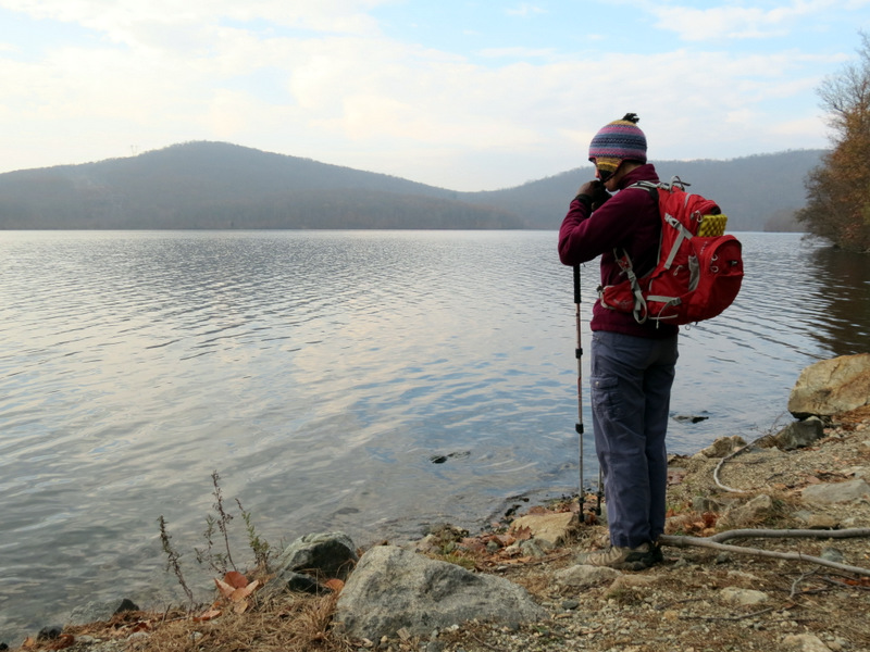
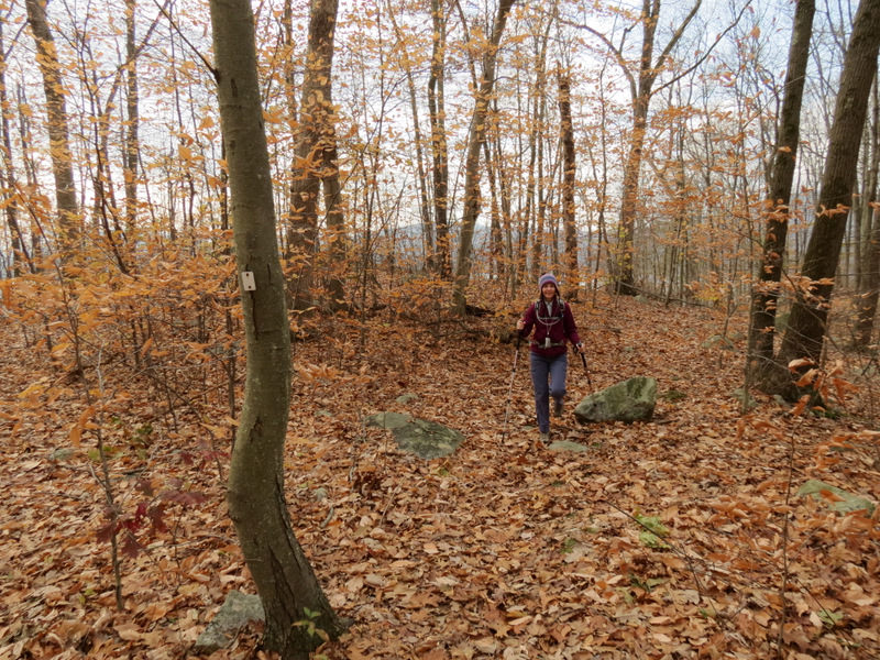
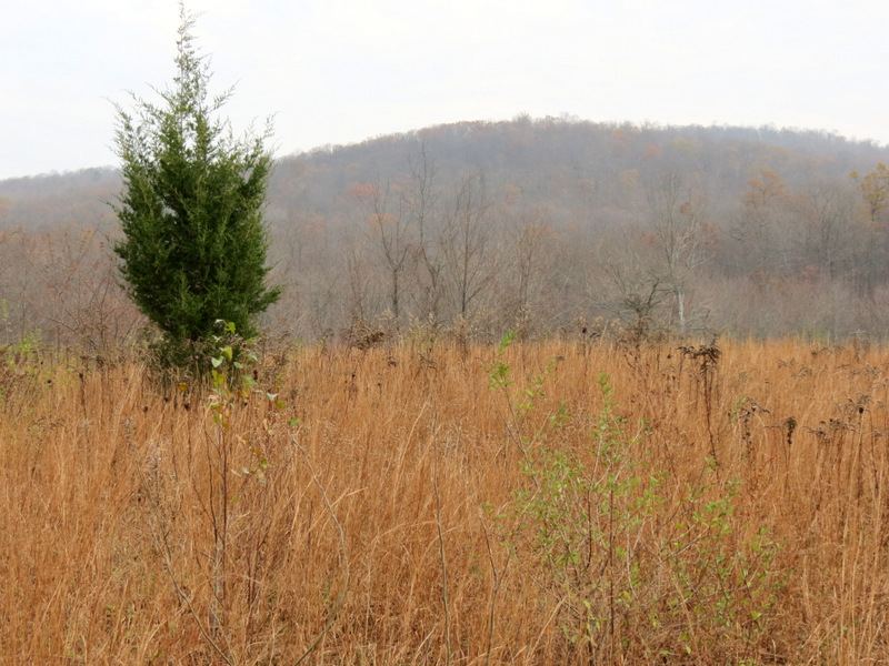
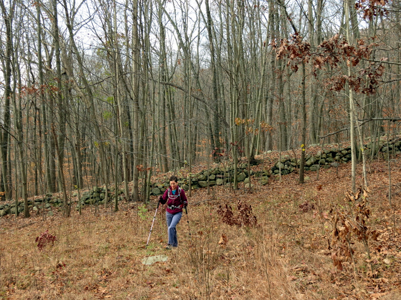
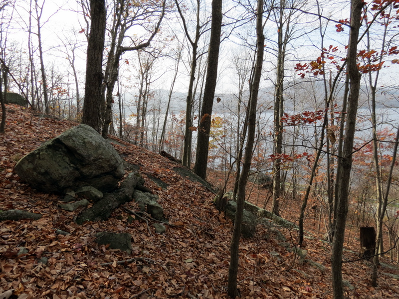
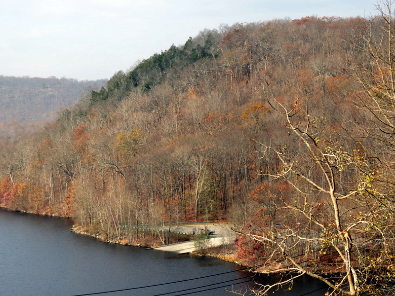
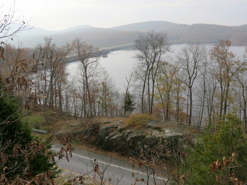
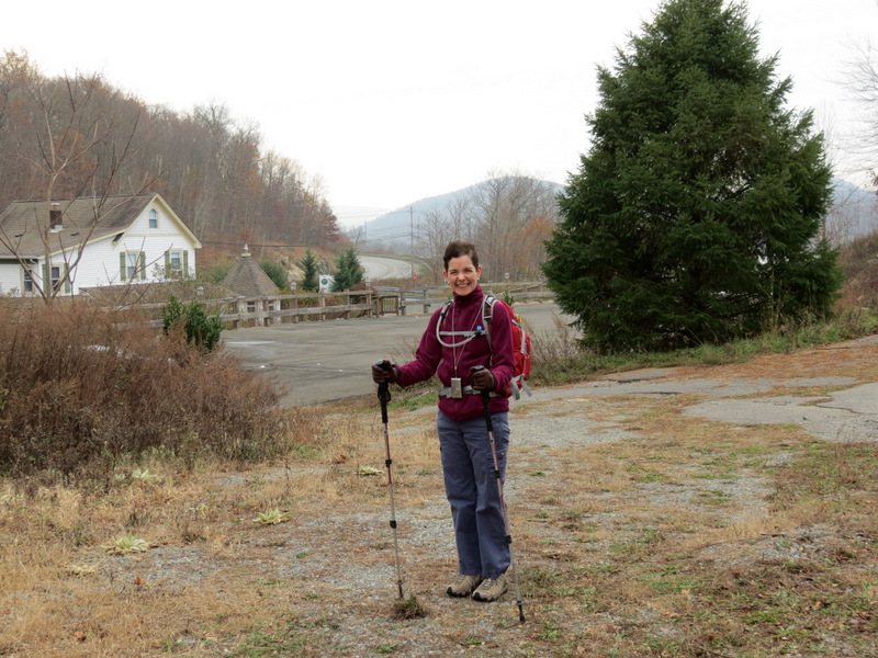
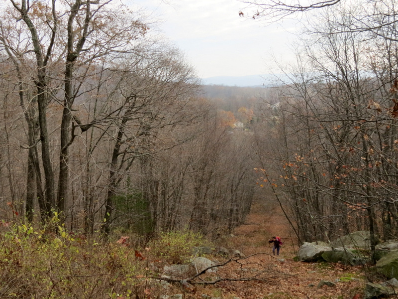
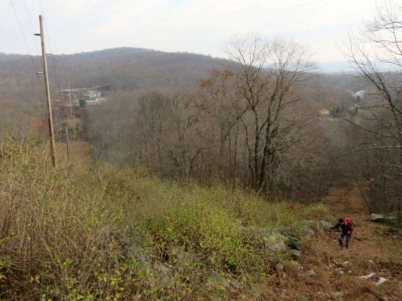
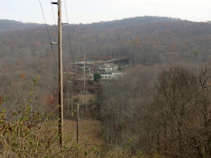
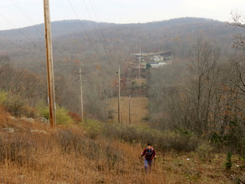
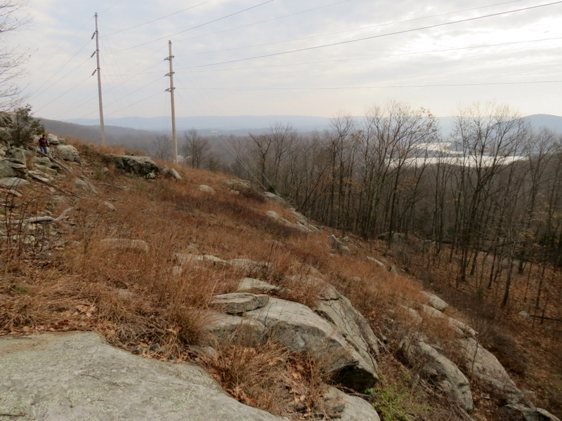
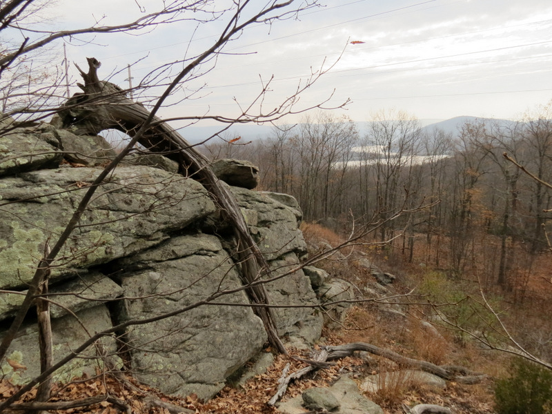
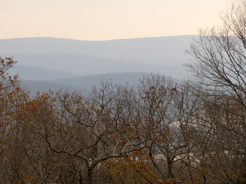
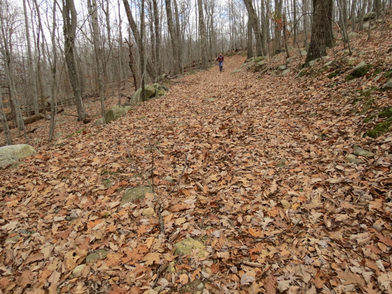
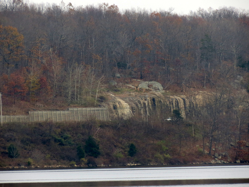
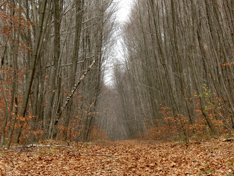
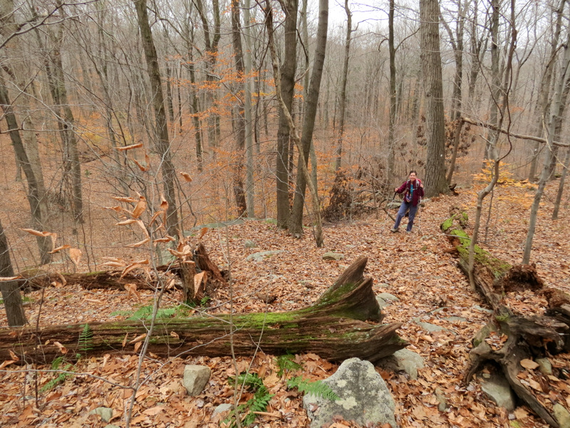
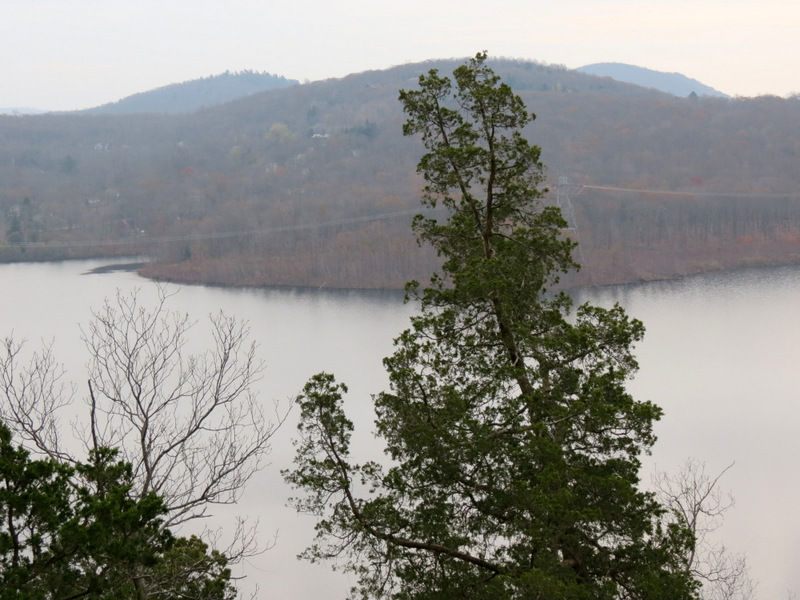
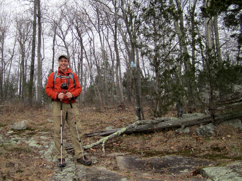
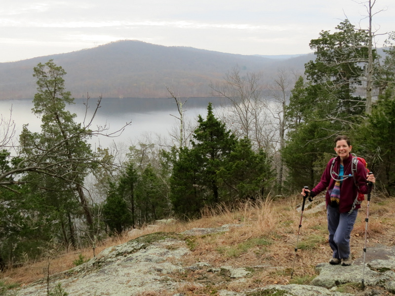
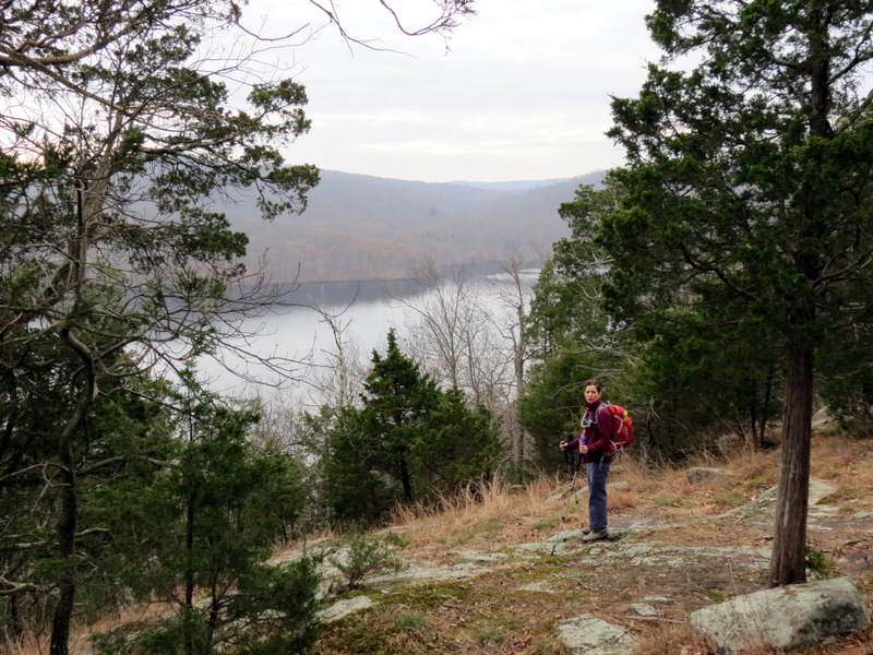
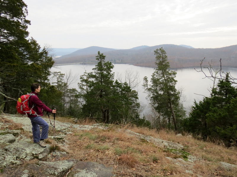
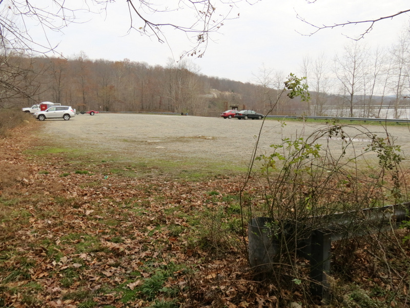
Today, for the first time, we started at the south boat launch, where there is a large parking lot (as there is at the north launch). We headed west into the forest and, following a woods road, found a newly-blazed yellow trail heading east towards Greenwood Lake Turnpike. We didn't know it at the time, but we were following a trail at the Highlands Meadow complex. We took yellow counter-clockwise until we picked up another section of yellow north of Greenwood Lake Turnpike. We explored the area around Board Mine (which we never actually saw) until reaching the fantastic vista over Monksville reservoir from a rock ledge above the turnpike. We headed back to the Highlands Meadow complex and continued on yellow counter-clockwise until finally reaching a woods road which we took north to the spectacular gaping Winston Mine. Trying to use the white trail as little as possible we turned west into a gasline cut and climbed the mountain steeply. We should have continued west in the gasline cut but I decided to head SW in the powerline cut. This was a mistake since there was no road or trail in the cut and we were forced to bushwhack on very rugged terrain north of the cut before reaching a nice woods road heading west to the reservoir. We continued on another woods road south until it ended at the very southern tip of Monk's Mountain where we had lunch, a great spot. We headed back north on the same woods road in order to pick up (finally) the white trail which we took east to the vista we visited at least three times in the past and then back to the car. Totally distance hiked today was 5.8 miles in just over 3.5 hours.
|
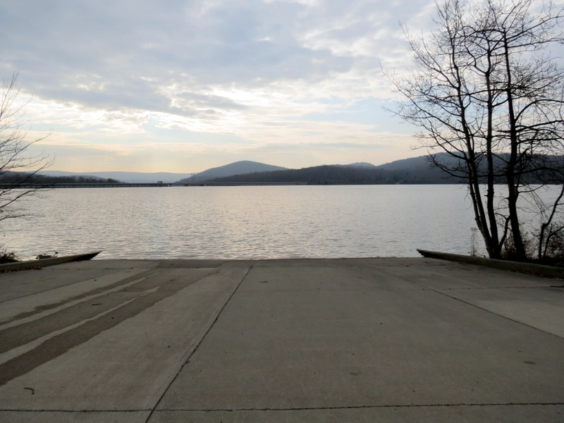 South Boat Launch |
 |
 Large parking area |
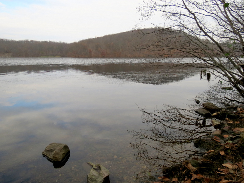
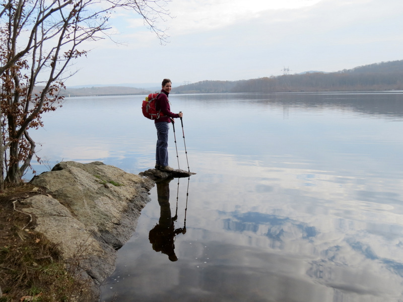
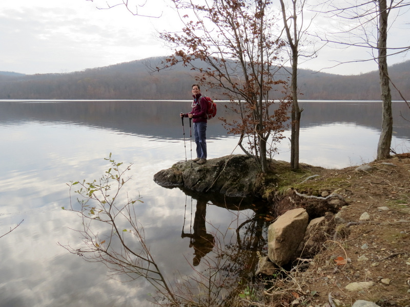
 Trail along bank |
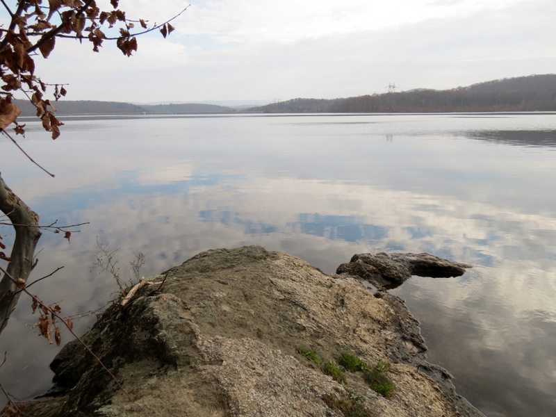
 On bank of ... |
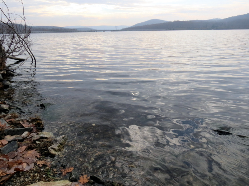 ... Monksville Reservoir |
 Climbing |
 On white [photo by Laura] |
 Descending white to ... |
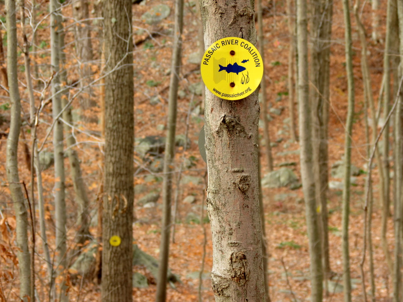 ... new yellow trail |
 Highlands Meadow |
 |
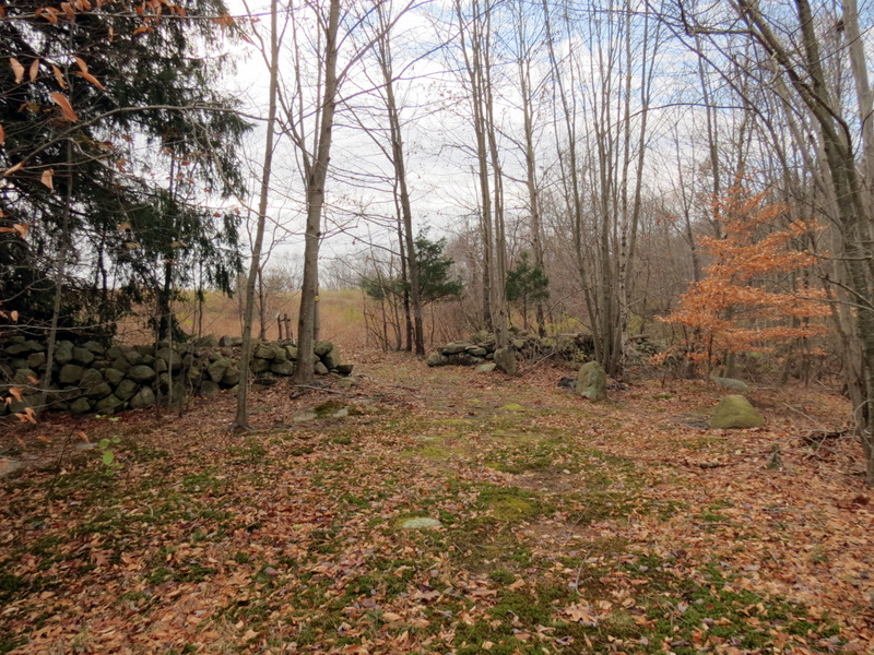
 Homestead wall |
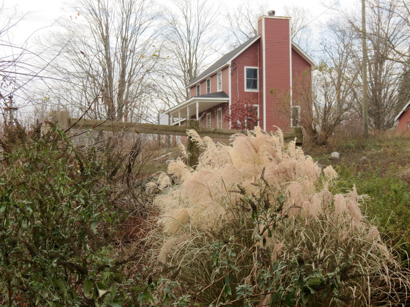
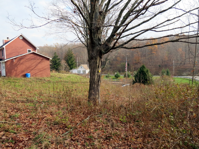 Harry Vreeland house |
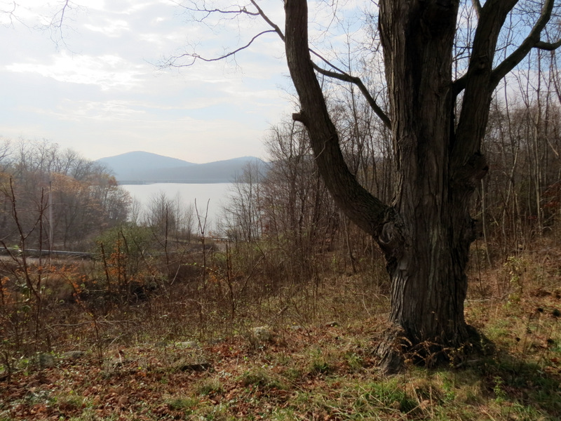 Reservoir from house |
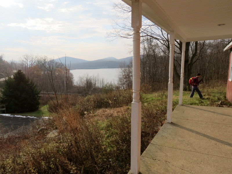 Front porch |
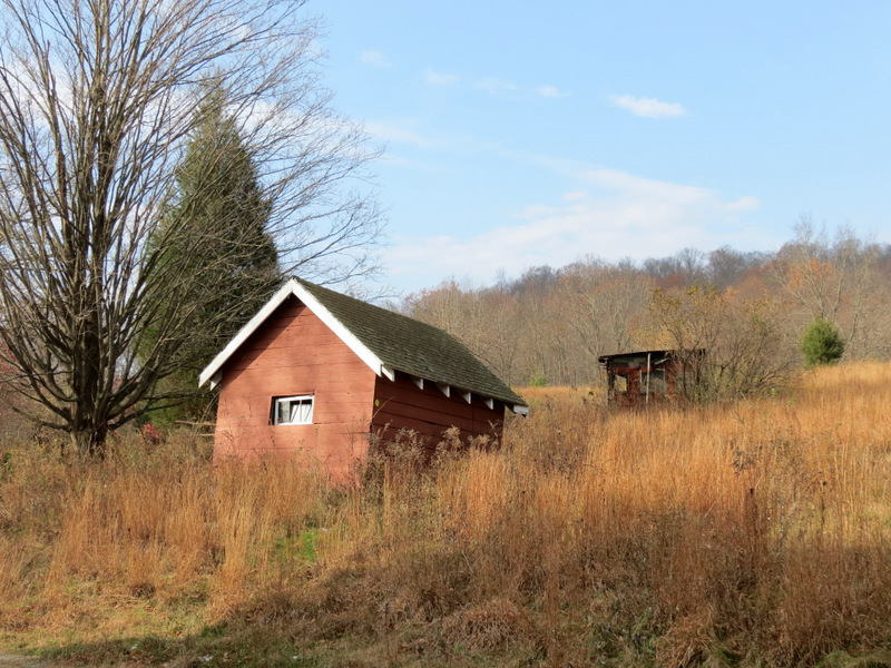 Sheds |
 Vreeland house |
 On Waterview side |
 |
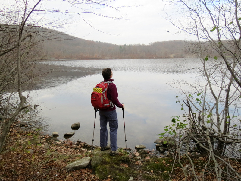
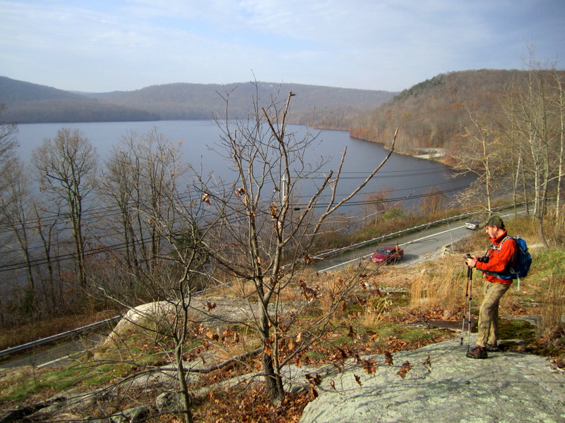 Vista of reservoir [photo by Laura] |
 South boat launch from vista |
 Great view |
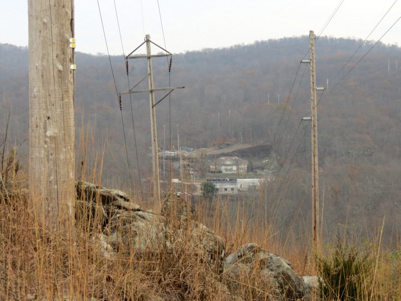
 Greenwood Lake Turnpike below |
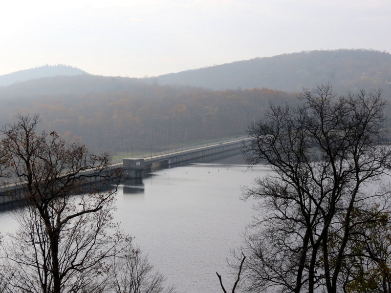 Monksville Reservoir dam |
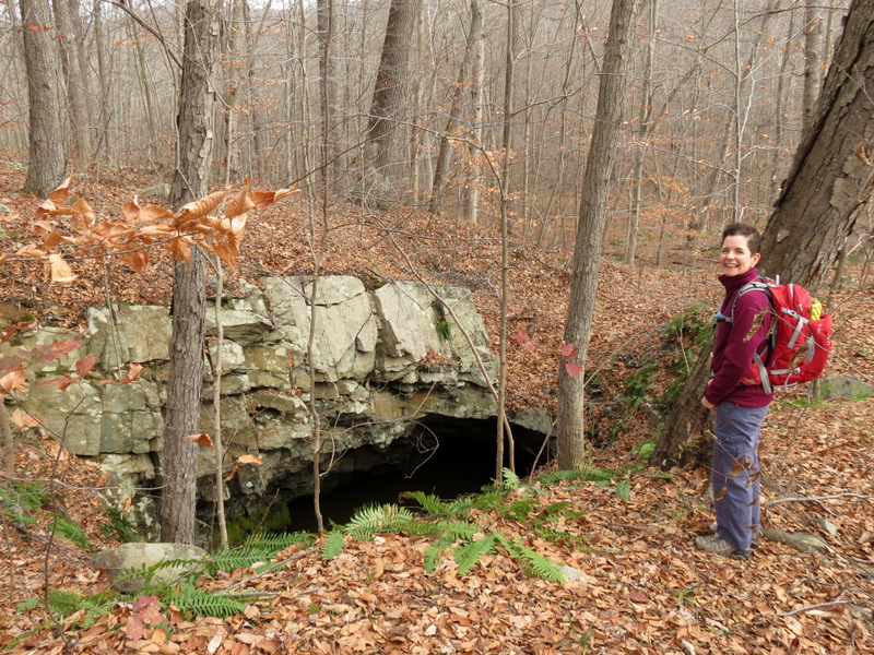
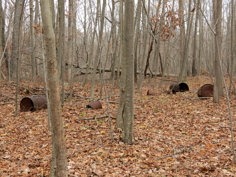 Board mine cans |
 Hurricane Sandy damage |
 Deer jaw! [photo by Laura] |
 Back to Vreeland house |
 At Highlands Meadow |
 |
 Boundary wall |
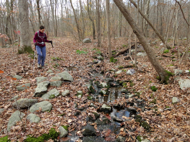 Stream |
 Various ... |
 ... shots of ... |
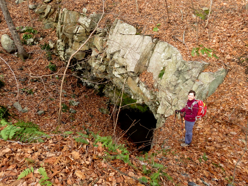
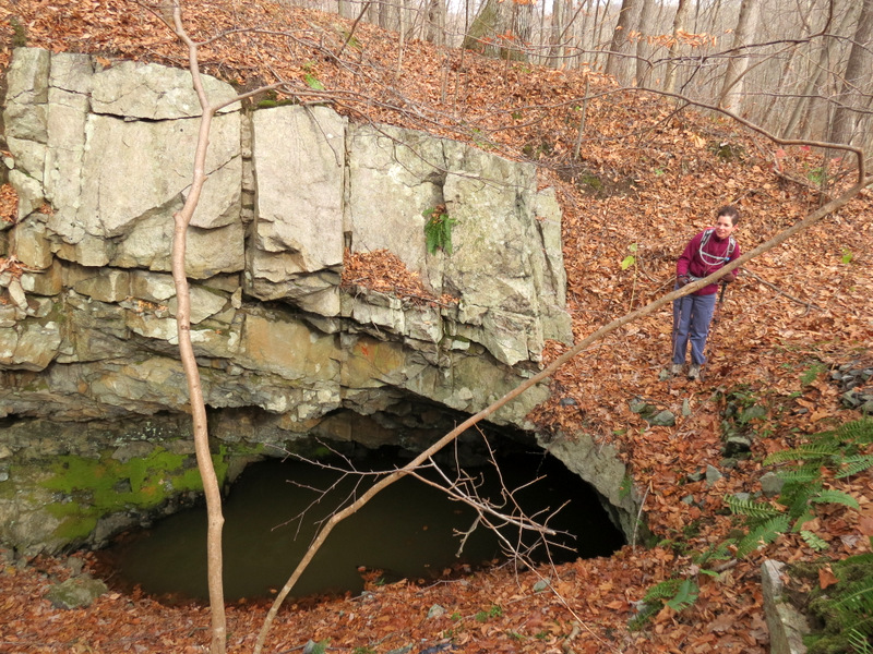
 ... Winston Mine |
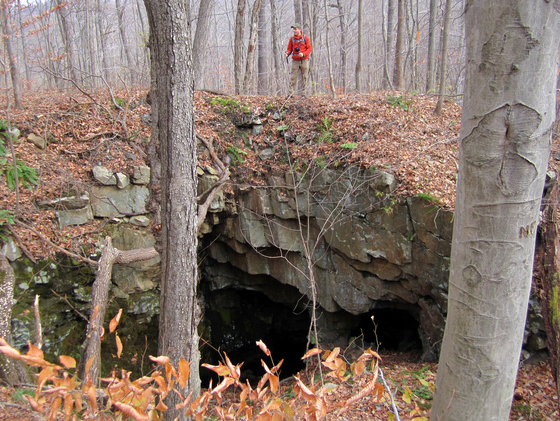 Winston Mine [photo by Laura] |
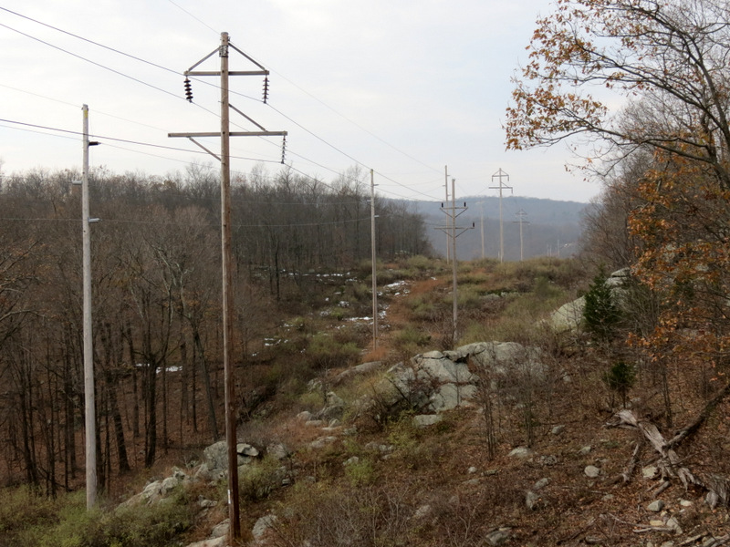
 Climbing gasline cut |
 |
 |
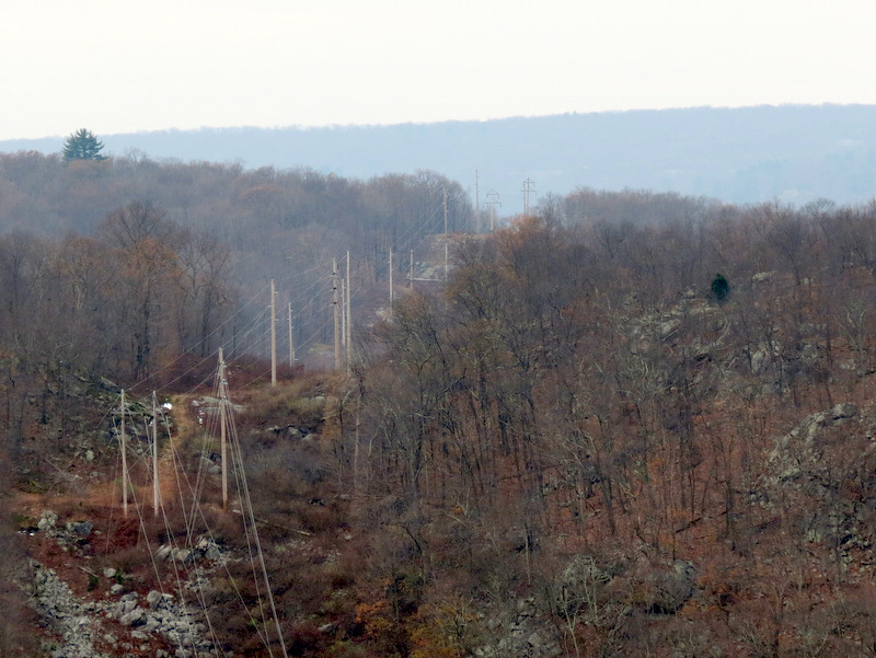
 View from powerline cut |
 |
 Reservoir from cut |
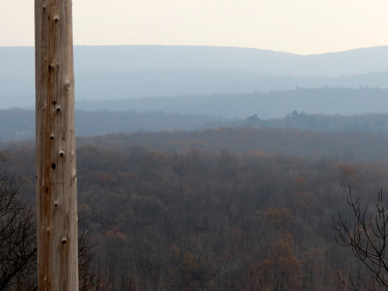 Mountains in distance |
 Laura rock scrambling |
 Resevoir in distance |
 View west in cut |
 Reservoir |
 |
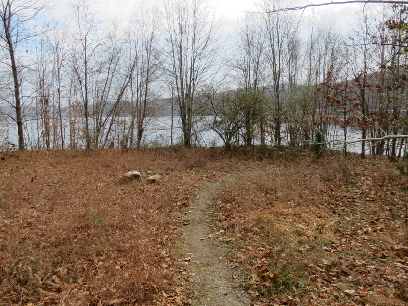
 Finally a woods road! |
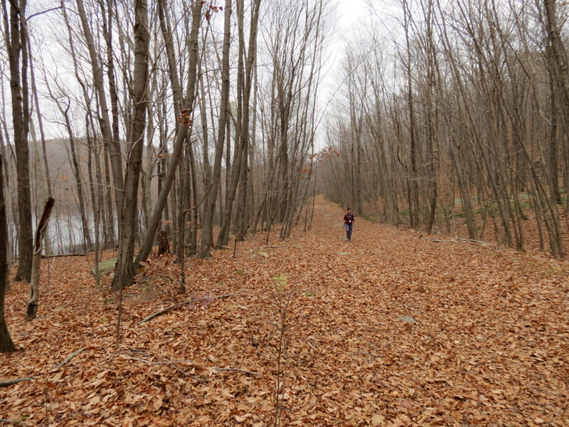 Woods road along reservoir |
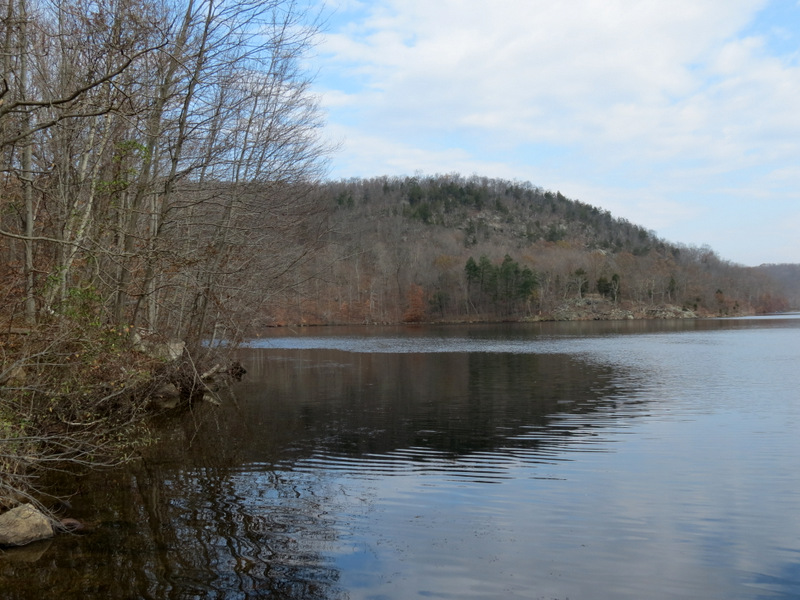
 Monksville Reservoir western arm |
 |
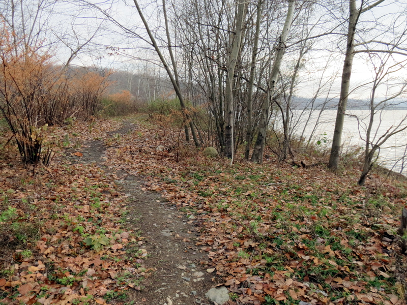
 Trail to southern arm |
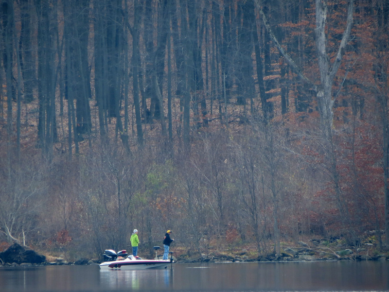 Fishing |
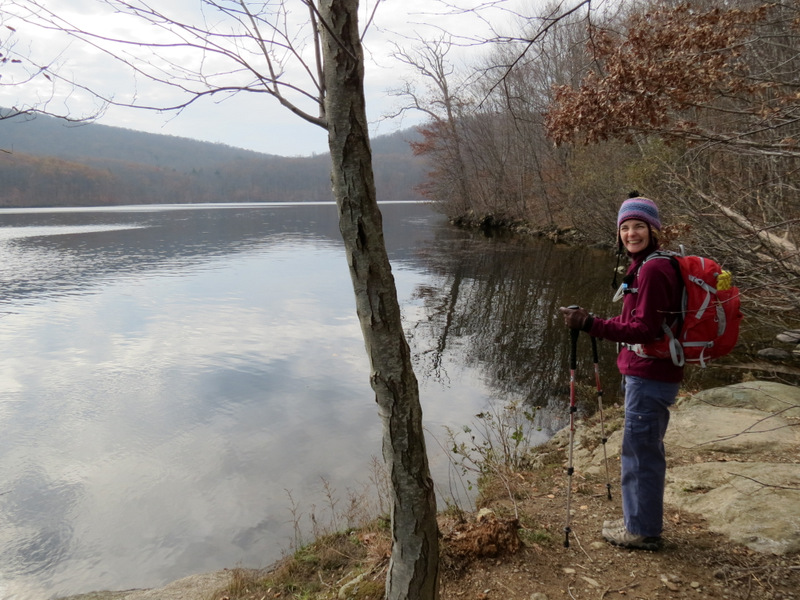
 Laura on the tip |
 From other direction |
 View from tip |
 Zoom to lookout from earlier |
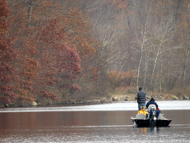 More fishermen |
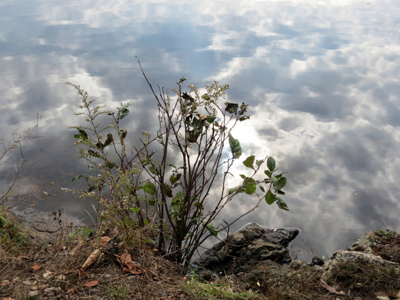 Reflections |
 We're heading there next |
 Reservoir dam |
 Our lunch spot |
 Woods road north |
 |
 Serious climbing ... |
 ... on white |
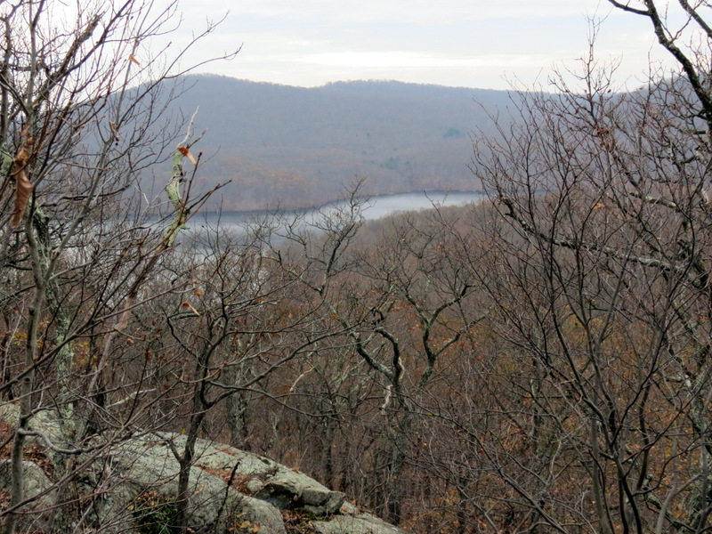
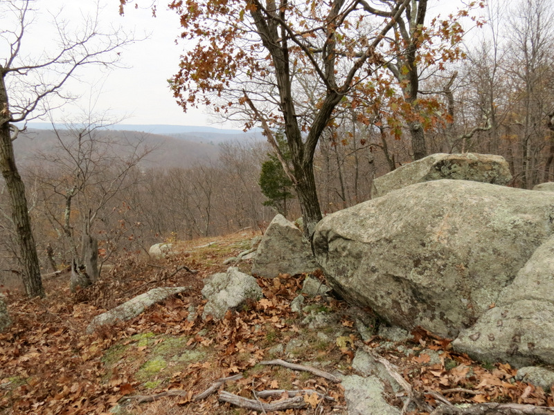 Vista not on map |
 Powerline cut west |
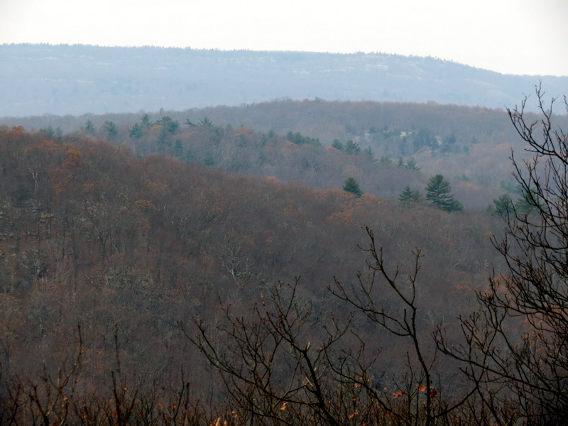 Rolling hills west |
 Reservoir |
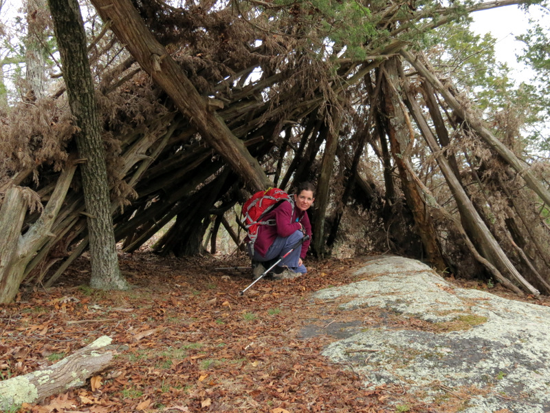 Laura in lean-to |
 Reservoir from vista off white |
 [Photo by Laura] |
 |
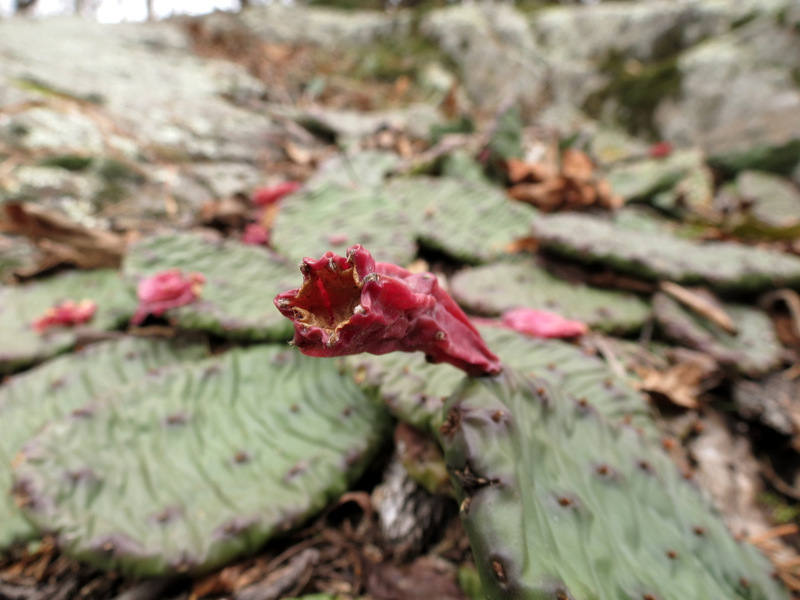 Cactus |
 Views of ... |
 ... Monksville Reservoir |
 Back to parking lot |

|
|
Photographs and content copyright © Dan Balogh Web design by Dan Balogh |