 |
|
[For an introduction to this four-day hike, see Day 1.]
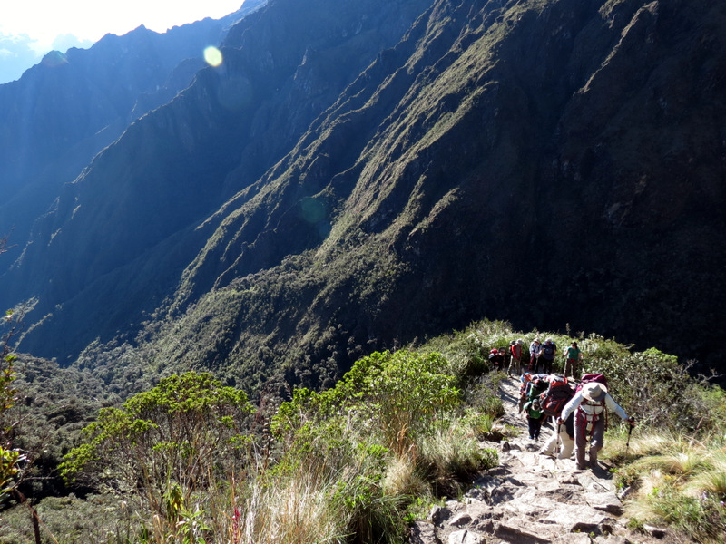
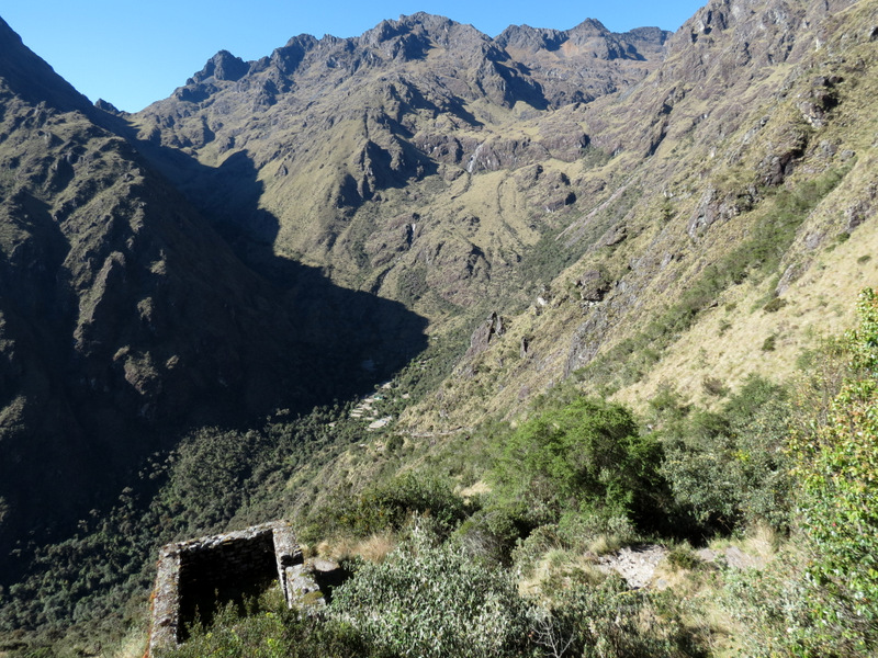
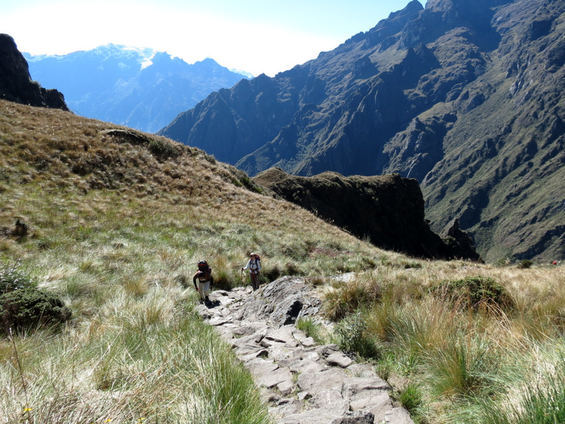
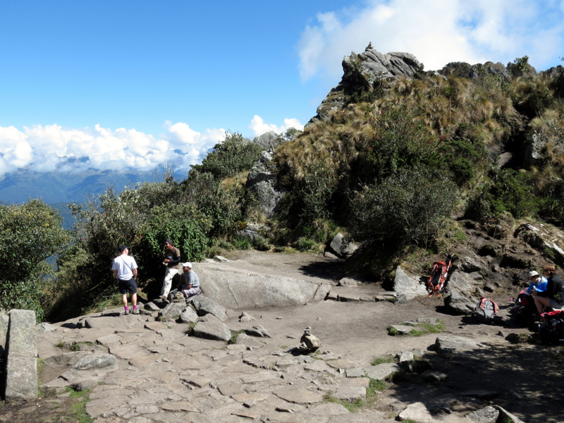
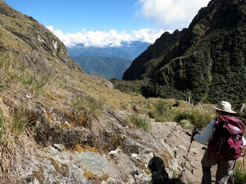
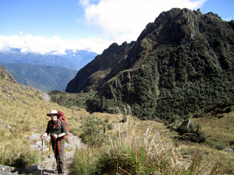
Day 3: This was the longest day of the hike with the most distance covered and the most varied terrain. It started out like a miniature version of Day 2, climbing steeply, only instead of climbing 4,000 feet, we climbed just over 1,000 feet at which point we descended (just like yesterday) all the way back down to the earlier elevation on Inka steps. There were plenty of ups and downs after that, with the last leg being another long descent putting us back at the altitude of the very start on Day 1. Much of the trail today passed through a wonderful cloud forest with plants I have never seen anywhere before. There were also visits to several archeological sites along the way. Total distance hiked today was about 9.5 miles in about 10 hours.
Continue to Day 4
|
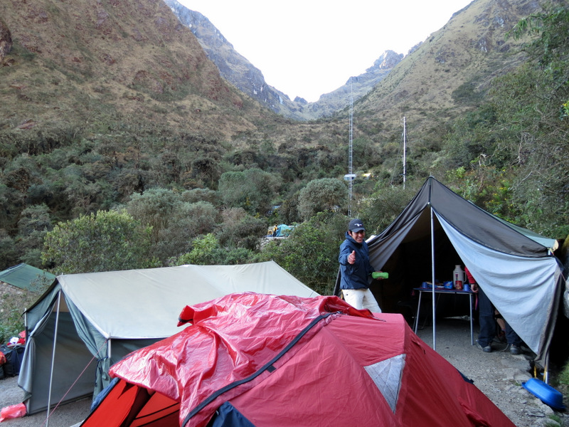 Pacaymayo campsite |
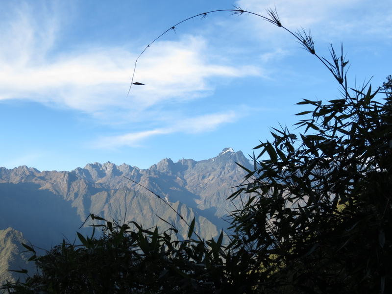
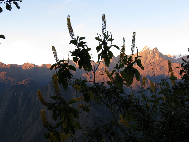
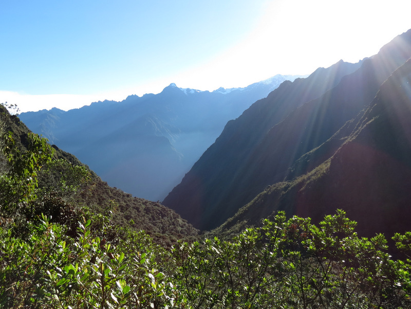 Another gorgeous day |
 Becky snapping Col |
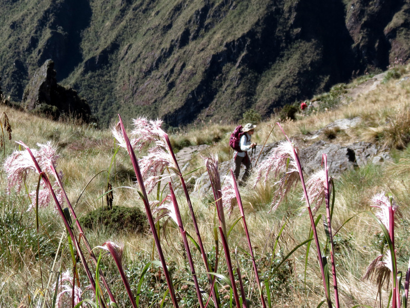
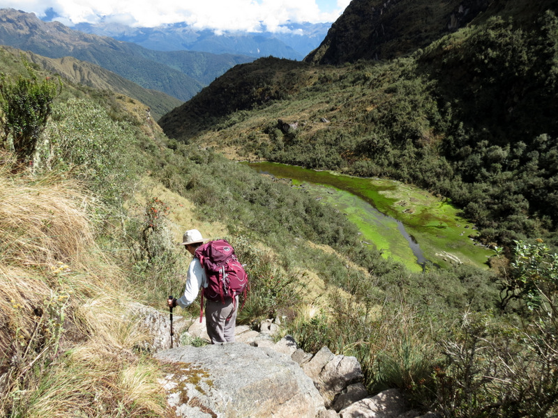
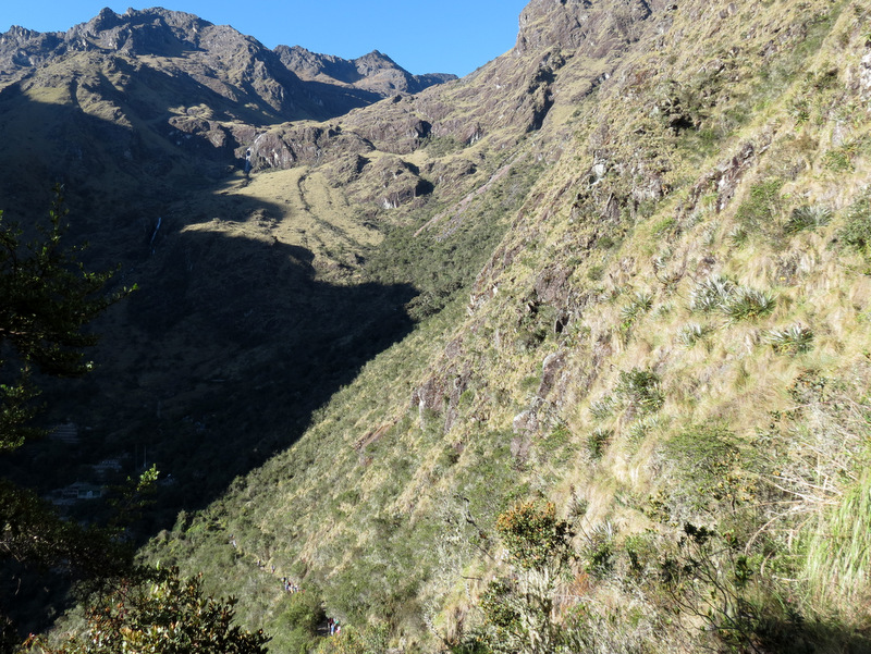 Trail below to the left |
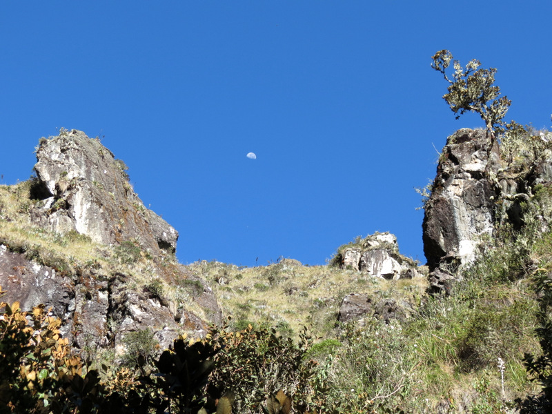 Moon over the Andes again |
 Climbing to the moon |
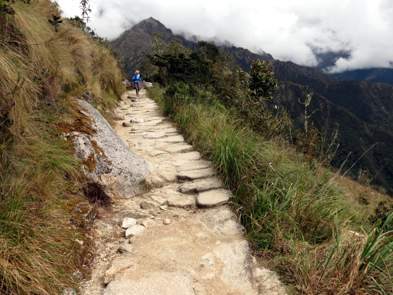
 Laura climbing steadily |
 |
 Inside Runkurakay |
 |
 Runkurakay from slightly above |
 Ascending from Runkurakay |
 |
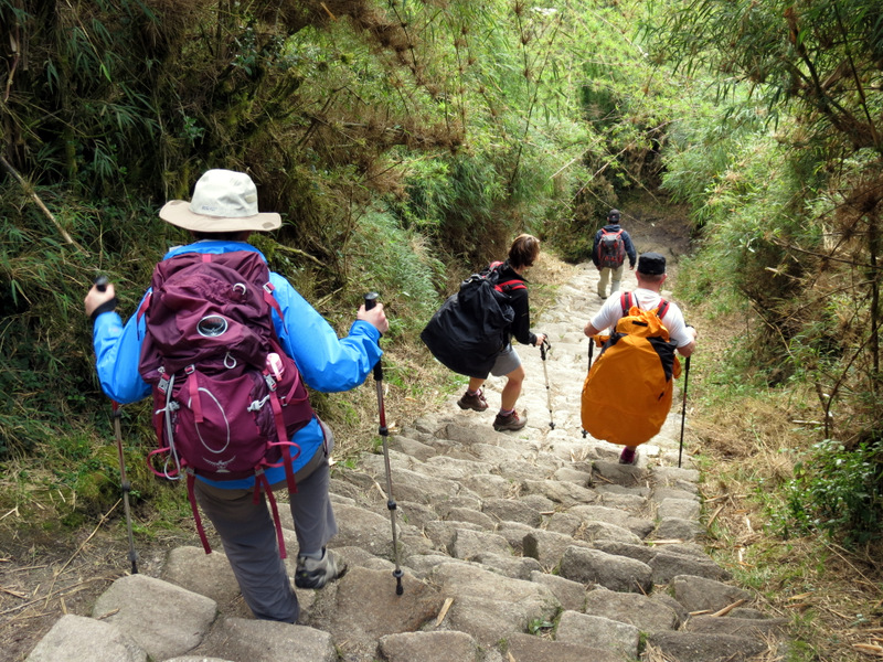
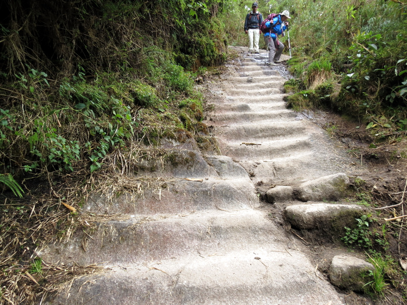
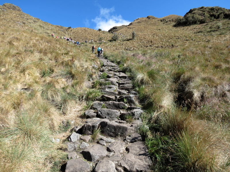 Climbing Inka steps |
 Franklin and Laura |
 |
 Franklin & Laura at left above lake |
 |
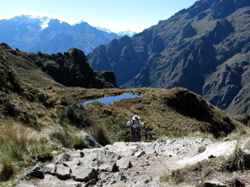 Ascending from lake |
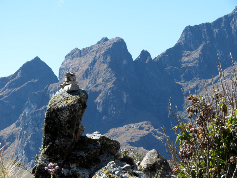 Cairns |
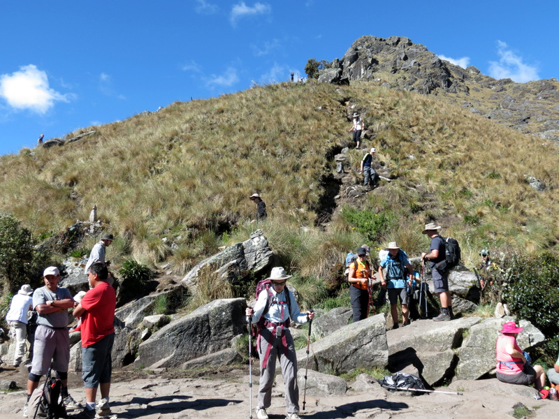 Runkurakay Pass: High point of day |
 |
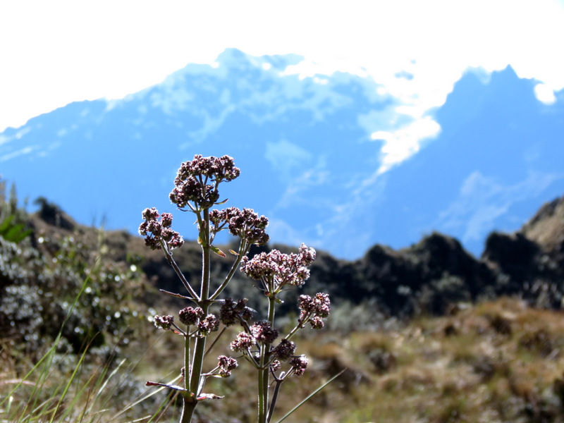
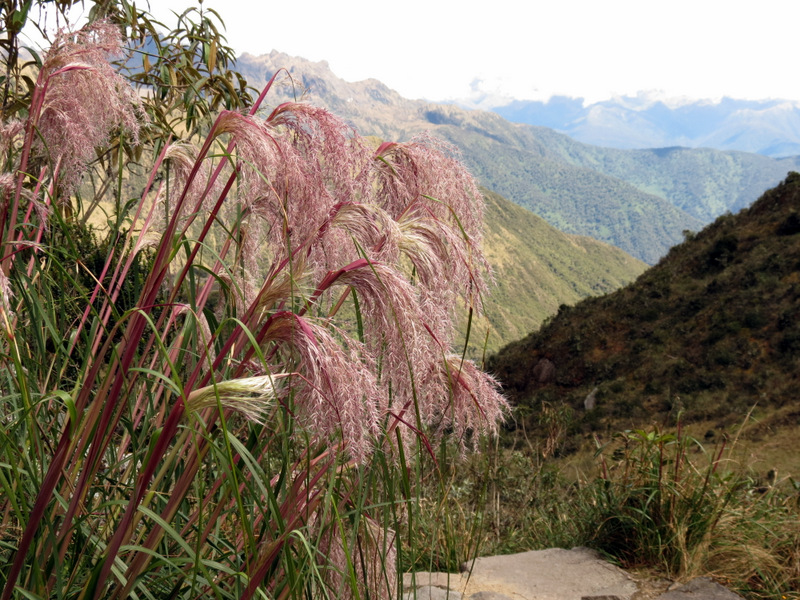
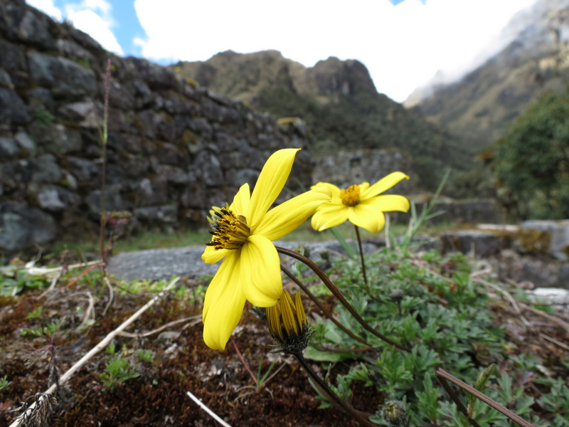
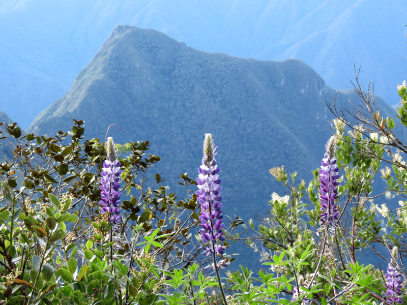
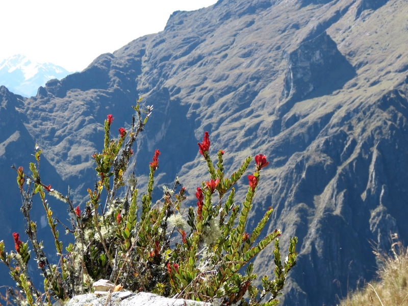 Gorgeous wildflowers |
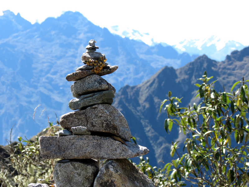 Cairn at Runkurakay Pass |
 Taking a rest |
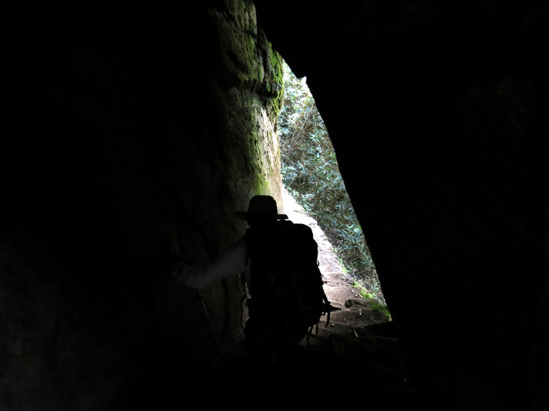
 Small tunnel |
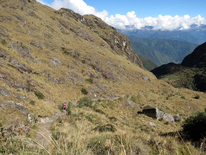 Now descending |
 |
 |
 Descending towards a swamp |
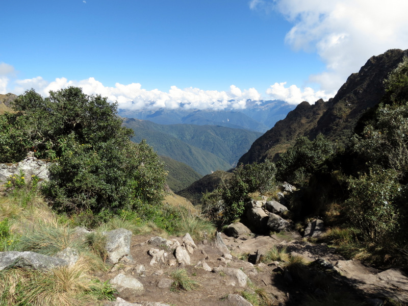
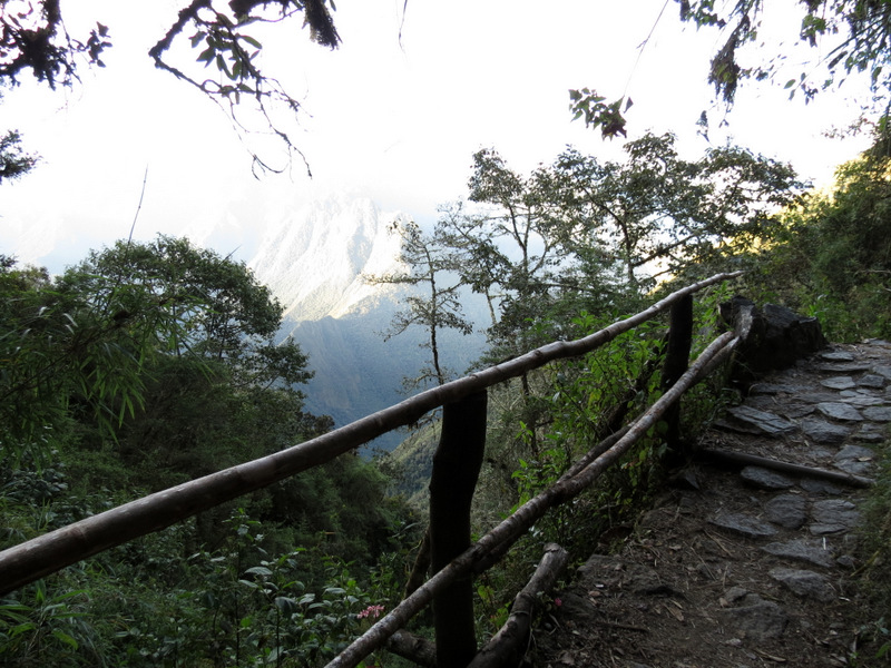
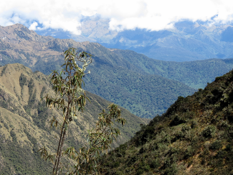 Amazing views ... |
 ... all along the way |
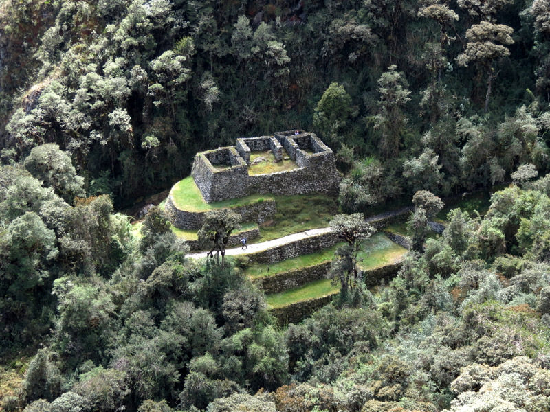
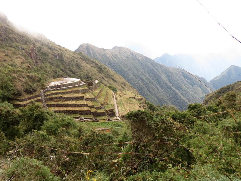
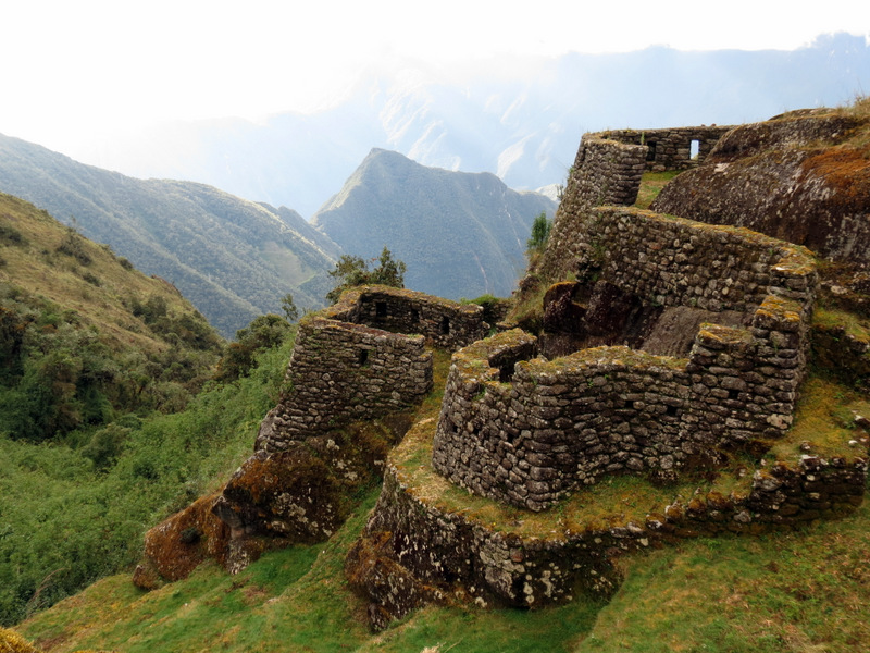
 Sayacmarca ruins at lower left |
 |
 On Inka stones |
 |
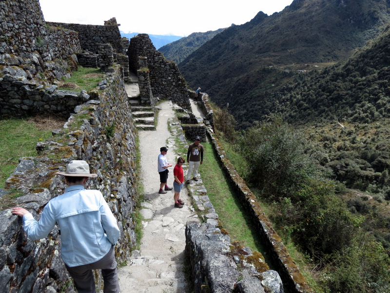
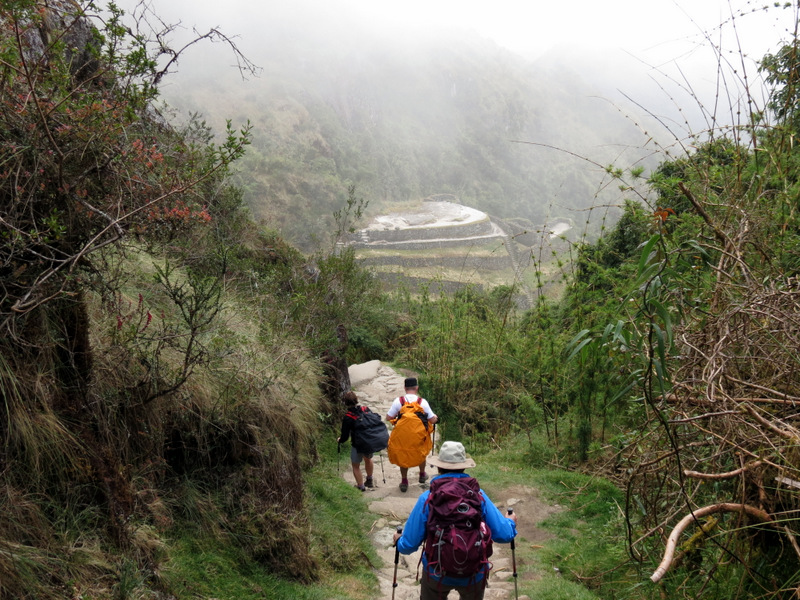
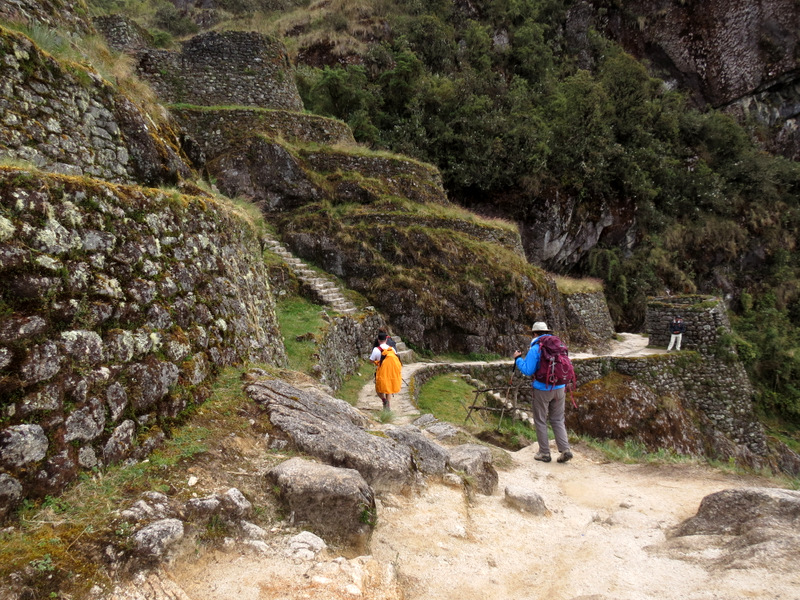
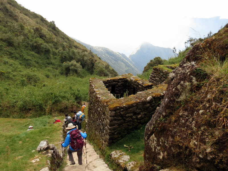
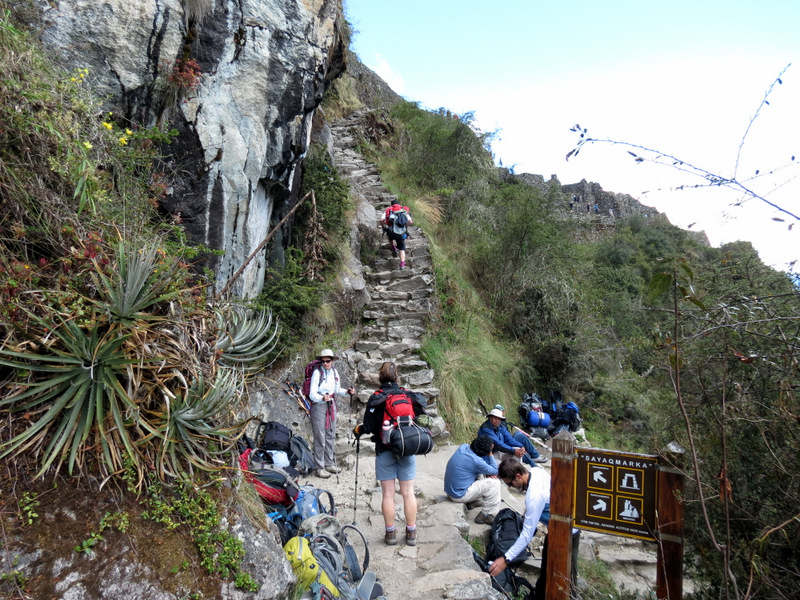 Next we climb to Sayacmarca |
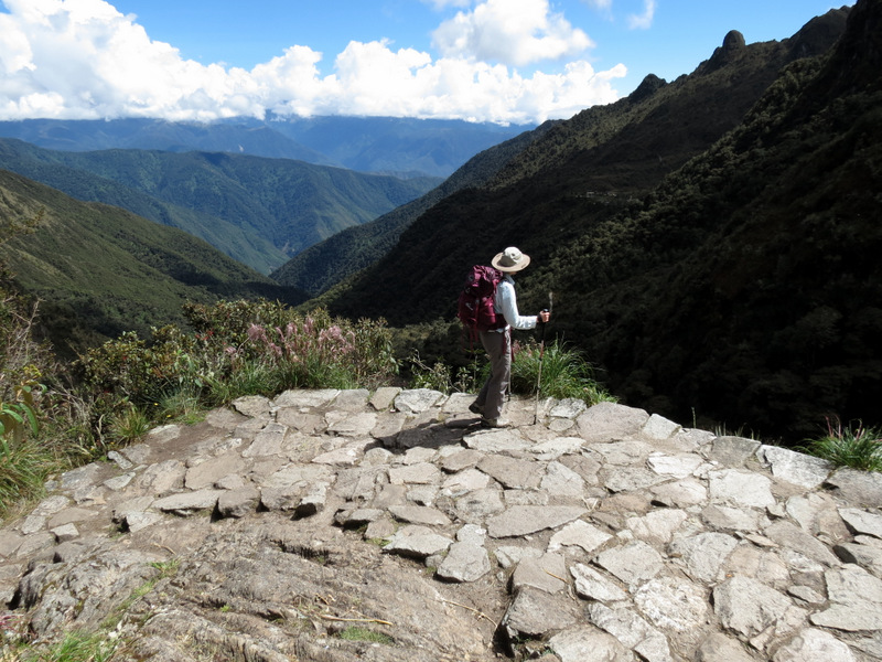
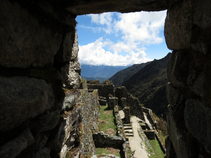
 View from Sayacmarca |
 View of Conchamarca below |
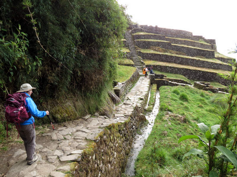
 Nice view of Inka trail |
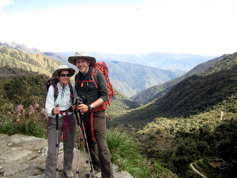
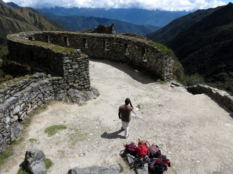 Franklin with our packs in Sayacmarca |
 Sayacmarca |
 Laura in Sayacmarca |
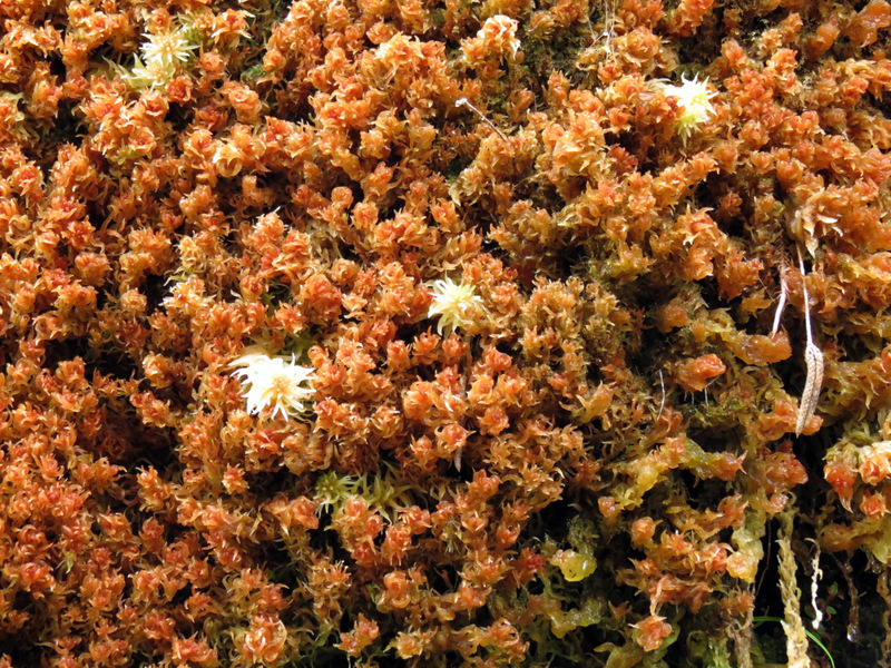
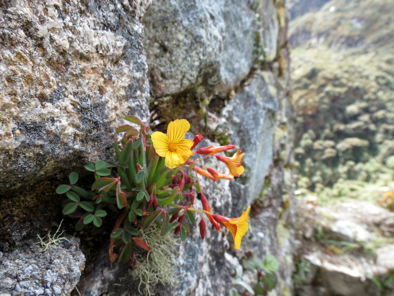 Rock flowers |
 |
 |
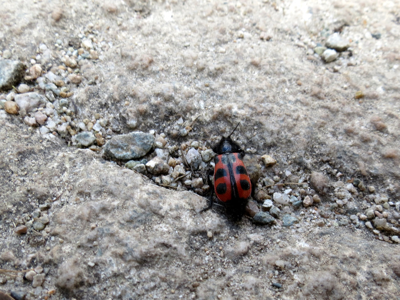 Lady bug |
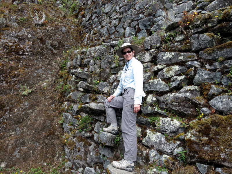
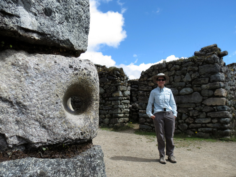 See the rock handle? |
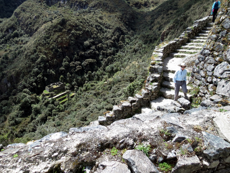
 Laura on Inka steps |
 Descending back down |
 Wild deer |
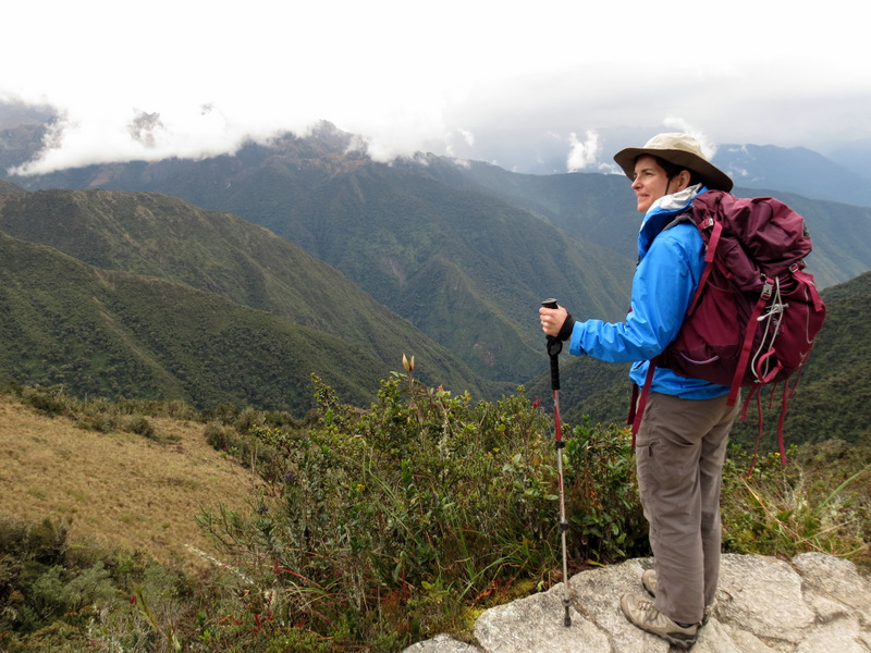
 View to the valley |
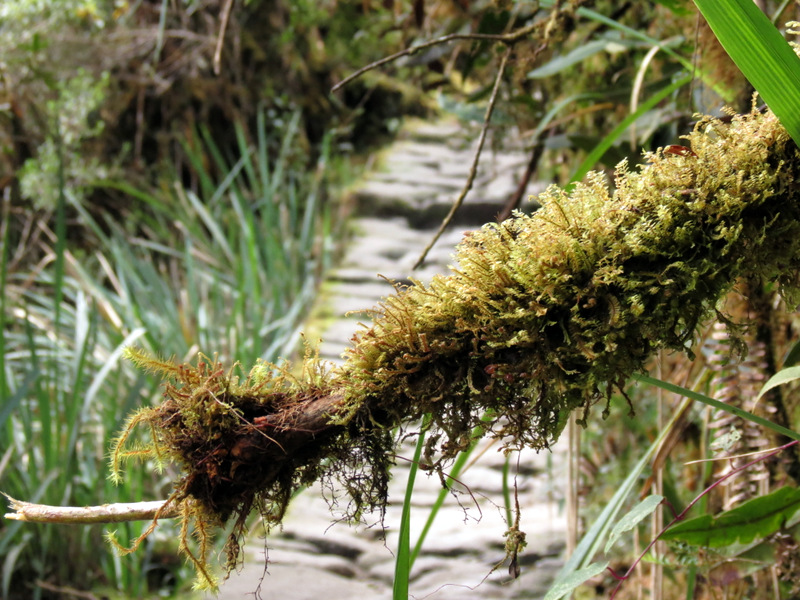
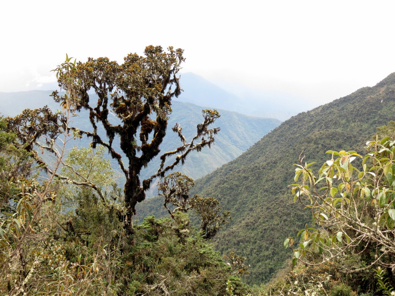
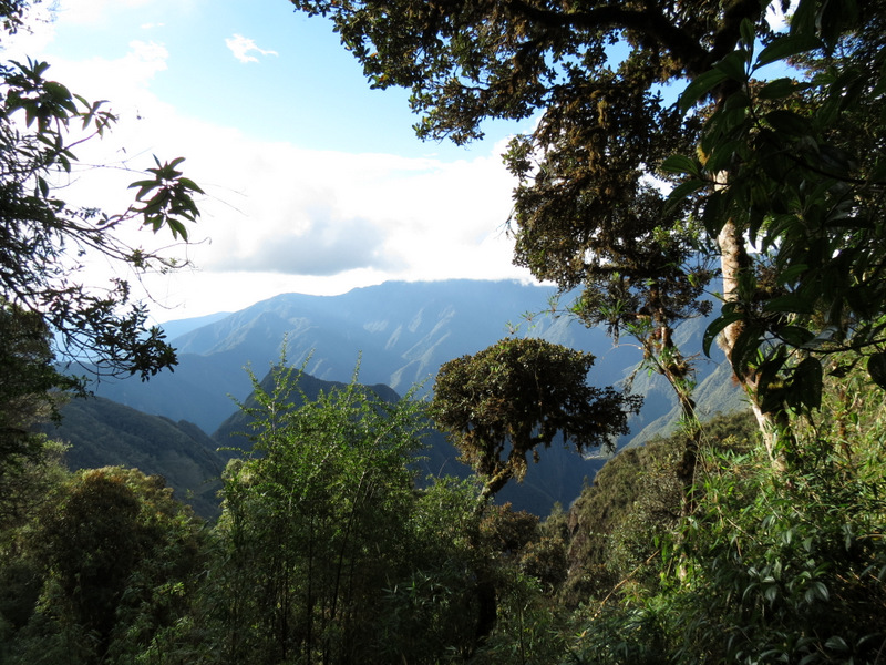
 Trail through the cloud forest |
 Llama traffic after lunch |
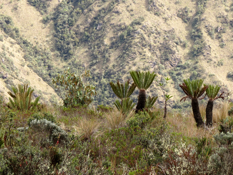 Awesome vegetation |
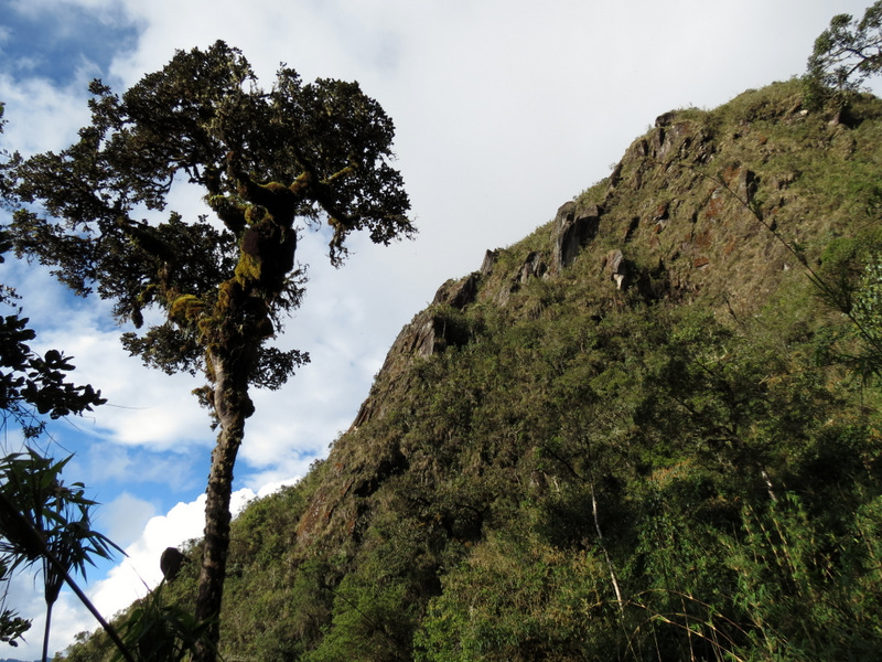
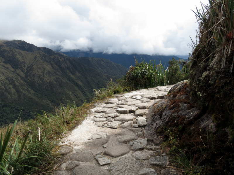 Steep drop from path here |
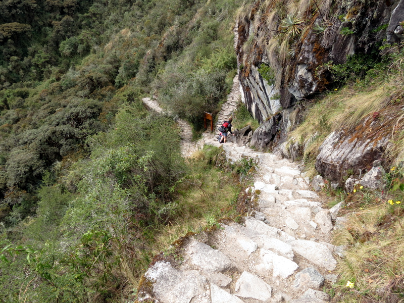
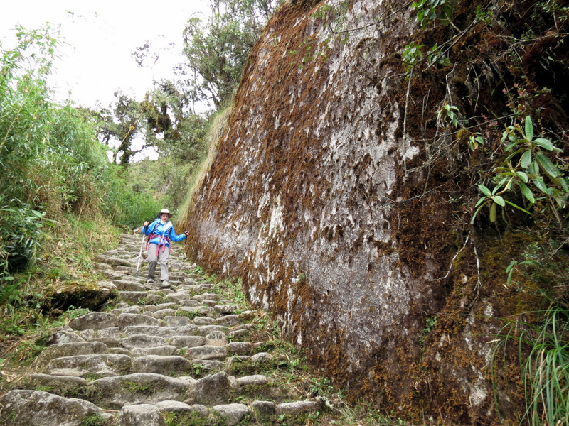
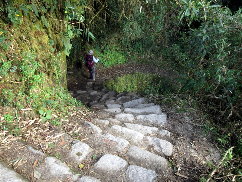
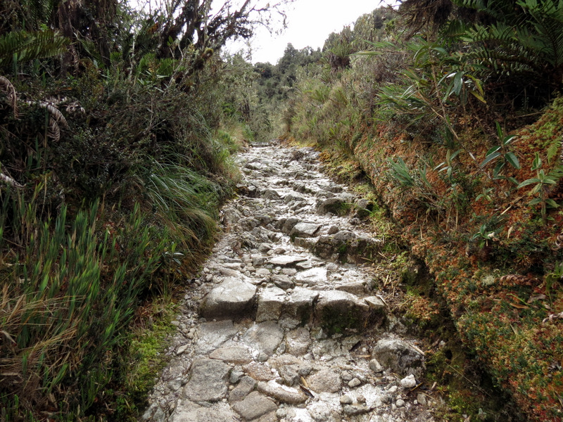 Inka steps |
 In the cloud forest |
 |
 Laura gradually descending |
 |
 Taking it slowly here |
 Huge rock formation |
 Another tunnel |
 |
 Cloud forest colors |
 It started to rain |
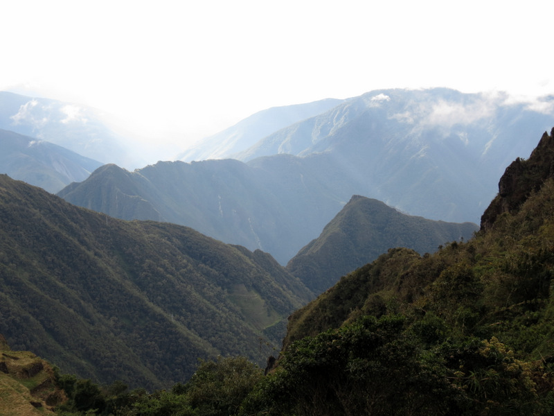
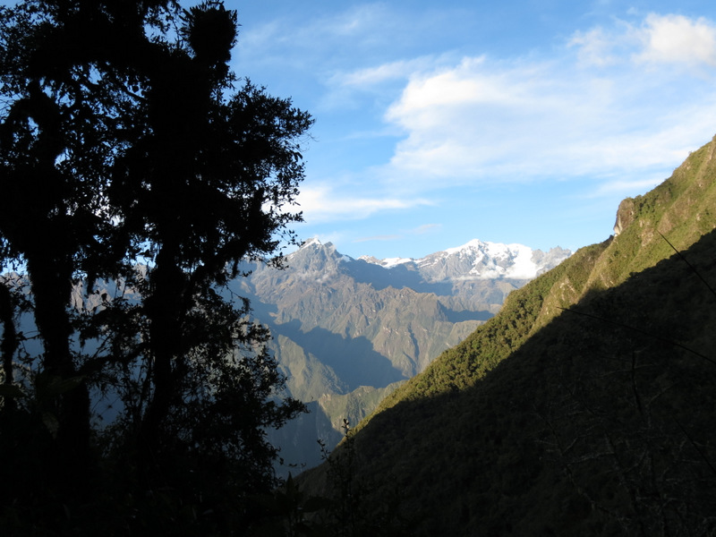
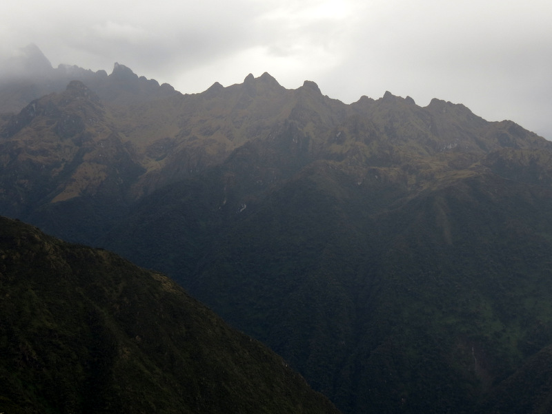 Stormy Andes peaks |
 An ethereal ... |
 ... Phuyupata Pass |
 Descending to Phuyupatamarca |
 Phuyupatamarca |
 |
 Steep descent here |
 Approaching Phuyupatamarca |
 |
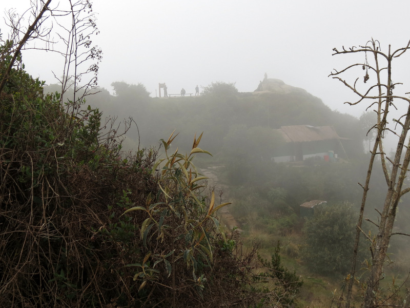
 Wandering ... |
 ... around ... |
 ... Phuyupatamarca |
 Worn Inka steps |
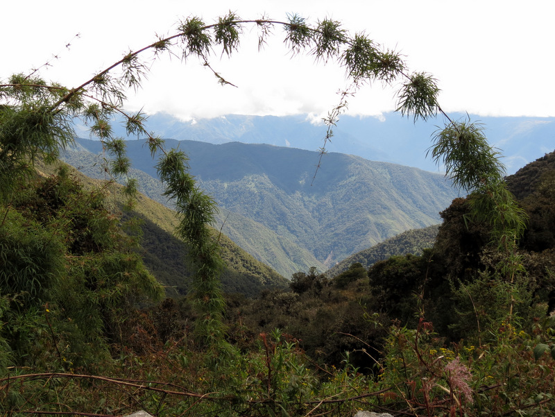
 Views ... |
 ... from ... |
 ... the ... |
 ... cloud forest |
 Zoom to Aguas Calientes |
 Machu Picchu is near |
 Steep descent |
 |
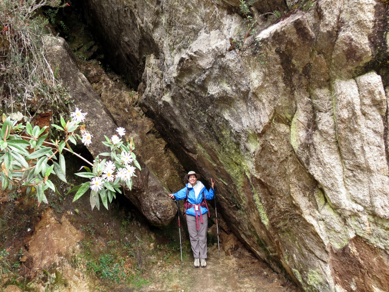
 Tight squeeze |
 Extremely rare handrails |
 |
 It looks like the US west |

|
|
Photographs and content copyright © Dan Balogh Web design by Dan Balogh |