 |
|
Today we went looking for viewpoints in Southern Harriman. And it wasn't easy! The original plan was to hit three viewpoints noted on Harriman Park-Southern Trail
Map 118 (2008 edition): one on an unmaintained trail on Limekiln Mountain and two other viewpoints on an unmaintained trail labeled the Iron Mountain trail on the
map.
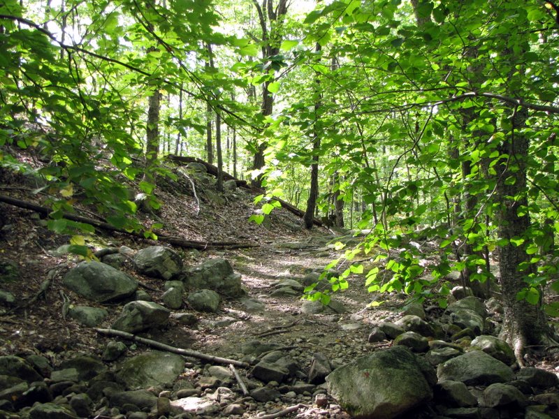
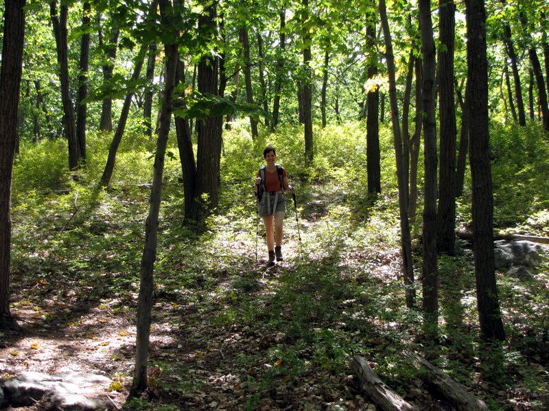
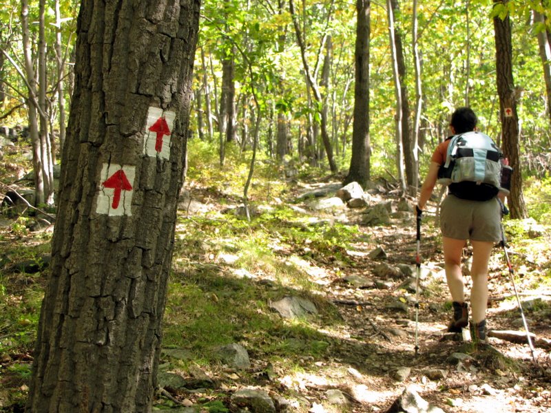
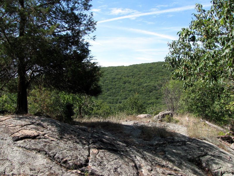
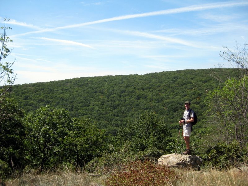
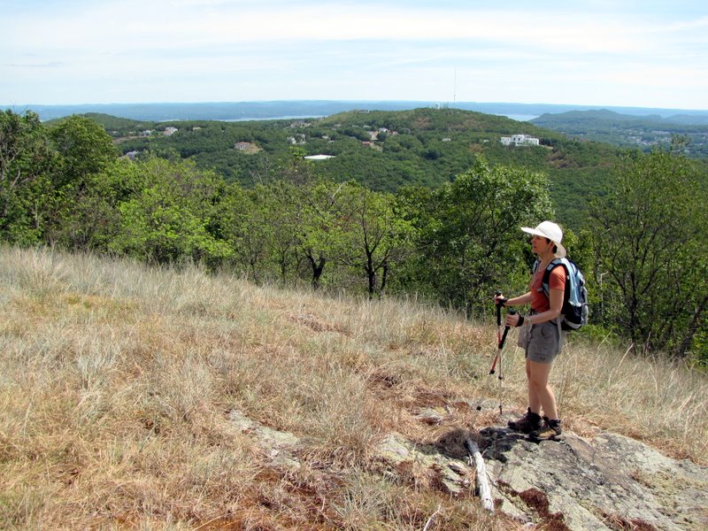
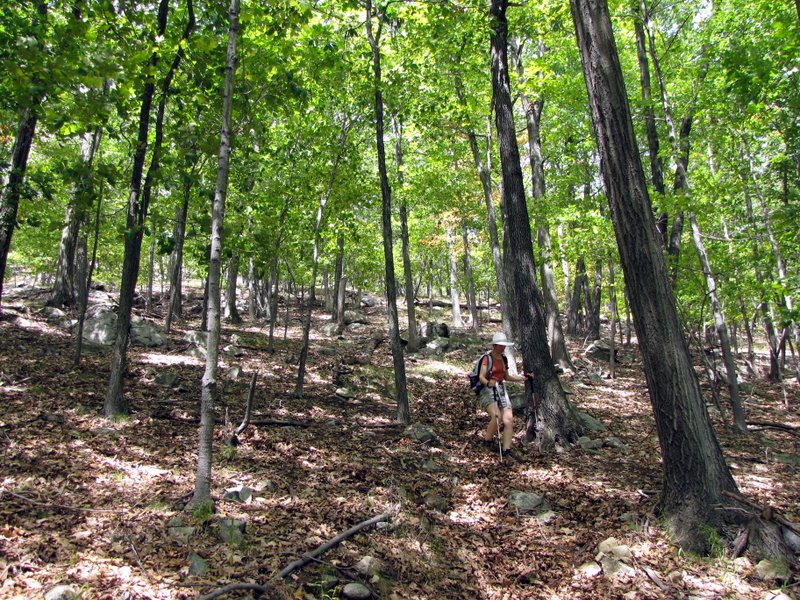
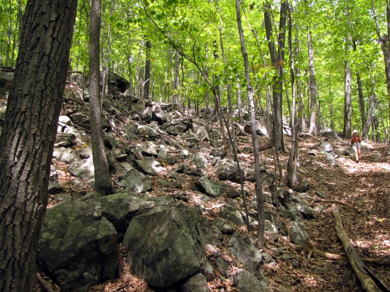
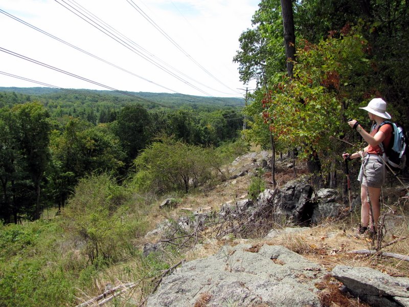
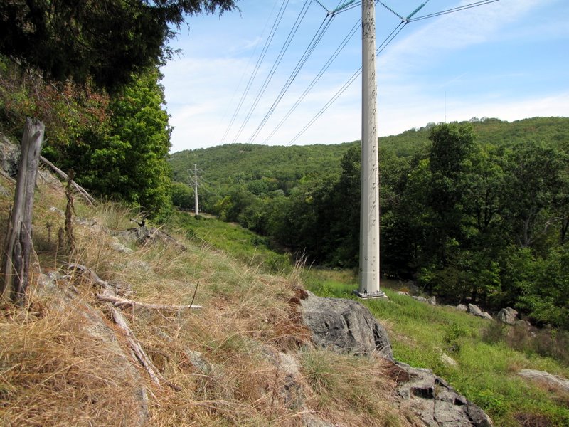
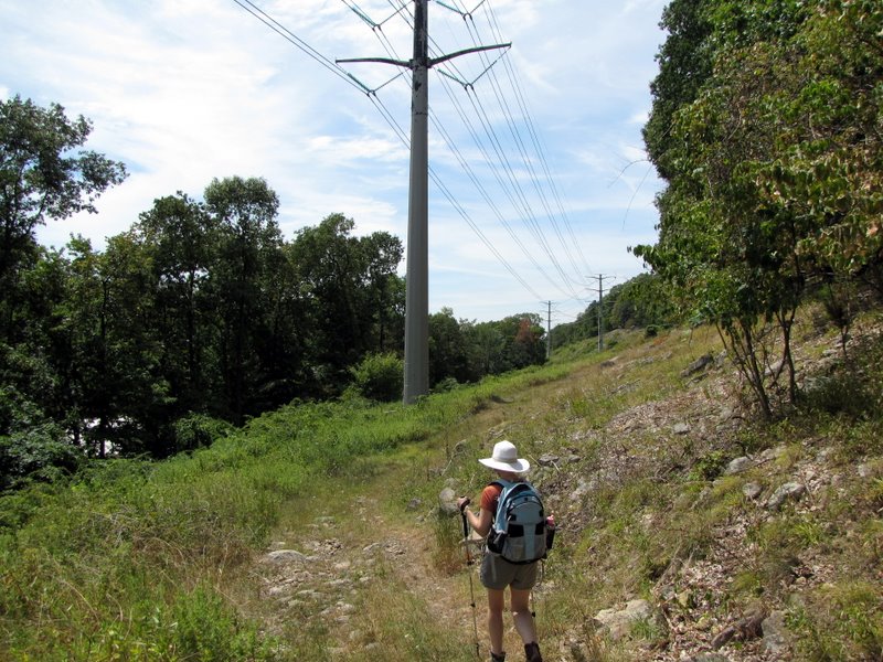
We started at the parking area on Diltz Road, and headed NE on the Tuxedo-Mt Ivy (T-MI) trail along the powerline cut. Upon entering the woods, however, we simply couldn't find the unmaintained trail to the Limekiln viewpoint. So we continued on the T-MI heading north. Within a quarter of a mile we noticed a worn path going west. It was unblazed and not on the map, but distinct enough to follow with many cairns leading the way. Curious, we took this path which seemed to climb to the peak of Eagle Rock, after curving north and reaching a partial viewpoint where the Hudson was visible in the distance. Continuing north along this trail we eventually came to a t-intersection with the T-MI trail on which we made a right. When we reached the Red Arrow trail we took it north, climbing again. It ended at the Suffern-Bear Mountain trail, onto which we made a right and took it to its intersection with the woods road labeled "Woodtown Road" on the map. From this point on we were at the mercy of unmarked paths. Our goal was to reach the two vistas on the Iron Mountain trail via the File Factory Hollow woods road, and by golly we found them, and they were spectacular. But not without difficulty! At one point we were on an unmaintained trail looking for a right turn onto another unmaintained trail. After the two viewpoints we were tired of trying to follow the path, so we simply bushwhacked down to the powerine cut which we took back to the car. The entire adventure was a lot of fun, though not something I would recommend to those who rely on well-blazed trails. Total distance hiked today was 6.5 miles, which included lots of climbing and bushwhacking, in about 4 hours. (Click on the thumbnail to bring up a bigger image in a pop-up window)
|
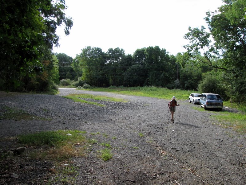 Large parking area on Diltz |
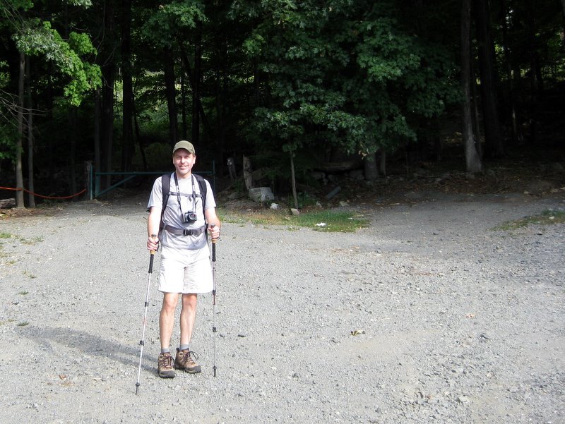 Rearing to go! [photo by Laura] |
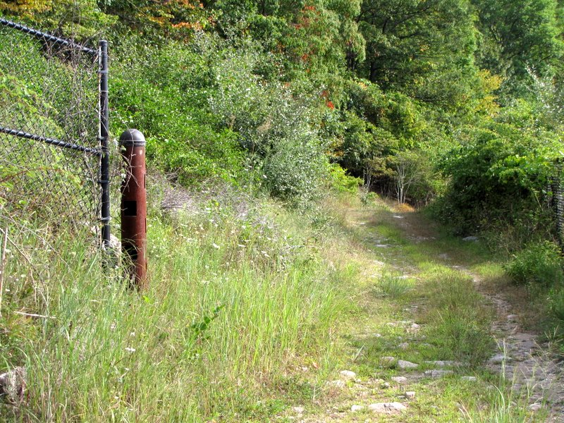
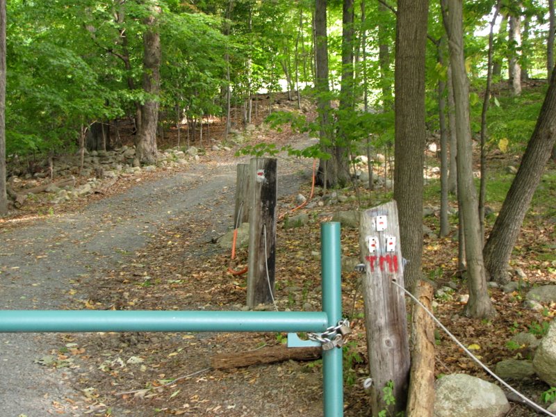 T-MI trailhead |
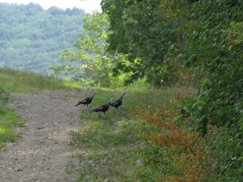 Flock of wild turkeys |
 Powerline cut |
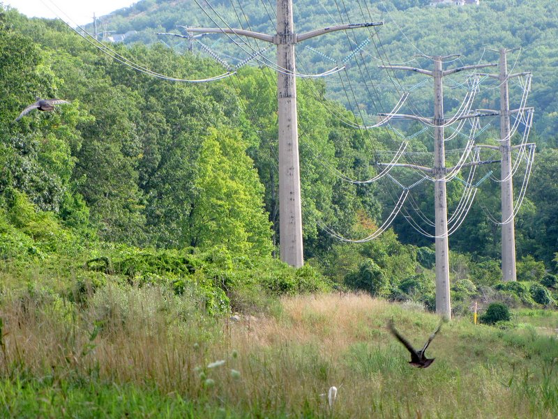 Two turkeys in flight |
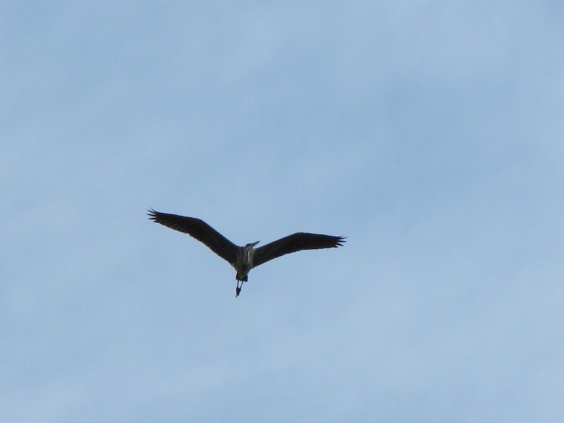 Egret soaring overhead |
 |
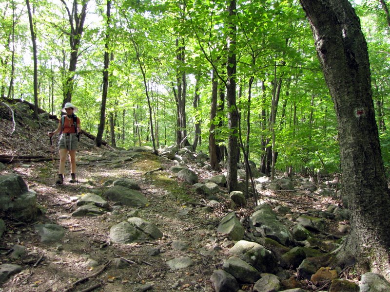
 Climbing the T-MI |
 |
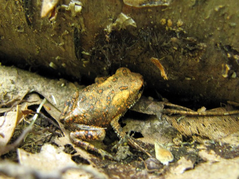 Tiny toad |
 |
 More climbing! |
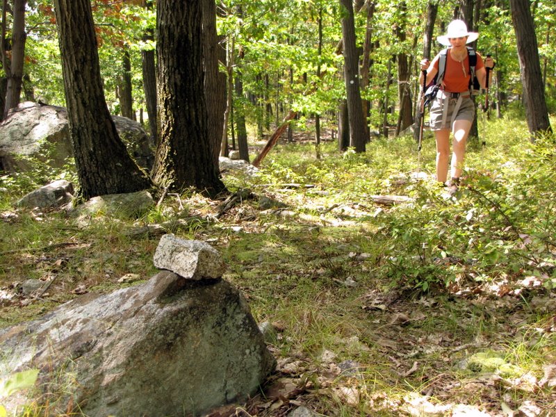
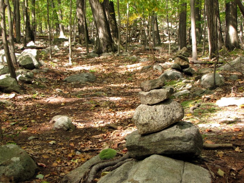 Cairns mark path to Eagle Rock |
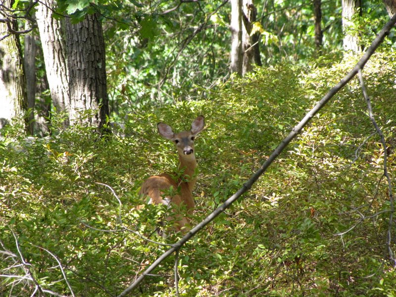
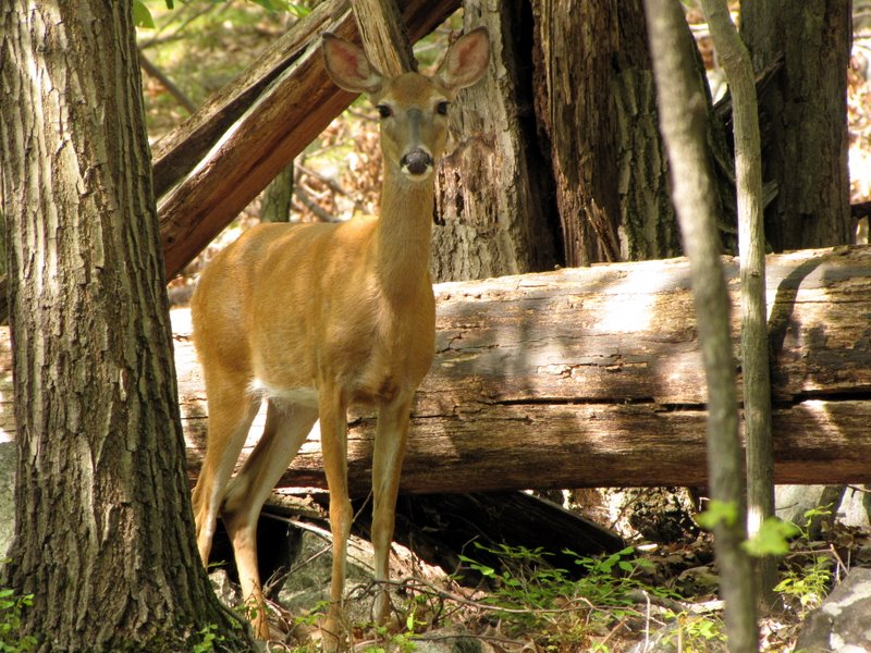 Curious deer |
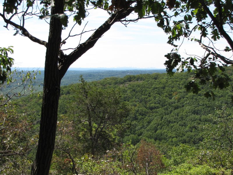
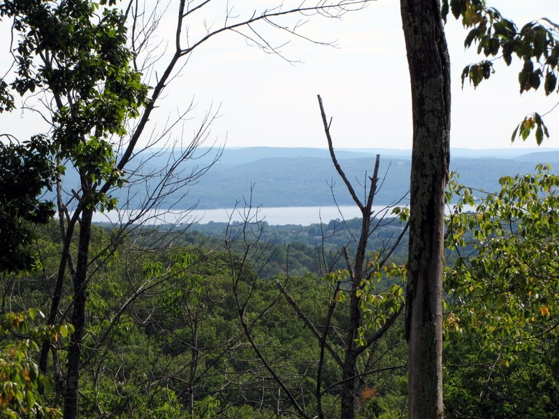 Hudson River from Eagle Rock |
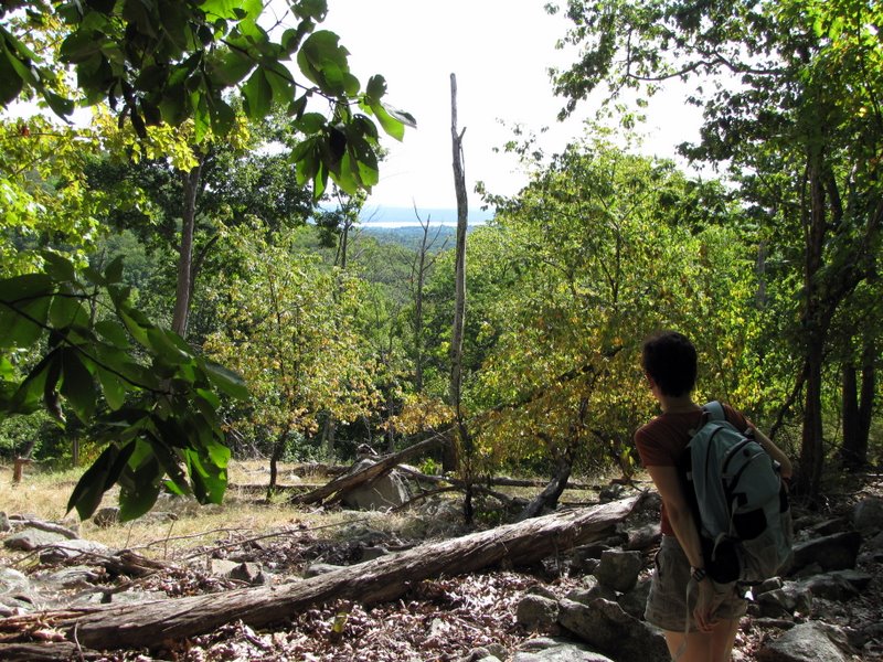 Partial viewpoint on Eagle Rock |
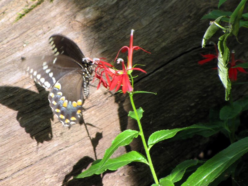 Busy butterfly |
 More climbing |
 Still on unmarked path |
 Another deer |
 |
 Is that levitating? |
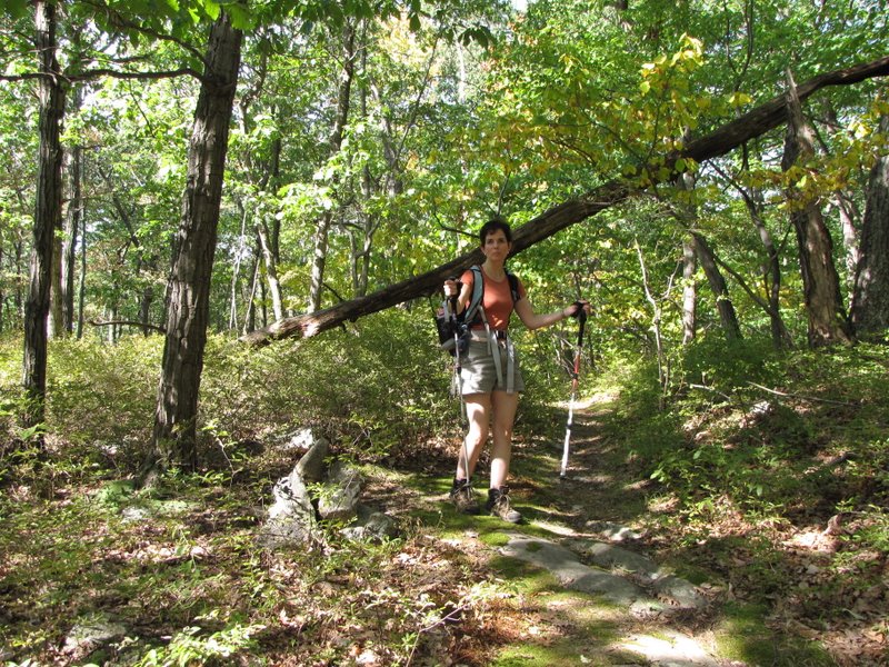
 Climbing the Red Arrow trail |
 Mountain Laurel thicket |
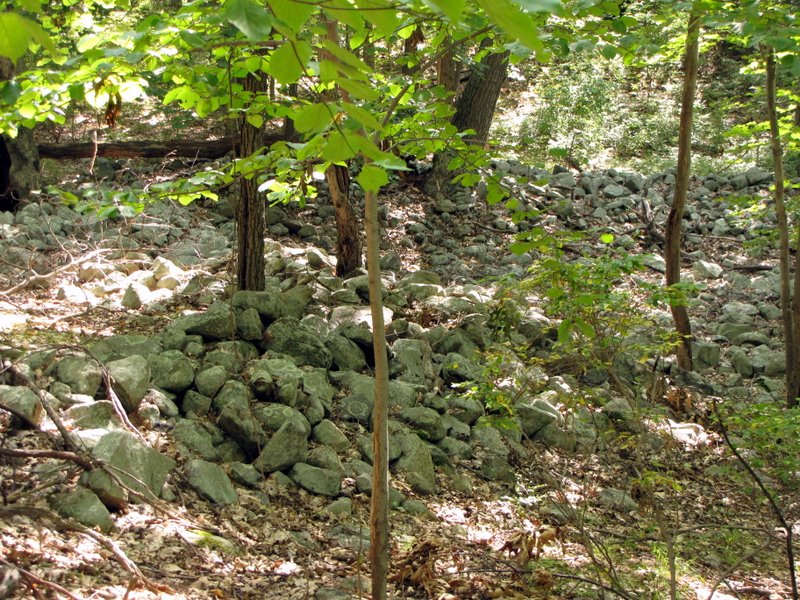 Stone boundary walls |
 Tree hugger [photo by Laura] |
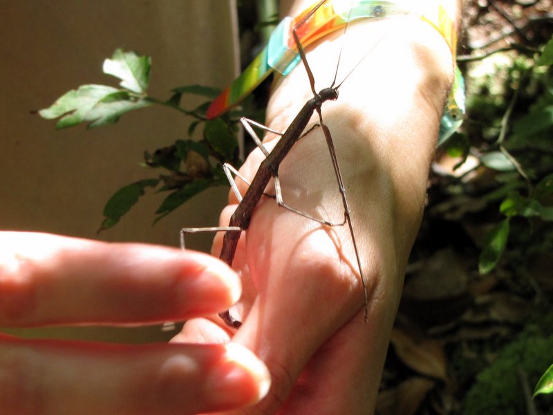 A walking stick! |
 Close-up of walking stick |
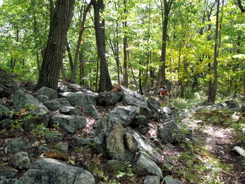
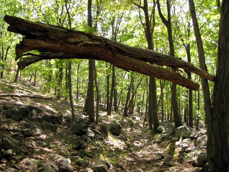
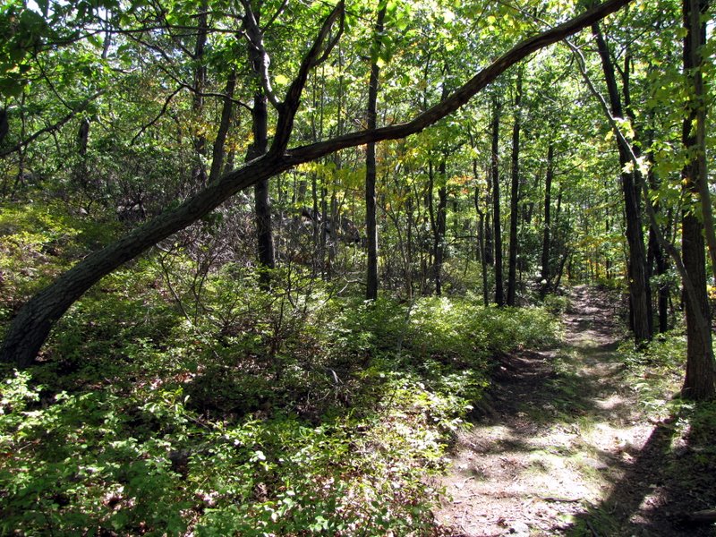
 A rocky trail |
 On Woodstown woods road |
 Chipmunk |
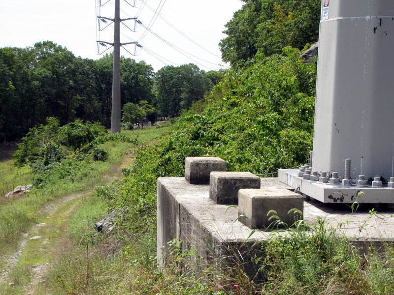
 Factory File Hollow woods road |
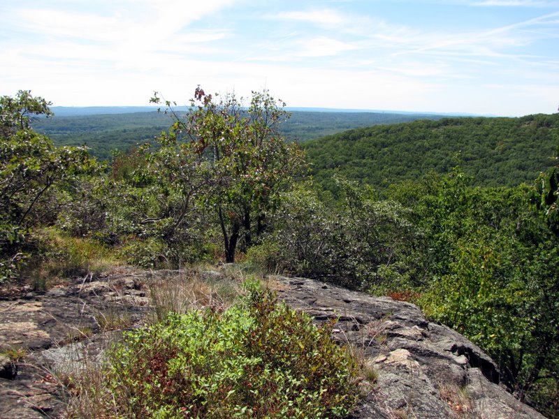
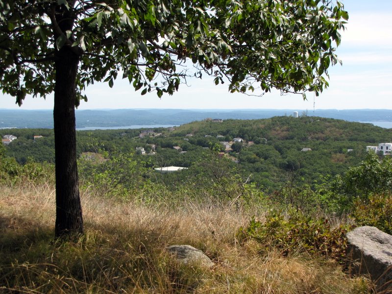
 Viewpoint on Limekiln |
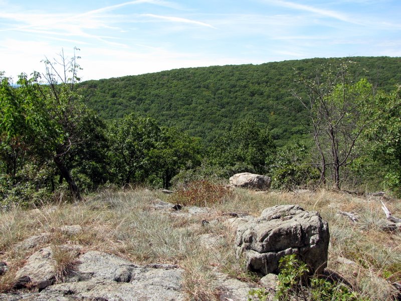 View to Eagle Rock |
 |
 [Photo by Laura] |
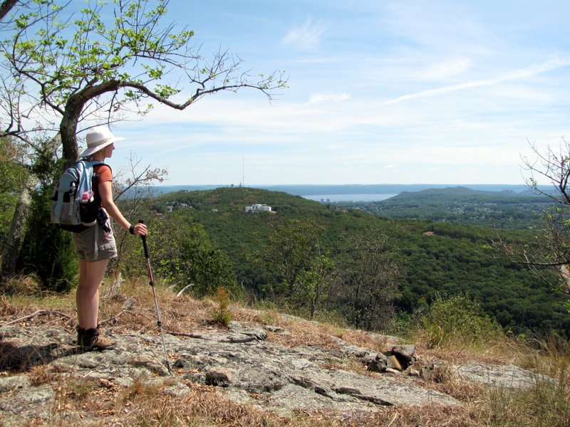
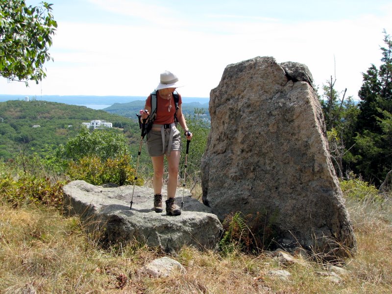
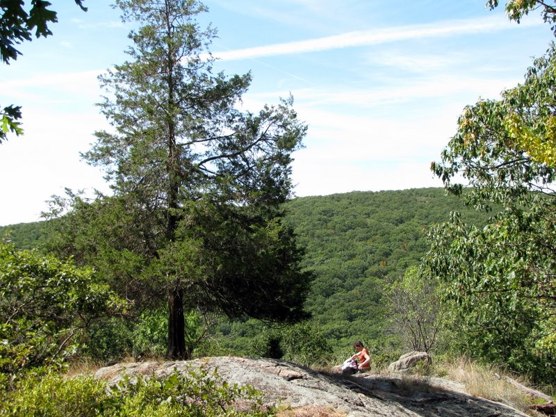 Laura resting |
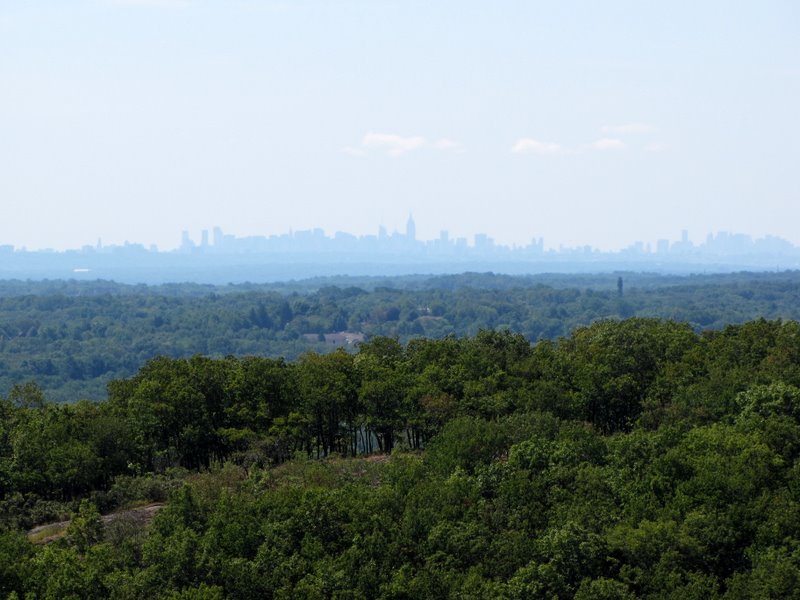 Manhattan skyline from Limekiln |
 View towards Eagle Rock |
 View SE |
 |
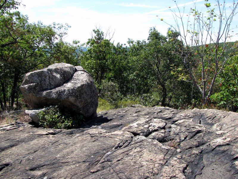 Glacial erratic |
 |
 Powerline cut far below |
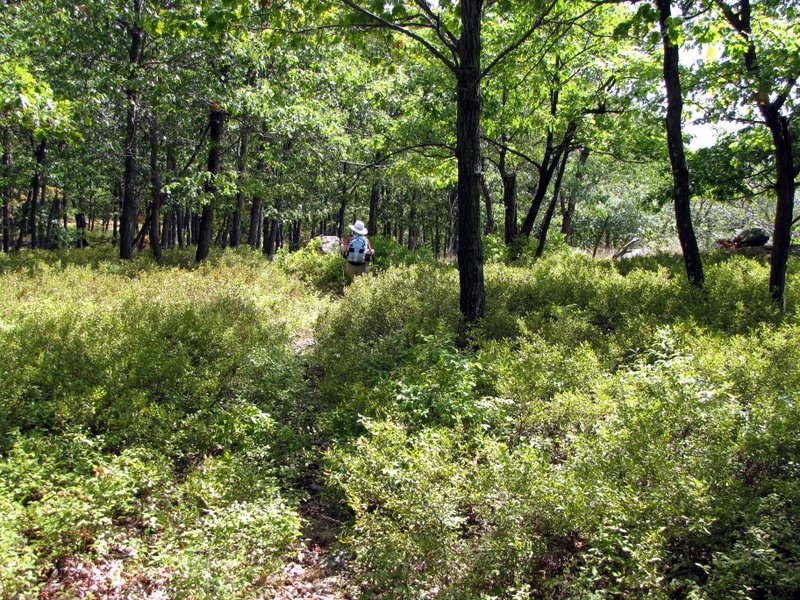 Blueberry fields |
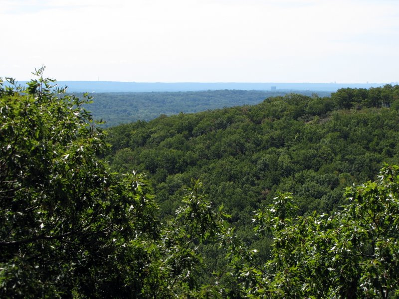
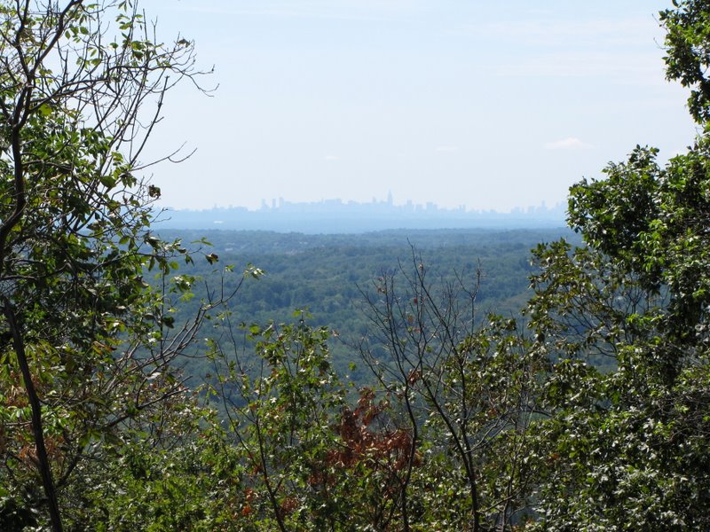 Another view of Manhattan |
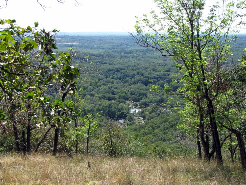
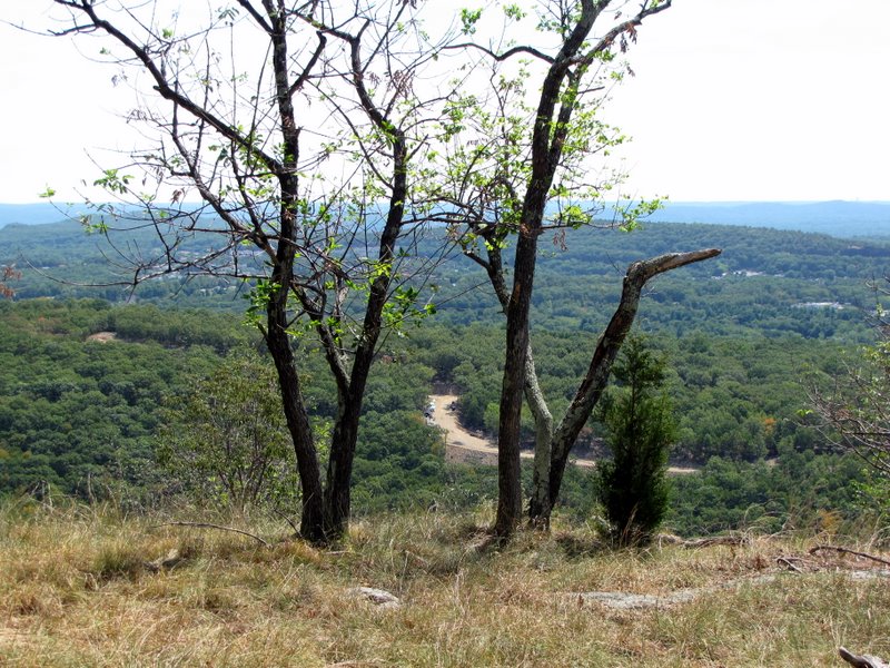 View from Iron Mountain trail |
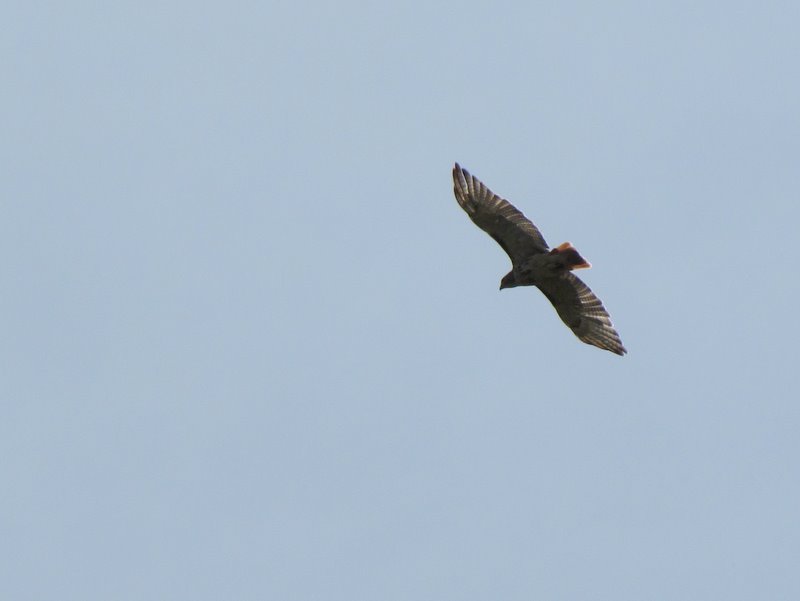 Red-tailed hawk |
 View of Hudson and Cheesecote Mountain |
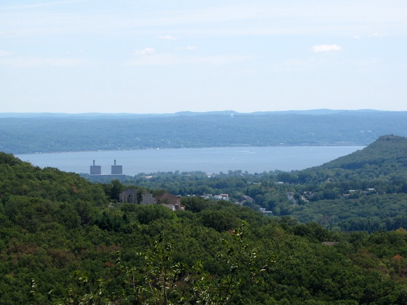 Hudson River with High Tor to right |
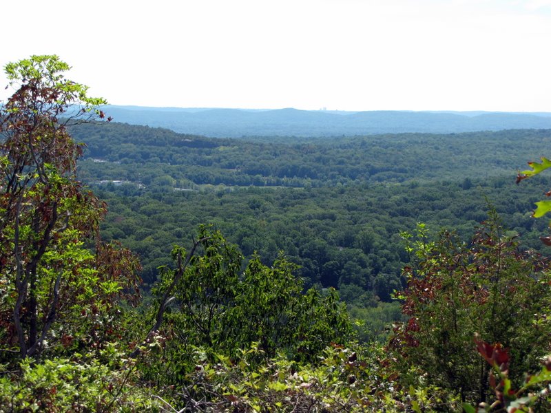
 View east |
 Close-up of construction below |
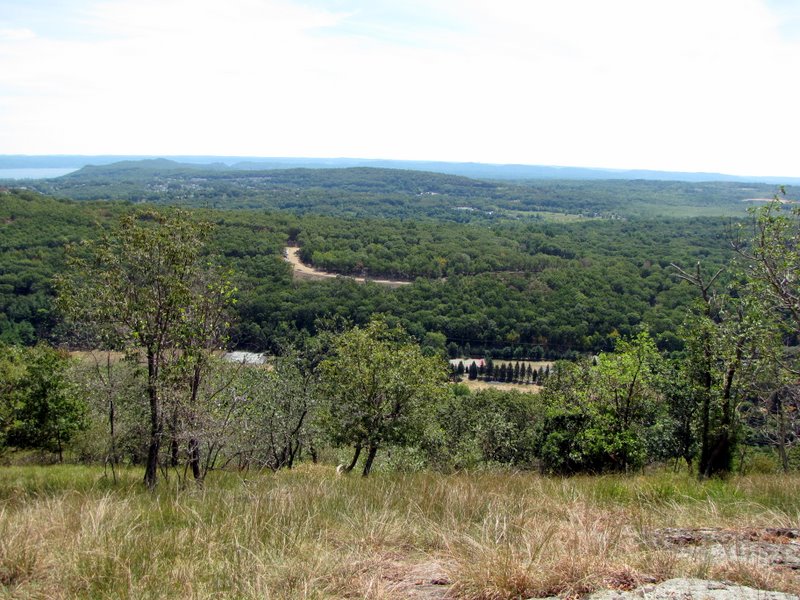 Wider view east |
 |
 |
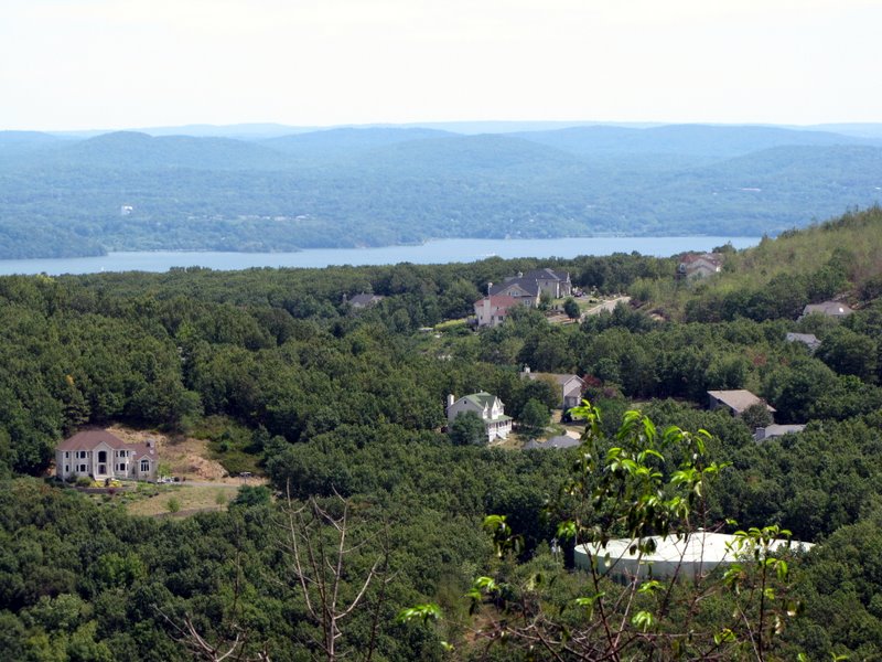
 Mansions overlooking the Hudson |
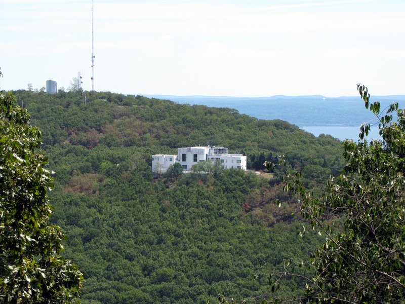 Antenna on Cheesecote Mountain |
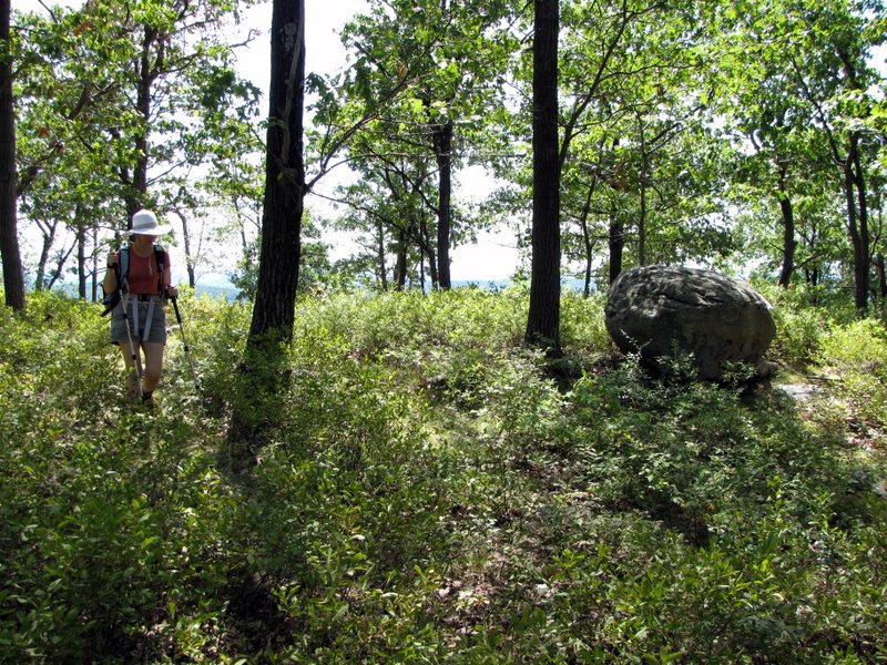
 Cairns on the Iron Mountain trail |
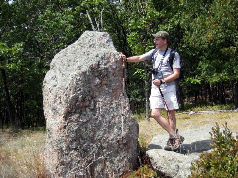
 Interesting stone on Iron Mt |
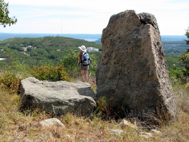
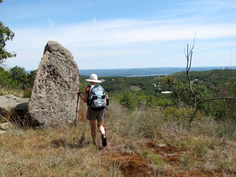 Stone marks the northern viewpoint |
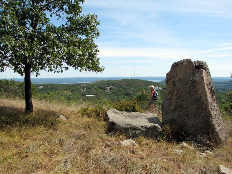
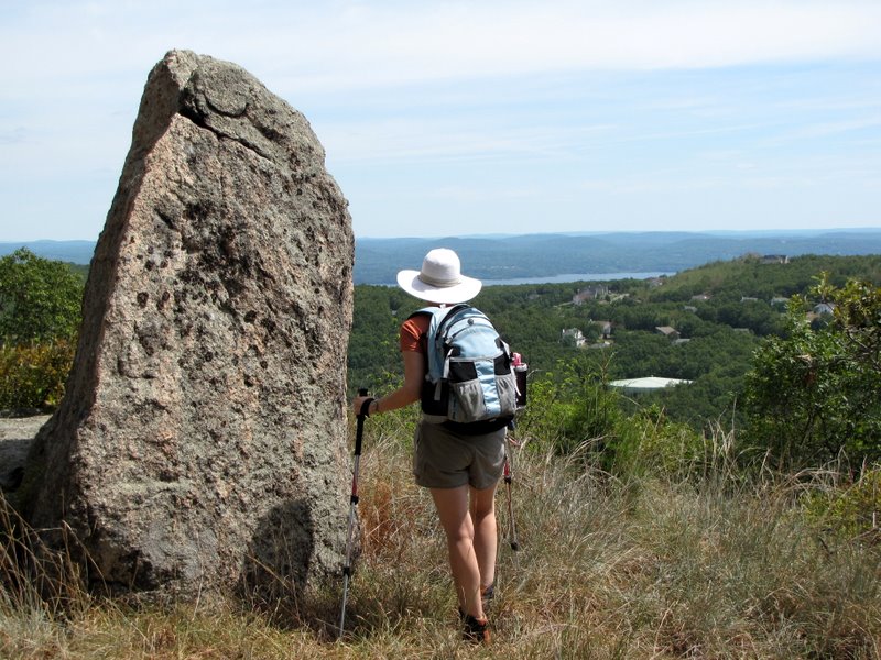 Another spectacular vista |
 |
 Love that glacial errata |
 Cheesecote Mountain and the Hudson |
 The Hudson |
 [Photo by Laura] |
 |
 |
 |
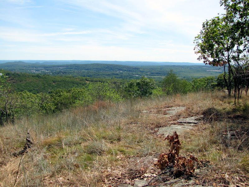 View SE |
 Grassy lookout |
 Bushwhacking downhill |
 And down! |
 At the cut |
 View to Cheesecote Mountain |
 Powerline cut looking south |
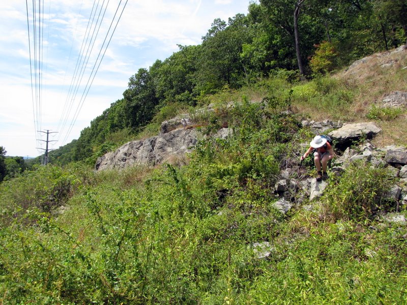 Scrambling to the path |
 On the path |
 Right past a pylon |
 Curious fawn |
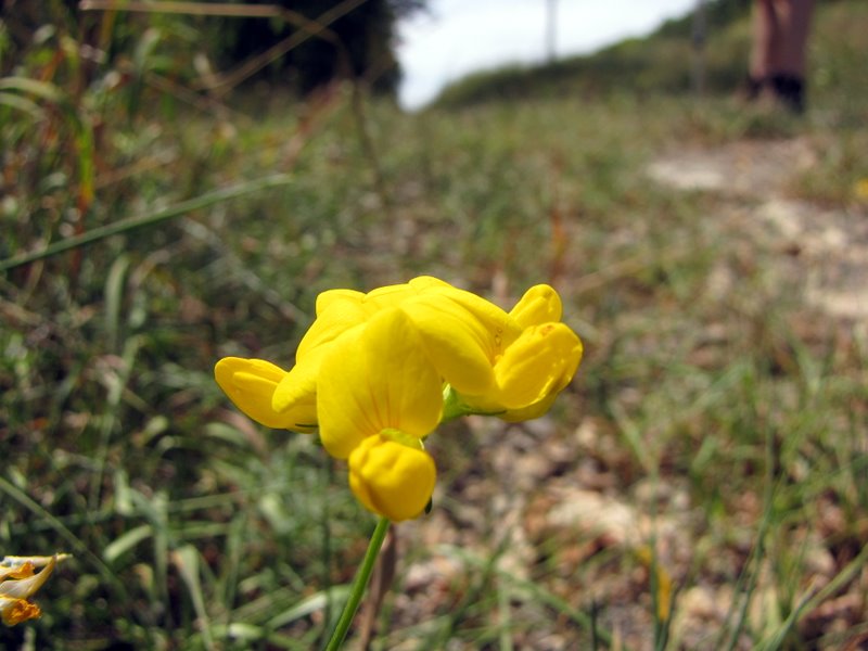 Wildflower in the cut |
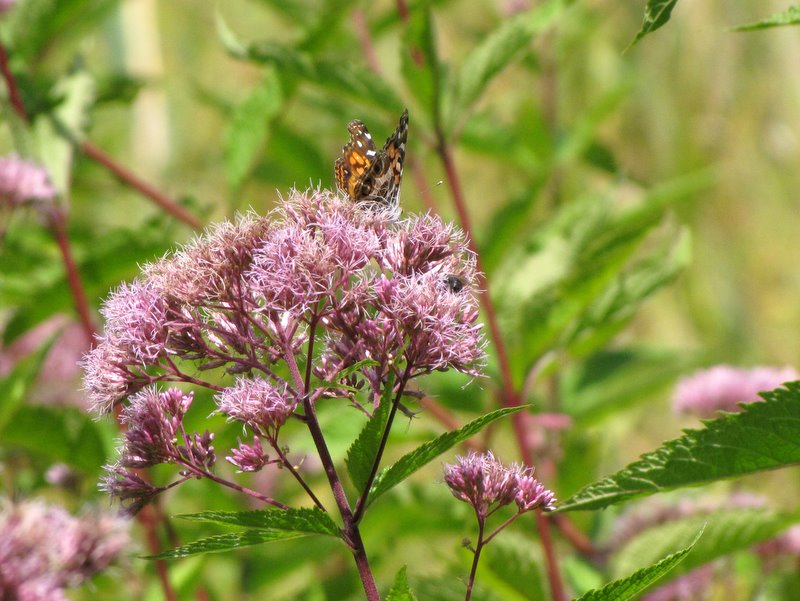 Butterfly |
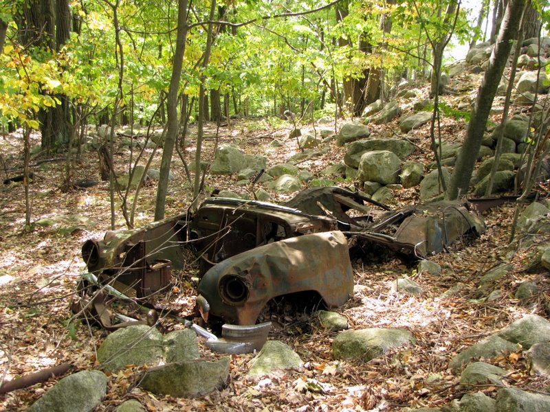 Abandoned car |

|
|
Photographs and content copyright © Dan Balogh Web design by Dan Balogh |