 |
|
The previous night I designed a circuit hike beginning at the White Bar crossing on Route 106 which traversed a bunch of trail segments and woods roads that we
hadn't previously hiked. But when we made the right on Route 17A and crossed over the NY Thruway, we were greeted with a ROAD CLOSED sign. This was a bit confusing
since the road was closed just recently for quite a long time, but a web search last night indicated that it had re-opened. Well, it's closed again, and a subsequent
deeper web search indicated that the Harriman folks suggest a Plan B for anyone wanting to use any Route 106 trail head. Even they themselves don't know when this road will
be closed or open. So we headed for the Elk Pen further north, with fingers crossed that that road would be open to allow access to the parking area. Amazingly,
Arden Valley Road was also closed, but east of the Elk Pen, so we were at least able to park there! This road always closes as winter nears, but it's still August! Again,
no indication as to why. Suffice it to say, if you're going to hike in Harriman, and you're not starting on Seven Lakes Drive, you'd better call the park service to see if
your road is scheduled to be open.
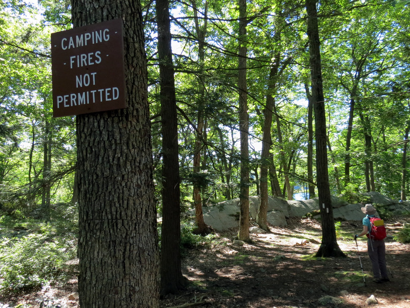
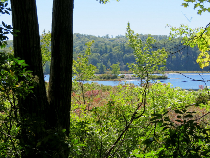
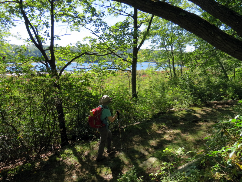
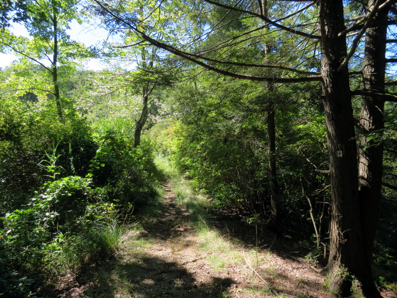
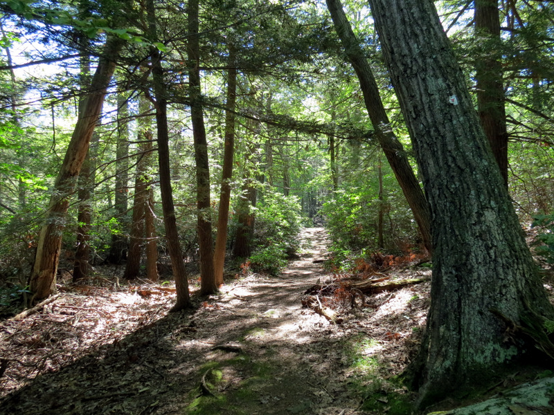
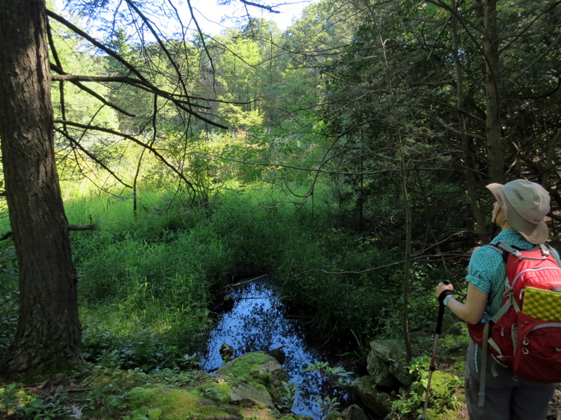
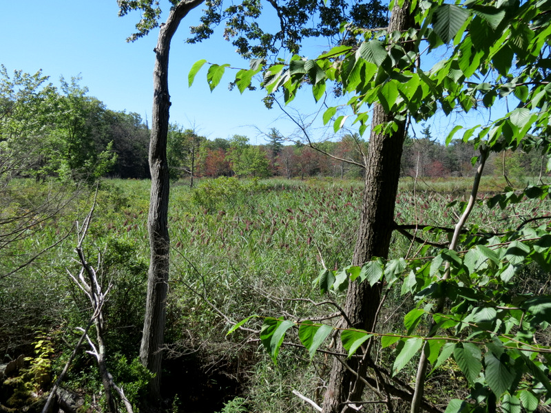
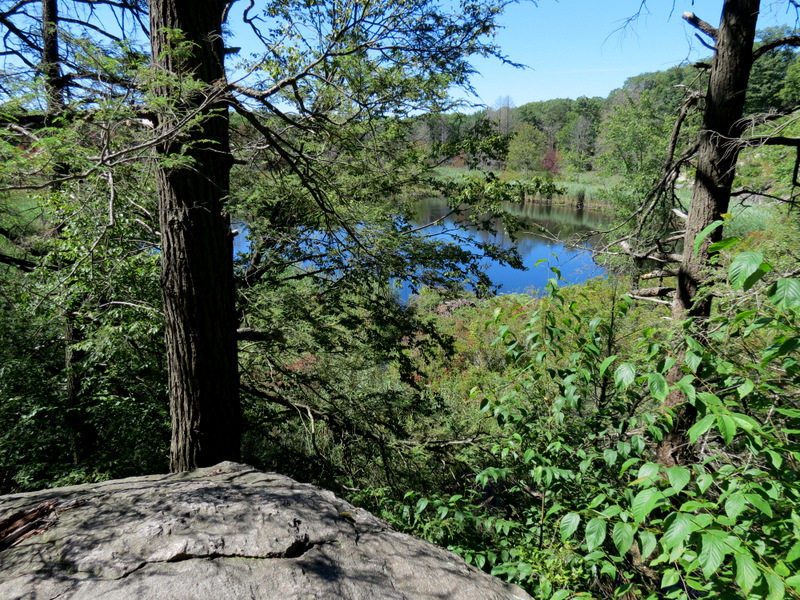
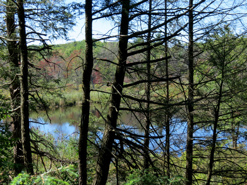
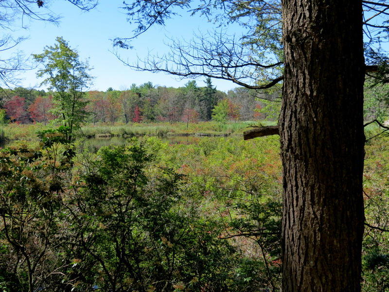
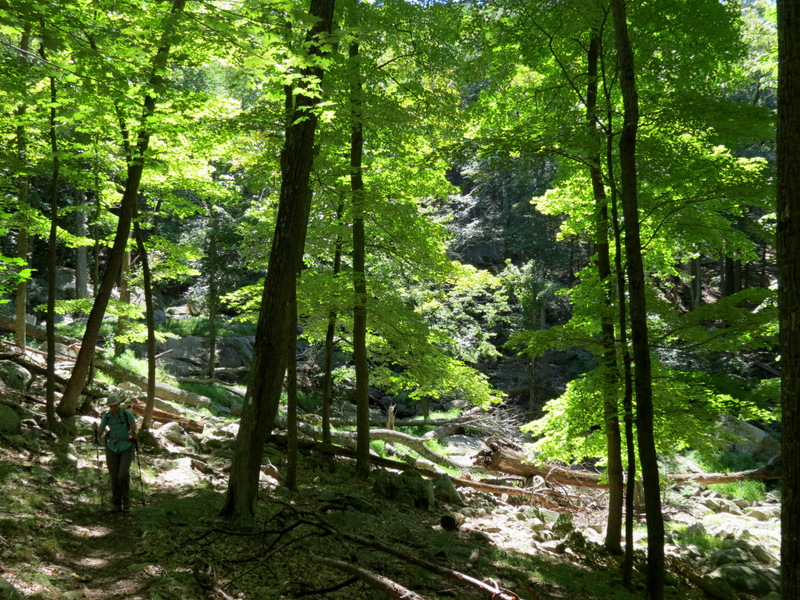
Today we did a loop involving Island Pond, a place we hadn't visited in seven years. We parked at the Elk Pen and took the AT west, climbing Green Pond Mountain all the way to the lovely Island Pond where we visited the boat launch before heading south along the western bank on what is called Island Pond Road on the NYNJTC Map #119. We continued south on the Arden-Surebridge for just a small stretch before continuing south on a woods road that skirts Boston Mine. Next we took the Dunning trail all the way to its western end, partly encircling the almost perfectly round Green Pond. We took the White Bar west to the newly-blazed leg of the Stahahe Brook trail which now parallels Stahahe Brook to the east; this trail used to parallel the brook on the western bank, until Hurricane Sandy knocked out the concrete bridge just north of the woods road named Arden Road. We turned right, continuing north before ending on the Arden-Surebridge which we took north back to the Elk Pen. Total distance hiked today was about 5.5 miles (with a bit of climbing), in nearly 4 hours.
|
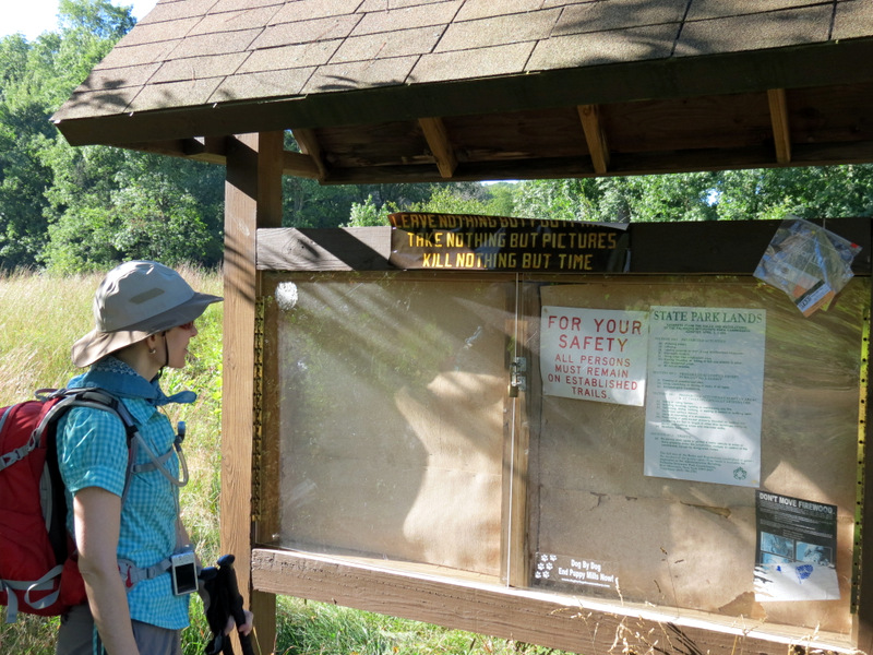 Kiosk in Elk Pen |
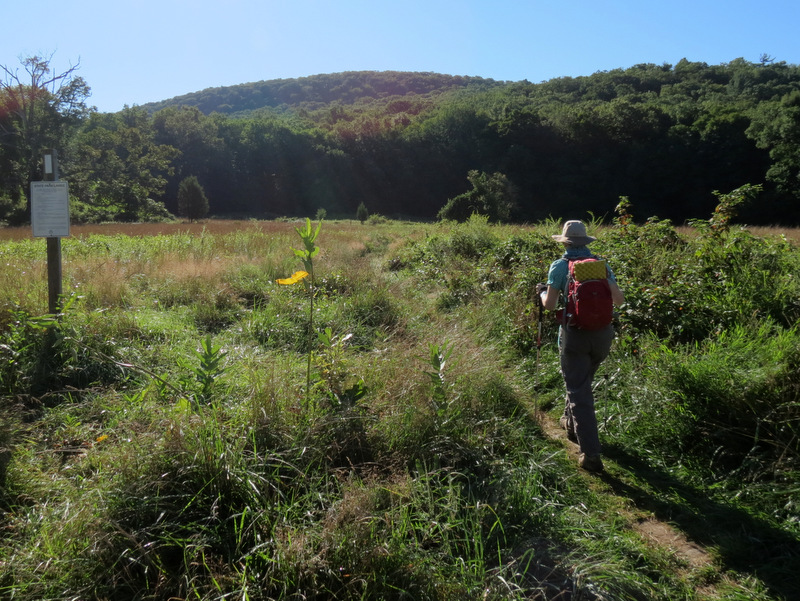 Heading to Green Pond Mountain |
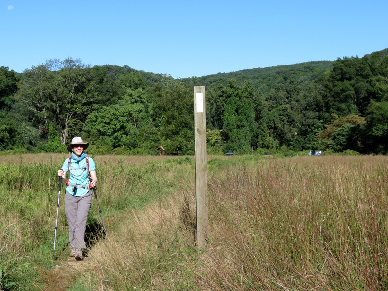 AT blaze in the meadow |
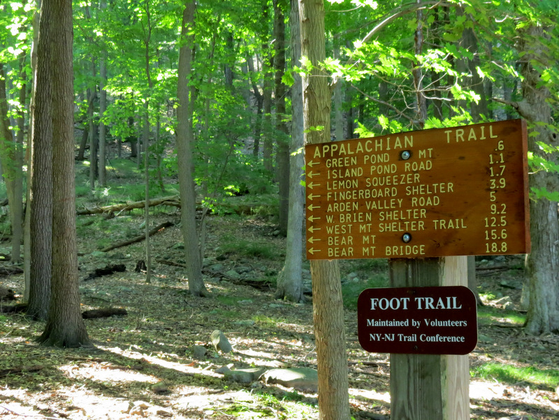 AT Harriman mileages |
 Arden-Surebridge, our return |
 Climbing immediately |
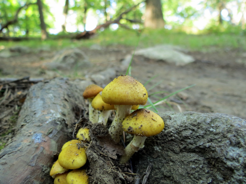 Tiny mushrooms |
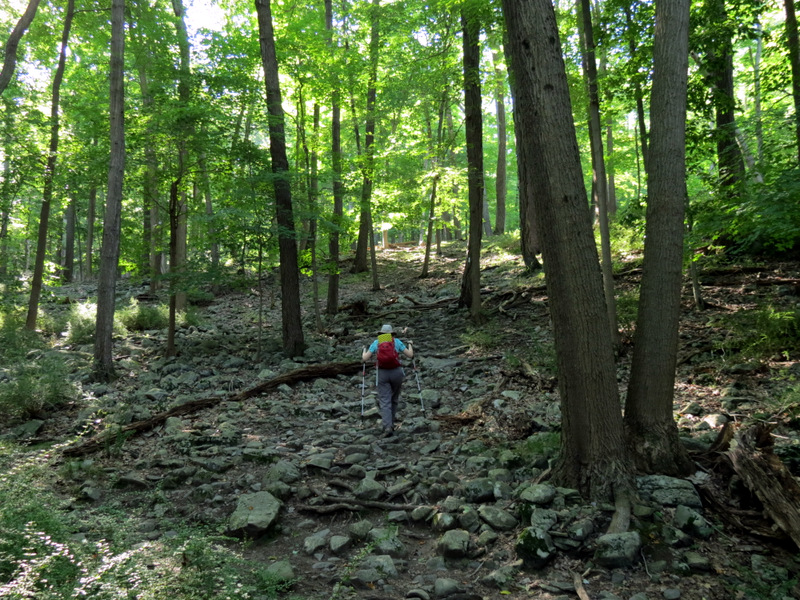
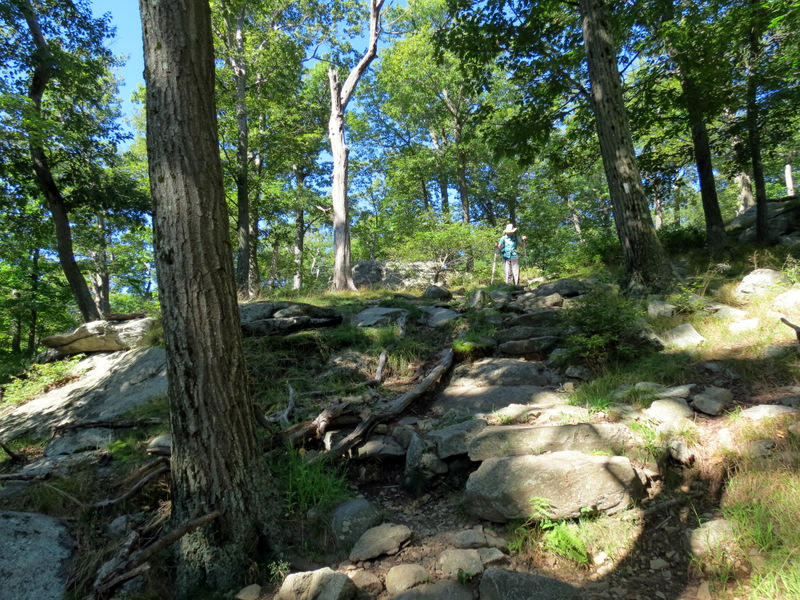
 Climbing Green Pond Mountain |
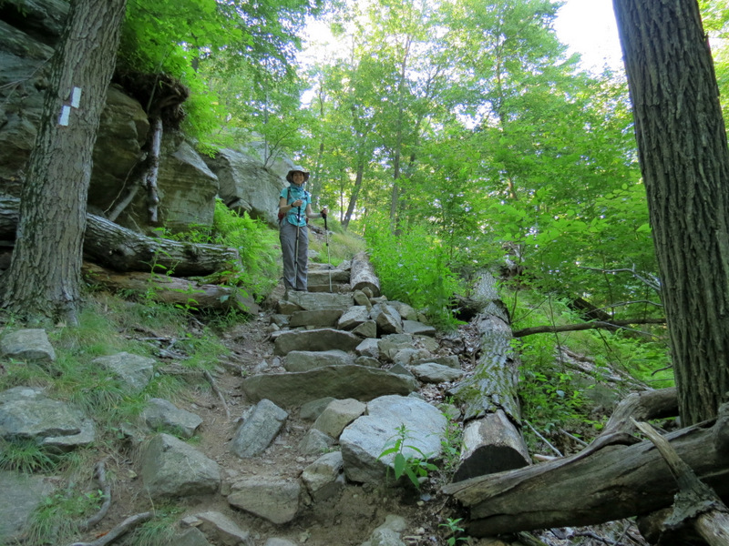 Steps on AT |
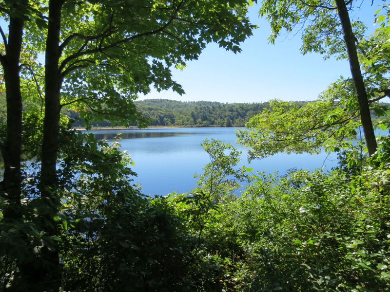
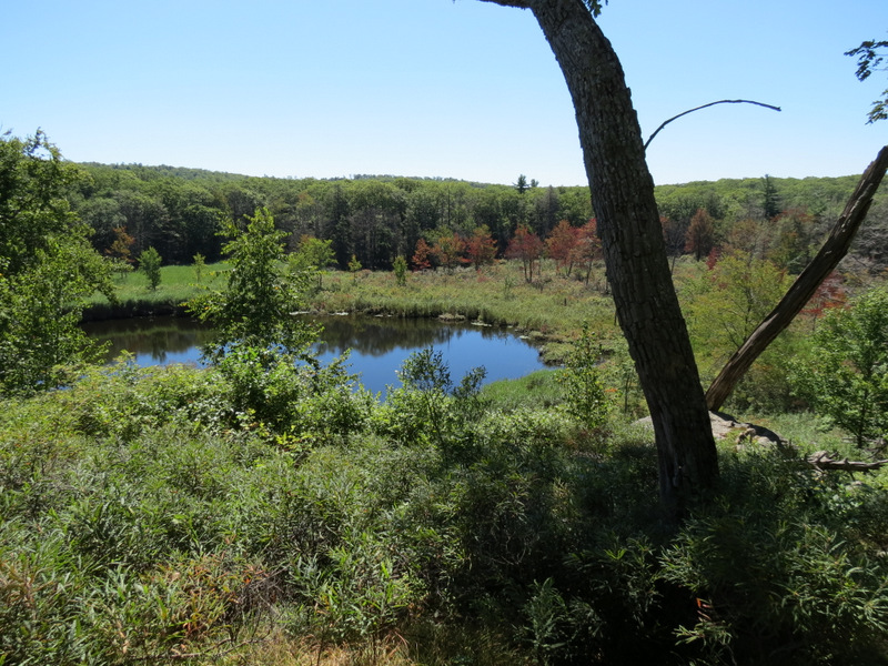
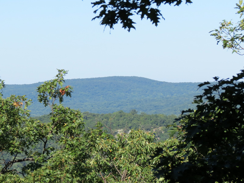 Seasonal view |
 |
 |
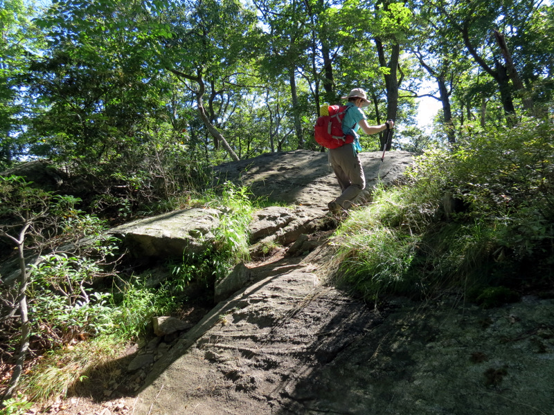
 Now descending |
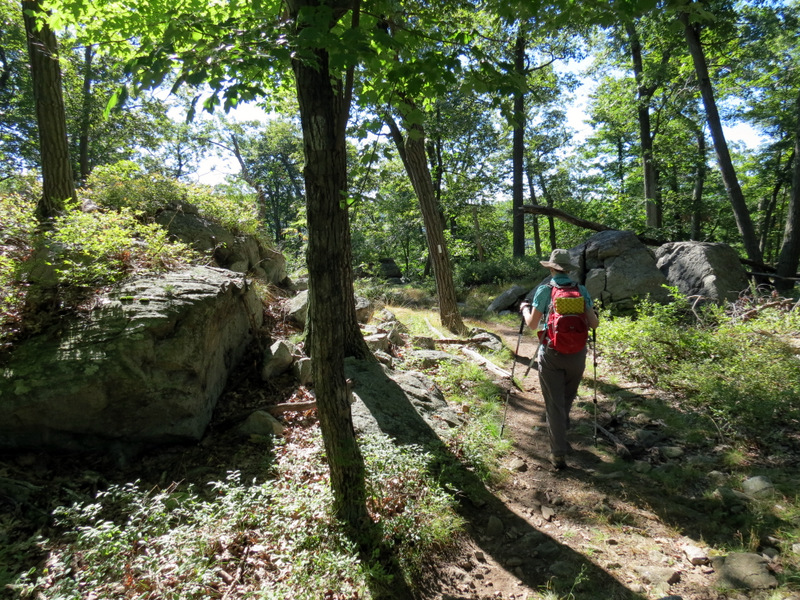
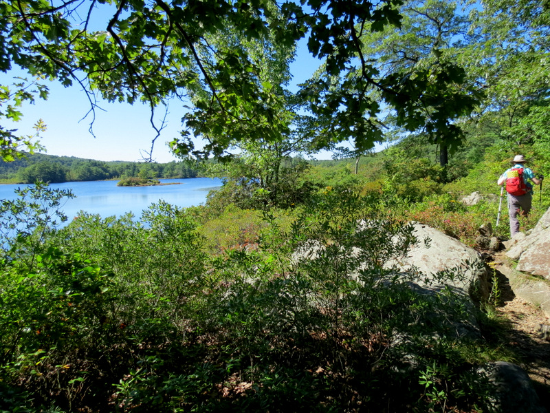
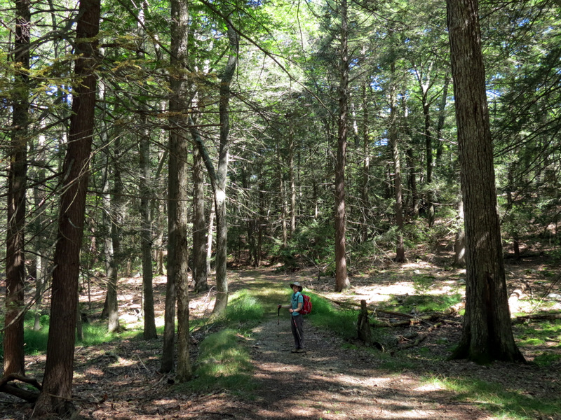
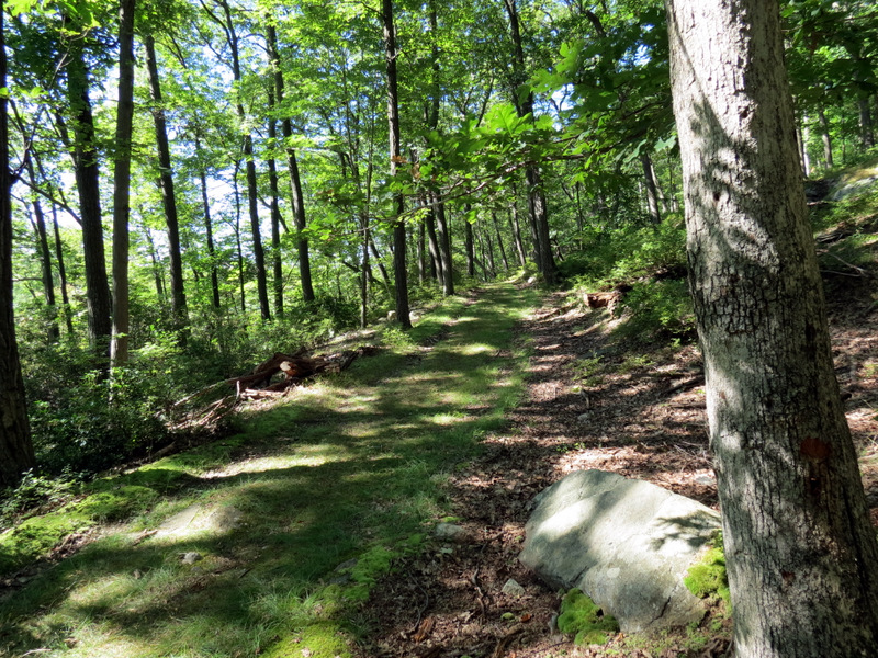 Island Pond Road |
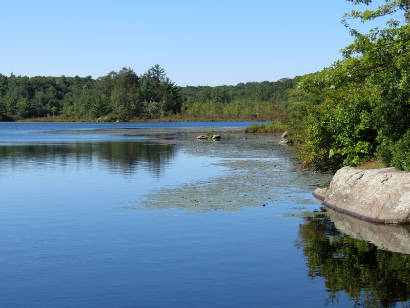
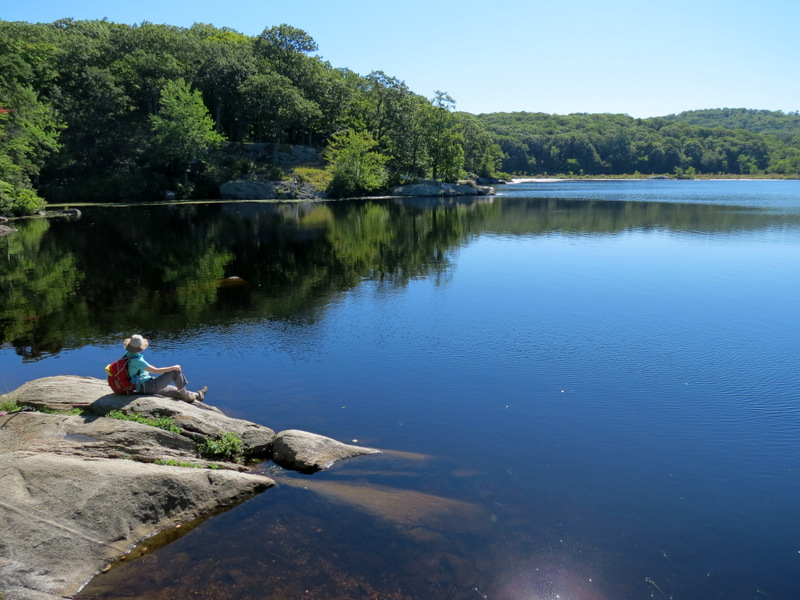
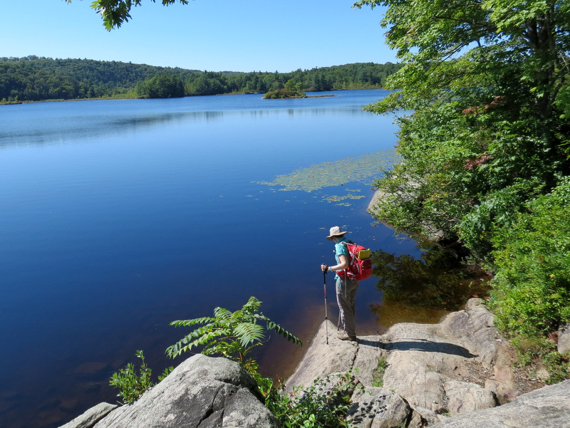
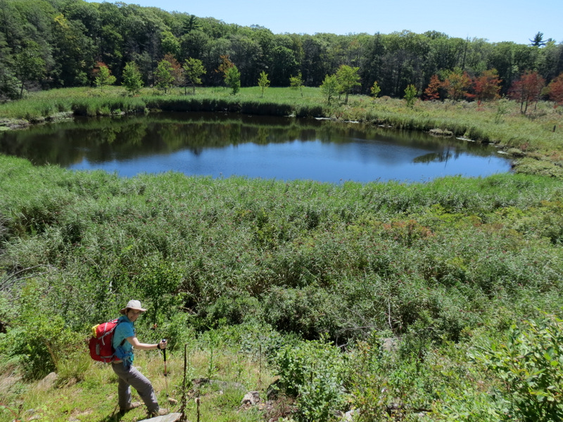
 Island Pond |
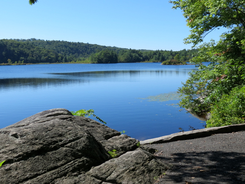 Boat launch for Island Pond |
 View south |
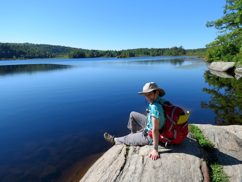 The Little Mermaid |
 |
 View east |
 [Photo by Laura] |
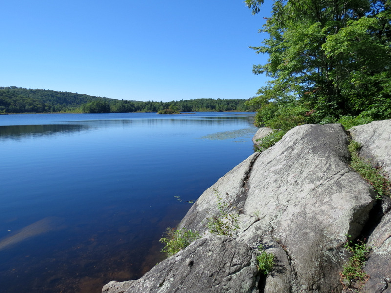
 View south |
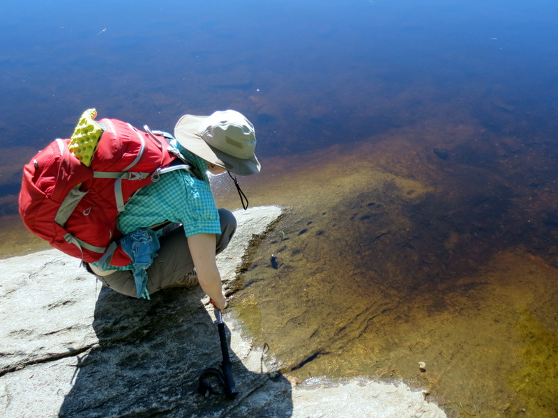 Clear water |
 |
 Path along bank |
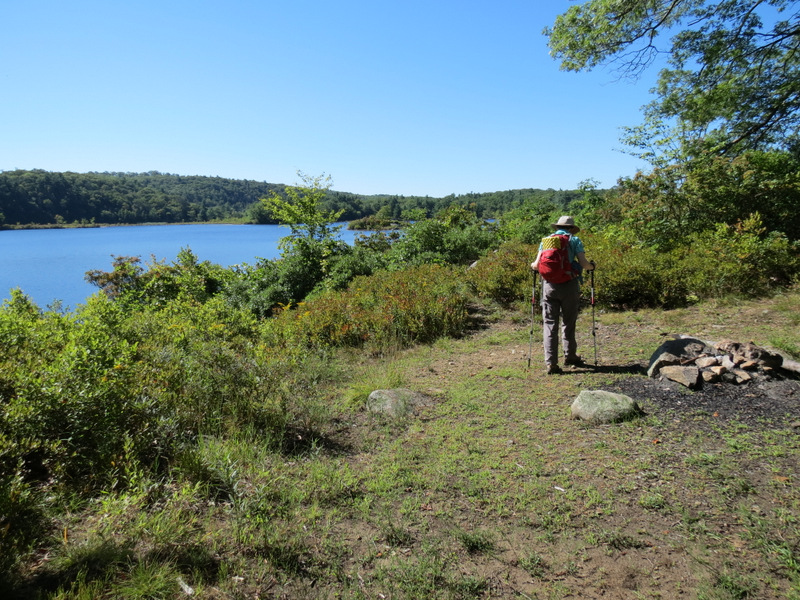 Fire ring |
 |
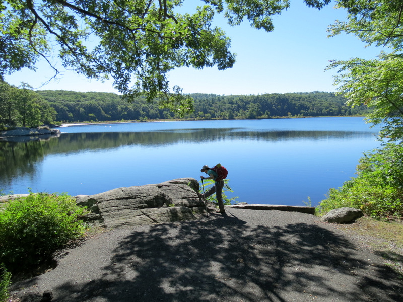 Boat launch |
 |
 The island of Island Pond |
 Island Pond Road |
 Blow-downs |
 Blow-downs are navigable |
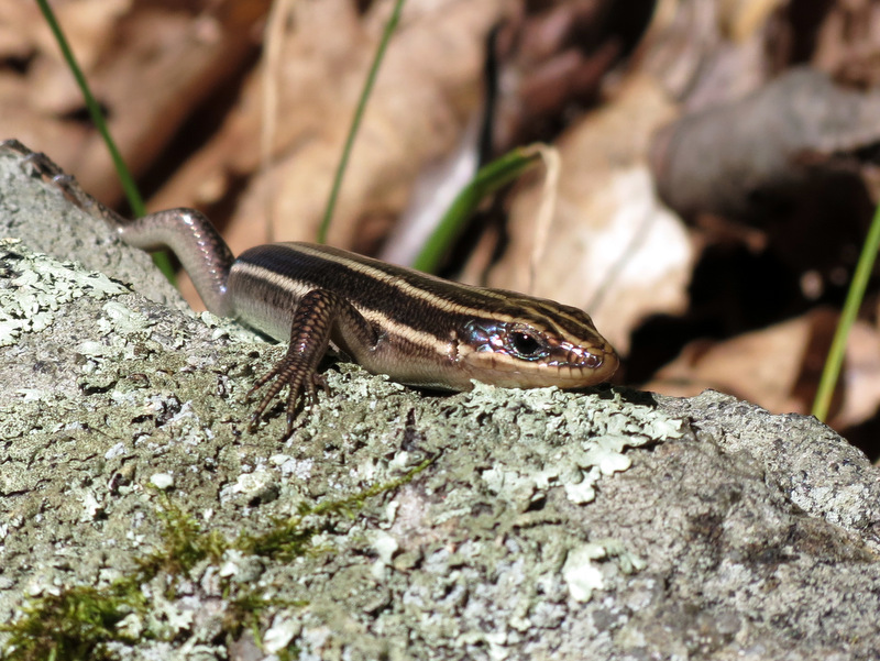 A cute little curious ... |
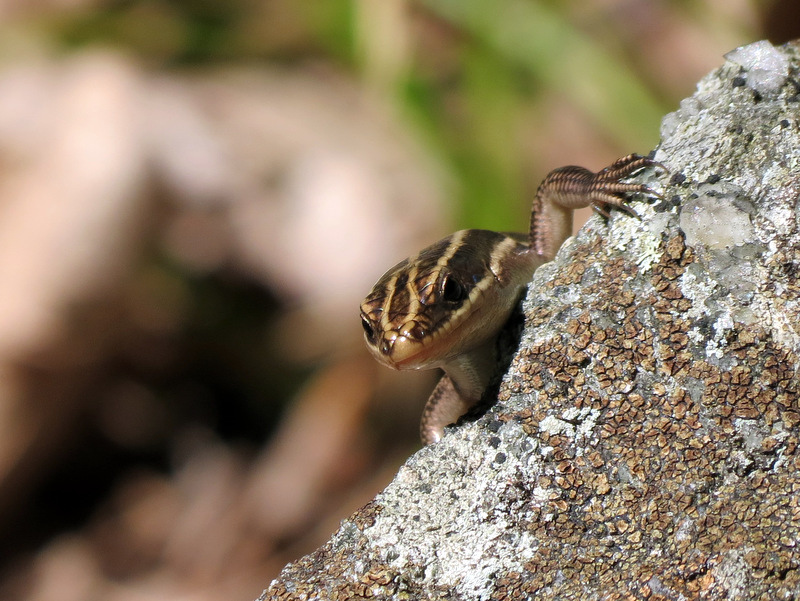 blue-tailed skink |
 A narrow Arden-Surebridge |
 Arden-Surebridge passes ... |
 ... through a swamp |
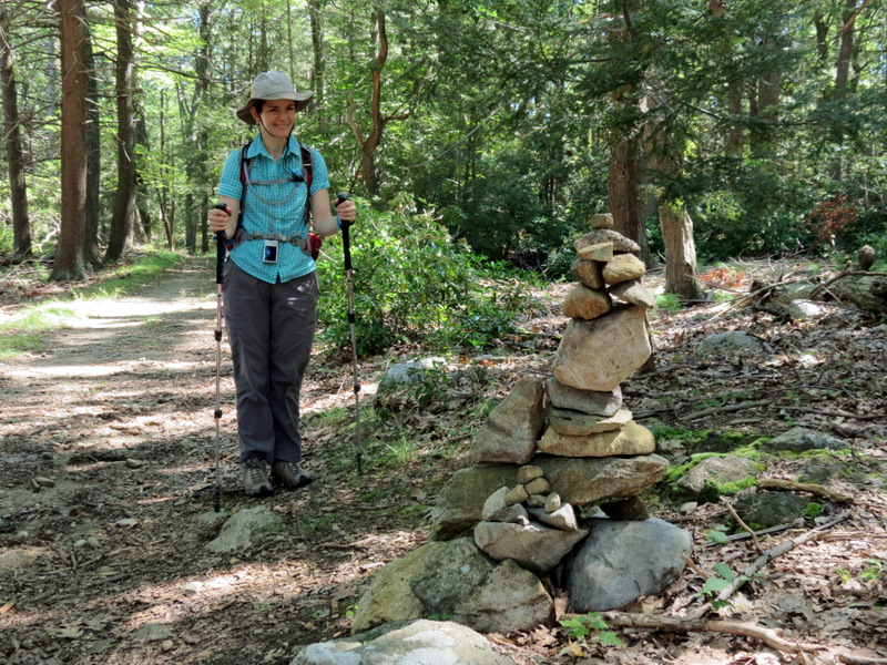 Impressive cairn |
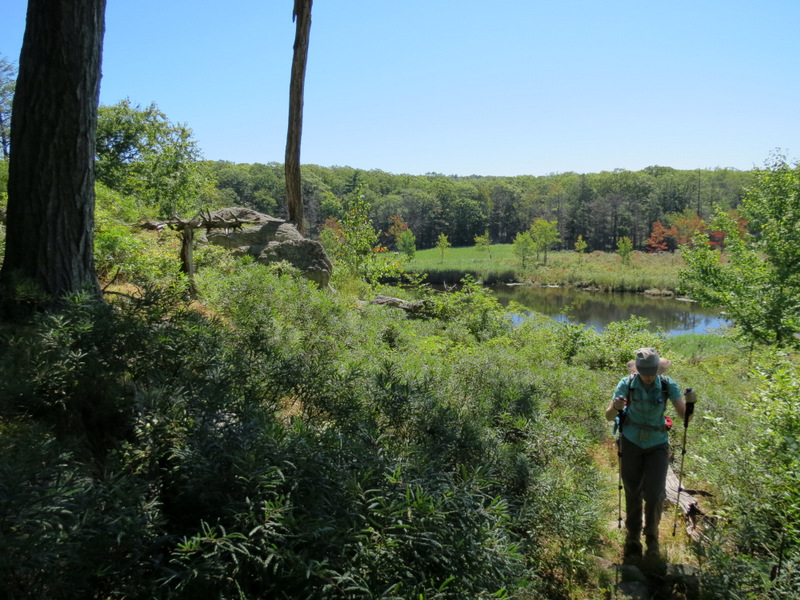
 Woods road near Boston Mine |
 What the? |
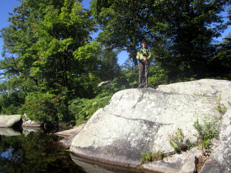
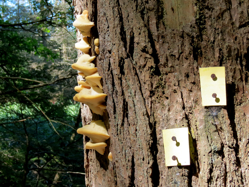 Dunning blazes and mushrooms |
 Dunning |
 Along bank of ... |
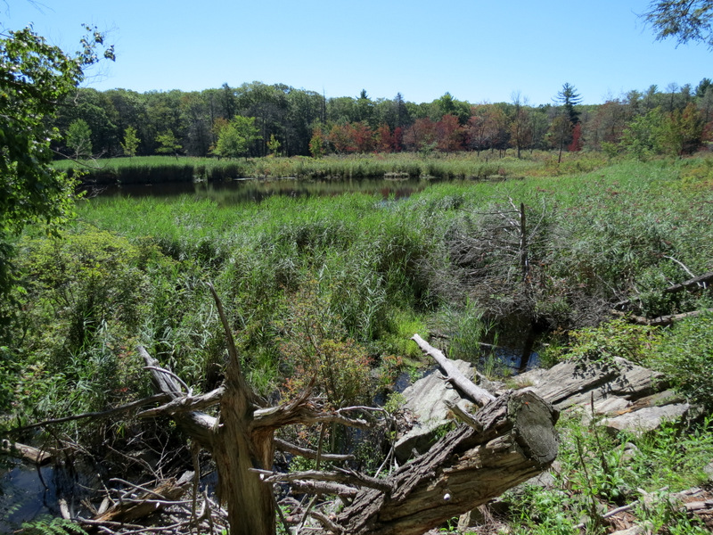
 ... swampy area of ... |
 ... Green Pond |
 |
 |
 |
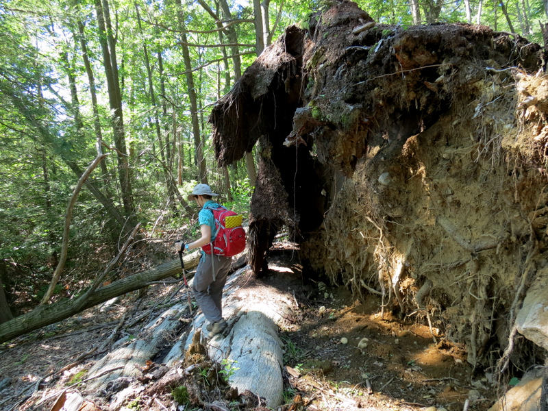
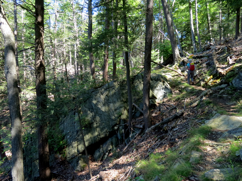
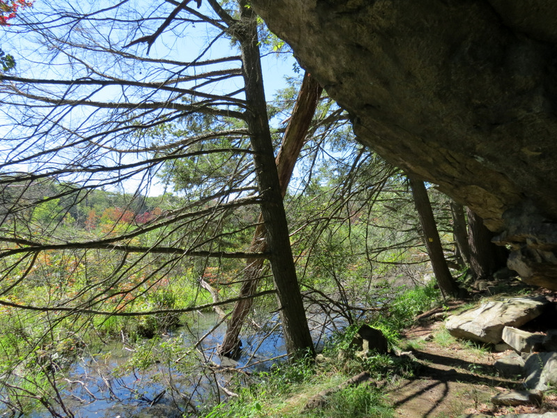 Huge rock overhang ... |
 ... on Dunning |
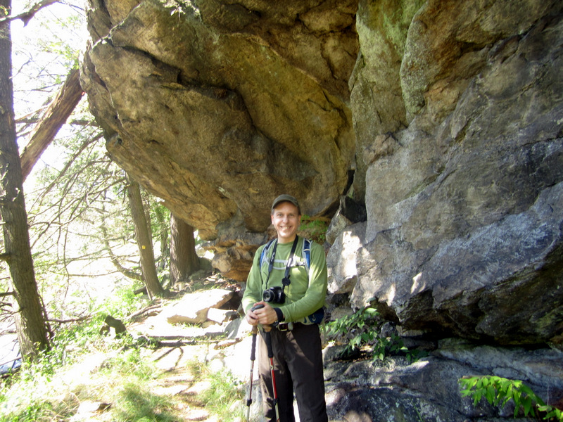 [Photo by Laura] |
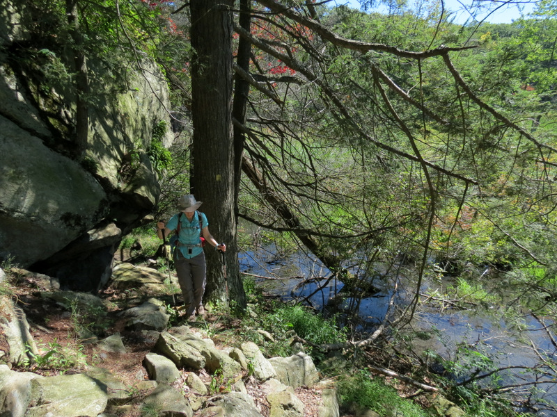 A rocky Dunning trail |
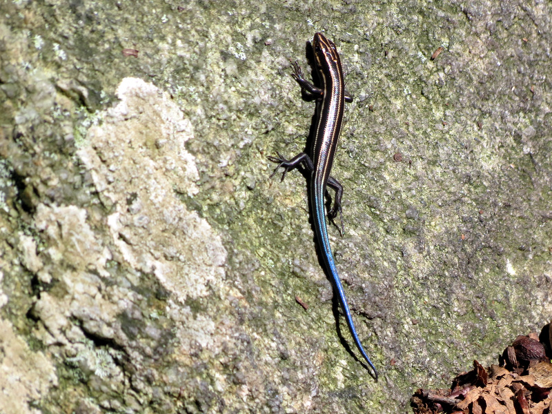 Blue-tailed skink |
 |
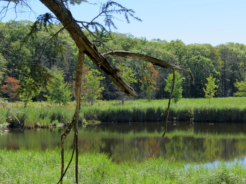
 Green Pond |
 View south ... |
 ... and overhead |
 Climbing Dunning |
 View from top |
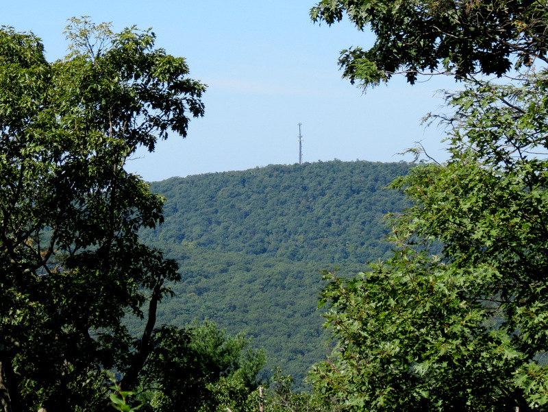 Antenna on hill |
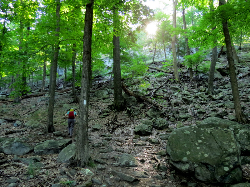
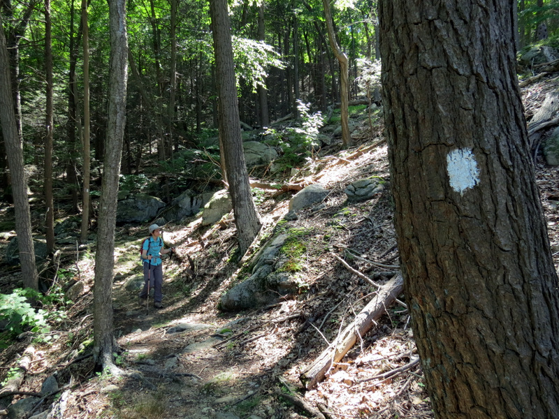
 Seasonal view on White Bar |
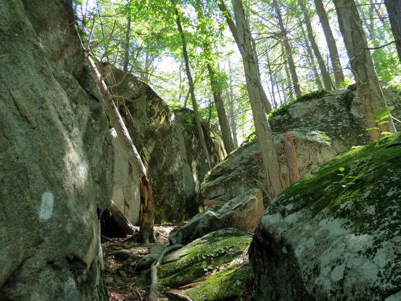
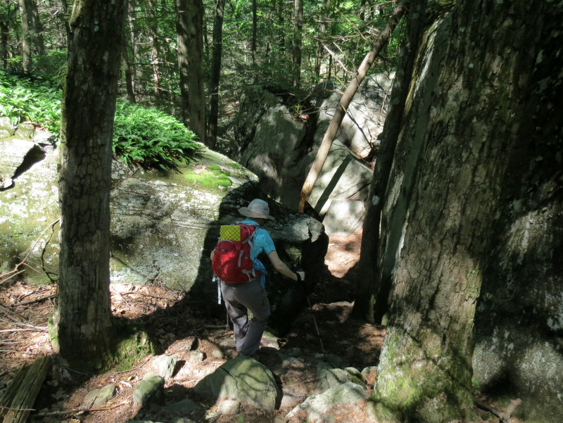 Descent through ... |
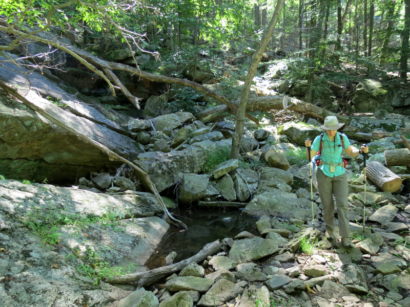
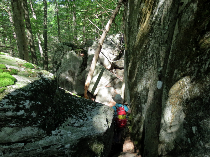 ... Valley of Boulders |
 View back up |
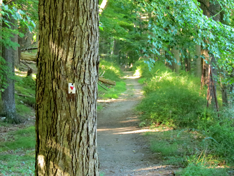
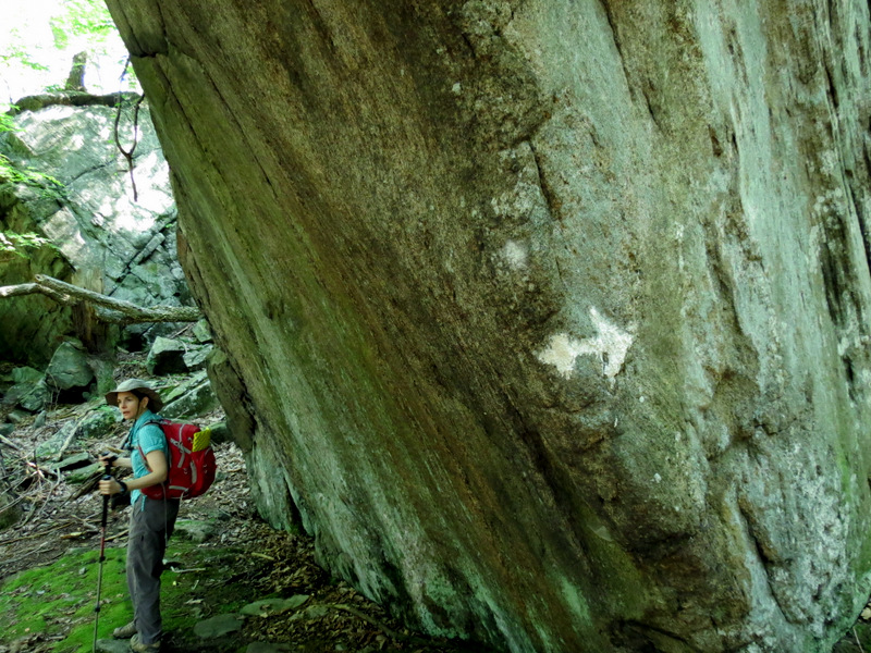 Arrow shows the way |
 A rocky ... |
 ... White Bar trail |
 |
 Burst of green |
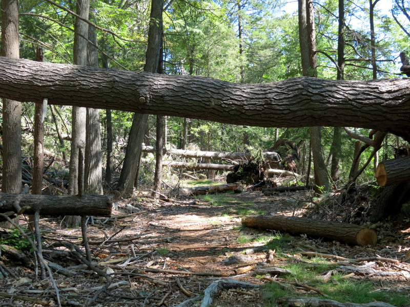
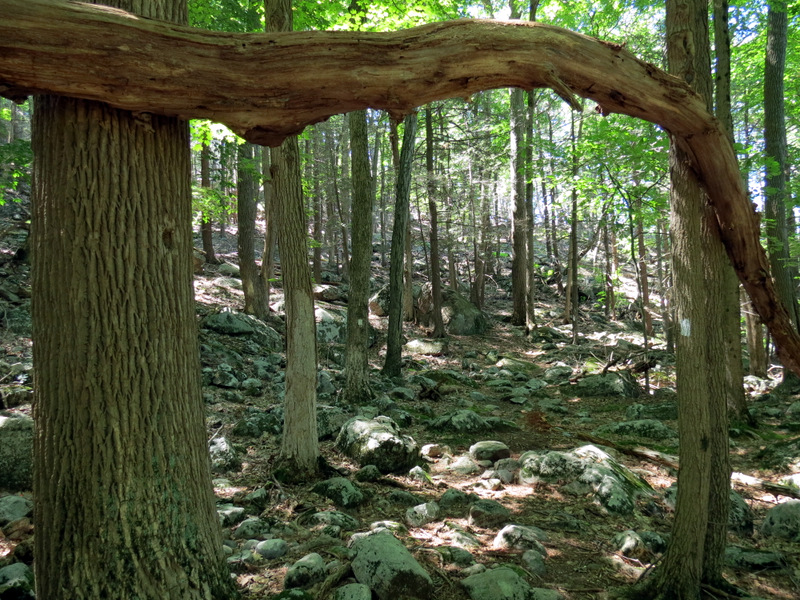
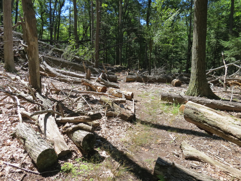 Lots of Sandy damage |
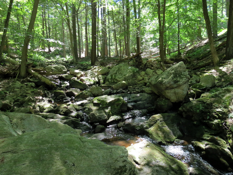 Stahahe Brook |
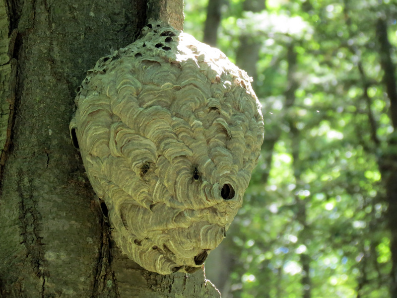 Hornet nest on Stahahe |
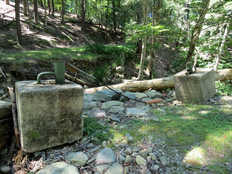 Washed-out bridge |
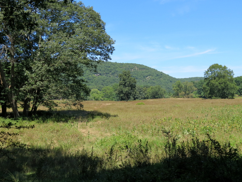 View to Sterling Forest |
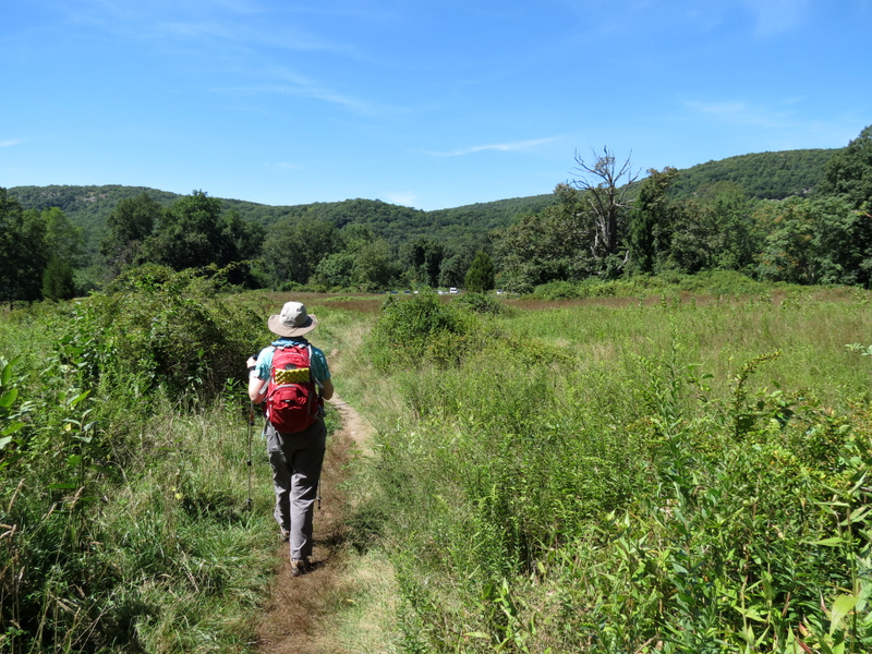 Path back to car |

|
|
Photographs and content copyright © Dan Balogh Web design by Dan Balogh |