 |
|
Today we headed for this lovely parcel of land no more than a 25-minute drive away. It's the former site of the Jersey City watershed in Denville, acquired by the POWWW
(Protect our Wetlands, Water & Woods) in 2001. The property is now owned by the Morris County Park Commission and the NJ Division of Fish and Wildlife. There are at least
five miles of trails here, with lots of unblazed woods roads as well.
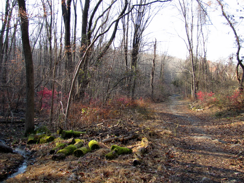
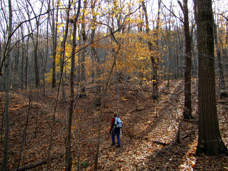
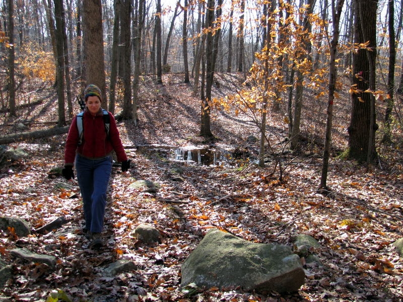
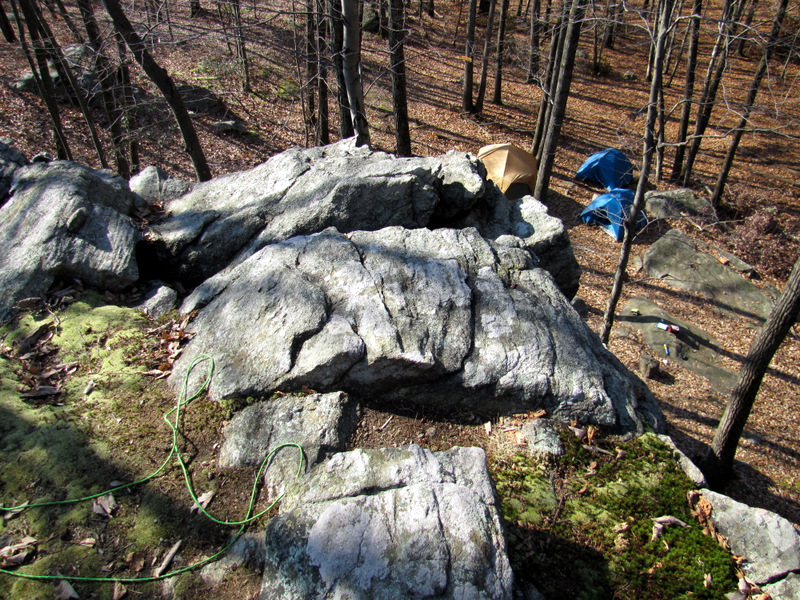
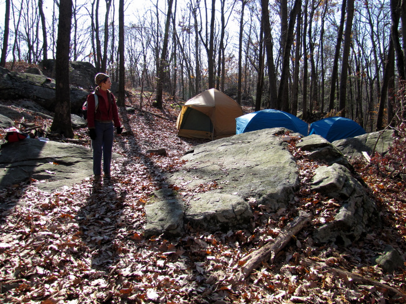
Using this map, we parked at the northern gate to Ford Road (on Old Beach Glen Road) and headed south. We took the Cathedral Pines trail (which is actually sort of a loop, not accurately depicted on the map), then the Birder's Loop (which is a v-shaped trail, also not shown as such on the map). Heading a bit back north on Ford Road we next headed east on the red Ford Road trail, taking this all the way to the blue-blazed Hillcrest Trail, which climbed the ridge. We next took the Mud Hole trail (unblazed) to get to the green Little Bear Trail which we took NE to get to the Hog Pen, on the pink trail. Up to this point we had not seen a single person in the entire park. Imagine our surprise when we got to the Hog Pen (a huge rock formation and easily the most memorable aspect of the park) and found at least a half dozen tents pitched, along with jackets, backpacks and loads of other camping equipment strewn all over the area, even across the Hog Pen! I felt as if I walked into an Occupy Hog Pen protest! Climbing the Hog Pen I noticed rock climbing gear still left at the top. The big surprise was that there was no one around! The tents were empty, and apparently everything else was left behind as well. Go figure! From the pink trail we headed NW on the red trail (which we had difficulty finding with all the tents pitched right on the graded trail and intersection). This we climbed again to the ridge before finally making a right on the orange Old Beach Glen trail. We then walked along the shoulder of Old Beach Glen Road back to the car. Total distance hiked today was 5.3 miles in 3 hours.
|
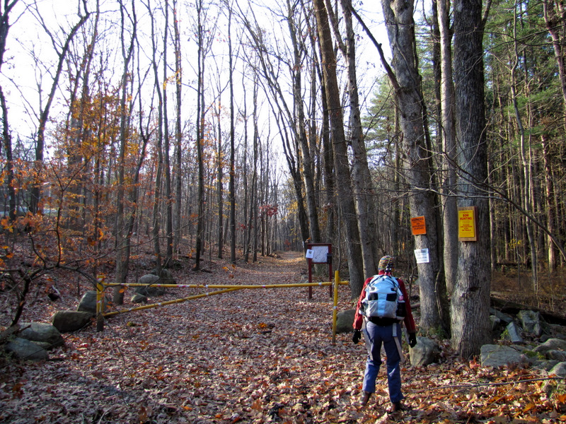 Northern gate of Ford Road |
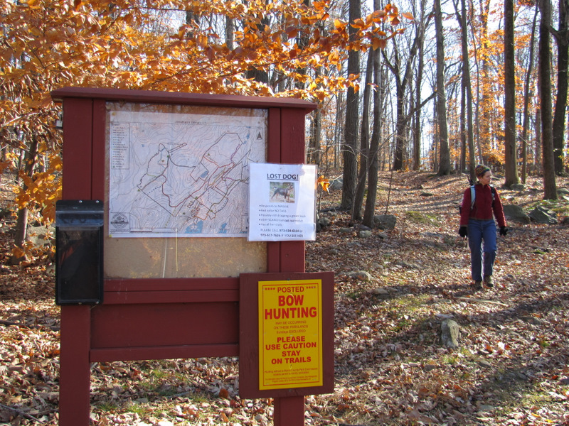
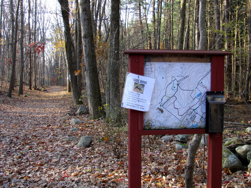 Kiosk |
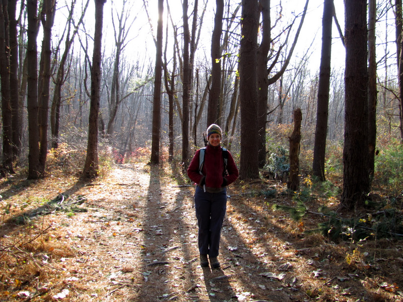
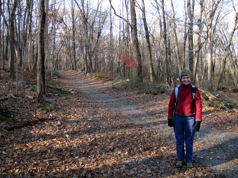
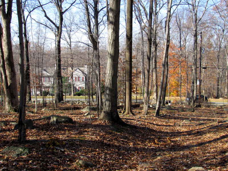
 Heading south on Ford Road |
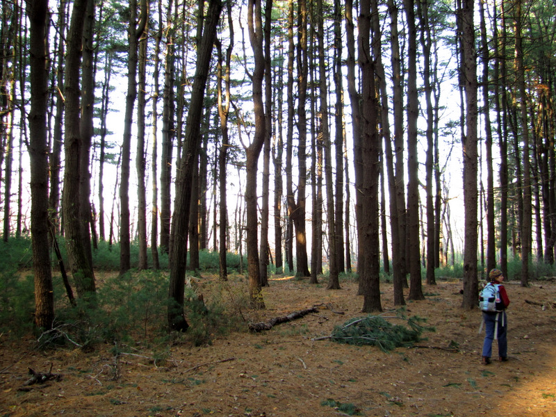
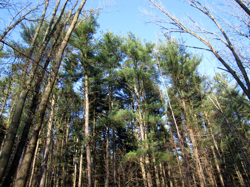 Cathedral pines |
 View south on Ford Road |
 On the pine trail |
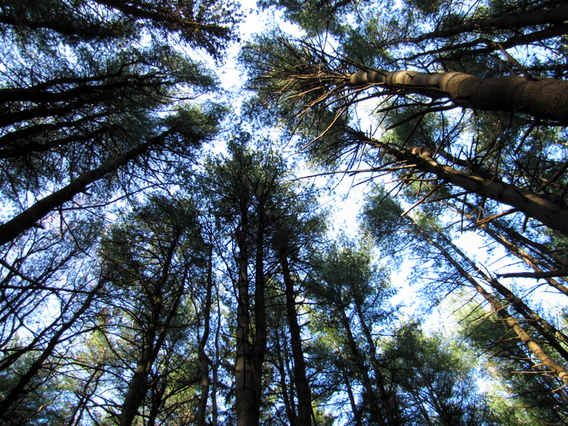 Pines! |
 Heading west |
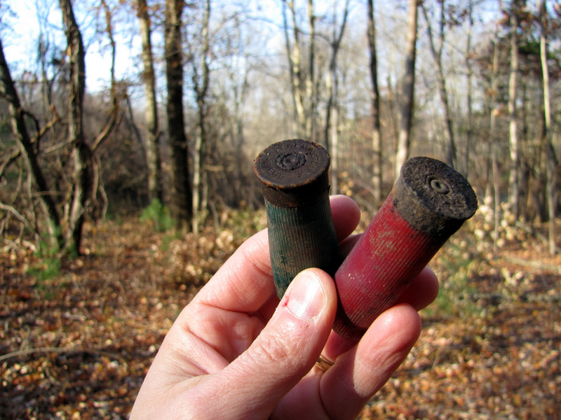 Spent shotgun shells |
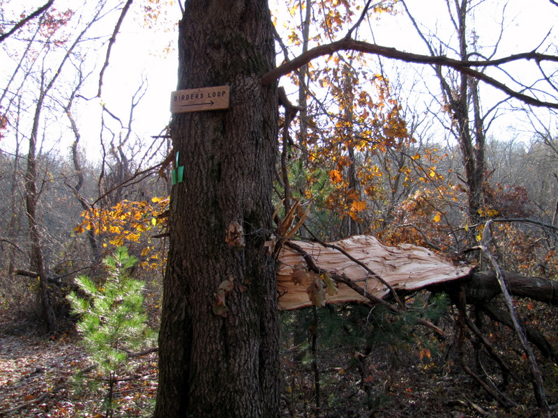 Birder's Loop trailhead |
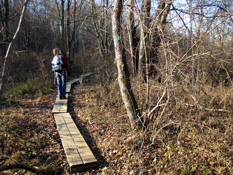 Boardwalk on Birder's Loop |
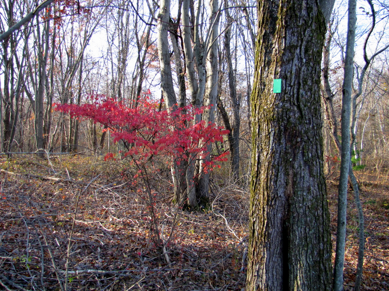 |
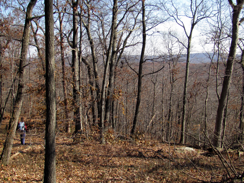
 Views north ... |
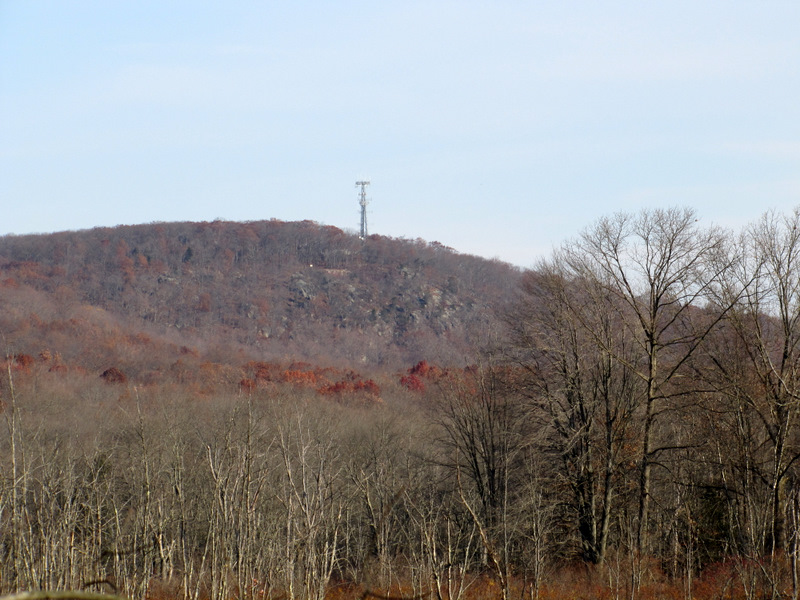 ... from Birder's Loop |
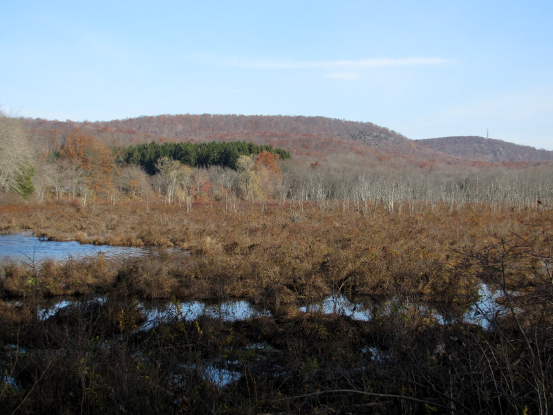 |
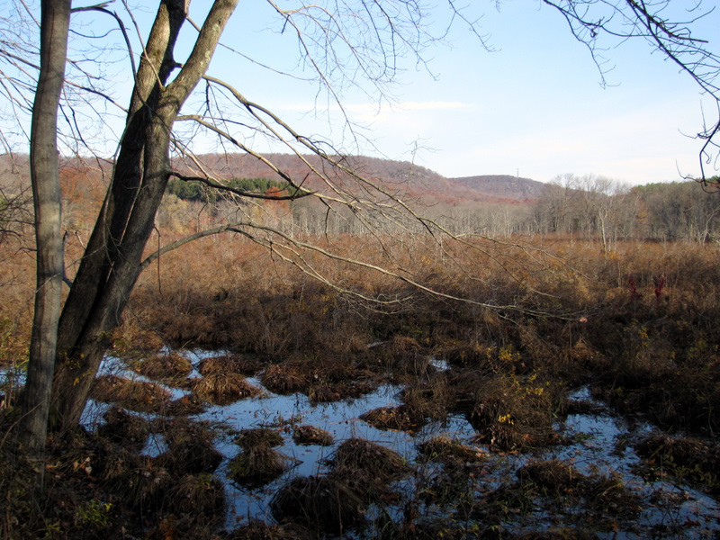
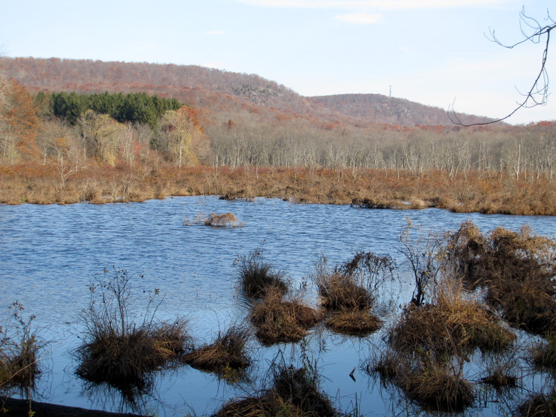
 Marsh at western tip ... |
 ... of Birder's Loop |
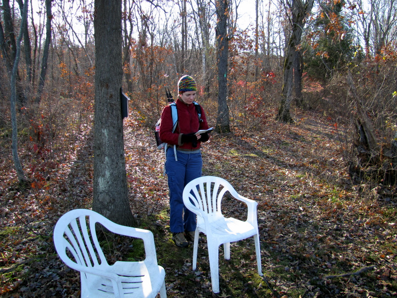 Chairs at the tip |
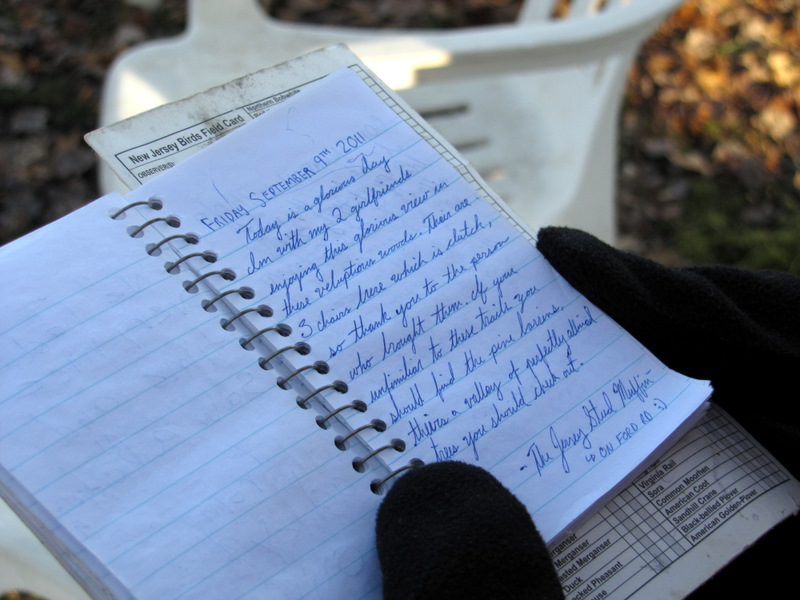 Guestbook |
 |
 Back on Ford Road |
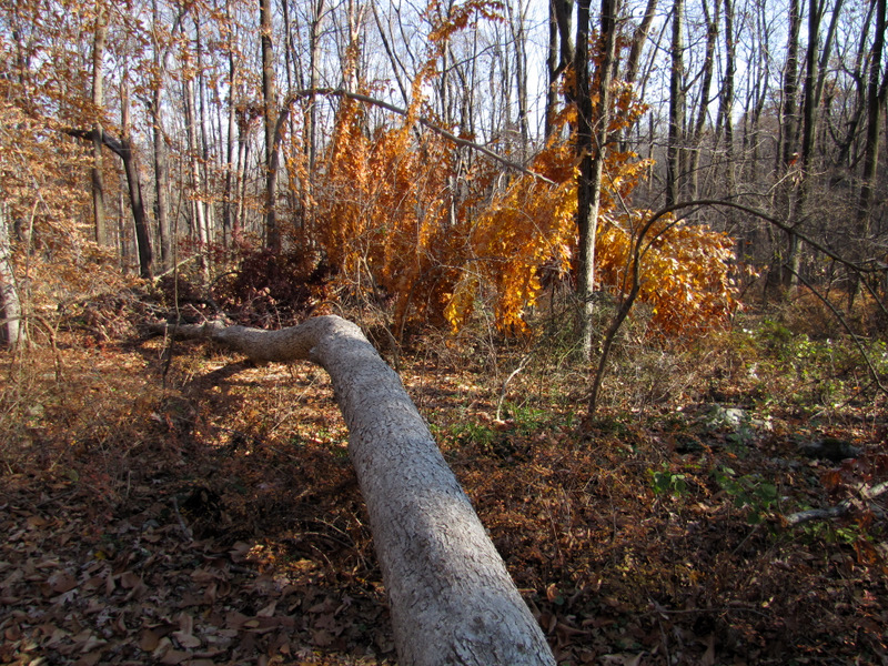
 Ruins on the red trail |
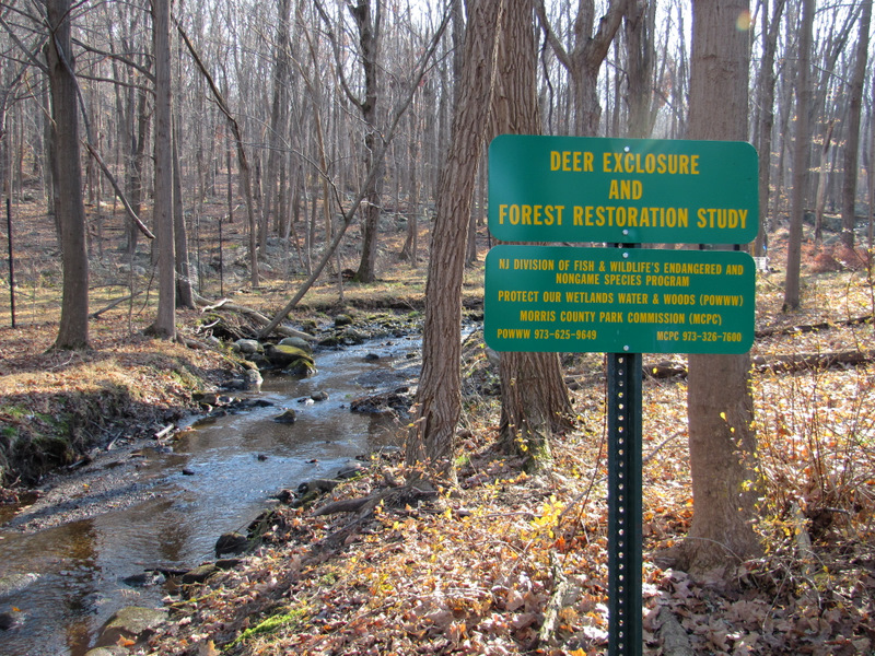 |
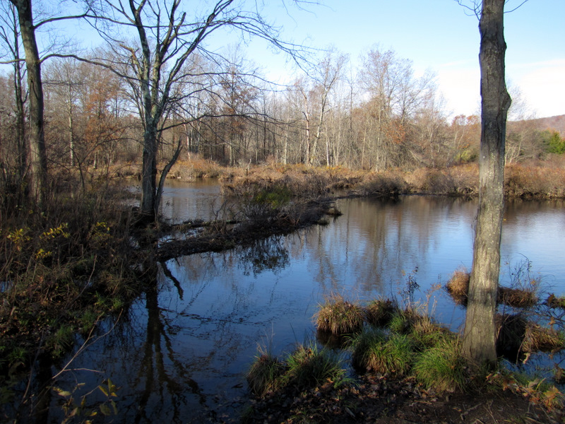
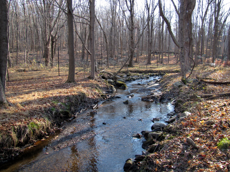 Stream to Beaver Brook |
 |
 Stream off Red |
 Red continues left at fork |
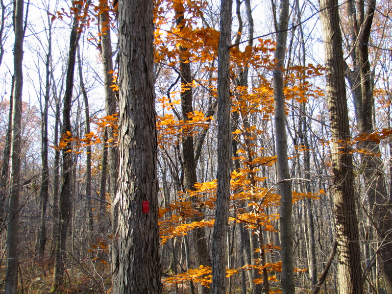
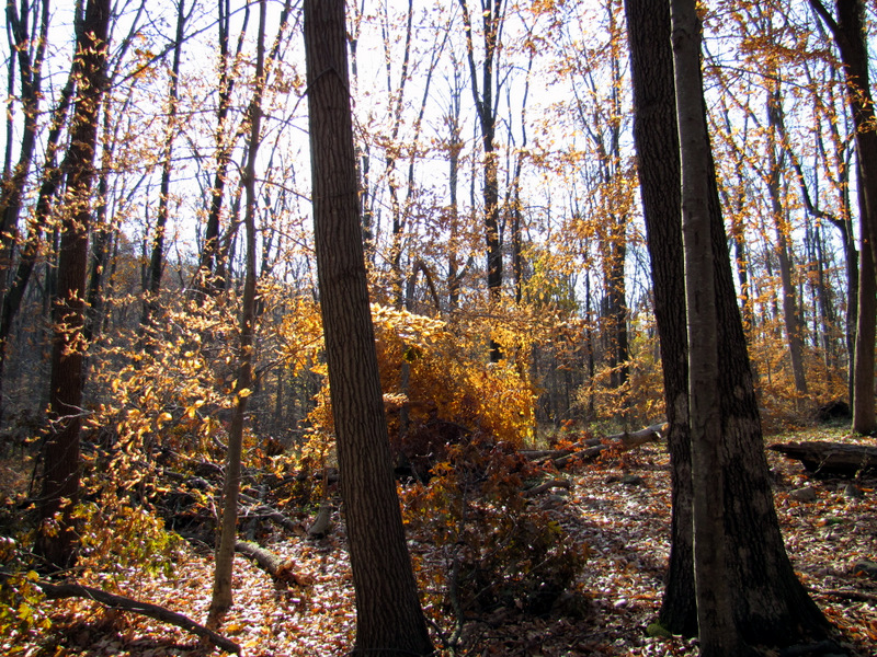
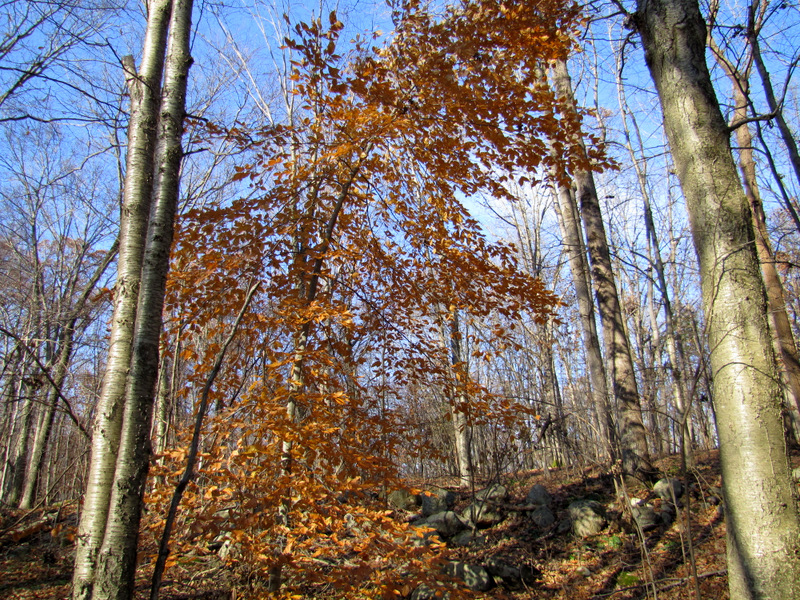 Beech color |
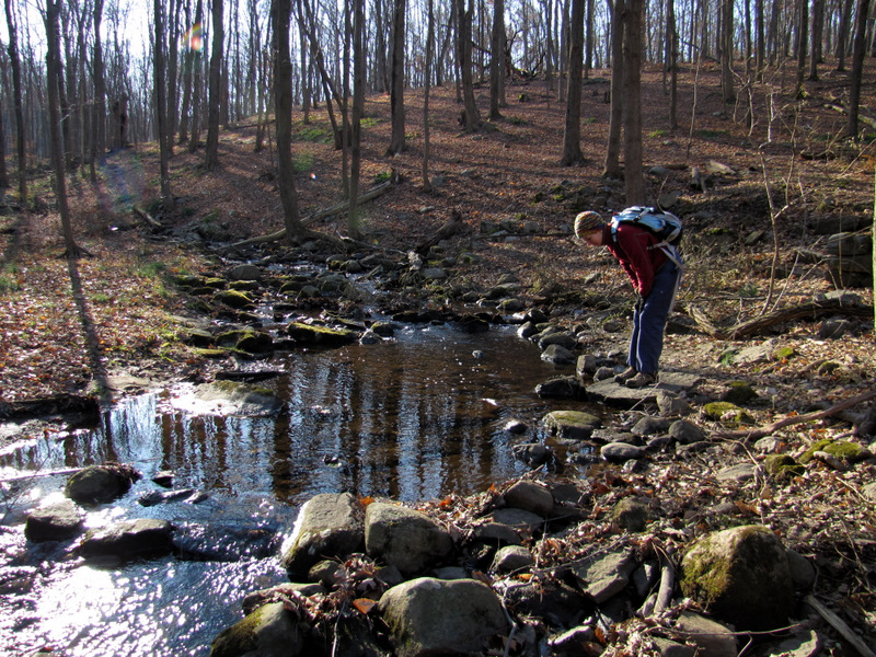
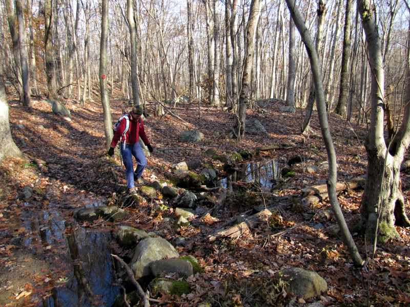 Stream crossing |
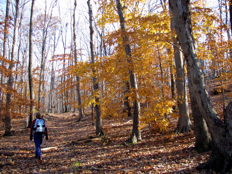
 Colors ... |
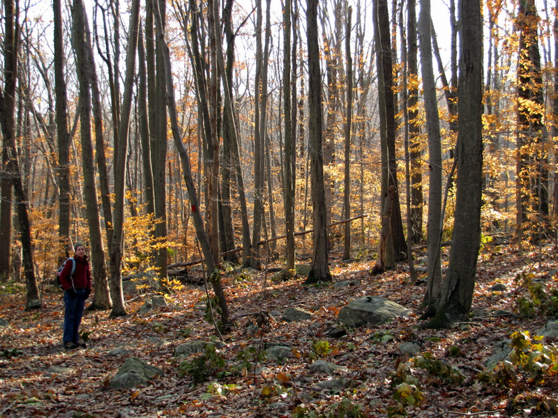
 ... on Red |
 |
 Boundary wall |
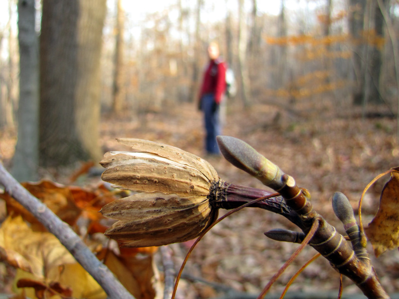
 Lots of leaf drop |
 Last remaining ... |
 ... fall color |
 |
 |
 |
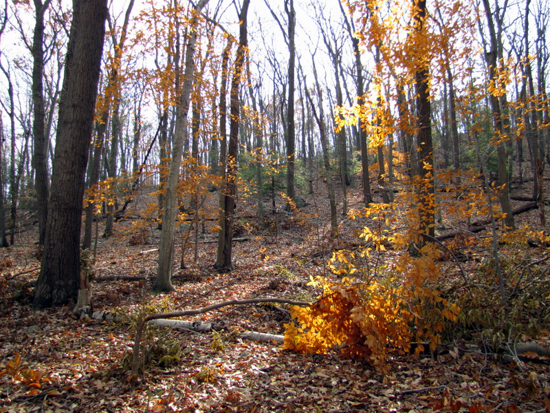 |
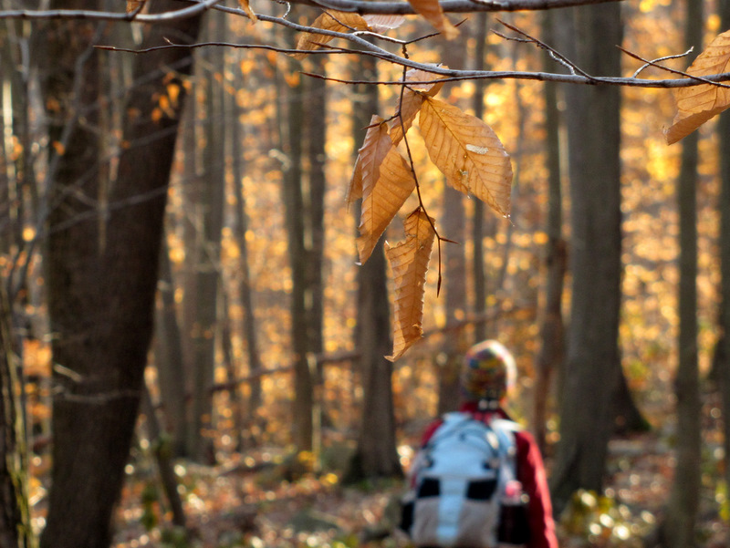
 Beech colors on Red |
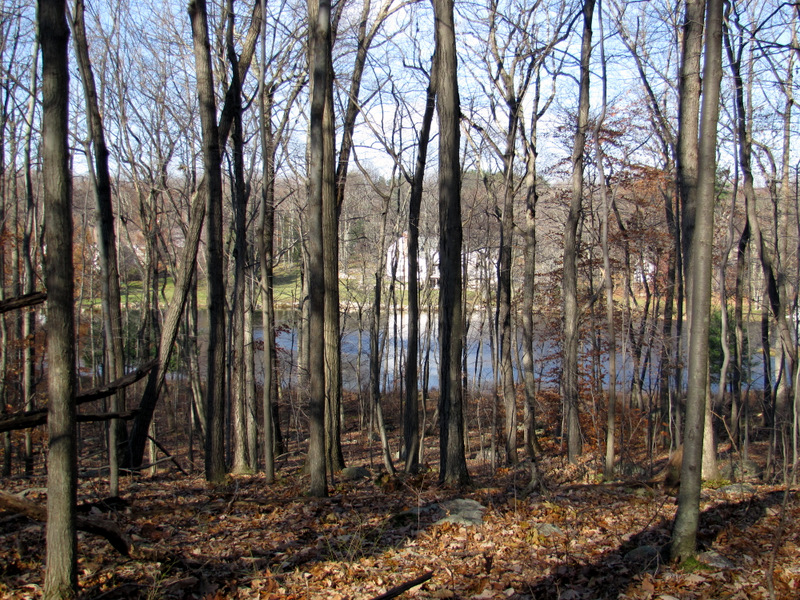 Private lake west of Red |
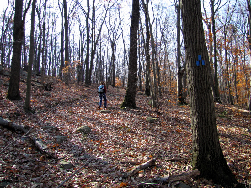 Climbing on Blue |
 Woods road to Green |
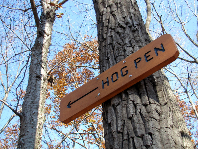 Sign for Hog Pen |
 On Pink trail |
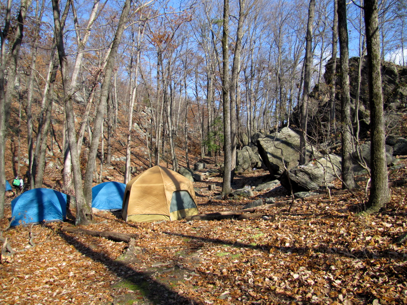 Tents at ... |
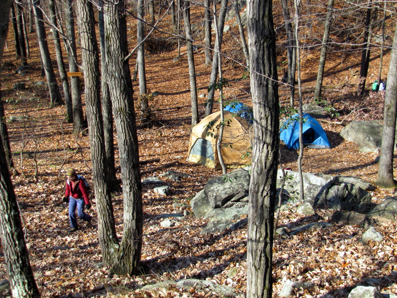 ... "Occupy Hog Pen" |
 Climbing gear at top |
 View east from top of Hog Pen |
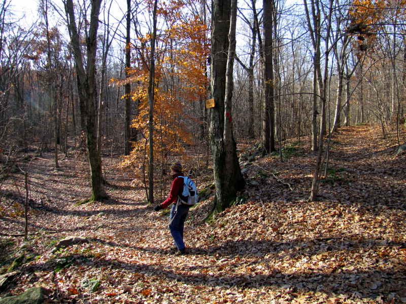
 Looking for Red trail ... |
 ... behind the tents |
 Hog Pen looms over tent |
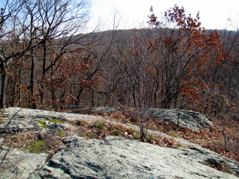
 Partial views ... |
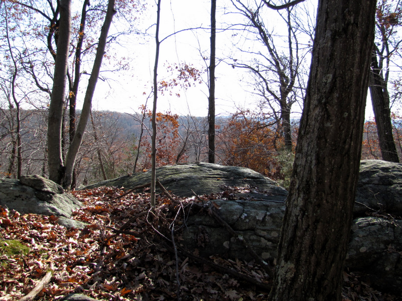 ... from the ridge |
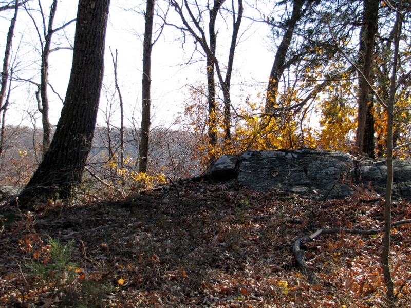
 Descending a bit |
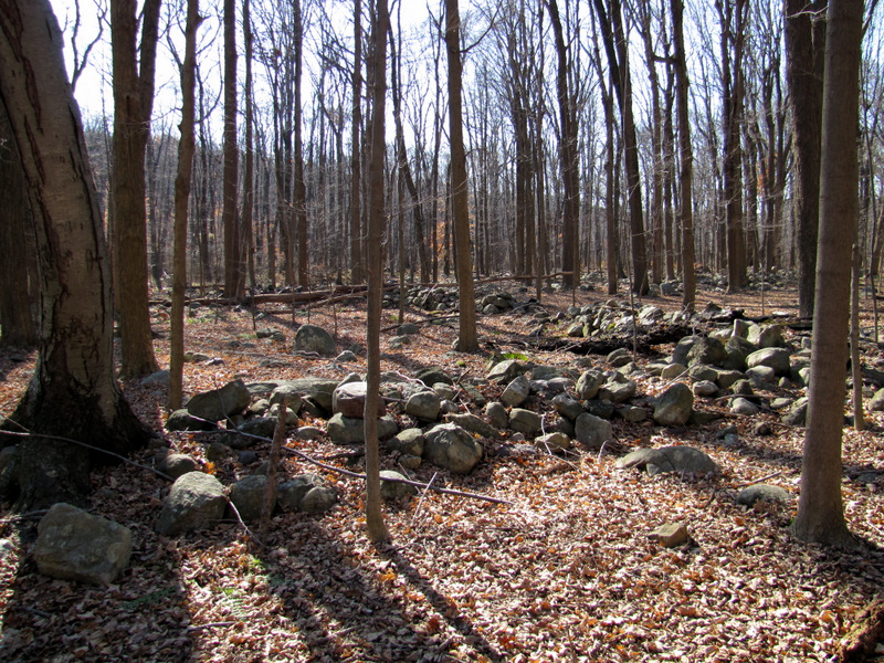 Lots of boundary walls on Orange |
 |
 Approaching Old Beach Glen Road |
 Kiosk at Orange trailhead |

|
|
Photographs and content copyright © Dan Balogh Web design by Dan Balogh |