 |
|
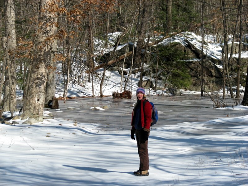
This circuit hike in the northern part of Sterling Forest is on trails that are relatively new, so much of this hike doesn't appear on the latest
NYNJTC map for Sterling Forest (map 100, 3rd edition, June 2005).
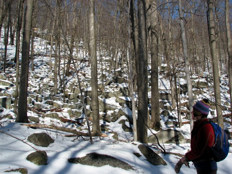
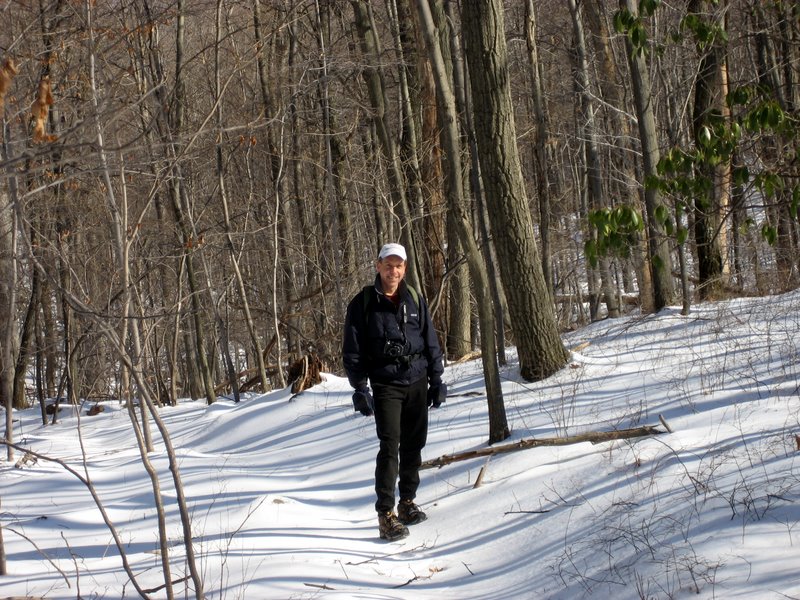
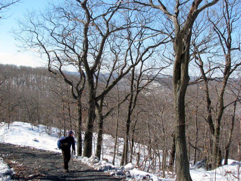
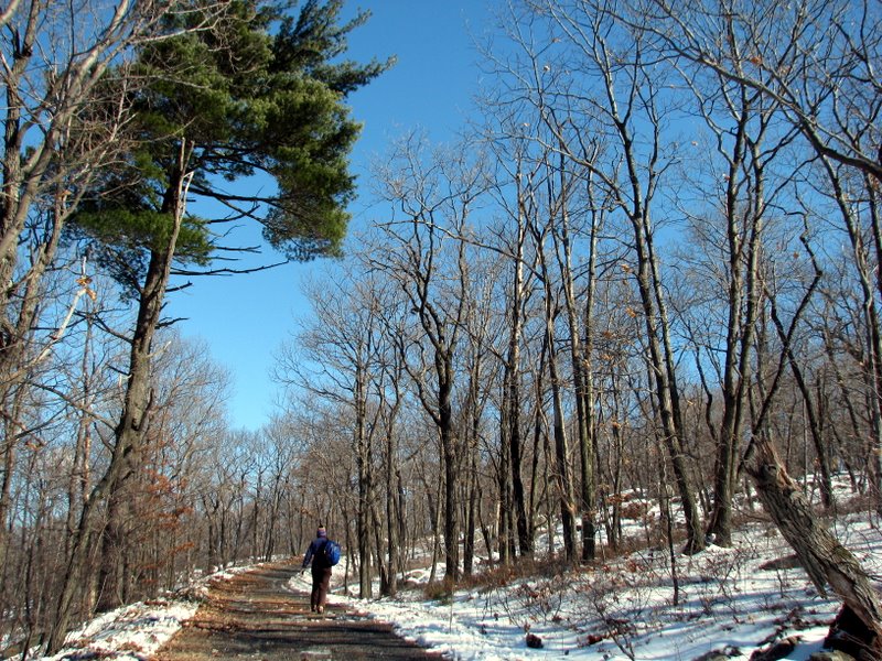
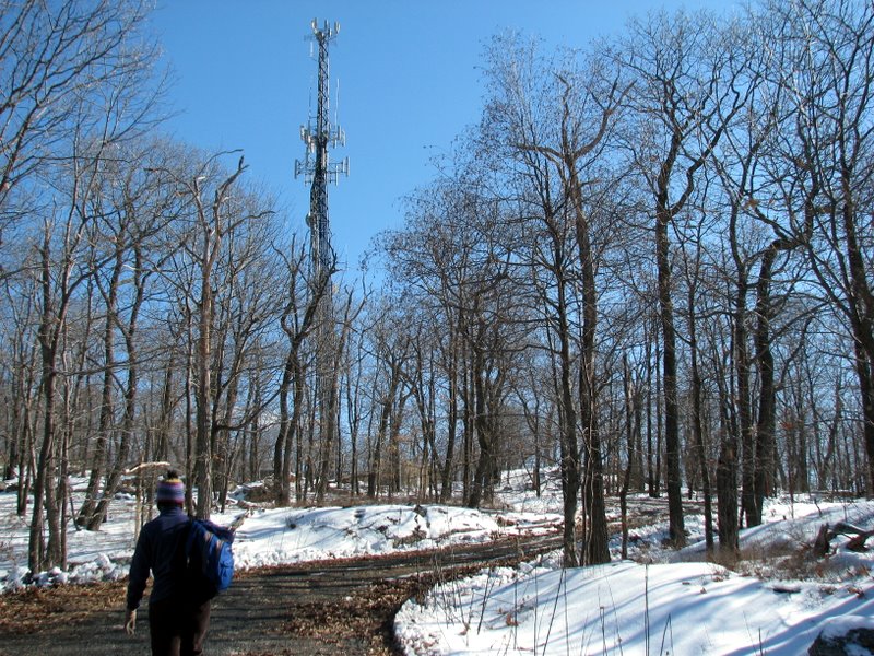
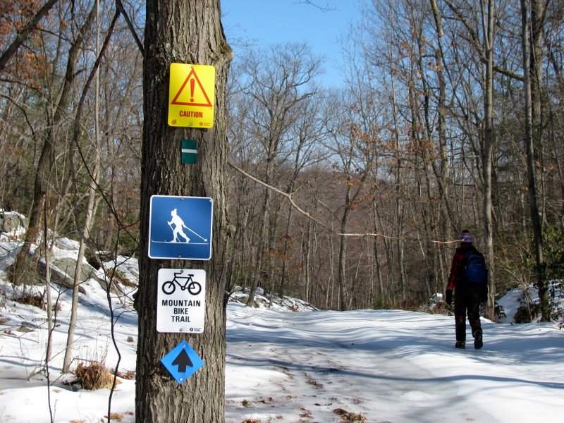
Starting at the tiny pull-off on Hall Drive (just off Orange Turnpike in Tuxedo, NY), we headed south on the white-blazed Wildcat Mountain trail (the same trail we took a week ago, from its southern terminus). We next made a right on the Townsend trail, marked as "Proposed" on map 100 but which is now blazed with horizontal green stripe against an orange background. We took this trail south until we noticed an orange triangle trail to our right, heading up the mountain. We took this to its terminus at a dirt road which leads up to a large RF antenna at the top of the hill. We made a right on this dirt road and visited the antenna at the top, with surprisingly limited views of the surrounding area. We returned back to where the orange triangle blaze ended at the dirt road, but continued on the dirt road (now becoming the Townsend trail once again). At the end of the Townsend trail, we made a right on the blue-blazed Long Meadow trail, taking that north back to Orange Turnpike. This completed the circuit at Hall Drive, but we still hadn't eaten lunch. So we decided to climb Indian Hill and eat lunch at the first viewpoint looking south. We hopped over the barrier on Orange Turnpike, following the white blazes of the Wildcat Mountain trail past the remains of the Southfields Furnace complex. We made a left on the red-blazed Furnace Loop and climbed to Indian Hill where we ate our lunch before returning to the car on Hall Drive. (Click on the thumbnail to bring up a bigger image in a pop-up window)
|
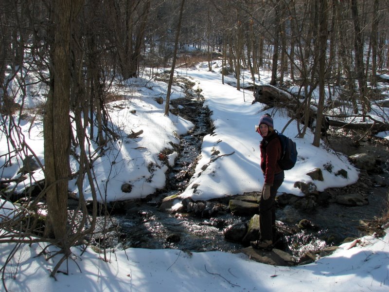 Tiny brook crossing at the trail head |
 |
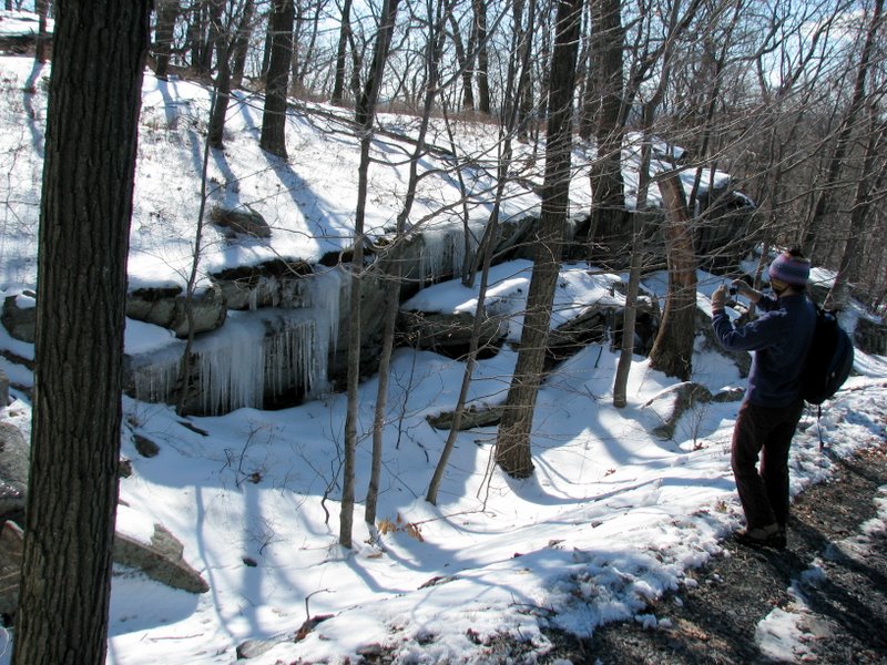
 Icy brook |
 |
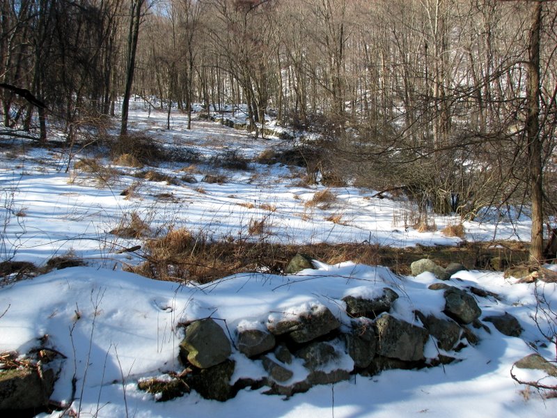 Boundary walls remains of Iron Master's house (of Southfields Furnace) |
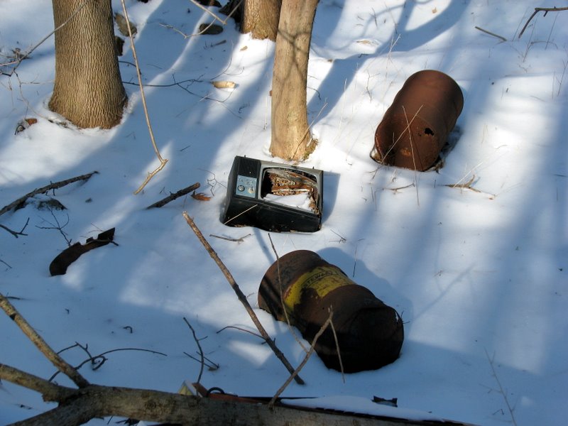 TV and other refuse |
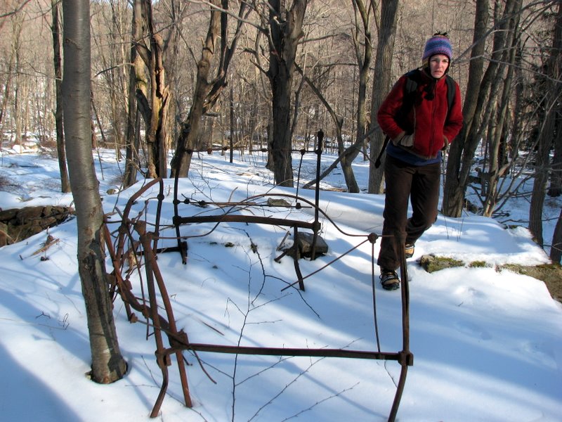 Remains of a bed |
 Water pump? |
 Detail |
 Ice on everything |
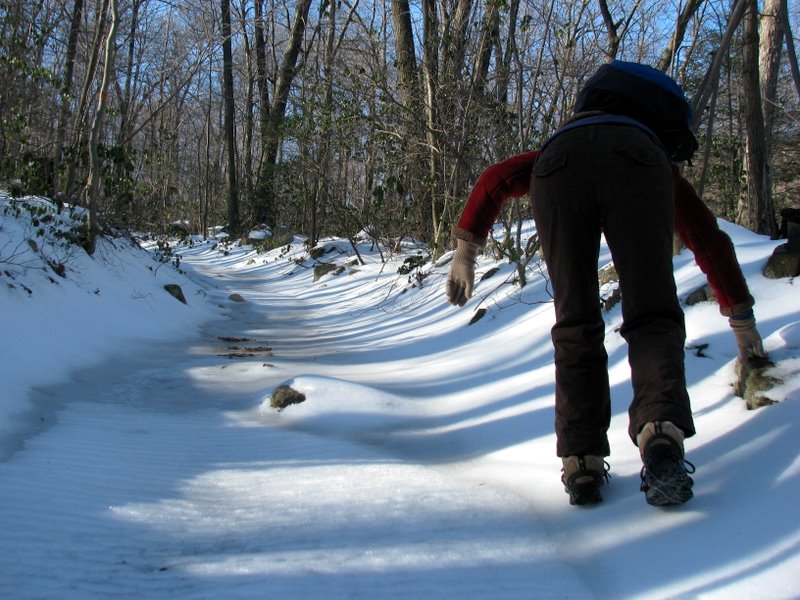
 But we had our Yaktrax |
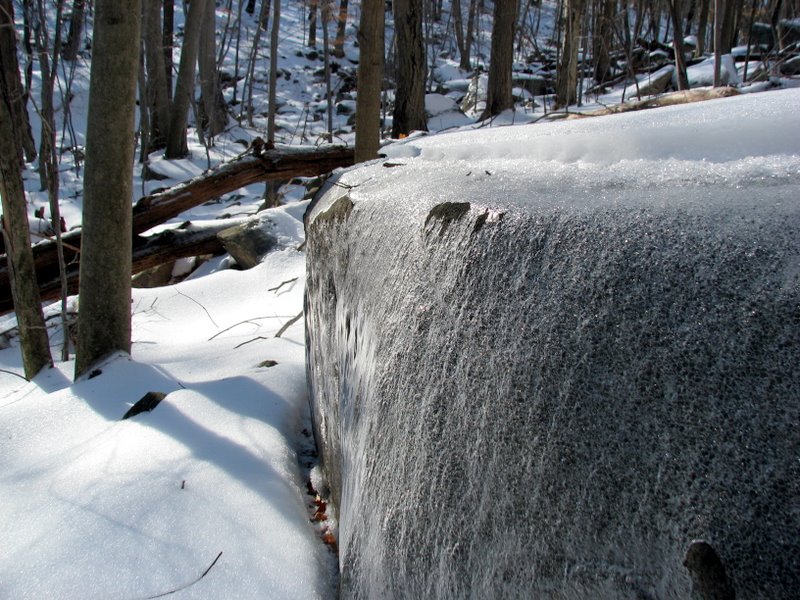
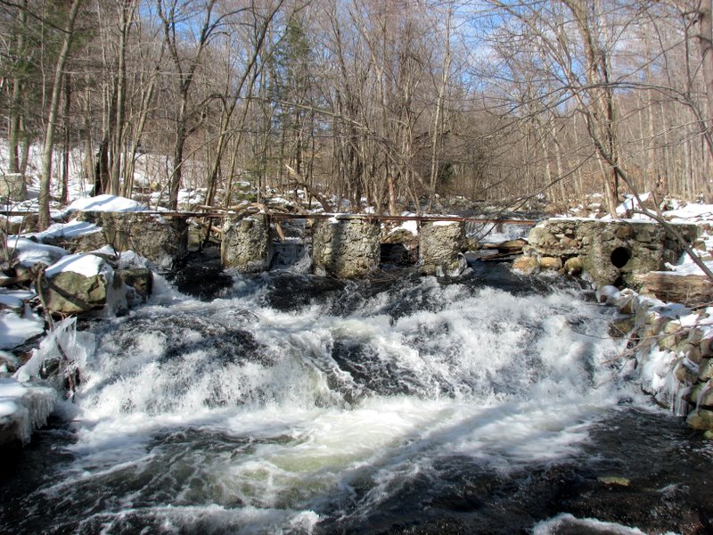
 Waterfall at small reservoir |
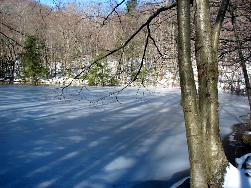 Frozen reservoir |
 Ice on the Townsend trail |
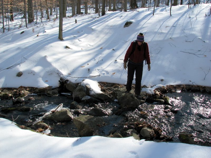
 Brook on Townsend |
 |
 |
 |
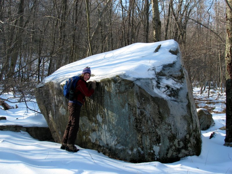
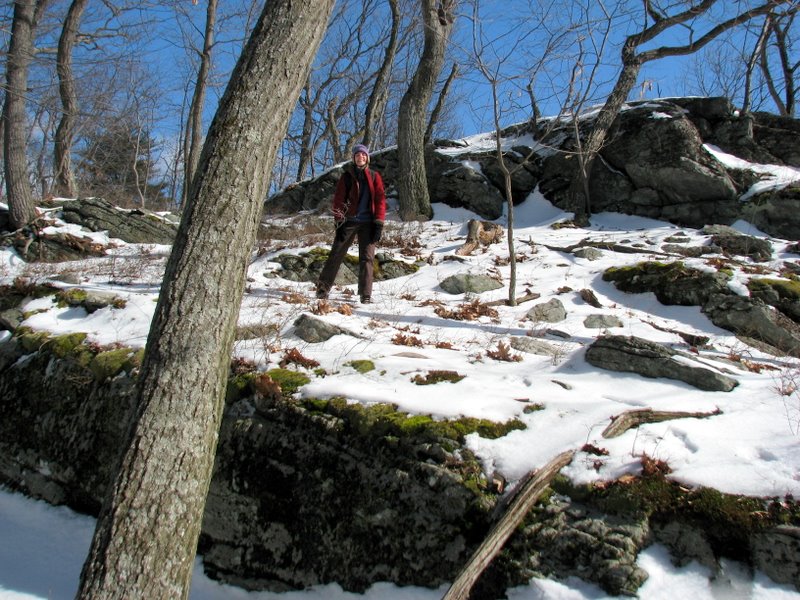
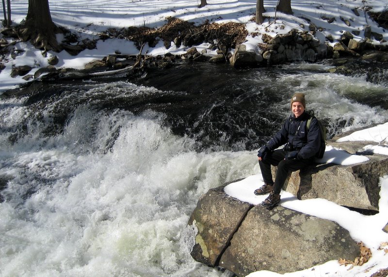
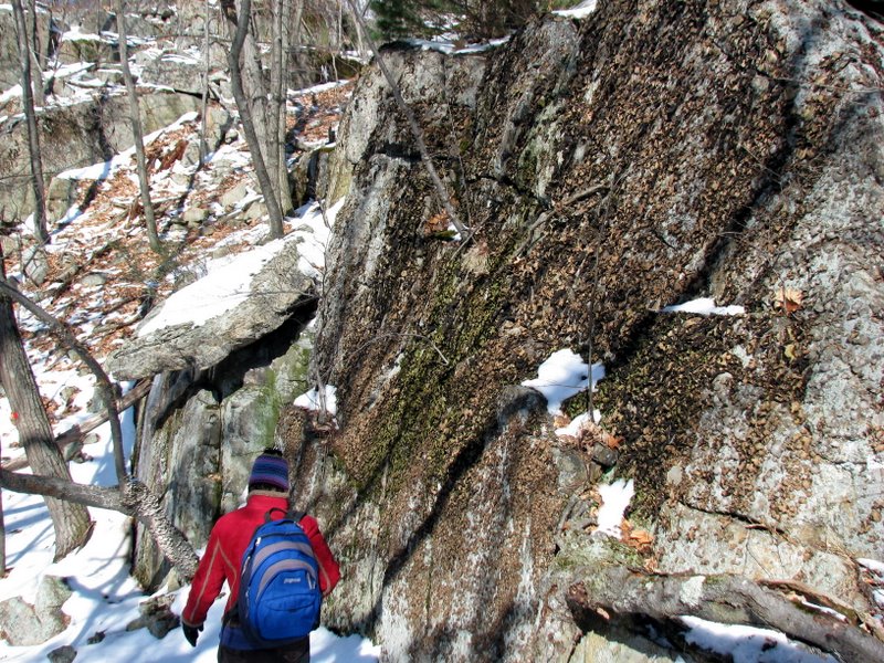
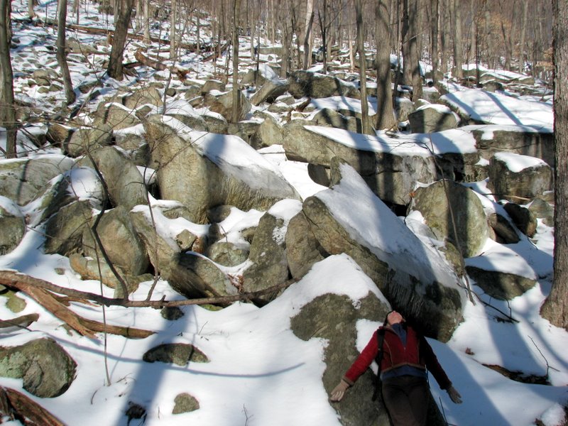 Breather on the boulders |
 |
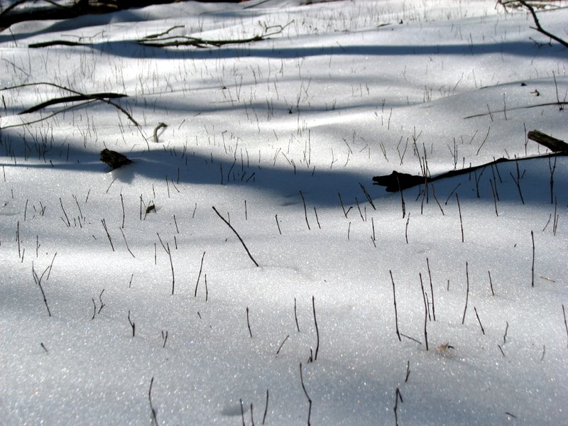 |
 Photographing grass! [photo by Laura] |
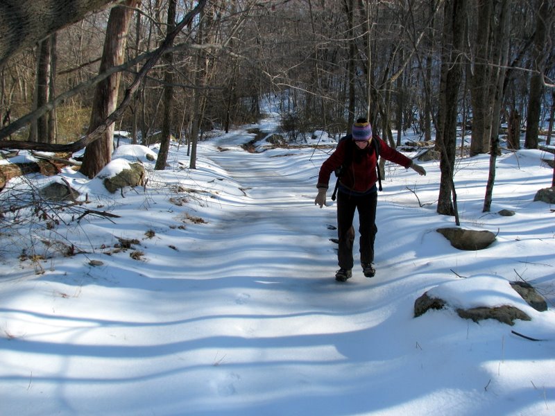
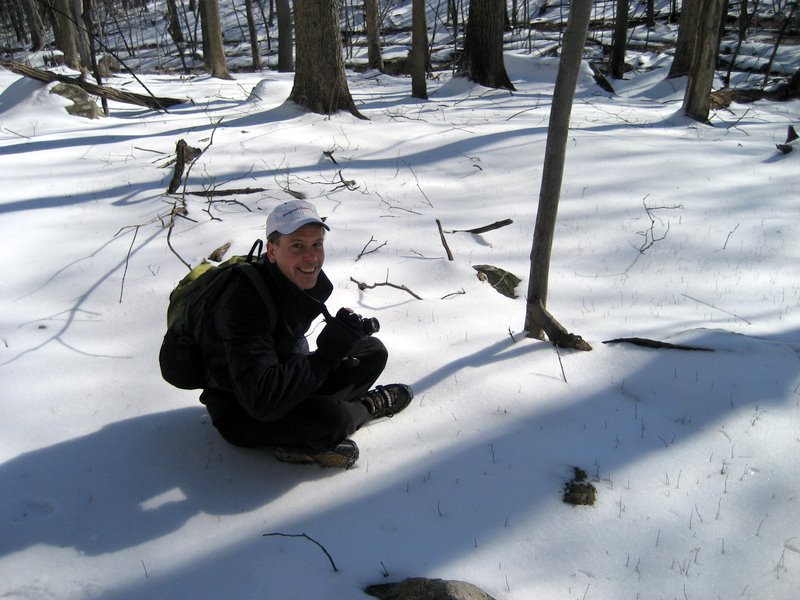
 Dan on Townsend trail [photo by Laura] |
 On the orange triangle trail |
 Ends on the dirt road to antenna |
 View looking south from antenna road |
 |
 Climbing antenna road |
 This road was pretty well plowed! |
 The prized antenna farm |
 Photographing icycles! |
 View of atenna from off Long Meadow trail |
 Bushwacking off Long Meadow trail |
 Long Meadow follows a gas line |
 Taking the next photo ... |
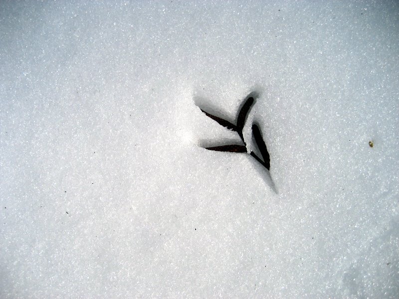 Pattern in snow [photo by Laura] |
 Yeah right! The ENTIRE road is closed! |
 |
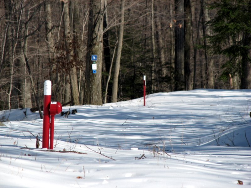
 Sign pollution |
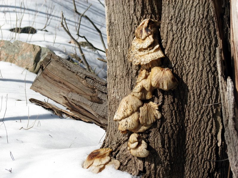
 Interesting mushrooms |
 Near northern end of Long Meadow |
 |
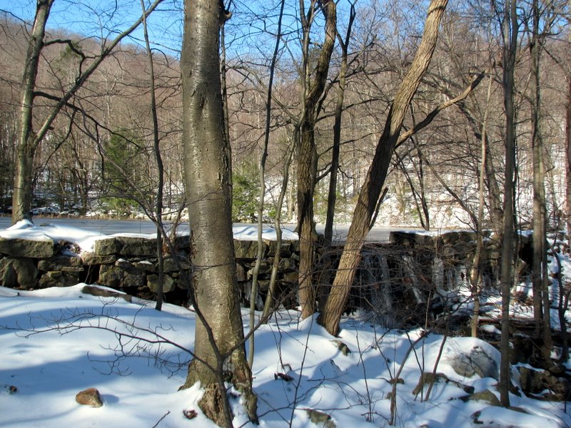
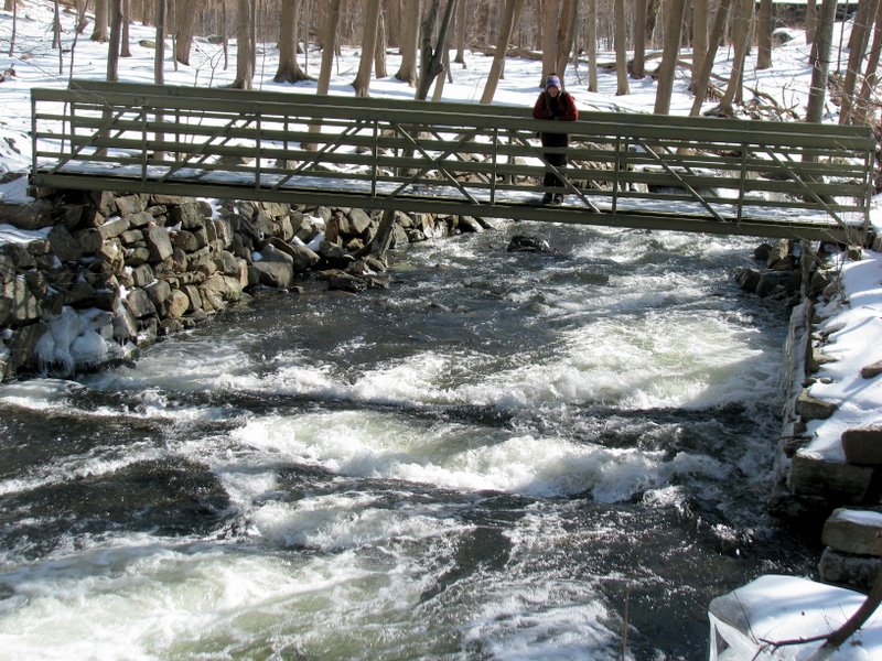 Bridge over Mombasha Creek ... |
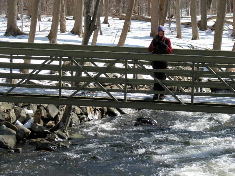 ... on Wildcat Mountain trail |
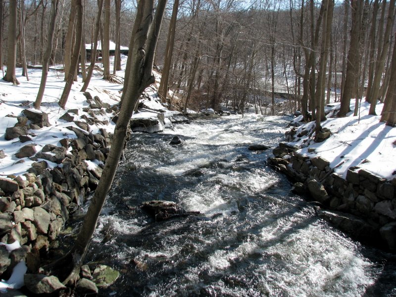
 A vigorous Mombasha Creek |
 Remains of old railway bridge |
 [Photo by Laura] |
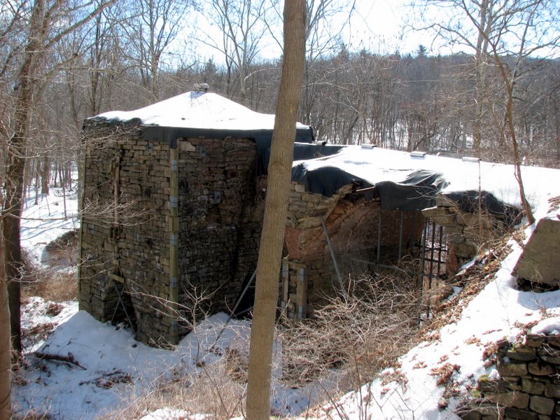 Southfields Furnace |
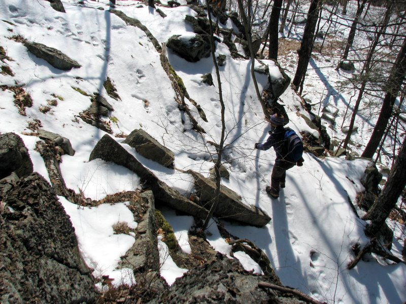
 Climbing Indian Hill |
 Slippery |
 Looking nearly straight down at Laura |
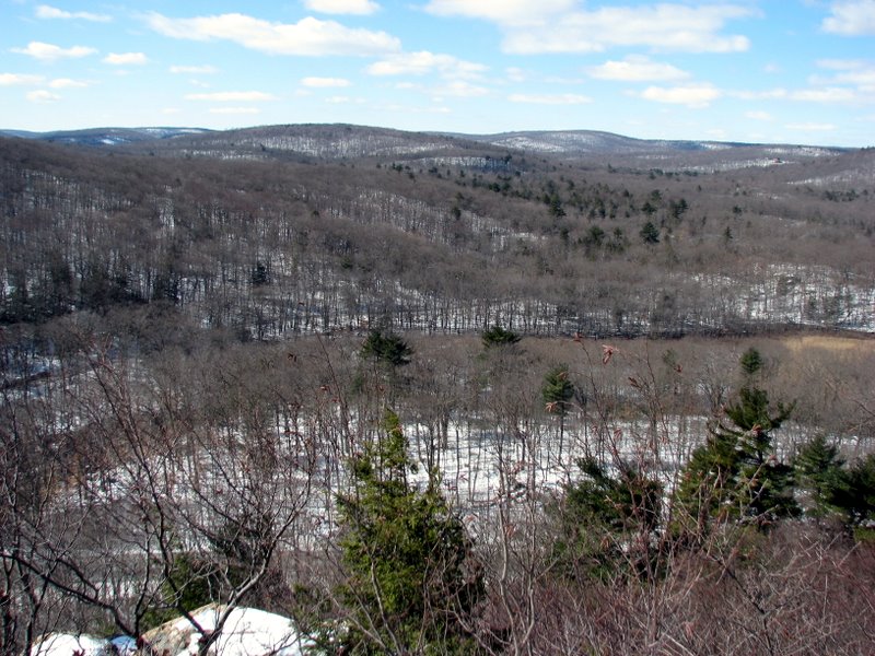
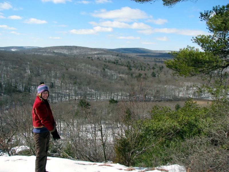
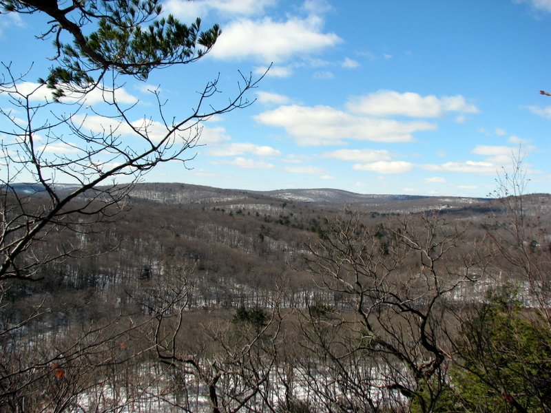 View SW from Indian Hill |
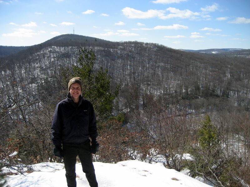
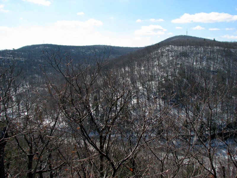 View south |
 View south (same antenna we visited) |
 House to the west |
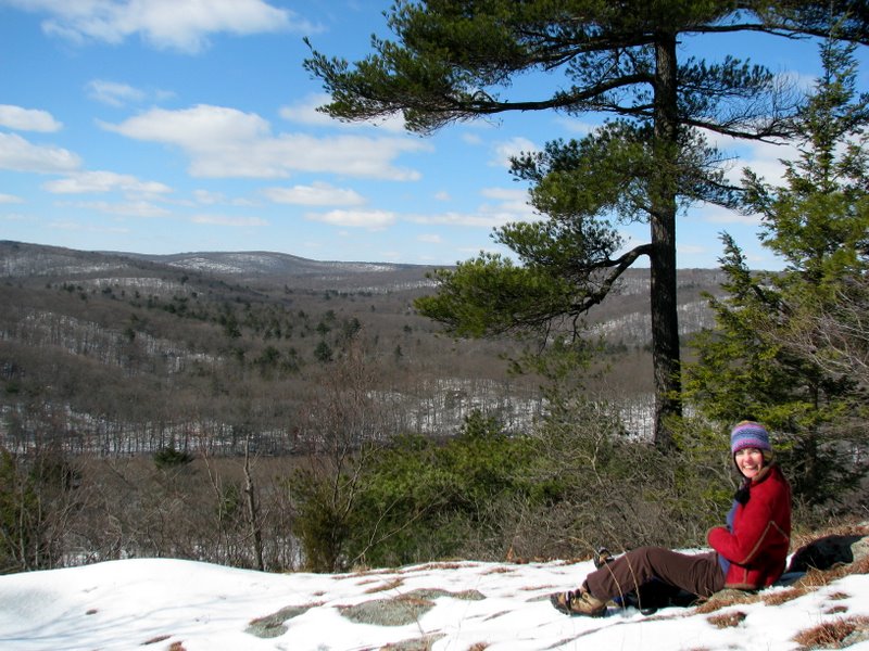
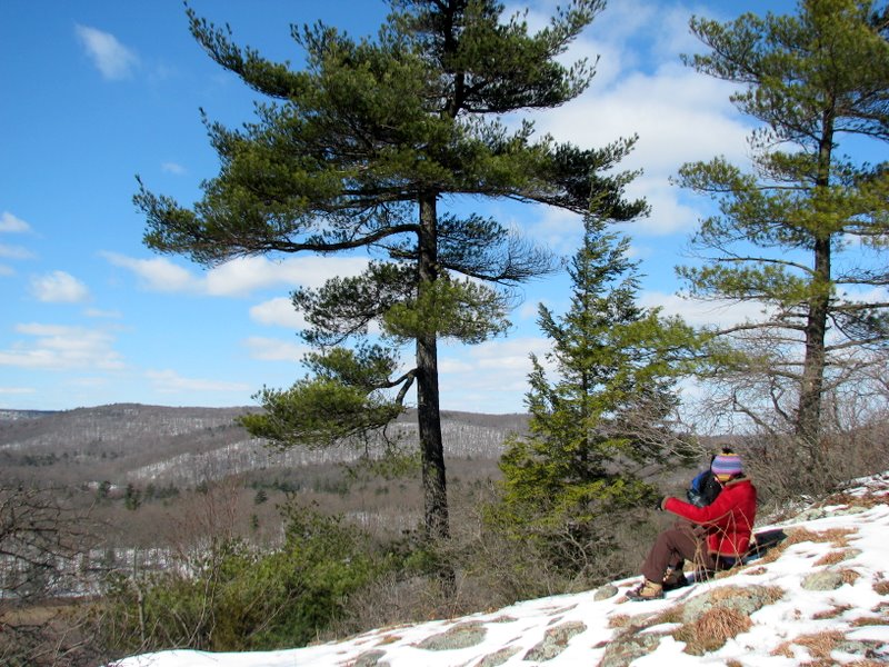 Our lunch spot! |
 |
 |
 [Photo by Laura] |
 |
 Descending on Furnace Loop trail |
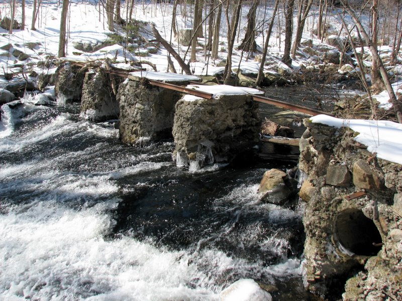 Remains of railway bridge |
 |
 |

|
|
Photographs and content copyright © Dan Balogh Web design by Dan Balogh |