 |
|
Today's hike was one of the most beautiful we have done in New Jersey in quite some time!
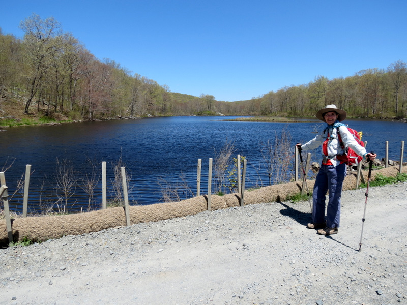
Last week we decided to hike an area in the northern part of Mahlon Dickerson highlighted in the book 50 Hikes in New Jersey. We hadn't been to that area much, so we wanted to explore it a bit. It was a good hike, nowhere near spectacular, traversing some nice remote areas. But during that hike, when I was using the new official park map, my eye kept wandering to the area south. So while hiking in the northern part, within minutes I had put together a future hike in the southern part which visited two lakes, and which was 100% comprised of trails and woods roads we had never used before. So we headed back today. We parked at the Saffin Rock-Rill Area and headed NE on Yellow, winding north, then south repeatedly until we reached the white-blazed Beaver Brook Trail which we took SE all the way to the incredbily beautiful and remote Lost Lake. (We visited this lake way back in 2004 when we approached it from the south but didn't make it to the western bank at that time.) The path high above the lake on the western bank is wonderful. Soon it dips to the lake itself and passes a huge beaver dam. The lake includes at least one medium-sized and one huge beaver lodge (which we came closer to later during lunch). Our plan was to continue south on White, passing through the powerline cut and then head west (then north) along a woods road. But when we got to the powerline cut we encountered this. We couldn't find White south of the cut. So we headed west in the cut for a few minutes and then took the woods road north from there. This woods road climbed and then reached the shore of Lost Lake where we enjoyed a magnificent view of the large beaver lodge during lunch. We felt like we were having lunch inside a postcard! After lunch we continued west on the woods road taking it all the way back to Yellow (intersecting with Yellow earlier along the way). From this point we skirted the eastern shore of the first lake once again and then headed back to the car via the dusty gravel service road. Total distance hiked today was 7 miles in just under 4 hours. For those interested in this spectacular hike, I highlighted the track on this map.
|
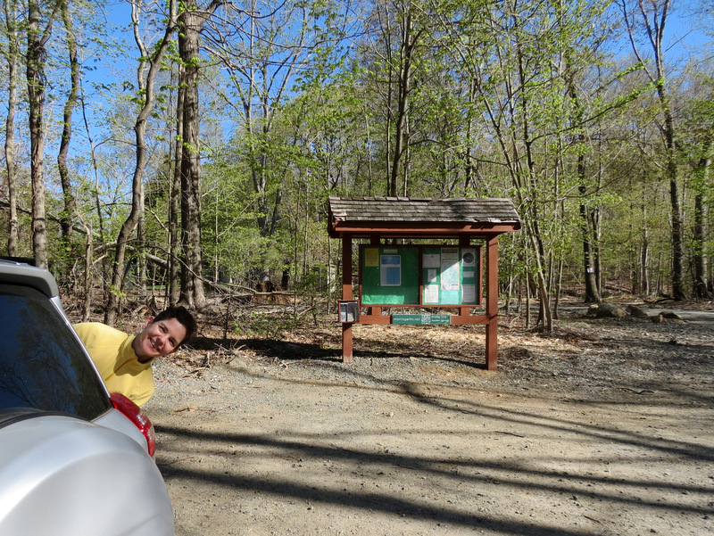 Saffin Rock-Rill tomfoolery |
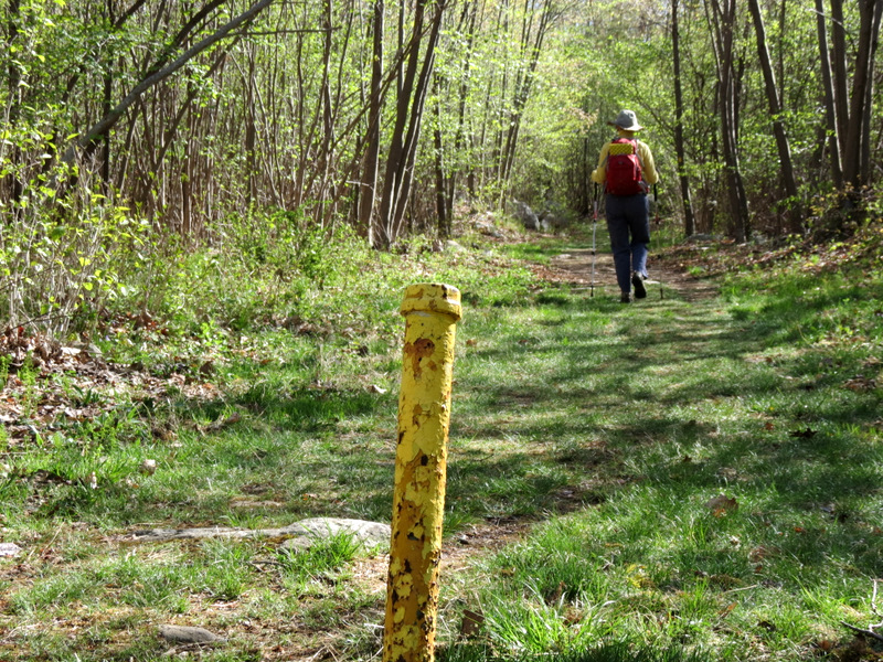 Yellow trail head |
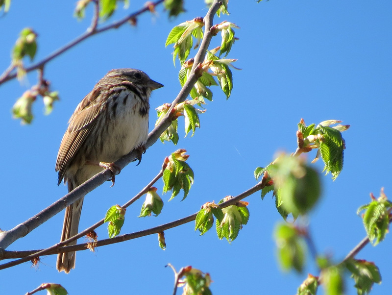
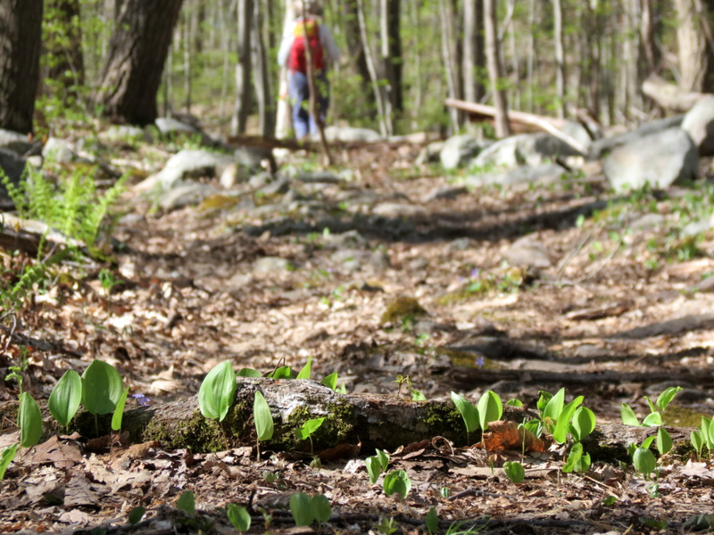
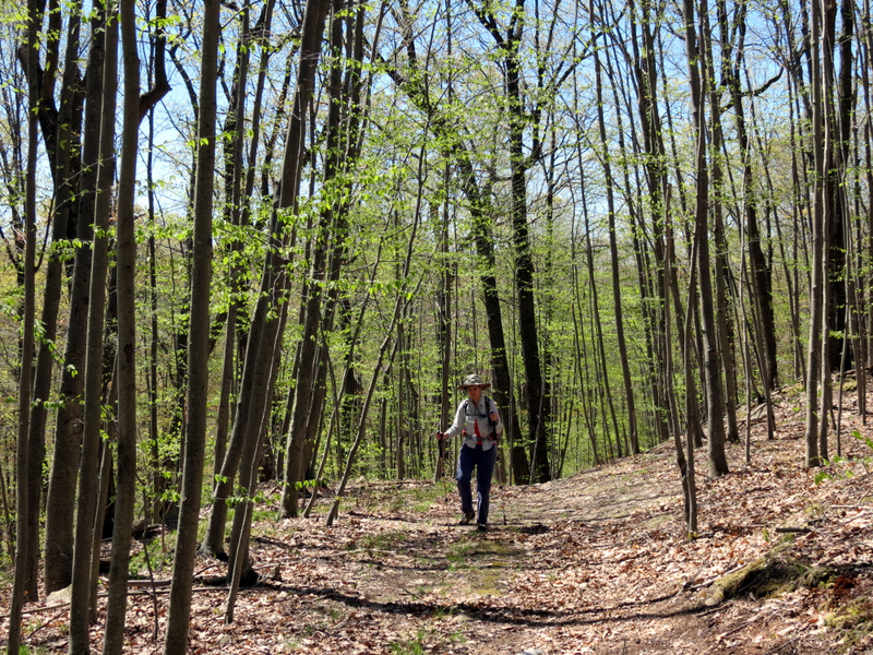
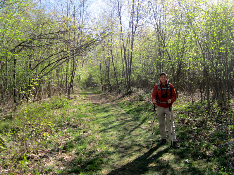 So green! [photo by Laura] |
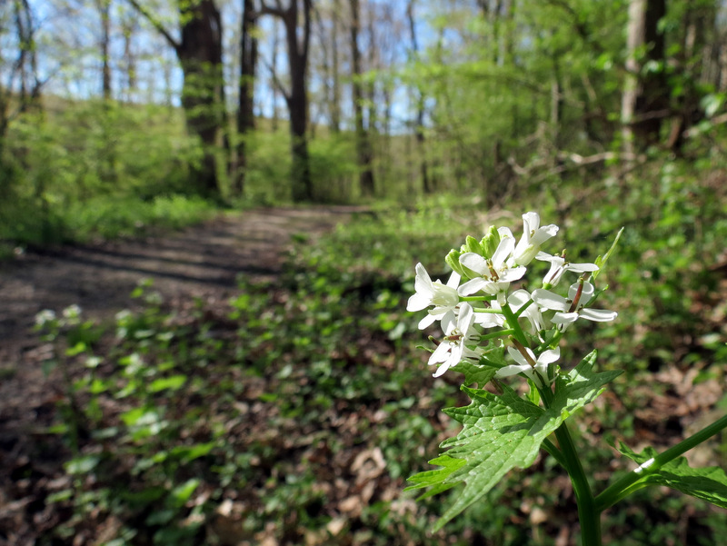 Trail wild flowers |
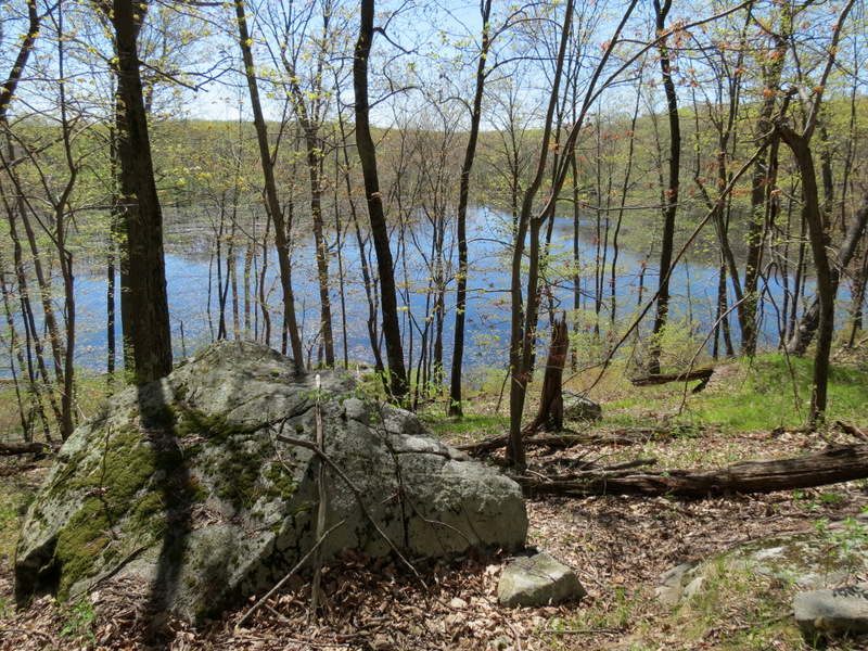
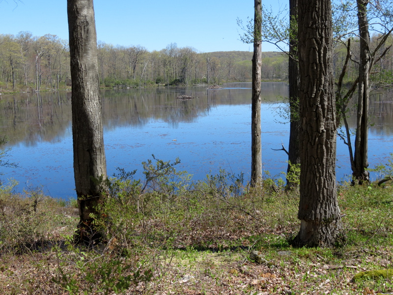
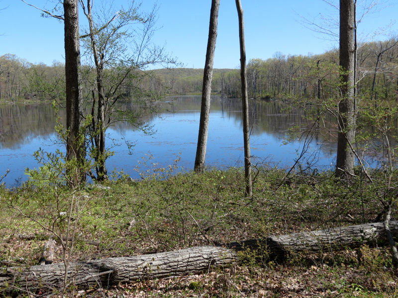
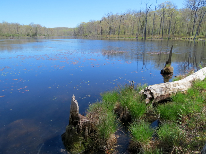
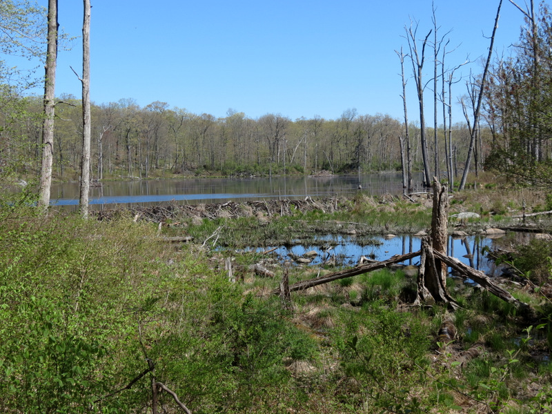
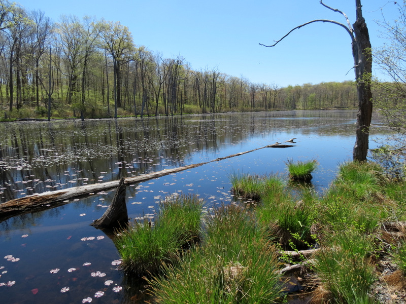
 Views of ... |
 ... unnamed lake ... |
 ... from ... |
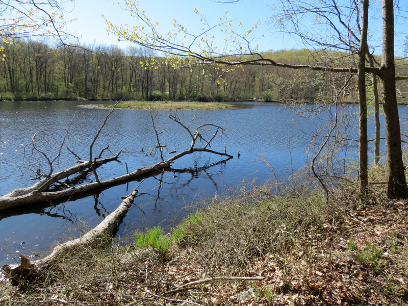 ... western bank |
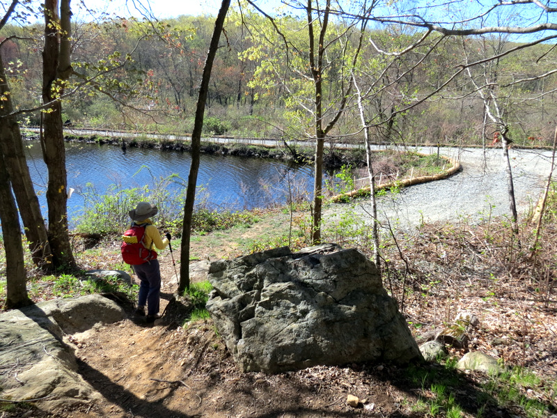 Yellow comingles ... |
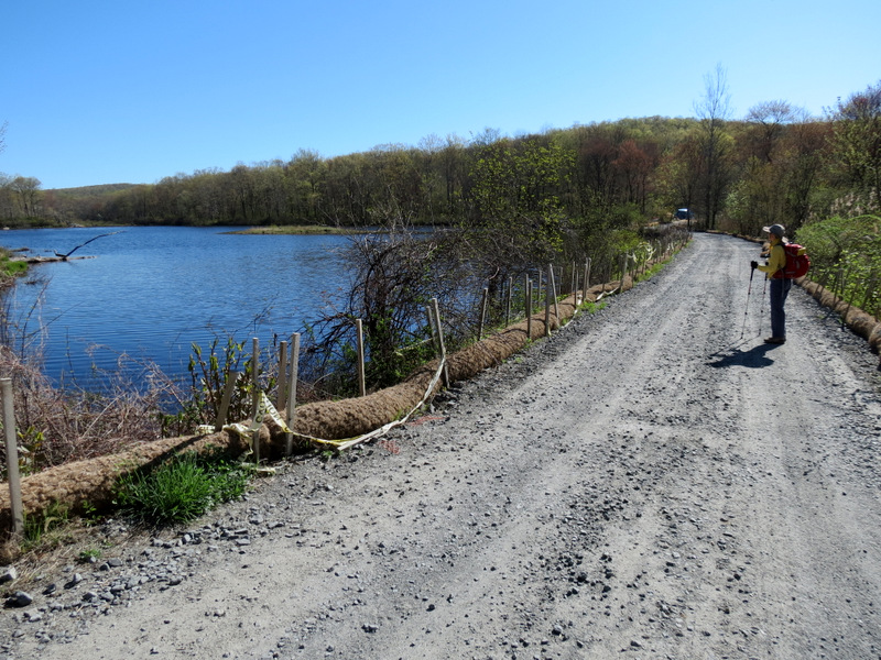 ... with service road |
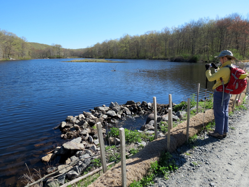 Lake from dam |
 |
 Huh? |
 |
 Great Blue Heron hiding |
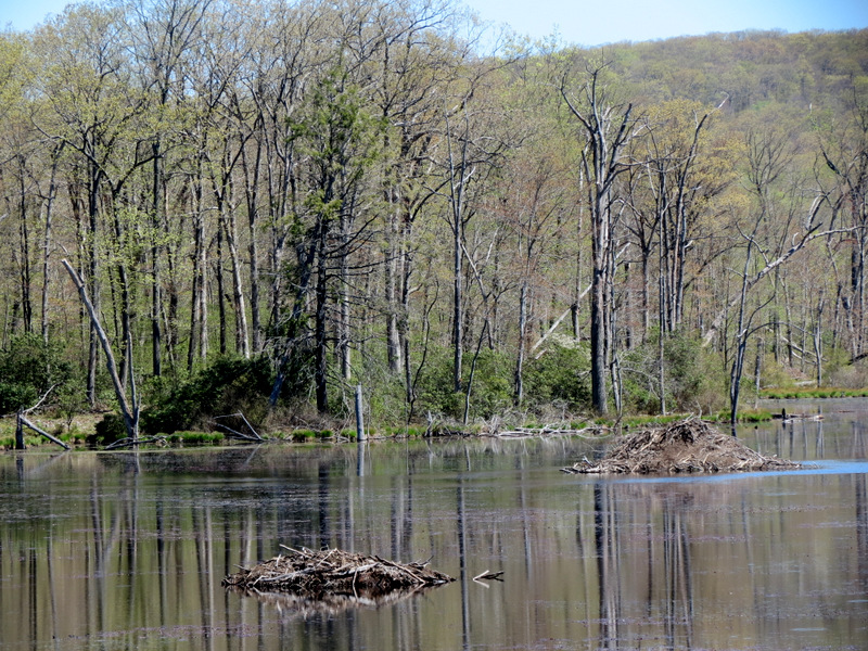
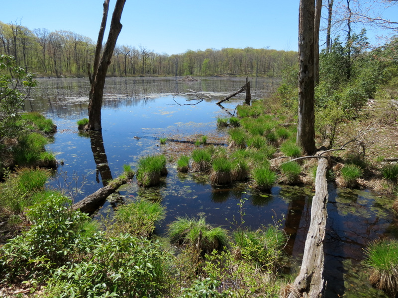
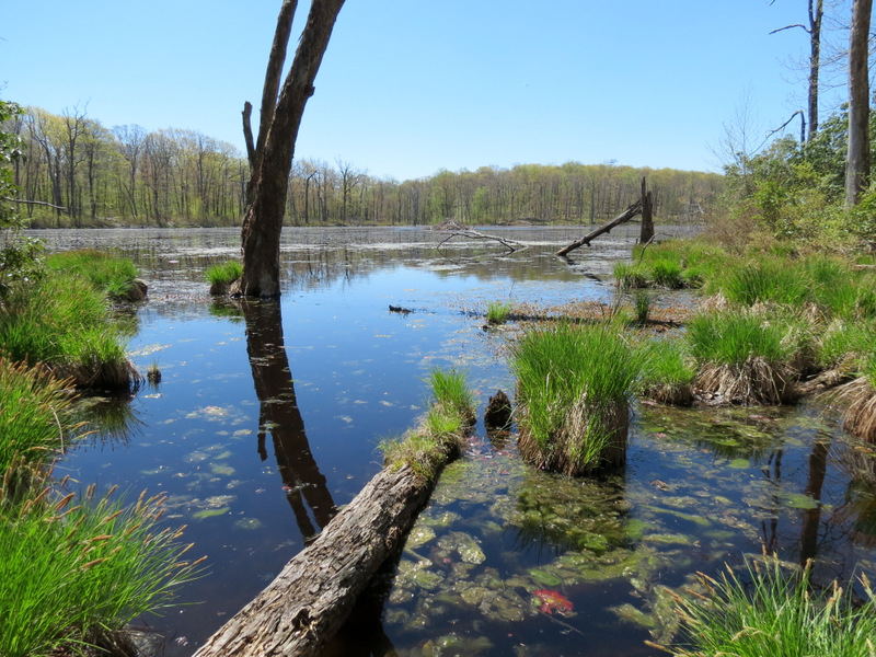
 Swamp north of lake |
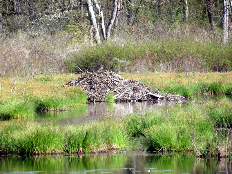 Beaver lodge in swamp |
 |
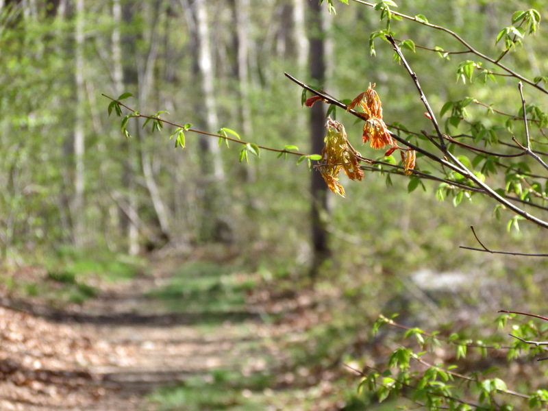
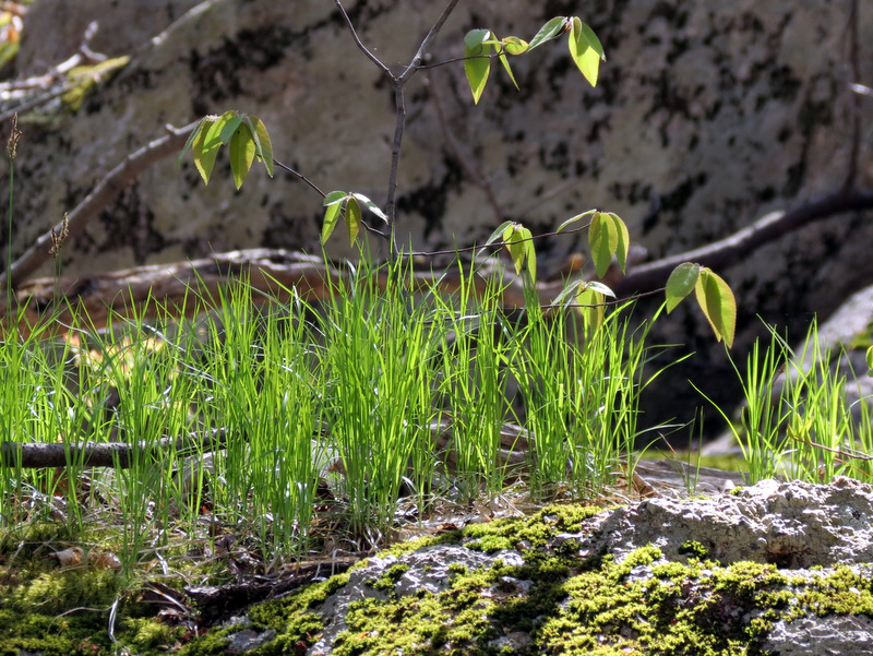
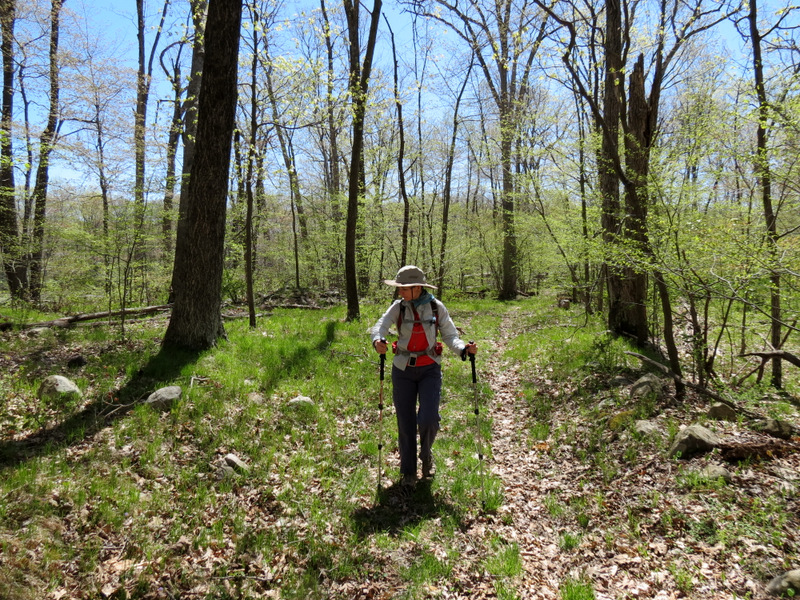
 Green all over! |
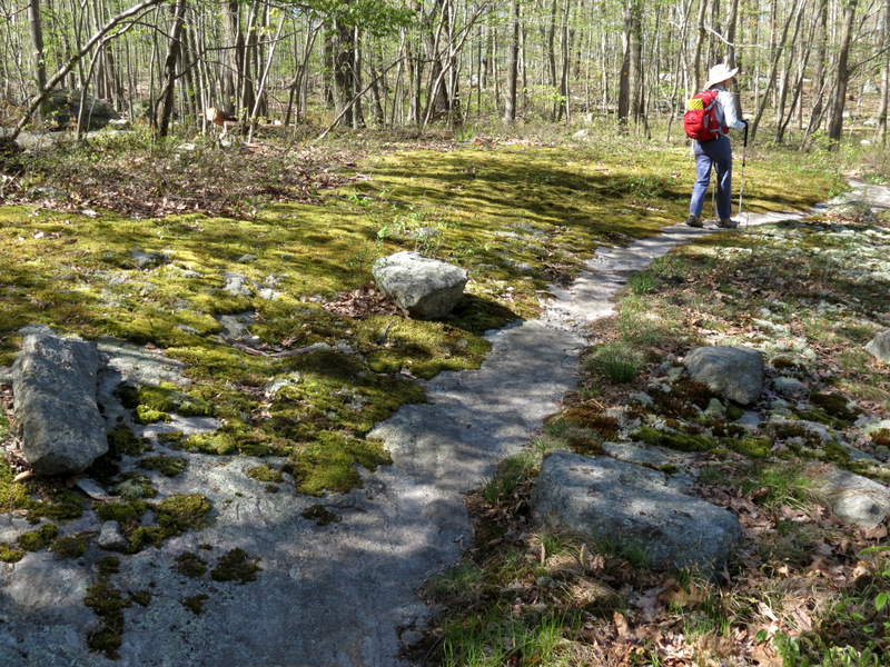 Moss-lined granite path |
 |
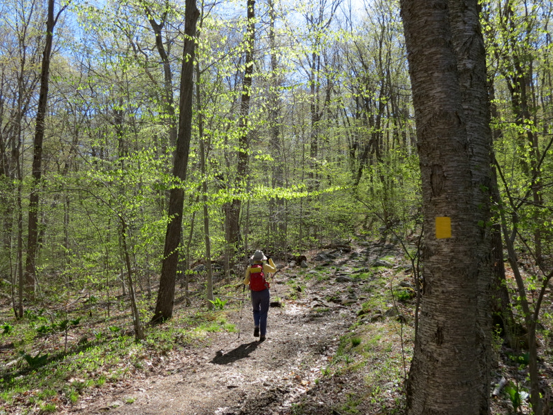
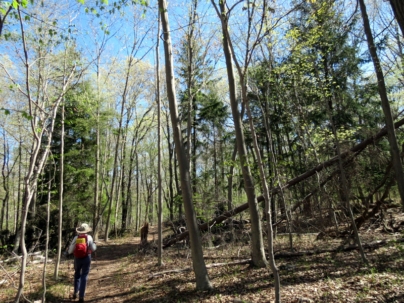
 Winding Yellow trail |
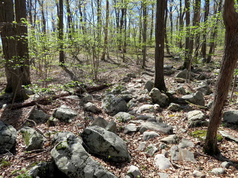
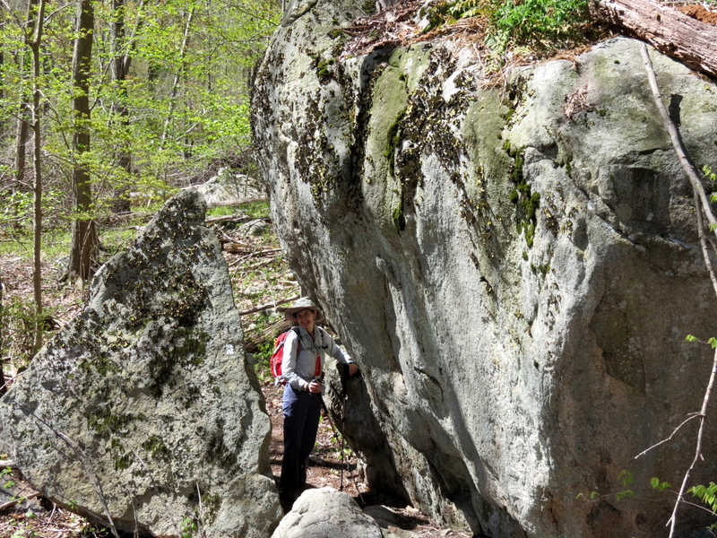
 Glacial errata at ... |
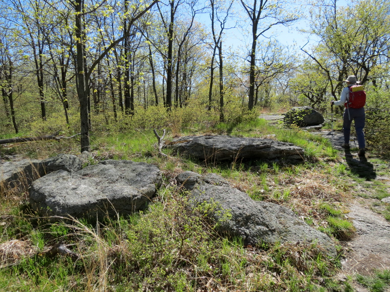 ... southern tip of Yellow |
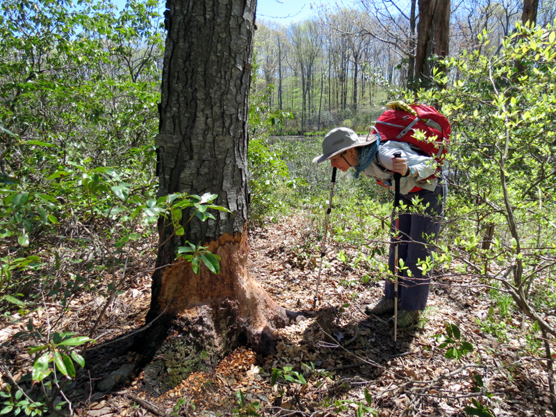
 Searching for a view [Photo by Laura] |
 Sweating sap |
 Lone tuft of evergreens |
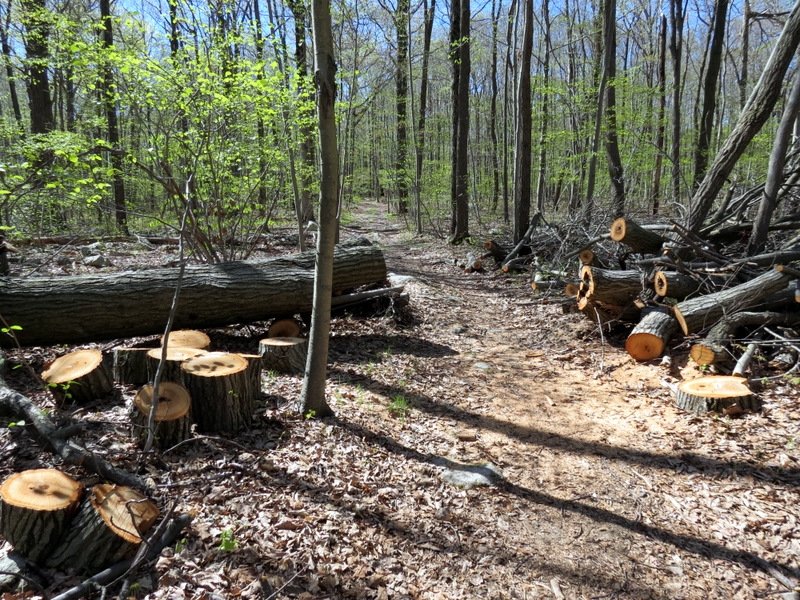 Cleared Sandy damage |
 Live information kiosk! |
 [Photo by Laura] |
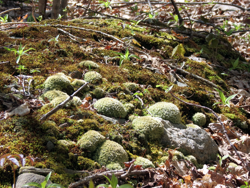 Moss balls |
 Rocky White trail |
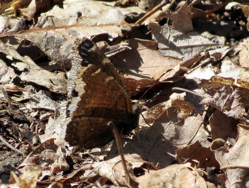 Spring moth |
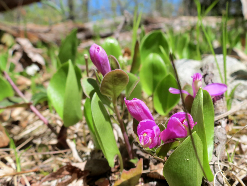
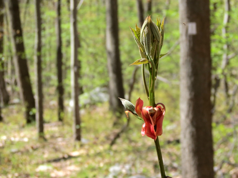 Interesting blooming ... |
 ... wildflower |
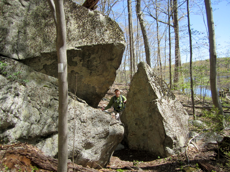
 Like father, like son? |
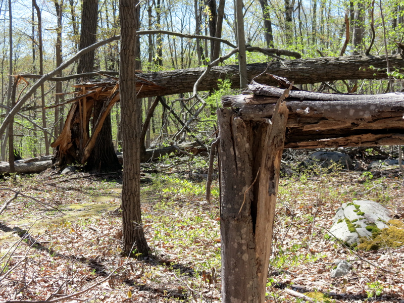
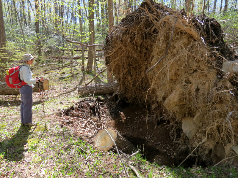 Huge uprooted tree |
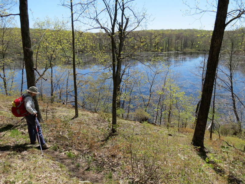
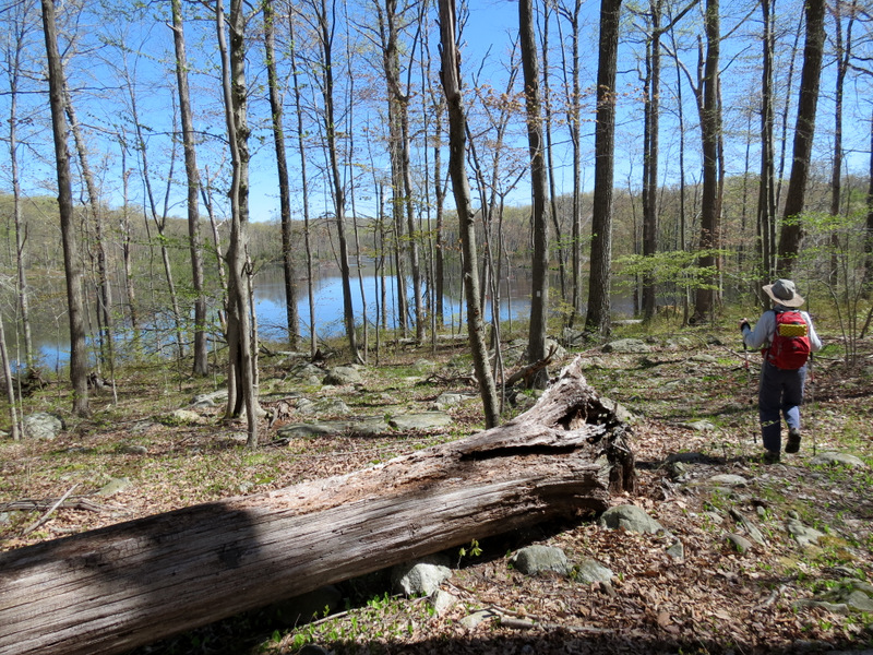
 First views ... |
 ... of Lost Lake ... |
 ... from high above |
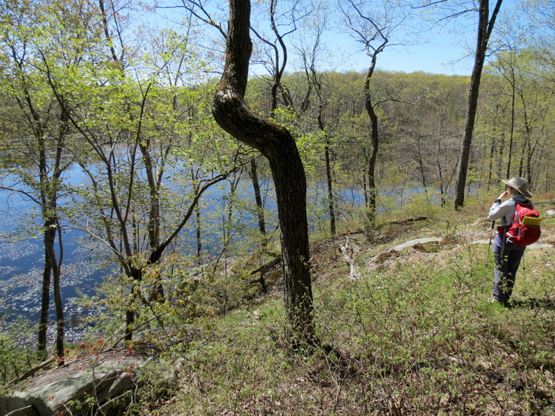
 Gorgeous views ... |
 ... from western bank ... |
 ... cliffs |
 Blooming leaves and beaver lodge |
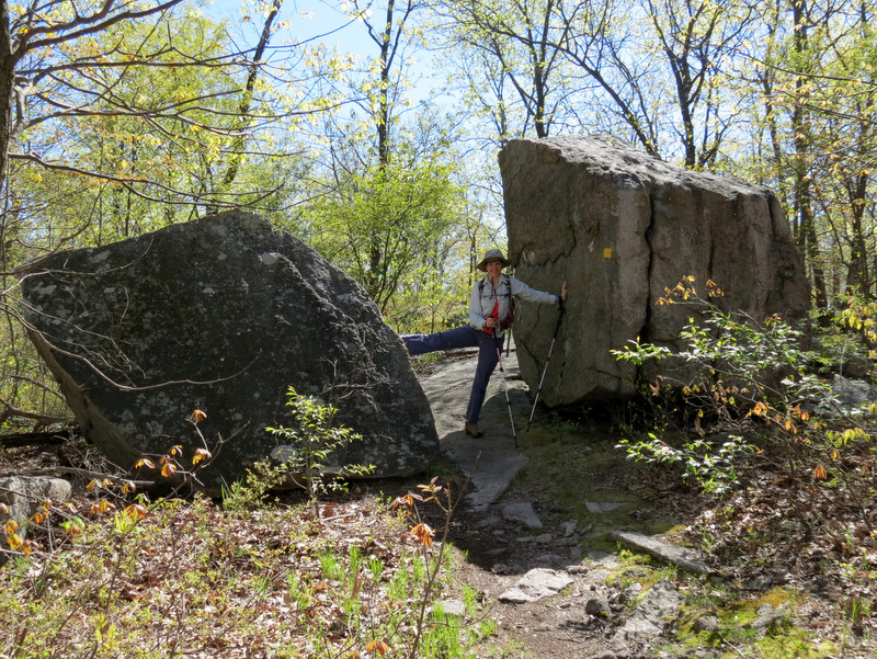
 A mini ... |
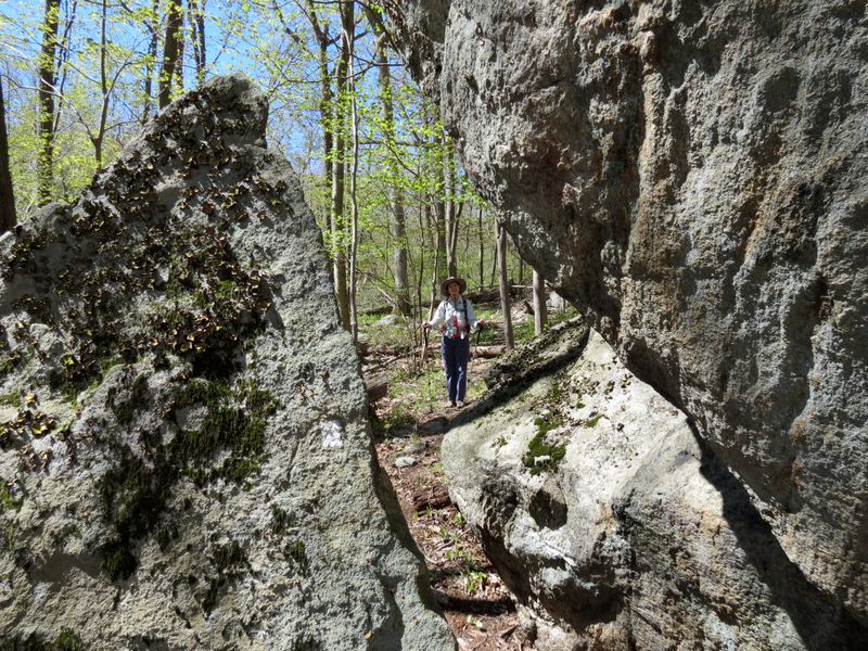 ... lemon squeezer! |
 [Photo by Laura] |
 |
 At lake level |
 Beaver lodges ... |
 ... in Lost Lake |
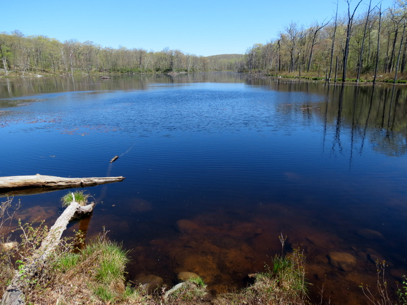
 View from SW tip |
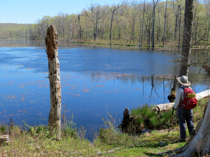 Lost Lake ... |
 ... from the tranquil ... |
 ... SW tip |
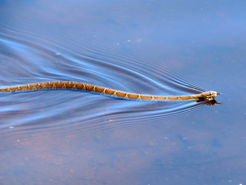 Northern Water Snake! |
 |
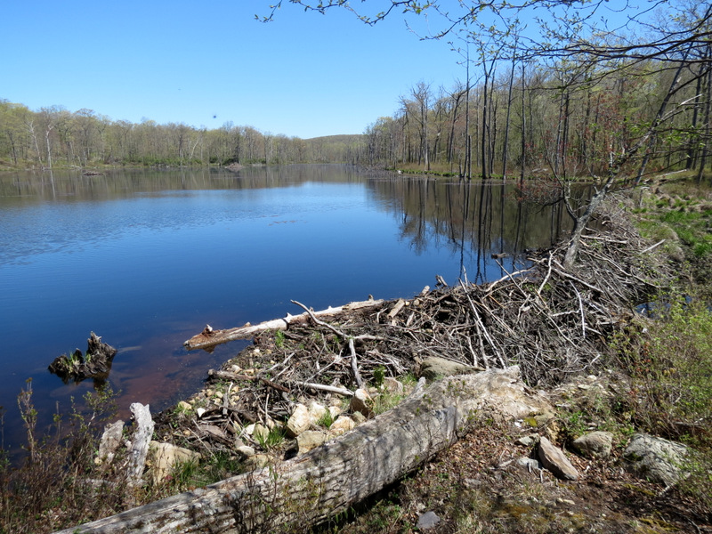 Beaver dam |
 Beaver dam |
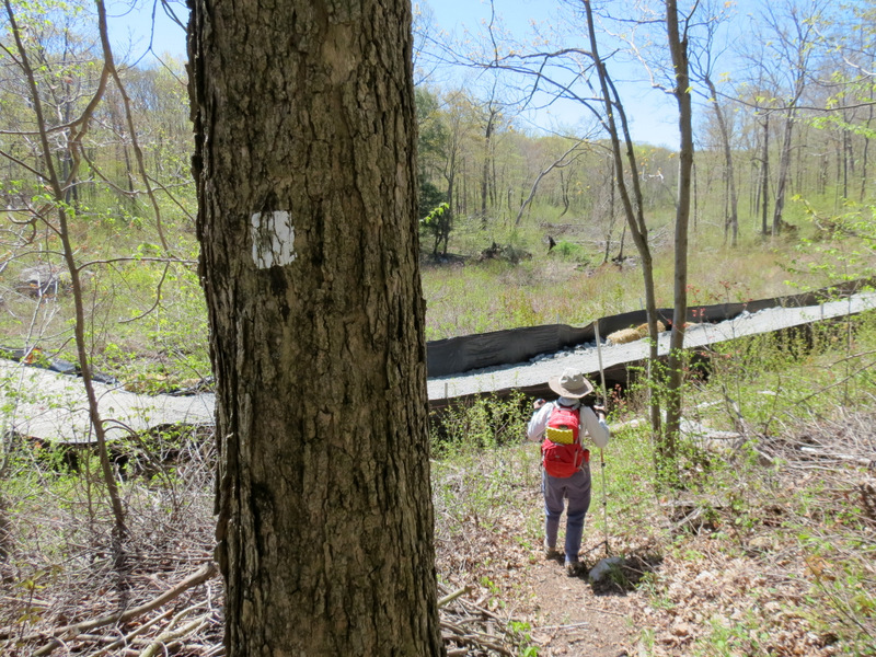 Powerline cut |
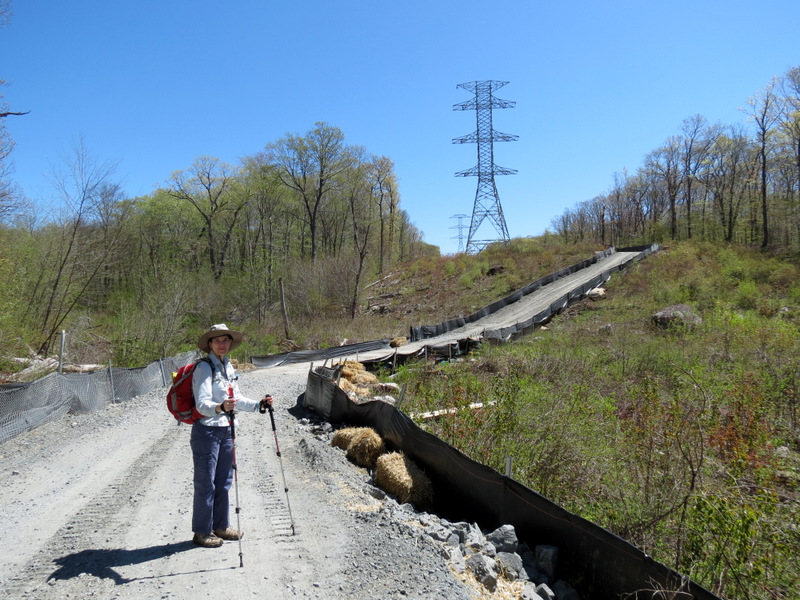 Construction in powerline cut |
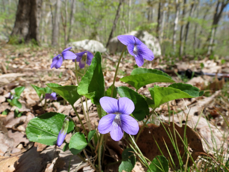 Gorgeous wild flowers |
 Climbing on woods road |
 Back to Lost Lake on woods road |
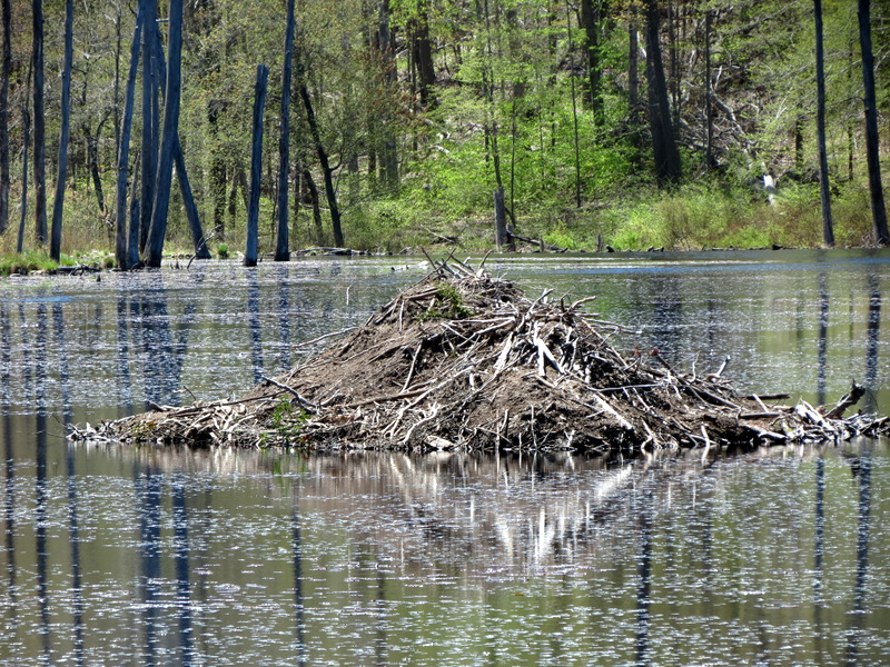 Zoom to huge beaver lodge |
 Our amazing ... |
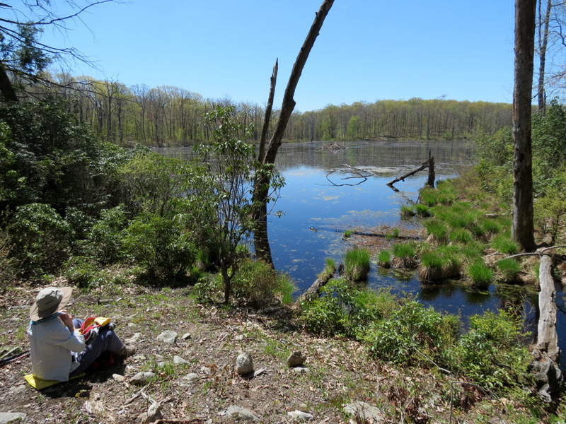 ... lunch spot |
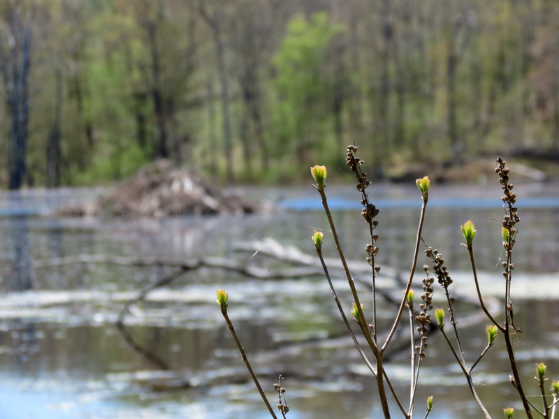 Blooms over lake |
 Postcard view for lunch |
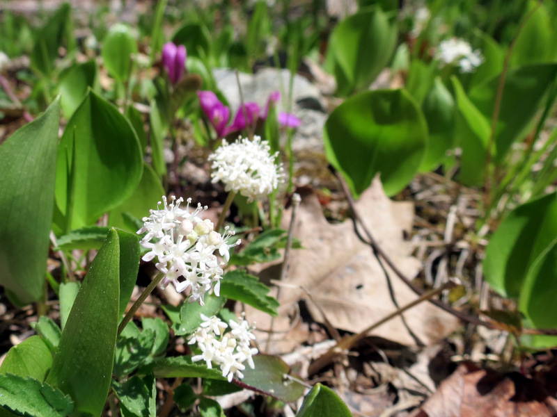 Wild flowers ... |
 ... on lake bank |
 Lost Lake at northern tip |
 Beaver damage |
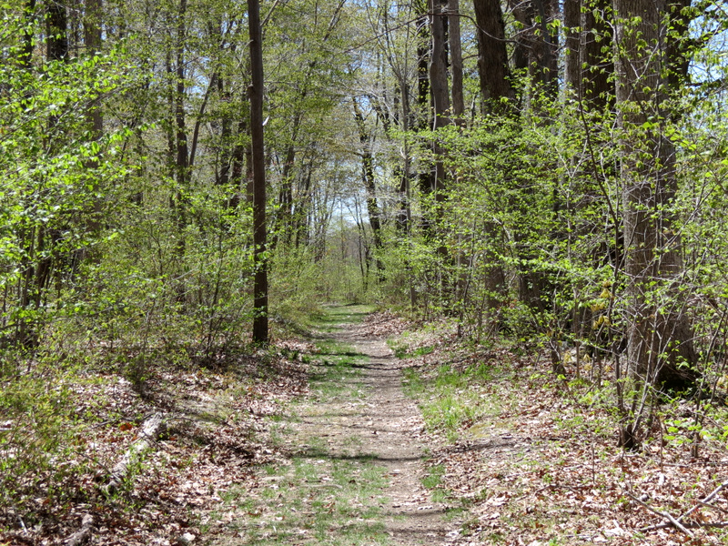
 Gorgeous woods road |
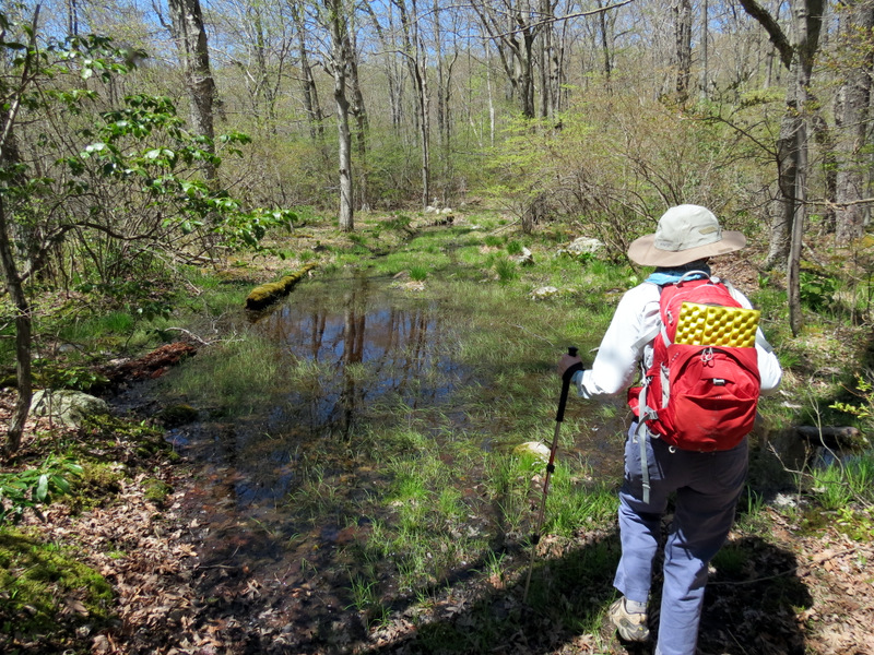 Very wet spot |
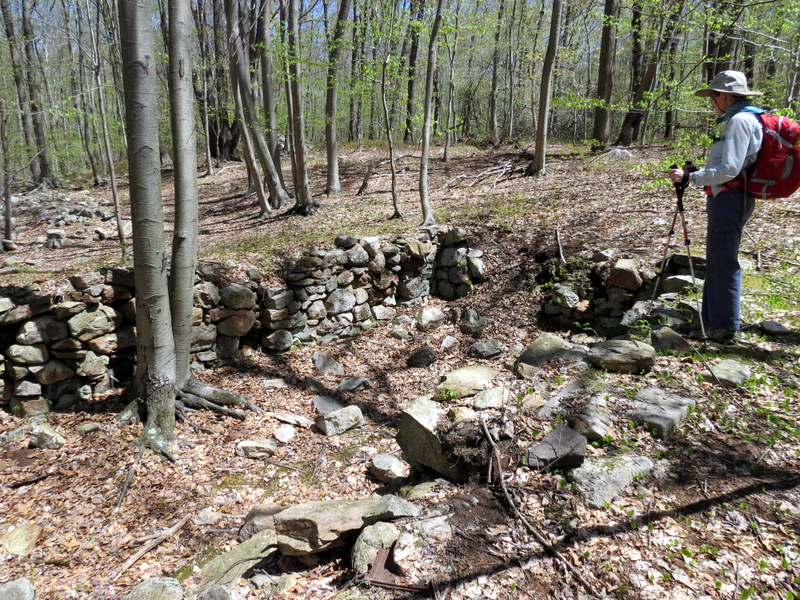 Foundation remains |
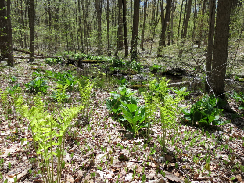 Greens in swamp |
 Moth hitching a ride |
 Back on Yellow |
 Devil bird |
 Back to the first lake |
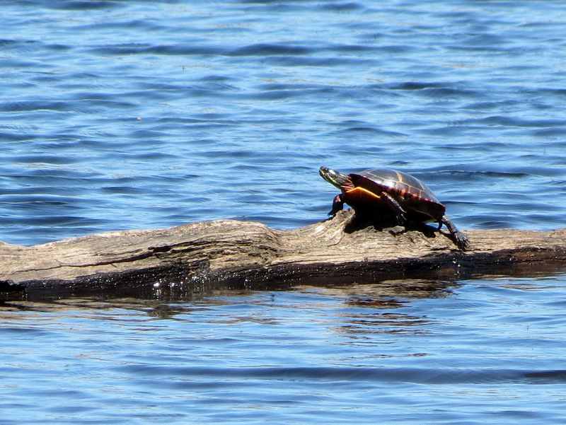
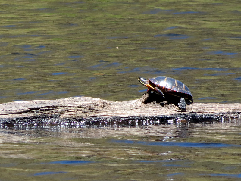 Turtle sunning himself! |
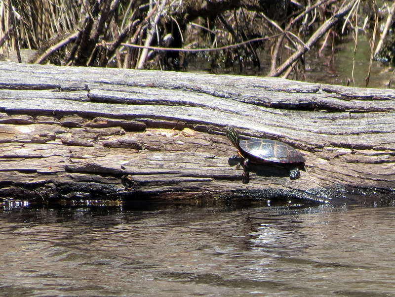 And another! |
 |

|
|
Photographs and content copyright © Dan Balogh Web design by Dan Balogh |