 |
|
This is a hike of my own design using mostly unblazed woods roads, overgrown in some patches. It traverses the entire perimeter of the southwestern section of
Green Pond Mountain, without climbing it, the second half along the western bank of Lake Stahahe.
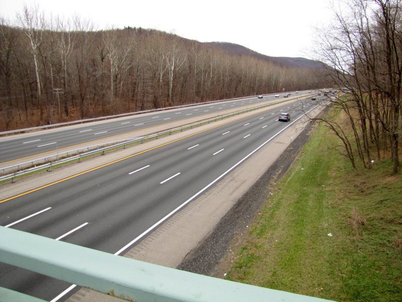
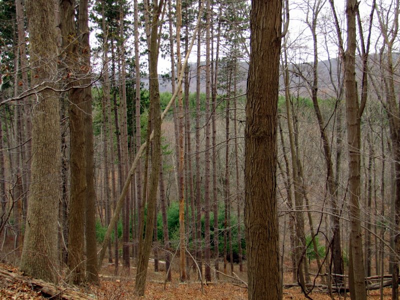
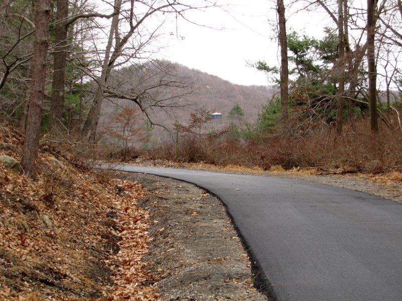
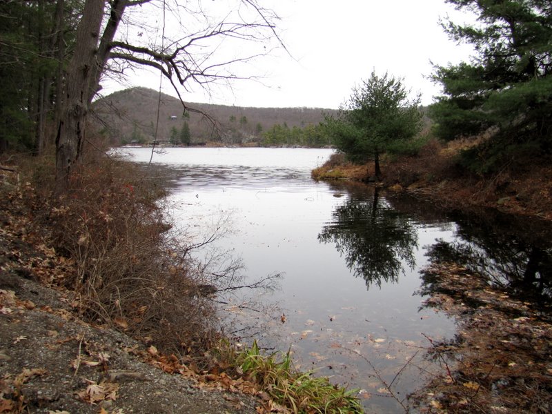
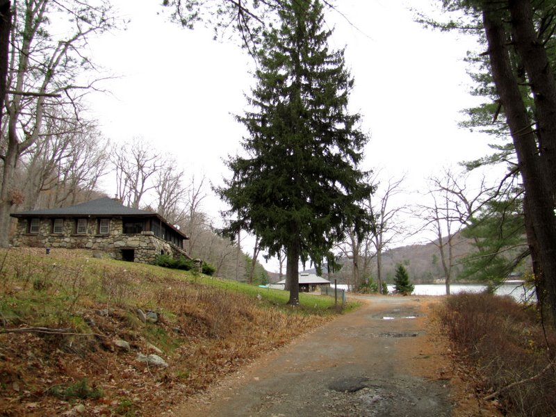
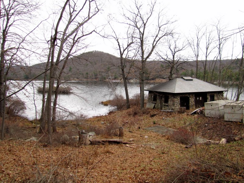
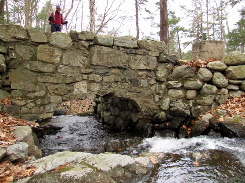
We parked in the Elk Pen off of Arden Valley Road and headed south on the Arden-Surebridge trail and then south on the Stahahe Brook trail. After crossing over Stahahe Brook on a sturdy marble arch bridge we made a right at the fork and headed on the woods road south. This is the path of the old Arden Road dating back to 1894, commemorated in a stone memorial a bit before the Smithfield Pedestrian Bridge. This part of the woods road runs parallel to the New York Thruway, though above it. Still, the sound of the cars makes this one of the noisiest stretches of trail in Harriman. The highway noise subsides when the woods road veers left away from the Thruway and begins to climb. The noise disappears completely when the woods road reaches its southern-most point at Route 106. Continuing on the road around the southern tip of Green Pond Mountain we got our first views of Lake Stahahe from its western bank, passing several stone park buildings on the way. We headed north along the bank, passing interesting ruins while glimpsing lots of park buildings on the eastern bank. Eventually the Nurian trail joined from the left. This trail we took north to the Stahahe Brook trail, which led us back to the stone bridge over Stahahe Brook (where we crossed earlier). Back on the stick of the lollipop we continued north back to the Elk Pen. Total distance hiked today was 5.4 miles in less than 3 hours, but without the additional exploring that we did, it would have been just over 5 miles, and mostly level.
|
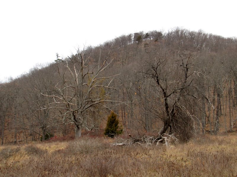
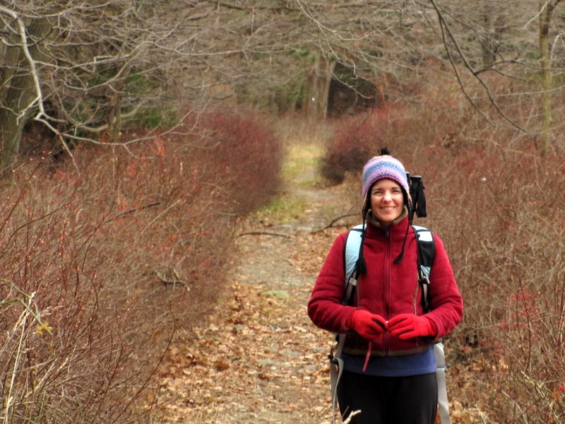
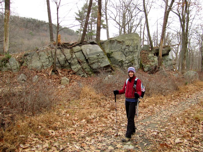
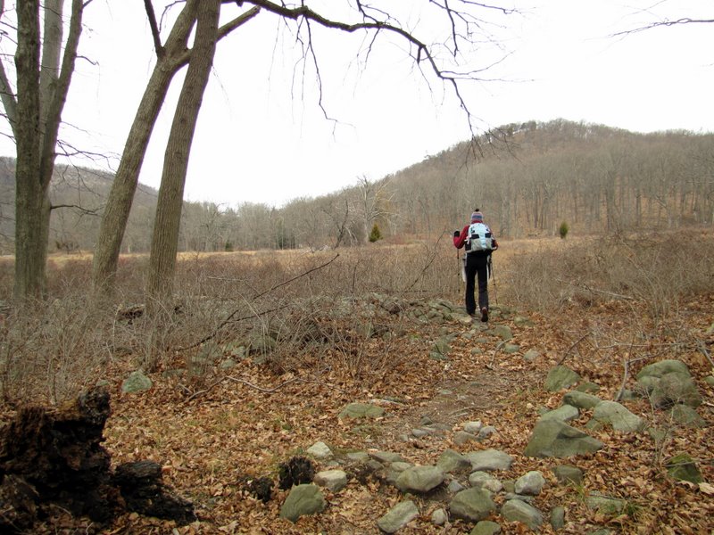
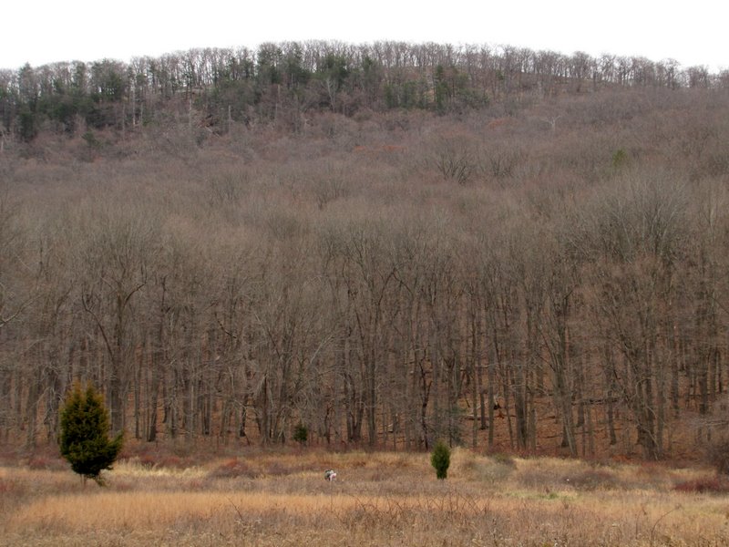 Hikers at foot of Green Pond Mountain |
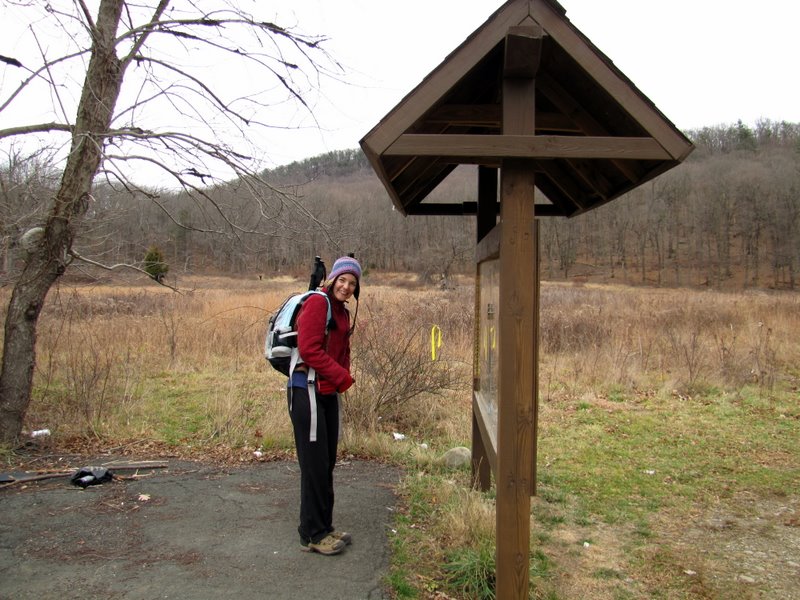 Elk Pen kiosk |
 Heading east to trail |
 Agony Grind west |
 |
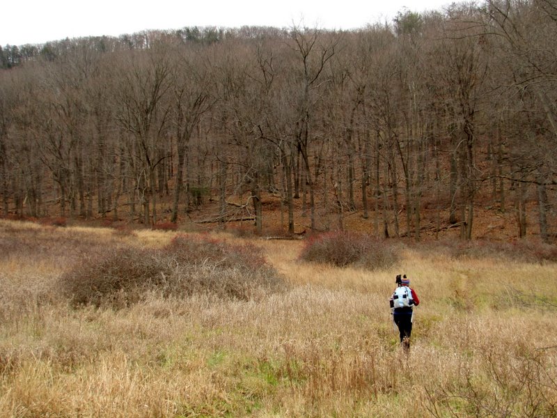
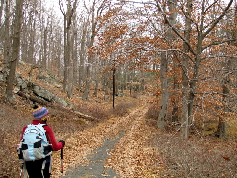
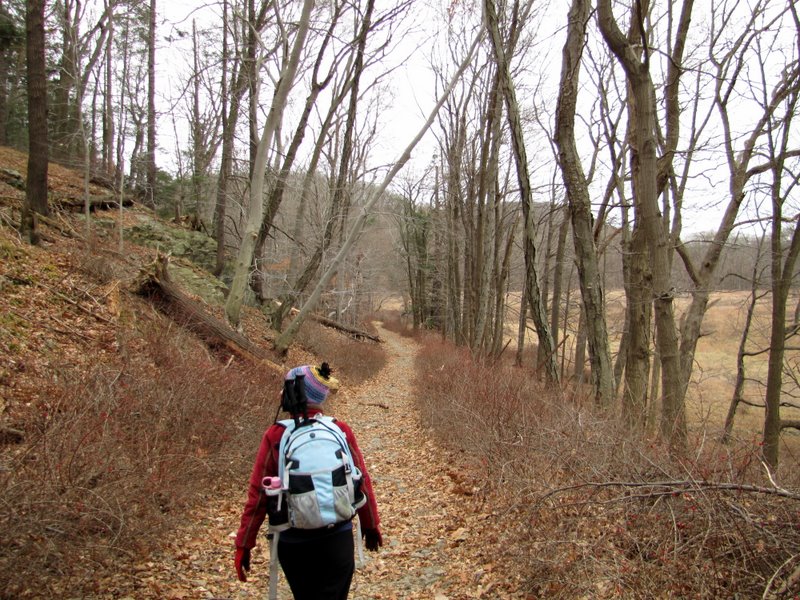 Heading south on A-S |
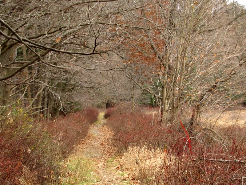 Beautiful path |
 |
 |
 A-S & Stahahe Brook intersection |
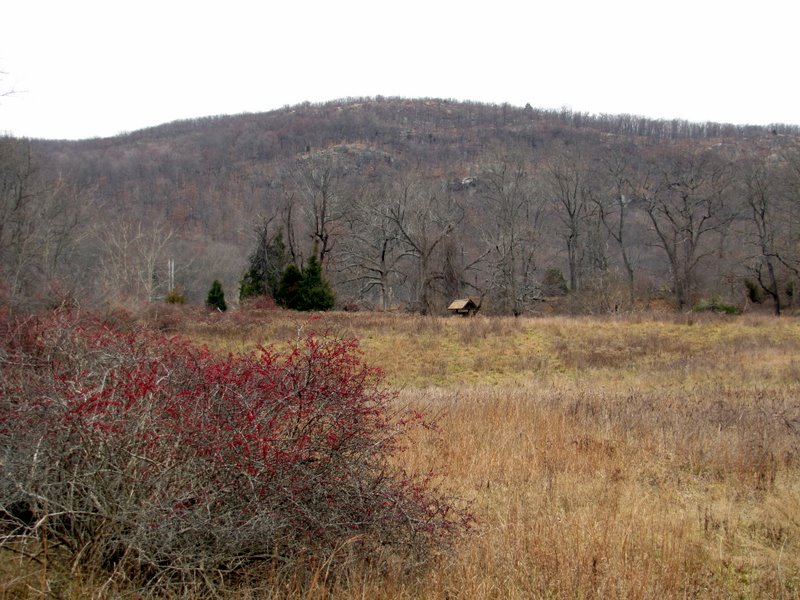
 View of Agony Grind |
 |
 Sterling Forest west |
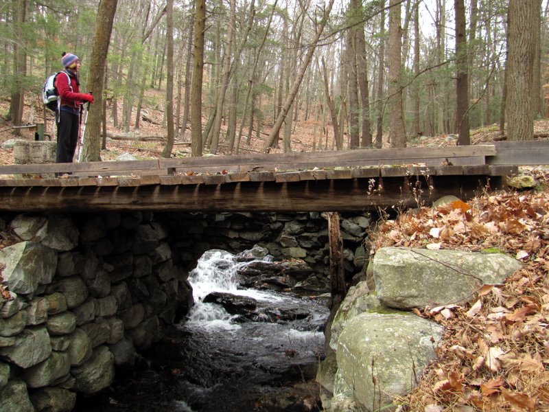
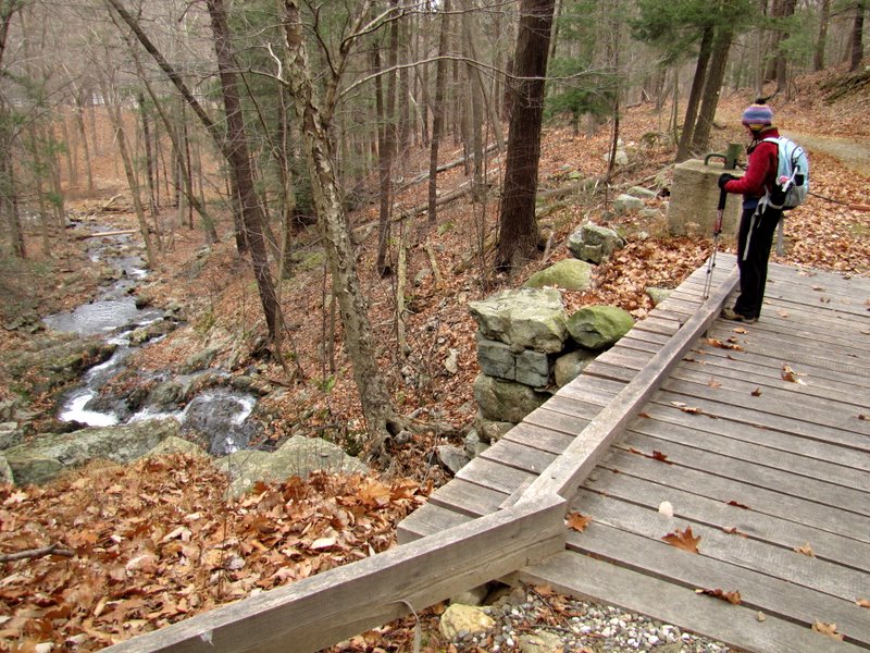
 Beautiful bridge over ... |
 ... Stahahe Brook |
 |
 Solid rock |
 South on Arden Road |
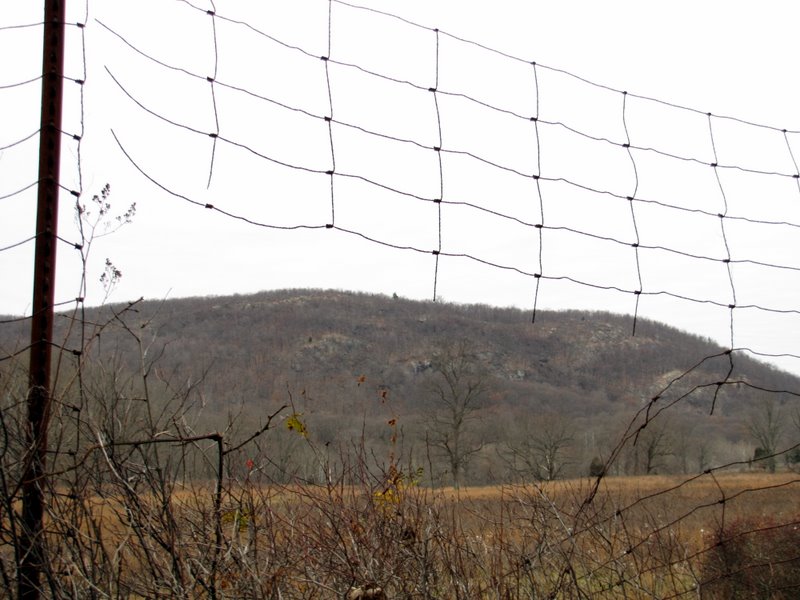
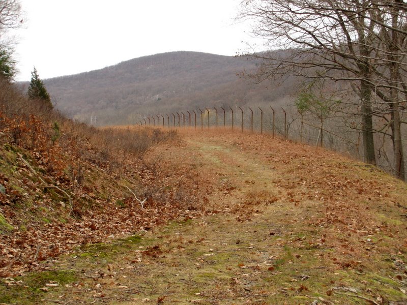
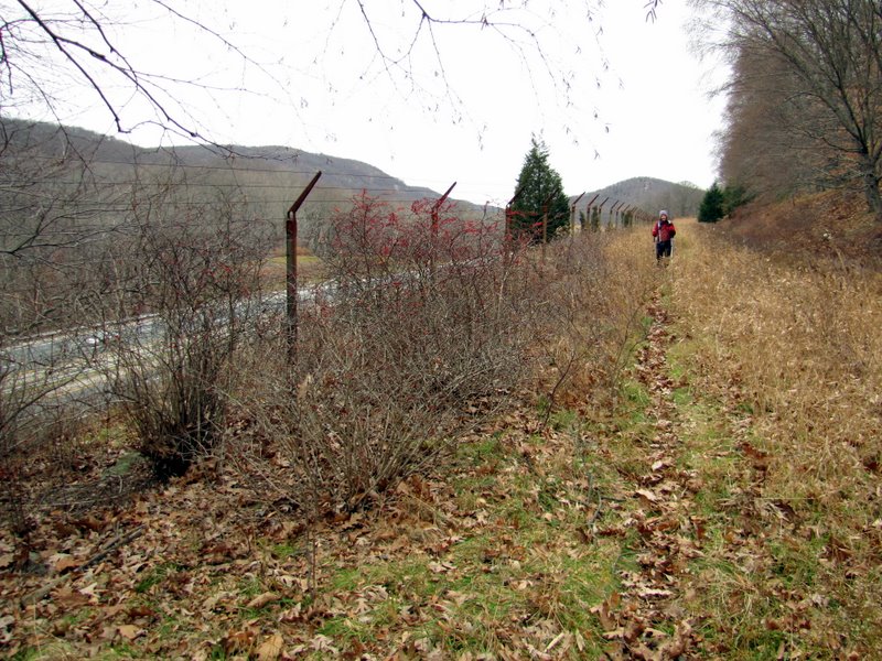
 Fence along the side |
 Sterling Forest on other side |
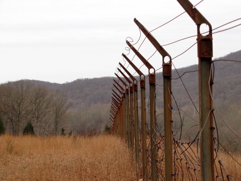
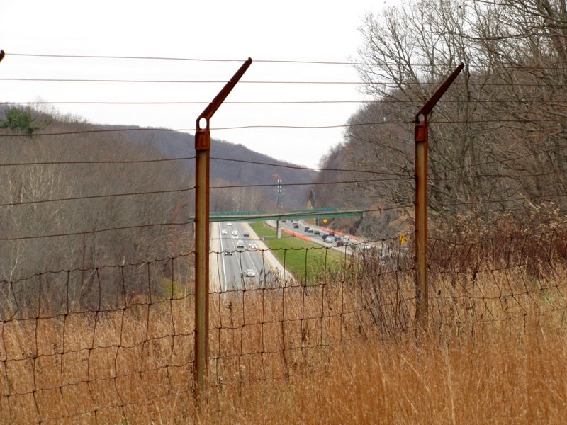 NY Thruway ... |
 ... on other side of fence |
 |
 View north |
 |
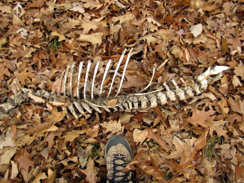 Fawn skeleton? |
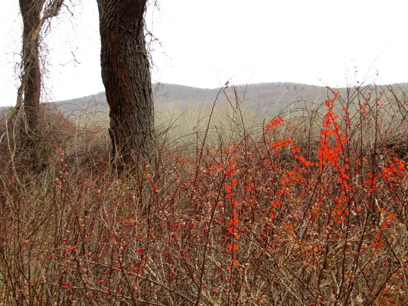 View to Sterling Forest |
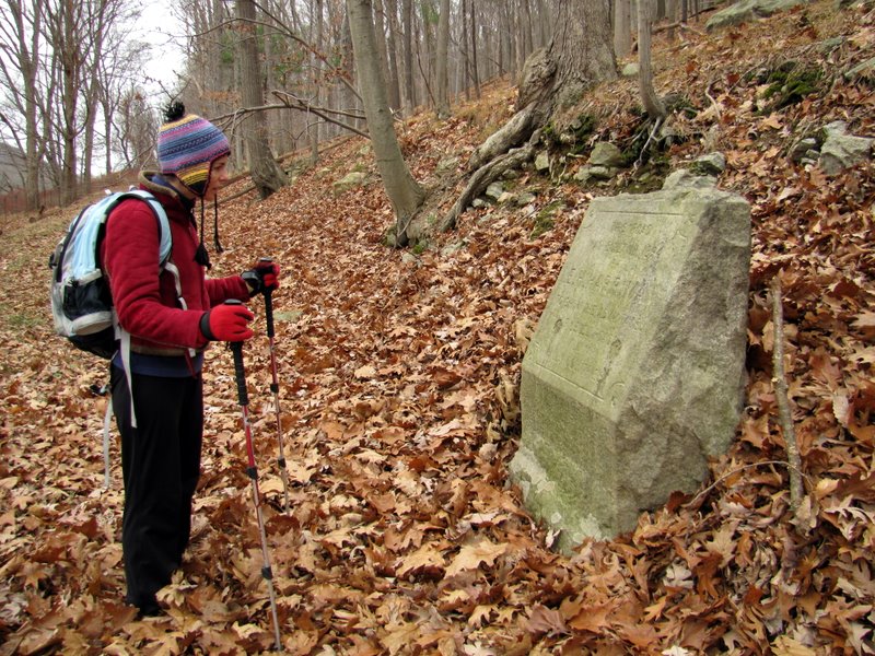 1894 Road Monument ... |
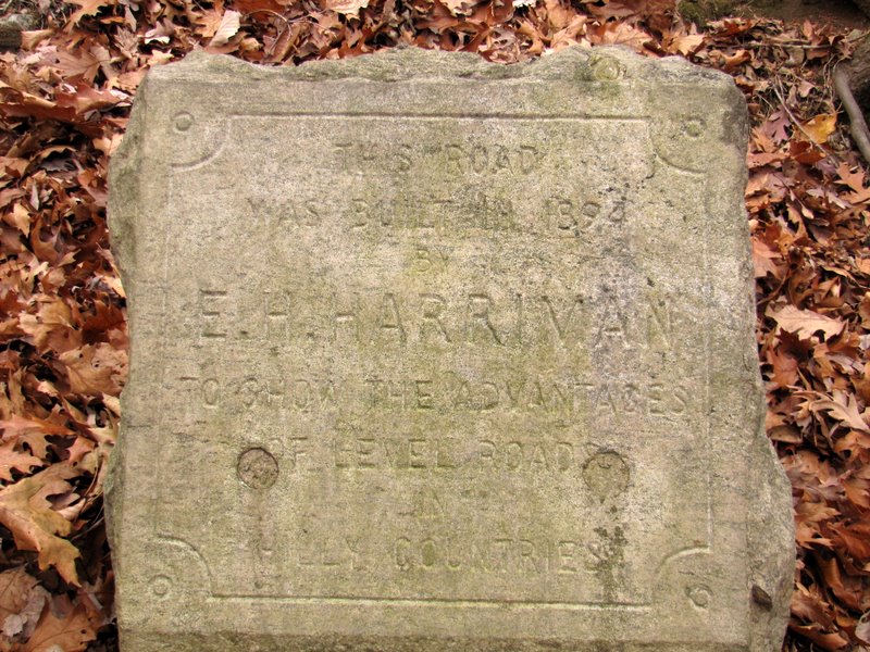 ... in the middle of nowhere |
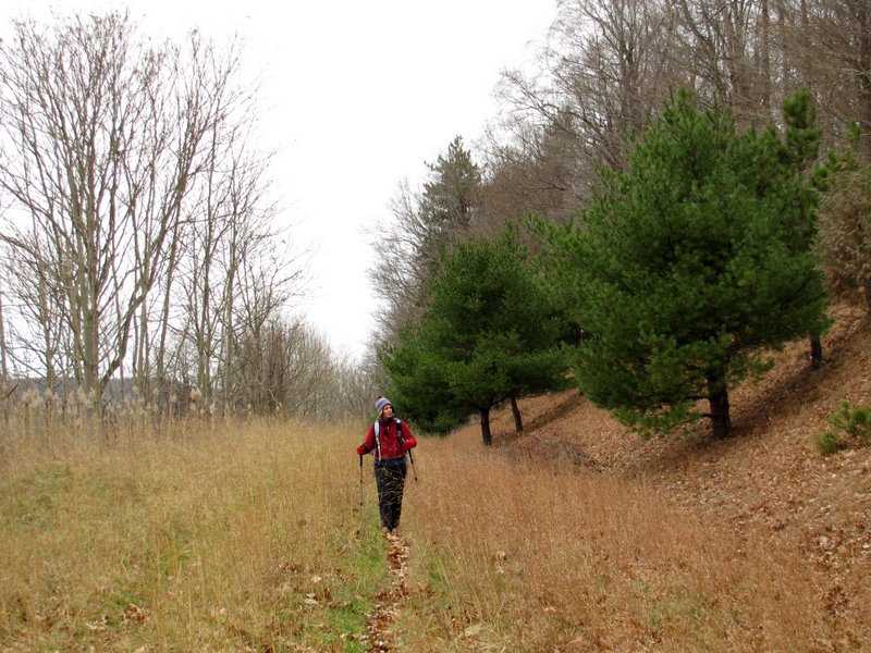
 Pines |
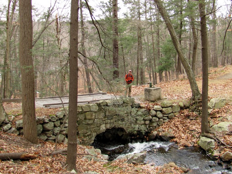
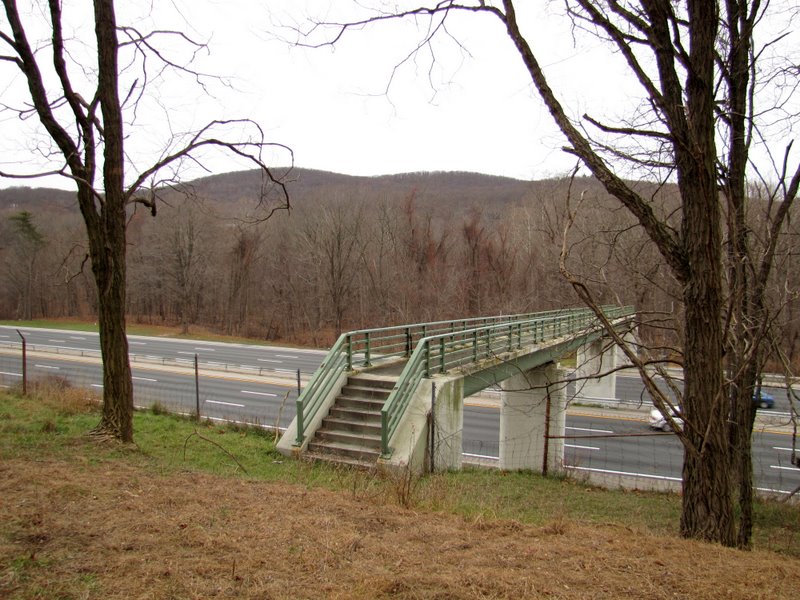 Southfield Pedestrian Bridge |
 Over NY Thruway |
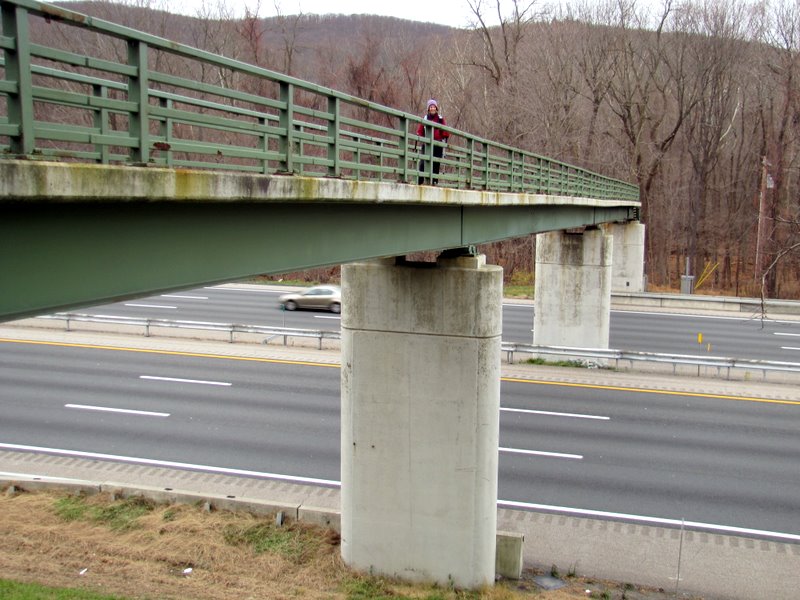 Laura on bridge |
 It's part of Nurian trail |
 |
 Woodpecker grafitti |
 Road starts to climb a bit |
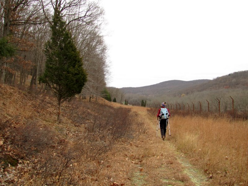
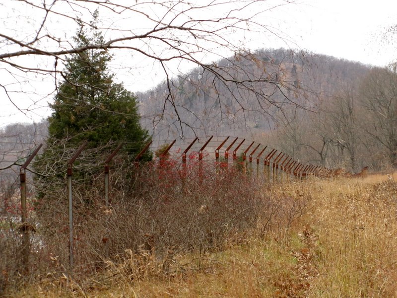
 Long boundary wall |
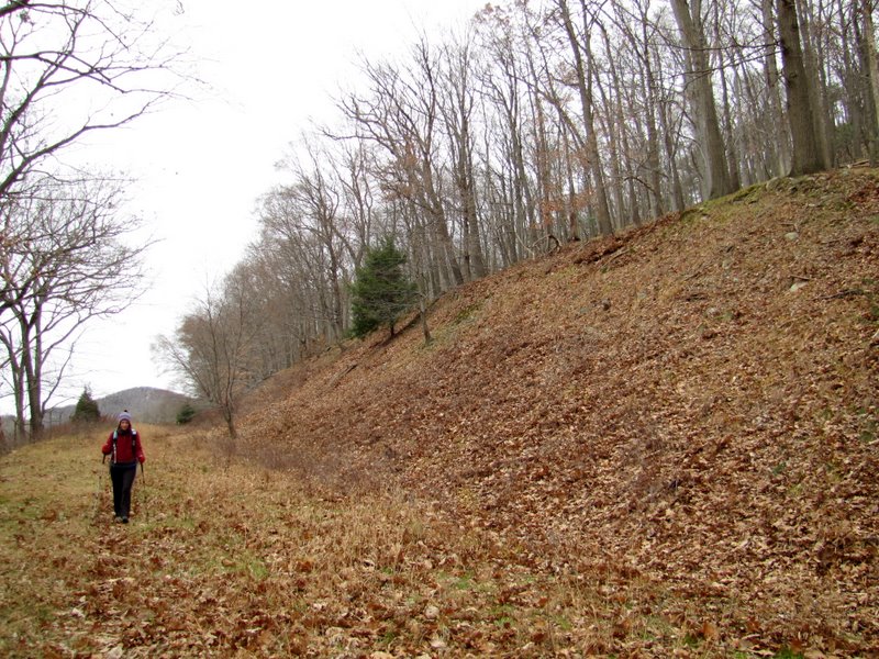
 A gradual ascent |
 Pines |
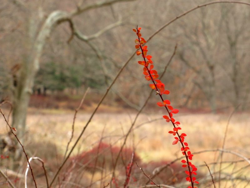
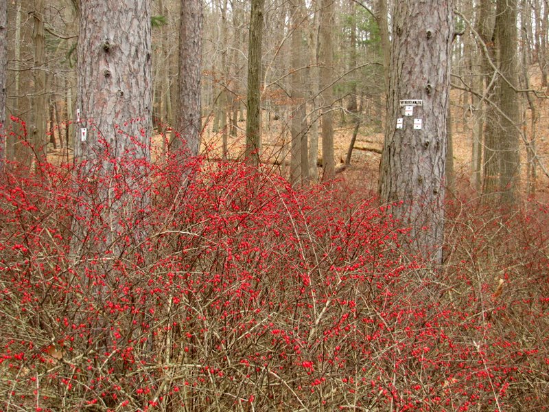
 Blueberry bushes, etc. |
 |
 Now heading NE |
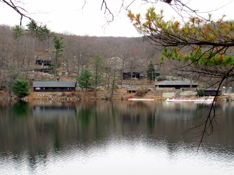
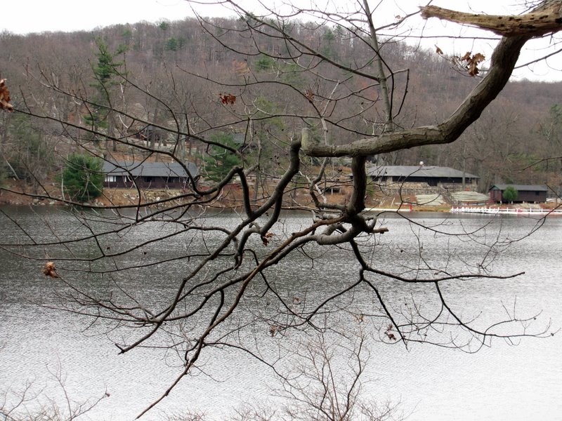
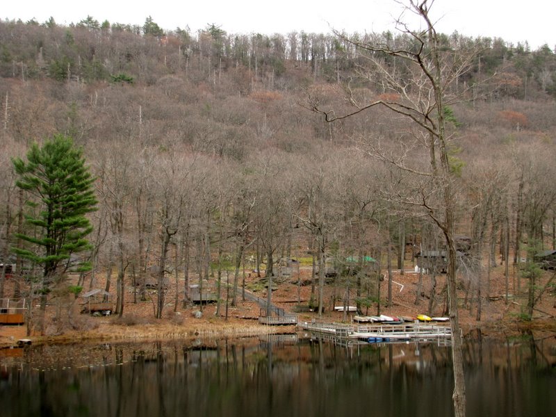
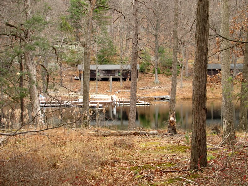
 First view of Lake Stahahe |
 Pave road into camp |
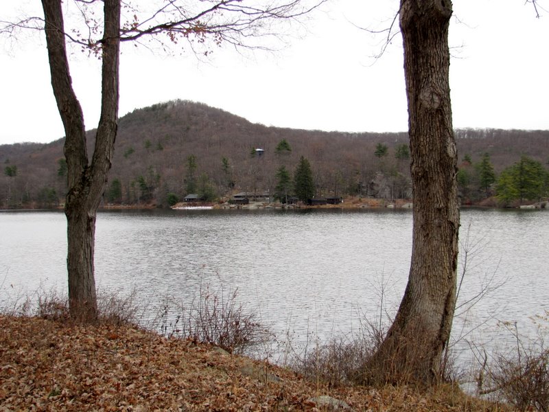 Stahahe High Peak looms over lake |
 Boat launch |
 CCC building |
 |
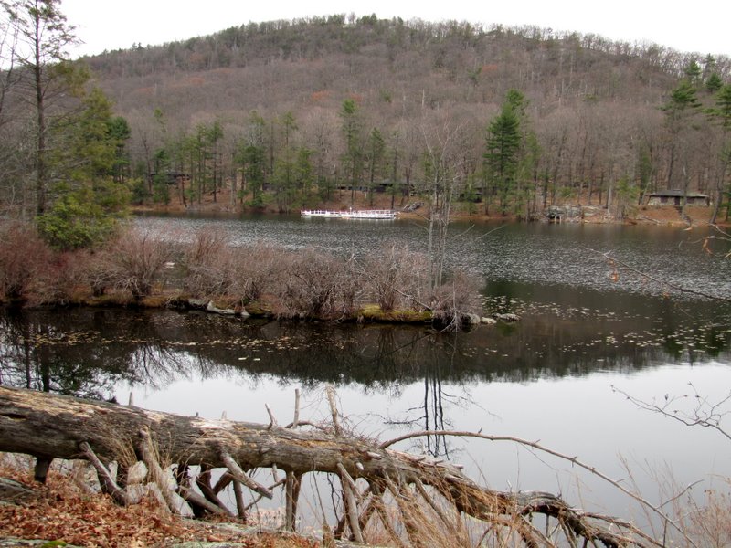
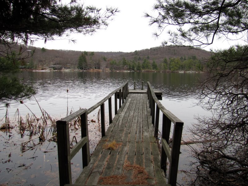 Pier |
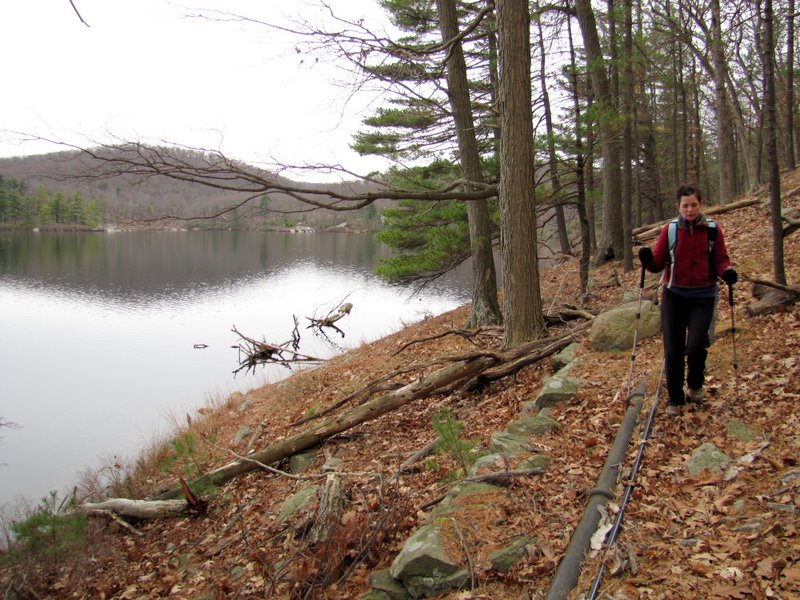
 Pipeline ... |
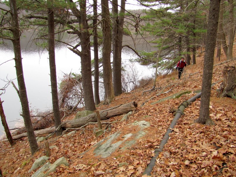 ... along western bank |
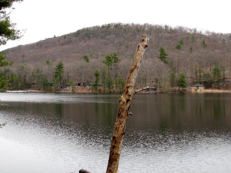
 Camp buildings on eastern bank |
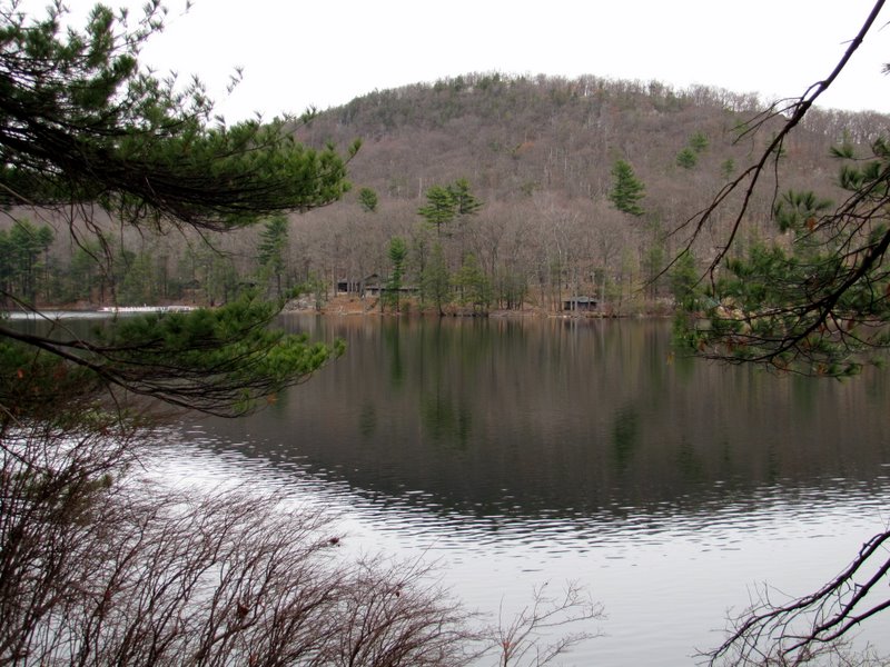 Stahahe High Peak |
 |
 |
 |
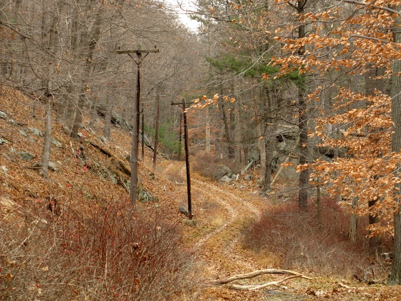
 Pipe and telephone line in ground |
 |
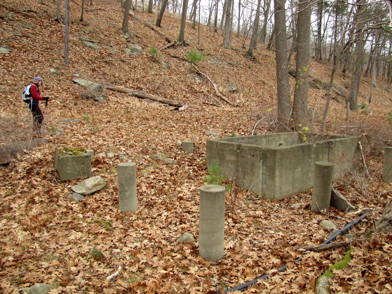 Remains of latrine? |
 Low telephone line |
 Abandoned cement foundation |
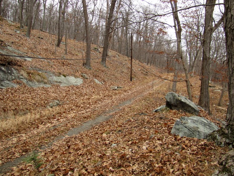
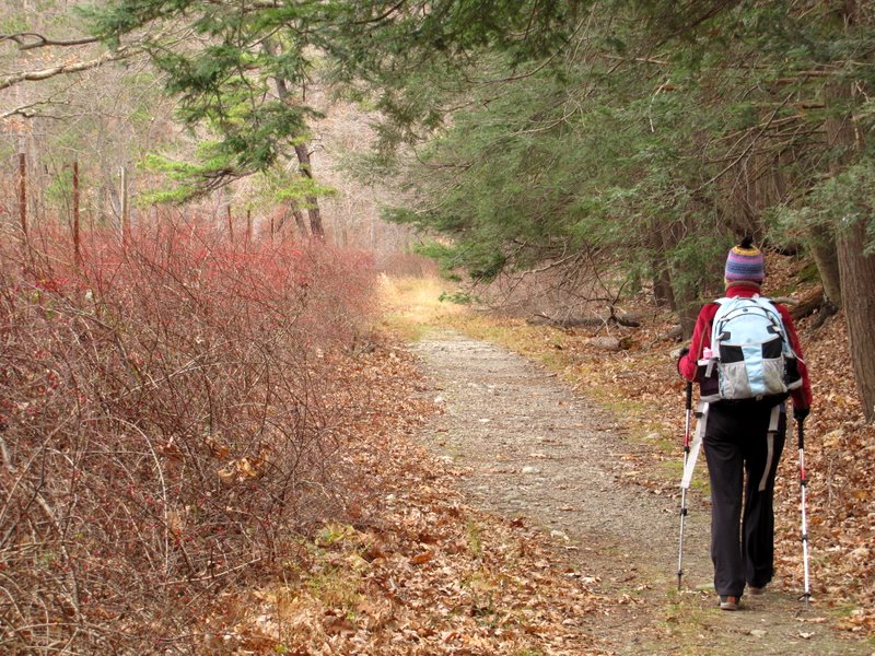
 Beautiful winding road |
 |
 Boats across ... |
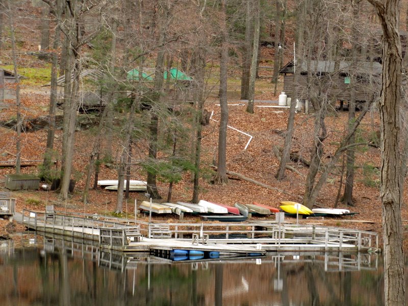 ... Lake Stahahe |
 |
 Continuing north |
 |
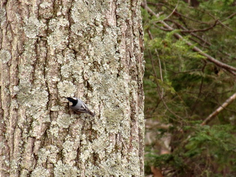 Downy woodpecker |
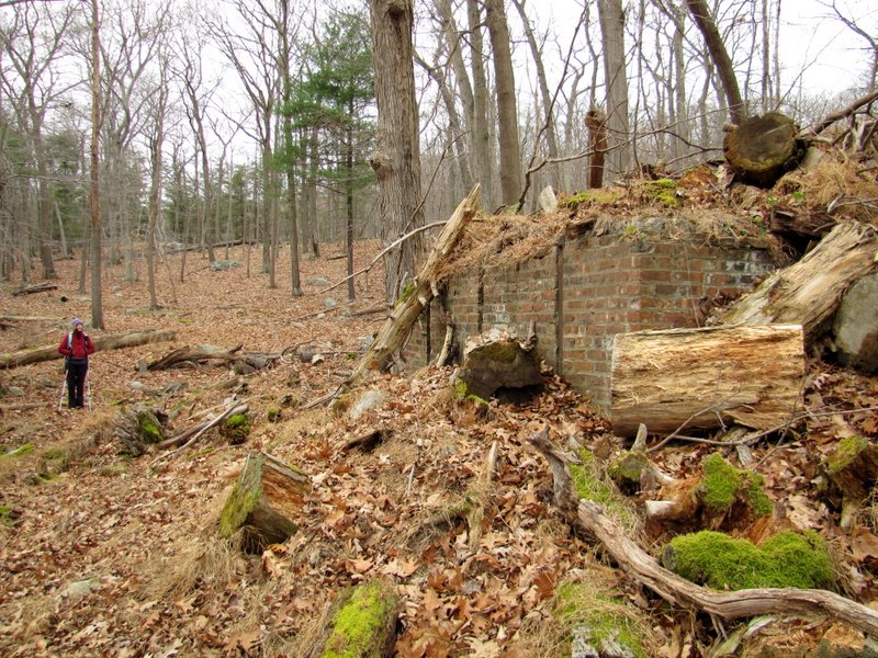 Building remains on Nurian trail |
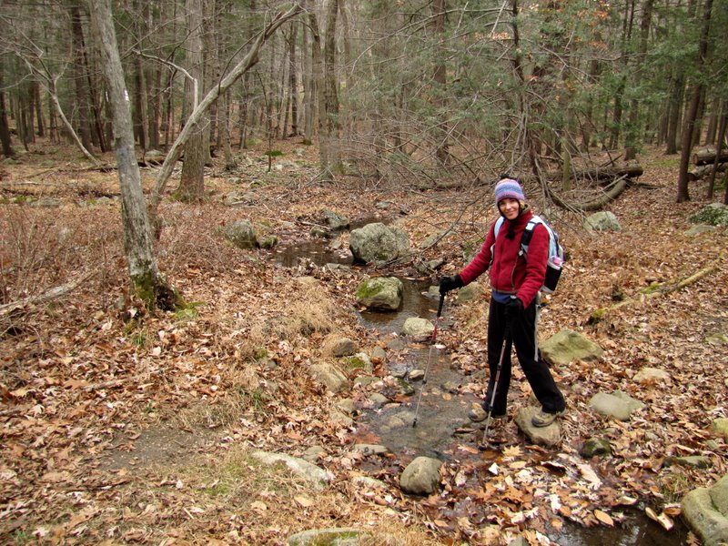 Creek crossing |
 Back to the bridge [photo by Laura] |
 |
 View west |
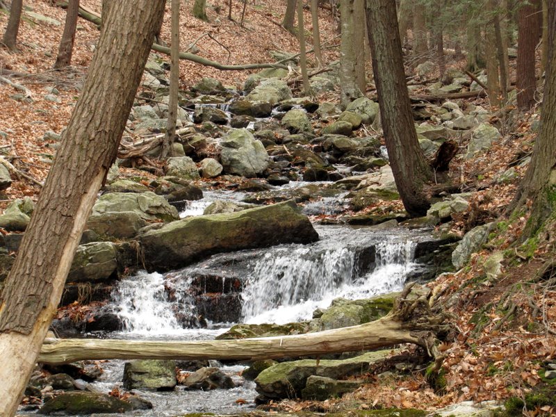 Cascades upstream |
 Heading back north |
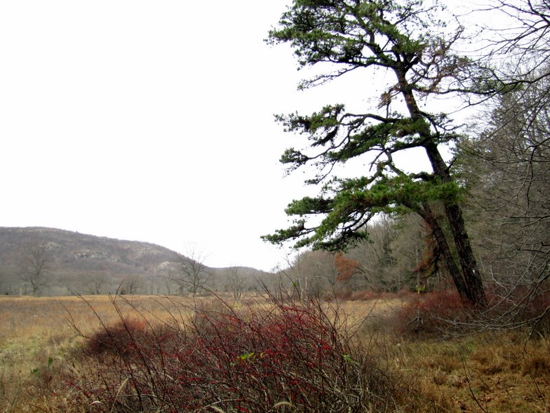 View to Sterling Forest |
 Approaching Elk Pen |
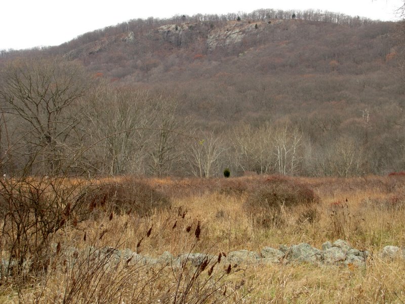 Agony Grind west |

|
|
Photographs and content copyright © Dan Balogh Web design by Dan Balogh |