 |
|
A while ago, while perusing the New York-New Jersey Trail Conference Trail Map #115 (North Jersey Trails), I became intrigued with a relatively small piece of land
sandwiched between parts of Ramapo Valley County Reservation denoted as Mahwah Township Park (north of Lake Henry and south of Stag Hill Road). It being relatively
small, and with a trail network basically forked shaped with three-prongs, I avoided it. But today we decided to give it a try, given we had limited time and it was
only 35 minutes from our home.
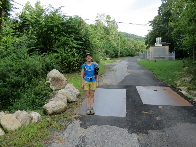
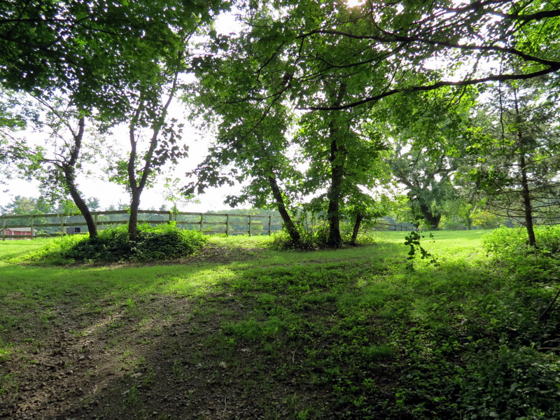
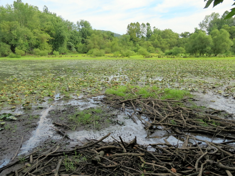
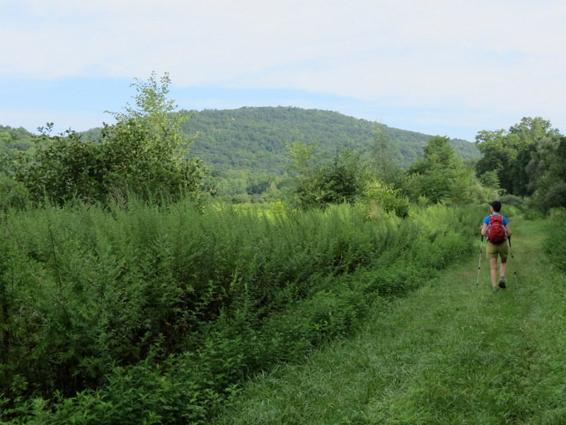
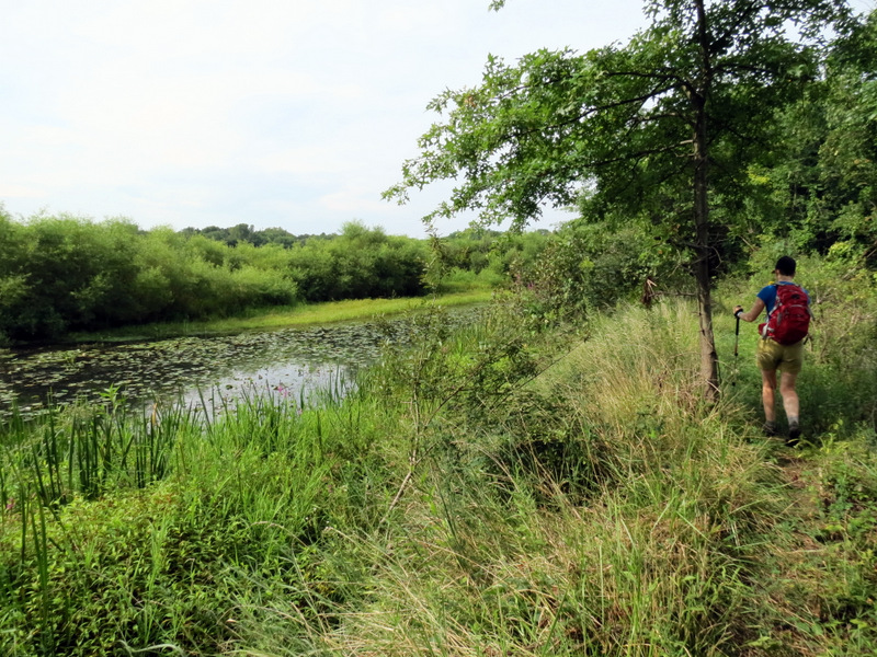
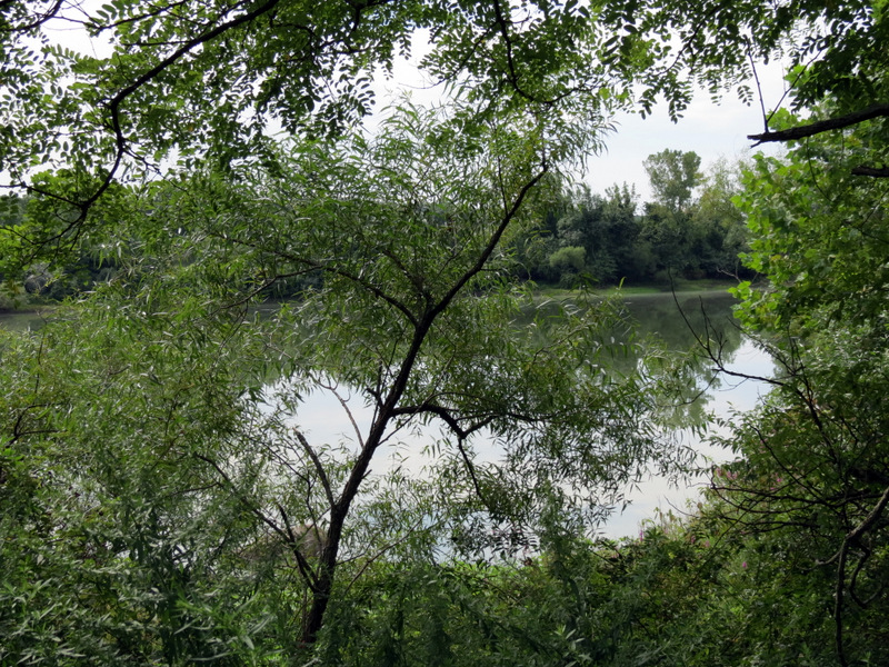
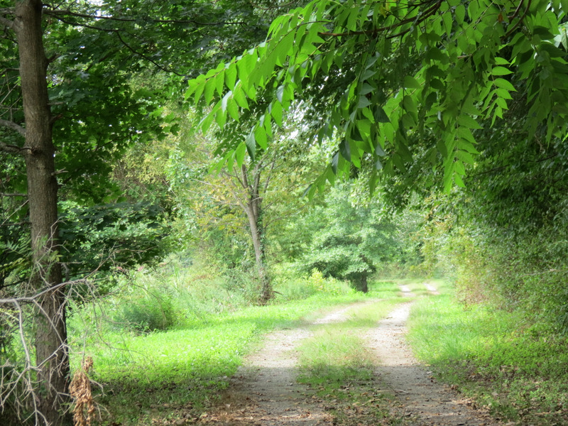
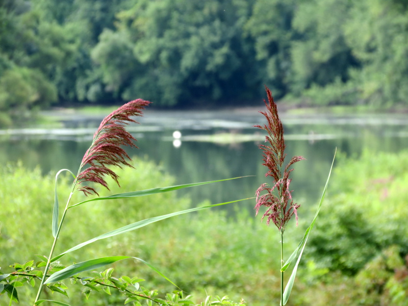
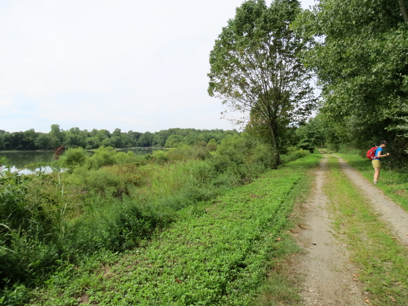
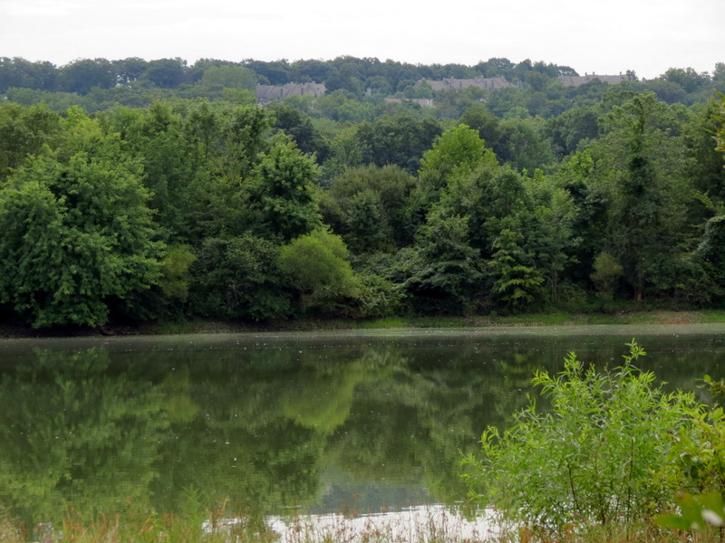
We parked just off Stag Hill Road (there is a P denoted on the map) and walked through the gate into the Mahwah Watershed. The signs were a bit confusing. One said that motorcycles, mountain bikes, ATVs, UTVs and go-karts (huh?) were prohibited. A second sign said that unauthorized vehicles were prohibited beyond the gate (the fence gate was locked so this clearly wasn't a problem for us). So far so good. But a third sign said "Mahwah Watershed KEEP OUT". Rechecking the map, it clearly indicated that we were on park land; the gate and parking were on Ramapo Valley County Reservation property and most of the rest of the entire hike was on Mahwah Township Property. So we entered, heading south along the paved road, passing power buildings on the left. In a very short time we came to Dators Pond where we did all three prongs of the fork, first the eastern, then the center, then the western prong. We were able to return along a woods road parallel to the western prong. Getting back to the car we encountered several workers from the Mahwah Watershed. I greeted them and they returned the greeting. So, apparently we were fine being in there. This makes sense since there seems to be no other way into this area. The eastern prong is quite overgrown in a small stretch, but beautiful, though limited views of the pond. There is also a bridge heading east over the Ramapo River with nice views. The middle prong is, unfortunately, littered. But at the end of this prong we watched three beavers swimming in circles, clearly aware that we were there but having a grand old time regardless. The western prong is a gravel road with the best views over the pond from a greater height. Total distance today was 3.5 miles in 2 hours.
|
 Mahwah Watershed gate |
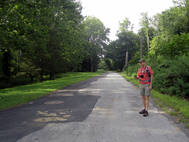
 Paved road to pond |
 |
 Checking the PDF map [photo by Laura] |
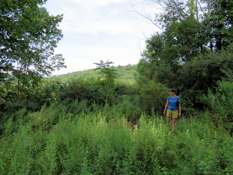 Vegetation! |
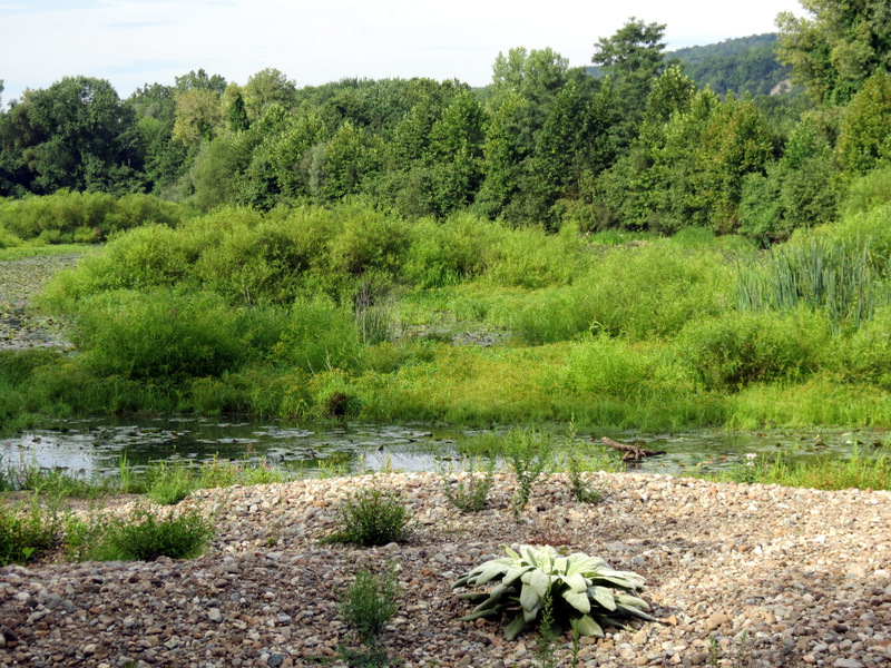
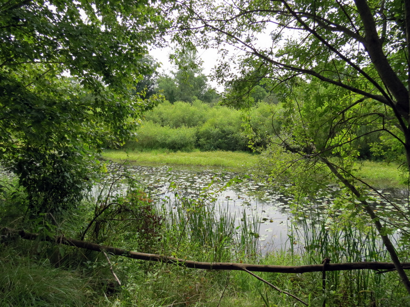
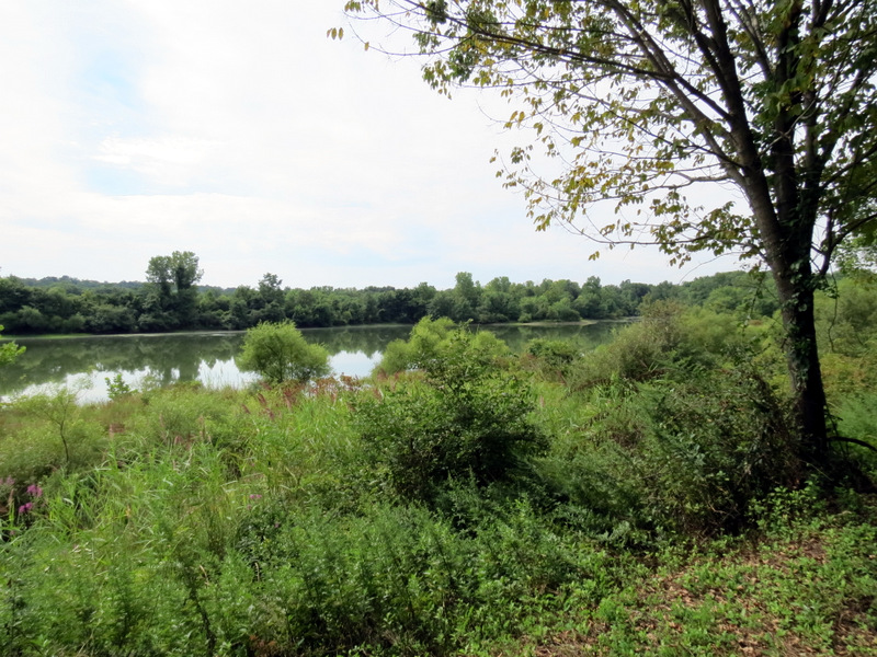
 First view of Dators Pond |
 |
 Looks like a giant keyboard! |
 |
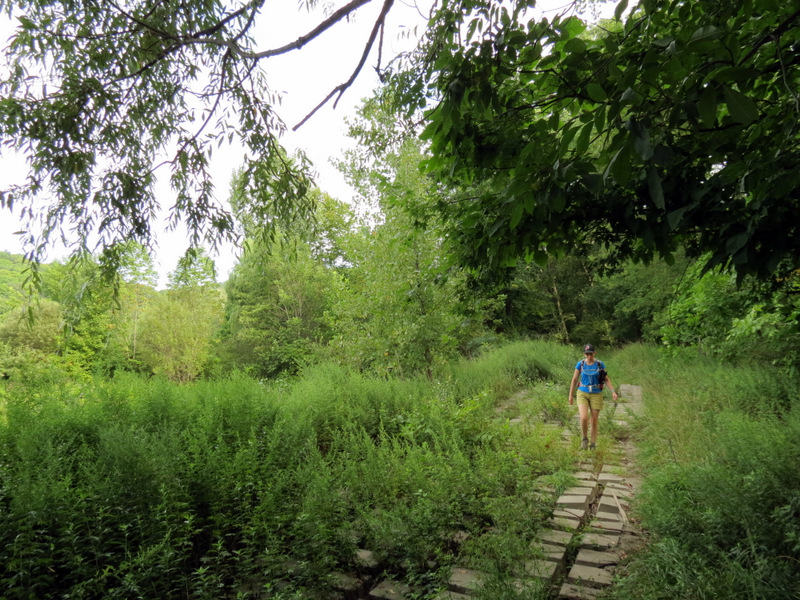
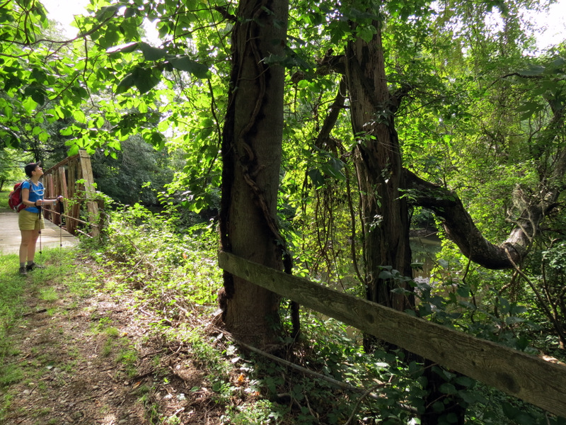
 Overgrown path in parts |
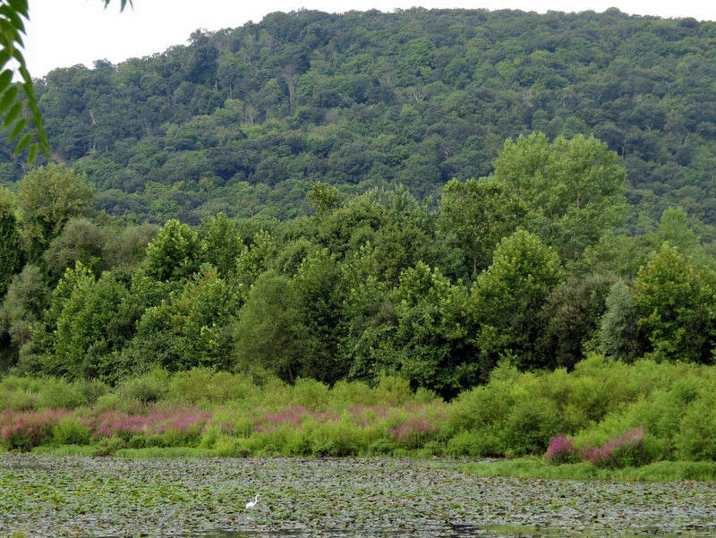 A lone egret in the pond |
 Egret and three ducks |
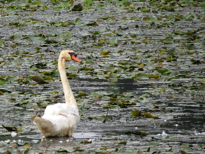 Swan |
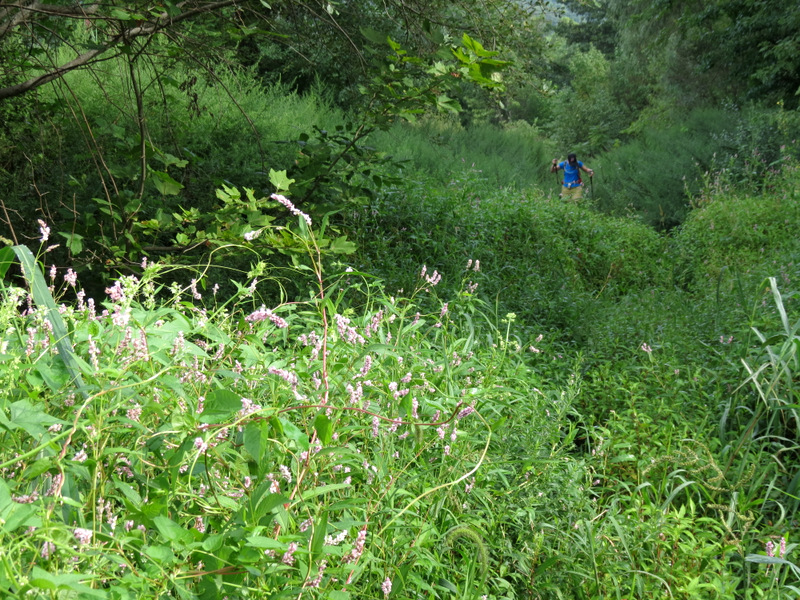
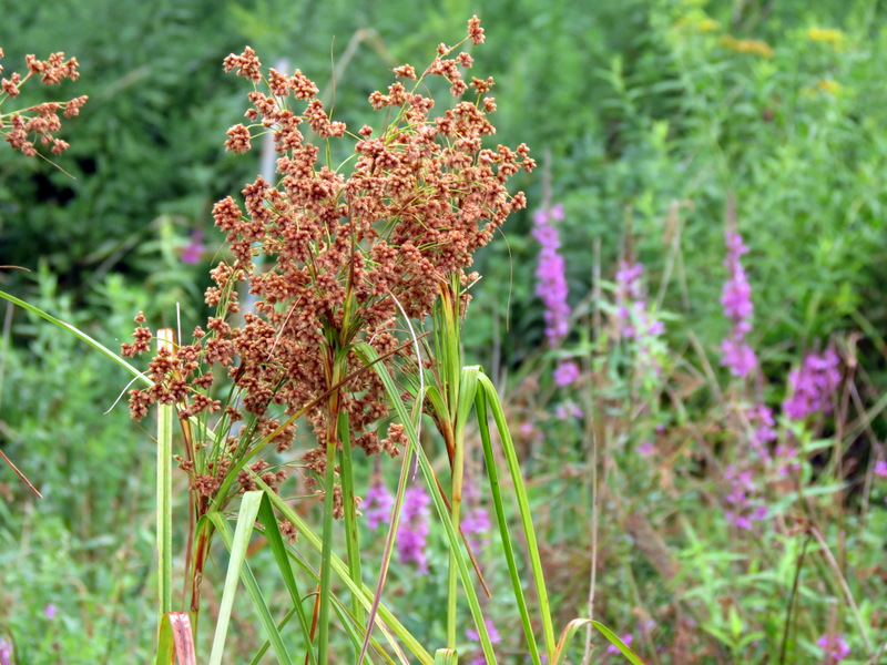
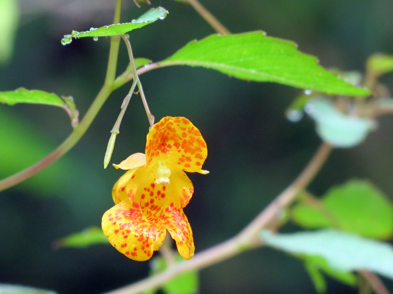
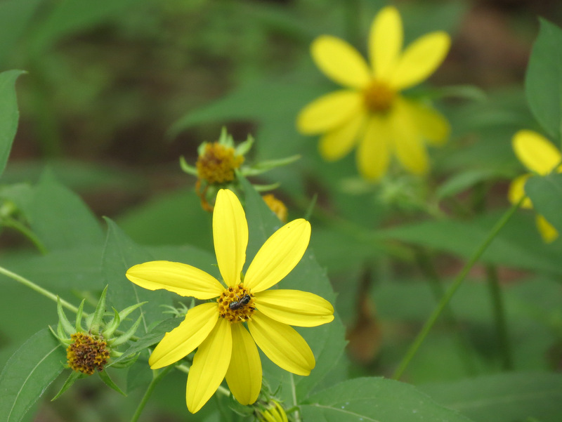
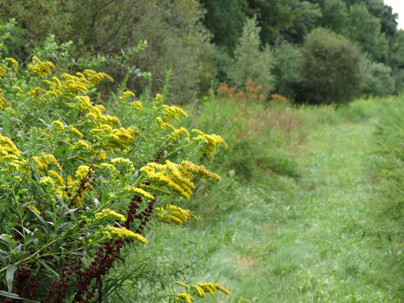 Wildflowers along path |
 |
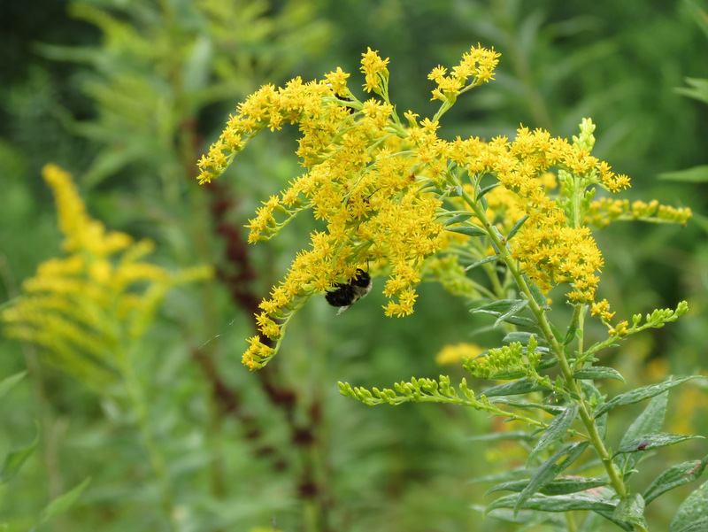 Bee at work |
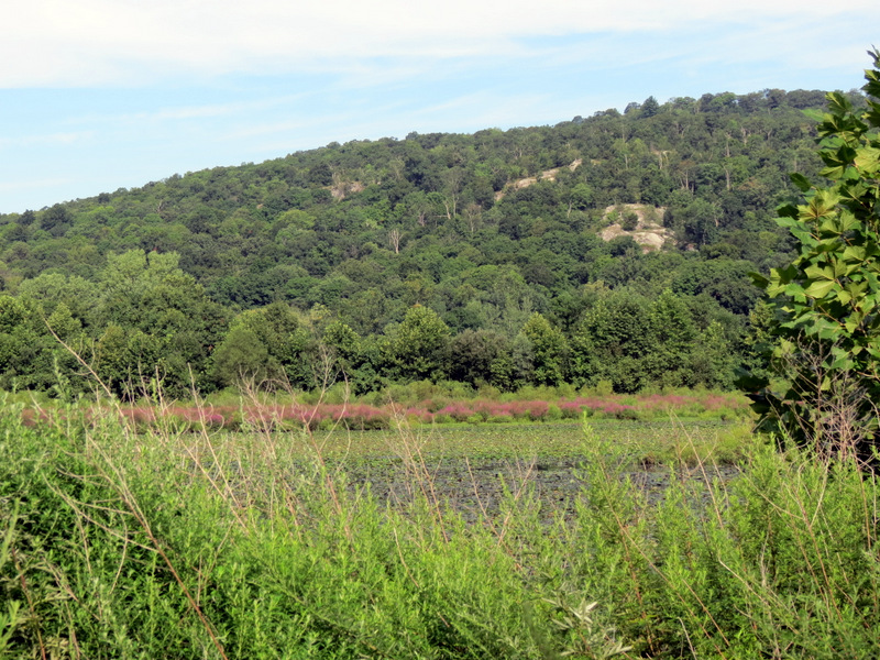 Green Hill across the pond |
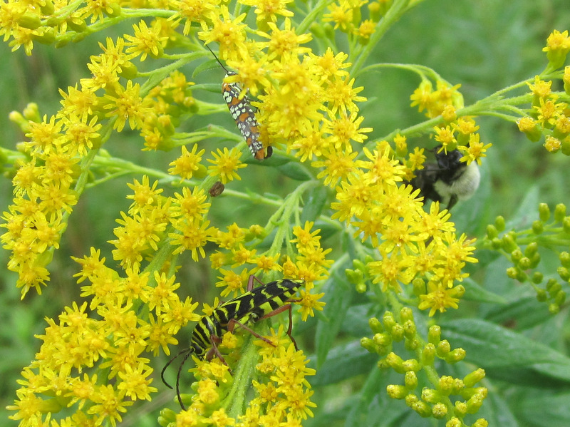 Three insects! [photo by Laura] |
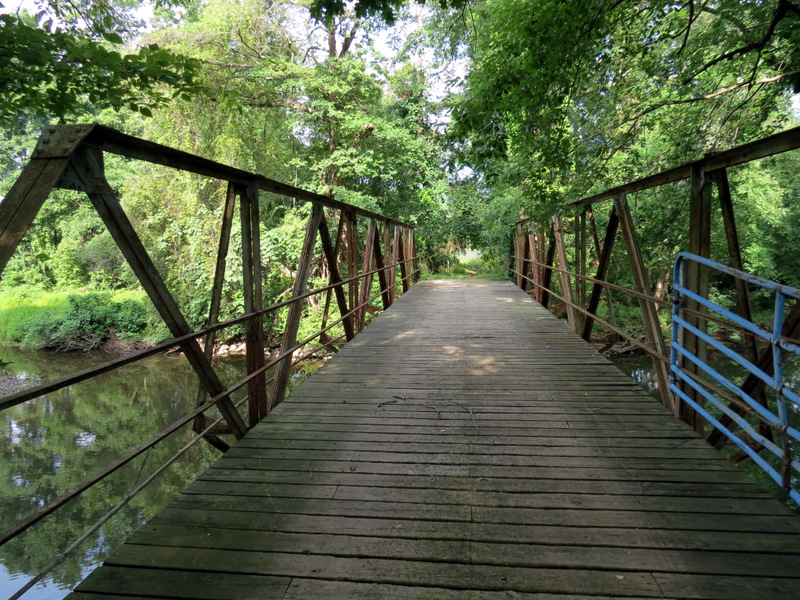
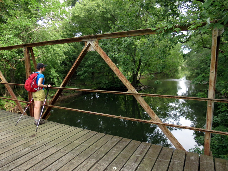
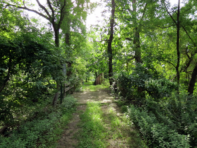 Bridge over ... |
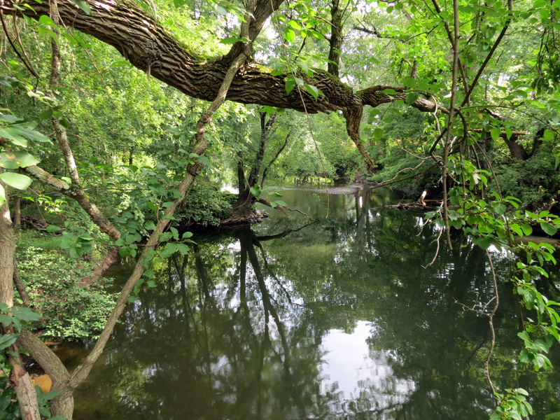 ... Ramapo River |
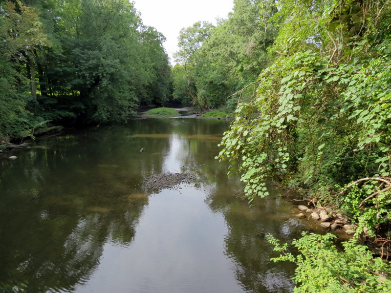 Ramapo River looking south |
 |
 Bridge |
 River looking north |
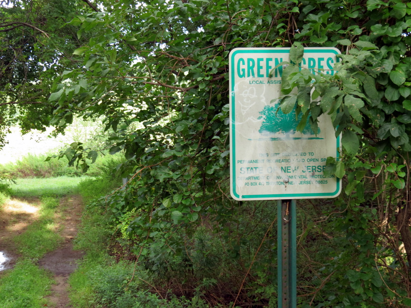 Green Acres sign |
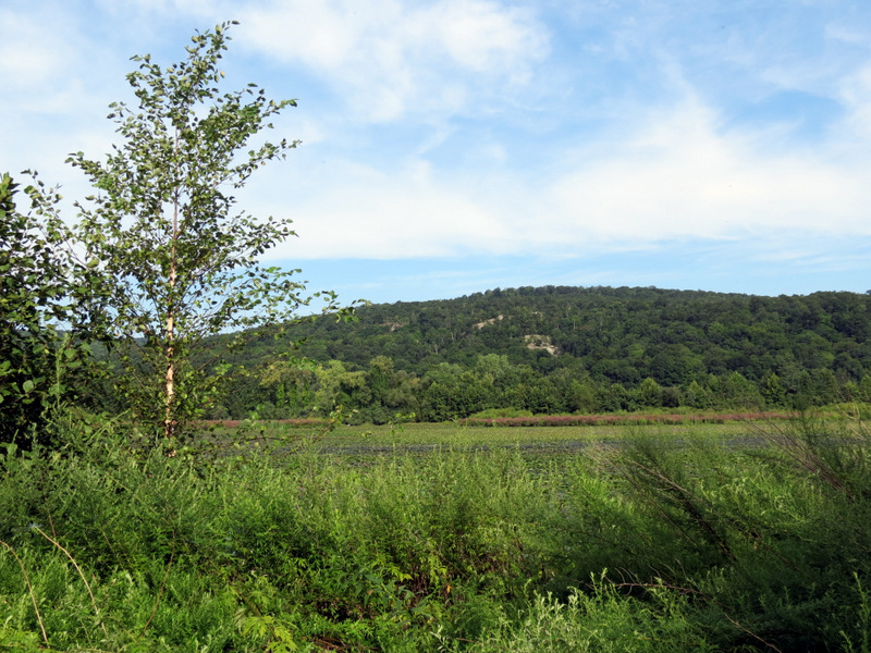 Green Hill |
 At southern end of eastern prong |
 |
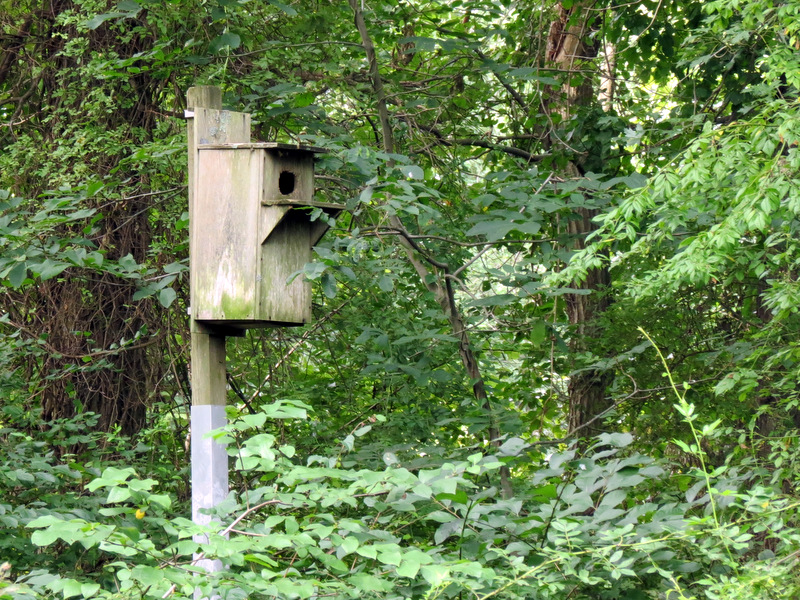 Birdhouse on eastern prong |
 Pond from northern tip |
 Stag Hill in distance |
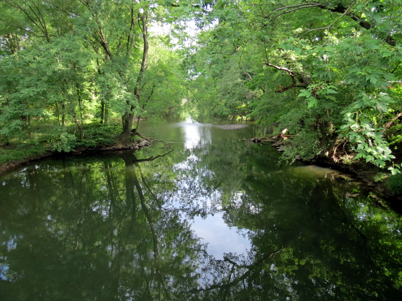
 Ramapo River |
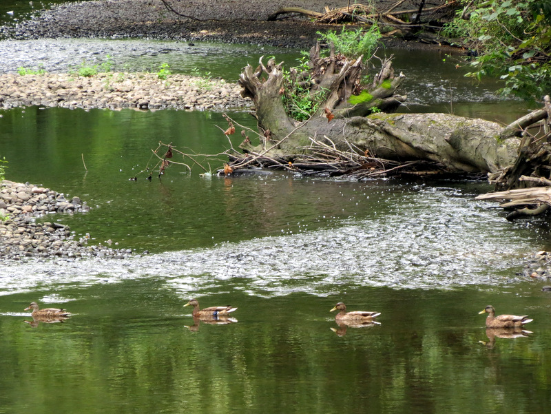 Four ducks |
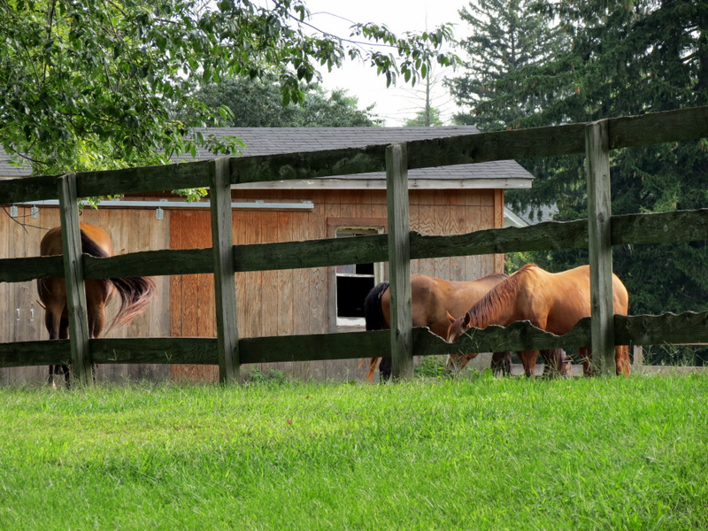 Horses across bridge |
 Looking north |
 |
 |
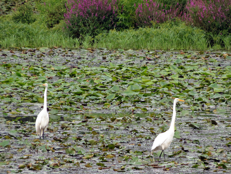 Two egrets in Dators Pond |
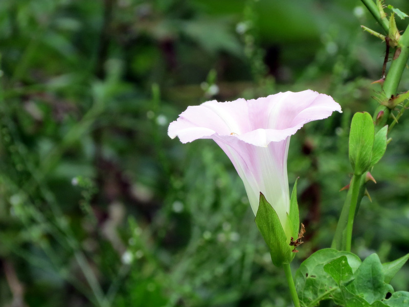 Morning Glory |
 |
 Overgrown eastern prong |
 On middle prong |
 |
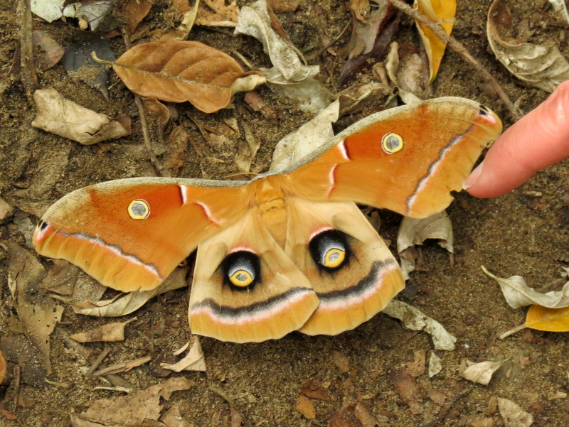 Huge beautiful moth |
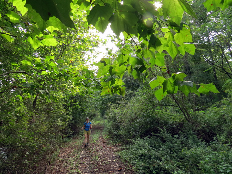
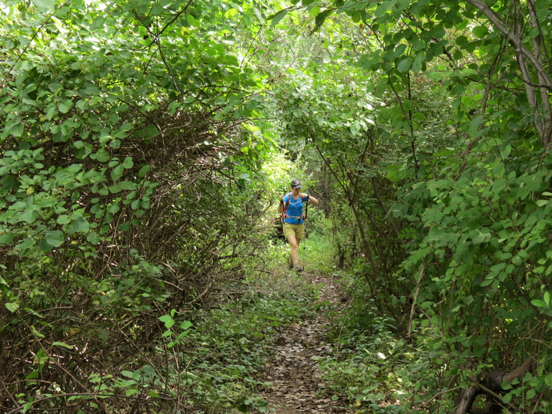 Narrow path |
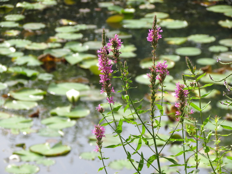
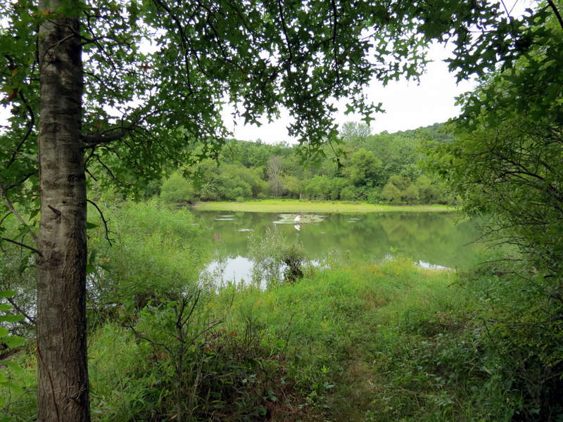
 Dators Pond from middle prong |
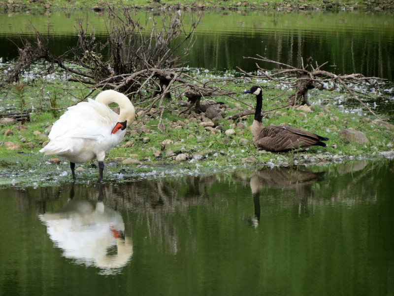 Swan and Canada Goose |
 View from southern tip |
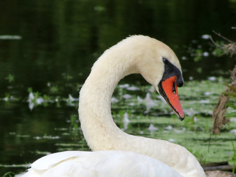 Swan close-up |
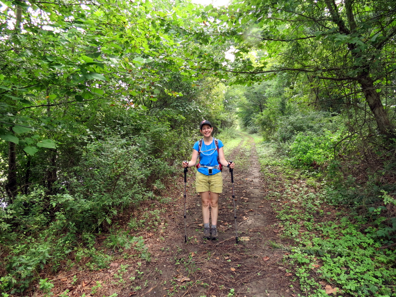
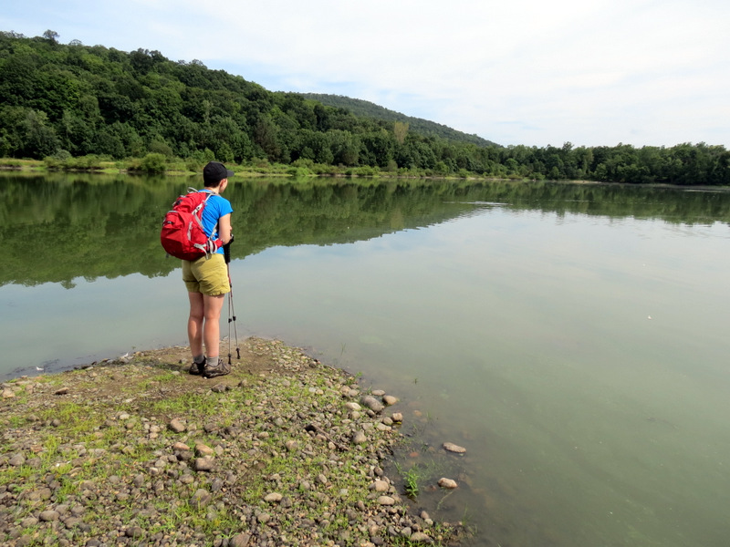
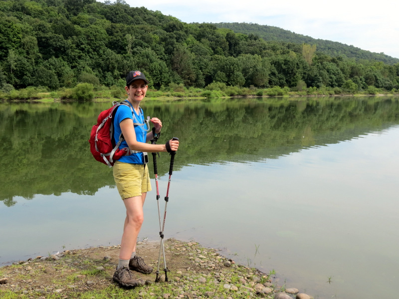
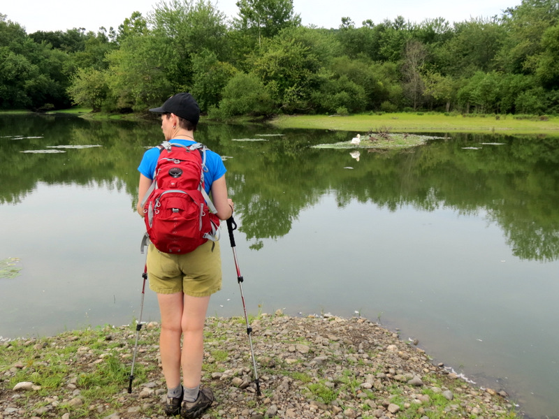 Laura at southern tip |
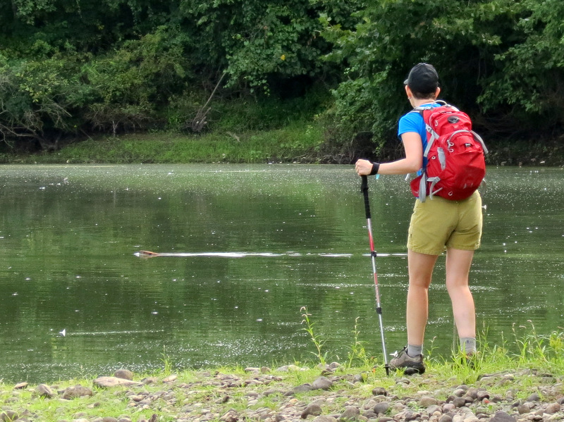 Watching a beaver! |
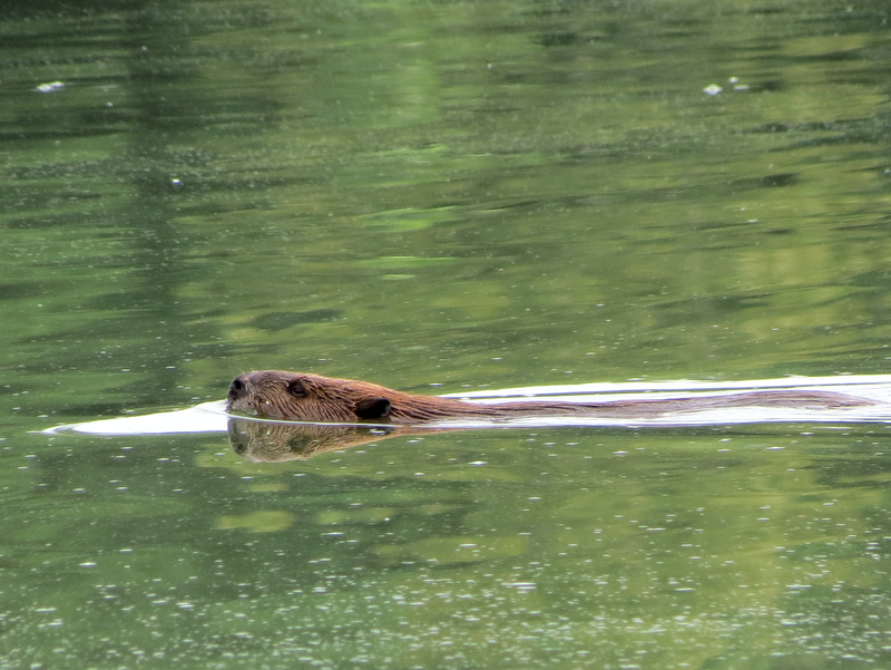 Beaver! |
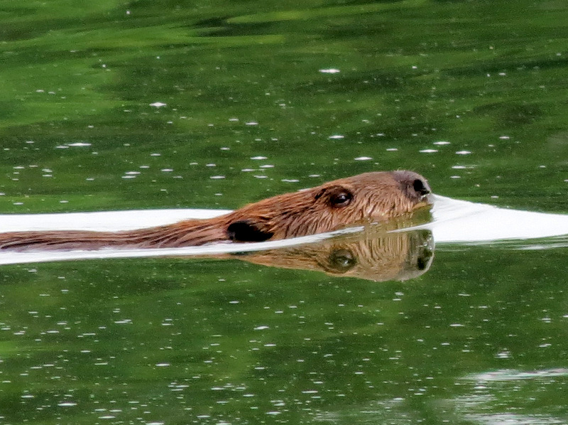 Another beaver |
 Watching beavers in Dators Pond |
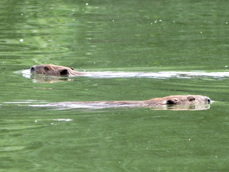 Two beavers! |
 |
 |
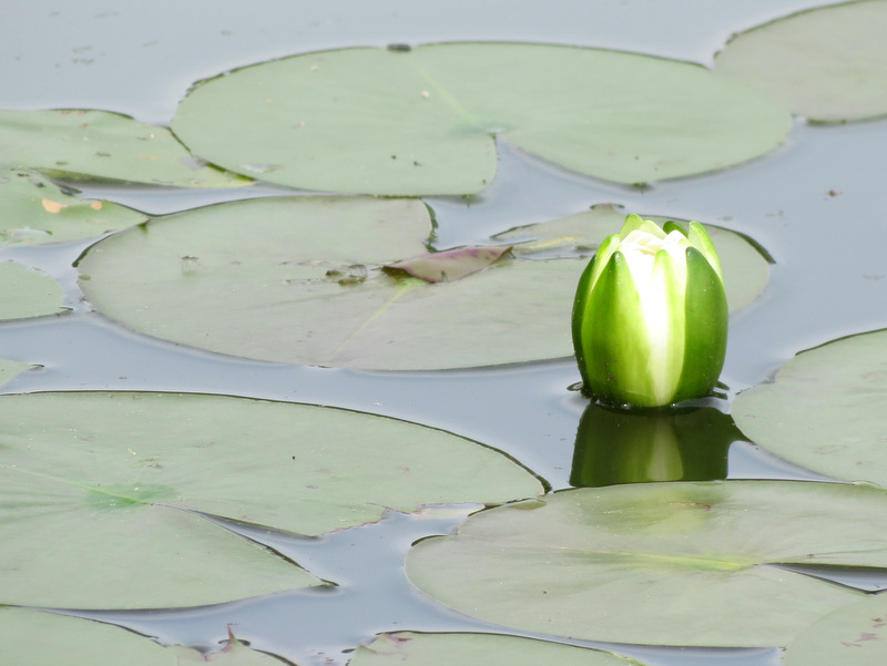 Lotus bud |
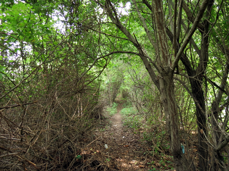 Narrow path on middle prong |
 |
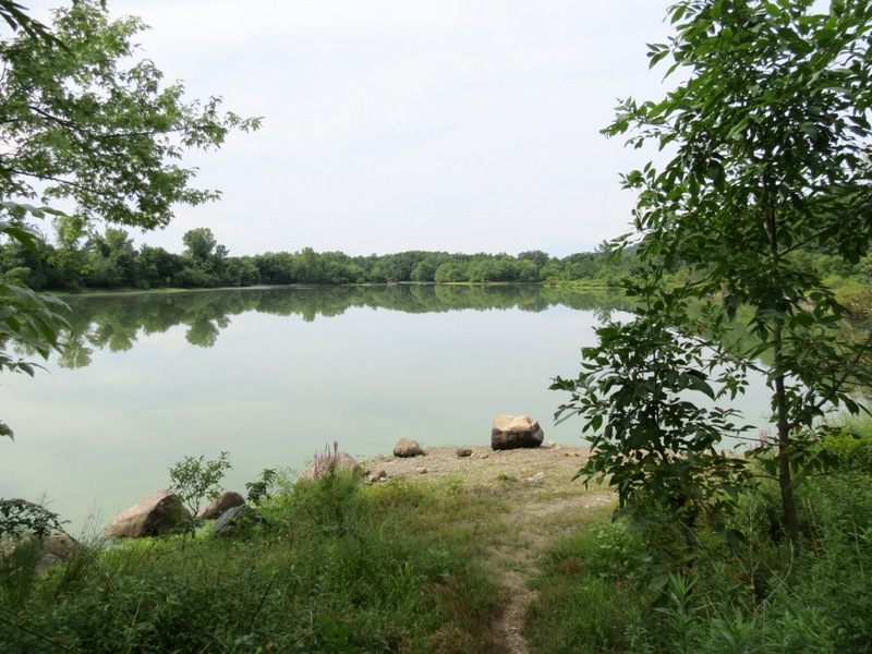 View from western prong |
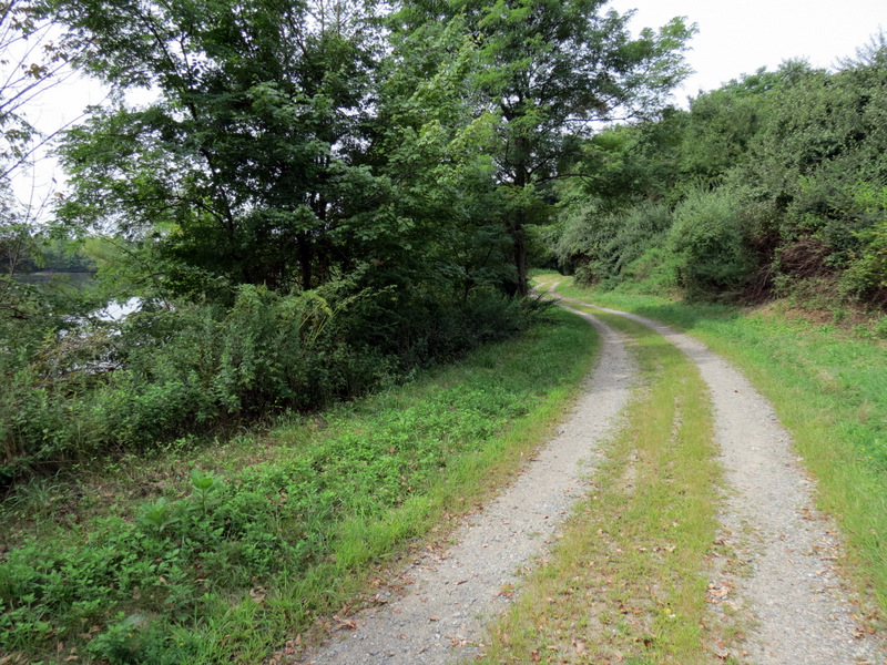 The gravel path |
 Pond through trees |
 Western prong looking south |
 |
 Looking at ... |
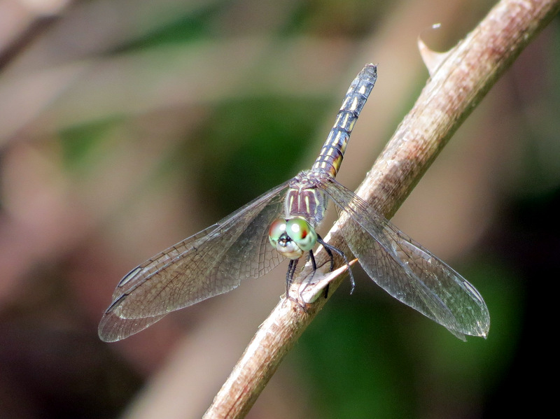 ... dragonfly |
 Dators Pond from western prong |
 View north |
 Houses on hill |
 Dators Pond |
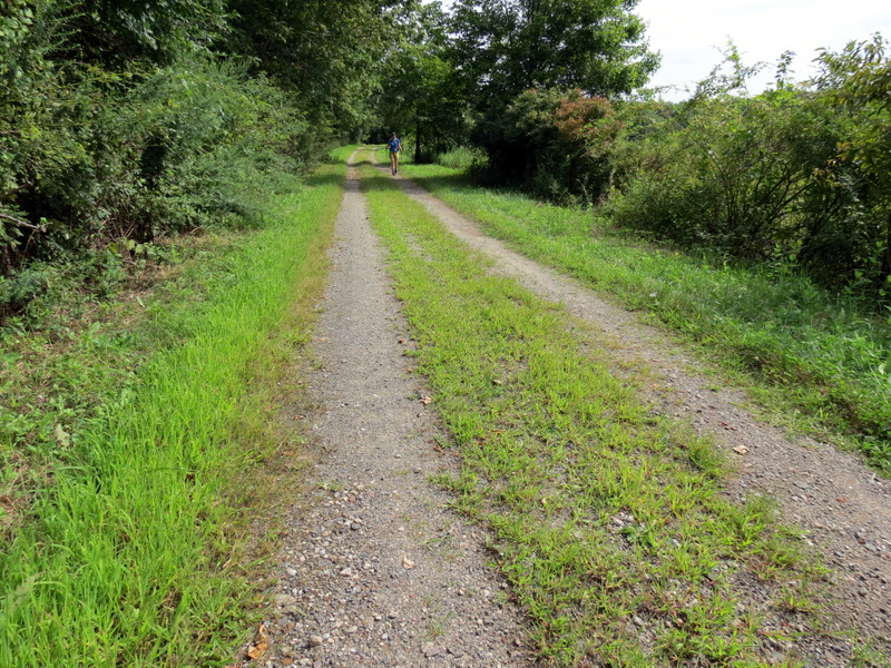
 On parallel woods road |
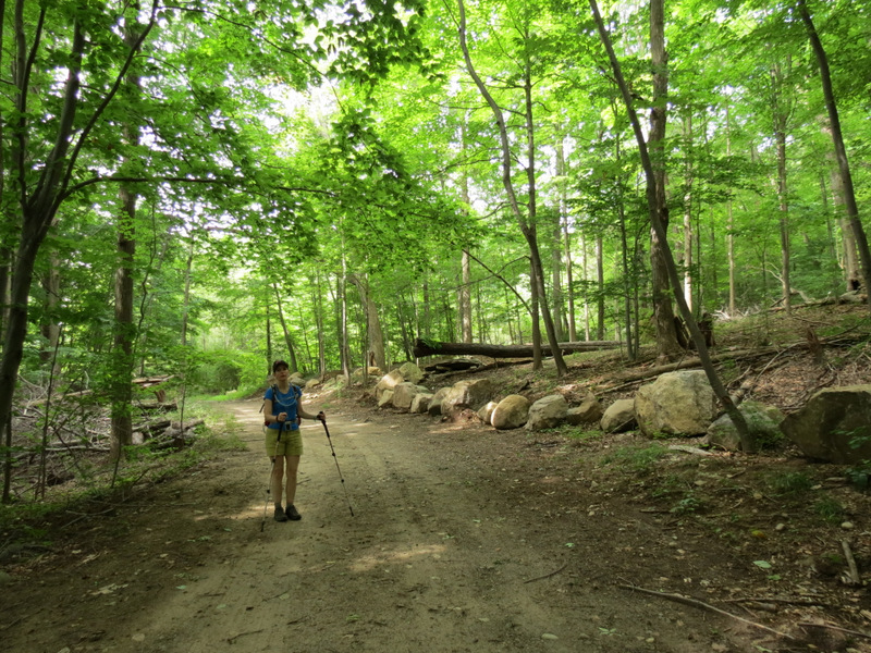 Woods road |
 |
 Bug on Daisy |
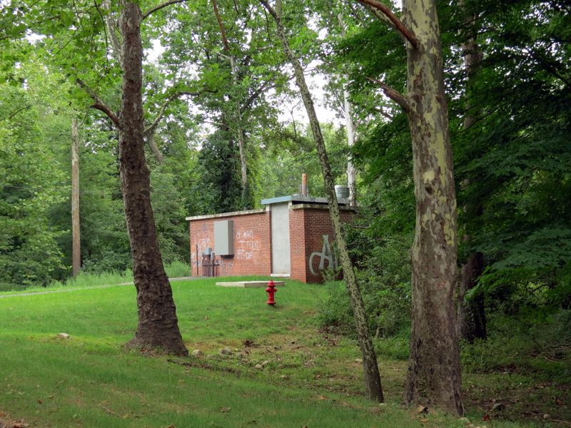 Power building |

|
|
Photographs and content copyright © Dan Balogh Web design by Dan Balogh |