 |
|
This is a hike of my own invention, covering a part of the AT that we have never hiked before: parts just east and west of Route 650 in Montague Township, NJ, near the southwestern
boundary of High Point State Park.
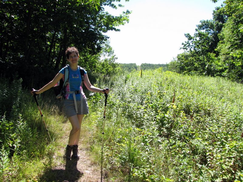
It's a figure 8 which begins in the parking area off Route 650 just where the AT crosses the road (in fact, the AT traverses through the parking area). We headed north on the AT from the parking area (towards Maine) until we reached the red-dot Iris trail the second time. There we made a left onto the Iris trail. After crossing the gas line cut we were planning to follow an "unmaintained trail" heading west clearly marked on the NYNJTC map (Kittattiny Trails May 123, 2009 edition). The map specifies both "Stone Wall Ruins" and "Ruins" on this trail as points of interest. However, the trail was filled with overgrown prickly plants so after visiting the stone wall ruins we headed back to the Iris trail (perhaps we'll go back in the winter). Back on the Iris we took it to Route 650, crossed the road, and headed on an unmarked woods road to the Mashipacong AT shelter before making a right turn on the AT and heading back to the car. Total distance hiked was 4.8 miles in less than 3 hours.
|
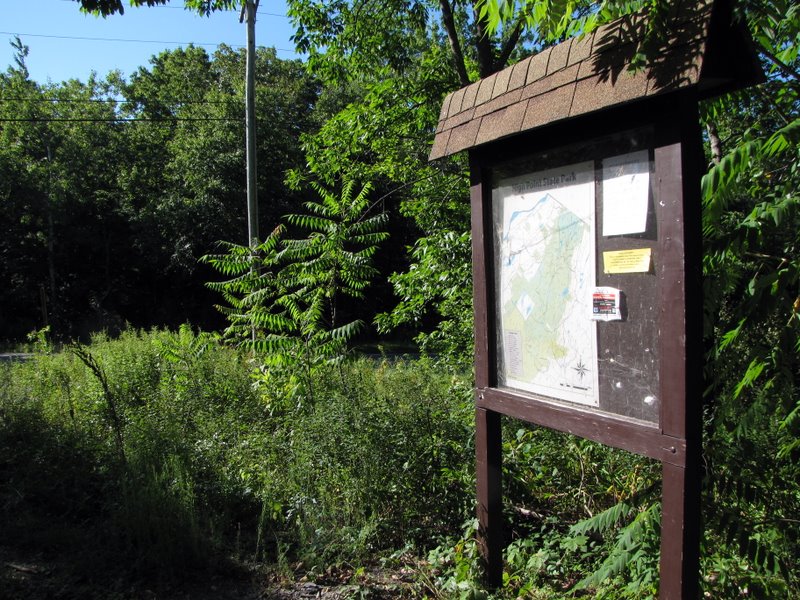 High Point State Park kiosk |
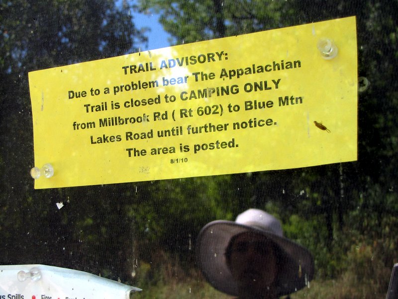 Bear warning! |
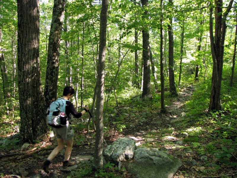
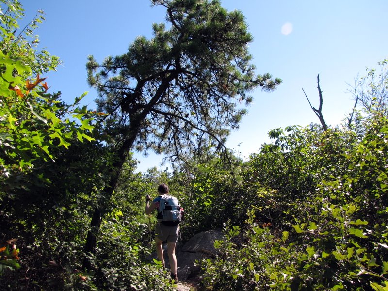
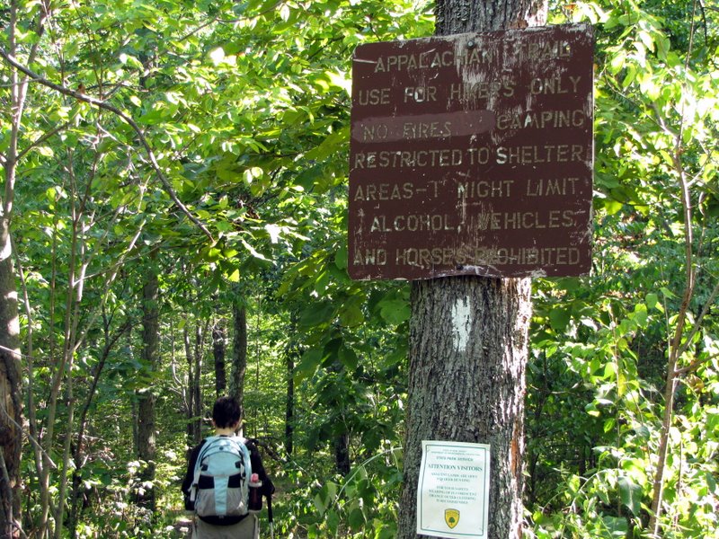 AT heading north |
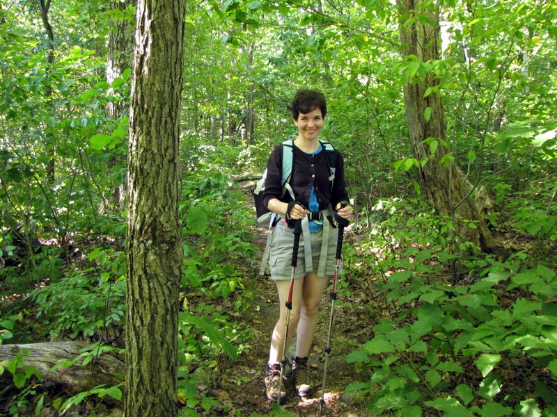
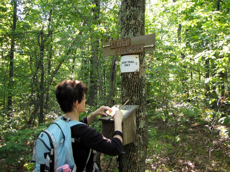 Laura at the AT registry |
 |
 Slight climb |
 |
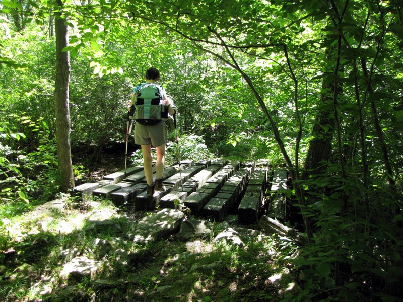
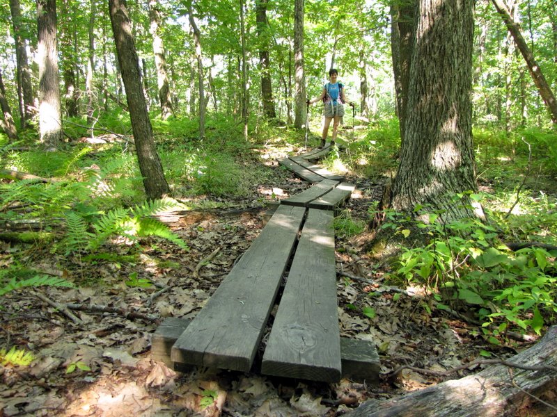 Boardwalk |
 1st intersection with Iris Trail |
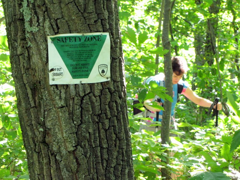 Hunting safety zone |
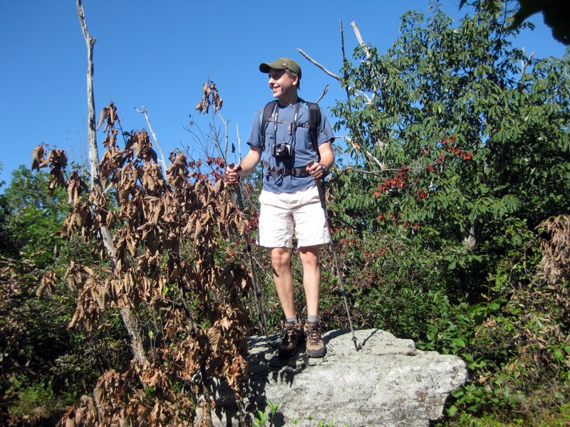
 Dan taking ... [photo by Laura] |
 ... this photo |
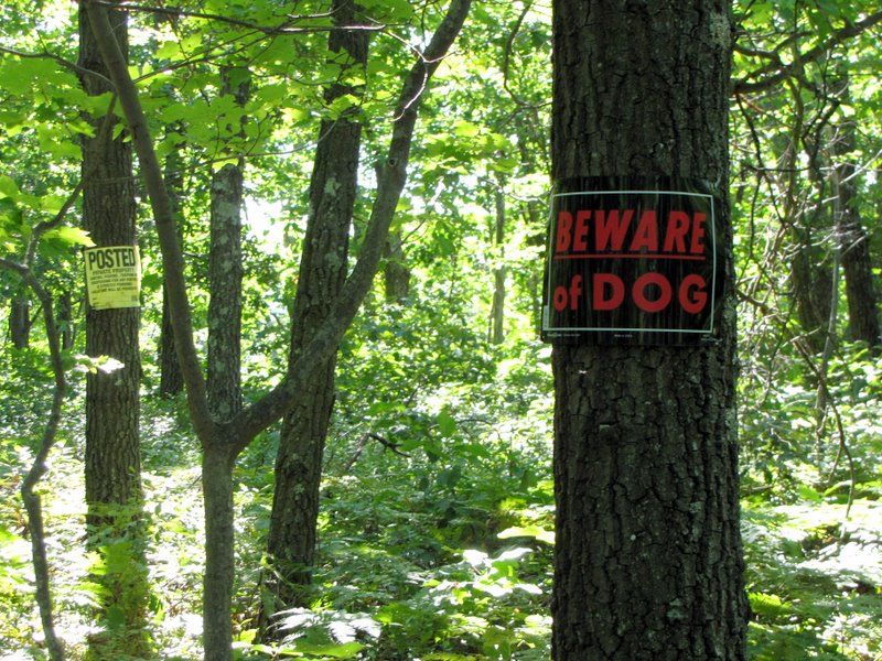 Didn't see the dog! |
 [Photo by Laura] |
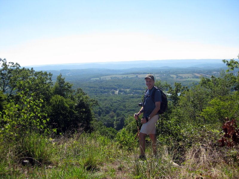
 Heading to the ridge |
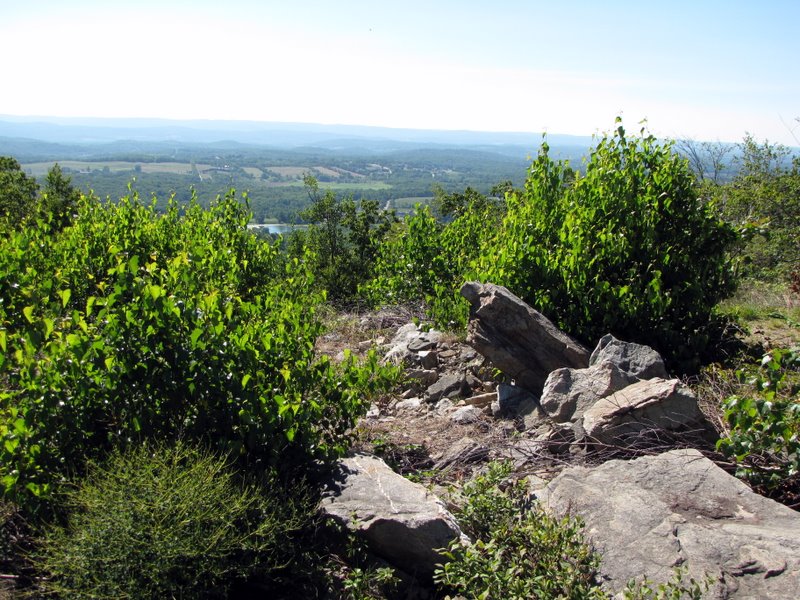
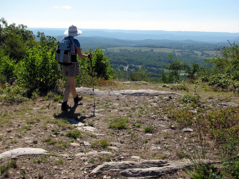 On the ridge |
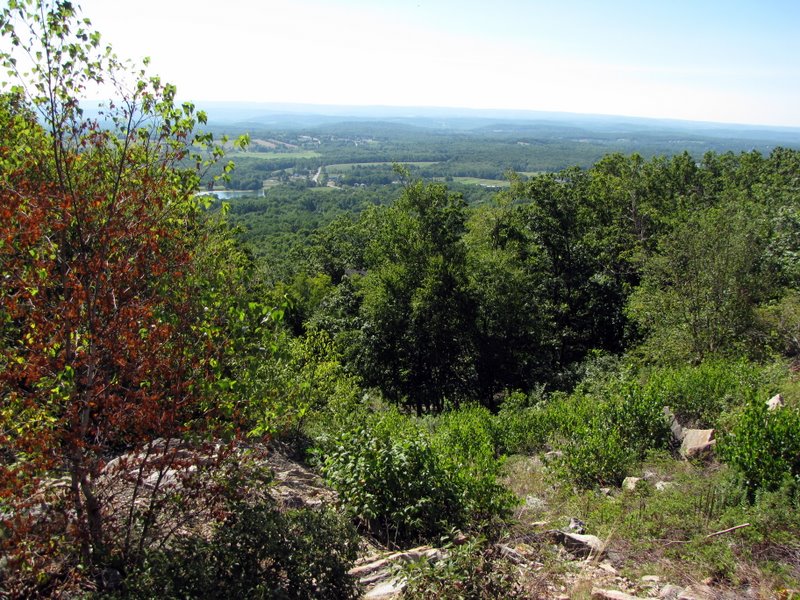
 Kittattiny Valley below |
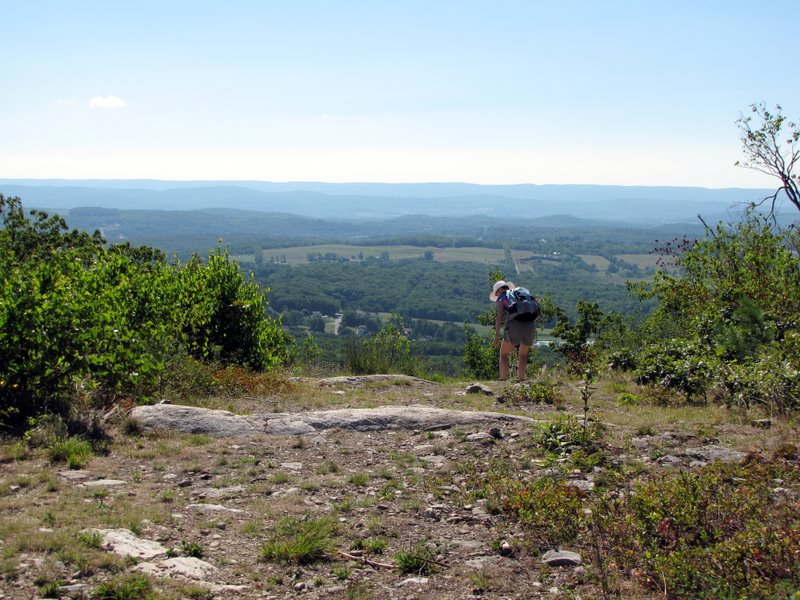 View SE |
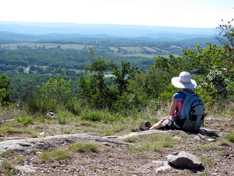 Taking in the view |
 |
 |
 [Photo by Laura] |
 |
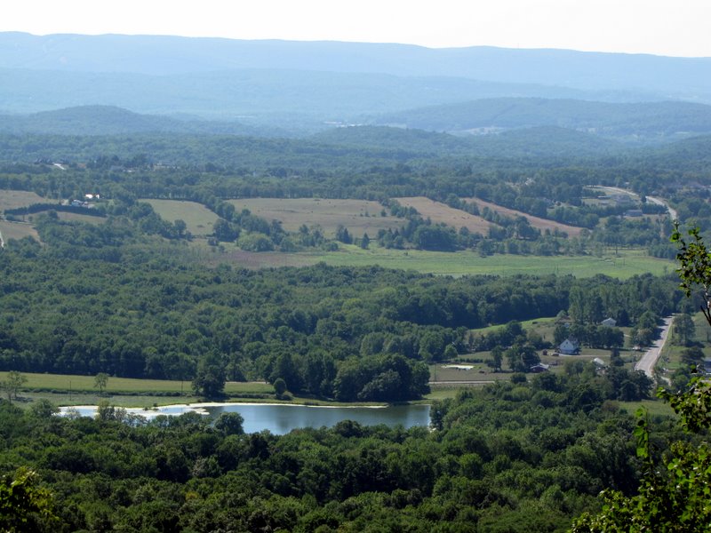 Jersey farmland |
 Antenna off trail |
 |
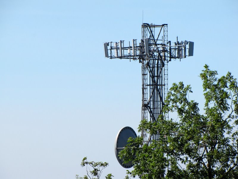 Antenna close-up |
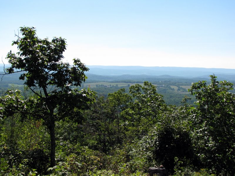
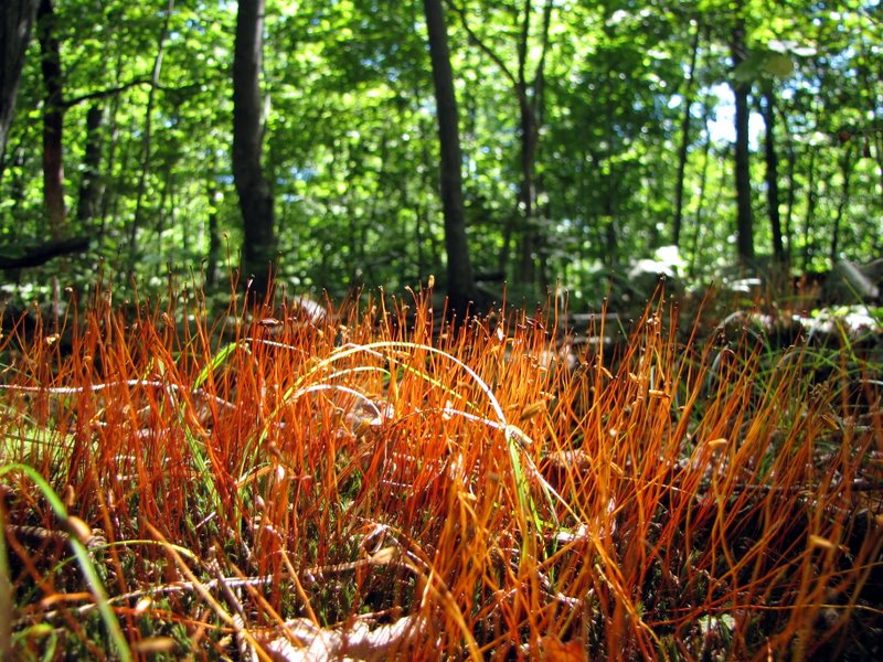
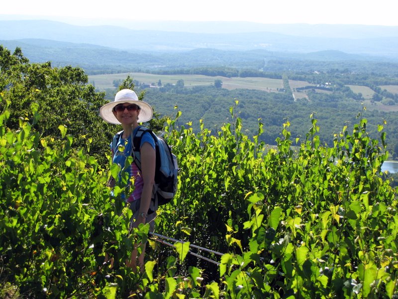 Lush vegetation on the ridge |
 |
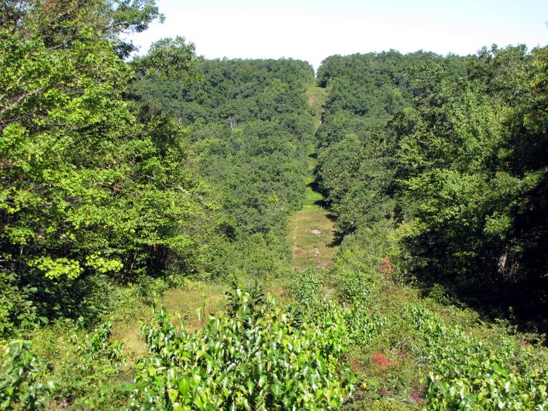 Gas line cut looking NW |
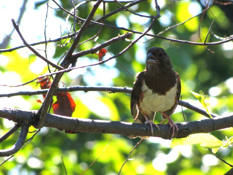 Curious bird |
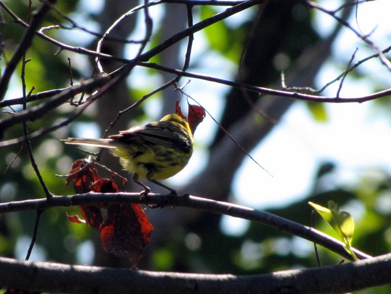 Not so curious bird |
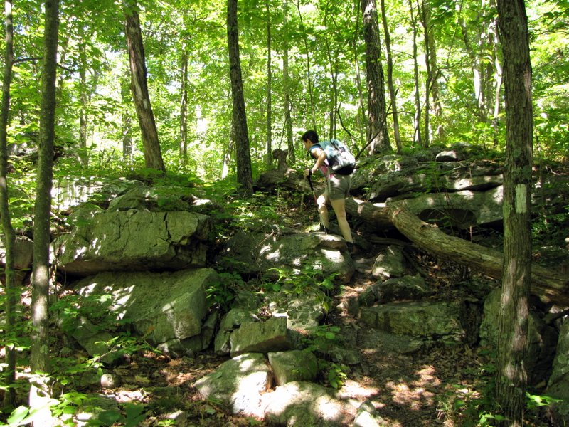
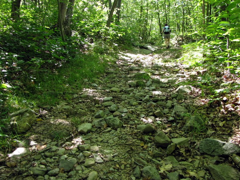
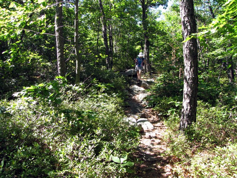 A rocky AT |
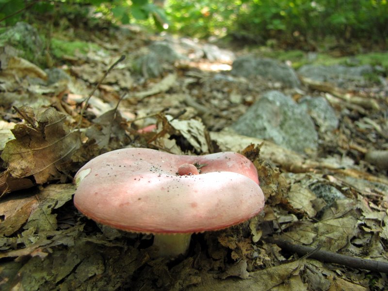 Trail mushroom |
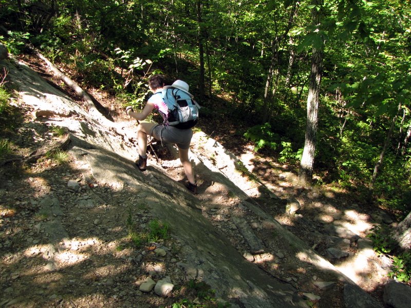 Short steep decline |
 [Photo by Laura] |
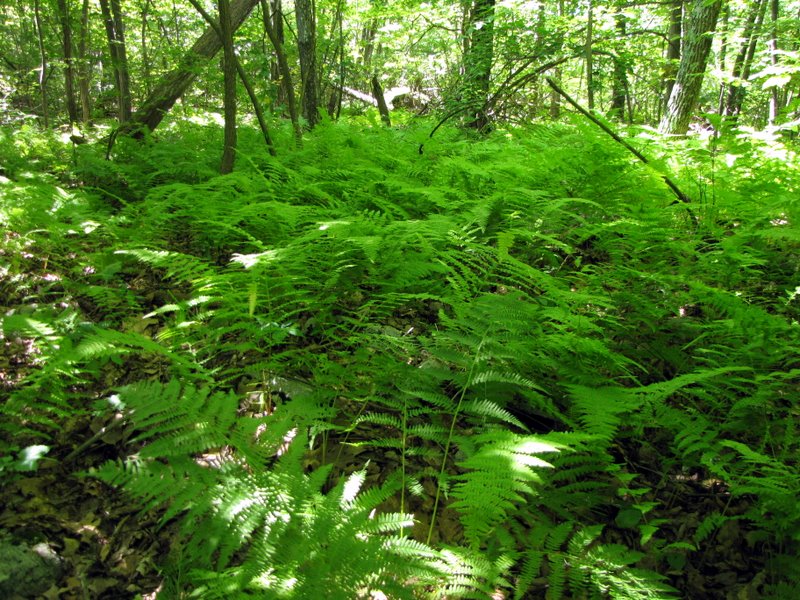 Green ferns |
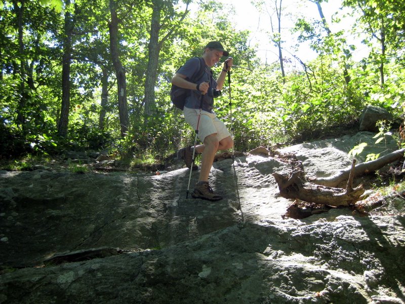
 Climbing again |
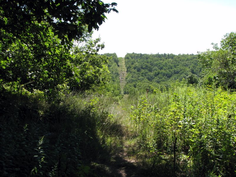 Gas line cut from Iris trail |
 |
 |
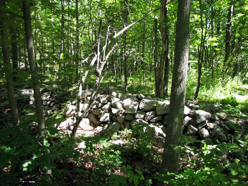 Stone wall ruins |
 |
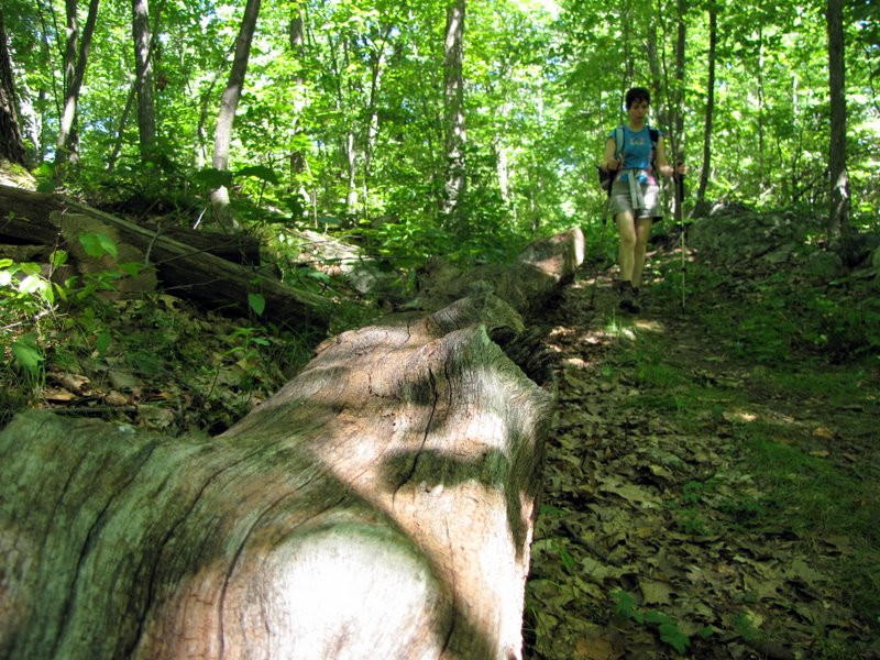 Downed tree |
 Bridge over tiny creek |
 |
 Mine tailings? |
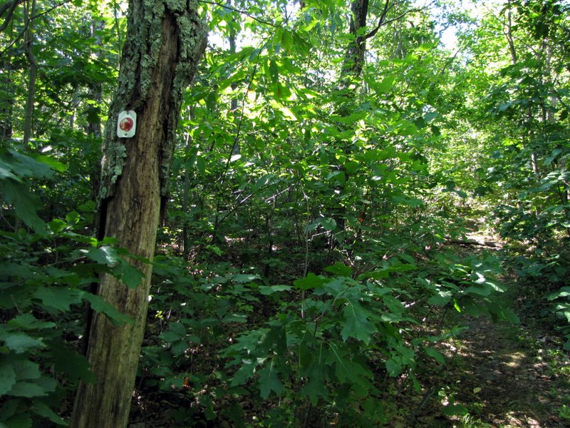
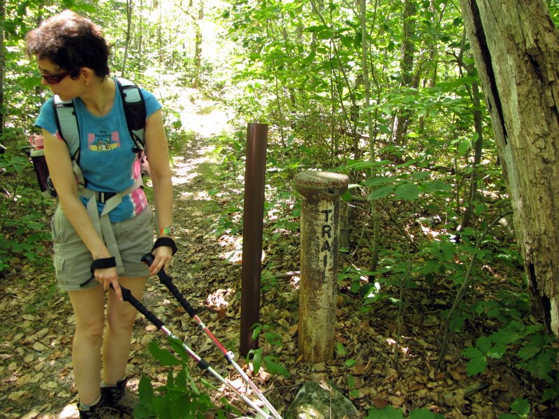 Sturdy trail marker |
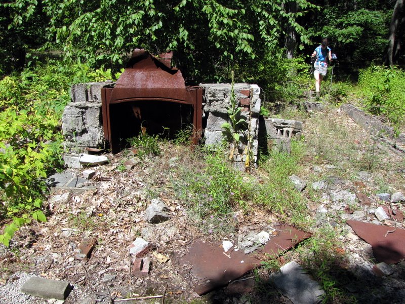 Ruins where only fireplace remains |
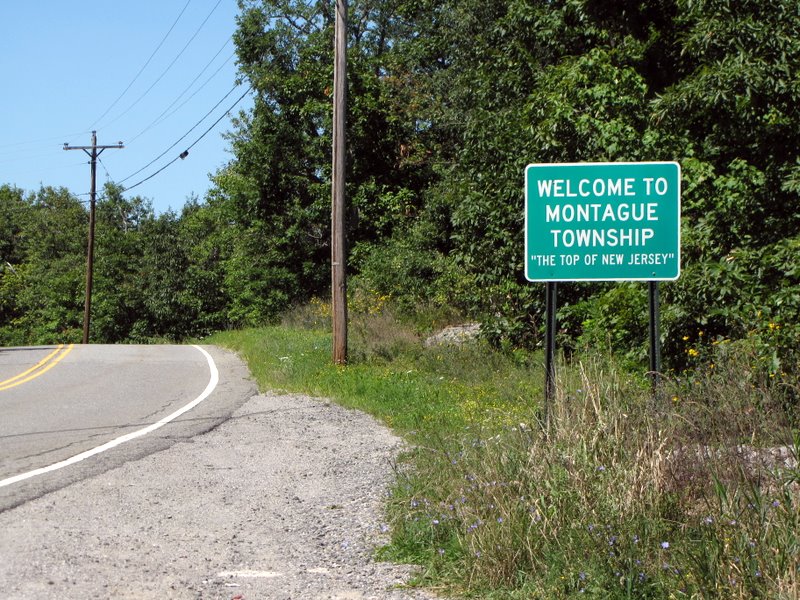 The Top of NJ |
 Woods road to shelter |
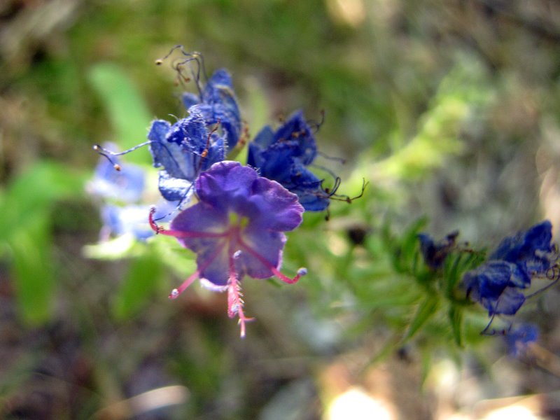 Tiny wildflowers |
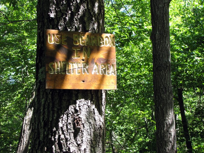 Bears love trash |
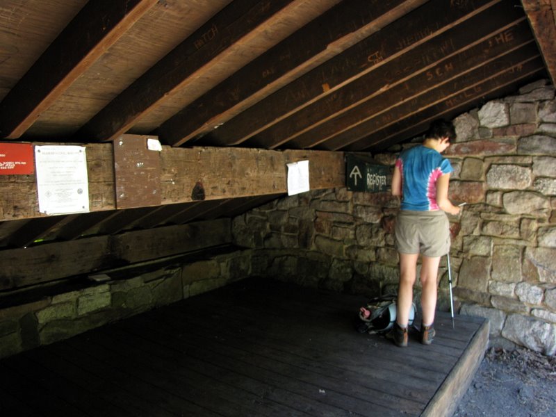
 Inside Mashipacong shelter |
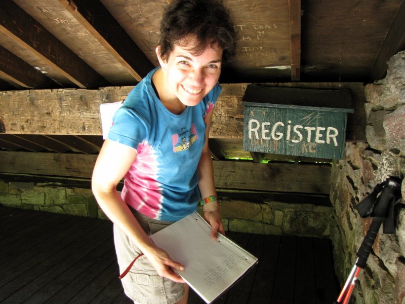
 Reading the journal |
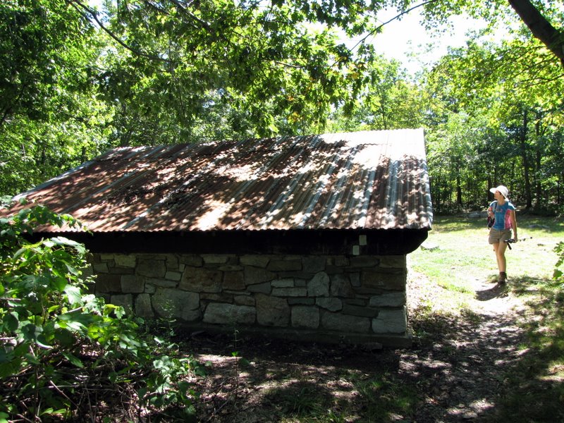
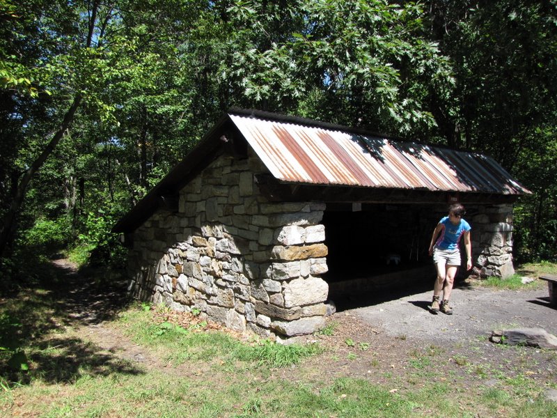 Nice sturdy shelter |
 |
 Heading back to car |
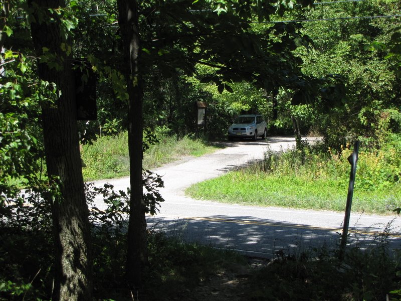 Parked across Route 650 |
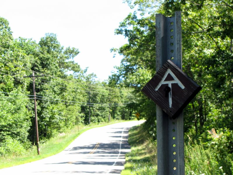 Looking south down Rt. 650 |

|
|
Photographs and content copyright © Dan Balogh Web design by Dan Balogh |