 |
|
It was another unseasonably hot day in New Jersey (high temperature about 10 degrees above the average) so we decided to keep it short and relatively level. We headed
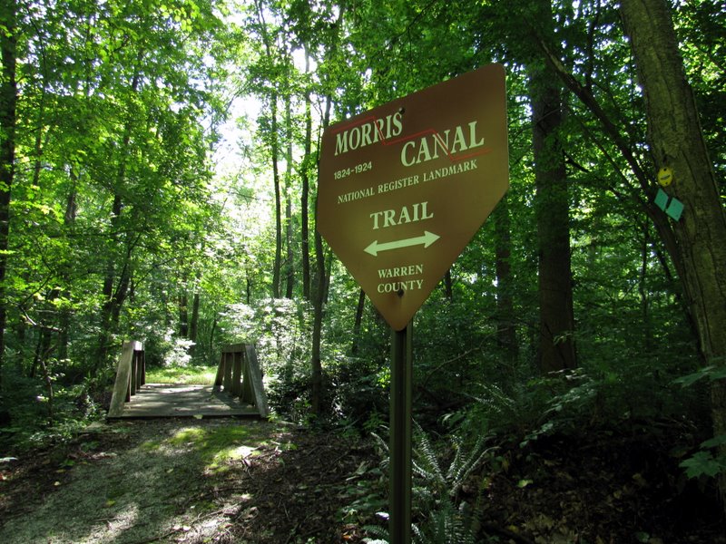
back to the Allamuchy area to hike a section of the Morris Canal Greenway.
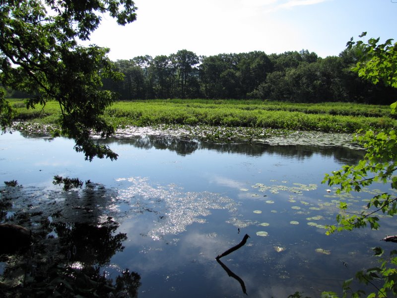
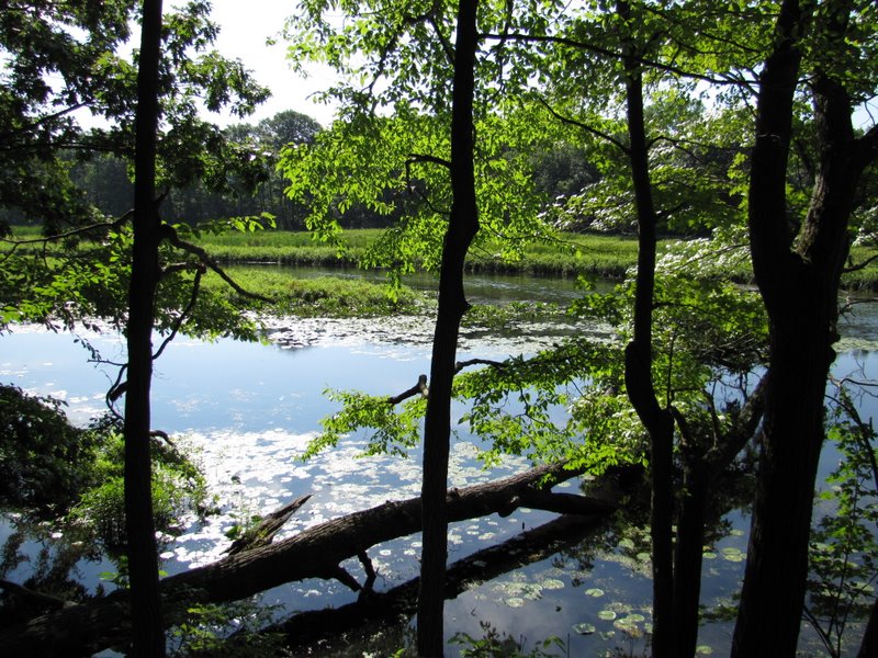
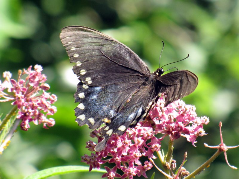
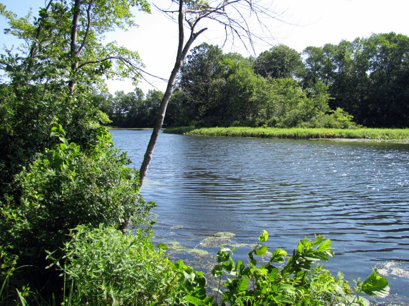
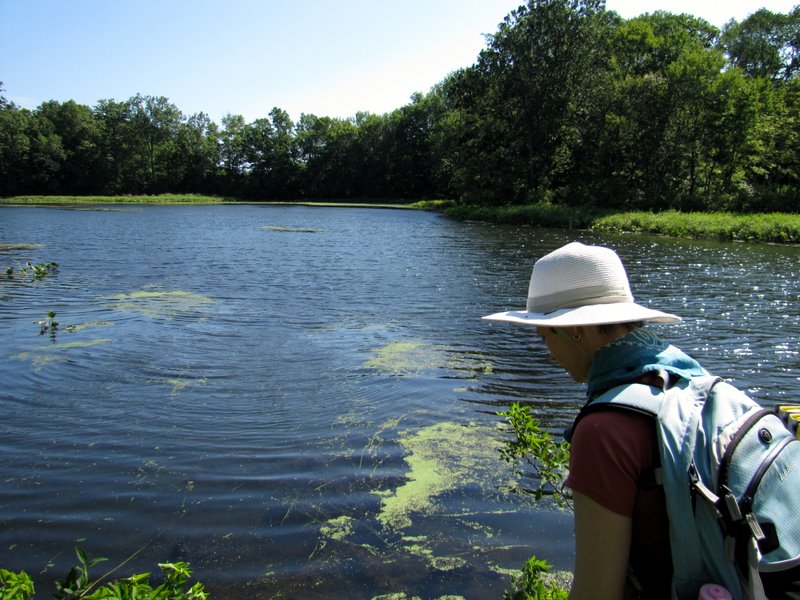
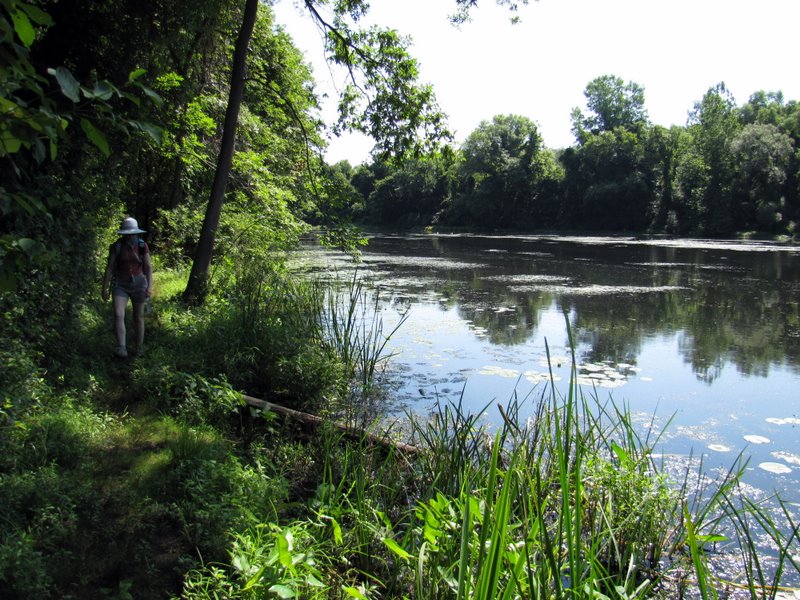
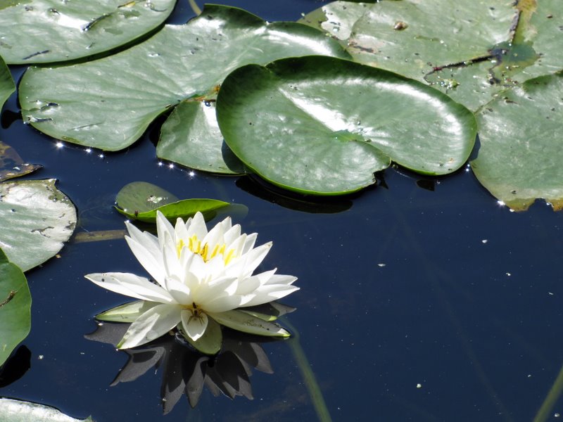
We parked at the lot on the southern side of CR 604 about a quarter mile south of Route 80. While Laura was still at the car getting ready for the hike, I decided to head down to the water for some photos. Before I was able to snap the second photo I was startled by an incredibly loud splash about 10 yards away from me coming from behind some vegetation on my side of the river! I thought it might have been a fisherman that accidentally fell in, but then I saw the origin of the splash, as a black bear made its way away from my side of the river, swimming over to the other side! This was the closest I ever came to a black bear, and the bear turned to look at me once or twice as he swam across. This is the third close encounter that we have had with black bears in two months, and all in New Jersey! After that thrill we began the hike, heading west along the canal towpath getting nearly all the way to Saxton Falls before we turned around and headed back, mostly because the narrow towpath was completely blocked by a huge fallen tree. We could have gotten through with a bit of stratches but decided to come back and next time part at Saxton Falls and do more walking from that lot. We did manage to make it to the vista denoted on the NYNJTC map for Central Jersey (map 126) just east of Saxton Falls. This area is lovely, with the very narrow towpath surrounded by water on both sides, and on both sides covered with lily pads and lotus flowers. The only drawback of today's hike was the necessity of walking along Route 604 in one small section and one larger section. But we had lots of fun nonetheless, seeing the bear, a deer, turtles, frogs, geese, a young hawk and a multitude of insects (they were out in force today). Total distance hiked today was 5.5 miles in about 2 3/4 hours.
|
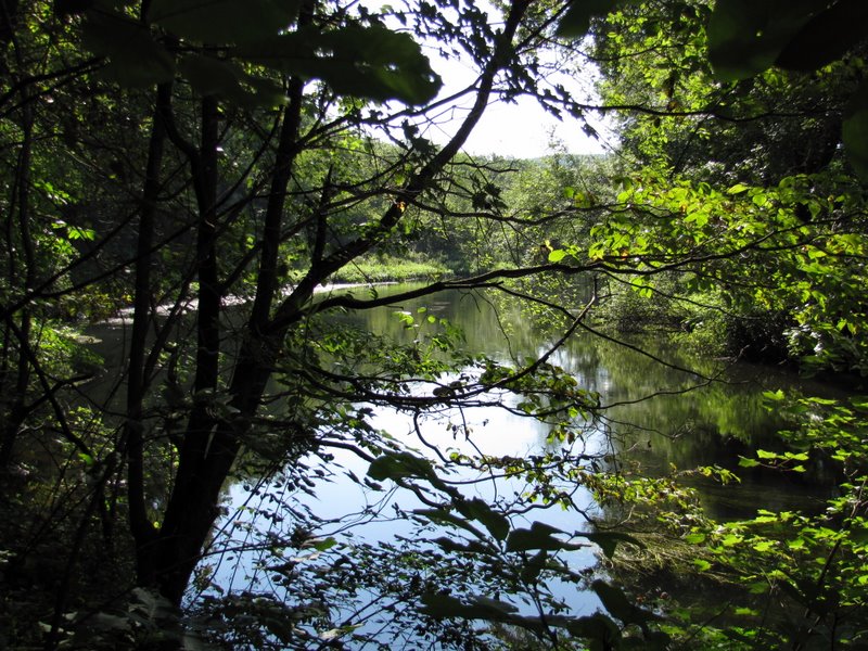
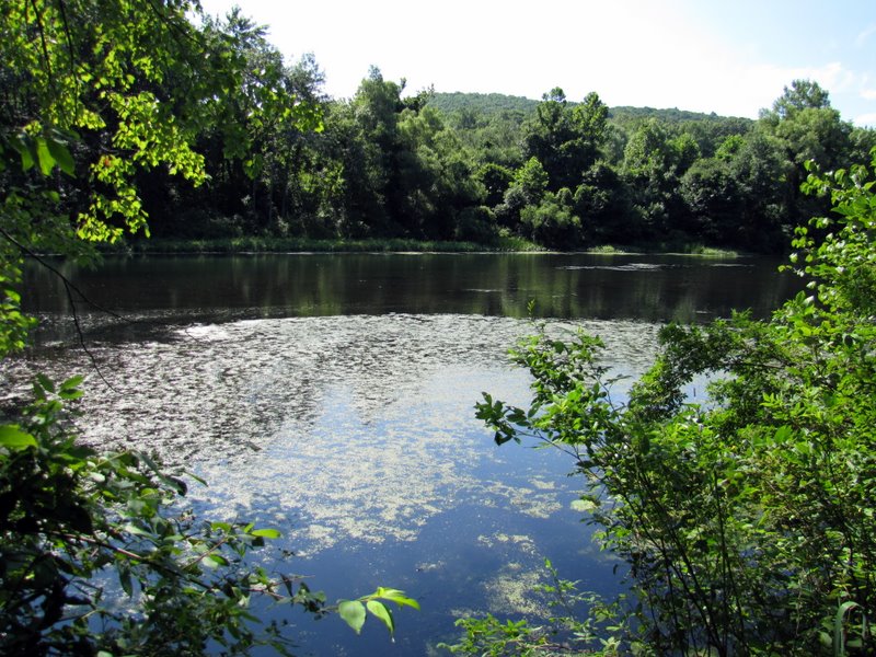
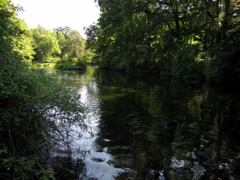 View NE up Muscenetcong River |
 Black bear swimming across! |
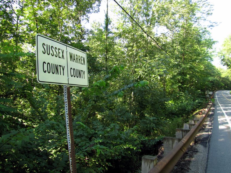 County boundary |
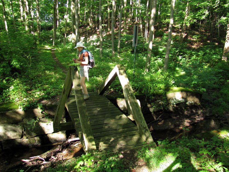
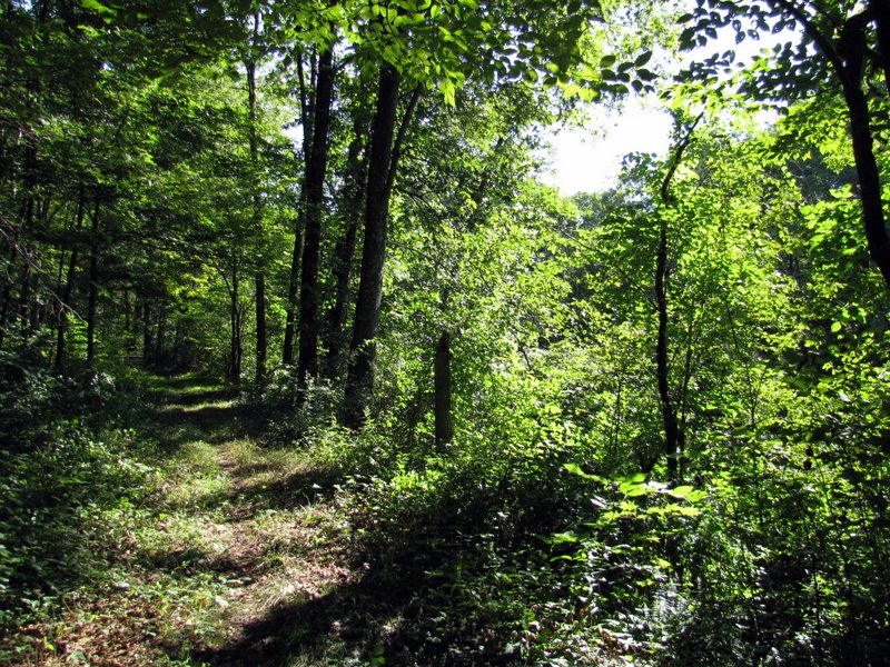
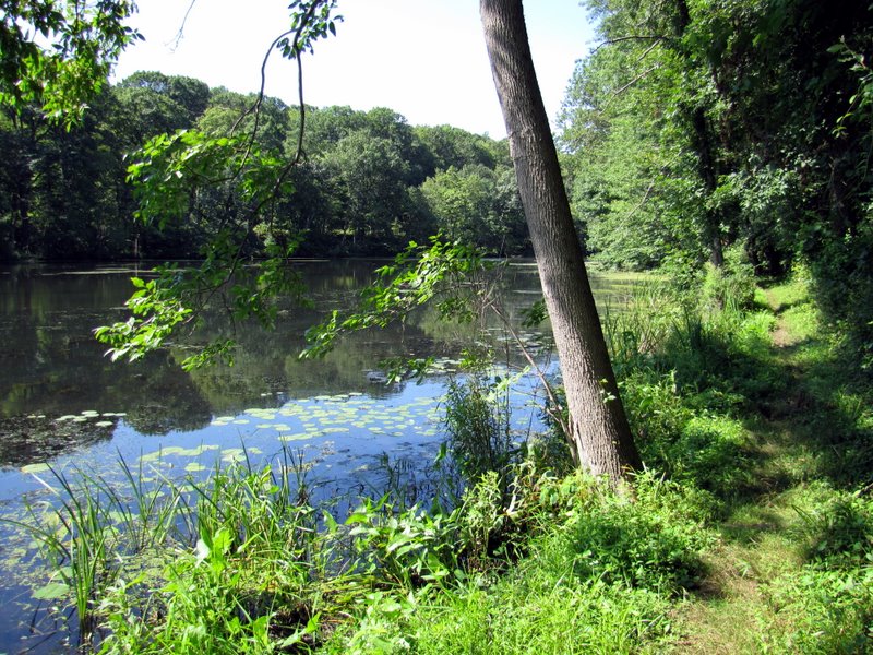
 Heading west on towpath |
 Morris Canal ... |
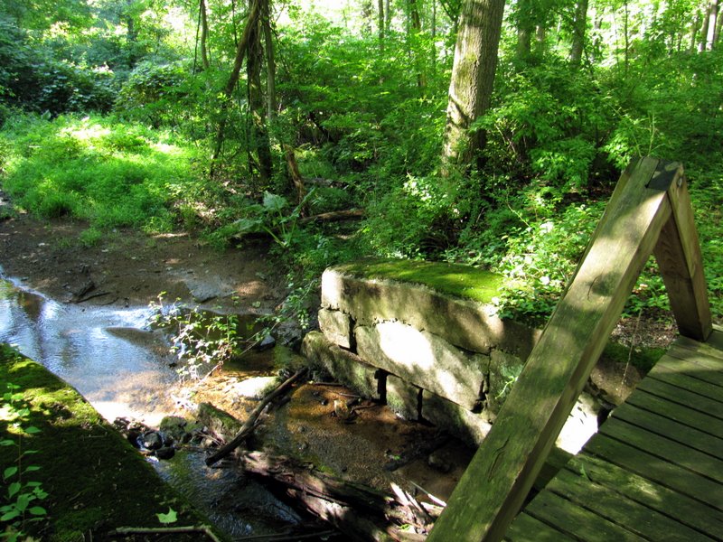 ... Waste Weir |
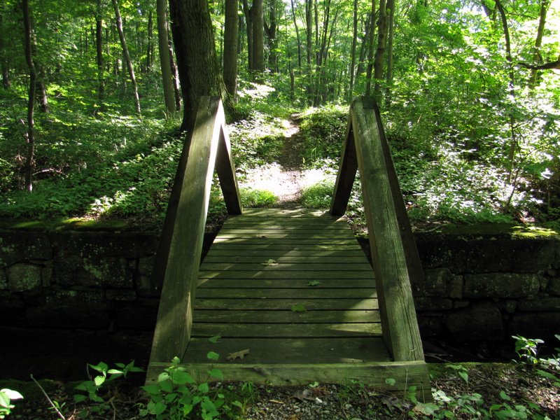 It was used ... |
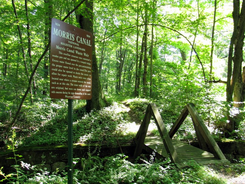 ... for overflow |
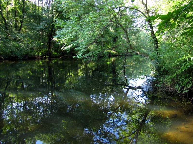
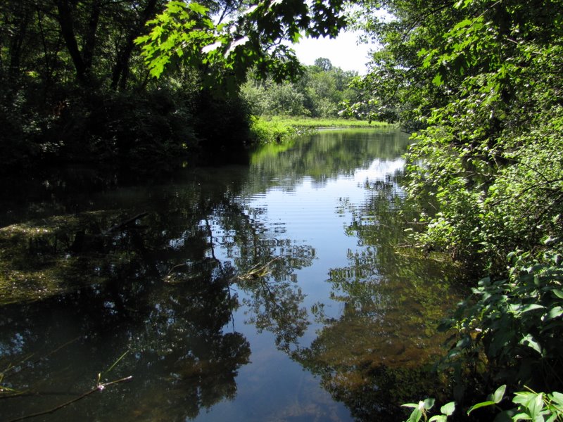
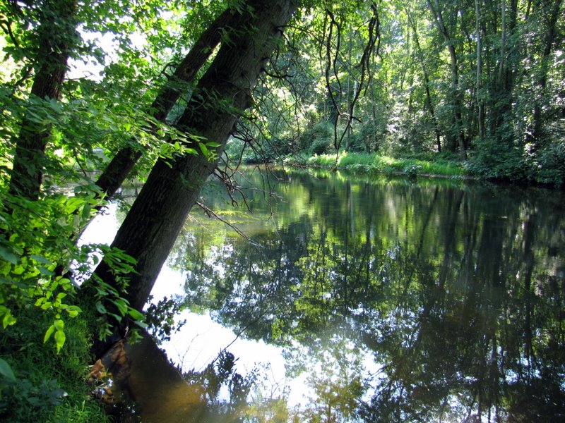 Muscenetcong River |
 |
 |
 |
 |
 |
 Stephen's State Park mountains |
 |
 Canal crossed over ... |
 ... CR 604 here |
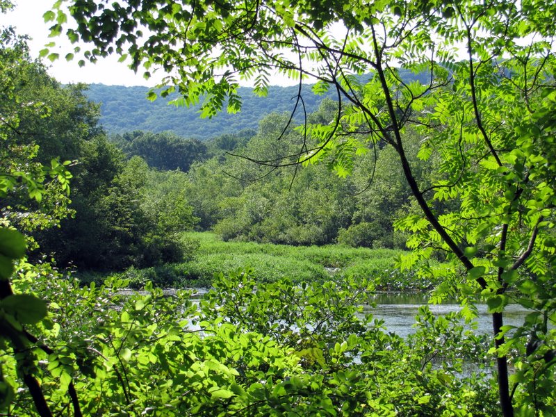
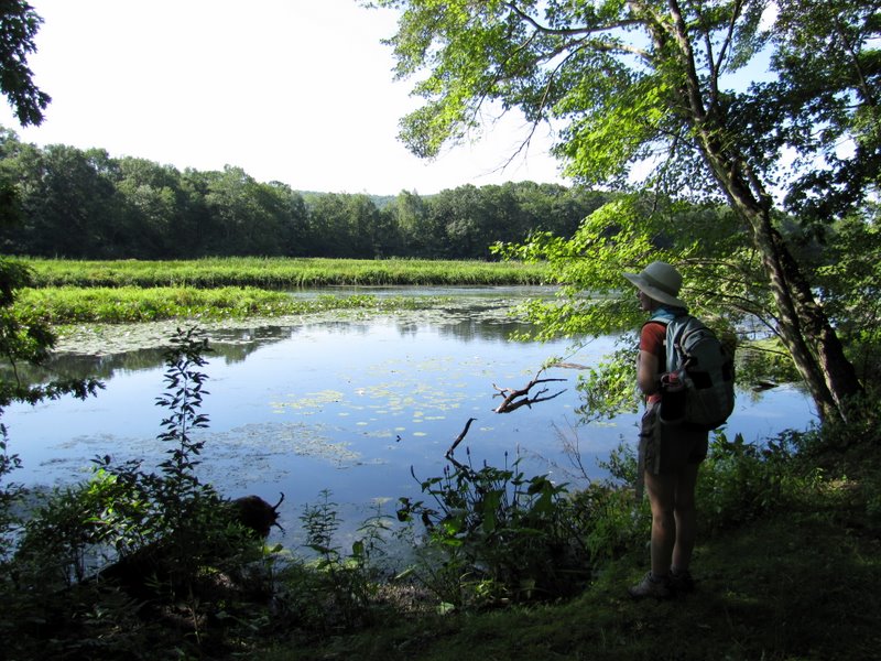 Gorgeous views ... |
 ... of Saxton Lake |
 |
 |
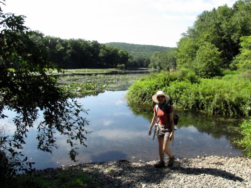
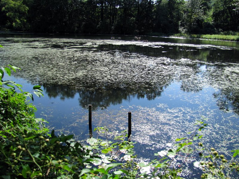
 Saxton Lake |
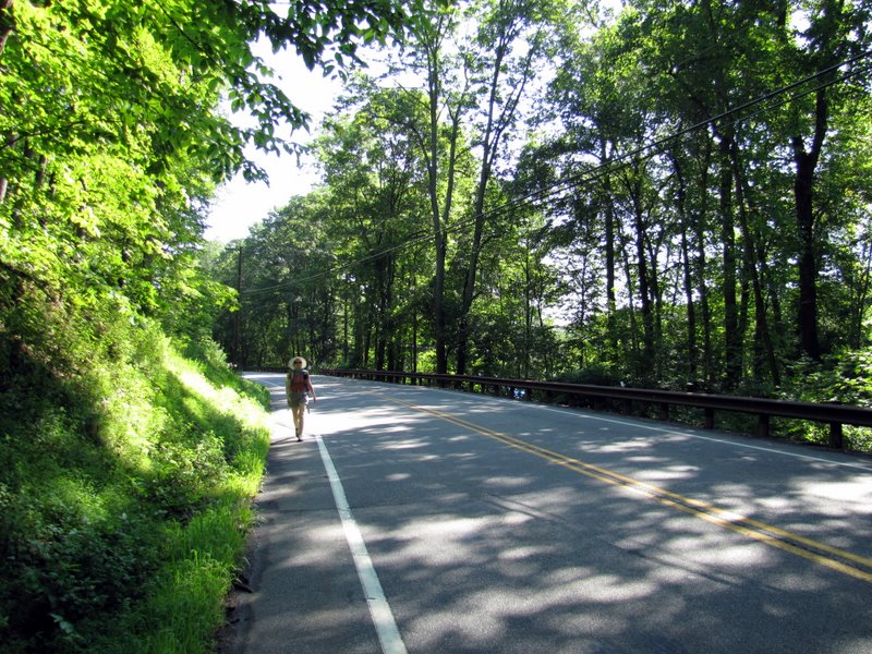 Walking on CR 604 |
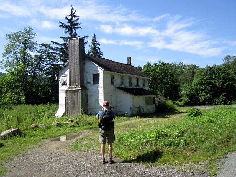 Lock tender's house [photo by Laura] |
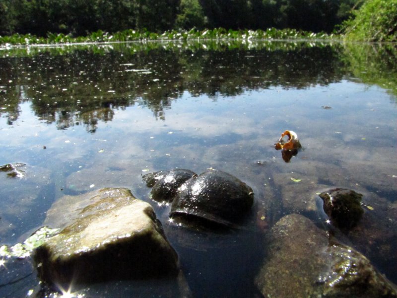 Snail |
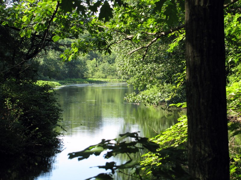
 The Muscenetcong |
 |
 |
 The Greenway blaze |
 |
 |
 |
 |
 Canada geese |
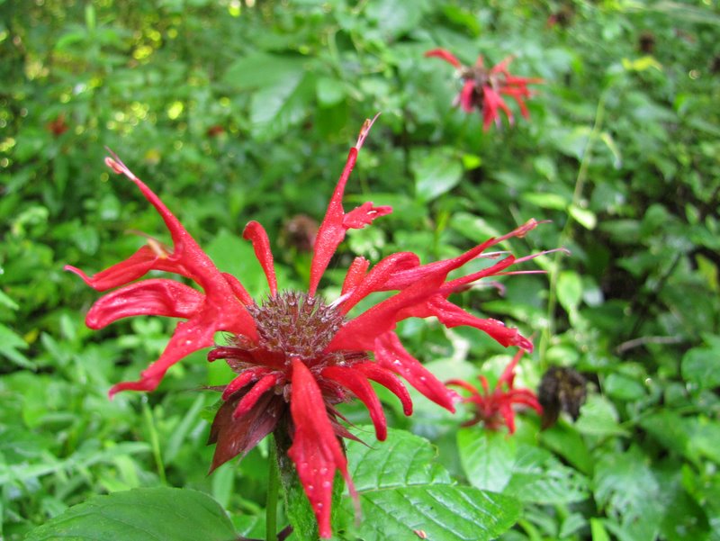
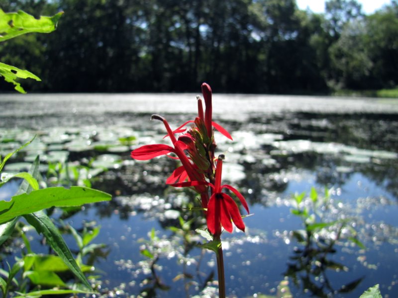
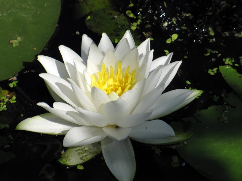 Lotus flower |
 View from "star" vista |
 |
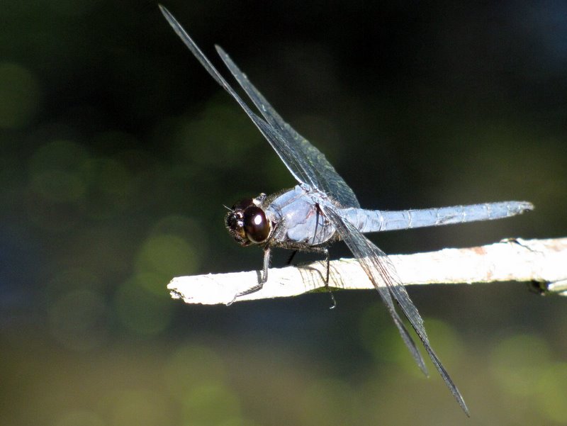 Dragonfly |
 |
 |
 Highlands Trail and Greenway co-aligned |
 |
 |
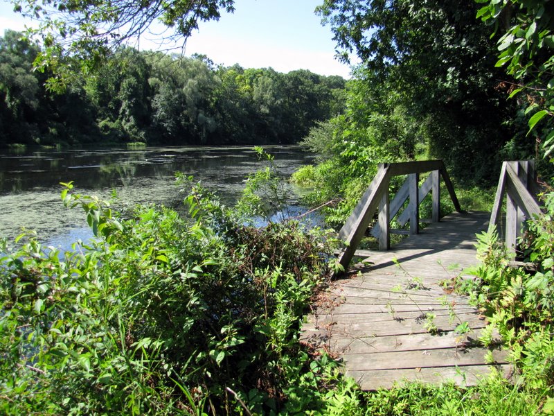 Bridge just east ... |
 ... of Saxton Falls |
 Geese and turtle |
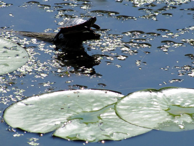 Lone turtle |
 |
 View toward Saxton Falls |
 |
 |
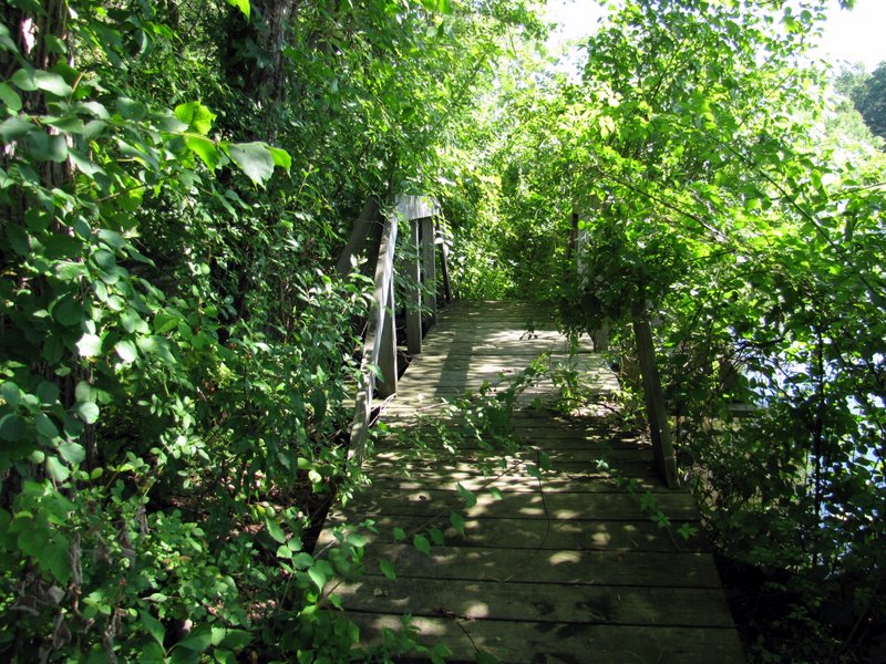
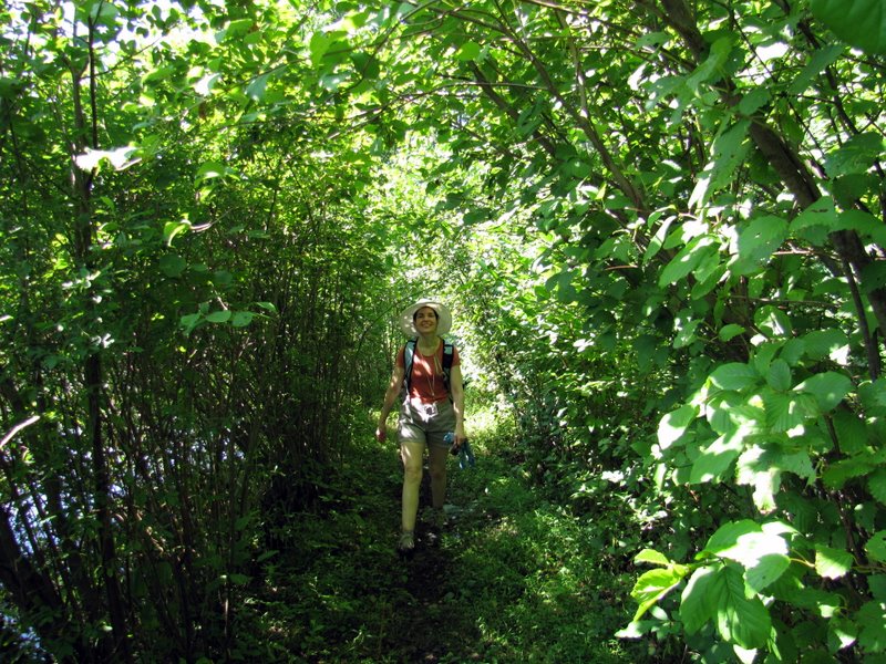 Lush vegetation in some parts |
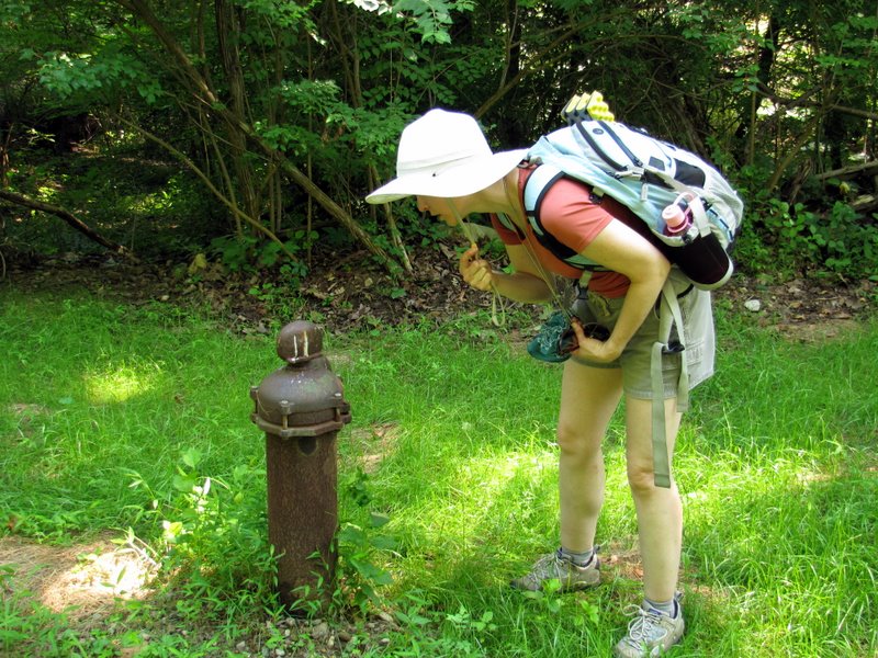 Old pump |
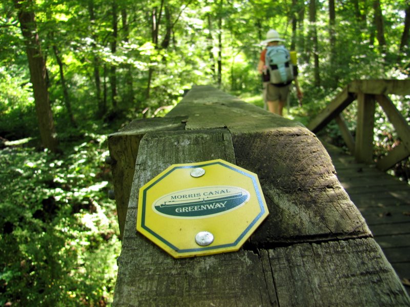 Blaze on bridge |
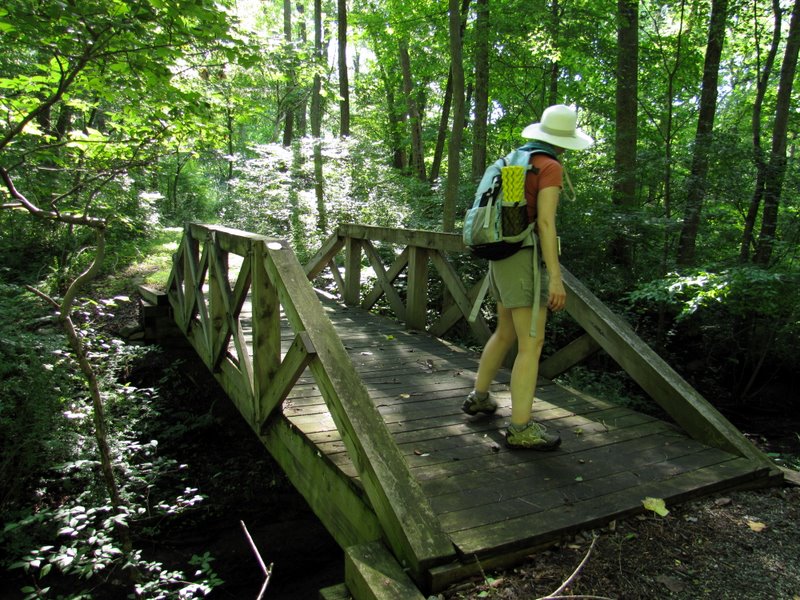
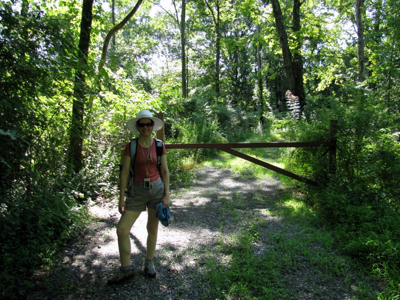
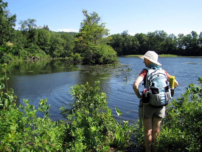
 Dan on bridge [photo by Laura] |
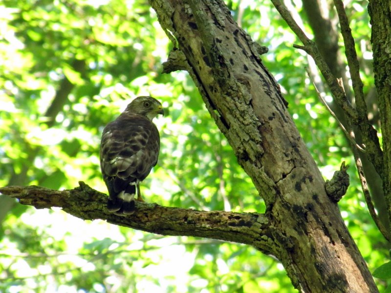 Young hawk |
 |
 Submerged platform |
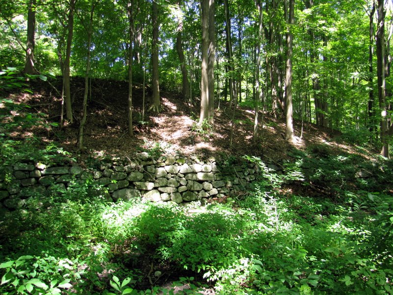 Canal wall |

|
|
Photographs and content copyright © Dan Balogh Web design by Dan Balogh |