 |
|
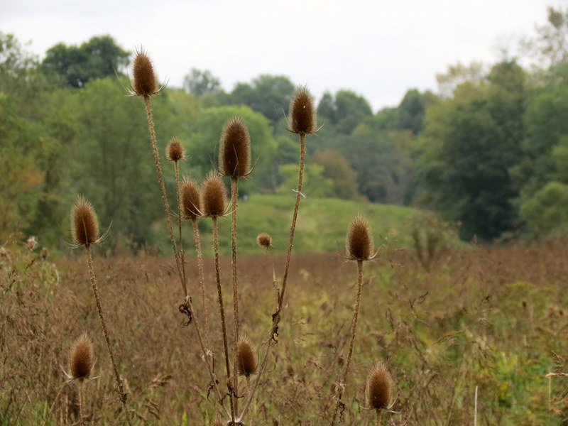
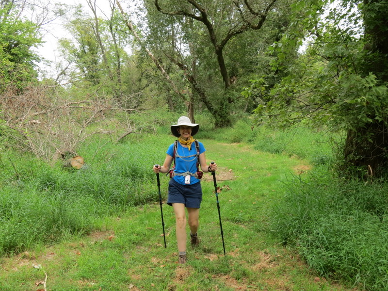
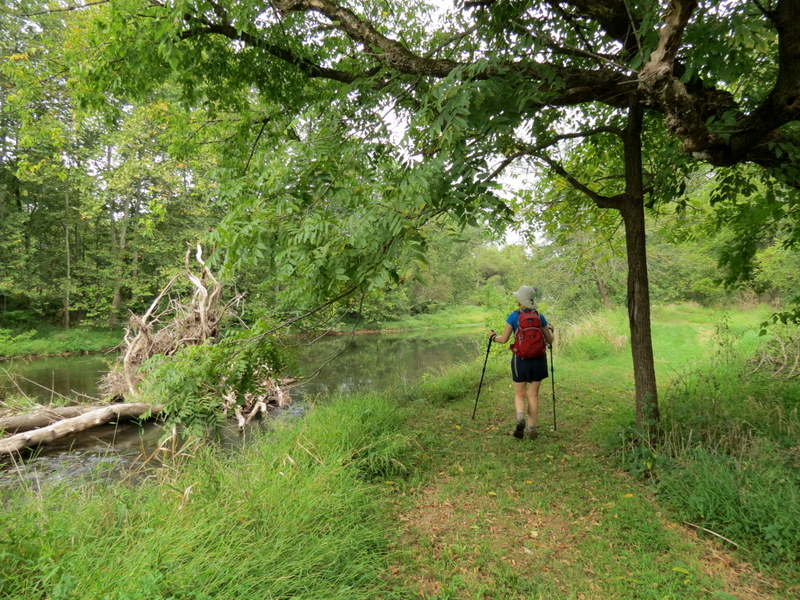
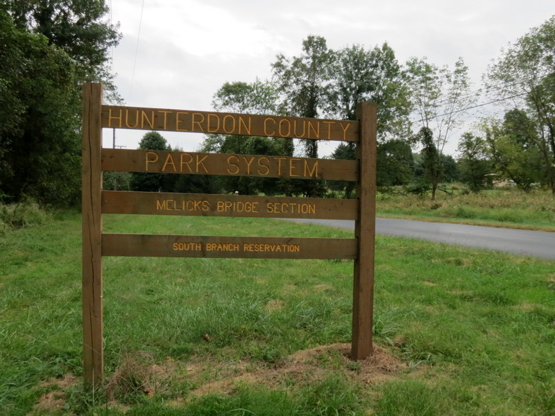
Last week we hiked the beautiful Stanton Station Section of the South Branch Reservation. Today we returned to hike four more sections very near each other. This is the
third of those sections.
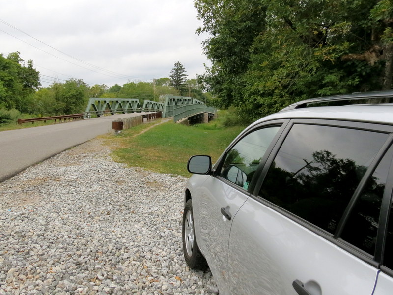
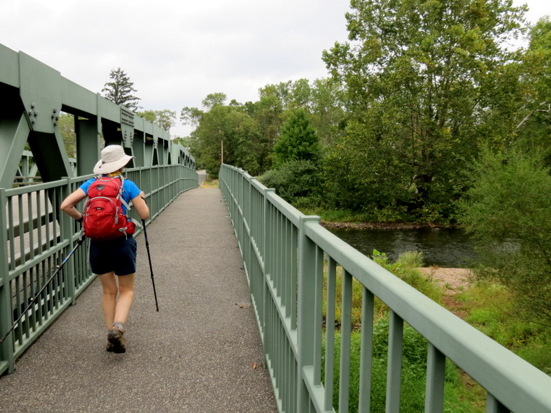
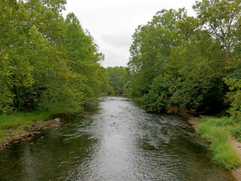
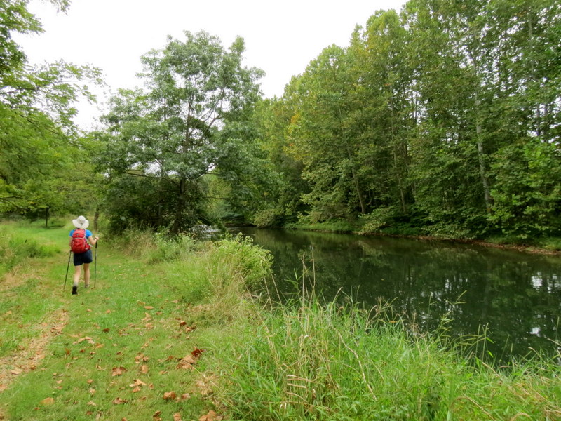
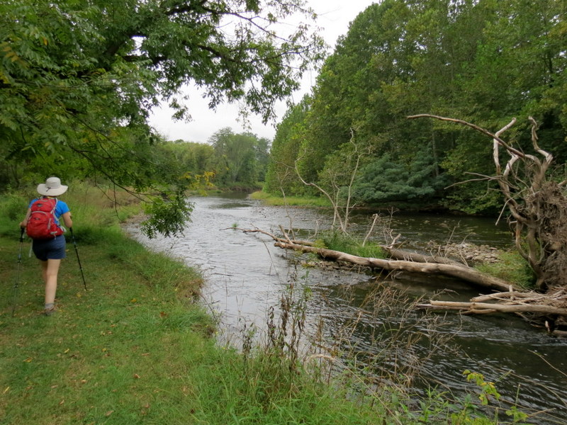
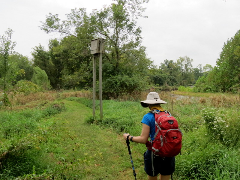
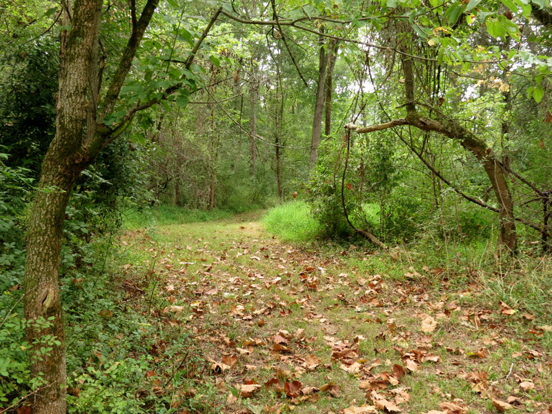
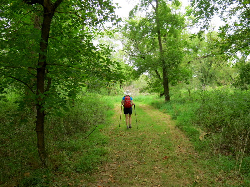
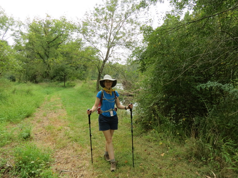
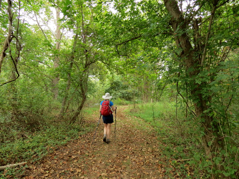
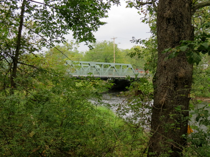
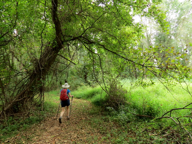
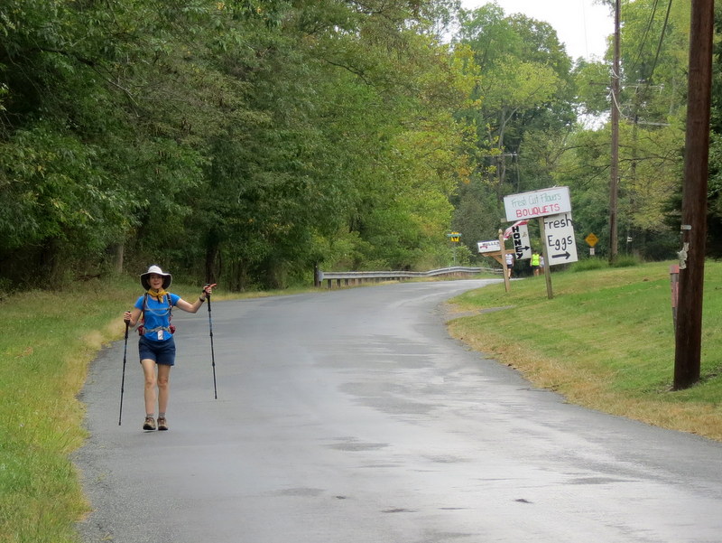
Using this map, we parked in the gravel pull-off on the eastern shoulder of Hamden Road, south of the river. We crossed the bridge and hiked the out-and-back north of the river, which actually goes much further than is shown on the map. While the map shows 0.2 miles, the trail is at least 0.5 miles from Hamden Road to its southern end. We next retraced out steps and then hiked the oval trail south of the river. Total distance for this hike was 1.5 miles in about 40 minutes.
|
 |
 |
 |
 |
 |
 |
 |
 |
 |
 |
 |
 |
 |
 |
 |
 |
 |
 |
 |
 |
 |
 |
 |
 |

|
|
Photographs and content copyright © Dan Balogh Web design by Dan Balogh |