 |
|
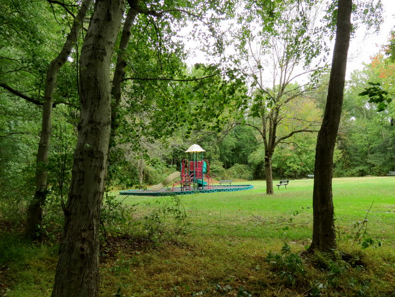
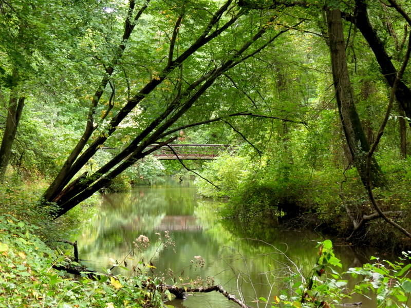
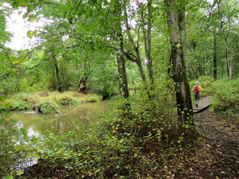
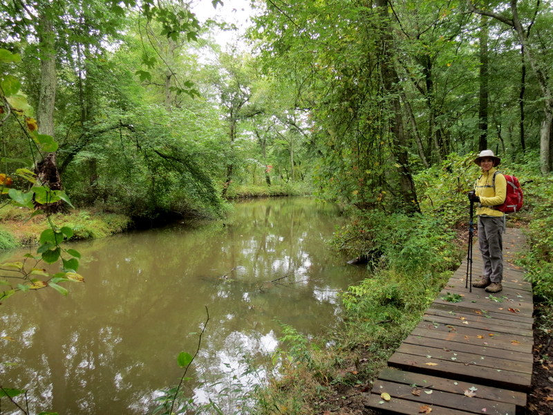
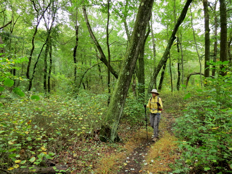
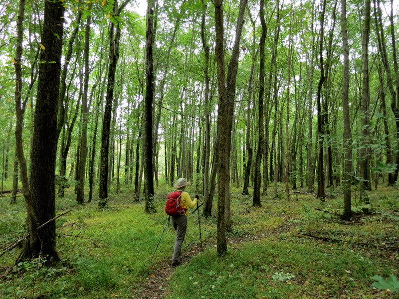
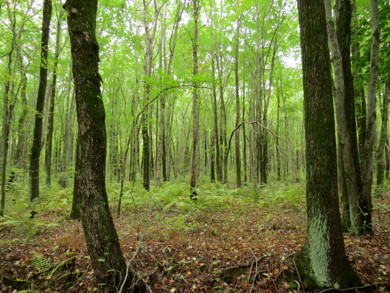
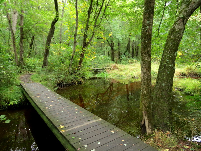
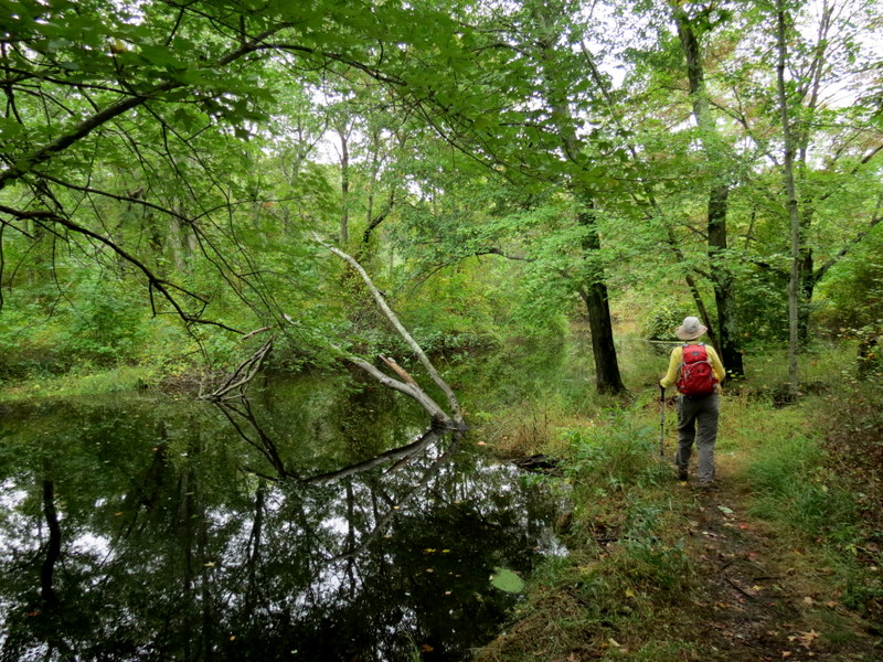
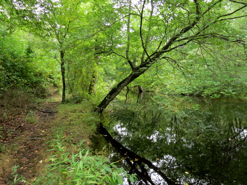
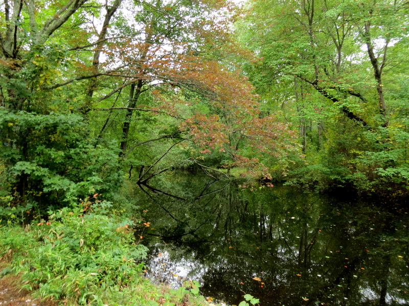
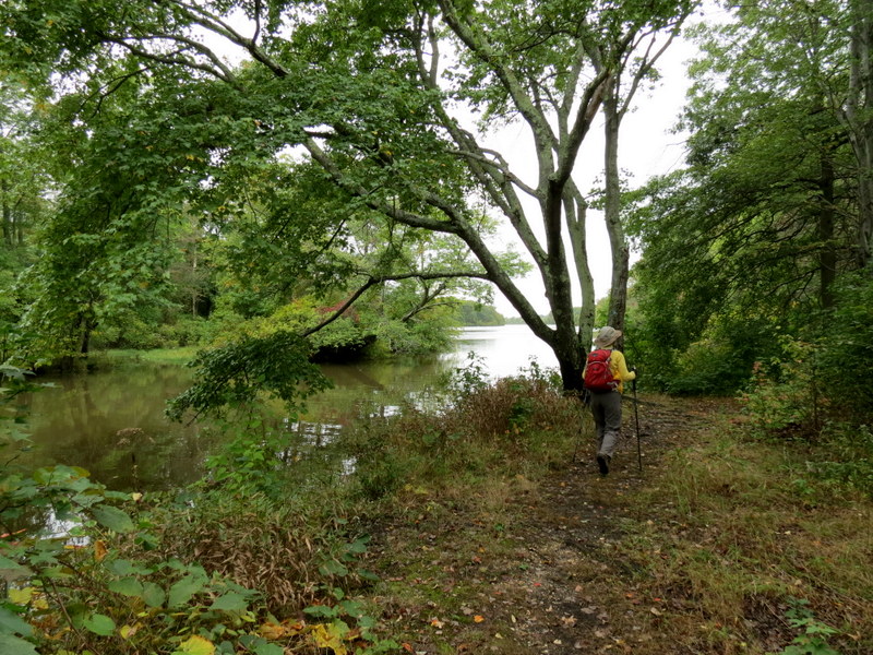
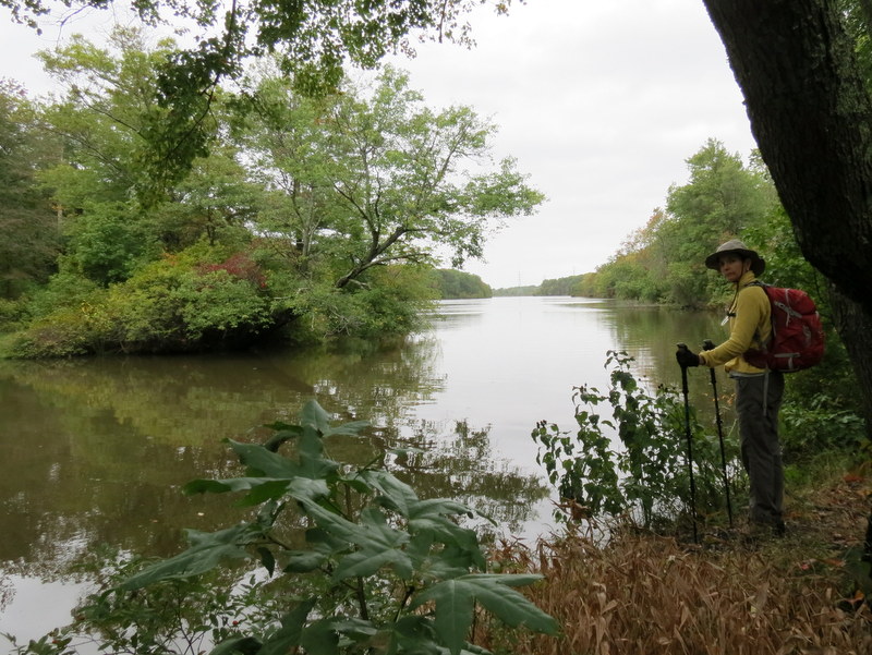
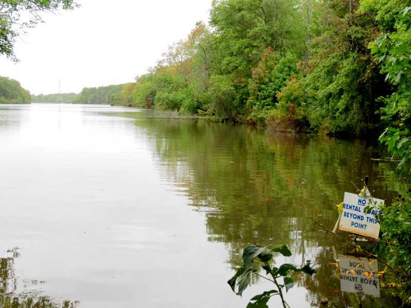
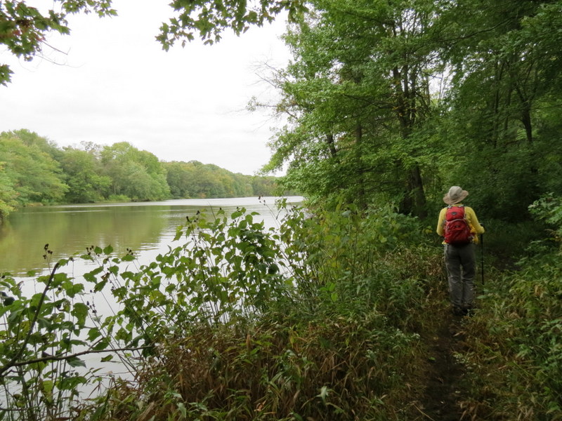
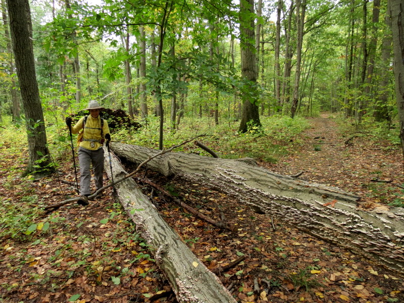
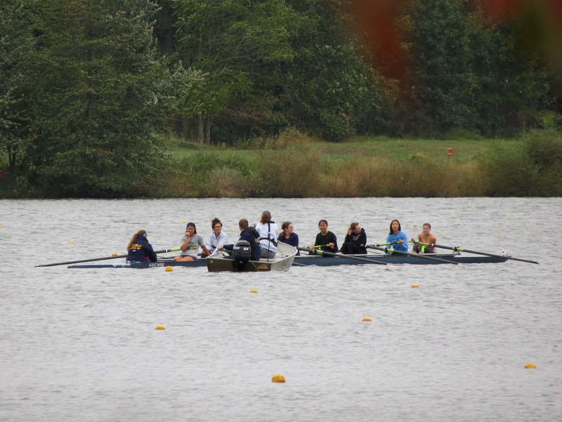
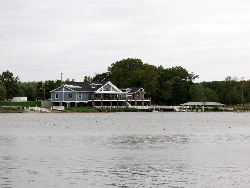
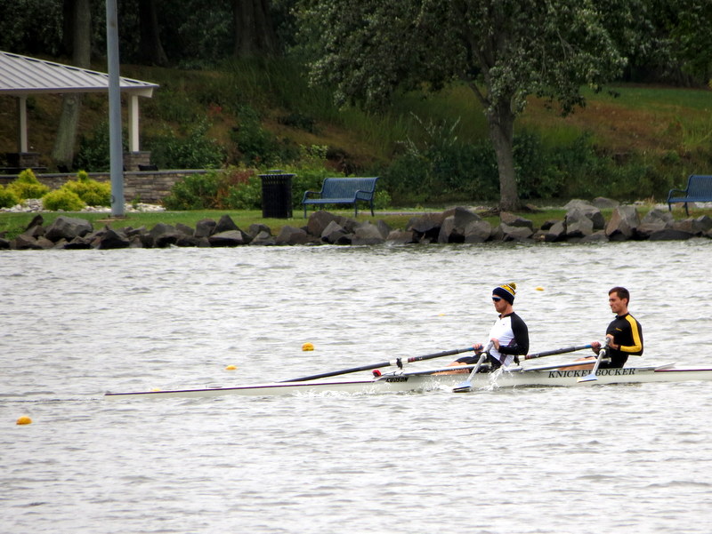
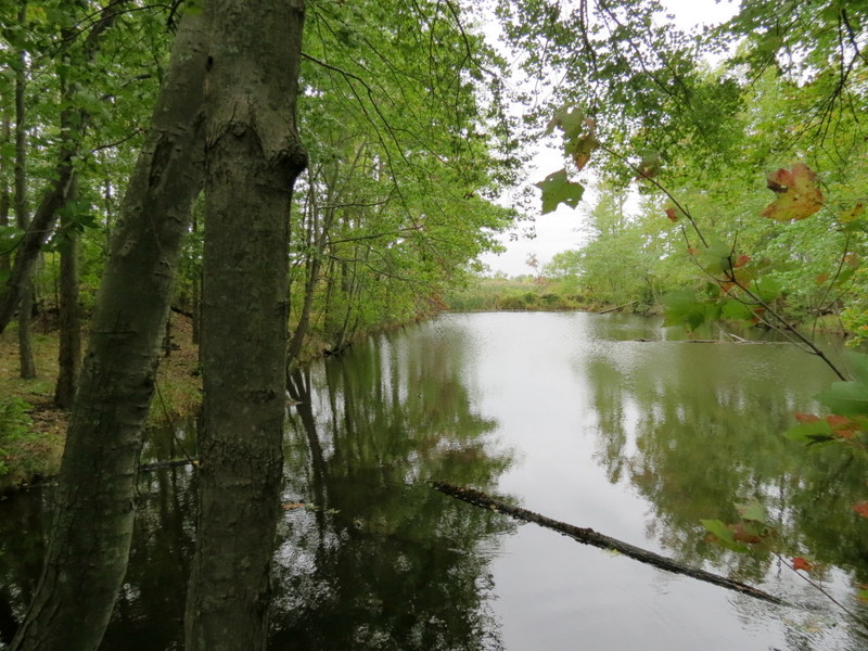
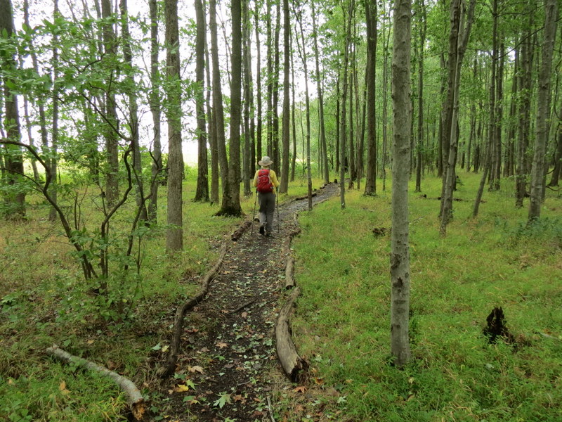
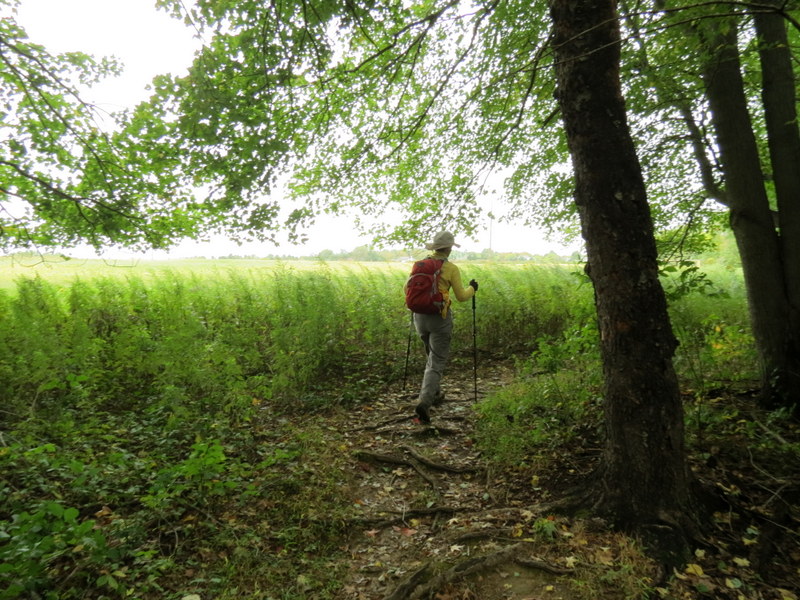
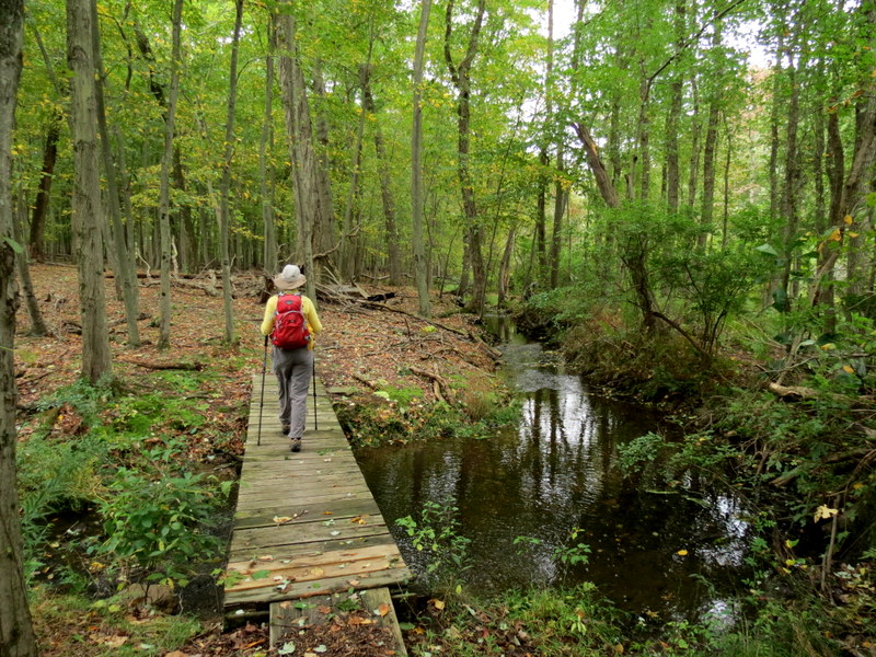
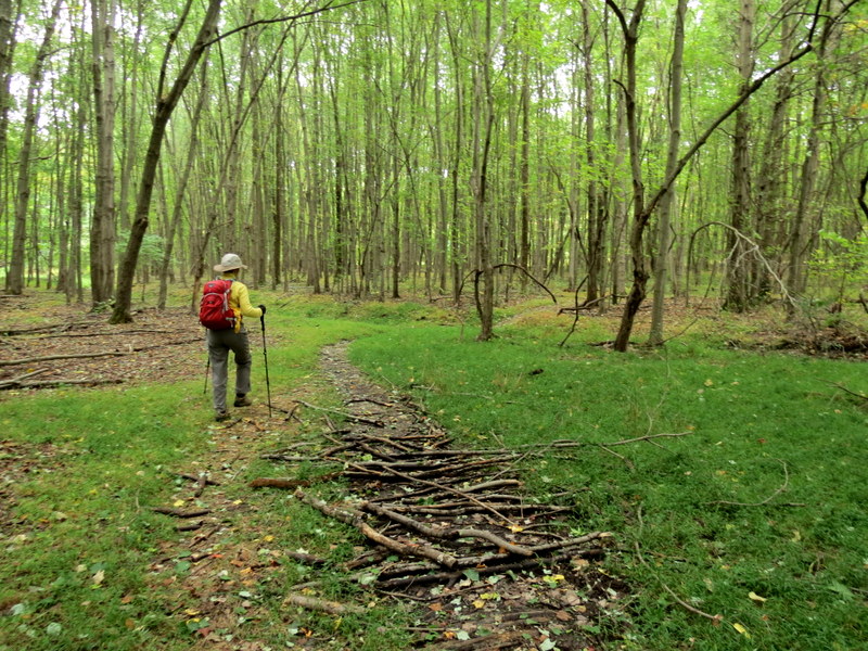
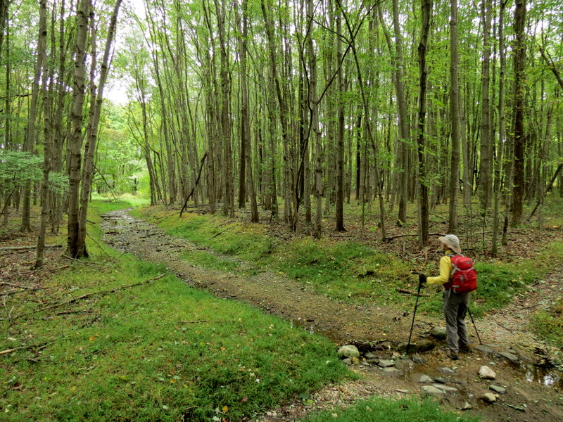
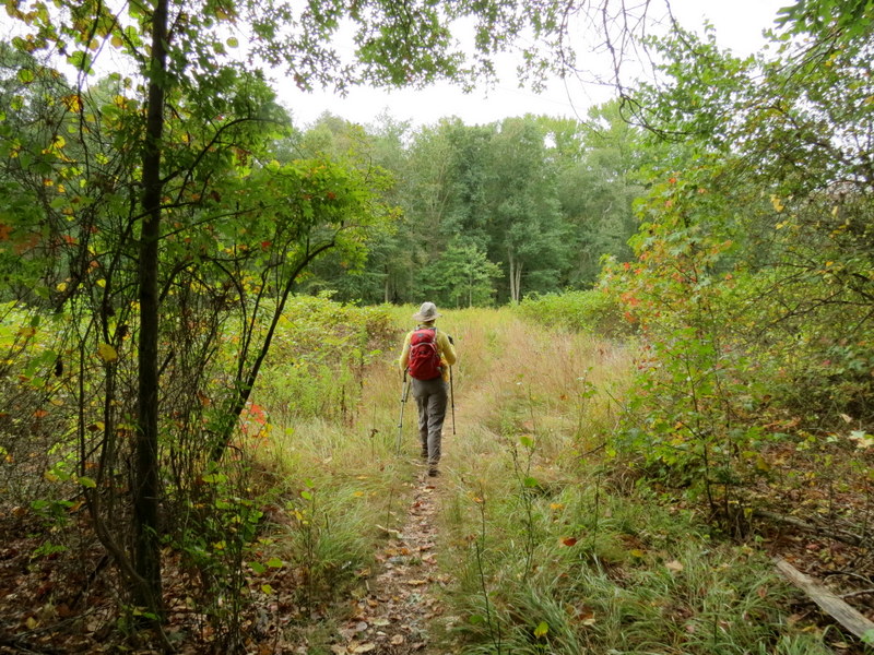
We had never hiked this county park before and prefer to stay away from built-up parks like this. But this one was an incredible surprise.
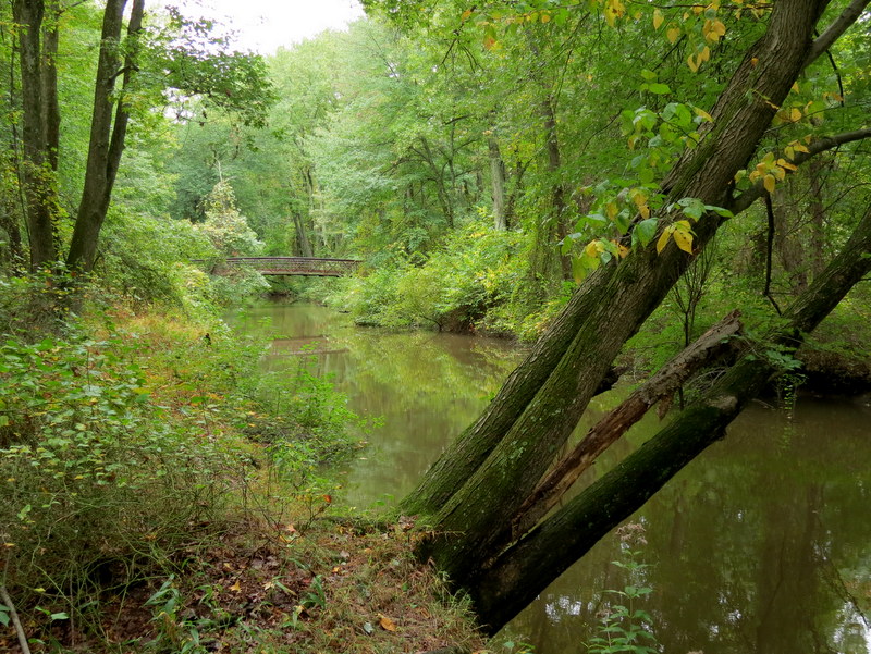
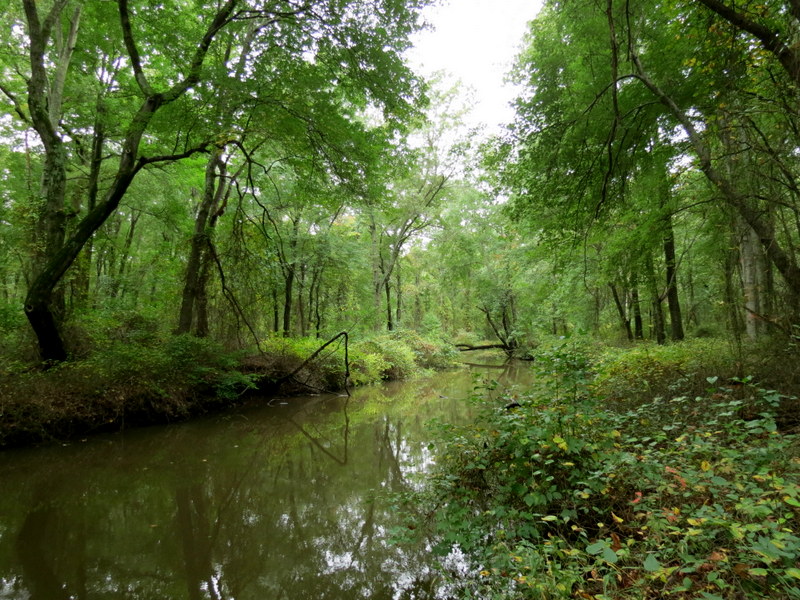
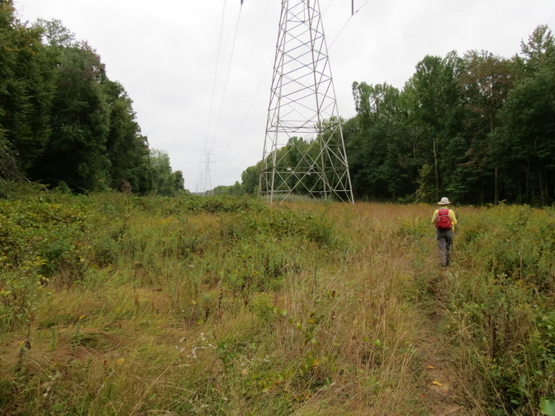
Two minutes after leaving the busy parking area, we didn't see another person for the entire three hours plus! And the trails in here are
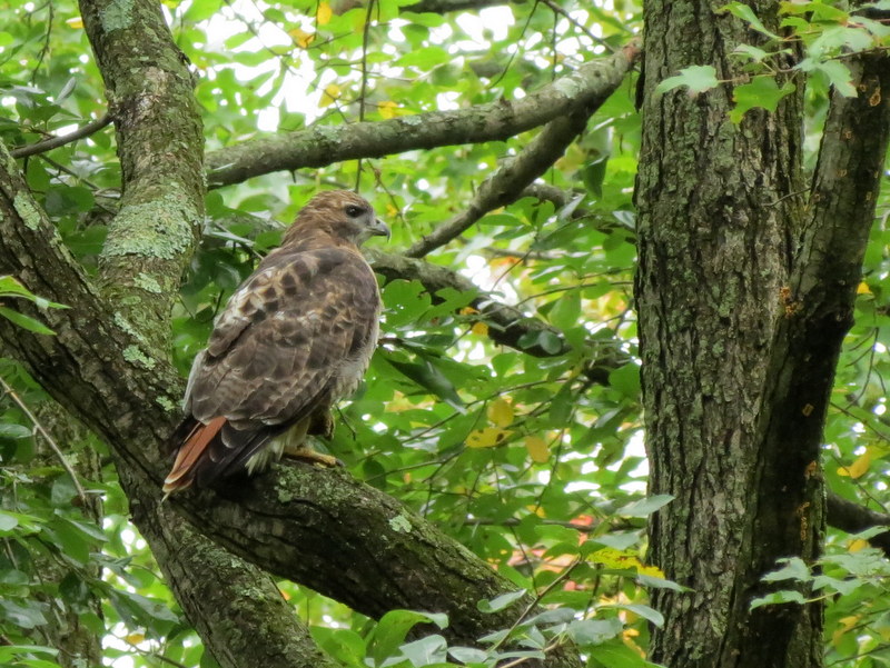
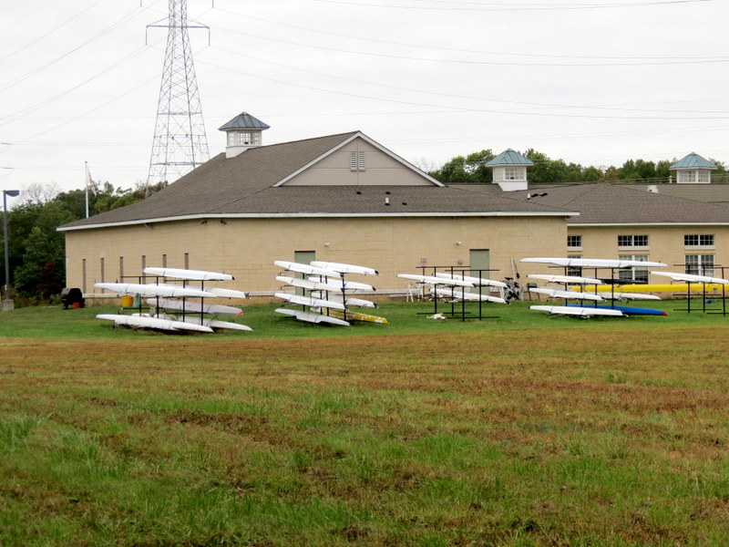
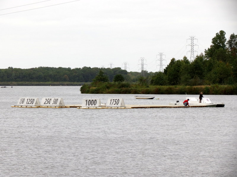
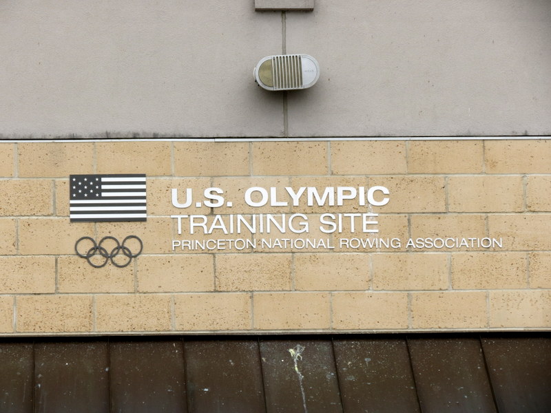
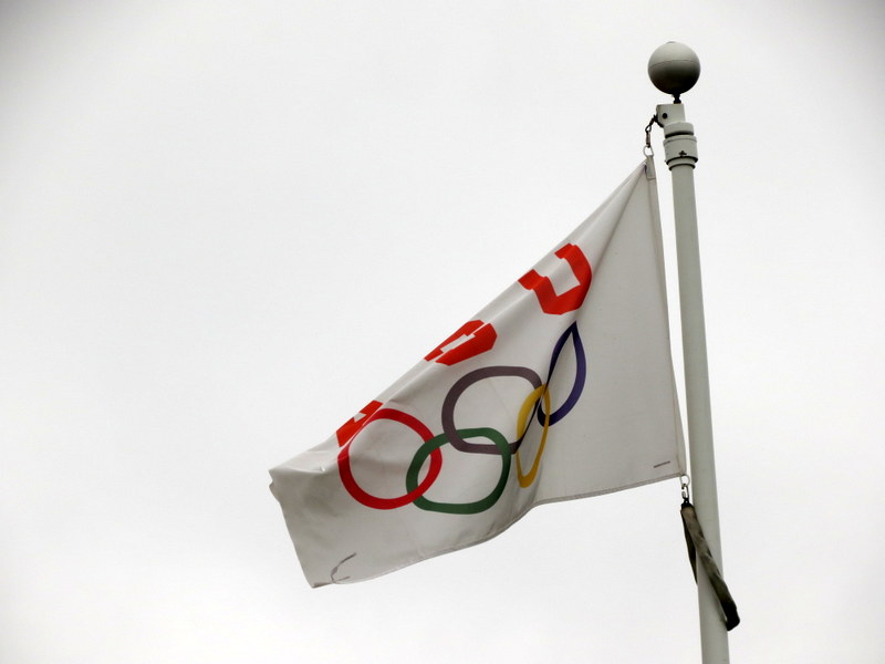
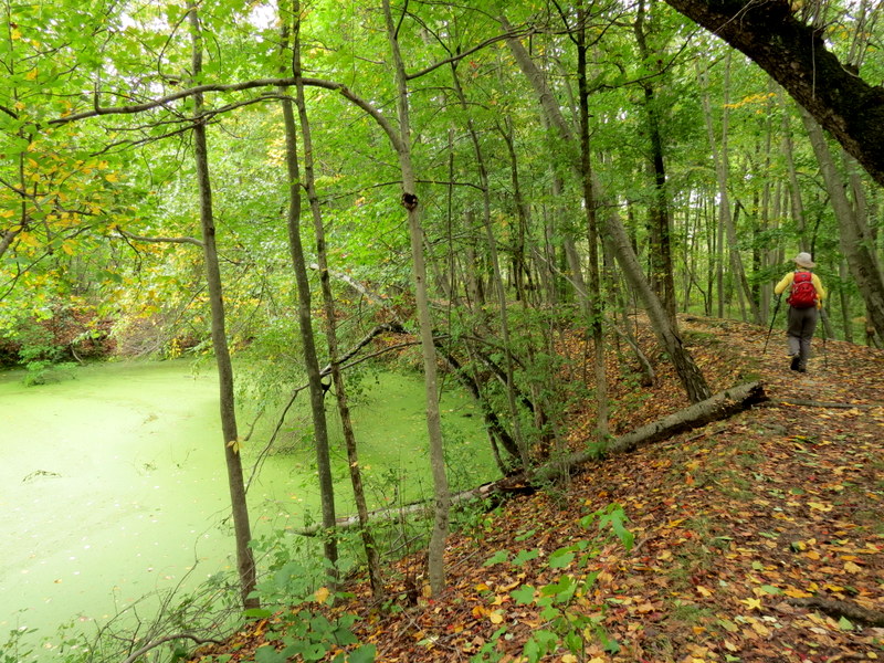
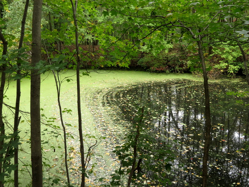
goregous, skirting streams and a beautiful lake used for the training of Olympic rowers. And there were some in the water on this cool
morning.
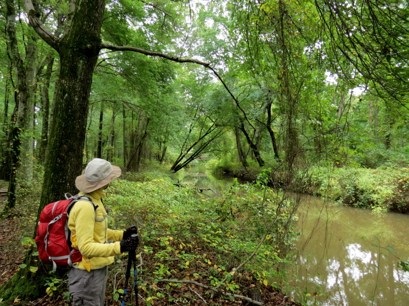
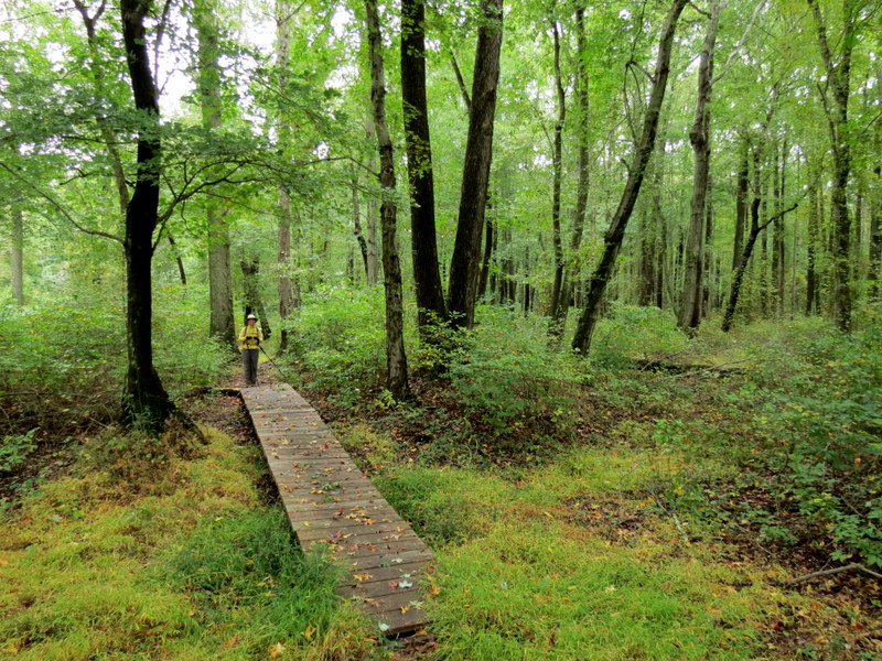
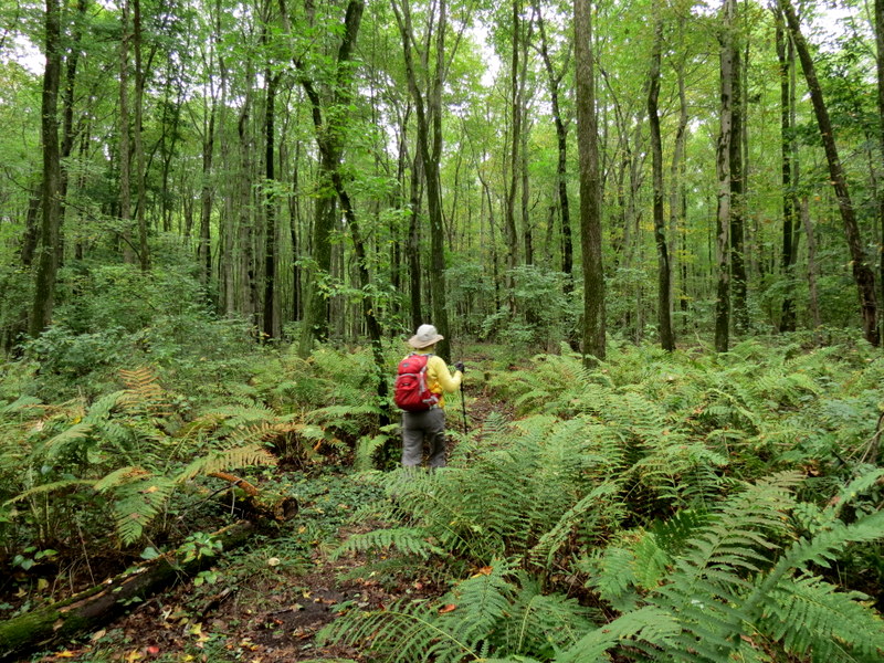
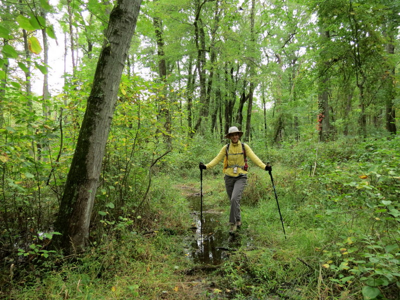
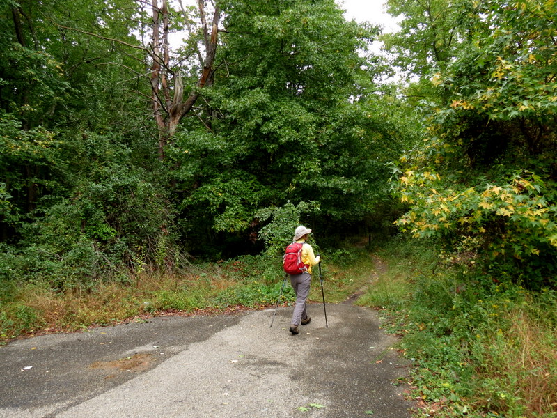
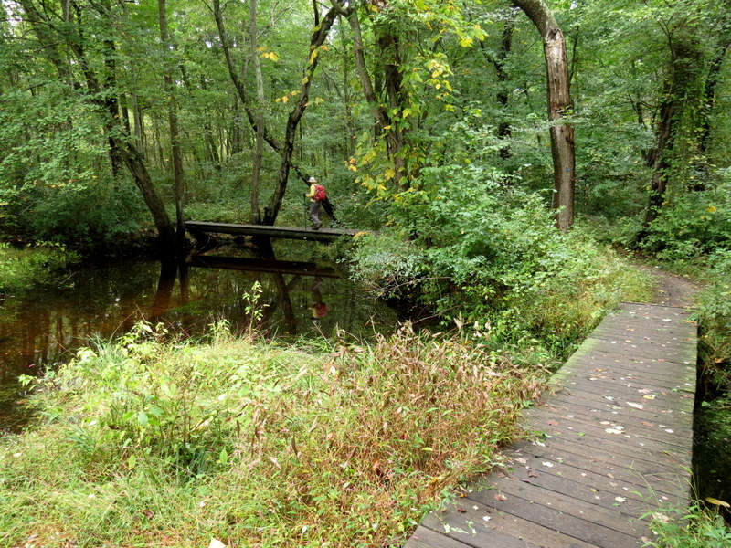
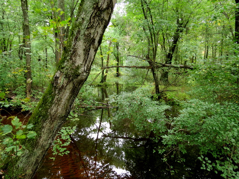
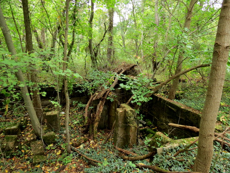
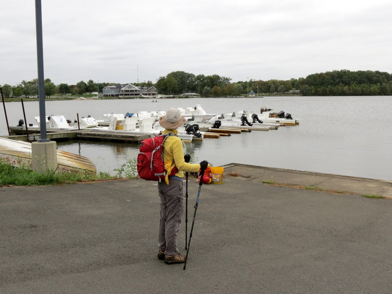
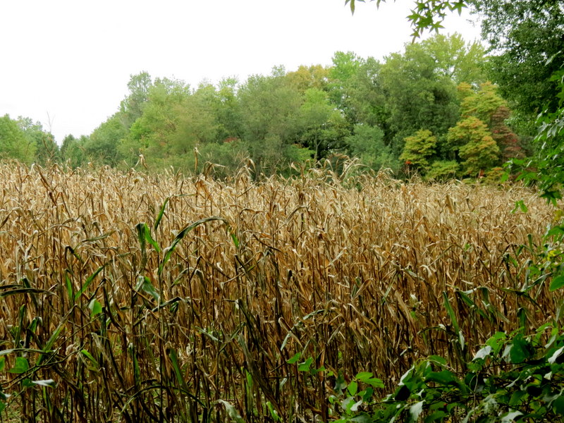
Using this map we parked in the eastern-most parking area just off Edinburgh Road and headed SW along a paved path where we found the eastern end of Red. We took that looping clockwise, attempting to find the gray woods road at the northern-most point on Red. But there was a small stream blocking us, so we ended up continuing on Red all the way to the eastern end of Blue. We took Blue west, looping clockwise all the way around the northern part of the park. It should be noted that west of the last intersection with Red, there are choices between continuing straight on Blue or taking (twice in our case), alternate Blues that go further south, in both cases right to the bank of the stream that feeds the lake. The map only shows the Blue further north of the lake. At the northeastern end of Blue we continued on residential streets back to Edinburgh Road where we re-entered the park on the main entrance road. Total distance hiked today was almost 7 miles in under 3.5 hours.
|
 |
 |
 |
 |
 |
 |
 |
 |
 |
 |
 |
 |
 |
 |
 |
 |
 |
 |
 |
 |
 |
 |
 |
 |
 |
 |
 |
 |
 |
 |
 |
 |
 |
 |
 |
 |
 |
 |
 |
 |
 |
 |
 |
 |
 |
 |
 |
 |
 |
 |
 |
 |
 |
 |
 |
 |
 |
 |
 |
 |
 |
 |
 |
 |
 |
 |
 |
 |

|
|
Photographs and content copyright © Dan Balogh Web design by Dan Balogh |