 |
|
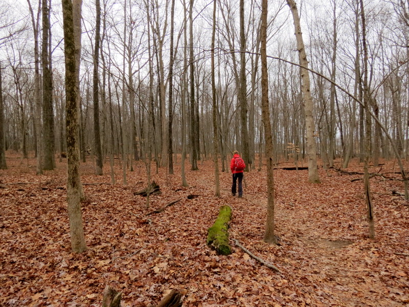
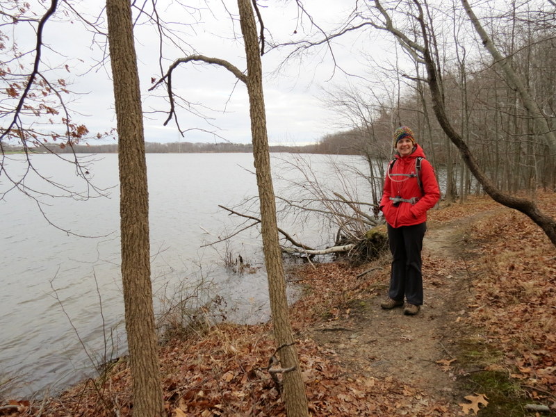
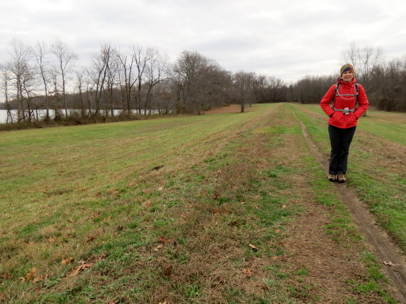
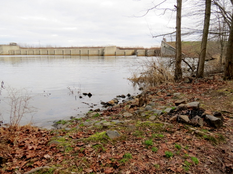
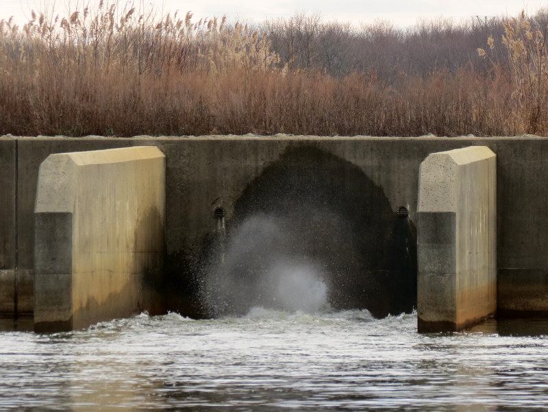
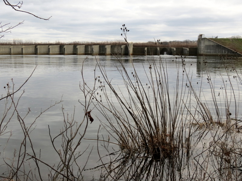
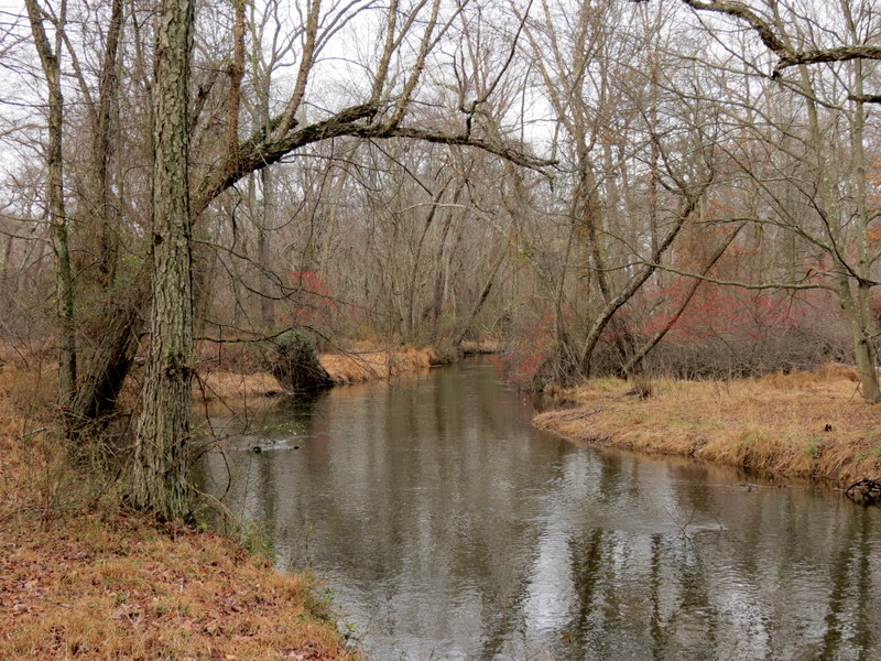
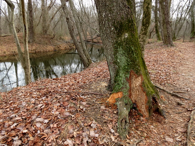
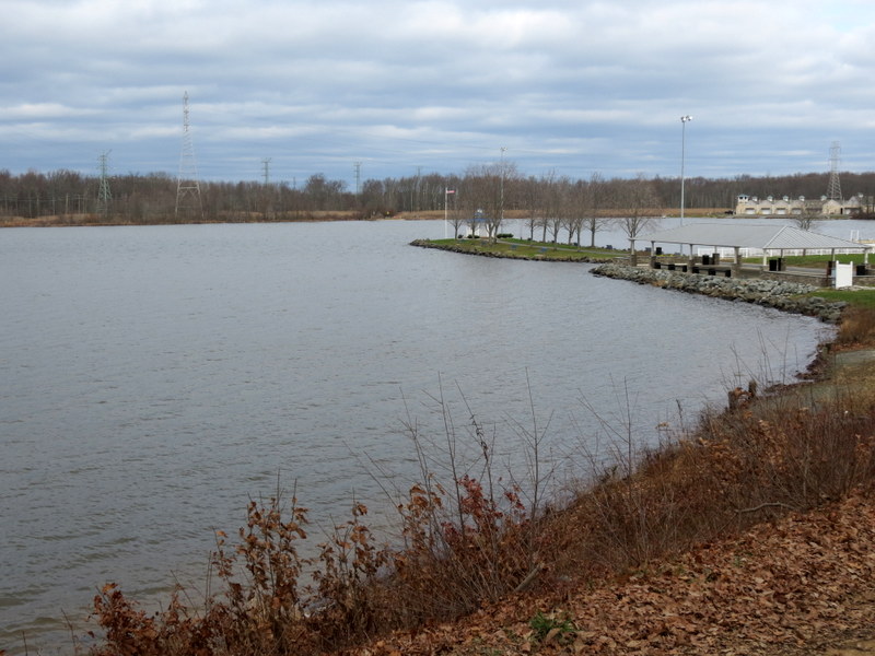
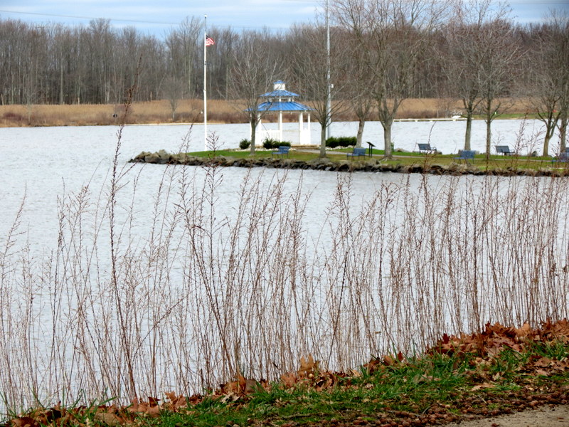
We visited this huge county park three months ago when we hiked most of the trails north of
Lake Mercer. At that time we were amazed at how many trails there were in a built-up park like this. Today, the first day of 2016, we returned to hike
some of the trails south of the lake. And there's still more to do, so we'll probably be returning again soon.
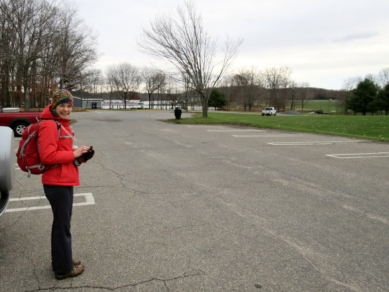
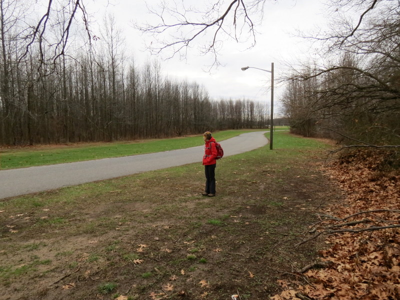
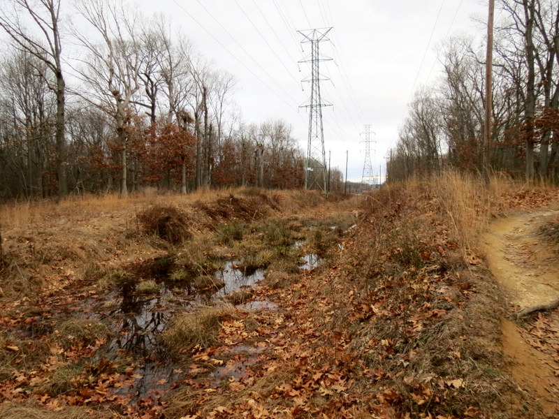
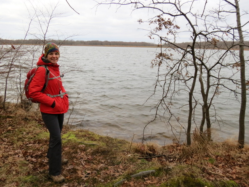
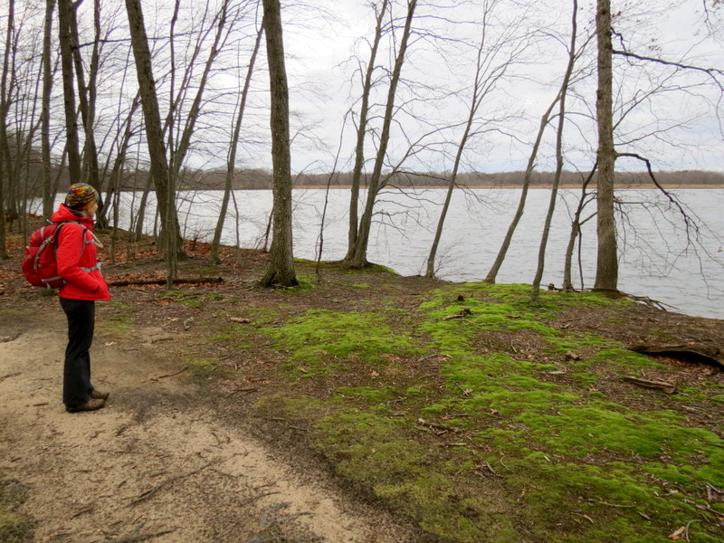
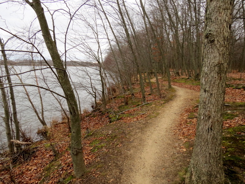
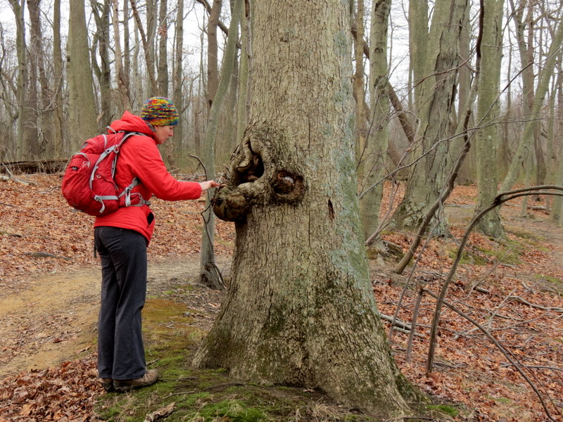
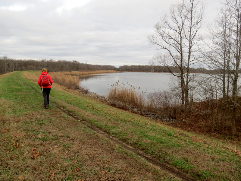
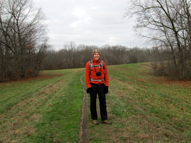
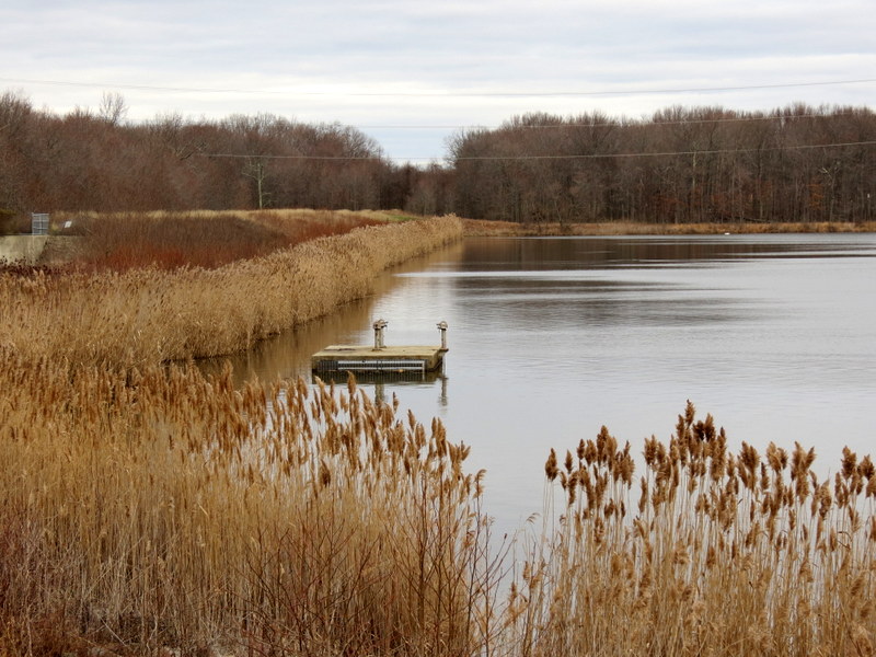
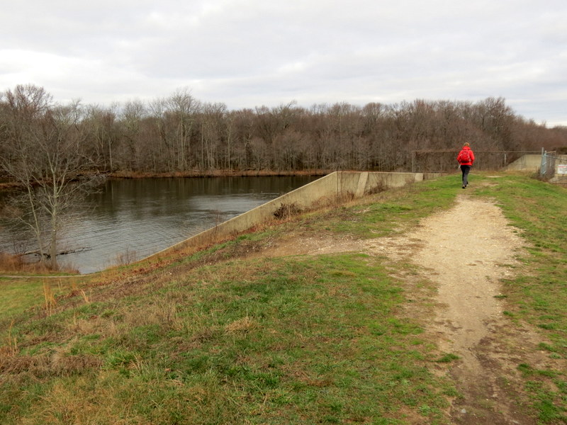
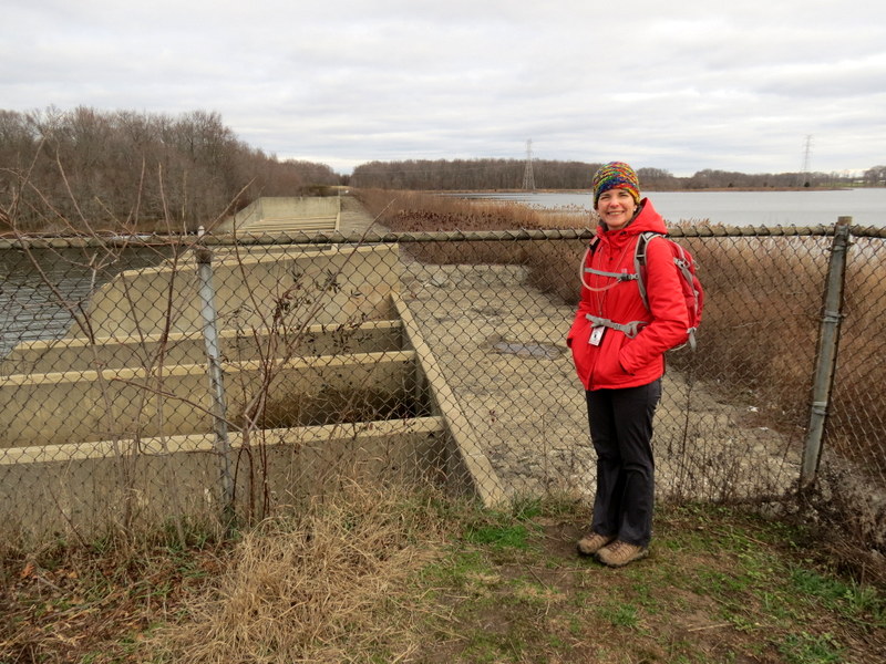
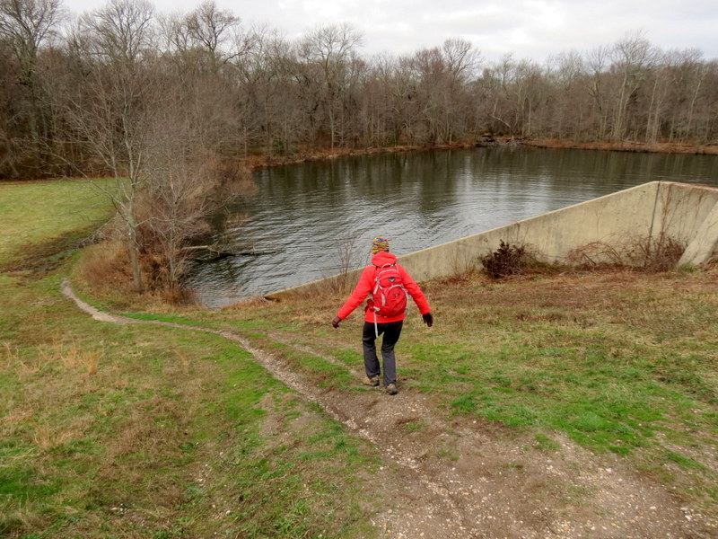
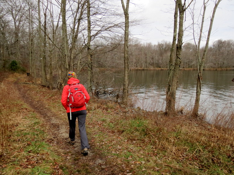
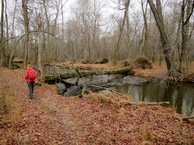
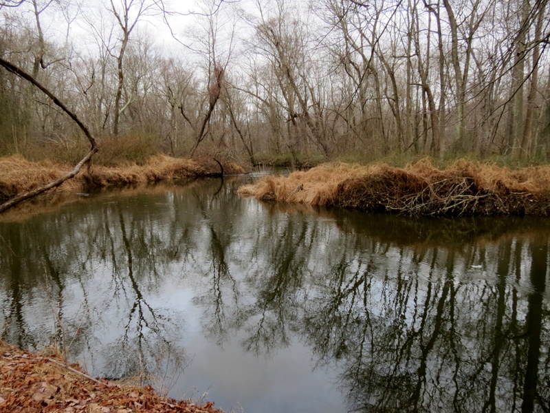
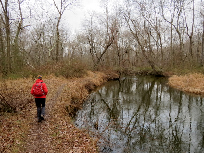
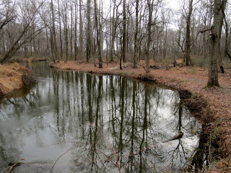
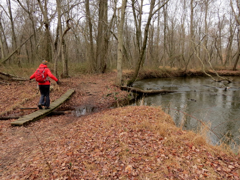
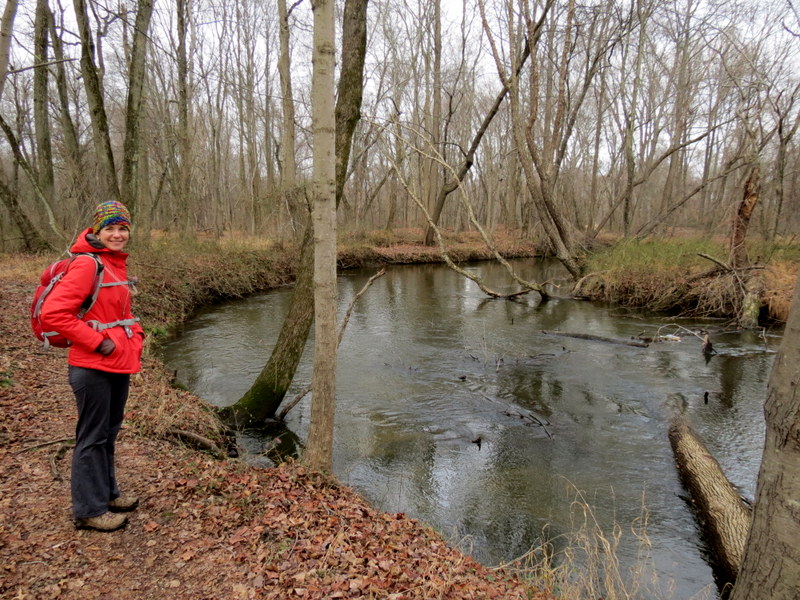
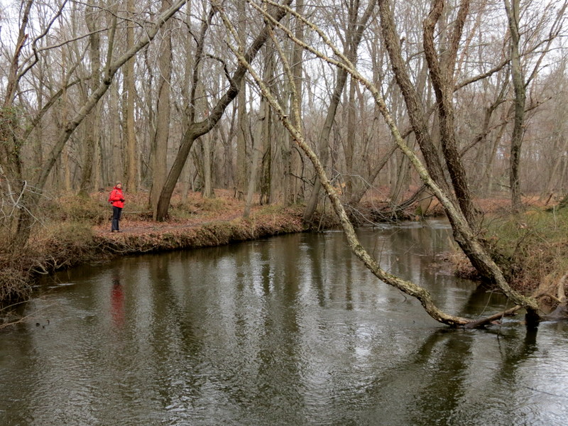
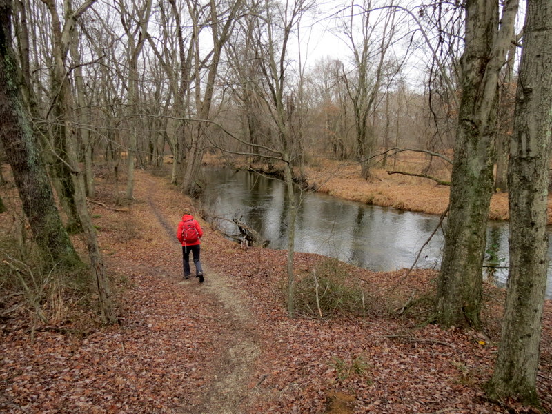
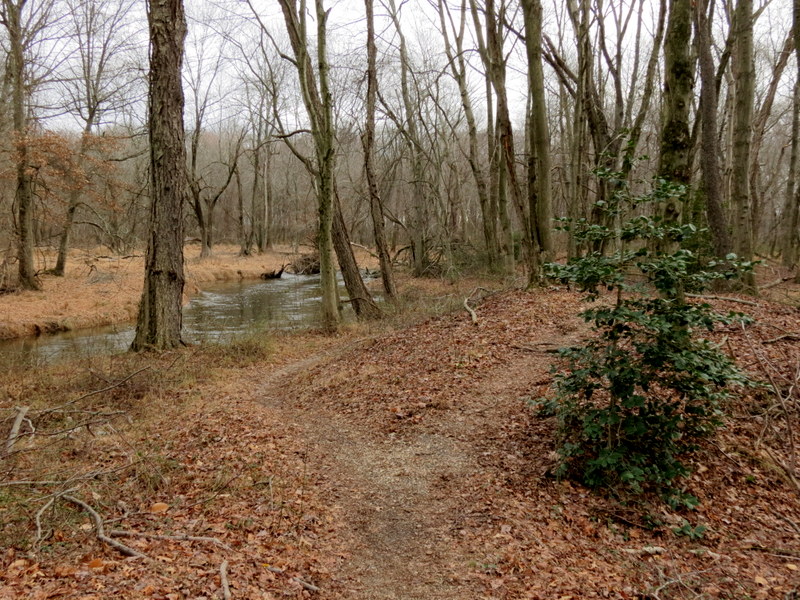
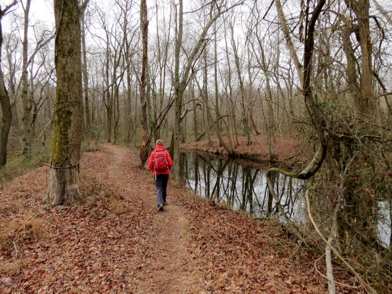
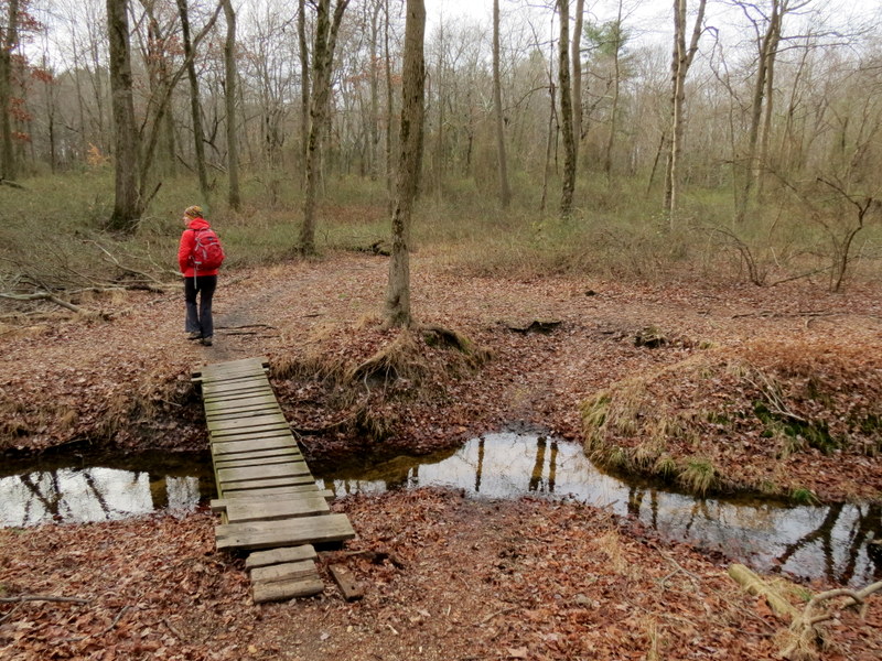
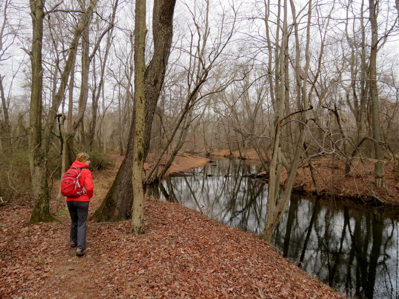
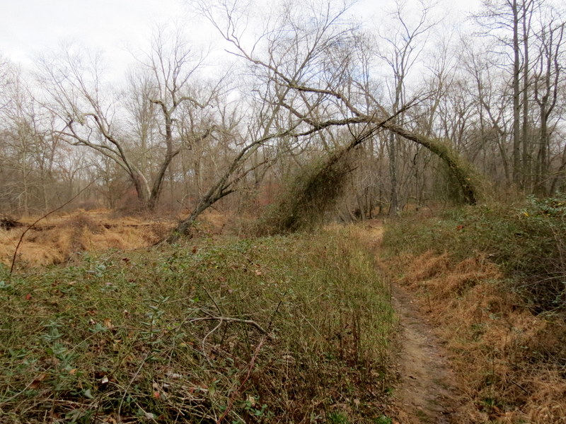
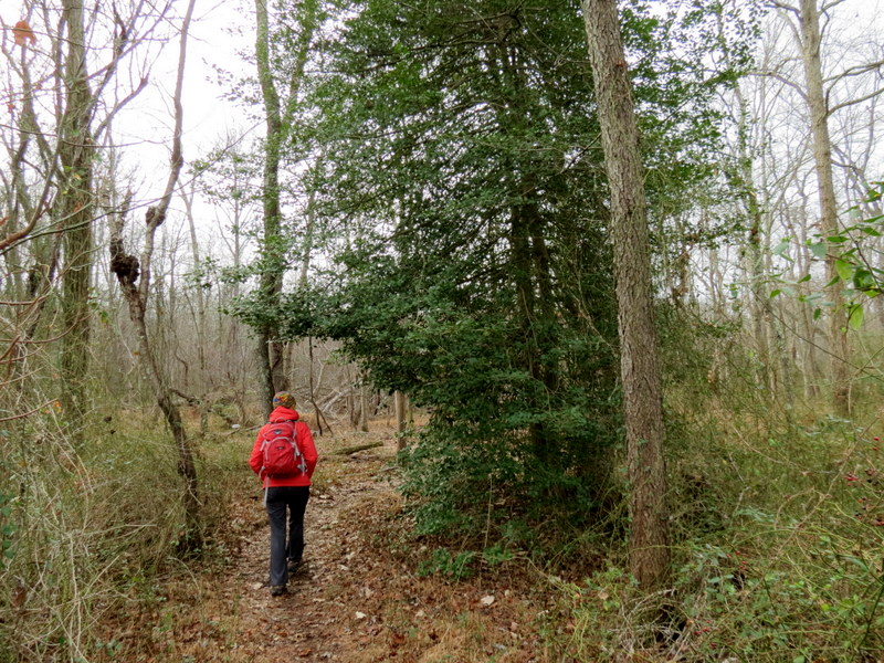
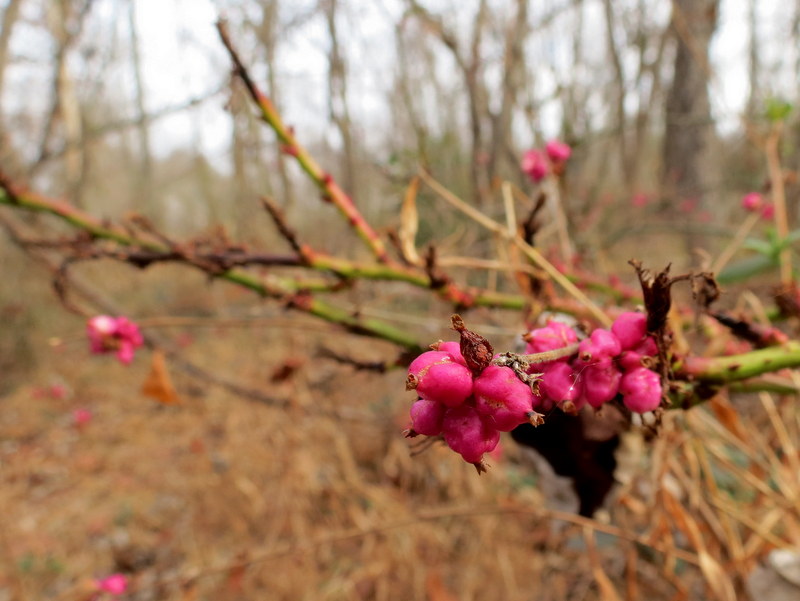
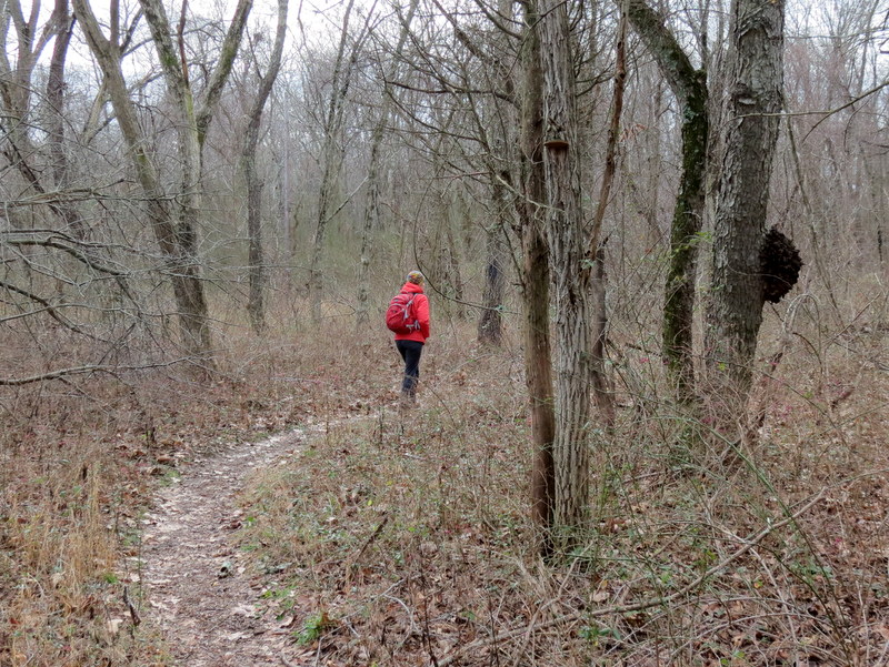
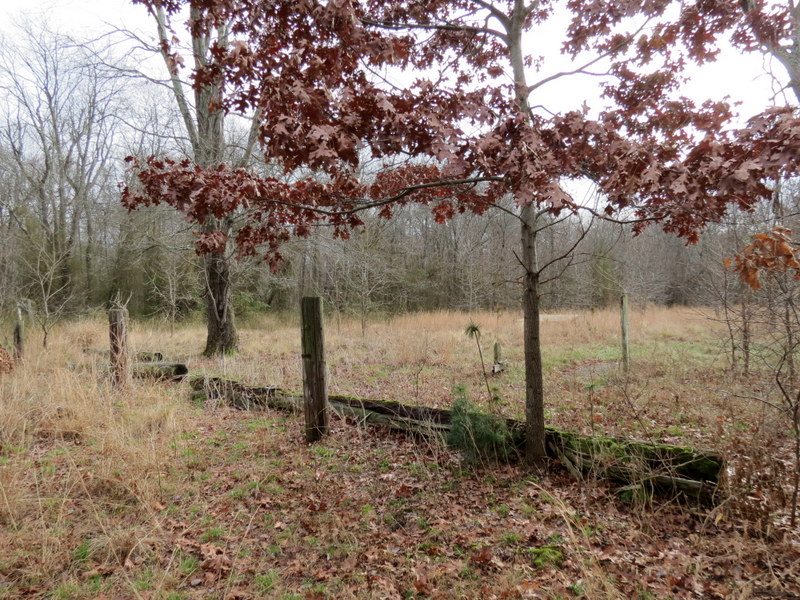
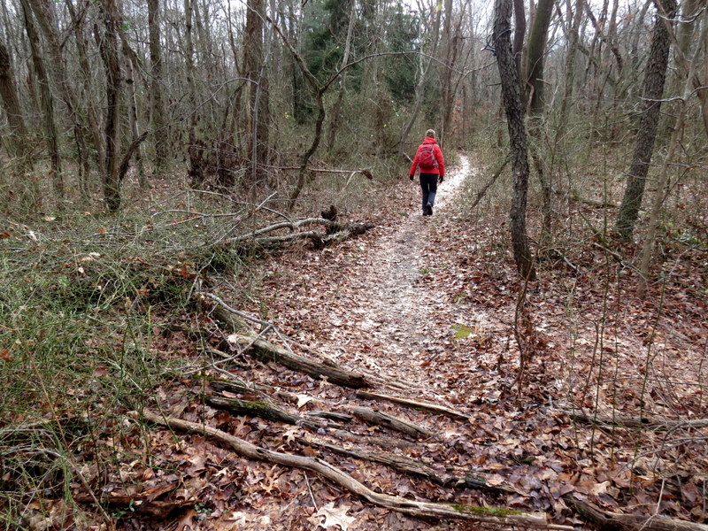
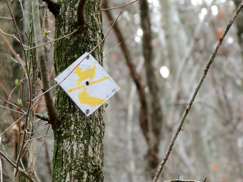
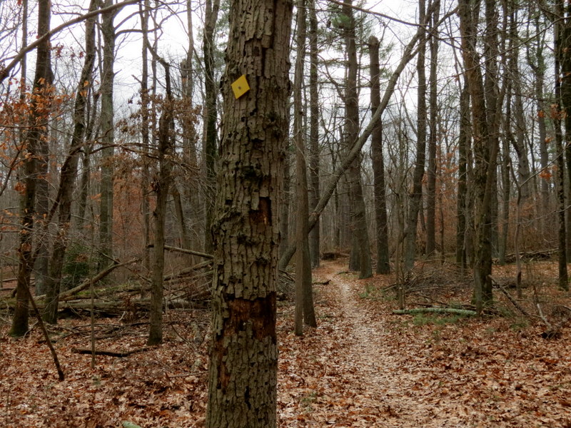
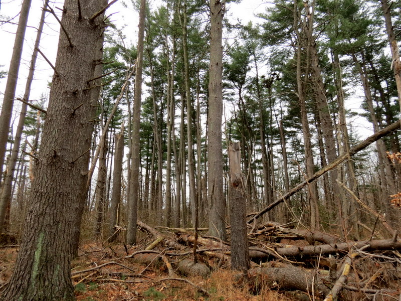
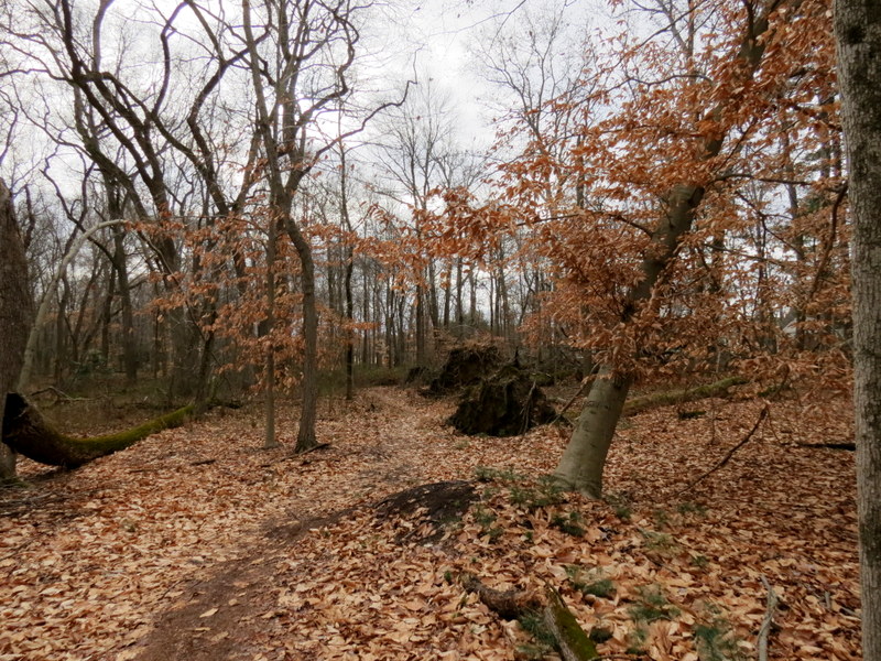
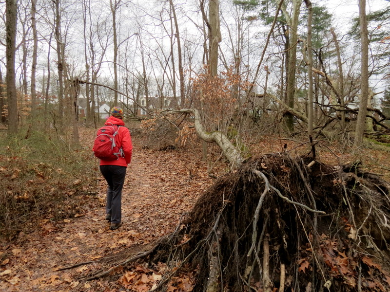
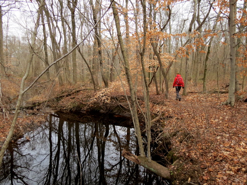
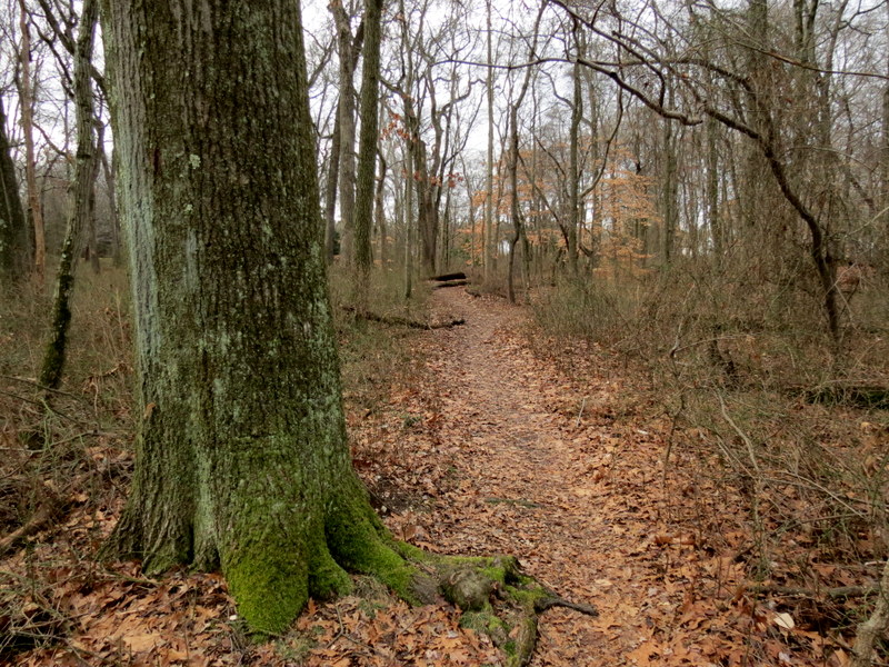
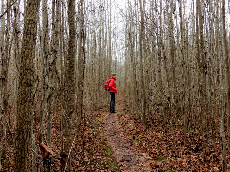
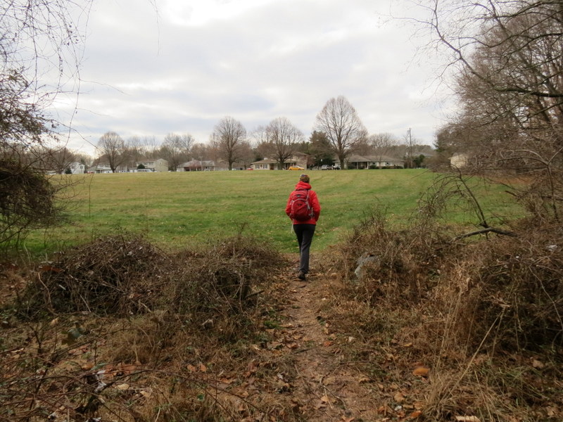
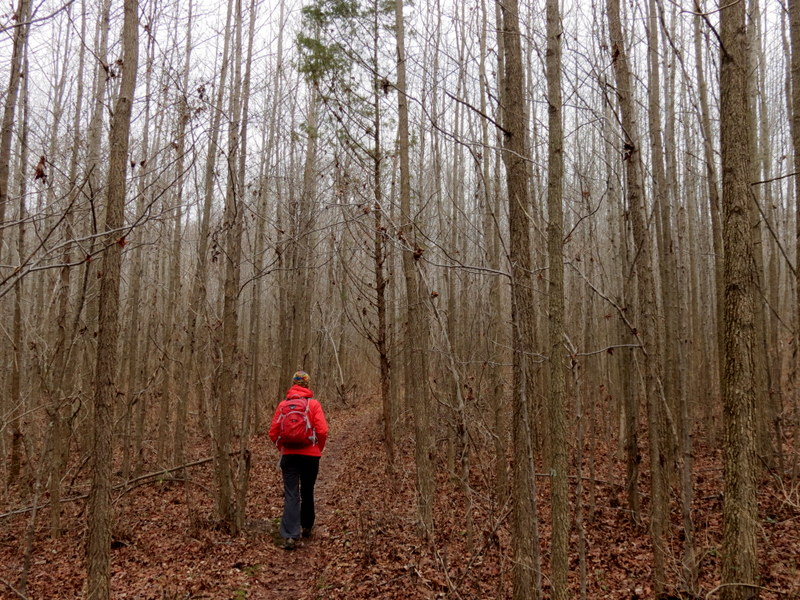
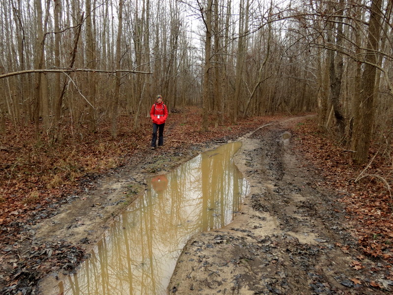
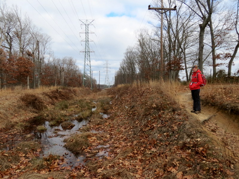
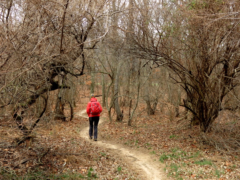
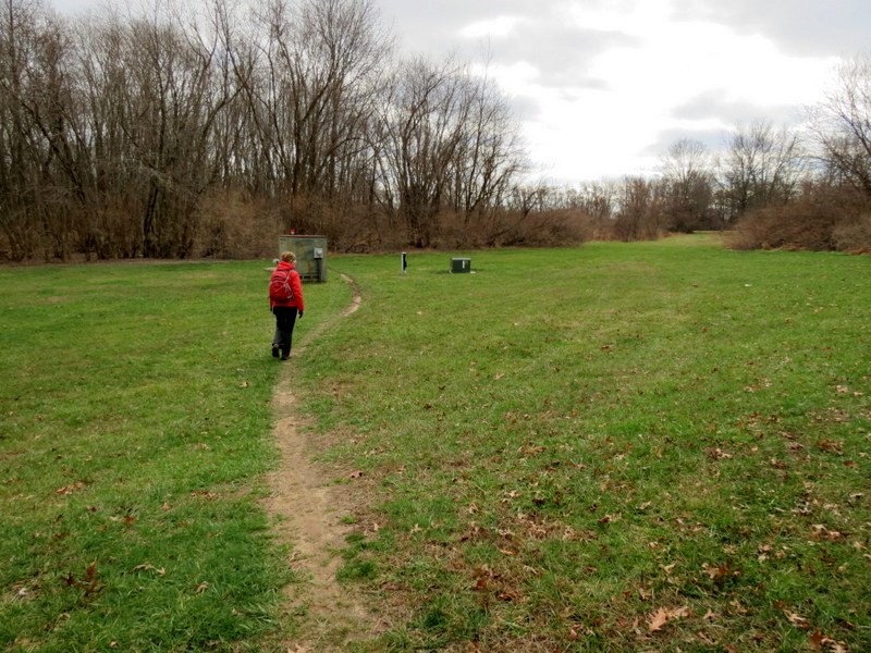
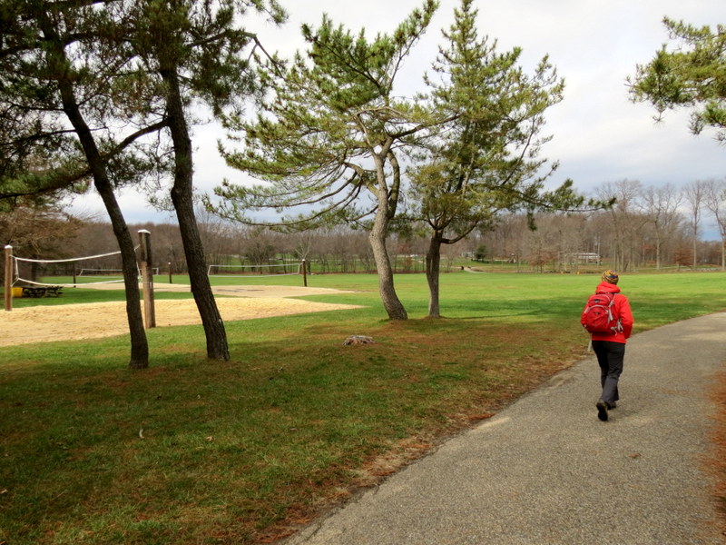
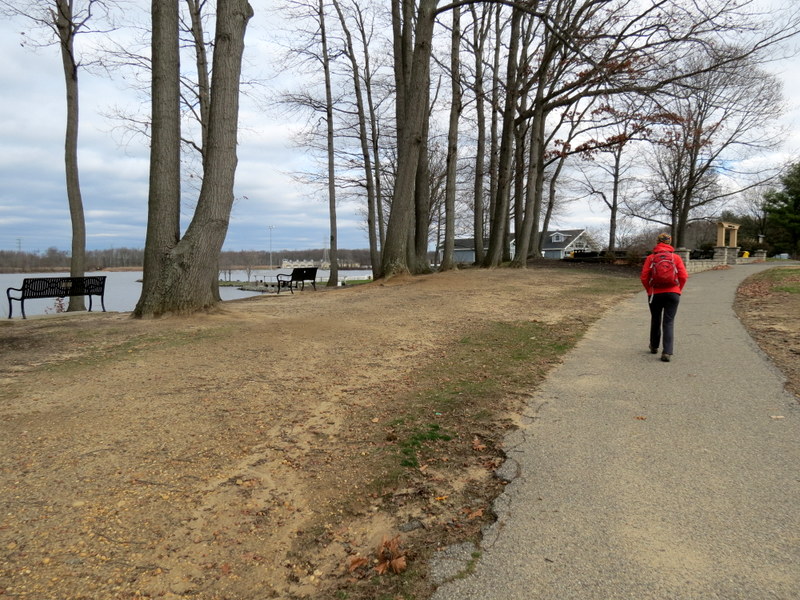
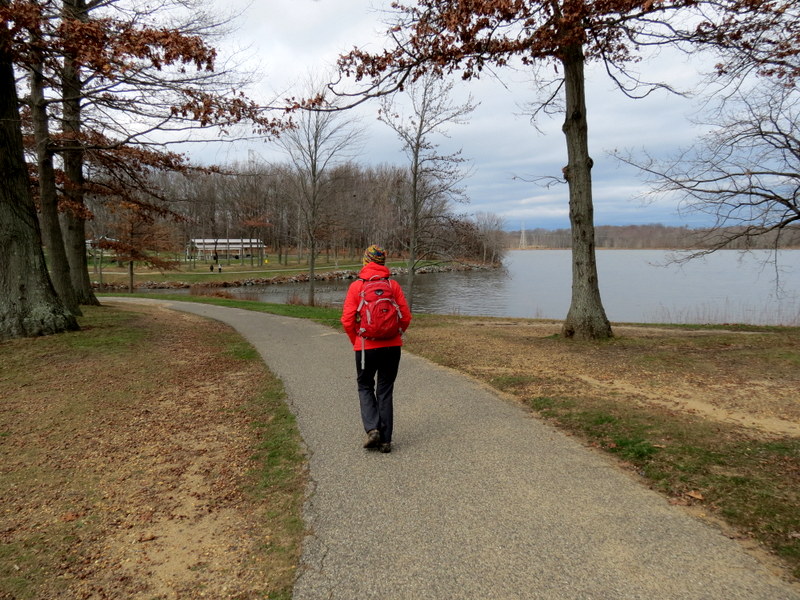
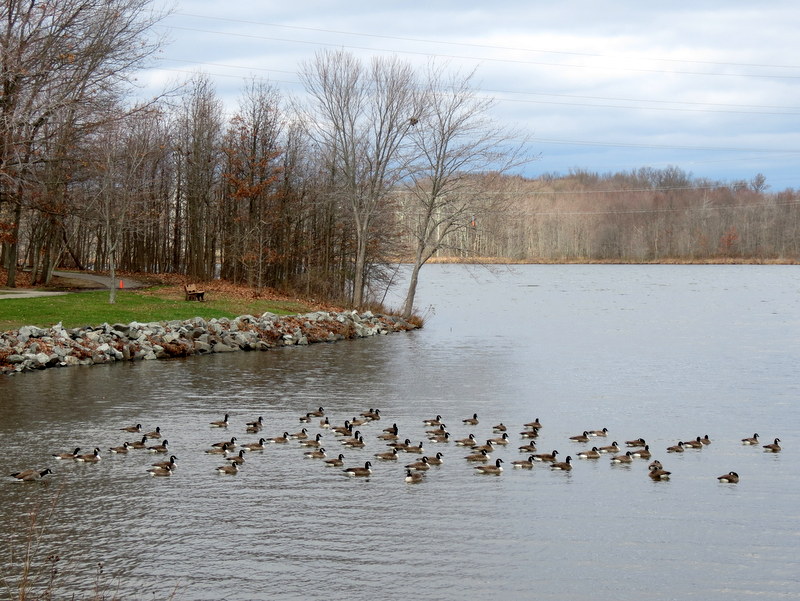
Using this map we parked in the oval-shaped parking area for the West Picnic Area and headed west into the woods on the Red Trail, as specified on the map. I say "as specified on the map" because there are, for the most park, no blazes on the trails, and in the rare occasions when they do appear, they are usually not the color specified on the map. So if you're going to hike these trails, bring your smart phone or your Garmin. There are also many criss-crossing trails not on the map. We took Red to its intersection with Orange (also not blazed), which we took to its western tip, continuing on Yellow now heading back east. Halfway we headed south on Red (a spur) through a lovely stand of saplings, which ended at a park. We turned and headed back to Yellow. At the end of Yellow, at the Paved Trail, we continued east on Orange, then followed the zig-zag serpentine pattern (clearly made for bikes) of the Red trail, heading east, eventually passing the volley ball fields. Here we headed north on the Paved trail back to the car. Total distance hiked today was 5.2 miles in just under 2.5 hours.
|
 |
 |
 |
 |
 |
 |
 |
 |
 |
 |
 |
 |
 |
 |
 |
 |
 |
 |
 |
 |
 |
 |
 |
 |
 |
 |
 |
 |
 |
 |
 |
 |
 |
 |
 |
 |
 |
 |
 |
 |
 |
 |
 |
 |
 |
 |
 |
 |
 |
 |
 |
 |
 |
 |
 |
 |
 |
 |
 |
 |
 |
 |
 |
 |
 |
 |
 |
 |
 |
 |
 |
 |
 |
 |
 |
 |

|
|
Photographs and content copyright © Dan Balogh Web design by Dan Balogh |