 |
|
Today's hike was another of my own inventions. For a while I've been intrigued by a couple of viewpoints that appear on the NYNJTC Maps for the Kittatinny Mountains.
Specifically, I've been interested in visiting the peaks on Trail Map 123 where Route 206 crosses into Pennsylvania. There are stars (viewpoints) labeled "The Knob" on
Map 123 and, further west on Map 122, near something labeled "The Cliff". There are trails leading all the way southwest to
Raymondskill Falls, but with no trail names on these maps, it's a mishmash. But last night I found this map online. With all the trails labeled, and distance between pinmarks
specified, we decided to check out those viewpoints today. And we were not disappointed! This is one of the most spectacular hikes in the area.
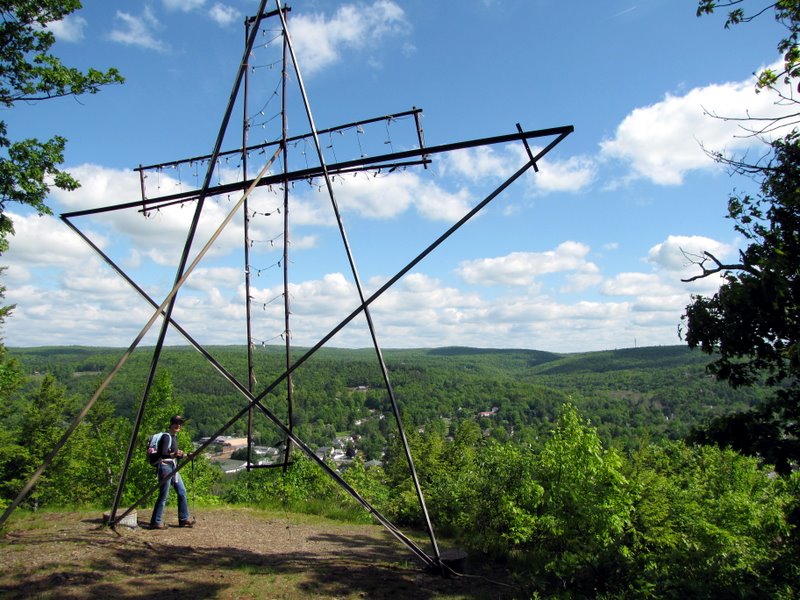
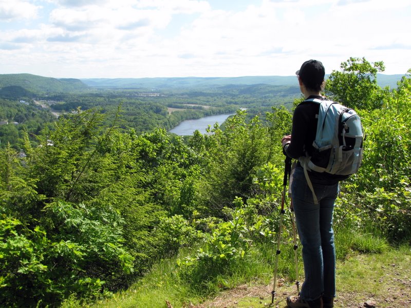
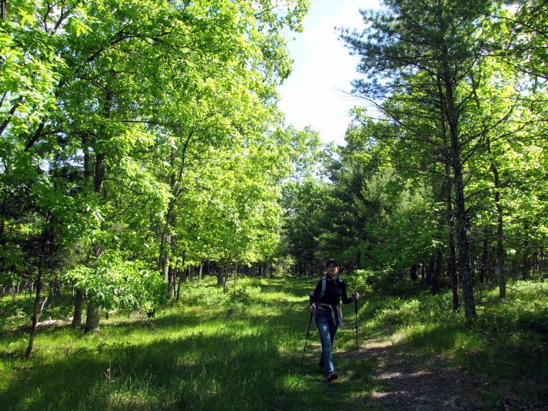
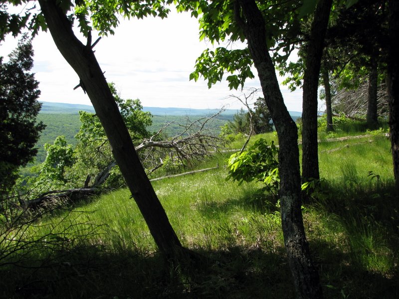
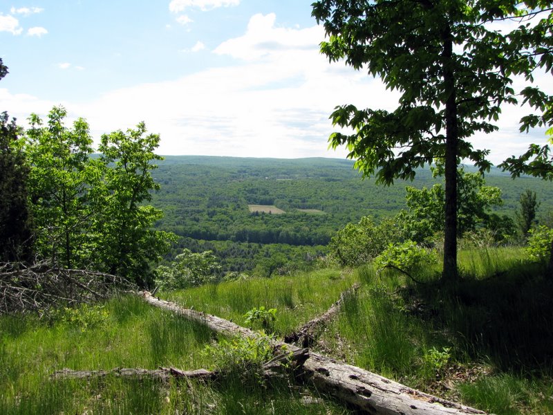
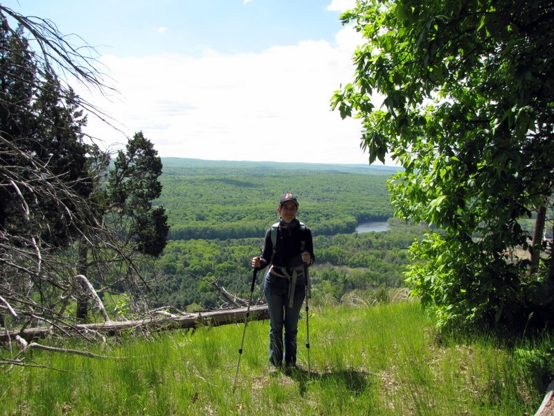
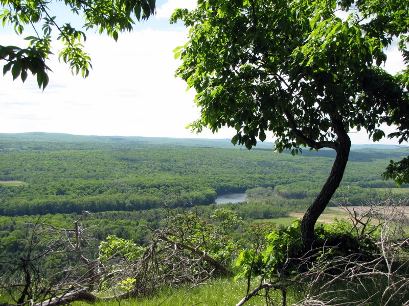
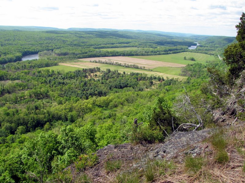
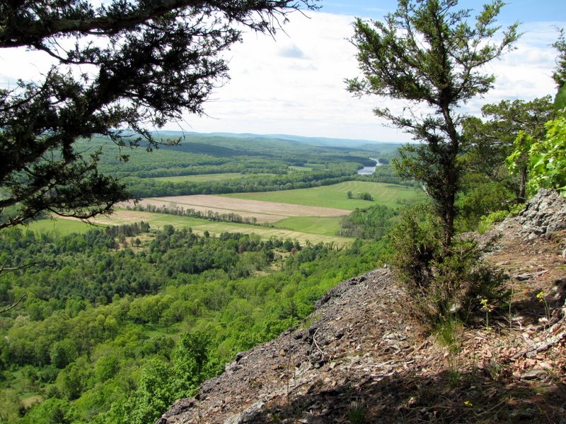
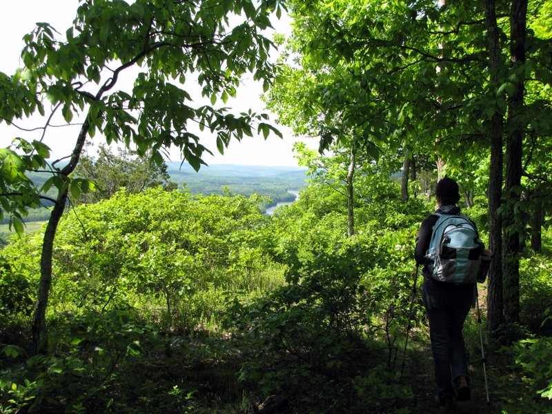
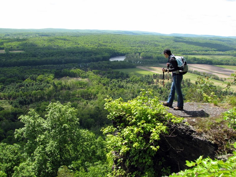
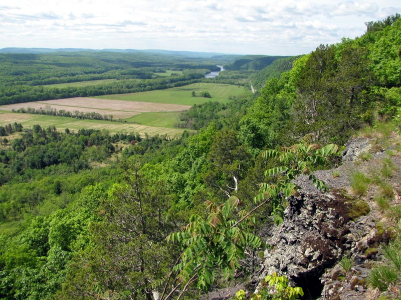
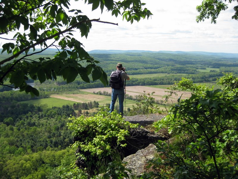
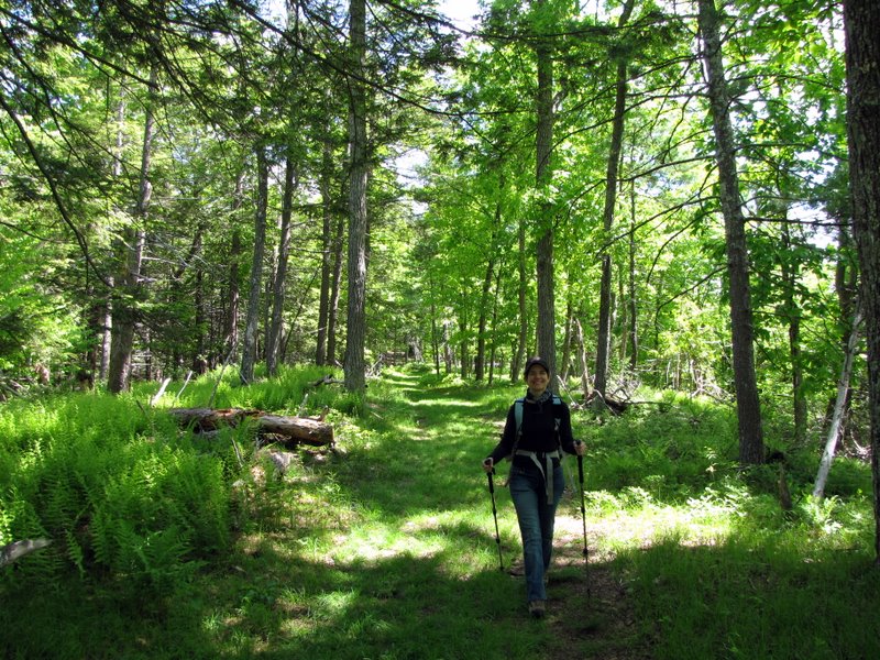
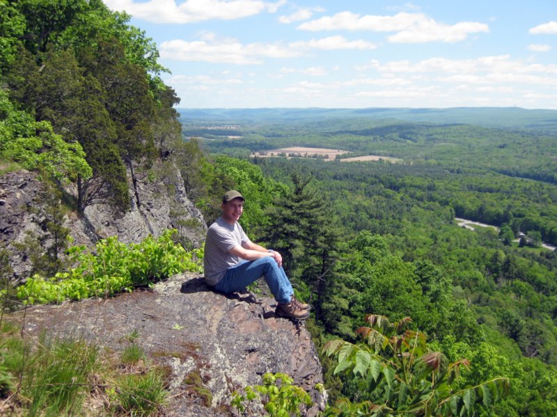
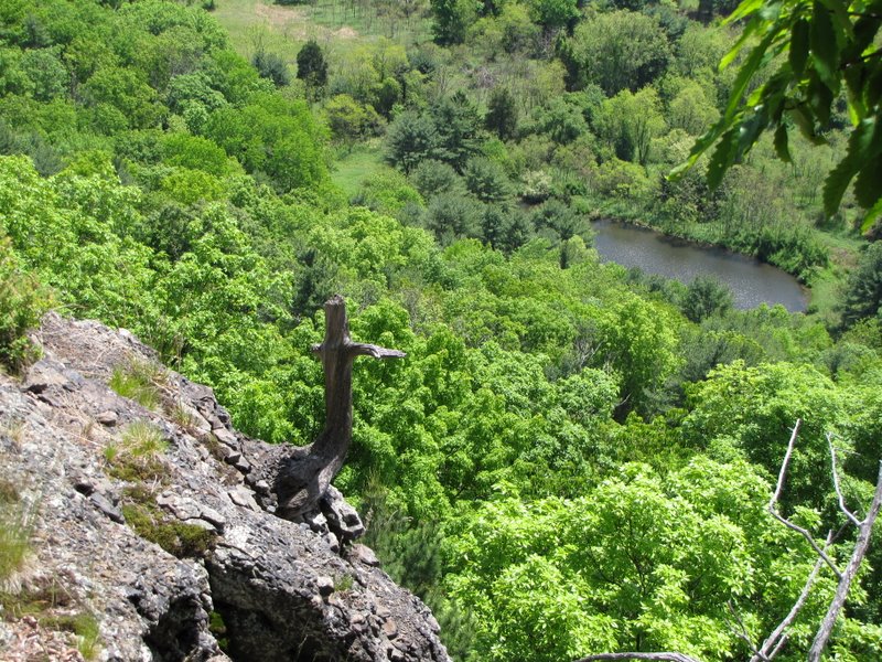
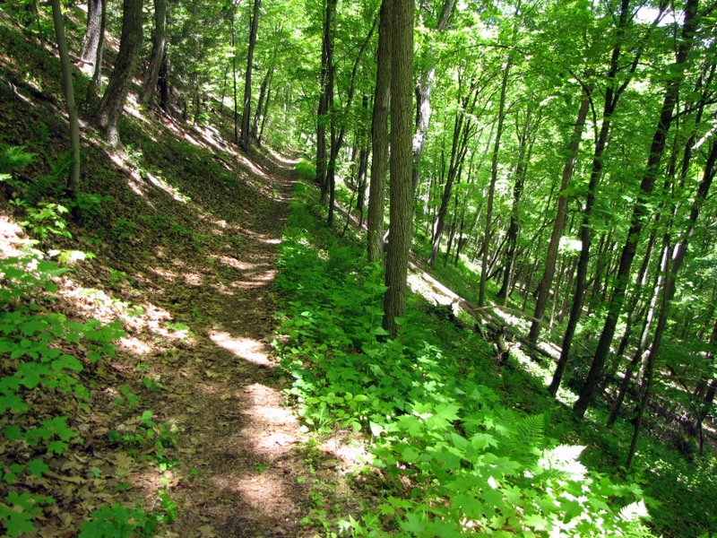
We parked near the North Contact Station and took the Milford Knob Trail all the way to Milford Knob, where a cheesy metal star (with a cross) is perched at the view. After taking in the view of Milford, and the Delaware River, we took the Cliff trail southwest to Riverview Overlook. At the point where the Quarry Trail comes in from the left, however, there is a fork in the road. The left fork ascends to the ridge and affords constant views all the way to Riverview Overlook (this trail is not on the map). The right fork follows the woods road with no views. Take the left fork after the Quarry Trail comes in from the left! Otherwise you'll miss most of the views in these photos! We continued along the Cliff Trail and then took the Buchanan Trail and Pond Loop trail down to the Cliff Park Pond for a glimpse before heading back to Riverview Overlook for lunch. We then took the Quarry Trail back to the Milford Knob Trail and took that back to the car. Total distance hiked today was 5.8 miles in about 3 hours, with an additional half hour enjoying the amazing view from our lunch spot. (Click on the thumbnail to bring up a bigger image in a pop-up window)
|
 Milford Knob trailhead |
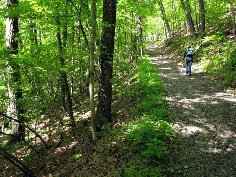
 Milford Knob trail |
 |
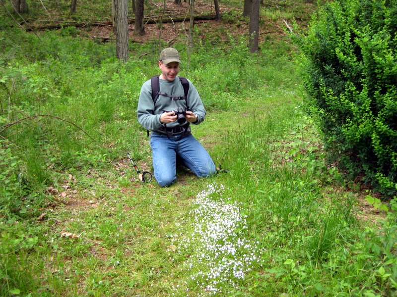 [Photo by Laura] Dan taking ... |
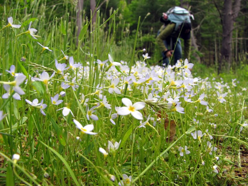 ... this photo |
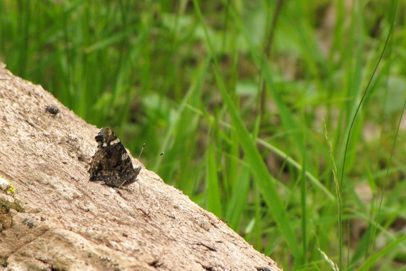 Moth |
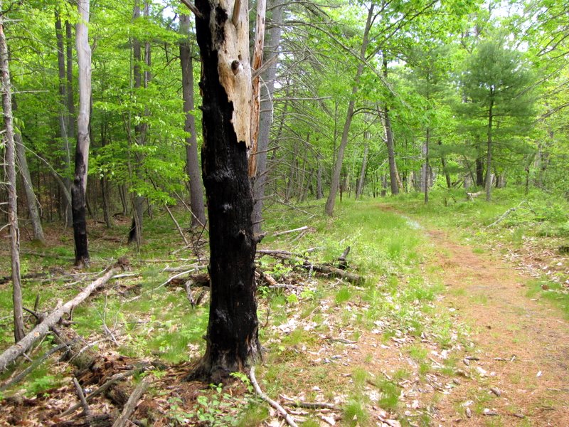 Burnt trees on the trail |
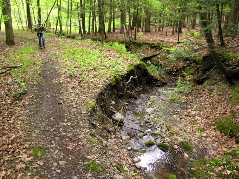
 Trickling stream |
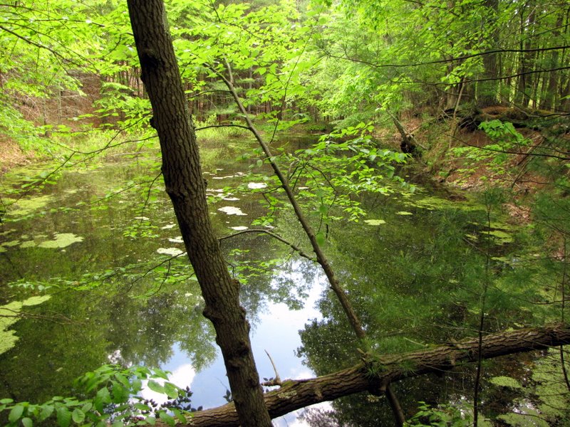 Swampy pond off the trail |
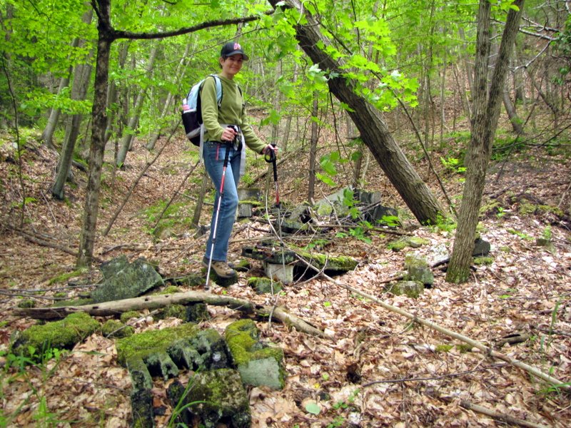 Cinder block remains |
 |
 Climbs on switchbacks |
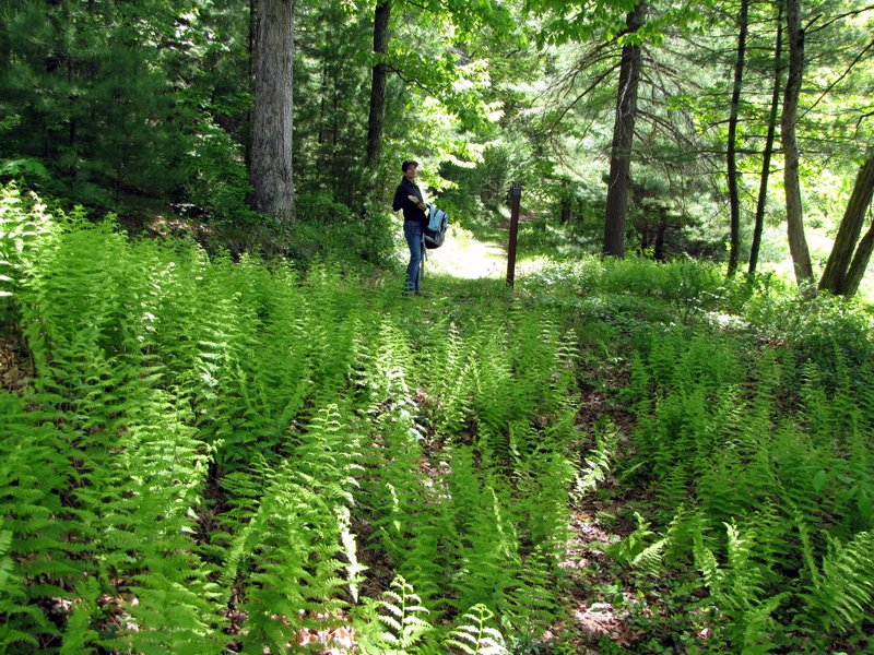
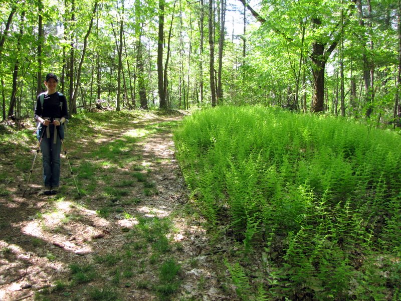 Loads of ferns |
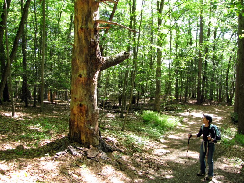 Old growth |
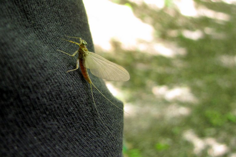 Bug on Laura's shirt |
 Steep uphill |
 Star at Milford Knob Overlook |
 |
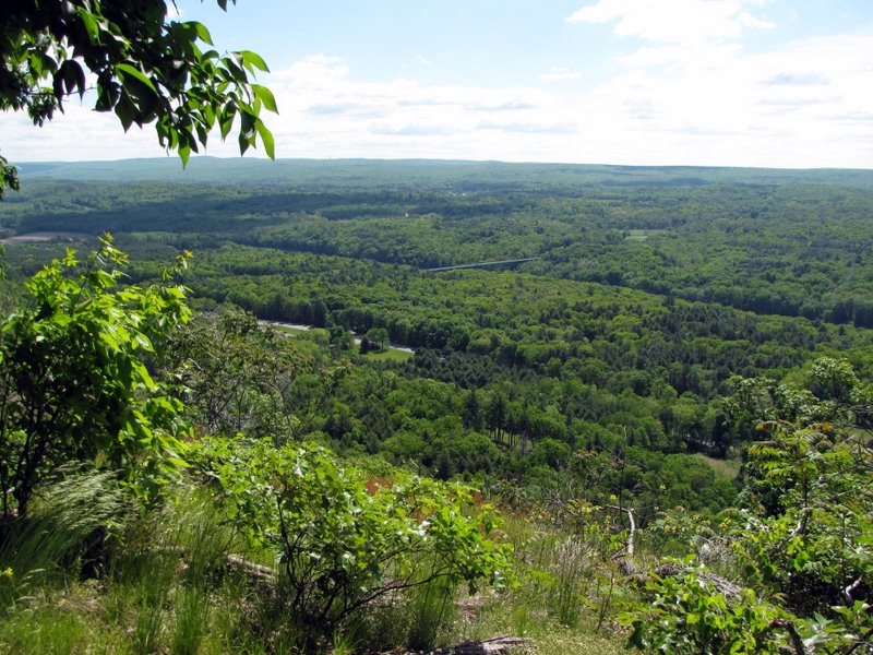
 Milford below |
 View of Delaware River |
 Closer view |
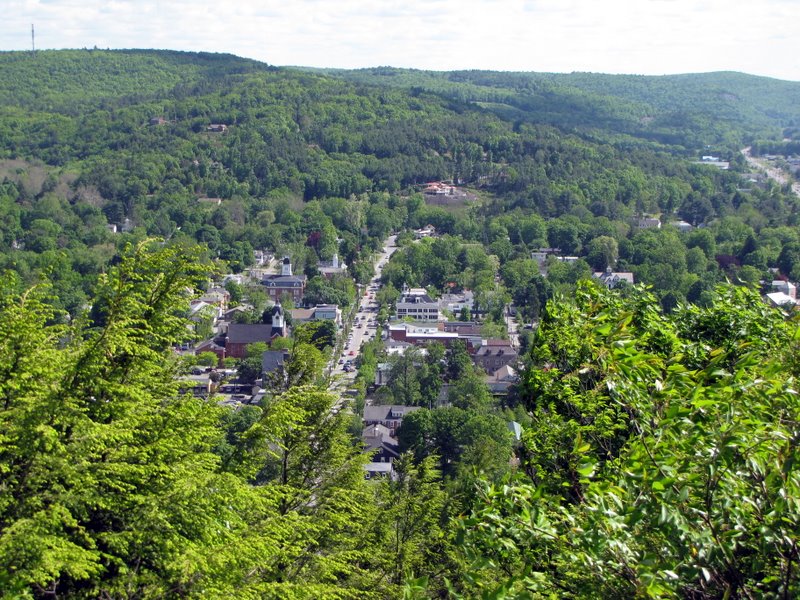
 Houses in Milford |
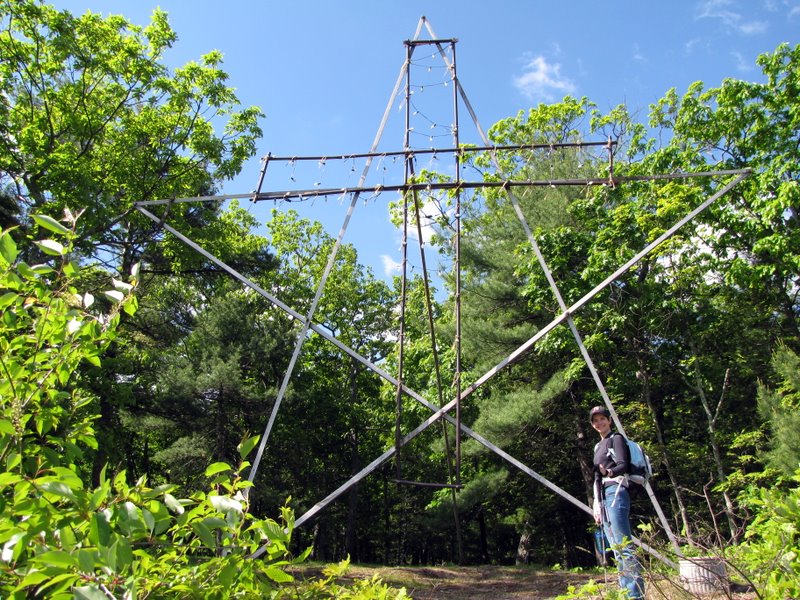 The star/cross from front |
 |
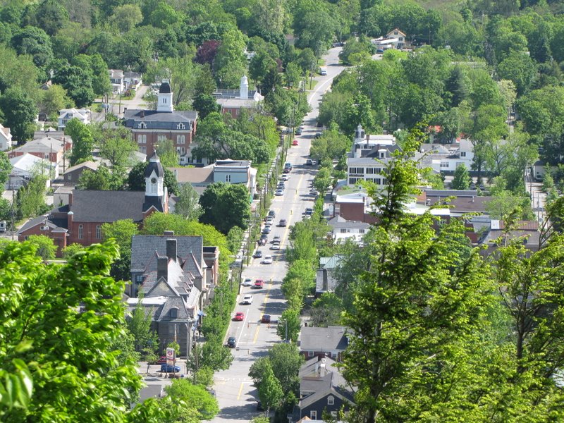 Route 6/209 through Milford |
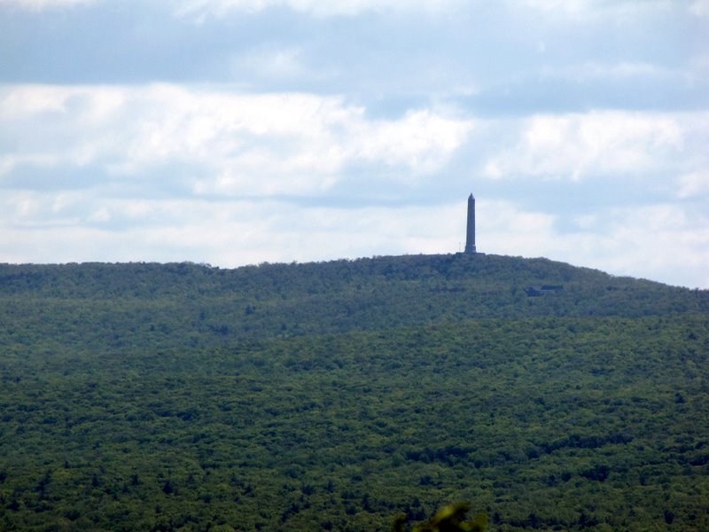 High Point Monument |
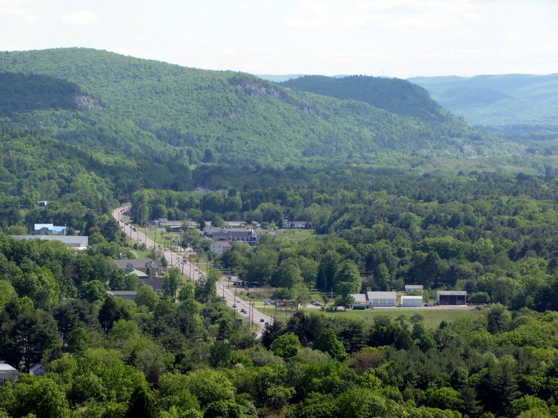 Route 209 heading northeast |
 Bulbs missing |
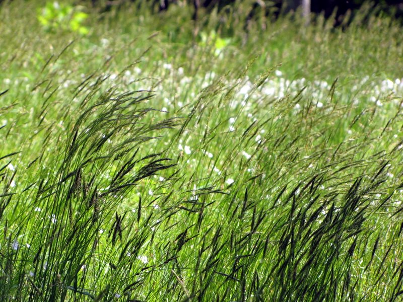
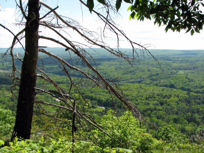
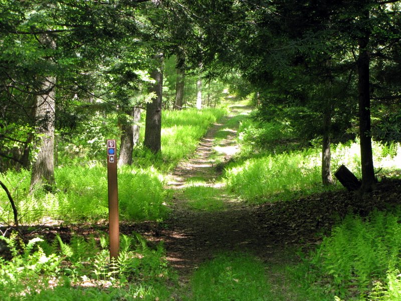
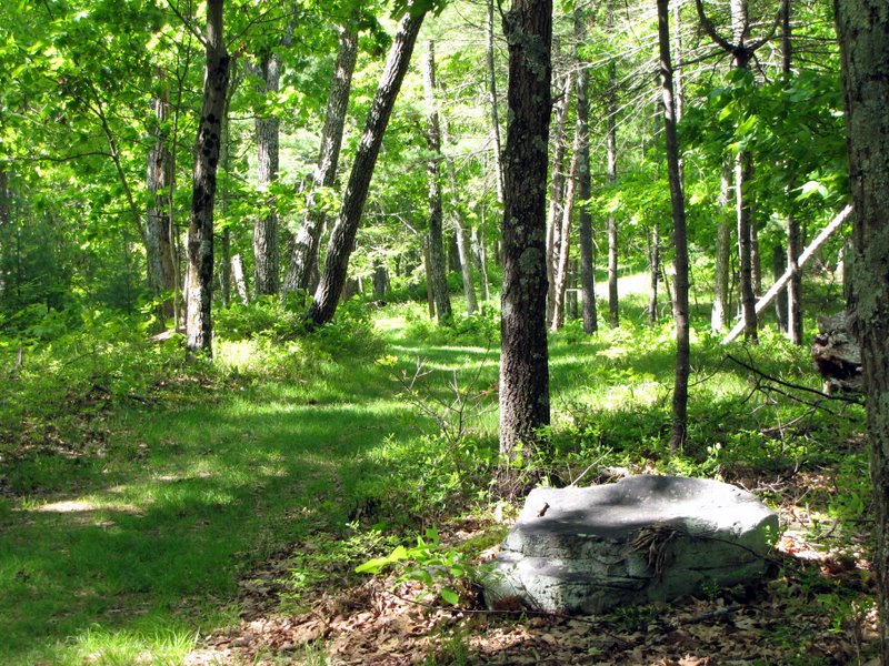 Cliff trail |
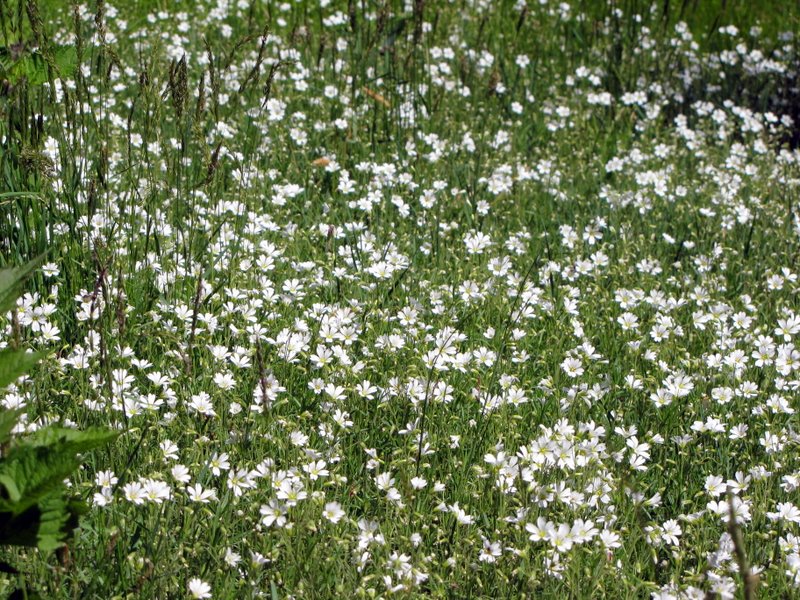 Wildflowers abound |
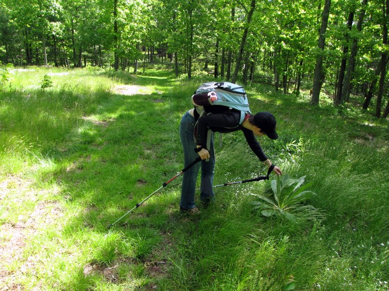 Lamb's Ears |
 |
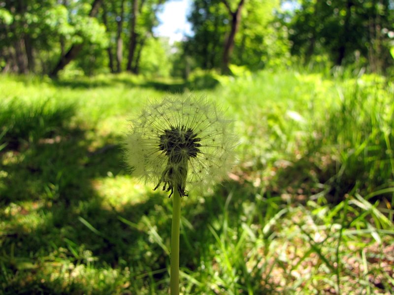 Trail dandelion |
 Heading SW |
 |
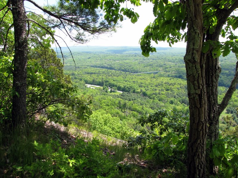
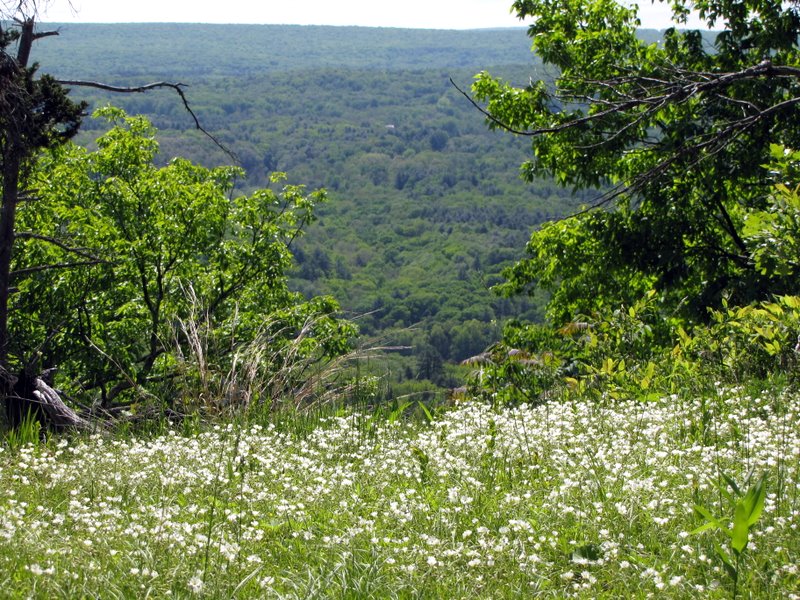 Views begin |
 |
 |
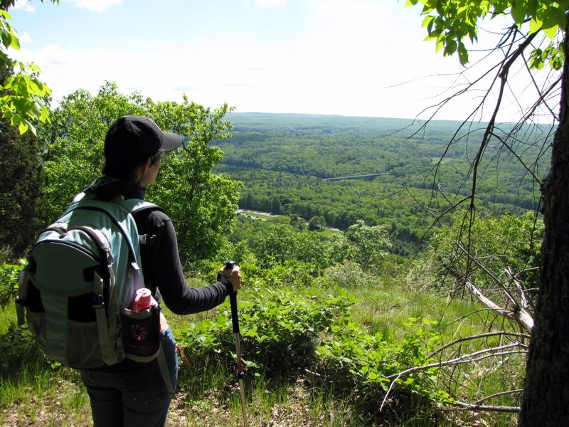 View to NJ |
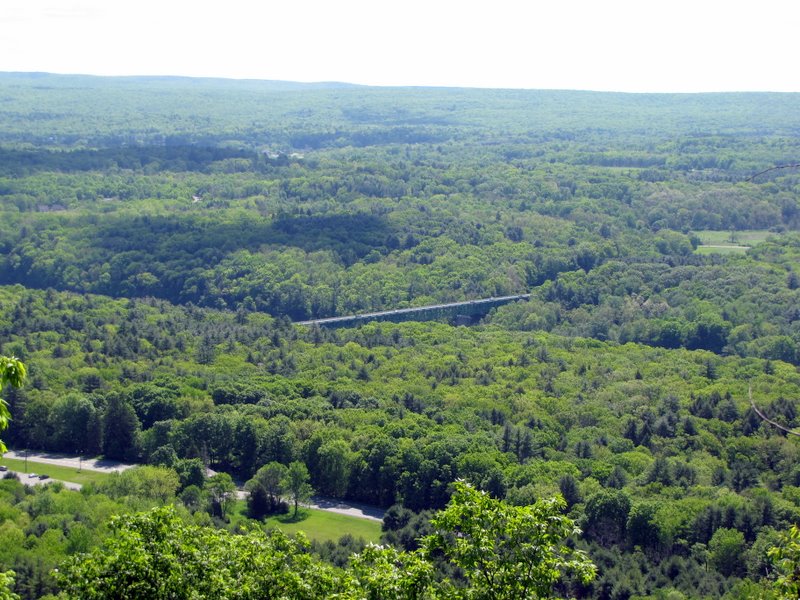 Route 206 bridge |
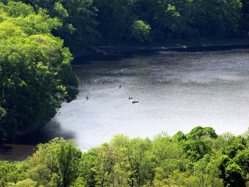 Kayakers in the Delaware |
 New Jersey below |
 |
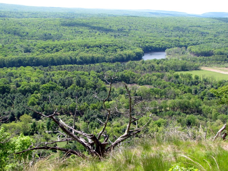 The Delaware |
 |
 |
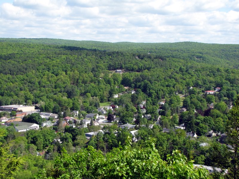
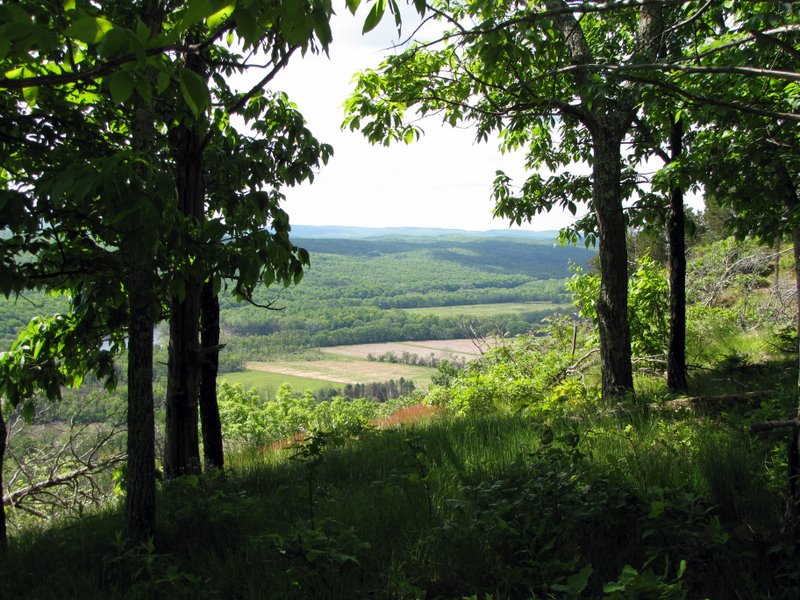 Scattered farmlands |
 |
 View SE |
 View NE |
 Farms |
 [Photo by Laura] |
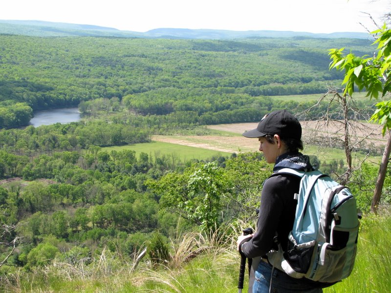
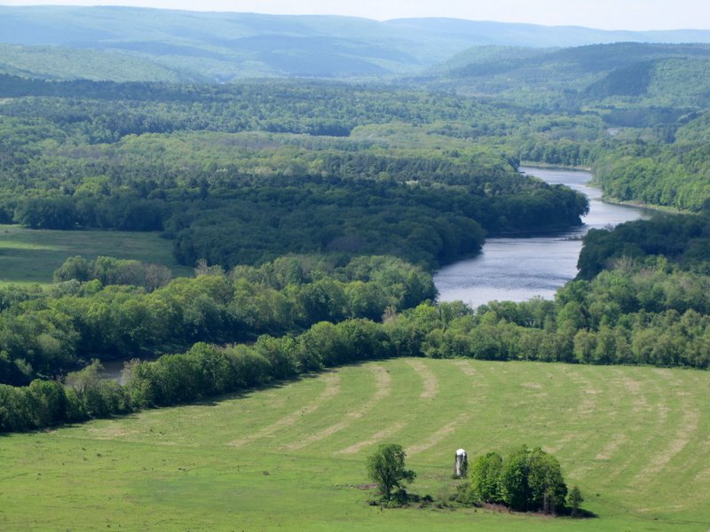 The winding Delaware |
 |
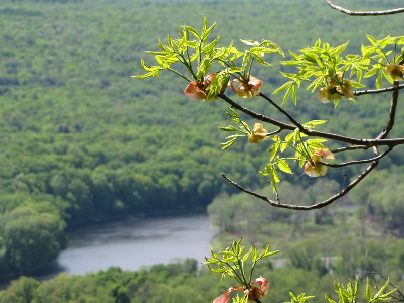 Buds |
 |
 |
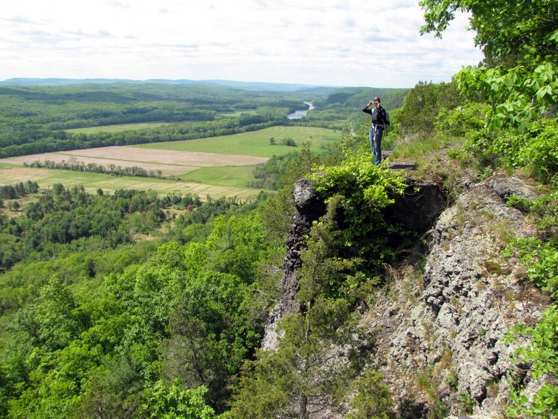
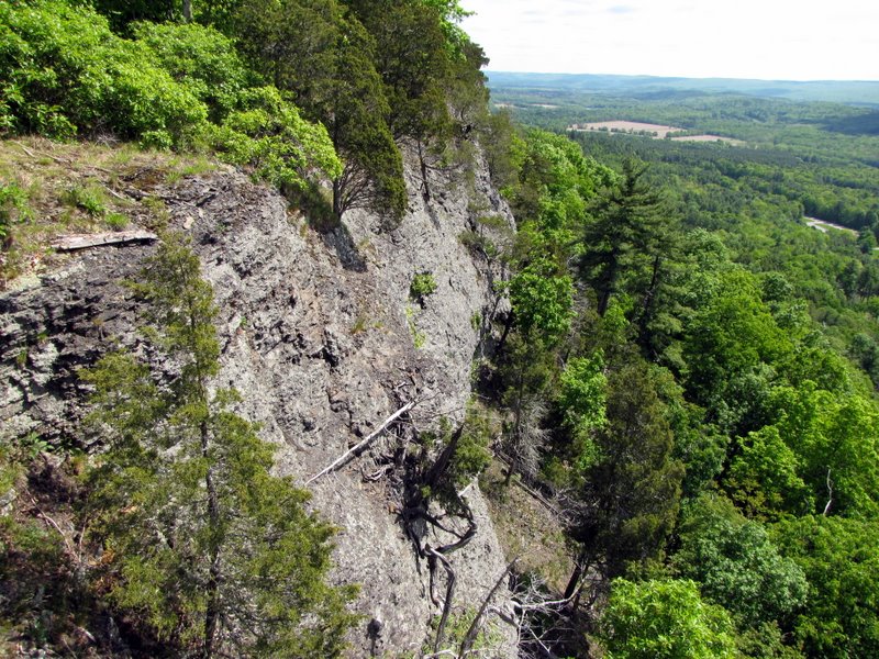
 Careful there! |
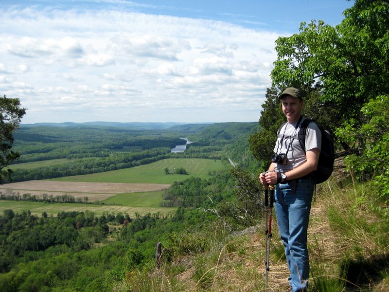
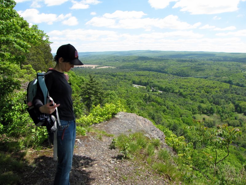
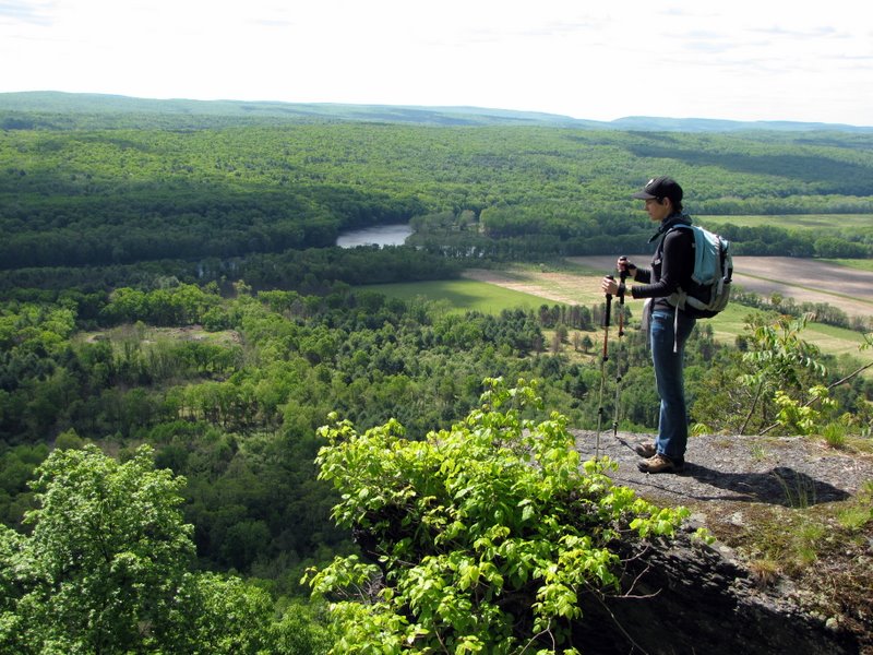 At Riverview Overlook |
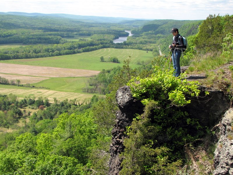 What a view! |
 |
 [Photo by Laura] |
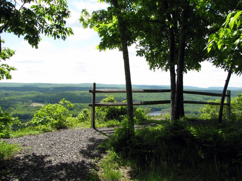
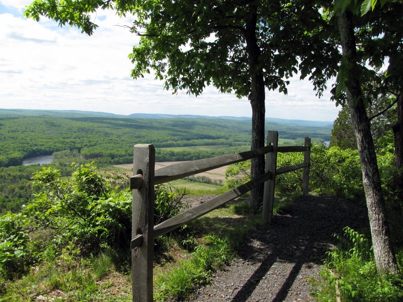 Fence at the overlook |
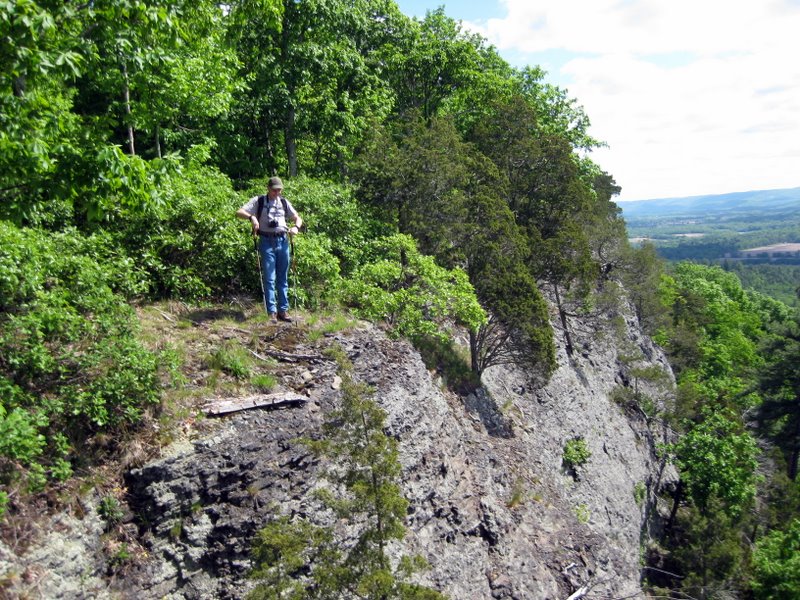
 View NE |
 Steep drop! |
 |
 [Photo by Laura] |
 |
 Continuing SW on Cliff Trail |
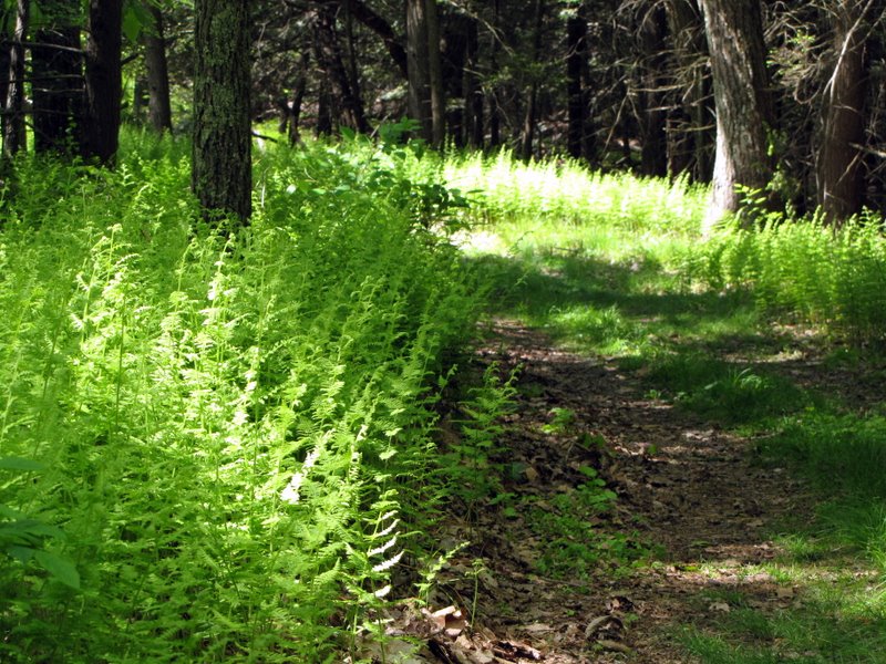 Beautiful ferns |
 Dragonfly |
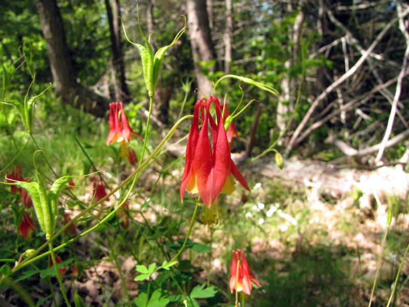 Wildflowers |
 |
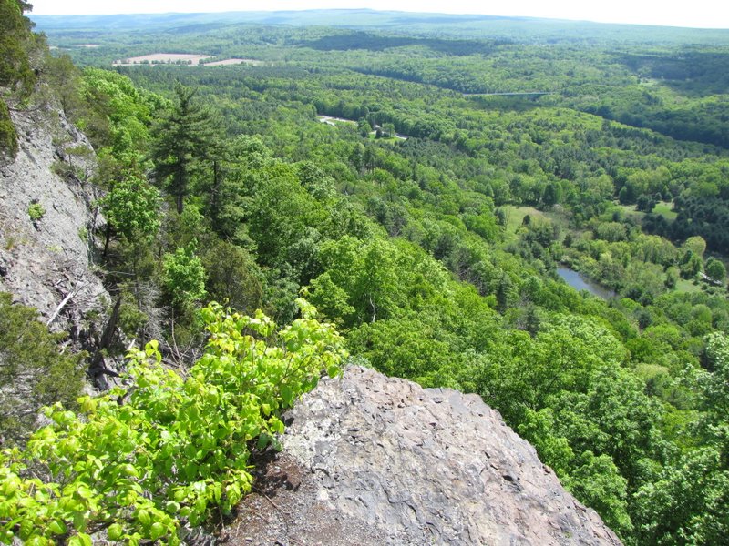
 Another partial view |
 Trail to the pond |
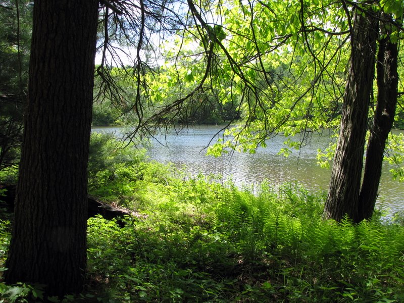 Cliff Park pond |
 Laura among ferns |
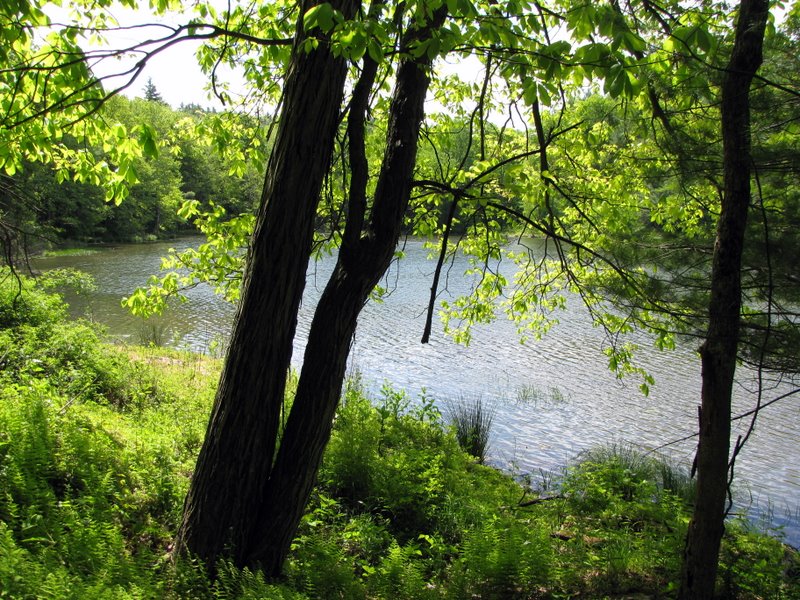 The pond |
 Counting rings |
 Our lunch spot |
 [Photo by Laura] |
 Contact Station way below |
 |
 |
 |
 Turkey vulture |
 Steep Quarry Trail |
 Wildflowers |

|
|
Photographs and content copyright © Dan Balogh Web design by Dan Balogh |