 |
|
This is Hike 15 ("Mount Hope Historical Park")
from the book
Hiking the Road to Ruins with the addition of a hike along the White and Blue trails which are east of the parking lot (Steinberg
mentions these trails at the beginning of his description, indicating that he'll say more about them later, but never does). We hiked in this park nearly
three years ago to the day but at that time we did Daniel Chazin's 2.7-mile hike which
stays on the blazed Orange and Red trails west of the parking area. This time we not only hiked everything in Chazin's hike, but also added
non-blazed trails and roads, bushwacking to ruins, and the aforementioned White and Blue trails. We actually hike every blazed trail in the park, and
then some. Total distance this time was 5.8 miles, with lots more ruins visited, thanks to Steinberg's description.
|
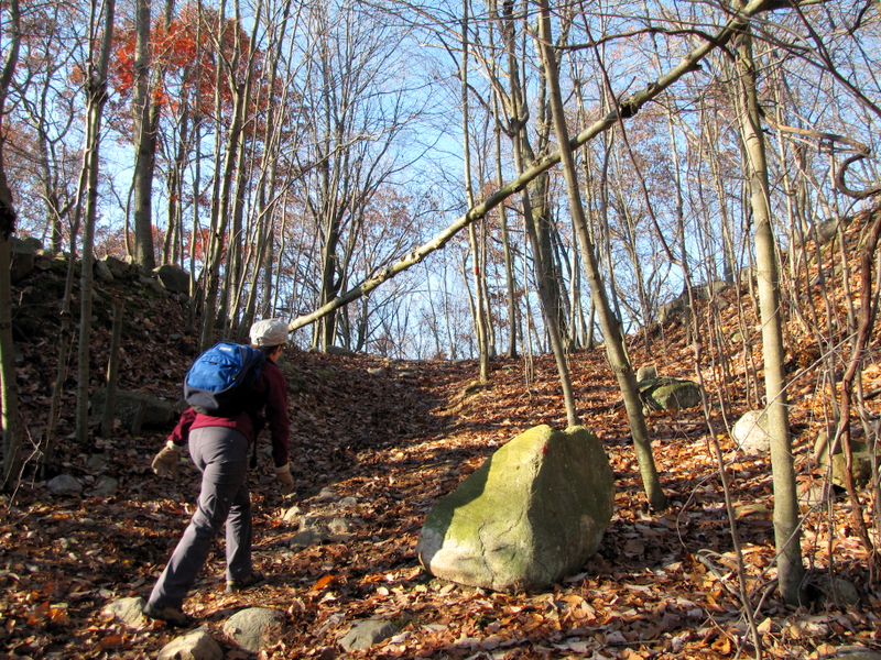
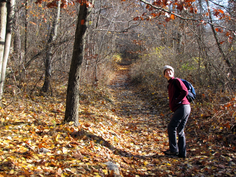
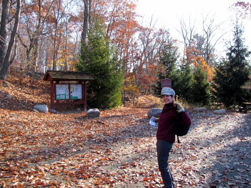 At the trail head |
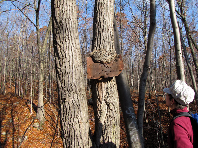
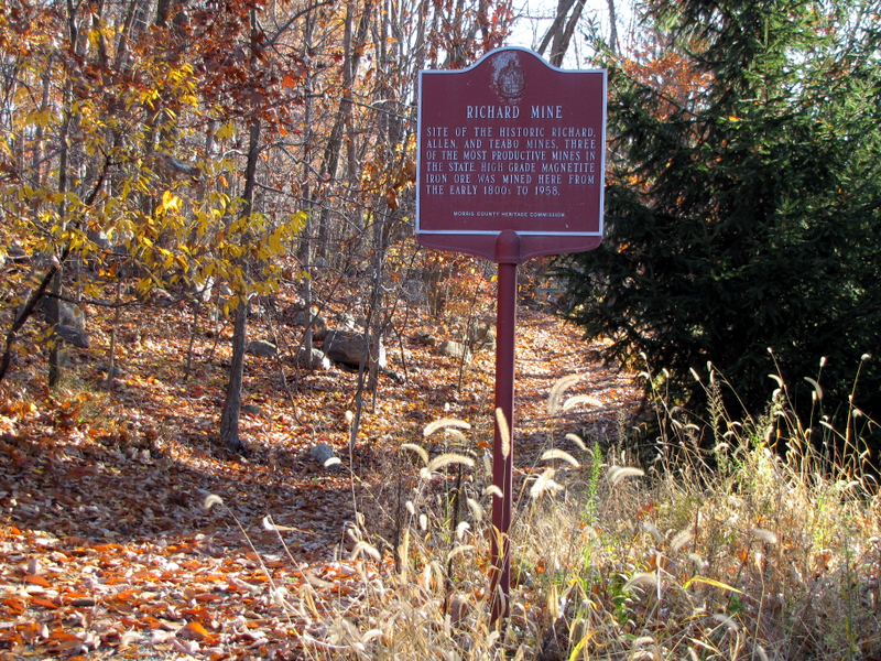 Sign for Richard Mine |
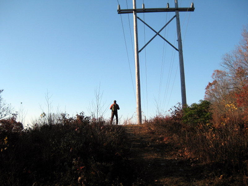
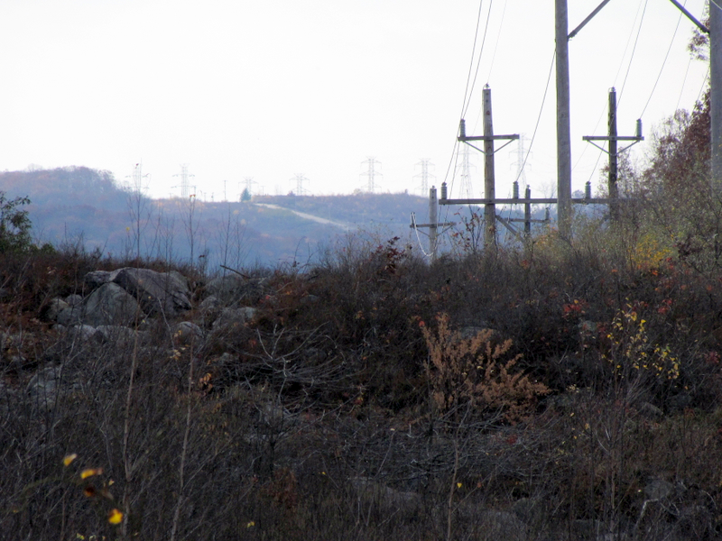
 Powerline cut looking west |
 Dan taking previous photo [photo by Laura] |
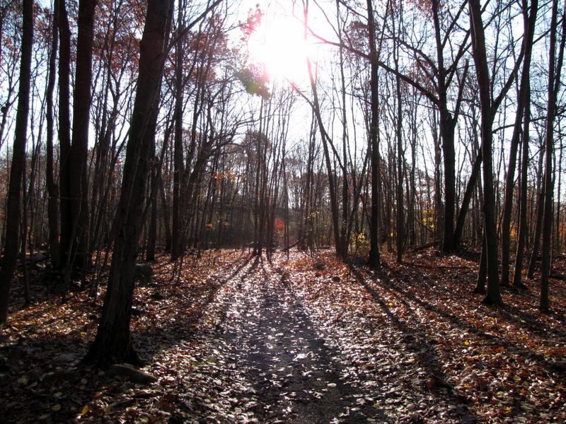 |
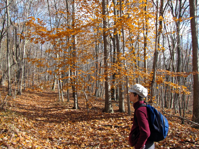
 Saplings on Red trail |
 |
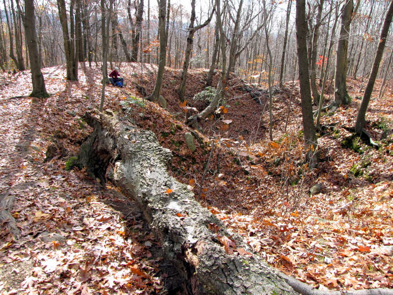
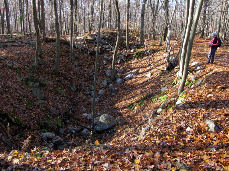 Neabo Mine #2 pits |
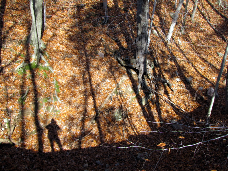
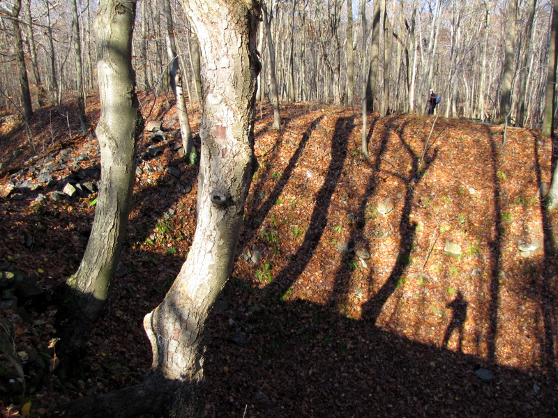 Laura on other side of giant pit (with Dan's shadow) |
 |
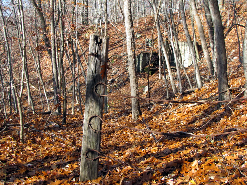
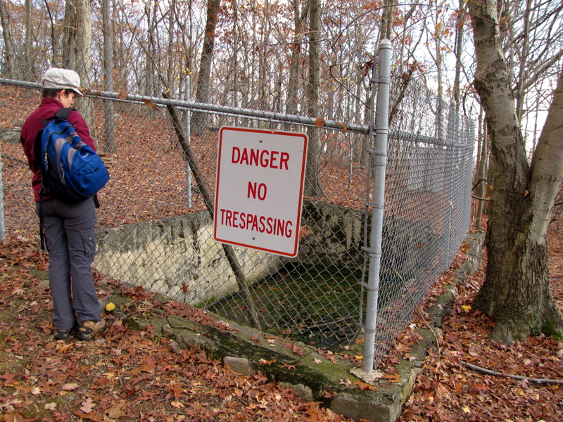
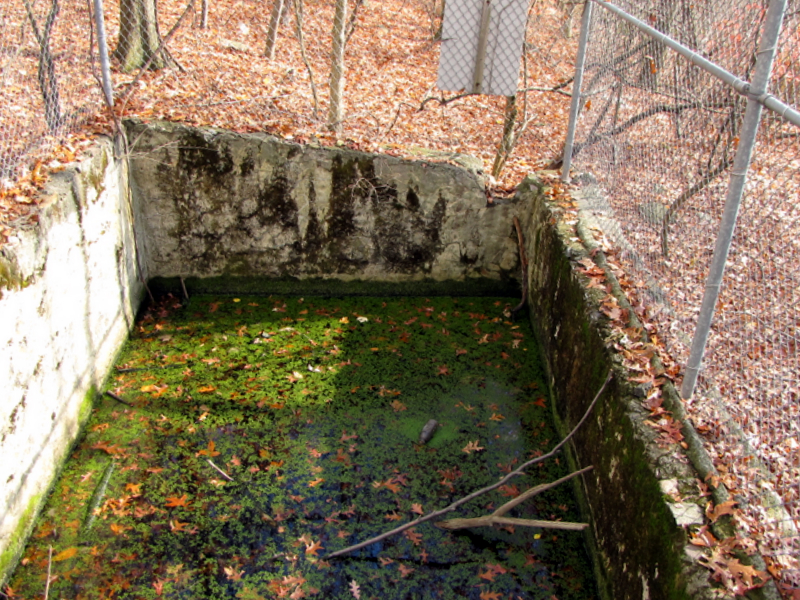
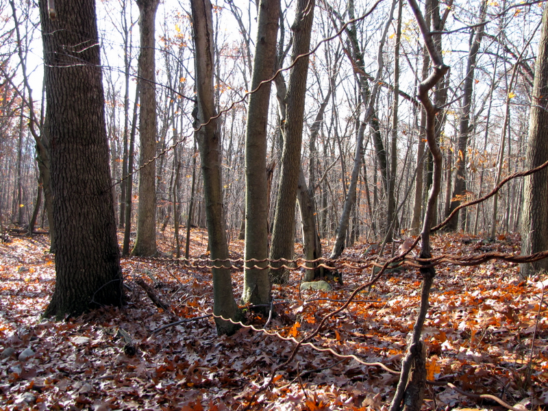 Fence from mining days |
 Another huge pit |
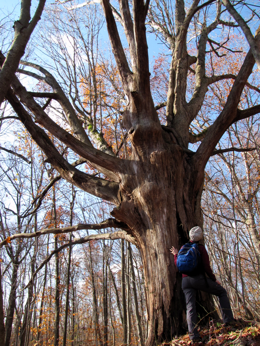
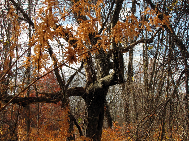
 Hungry tree |
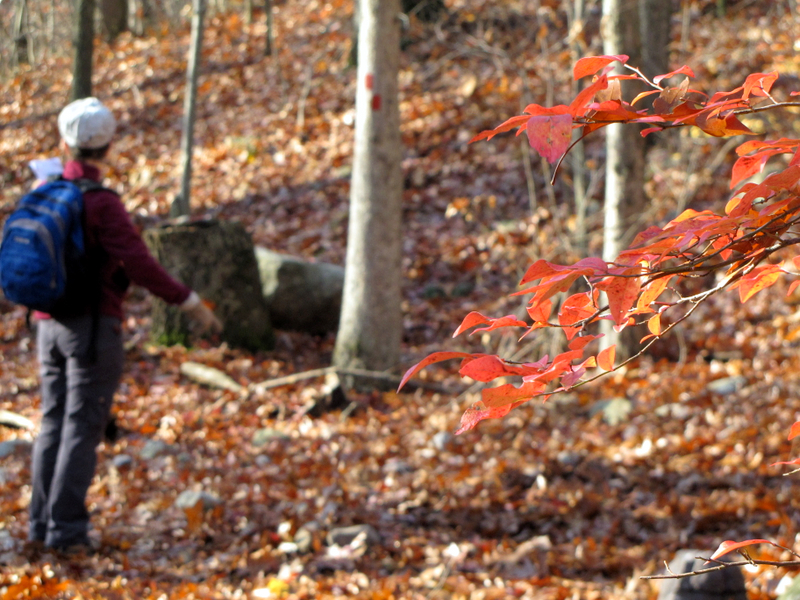
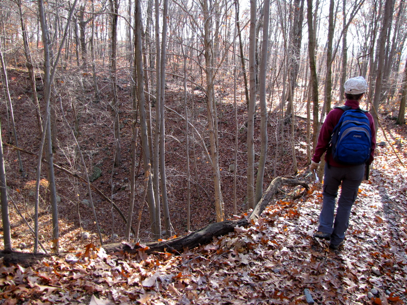
 What's this giant pit called? |
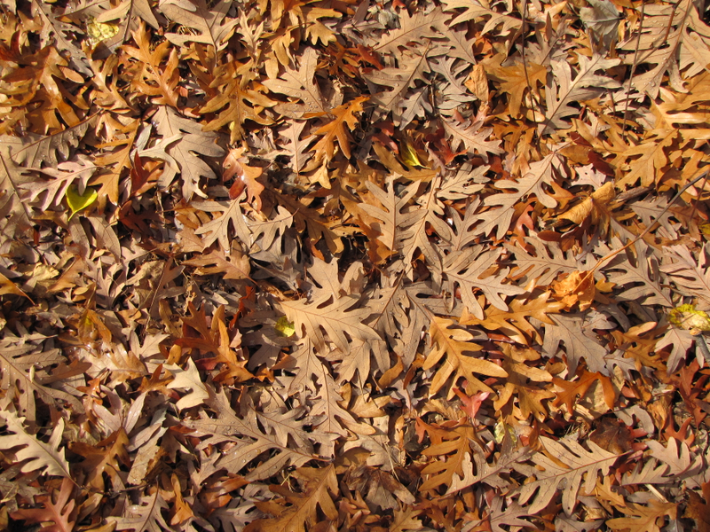
 Significant leaf drop |
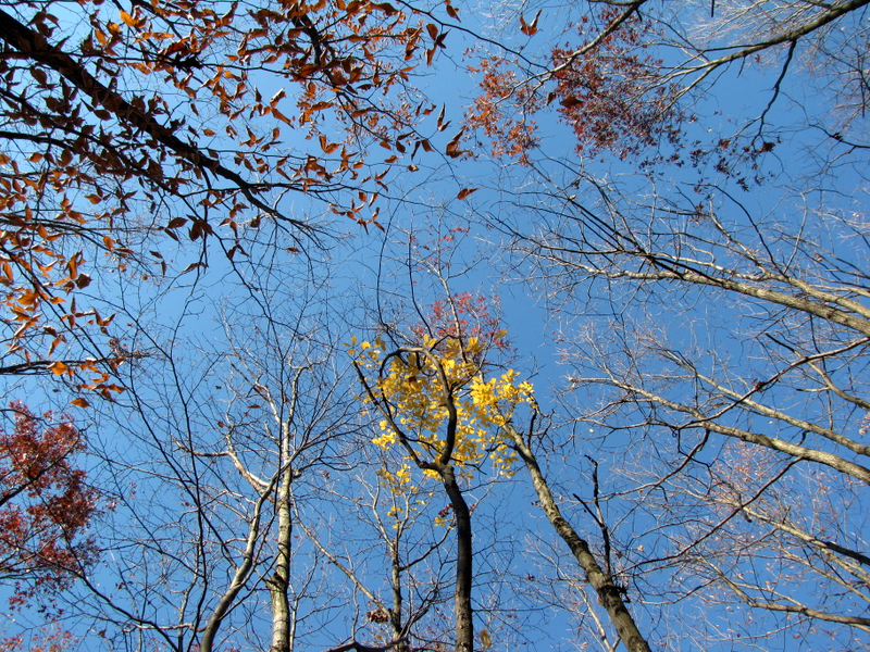 Mostly bare trees |
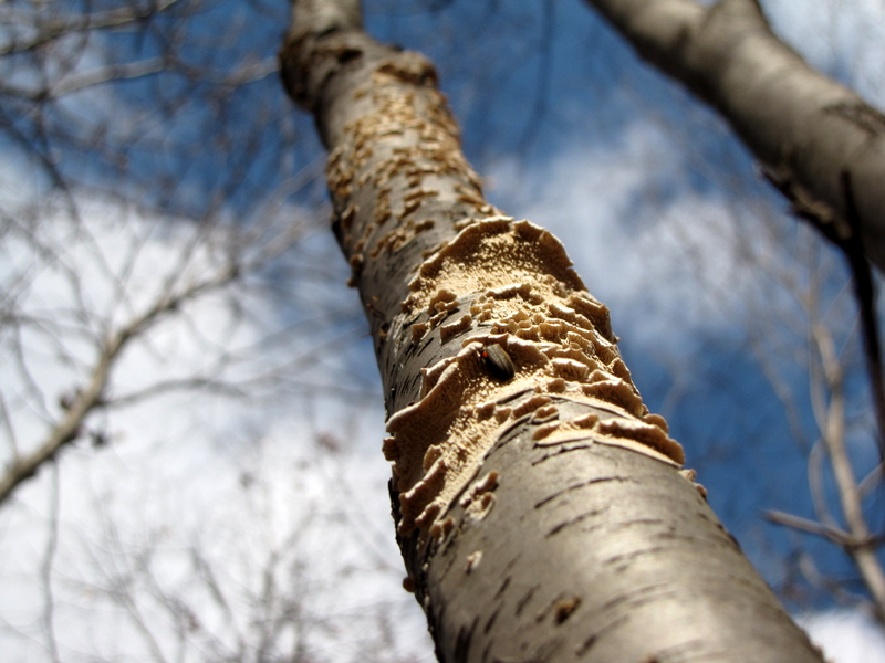
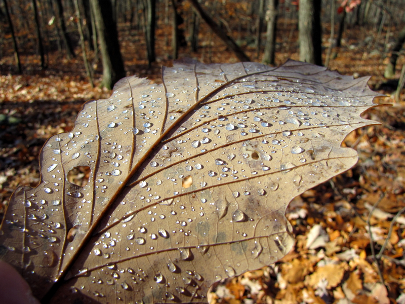 Macro shot of dew on leaf |
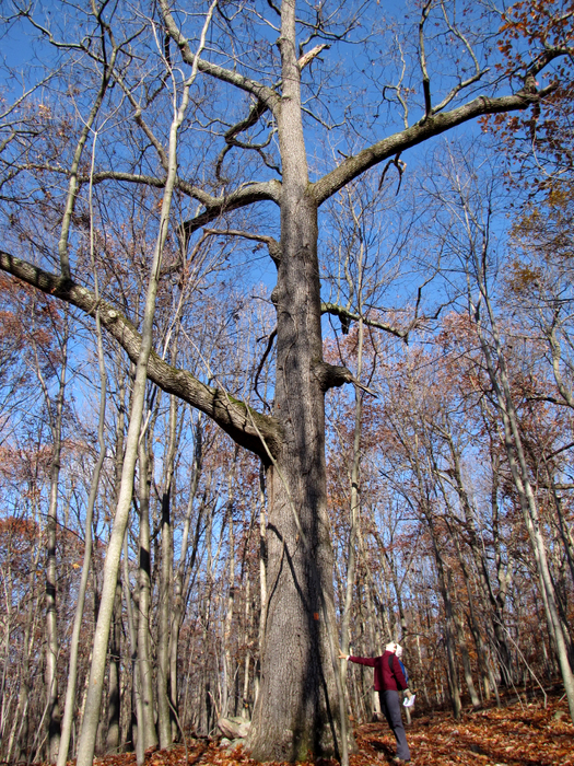 Old growth |
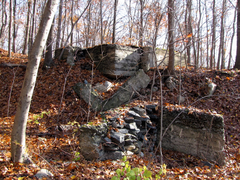
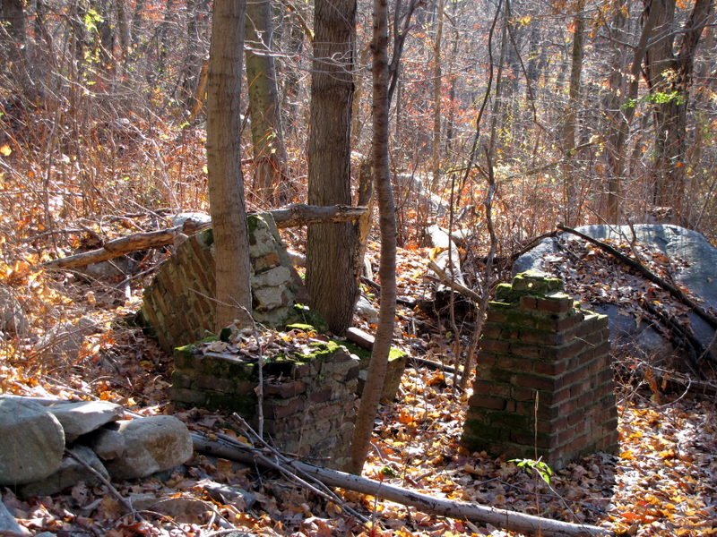 Ruins near Richard Mine #6 |
 Mt. Hope Mineral Railroad path |
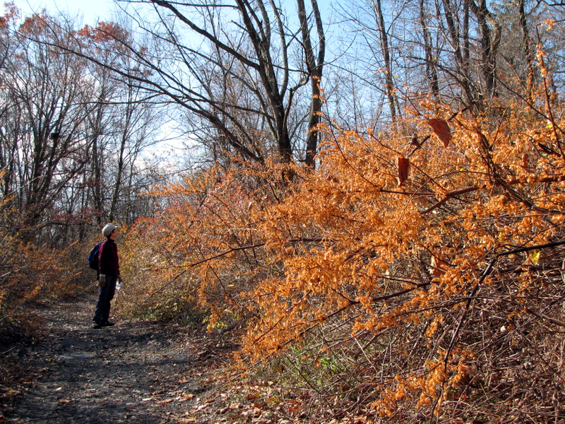
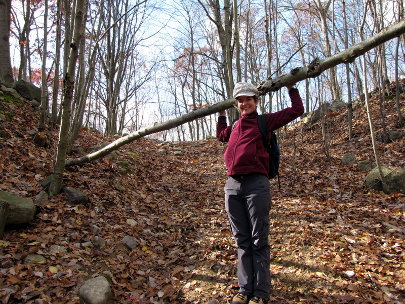
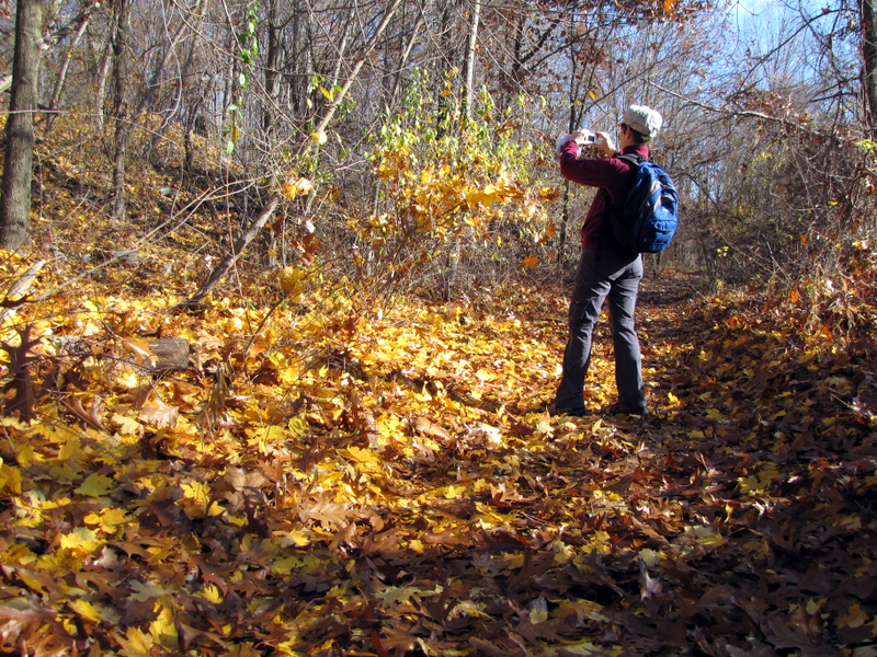 Photographing beauty |
 Yellow color on the RR path |
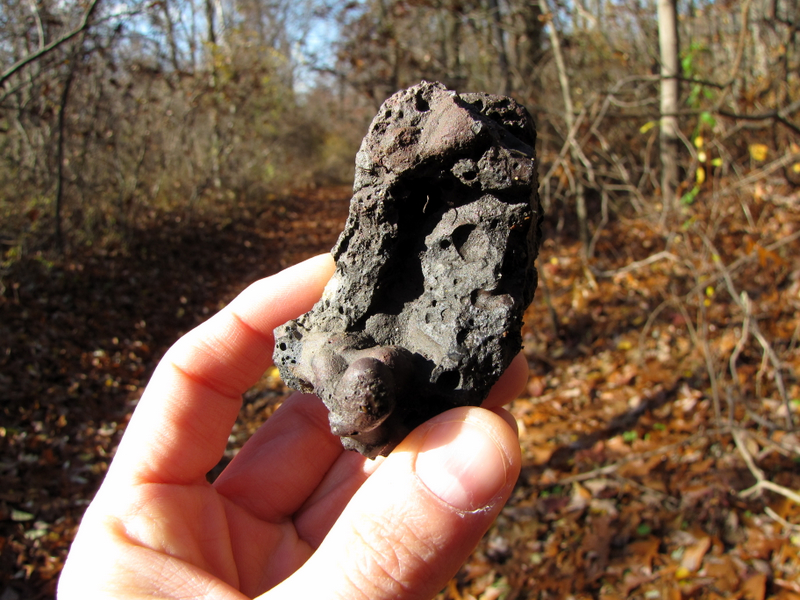 Fossilized lava |
 Ruins near Richard Mind #2 |
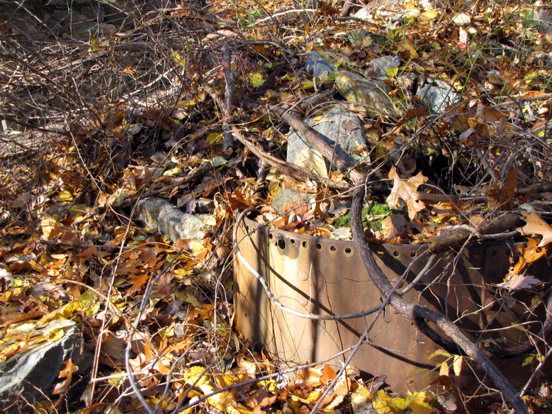
 A rail from the Mineral RR |
 More old growth |
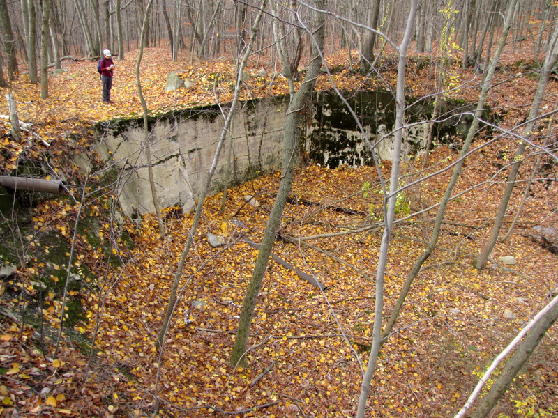
 Ruins on hill at Richard #6 |
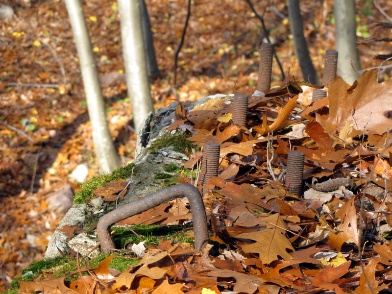
 Bent water pipe at Richard #6 |
 |
 Another abandoned structure at Richard #6 |
 |
 |
 Deep mine pit at Richard #6 |
 Fence protecting major mine shaft |
 Let's explore this mine shaft |
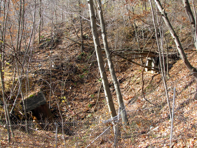 View from below |
 Back on unblazed road heading east |
 Exploratory pit |
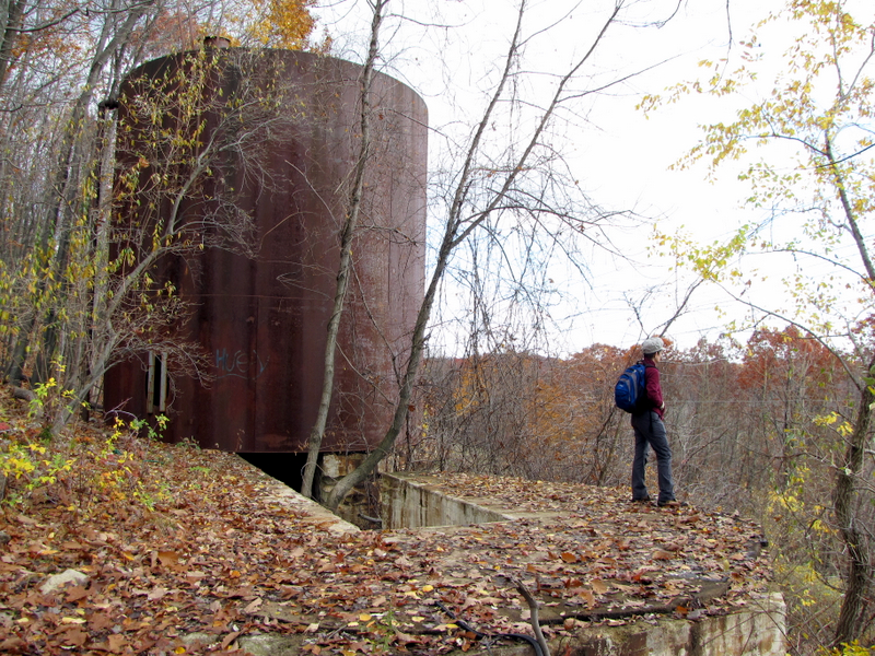
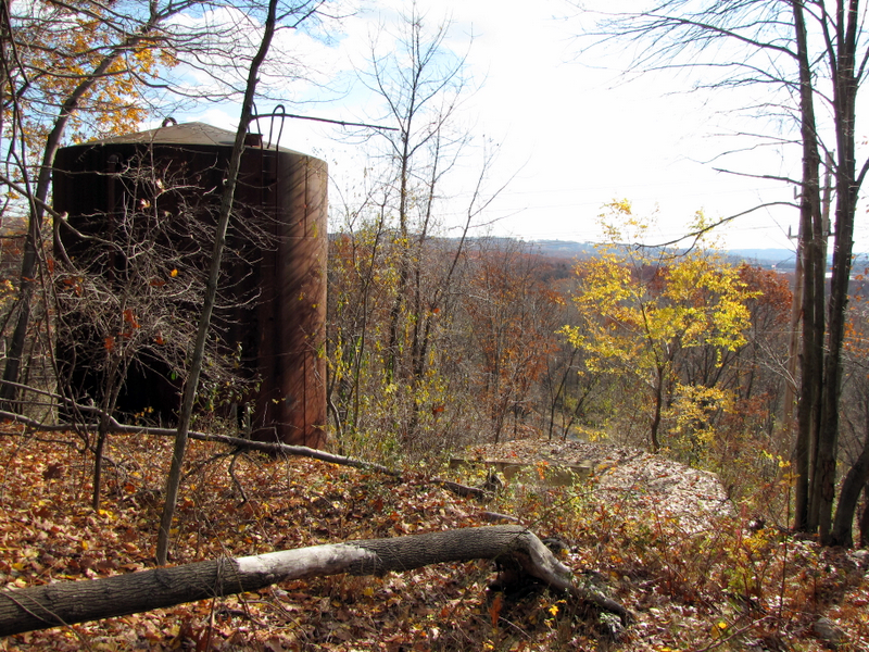 Abandoned water tower |
 Tower and foundation |
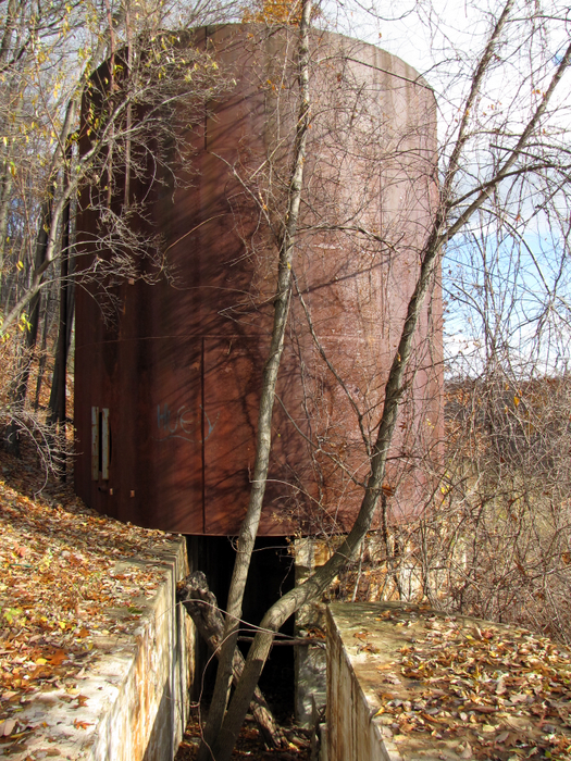
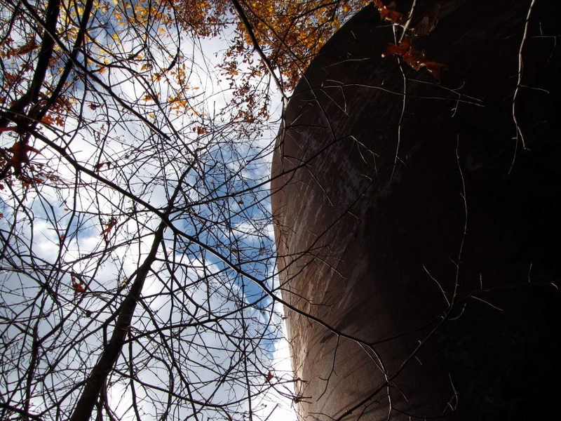 Side of tower from below |
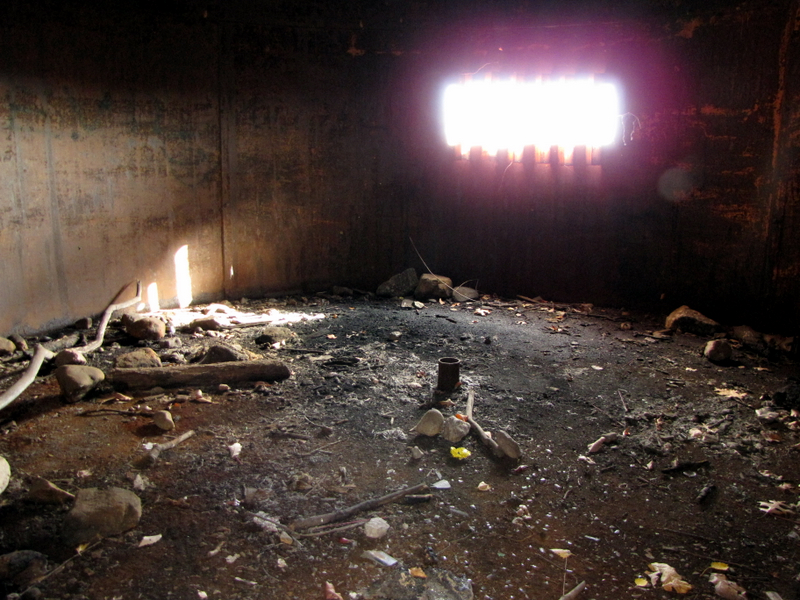 View inside |
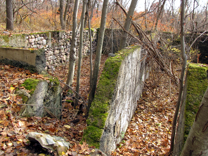
 Concrete foundation |
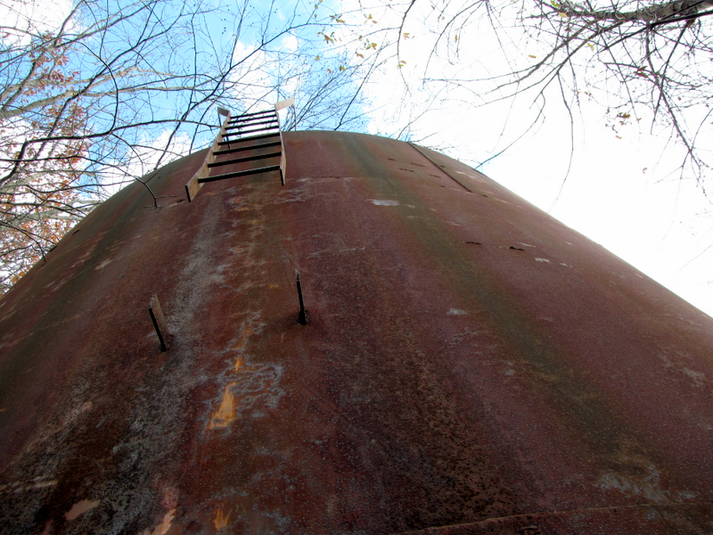 Ladder on tower |
 |
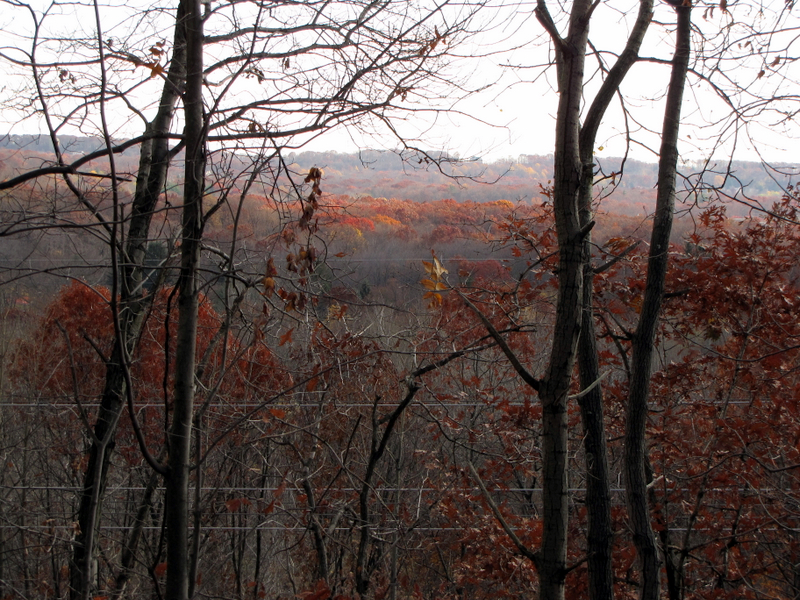
 View south from tower |
 |
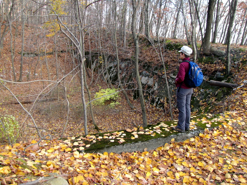
 Ruins near Richard #2 |
 |
 |
 |
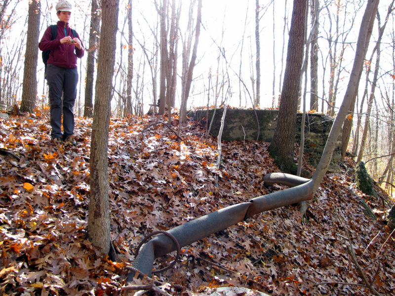
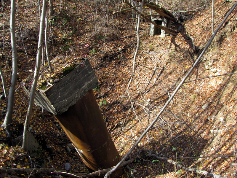 Better view of major mine shaft with huge pipe |
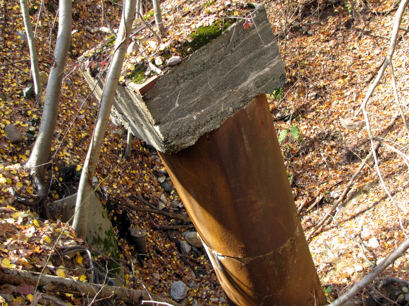 Pipe is capped with concrete slab |
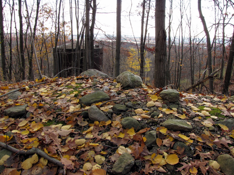
 Color on unmarked road below water tower |
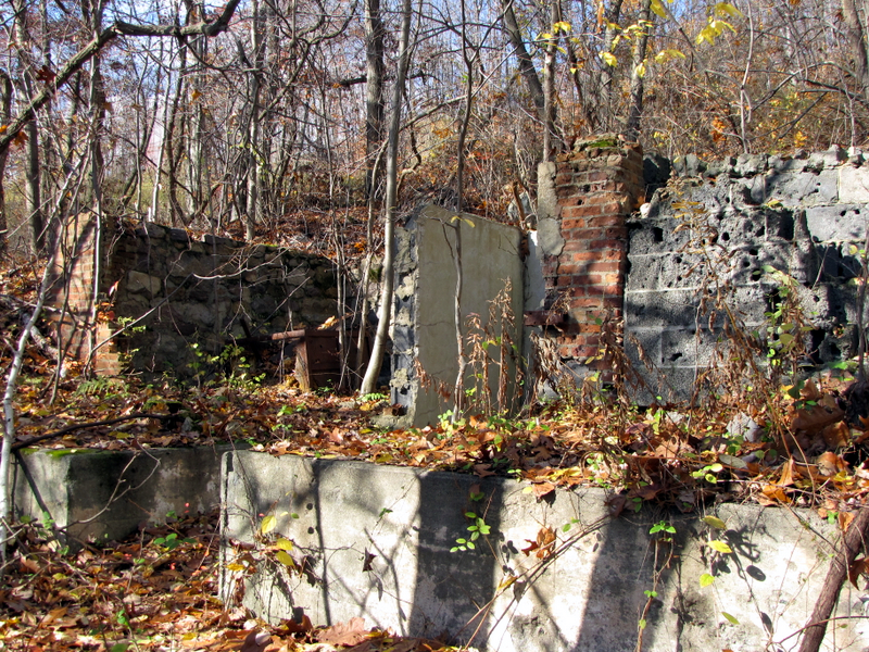 Ruins of house on unmarked road |
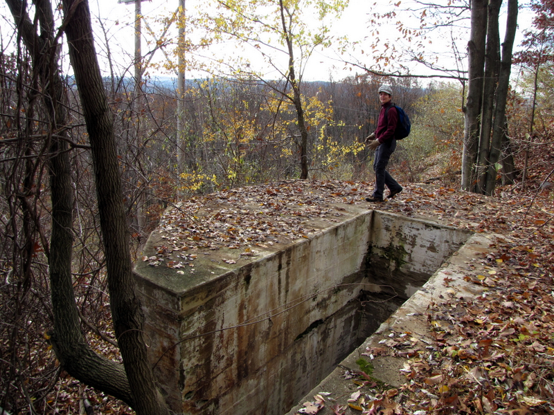
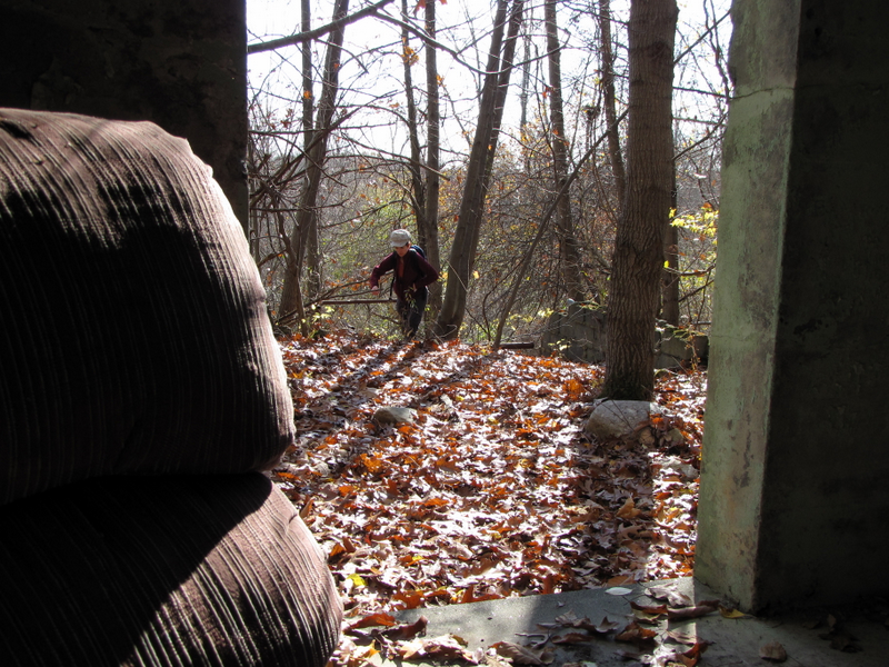 View from small concrete structure |
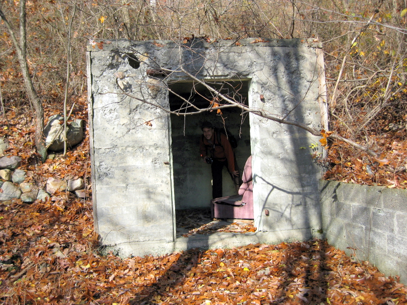 Dan inside structure [photo by Laura] |
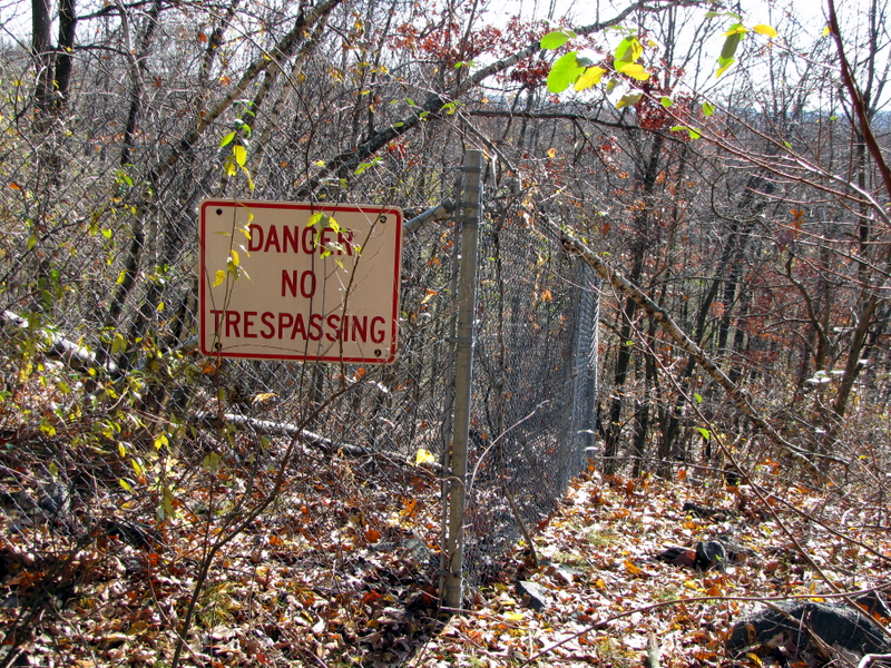
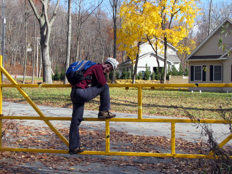 Gate at end of unmarked road |
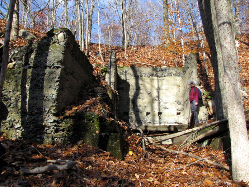
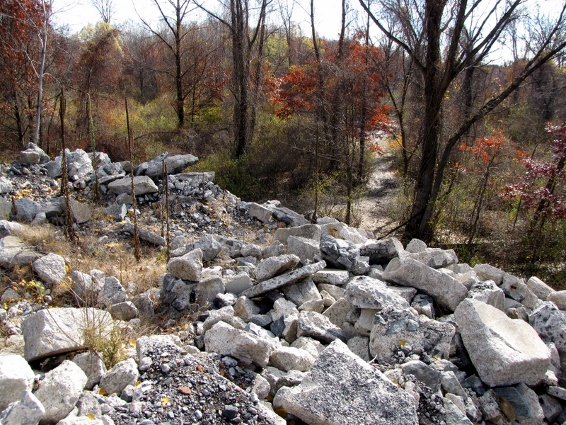
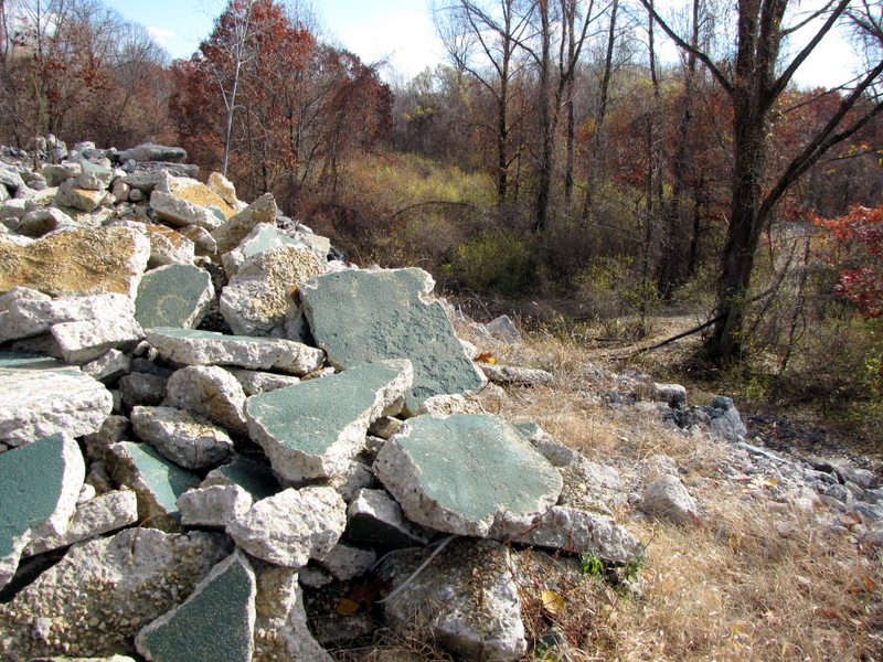
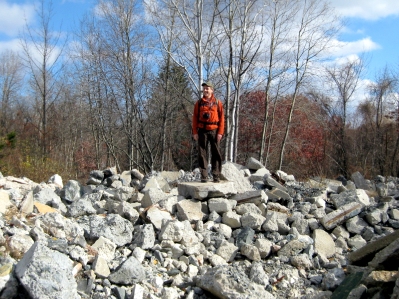 Dan on rubble of building [photo by Laura] |
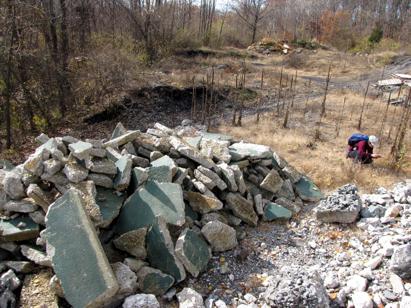 |
 This used to be a graffiti-ridden building |
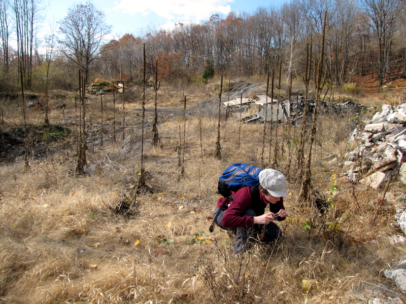 Laura photographing ... |
 ... this |
 |
 Huge mine north of water tower |
 View south from huge mine |
 Another angle of huge mine |
 Mine tailings and water tower |
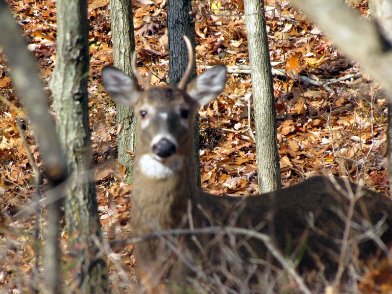 Curious buck |
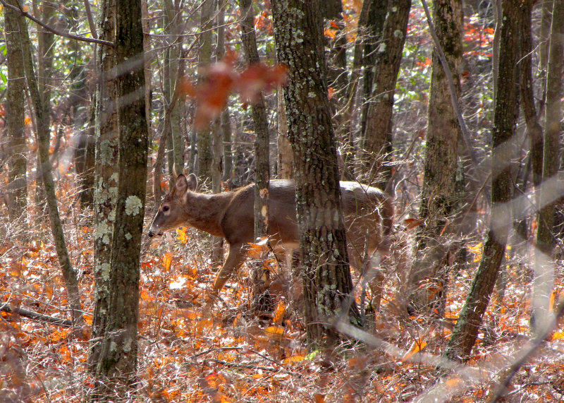 Not curious for very long |
 |
 |
 |
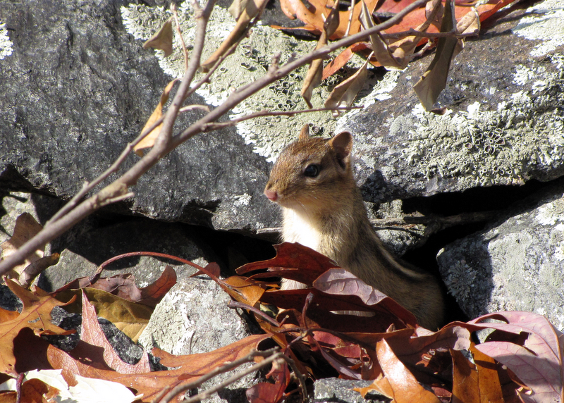
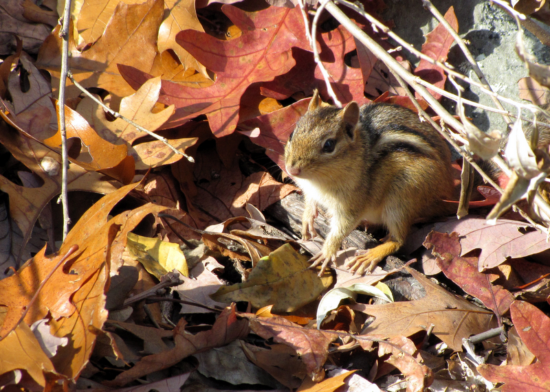 Chipmunk on White trail |
 |
 |
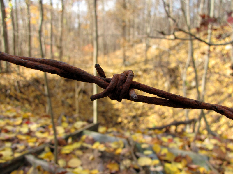 Barbed wire at Old Teabo #2 |
 Another dangerous opening at Teabo #2 |
 View over fence |
 Our lunch spot ... |
 ... at Old Teabo #2 |
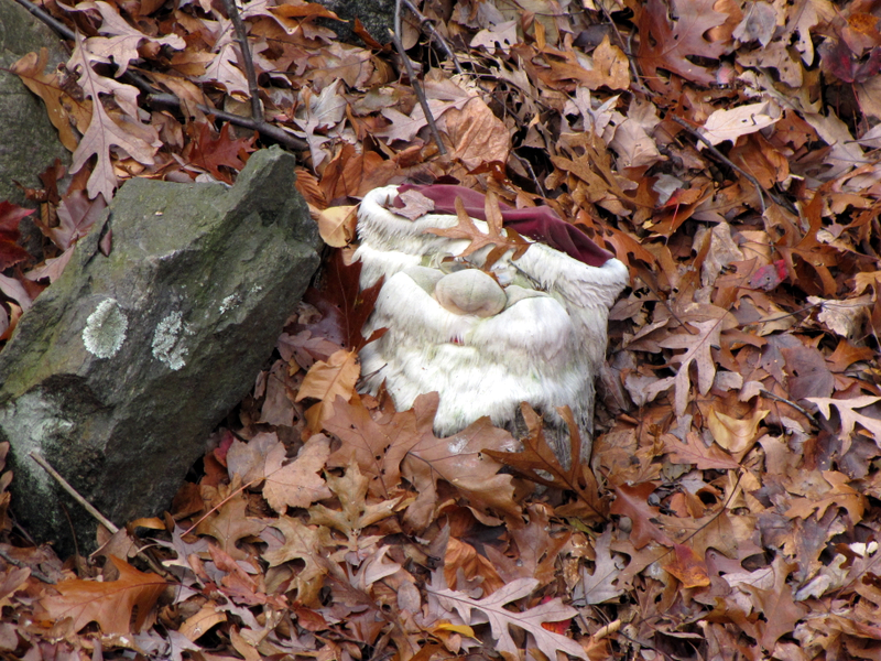 Santa fell in the mine |
 View from Blue Trail |
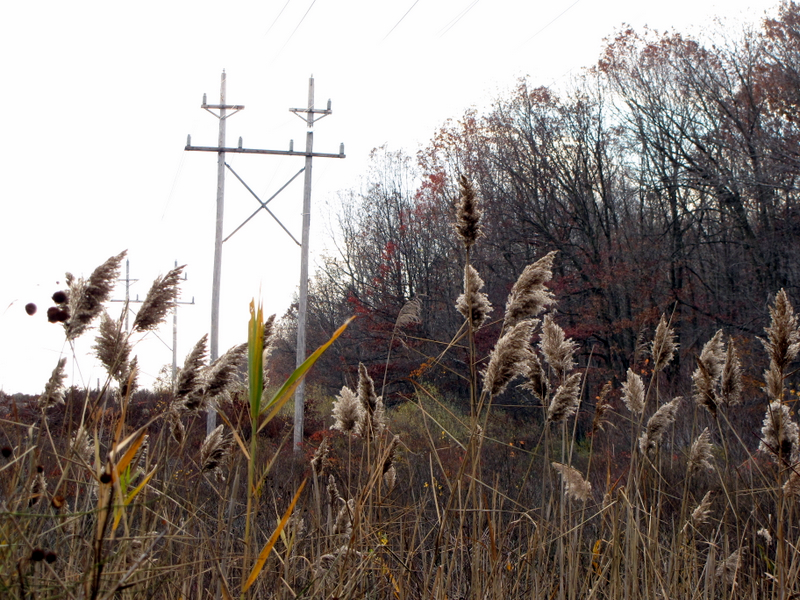 Phragmites on Blue Trail |

|
|
Photographs and content copyright © Dan Balogh Web design by Dan Balogh |