 |
|
Just two weeks ago, we visited this beautiful preserve for the first time. We hiked all of the trails
in the southern part of the area. At that time we planned on returning to do the trails in the northern part. Last Saturday was the great blizzard of January, 2016.
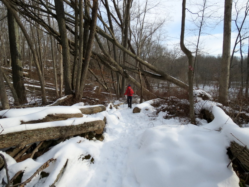
My town got 29 inches of snow, one of the two or three towns with the most snow on the east coast. Obviously hiking wasn't on our schedule last weekend. But today, after
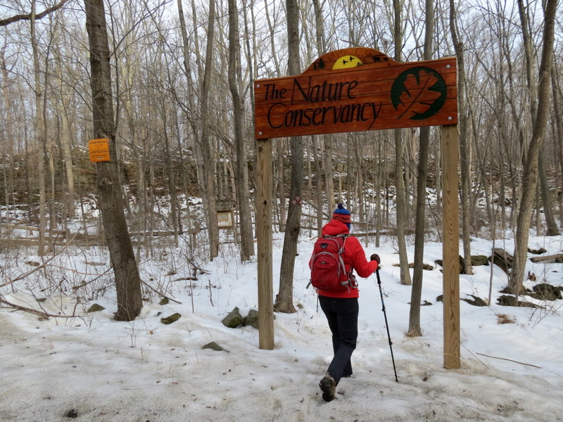
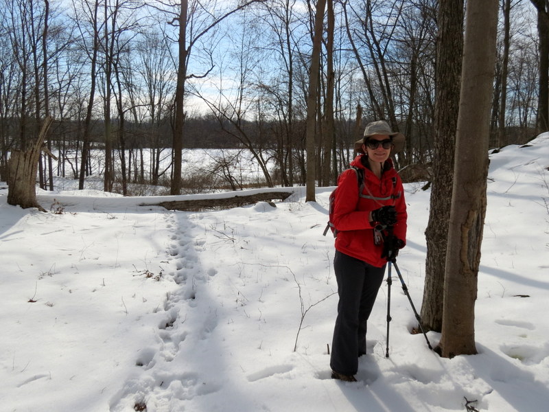
a week of snow melt (at least half melted from our front yard), we headed back to Muckshaw, intending on parking in the lot adjacent to the churck on Route 206, to do the
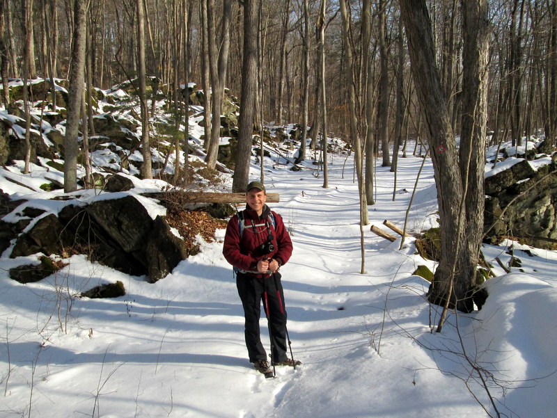
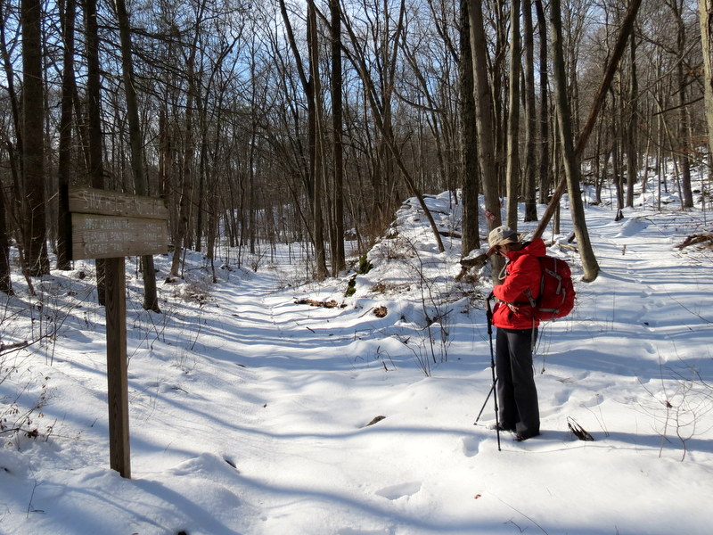
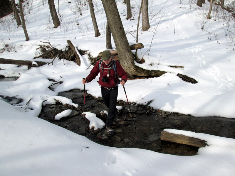
northern trails. But when we got there, the lot wasn't plowed. So we headed back to the lot on Fredon Road, for the Whittingham WMA, and crossed the street (just like two
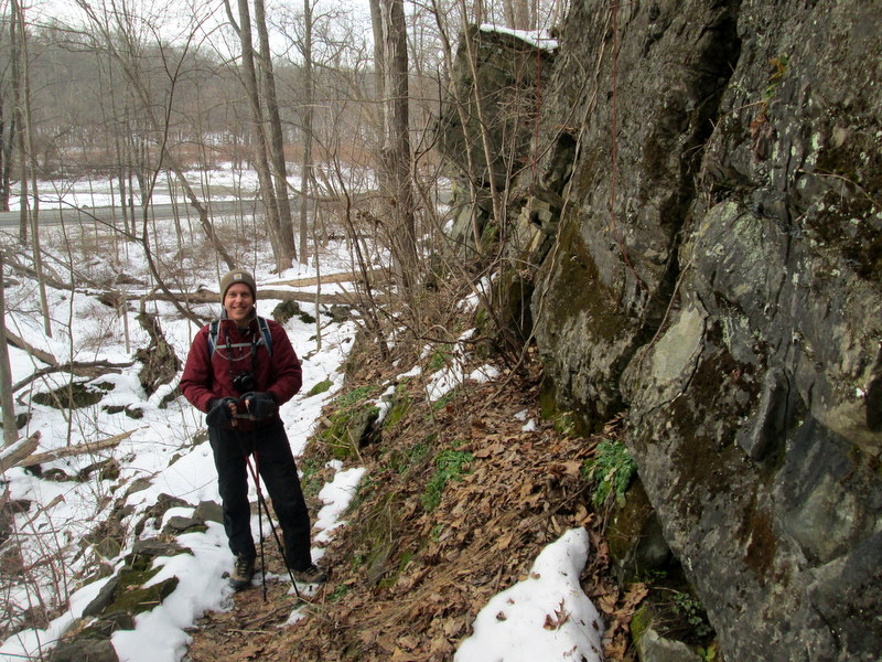
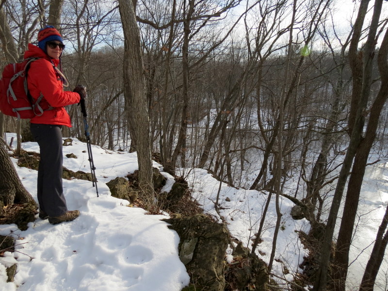
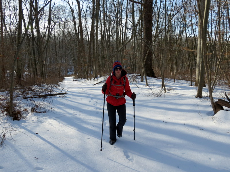
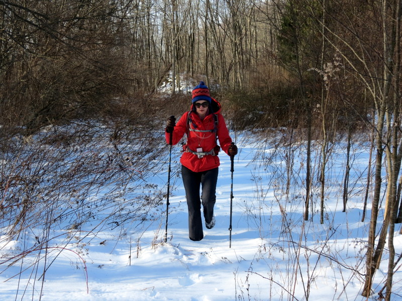
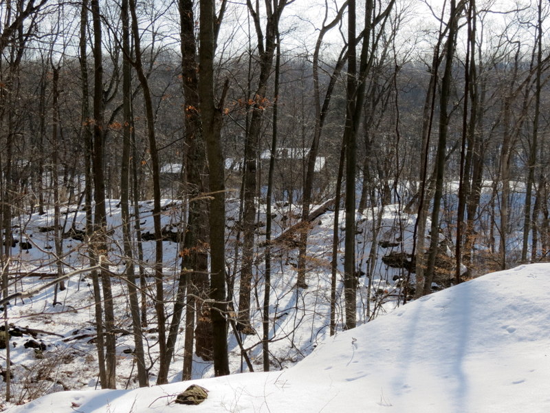
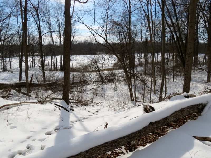
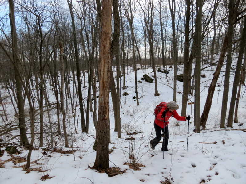
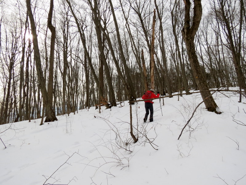
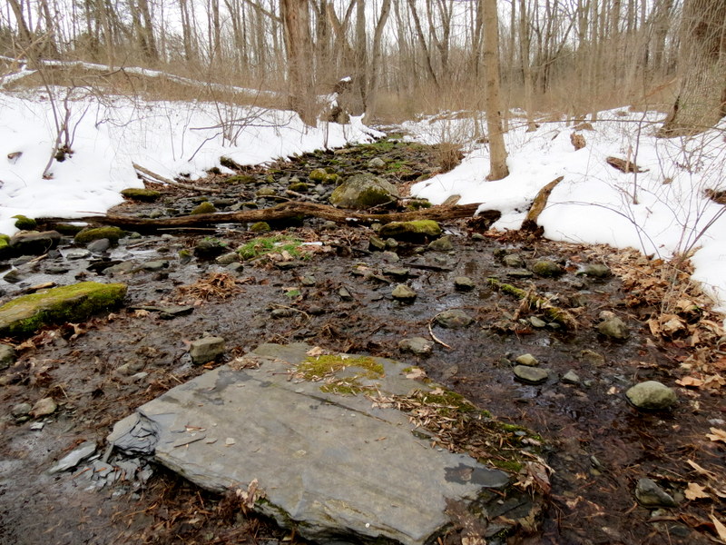
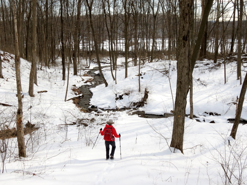
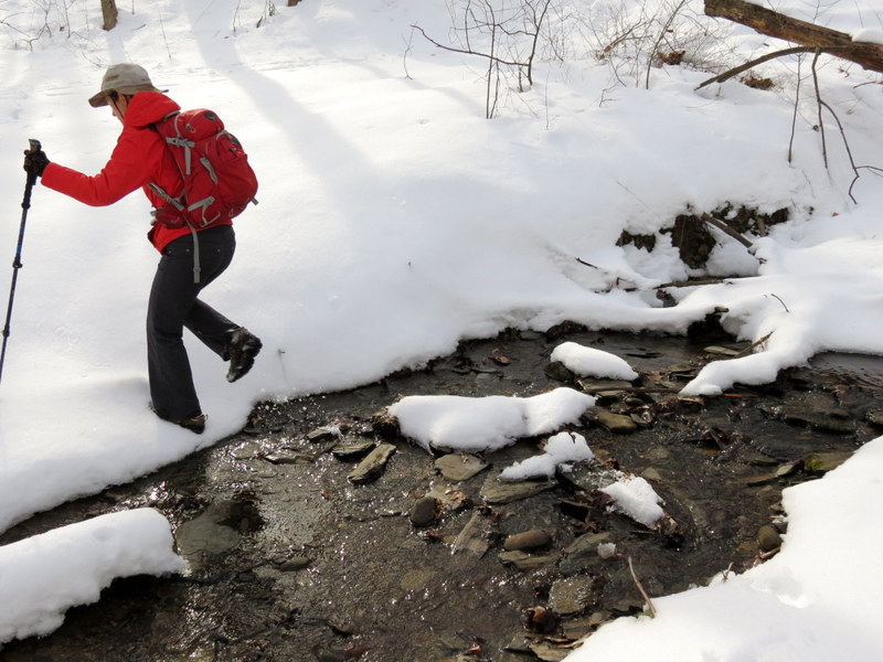
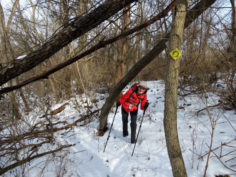
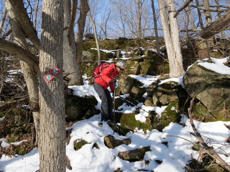
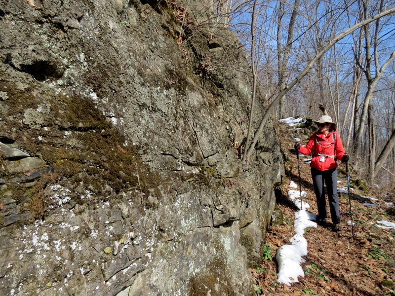
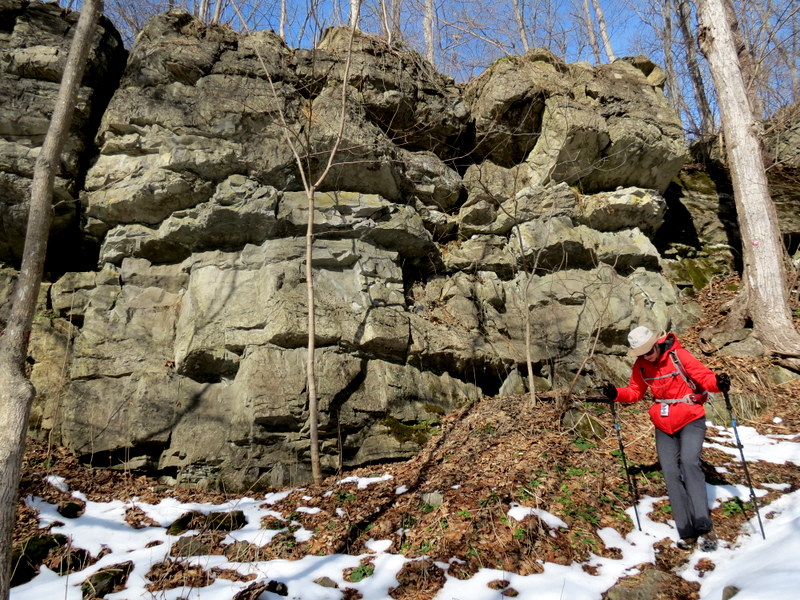
weeks ago). This made for a longer hike, and in the snow (at times a foot deep), it took a bit longer than we thought.
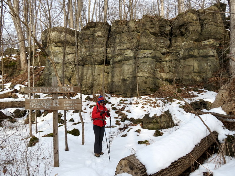
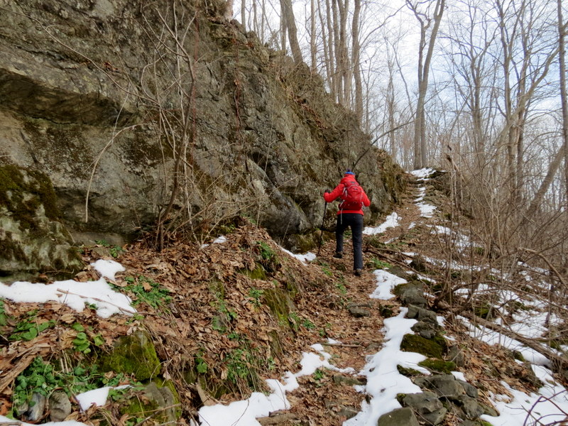
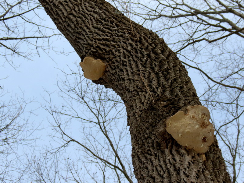
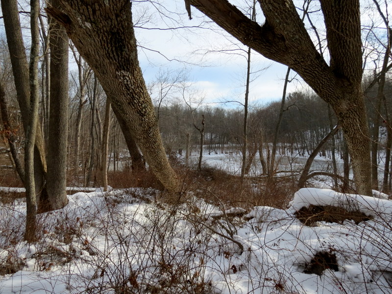
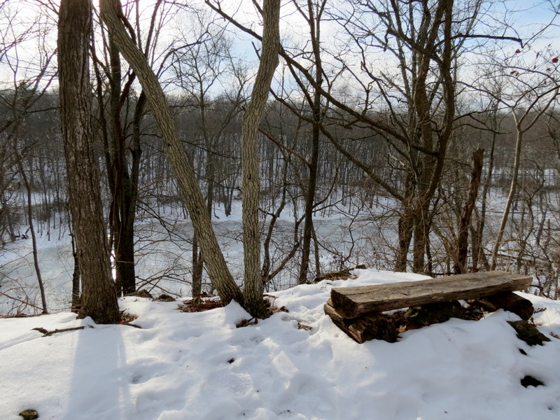
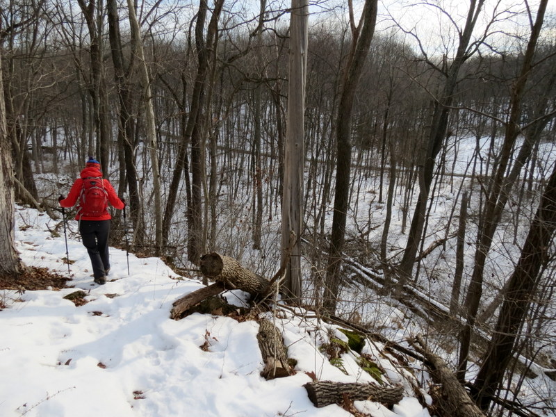
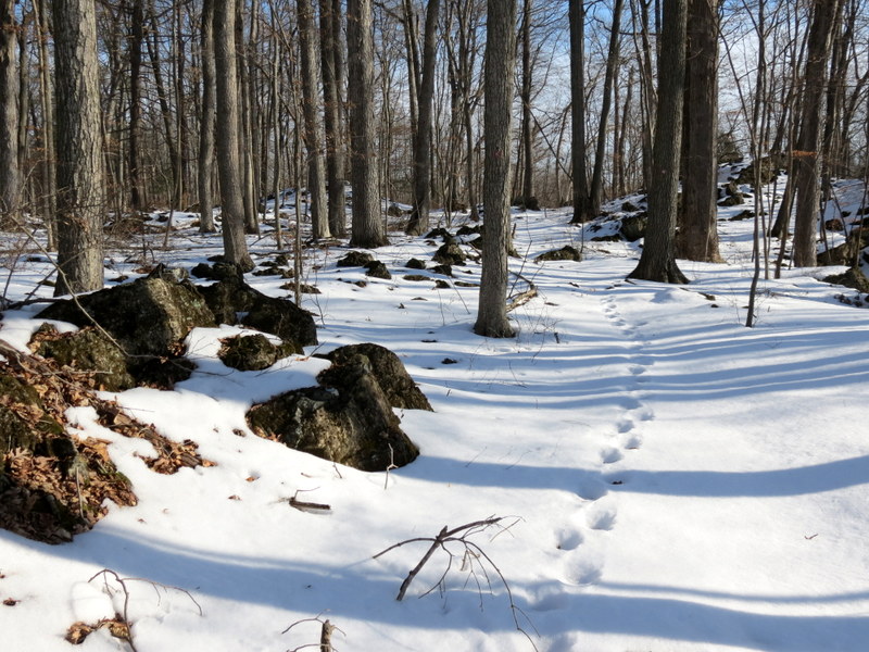
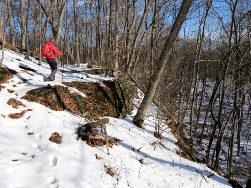
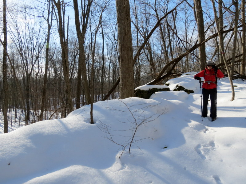
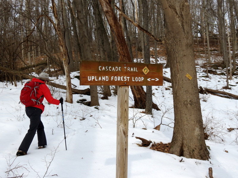
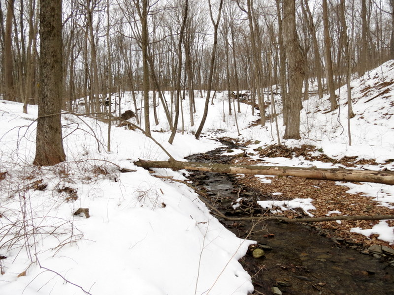
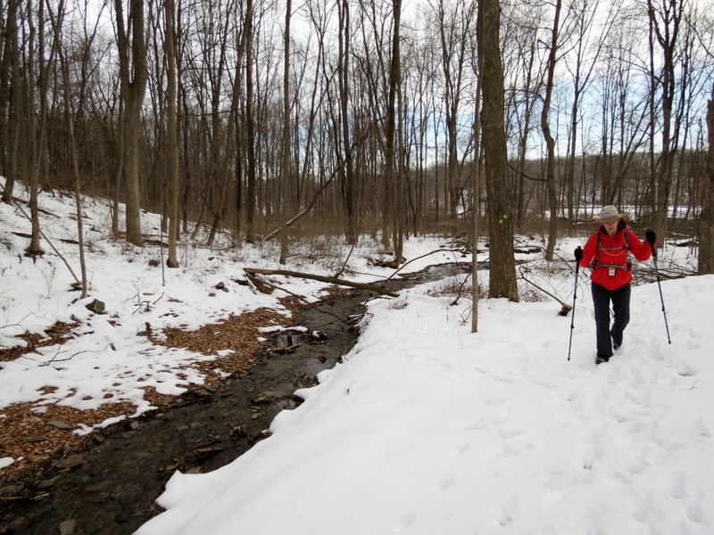
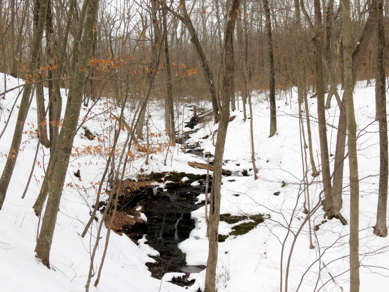
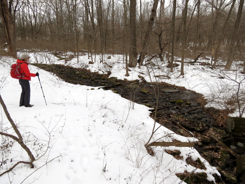
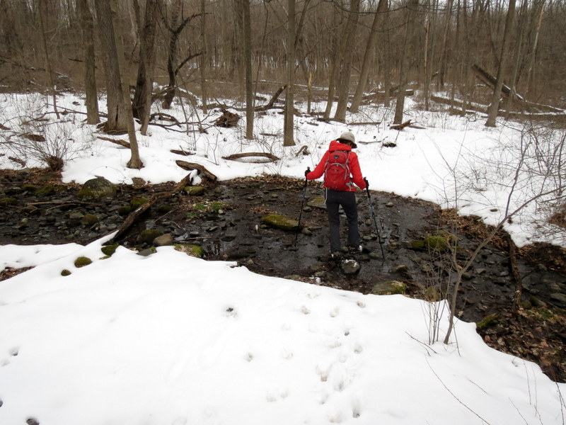
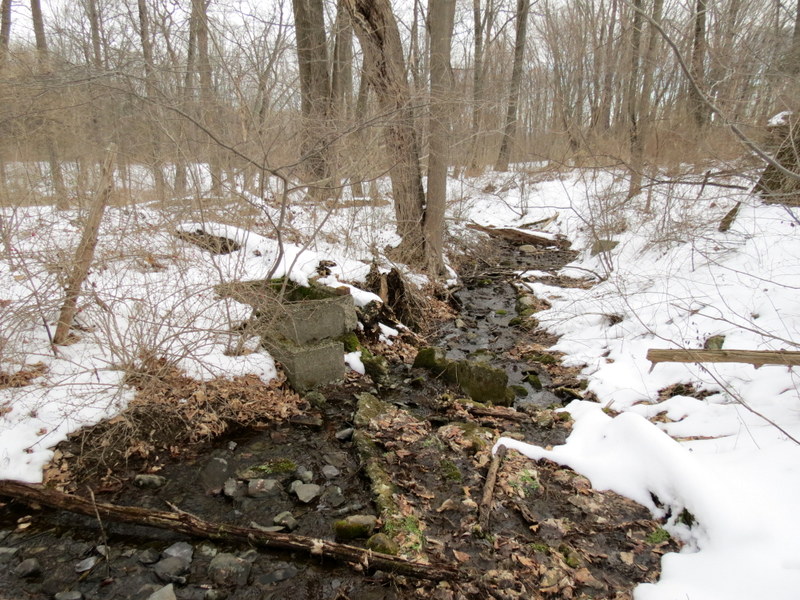
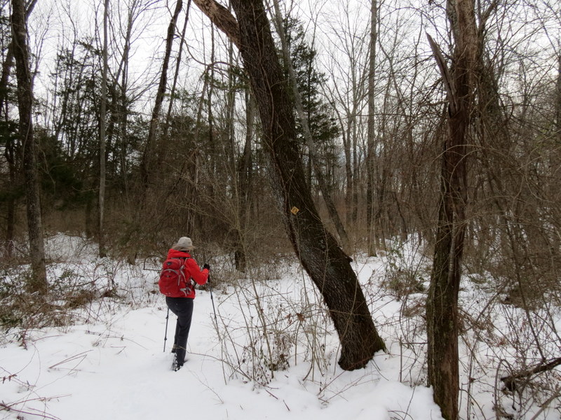
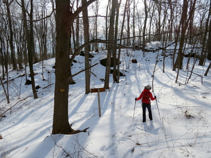
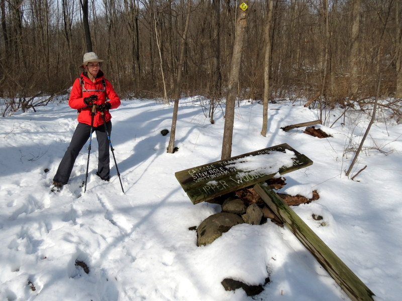
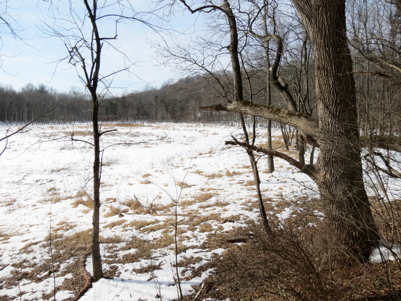
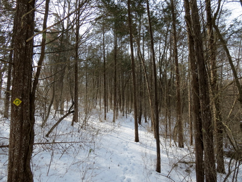
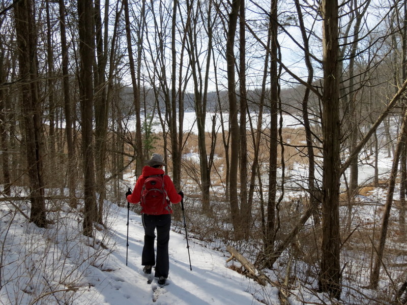
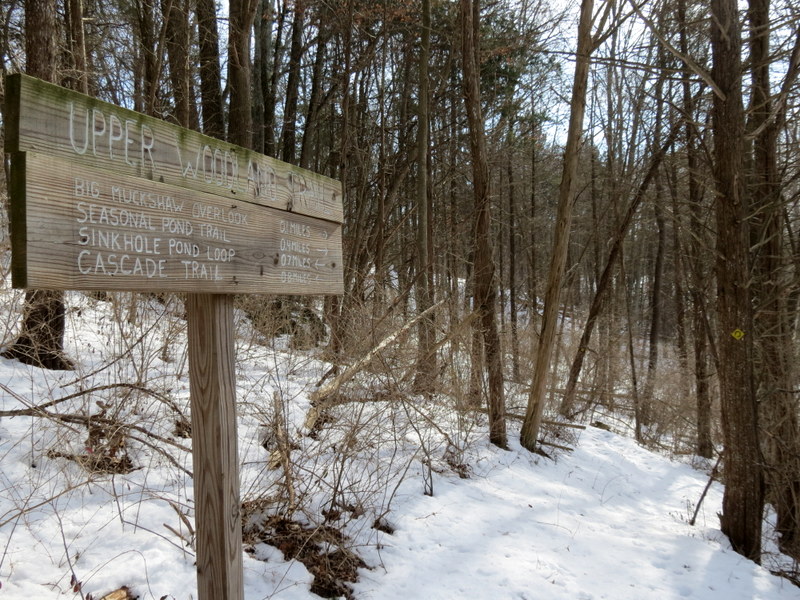
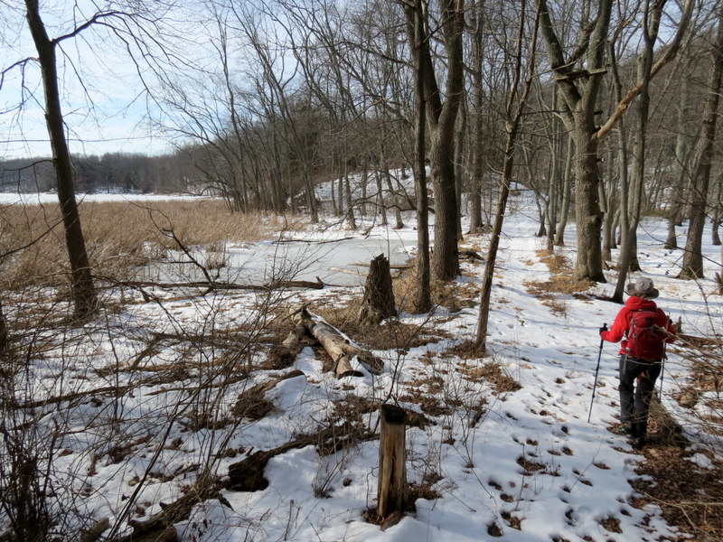
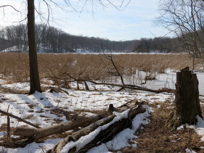
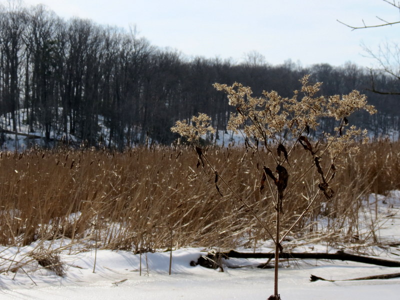
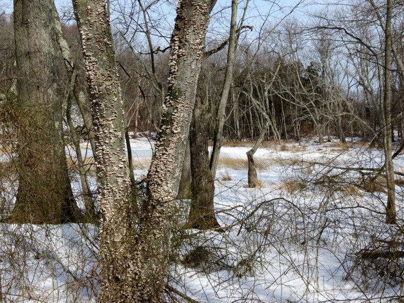
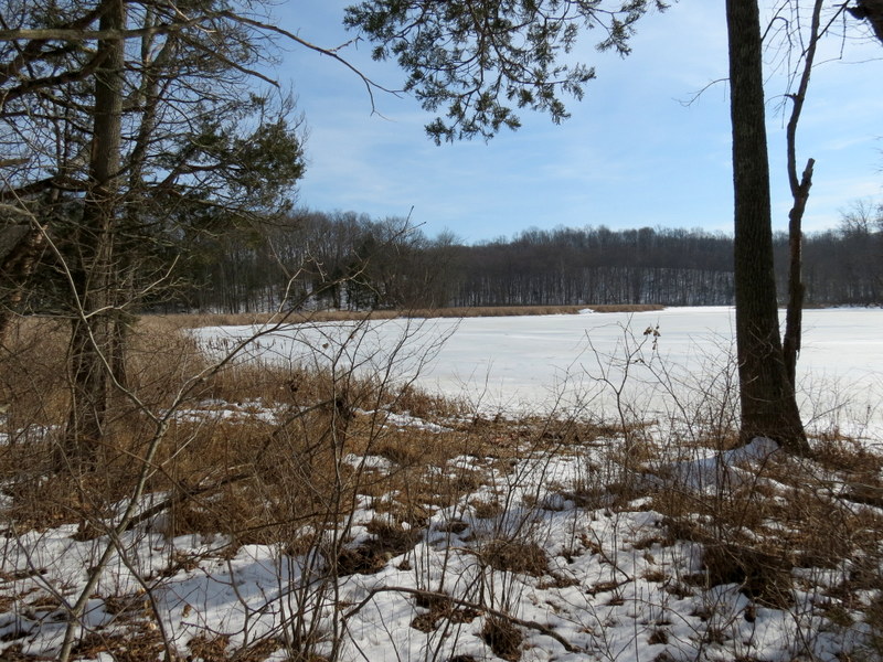
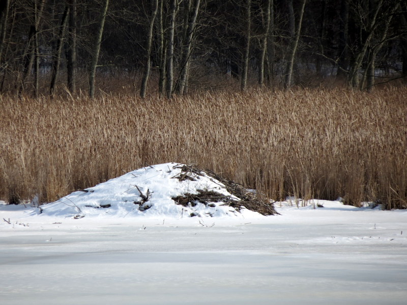
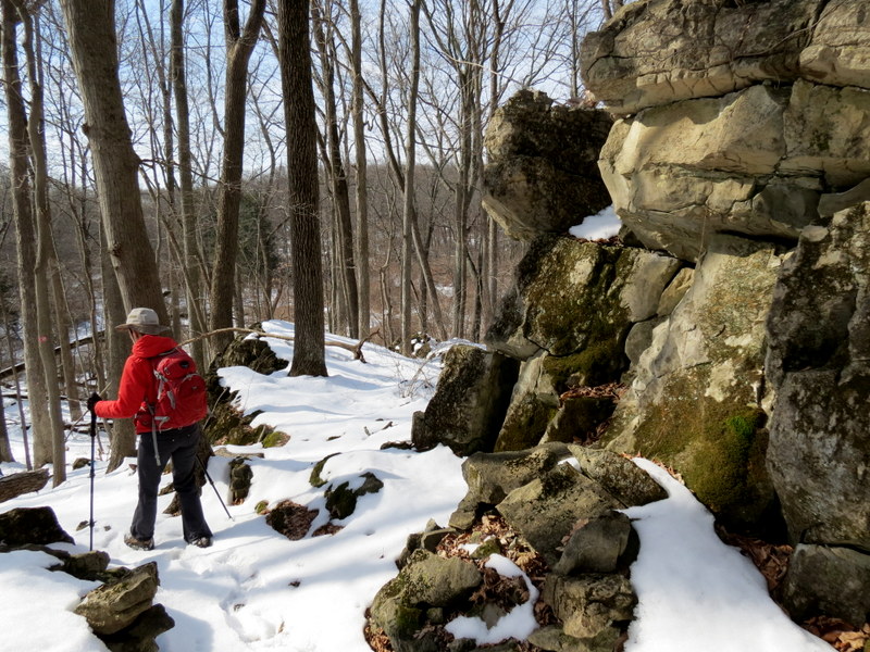
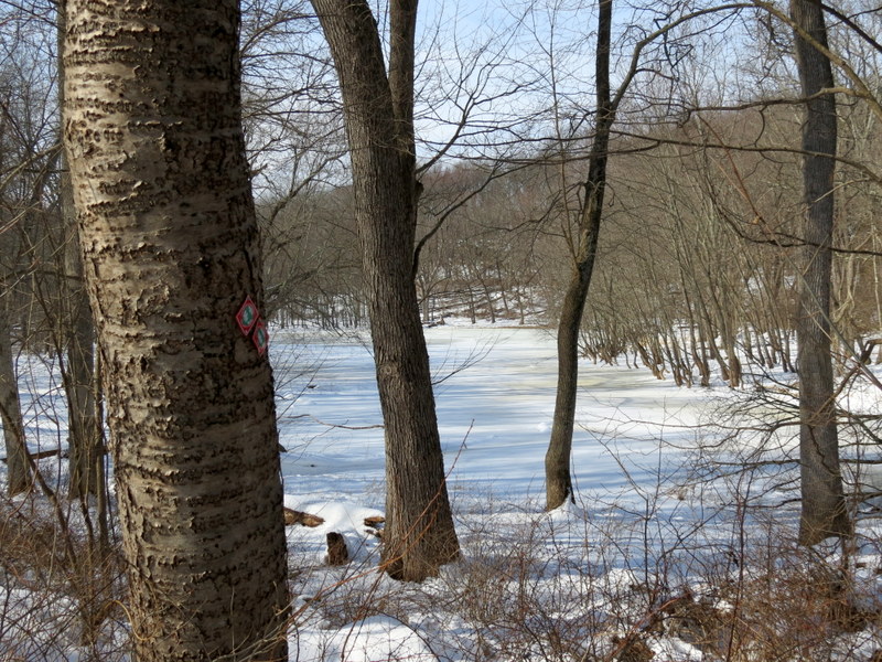
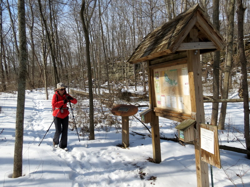
Once again using the excellent trail map from the kiosk at the trailhead for the red-blazed Sinkhole Pond trail, we headed all the way north to the yellow-blazed Upper Woodlands Trail, taking the eastern leg first, all the way to the orange-blazed Cascade trail. We did the Cascade trail lollipop before returning to do the western leg of the Upper Woodlands trail. After reaching the intersection with the Sinkhole Pond trail, we continued on yellow heading southeast, skirting the banks of some marshes before finally rejoining red and taking that back to the car. Total distance hiked today was 4.7 miles in 3 hours and 20 minutes, a slower-than-usual pace due to the snow.
|
 |
 |
 |
 |
 |
 |
 |
 |
 |
 |
 |
 |
 |
 |
 |
 |
 |
 |
 |
 |
 |
 |
 |
 |
 |
 |
 |
 |
 |
 |
 |
 |
 |
 |
 |
 |
 |
 |
 |
 |
 |
 |
 |
 |
 |
 |
 |
 |
 |
 |
 |
 |
 |
 |
 |
 |
 |
 |
 |
 |
 |
 |
 |
 |
 |
 |
 |
 |
 |
 |
 |
 |

|
|
Photographs and content copyright © Dan Balogh Web design by Dan Balogh |