 |
|
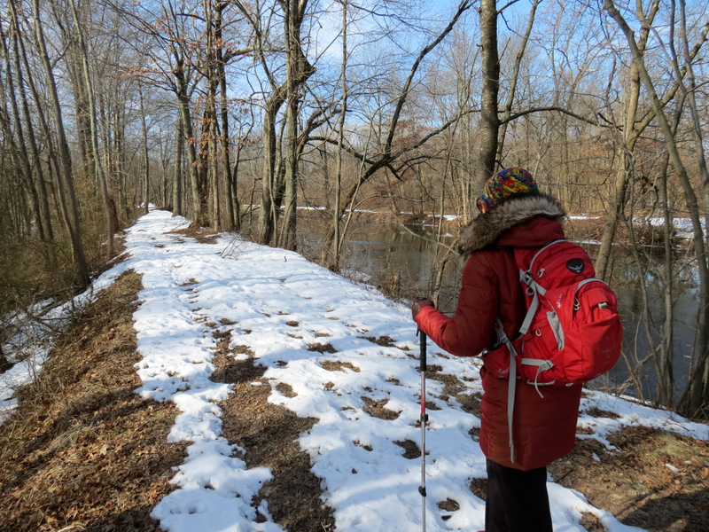
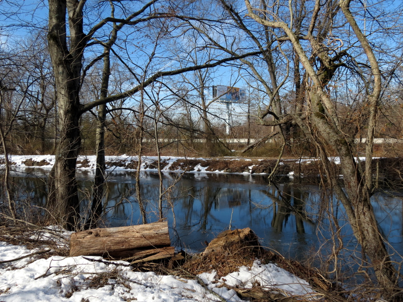
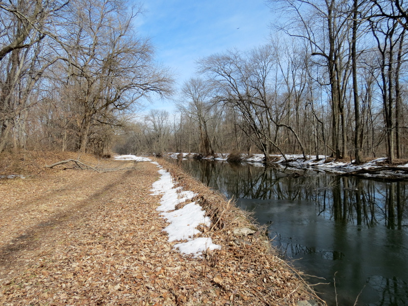
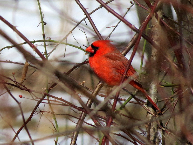
We did it! Today we completed section-hiking the entire main canal of the Delaware and Raritan Canal in New Jersey. After today's section we have hiked all 33.9
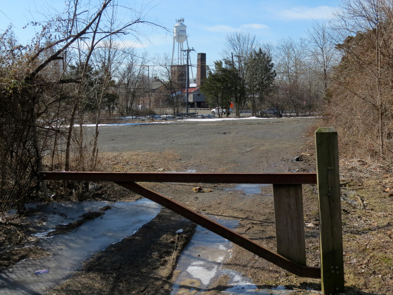
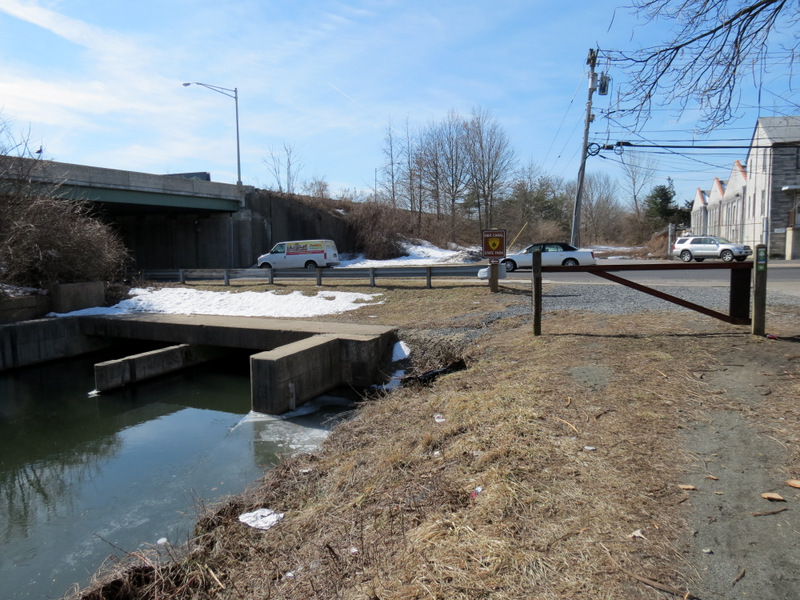
miles twice, from Landing Lane in New Brunswick to Mulberry Road in Trenton! Today we completed the southern-most section which ends, quite abruptly,
at Mulberry Road. (As an aside, there is a path that continues west from this point, which takes you to the southern end of the feeder canal. You can see on
this map that the the main and feeder canals are only about a half a mile apart.)
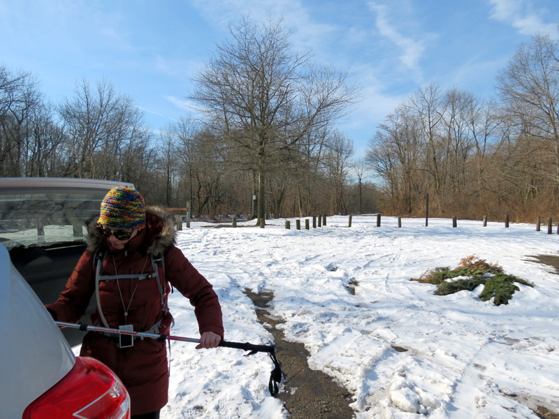
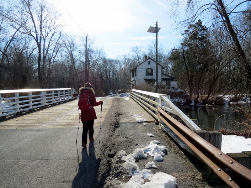
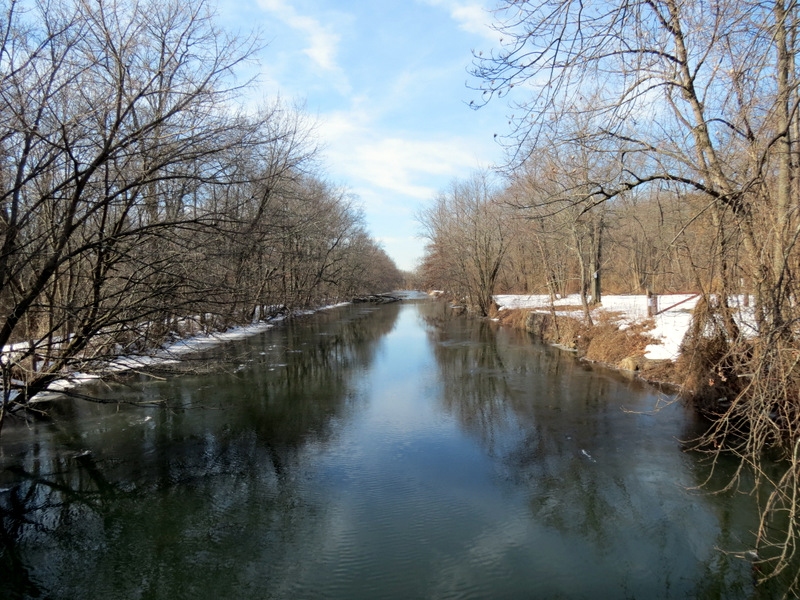
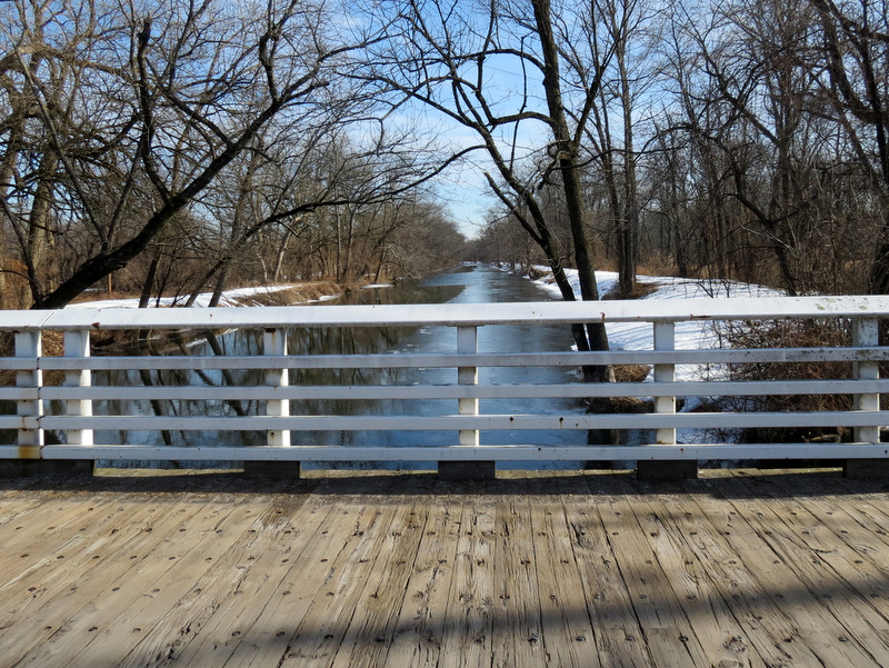
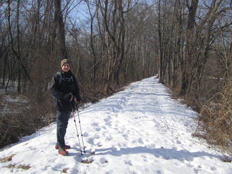
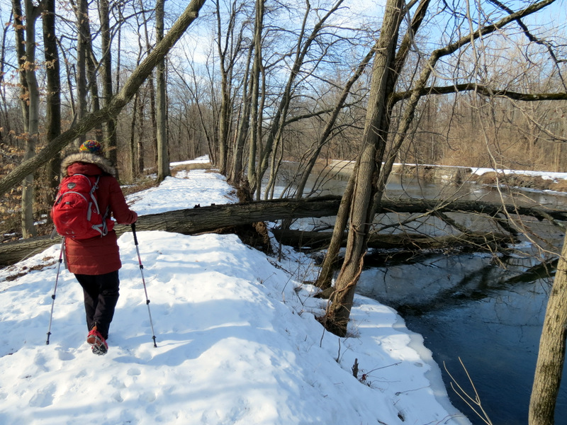
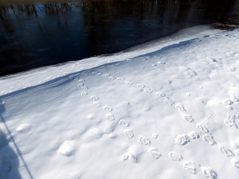
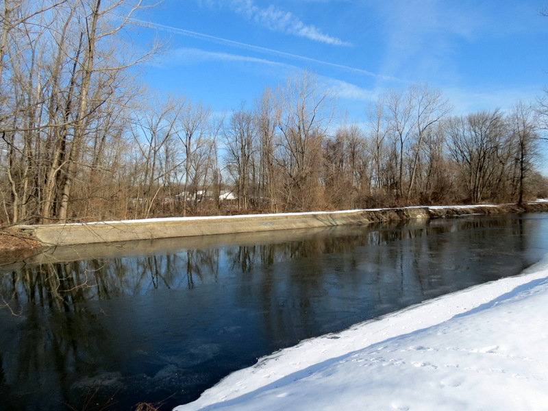
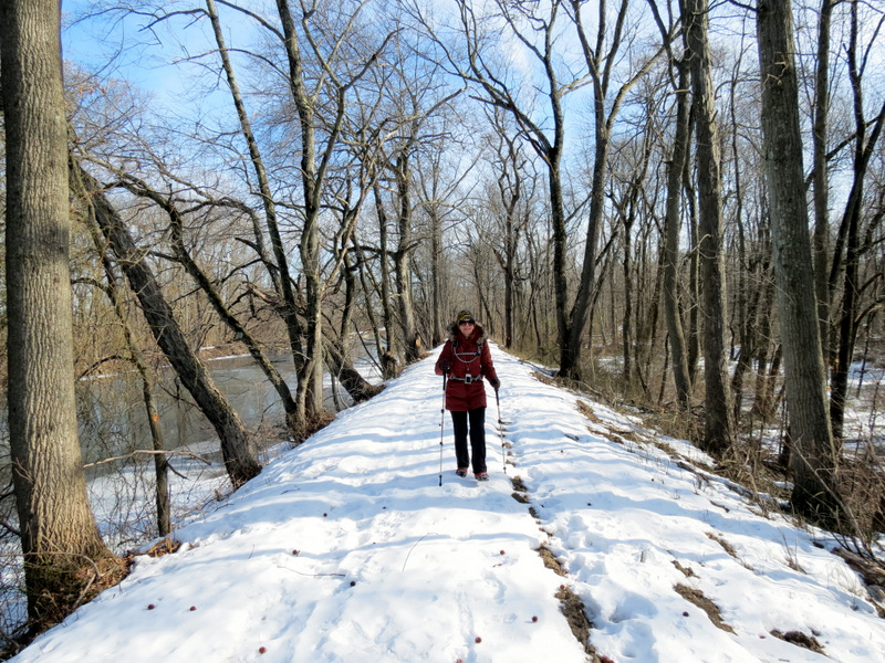
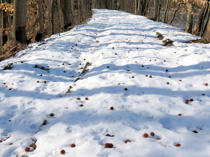
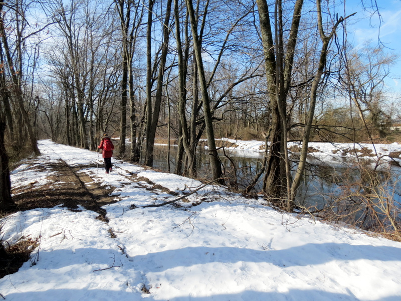
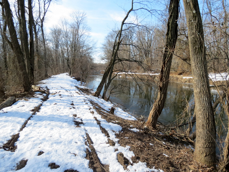
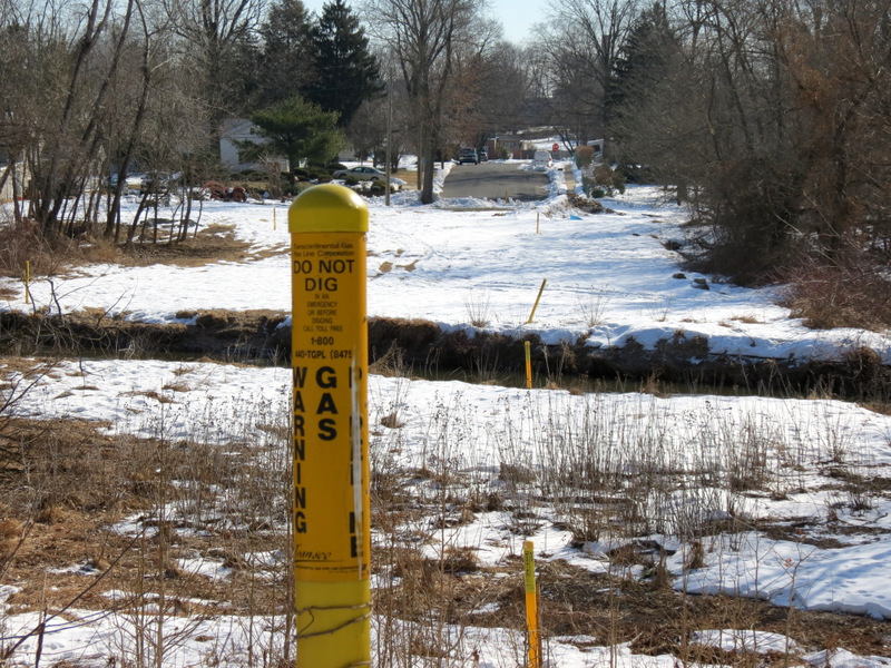
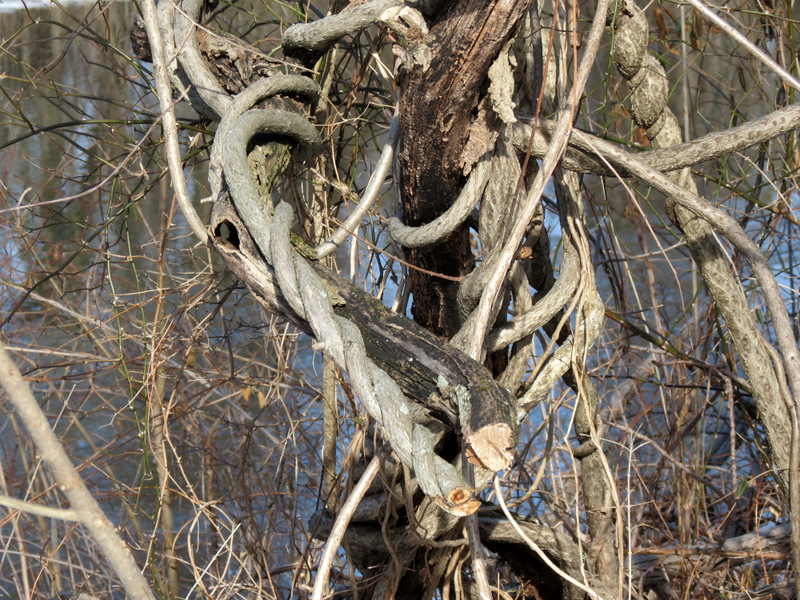
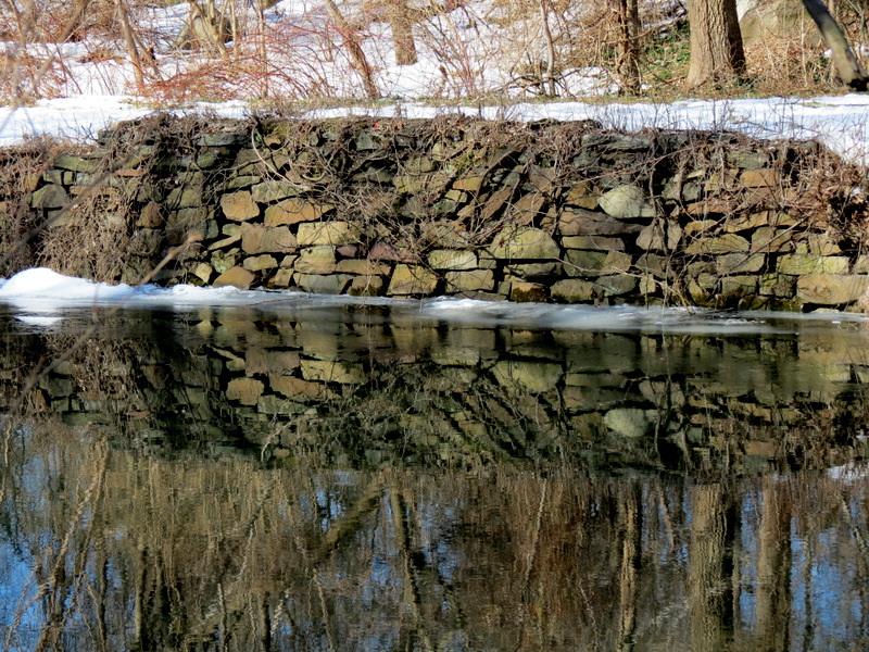
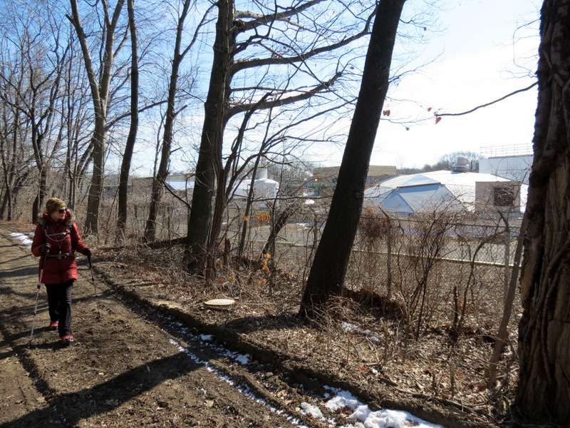
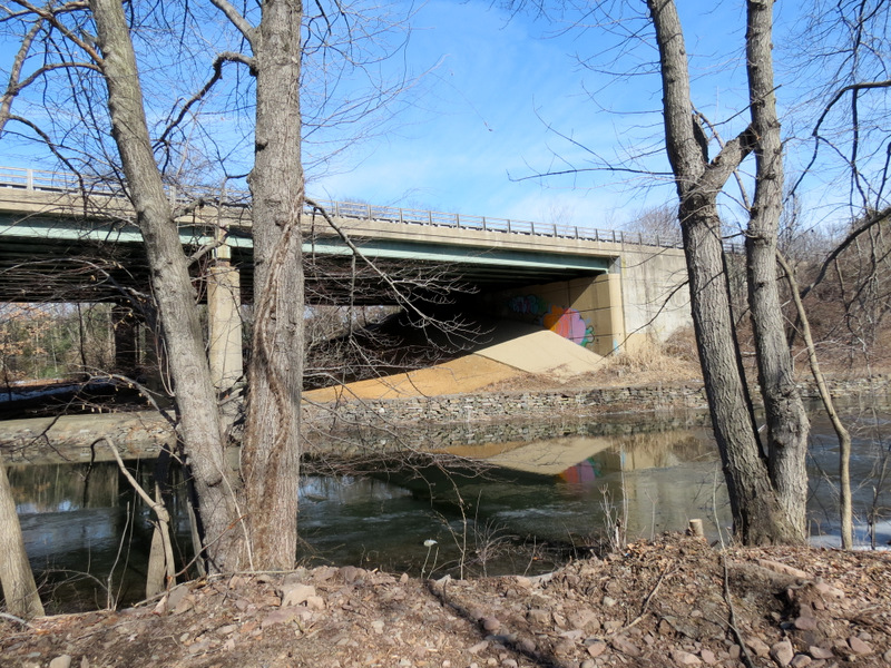
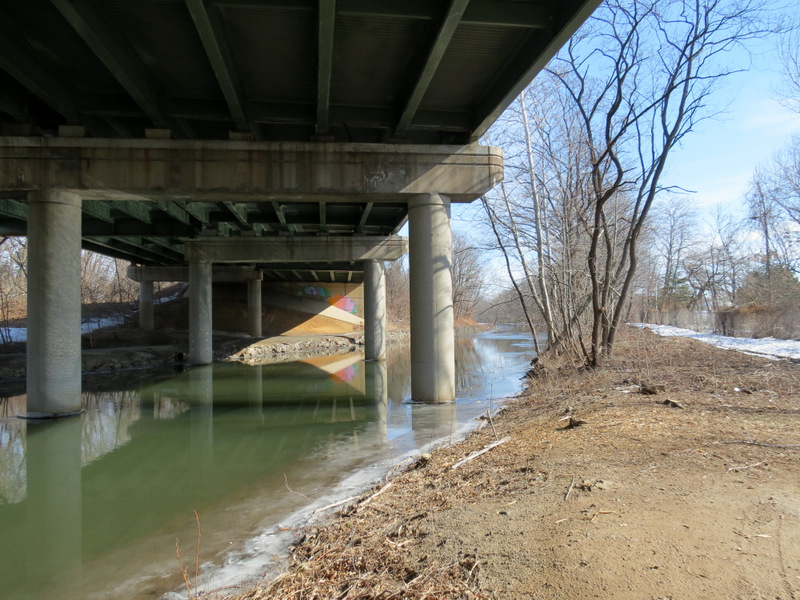
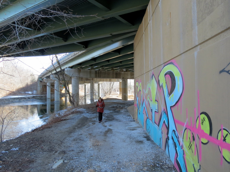
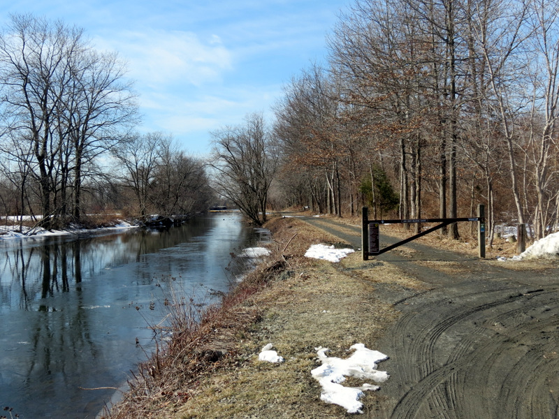
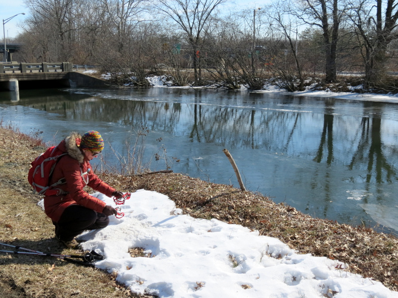
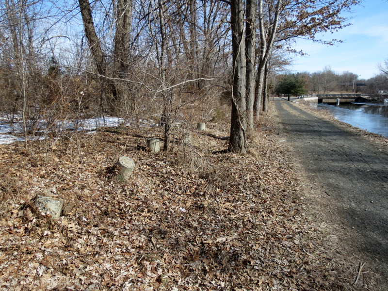
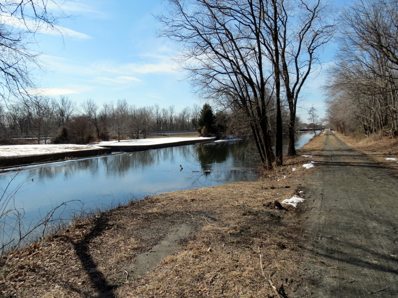
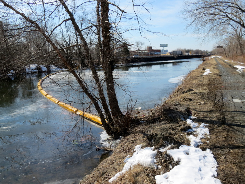
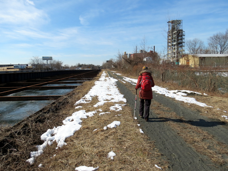
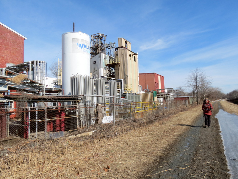
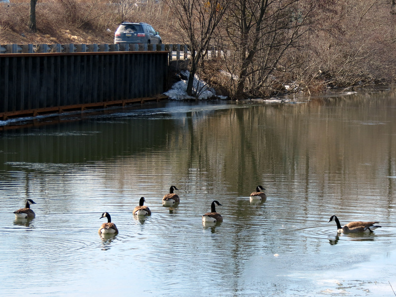
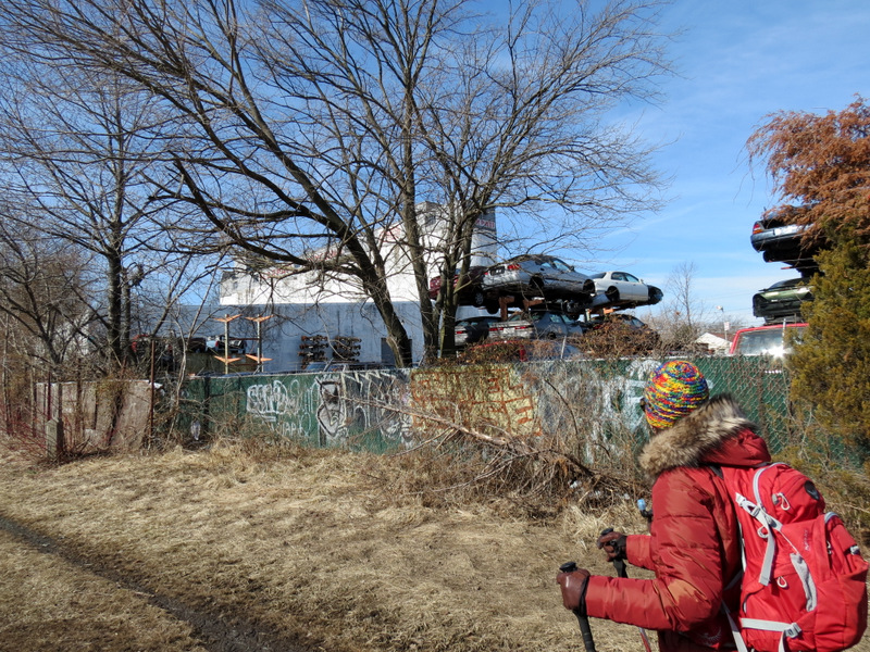
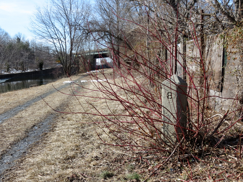
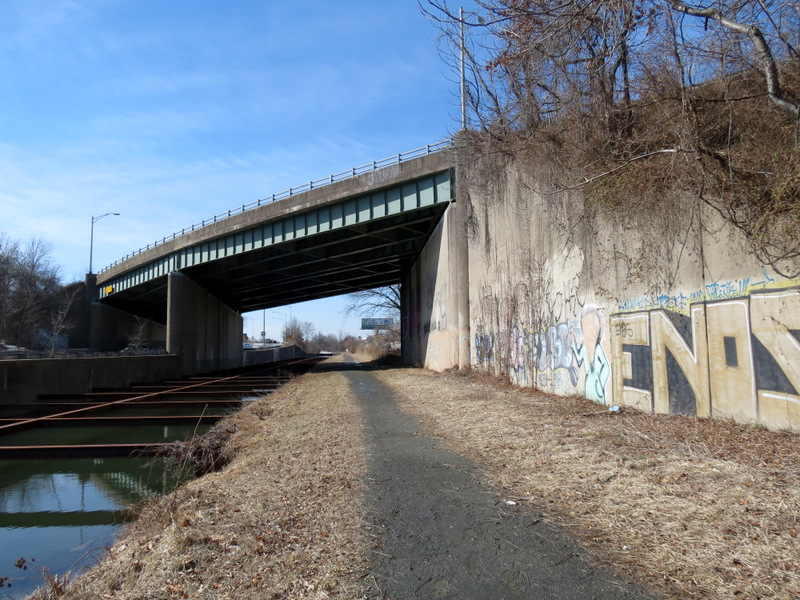
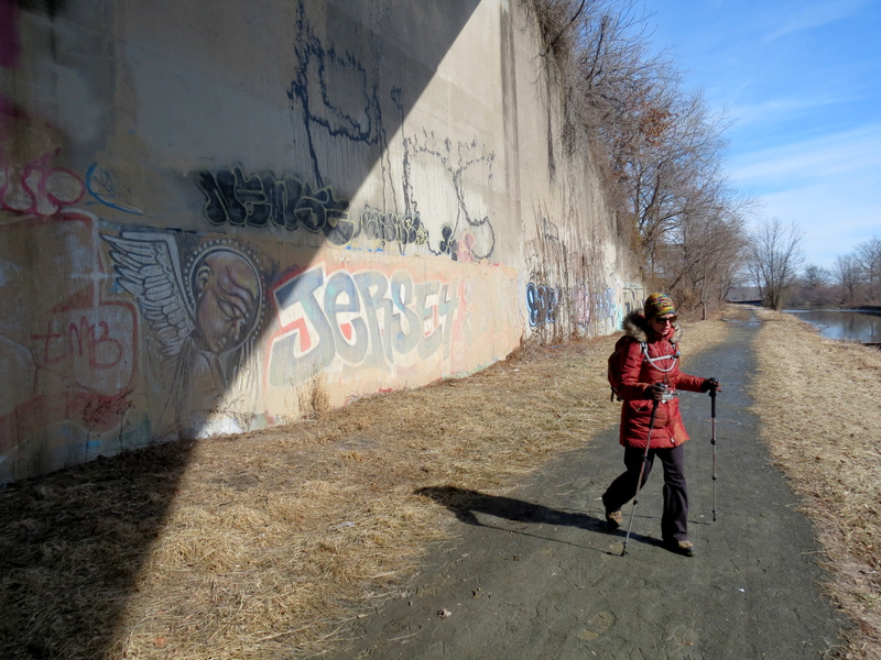
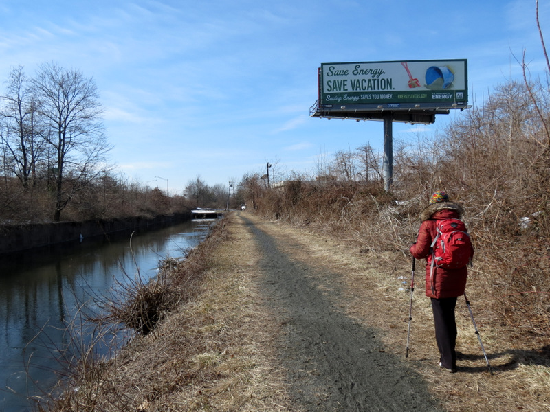
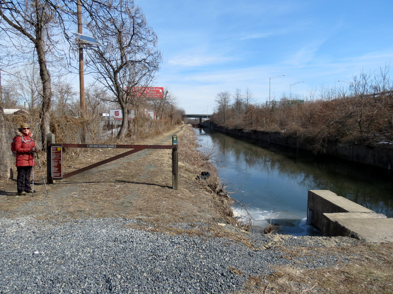
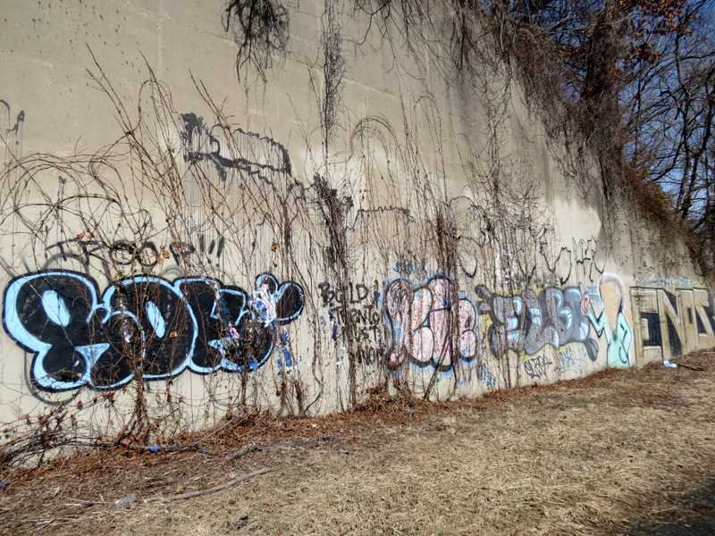
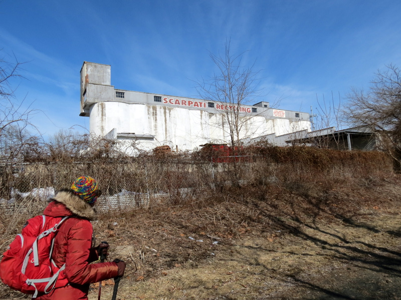
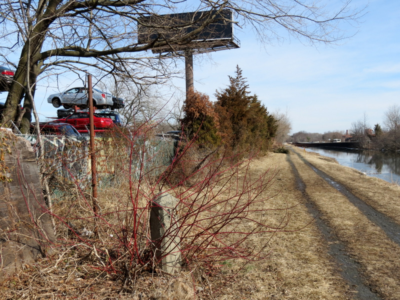
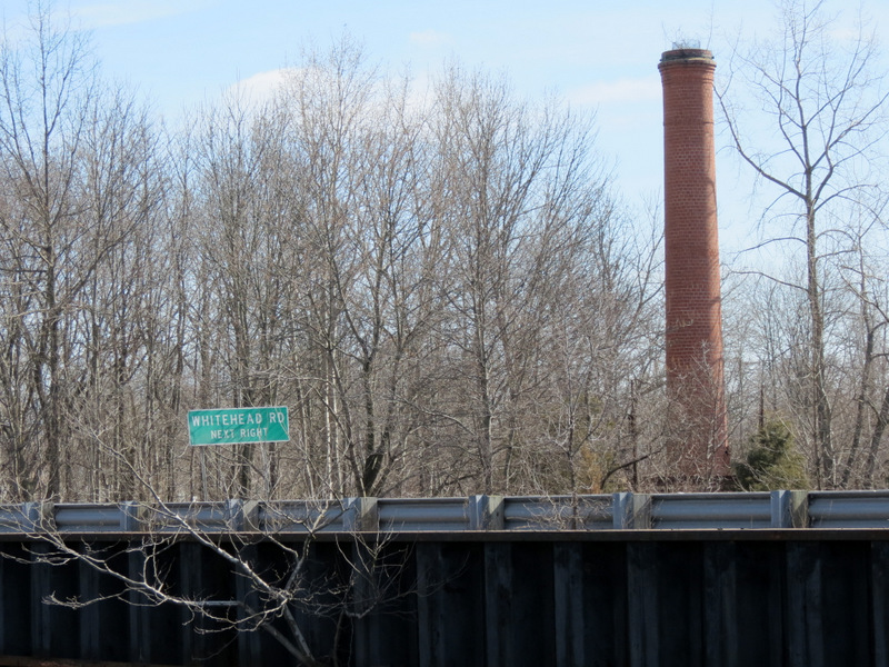
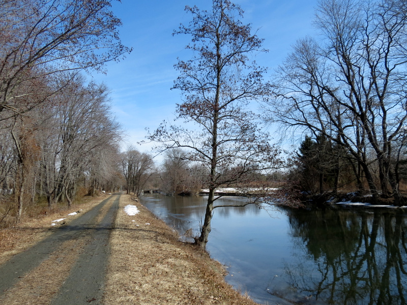
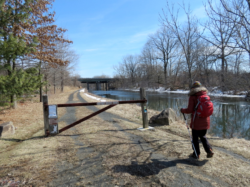
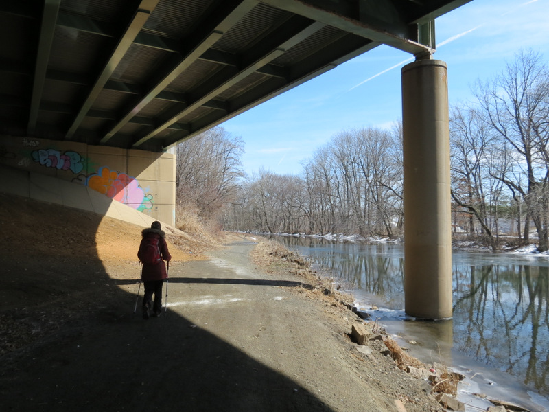
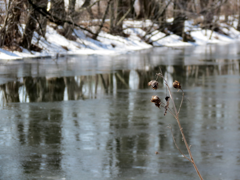
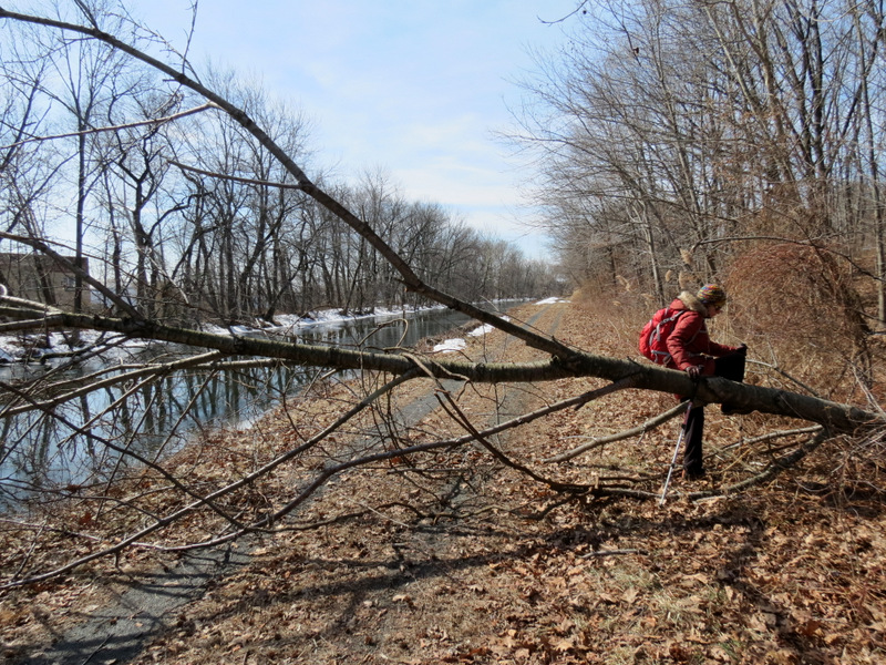
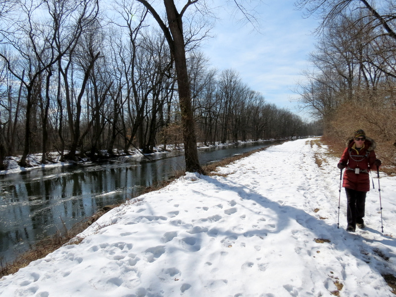
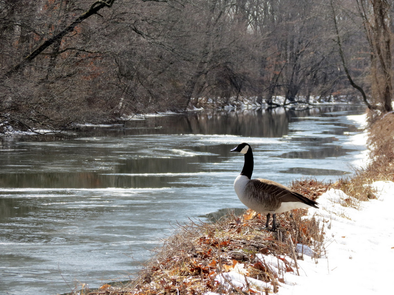
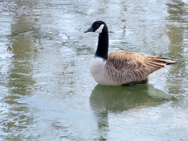
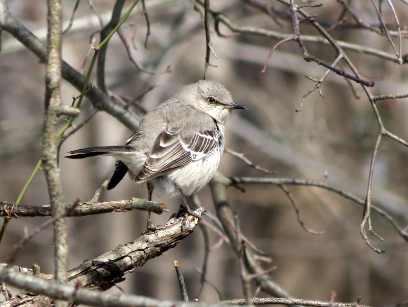
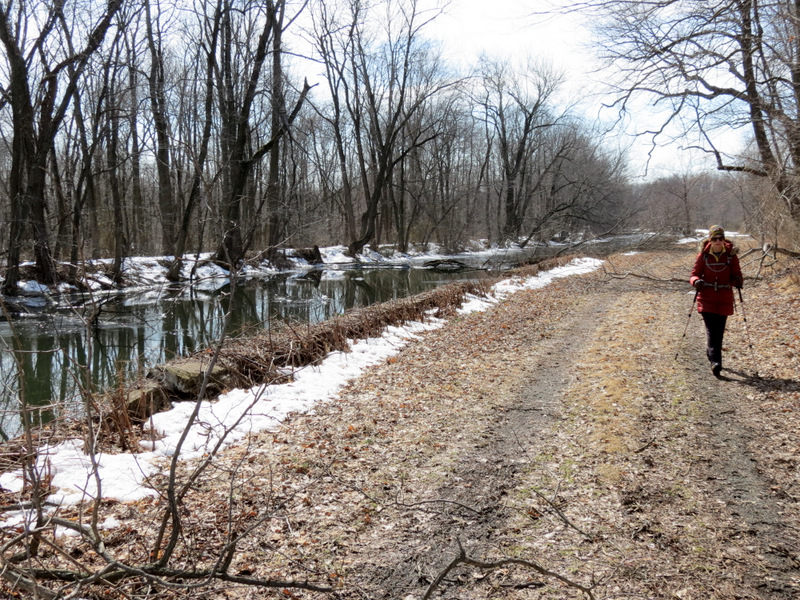
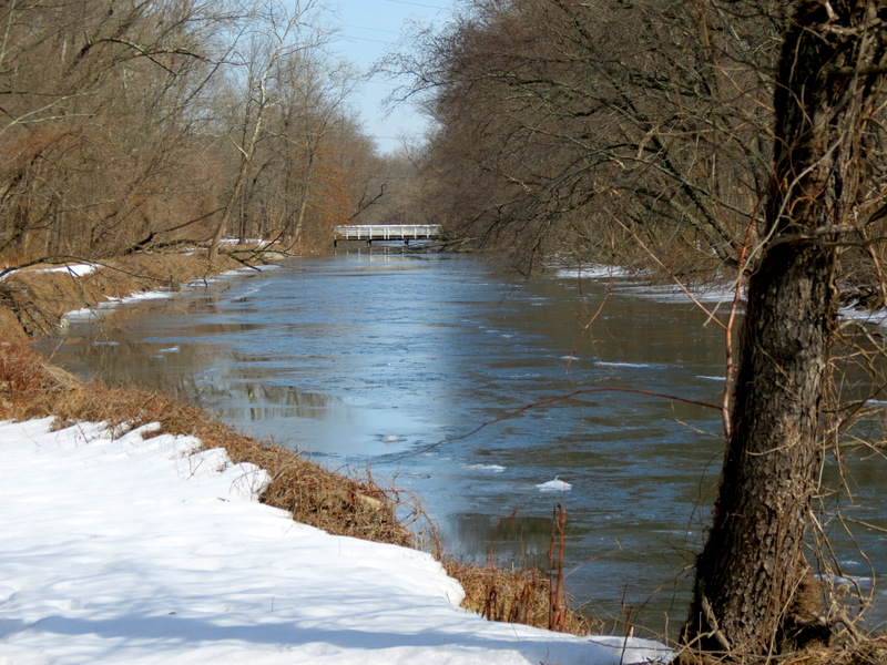
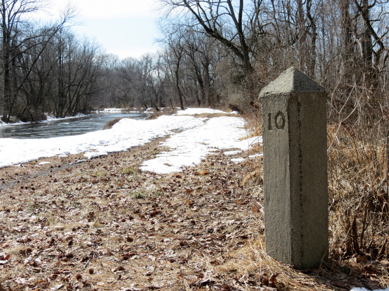
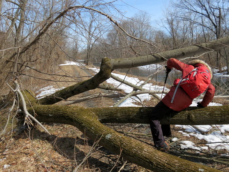
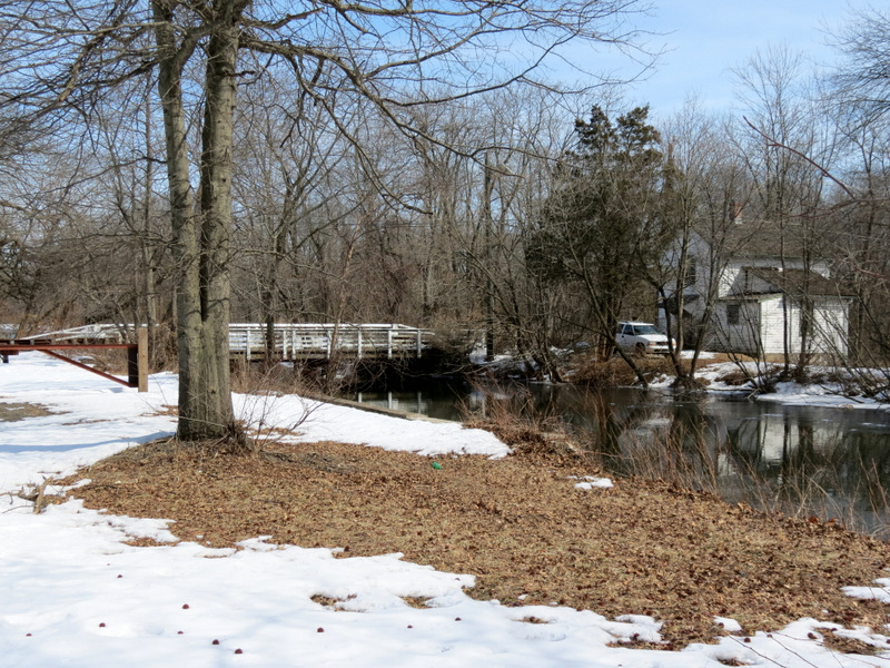
We tried walking today's section last week but the deep, slushy snow made the effort exhausting. Today, with temperatures in the low 20s, the snow was completely frozen which allowed us to walk quite quickly on top of it wearing our awesome Kahtoola Microspikes. We parked at Carnegie Road, crossed the canal and headed SW on the towpath on the southern bank of the canal. (The section between Carnegie Road and Whitehead Road is hikeable on both sides.) After crossing Whitehead Road, we took off our microspikes because the ground was dry! This part is hikeable only on the northern bank. The section from Whitehead to Mulberry feels more like urban hiking since the constant din of Route 1 traffic (to the south) and noise of the recycling and other plants to the immediate north, drown out any feeling of being in nature. We then retraced our way back to Whitehead and then proceeded back to Carnegie Road on the northern bank, in essence hiking a lollipop. Total distance covered today was 5.6 miles in 2 hours and 45 minutes. For those keeping track, the following is when we hiked all 23 sections of the main canal:
* = kayaked this section on this day
|
||||||||||||||||||||||||||||||||||||||||||||||||||||||||||||||||||||||||||||||||||||||||||||||||||||||||
 |
 |
 |
 |
 |
 |
 |
 |
 |
 |
 |
 |
 |
 |
 |
 |
 |
 |
 |
 |
 |
 |
 |
 |
 |
 |
 |
 |
 |
 |
 |
 |
 |
 |
 |
 |
 |
 |
 |
 |
 |
 |
 |
 |
 |
 |
 |
 |
 |
 |
 |
 |
 |
 |
 |
 |
 |
 |
 |
 |
 |
 |
 |
 |
 |
 |
 |
 |
 |
 |
 |
 |
 |
 |
 |
 |
 |
 |
 |
 |

|
|
Photographs and content copyright © Dan Balogh Web design by Dan Balogh |