 |
|
Nike Town Park (5/25/2009) We parked on Nike Lane, at the trail heads for both the blue and orange trails. Using the most recent NYNJTC Hudson Palisades Trails Map 109 (2005), we first hiked the half-mile blue loop expecting to enjoy the scenic viewpoint which is marked on this map (but which isn't on the NYNJTC map). The NYNJTC map was right: there was no scenic viewpoint. We then continued on the orange path, taking time to first explore the ruins of the Nike facility in the north section of the park. We then proceeded south along the Long Path to the northern section of the Rockland Cemetery, expecting to see a scenic viewpoint at the Fremont Monument, clearly indicated on the NYNJTC map. But the map was wrong: there was no scenic viewpoint! Tracking back on the LP, we planned on climbing Mt. Nebo along a trail indicated on the NYNJTC map as an "unmaintained trail". But despite several attempts, we could not find this trail from the LP! Flummoxed, we continued back north on the LP and turned right on the southern half of the orange trail returning to the car. We noticed that there were two other ways to get to the unmaintained trail leading to the viewpoint atop Mt. Nebo. One was to proceed to the southern part of Nike Town Park, the other was off the blue trail (which we hiked earlier). We walked south along Nike Road to get to the southern section of the park, but we were confronted with a gate and signs indicating that only Authorized Personnel were allowed past the gate. Oy vey! We did walk through the gate but decided not to go too far for fear that we would get locked in (we noticed the gate open, closed, then open at various points during the morning, and the area inside the gate was completely surrounded by a high fence with barbed wire). Nearly ready to give up, we tried one last time to find the unmaintained trail, by looking for it from the blue loop. But once again we couldn't find the trail despite several attempts. So we didn't see the Nike ruins in the southern part of the park, nor did we get to climb Mt. Nebo. We had lunch on a rock off the blue trail and then returned to the car. Total distance traveled was nearly 5 miles.
|
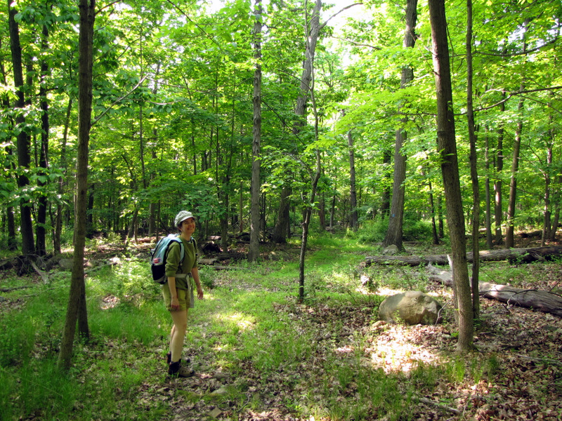 On the blue trail |
 Boundary walls on the blue trail |
 Gate to southern part closed |
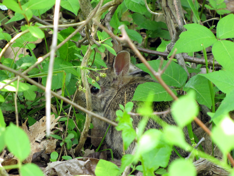 Scared bunny on orange trail |
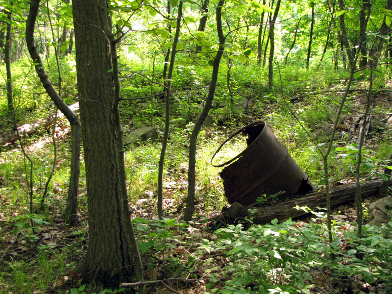 Old barrel |
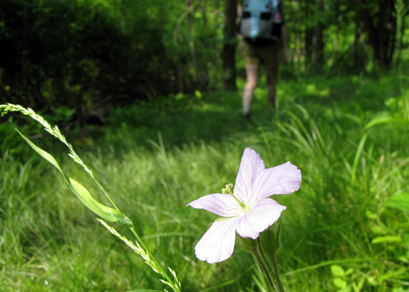
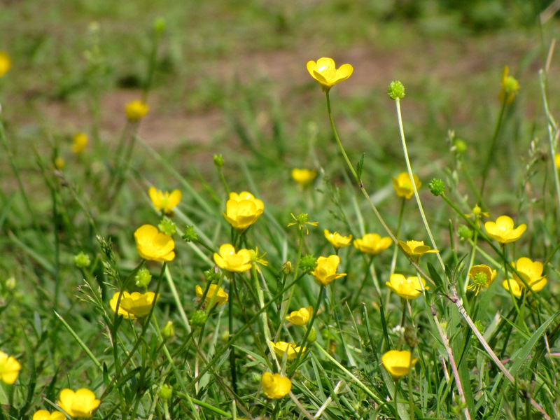
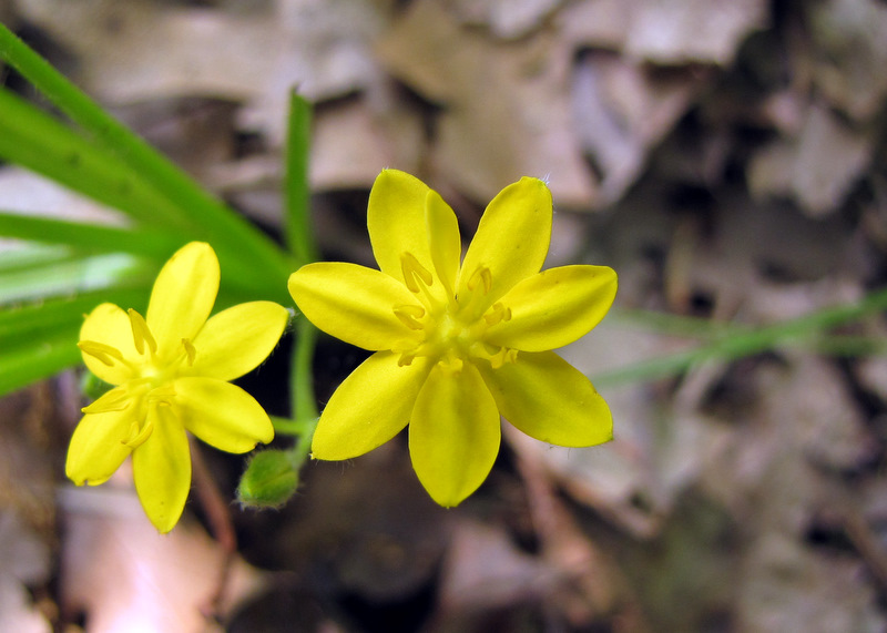 Buttercups |
 |
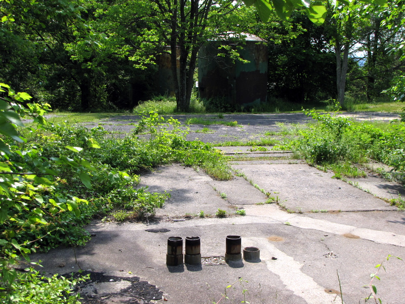
 Ruins from orange trail |
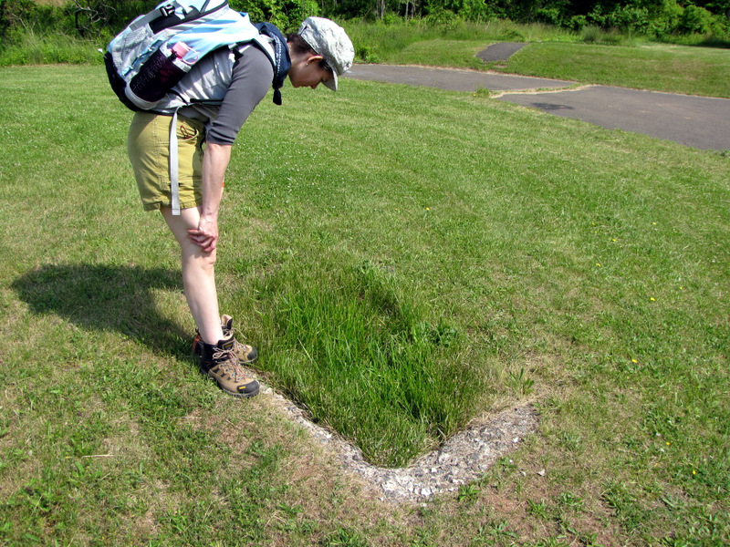
 Concrete base |
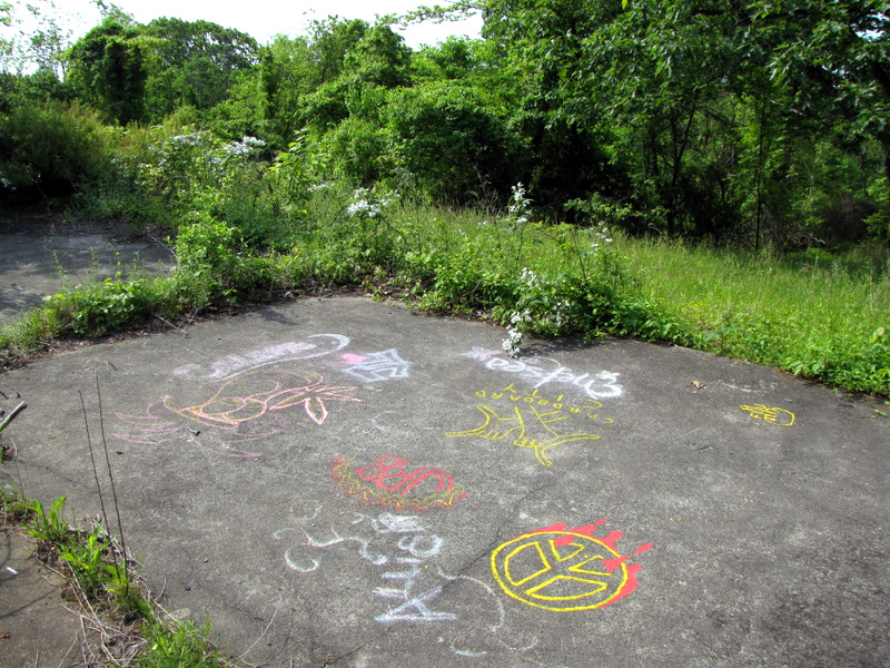
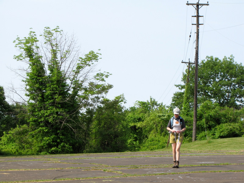
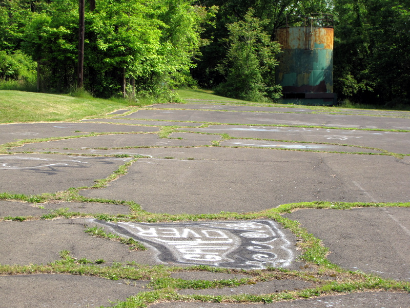 Large concrete lot |
 Reading the graffiti |
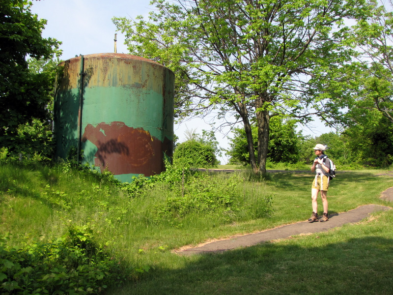
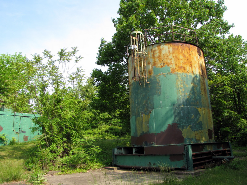 Delapidated tank |
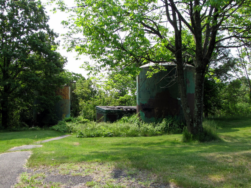
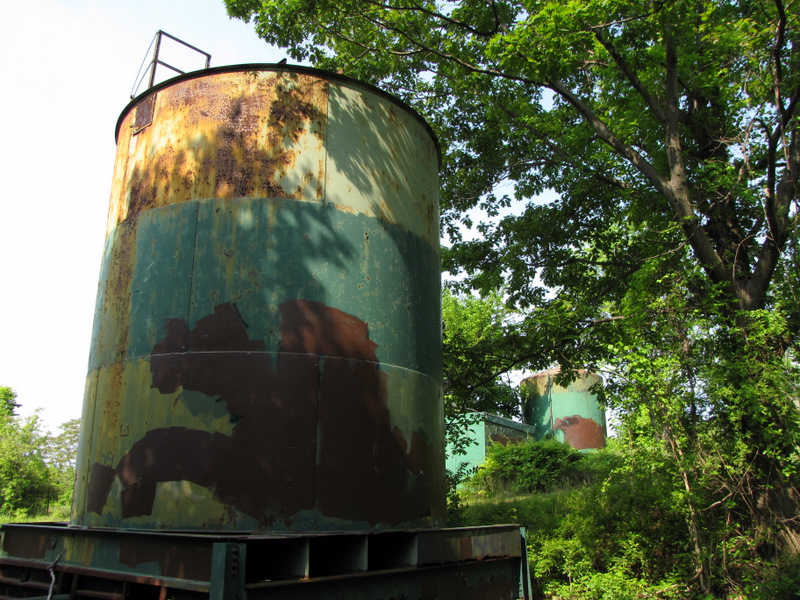 Two tanks |
 View into shack through collapsed roof |
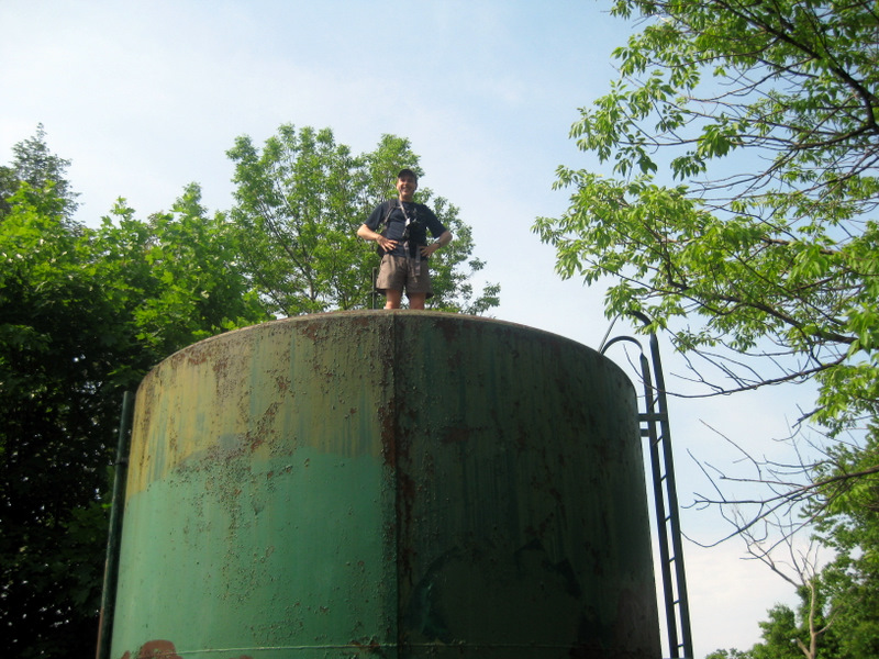
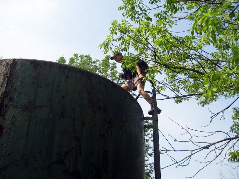 Climbing a tank [photo by Laura] |
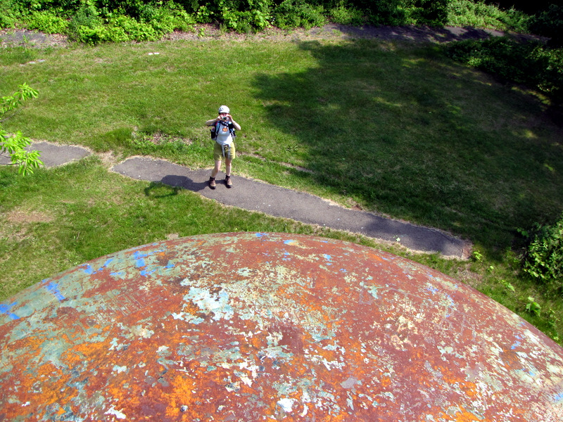 View from the top |
 [photo by Laura] |
 |
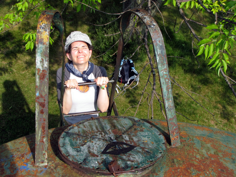 Laura on ladder |
 |
 Curious concrete octagon |
 |
 |
 Lamb's Ear |
 |
 Shack by tanks |
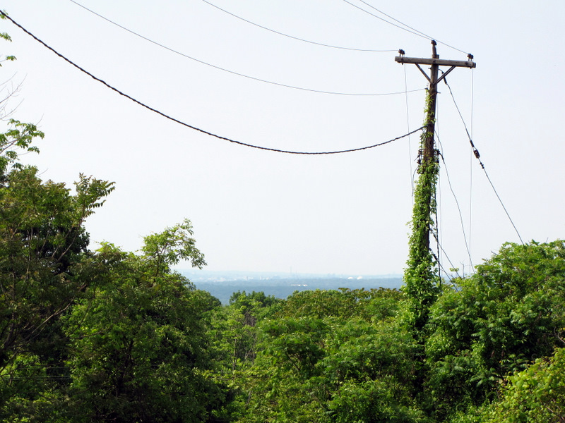 View south |
 |
 More buttercups |
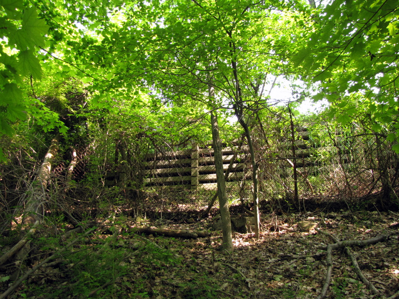
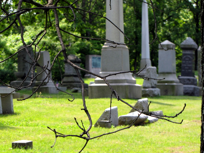
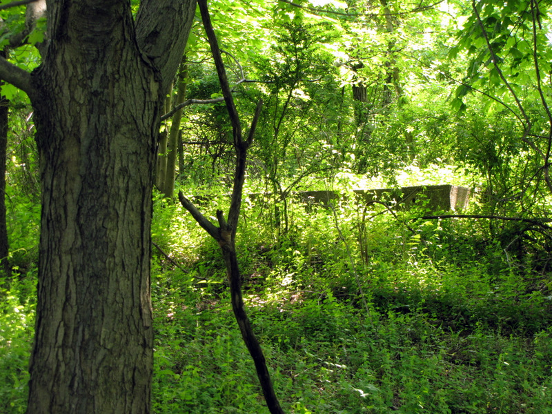 Ruins in the woods |
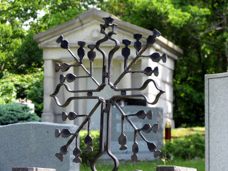
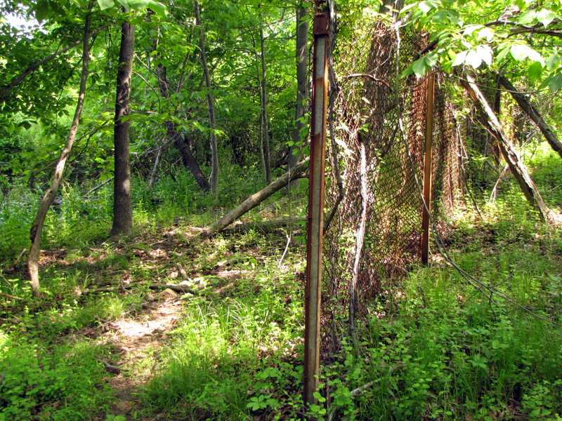 Rusty fence |
 |
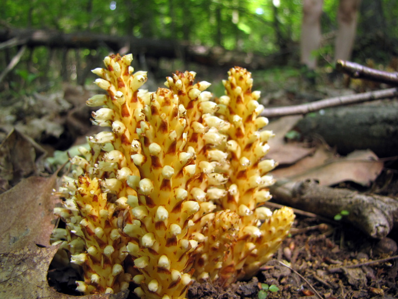 Beautiful plant |
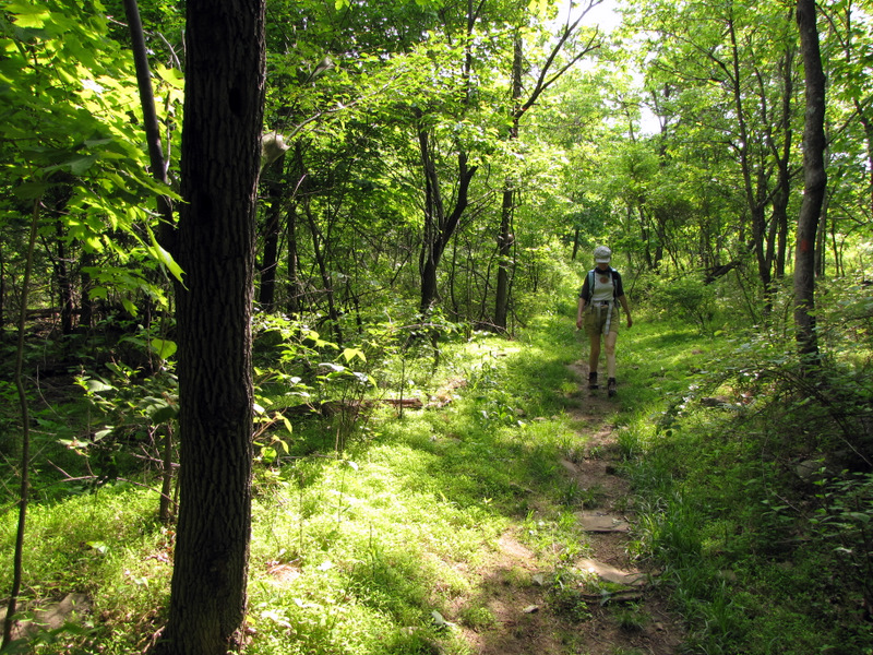
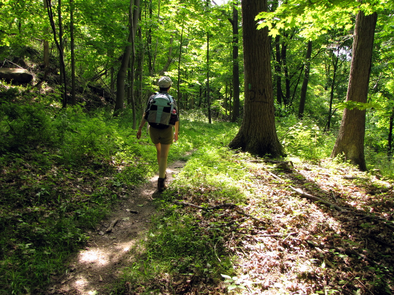
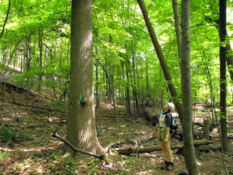 On the Long Path |
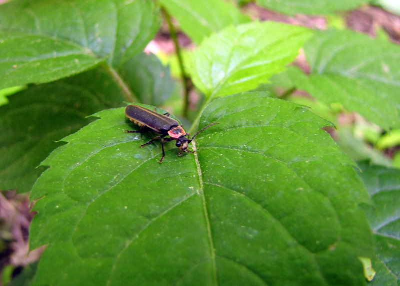 Lightning bug |
 Stream bed |
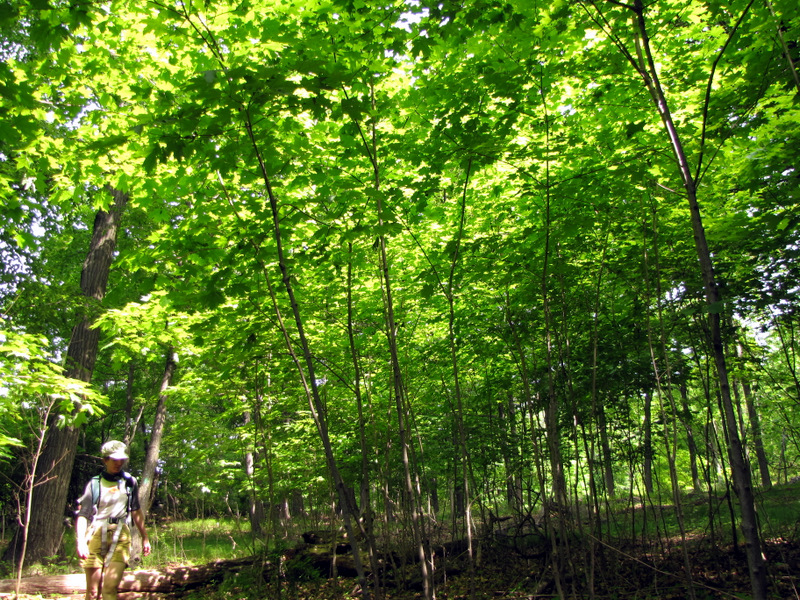 Maple saplings |
 |
 Narrow section of the LP |
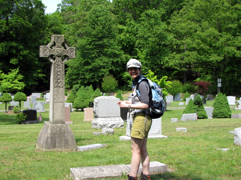
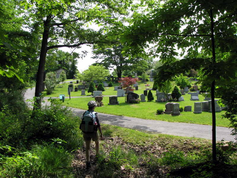 Entering Rockland Cemetery |
 |
 |
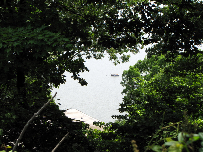
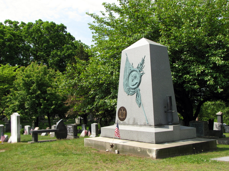 Fremont Monument |
 |
 |
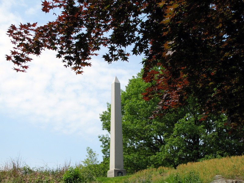 Cleopatra's Needle |
 |
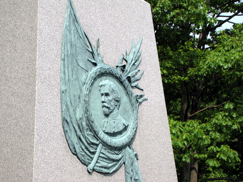 Fremont Monument detail |
 |
 |
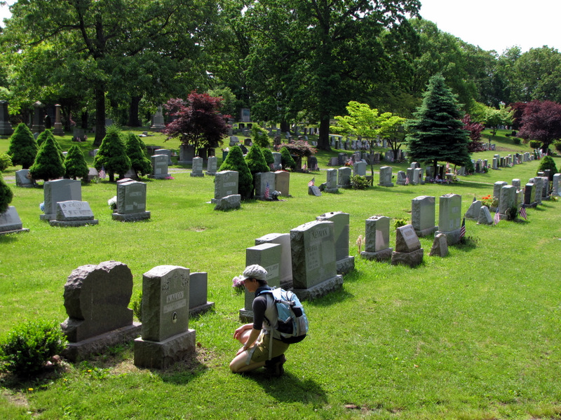
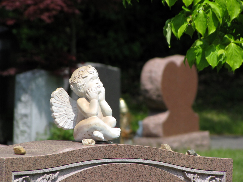
 Angels atop gravestones |
 |
 |
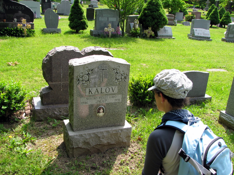
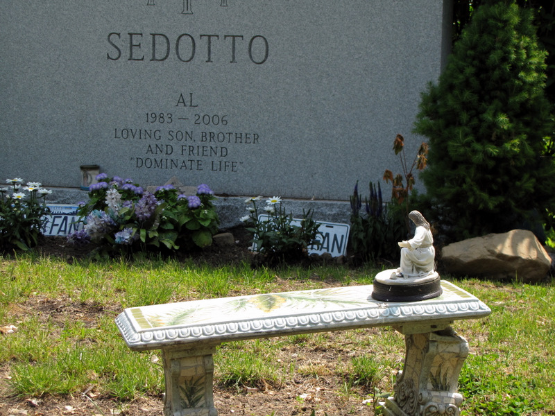
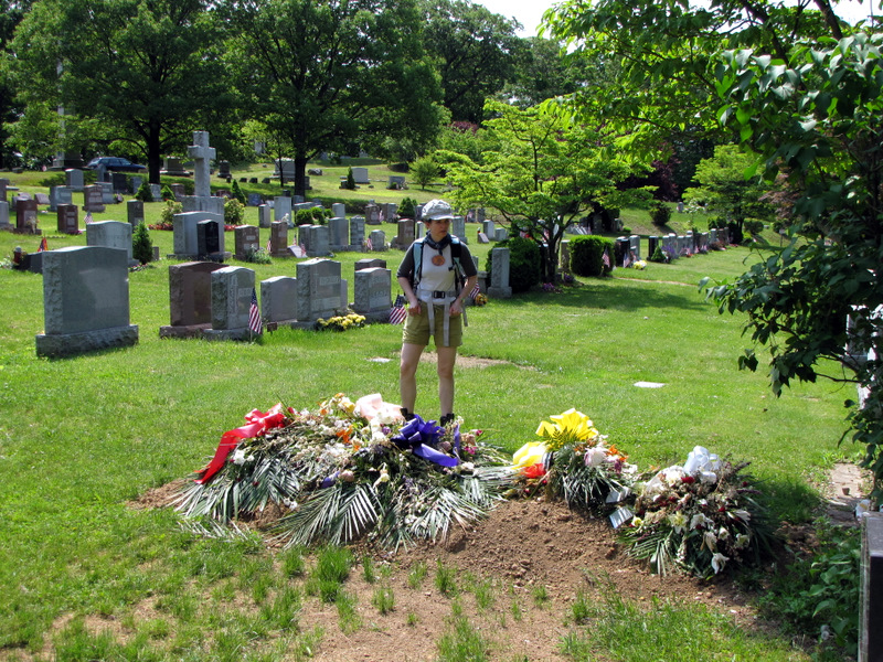
 Toys left on gravestone |
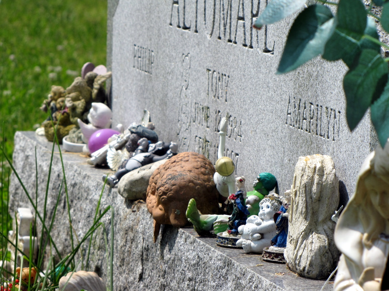 Toys on grave of three-year old |
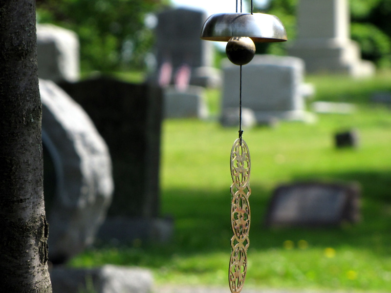 Wind chime |
 New grave |
 Back on LP |
 Gate to the southern part of "park" |
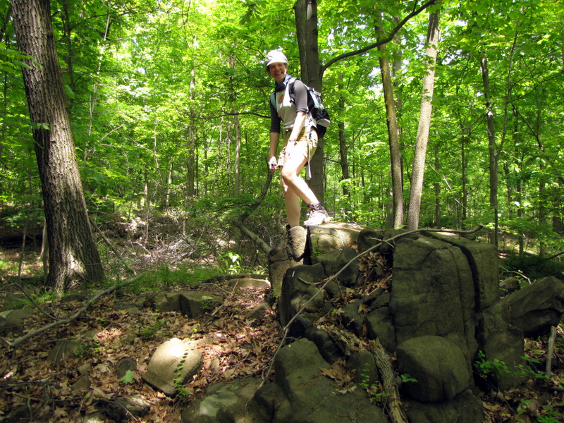 Our lunch spot on blue trail |

|
|
Photographs and content copyright © Dan Balogh Web design by Dan Balogh |