 |
|
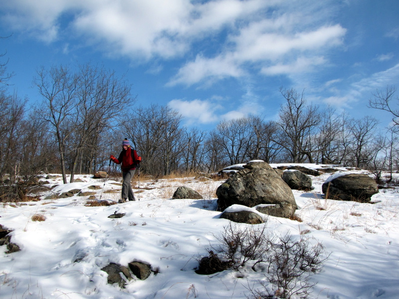
This lollipop is a hike of my own invention, pulled together after examining the new NYNJTC Southern Harriman trail map 118. It turned out to be a spectacular hike
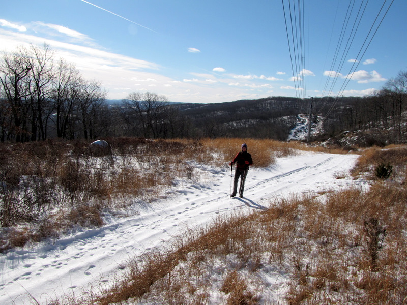
with lots of viewpoints, wildlife, and snow! There were several inches on the ground from previous snowstorms in the past month. We had to stop about 10 minutes
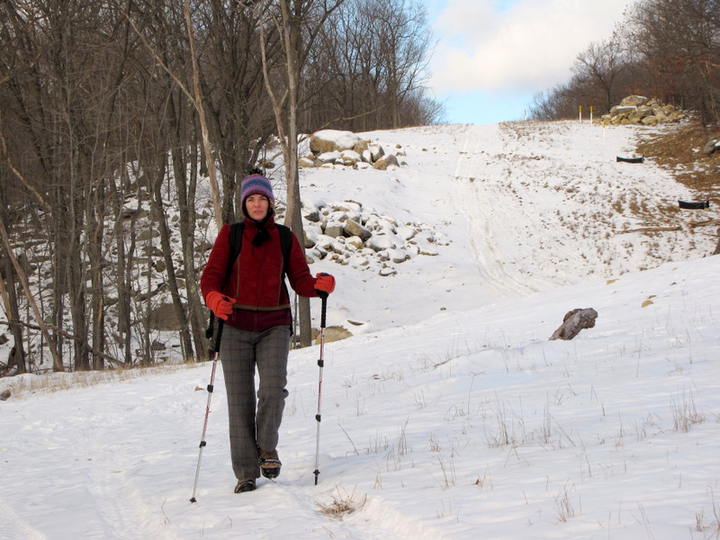
into the hike to put on our Yaktrax, which came in handy for most of the hike.
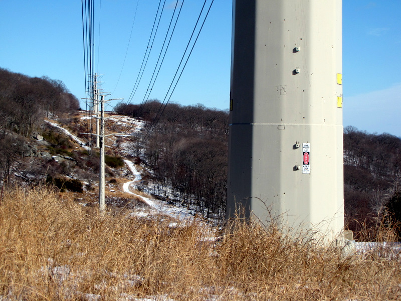
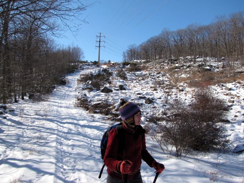
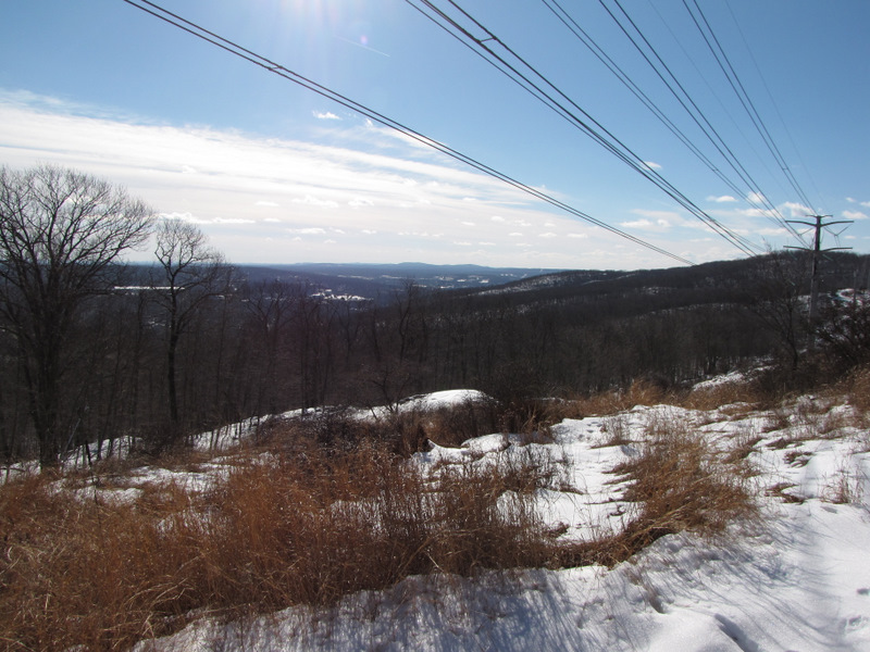
The hike begins at the circular parking area at Kakiat County Park on Route 202 in Montebello, New York. Head to the trails, passing over Mahwah River and then hang a left on the orange-blazed Mountain trail. Take this trail to its northern end and make a left on the white-blazed Kakiat trail, and then a left on the yellow-blazed Suffern-Bear Mountain trail (one of the longest trails in Harriman). Take this trail all the way to the power line cut, with the huge pylons. Make a left on the road for those power line pylons and follow that meandering road all the way back to the orange-blazed Mountain trail. Make a right here and take that back to the car. Total distance was about 6 miles in about 4 hours. There are views at several points on the Mountain trail, as well as along the power line cut later on. It was here where we kept surprising groups of deer that bolted when we came within a few dozen yards of them. Other highlights included the seemingly infinite animal tracks that were all over the snow, including deer, fox, raccoon and possibly black bear. The woods are alive indeed.
|
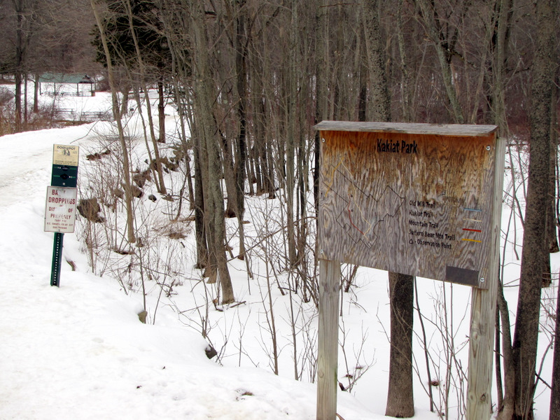 Kakiat trail heads |
 |
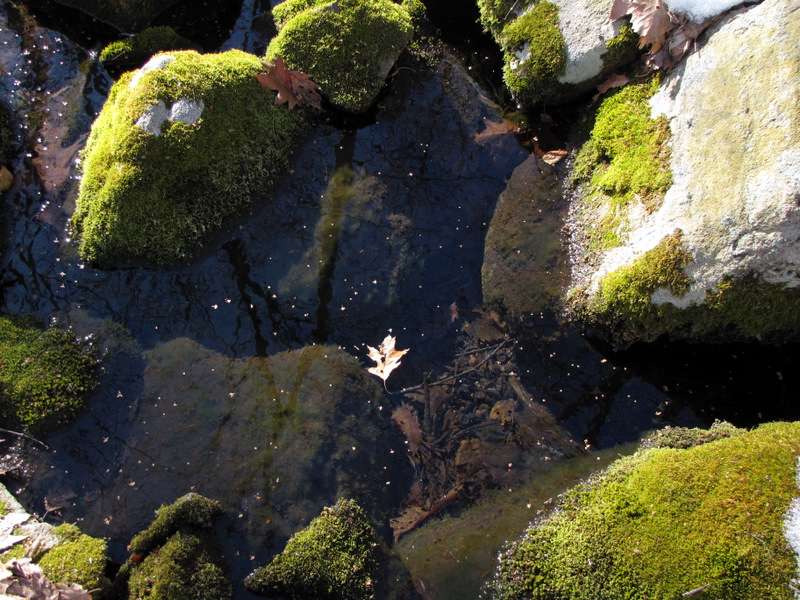
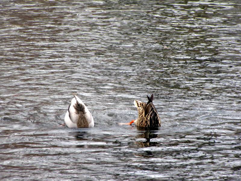 Ducks fishing ... |
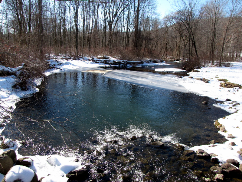
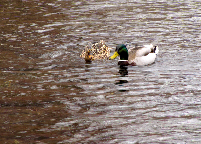 ... in Mahwah River |
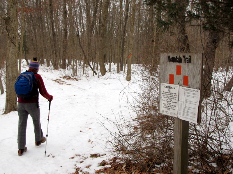 Mountain trail head with snake warning |
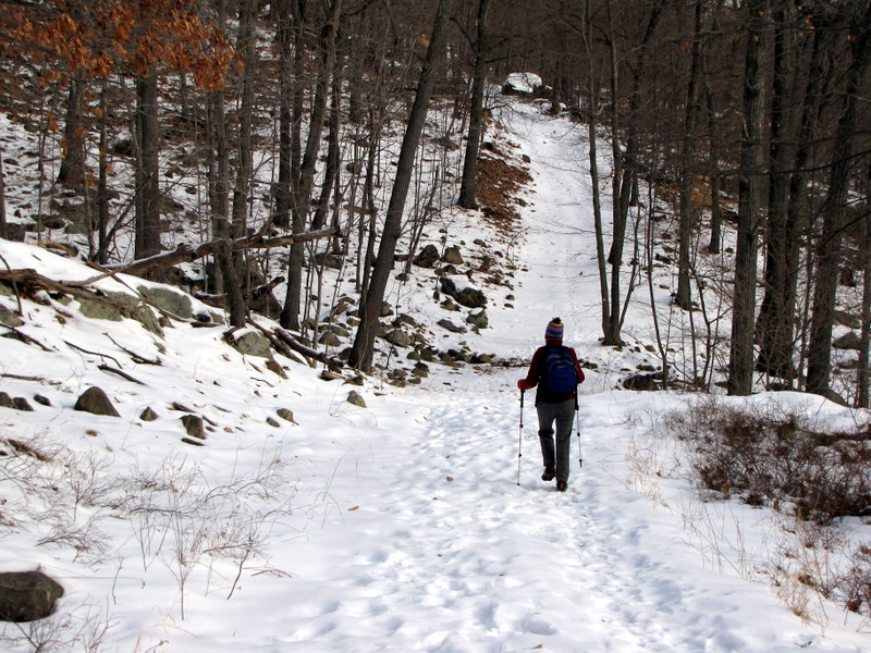
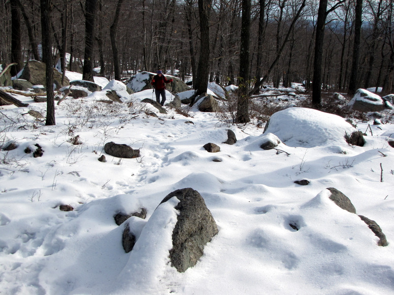
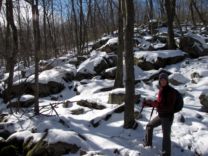
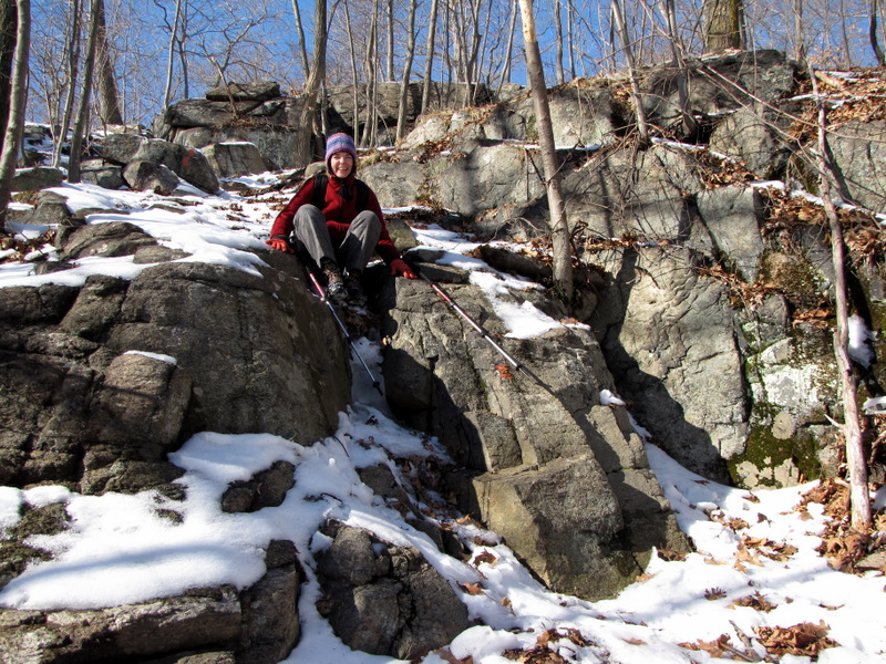
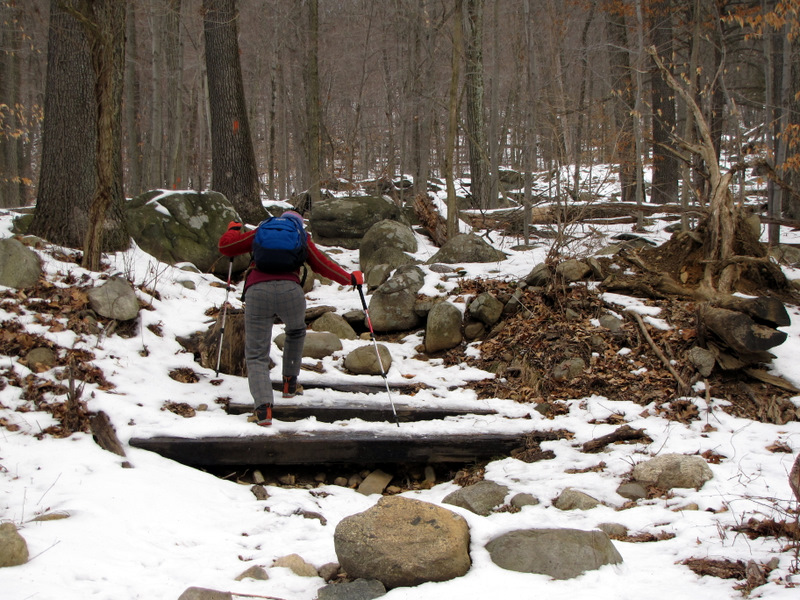 Starting the climb |
 |
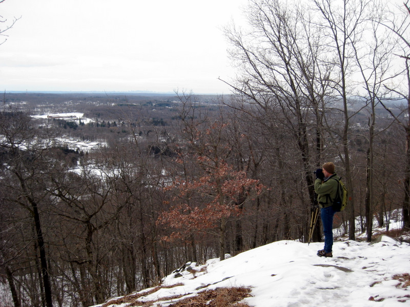
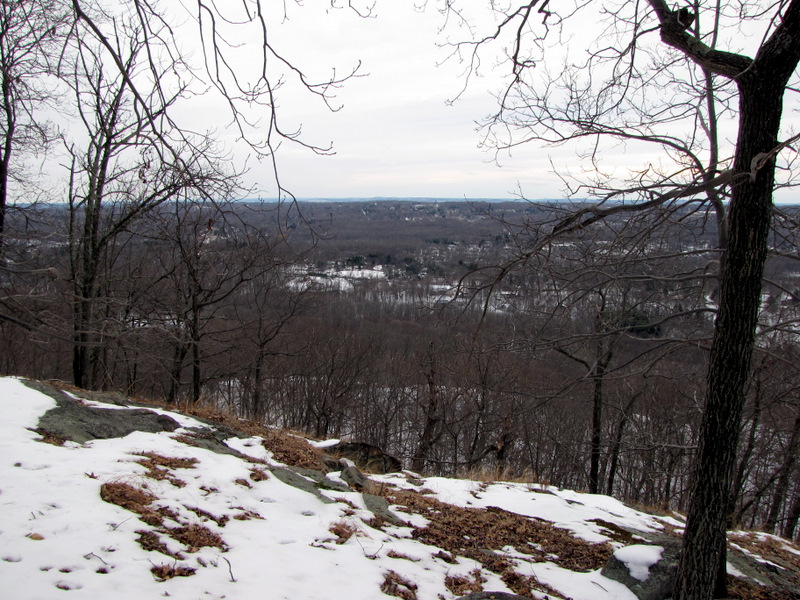
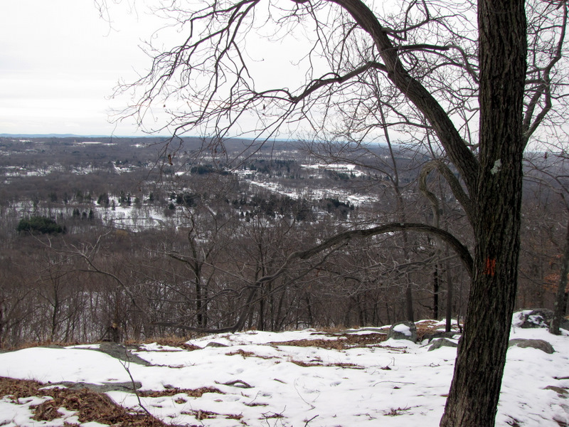
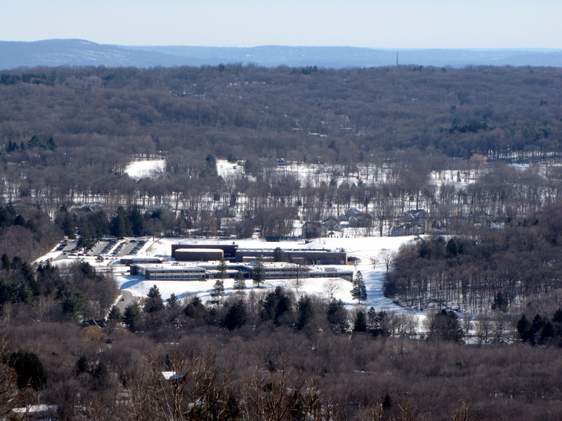
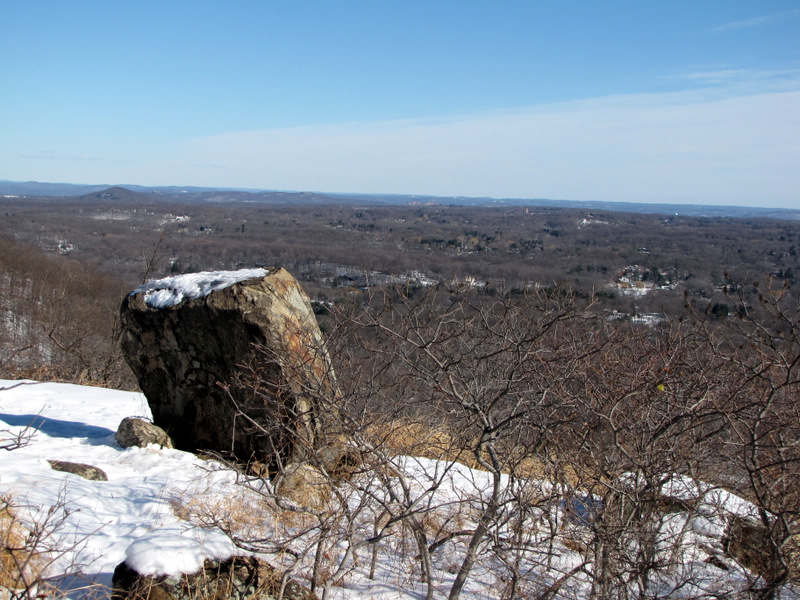
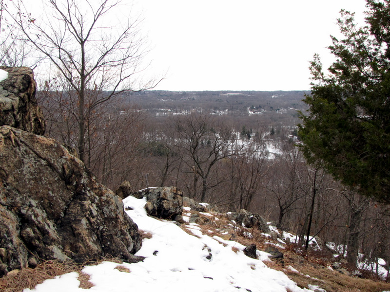 View SE |
 |
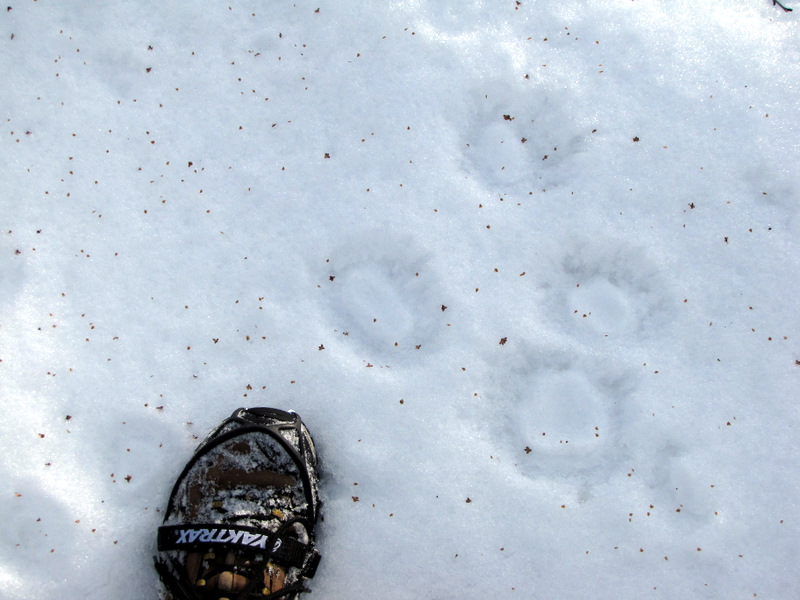
 Raccon tracks |
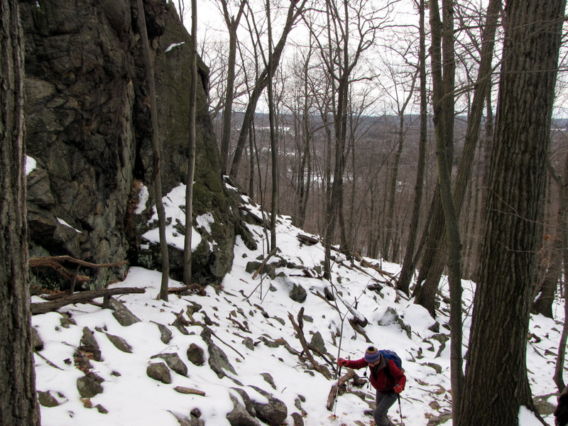
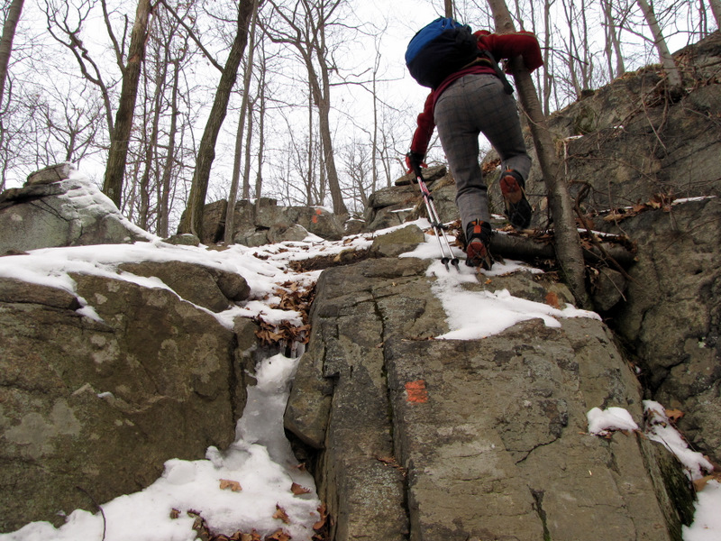 More climbing |
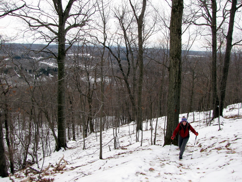 |
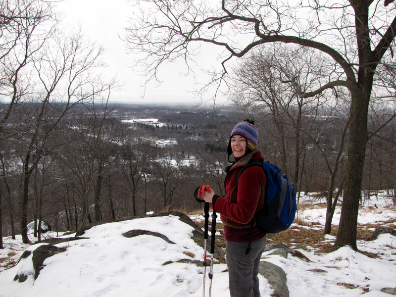
 Views keep getting better [Photo by Laura] |
 View east |
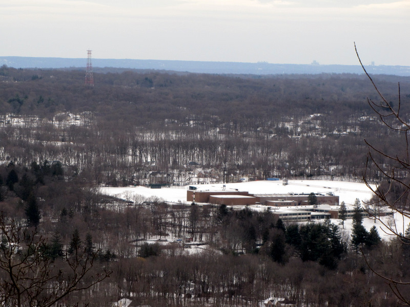 |
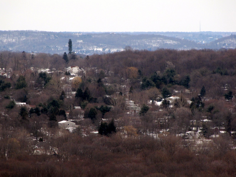
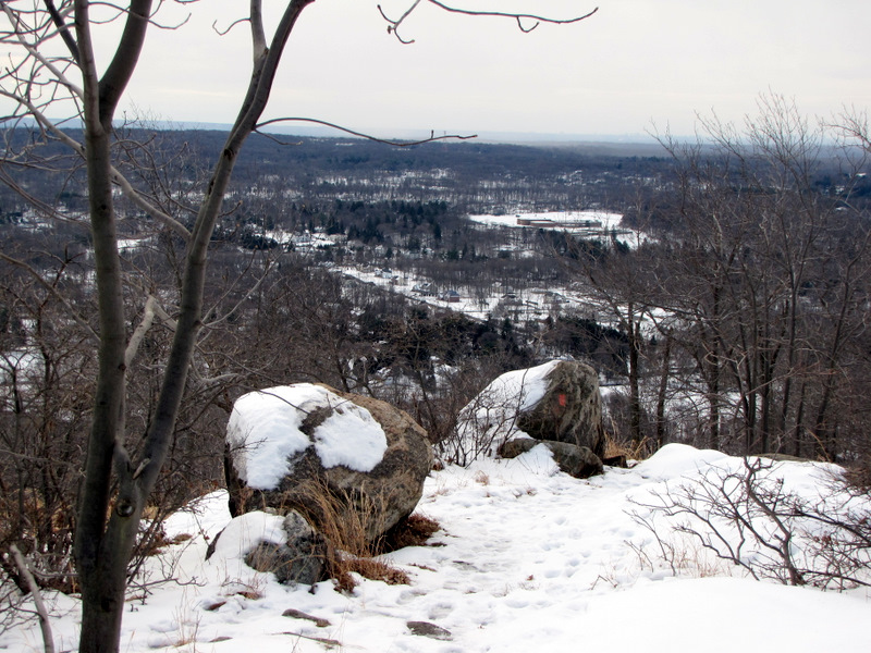
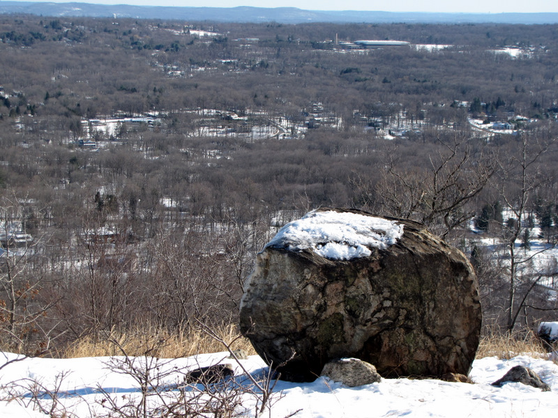
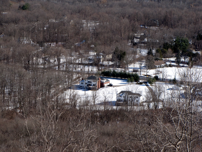
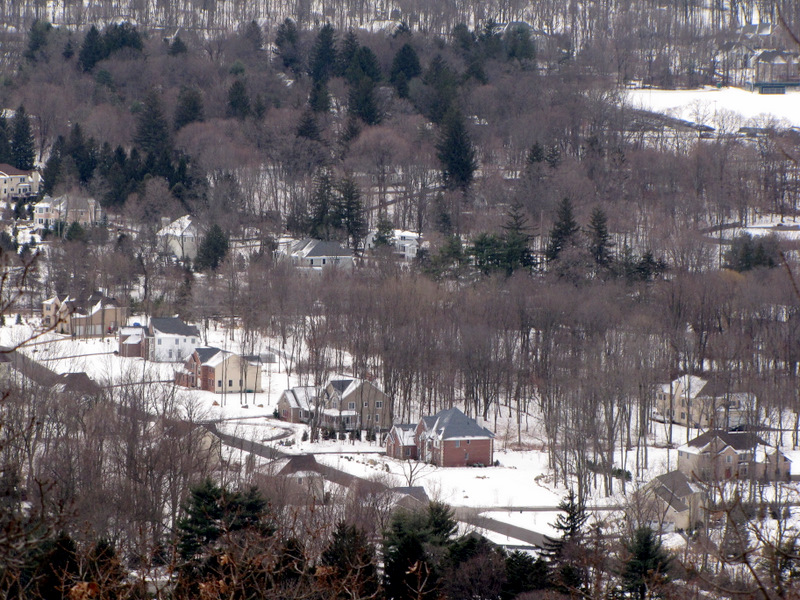 Houses in Montebello |
 |
 |
 |
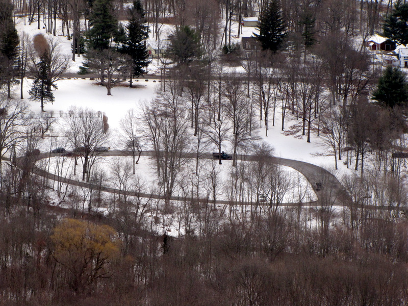 Kakiat parking circle |
 View NE |
 |
 More climbing |
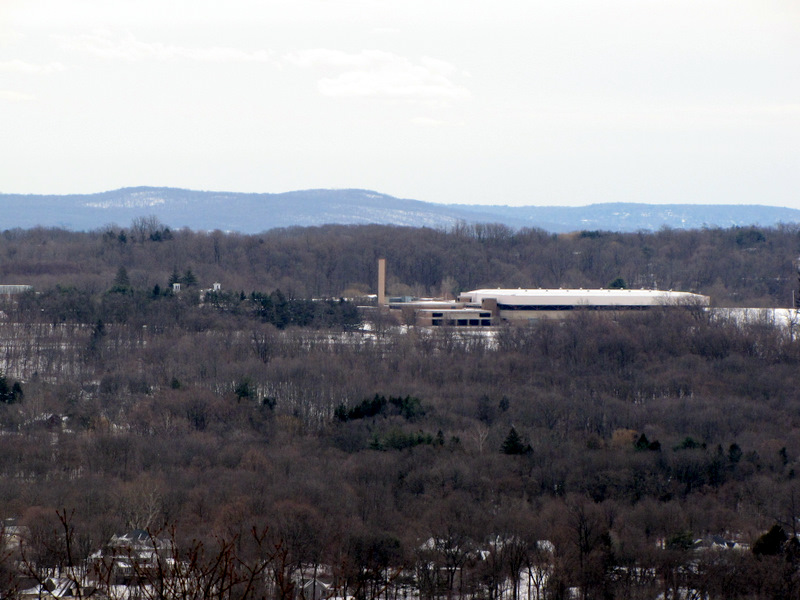
 View to Corbis Mountain |
 View N to Corbis |
 |
 |
 |
 |
 View of Corbis Mountain |
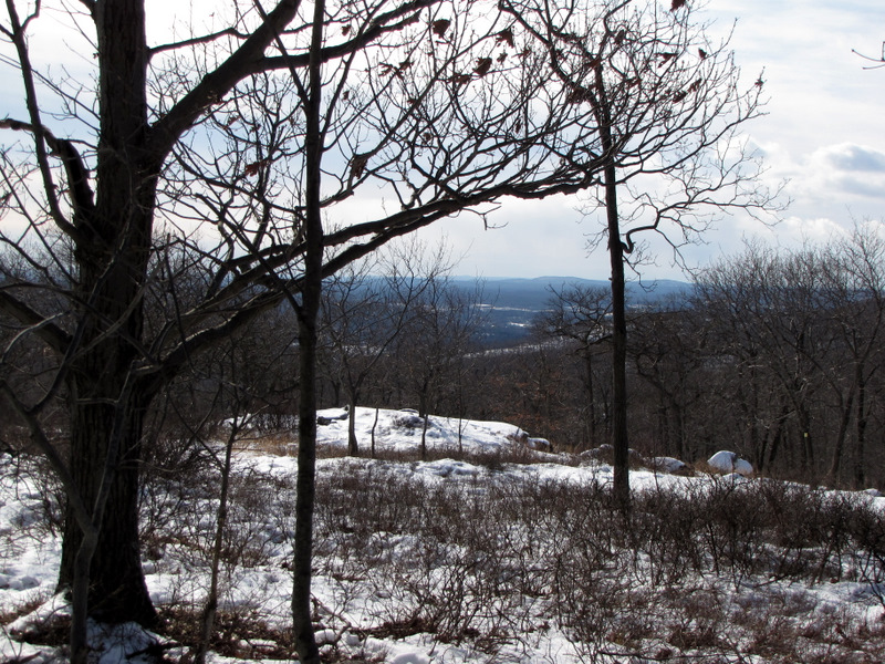
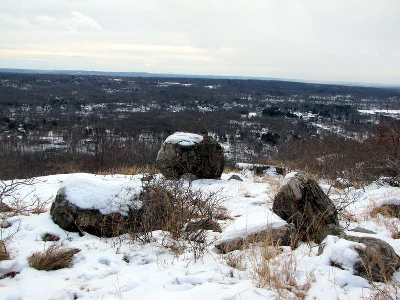 View east from local high point |
 |
 Power line cut looking NE |
 Service road for gas line |
 Gas line cut |
 About to turn on Kakiat trail |
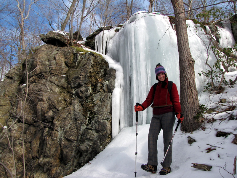
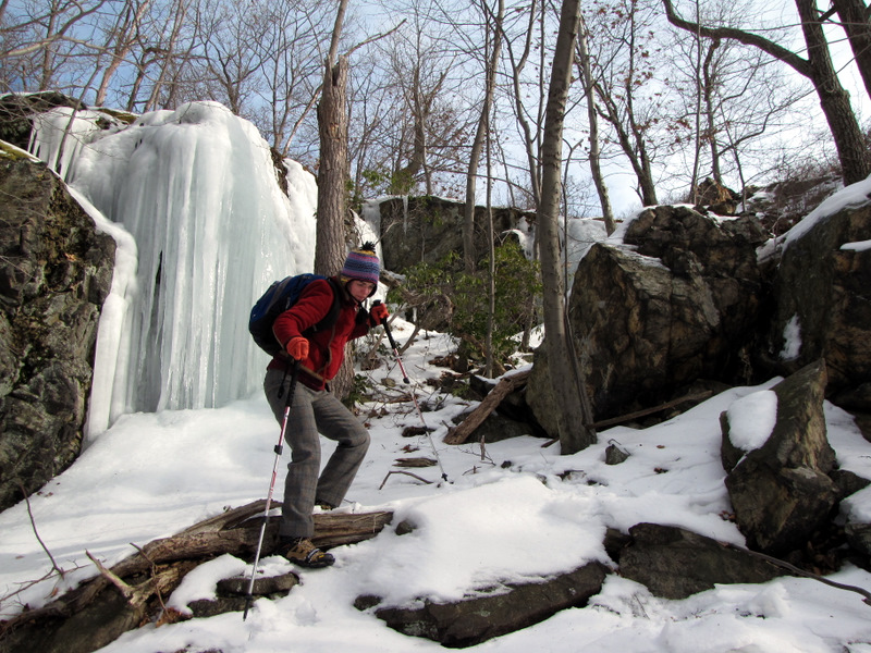
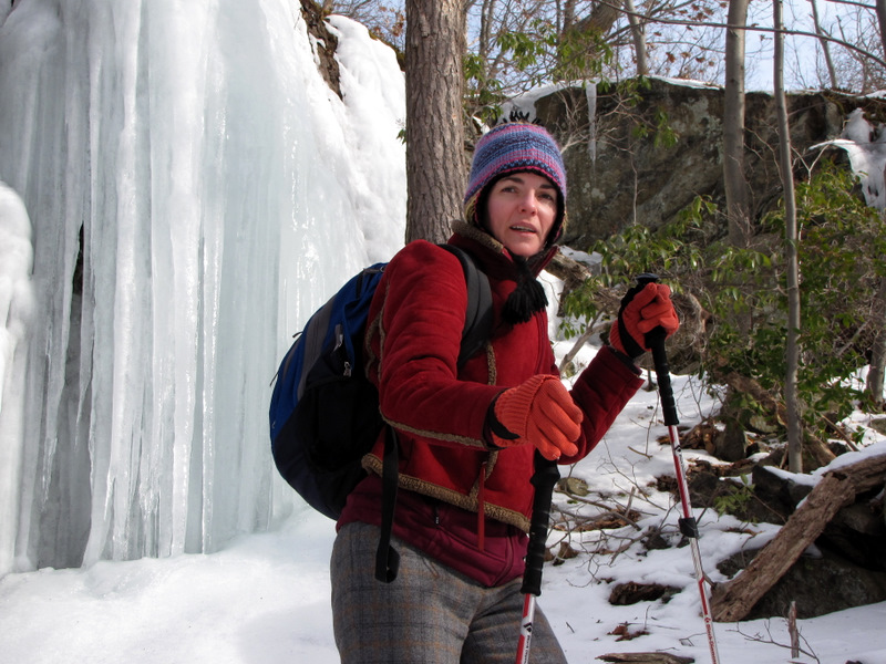
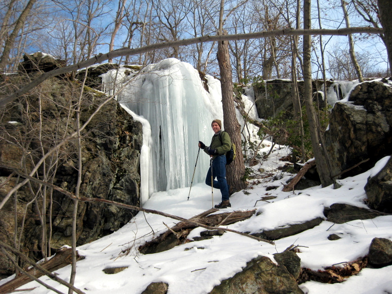 Giant icycles [photo by Laura] |
 Giant icycles on Kakiat trail |
 |
 |
 |
 Mountain Laurel on Kakiat trail |
 More raccoon tracks |
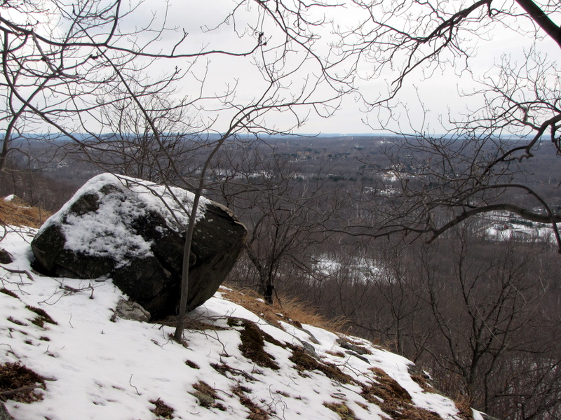
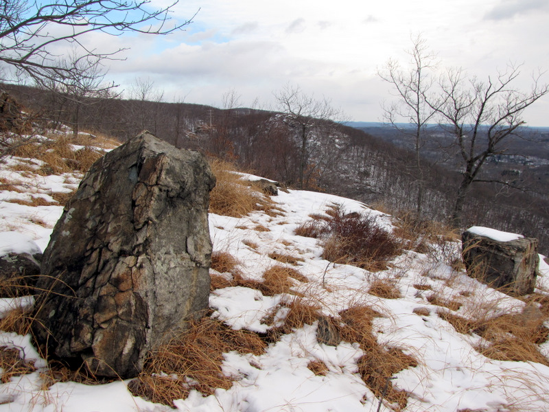
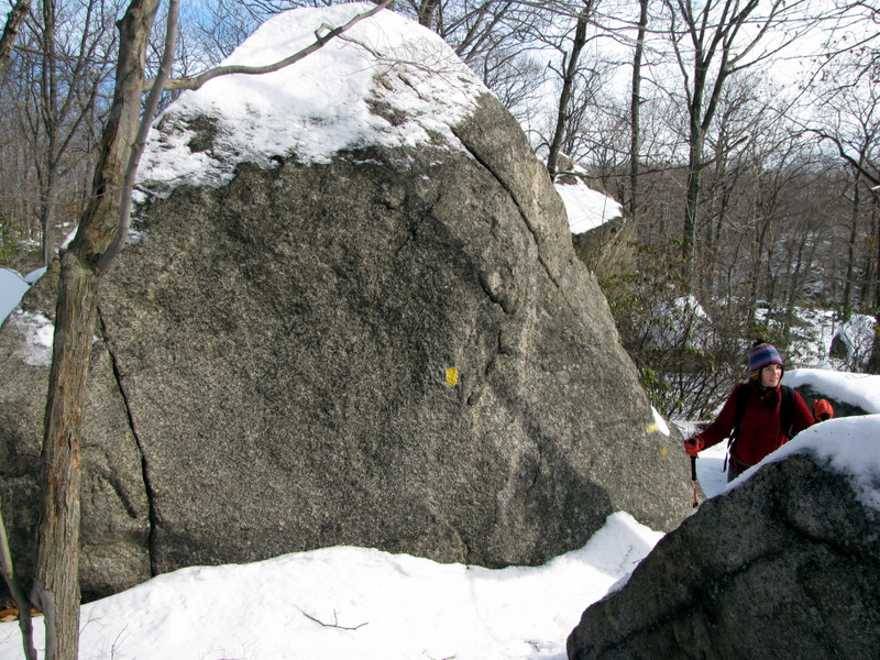
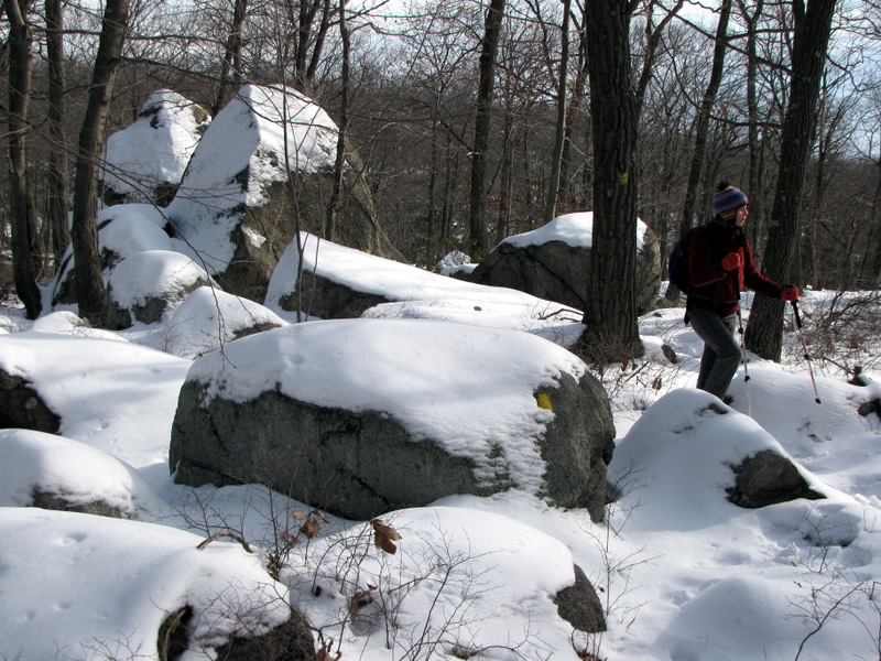
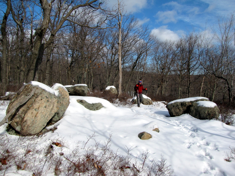
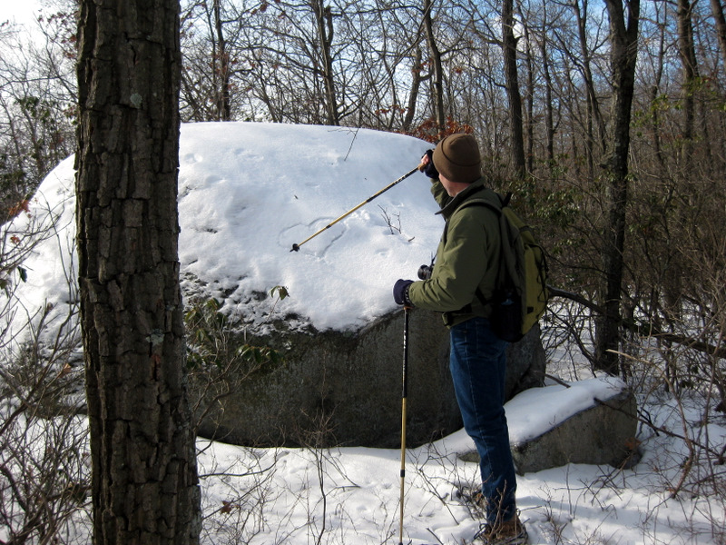
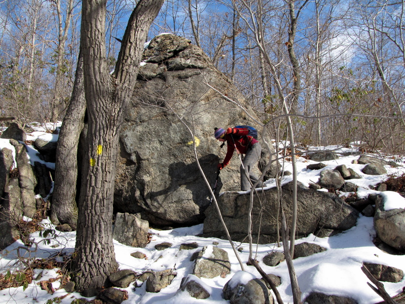
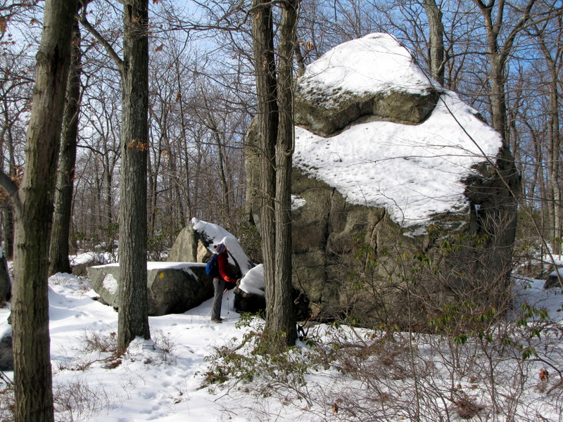 Grandpa Rock ... |
 ... on Suffern-Bear Mt trail |
 Tiny tree in Grandpa Rock |
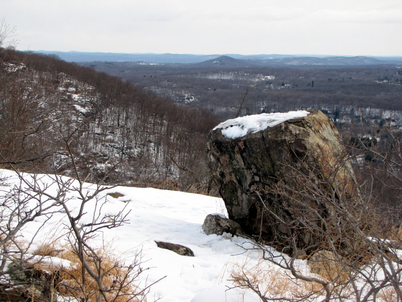
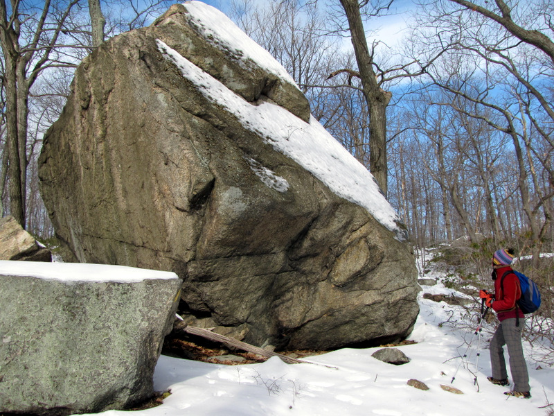
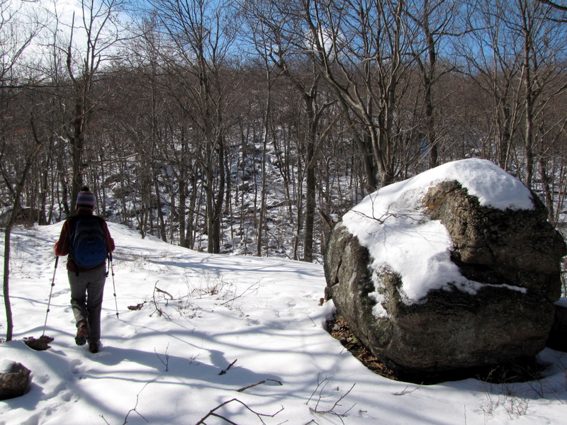
 Grandma Rock [photo by Laura] |
 Grandma Rock |
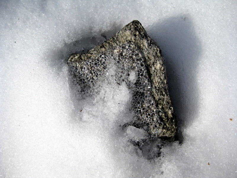 Ice art [photo by Laura] |
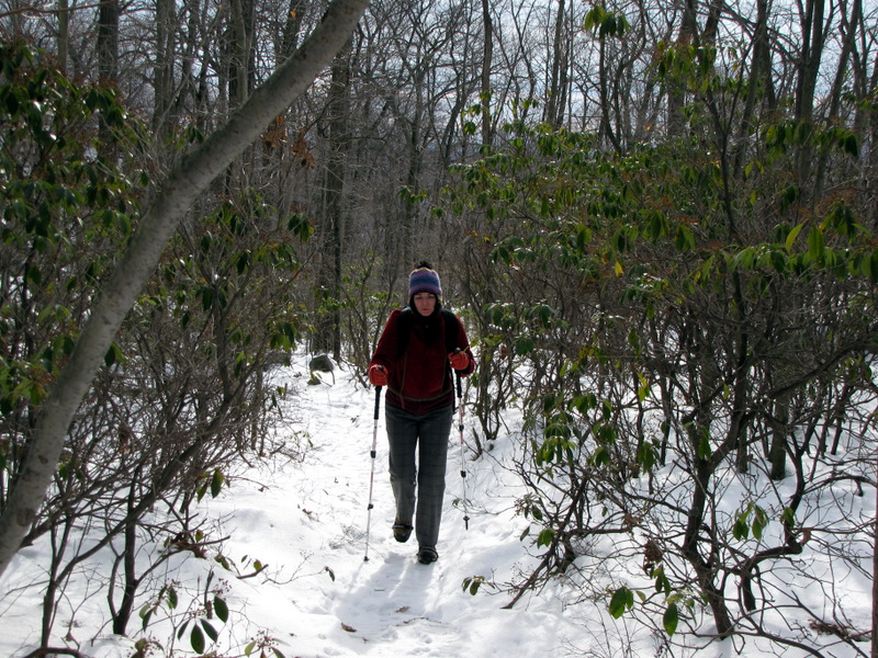
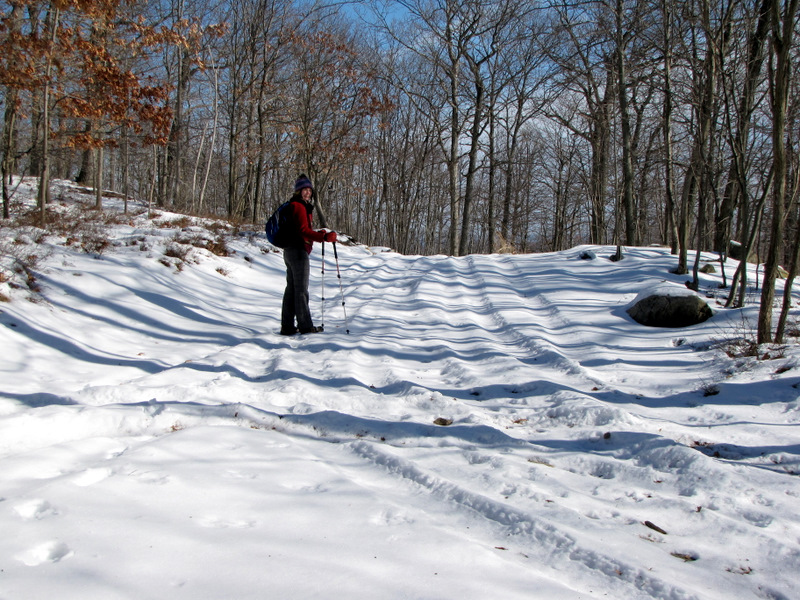
 Lovely snow on SBM trail |
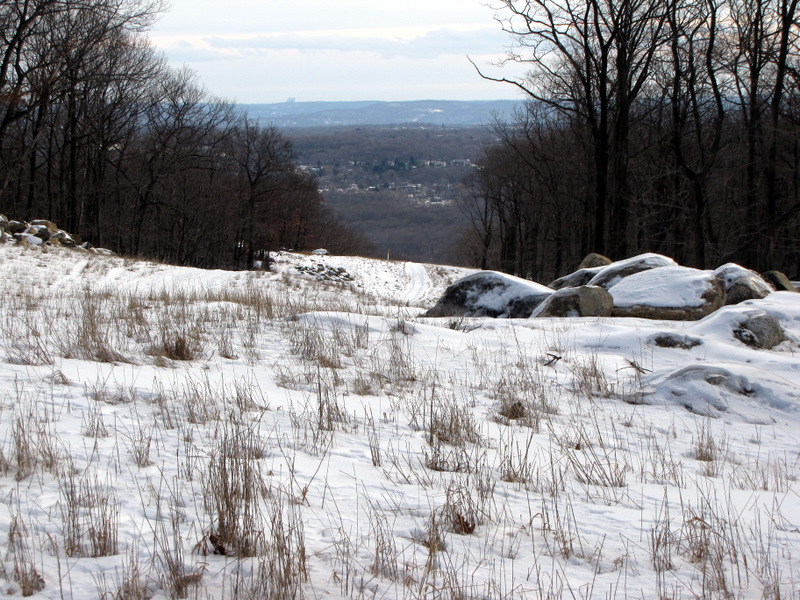
 See the Manhattan skyline? |
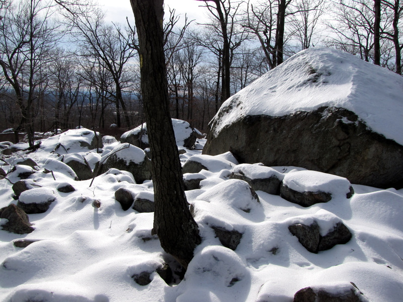 Like powdered sugar |
 |
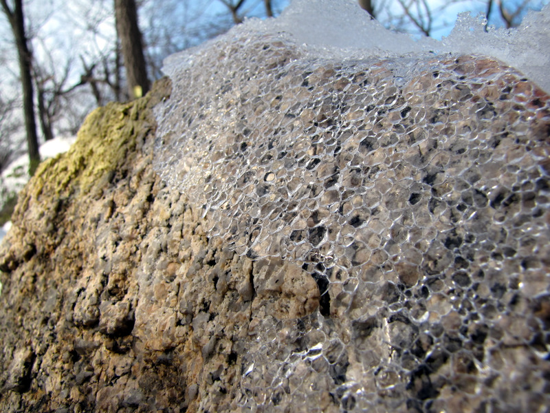 More ice art |
 Bear cub tracks? |
 |
 |
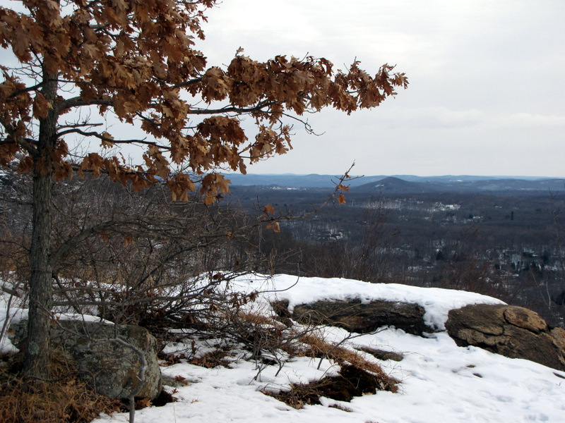
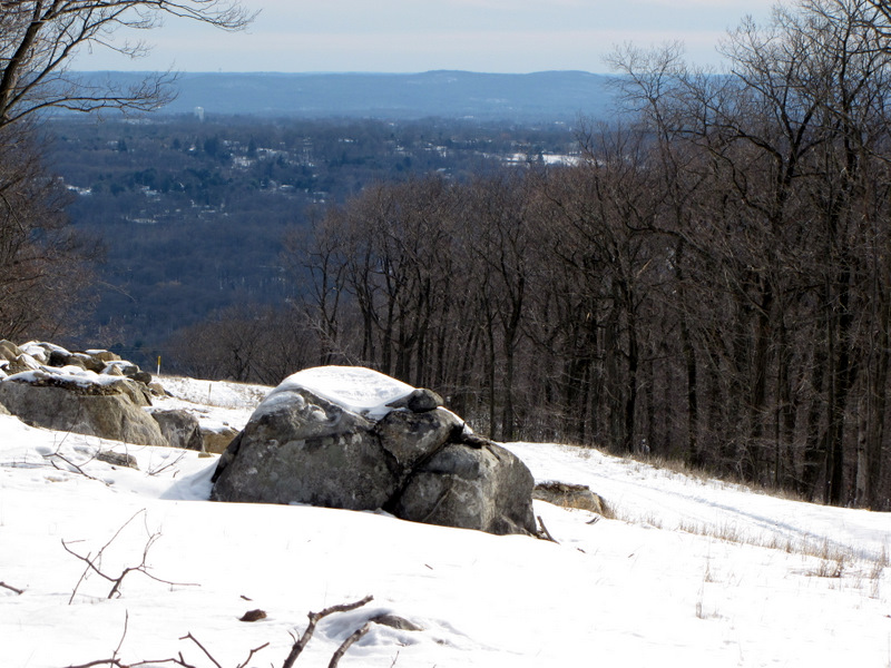 View from SBM trail |
 Gas line cut |
 |
 View SE from gas line |
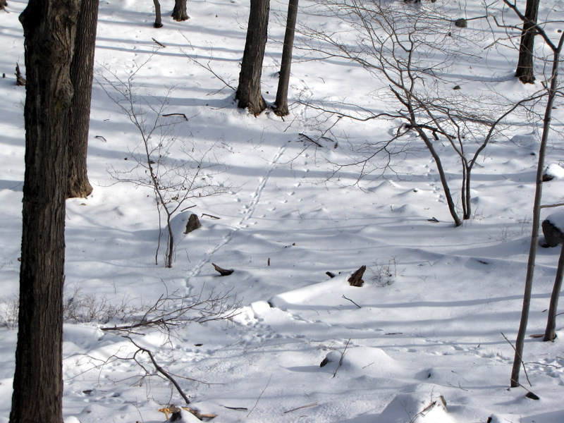 Animal tracks abound |
 |
 [photo by Laura] |
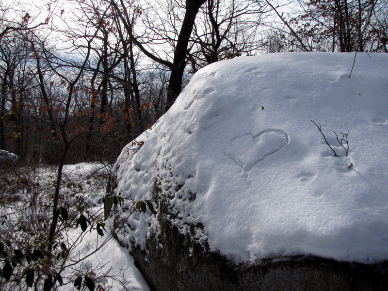 Snow graffiti |
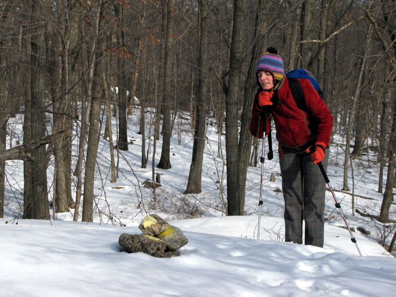 Resting by a cairn |
 |
 |
 |
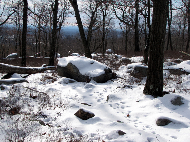
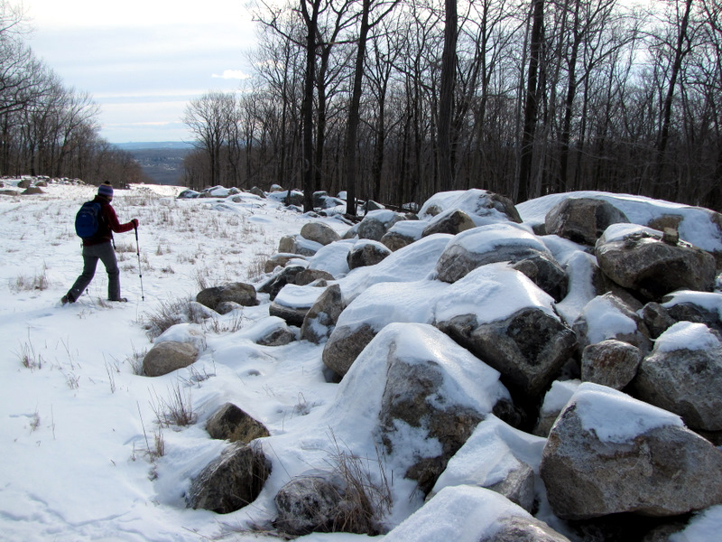
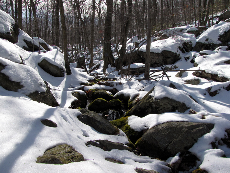
 Approaching Valley of Dry Bones |
 Valley of Dry Bones |
 |
 |
 |
 |
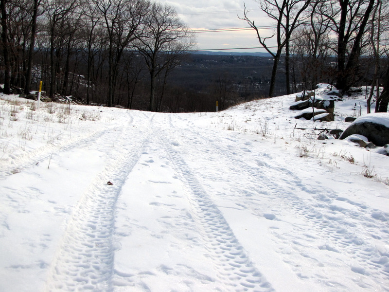
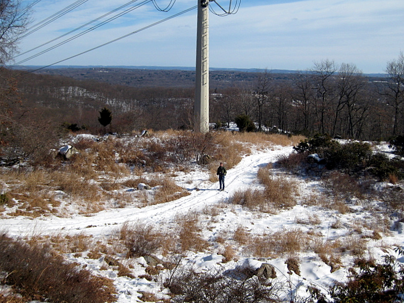
 Road for power line |
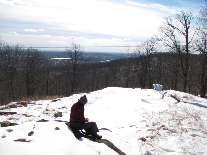 Our lunch spot |
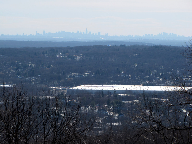 Manhattan skyline |
 |
 |
 Hiking back under power line |
 |
 [Photo by Laura] |
 Meandering service road |
 |
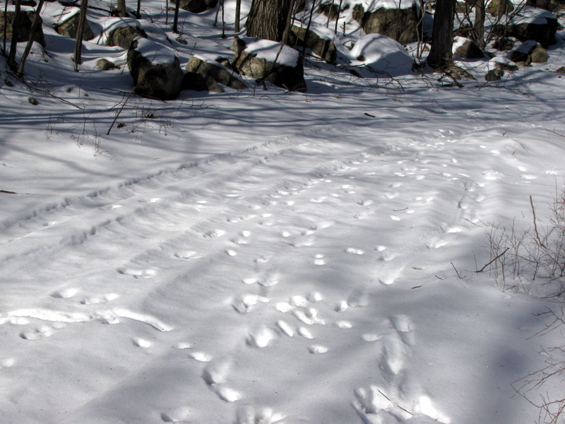 Fox tracks |
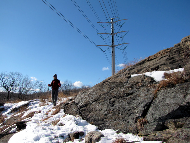
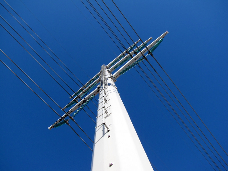
 Pylon |
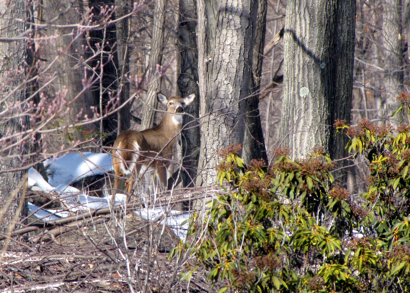 Interested deer |
 |
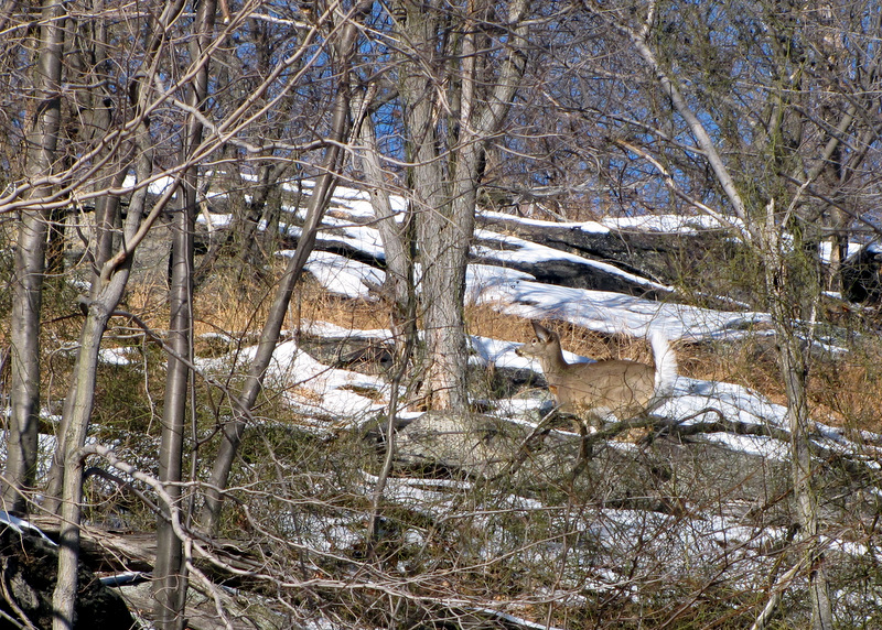 Uninterested deer |
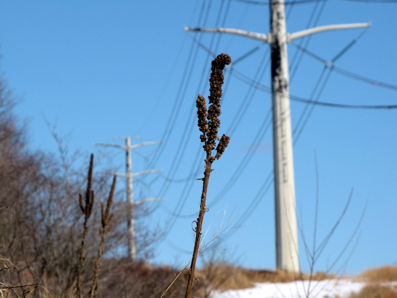 Nature and industry |
 |
 It doubles as a bridle path |
 |
 |
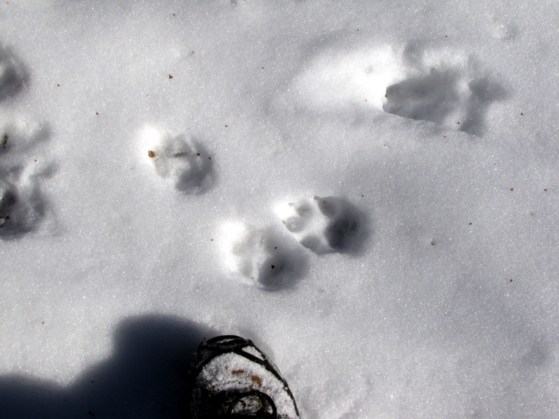 More fox tracks |
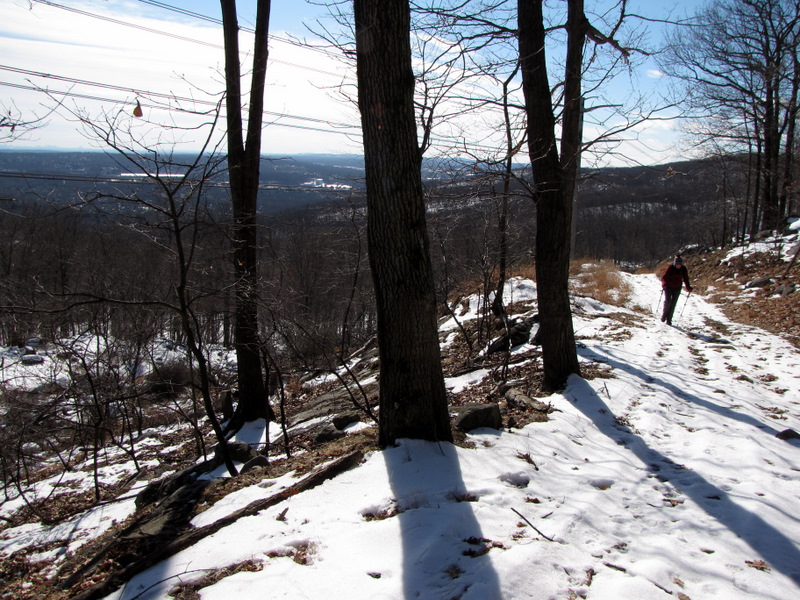
 Back on Mountain trail |
 View east |
 |
 |
 |
 Descending |
 |
 |
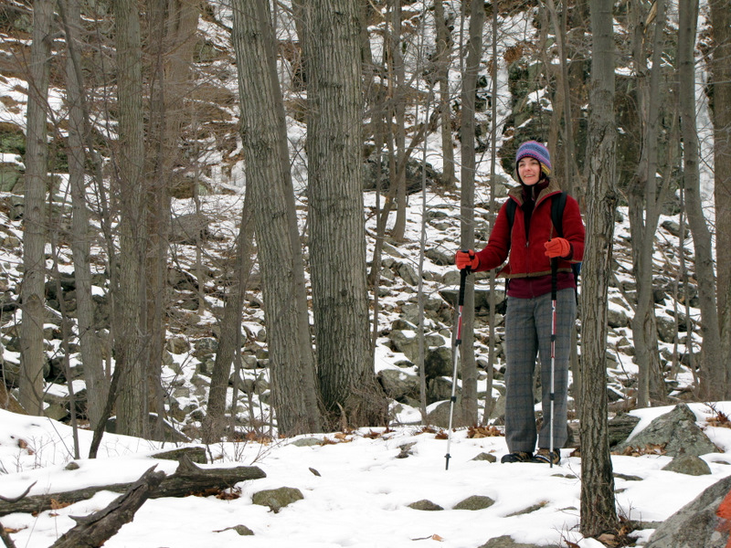
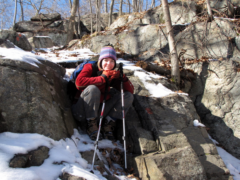 A short breather |
 |
 Bridge over ... |
 ... Mahwah River |

|
|
Photographs and content copyright © Dan Balogh Web design by Dan Balogh |