 |
|
Today we hiked in two little gems in Hunterdon County, the Sourland Mountain Preserve (not to be confused with Somerset County's Sourland Mountain Preserve!) and North
Stony Brook Preserve. The former is east of Rileyville Road (Route 607) in East Amswell while the latter is west. There's a special historical interest surrounding Sourland
Mountain Preserve. The preserve is situated in a square bounded on three sides by Rileyville Road (to the west), Lindburgh Road (east) and Ridge Road (north). Within this
very same area (you can clearly see it on the Google Earth) is the
house of Charles Lindbergh, the site of the infamous kidnapping in March, 1932. It was from this house that Lindbergh's baby son disappeared. Sadly the remains of the boy
were found less than 5 miles SE of the house two months later. The eastern end of the white trail in Sourland gets quite close to the house, closer than one can
get from Lindbergh Road (since the house is so far off the road). Had there not been leaves on the trees, we may have been able to see it. We couldn't help but wonder
if on that ill-fated night the kidnapper ran into the woods, with the baby, where we were now hiking.
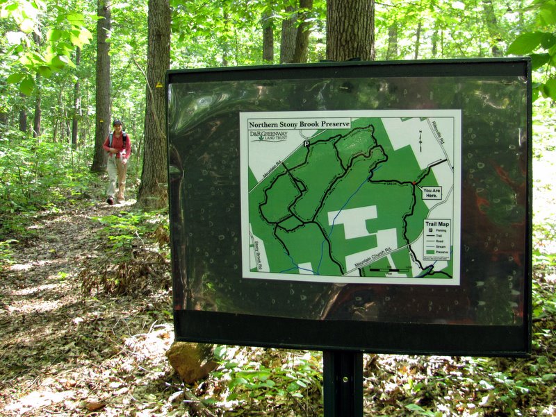
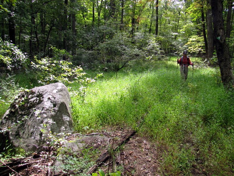
Using this map we parked on Rileyville Road, headed east into the preserve using the Service Road Trail. Don't be discouraged, it's hardly a road, but more a narrow dirt path, a woods trail in almost every sense. We made a right on the South Loop trail, then continue east on the White trail before picking up the eastern end of the Service Road trail which we took back west to the South Loop trail, making a left there and then heading back to the parking area. To hike the North Stony Brook Preserve, we walked out to Rileyville Road, made a right and after only about 100 feet saw the green trailhead on the western side of the road. We took this green trail in the clockwise direction. The loveliest part of the hike was the green trail south of Mountain Church Road where it ran parallel to a stream (North Stony Brook?). Total distance hiked today was 6.5 miles in just under 4 hours.
|
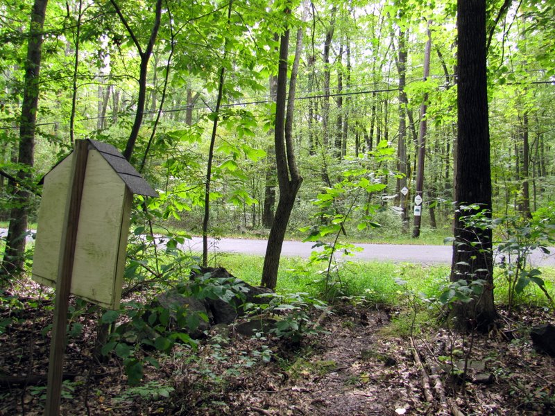
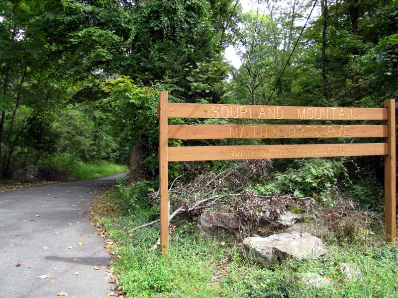 Entrance on Rileyville Road |
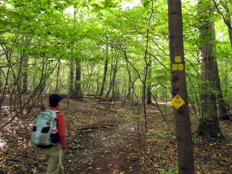
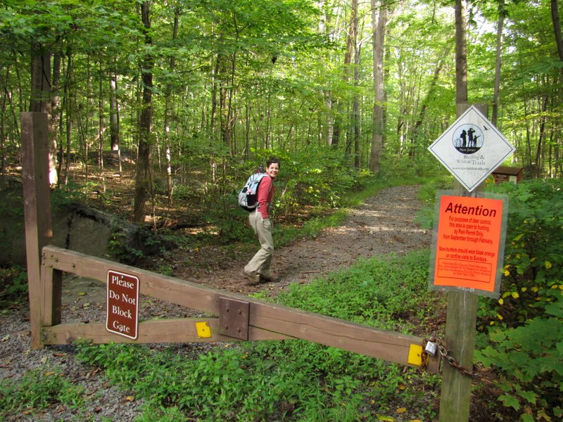 Trail head for Sourland |
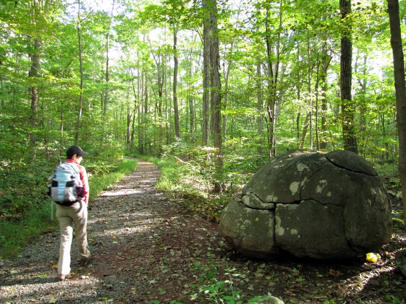 Service Road trail |
 |
 |
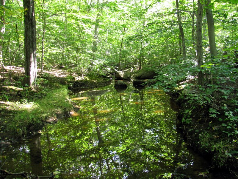
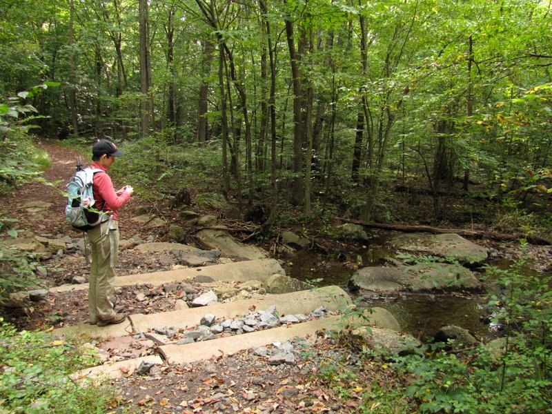 Concrete pipes |
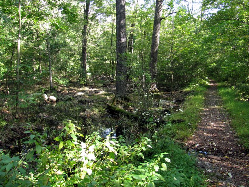
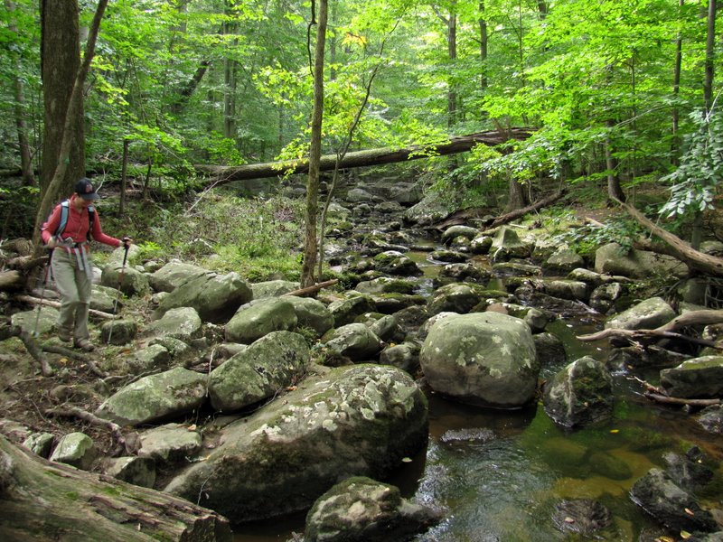
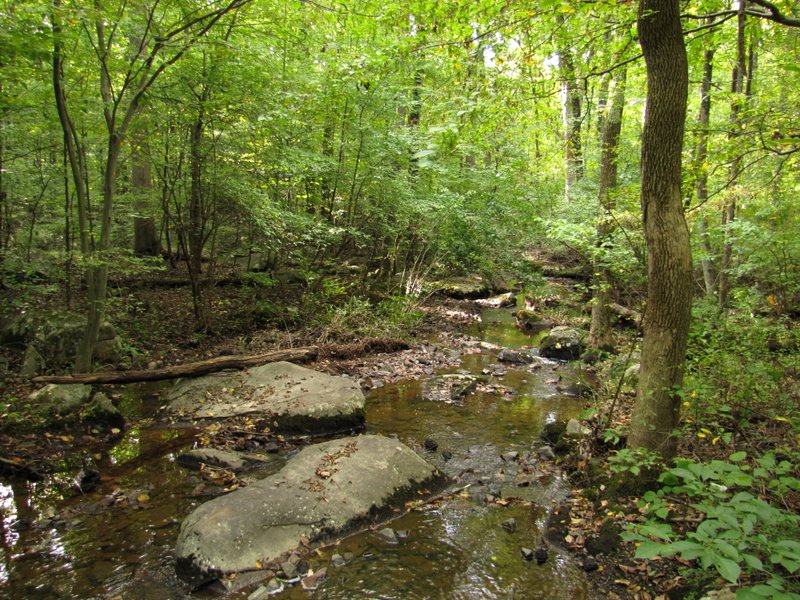 Stream |
 |
 |
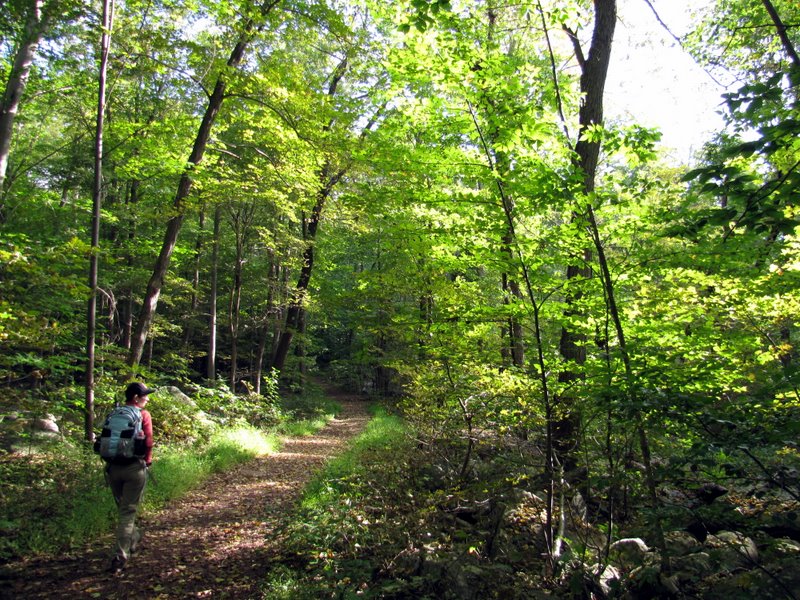
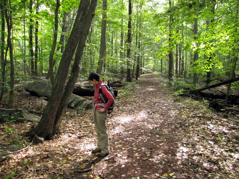
 South Loop trail |
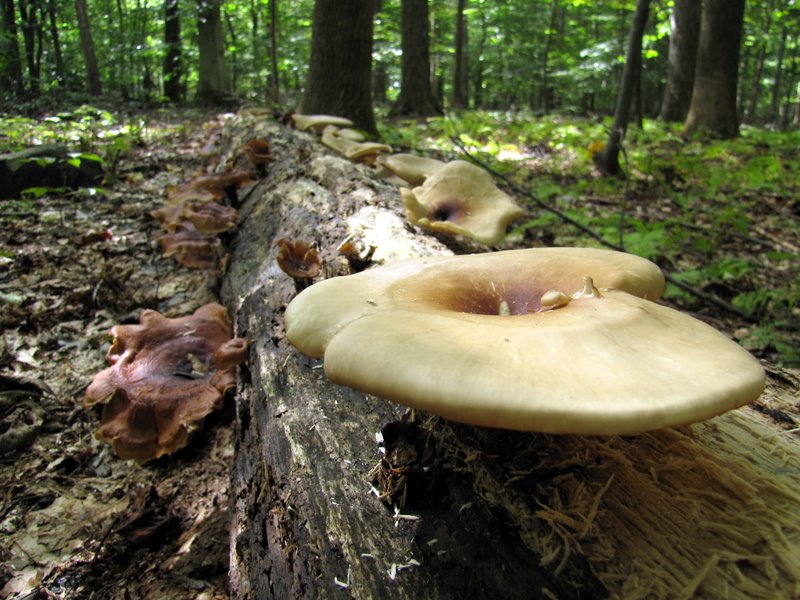
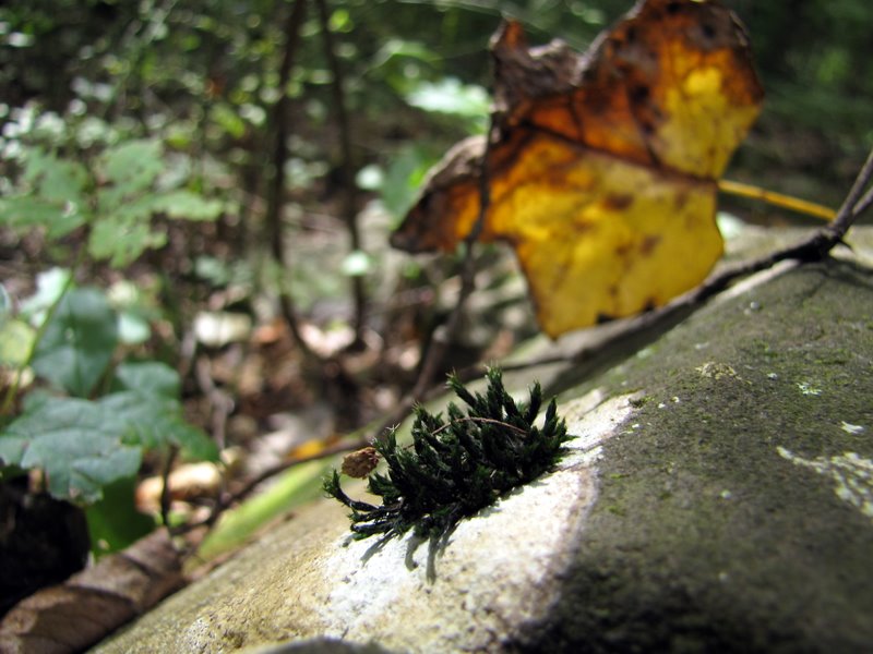
 Mushroom photography [photo by Laura] |
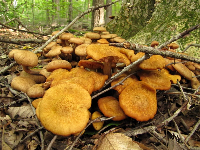 Mushrooms! |
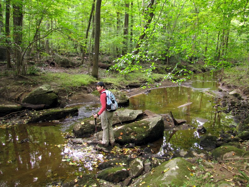
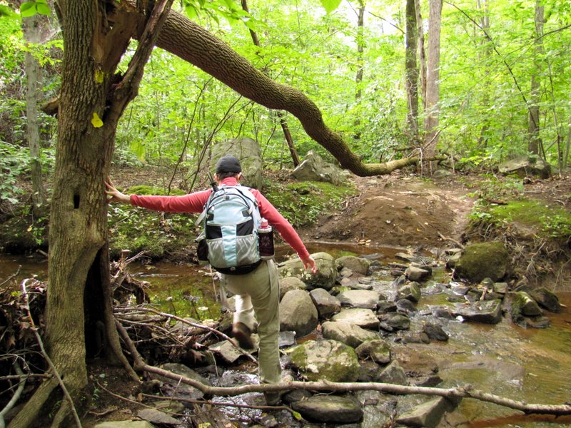 Creek crossing |
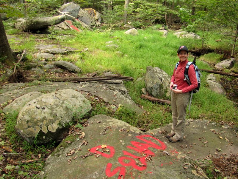 Spray paint ... |
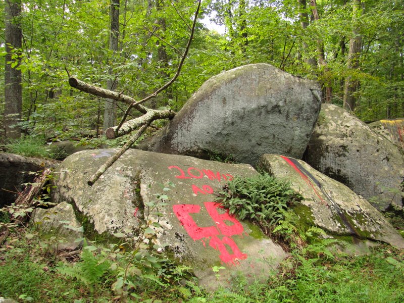 ... on boulders |
 |
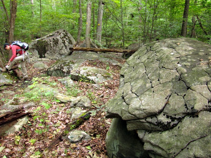 Interesting rock patterns |
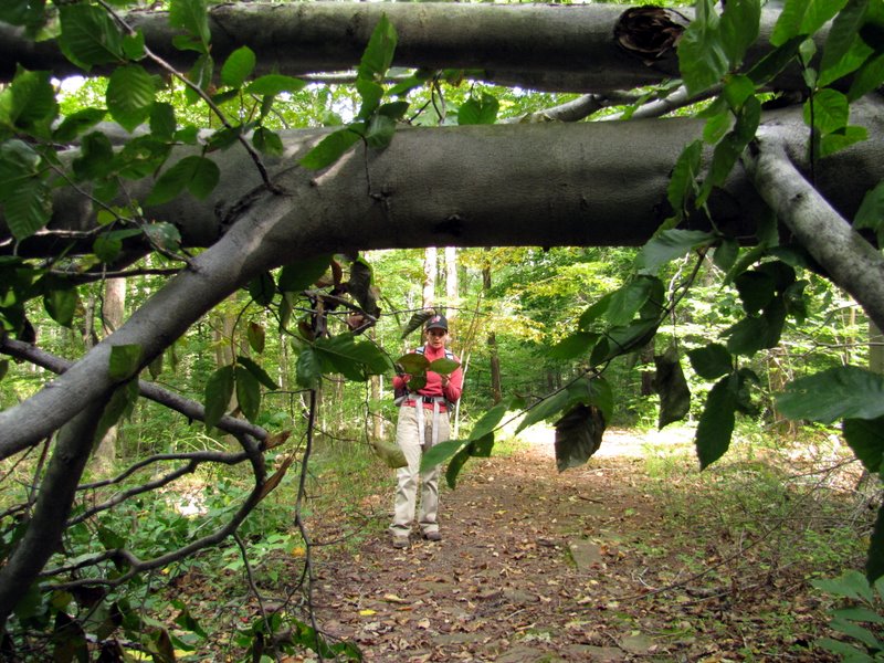
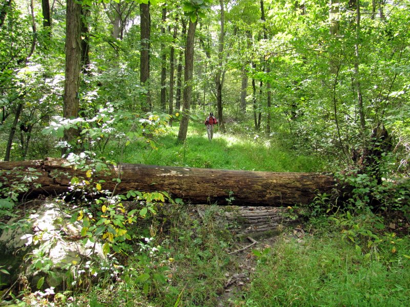
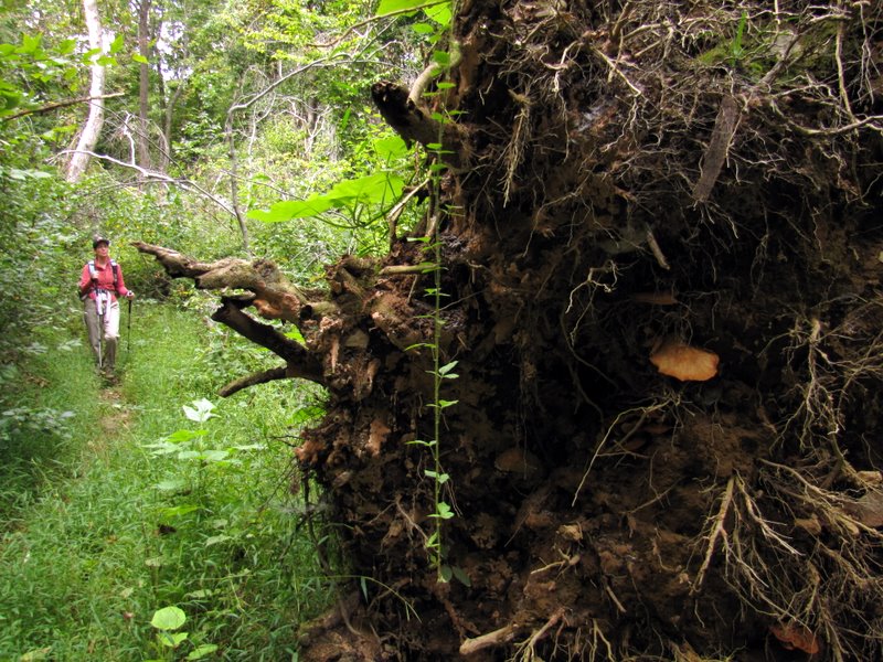
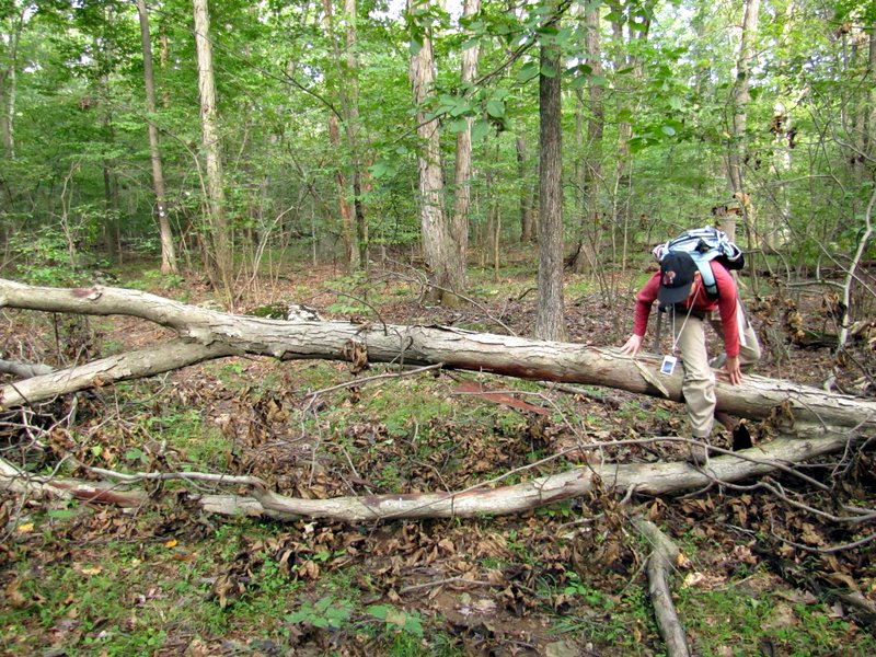 Irene blow-down |
 |
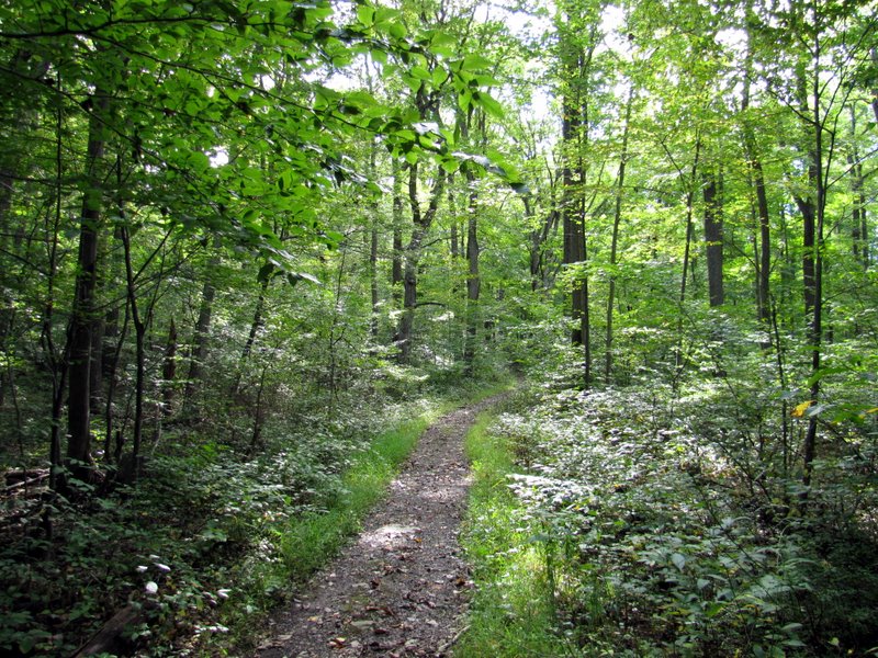
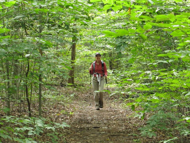
 On the White trail |
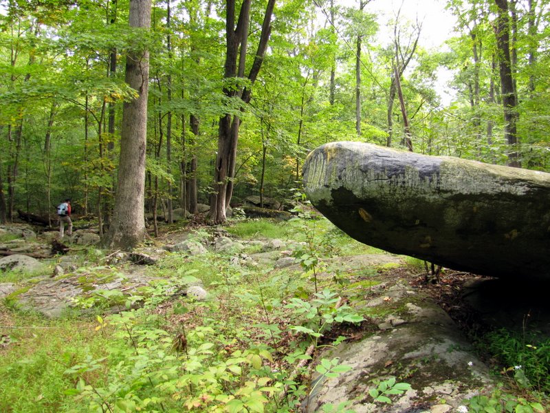
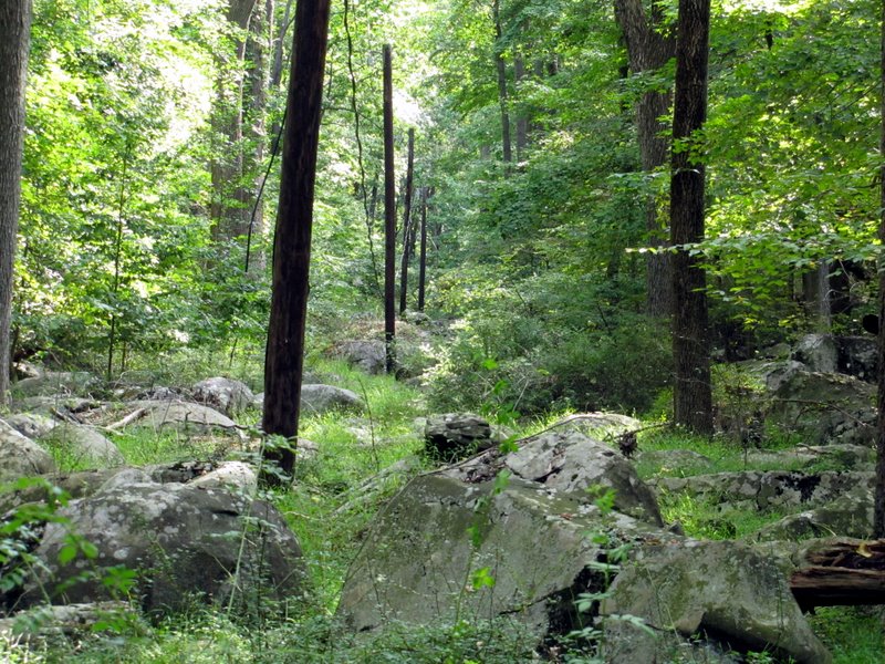
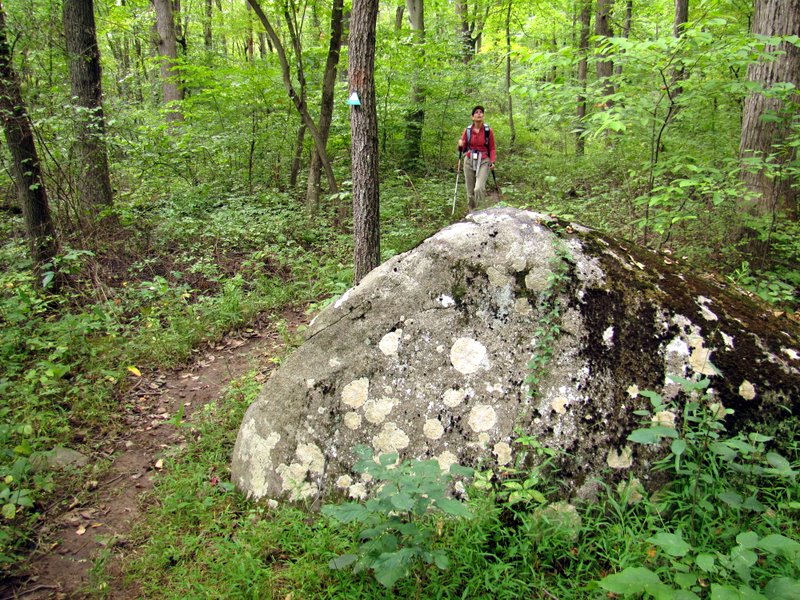
 Boulder field |
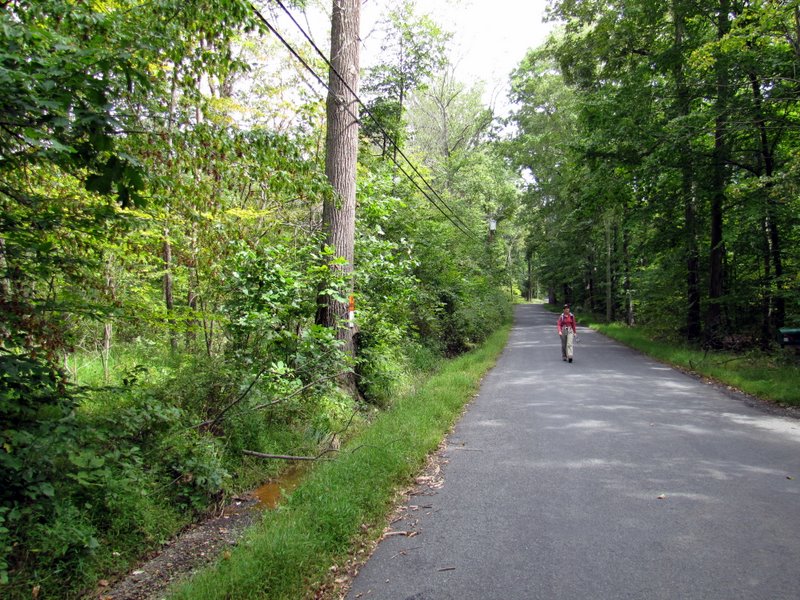
 Telephone line cut |
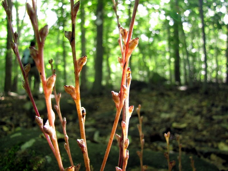
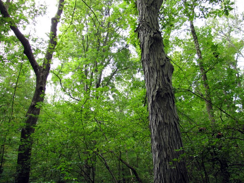
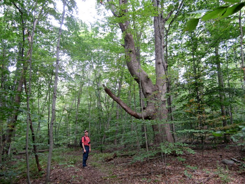
 White Ash |
 Two young deer |
 |
 Service Road trail |
 Another hurricane blow-down |
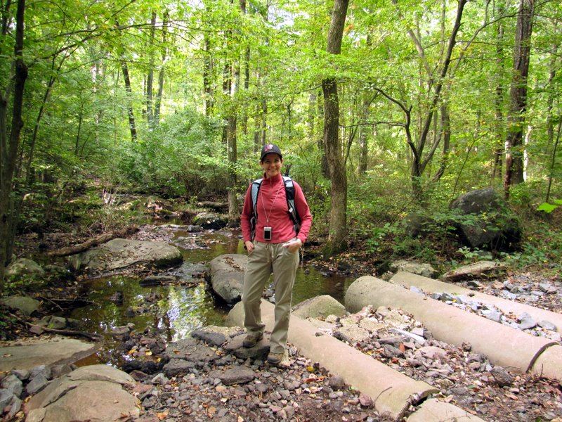
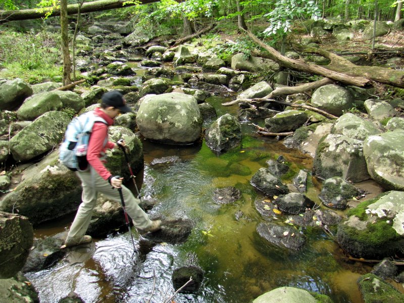
 Laura on other side |
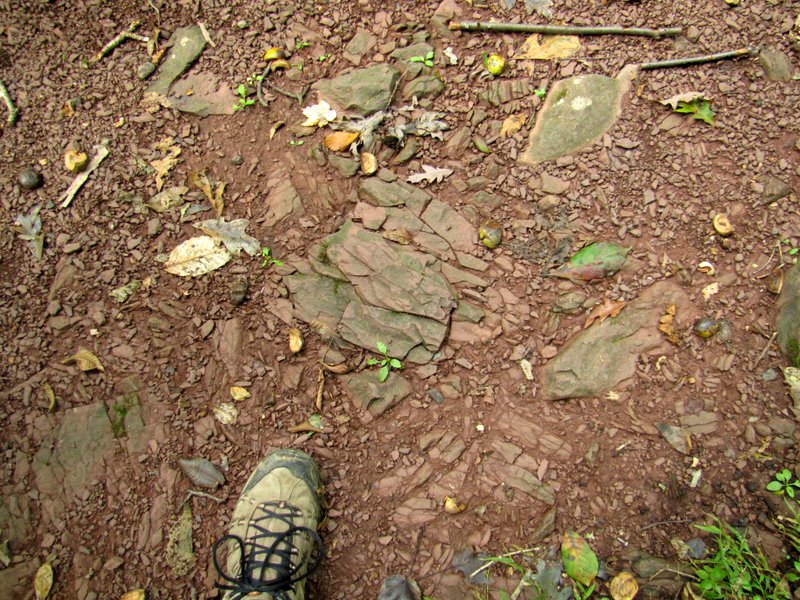 Brunswick shale abounds here |
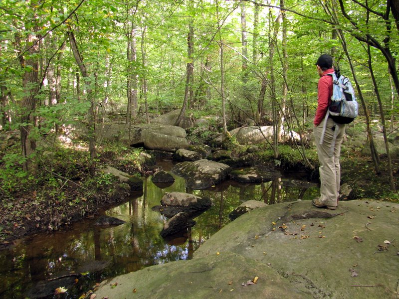
 View east of Service Road trail |
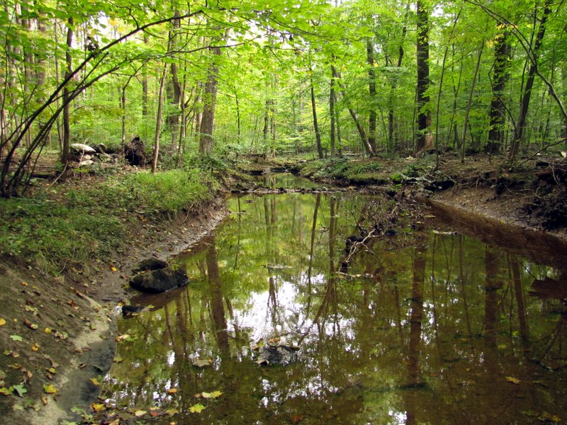
 Creek off SR trail |
 |
 Creek off ... |
 ... South Loop trail |
 |
 Mushrooms on bank |
 |
 |
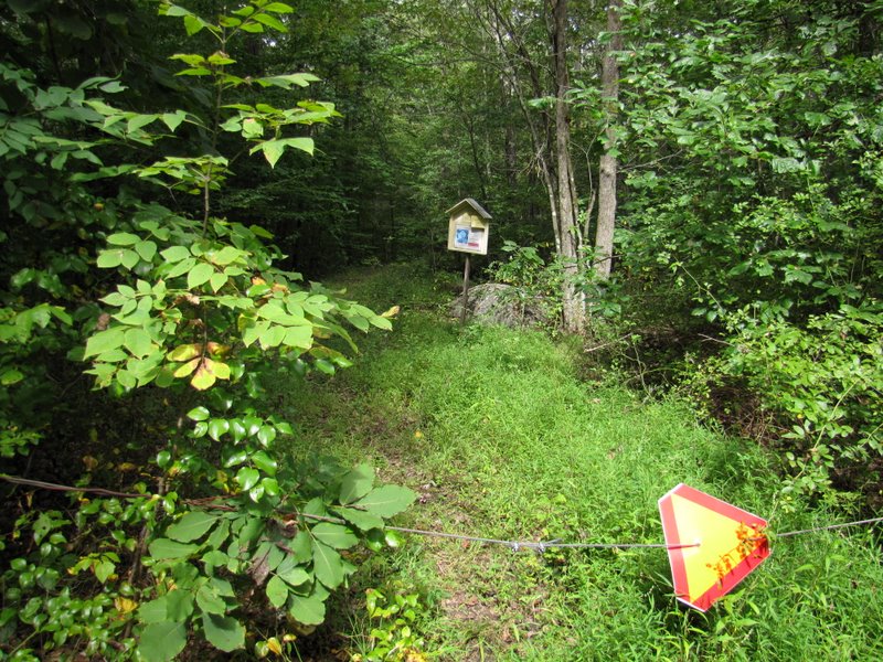
 Entering No Stony Brook Preserve |
 |
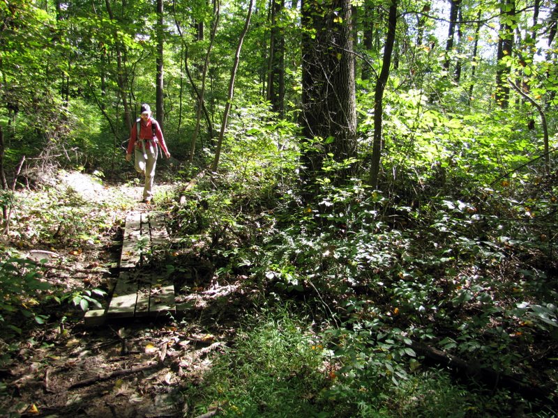 First of several boardwalks |
 [Photo by Laura] |
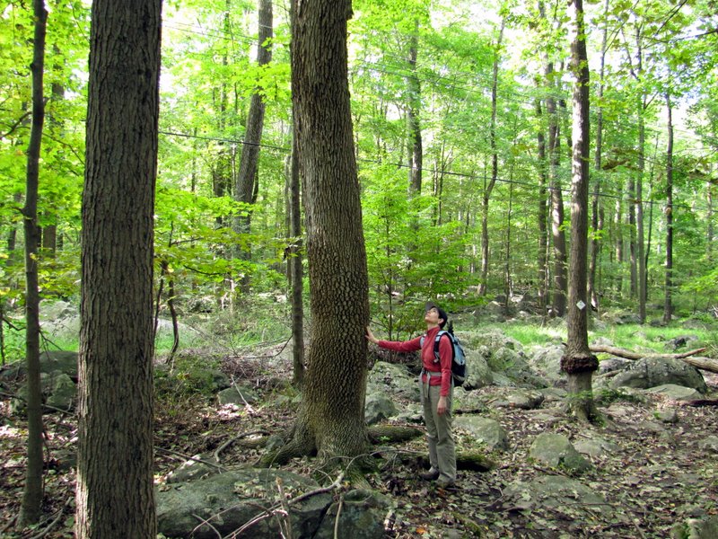
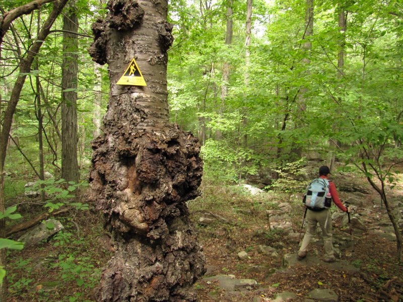
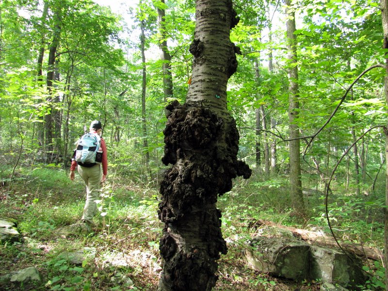 A tree with character |
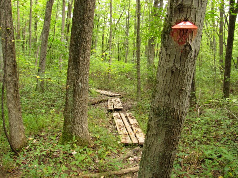
 Trail signs at every intersection |
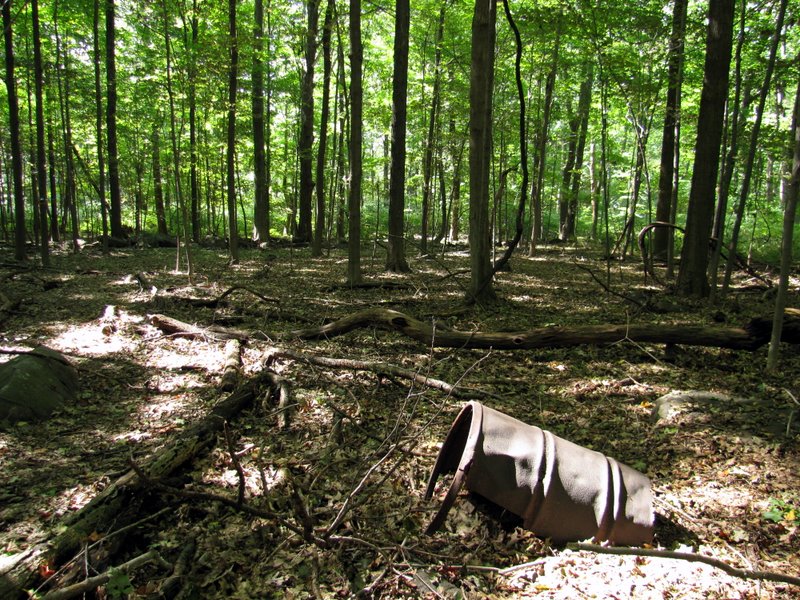 Very old drum |
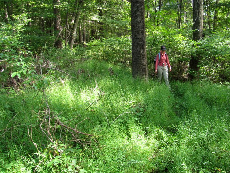 Grassy patch |
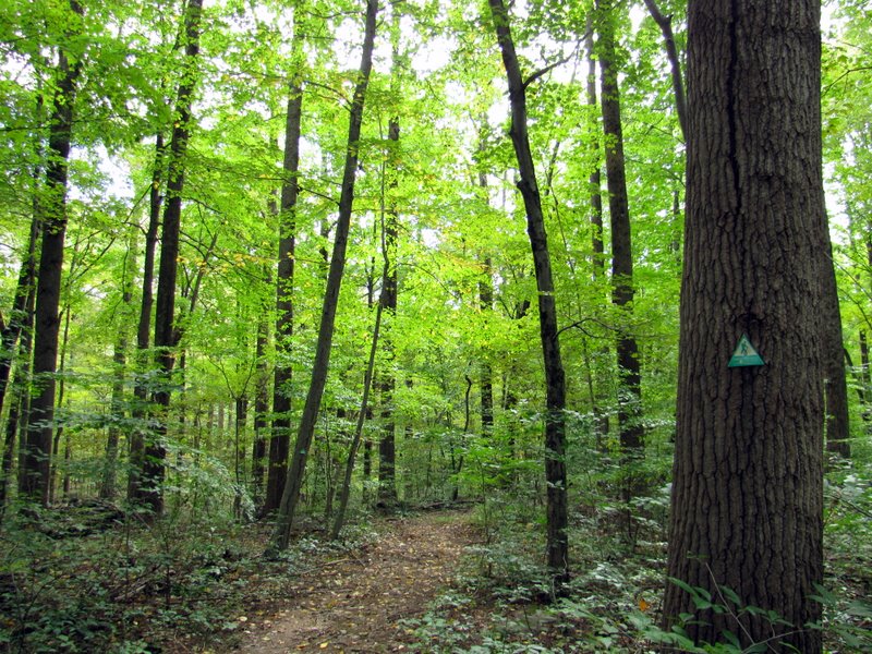
 White Ash on Green trail |
 More boardwalks |
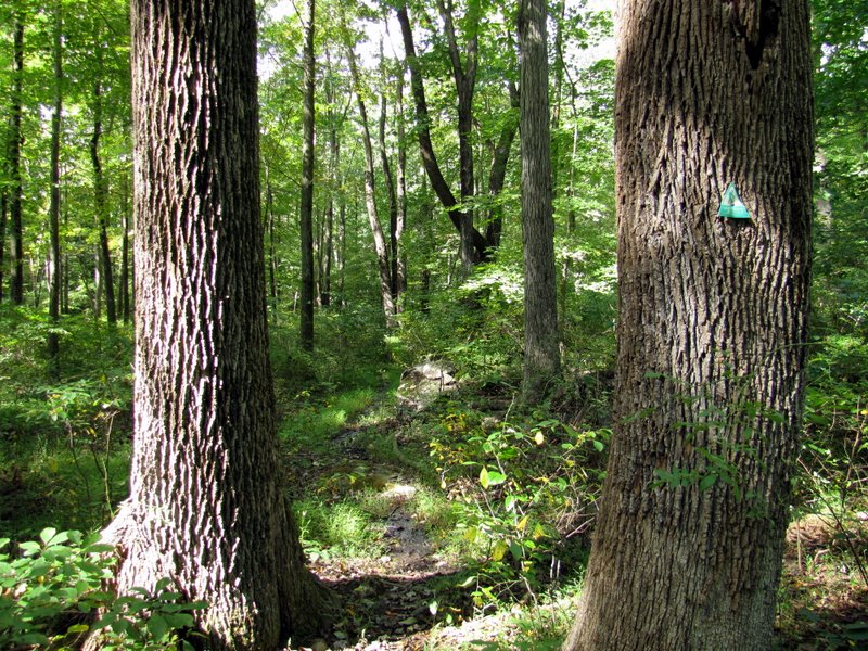
 The Green blaze |
 Crossing Mountain Church Road |
 Shagbark Hickory |
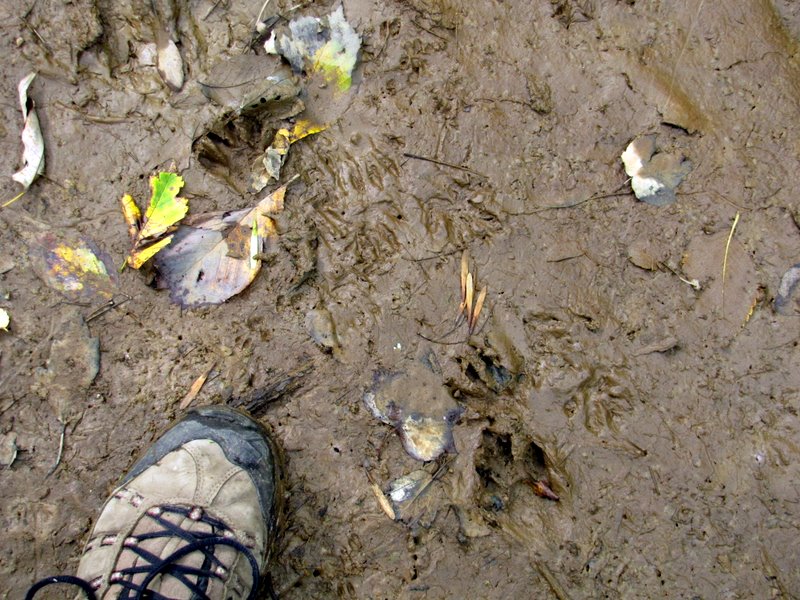 Tiny animals prints |
 |
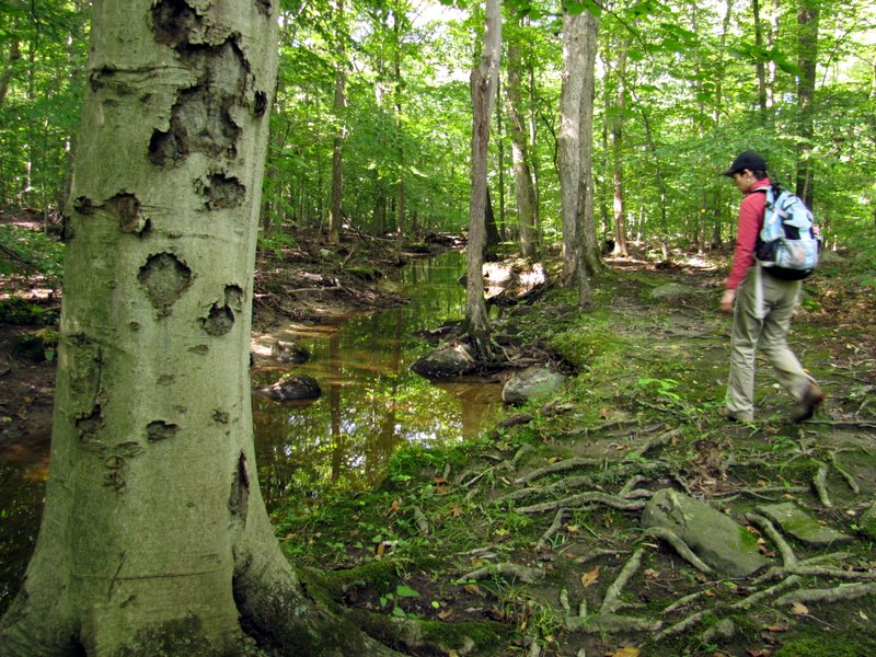
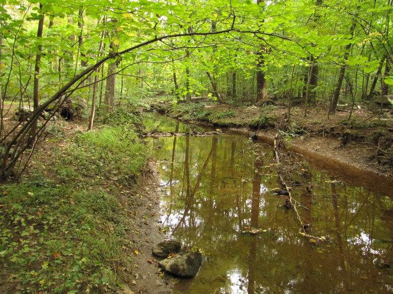 North Stony Brook |
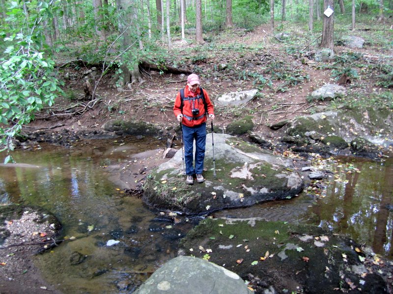
 Crossing the brook |
 [Photo by Laura] |
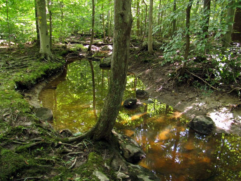
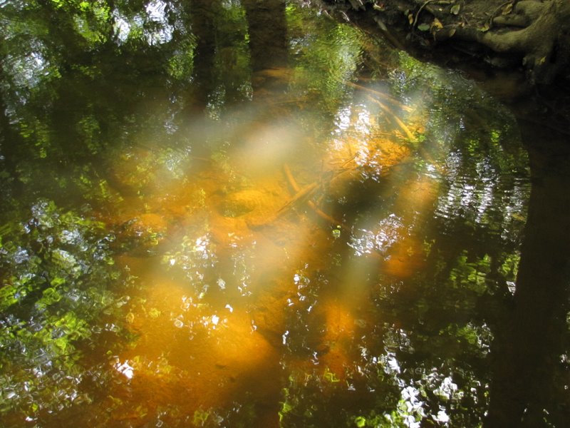
 Lovely views ... |
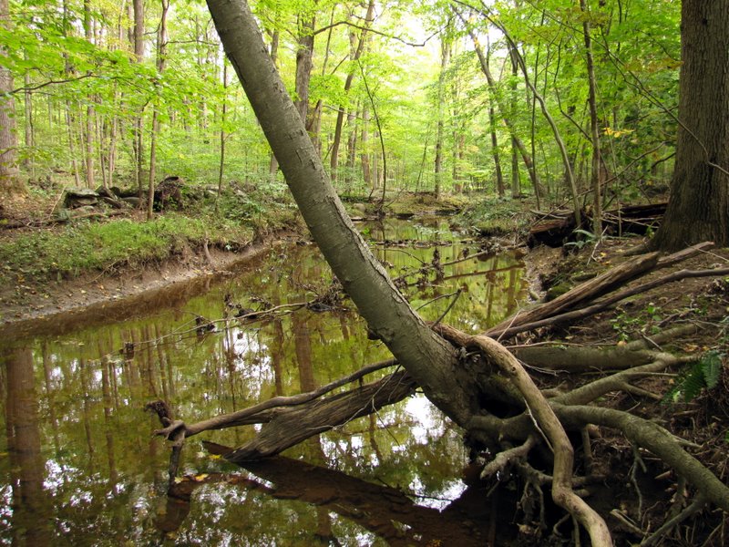 ... of the brook |
 |
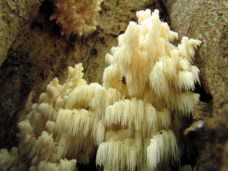 Awesome mushrooms ... |
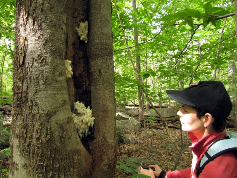 ... inside a tree! |
 |
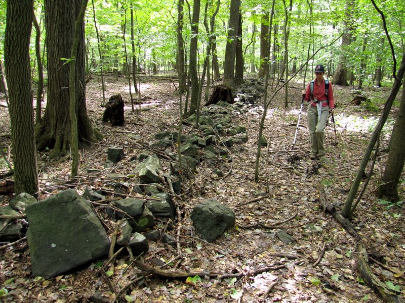 Boundary wall |
 Tree packed with mushrooms |
 Crossing Northern Stony Brook ... |
 ... for second time |
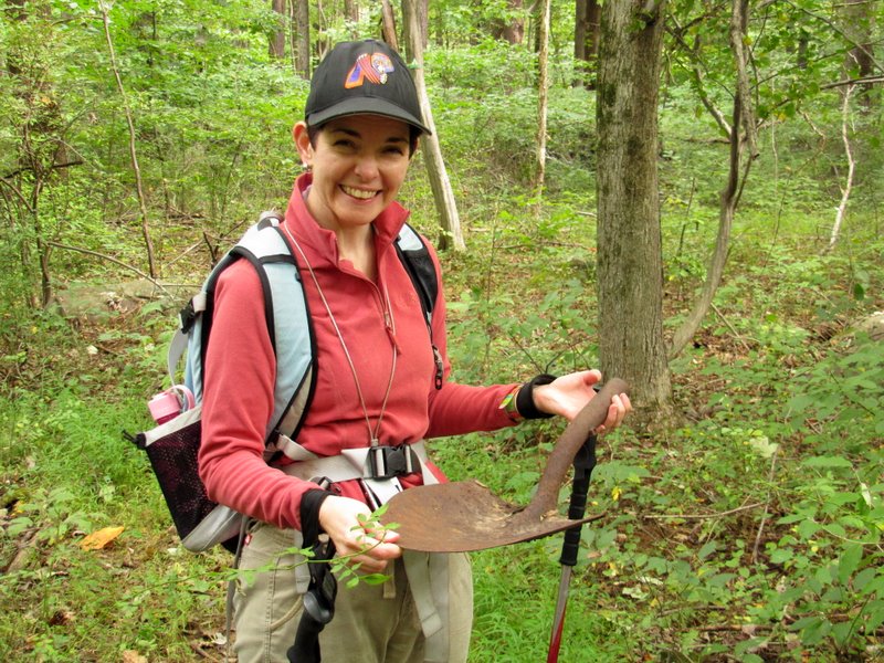 Laura found a shovel |
 |
 |
 Mountain Church Road |
 Back into the preserve |
 Old tree [photo by Laura] |
 Still on Green |
 Very rocky here |
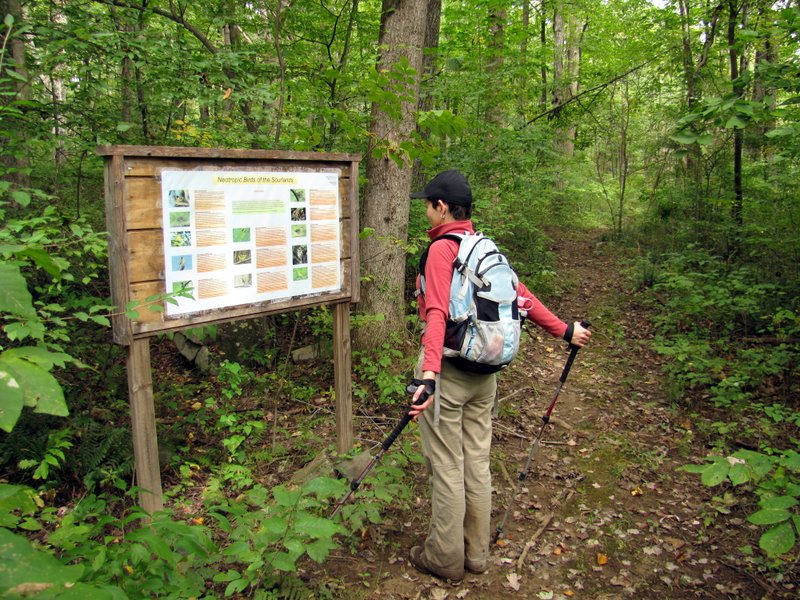 Very informative bird sign |
 Huge blow-down |
 Interesting rock growth |
 Shagbark Hickory |
 Boardwalks |
 |
 |
 Support rail for creek crossing! |
 |
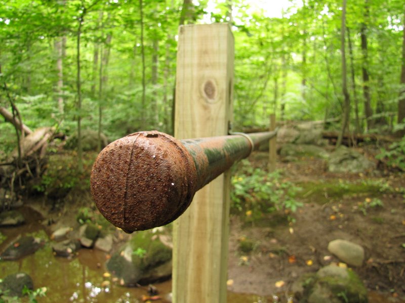
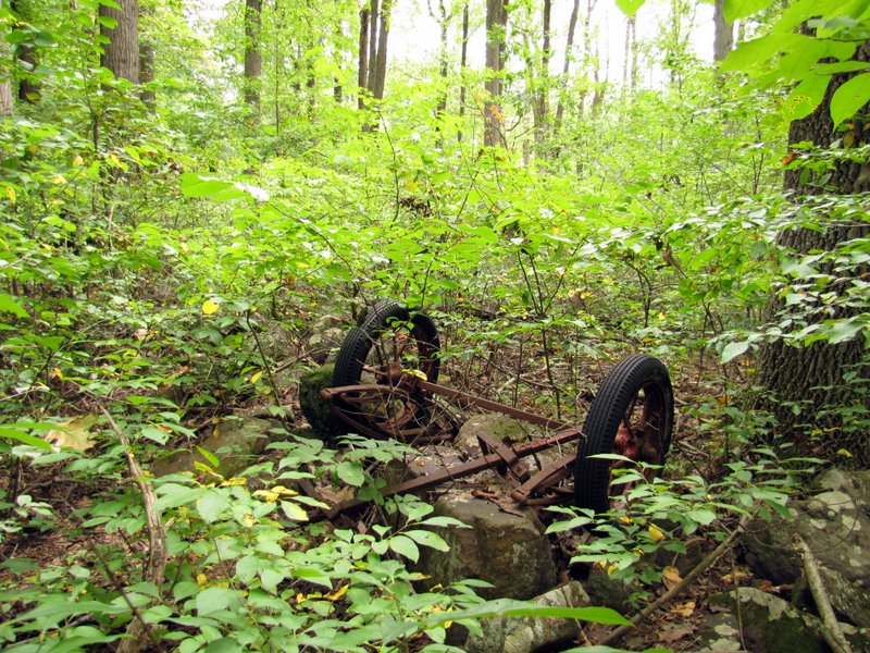 Abandoned farm equipment? |

|
|
Photographs and content copyright © Dan Balogh Web design by Dan Balogh |