 |
|
Today's hike was a lollipop of my own invention. I've always been intrigued by the two viewpoint "stars" on the NYNJTC map for Southern Harriman on a hill called
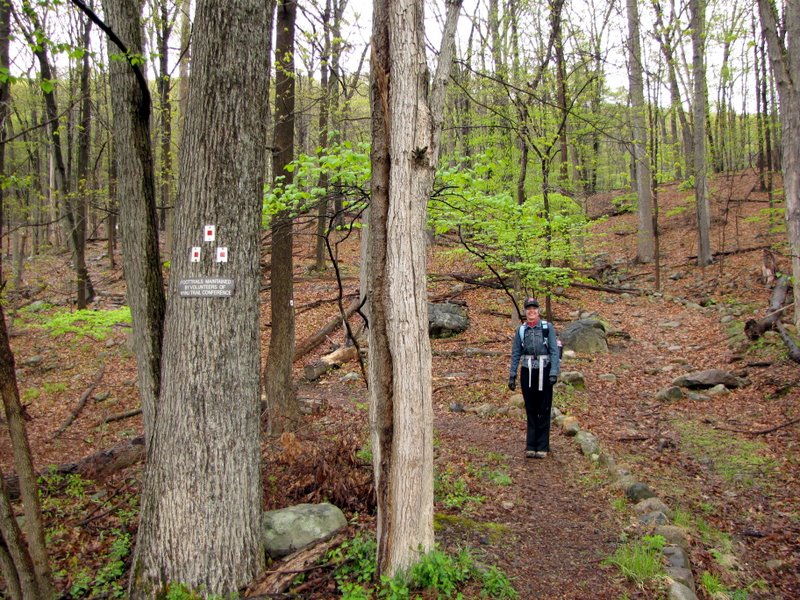
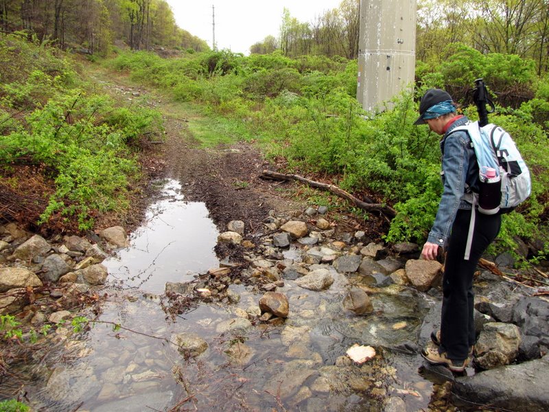
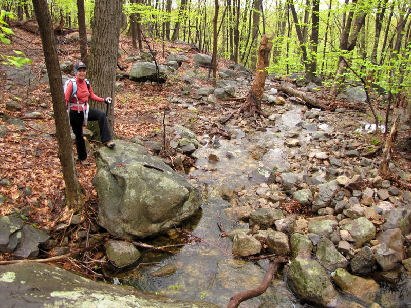
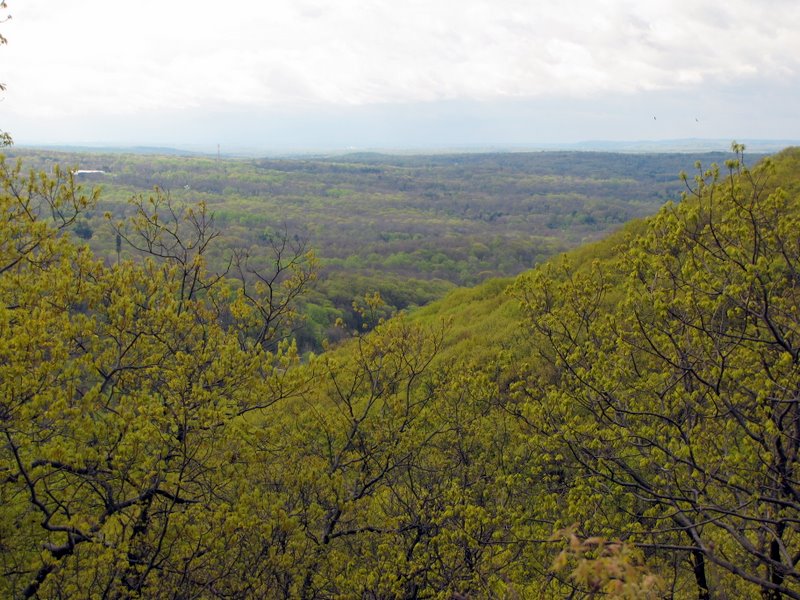
Panther Mountain. So today we headed there, parking in the lot of the Ramapo Equestrian Center. It was raining when we started out at the trailhead of the
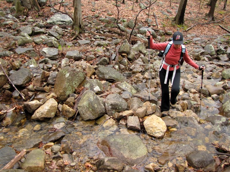
Pine Meadow trail, which actually begins behind one of the horse pens. This we took to the Suffern-Bear Mountain trail, making a right, and reaching those two
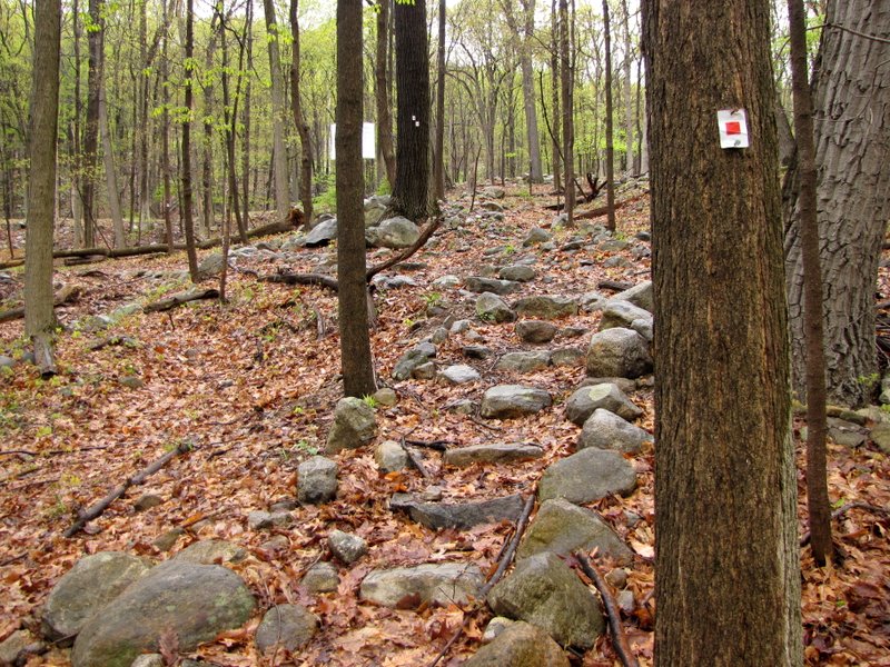
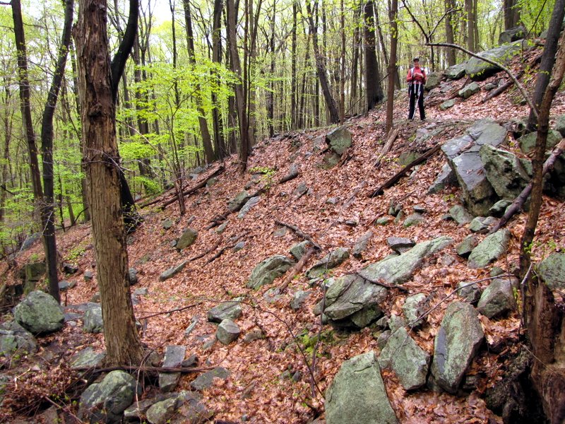
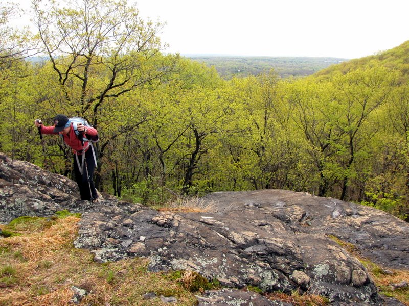
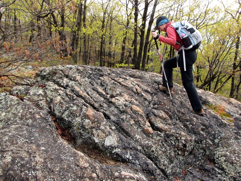
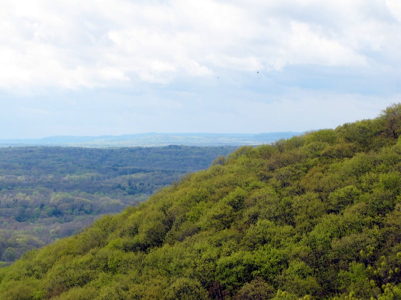
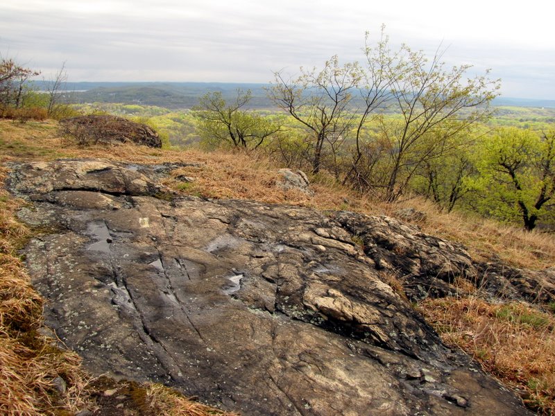
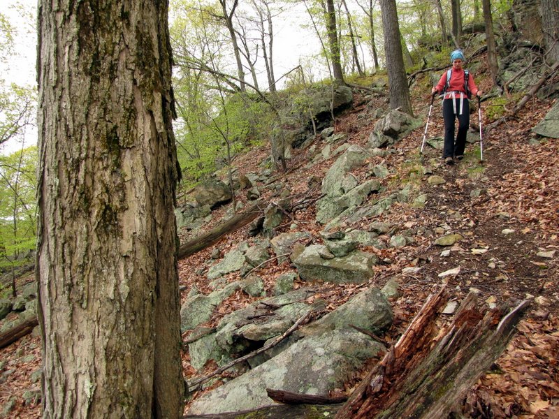
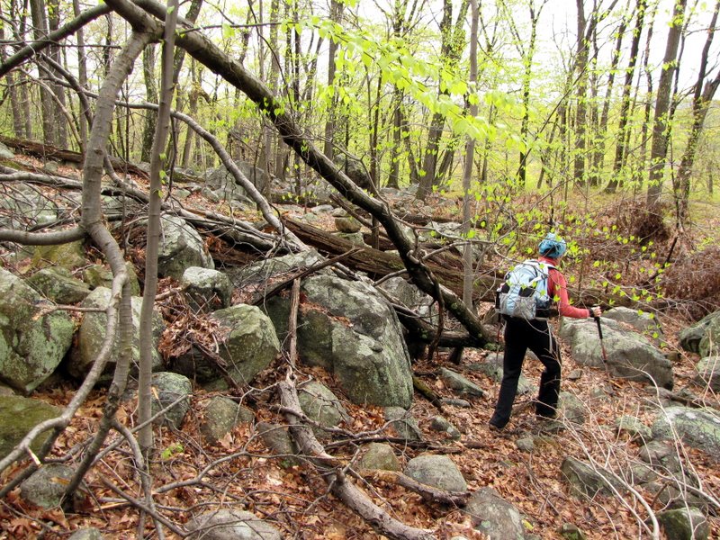
terrific viewpoints after a bit of climbing. After the second viewpoint, we made a right onto an ill-defined path (the map marks it as a woods road, but it's
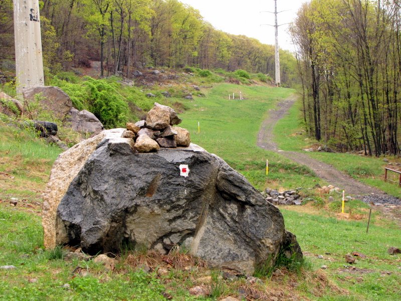
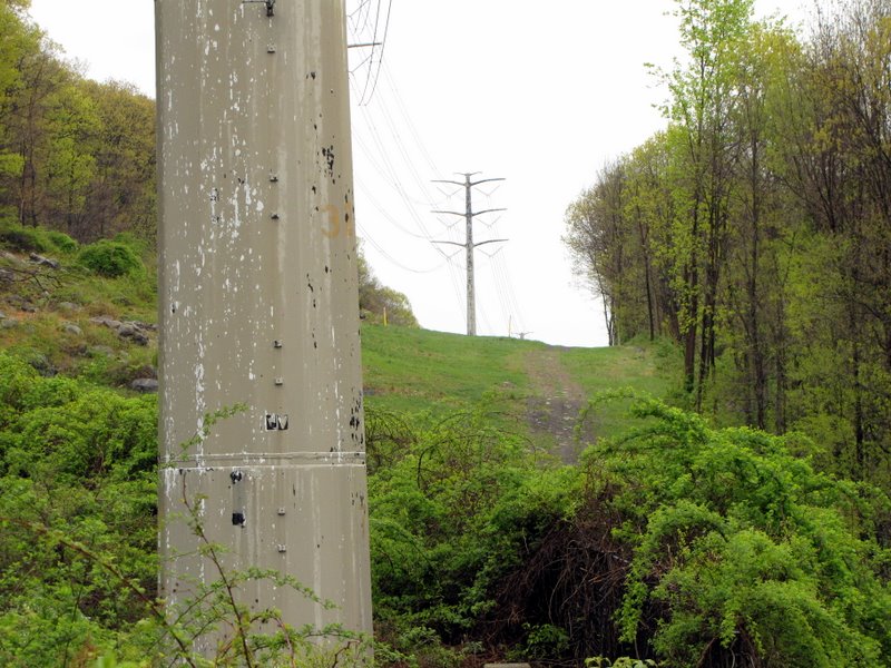
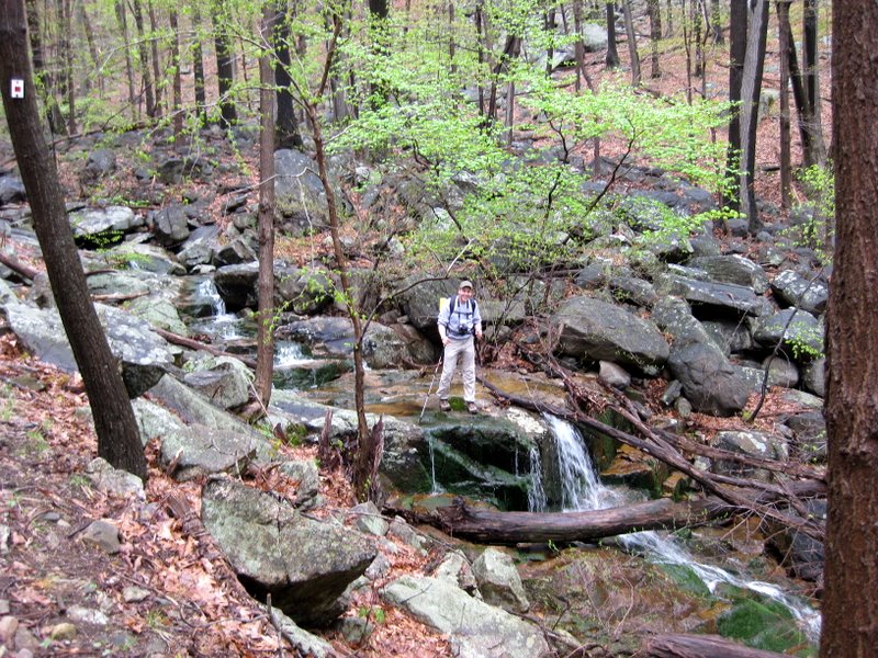
more like an unmaintained trail, if that) which headed down back to the powerline and gasline cut. Forunately there were cairns to guide us on this stretch. It would have
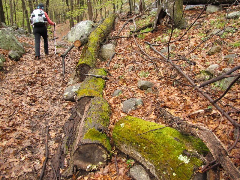
been much more difficult without them. And there were at least two places where huge blow-downs further obscured the path, but the cairns were still visible
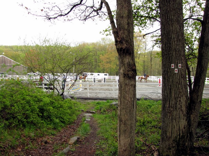
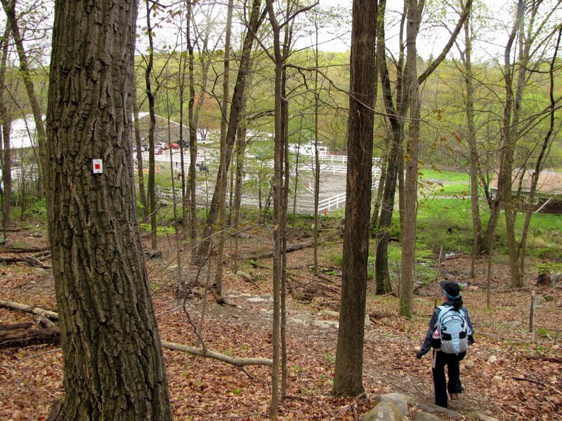
in the midst of the storm damage. Once we reached the powerline cut, near the Dilitz Road parking area, we made a right and headed back west to the horse stables.
Total distance hiked today was probably about 3 or 3.5 miles (my pedometer's battery ran out). It took us about 2 hours, and there was a fair amount of climbing during the first half, but it was all downhill (and fast) during the second half. (Click on the thumbnail to bring up a bigger image in a pop-up window)
|
 The trailhead |
 Right behind the horses |
 |
 A small uphill |
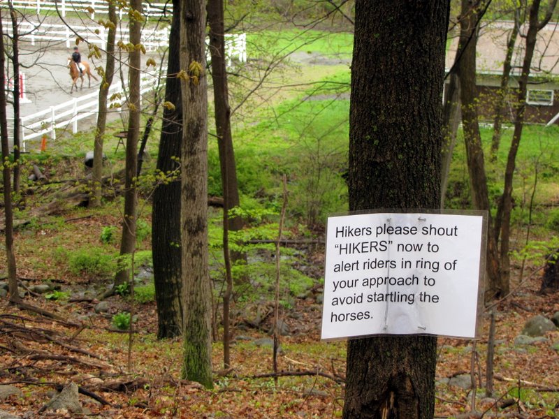 We shouted on the way back |
 Entering the powerline cut |
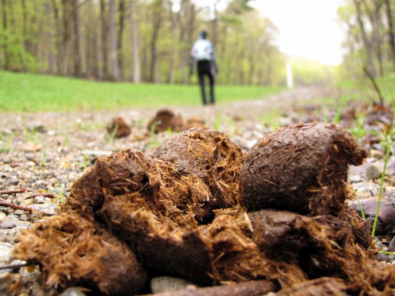 It's a bridal path! |
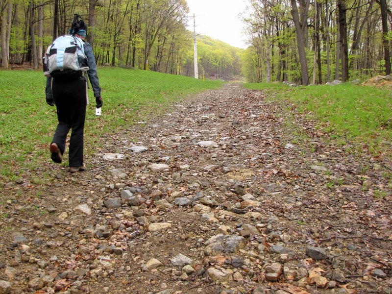 Heading east |
 |
 |
 Path was wet |
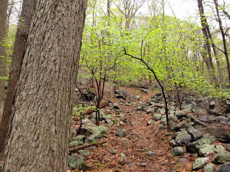
 Into the woods |
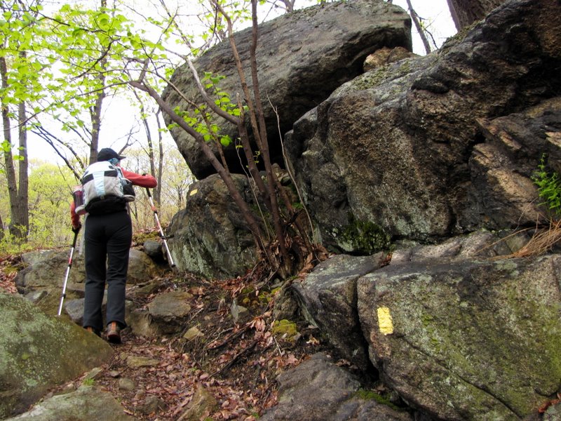
 A steady uphill climb |
 [Photo by Laura] |
 |
 Slippery in spots |
 |
 [Photo by Laura] |
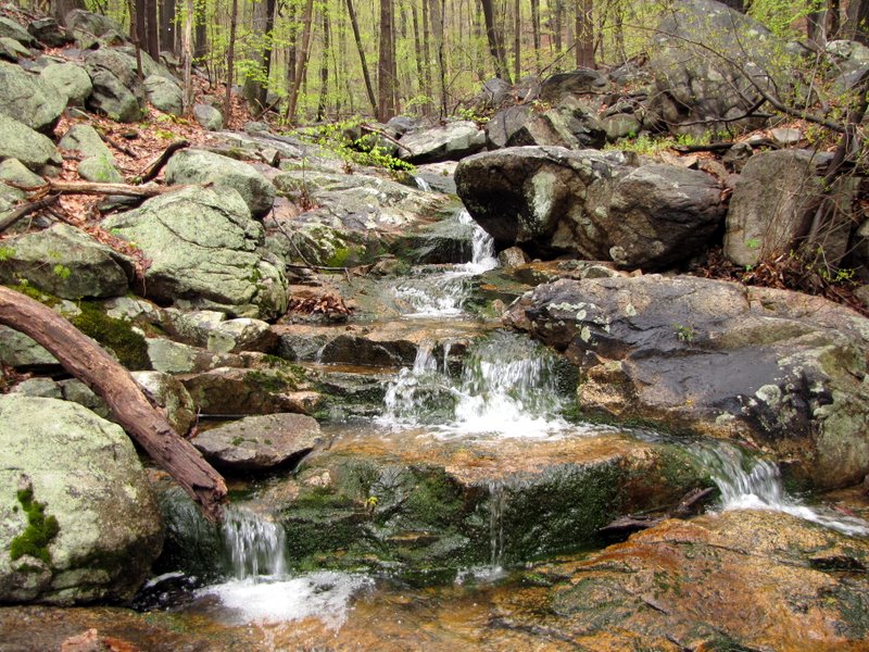 More cascades |
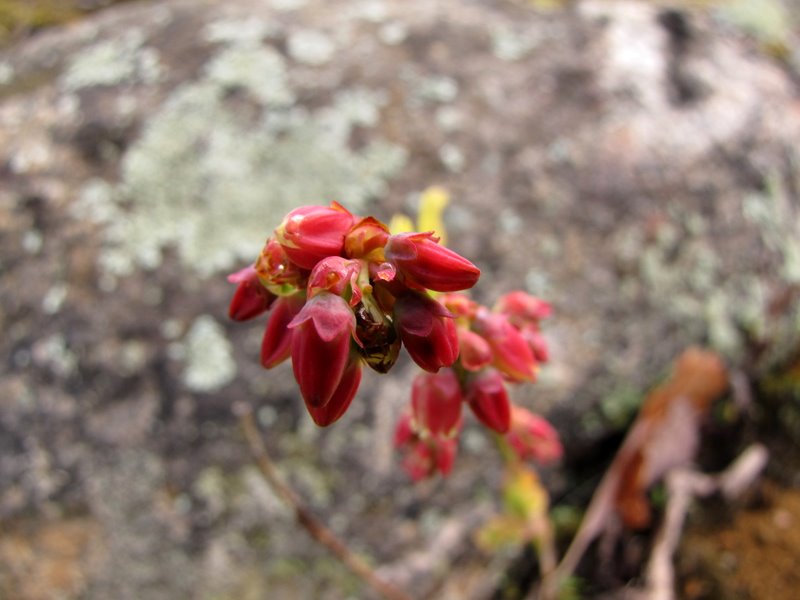
 The woods are blooming |
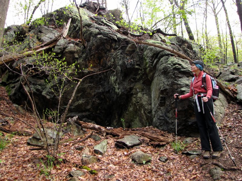
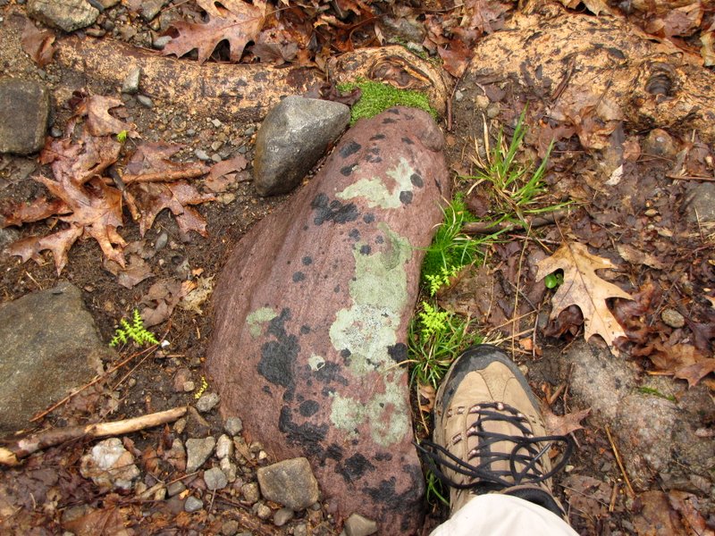 Puddingstone |
 |
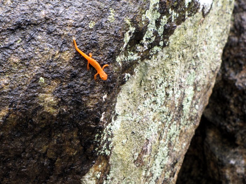 Baby eft |
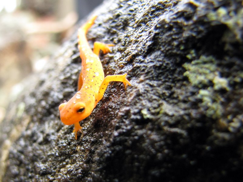 Eft close up |
 |
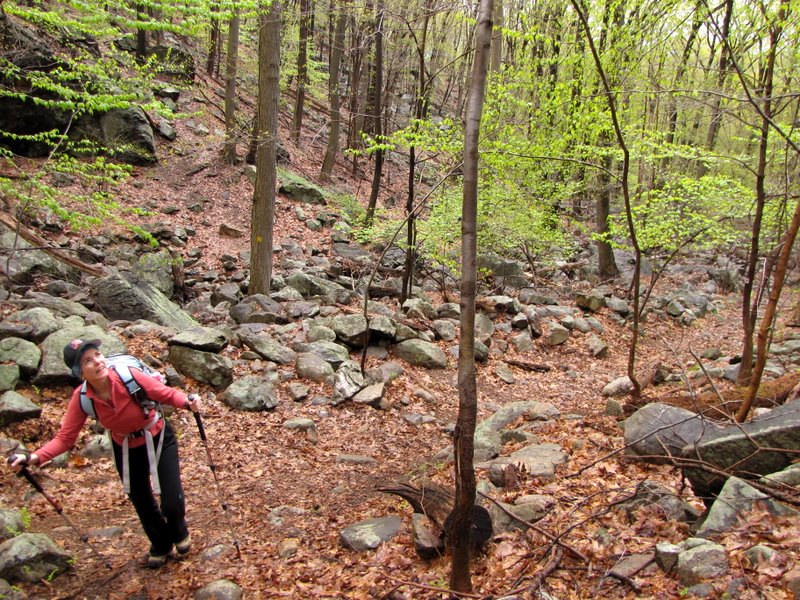
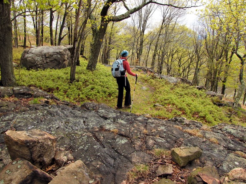
 Steeper uphill |
 First partial view |
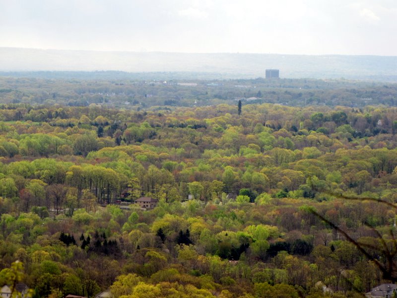
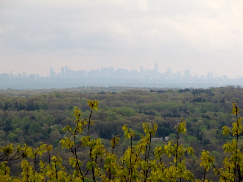 Manhattan skyline |
 |
 Slippery after the rains |
 View SW |
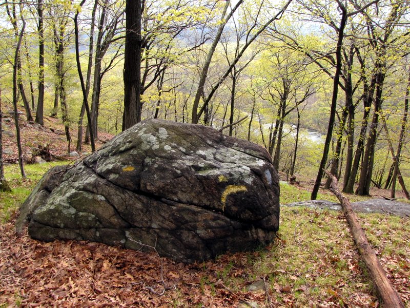
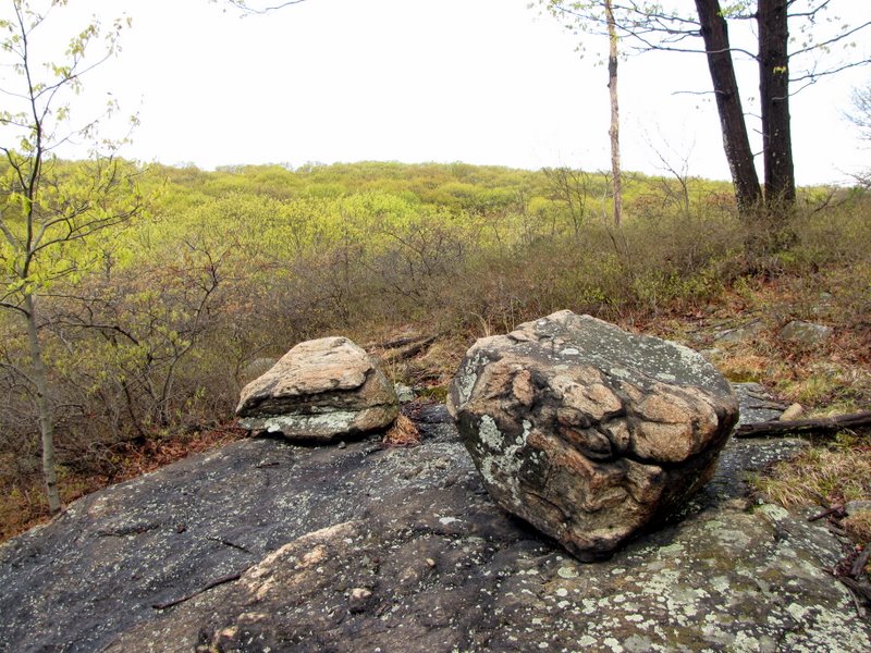 Beautiful glacial errata |
 |
 View north |
 More uphill |
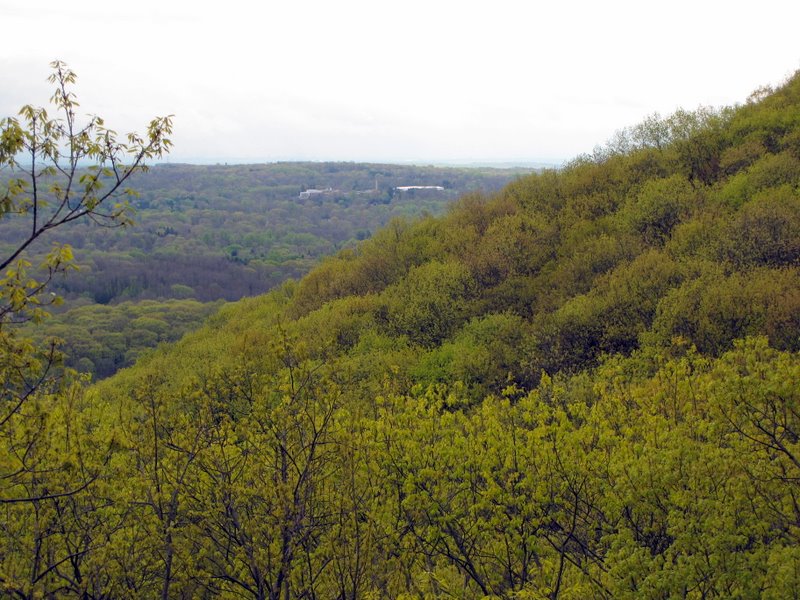
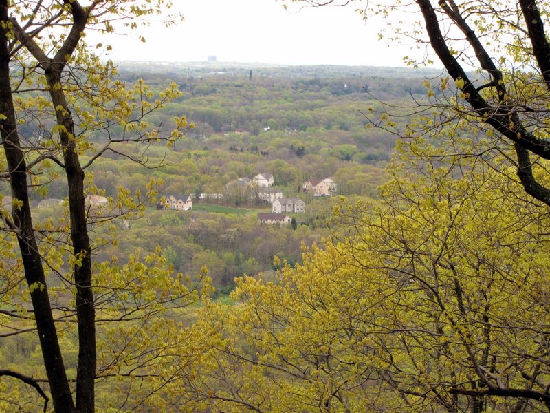
 More expansive view |
 View SW from first viewpoint |
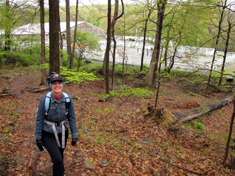
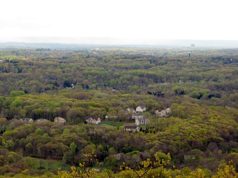
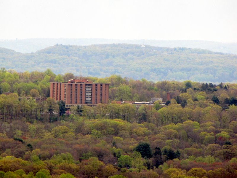
 Horse stables from above |
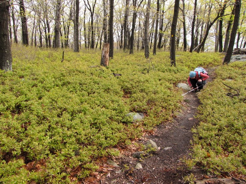 Blueberry bushes |
 |
 |
 |
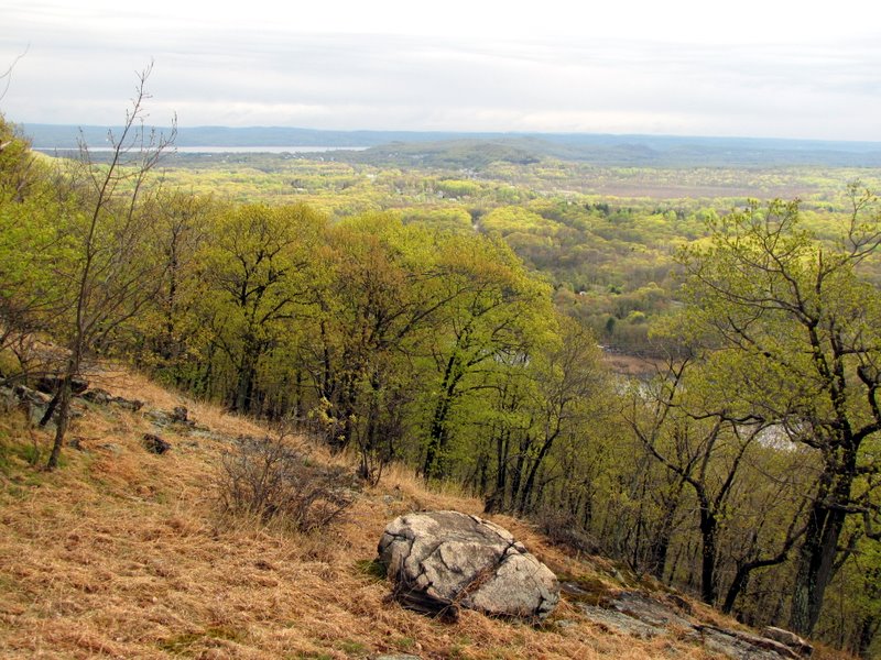
 View south |
 View NE |
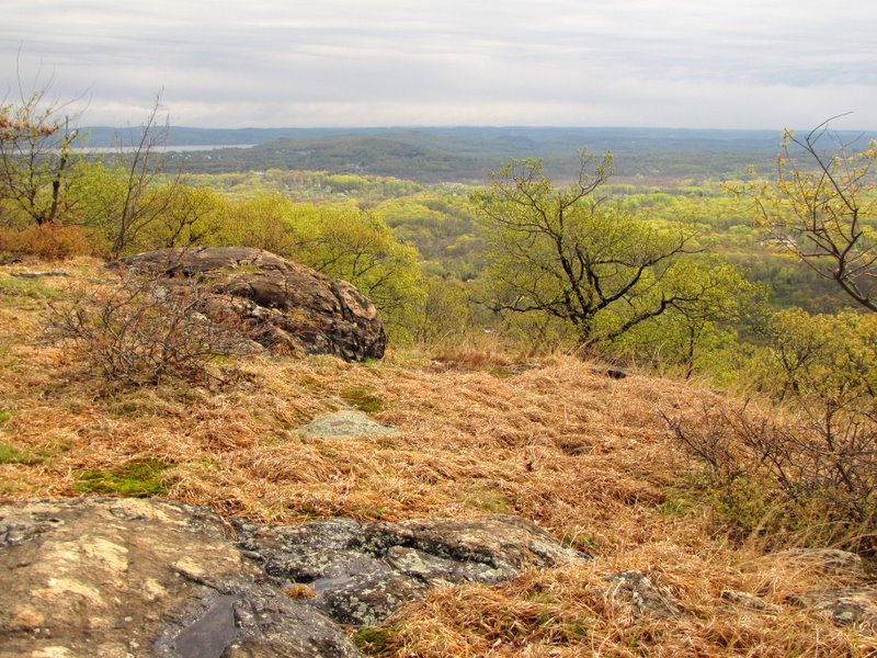 |
 Hudson River in rear |
 |
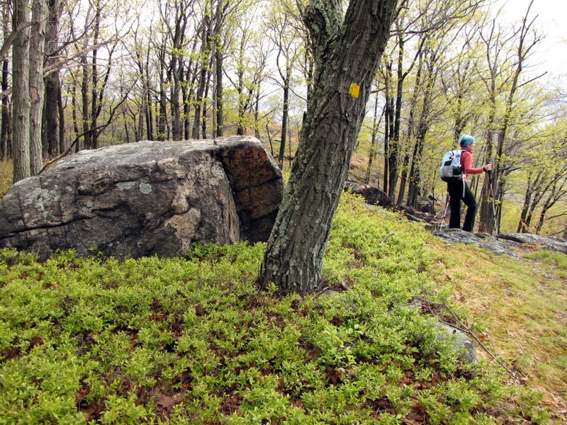
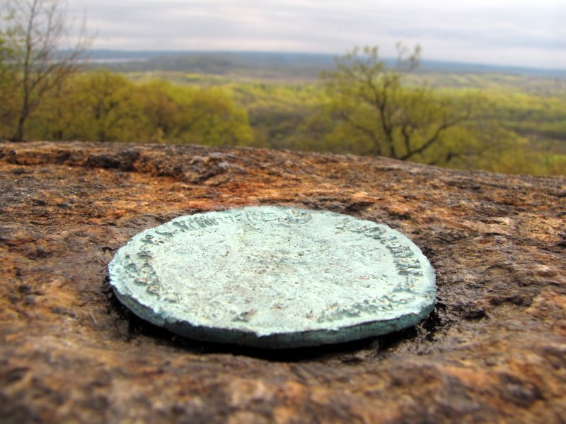 Marker on Panther Mountain |
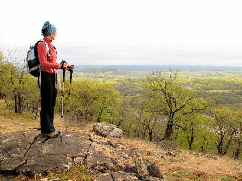
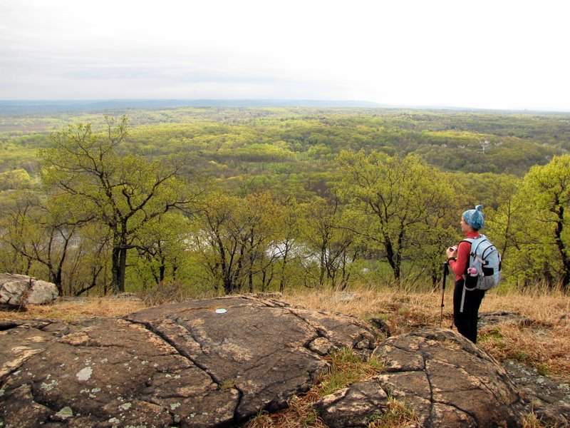 Expansive view south |
 |
 |
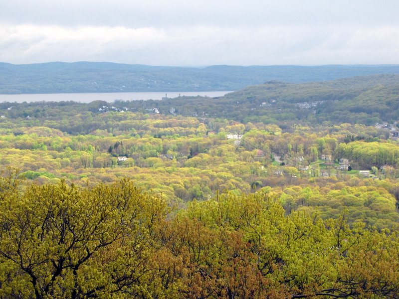 Hudson River |
 |
 |
 Looking back towards peak |
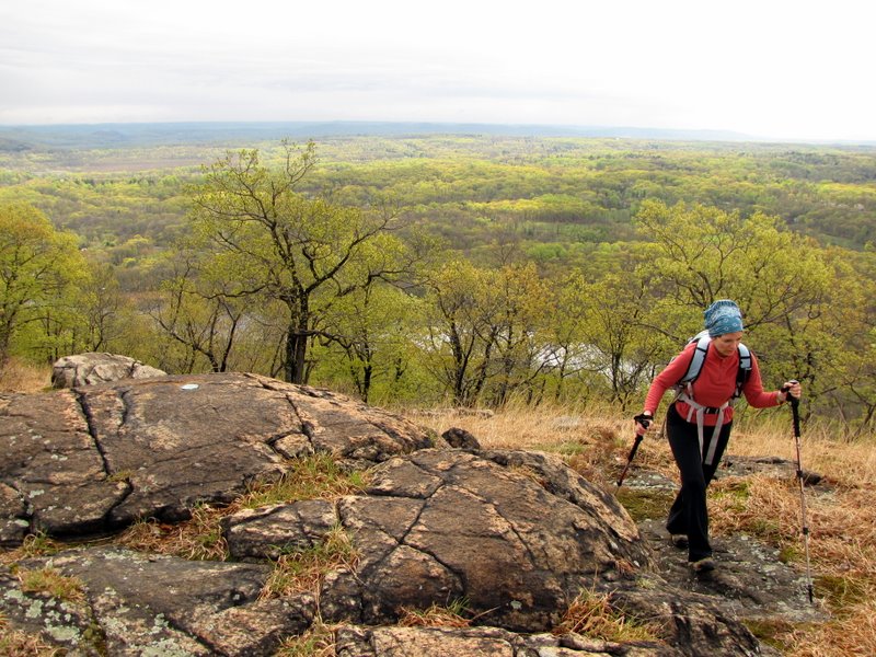
 Heading downhill |
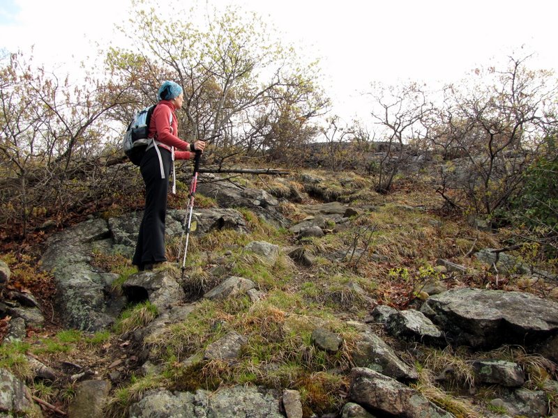
 On unmaintained trail |
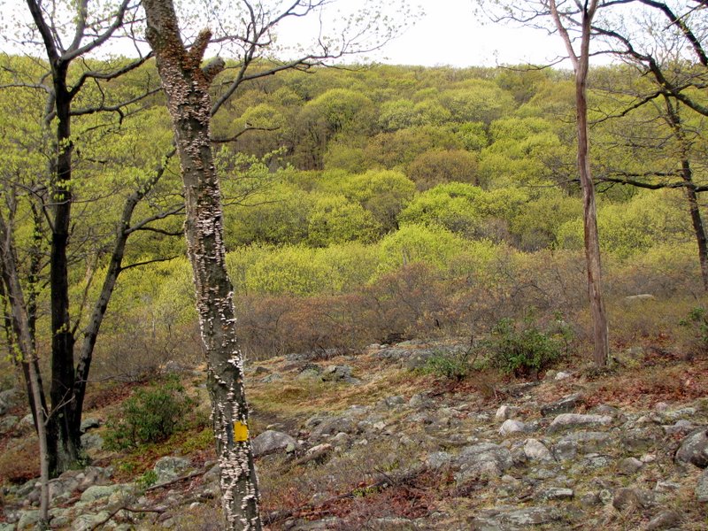
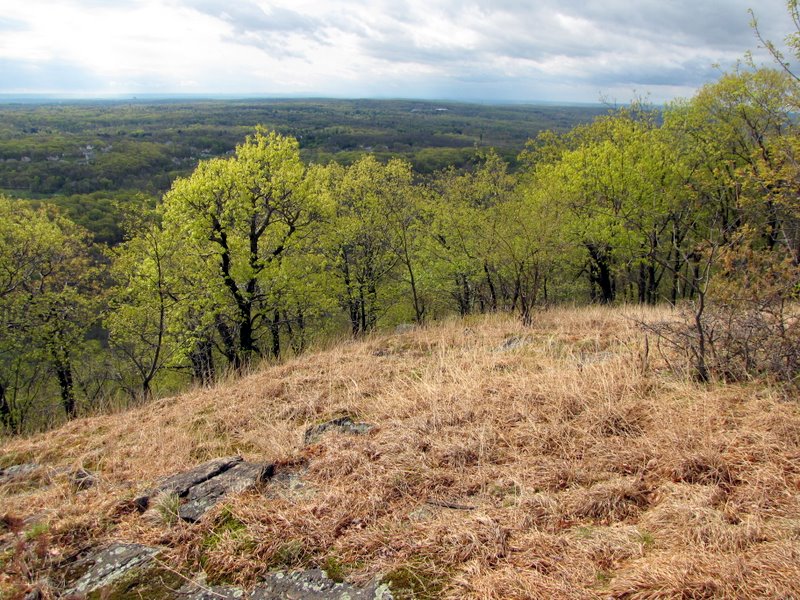
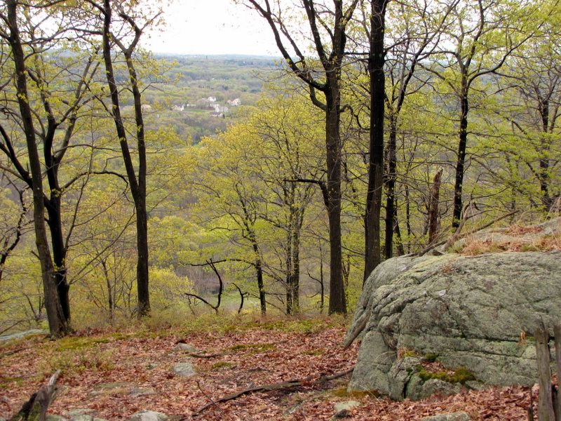
 Limited views |
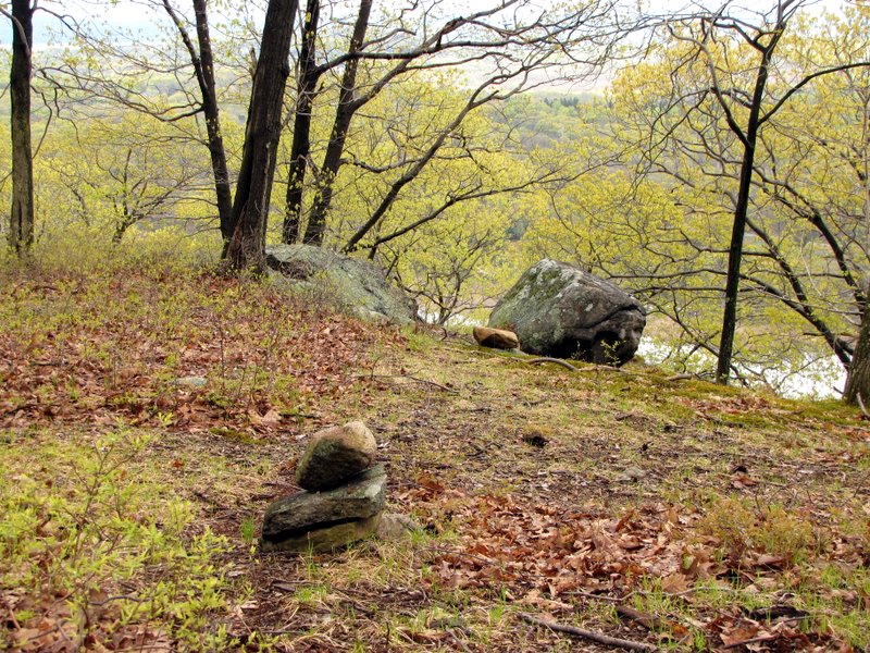 Cairns mark the way |
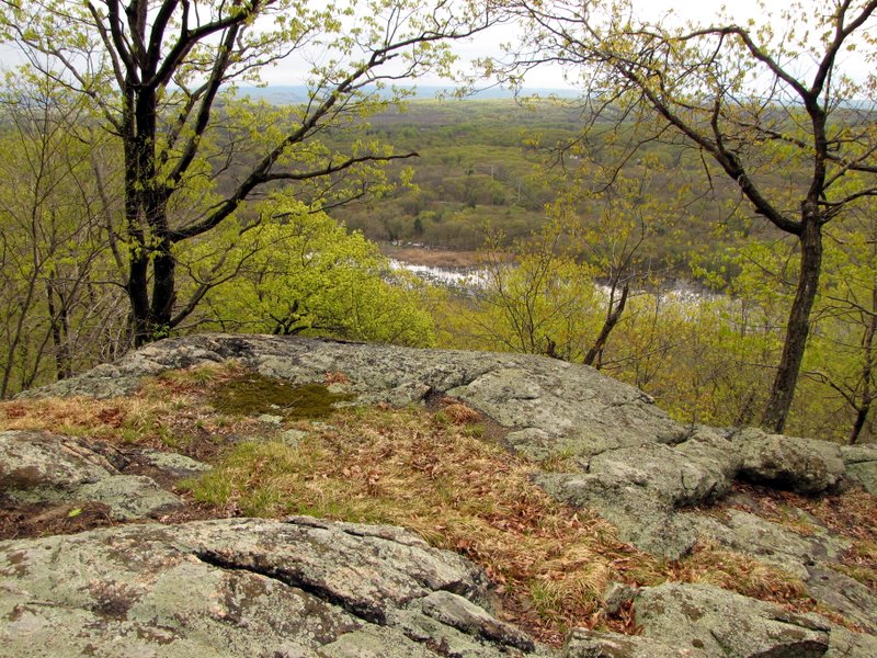 Mahwah River below |
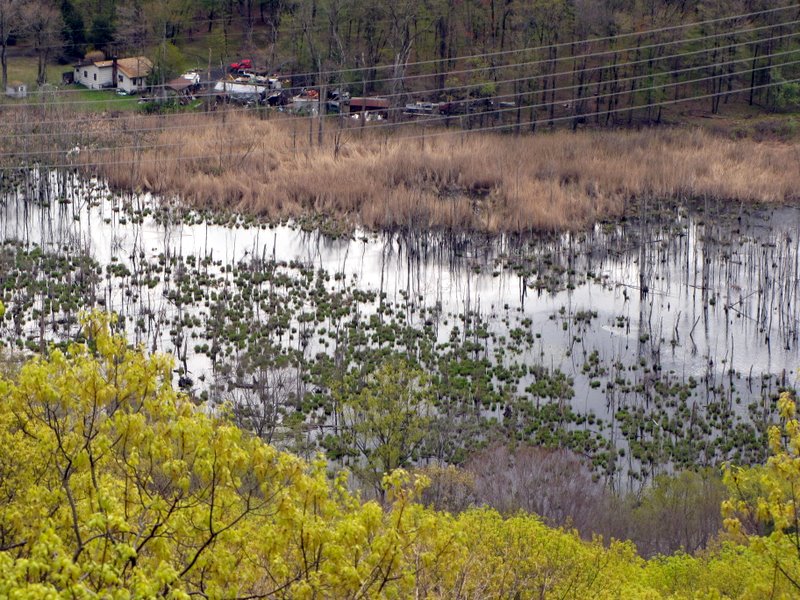 Mahwah River |
 View south |
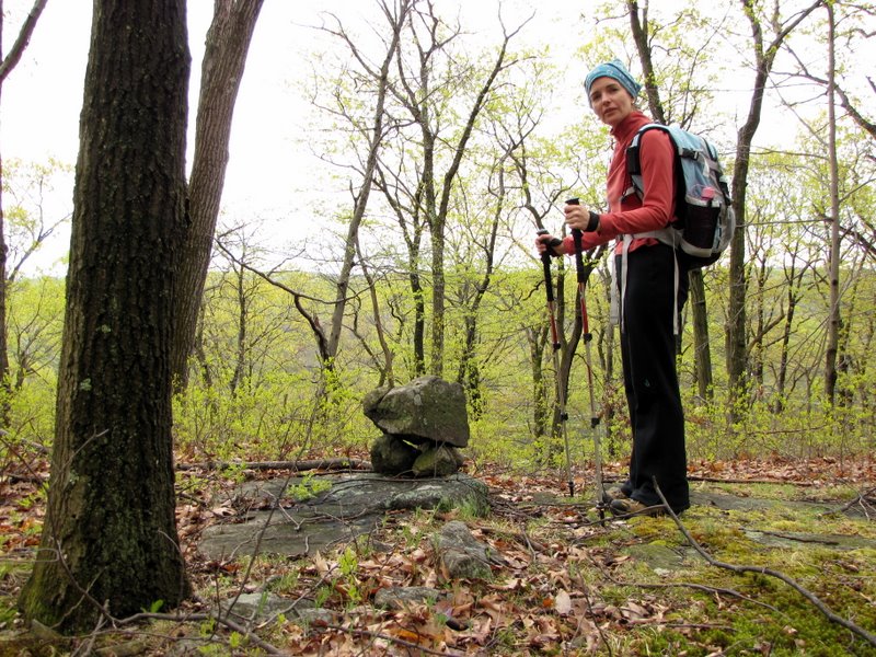
 Cairn |
 Downhill |
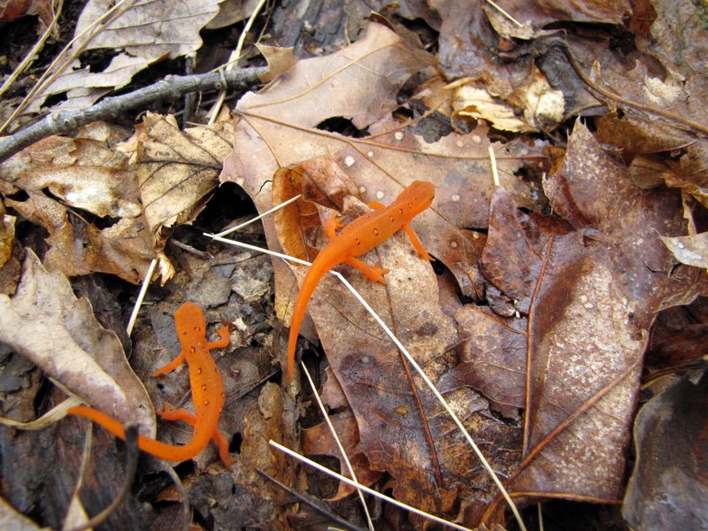 More efts |
 Blow-down obstructs path |
 Another cairn marks it |
 Storm damage |
 Powerline cut visible |
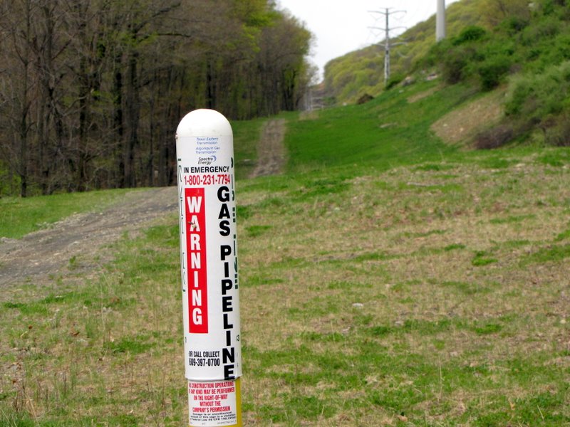 Gasline marker |
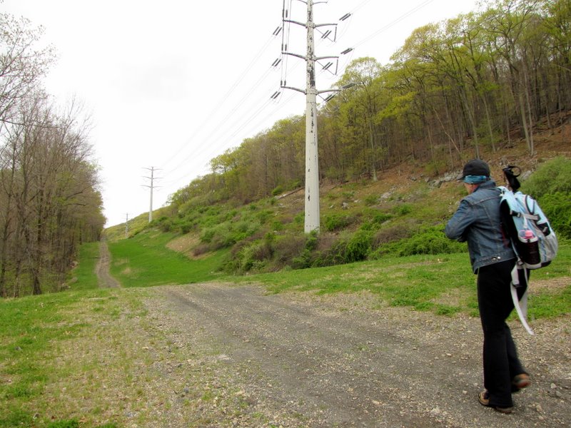 Heading west |
 |
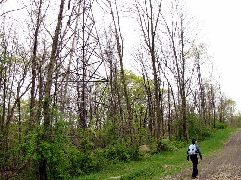 Old tower |
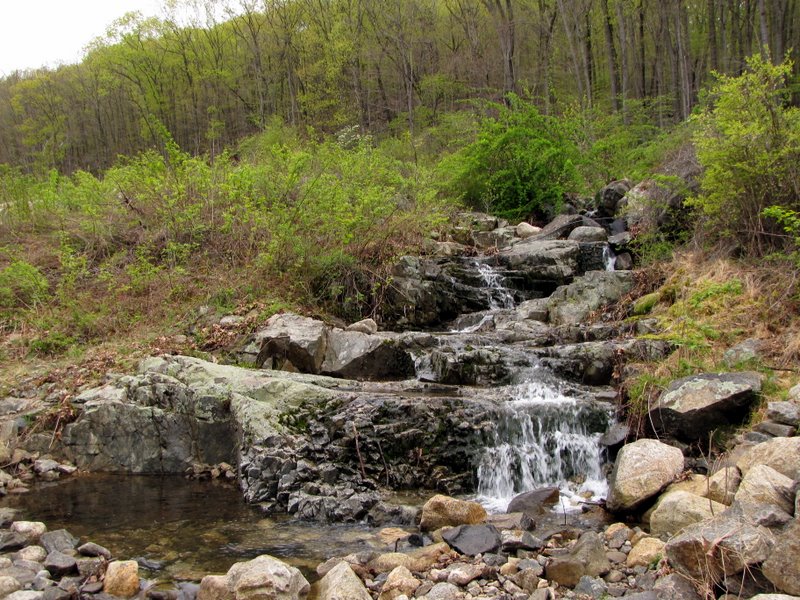 Cascades in the cut |
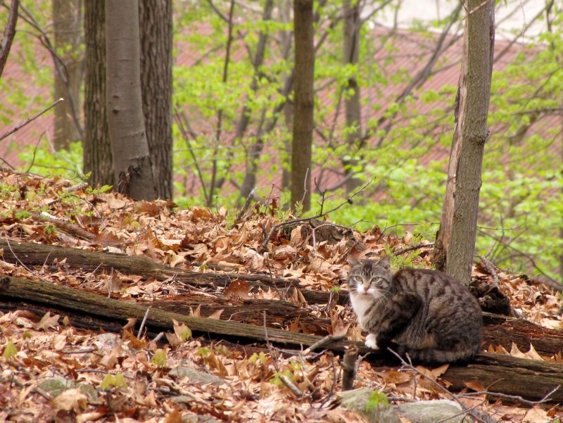 Kitty near the stables |
 Back to the car, shouting "Hiker" |

|
|
Photographs and content copyright © Dan Balogh Web design by Dan Balogh |