 |
|
The was our fifth consecutive hike in Sterling Forest, and the second in a row where our plans were flummoxed due to the trail being totally flooded!
Two weeks ago we hiked a few miles in snow at least 8" deep. Today there wasn't a patch of snow to be seen anywhere. It was all washed away by the
rains and high temperatures of the past two weeks. But it made for a wet hike, on a swamp trail that is probably wet even in dry season.
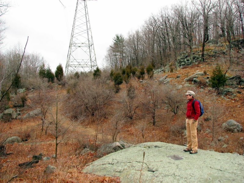
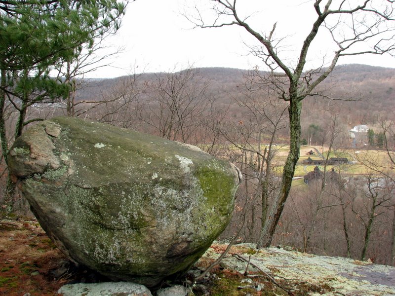
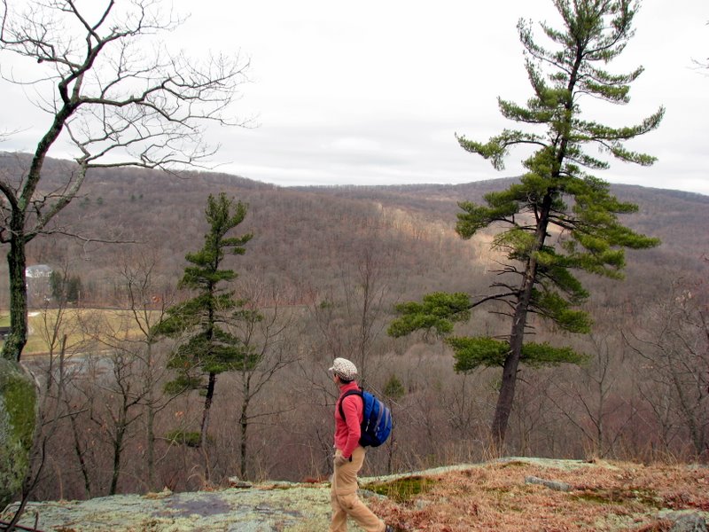
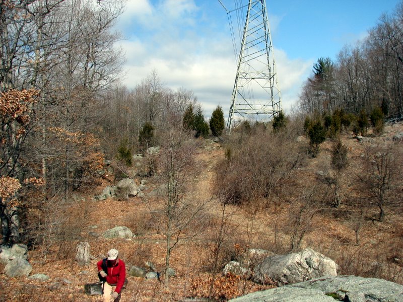
This entire hike is along the orange-blazed Long Swamp Loop. Starting at its trailhead on Eagle Valley Road, we climbed the hill under the power line and reached a t-intersection (where at the loop actually begins) at a giant fenced-in mine pit. We turned left here, intending to take the loop in a clockwise direction, but at the southern part, the trail was totally flooded at the swamp line. No amount of bushwhacking yielded a navigable path. So we turned around and proceeded in a counter clockwise direction. We decided to take the path to near its southwest tip, making a sharp right onto an unblazed path to the ridge of Pine Hill. The walk along this ridge had spectacular views on both sides, none of which are indicated by stars on the NYNJTC Sterling Forest map 100. We hiked along the ridge until the path began to descend, at which point we turned around and retraced our steps on the Long Swamp trail back to the car in a clockwise direction (we could have attempted completing the loop but figured we'd be unable to complete the loop at the flooded point at the southern tip). (Click on the thumbnail to bring up a bigger image in a pop-up window)
|
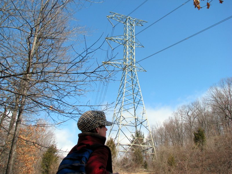
 Starting under the power line |
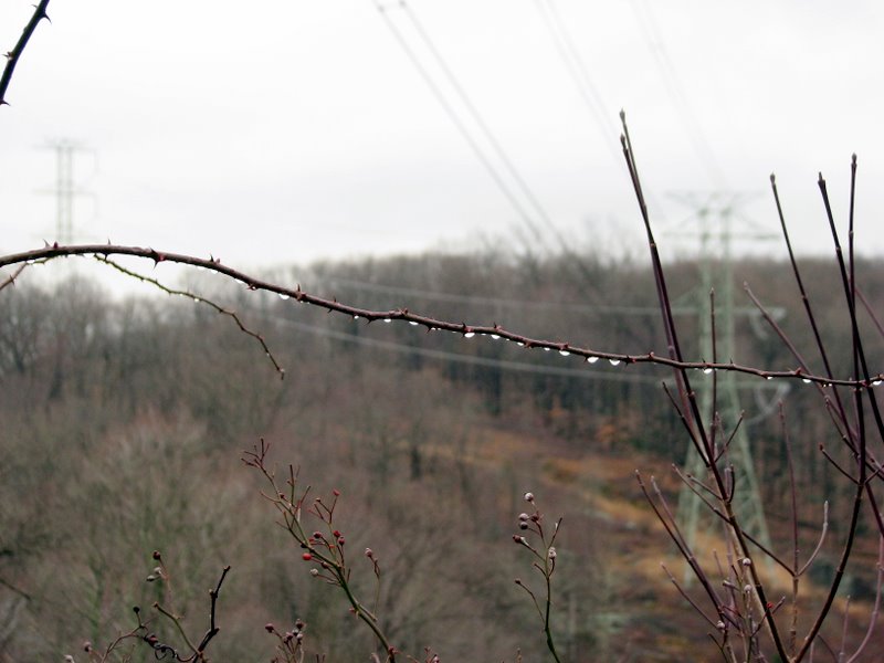 |
 View east of power lines |
 |
 Long Swamp trail blaze |
 |
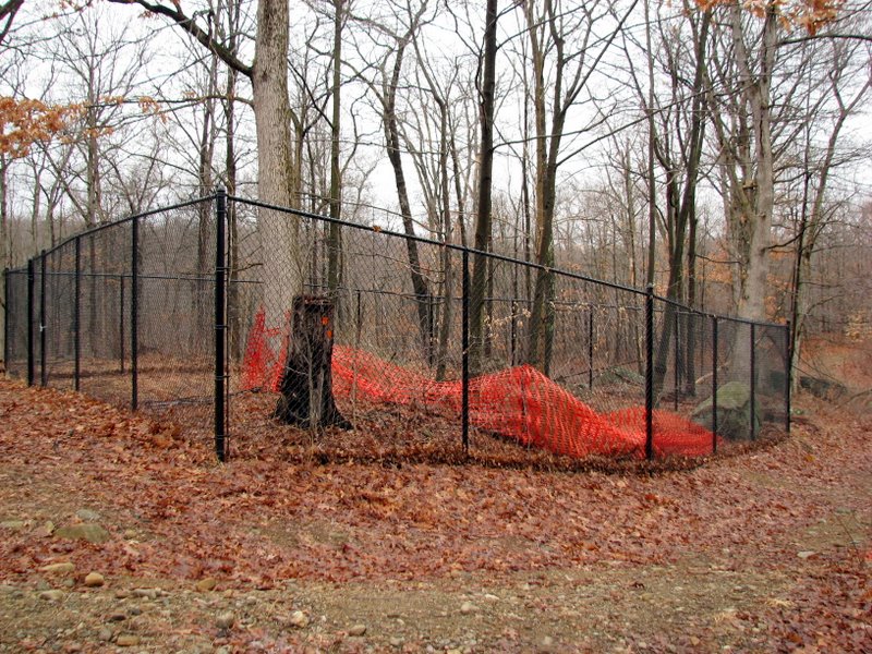 Huge mine pit fenced in |
 Shot through the fence |
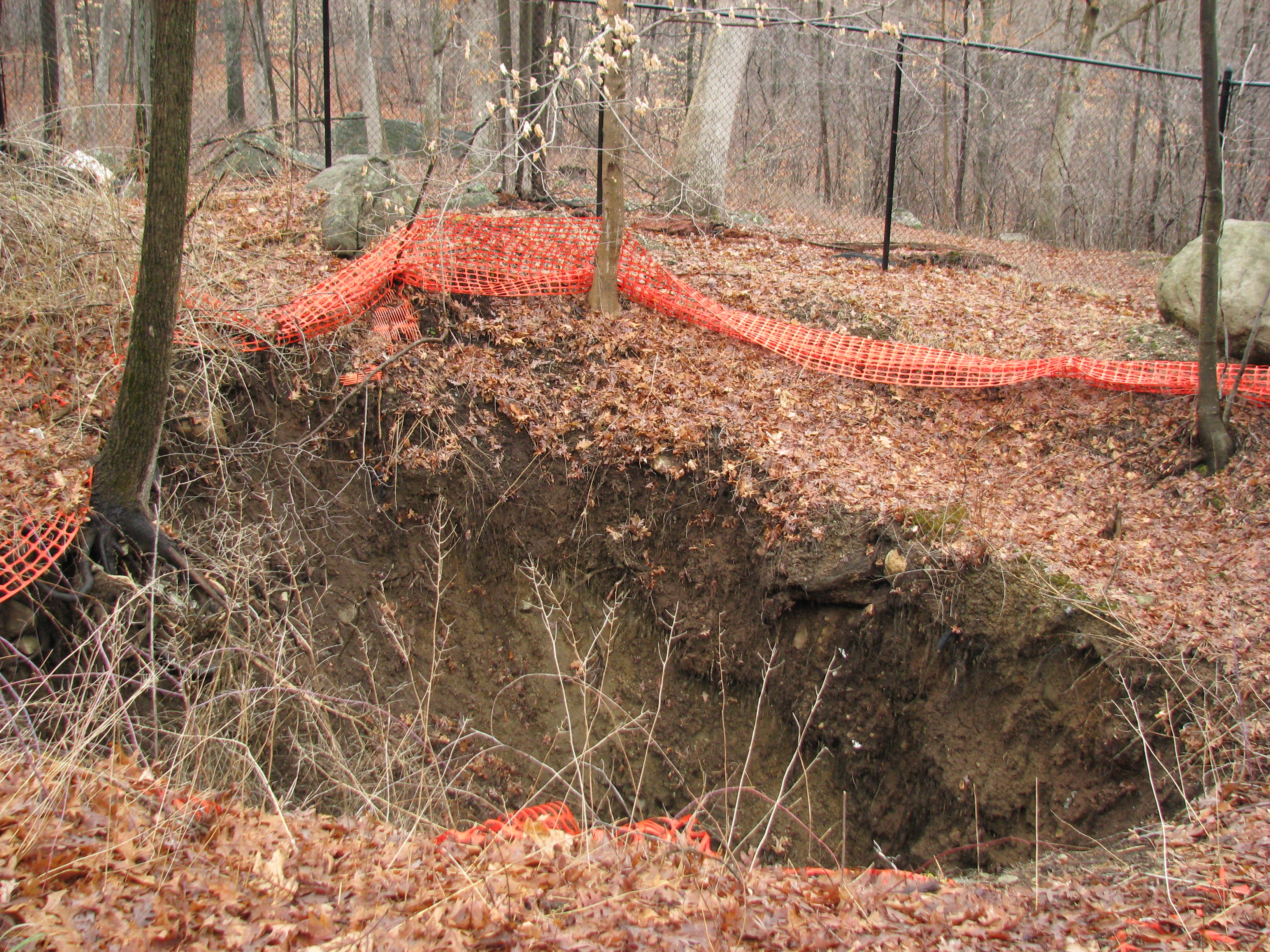
 Deep pit! |
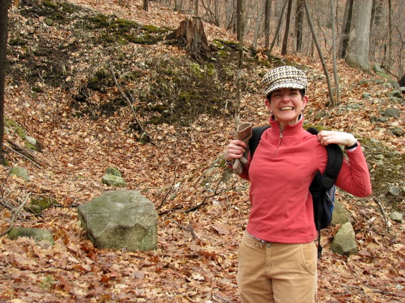
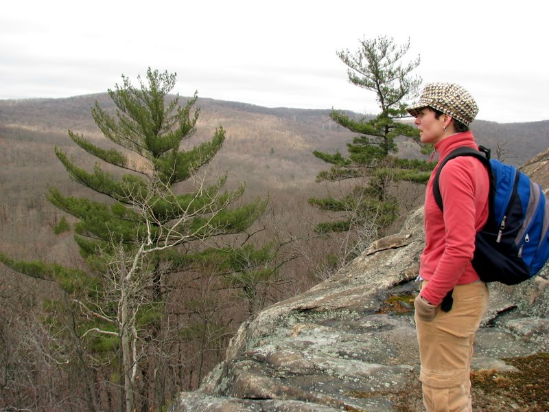
 Laura's new hat |
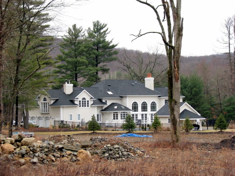 Huge mansion at southern tip |
 Mine tailings abound |
 We see the blaze but can't get to it! |
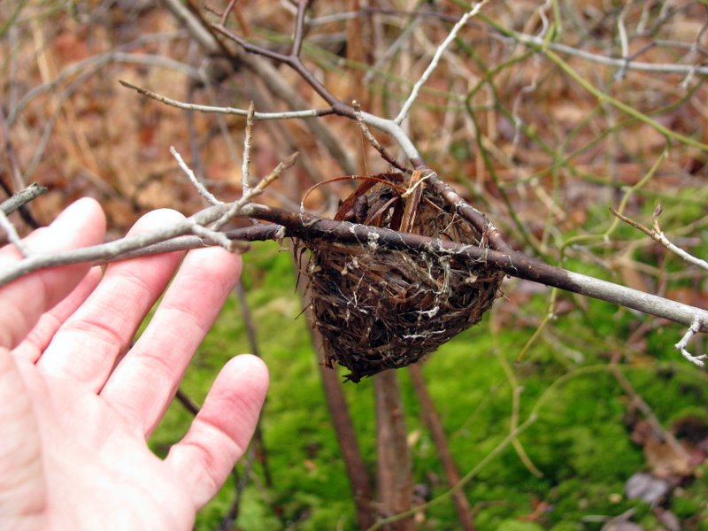 Tiny nest |
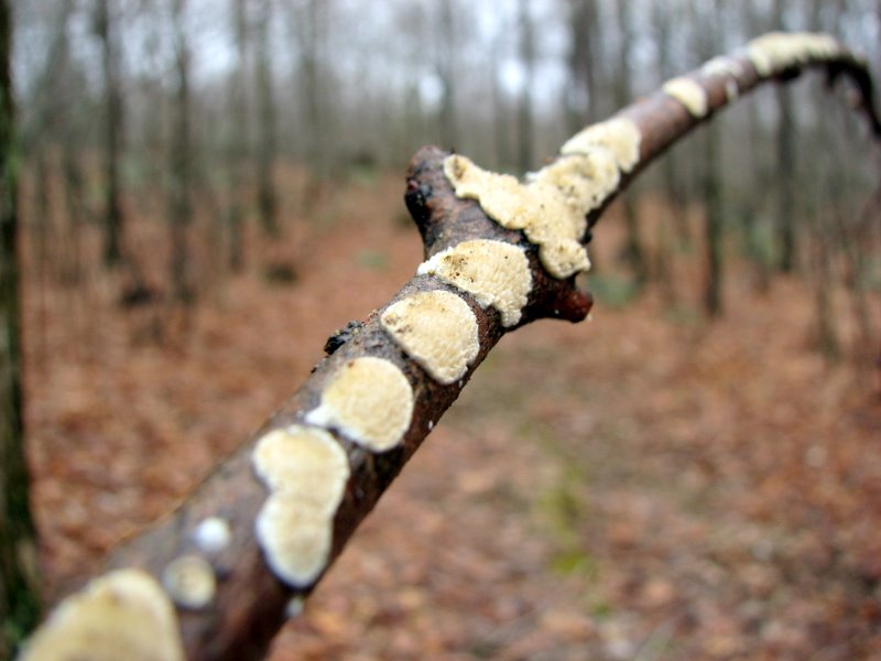
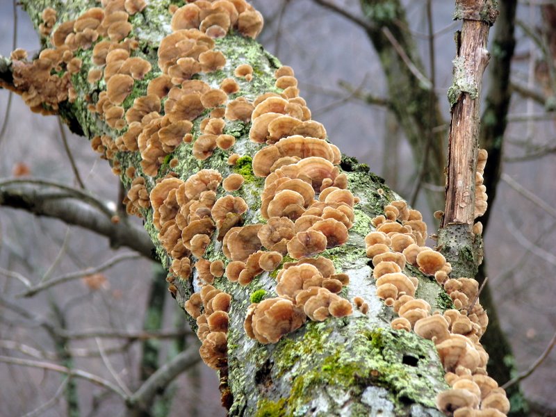
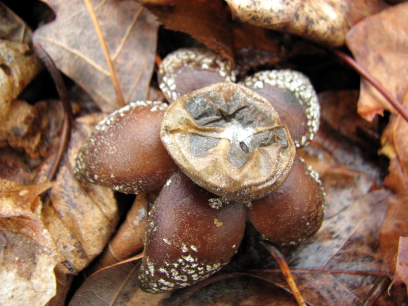 Beautiful mushroom |
 Exploratory pit off the trail |
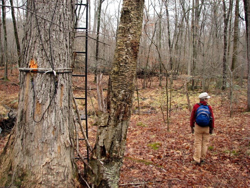
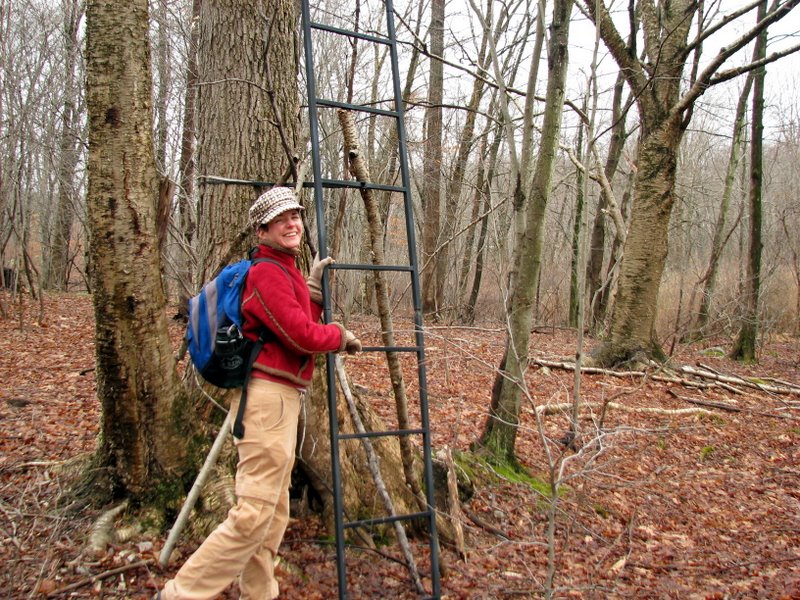 Ladder to hunter's seat |
 I couldn't resist [photo by Laura] |
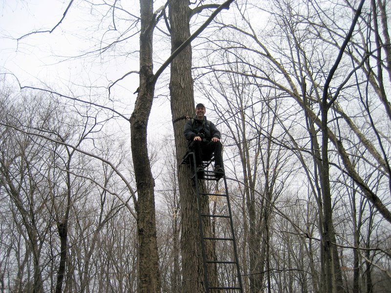 [photo by Laura] |
 View from the top |
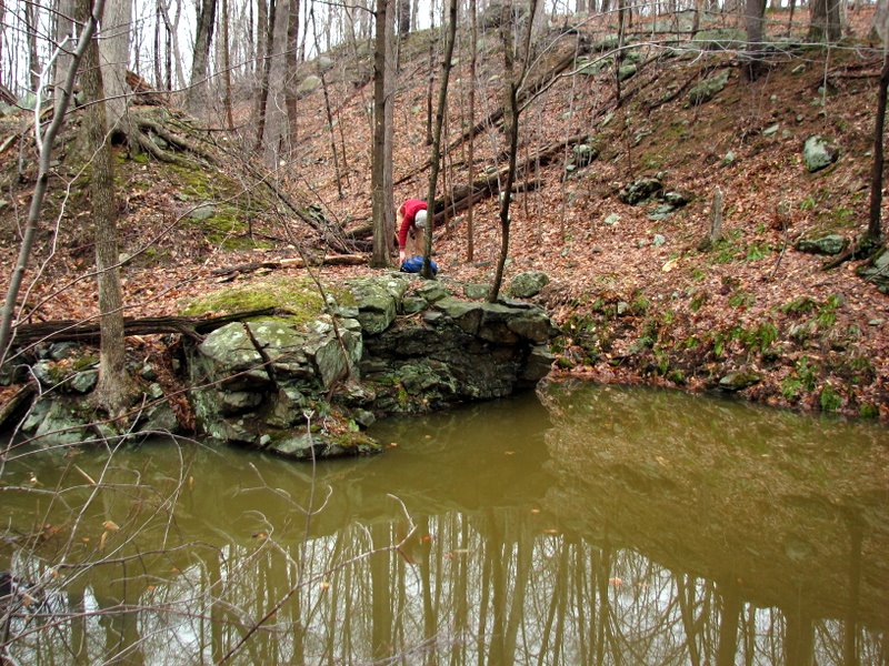
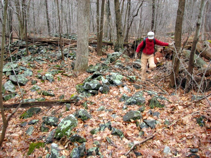
 Bushwhacking for a way to cross |
 Long pit of Bering Mine, just off the trail |
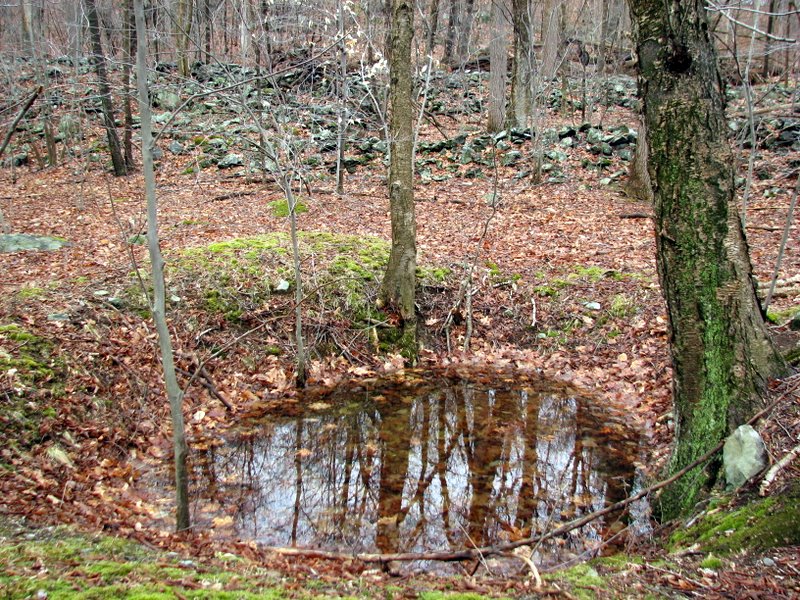
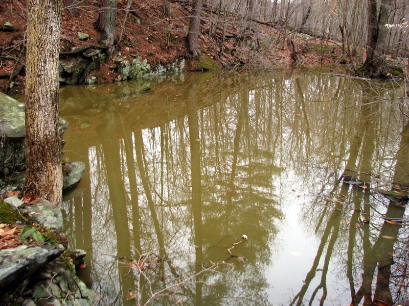 Totally filled with water |
 Laura at the northern tip |
 View of Bering Mine pit from on high |
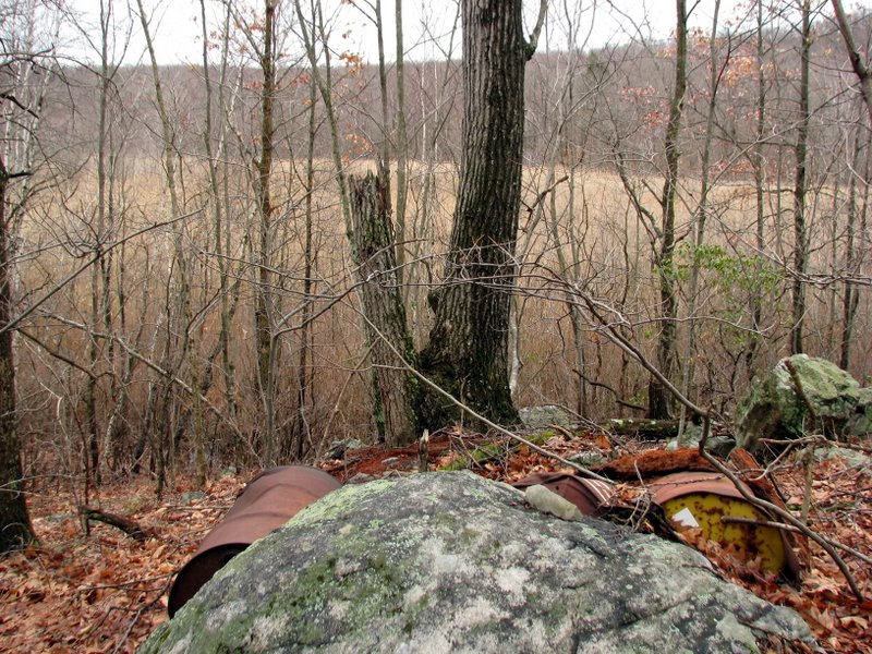
 Mine tailings |
 A car? |
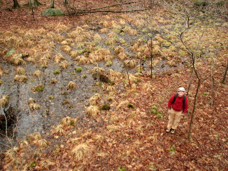
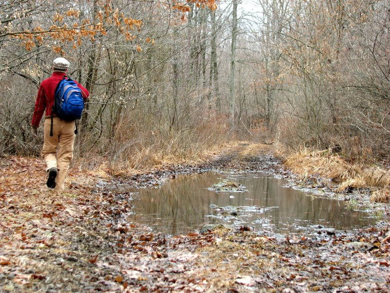 Path was very wet |
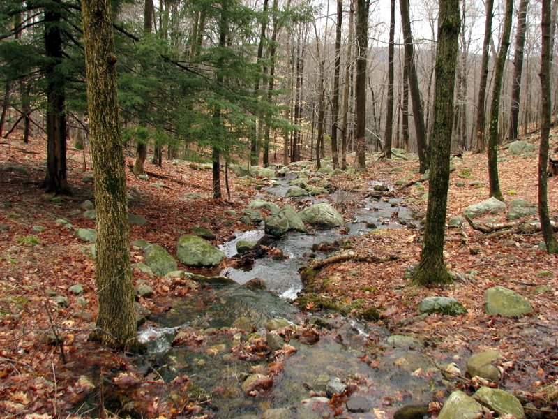
 Long Swamp through trees |
 |
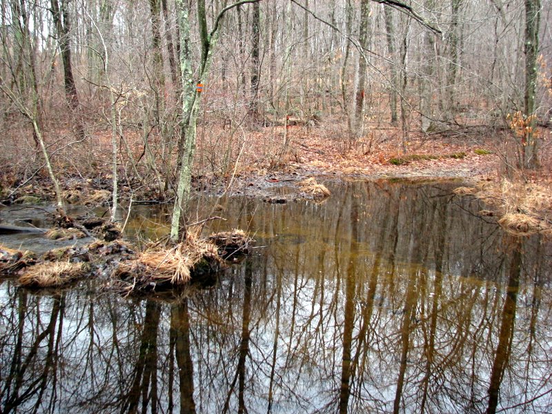
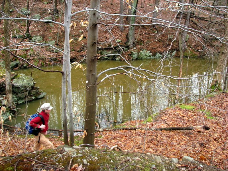
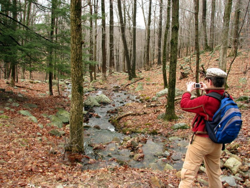 Photographing a stream |
 |
 Taking off a layer |
 |
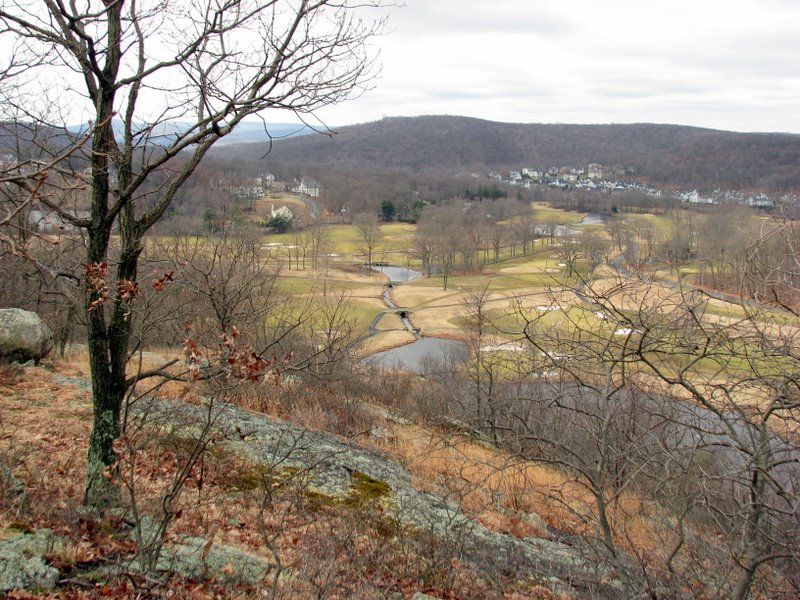
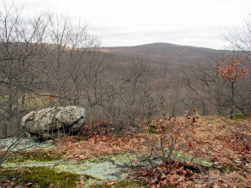 View west from Pine Hill |
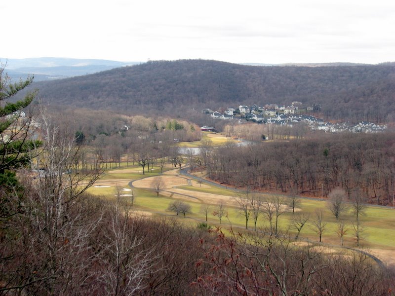
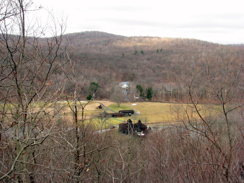 Golf course to the west |
 |
 |
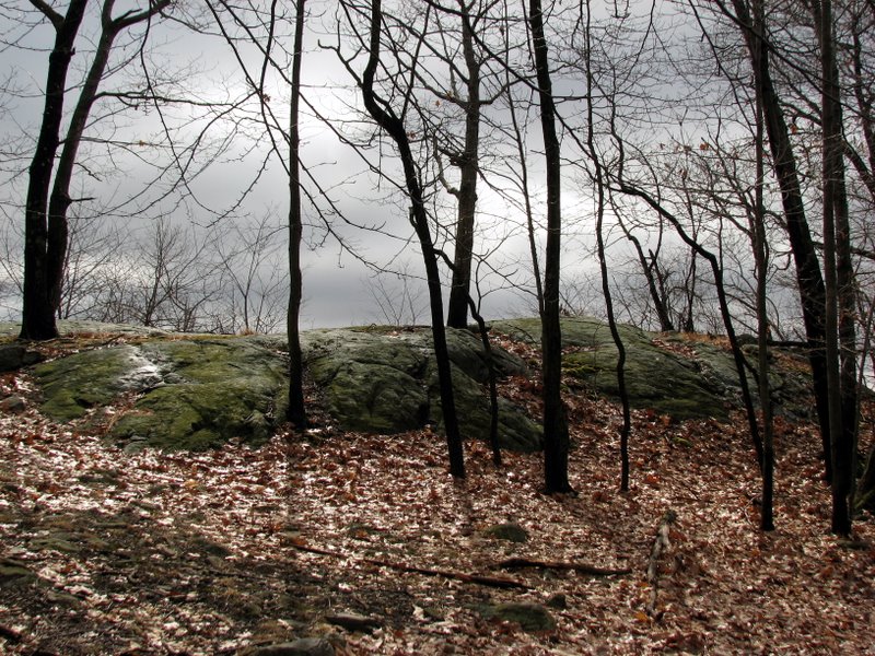
 Pines on Pine Hill! |
 Unblazed trail on ridge |
 |
 |
 View east from ridge |
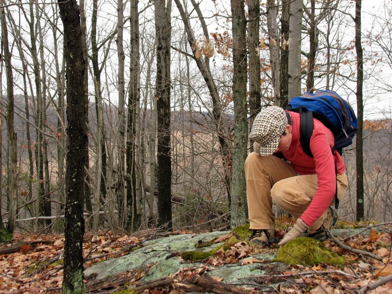 Feeling the moss |
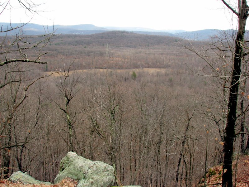 View east from Pine Hill |
 |
 |
 |
 |
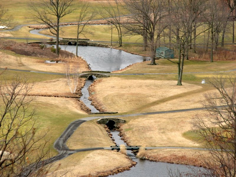 Bridges on the golf course |
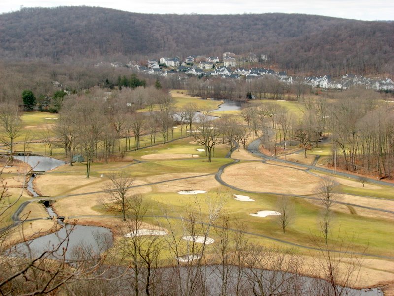 |
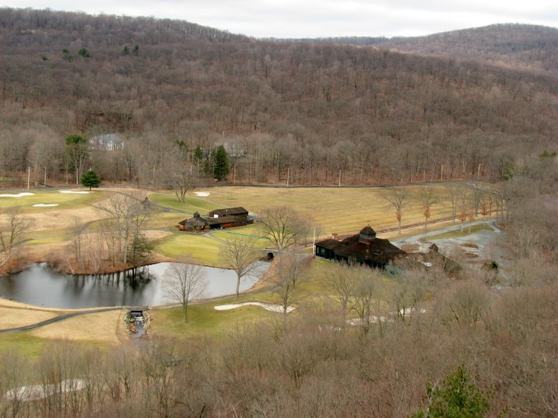 Golf course clubhouses |
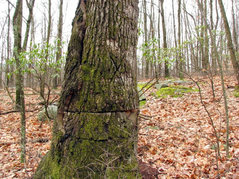 This tree is a survivor! |
 Sun coming out |
 |
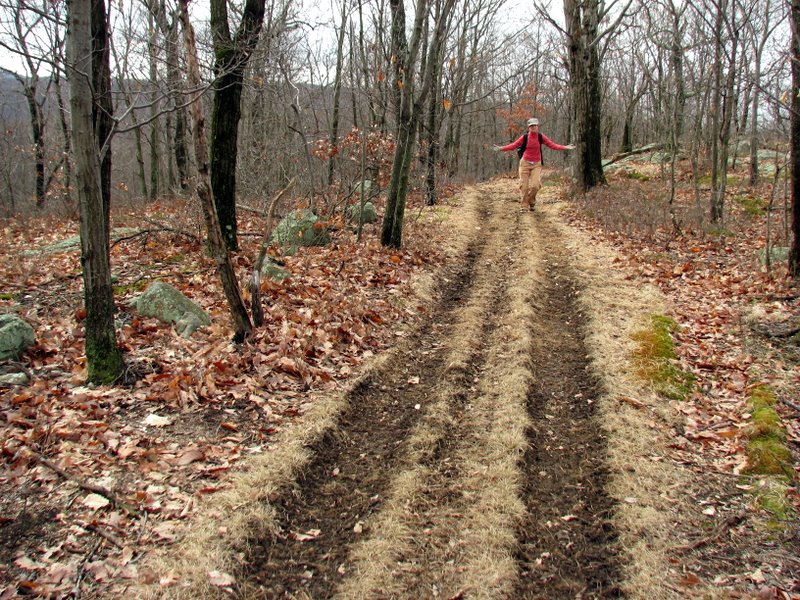
 Descent back to trailhead |

|
|
Photographs and content copyright © Dan Balogh Web design by Dan Balogh |