 |
|
For quite some time I have been interested in exploring the two viewpoint "stars" denoted on the NYNJTC map for Northern Harriman on a mountain with the strange name Pingyp
(how this is pronounced is anyone's guess). But the lack of parking areas in the vicinity has discouraged me. The nearest to a trail is the one where the Suffern-Bear Mountain
trail cosses Route 106, several miles
away, and with several climbs. The nearest of all is on Tiorati Brook Road a one-mile road walk to the bottom of Pingyp, and what fun is that. In both cases, the viewpoints
would be enjoyed only after climbing the steepest trail in all of Harriman, enjoying the views, and then turning around and climbing back
down the steepest trail in Harriman, something warned against in nearly all information I have been able to gather on this topic.
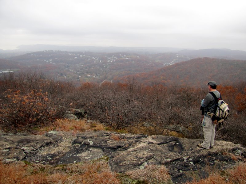
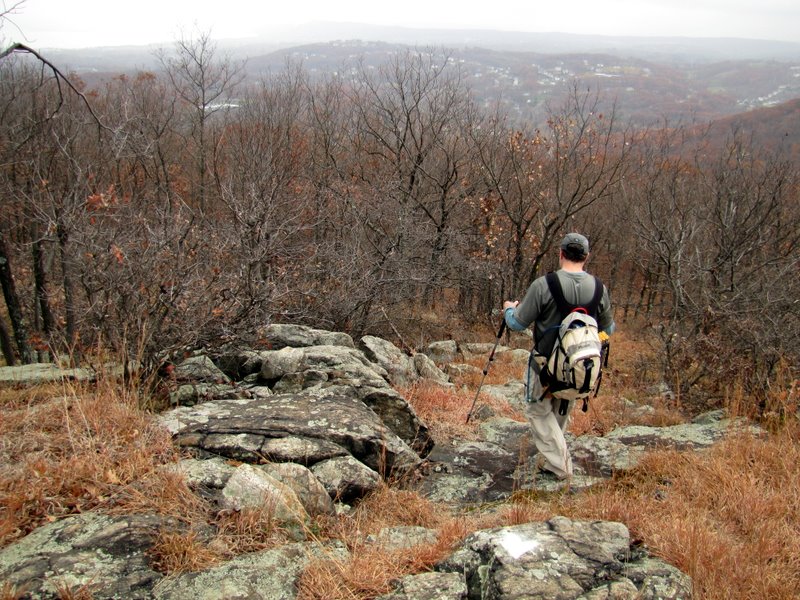
Undeterred, I noticed something in the New York Walks book which mentioned a road shoulder about a quarter mile east of the eastern trailhead for the 1779 Trail (not, incidentally, denoted on the NYNJTC map). This would allow one to hike to the viewpoints without having to climb, and then descend, the steepest trail in the park. That was good enough for me! So today my friend Andy and I headed to Harriman to "bag" this fabled peak. We parked on Mott Farm Road, on the shoulder just feet northeast of its intersection with Queensboro Road. We walked up the very steep Queensboro to the beginning of the 1779 and took that west to the Suffern-Bear Mountain trail, turning left. This trail we took all the way to the views on the southern tip of the mountain, where we had lunch before turning back. After partially descending Pingyp, instead of backtracking on the Suffern-Bear Mountain and 1779, we took a couple of woods roads heading east and then north, finally reaching the 1779 Trail within a few hundred yards of its end. Total distance hiked today was 5.5 miles in just over 4 hours. The views, as you can see in the photos, were spectacular. This is one of the most remote areas in the entire park, no surprise given how tough it is to get to.
|
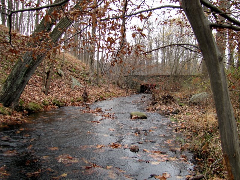 Stream along Mott Farm Road |
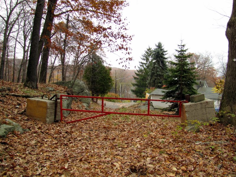 Gate at the trailhead of 1779 |
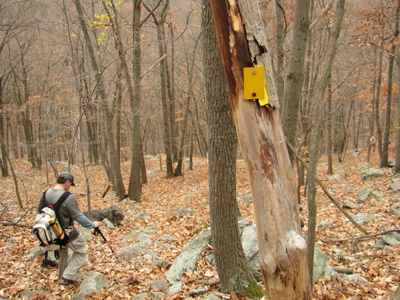
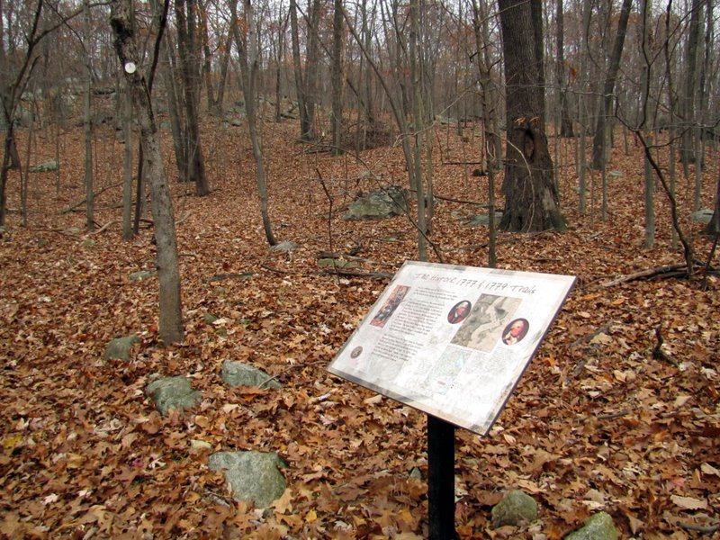 1777/1779 trail informational sign |
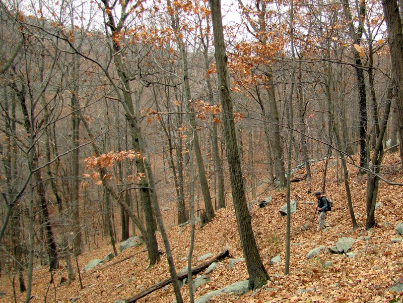
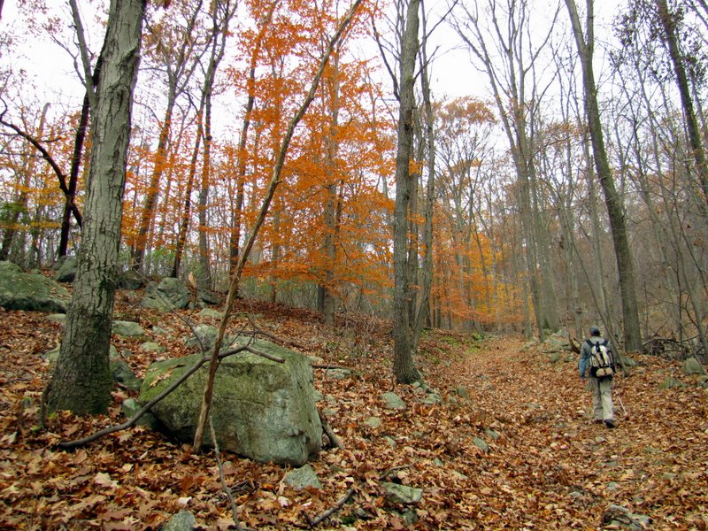 Climbing 1779 |
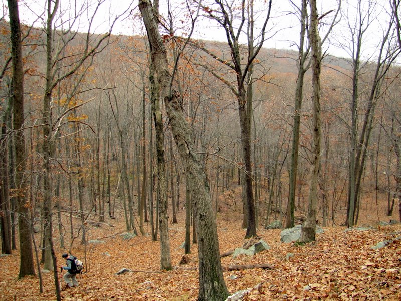
 And more climbing |
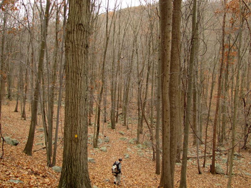
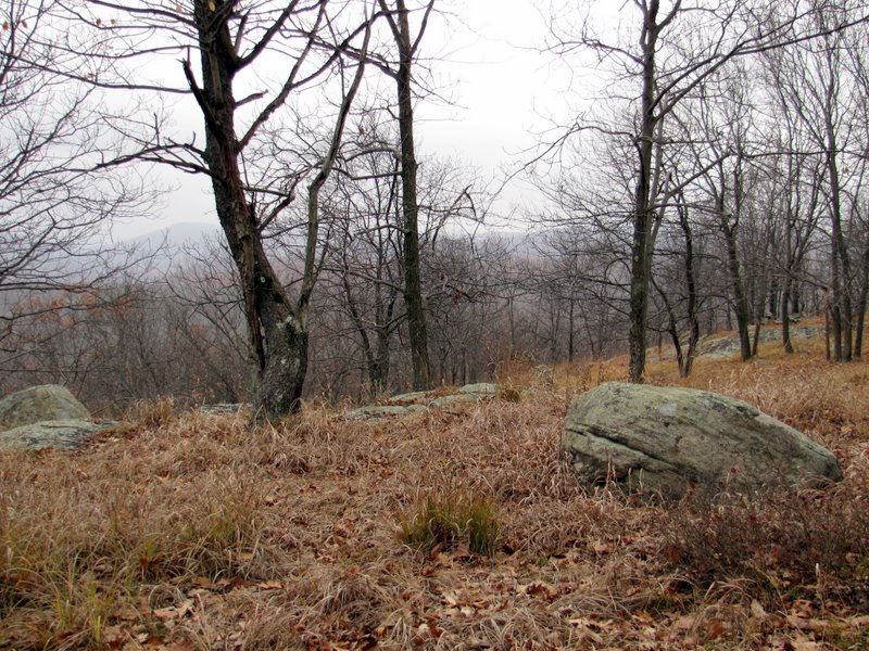
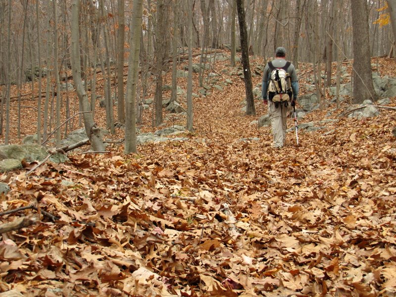 Significant leaf drop |
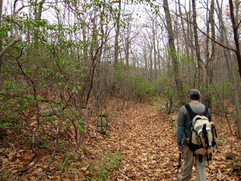 Mountain Laurel thicket |
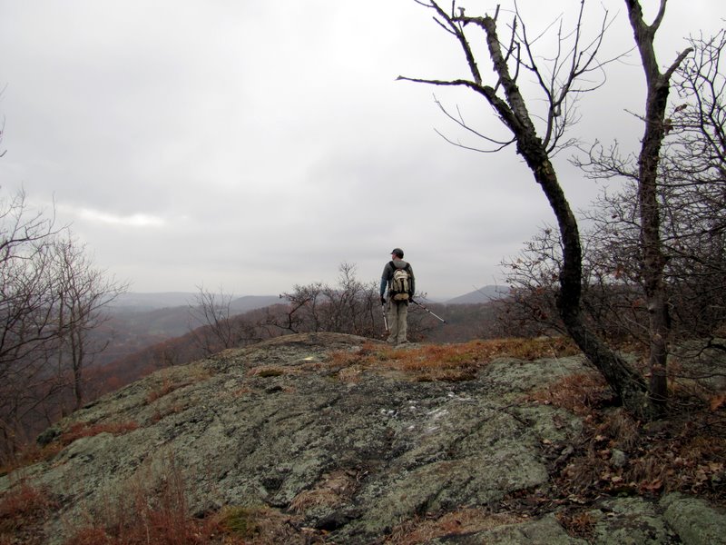
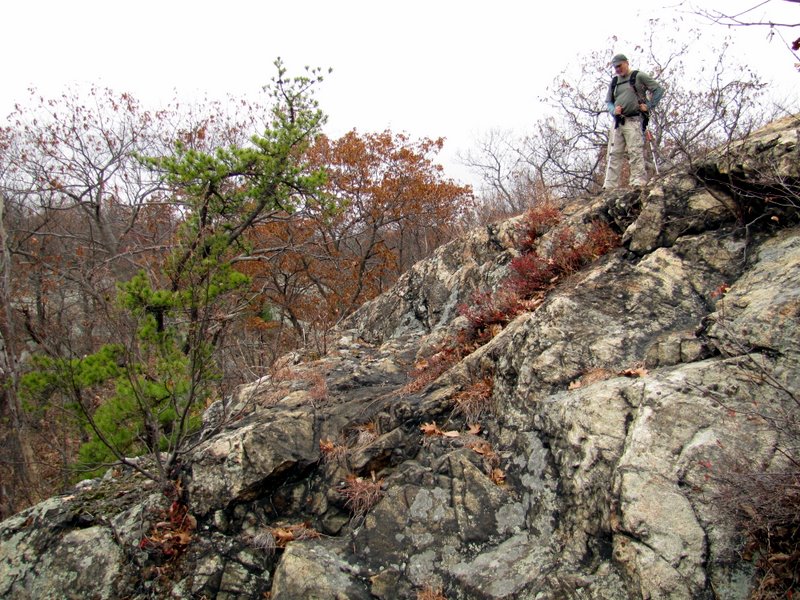
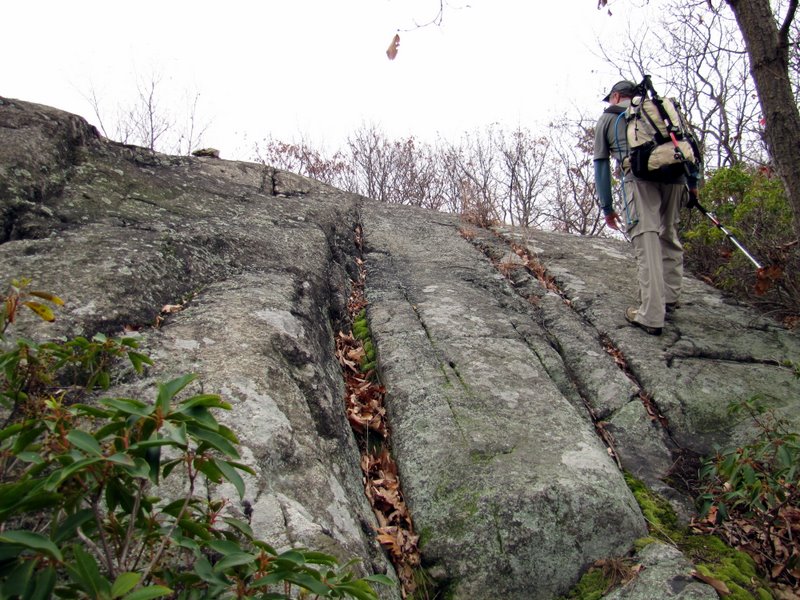 Climbing the Pines on the S-BM |
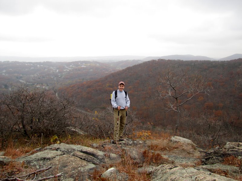
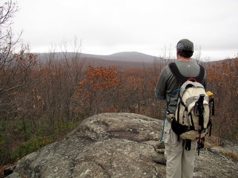 Views ... |
 ... from the ... |
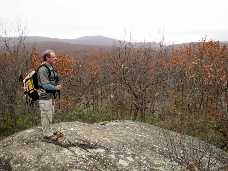 ... summit of ... |
 ... The Pines |
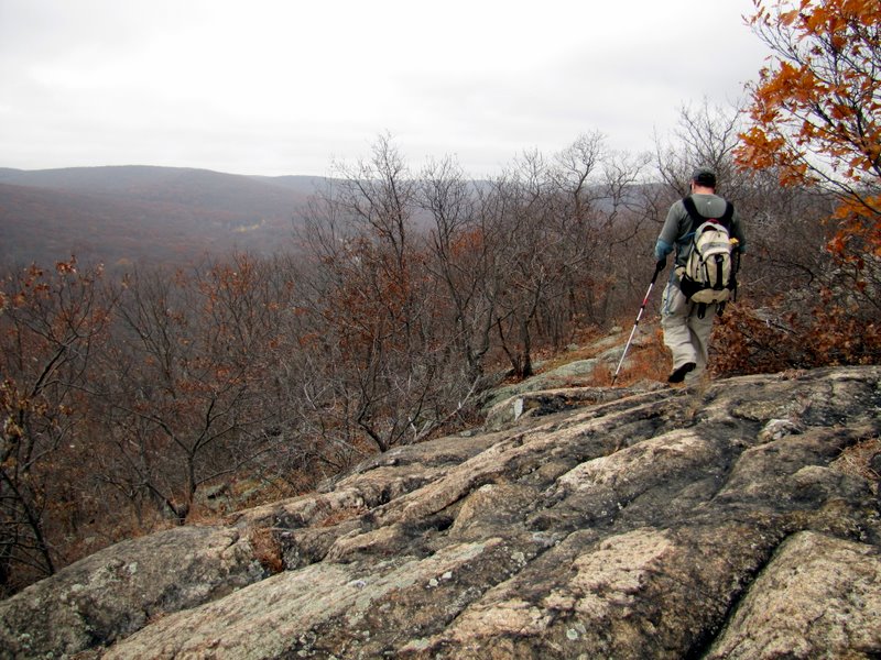
 Very steep ... |
 ... 250-foot descent ... |
 ... down the Pines |
 |
 Still descending |
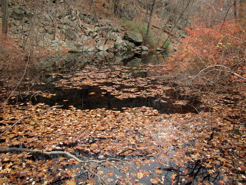
 Fireplace at the bottom |
 |
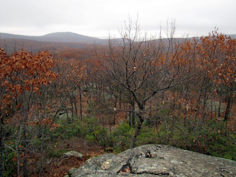
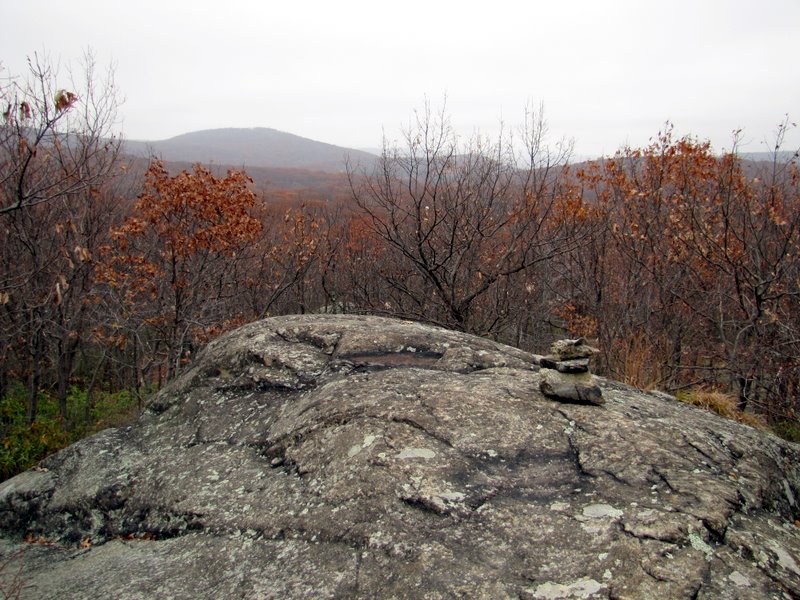
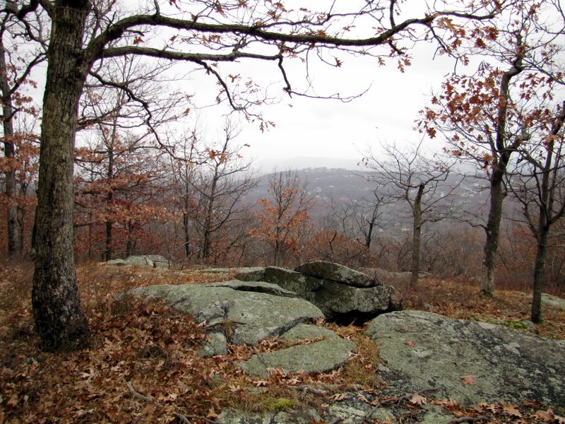
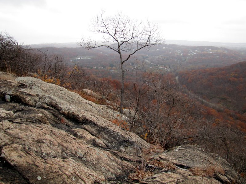
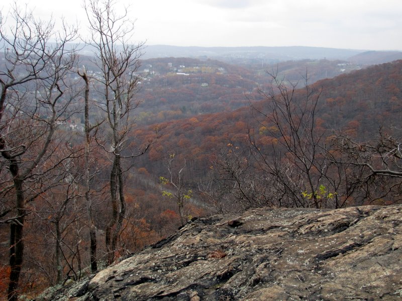
 Partial views on Pingyp |
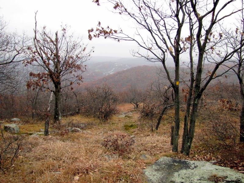 |
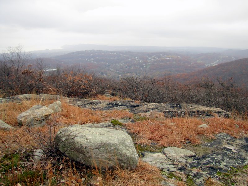
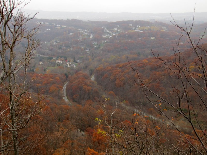
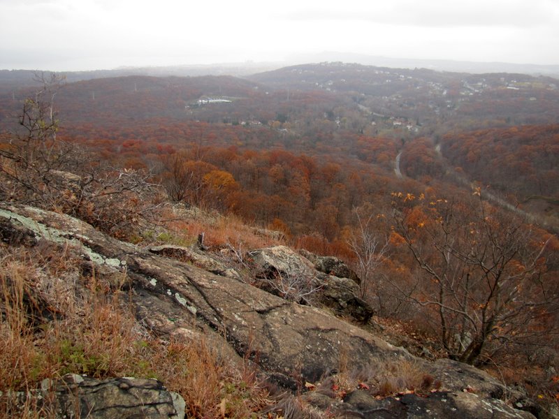
 First vista on Pingyp |
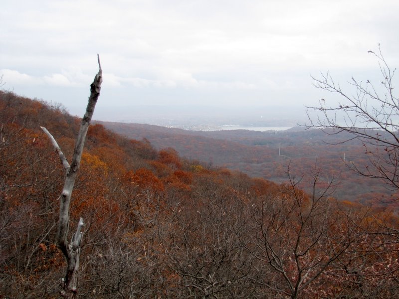
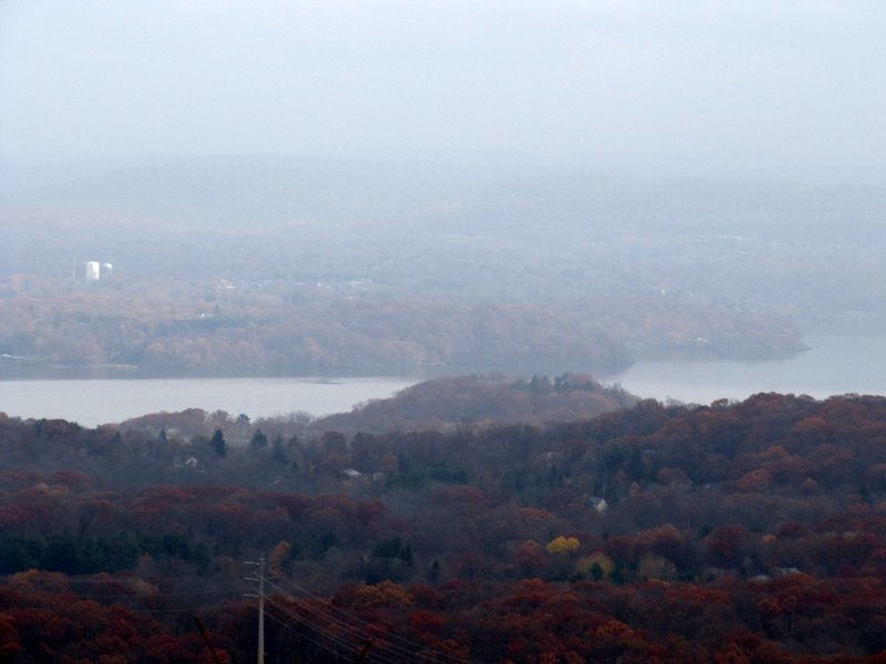
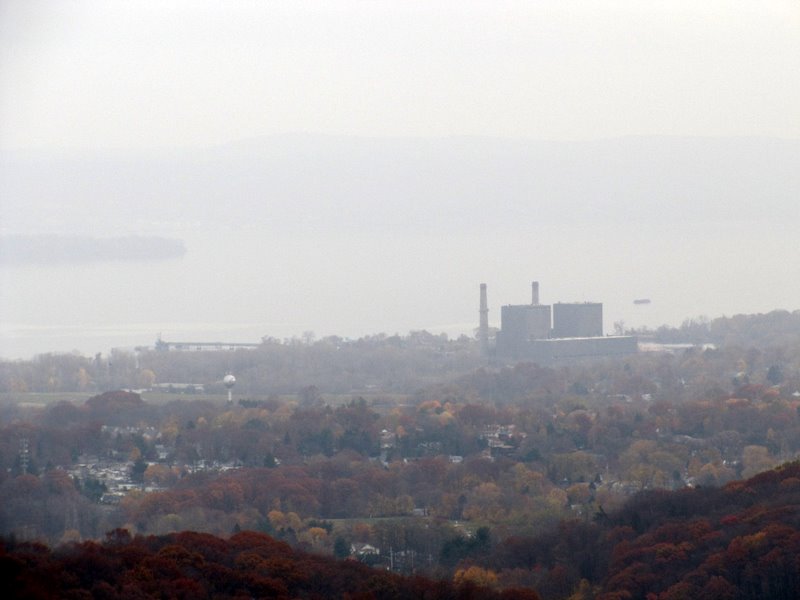
 Hazy view to the Hudson |
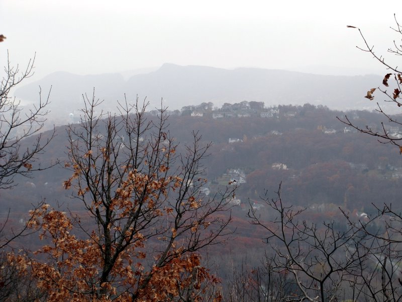
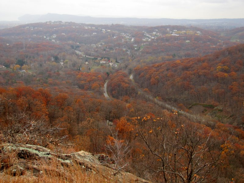
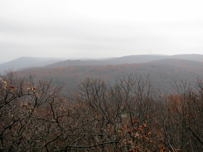 Harriman mountains west |
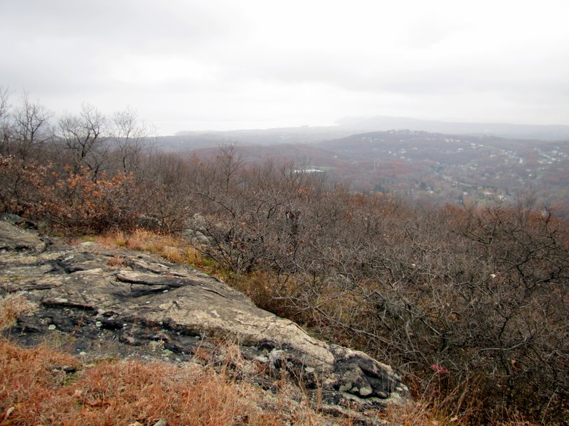
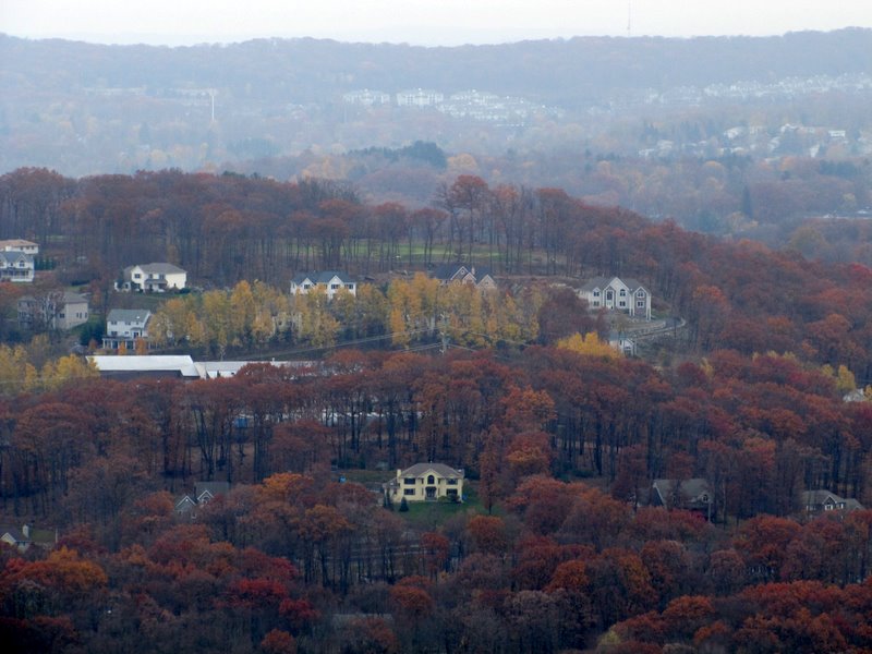
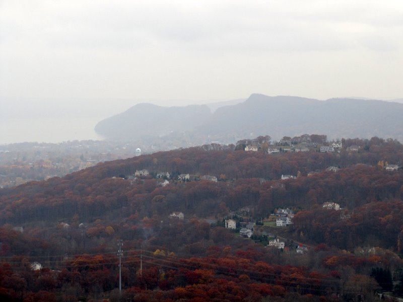
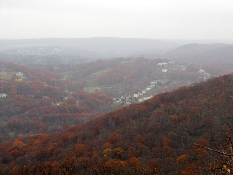 View south to Stony Point ... |
 ... and Theills |
 |
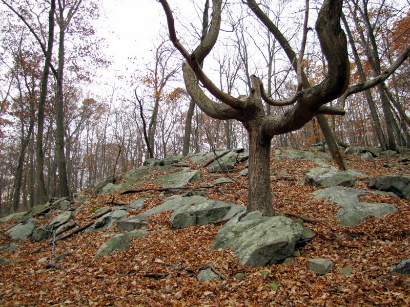
 Glacial errata |
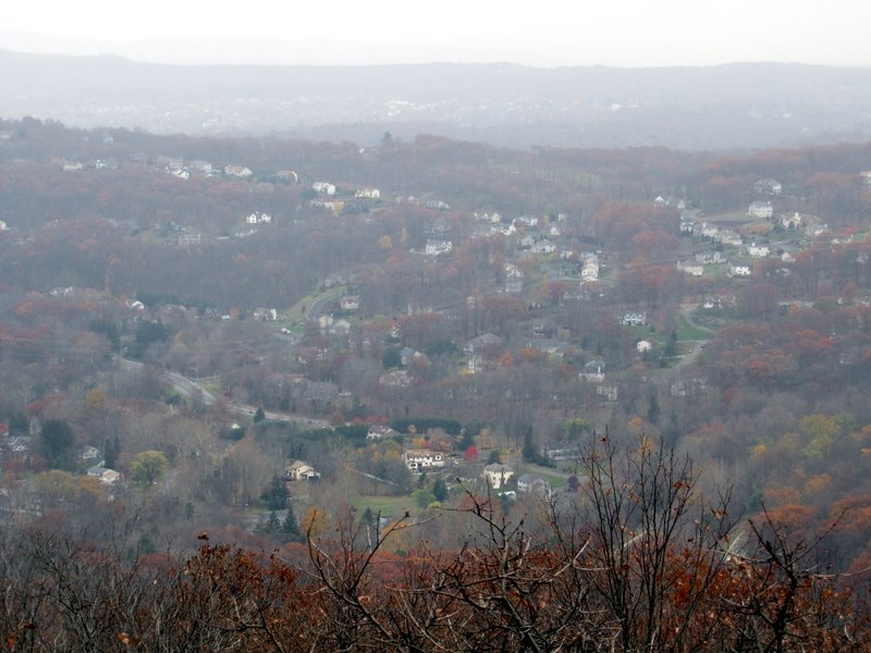
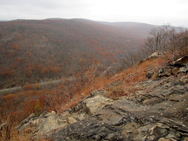
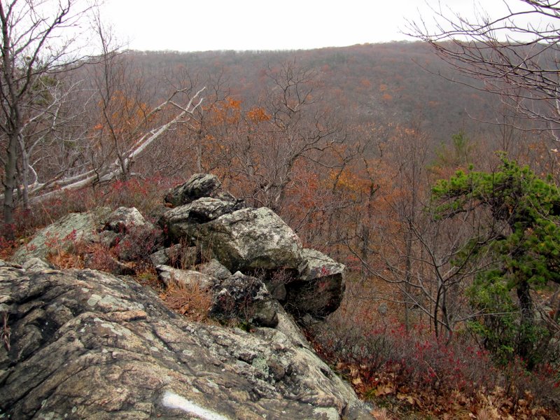
 View south to Jackie Mountain |
 |
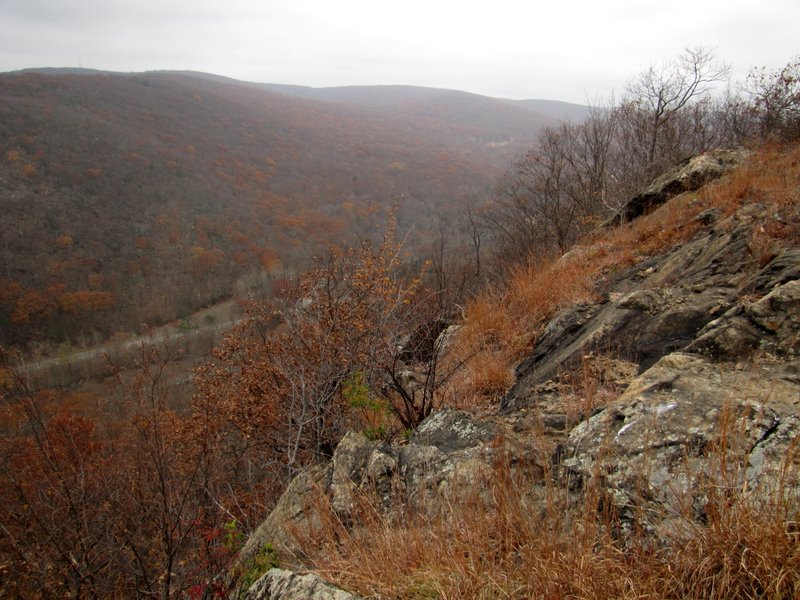
 Descending to another vista |
 |
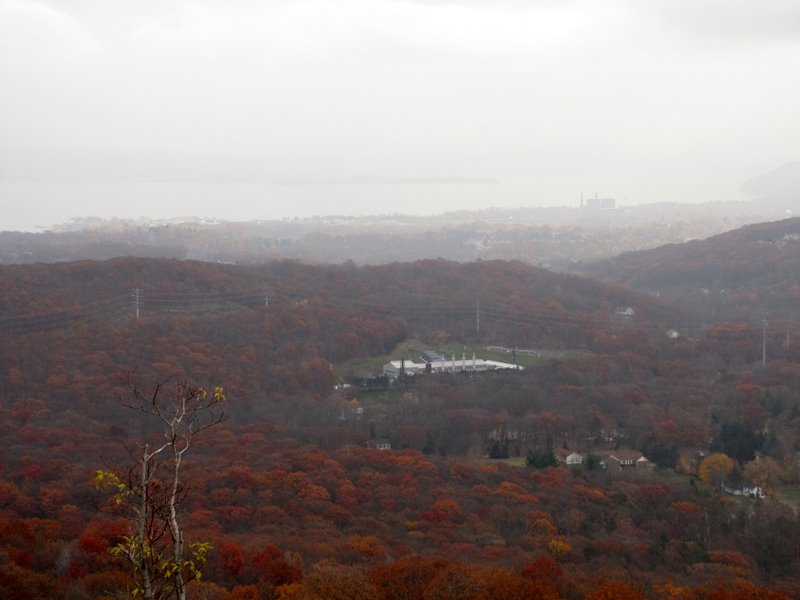
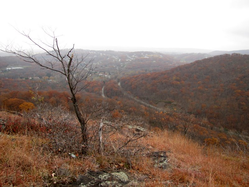
 Cheesecote Mt & High Tor behind |
 |
 |
 Palisades Interstate Parkway |
 Cheesecote Mountain |
 View to Cedar Flats |
 View of Pound Swamp Mountain |
 |
 |
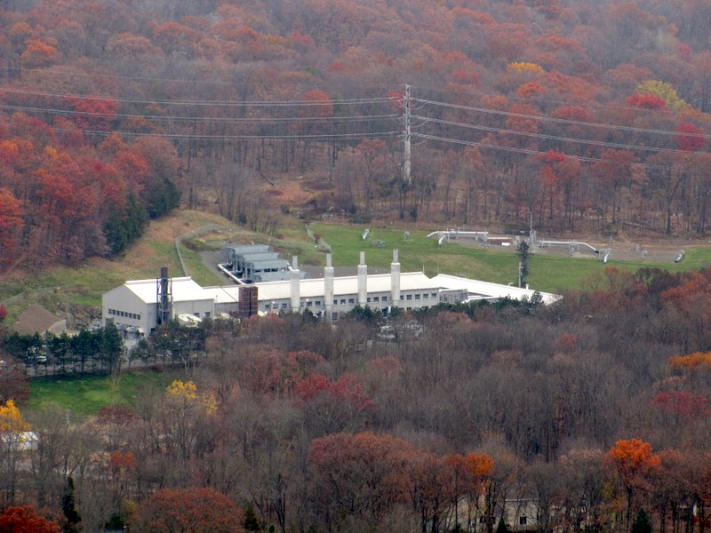
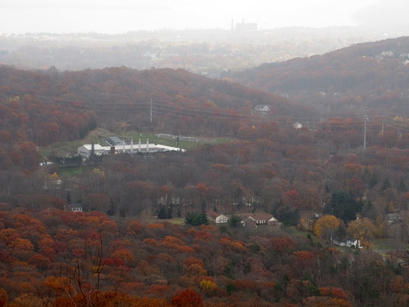 Algonquin Gas Transmission Company |
 |
 Jackie Mt and the PIP |
 [Photo by Andy] |
 Heading north along ridge |
 |
 |
 Gazing into a crevasse |
 |
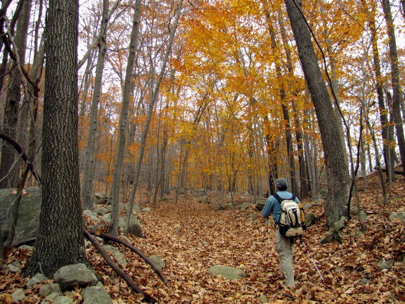
 Fall foliage ... |
 ... still going strong |
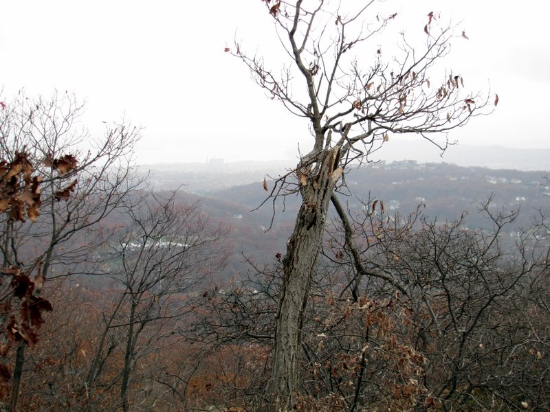
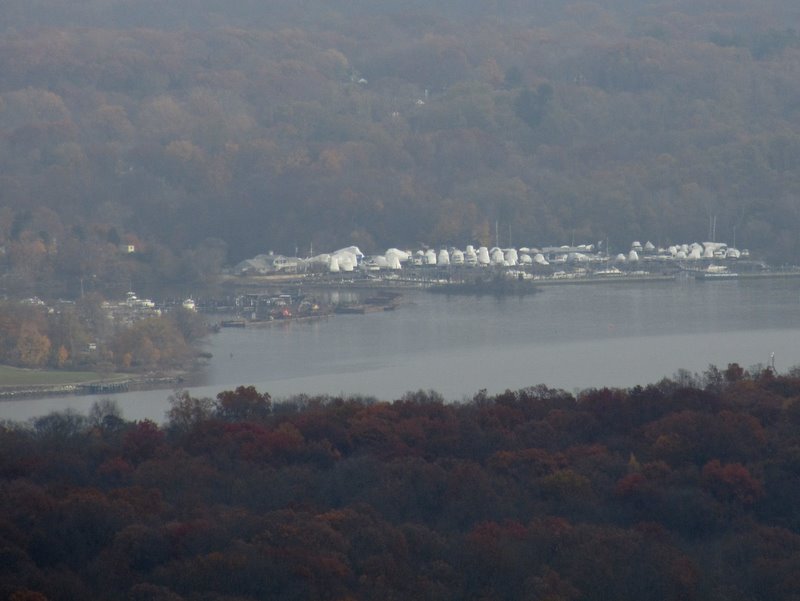 Covered boats on east bank of Hudson |
 Hudson River |
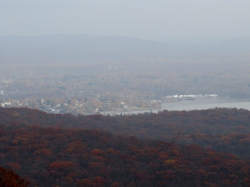
 Houses in Stony Point |
 |
 Stony Point State Park |
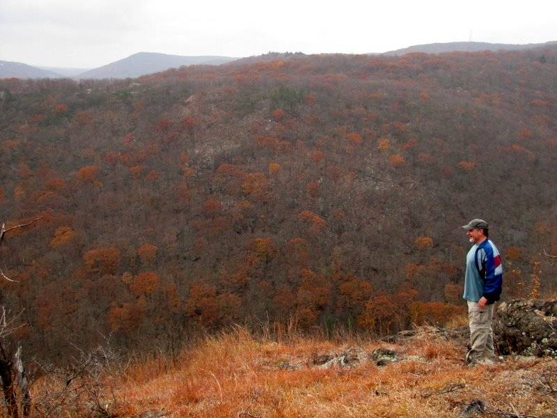 Andy and Pound Swamp Mt |
 Algonquin Gas Transmission Co in Cedar Flats |
 View towards Haverstraw |
 An autumnal PIP |
 Closeup of PIP below |
 View to the Tors |
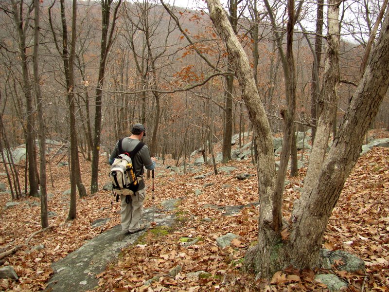
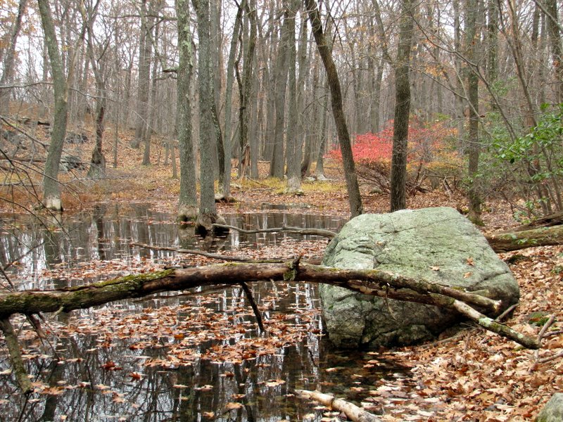
 Drowned trees on woods road |
 |
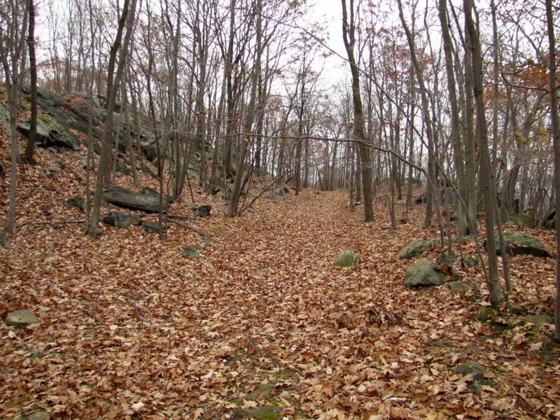 Very leafy woods road |
 |
 Beautiful little pond |
 Mountain Laurel-lined woods road |
 |
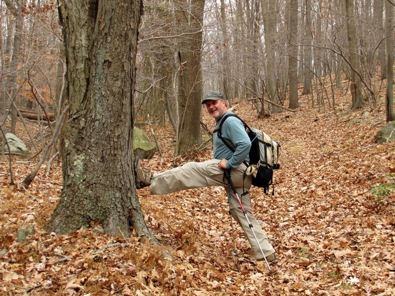 Stretching |
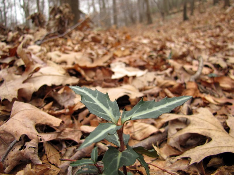 Trail plant |
 Late fall color |
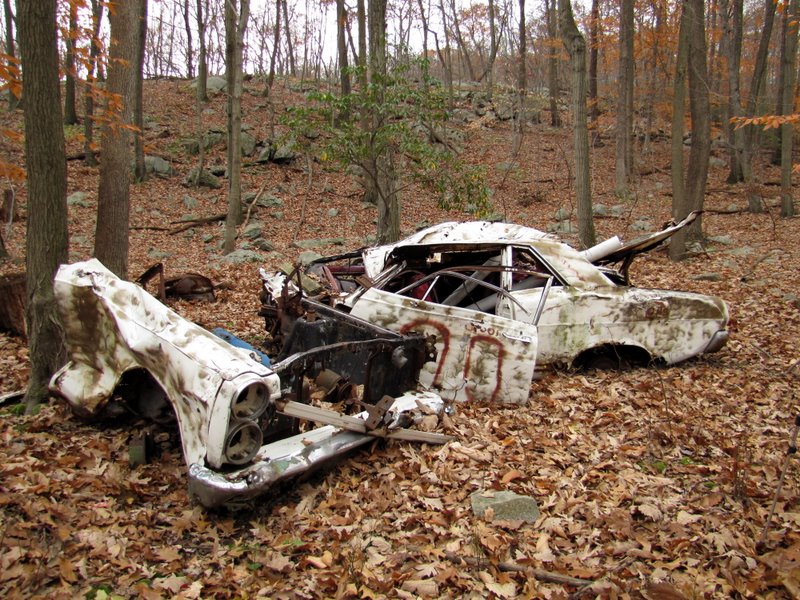 Abandoned car |
 Last of the foliage |
 |

|
|
Photographs and content copyright © Dan Balogh Web design by Dan Balogh |